Martinique
We spent our first 4 days on the island at an apartment right on the beach at Les Anses-d’Arlet (in case anybody was interested in the name of the town). Sunset from our porch:
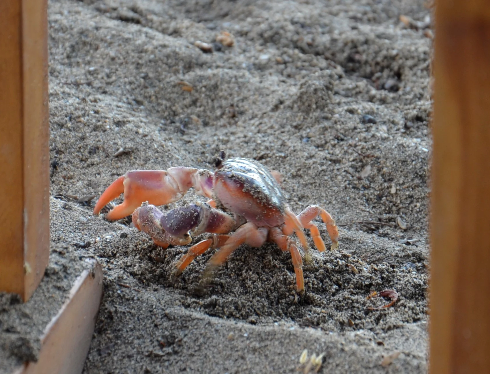
A different “coffee buddy” -
He was the size of my hand, and lived in a hole under our porch.
We spent our time on this southern part of the island driving around the coast and checking out beaches - rough life, I know. Very pretty and expansive beach that was abysmal for snorkeling - [No one else was doing so; we should have heeded that observation.]
We found the best snorkeling on this island to be right outside our gate on the beach in front of us!
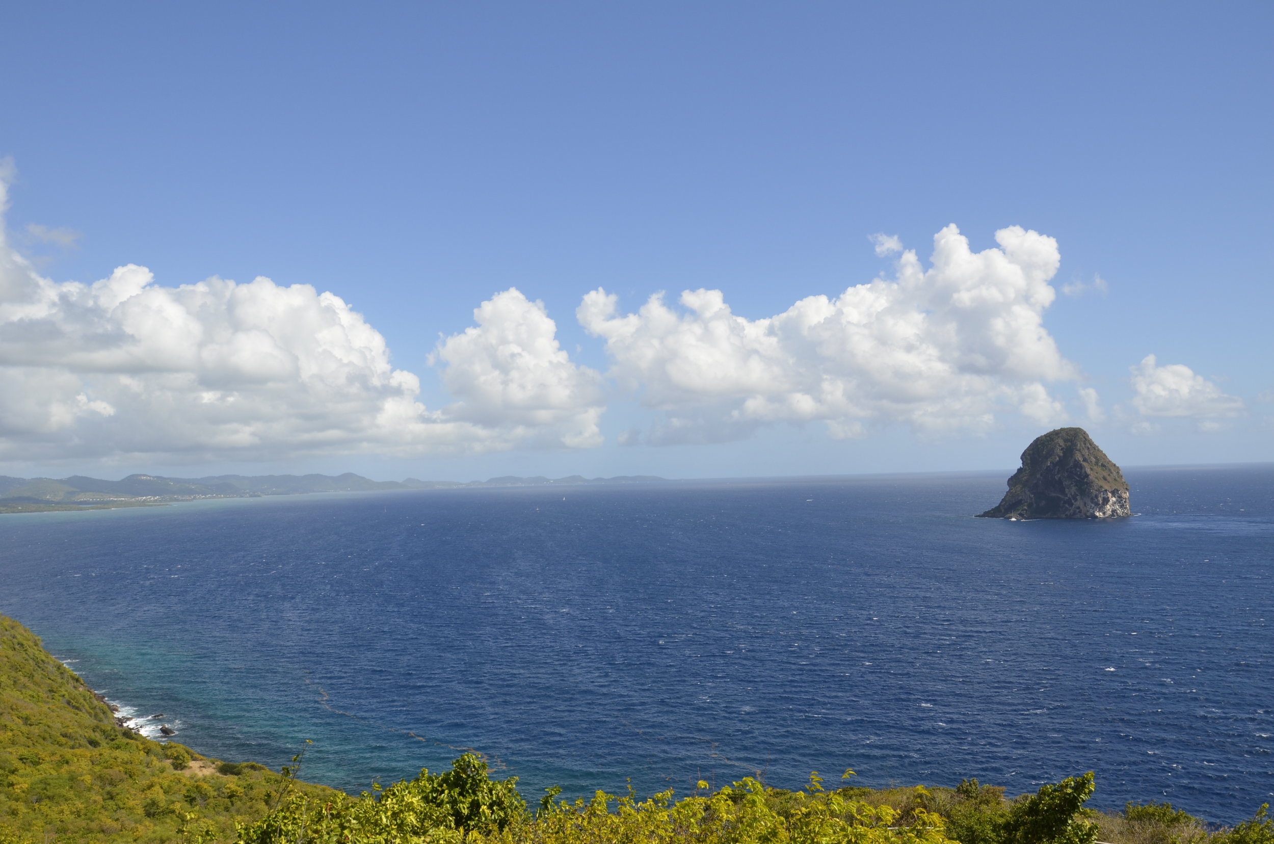
Tired of pictures of palm trees and beaches? No?
That’s Diamond Rock. Here’s another view:
We then moved to the northern part of the island to stay in a rainforest B&B. And did it rain… every day, at least a fine drizzle. Then about every other day, constant rain or even downpours that lasted the entire day. This is the view from our balcony, on a pretty clear day -
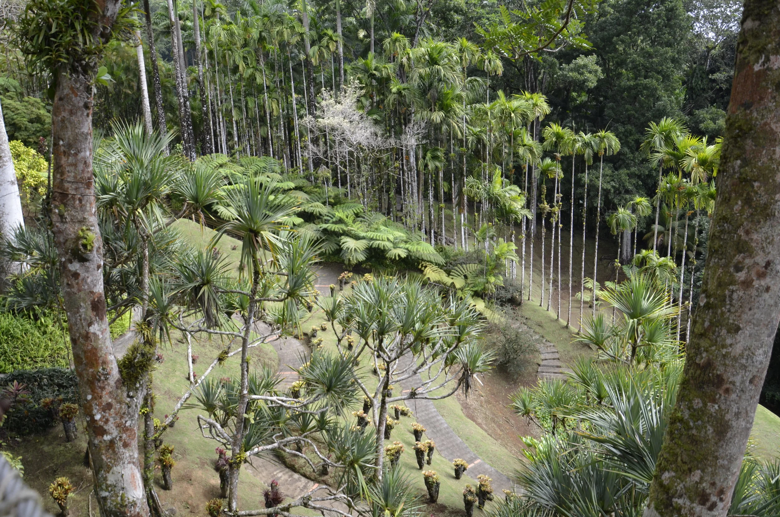
On the way here, we stopped at a botanical garden, as something to kill time before check-in, and we were super happy to have stopped. It was actually pretty large, and gorgeously maintained. As you walk in, there are hummingbird feeders that had me shooting way too many pictures that I edited down to:
There was an elevated walkway that was a series of swinging bridges suspended between multiple trees, that allowed this view:
As we drove around, I would tell Steve that the road ahead was “squiggly”:
…this meant that there were a lot of twists and turns, as well as hairpin turns and switchbacks, with a lot being on an unbelievable grade and having sheer drop offs with little or no shoulder. Luckily most of the roads were wide enough for 2 cars to barely pass. Once both Steve and the other driver had to fold in the side mirrors.
The vegetation was indescribably lush.
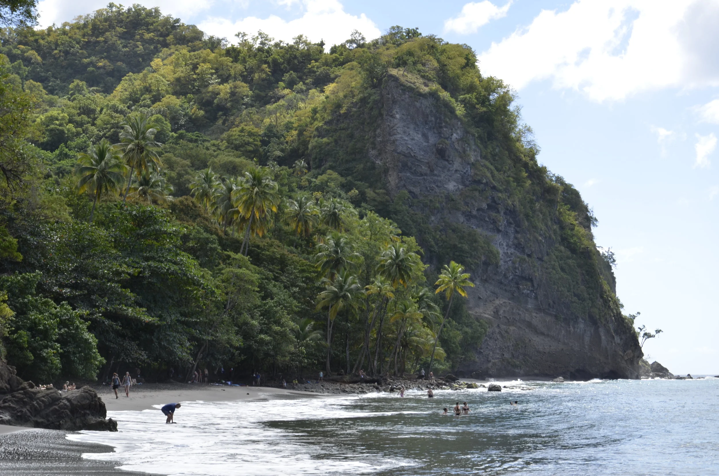
We hiked to a black sand beach, of which there are many along the west coast due to the volcanic origin of the island.
The sand was so fine and dark it looked like mud:
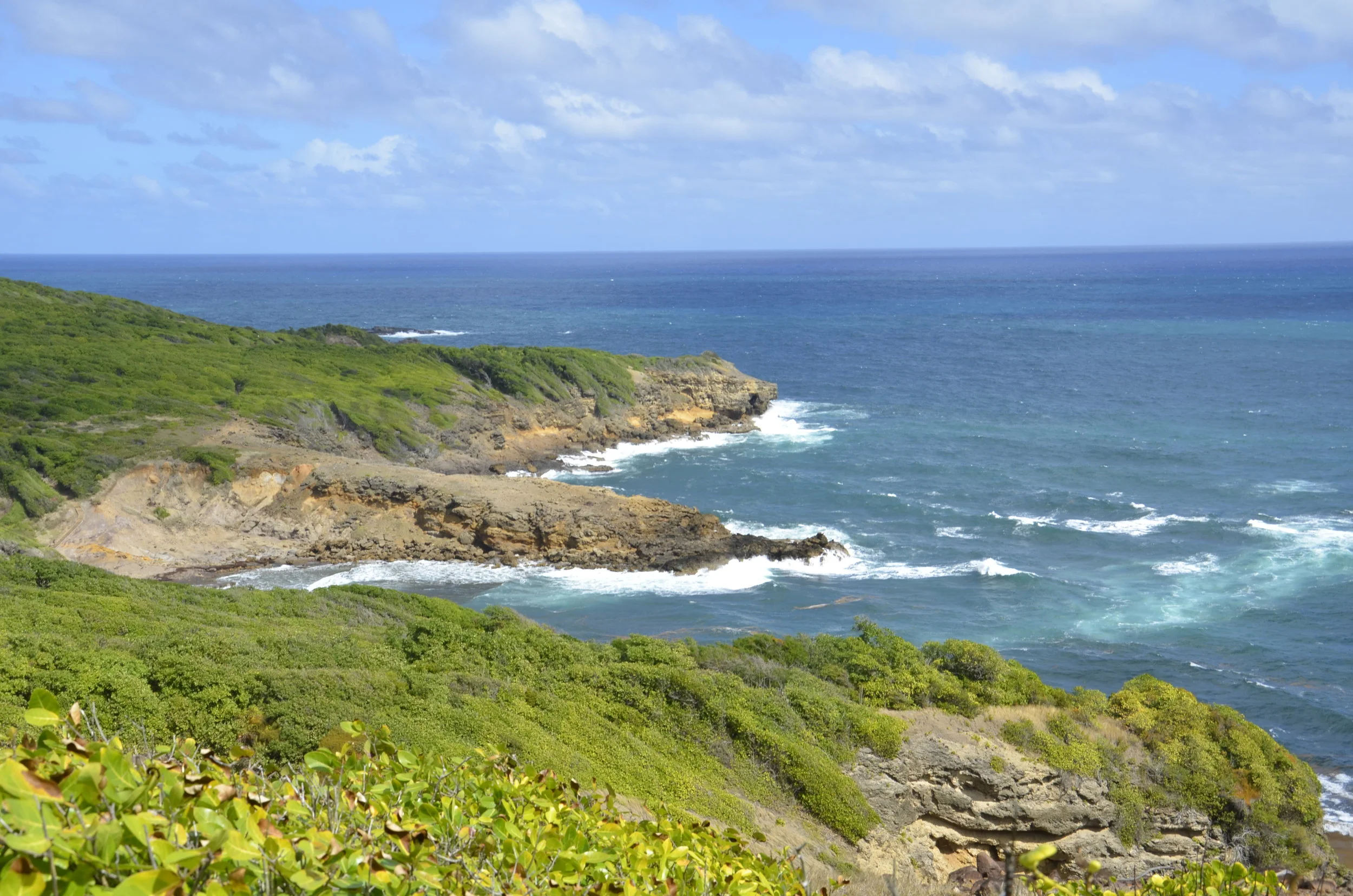
One morning, we drove across the island to Presqu’ile de la Caravelle - a long isthmus extending out into the Atlantic on the east coast, and hiked up to a lighthouse for awesome views:
Hiking around the point gave us gorgeous views of the rugged Atlantic coast.
The contrasts between water, land and sky kept me saying “wow”.
This was the halfway point of the 6 mile hike, when I was still smiling:
When we were wandering around the ruins of a sugar and rum plantation from the 1700’s, I suddenly started feeling very bad - nauseated, crampy, dizzy and lightheaded. I nearly fainted, but bent over in the shade until all that passed, and then felt much better after getting back to the car. As we enjoyed a great lunch at a beach restaurant, I looked up the symptoms of heat exhaustion, and found that I fit that to a “T”. During the hike I had felt strong and fine, but looking back, I probably didn’t drink near enough water along the way. I rehydrated that afternoon, and have had no issues since.
These Heliconia grow wild all over the island. There are many different varieties and color combinations.
One of the activities I had planned for us was hiking up Mt. Pelee, a still active volcano. However, the one day we drove up there, everything was shrouded in grey cloud and mist. Apparently this is the way it is all the time. I just couldn’t see killing myself ascending 3000 ft, clambering over rocks and through mud, and getting soaked in the constant rain for 4 hours, just to see the inside of more clouds. As you may remember, we had the fantastic hike and views up Mt. Soufriere on Guadeloupe, so I hunkered down and asked Steve to drive to the beach instead. The sweetie swallowed his hiking desire and turned the car back down the mountain.
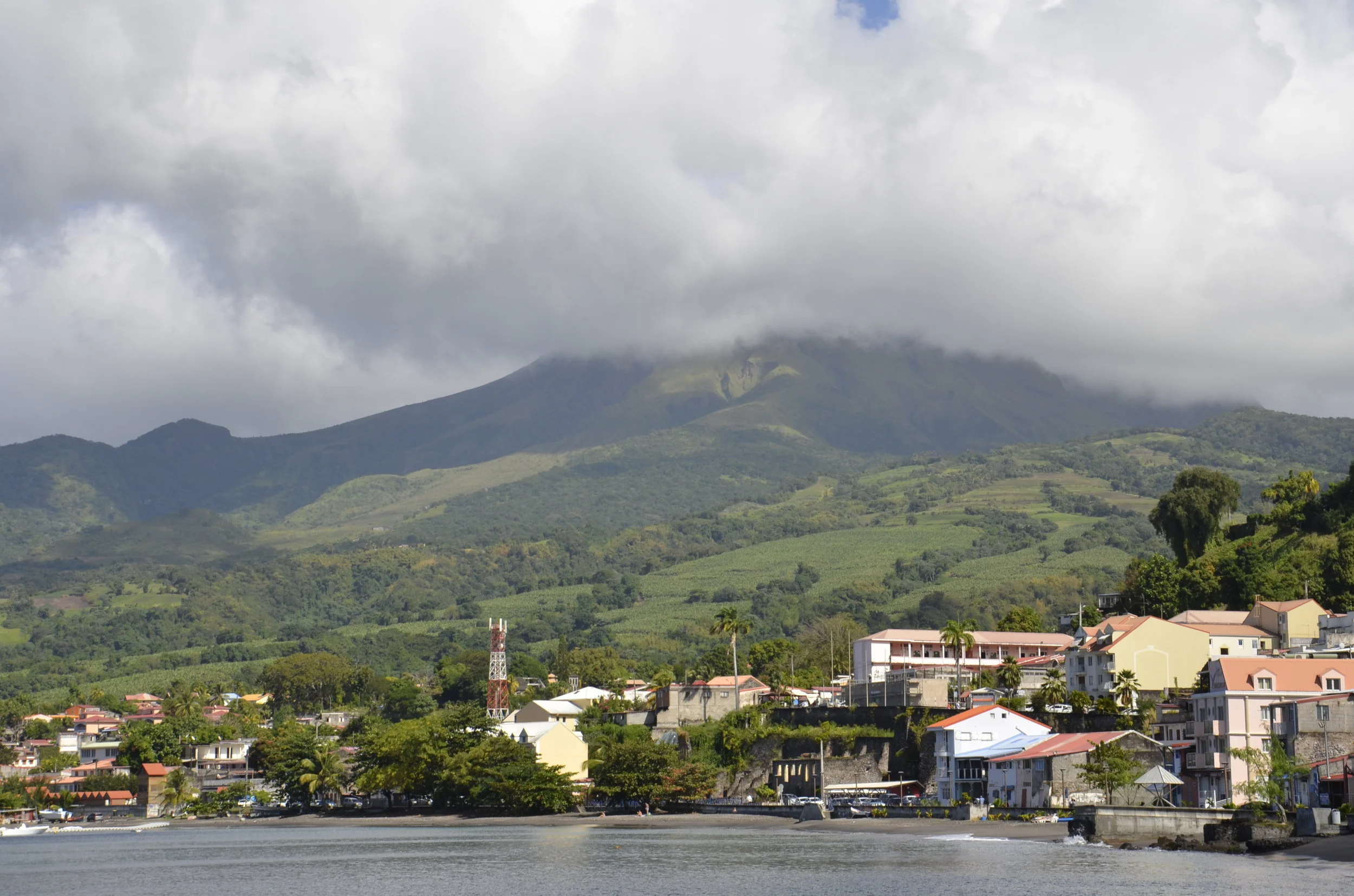
This is the town of St. Pierre, with Mt. Pelee looming over it, with its constant cap of clouds. St. Pierre was the initial capital of Martinique, but lost that position after Mt. Pelee erupted in 1902, destroying the town and killing 29,000 people.
Here is another view of the volcano, from the town of Morne Rouge at its base:
We plan to spend the day at the beach tomorrow, before heading on to Dominica and more adventures. I’ve always wanted to lay on a beach lounger under an umbrella, and have a nice young man bring me drinks in between swimming in the surf and watching these guys run in and out of their holes -
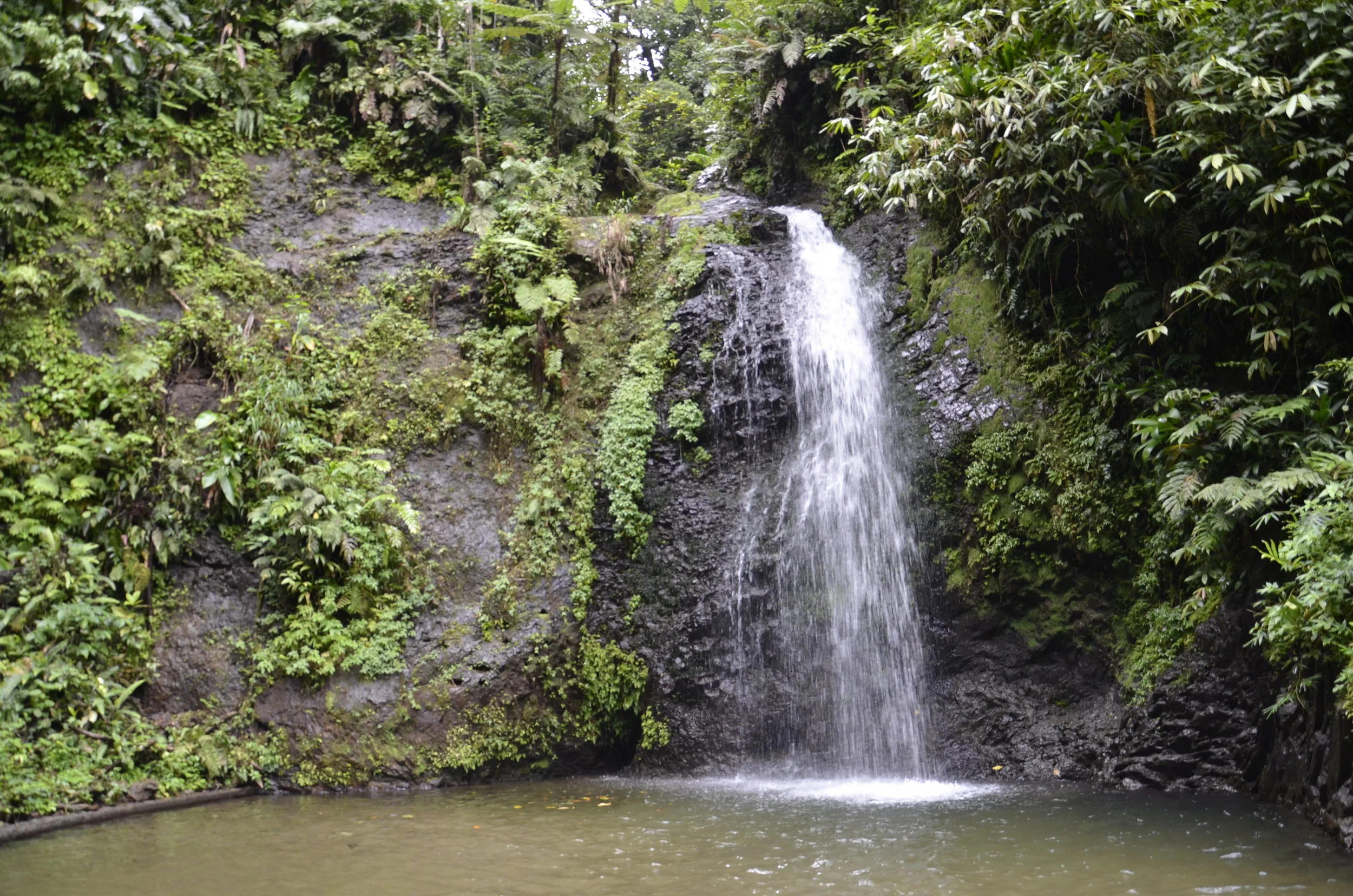
Leaving you with one last jungle picture -

