Landmannalaugar
As I was starting to write this post, Steve and I were discussing the hike, and decided that this was probably our favorite hike that we have done on our own since retirement. Yes, Salkantay in the Andes was great (but we had a guide) and Mist Trail in Yosemite is beautiful but crowded, but this was just a whole ‘nother level of fantastic!
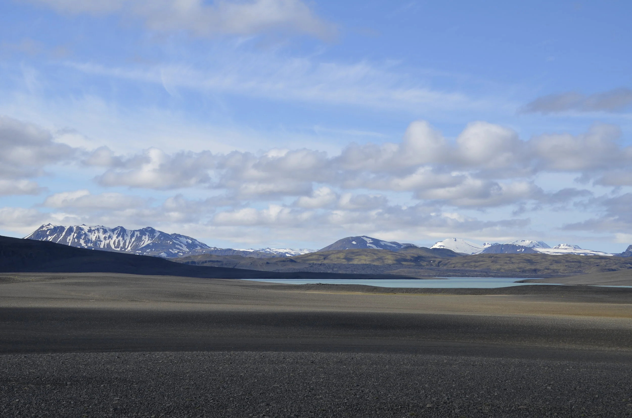
First you drive 2 1/2 hours into the southern Highlands, including a good distance on rough gravel roads (this is exactly why we rented a 4x4 for our trip), passing glaciers and irregular lava fields…
… that get more desolate…
… until you pass a beautiful lake…
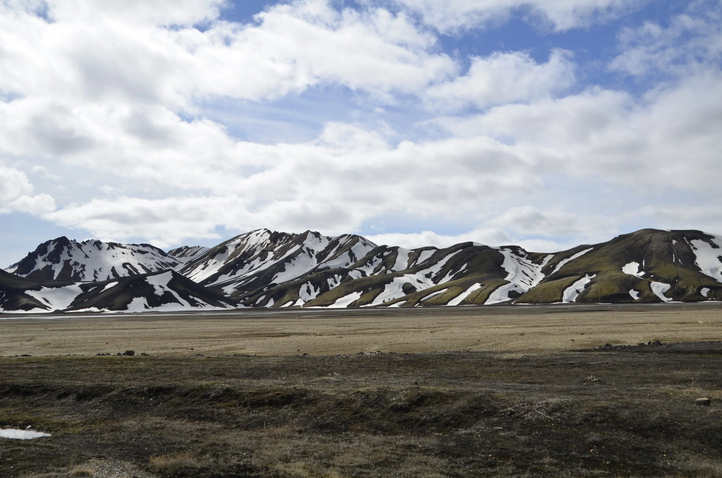
… and finally get close to the hills…
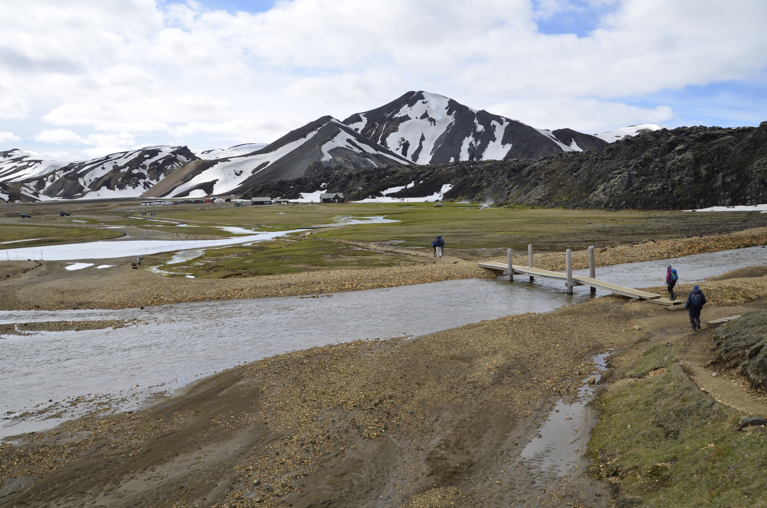
… that you know you’ve arrived.
First, you have to cross the river to get to basecamp, and sometimes it’s low enough to drive across, but not when we were there!
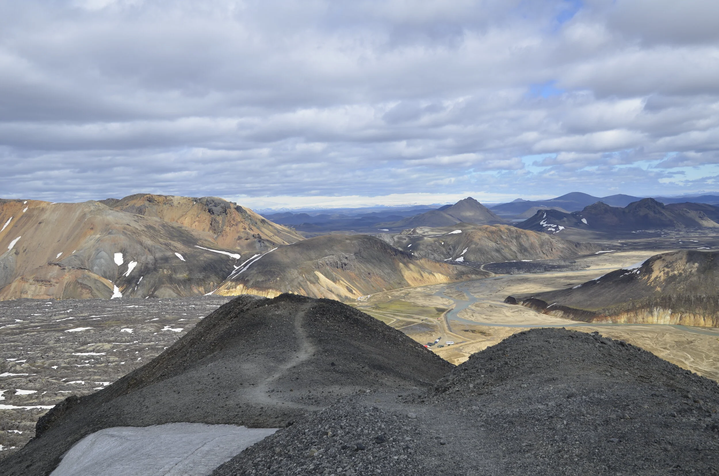
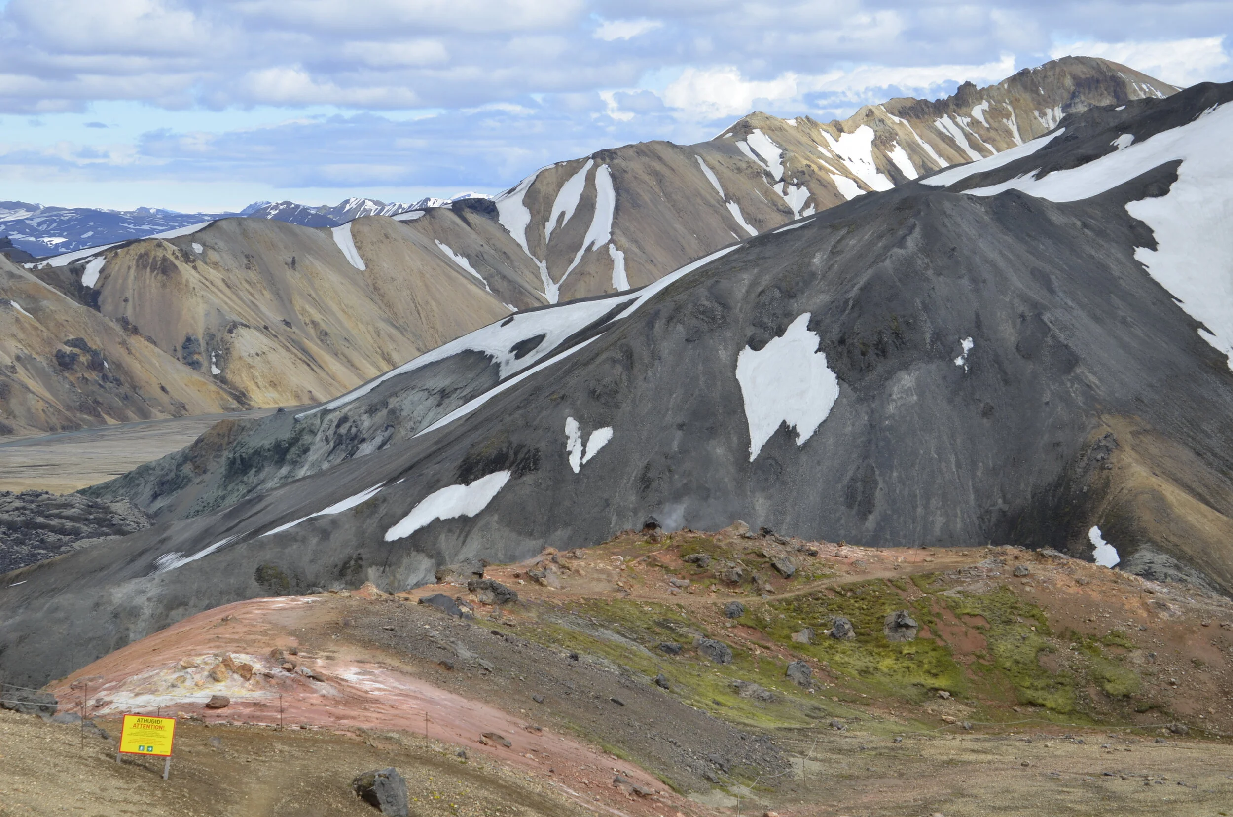
For those who might want to use this blog as a guide for a future Iceland trip, the trail we hiked was the Blahnukur - Brennisteinsalda loop. We first climbed Mt. Blahnukur…
… which is the taller of those two dark peaks in the picture above. (if you enlarge that picture, you can see the people on the trail, and at the top of the first “hill”)
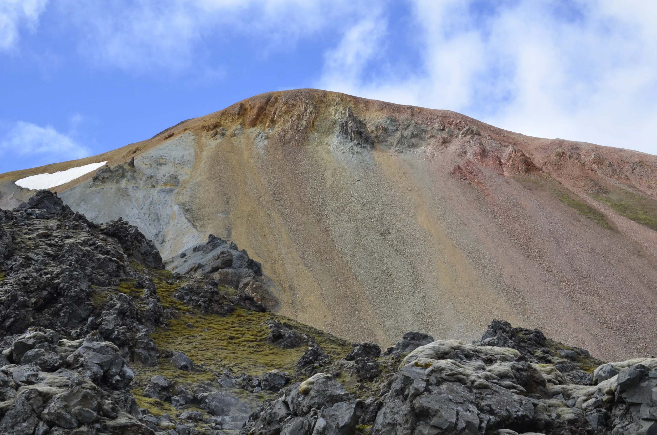
copper in the rocks gives the green cast, sulfur gives yellow and iron gives red
Pausing for a breather, we started seeing some awesome views -
This was our second peak, Mt. Brennisteinsalda:
Getting higher…
… and looking back on what we had accomplished so far -
(the little red dot is a building in basecamp)
Still going up…
… and getting new views -
On reaching the summit (3100 ft), we had climbed 2,000 ft in under 2 miles!
(yes, the trail continues along that grey spine in the foreground!)
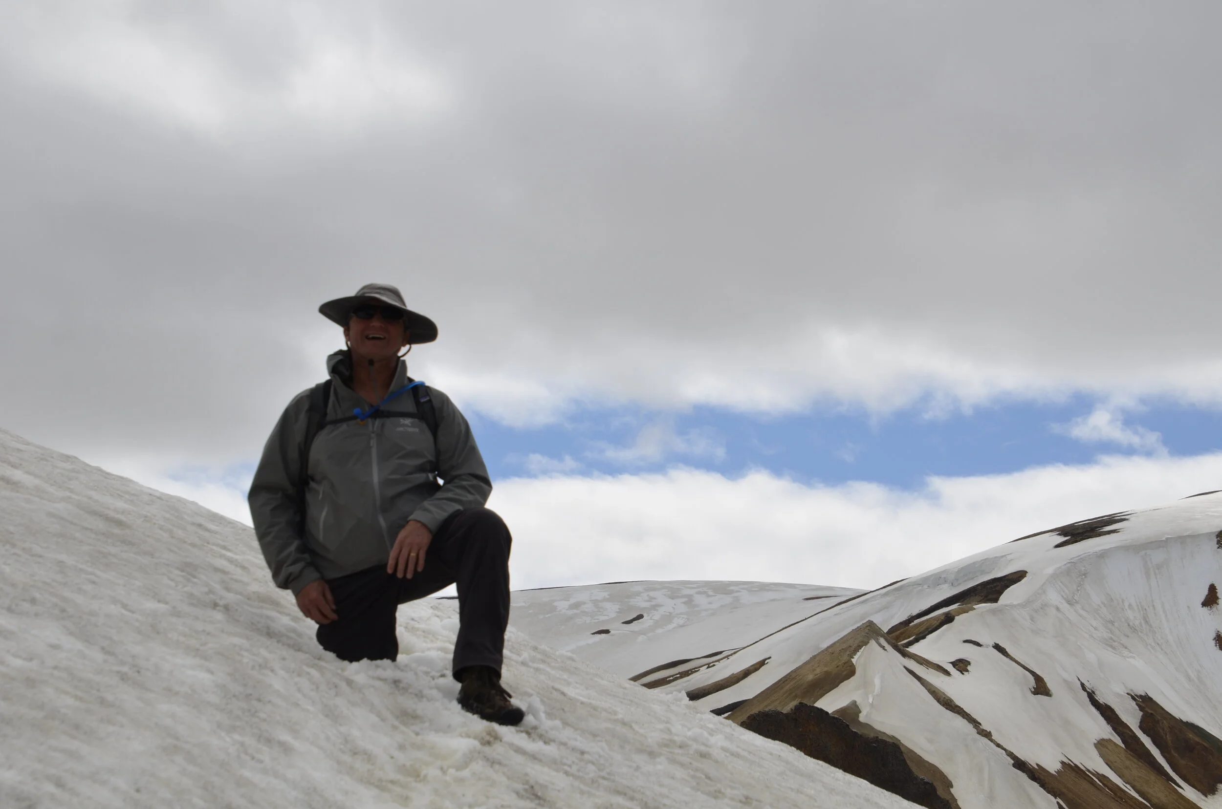
There was a horizontal spine at the summit, that I asked Steve to go out on for a picture, but he said the wind was too strong to safely stand upright:
The hills and lakes in the distance almost look like a painting -
(note the edge of the rough lava field just above basecamp)
So, moving on…
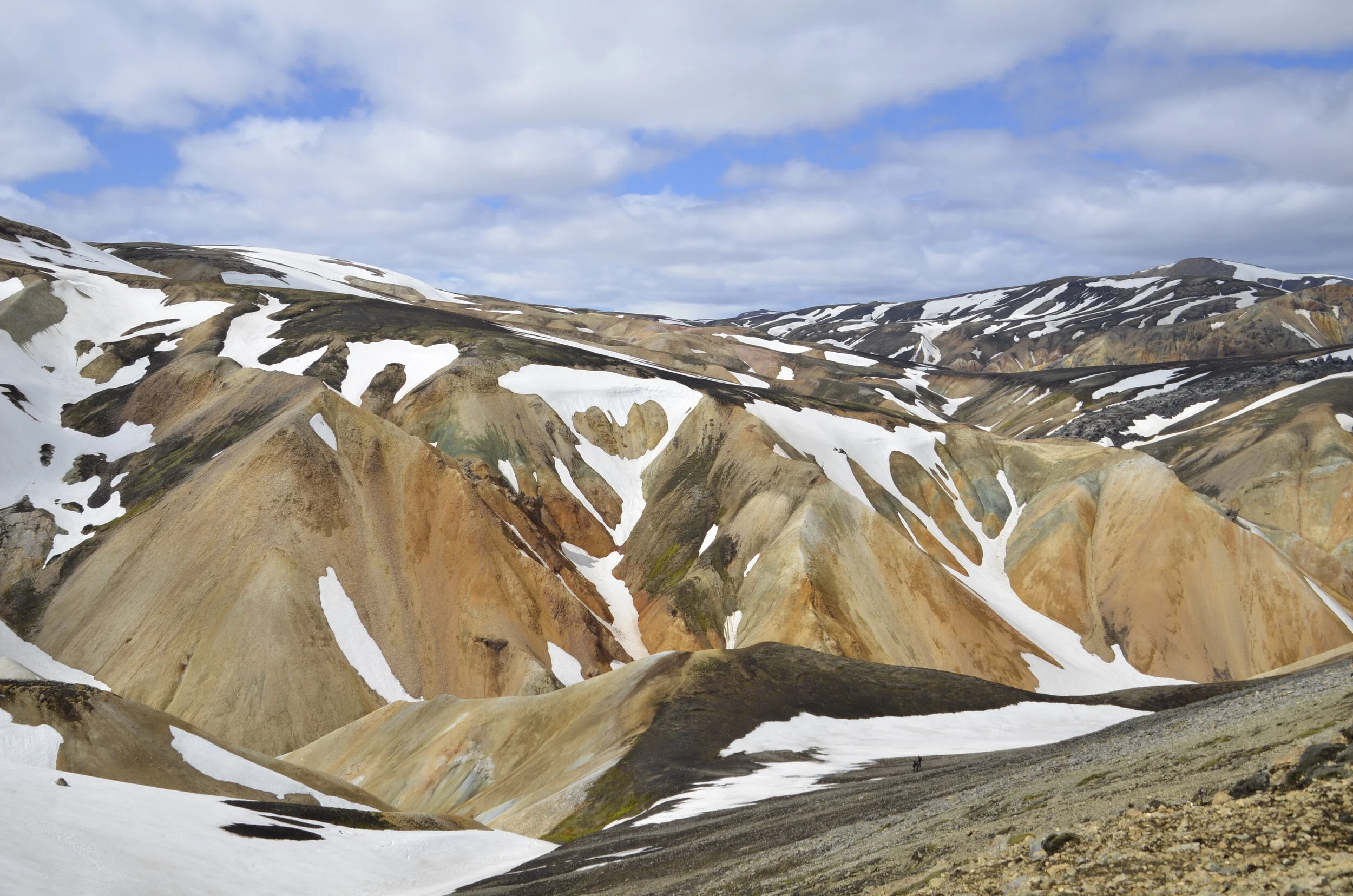
… we had to cross some snow fields…
… which proved a little challenging for Steve when his right leg postholed -
Still beautiful views…
… but then we reached the stream…
… where we had watched the group in front of us walk up and down, looking for a dry place to cross, without luck. Soooo…
I had to dry off my bright red feet (after wading across the quite frigid river) and put my socks and shoes back on to continue our hike. We were now much closer to our second peak -
The colors were just spectacular…
… when the blue sky cooperated.
Even though this second peak was lower (at about 2600 ft)…
… there were still some magnificent views and colors.
It was hard to stop taking pictures.
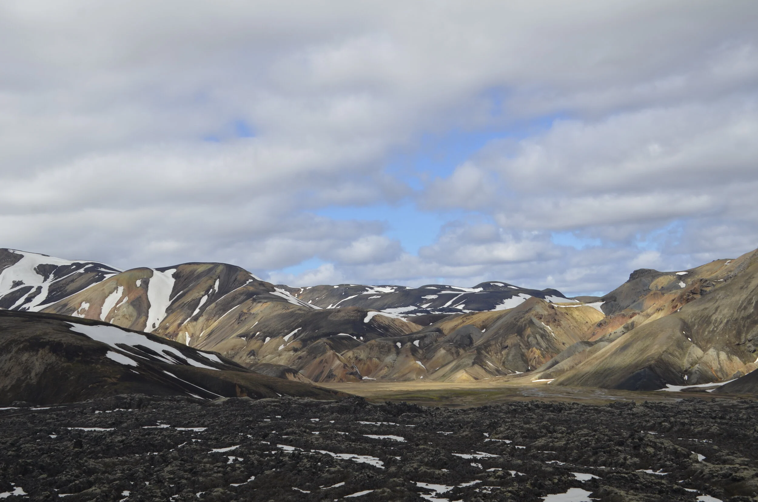
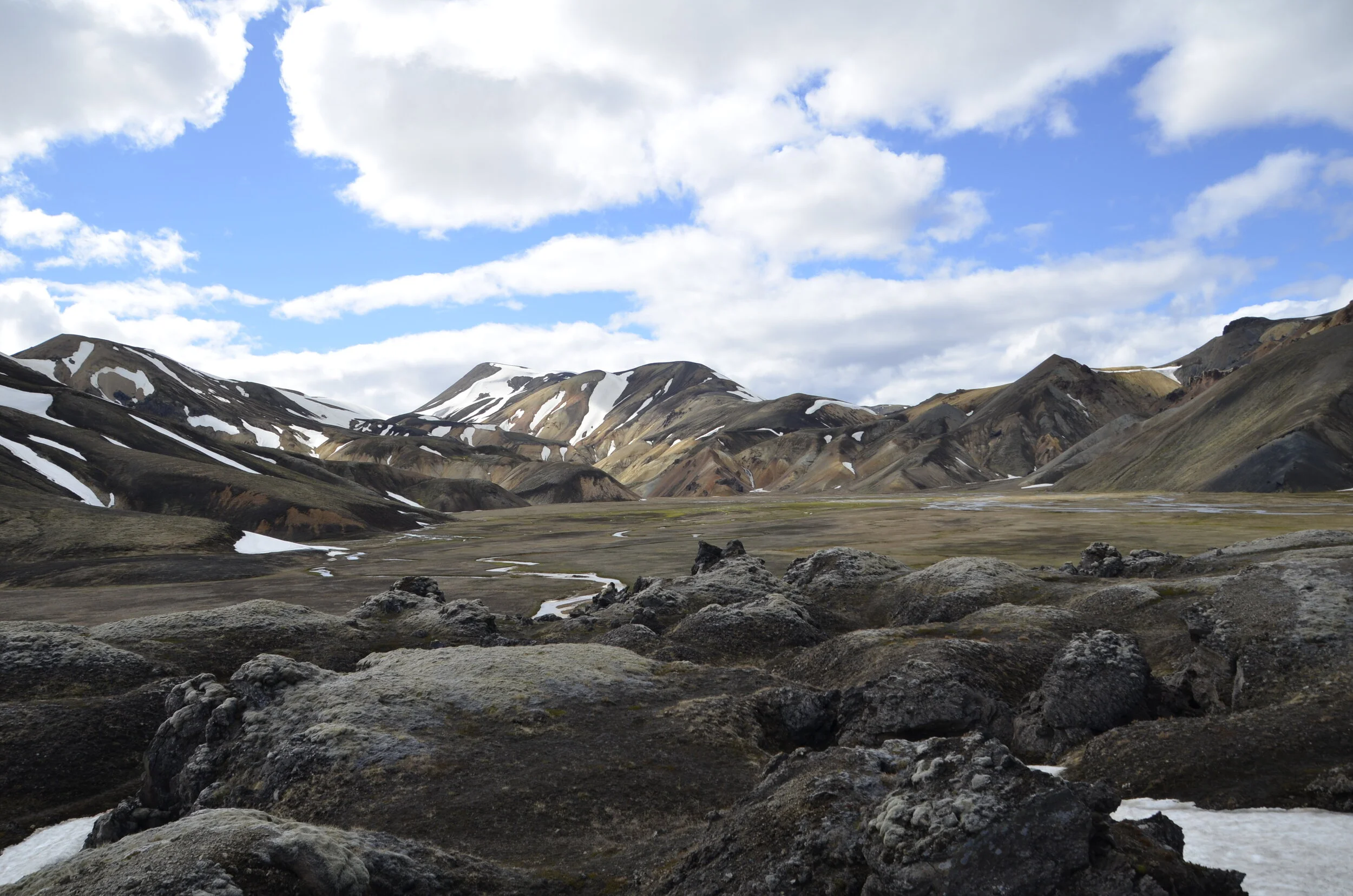
As we neared the end, we crossed this lava field, and the valley opened up before us -
As we walked back to the car, we took one last look -
Now, this being Iceland, of course there were waterfalls along our driving route “home”…
… a whole valley of them!
This little guy shows how we felt at the end of the day. :)


