West coast and North coast

At the southernmost point in P.R., on the southwest corner, is a lighthouse, and unending views of water. This is Cabo Rojo.

_DSC6051.JPG

This natural bridge had such an allure for adventuresome souls, that they literally barricaded the path through the vegetation, to stop people from walking over it.

_DSC6061.JPG

The variations of blue in contrast to the cliffs kept me snapping away…

_DSC6064.JPG

We settled in Rincon for several days…

_DSC6073.JPG

…and checked out a few beaches.

_DSC6074.JPG
_DSC6156.JPG

I enjoyed trying to capture the elusive “tube” -

_DSC6179.JPG

…like the surfers.

_DSC6229.JPG

I was so focused on capturing the wave curling over, that I didn’t realize I also got the surfers and body boarders in the wave behind -

_DSC6244.JPG

After Rincon, we headed up around the northwest corner of the island to land in Isabella for another few days.

_DSC6353.JPG

The wave action was definitely stronger up here, so we didn’t do much swimming. However, on our first afternoon, as we walked along the beach near our lodgings, I thought I saw a big splash much farther out than the breaking waves close to us. I did! I did! I did see a whale!

_DSC6295a.jpg

Sorry for the graininess, but that was shot from the beach with my 400mm lens, and then I cropped the picture even more. That was probably a better catch of a breaching humpback than I got from the boat in Tonga!

_DSC6385.JPG

Most of the coast along the north side of the island is very sharp limestone, and the ceaseless waves work their magic.

This is Jacinto’s Well -

_DSC6359 Jacinto's Well.JPG

And I liked this still of the aftermath:

_DSC6402.JPG

One day we drove into the interior of the island a ways to check out the Gozalandia Cascades.

_DSC6328.JPG

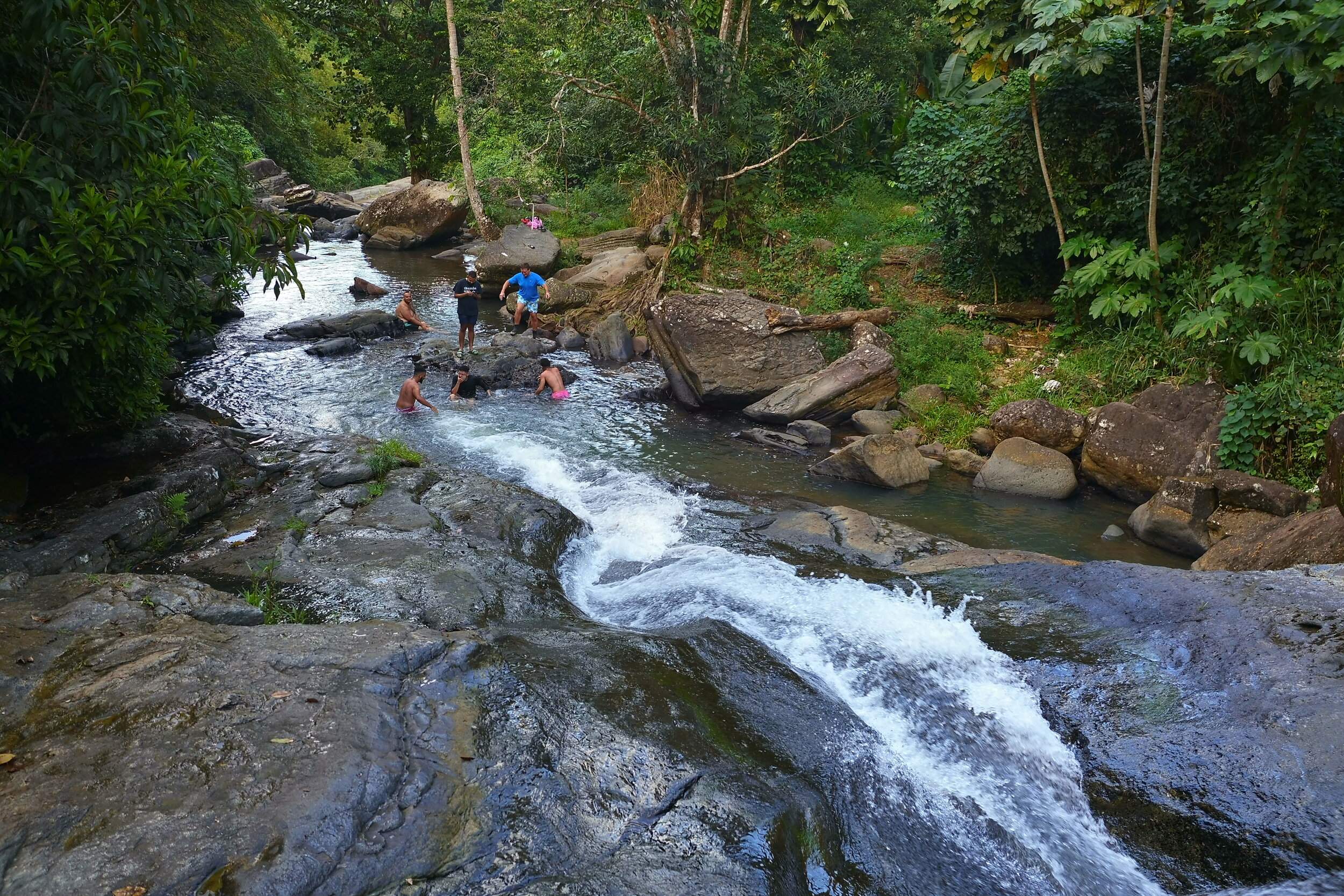
The upper fall had a small secluded pool deep enough to swim in, but you had to crawl over big rocks to get in, so I passed on this one. However, I did indulge in a very cool swim in the pool of the lower falls:

_DSC6340.JPG

Even at this stream, I caught a reflection -

_DSC6346.JPG

One evening, as we had dinner at a beachside cafe, the waves were really putting on a show -

_DSC6431.JPG

On our way back towards San Juan, we stopped at a natural attraction named Cueva del Indio (Indian Cave). Down in a cave along the coast are petroglyphs left by Taino Indians well over 500 years ago. The old wooden ladder that visitors used to descend into the cave was removed several years ago by the government, and the only way in now is scrambling down (which we deemed best suited to those a few decades younger than us!).

_DSC6471.JPG

We opted instead to walk along the jagged limestone coast to see the numerous arches and windows carved by the sea.

_DSC6480.JPG
_DSC6474a.jpg
_DSC6506.JPG

As we were leaving, this guardian of the parking lot sauntered out to say goodbye -

_DSC6513.JPG

Well, another adventure comes to a close. Our next one is in quite a bit of a different climate. Until then…

PXL_20210121_221507143.jpg

South coast P.R.

We dropped out of the central mountains to end up on the southern coast, about midway across its length, at Ponce. This city was described as elegant and cultured and a rival to San Juan “back in the day”. I was looking forward to driving through its historic central area and gazing at “hundreds” of ornate homes and buildings. Unfortunately, it was way overhyped. I don’t know if it was just bad timing because of Covid restrictions, but no fountains had water, everything was shuttered, and the whole place just looked sad. The city cathedral on the center square had been damaged in the earthquake a year ago and was still closed. It looked like no restoration was being undertaken at all. However the facade was still pretty.

_DSC5905.JPG

A very interesting building was just around the corner, also on the main square.

_DSC5906.JPG

This was Ponce’s fire station, before being turned into a museum honoring their firefighters.

Our favorite stop was actually north of town at Castillo Serralles:

_DSC5893.JPG

This 4 story Spanish style mansion was built in 1934 for a leader in the sugarcane and rum industry. The tour inside was magnificent, but no pictures were allowed.

And that was Ponce. We’ve been there, so you don’t have to.

Now, on to Guanica, just about 45 minutes west, and near the Guanica Dry Forest Reserve. We did two great hikes in the area.

_DSC5922.JPG

The “air plant” shown above - well, that’s what I always called it when I was young - is an epiphyte, and doesn’t need soil. I have always associated them with higher humidity, but they were all over the trees here in this desert like environment. (I just looked that plant up, and it’s a Ball moss.) The yuccas here grow crazy big -

_DSC5926.JPG

On our way back down the hill, we could see what we were missing behind us, as we trudged up -

_DSC5954.JPG

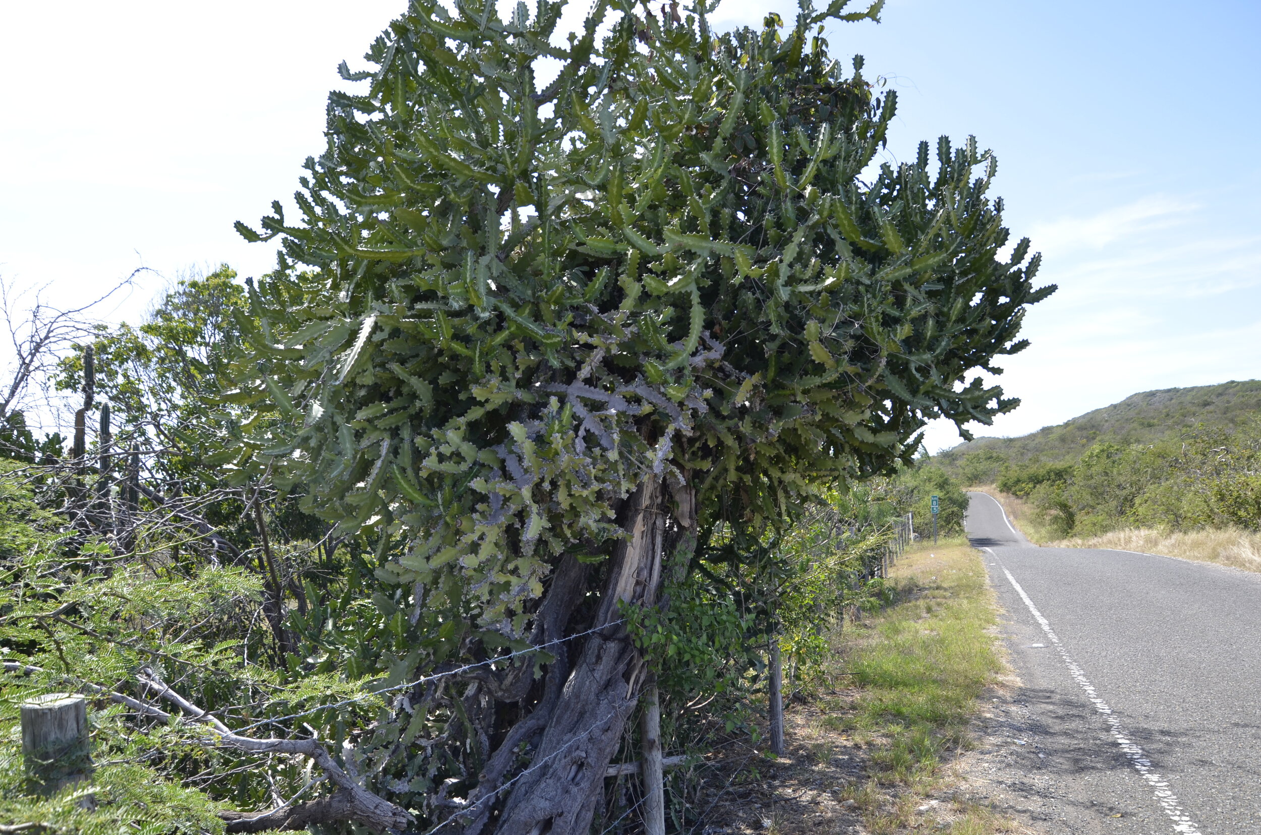
I thought this “cactus tree” was pretty unique -

_DSC5959.JPG

On our second hike in the reserve, this little guy (about 2 inches across) greeted us at the beginning, but looked a little off balance -

_DSC5965.JPG

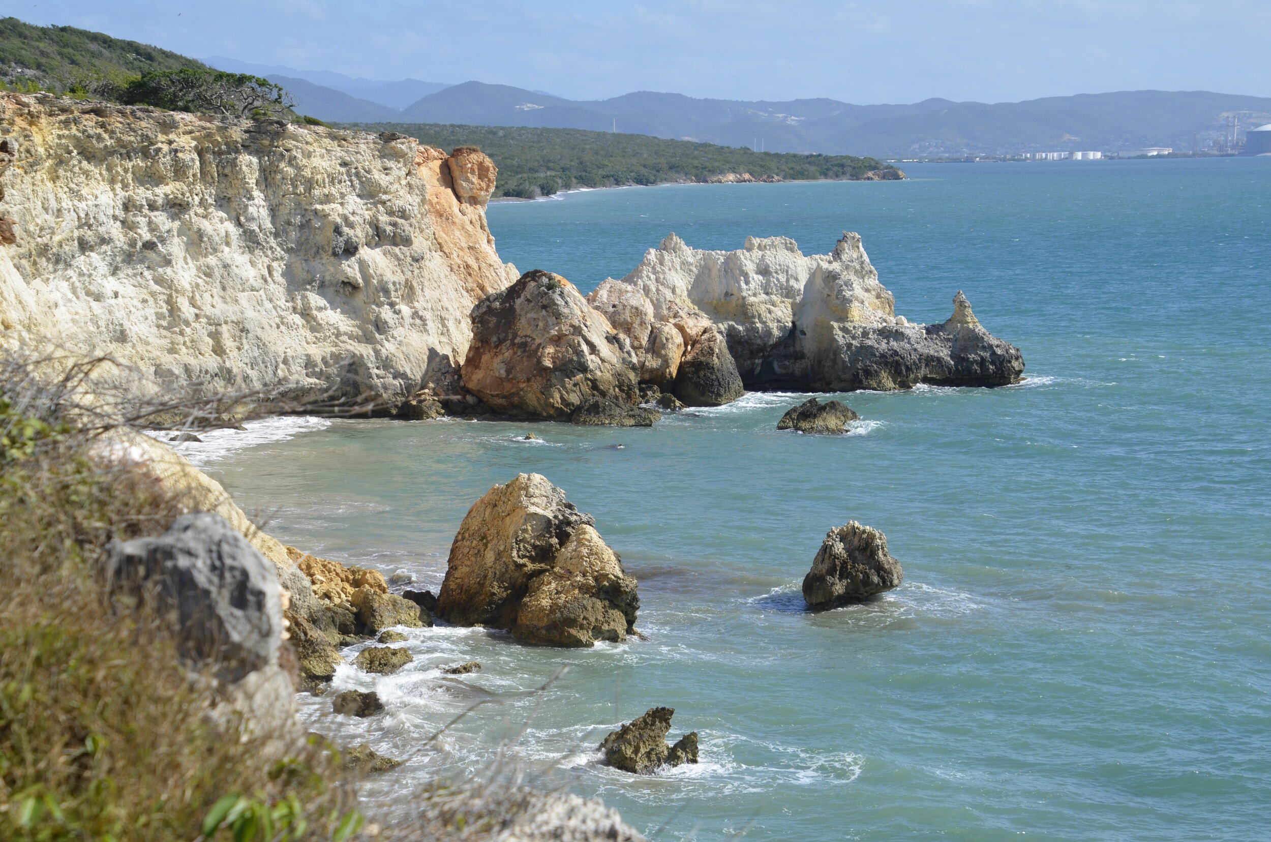
This hike was a 6.5 mile out and back trail along the coast, with gorgeous views…
_DSC5977.JPG

…and unique flora:

Spanish dildo cactus

Spanish dildo cactus

_DSC5984.JPG

We thought the fruiting bodies of the barrel cacti were quite striking:

_DSC5998.JPG

Every time we would come ‘round another point, all I could say was “wow!”

_DSC6000.JPG

Even though the hot sun was beating down, we didn’t mind walking along these cliffs for the great breezes, but we were careful not to get too close to the edge -

_DSC6030.JPG

This point sure reminded me of Bryce, in Utah:

_DSC6031.JPG

I’m not sure I’ve ever seen a “double window” before:

_DSC6038.JPG

I’ll close with the view from our dinner table that night, where we treated ourselves, after our long, dusty trek -

PXL_20210119_222625675.jpg

Central Puerto Rico

I had been reading in my Puerto Rico guide book about Ruta Panoramica, and it sounded like it was right up our alley - a scenic drive on back roads across the length of the island. In the book, it was described as well maintained and well marked. Well… even though this was a very recent edition of the book, I don’t think the author had driven or ridden along the route herself in the last several years. We were dismayed, horrified and awestruck in equal measures.

_DSC5833.JPG

That was indicative of the vistas I could see, but not Steve. He was white-knuckling it for over 2 hours around hairpin turns, dodging broken pavement and potholes, as well as oncoming cars and trucks that acted like they owned the center of the road. The angles of incline of the road were just amazing. There were numerous tracks of at least 45 degrees. If we were going up, both of us would lean forward at the crest trying to see where the road went before the car kept rolling forward. Unfortunately, there’s no way I could document this roller coaster ride. Hopefully, you can ride along with my words.

_DSC5829.JPG

The central mountains are very lush, and that above is a “flame tree”, with banana plants in front of it. At one point, I asked Steve to stop so I could get a close up picture of the flowers.

_DSC5843.JPG

As I got out of the car, he rolled forward, ostensibly to get somewhat off the road, not realizing there was at least a foot drop off at the edge of the pavement. The right front wheel was spinning freely in space, while the front bumper hung on the asphalt. He had me get behind the wheel, and before I knew what he was doing, the car was rolling forward, even though it was in park! As I stomped on the brake, he explained that he had lifted the front end, dislodging the frame from the edge of the road, allowing us to move it to a place where all 4 wheels had traction. Whew. That picture above will be seared into our memories of a very close call on a twisty road in the middle of Puerto Rico.

_DSC5818.JPG

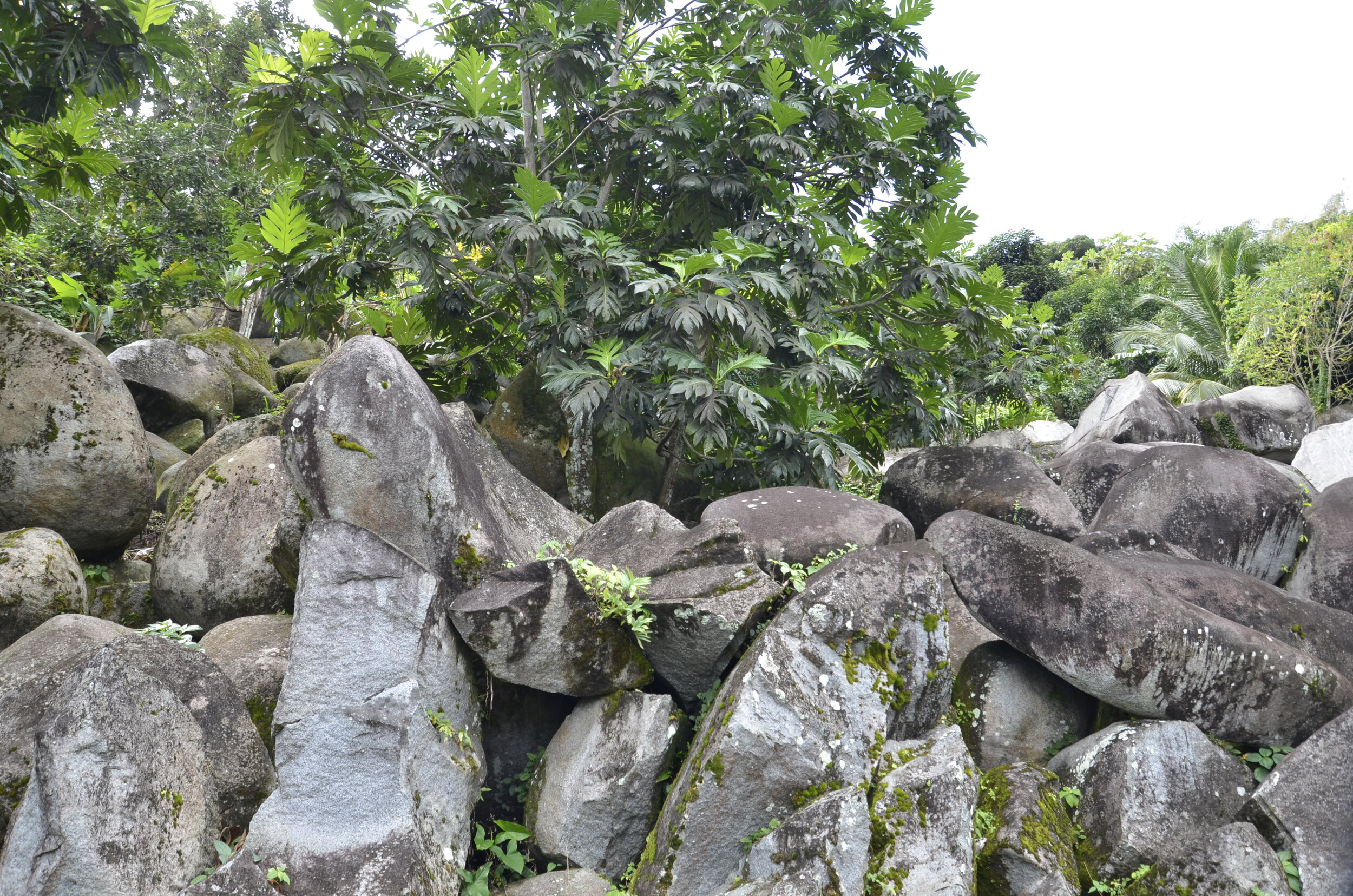
Alongside the road there would be random groups of, or single, granite boulders.

In the overgrown areas, there were bamboo, fern trees, palms, banana plants, flame trees, hibiscus, elephant ears and numerous unnamed plants, that I was marveling at, while Steve studied the asphalt -

_DSC5836.JPG

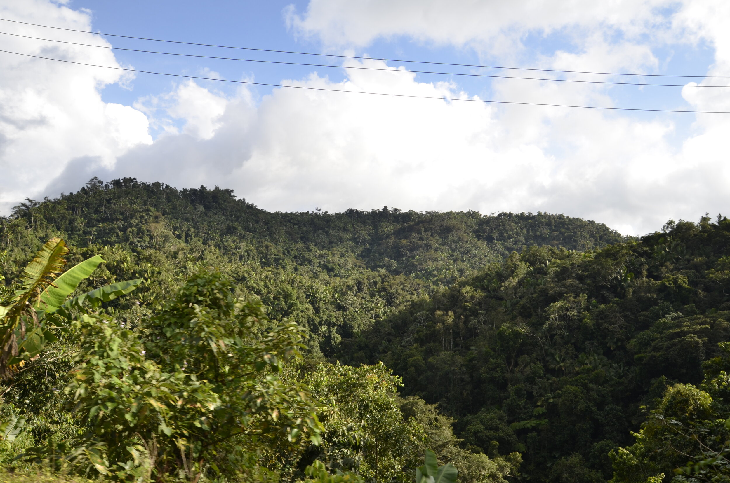
The lushness covering the rolling hills was amazing -

_DSC5850.JPG

In the small town of Jayuya, we stayed at a hotel that was first built as a mansion in 1858.

_DSC5881.JPG

Hacienda Gripinas

_DSC5889.JPG

I wanted to visit a nearby coffee plantation, so off we headed up some more very narrow, curvy and steep roads. At the top we were greeted by a locked gate, after climbing a steep one lane road. There was no place to turn around nor back safely down to, so we proceeded to complete not a 3-point turn, but rather a 12 or 14-point one. Aarrggh! After arriving safely back at the hotel, we spent the afternoon reading and swimming.

I was able to get some beautiful pictures of our surroundings on our ill fated trek -

_DSC5875.JPG

Before I close, I want to share some beach pictures (you can never have too many, can you?) from our explorations on the east coast, before we headed to the highlands.

Playa Colora (reached by a mile walk from the end of Seven Seas beach in Fajardo) -

_DSC5803.JPG

Unnamed beach on the SE corner -

_DSC5813.JPG

I’ll be keeping my eye on you…

_DSC5812.JPG

El Yunque

This is the only tropical rainforest in the US National Forest system. Due to limitations imposed by the pandemic, as well as trails not open yet after Hurricane Maria in 2017, there was little choice for us as to what to do during our visit. Thus, we just HAD to hike up to the top of El Yunque.

In this picture, there are my favorite fern trees in the foreground, and in the distance you can see the Atlantic off the NE coast of the island. The high rises on the coast were near where we stayed in Luquillo.

_DSC5710.JPG

I hadn’t initially planned on hiking the El Yunque Trail because I assumed it would be rated strenuous and/or be too long for these aging legs. I was happily surprised to find that on AllTrails (the hiking app I’ve used all over the world to find good trails and recent reviews of conditions) it was rated as moderate and was “only” about 5 miles long. All right then - up we go!

_DSC5727.JPG

I took lots of pictures of plants and flowers, but I’ll try not to bore you too much…

I loved the new pink fern leaves in this grouping:

_DSC5726.JPG

This flower (name unknown) was all over at lower elevations and really showed the moistness all around -

_DSC5732.JPG

We started hiking about 9 am, and skies were initially clear. As we climbed higher, we became one with the clouds -

_DSC5744.JPG

I’m not sure if you can tell from the picture above, but the grade of the trail really wasn’t that steep, it just kept going up and up and up…

This was a really neat large fern frond as it was just starting to unfurl -

_DSC5738.JPG

Amazingly, there weren’t nearly as many waterfalls or even seeps as I would have guessed, given how much rain this area gets (240 inches a year!). We did find this cute little one tucked into a hillside -

_DSC5749.jpg

This was the observation tower at the top of the peak (3380 ft altitude)…

_DSC5754.JPG

…and this is what we could see from there -

_DSC5755.JPG

We were pretty sure that there were some magnificent views hidden there, but alas, the clouds were thwarting us. As we started back down, we caught glimpses of brighter light ahead, and then yes, even some sun! Ahhh… so that’s what we had been missing -

_DSC5770.JPG

Luckily, there was a side trail that cam out to a ridge about 500 feet lower than the peak, that gifted us with some jaw dropping views -

_DSC5774.JPG

So our way back down was definitely much brighter (and was how our entire hike was supposed to be!).

_DSC5780.JPG

Steve has a tracker on his phone that keeps track of all our stats for a hike. We walked a total of 5.3 miles and took 4 hrs and 20 minutes to do so, gaining 2600 ft up and down throughout. This was a snail’s pace for us, but it was a very enjoyable day.

_DSC5787.JPG

I believe I have a thing for furled ferns.

Sun & fun

Yep, we’re still in Puerto Rico, and will be for a total of 3 weeks. And we’re VERY happy that we’re still considered as being in the US. See, when we return, it’ll be a domestic flight, and we don’t have to try and figure out where to get a rapid COVID test here, which the CDC will be mandating for international arrivals as of 2 days before we get back.

So we’re now in the NE corner of the island, specifically in the towns of Luquillo and Fajardo. There’s so much to see, do and eat here!

We started with Luquillo Beach. We arrived just after they opened the parking lot at 0900, and staked out our place in the shade. This beach is a mile long -

_DSC5641.JPG

…and you can probably see the white buoys out in the water, delineating the swimming area (i.e. keeping the jet skis away from us). I’m not usually one for swimming (I’d rather snorkel or dive), but this beach was just too perfect to pass up the opportunity. I truly have never seen finer sand, more gentle slope, lack of any rocks/coral to step on, or gentler waves than on this beach.

The picture above was our view to our left, and to our right:

_DSC5646.JPG

Those brownish piles on the sand are not stinky seaweed, but soft pine needles. Not so soft were the little pine cones under the trees.

We walked up the beach to our right, and around the point was another long stretch of deserted beach.

_DSC5653.JPG

As we turned back to walk to the main part of the beach, we’re greeted with a view that I can only call “quintessential tropical beach”.

_DSC5658.JPG

I really liked the colorful beach umbrellas and lifeguard’s surfboard -

_DSC5662.JPG

The shaved ice vendor’s constantly ringing bell was interesting…

_DSC5673.JPG

The next day our activity was first to find, then dare to try, a natural waterslide. I had read about this on a website called puertoricodaytrips.com. That site has provided me many different ideas and plans (that Steve’s not so sure about sometimes). Anyway, after stopping at an anonymous house with an old man and his younger companion out on the front porch, talking to a group of young men in bathing trunks and with towels over their shoulders, we felt we were at the right place. They wanted $5 “for parking”, even though we had parked on the side of the road and walked up the hill to them. We were then shown the trail down a steep muddy hillside and given instructions in Spanish, with recognizable hand signals…and off we went! (We had read a decent description of the site from that website, so felt comfortable proceeding.)

DSCI4410.JPG

As we came to the river, we could see this small waterfall, but from pictures I had seen, I thought we were supposed to head upstream. Luckily there was a couple cooling off in the pool at the bottom of the slide, but they apparently hadn’t attempted the slide. At first, they directed us up another trail, and in Spanglish, we figured that this was the approach to the top of the slide. We climbed the hill only to find the trail leading to someone’s backyard and carport. So back down we climbed, to find the young men we had seen on the road, enjoying the slide. They showed us how to climb up the side of the rocks, and where to sit to start the fun.

our guides

our guides

the slide

the slide

View from the top:

DSCI4414.JPG

And away we go! (there’s no sound on these)

Well, I felt like 20-something at the top of the slide, but post slide with numerous bruises has me feeling a bit older. ;-)

While we’re sharing videos, I’ll close with this audio only clip. This is the sound of Coqui frogs that are everywhere on the island, and we fall asleep to their music every night. All this sound comes from a frog no bigger than your thumbnail. I hope to get a picture of one before we leave…

San Juan, Puerto Rico

Because I don’t like cold, grey winter weather, we have headed south each January since we retired. However, this year travel was a little more difficult…you know…that pandemic thing…

Anyway, with Puerto Rico as a “part” of the US, travel there was relatively easy, and the island is big and varied enough to spend a few weeks soaking up sun, sand and saltwater.

On our first evening on the island, we caught the golden hour while walking along La Muralla (the wall) that was built 400 years ago to protect San Juan.

_DSC5592.JPG

The red gate in the picture below is the only remaining opening through the wall (out of 5 originally) along its 3 mile length.

_DSC5595.JPG

The white castle looking structure in the back is the Governor’s residence.

Here’s another “golden” view:

_DSC5606.JPG

The greenery at the base is a shrub, ”beach bean”, that provides shelter for HUNDREDS of cats. As we rounded one corner we were assailed by the extremely strong and noxious wafting of cat urine and excrement. But they’re so cute…

_DSC5601.JPG

La Garita, the sentry box, in the picture above the cats, has become the symbol of San Juan.

_DSC5615.JPG

They jut out of the wall in several places, and have narrow walkways to them sometimes, and narrow windows.

PXL_20210108_192110598.jpg

The thickness of the wall is just amazing. In some places it’s 45 feet thick! This next picture was taken from the grounds of El Morro, a fort built almost 500 years ago, to protect San Juan and its harbor. Unfortunately both forts in San Juan were closed due to the pandemic. You can see how thick the wall is, near the bottom right, as well as appreciate the wild Atlantic coast stretching away.

_DSC5633.JPG

As we walked through Old San Juan, we really enjoyed all the brightly painted buildings with bright white trim.

_DSC5639.JPG

I’ll have more later. For now, adios amigos!

PXL_20210108_191912174.MP.jpg
PXL_20210109_021023943.NIGHT.jpg