Virginia
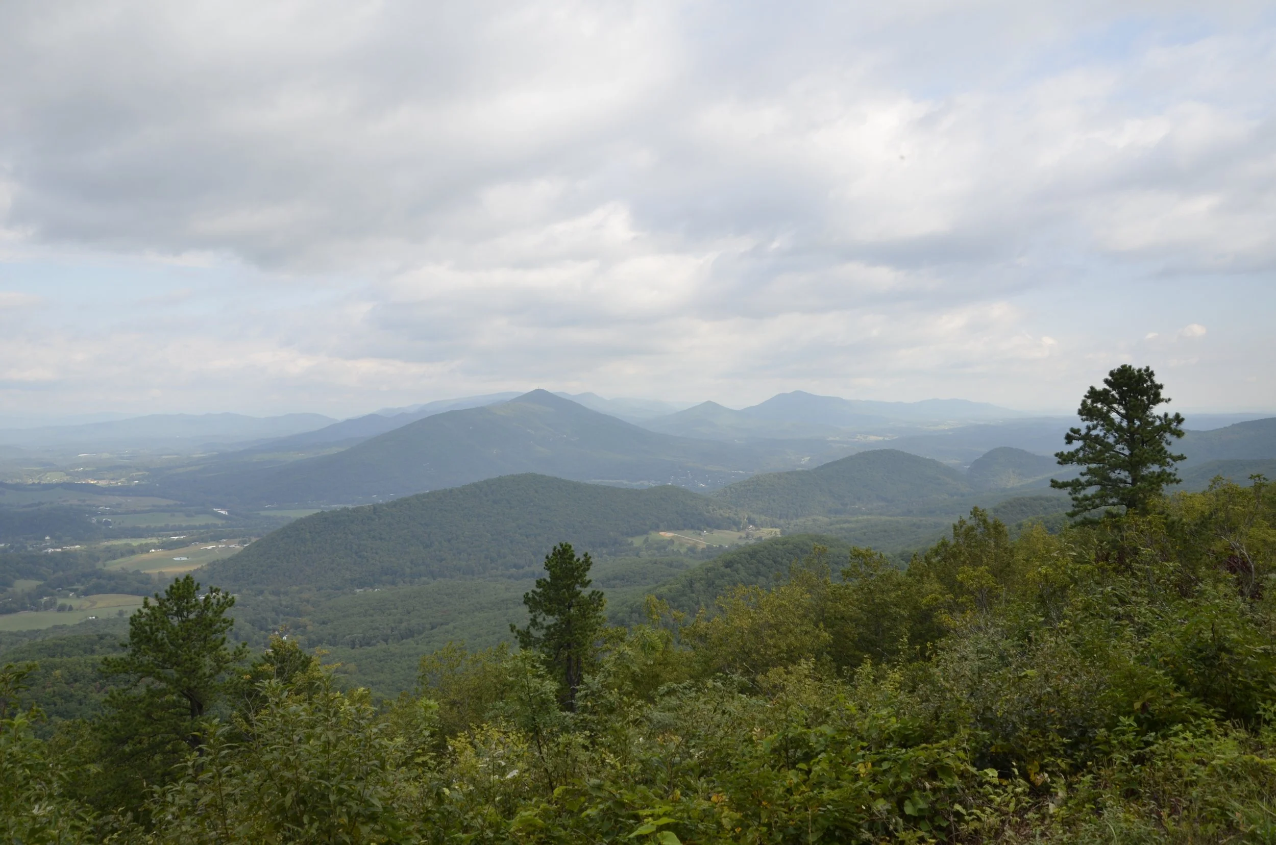
As we continued driving north on the Blue Ridge Parkway and further into VA, there were more cultivated or cleared areas…
… and the clouds were getting heavier (just as we were arriving at our next hike - of course)
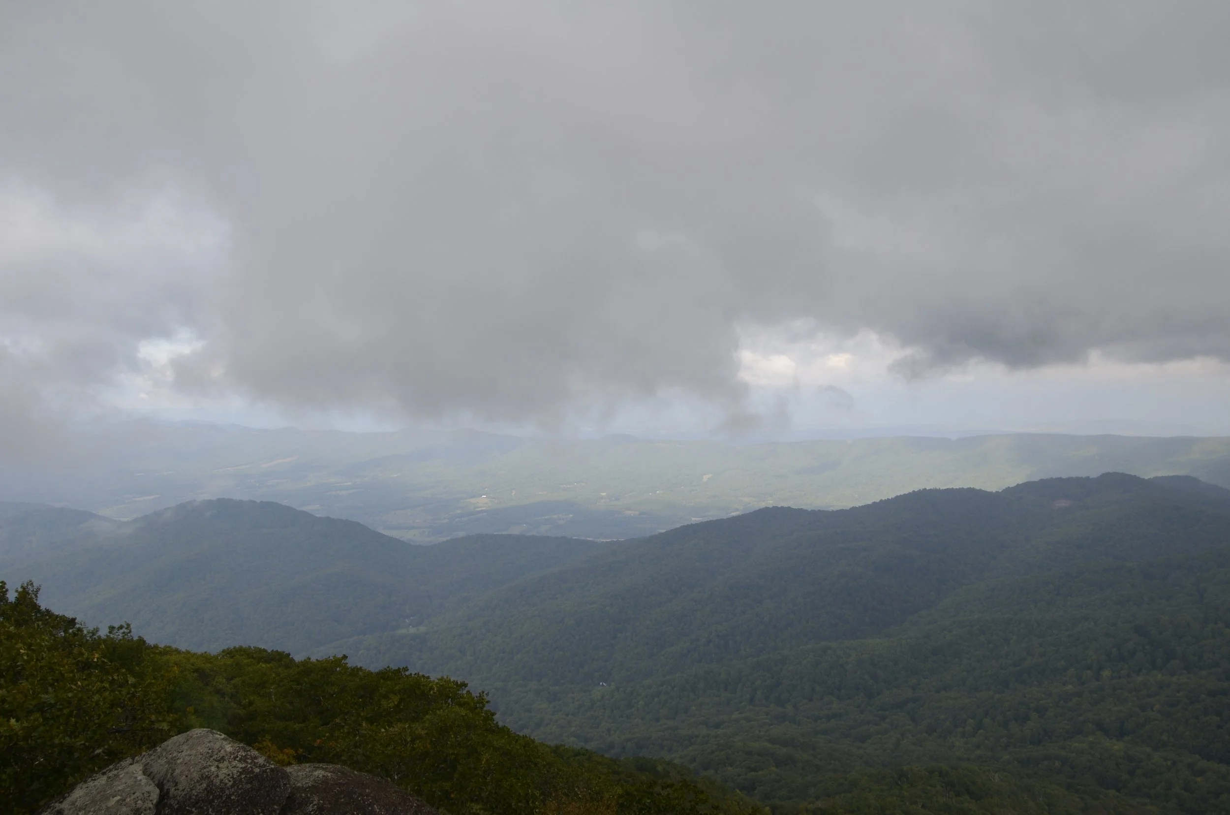
We went ahead and started climbing Sharp Top Mountain, getting rained on (gently), and arriving at the top just as the rain clouds pushed on…
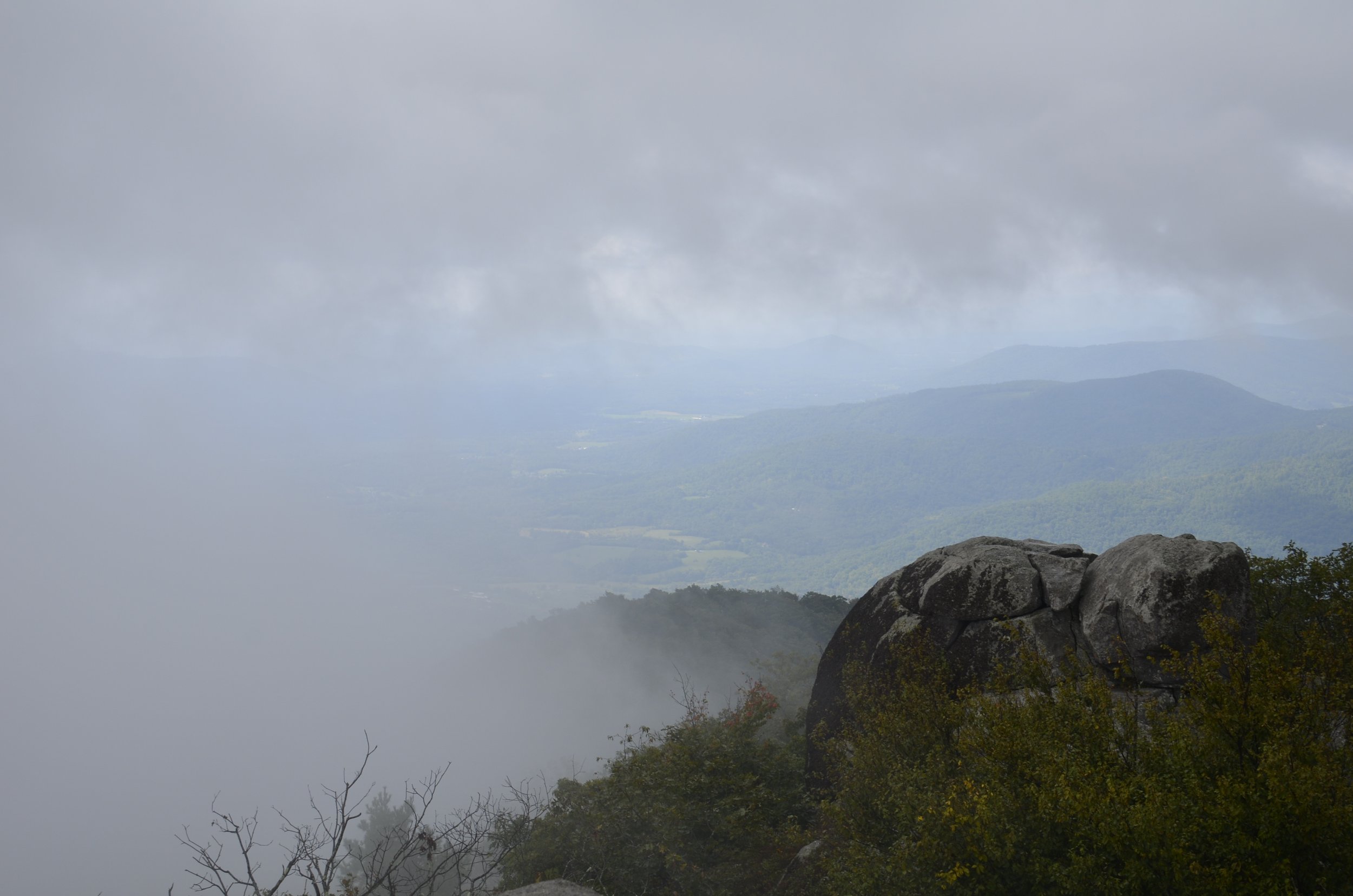
… but only on one side of the mountain -
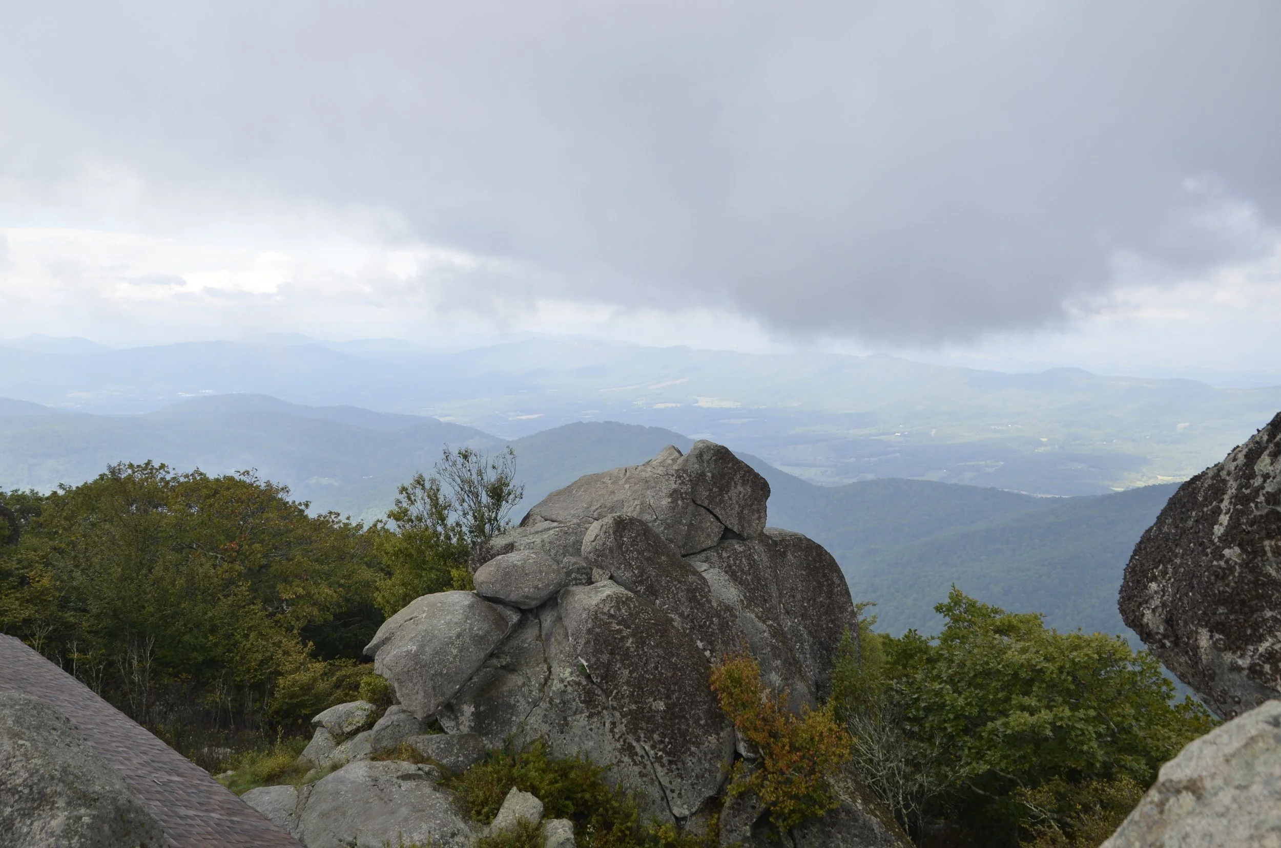
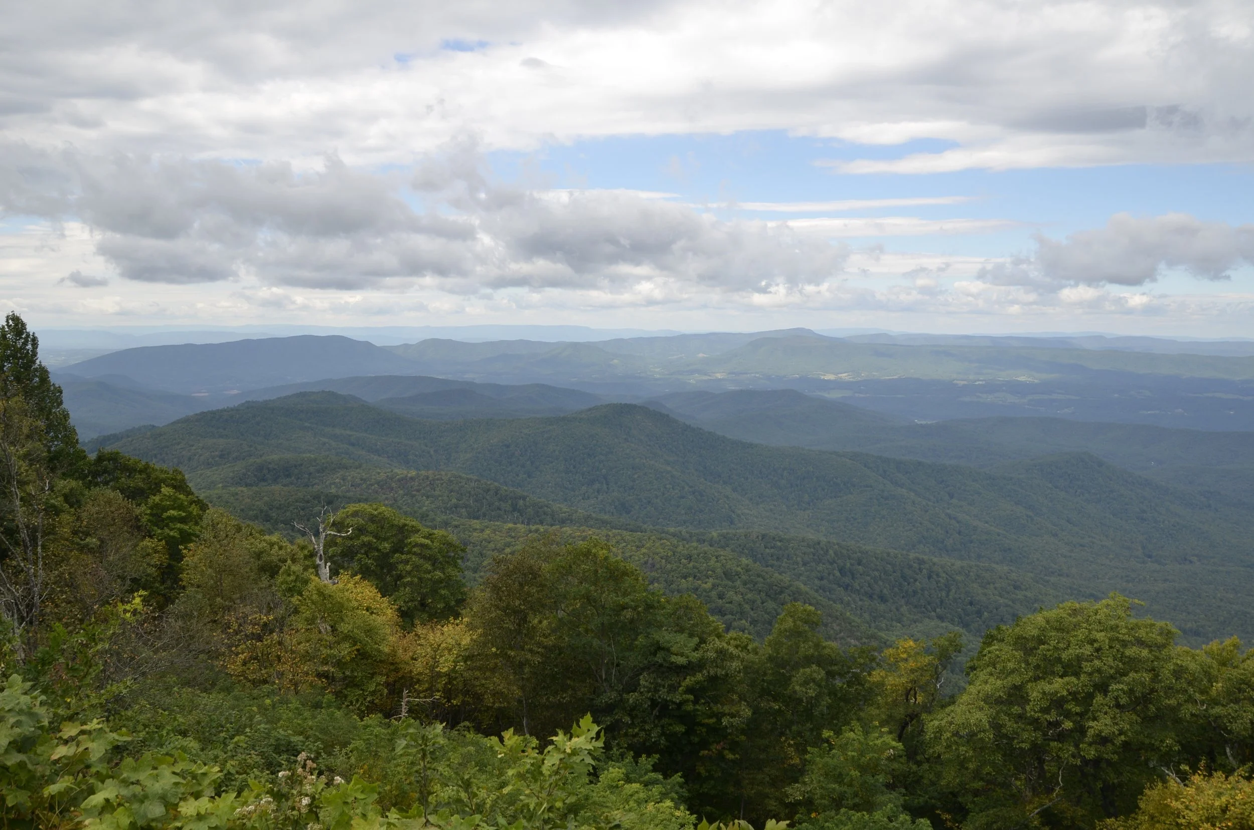
Continued clearing…
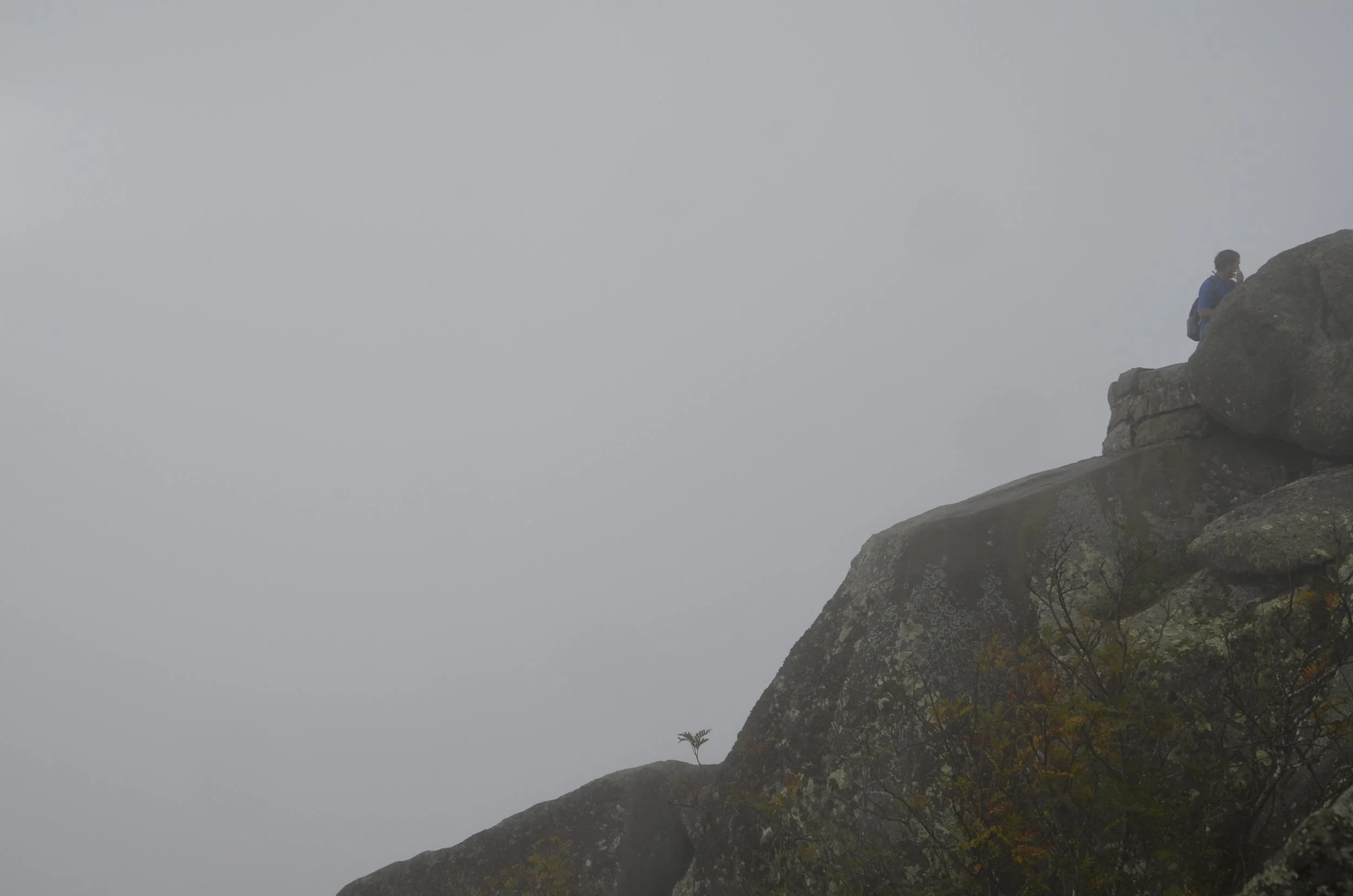
… while the lee side had clouds continuing to swirl up the side of the mountain in circular eddies -
This is what we climbed past on our way to and from the peak (3 1/2 miles round trip with over 1200 ft of elevation gain) -
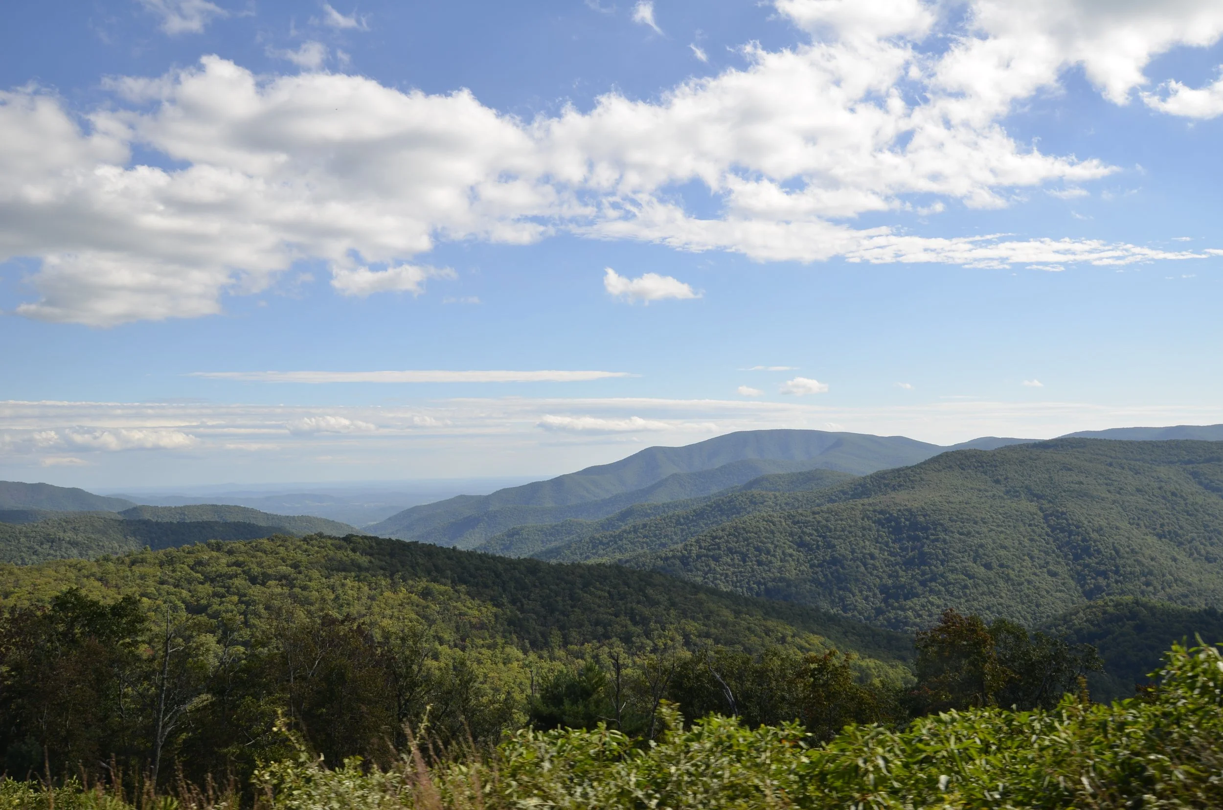
The multiple low rolling hills were neat…
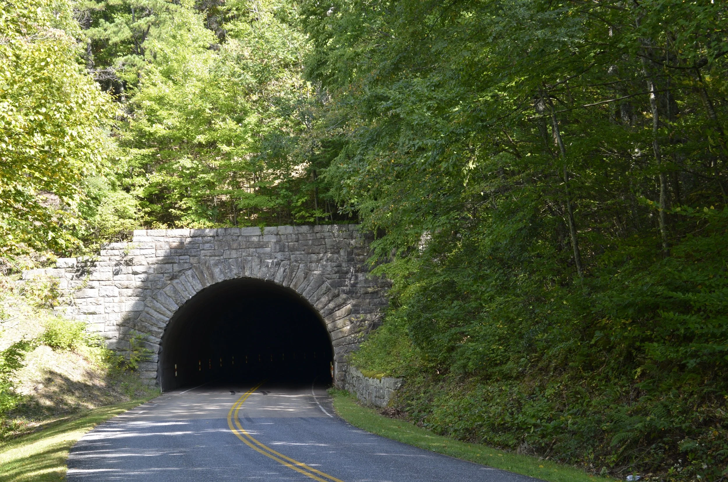
… as was the stone work at tunnels and overpasses -
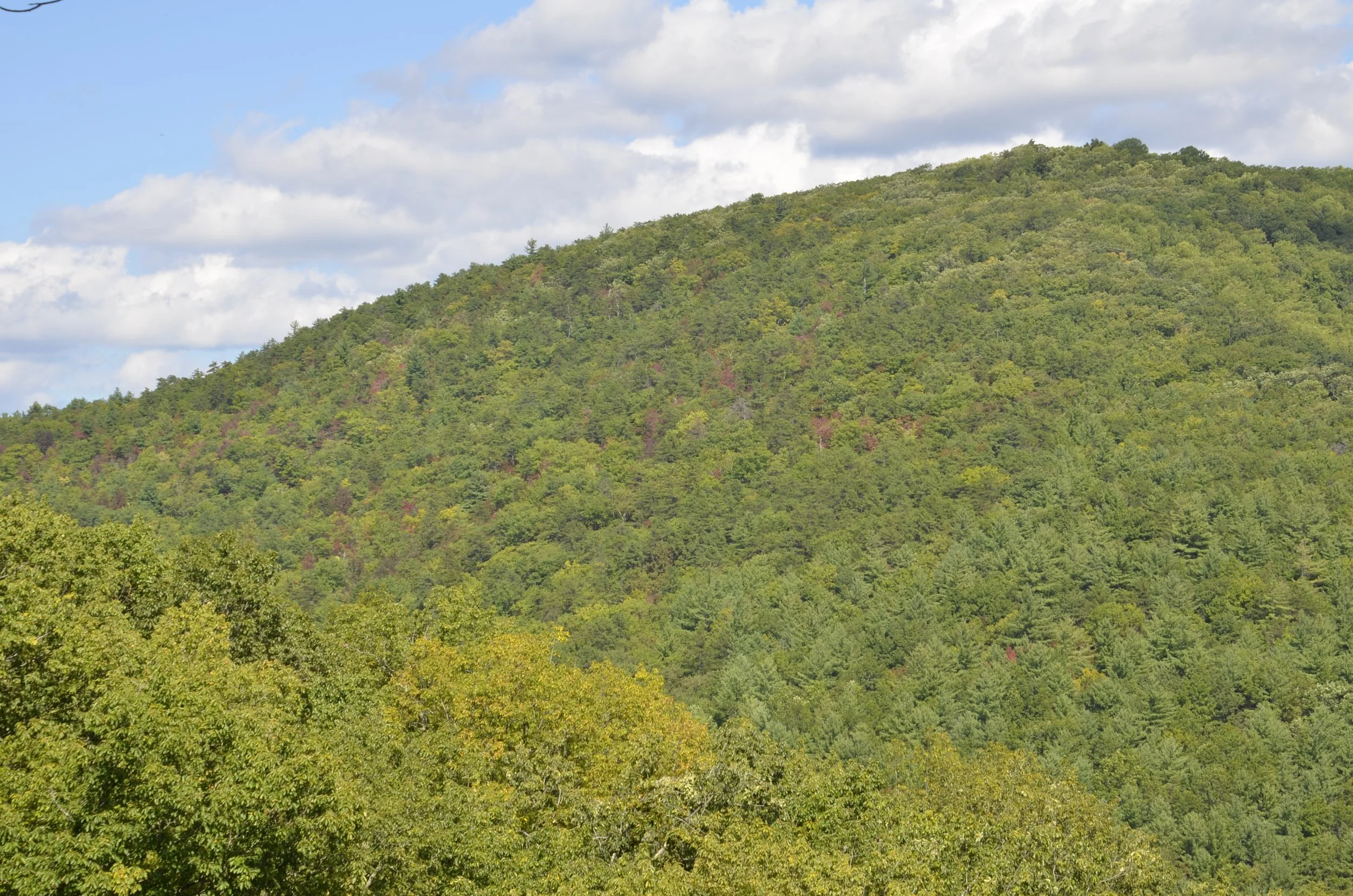
We got really excited by the first fall colors we saw (it was late Sept. after all) -
As we neared the end of the Blue Ridge Parkway…
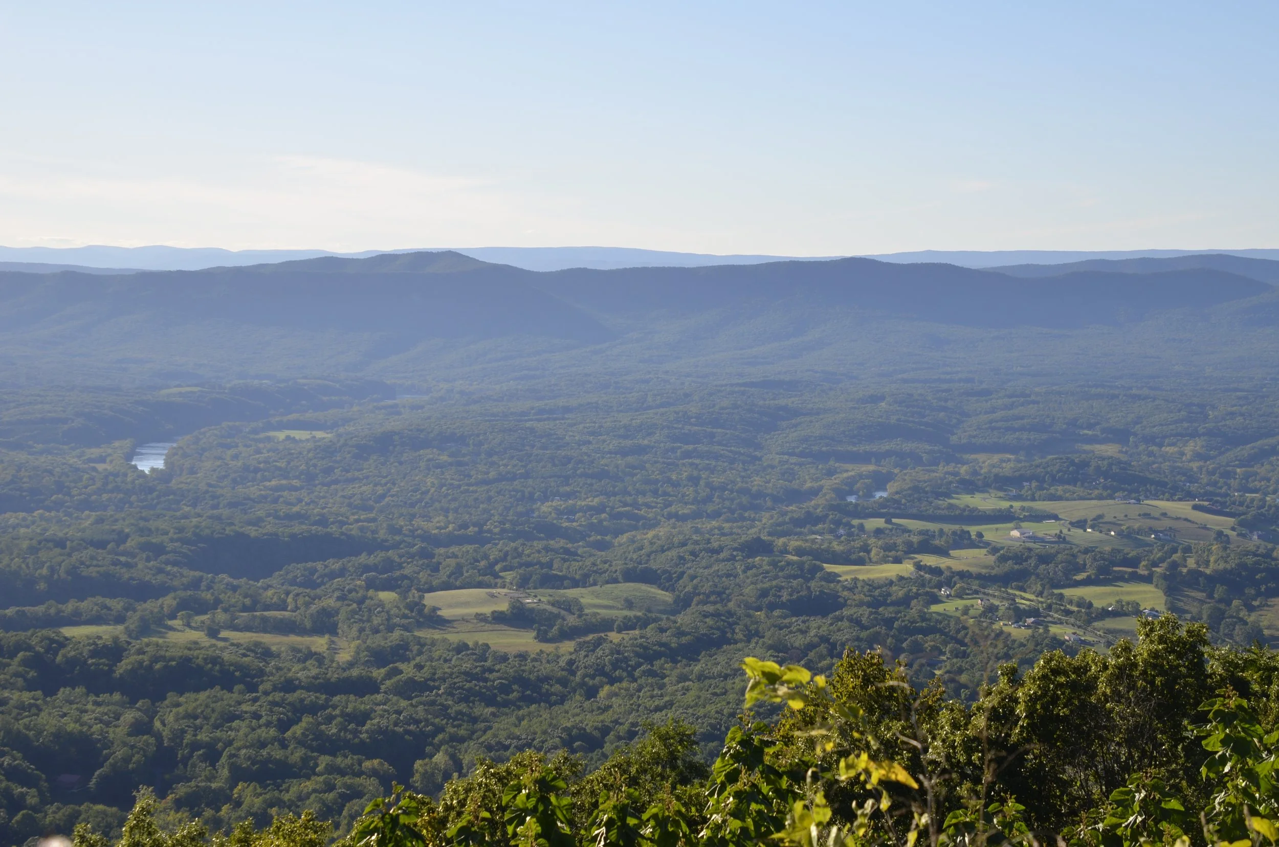
… we were seeing the southern end of the Shenandoah Valley -
Skyline Drive in the Shenandoah National Park begins at the point where the Blue Ridge Parkway ends. Nicely, we weren’t finished with rolling hills yet -
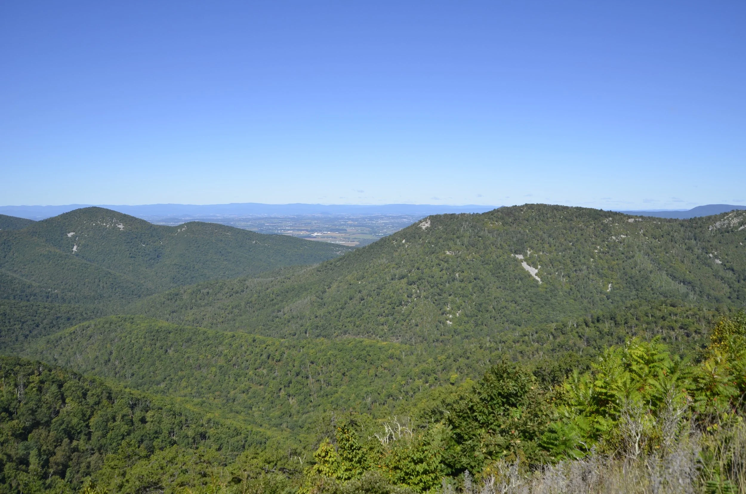
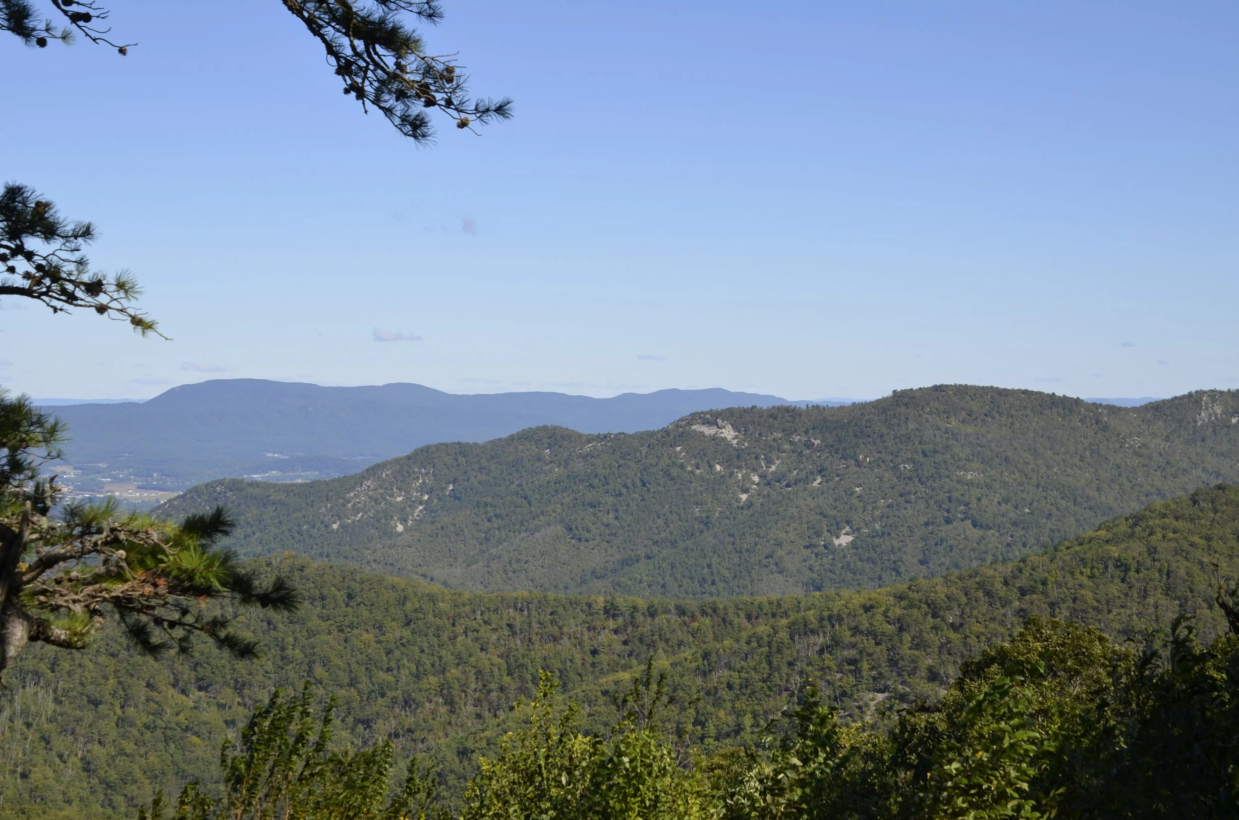
An interesting feature was the “rock rivers” on some hills…
An informational sign at one of the overlooks said as the rocks break down due to exposure to elements, they slowly travel downhill, creating “rivers” of rock. This area was called Rocky Top (all you Tennesseans would recognize that term!) -
We hiked a large loop trail that let us visit two waterfalls, and meander along a babbling stream. First was Dark Hollow Falls…
… and then Rose River Falls -
By now, you’ve gotten to know my love of reflections…
… so I’ll share these…
… before ending this tour of the Shenandoah Valley, with its namesake river -

