Ring of Kerry
This is a very popular drive, owing to all the beautiful sights and coastal roads.
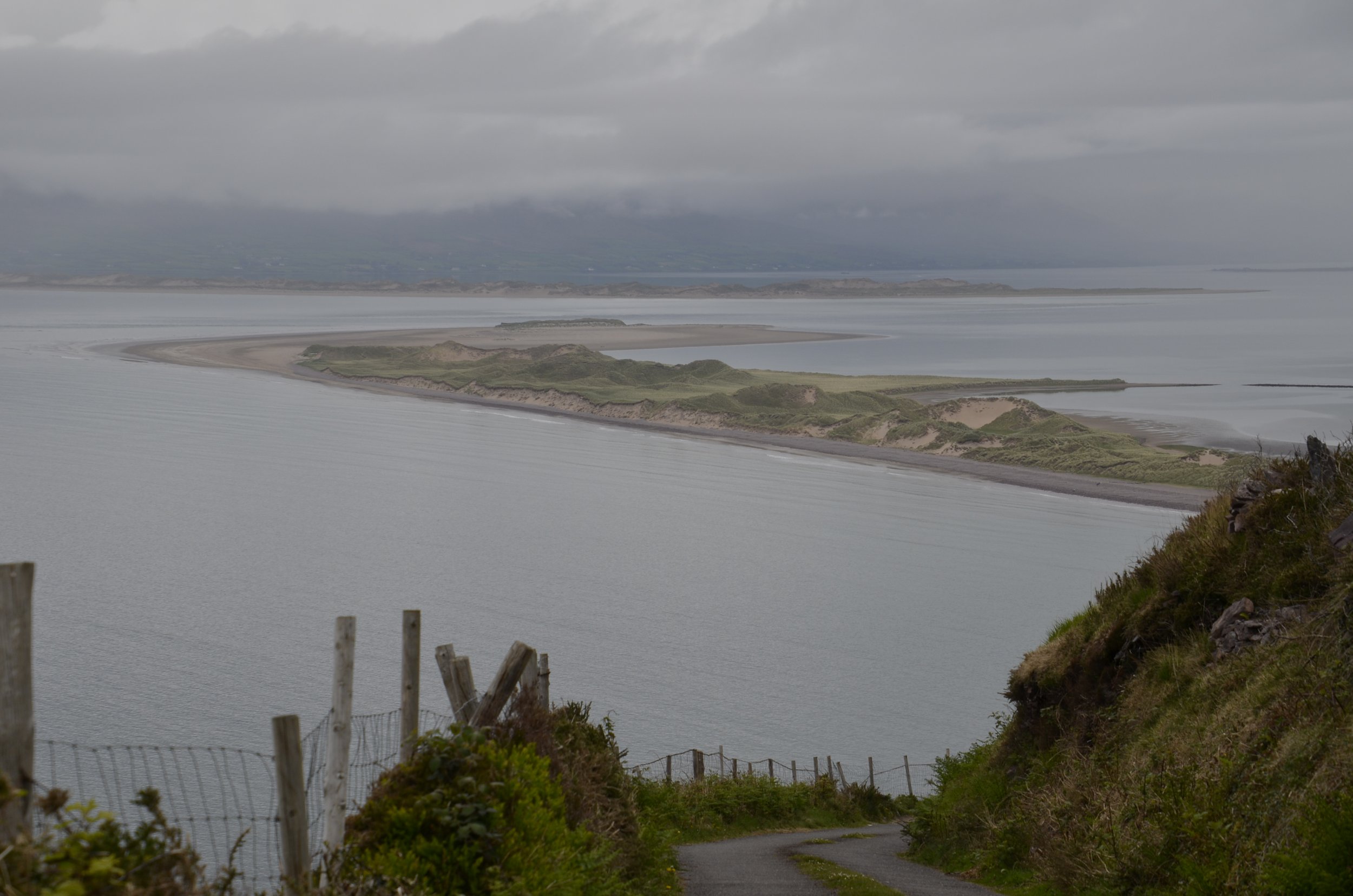
This first place we stopped, Rossleigh Beach wasn’t too impressive…
… until we got up the road above it, and saw how extensive it was.
It sure wasn’t the prettiest day for sightseeing, but it’s Ireland after all. Ahhh, now here’s the Irish green we like -
… and some more -
The brooding look of Ballycarberry Castle fit the day well -
There were two stone circle forts nearby. Cathergall was the largest and best preserved. (The walls are laid in what’s called a dry stone method, i.e. without mortar.)
As you can see, there are steps within to reach the upper levels…
… and a round house in the middle. This fort is thought to be about 1,000 yrs old and was probably a farmstead of somebody important. The other stone fort had lower walls, but a nice view of the castle, and both a round and square house in it -
Heading to the southwest coast of the county, we reached the Kerry Cliffs.
They are not as well known as the Cliffs of Moher, which are one peninsula north, but at 1.000 ft high, they’re pretty dramatic -
Another cool ruin, on a nice beach, was Ballenskellig -
As we continued to drive around the Kerry peninsula, we’d marvel at all the stone walls. After I put the next picture on my computer, I noticed that I had captured a stone fort that just happens to be in the middle of somebody’s field.
It was also very interesting to see all the little offshore islands dotted around -
One last stone fort we visited, Staigue, had walls up to 20 feet high…
… and an awesome stone lintel -
Our last “sight” of the day was Ballaghbeama Gap…
… with the requisite stone wall -
Again, this is a two-way road, plus you have to watch out for sheep!
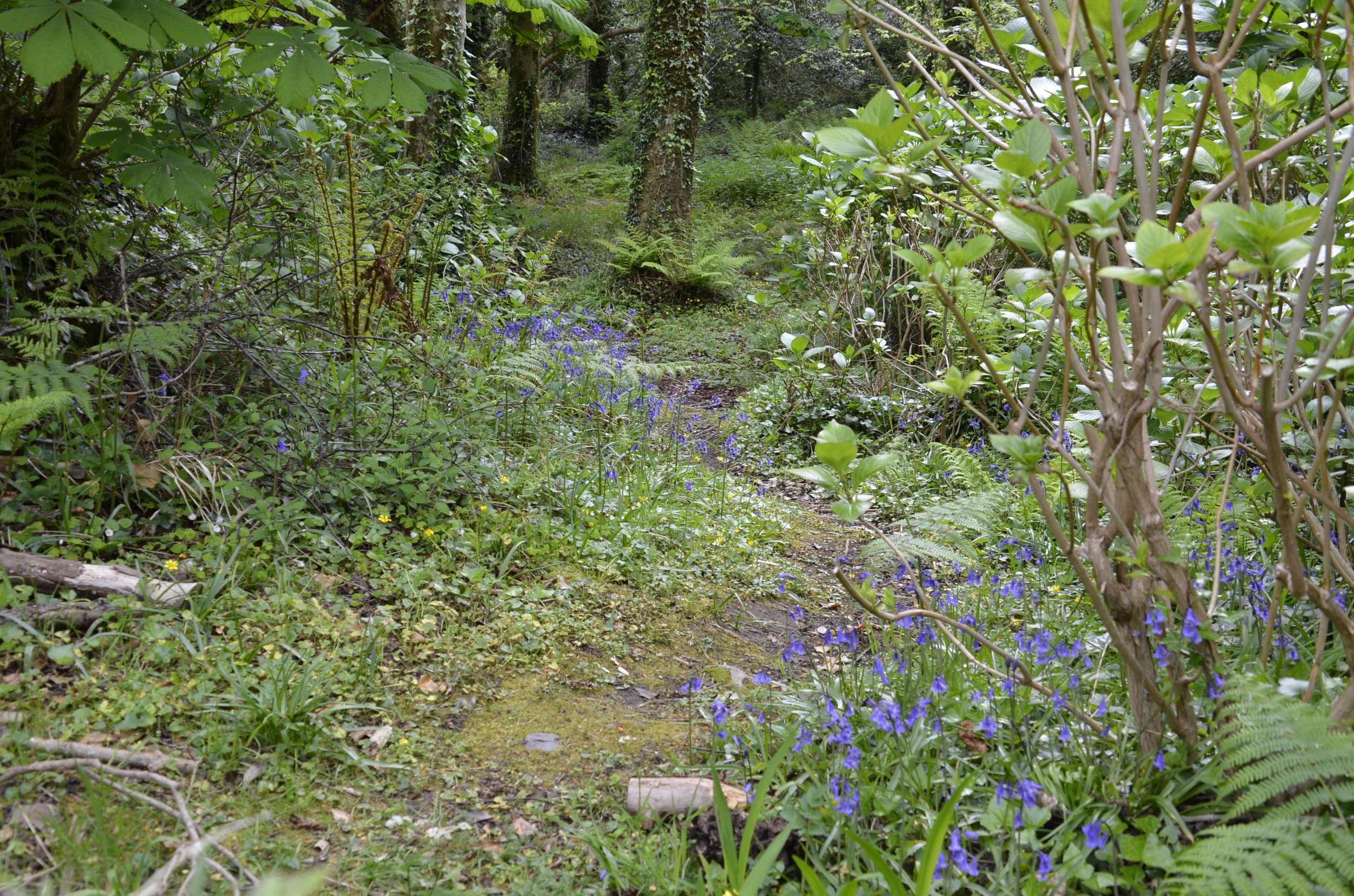
This was a special little spot during our travels today that made me smile -
Bluebells in Ireland mean spring.
Until next time…


