Exploring the Highlands
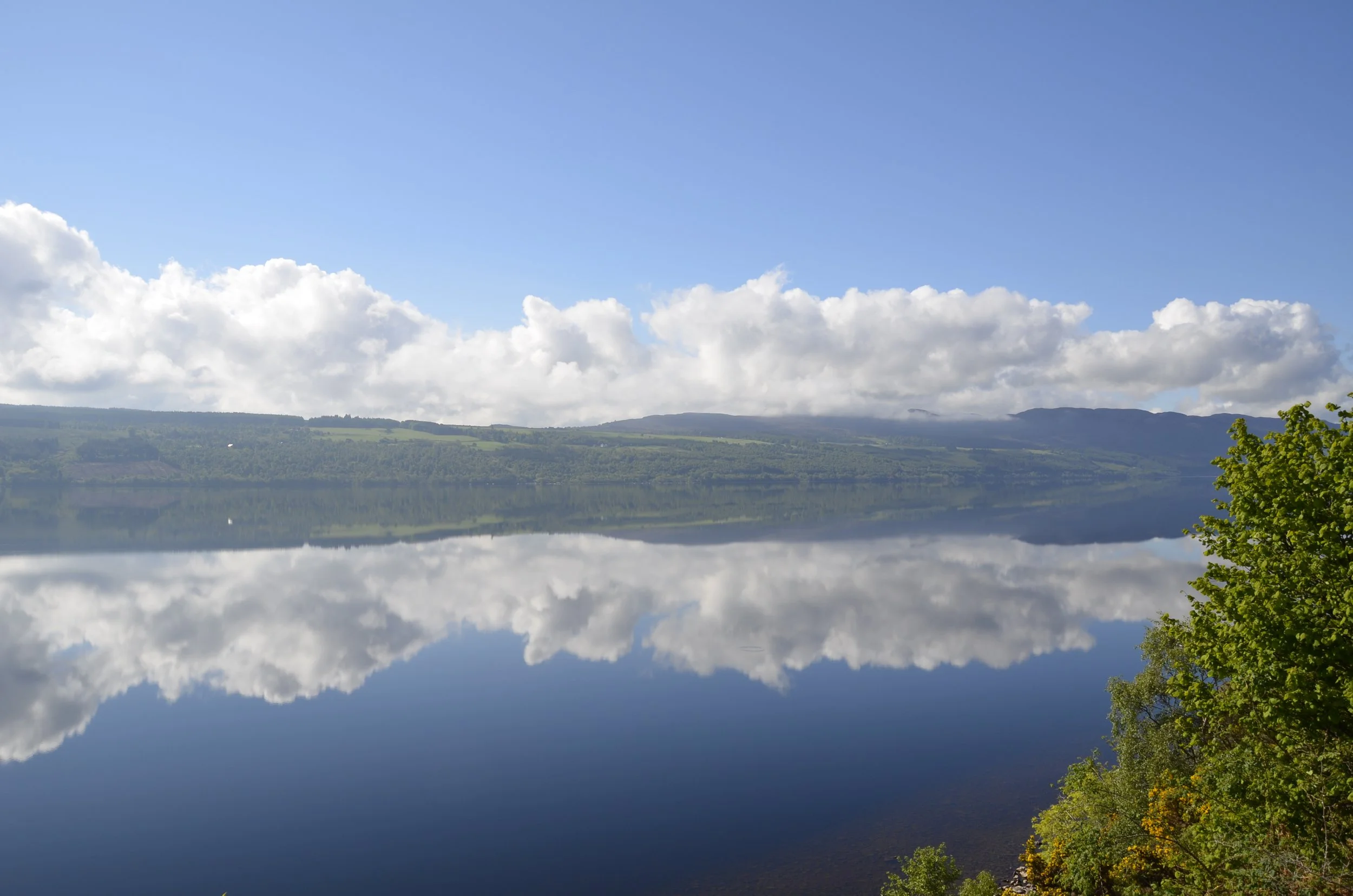
When we left Inverness, we first headed SW to Loch Ness…
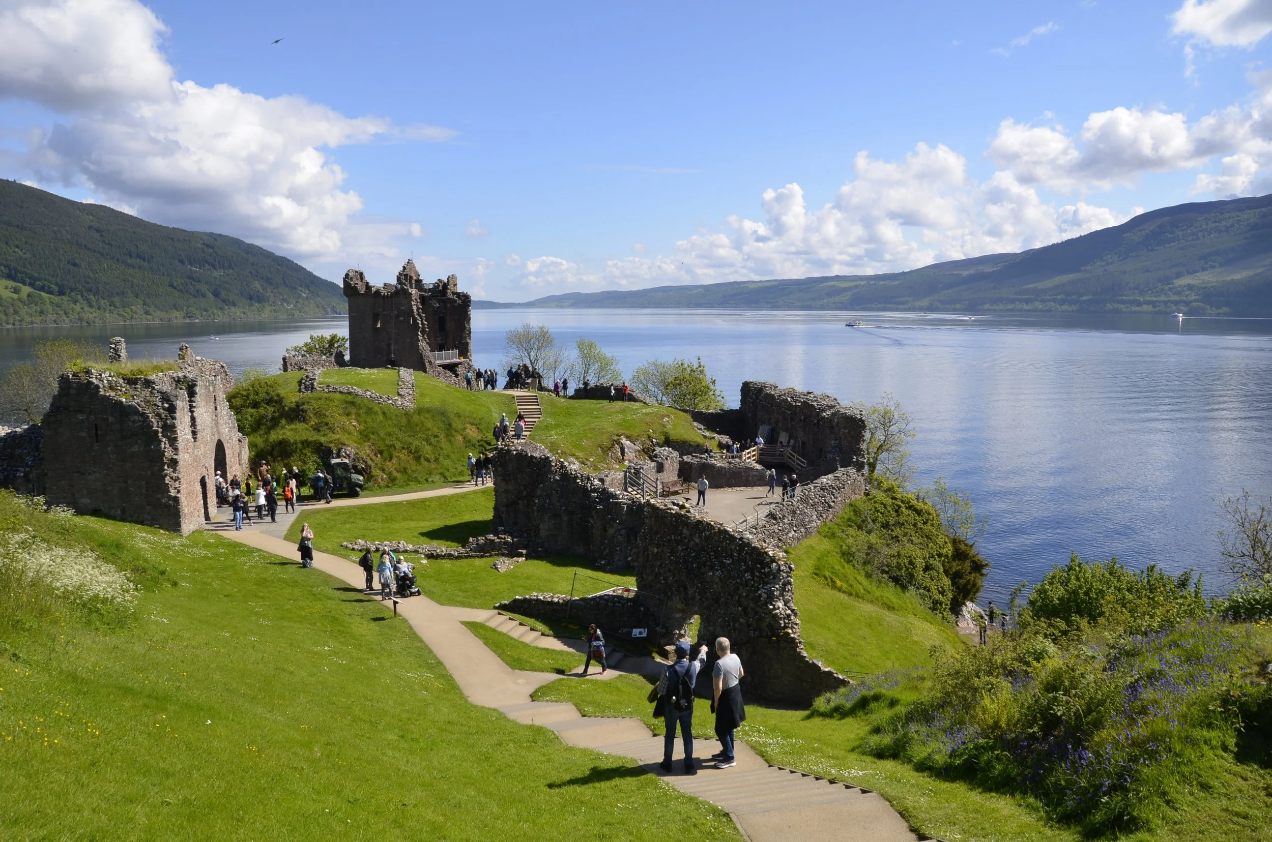
… to visit Urquhart Castle -
It was a ruin, but it was beautifully situated -
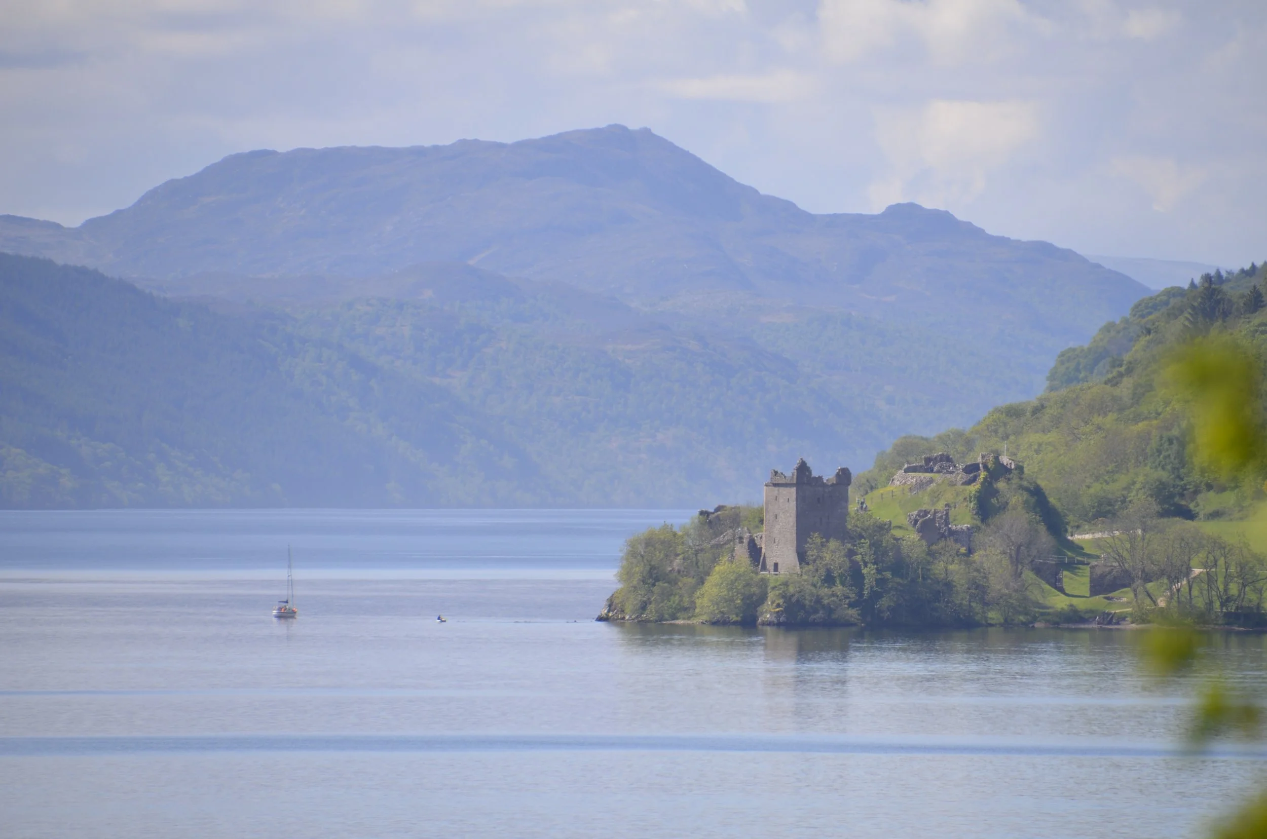
Looking back -
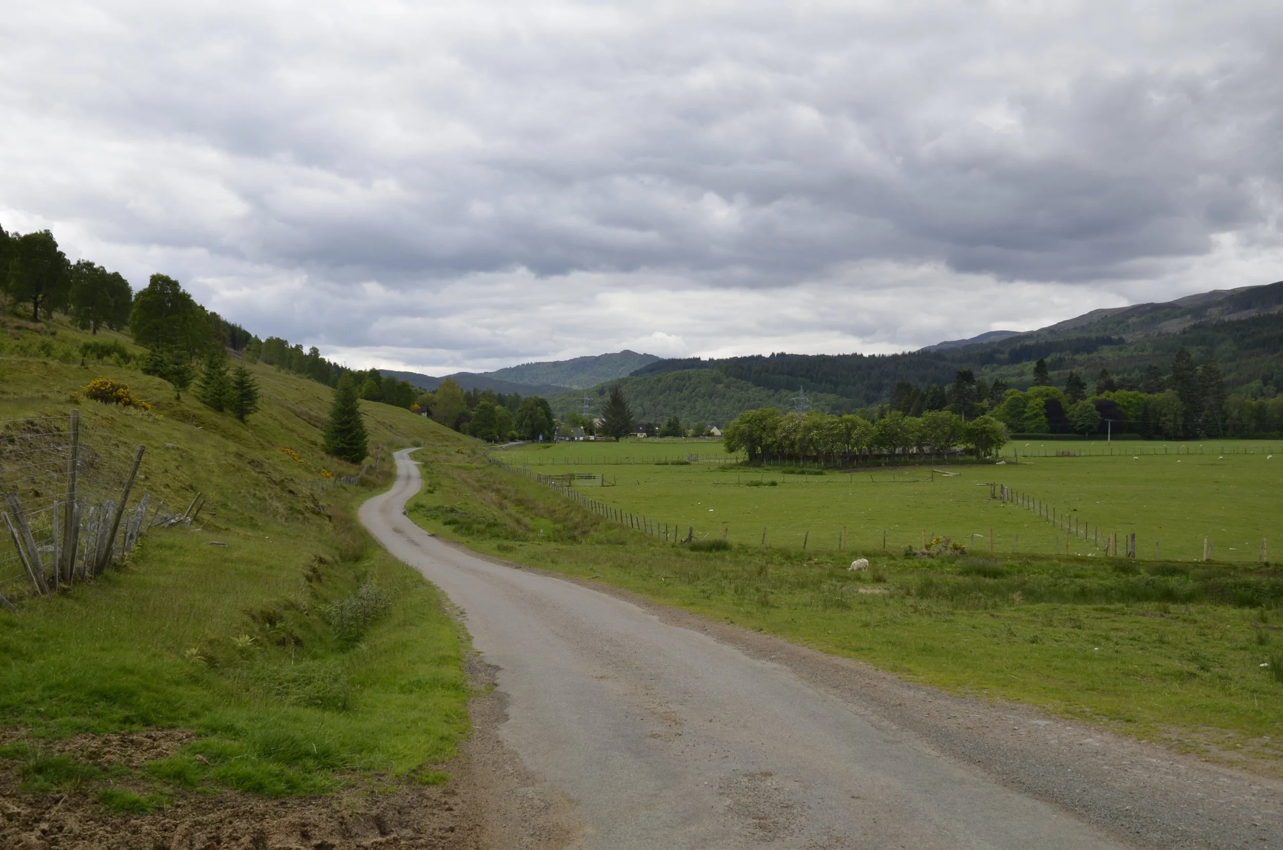
We then drove deep into the countryside…
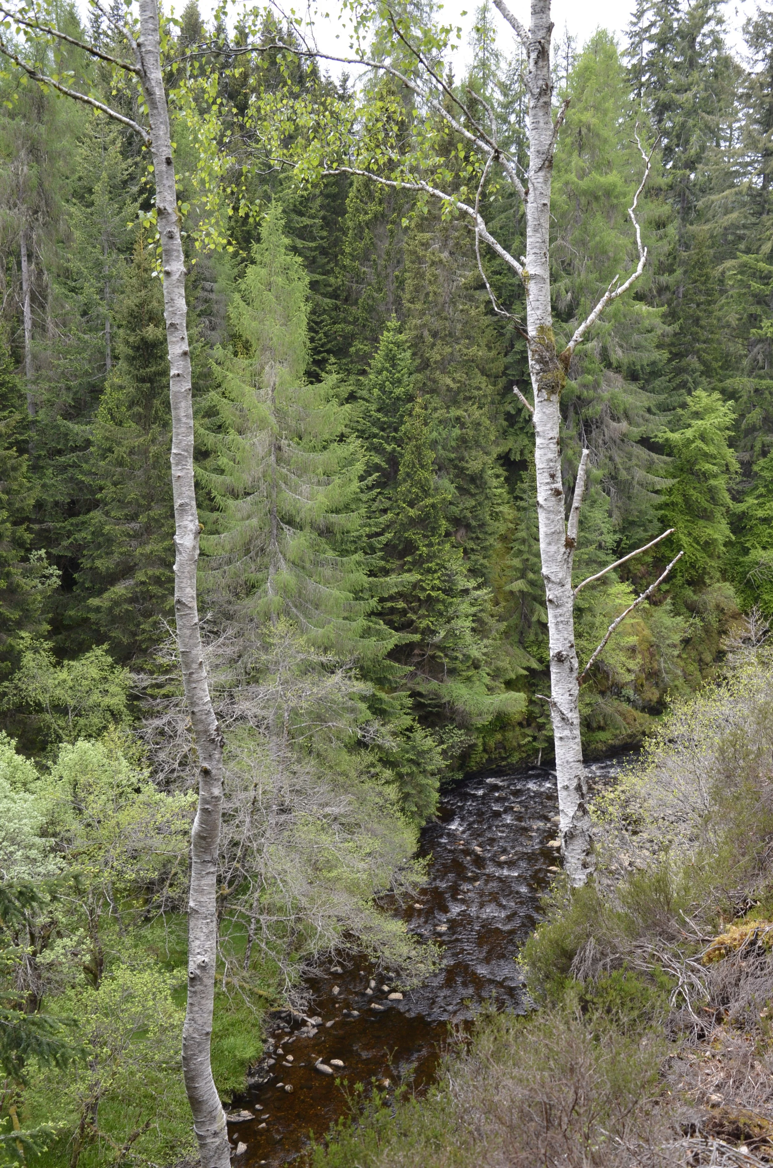
… to wander through a forest with tons of shades of green…
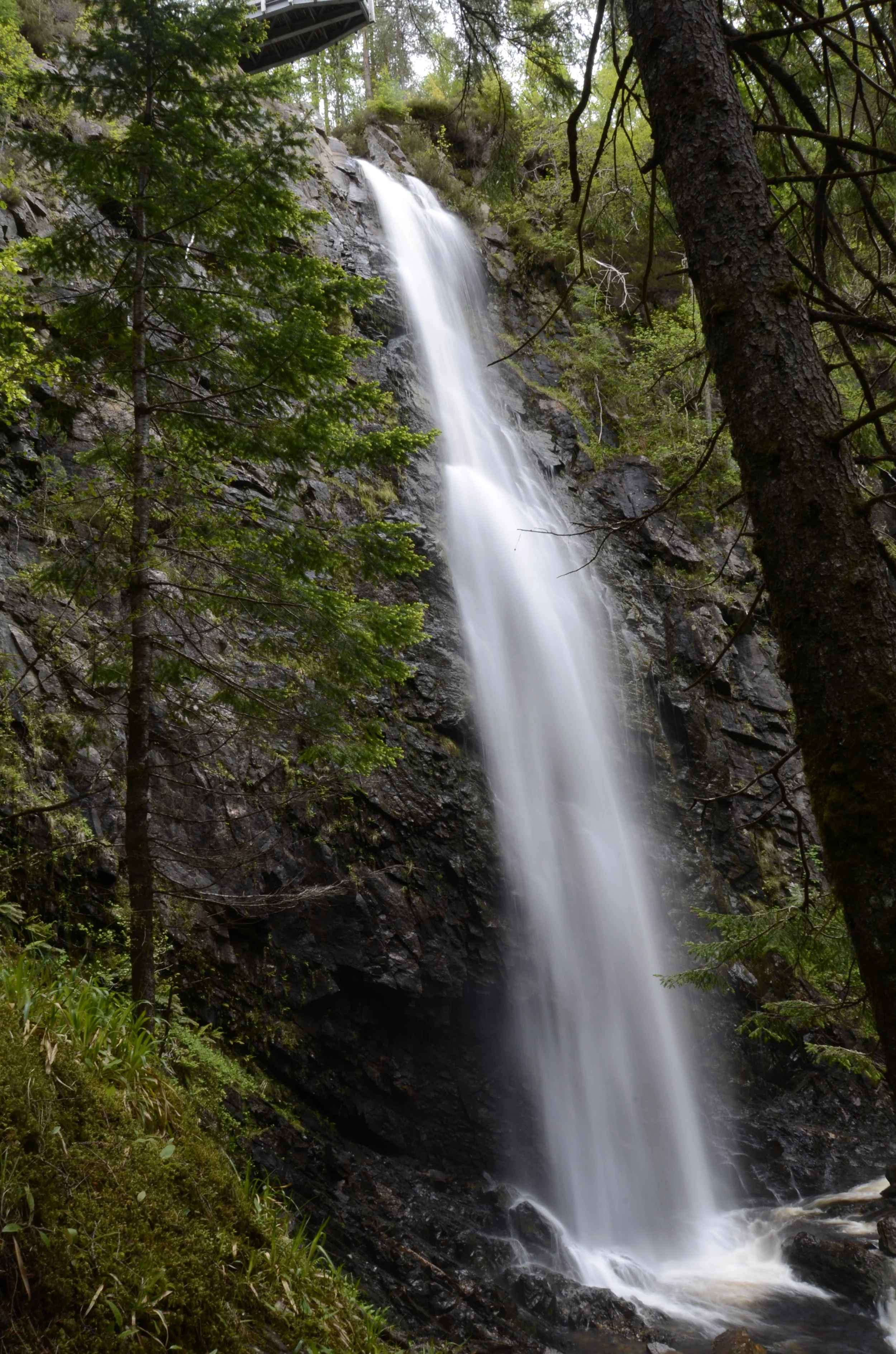
… to reach Plodda Falls (note the observation platform at the very top of the falls) -
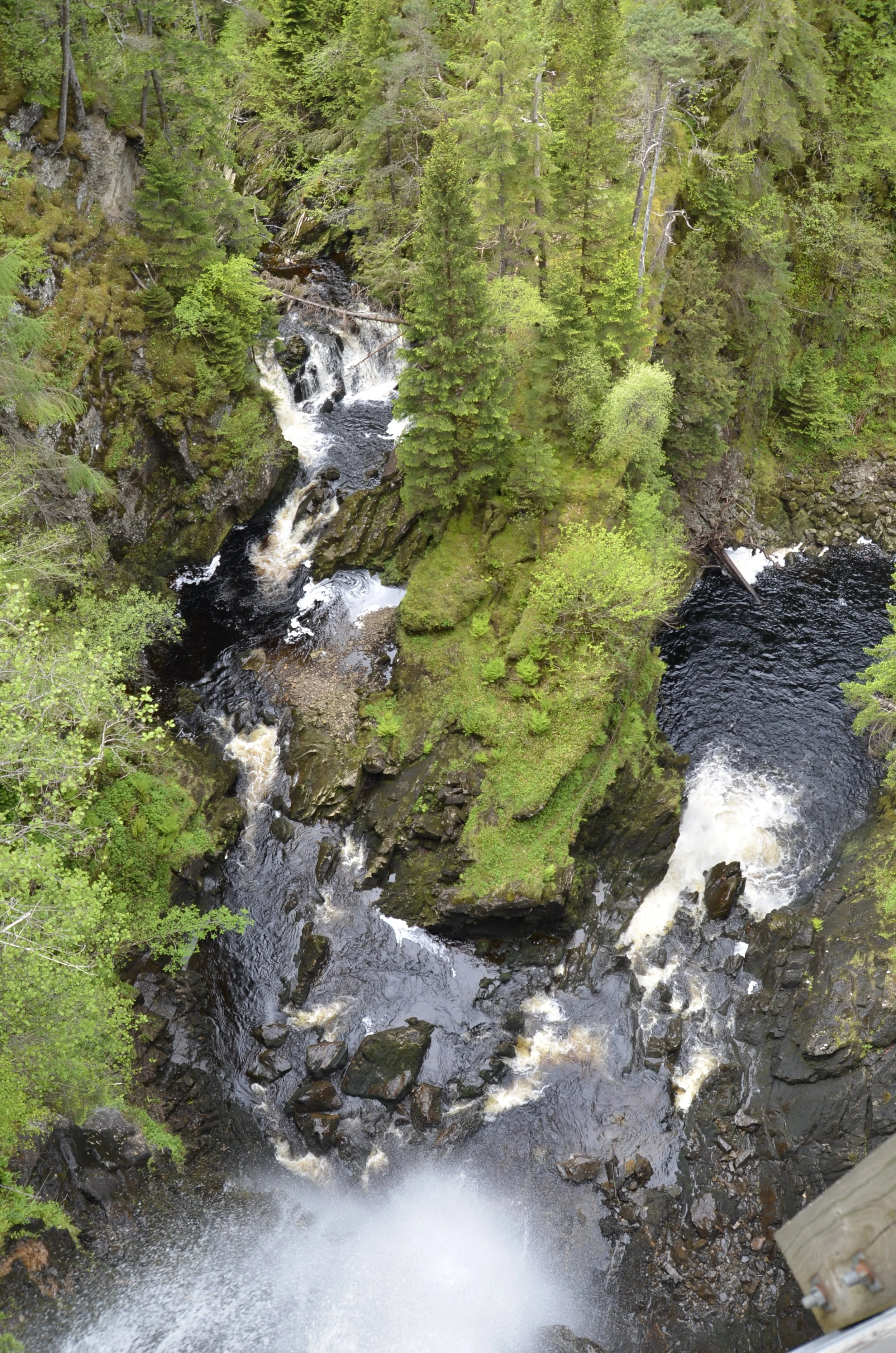
This next picture was taken from the observation platform looking straight down -
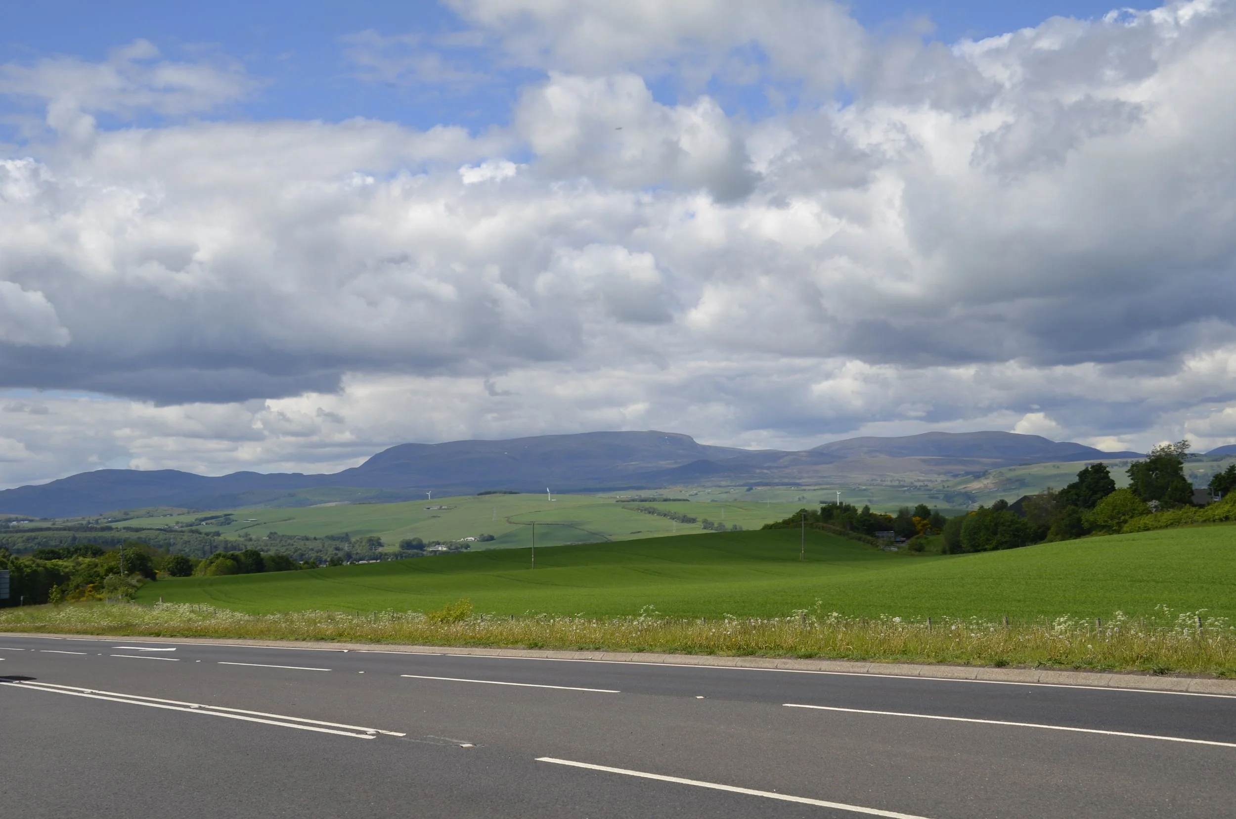
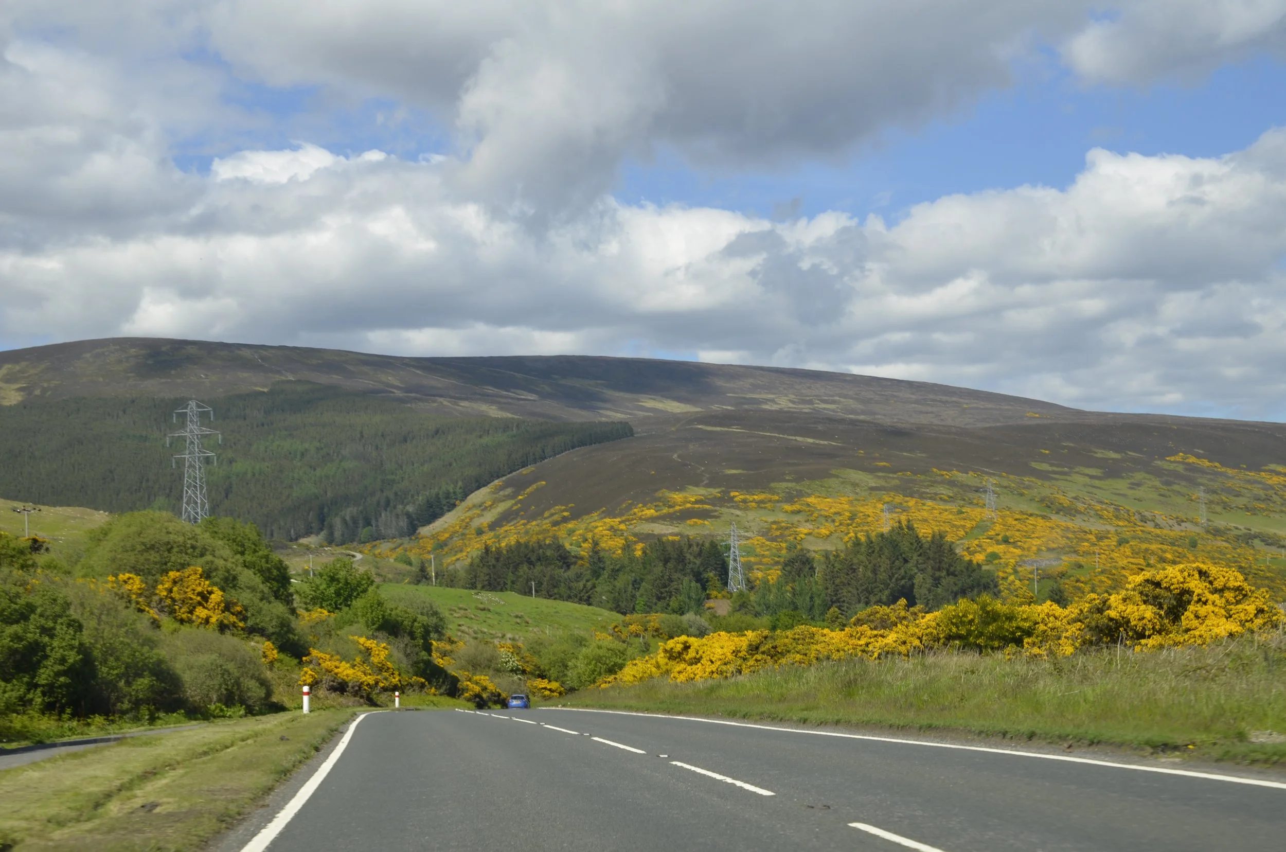
I’m not sure what I expected for the “Highlands” of Scotland, but I don’t think I anticipated the lushness -
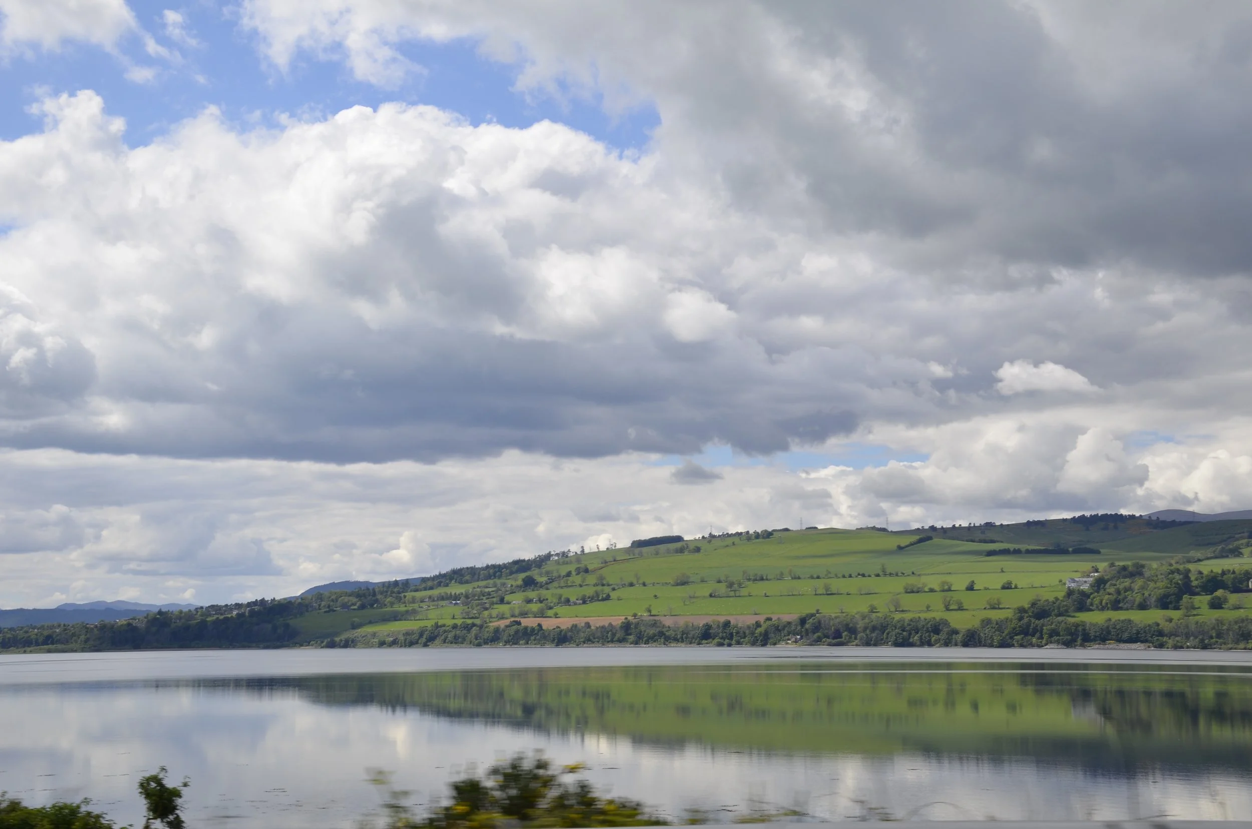
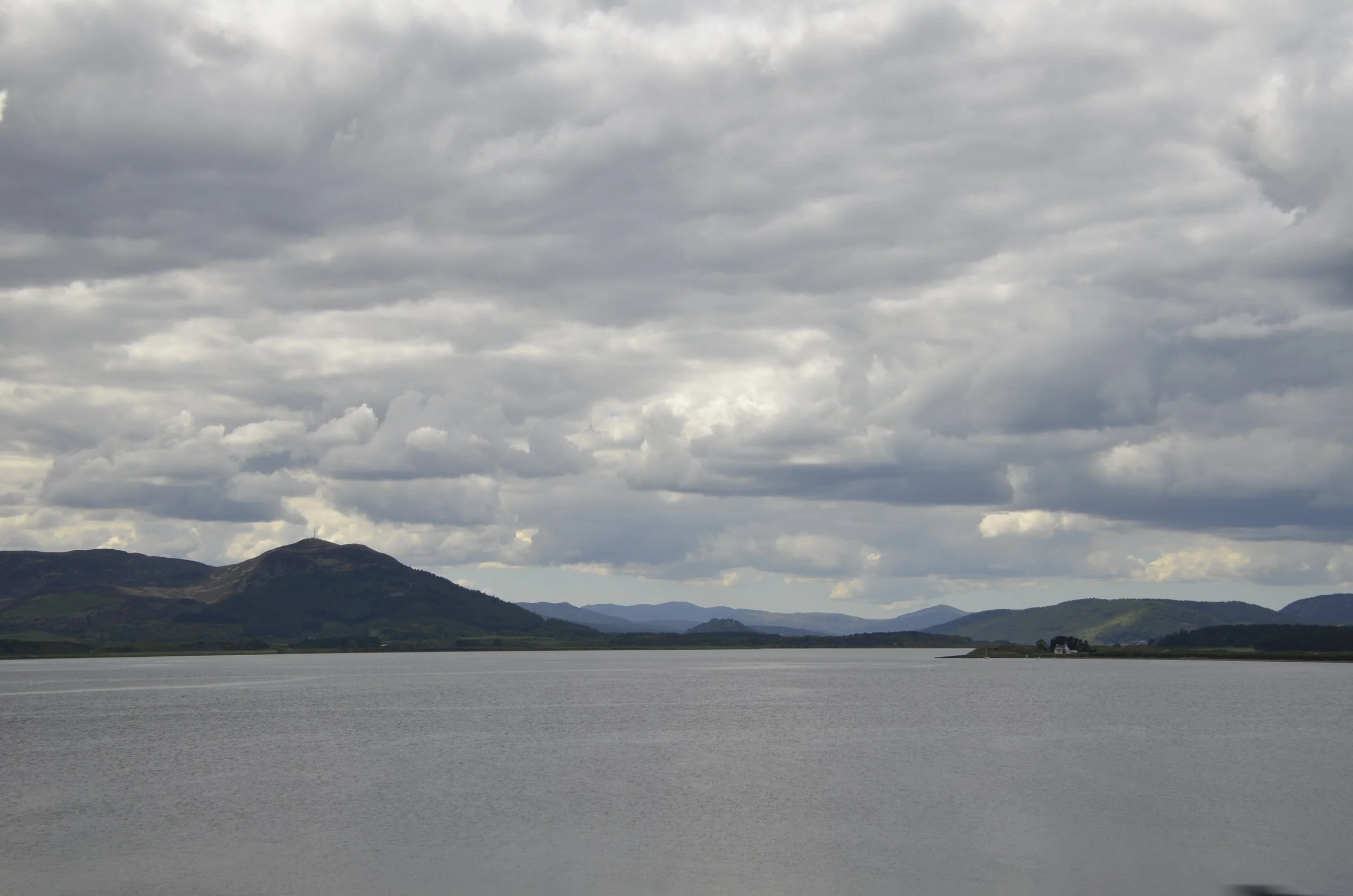
There were many lochs and inlets…
… and we crossed several Firths (Scottish term for narrow inlets of the sea) on long bridges -
The Highland council is the largest in the country and essentially encompasses the NW quarter of Scotland. The variety of the topography is stunning…
… and includes what’s referred to as the North Coast 500. This is a route of over 500 miles all along the coast of the Highlands -
That’s not the greatest map, but it gives you an idea of where we are in the world.
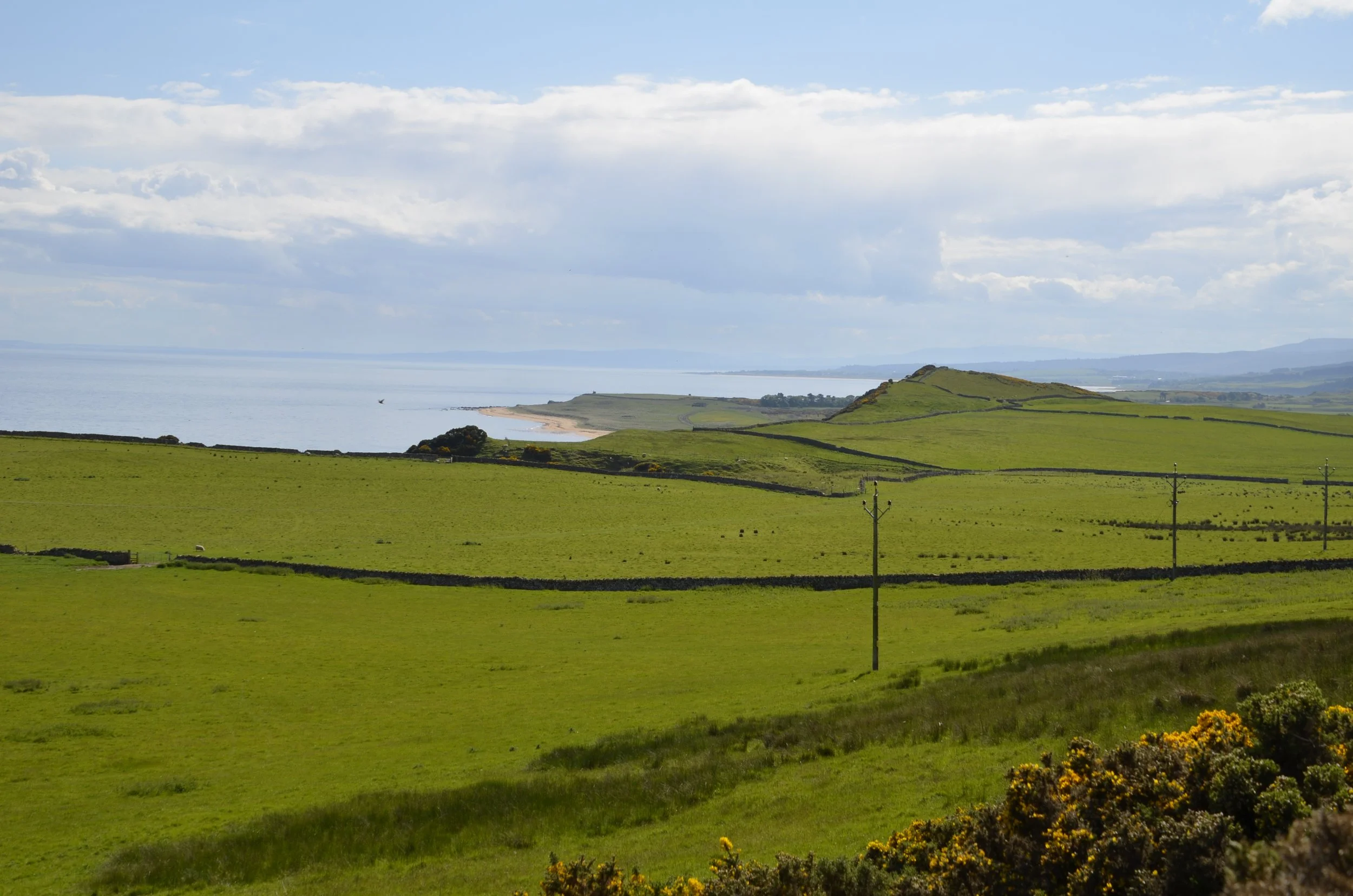
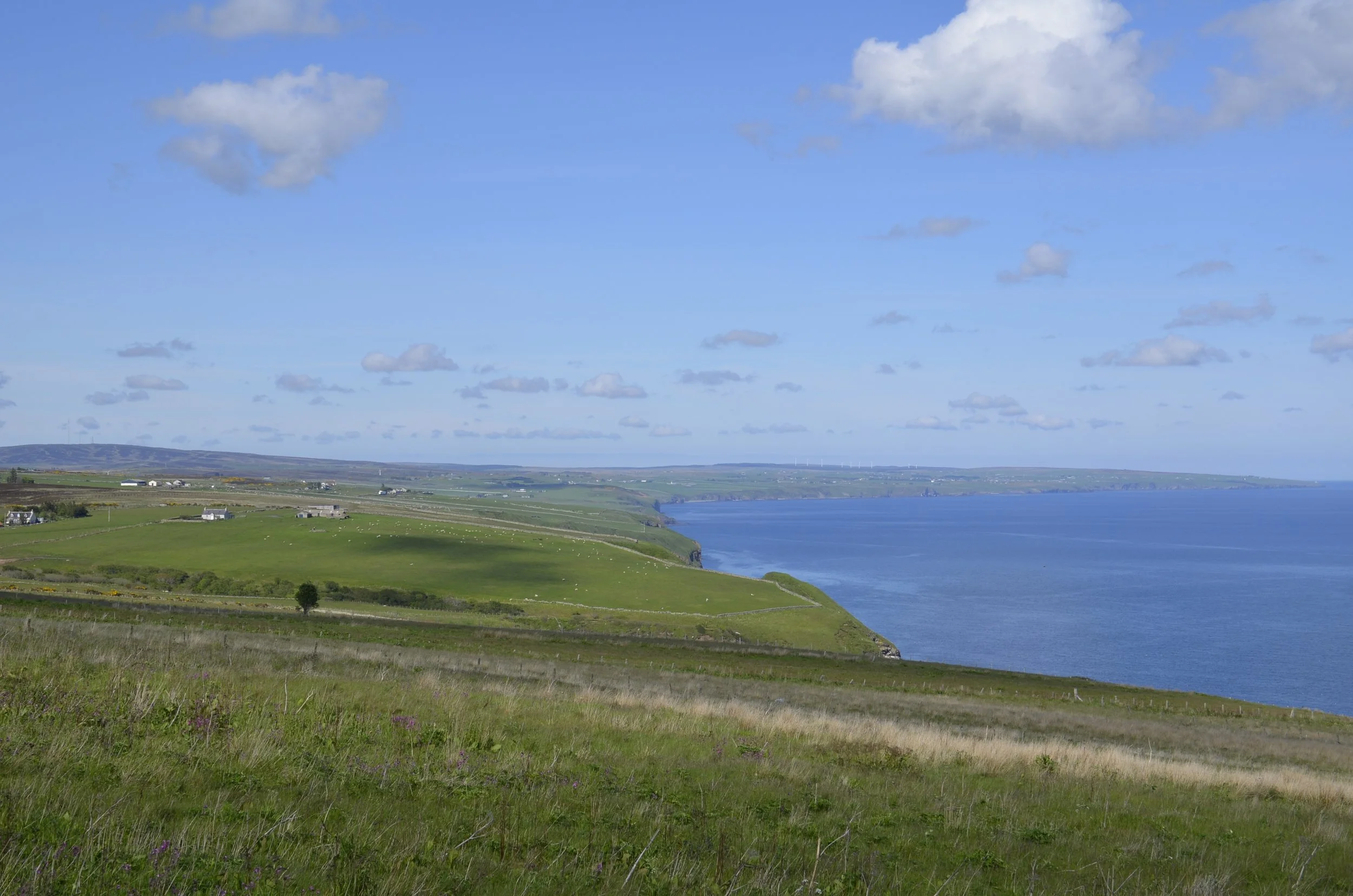
The coast was stunning…
… and we started seeing rock walls again (like throughout Ireland) that we hadn’t hardly seen at all in southern Scotland. Also, lots of sheep…
… and their more famous residents…
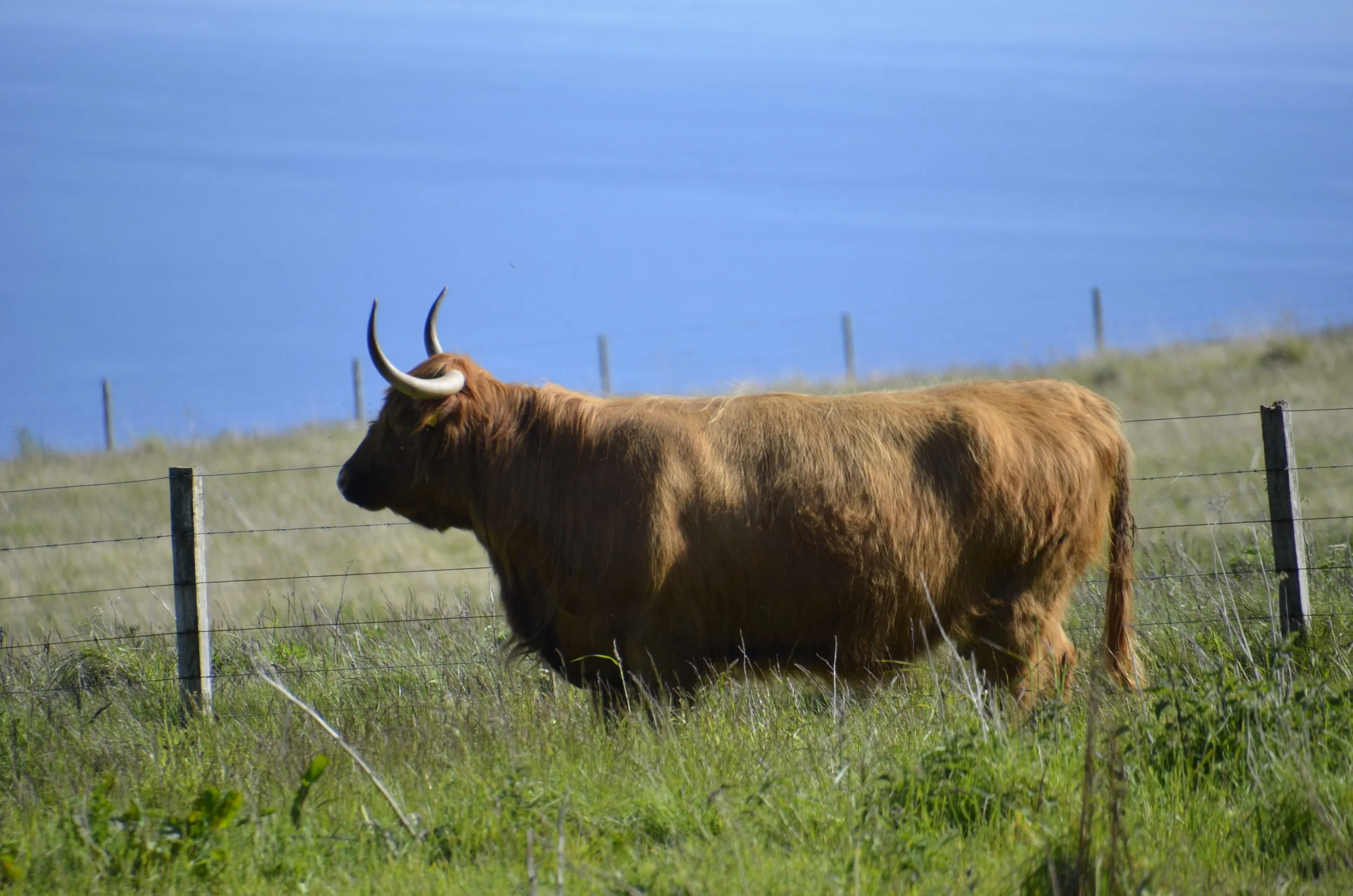
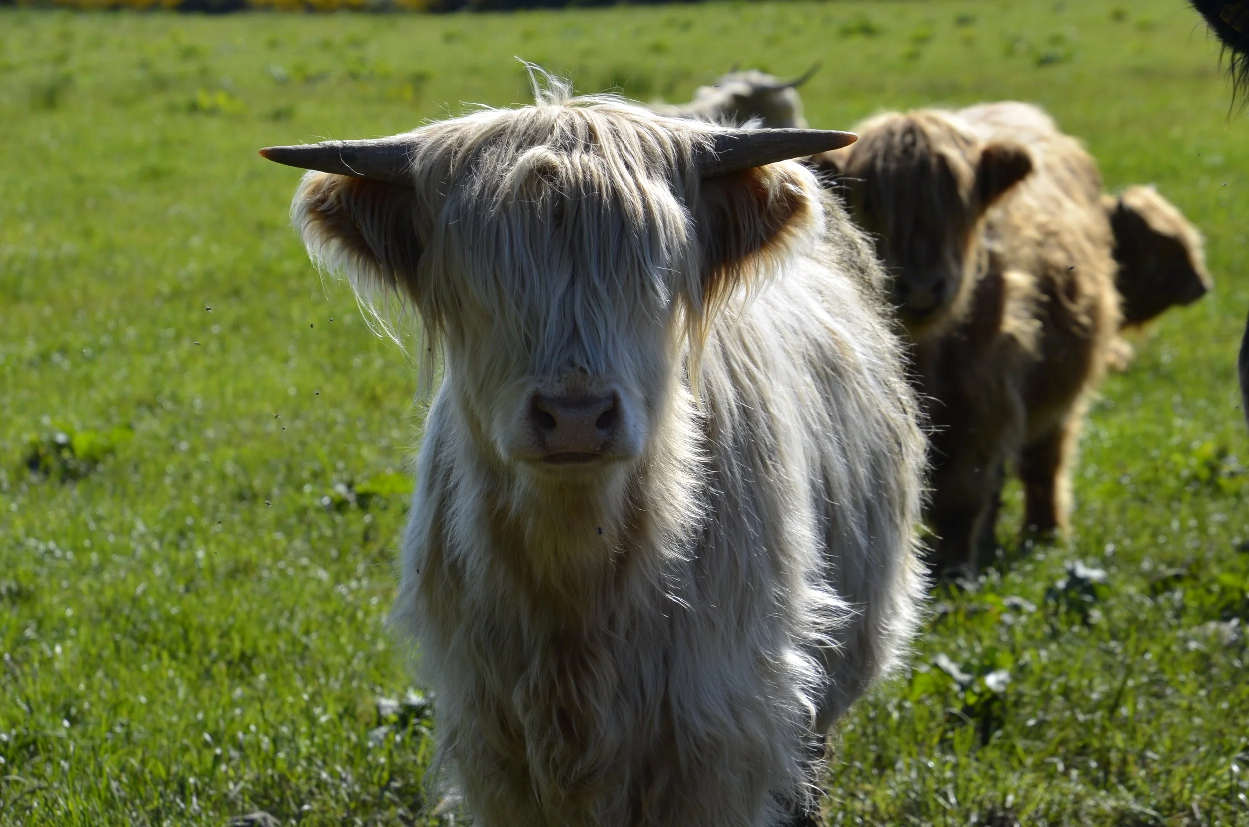
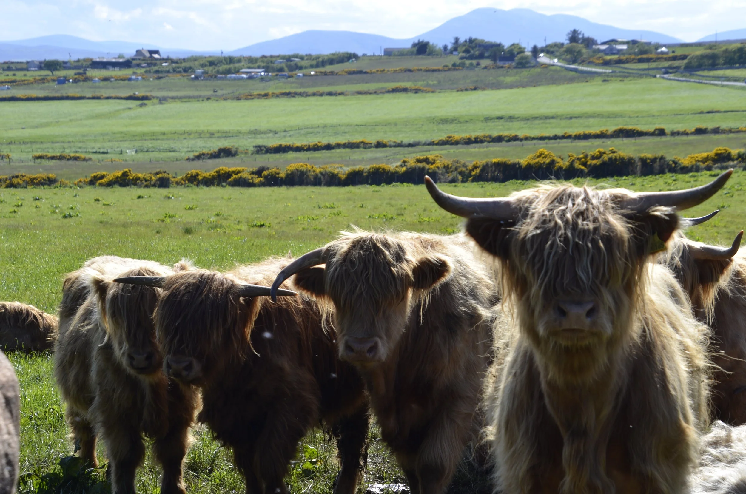
… Highland “coos”.
I found the variety of horn shapes and lengths to be interesting -
Every field we drove by that had large four legged beasts, we scanned them looking for these cuties. There actually weren’t that many.
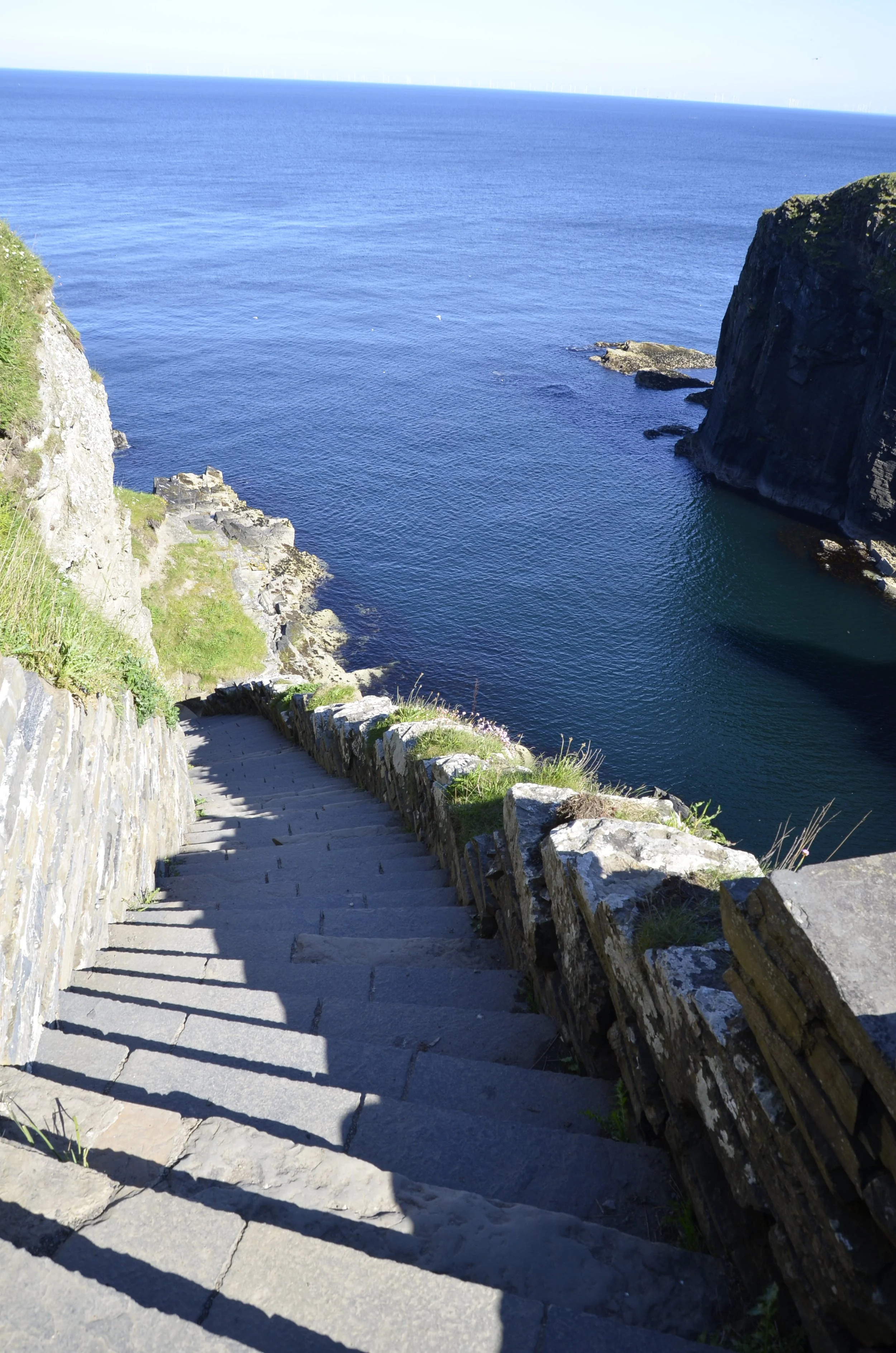
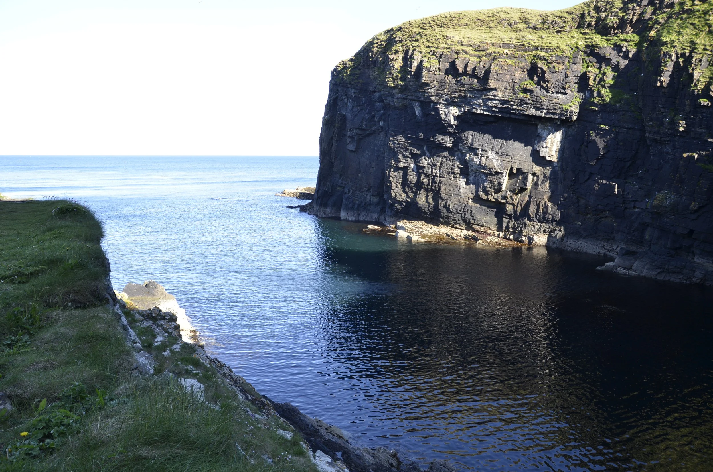
Our final destination for this day was the Whaligoe Steps…
… which is a series of over 300 steps down to a very protected harbor (apparently a rarity along this coast) -
I’ll close with some neat pictures from the forest we wandered through earlier. This was one of the lookout points for the base of the waterfall -
Until next time…
