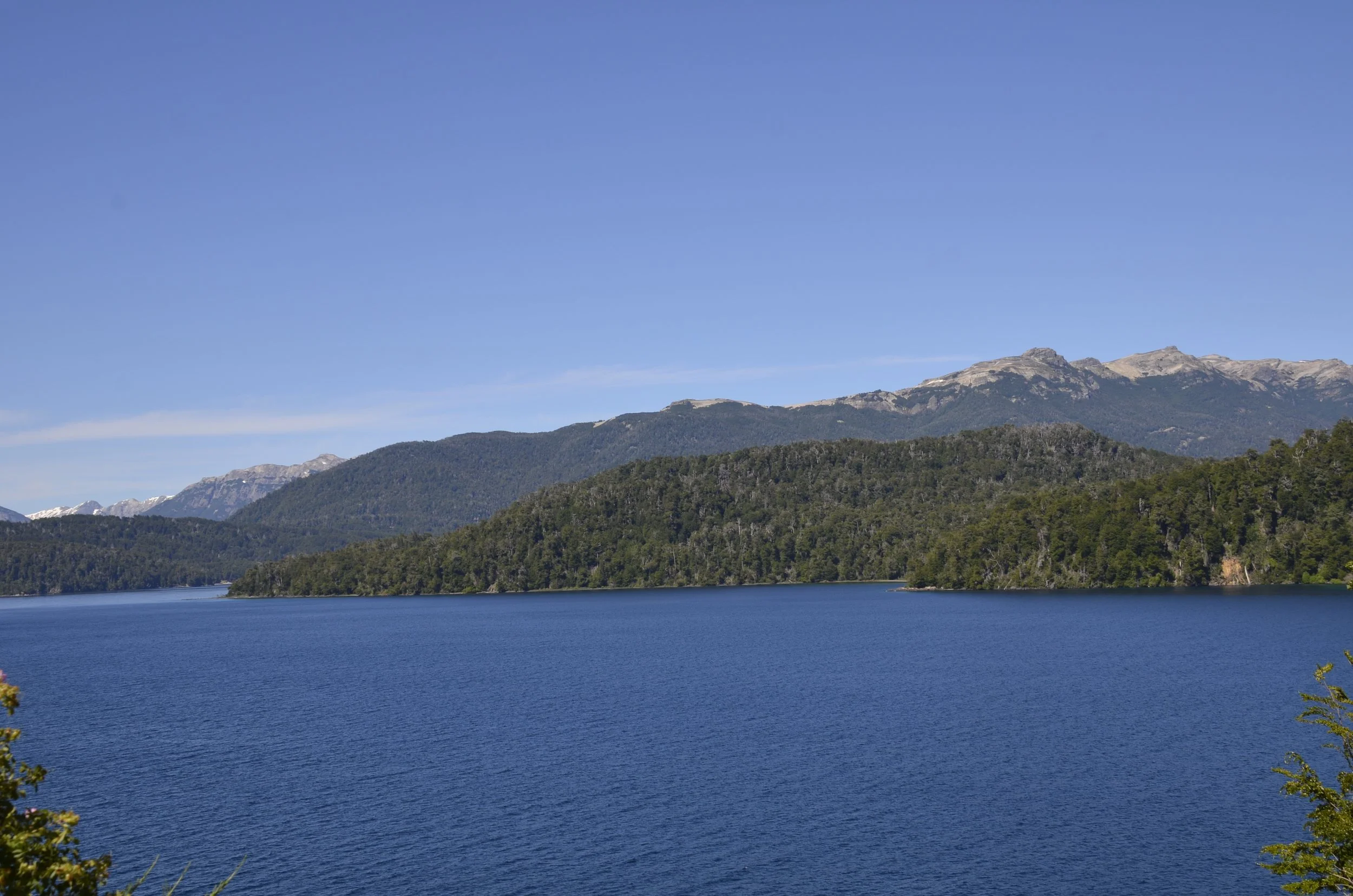
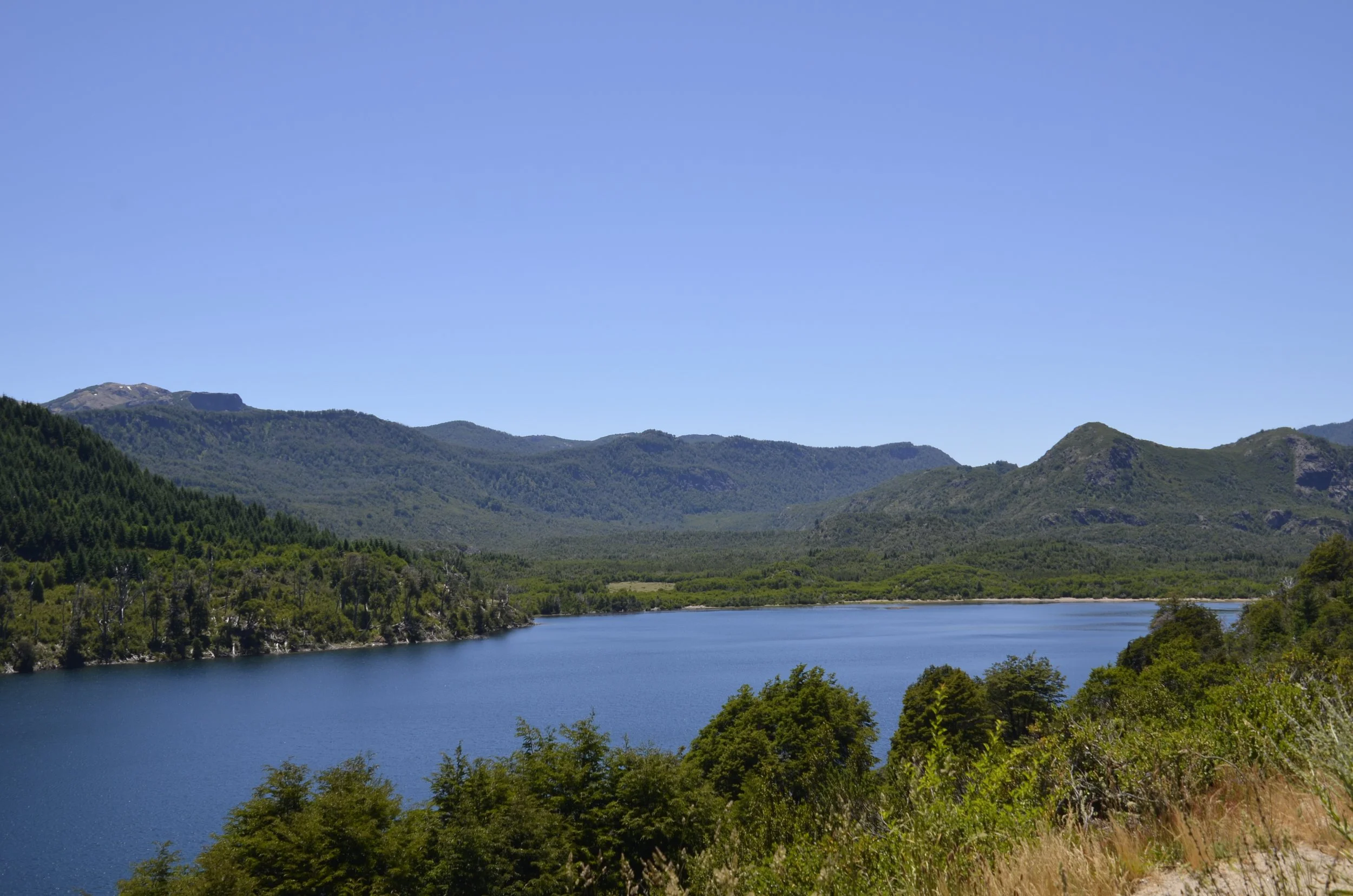
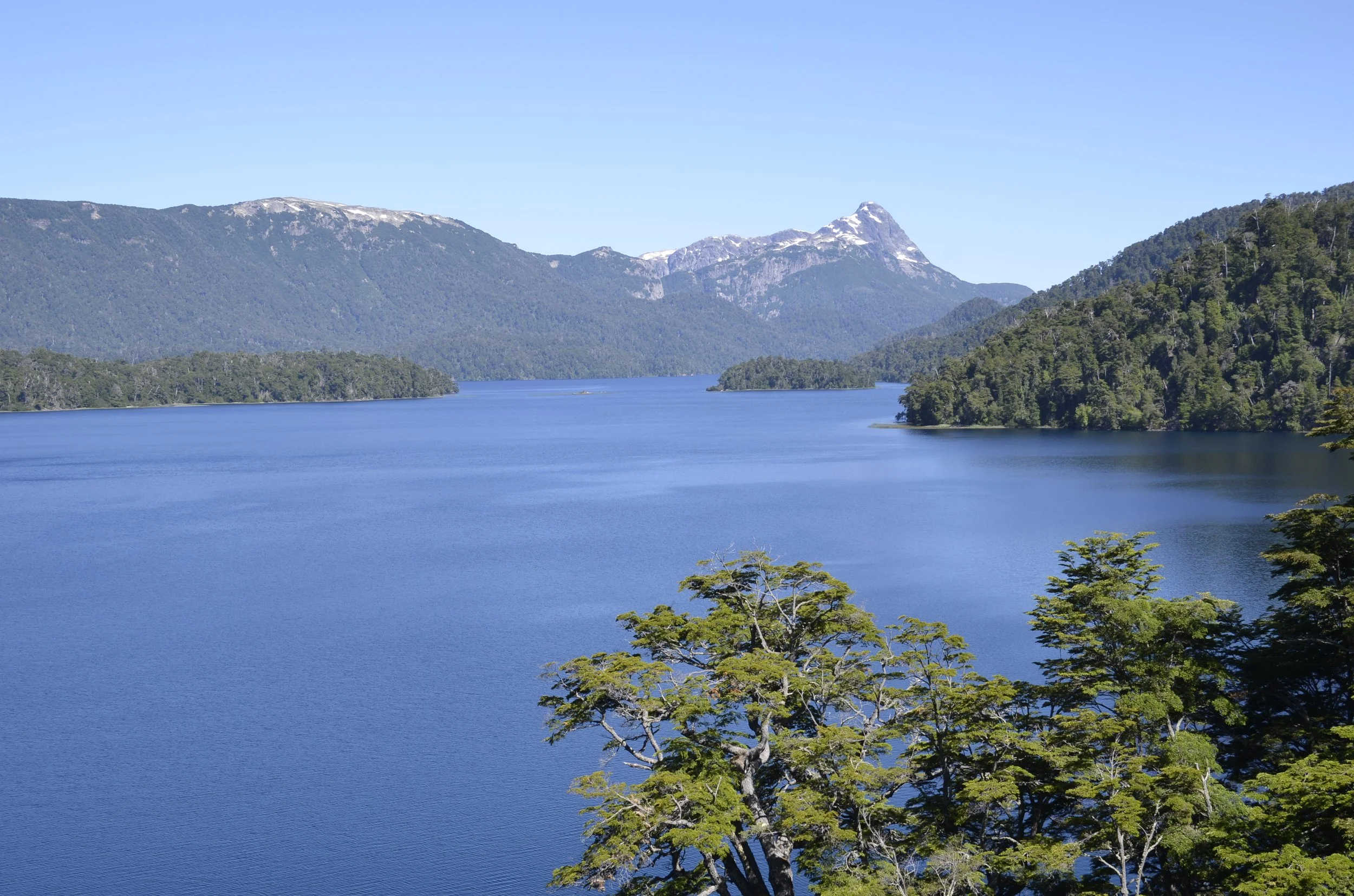
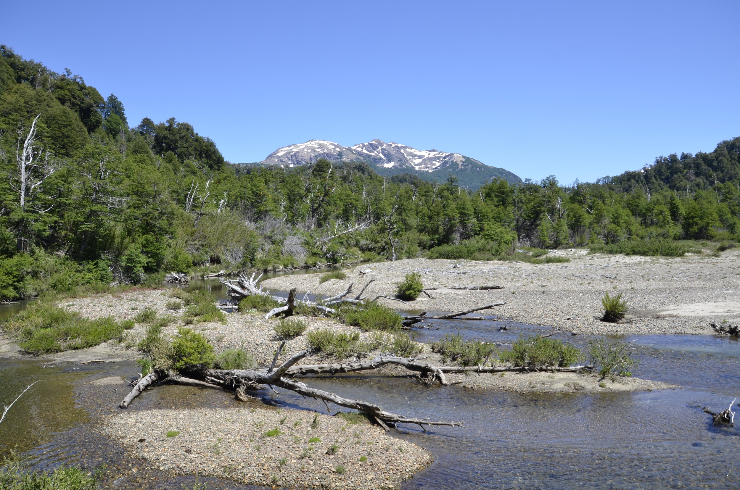
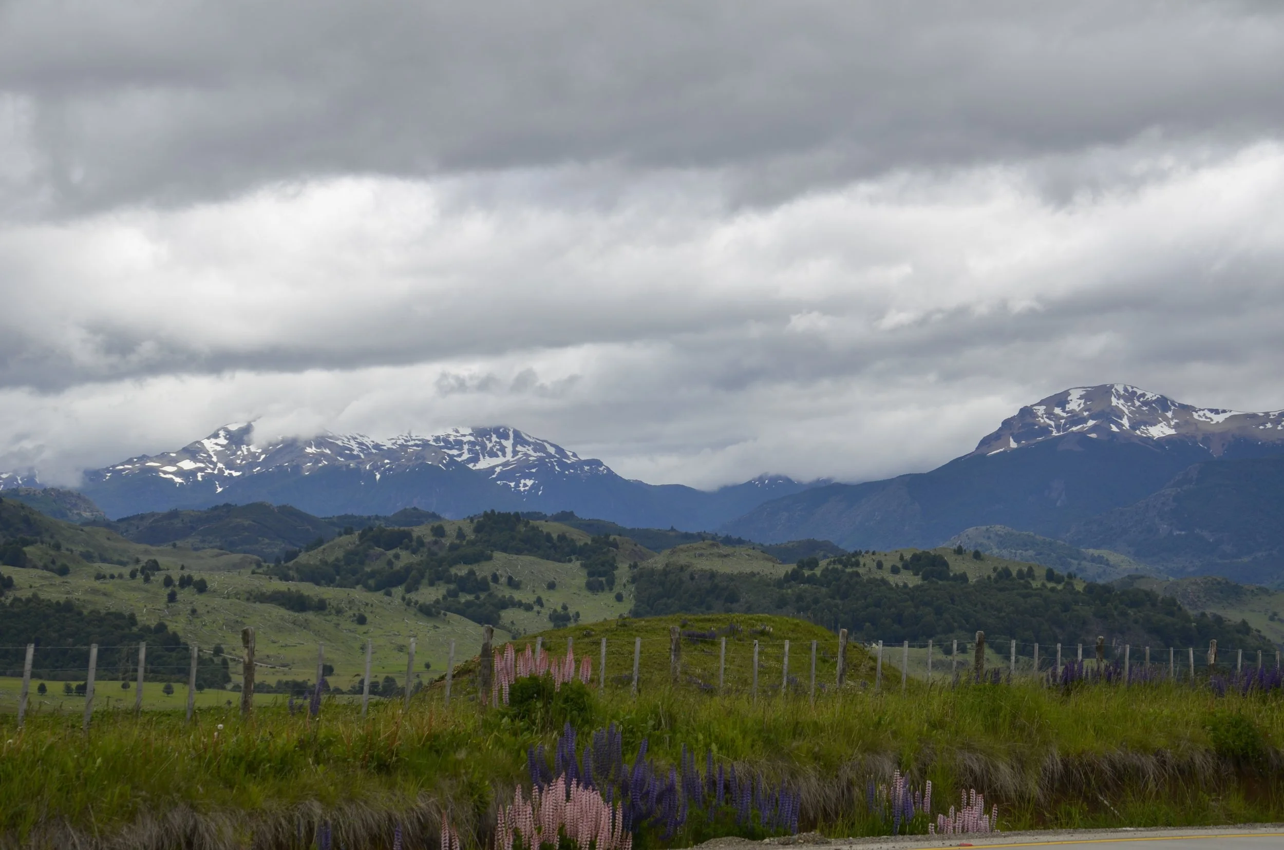
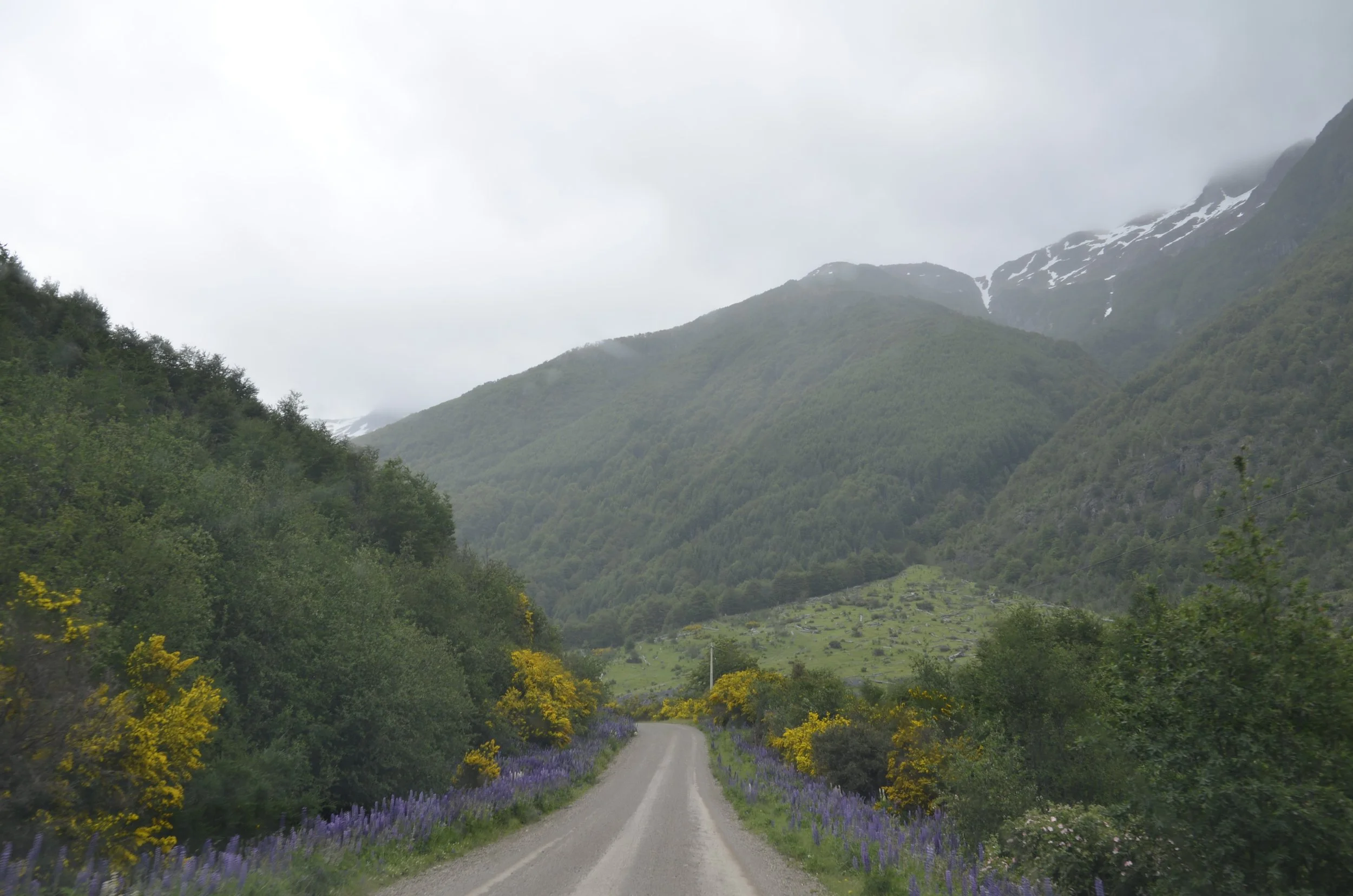
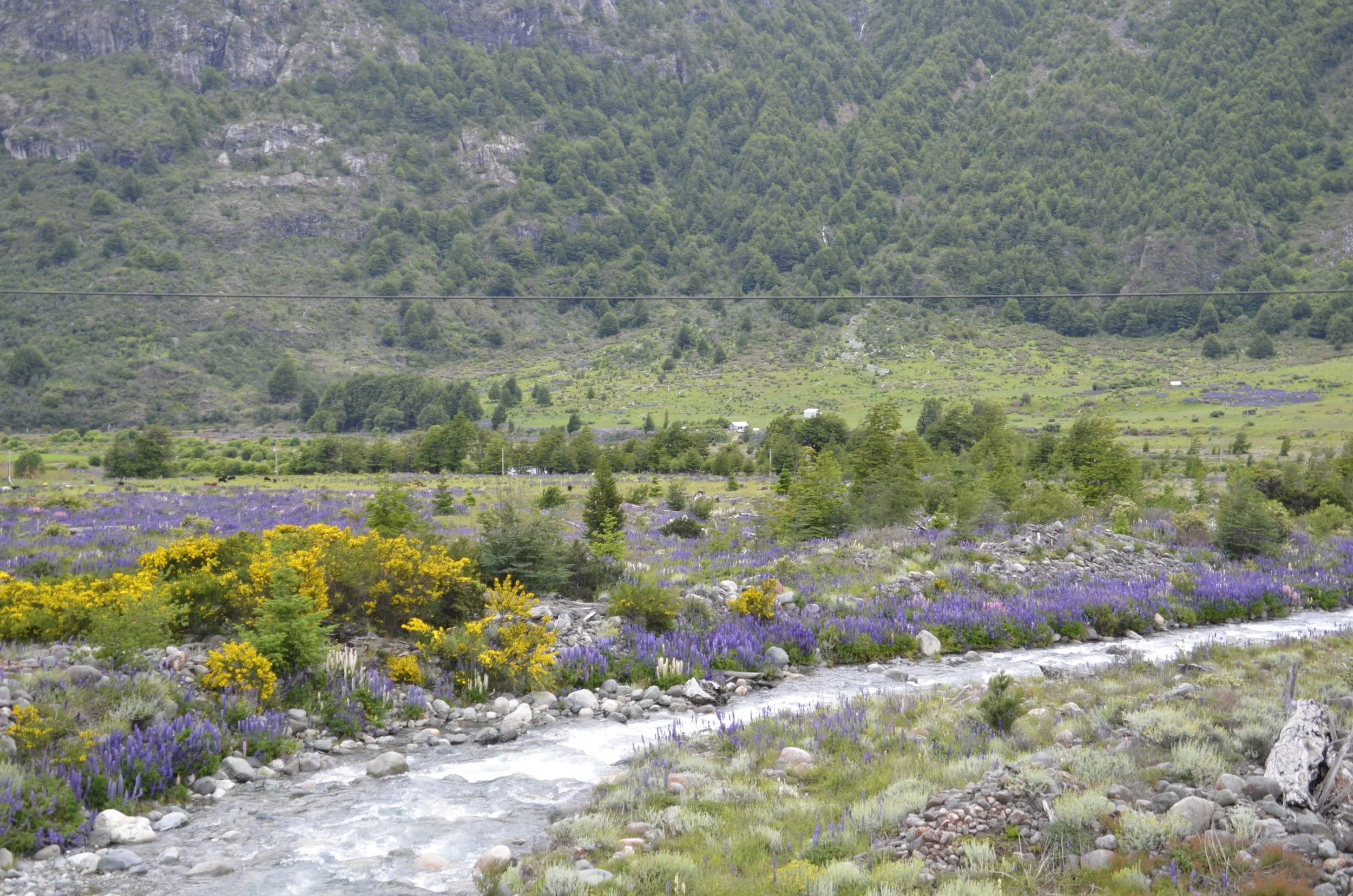
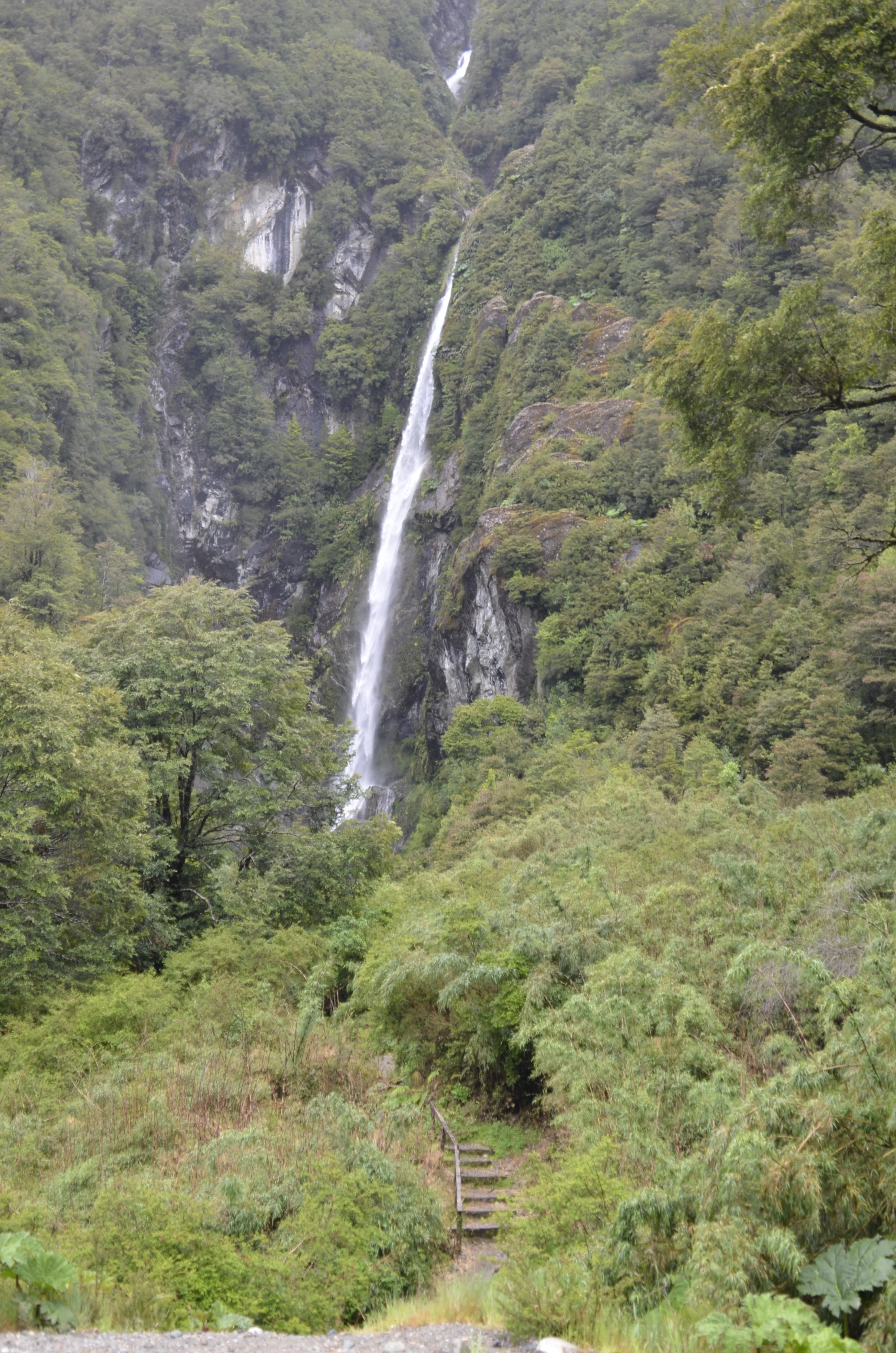
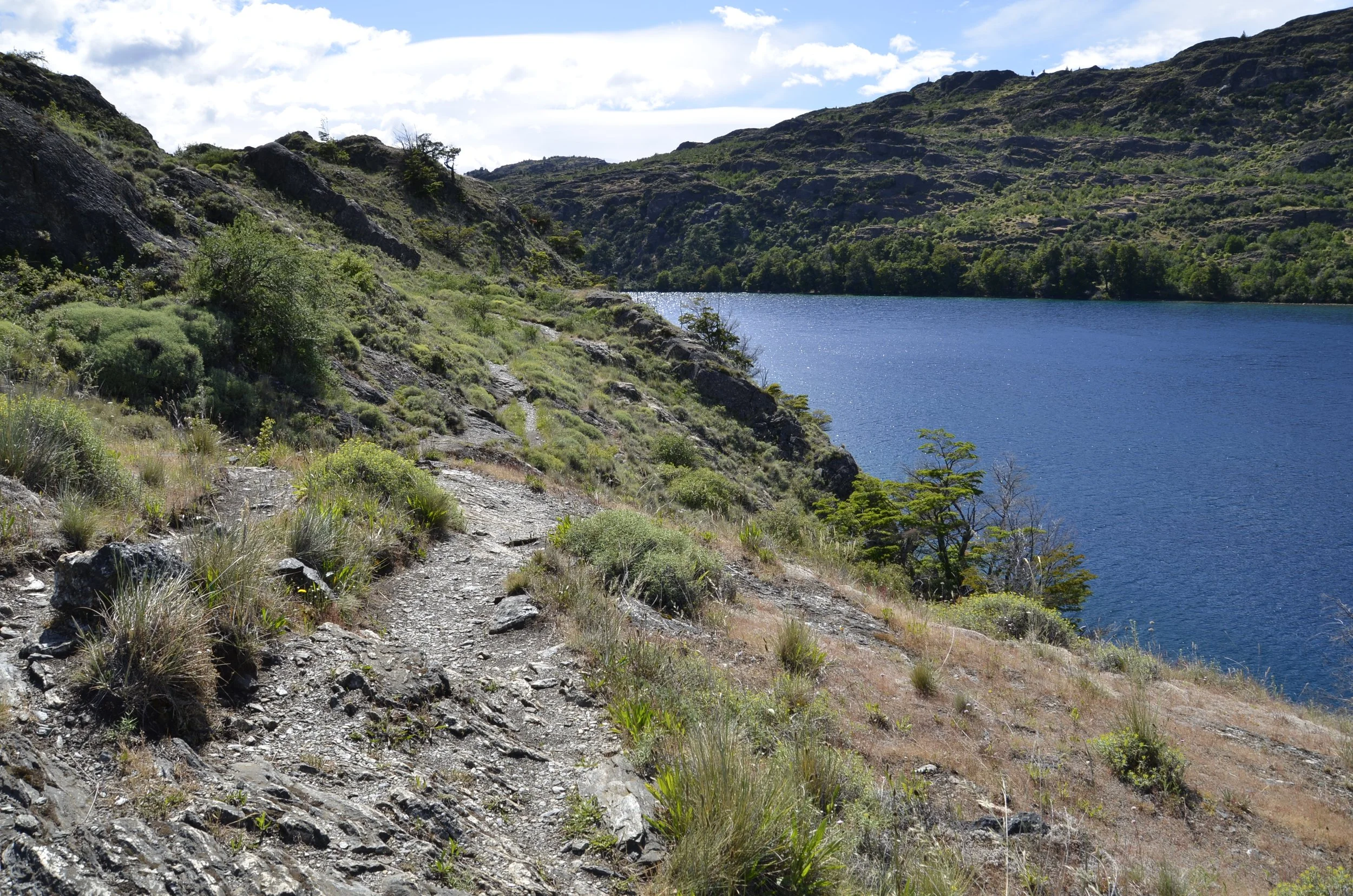
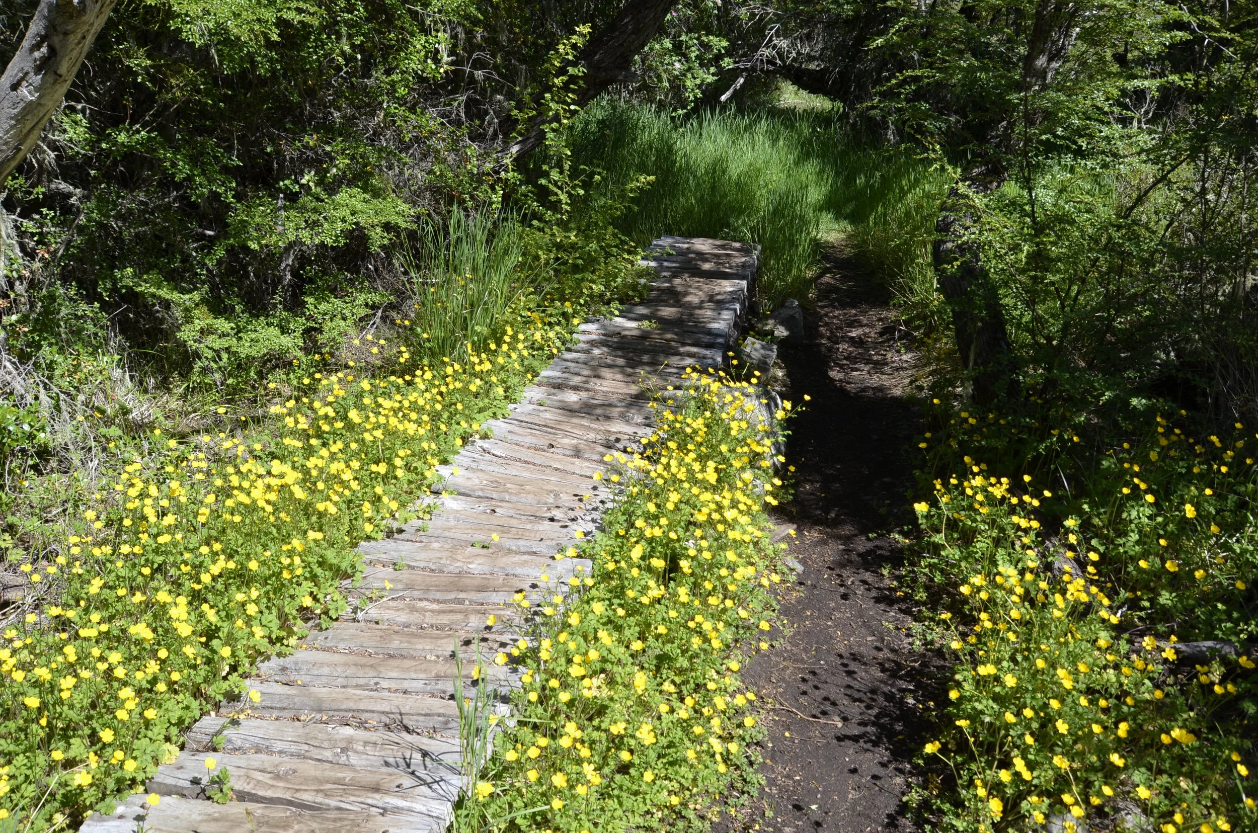
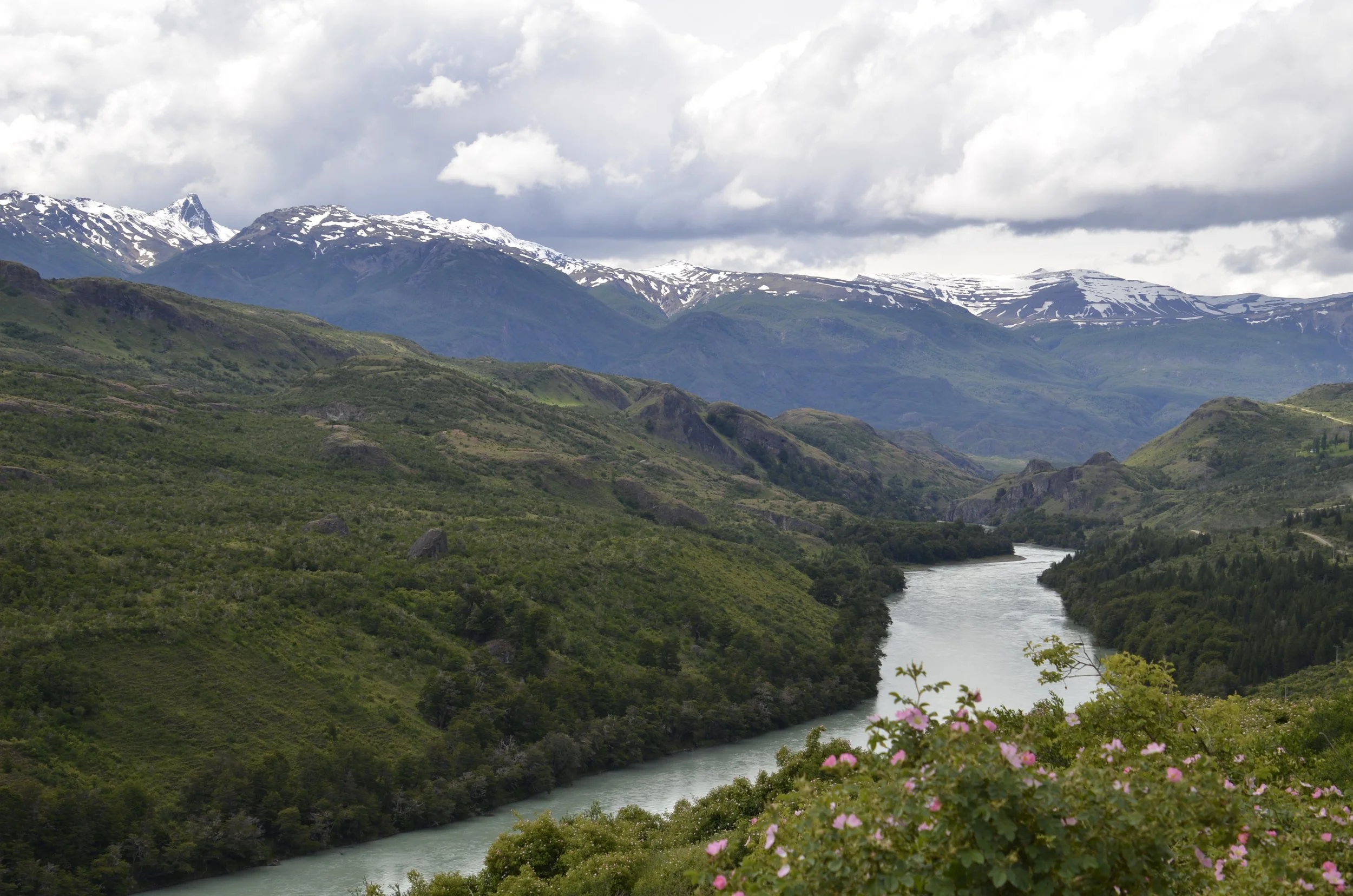
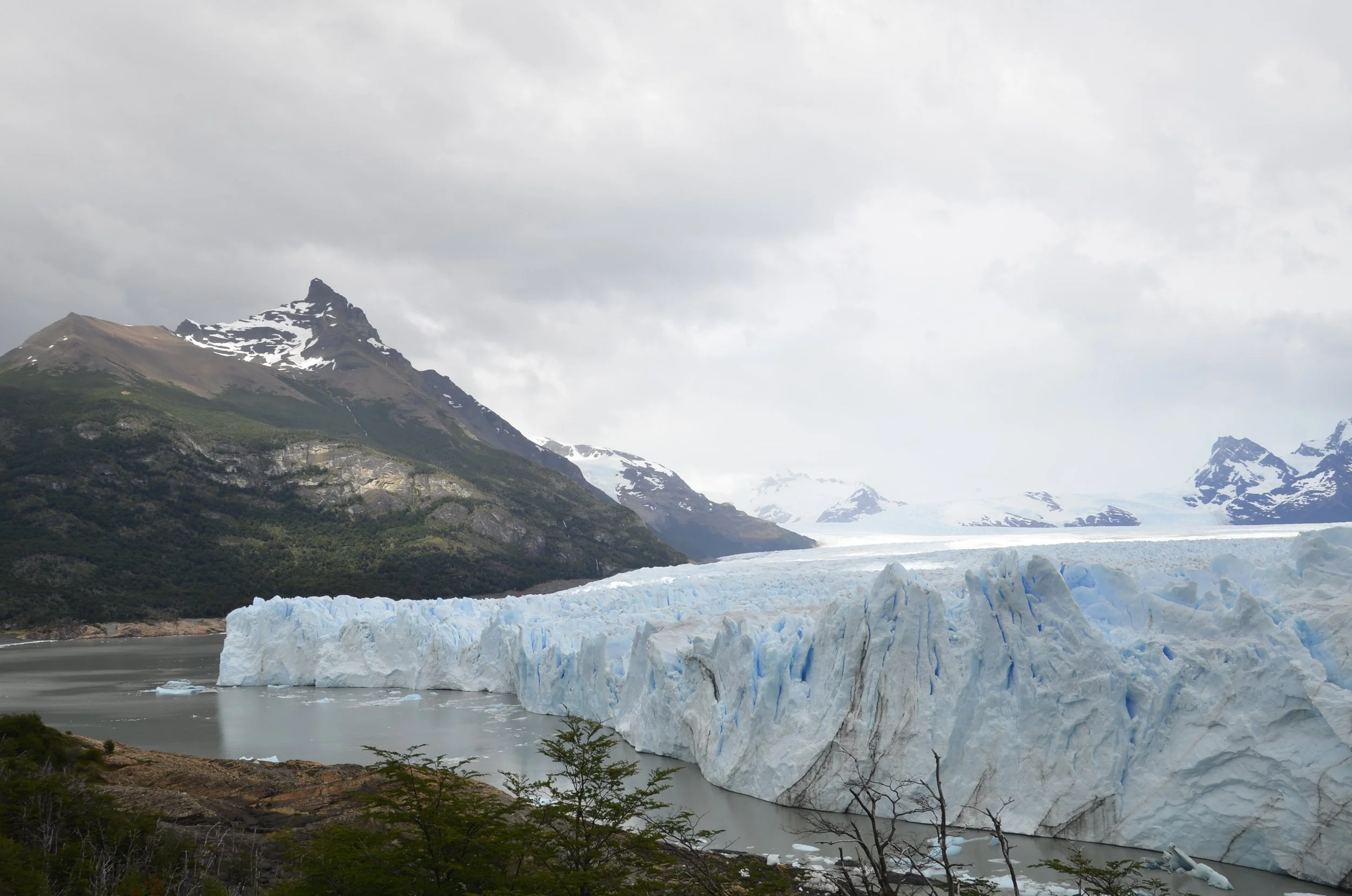
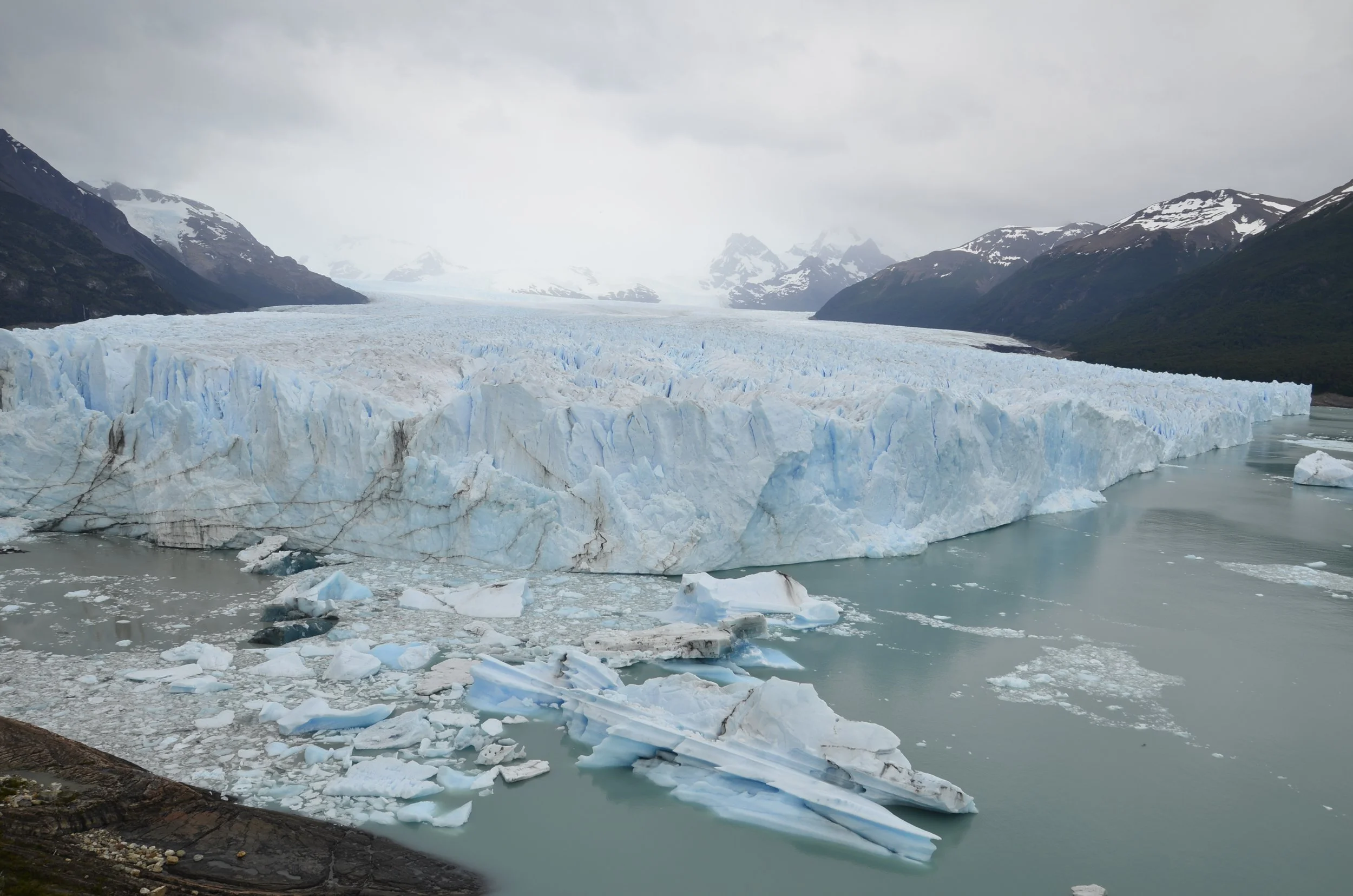
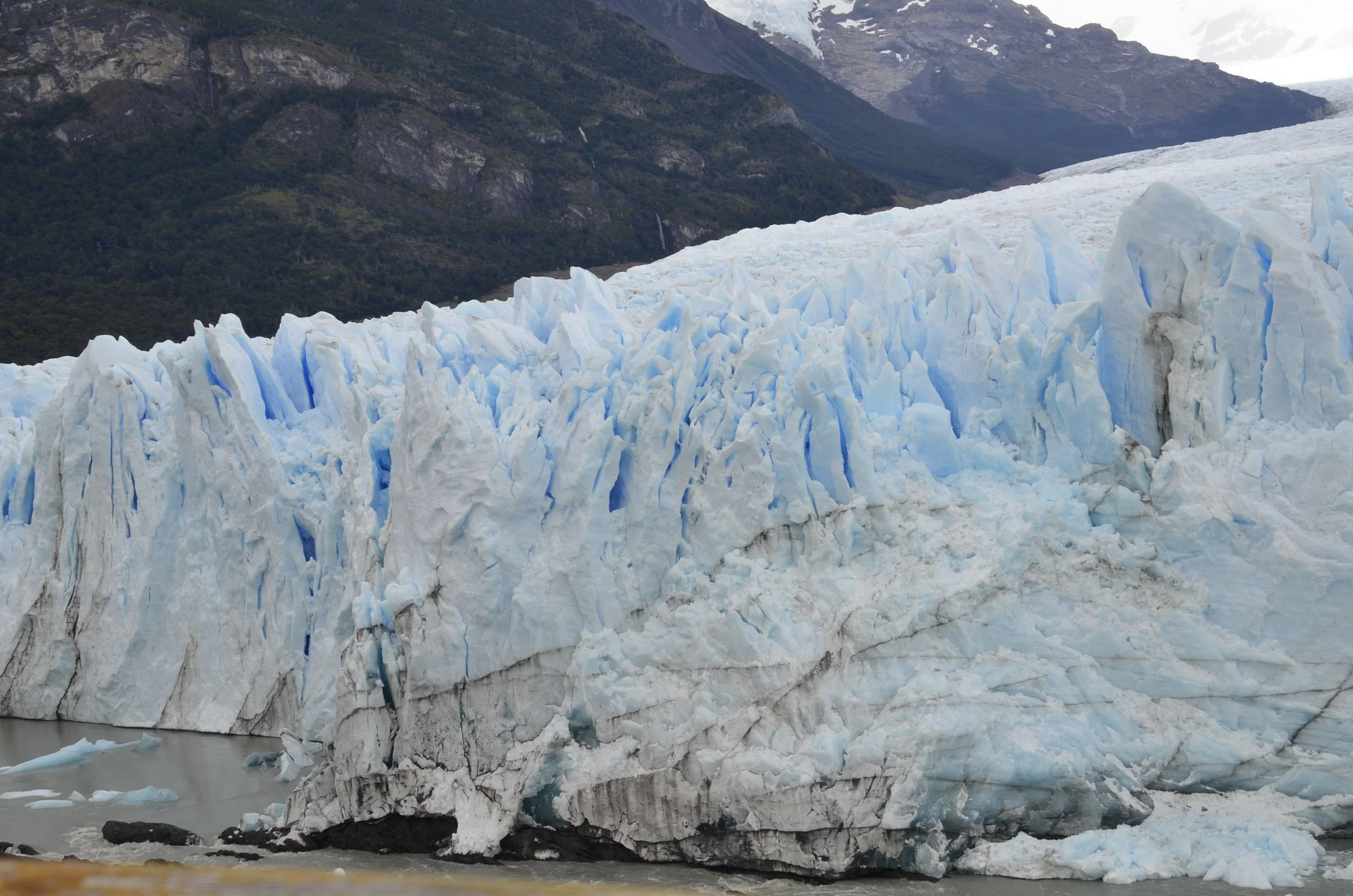
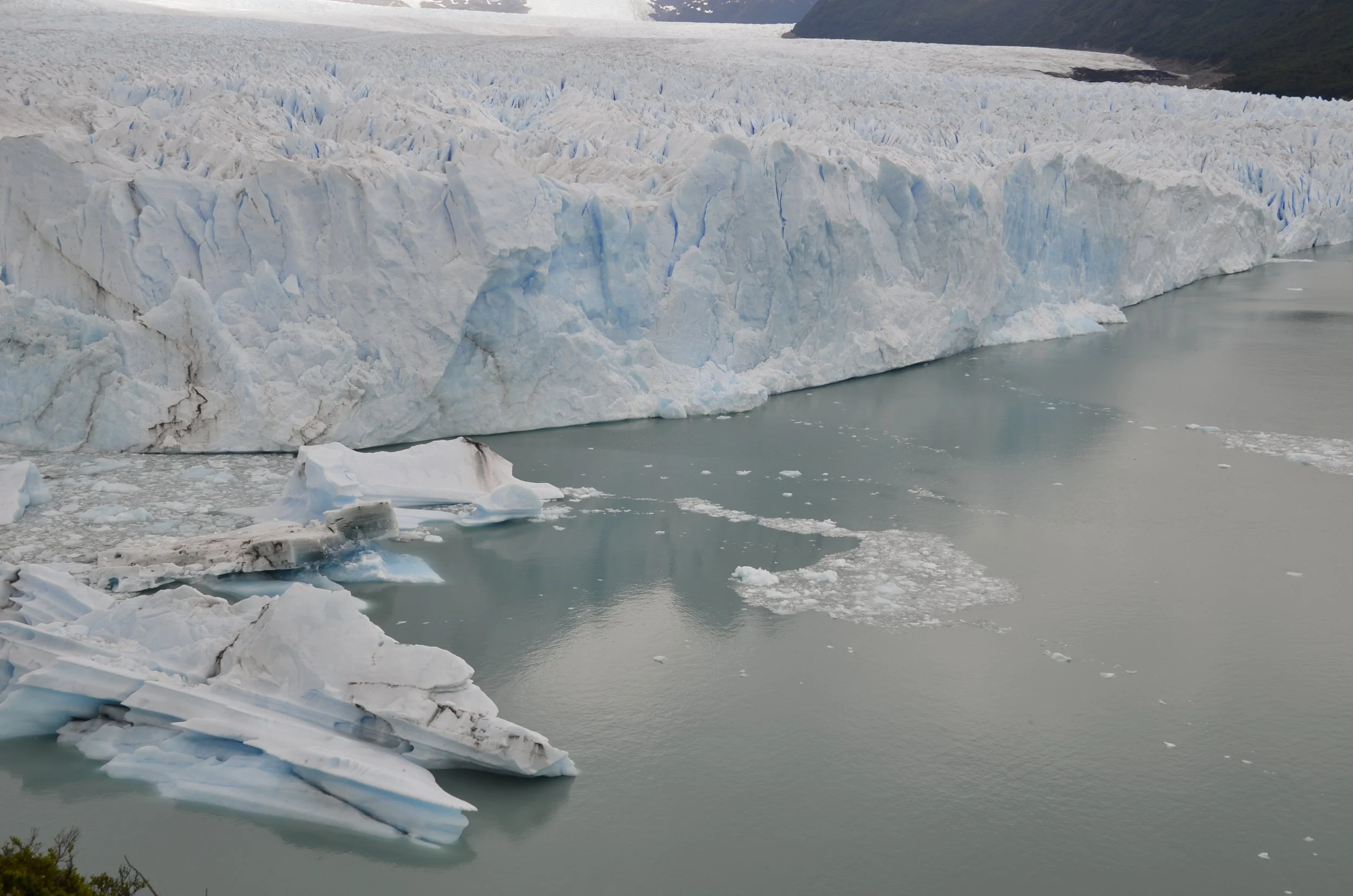
A Few Final Thoughts, Mainly on Driving Patagonia (from Steve)

At the beginning of our trip, we discovered that the effective exchange rate when we cashed in US Dollars at certain local stores or used Western Union to send Argentine Pesos to ourselves from the USA was nearly twice as good as we could get with our credit cards or at an ATM. So we decided to get enough local cash at the beginning to last us for a while. Unfortunately, the largest Argentine banknotes are 500 and 1000 pesos, so we exchanged $400 for this currency brick.

Luckily, by the end of our trip, the Argentine government instituted a new dollar exchange rate for holders of USA credit cards. This new fluctuating rate, which approximates Western Union’s, makes life much easier (and safer) for USA tourists.

Lisa may have mentioned that crossing the Southern Ocean on a cruise could be rough. If one were unaware of this, the crew’s provisioning of emergency supplies in the hallways provided a pretty good hint:

On the second or third day of the cruise, several people tested positive for Covid—despite predeparture screening, vaccinations all around, etc. Naturally, one happened to be the ship’s doctor! The situation was nicely handled. Despite being isolated and eating in their rooms, the unlucky people still got to go out on excursions—in a separate, albeit masked, group. As a result there was little reluctance to voluntarily test when another bug worked its way through the passengers later in the trip. Fortunately, after that first wave, the tests were negative for everyone (including Steve):

As you may recall, our first set of stops on the cruise was in the “Falkland Islands.” Oops—when in Argentina, notwithstanding the results of the 1982 “Falklands War,” those are the “Islas Malvinas.” And in case you might forget, there are recurring reminders—including in every national park:

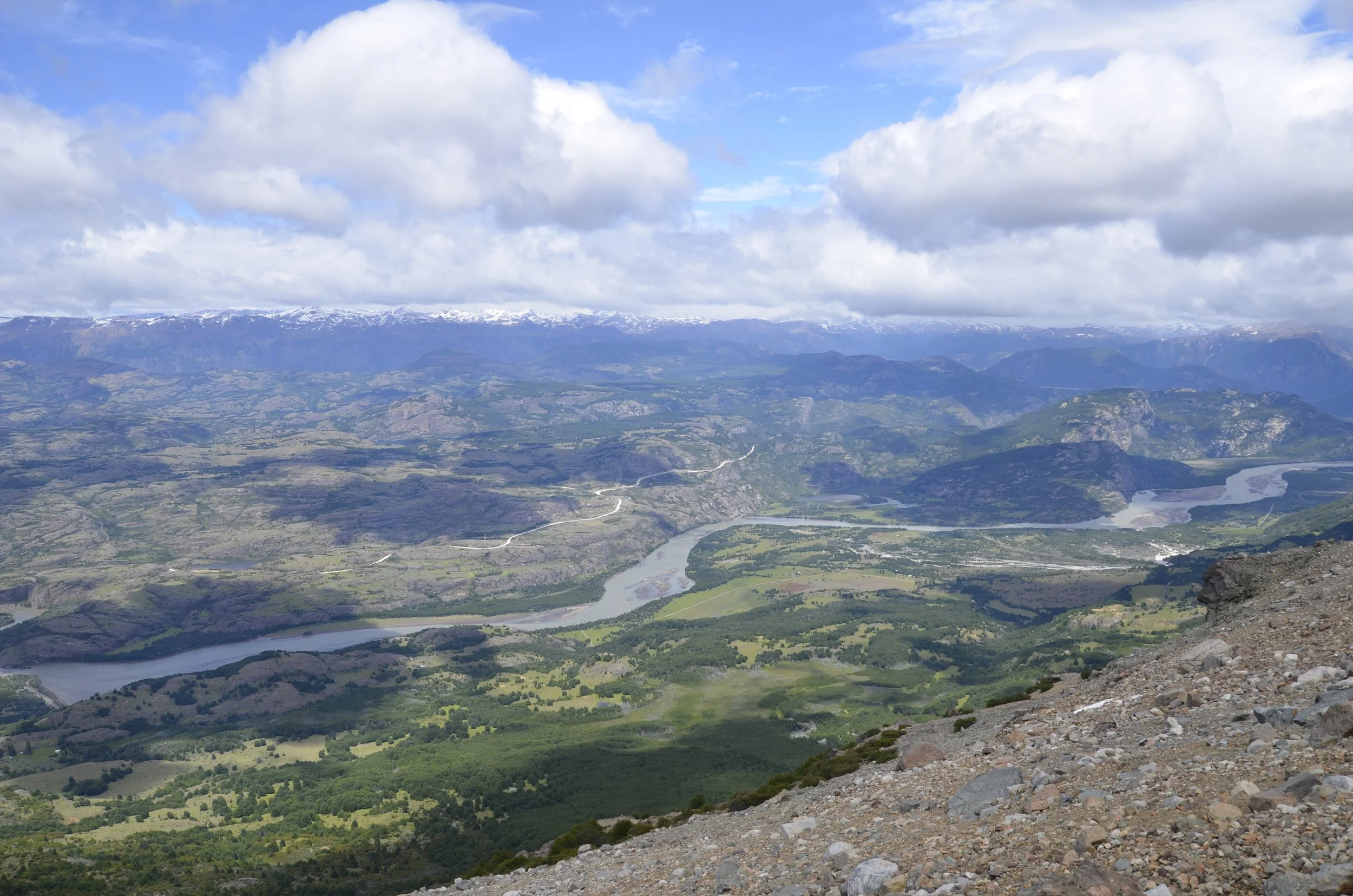
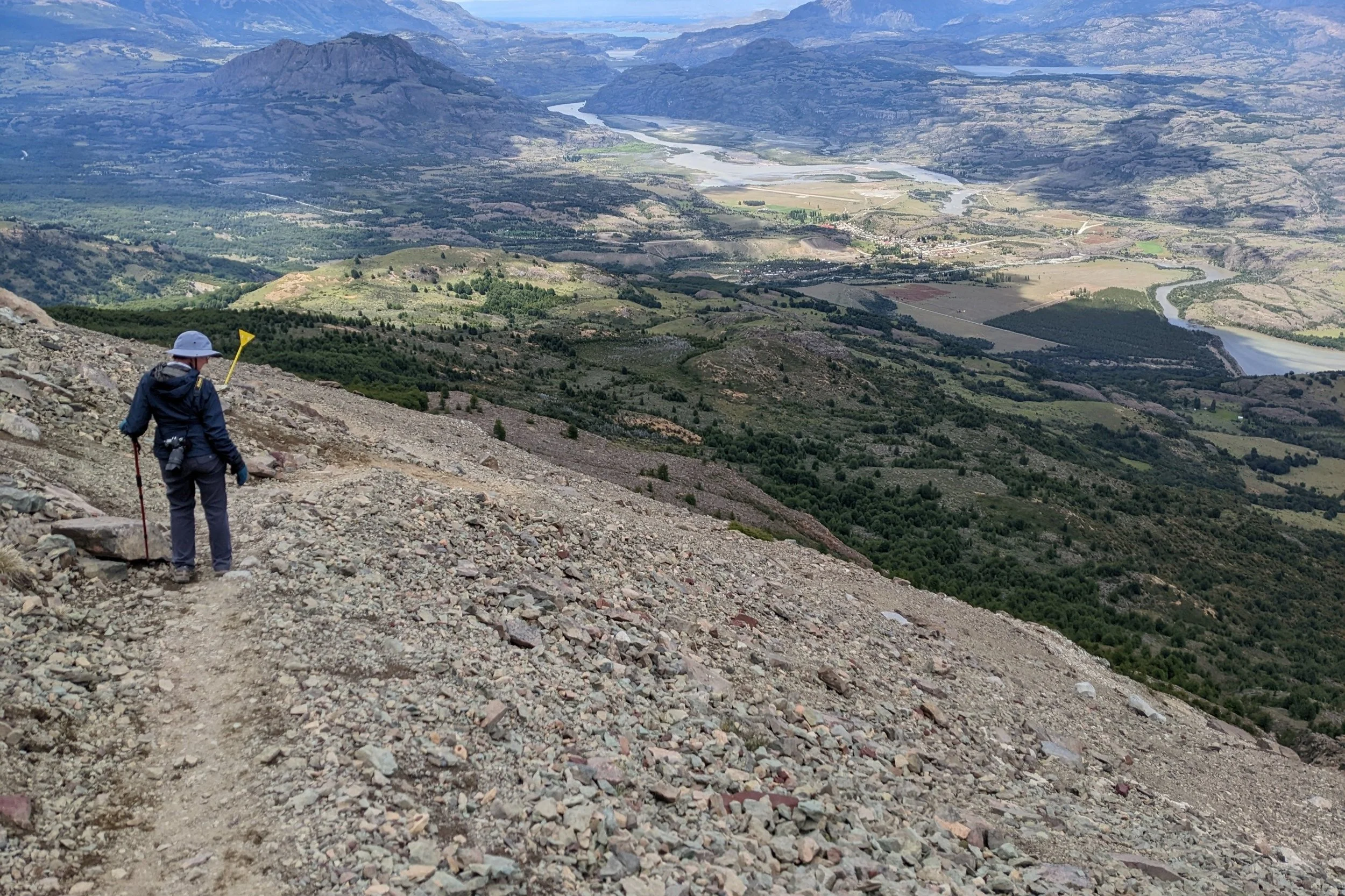
We ended up driving only 5130 KM (~3200 Miles), which doesn’t sound like much for 35 days.  But there were a few factors that made the trip seem longer. 

  • About half of the distance was on gravel roads—including most of the 1000 kilometers on Chile’s Carretera Austral (Ruta 7), the unpaved areas of which ranged from nicely graded, wide two lanes, to bumpy, loose gravelled, hilly, no-guardrail over the abyss, and maybe a single lane around a blind corner.

Actually, a decent stretch of road despite the potholes!

At one turn, we even had to put the truck in low 4WD to back up on a hill to make way for a semi hauling in road construction equipment! (No pic—our photographer had both hands holding on for dear life. 😊) 

  • After several days driving, we were excited to finally reach pavement!

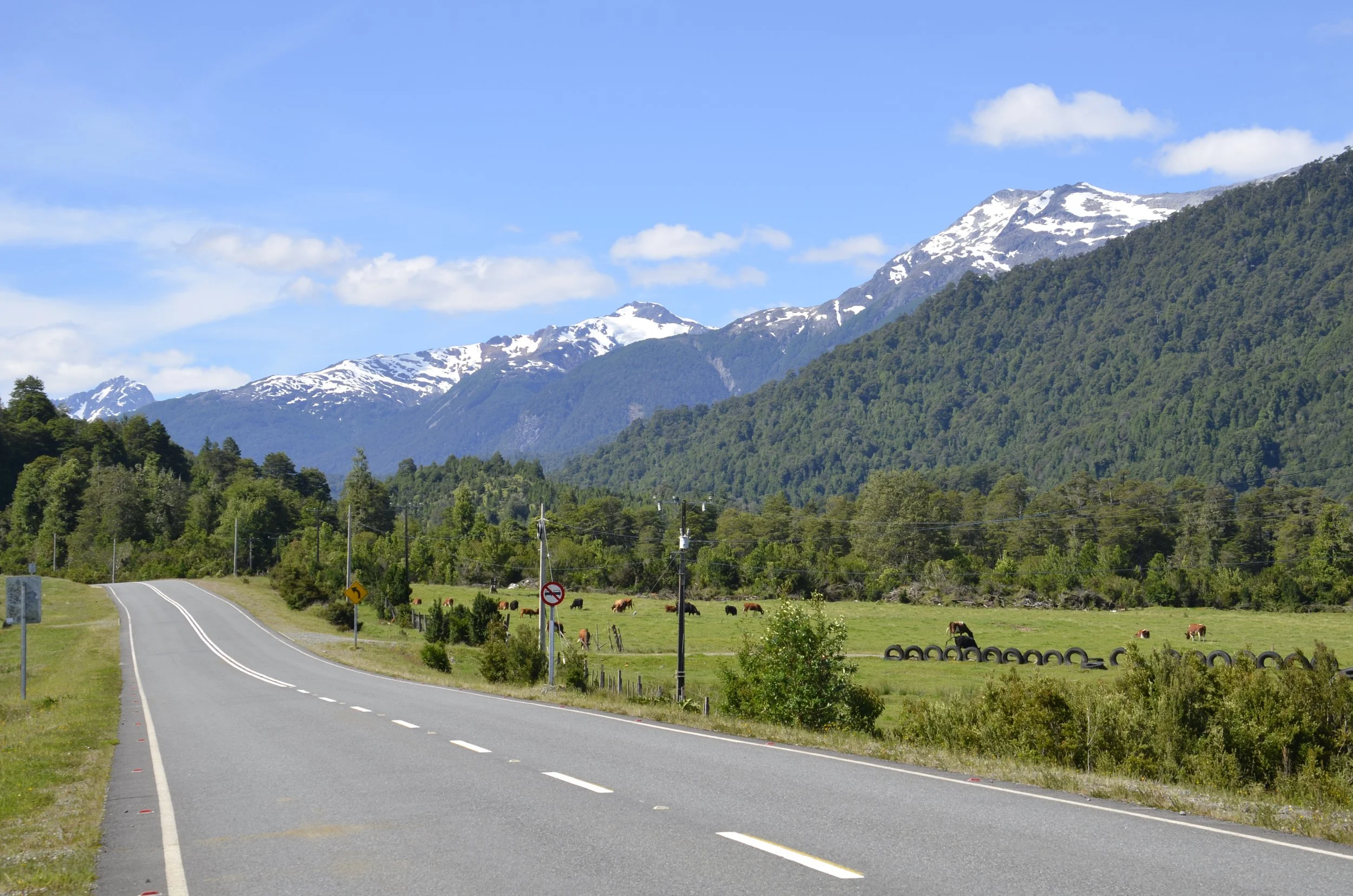
  • Unfortunately, this was a false alarm—we were soon back to potholed gravel. Finally, after a bit more than a week, on the outskirts of Puyuhuapi, we hit a 200 kilometer section of paved road and enjoyed back to back days of smooth sailing through jaw-dropping scenery!

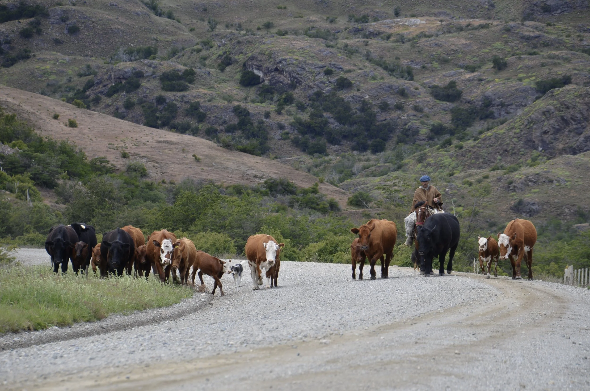
  • Another reason the distances seem longer is the fact that you are sharing the road.  Lisa’s already shared pictures of gauchos (and their dogs) herding cattle down the road, as well as the unattended herds of goats, sheep, and cattle that find it easiest to move via Ruta 7.  But, there also were some of the most dedicated/insane bicyclists that we have seen on our travels:

Some people ride the entire 1250 kilometers of the Carretera!

  • The sections of Argentine Ruta 40 that we drove, on the other hand, were mostly paved (although one 70KM stretch of gravel “under construction” stands out), and it has a 110 KPH speed limit!  The gotcha, at least in the far south, is that there are many, as in a lot, of potholes and abrupt changes in pavement level.  The passenger side of the truck sometimes would voice surprise and objections when these discontinuities were hit at highway speeds, or when the truck swerved to avoid them.  😊 Thus, the distance covered seemed to be more than it actually was.

  • A quick aside—reminiscent of Wall Drug in South Dakota, La Leona sits midway between El Calafate and El Chaltan on Ruta 40 (and is the only stop between the two!). It touts two things: 1. It is where  the infamous US outlaws Butch Cassidy and the Sundance Kid hid out for a year in the early 20th century; and 2. Its Famous™ Lemon Pie:

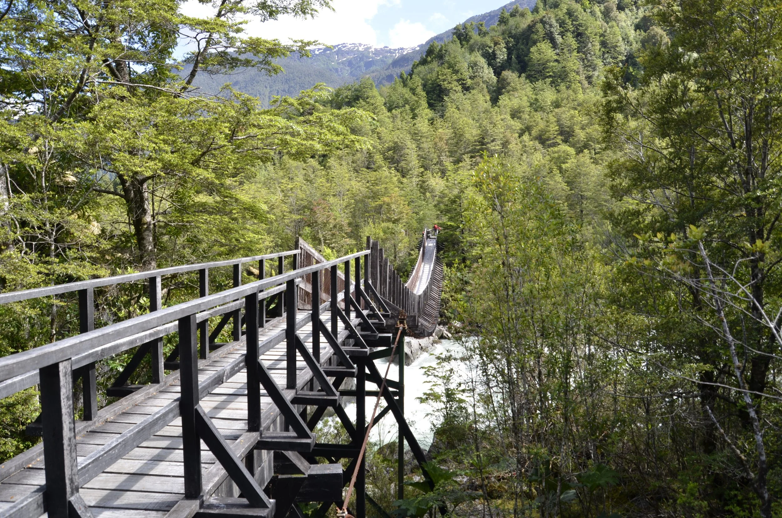
Note that, at least for now, the traffic volume on the Carretera is so light that you eventually have to remind yourself to be careful when stopping the middle of the road/bridge for your photographer because, unlikely as it might be, there could be other vehicles in the neighborhood. 😊

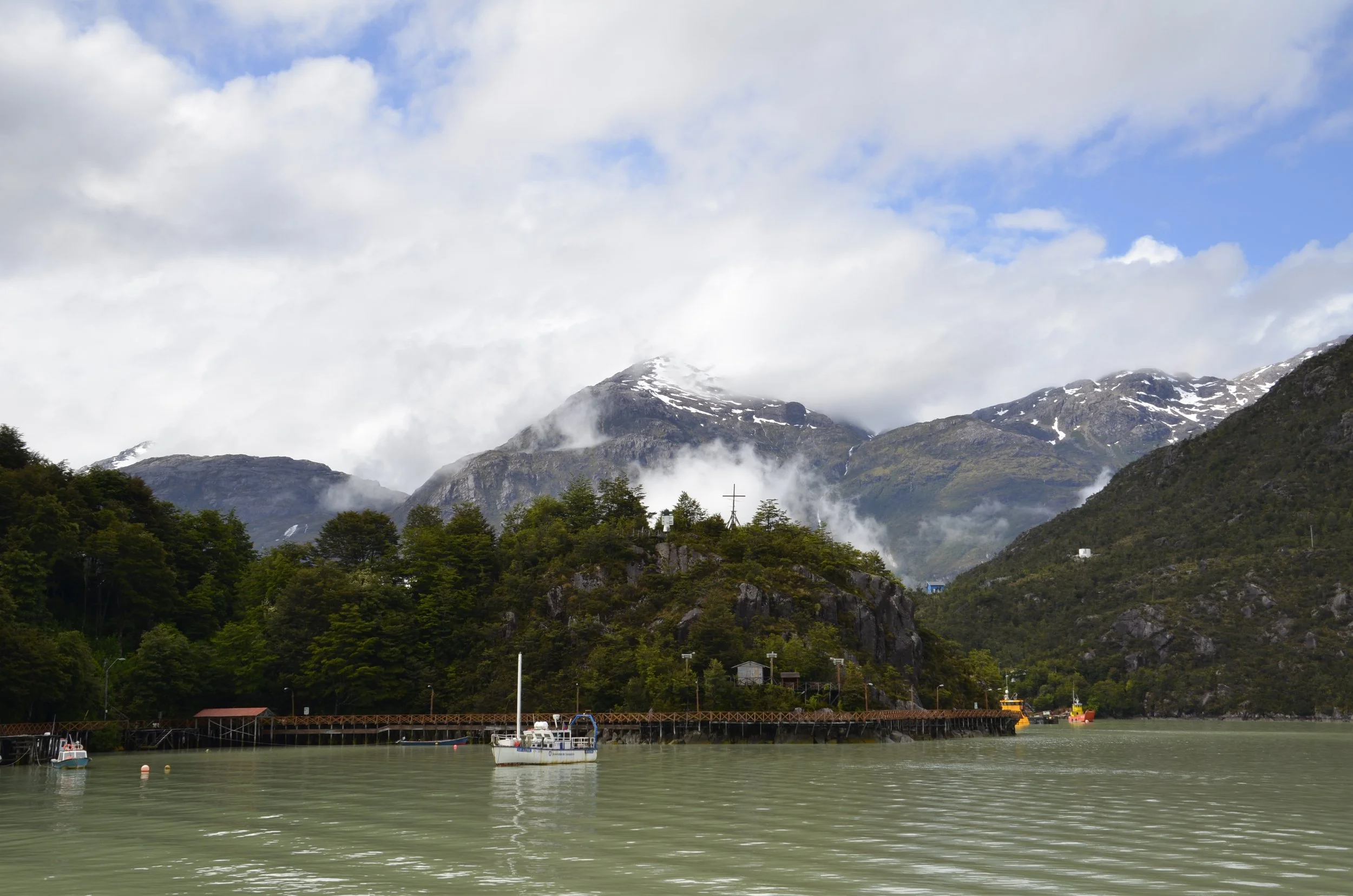
The Carretera Austral, which some call the “Most Scenic ‘Highway’ in the World,” has a very interesting history. After his coup, General Pinochet decided that Chilean Patagonia needed to be linked to the rest of the country by an internal road so that troops could be more quickly deployed against Argentina if necessary. Prior to that point, any road connection to the more populated sections of Chile necessarily involved crossing to Argentina—and a good number of towns were accessible only by ship. Construction, which involved more than 10,000 Chilean military personnel, started in 1978, and the final town connected to date, Caleta Tortel, had its branch road finished in 2003 (electricity and, finally, internet were later additions—the latter of which within just the past five years or so). Even now, if one wishes to drive all of the now existing 1250 kilometers, there are several required ferry crossings—one of which is 110 kilometers in length. Finally, note that construction has not stopped. In addition to the ongoing attempt to pave the road, it is being extended another 935 KM (581 mi) to Puerto Natales—which will involve another 9 (!!) ferry crossings. Needless to say, this is a very spread out, mountainous, and water-filled area.

The future of Ruta 7 is intriguing. It is the core of Chile’s planned “Ruta de los Parques,” which will be 1700 miles long, connect 17 national parks encompassing 28,000,000 acres, and constitute about 1/3 of the entire country.  https://www.rutadelosparques.org/en/who-we-are/ This project will be a boon for adventure travelers and those who wish to see vast tracts of land in their natural state. Politically, the extensive park designations have been made relatively easy because of the extremely low population of the region. Settlement was late and slow—references to “the pioneers” can refer to settlers of the 1940s and even later. (The Parks project has also benefited from extensive funding and planning by the founders and executives of the North Face and Patagonia clothing companies.)

Consistent with the low population and relatively low levels of tourism, gas stations are WIDELY dispersed along the Carretera. Outside of maybe two towns, we didn’t see stations less than 100KM apart (and sometimes much farther). Fill up early and often if you drive here. (Maybe consider getting the tank “Full, Full,” which involves the attendant rocking and shaking your vehicle to get an extra 2 or 3 liters in the tank!)

Grocery stores were somewhat easier to find (if you include minimarkets), but it was still safer to stock up on all your necessities whenever they were at hand:

(we were fully stocked on our lunch staple of PB&J, so that wasn’t part of this shopping run)

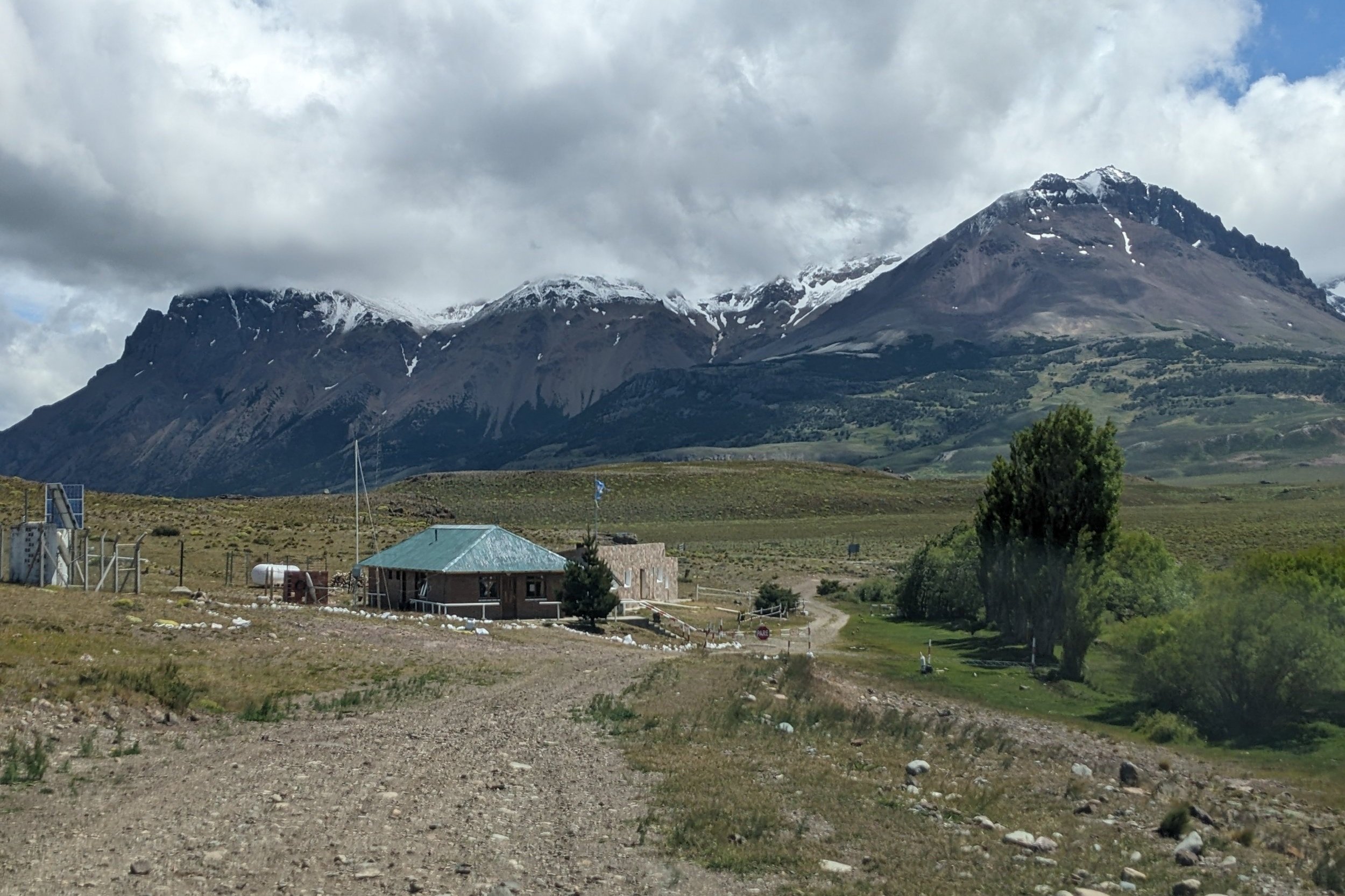
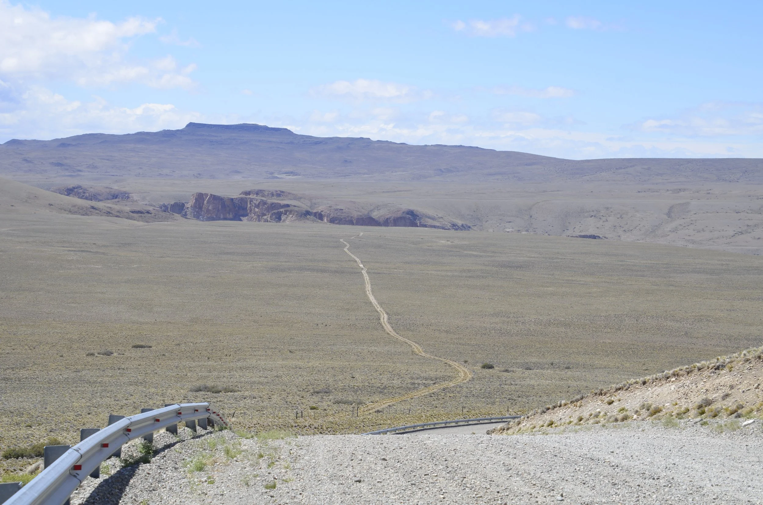
There were no easy routes from Ruta 7 to Ruta 40; rather, border crossings might involve a couple hundred kilometers on gravel roads that, even for south Patagonia, were lightly traveled. In fact, we wondered just how badly one would have to irritate superior officers to get assigned as a border guard at some of these stations! 

Beautiful views, 2 hours from nowhere….

It wasn’t until we were near the end of our driving and crossed over toward the Argentine resort towns of Bariloche and San Martin de los Andes that we encountered a border crossing that was serviced by paved roads on both sides of the border.  Unsurprisingly, those towns didn’t feel like “Patagonia” to us.  They had shopping streets with good wine stores and even fancy chocolate shops:

Although the traffic in south Patagonia was sparse, it clearly exhibited a broad range of spending.  If you want to do it right (and don’t mind an empty bank account), you should look into something like this:

We were unaware of the existence of these “Expedition vehicles” until this trip, when we saw a dozen or so of them. They look like a semi when they come around a corner, are reminiscent of a SWAT command vehicle, and are designed to take you basically anywhere in the world.  They sleep up to six, are self-contained, can cross 3-4 feet deep streams, and apparently can command a 7 figure US Dollar purchase price!  (Interestingly, one of the preeminent manufacturers is in Springfield, MO—Lisa’s hometown.)

At the other end of the spending spectrum, hitchhiking is extremely common, and according to a couple of young women that we talked to (one Columbian, one French), it has a reputation of being safe even for solo females. Bus service is also really good around and between the hiking meccas of El Chalten and Torres del Paine--we were amazed to find Bus Sur coaches waiting at the ferry dock when we came back from a hike at the latter!  Thus, the trip can be very affordable and still convenient.  (But the distances can be daunting once you leave the hiking meccas--our eldest son and his wife had an 18 hour bus ride in this area. And we are not certain about the reliability of bus service on the Carretera….)

We were surprised at the historic German influence in Chile’s southern seacoast and into the Lakes region just to the north.  Both regions received many German immigrants in the late 19th and early 20th centuries--and from the 1850’s until at least the 1920’s, Chile subsidized the settlement of Germans in the south so as to bolster its position against Argentina.  (Interestingly, Argentina was doing the same thing during this period!) As a result, it is not unusual to visit a small town or city on either side of the border and see German names on businesses (“Schilling,” “Blumenhaus,” and “Hopperdietzel,” for example).  In fact, Puerto Varas, founded for Germans in the 1850’s, includes 2 typical German Eagles on its coat of arms, has a “Club Alamen/Deutscher Verein” restaurant, and has numerous roadside stands and restaurants advertising their “Kuchen.”  At times, we almost felt like we were in Missouri wine country!

Finally, we found it interesting that every bridge—including many that you wouldn’t even register as a bridge, bore a nameplate identifying the structure itself and the river or arroyo that it bridged. Frequently the bridge would be named after a local notable, such as Señor Hopperdietzel.  The most common name along the Carretera Austral though is:

(Borrowed from Mapio.net)

If you knew no Spanish at all you’d think that Señor “Sin Nombre” had to be the most important figure in Chilean history—even beyond General Jose Carrera and the lauded Bernardo O’Higgins. In reality though, “sin nombre” just means “without name.”

So, that’s it for this trip.  As you can probably tell, we really enjoyed it, and would recommend Patagonia to anyone looking for an adventure!

Conguillo National Park

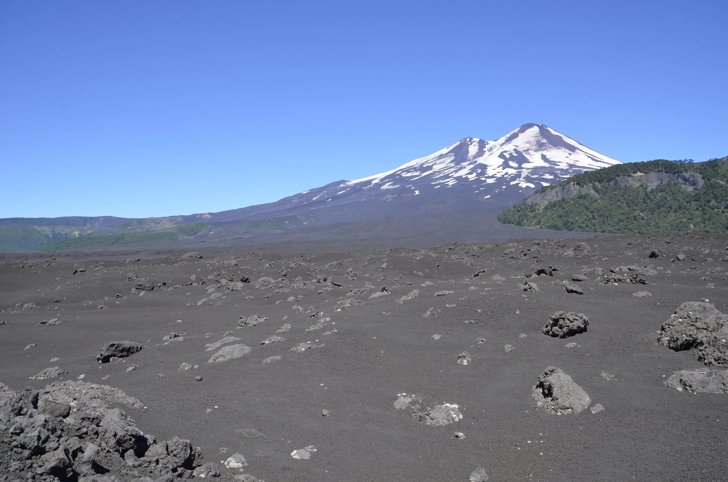
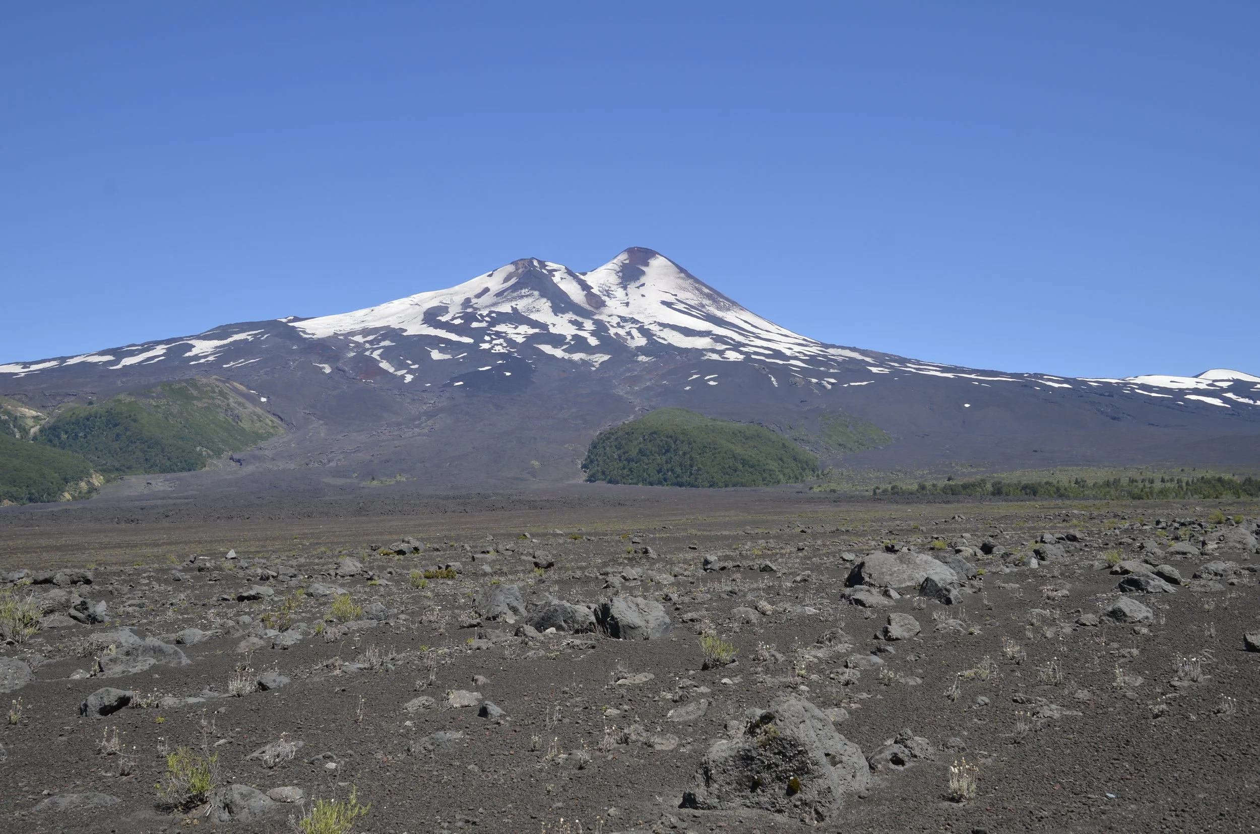
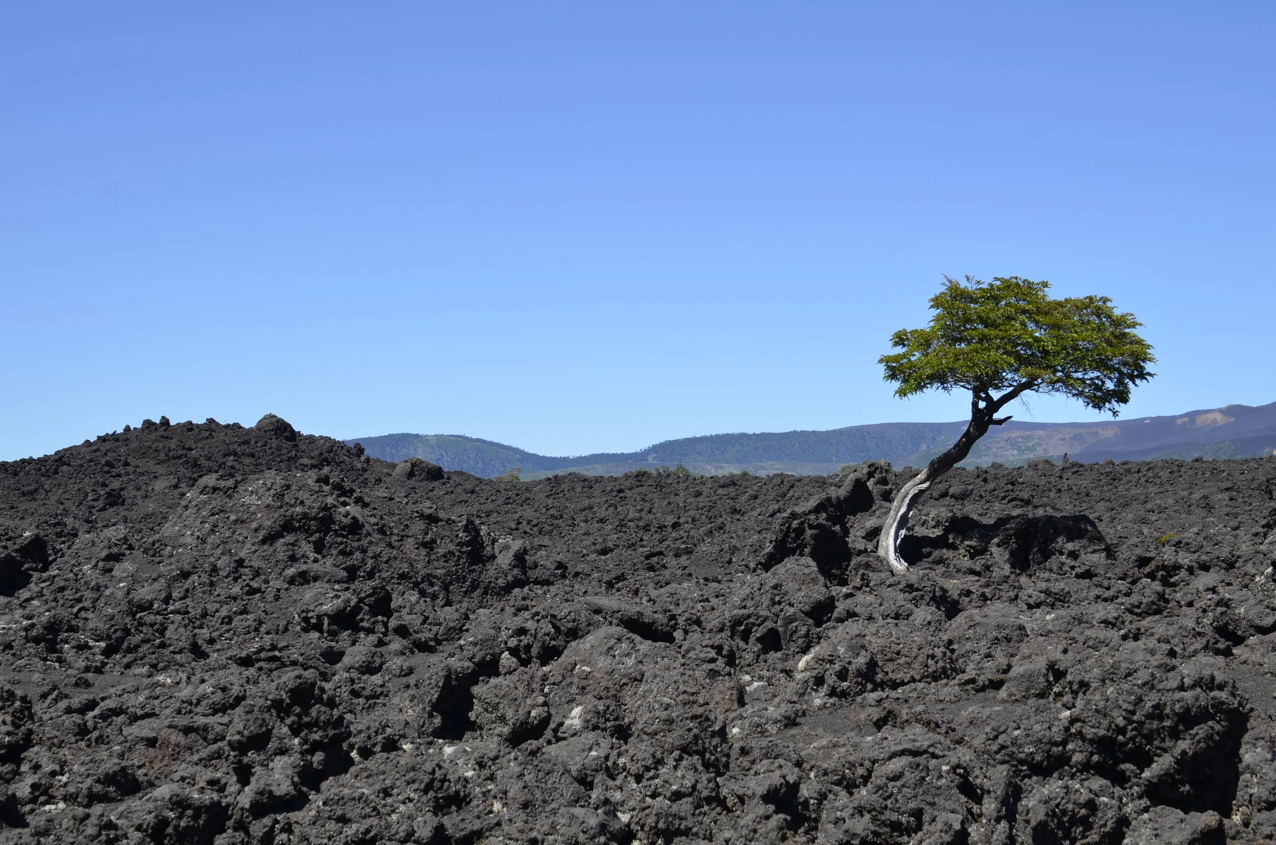
For our last full day in Chile, our travel agent had given us a choice of relaxing at a lake, or if we weren’t “volcanoed out”, we could visit one more national park. Guess which one we chose? We LOVED our decision. When we first drove in, we were immediately captivated by the desolation from previous volcanic eruptions (the last of which was in 2008) -

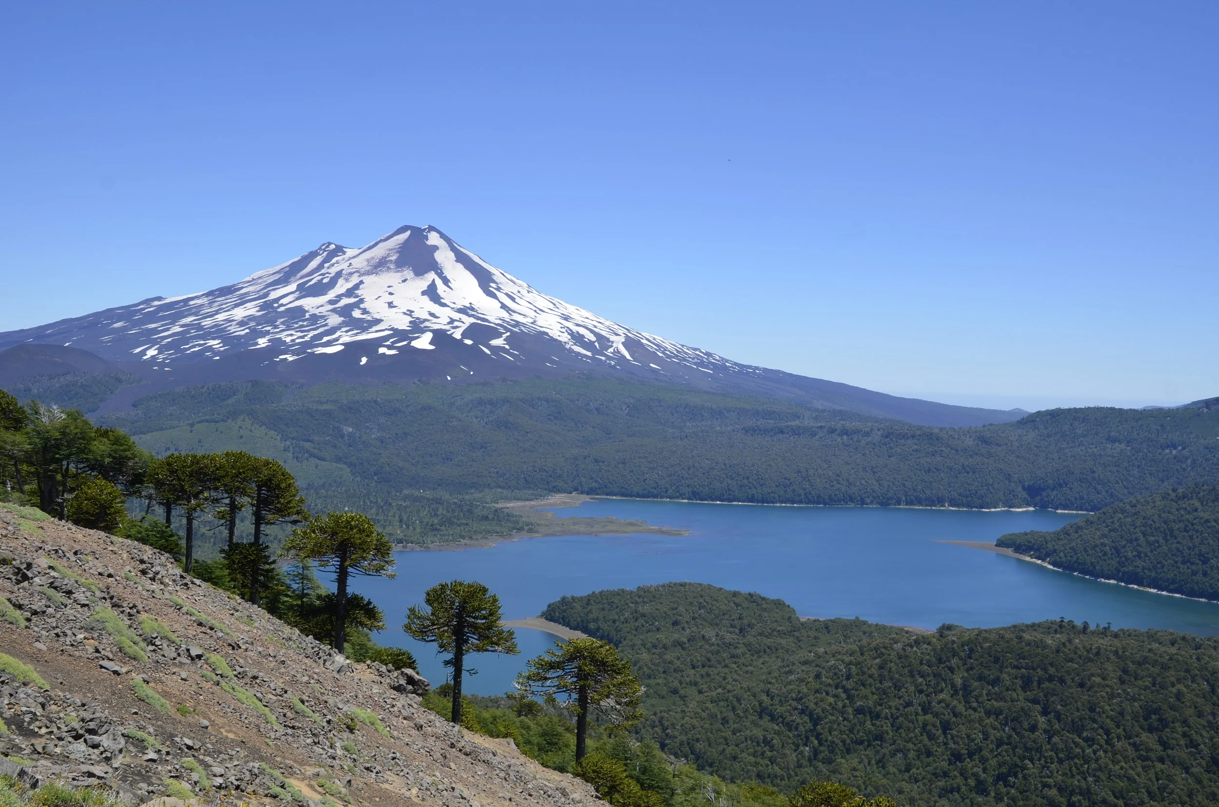
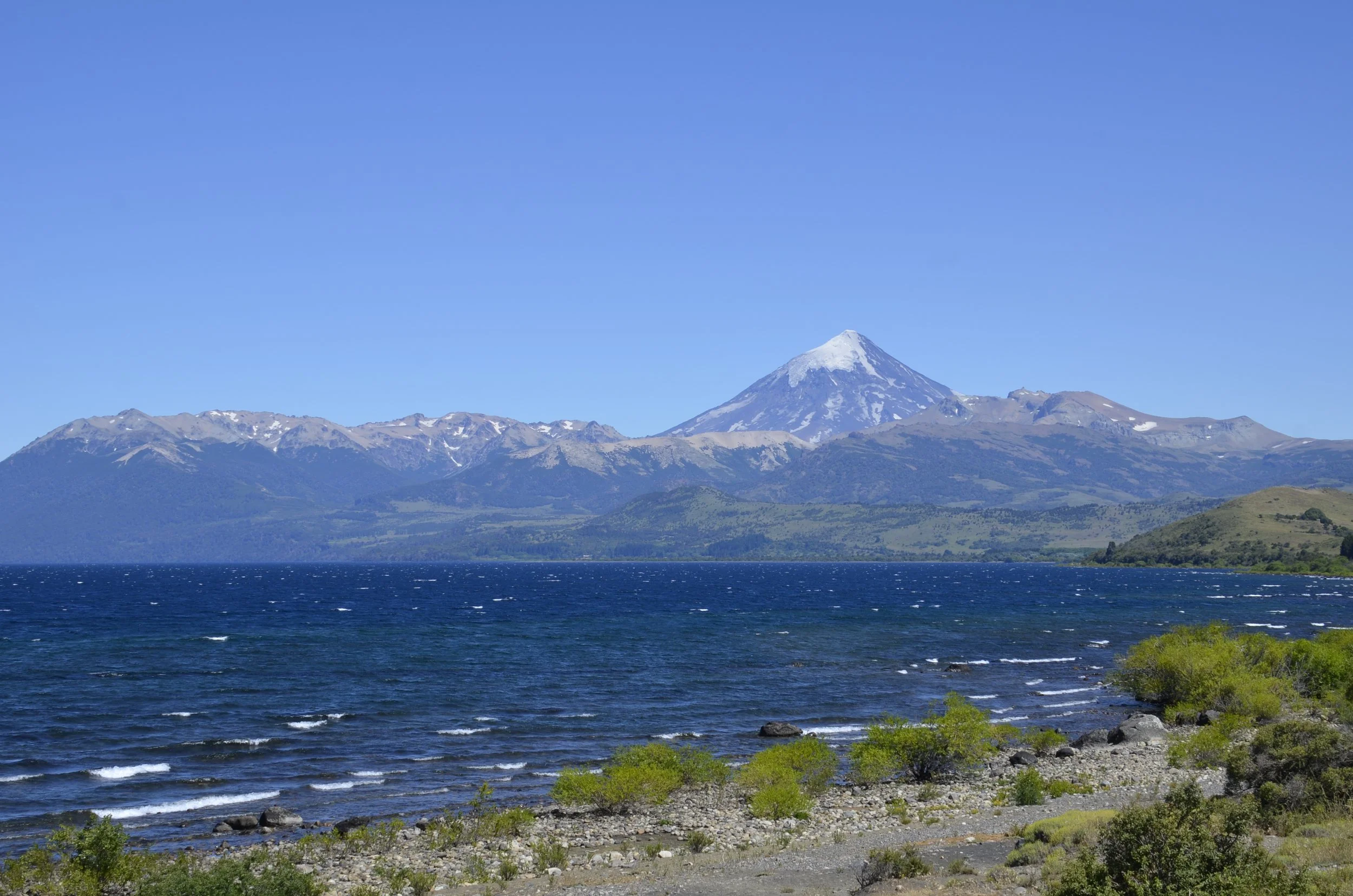
Llaima volcano is considered one of the most active volcanoes in Chile -

Of course we went hiking one last time, and enjoyed walking through a cool, shady forest canopy at first -

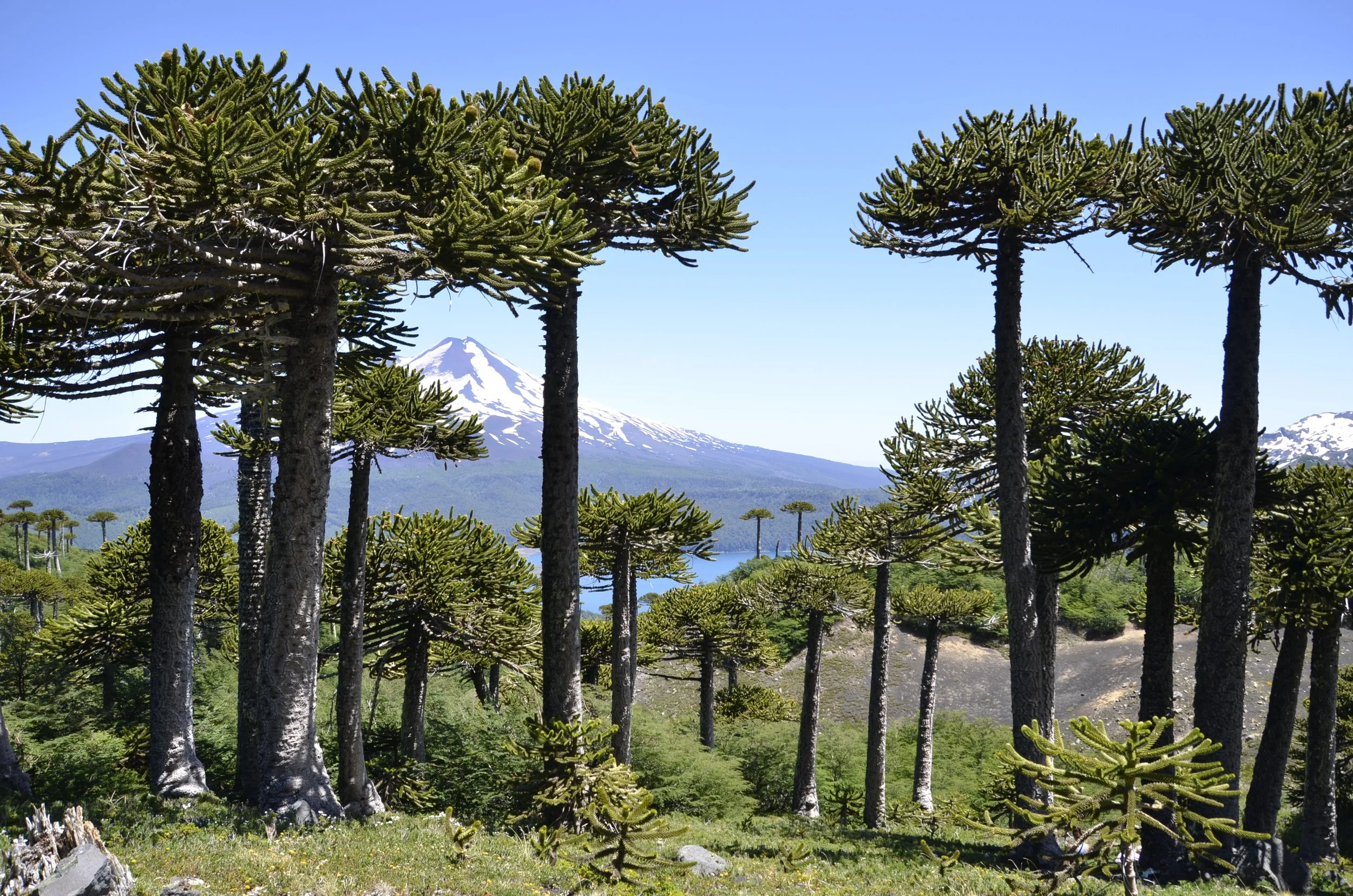
… and yes, there were Arcuaria trees -

It was neat to see a young one up close, and see how/where the branches form -

As we gained altitude, we caught glimpses of what we’d be seeing at the top viewpoint -

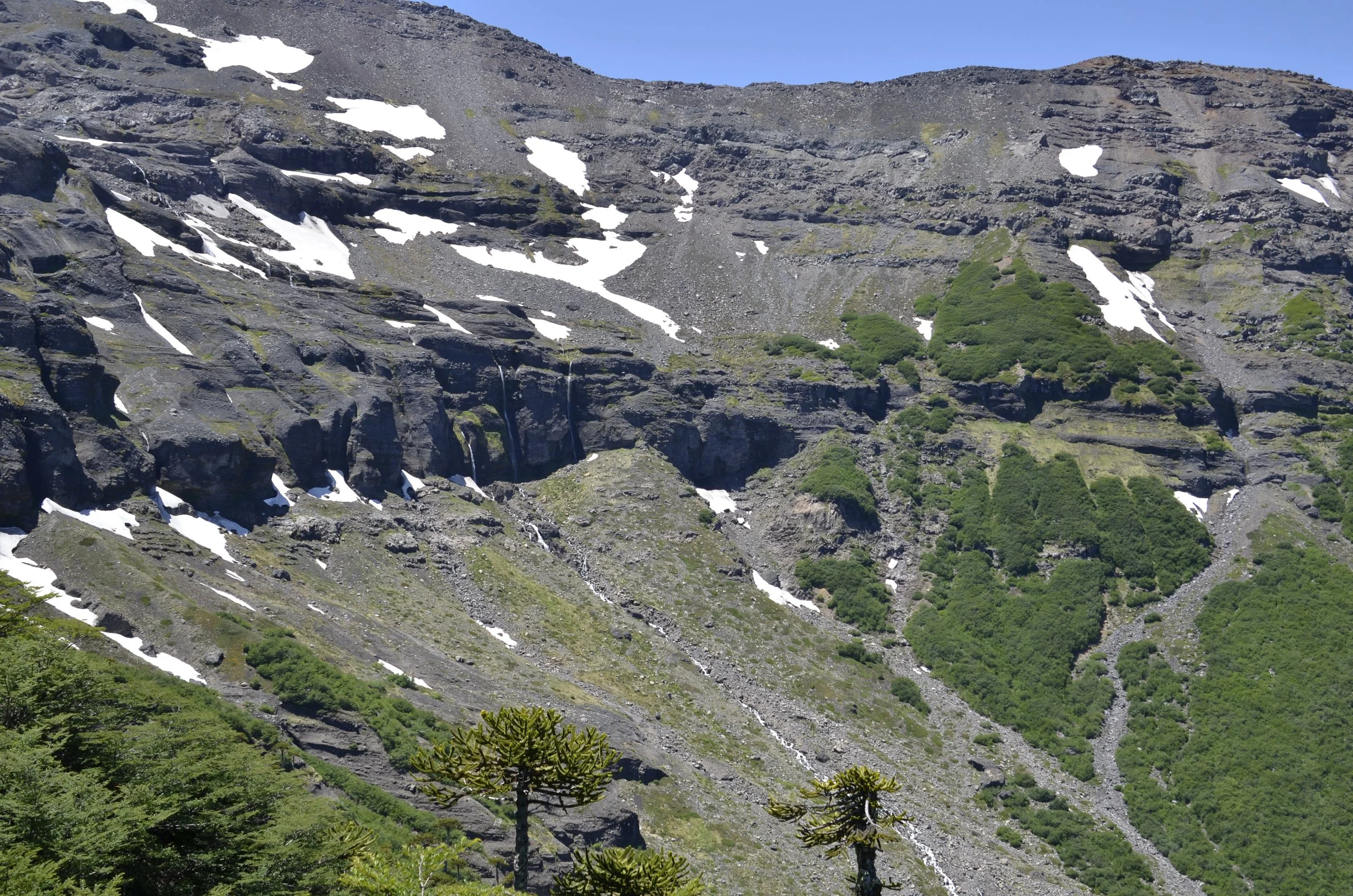
Off one side of the ridge we were hiking, was a deep valley with numerous waterfalls…

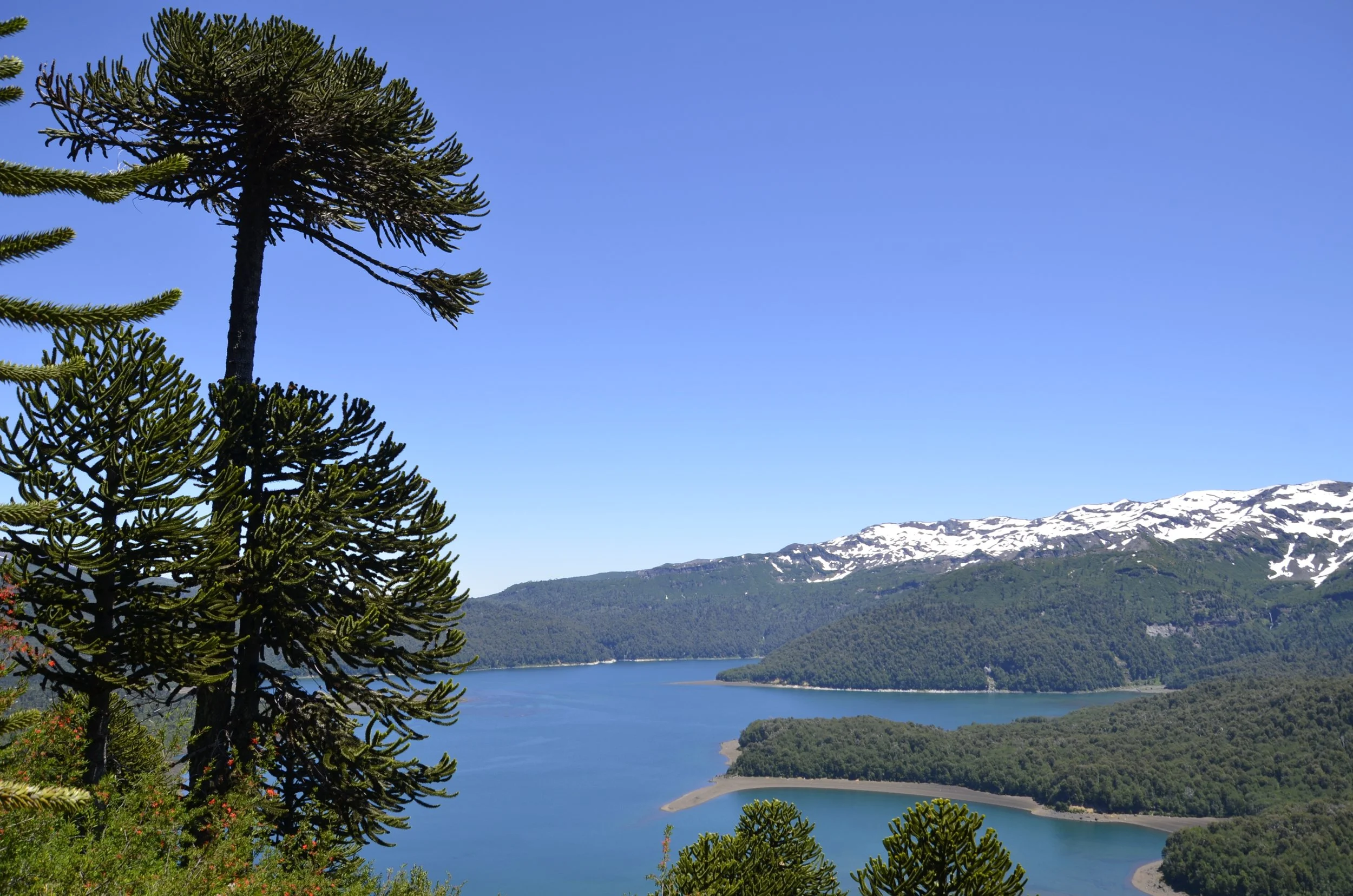
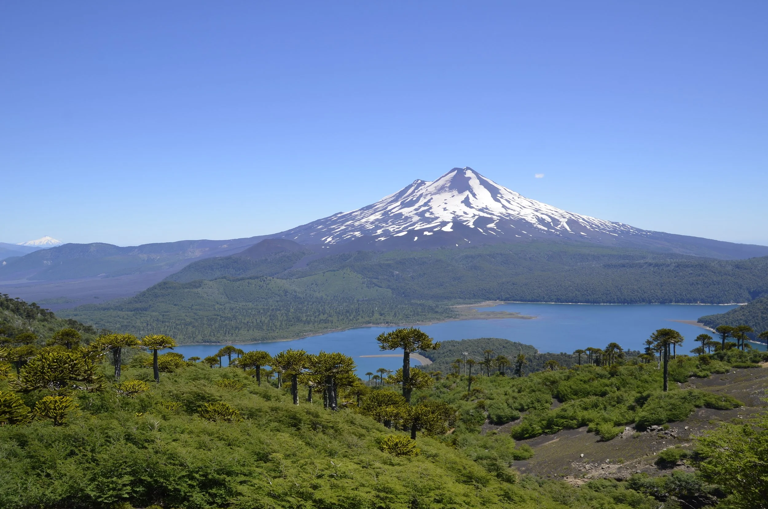
… and the other had Llaima volcano and Conguillo Lake -

You can see why Arcuaria trees are also commonly referred to as “umbrella trees” -

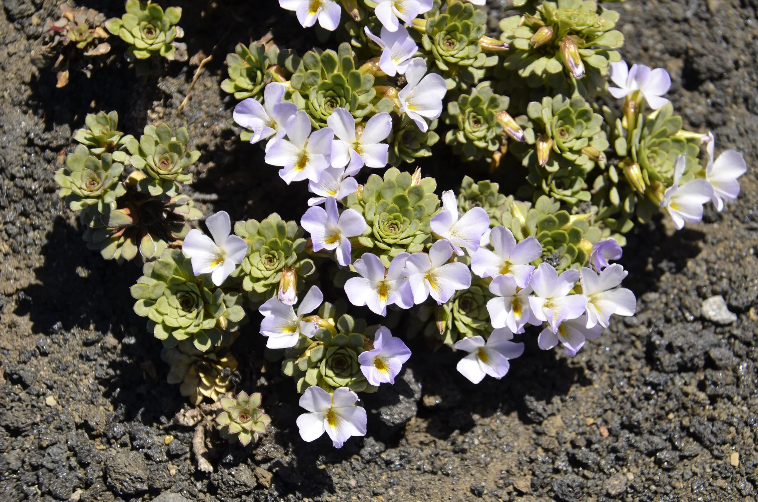
Near the top, we suddenly started seeing interesting…

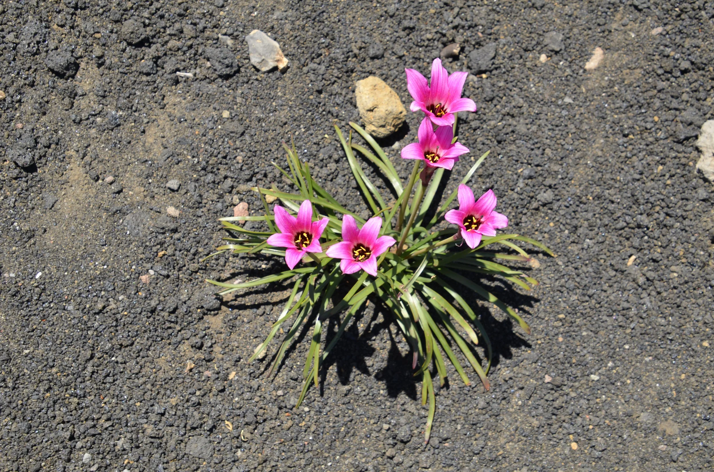
… and beautiful flowers -

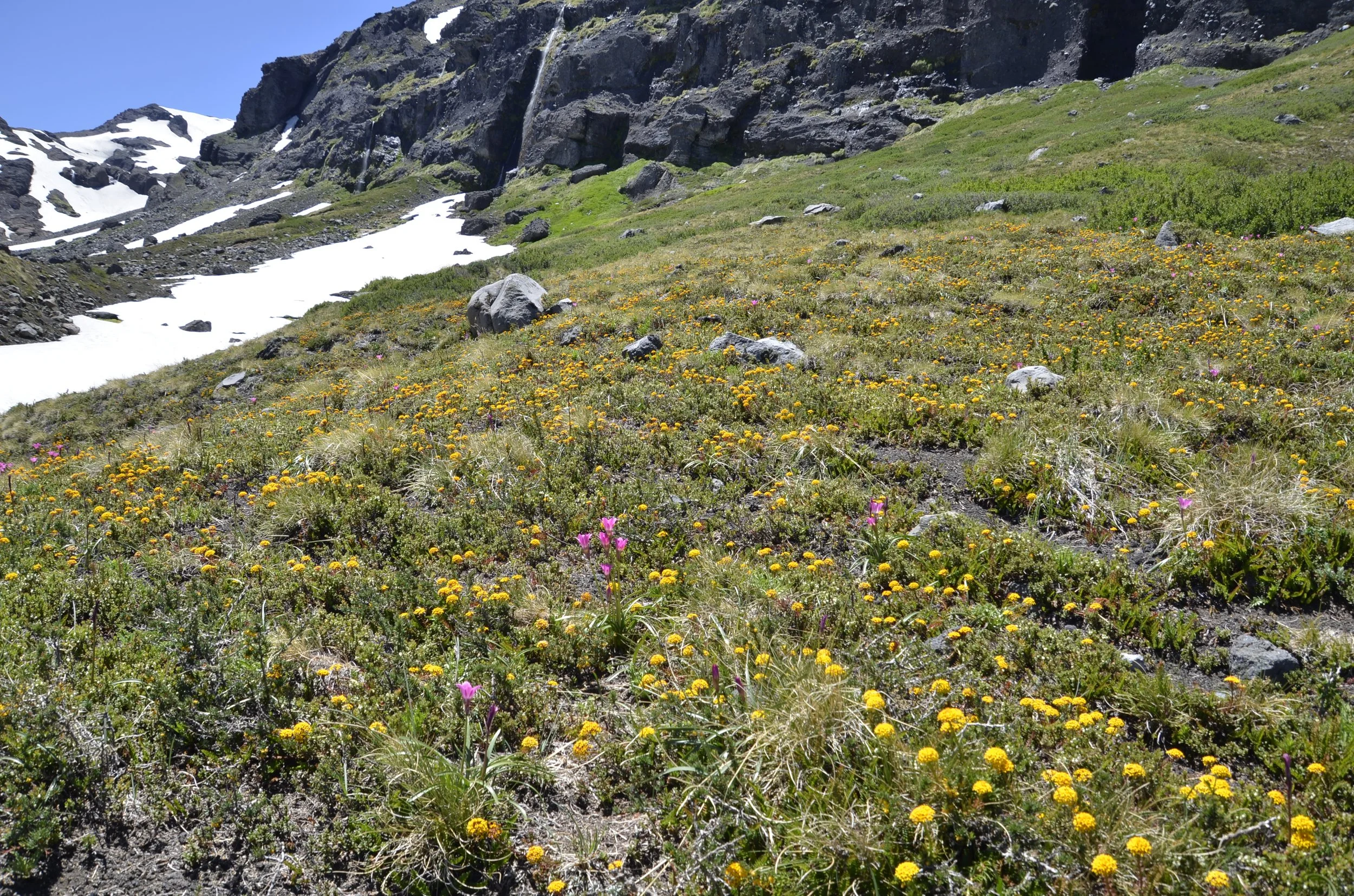
I loved this wildflower field -

Do you see the “tiny” volcano on the left side of the next picture? That’s Villarica, about 100 km away. It was the one that Steve photographed glowing at night.

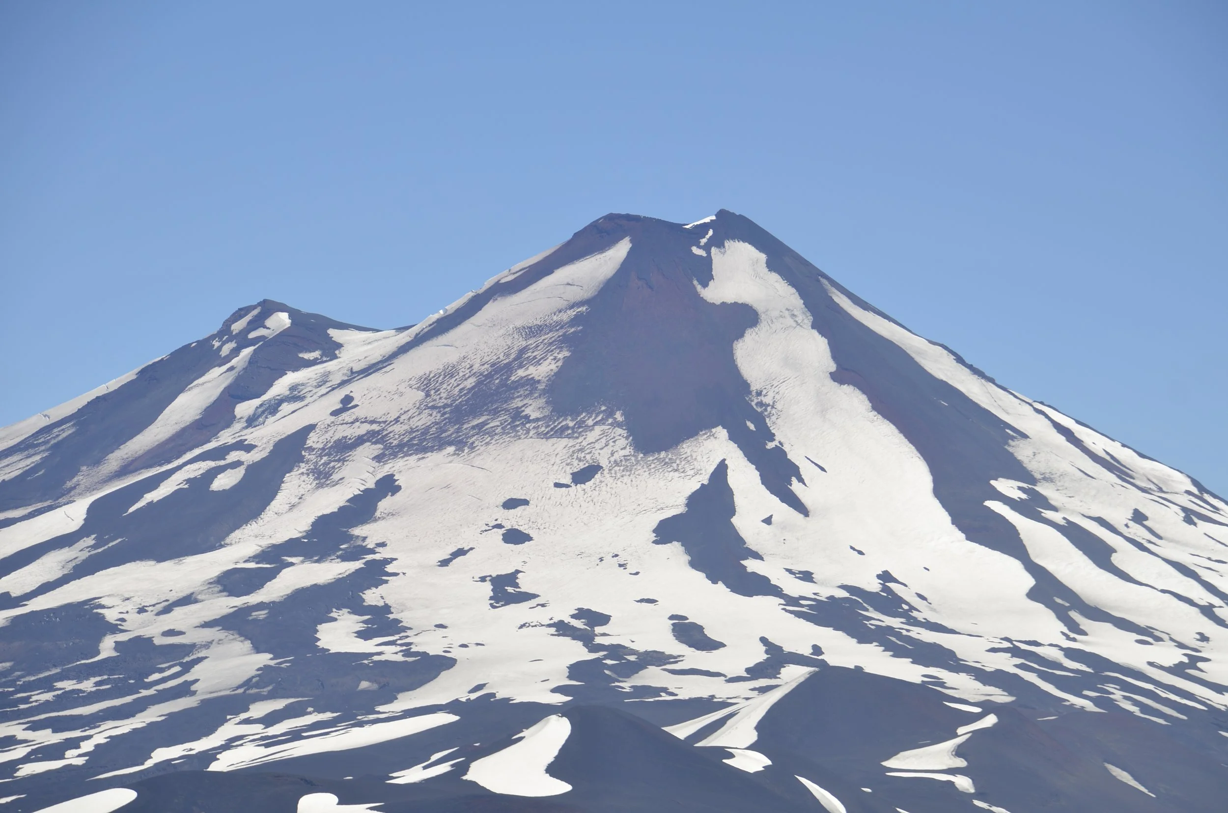
I loved being able to take close ups of Llaima -

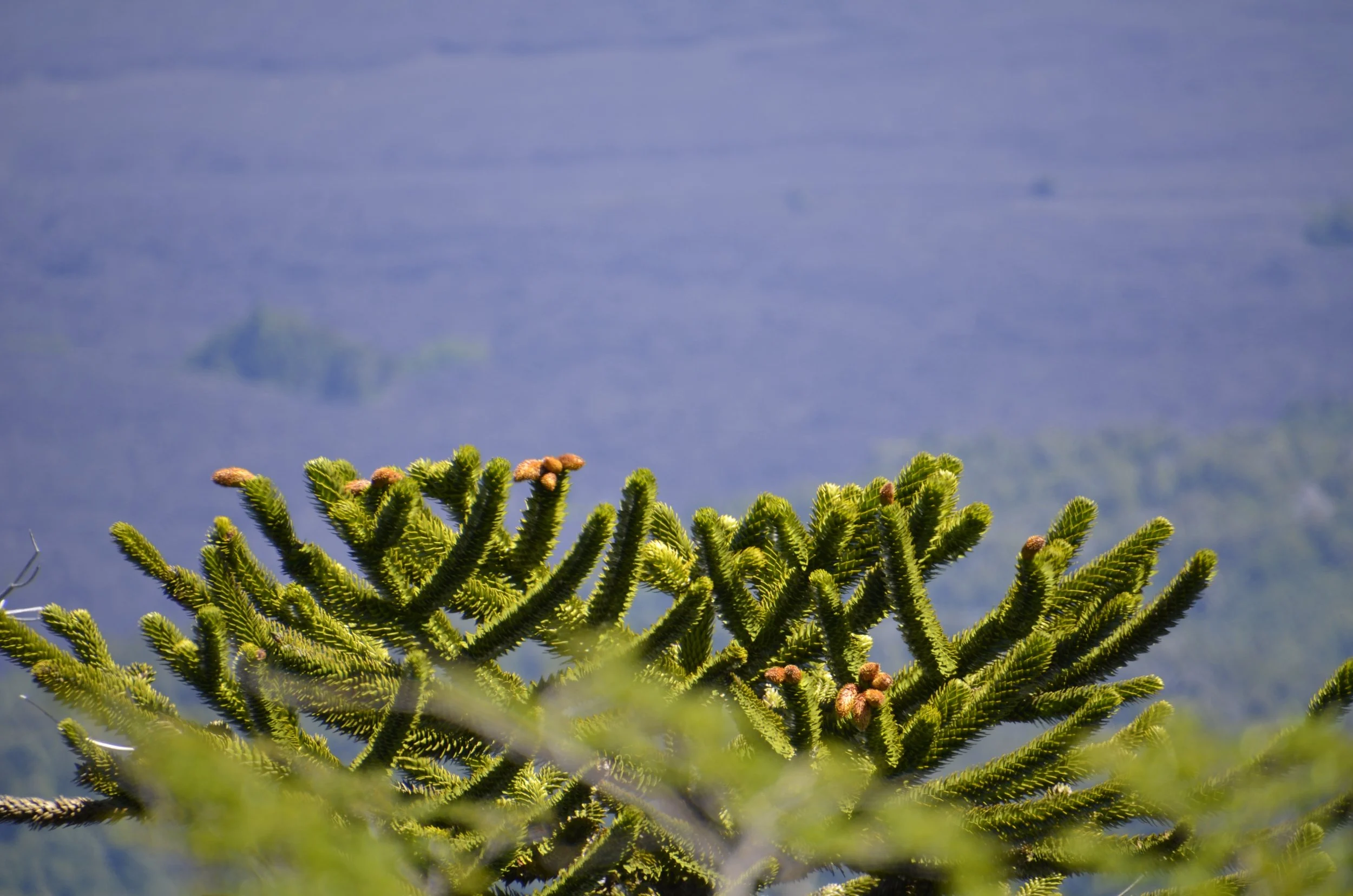
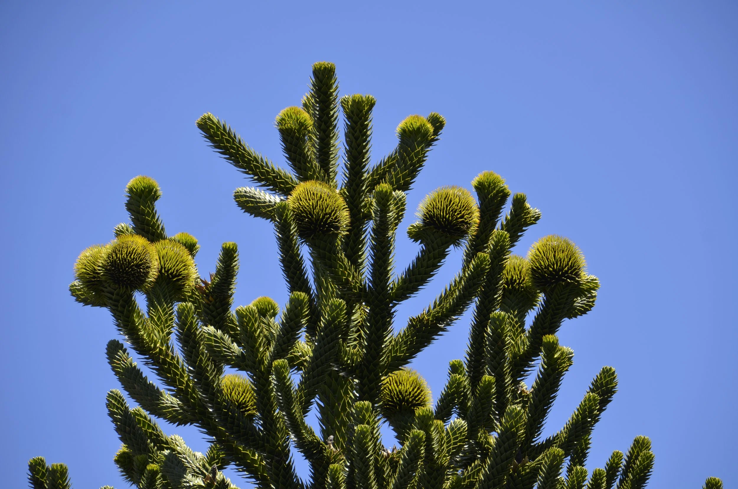
On our way down, Steve pointed out these interesting bodies at the top of this one Arcuaria -

Upon researching this I found out that these are male cones, while the big green balls I had photographed before were female cones.

Since I have always documented our hikes by length and altitude, I’ll do that one last time here. This trail, Sierra Nevada, took us 4 hrs to cover 8 miles and a little over 2,000ft elevation gain.

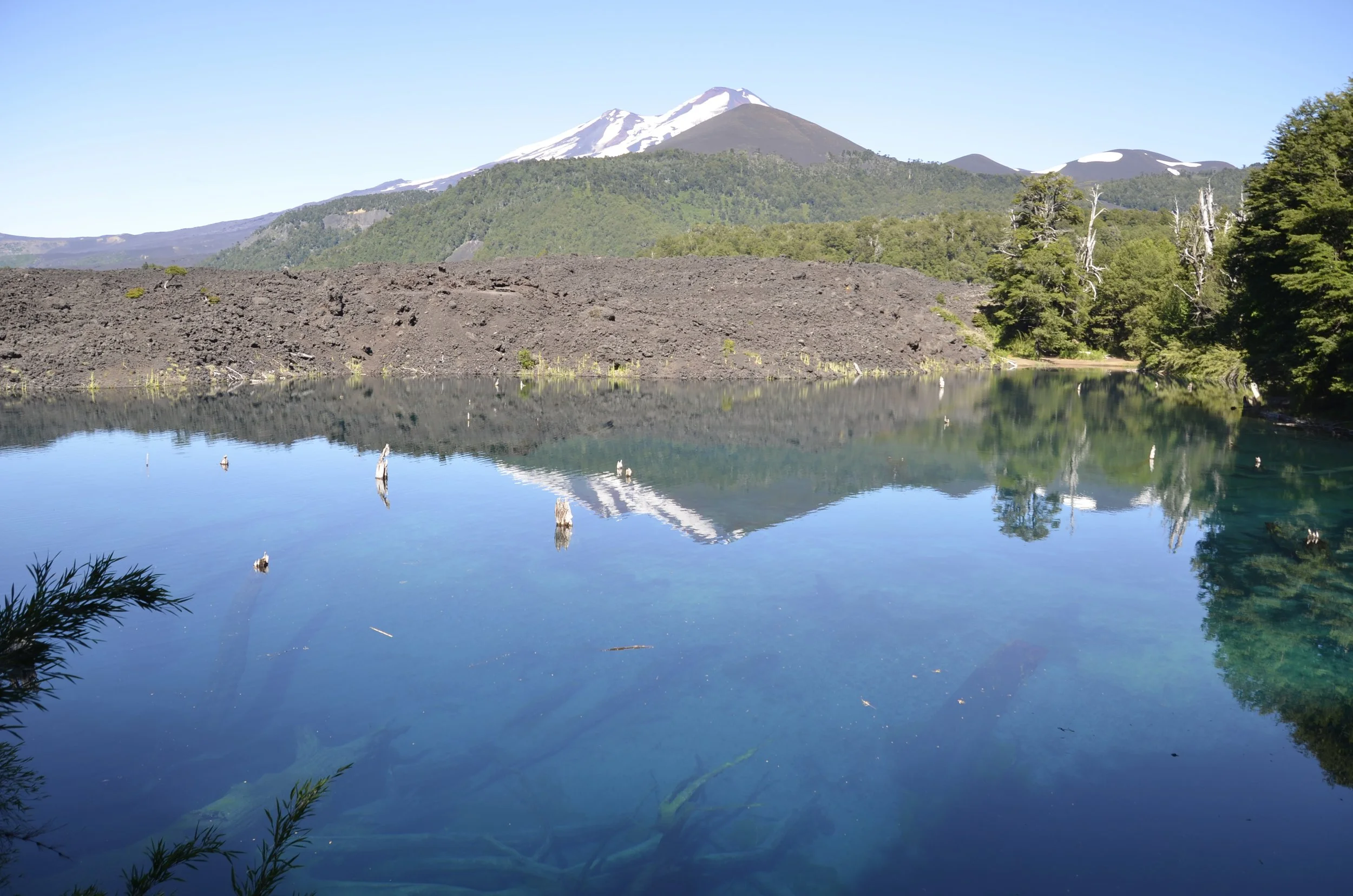
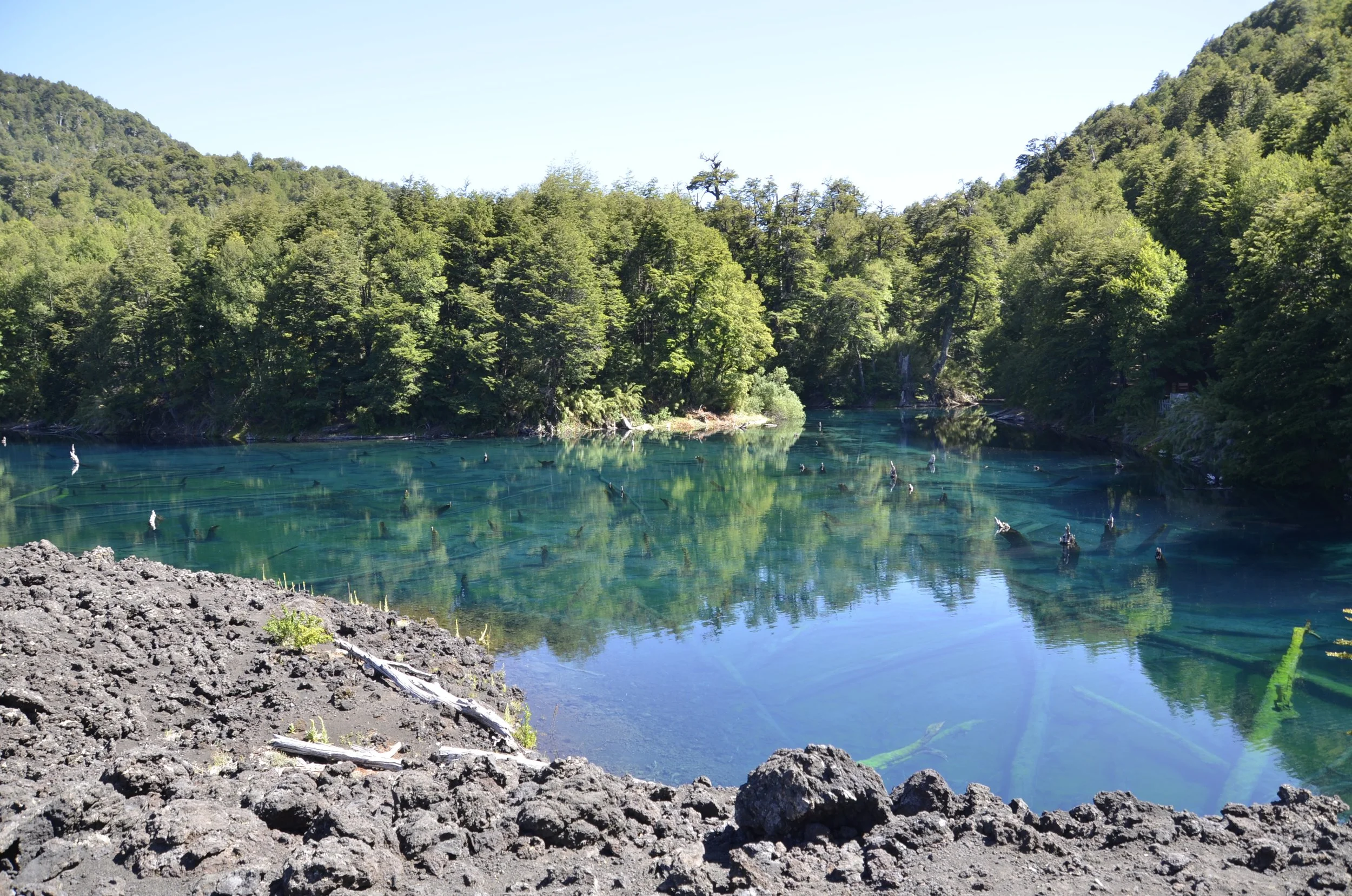
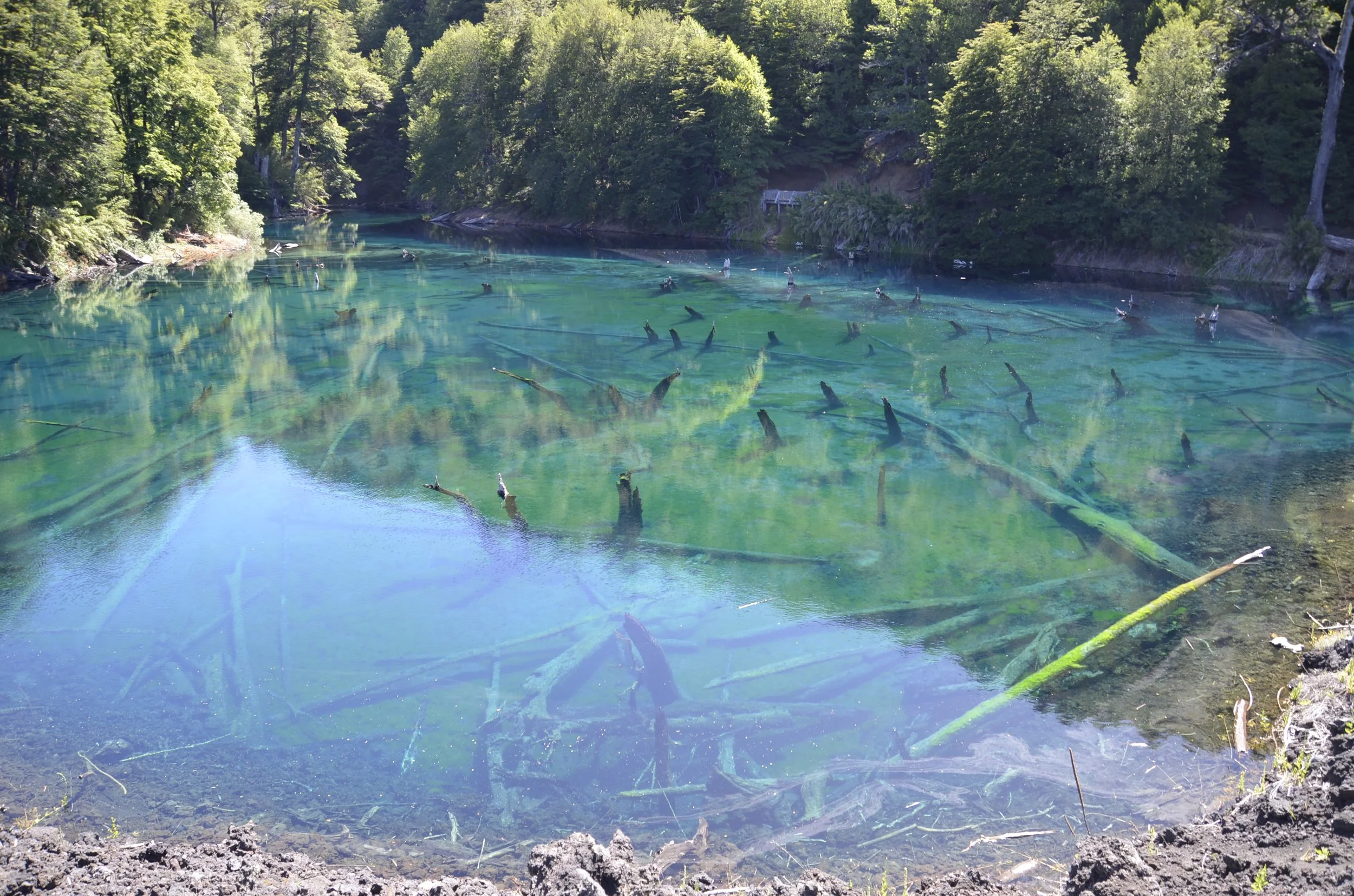
Now, back down in the park, there was a secluded little lake called Arcoris…

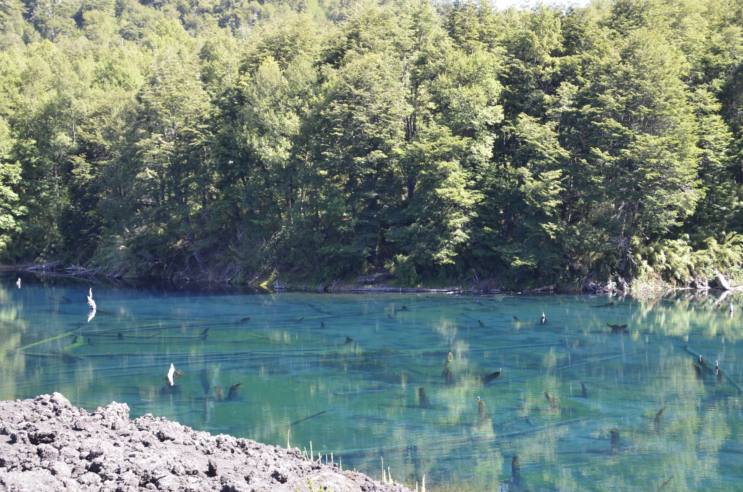
It was formed after a lava flow blocked the Truful-Truful River. Apparently the huge trees under the water are hundreds of years old…

… but I don’t understand why they aren’t decayed and discoloring the water.

The combination of reflections and the logs and stumps under the super clear water was really eerie -

This is one hardy tree -

Our grand adventure has now come to an end. These well exercised travelers wish you a Happy New Year!

Enjoy sunrise as we fly into NYC -

Huerquehue National Park

This is a park near the city of Pucon, which claimed views of a volcano and 3 lakes, so of course we had to hike! Right near the parking area was one of the Arrayanes trees that we had not been able to see when we were in Villa La Angostura (on the lakes), which claimed to have one of the remaining forests of them -

yes, it’s in the myrtle family

This was near the beginning of the hike, and we were bracing for more of the same, but it honestly wasn’t bad after this -

Along the way, we saw interesting trees…

… a pretty waterfall…

… and the promised lake(s)…

… complete with smoking volcano! And as we came back down from the hike, the clouds had cleared significantly -

We also passed another (taller) waterfall…

… before reaching the first of 3 lakes, at the turn around point of the hike.

And there were Arcuaria trees here also…

… both at the shoreline, as well as along the ridge -

I just love the trunk covered with Spanish moss, as well as the design that the branches make in the sky -

sorry this is sideways, but when I put it vertically, it looked stupid

I just loved that bark!

Our hike took about 5 hrs, and we covered over 9 miles, with 2,200 ft of elevation gain. This ending picture was my attempt on the rooftop of sunset with the moon in the corner -

Returning to Chile

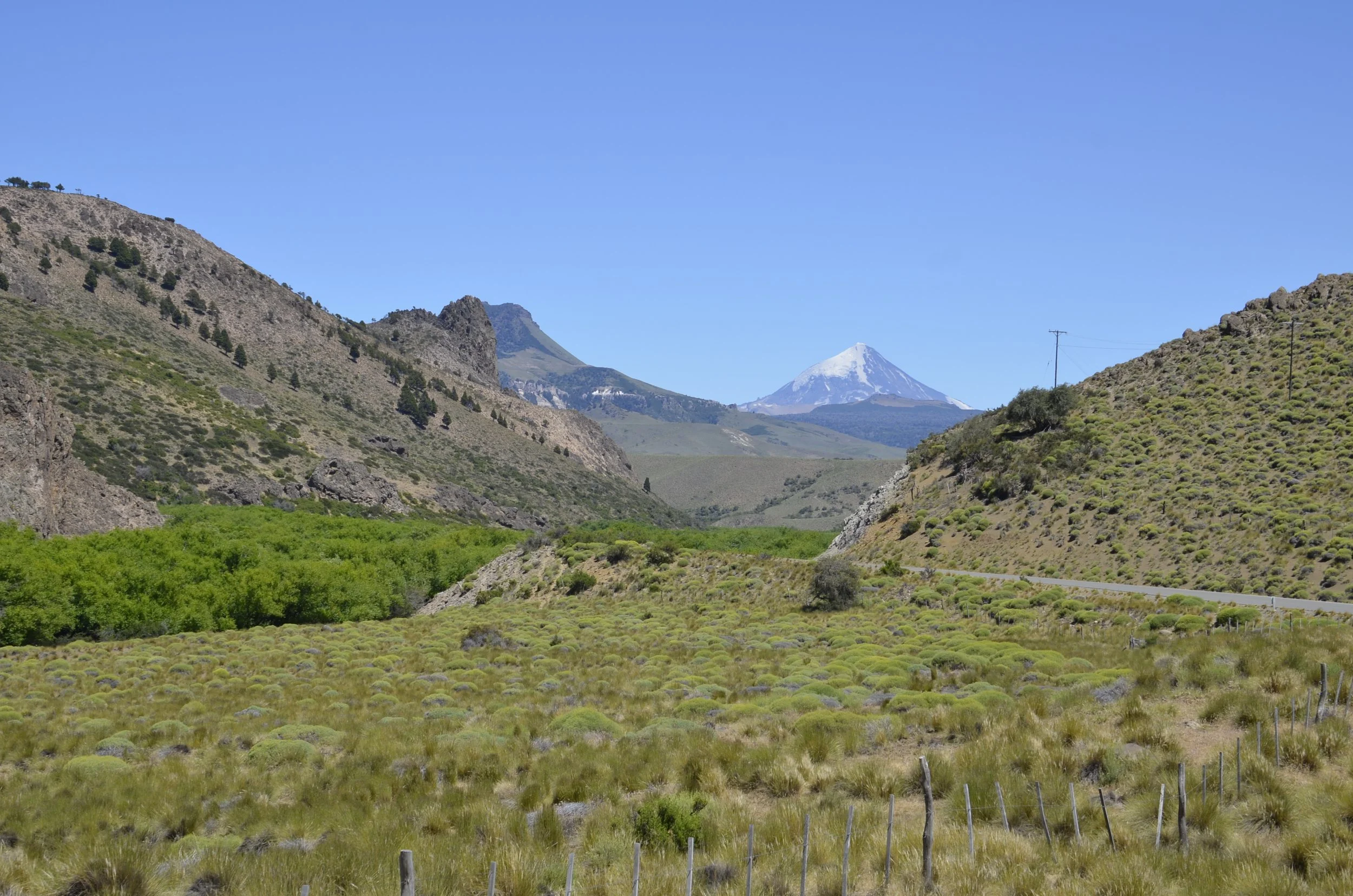
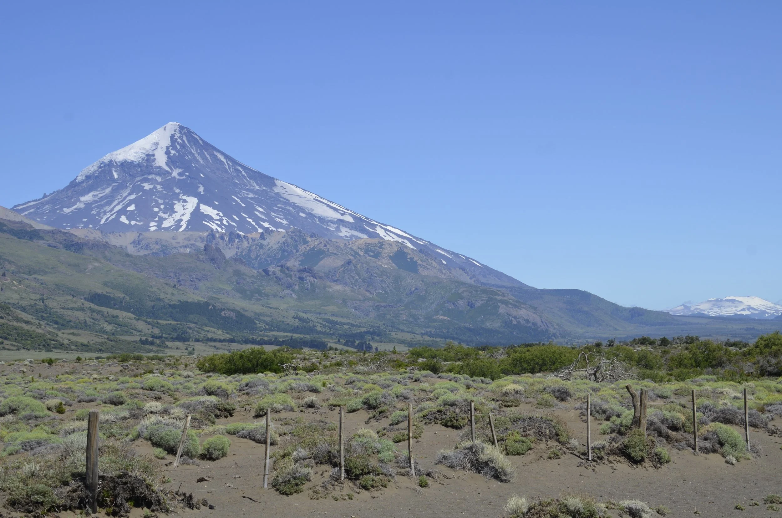
Heading back toward Chile, we first visited Argentina’s Lanin National Park…

… that featured Lanin volcano.

In the morning light, it looked like a giant painting, due to the muting of the faraway colors -

We were planning on going to another pretty lake within the park that our travel agent had recommended, but they only took Argentinian pesos in cash for the entry fee, and we had spent all our cash the day before! Ah well… driving on down the road, we continued to have neat views of Lanin…

… and another snow covered range -

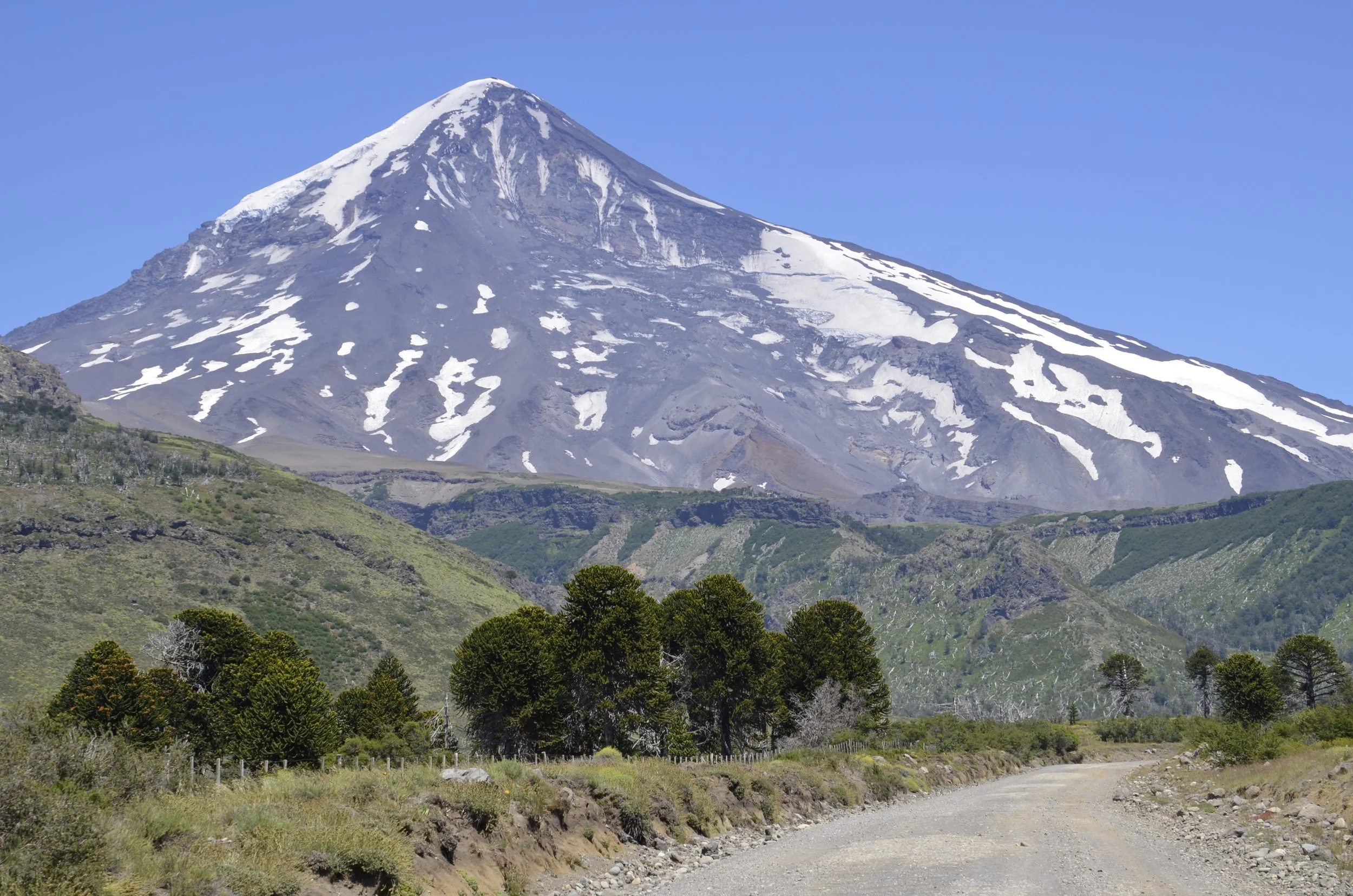
Lanin was looming higher, as we approached…

… a stand of Araucaria trees…

… which are also called “Monkey-puzzle” trees.

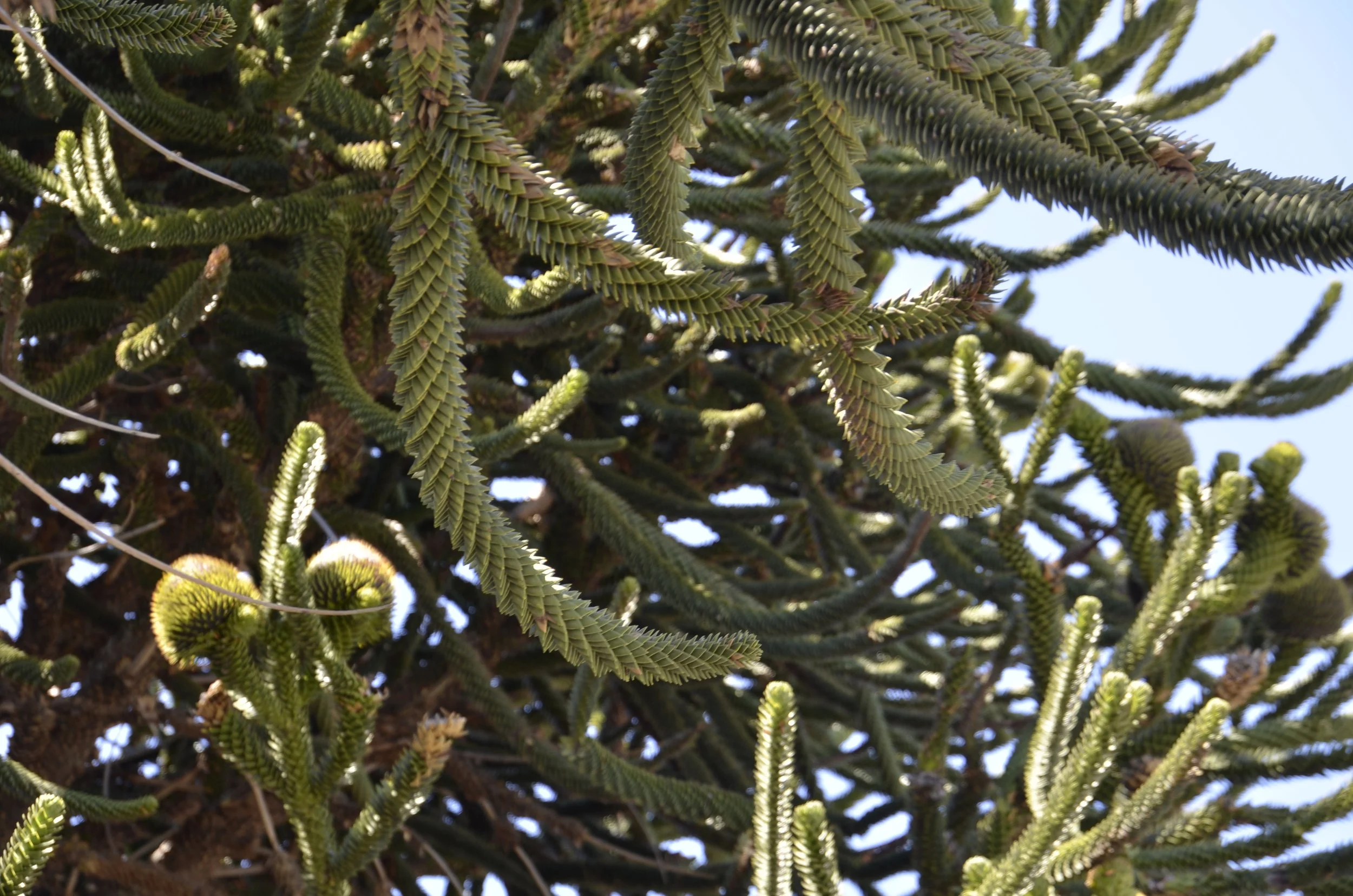
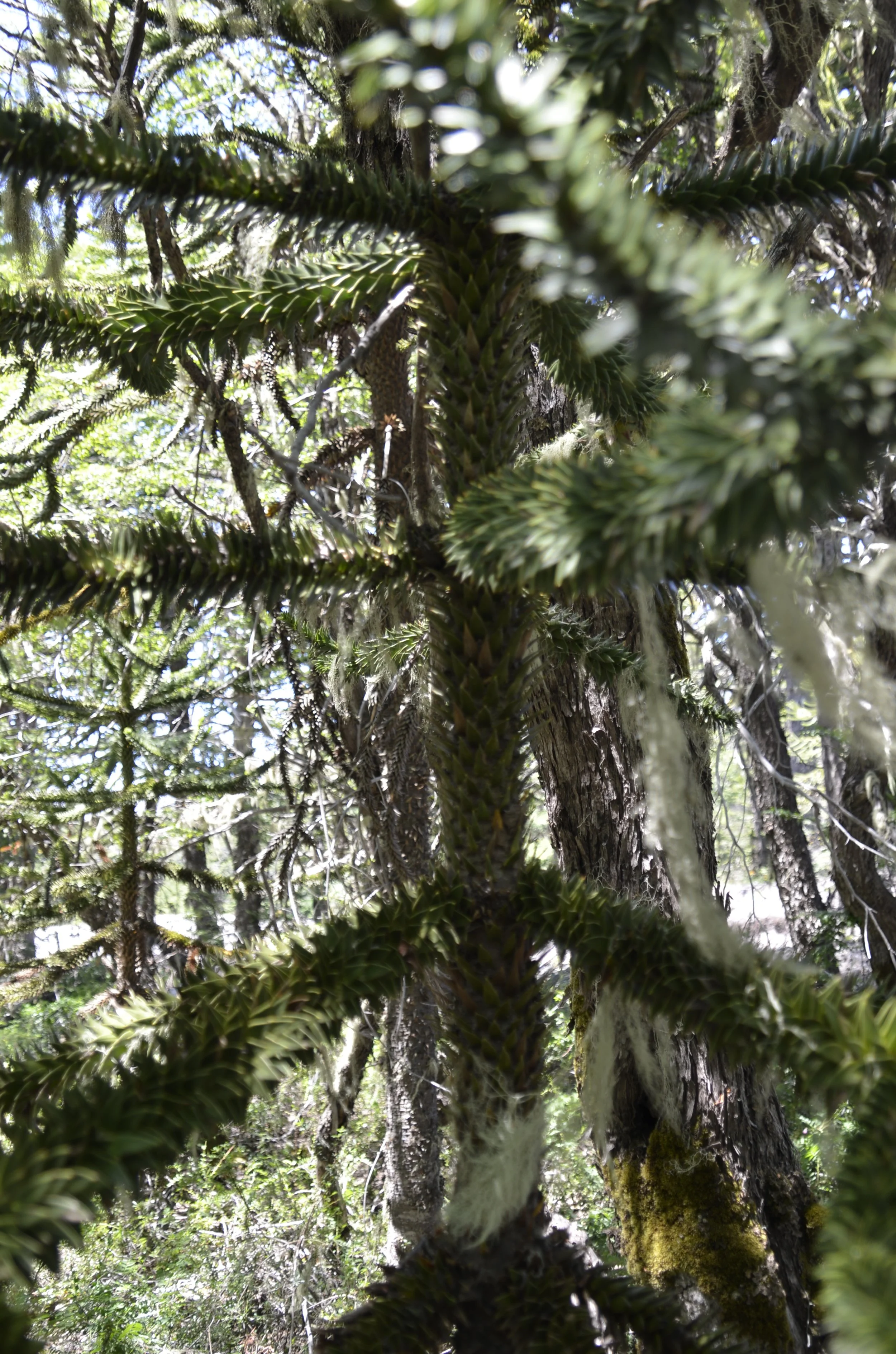
The branches are covered with firm, thick scales that are tipped with thorns…

… as are the trunks (the lighting isn’t the greatest, but hopefully you can see the trunk):

All of this would tend to prevent monkeys from reaching the large cones full of pine nuts -

… not that there are any monkeys in this area. Apparently the name was given to the tree when someone in England saw a specimen in someone’s garden in the mid-1800’s and posited that it would surely be hard for a monkey to climb it. The pine cones have been collected by the Mapuche (local indigenous people) for millennia, as each cone is loaded with pine nuts. These trees only grow in a small area of the Andes in Chile and Argentina. They are so protected that roads are built around them -

As we crossed the Andes into Chile, the areas around us became much more lush…

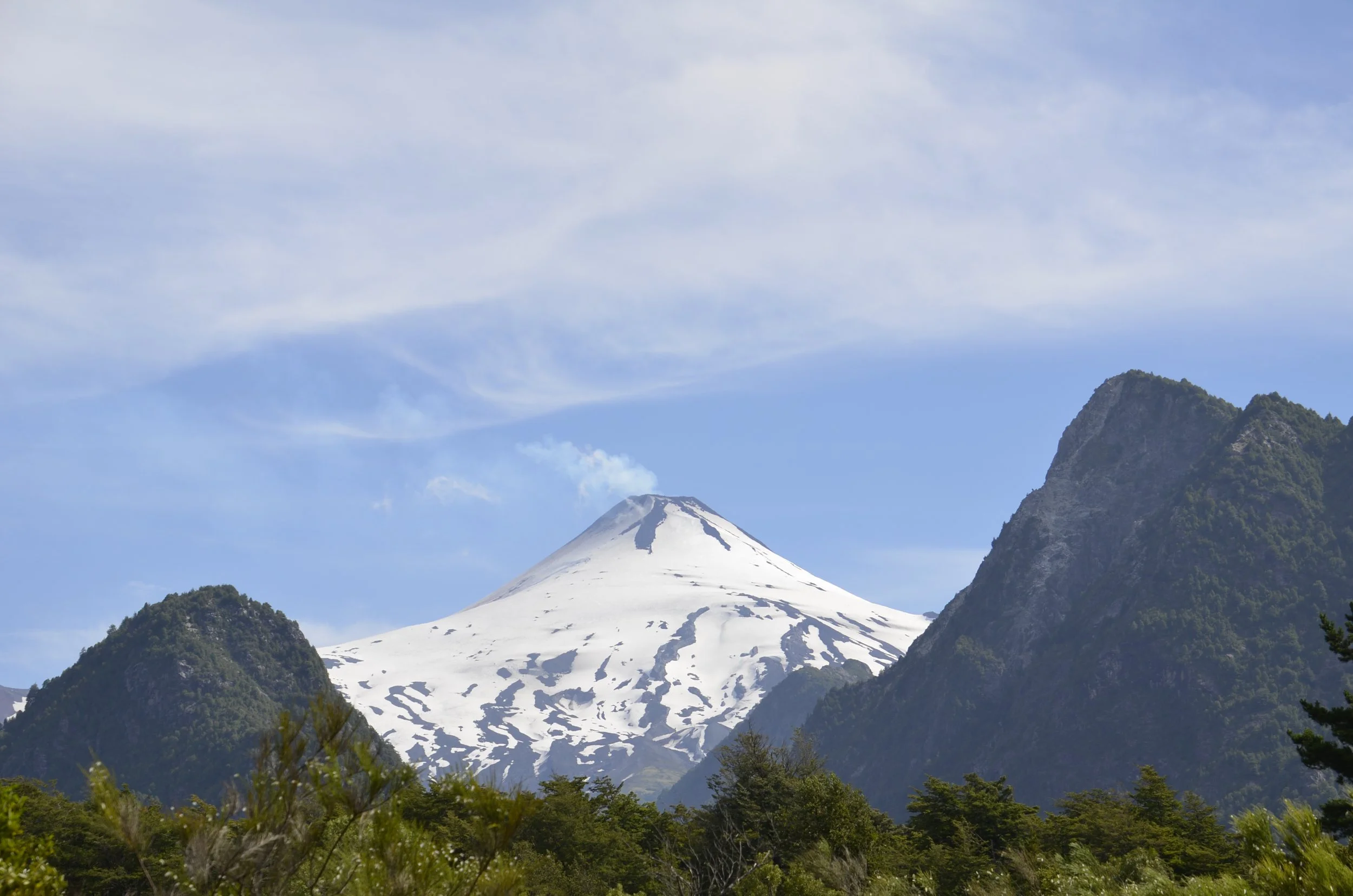
… and we were treated to more volcanoes. I believe the one above is still Lanin, while the one below is Villarica. This was totally obscured by clouds when we arrived in Pucon, but the next day we finally saw it -

… and yes, it’s active! I’ll close with this great shot that Steve got from our hotel rooftop -

Route of the Seven Lakes & Cerro Colorado, Argentina

The road between Villa La Angostura and our next stop, San Martin de los Andes, was over 100 km of beautiful drive between mountains and lakes.

Every time we turned a corner, there was more beautiful blue…

… or snowy peaks -

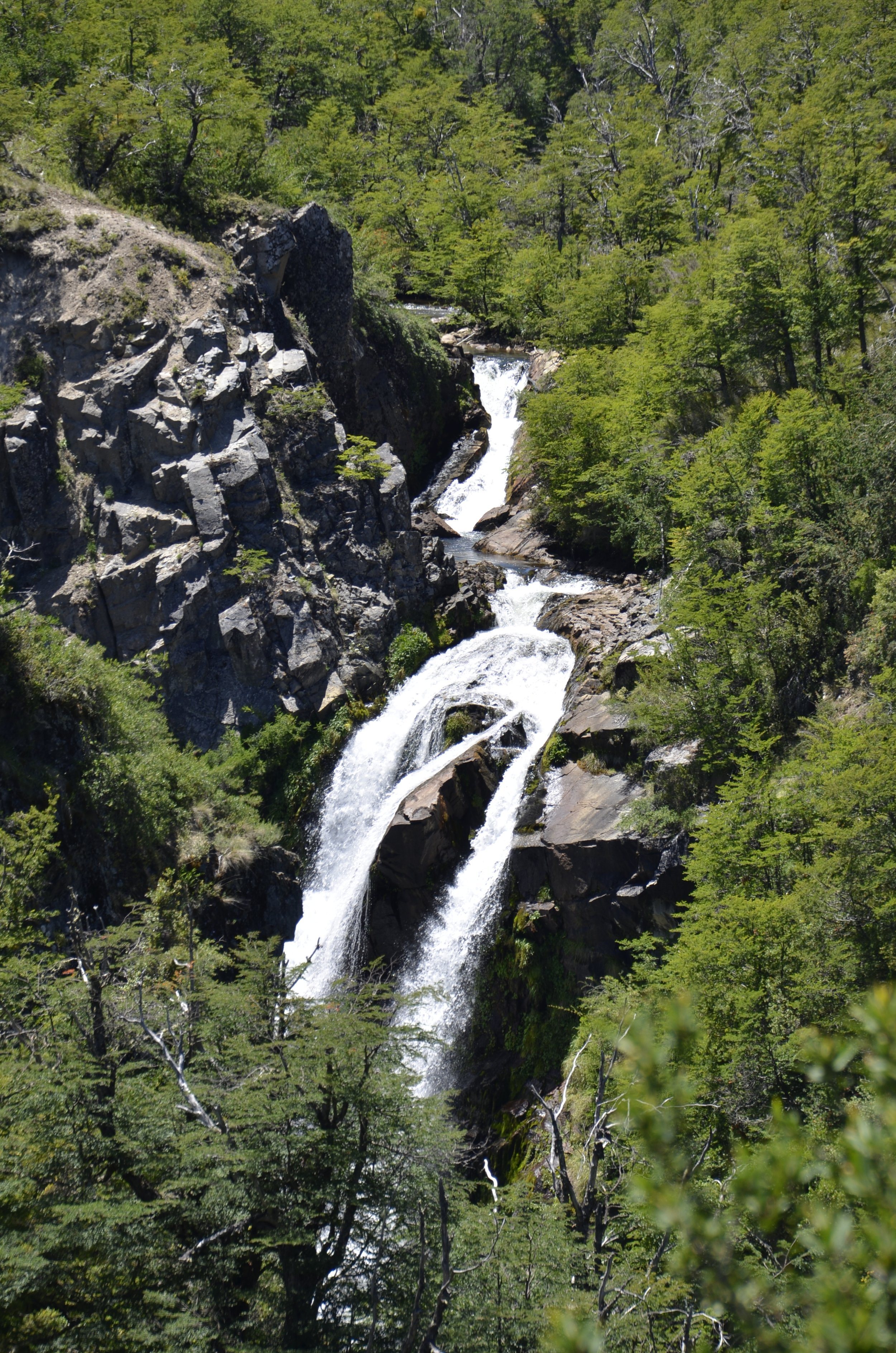
I didn’t even try to keep track of all the names of the lakes we passed, and we even quit stopping at scenic pullovers because they were starting to look the same (sad commentary). We did go on a short hike to a waterfall…

… that involved wading through the cold waters of that stream seen above.

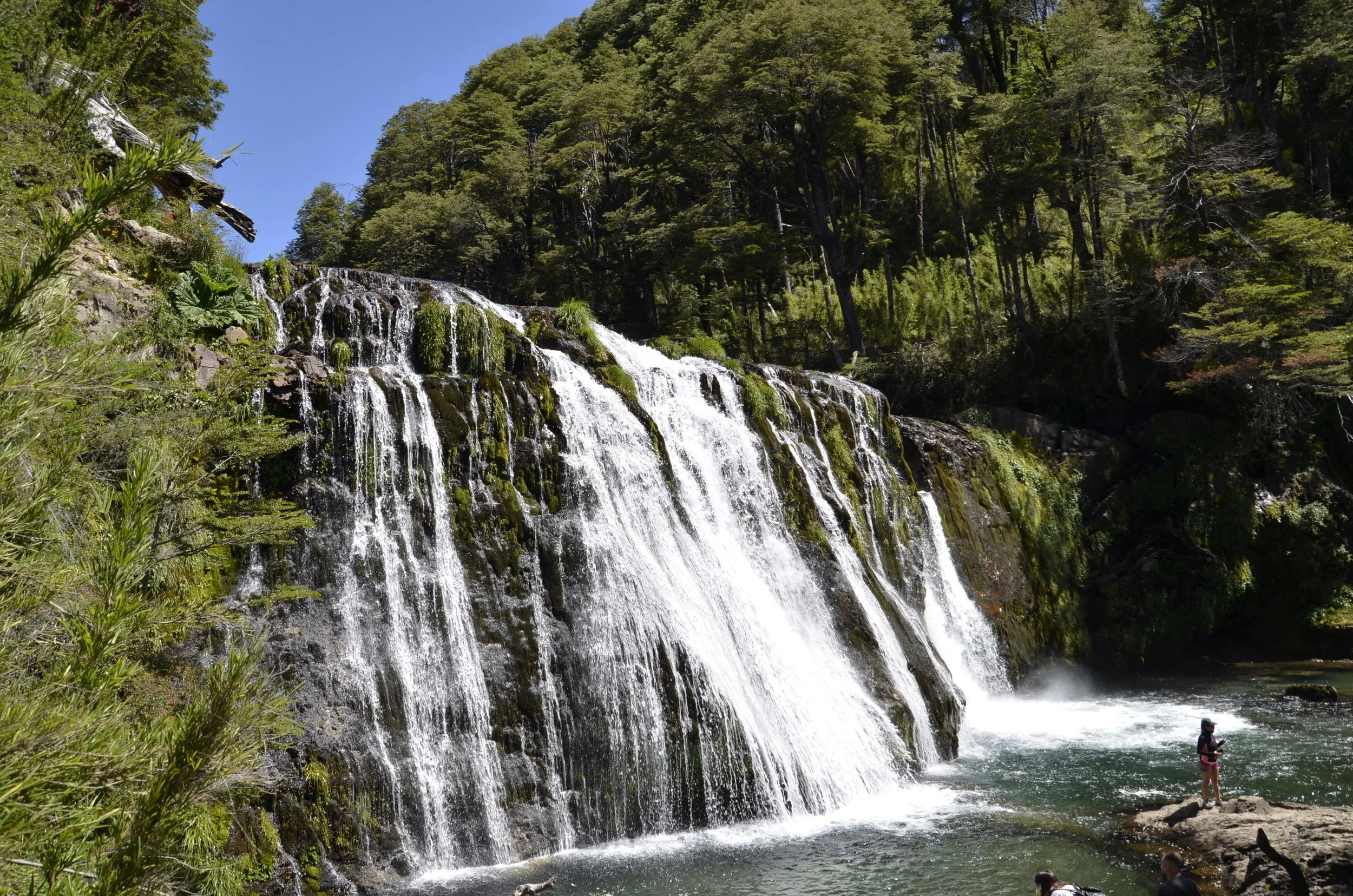
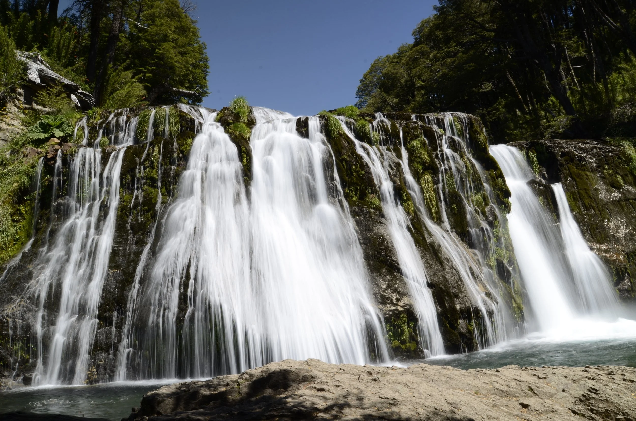
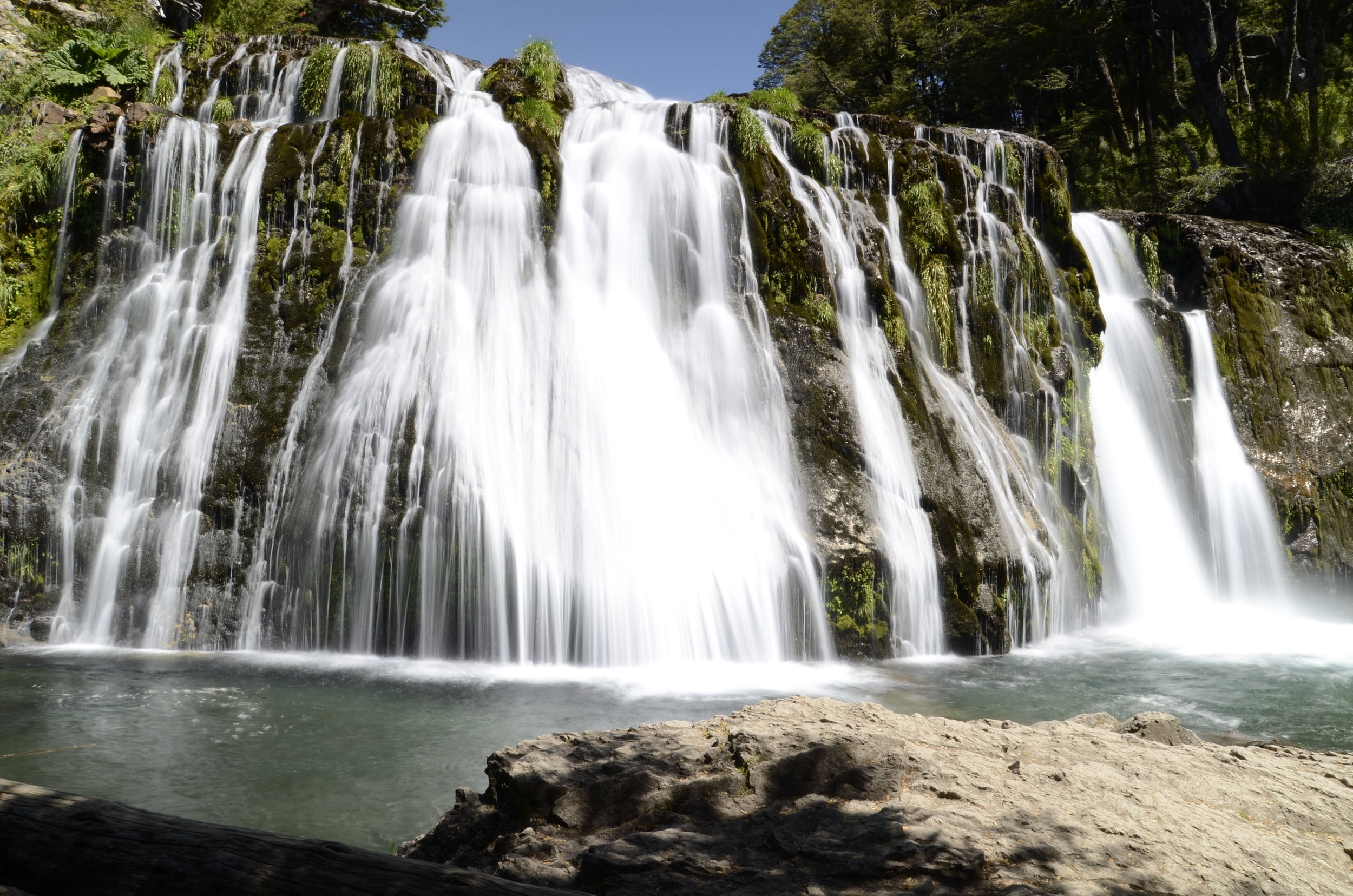
Voila! We found Cascada Nivinco…

… and I was able to practice long exposures again…

… using a handy fallen log as my tripod -

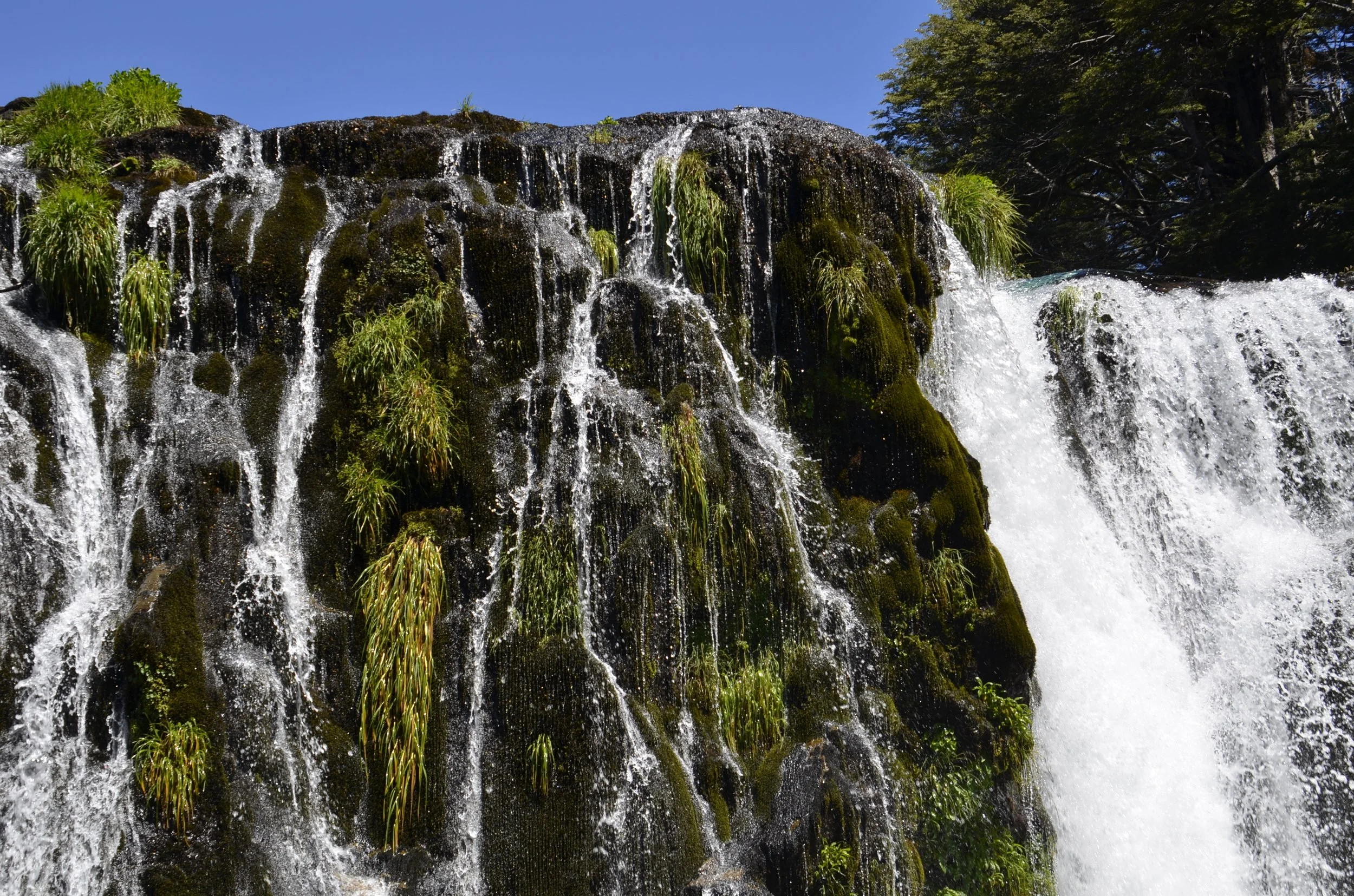
I loved the greenery growing on the rocks within the waterfall -

Check out this cool waterfall that we spied when we were back on the road -

Very interestingly, our travel agent lives in San Martin de los Andes, and she scheduled our stay of Dec. 24-26 with her, at her house! She was a great host, and we really enjoyed our time with her, as well as the delicious meals she prepared for us.

We even hiked with her on Christmas Day! The hike we chose was up Cerro Colorado (“red mountain”) and it turned out to be super tough for me, even though it was “only” 5 miles total - but we had over 2,500 ft of elevation gain in that span.

The picture above was taken about 1/2 way up. We had an absolutely gorgeous day - clear skies and nearly 80 degrees! We got to see some of the beautiful flowers that she said blanket the slopes in January.

Amancay

As we climbed higher, we started to see snow topping far off mountains -

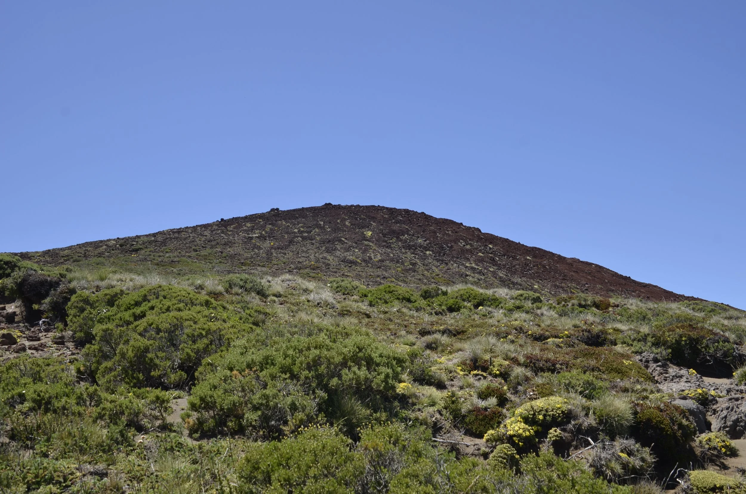
As we neared the top, we finally saw why it’s called Cerro Colorado -

We were above tree line, and there was little plant growth, as well as increasing amounts of red rock -

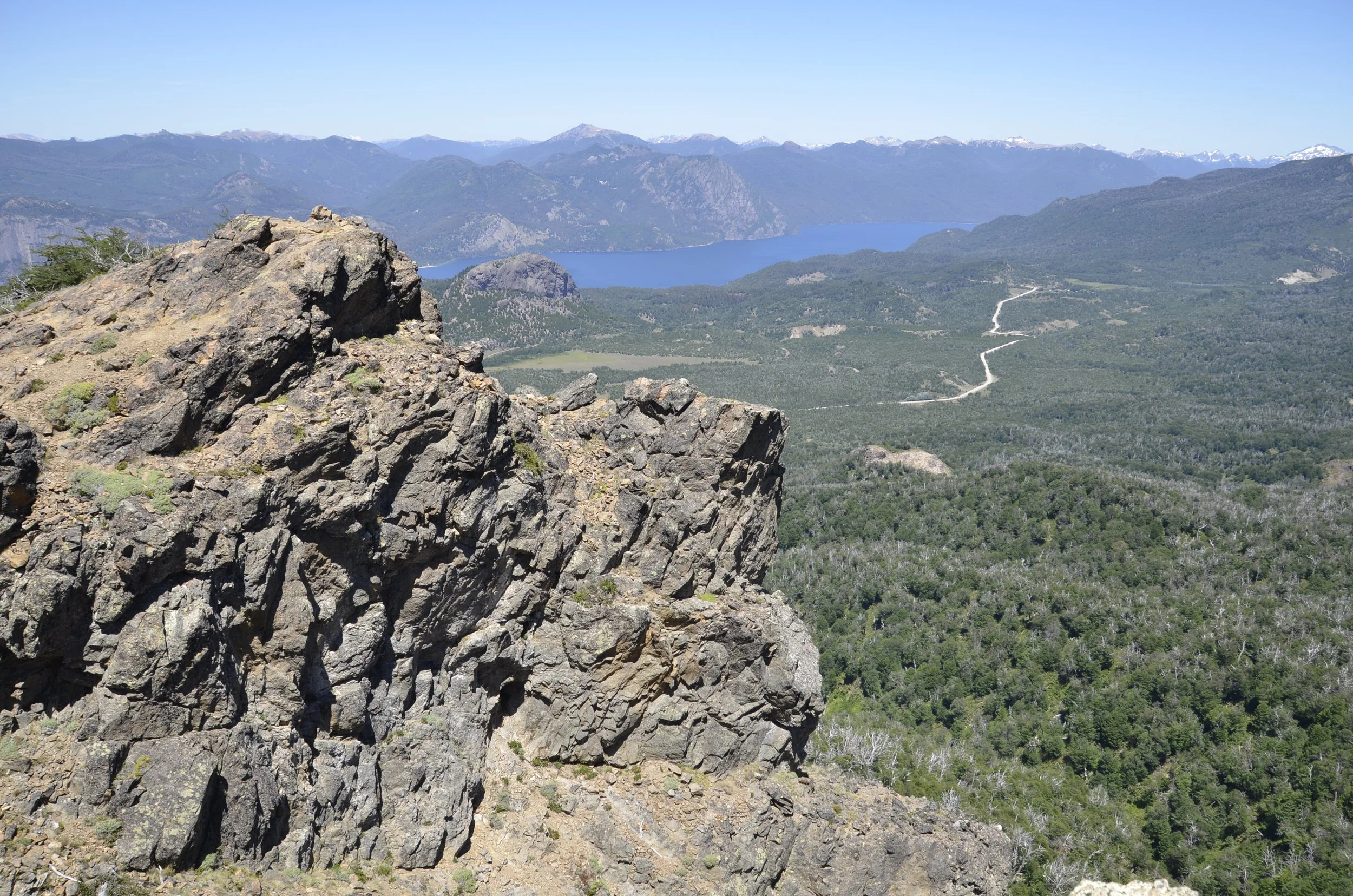
From the top we could see 2 volcanoes…

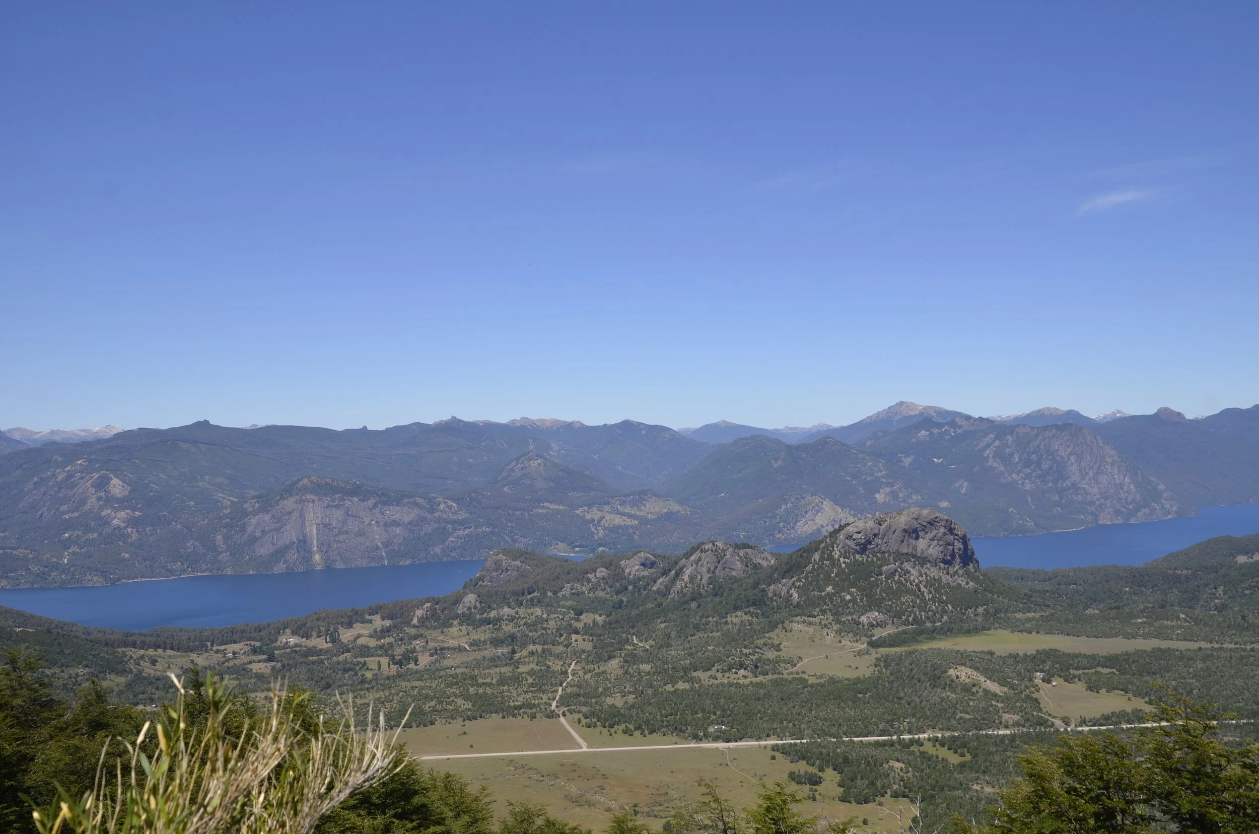
… and the entire expanse of Lago Lacar -

Another set of Lady’s Slippers…

… as well as a pretty lily -

Next post… we’re on our way back to Chile.

Puerto Varas, Chile

This town is in the Lakes District (as Wiki said in “southern Chile”), but we’ve driven north for so long, that this sure doesn’t count as “southern” to us! It is on the shore of Lake Llanquihue, and our hotel had a gorgeous view…

… but unfortunately the tops of the surrounding volcanoes were always covered in clouds when we were there.

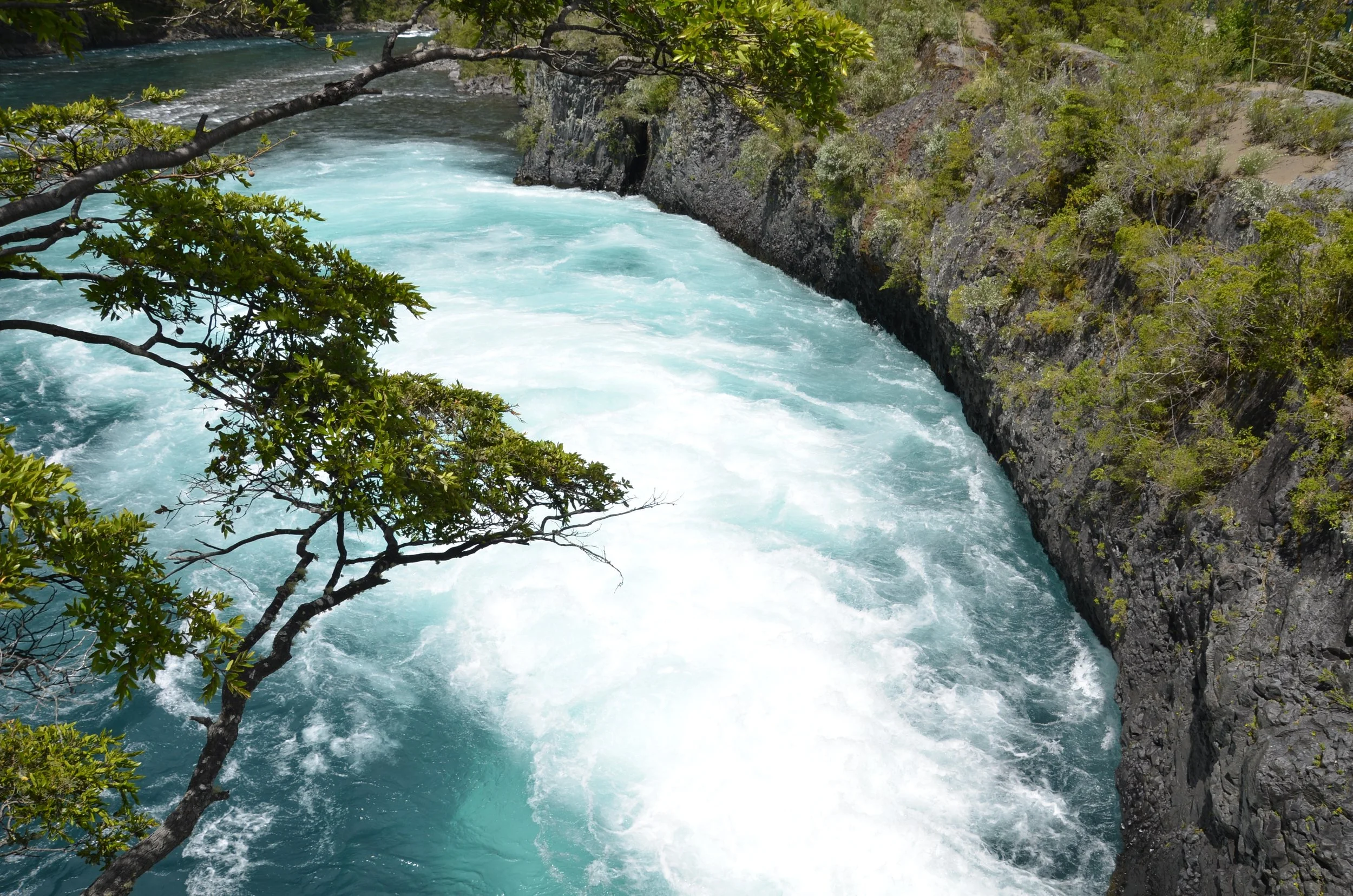
We visited a nearby set of waterfalls - Petrohue Falls…

… that had quite the impressive backdrop (even if cloud covered) -

Again, the blue water was so striking -

Be sure to open this post in a browser to be able to enjoy, what I found to be, the calming churning of the water and mist -

My favorite picture from here -

Back at our hotel… we were sitting on the chairs facing the lake, when I glanced down, and saw the biggest Walking Stick insect I think I have ever seen -

We had a pretty sunset in Chile…

… before crossing back into Argentina. The “Lakes Region” continues on this side of the border also, and we had gorgeous views from our hotel…

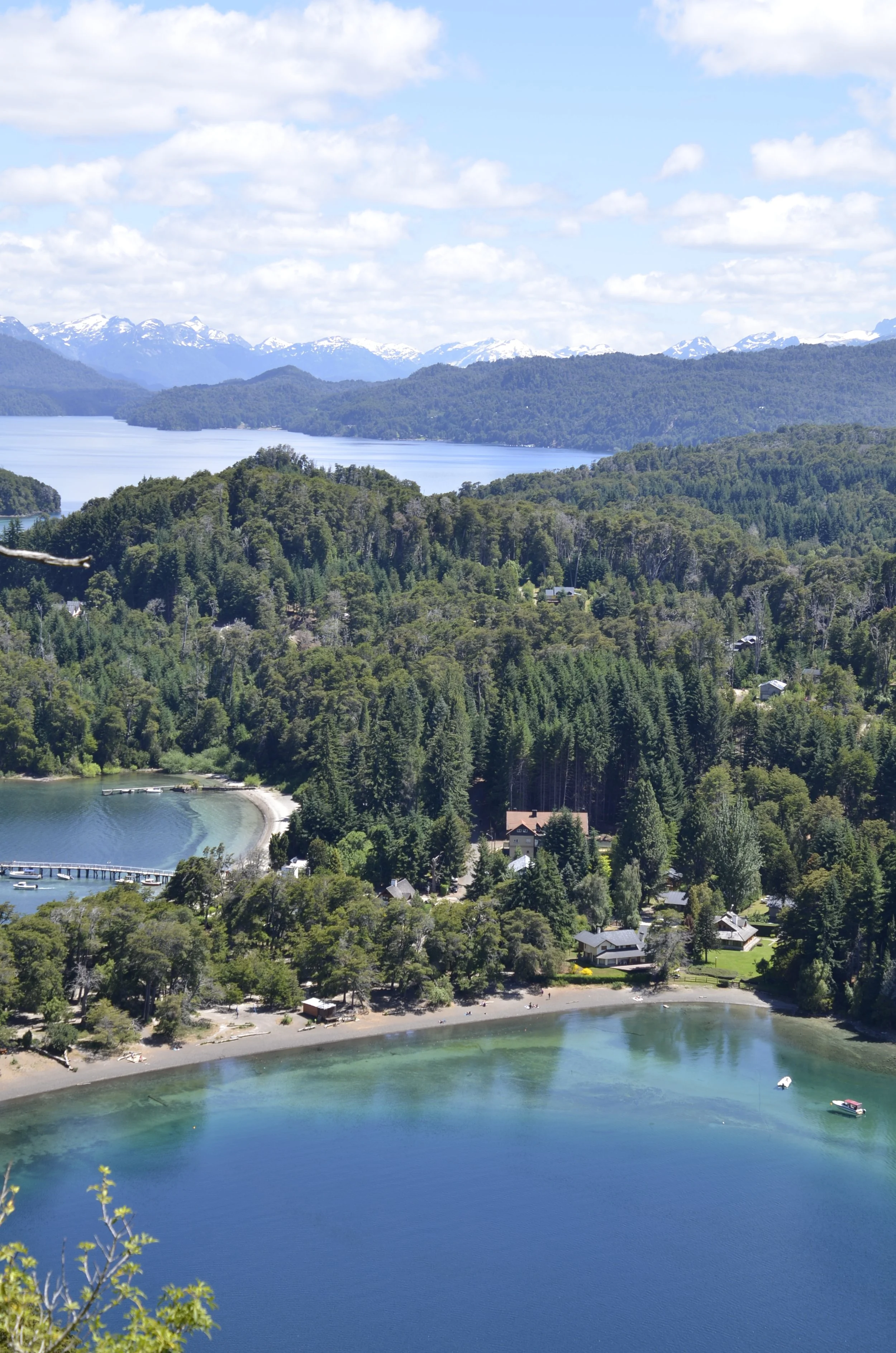
… as well as from a hike above the town we were in - Villa La Angostura -

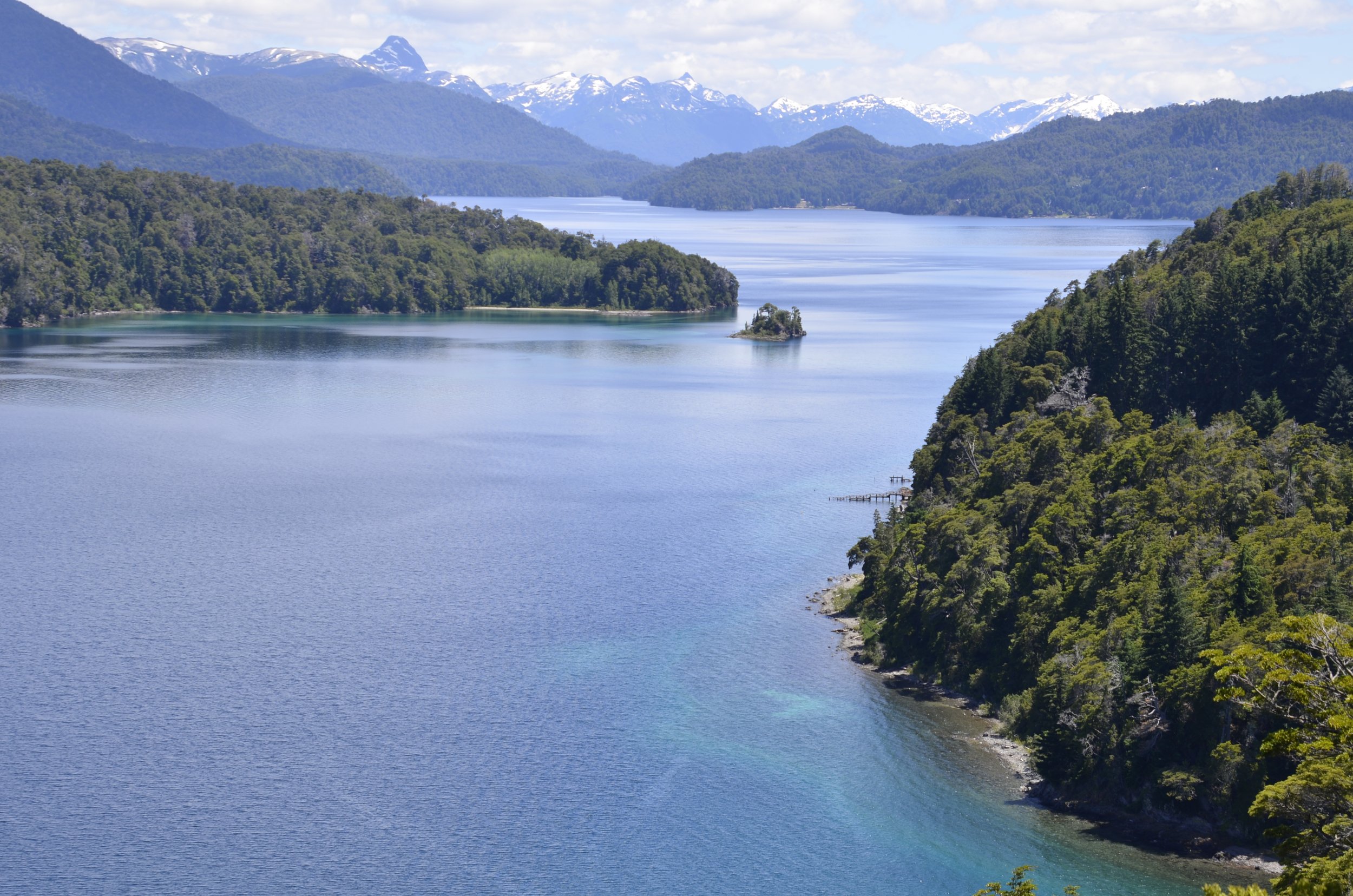
From another mirador (lookout) on the hike -

This was our welcoming committee into town…

… and this was the sunset just before we left -

Chiloe

This is an island off the west coast of Chile, but it is also the name of the province and archipelago of 30 small islands and islets.

We needed to take a ferry from the mainland at Chaiten over to Chiloe. It took 5 1/2 hrs of sailing, after 2 hrs of unloading and loading. :-( In the picture below, you can see the full size tractor trailer trucks about to drive off.

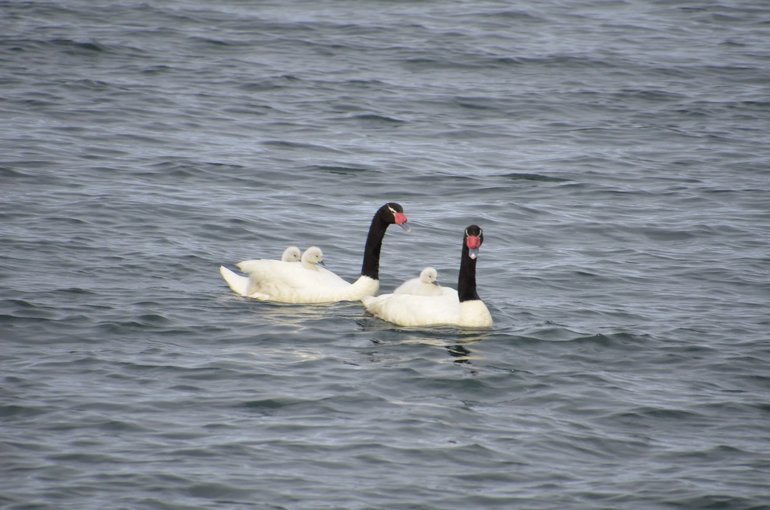
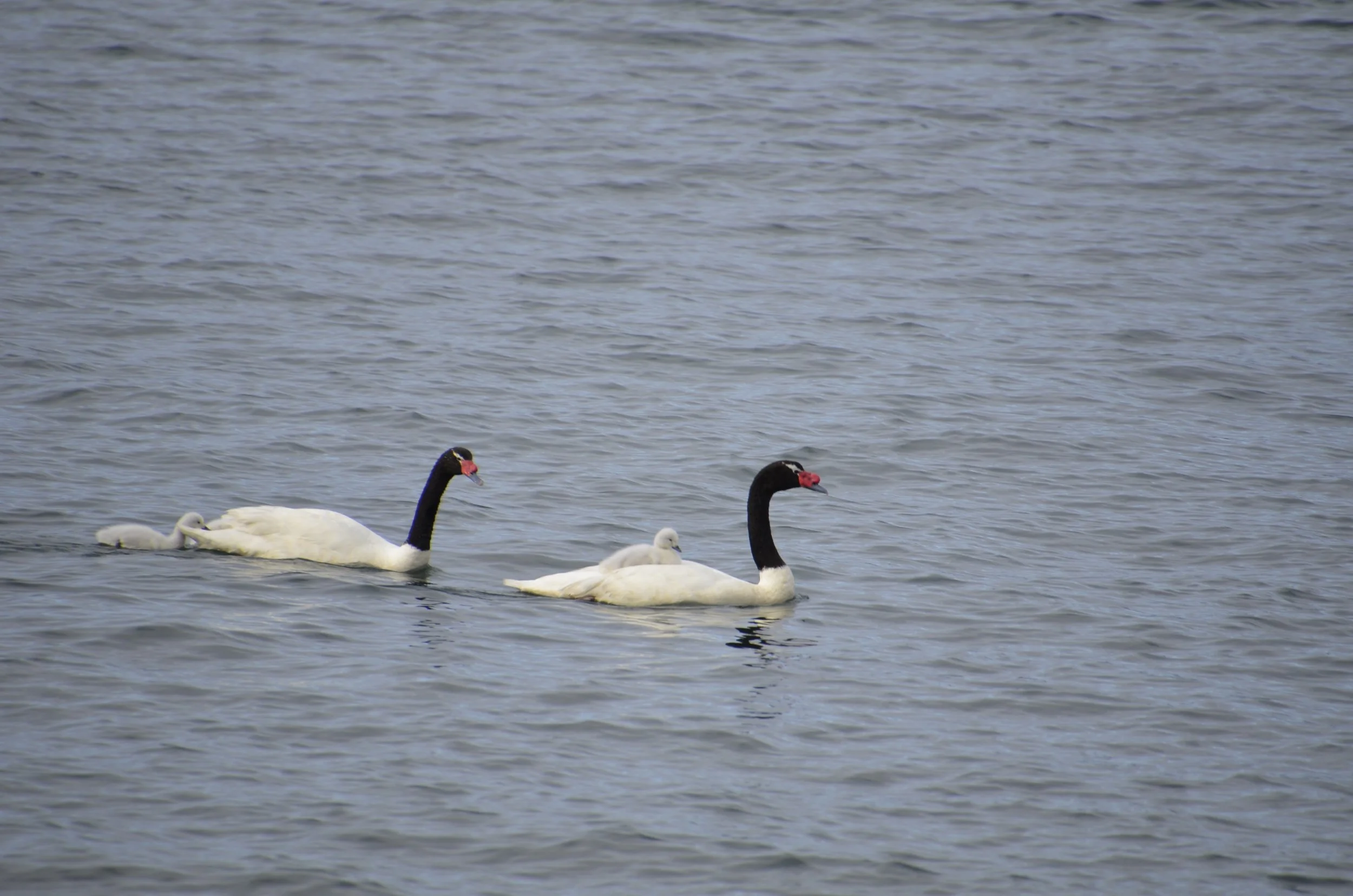
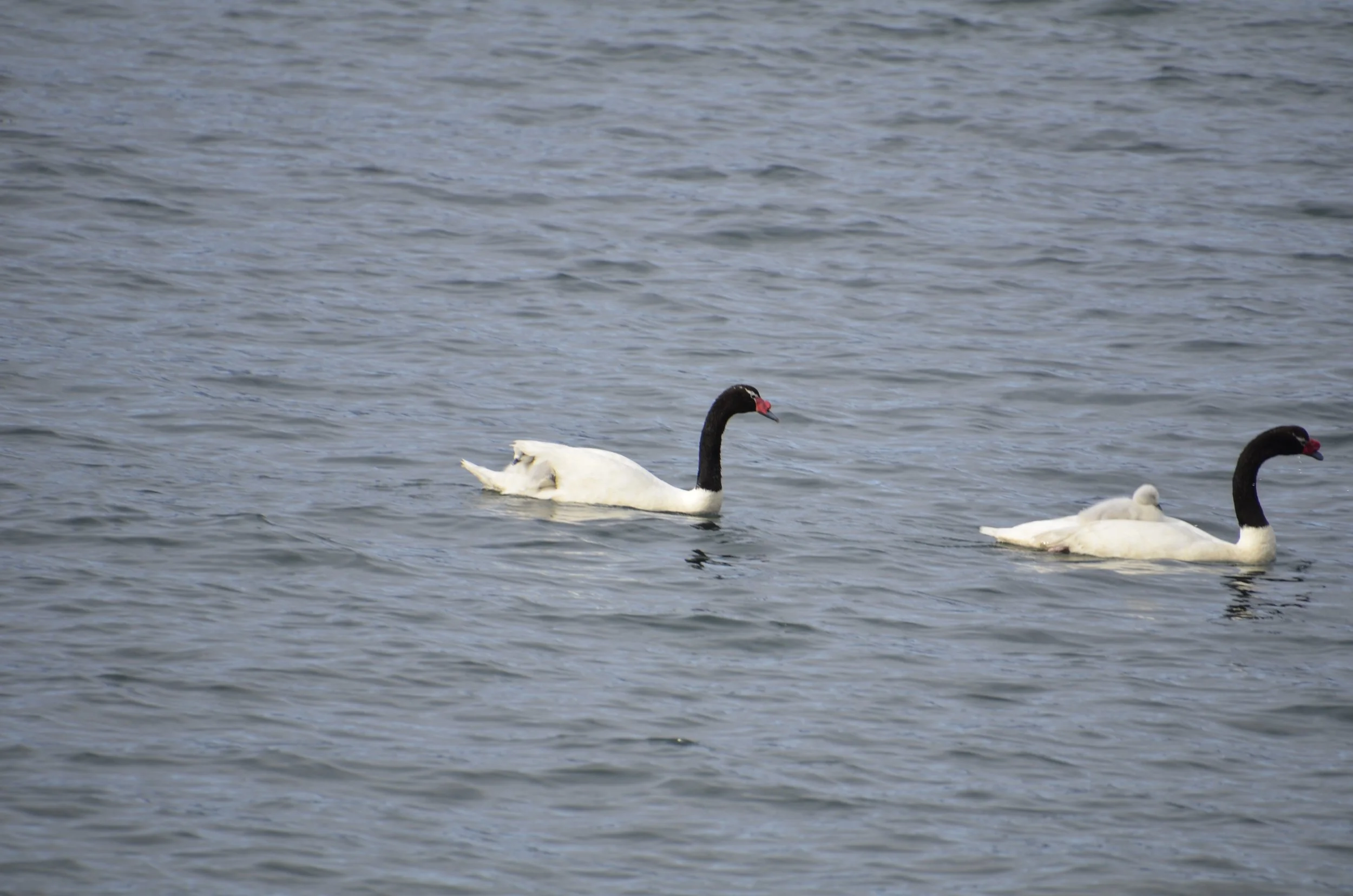
Before we left, I was smiling at a family of Black-necked Swans…

… and really grinned when the cygnet in the back climbed aboard its parent…

… and the entire family set off in grand fashion.

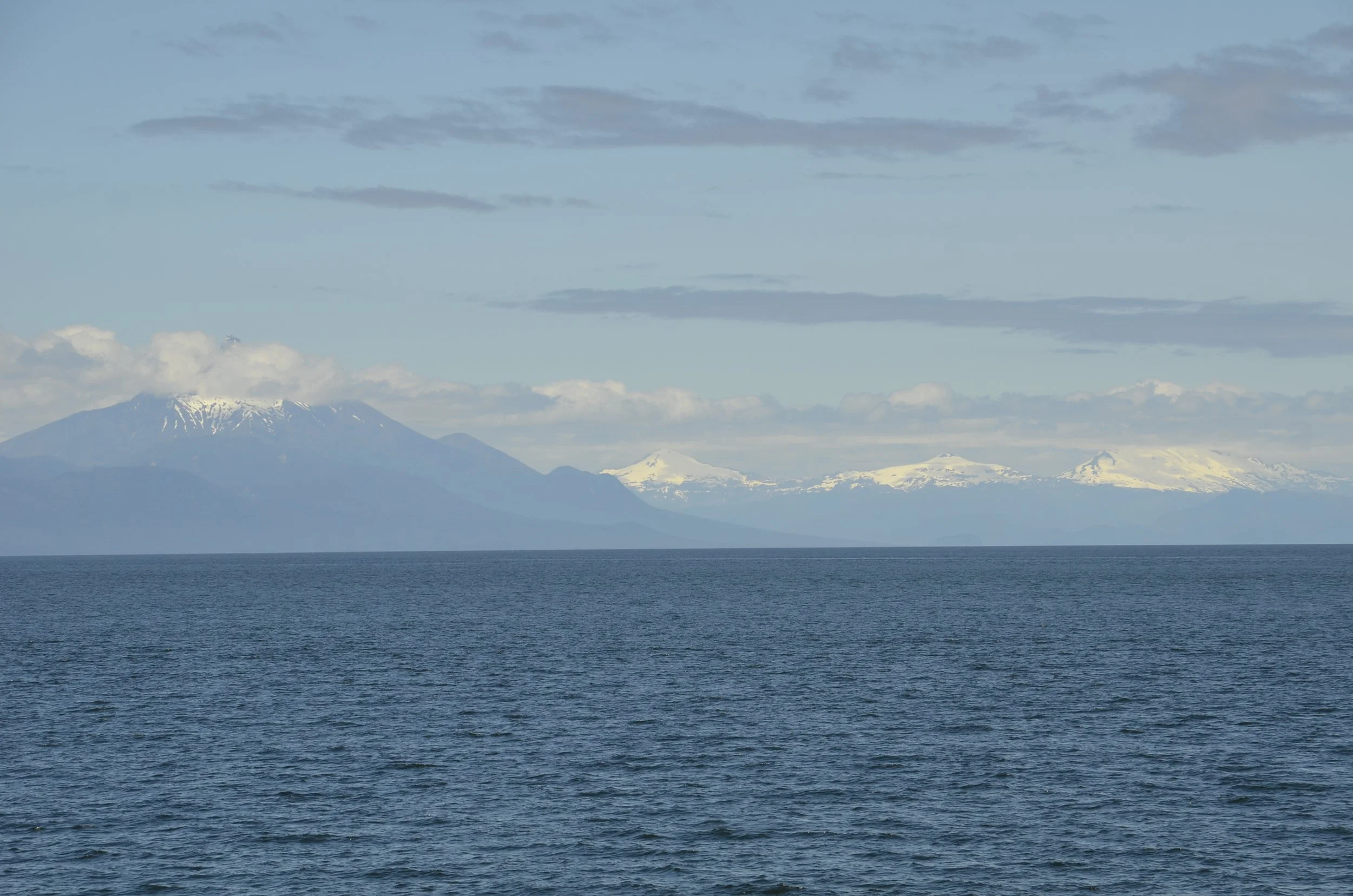
As we sailed away from the mainland, we could see snow-covered peaks almost the entire way -

Chiloe is celebrated for its rural roots that are still prevalent, and we loved the laid back feel as we toured.

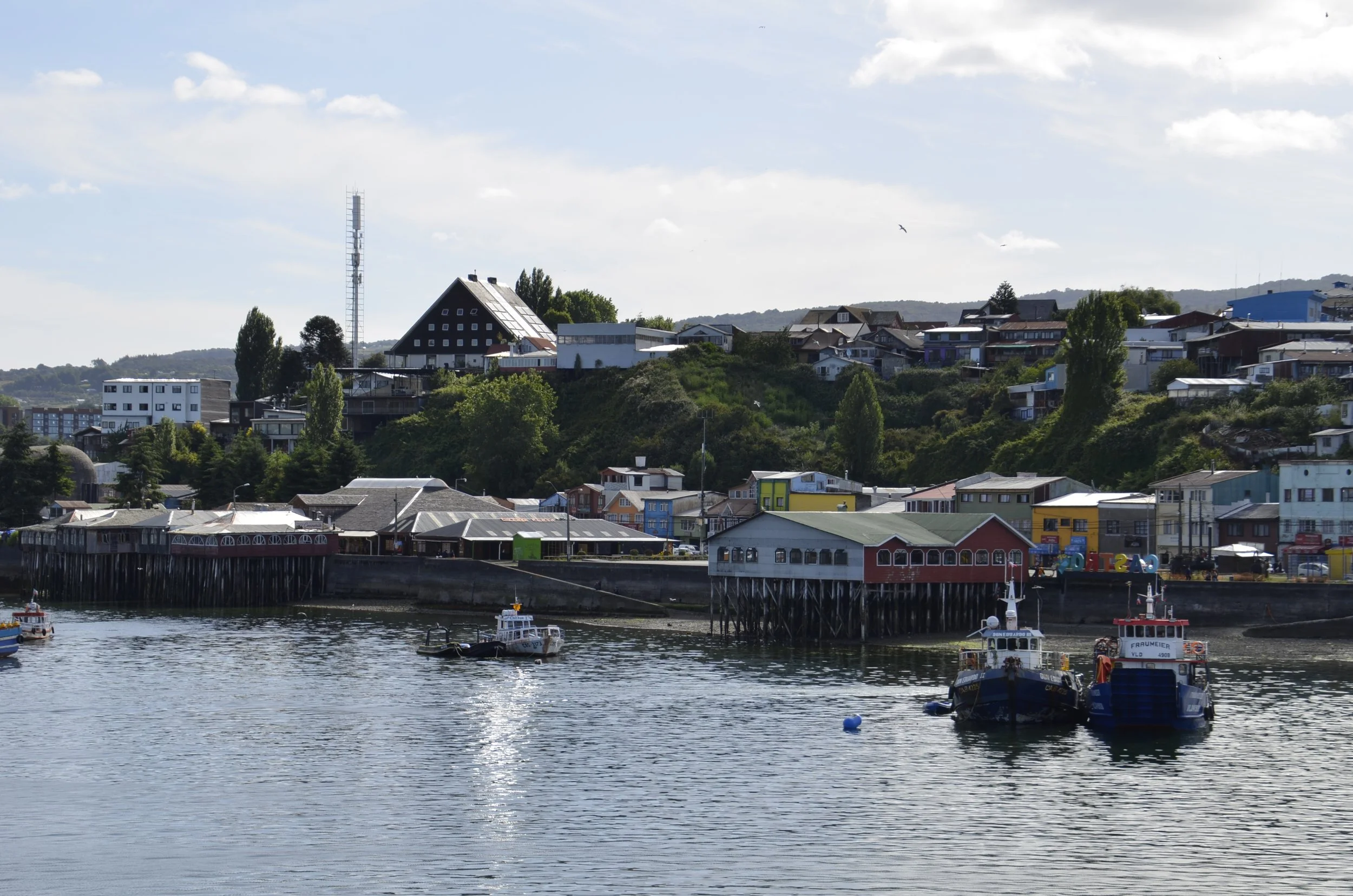
But first we had to navigate the bustling city of Castro (40,000+ population), and it was somewhat of a rude awakening after the solitude and slow pace of southern Patagonia.

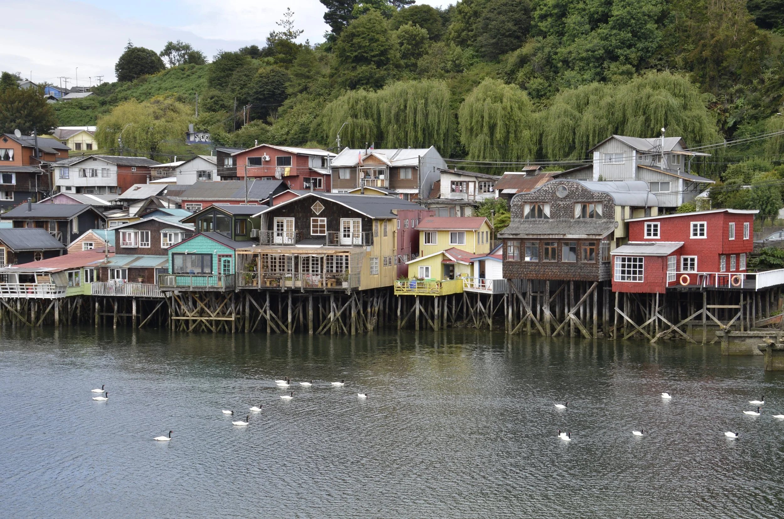
Castro is celebrated for its stilt houses…

… and you can see why the stilts are needed when it’s high tide -

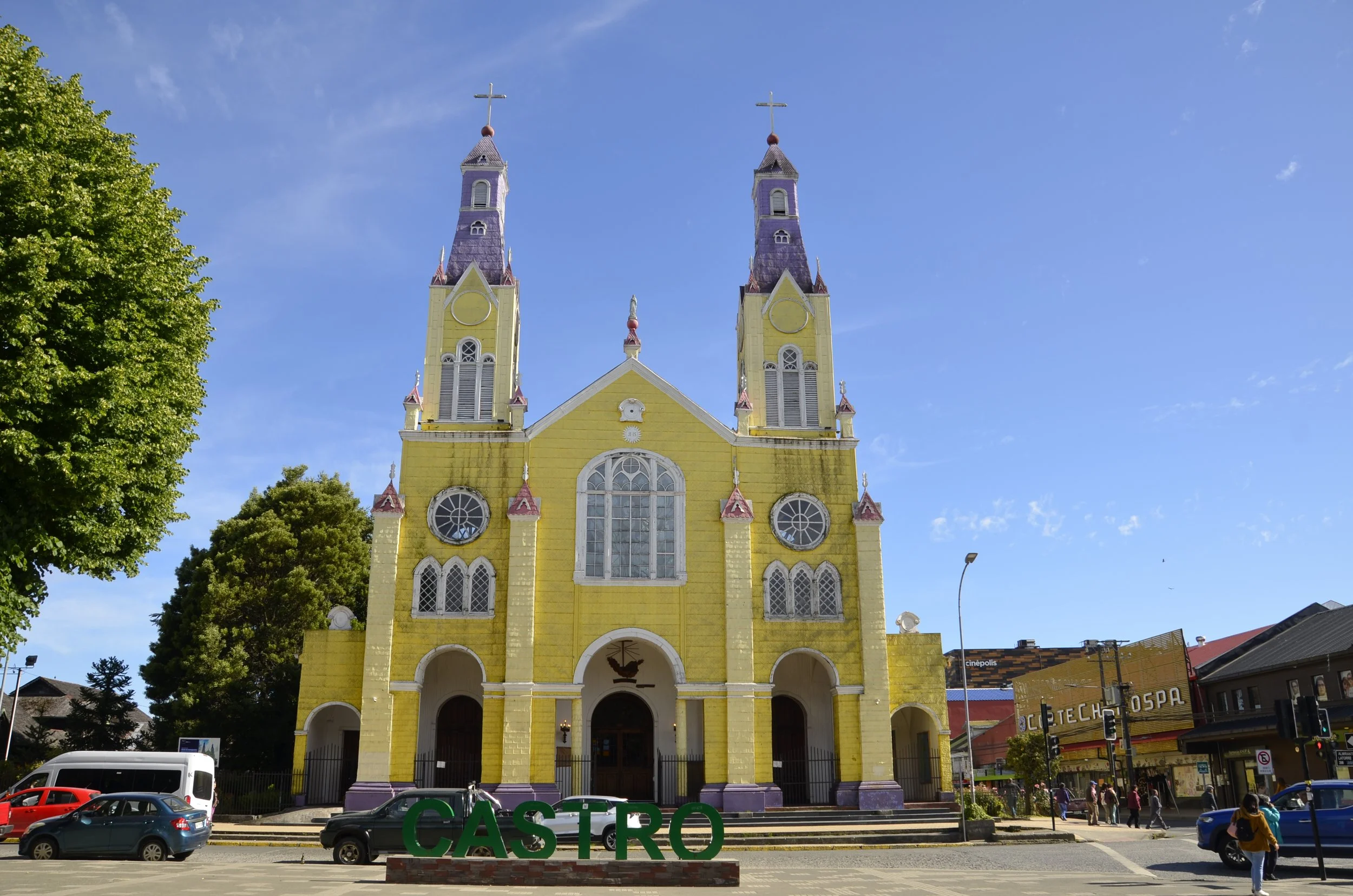
Chiloe and the islands are known for their churches, which were built by German Jesuits in the 18th and 19th century as part of their missionary efforts. The one in Castro is quite colorful -

We visited the Isla Quinchao, which took only a 15 minute ferry ride to get to, and we loved its serene landscapes and sedate pace.

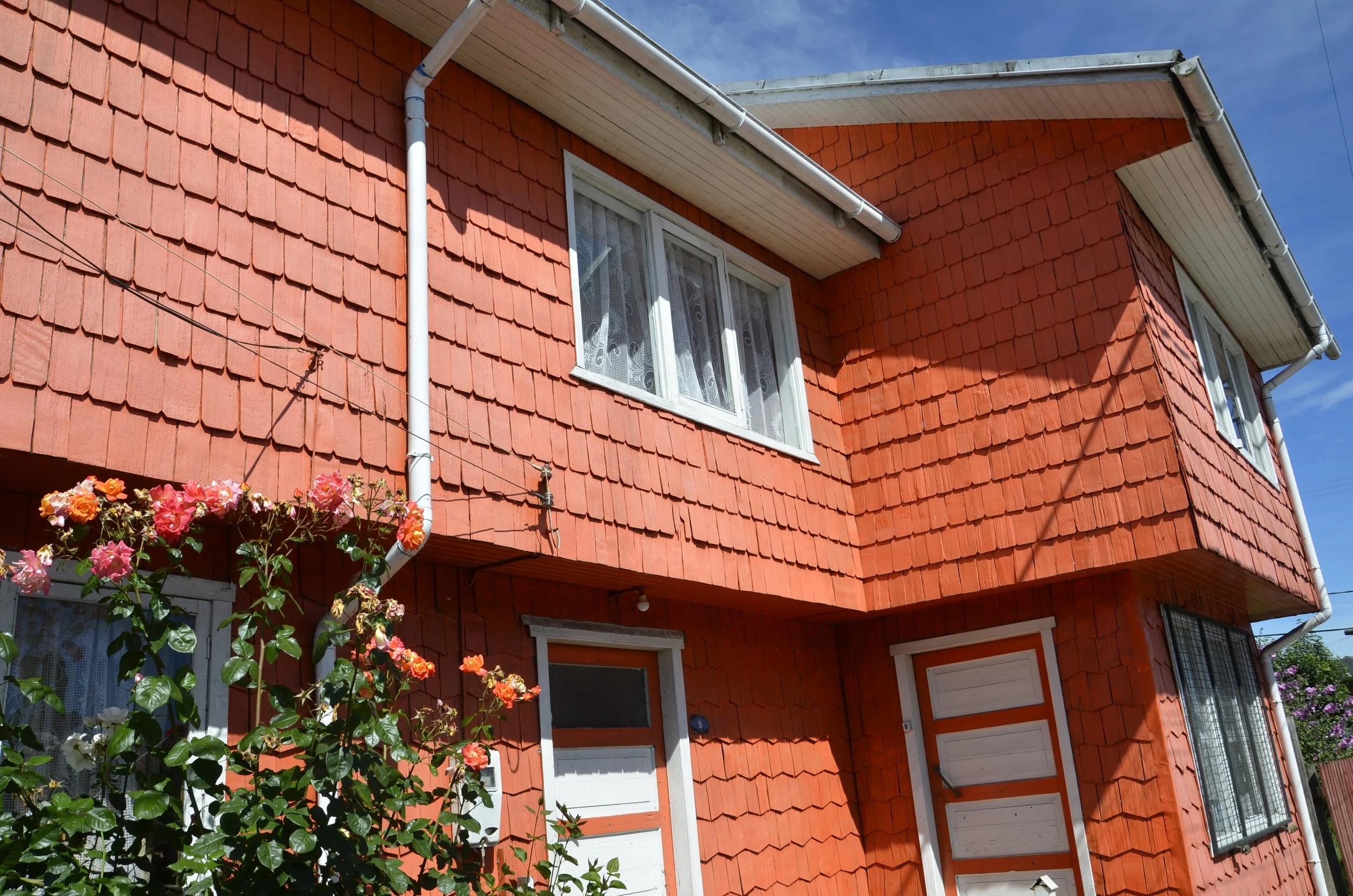
The siding of that house above is made of alerce shingles, from those immense “redwoods” we saw previously at the national park. This is a hallmark of architecture on the Chiloe islands.

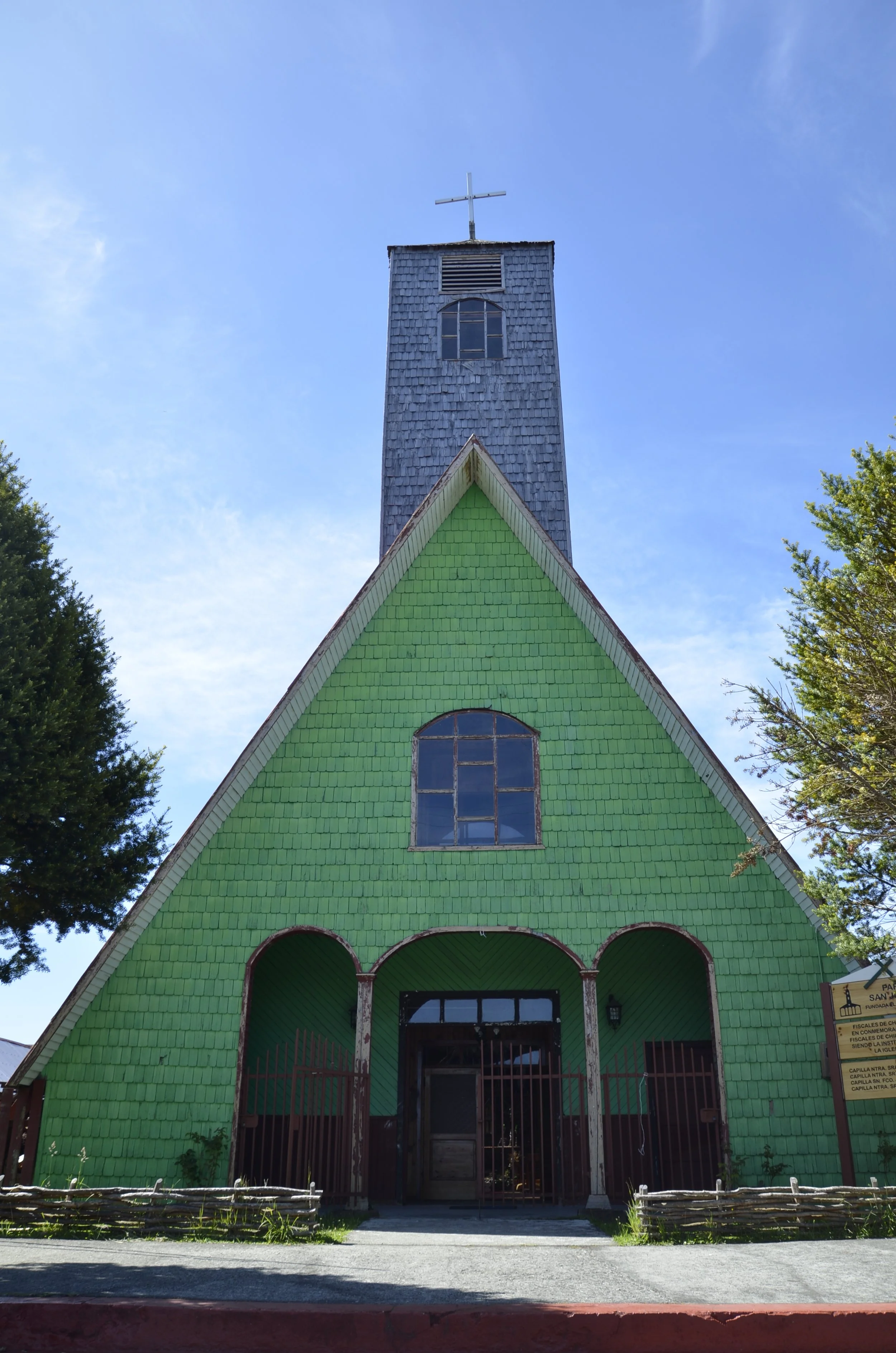
This church has the same siding, and I enjoyed seeing the simple wooden fences all over the island, as you can see at the bottom of the above photo -

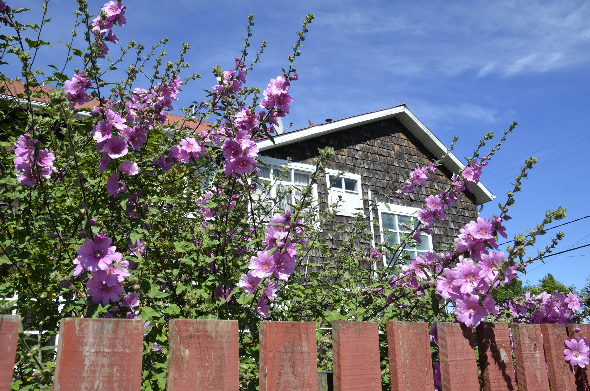
This next picture has several common characteristics of houses in this area… thin lace curtains, alerce siding painted a bright color and tall rose bushes -

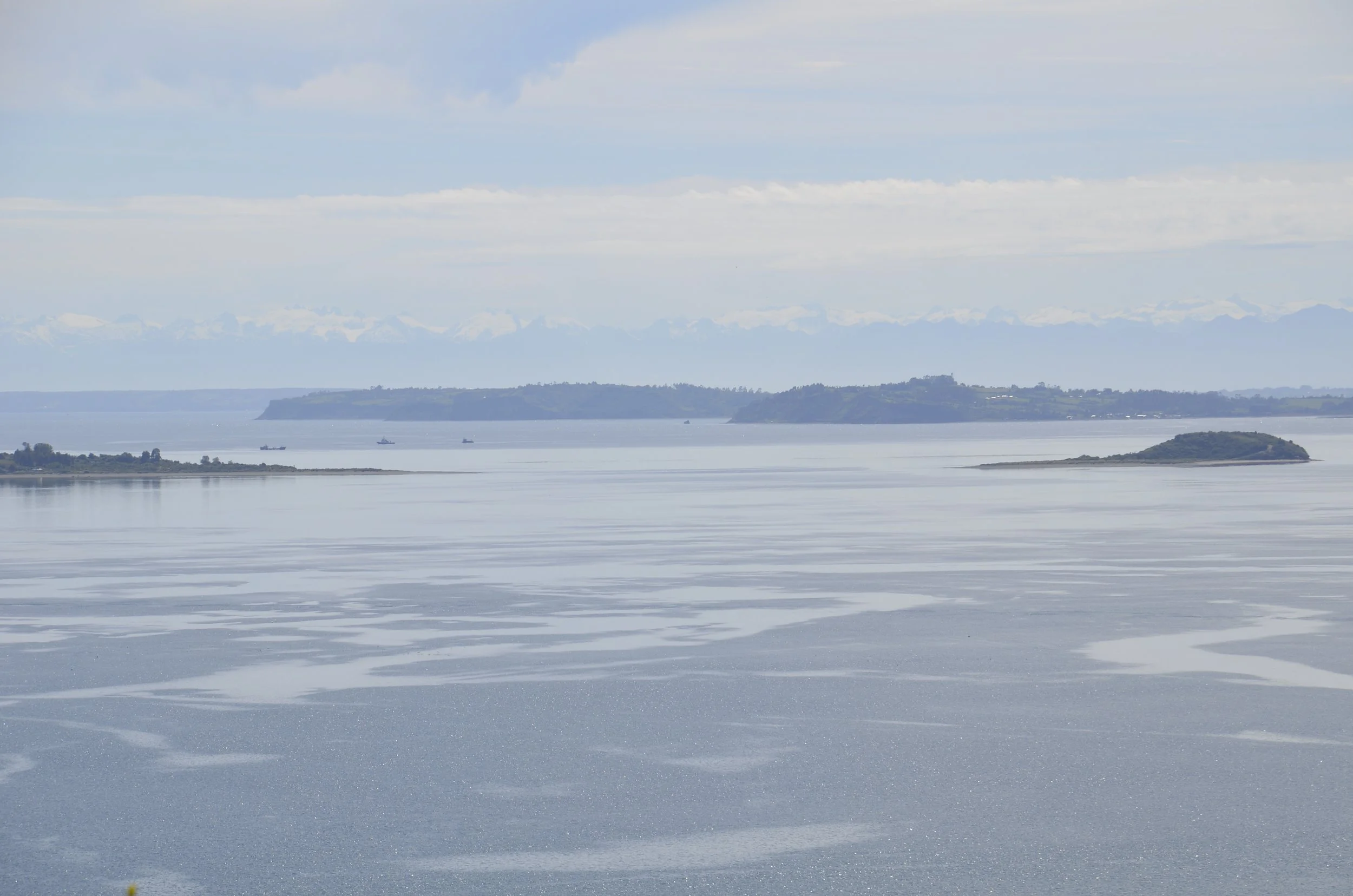
From a viewpoint over the town of Achao, we could see how close the outlying islands were..

… as well as the snow covered peaks on the mainland -

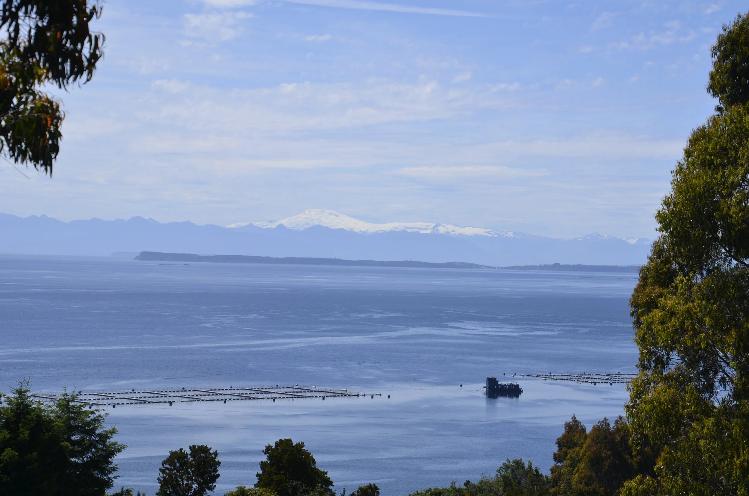
This shot gave me another great view of mountains, but also reminded me to tell you about aquaculture here -

Farmed salmon (that’s what’s in the pens on the water) is big business here, and you can get fresh salmon pretty much anywhere in Chile, for a pretty good price.

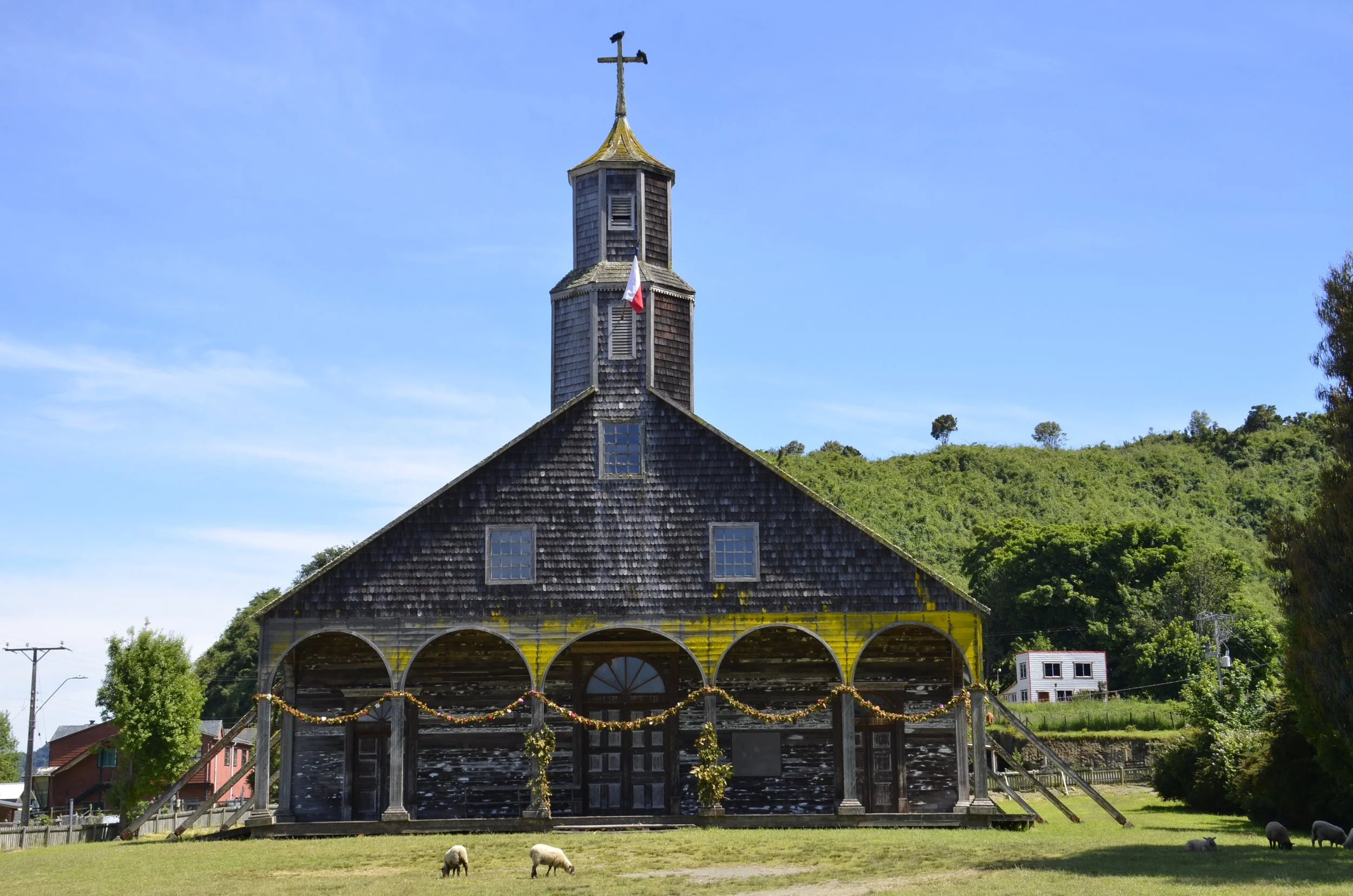
This is apparently the biggest church in the archipelago, located in Quinchao, but it looked pretty deserted to us. There are even vultures on the cross!

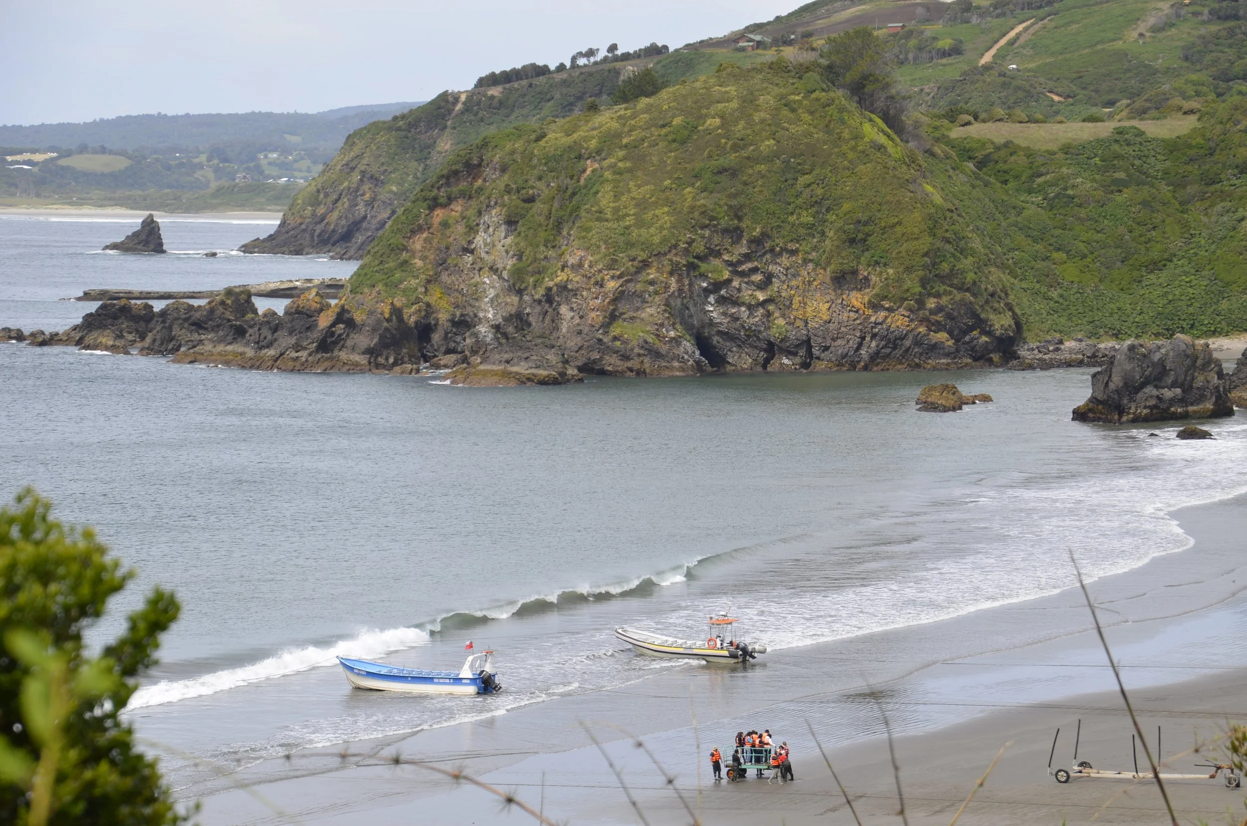
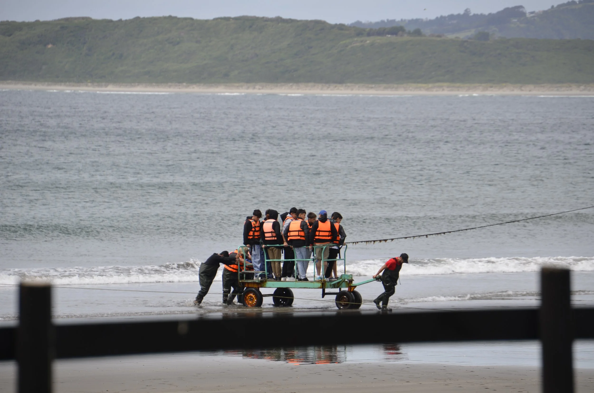
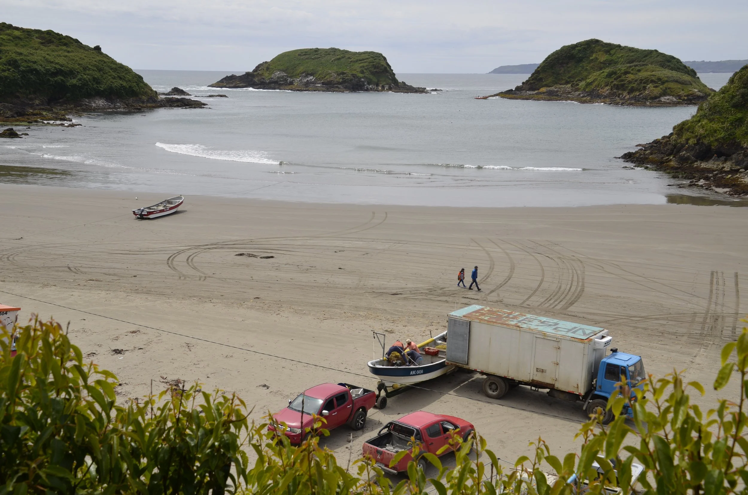
We then headed up to the NW corner of the main island of Chiloe to see penguins. The boat operators have a novel way of getting passengers out to the boats. The boats are left at the surf line…

… and guys in rubber overalls push a cart to and from the boat, keeping the passengers nicely dry -

These offshore islets at Punihuil…

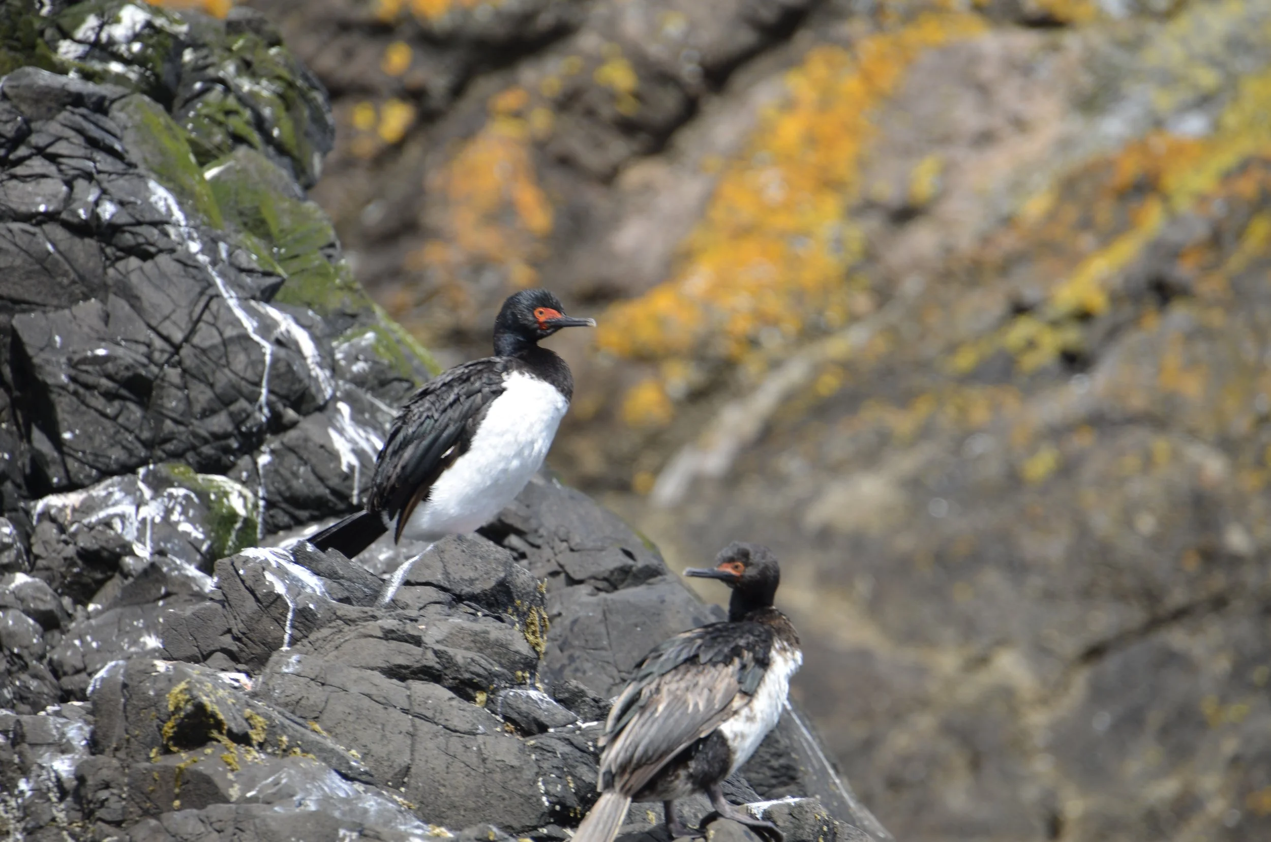
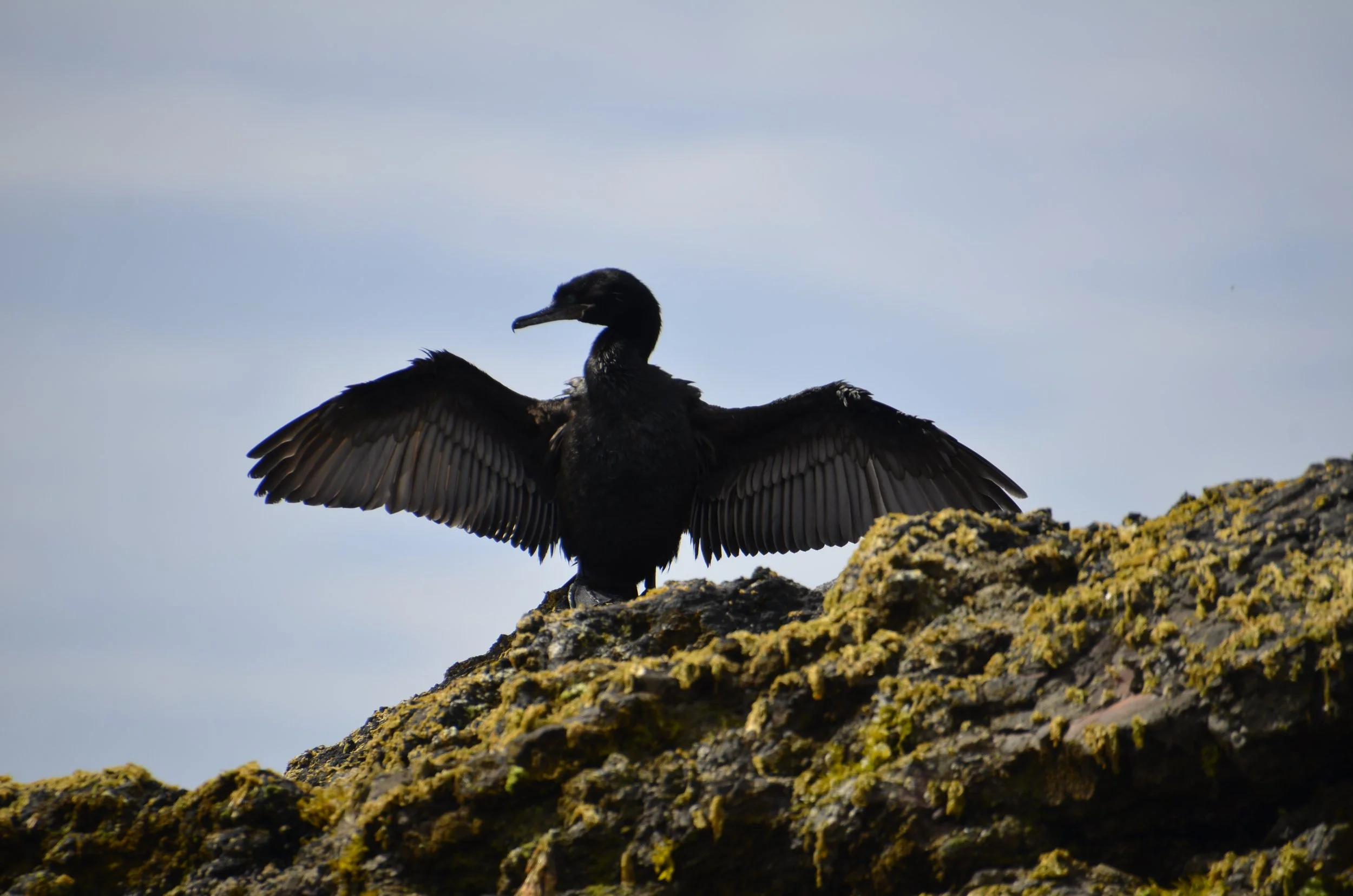
… are home to several species of cormorants…

Guanay

Sorry about the next picture, but it was the best I could get. Enlarge the picture to see the beautiful blue eye -

Neotropic

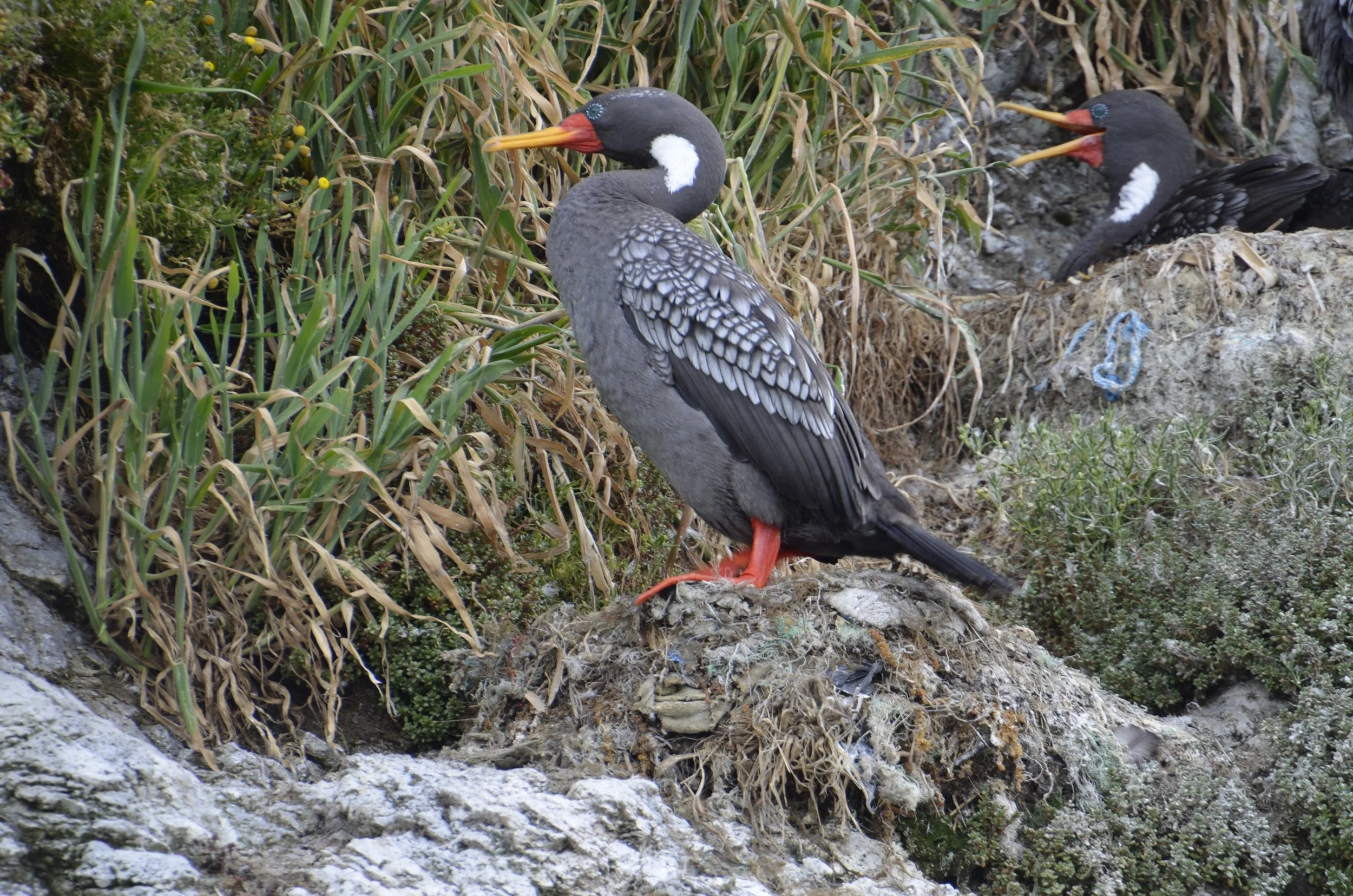
… and I was blown away by this beauty - the Red-legged Cormorant -

(check out the detail around the eye!)

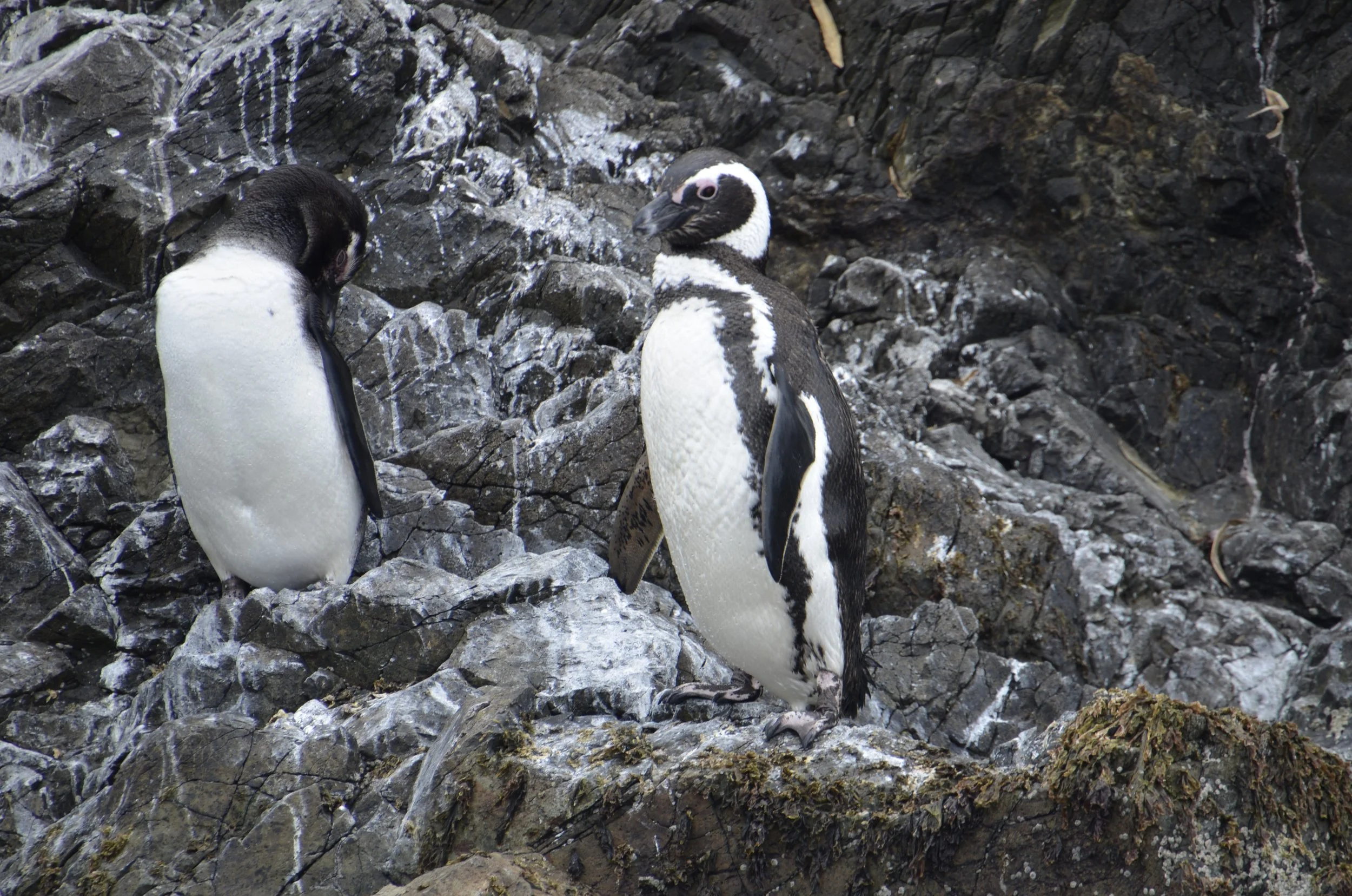
There are also 2 species of penguins here, and it’s the only place in the world that they nest together. Magellanic penguins were the more numerous…

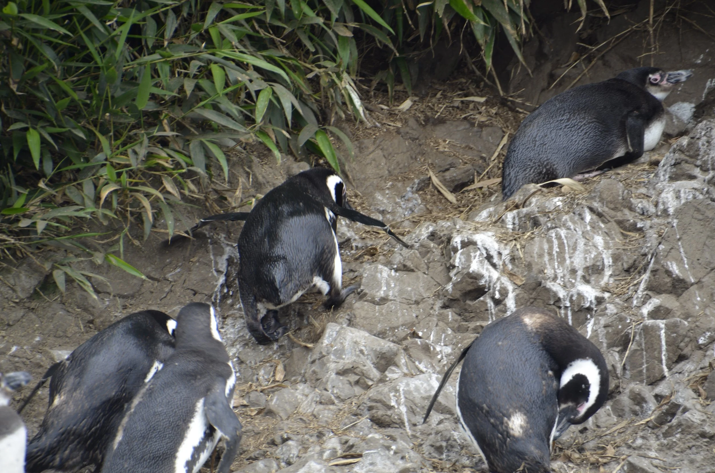
… and they have the separate dark breast band as in the one on the right, above. The Humboldt penguins have more bare flesh around their bills, and lack the breast band -

the one laying down in the upper right corner has more flesh around the bill and no breast band, thus Humboldt

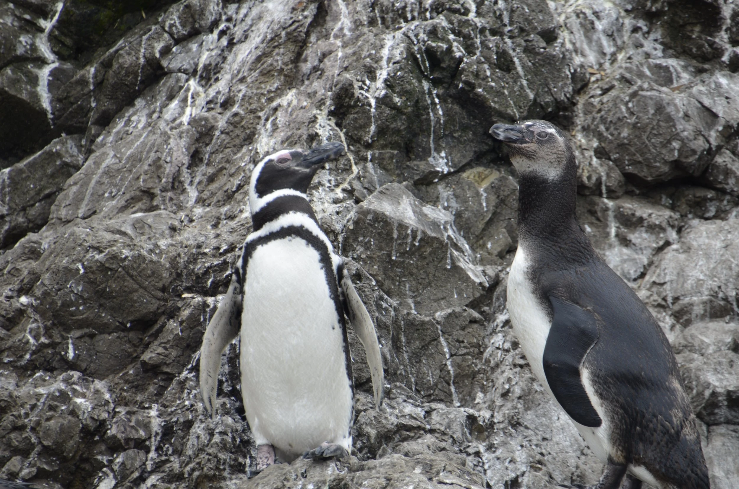
These two look to me to be the two species posing side by side! L- Magellanic, R- Humboldt…

Turning now to food… one of the dishes we both wanted to try is a classic (and only served on Chiloe) — Curanto:

Historically, it is cooked in a pot that cooked underground, but no matter how it’s done today, it’s a huge amount of shellfish, chicken, pork, sausage and potatoes. It was delicious and quite filling. That bowl above was only 1 order (but satisfied both of us), and cost about $14!

Closing with a sunset view from our “stilt hotel” -

Chilean National Parks

The title of this post is kinda vague, but I’m including several parks that we visited over the course of a few days. As you’ve noticed from these posts from Patagonia, we prefer nature and wild places to cities with crowds.

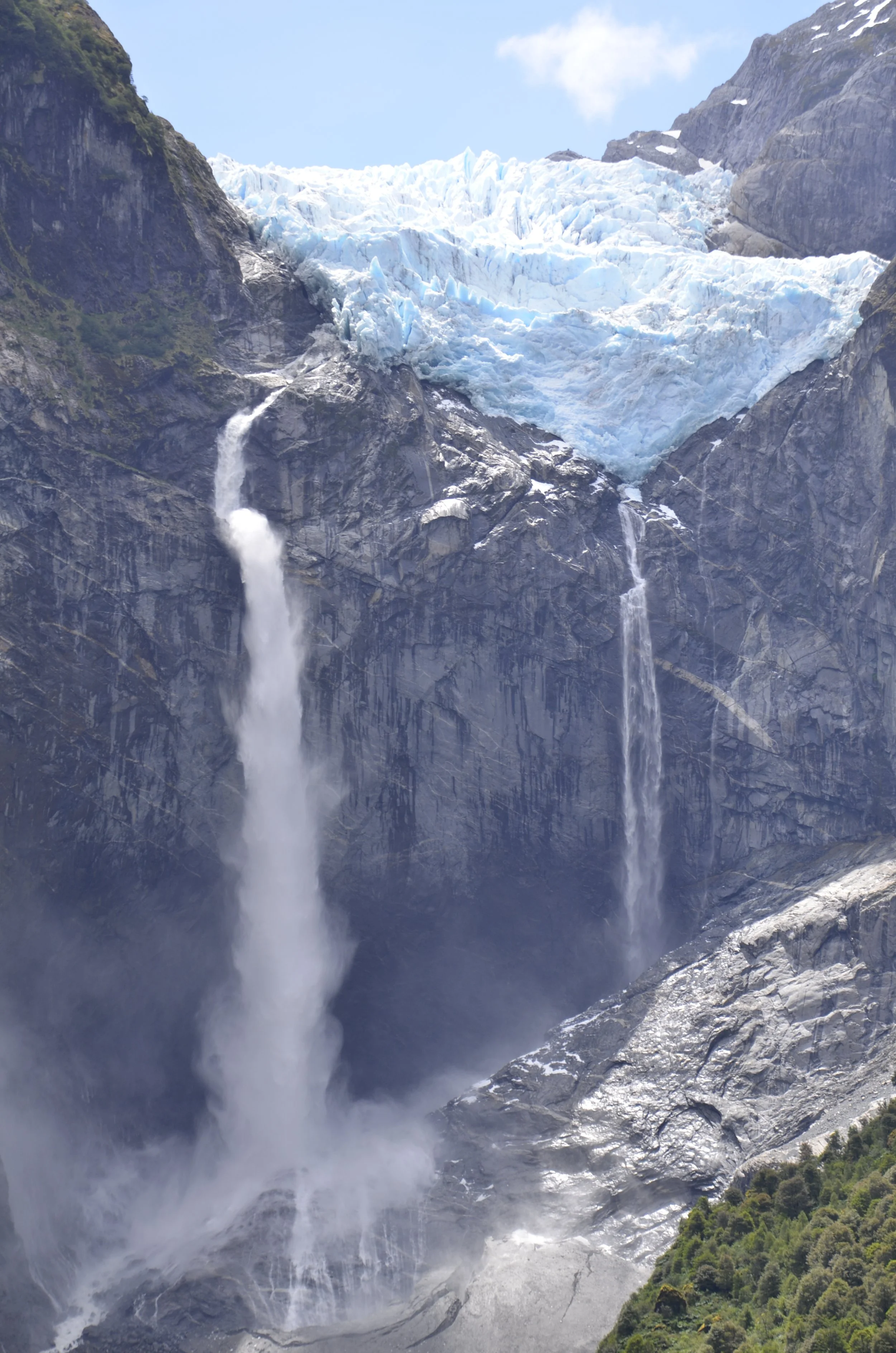
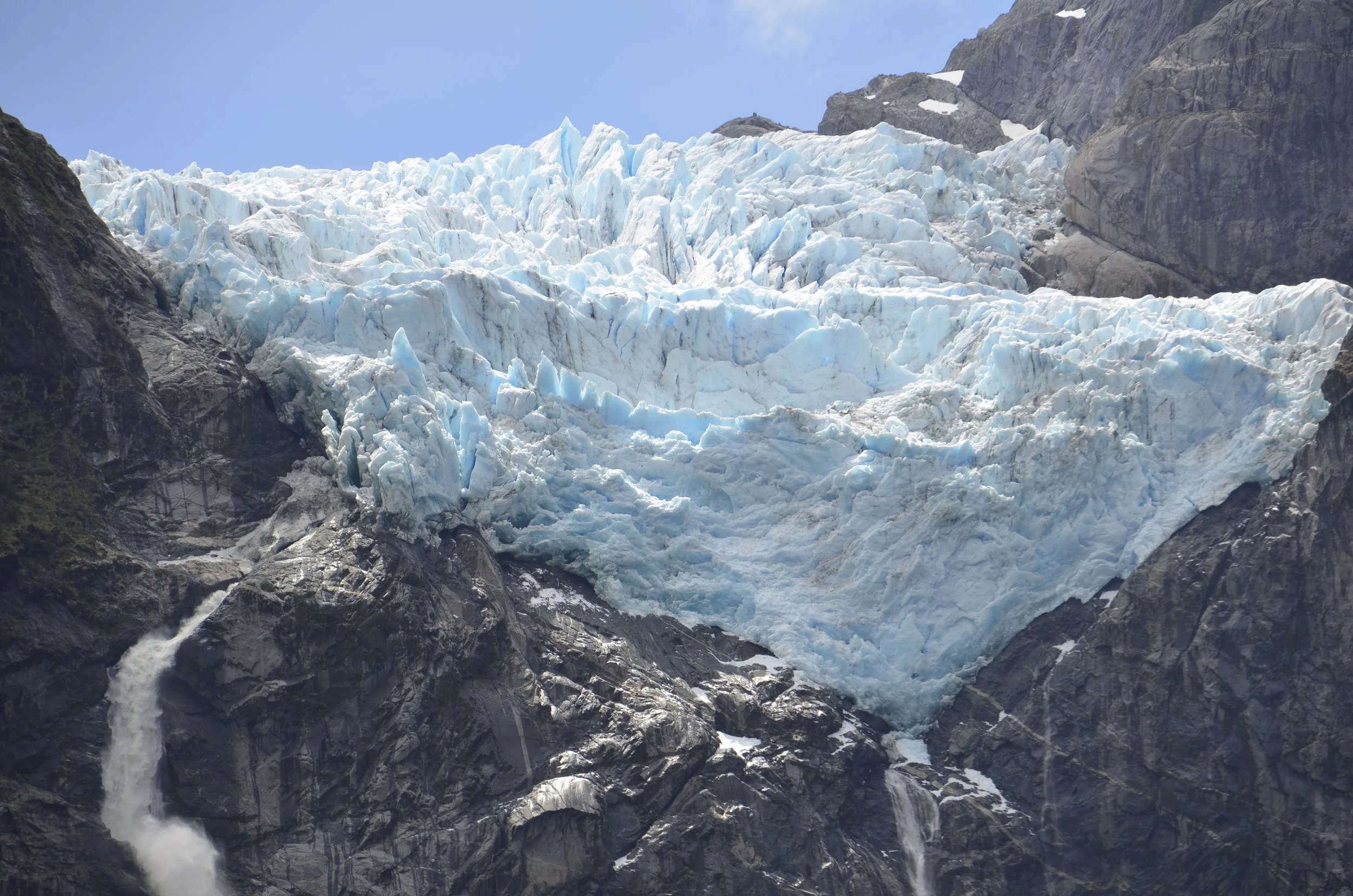
The next park we visited was Ventisquero Colgante, with ventisquero translating as “snowdrift”. This is a hanging glacier with impressive waterfalls, and of course it took a moderate hike to get to a nice viewing area.

This is the runoff from the glacier that you can see a bit of, in the upper center of the next picture -

Blankets of mosses and ferns covered everything, including rocks!

Water, water everywhere (running down hillsides)…

… and even down the middle of the trail…

… making things just “a bit” muddy -

As we were climbing, we heard a big boom and knew that part of the glacier broke free. We were bummed that we had probably missed our only chance to witness this, but we had to just keep climbing. At the top, we reveled in the big picture…

… and I enjoyed using my long lens to appreciate details -

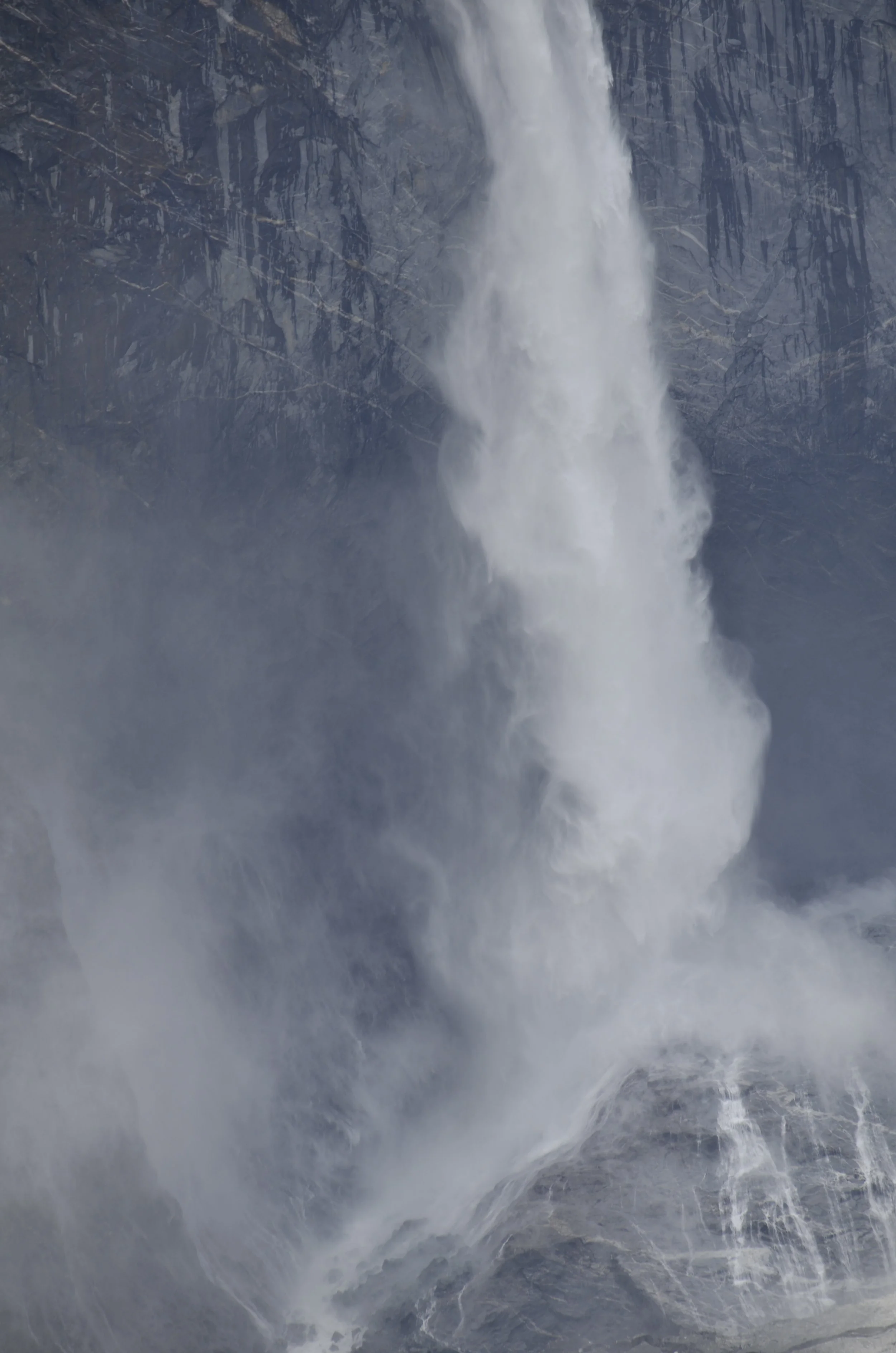
When I looked up details on the falls, I found that they are estimated to be 1,800 ft tall, but could be 2,000 ft, due to a lack of reliable measurements. This puts them among the 5 tallest waterfalls in South America. I really liked how the water just turned to mist by the bottom -

As I was watching the mist swirling and starting to take a video of it… (please be sure and open the video in a browser, and have the audio on) -

… I caught it!! Wow - that was some boom!

I also loved the blue of the glacier -

So, we were moving on…

… passing more rivers and mountains -

Most bridges are one lane…

… even over the widest rivers -

The next day we had to leave our beautiful Lago Yelcho…

… and head to Pumalin Park. This is a 1,000,000 acre national park created by Tompkins Conservation, endowed and led by Doug and Kris Tompkins of North Face and Patagonia, Inc. fame, respectively.

We wanted to hike to the viewpoint of that glacier you see in the picture above, but unfortunately, the road to it was being repaired (and was going to reopen 2 days after we left!). So, we happily settled for a quiet walk in the woods…

… except for a loudly babbling brook…

… and this lil’ fella -

This is a Chucao Tapaculo, and they are only found in southern Chile. He put on quite the show for us -

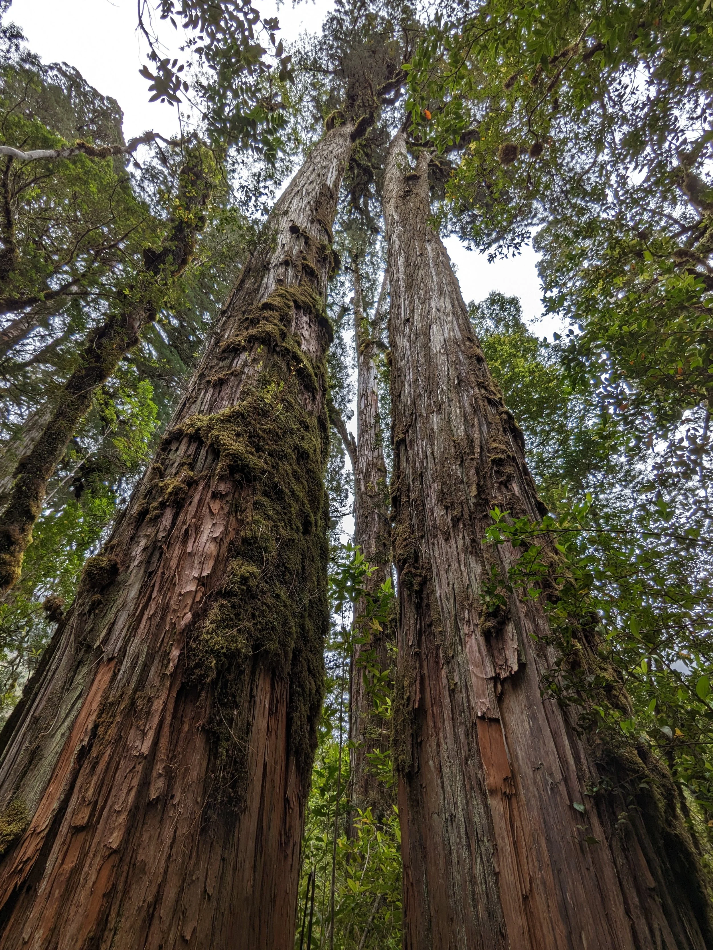
After driving nearly 2 hours around to the other end of Pumalin Park, we were able to visit the ancient Alerce trees. They are known to live for thousands of years, and to me, they somewhat resembled redwoods, but are actually in the cypress family.

They are truly massive - 150-200+ft tall and with a diameter of 15 feet.

The branches made a kind of spidery avant garde art -

It was so cool how the branches were so covered with other plants that they looked “fuzzy” -

Here I am for scale (and this shows how red the wood is) -

The overgrowth on branches -

This made me think of Christmas -

Merry Christmas everyone!

Puyuhuapi

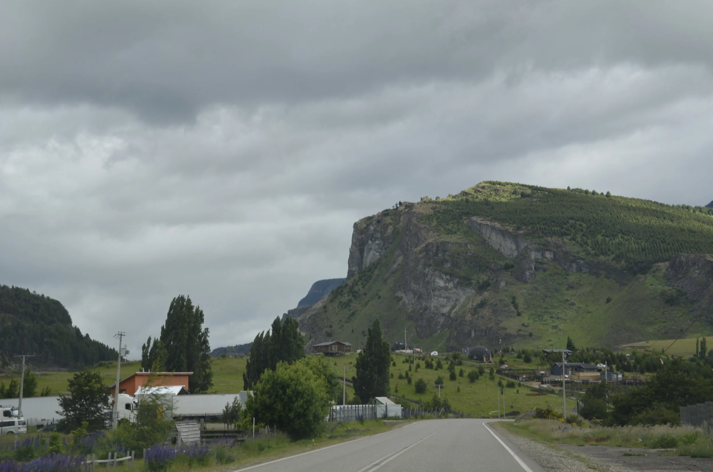
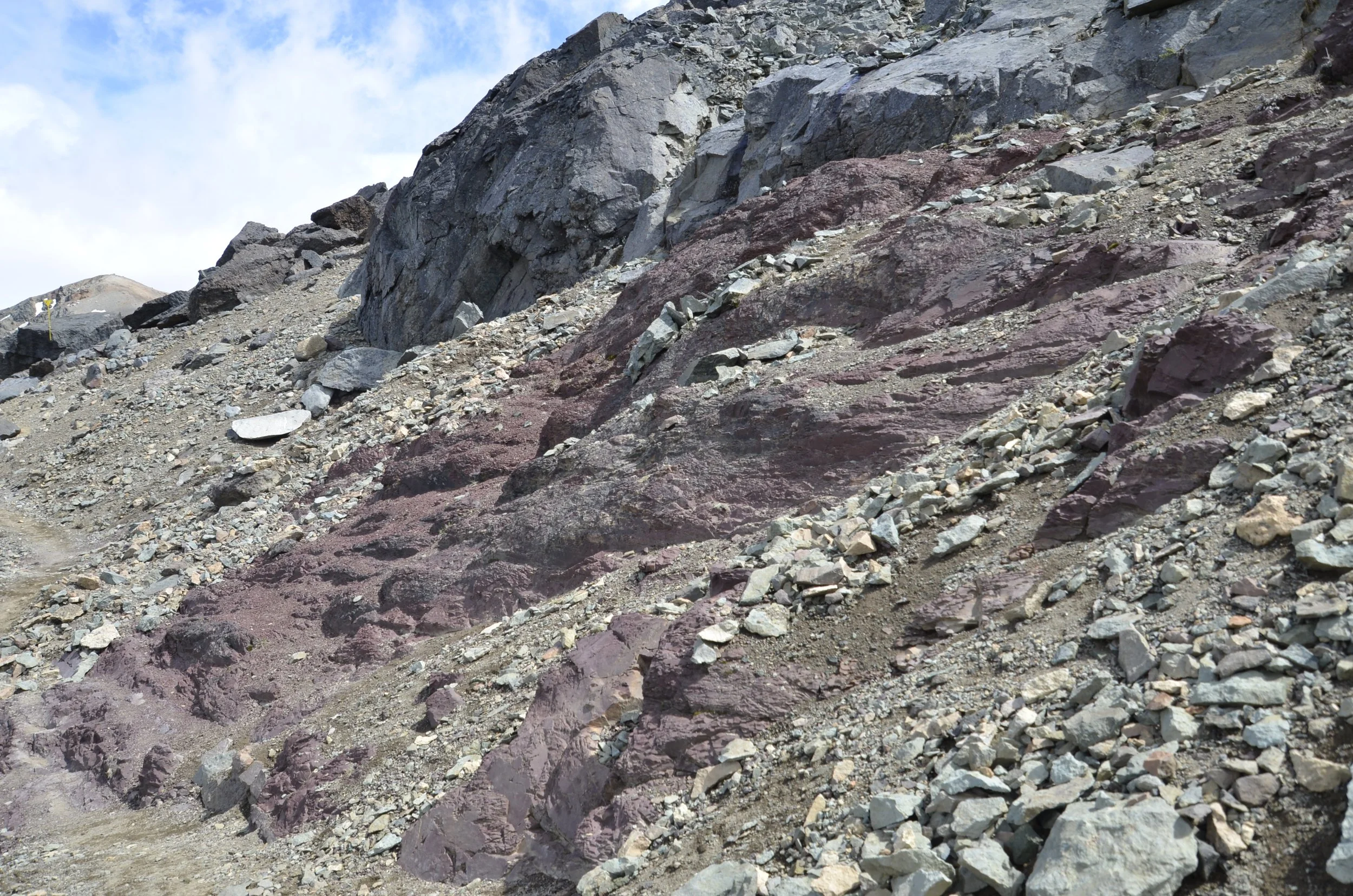
This was our next destination.  It is a small town at the head of a fjord, deep in the temperate rainforest.  On our way north from Cerro Castillo, we passed interesting geology…

… that kept getting greener…

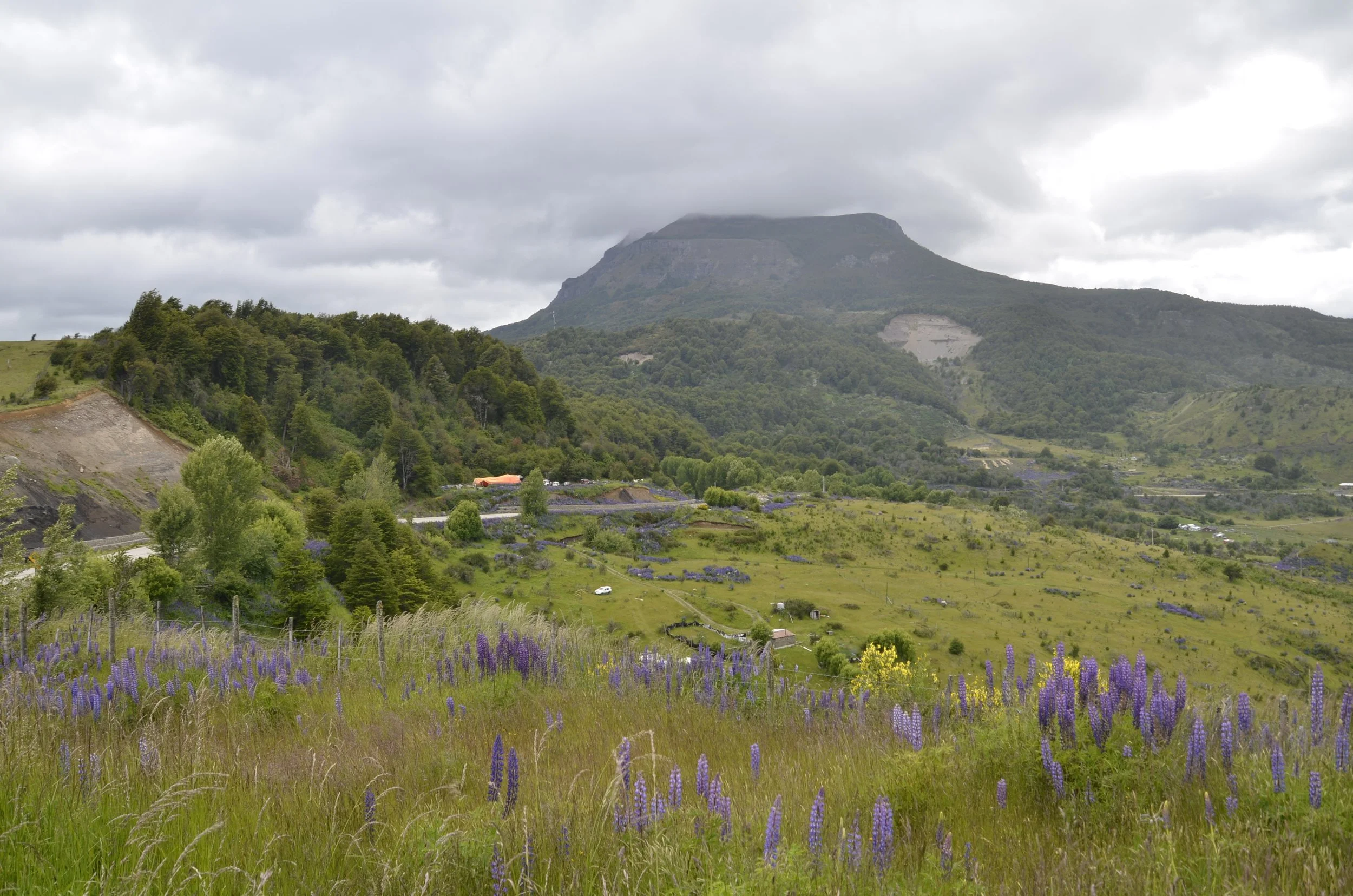
… and more purple (from the lupines) –

The mountains kept growing also –

As you can see from the pictures, it was quite the rainy day…

… but when it cleared a little, we’d stop so I could get a picture of the lupine-lined riverbanks –

This was a random waterfall at a corner of a set of switchbacks, that sometime in the past, someone had built a staircase (to a trail we didn’t explore).  I thought it added a nice sense of scale.  This was one of the rare wide spots in the road that I could get out and take a proper picture.

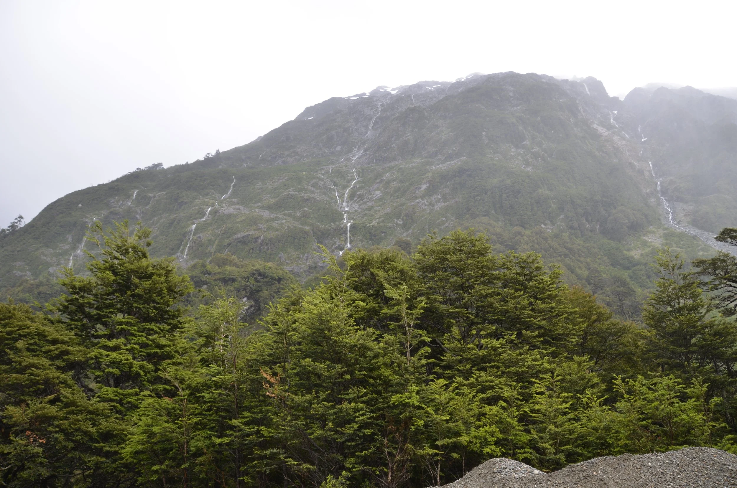
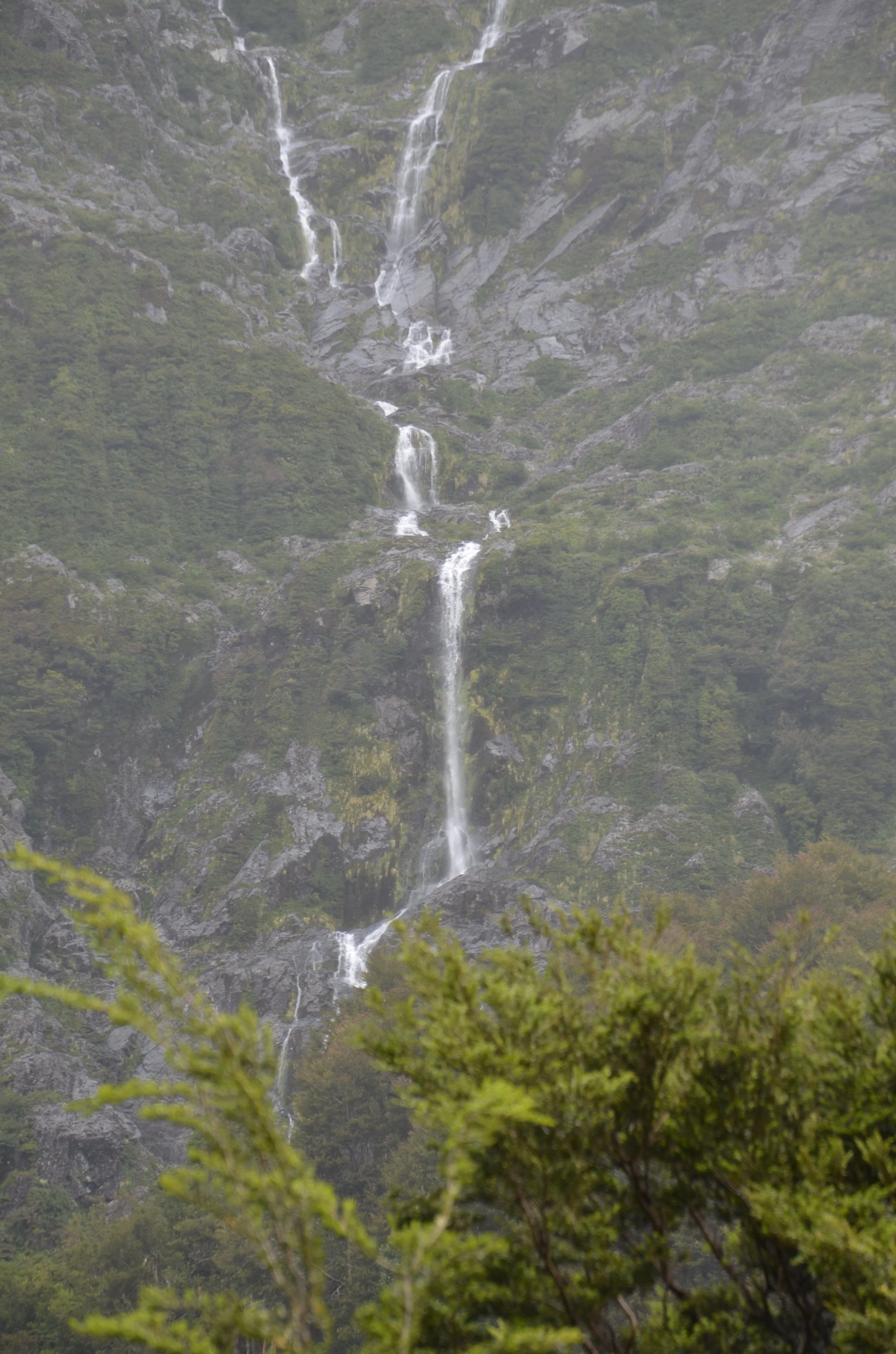
More waterfalls on a hillside (probably coming from the glacier/ice field on top that we can’t see)…

… and the middle one up close –

One of my family members has asked how fast we’ve been able to drive on all the gravel roads you see in my pictures.  First, a little explanation about the roads (in both Chile and Argentina).  The main north-south routes are heavily traveled (by trucks), and I guess when they get so pot-holed that it’s useless to try to patch them anymore, they just tear up the asphalt, leaving a gravel road behind.  Well that soon becomes pot-holed or becomes washboard (especially on uphill stretches).  The stretch of road to Puyuhuapi was literally the worst road we encountered in our month of driving so far, and it lasted 100 km!

As the car in the above picture shows, we’d have to nearly drive on the side of the road to try and miss a few of the potholes.  So, to answer the driving speed question, it all depends!  Some gravel roads would have smooth tracks that we’d move on down at 70 kph (nearly the speed of paved roads near towns), while those above would be a jolting rock and roll at 20 kph. 

This sight was not fun to meet at the corner of a tight switchback  (and no, I didn’t get a picture of that) –

This was the road just before we met the semi –

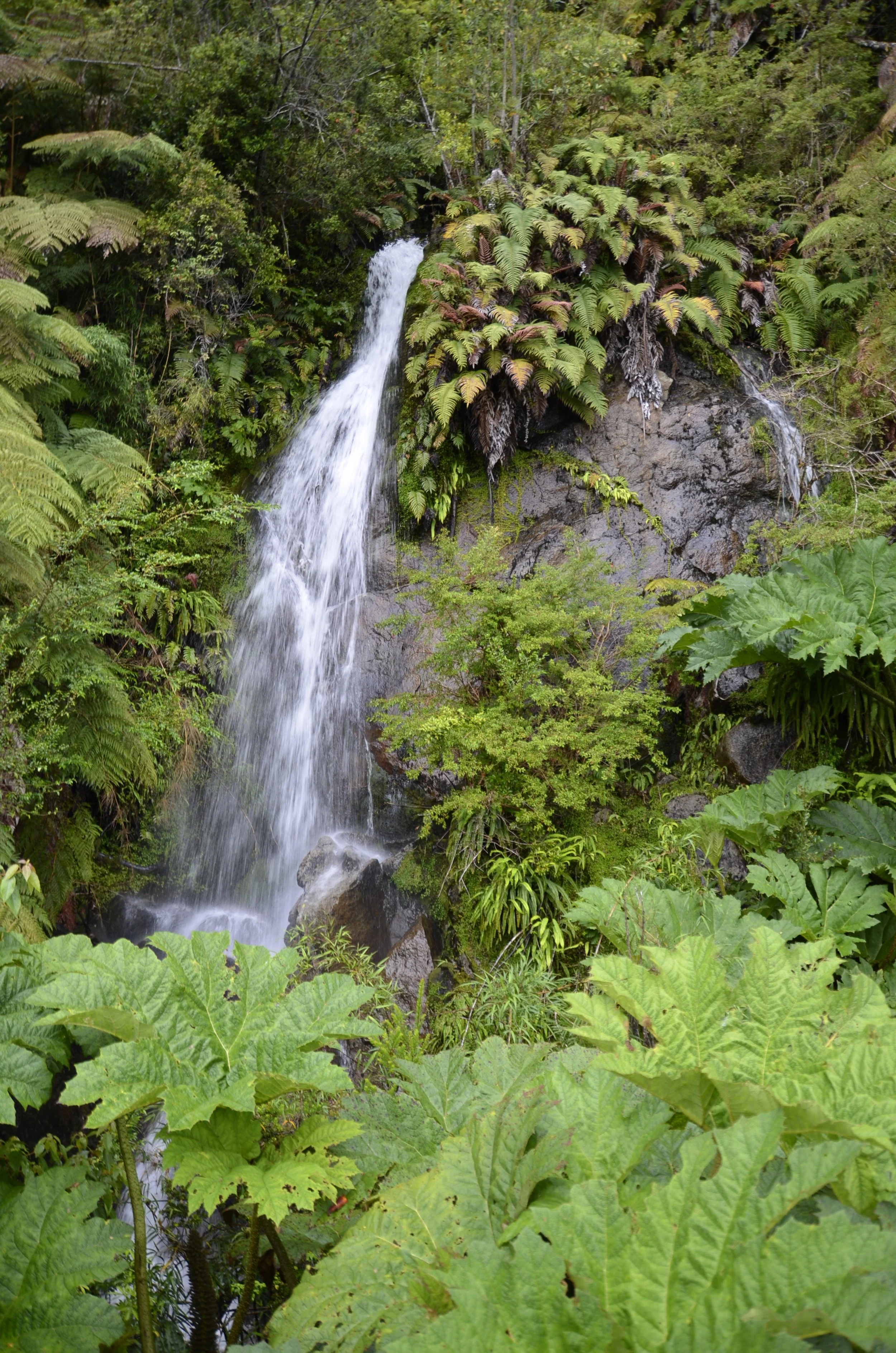
As we neared our destination, there were random waterfalls on the rock walls next to the road…

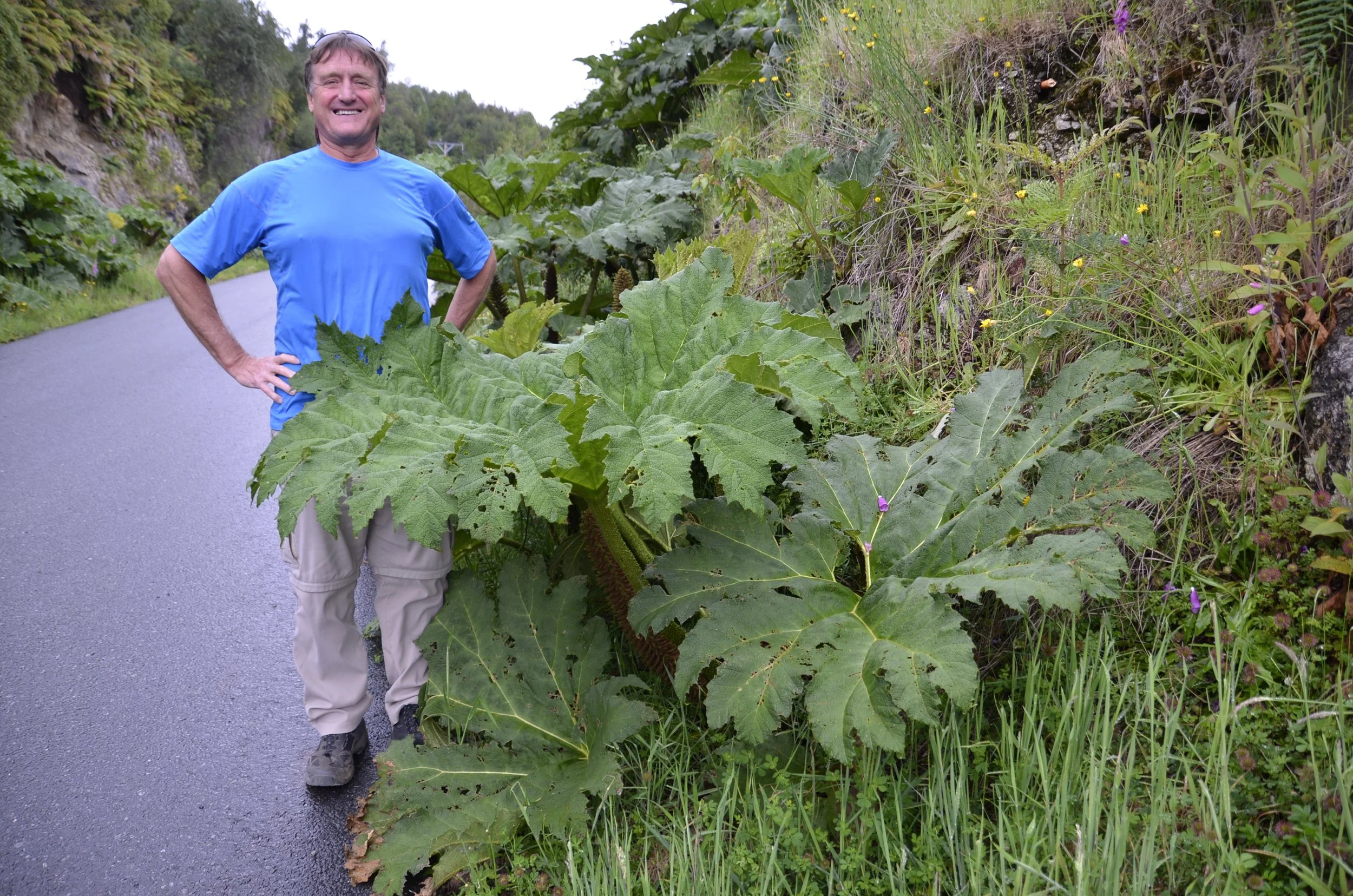
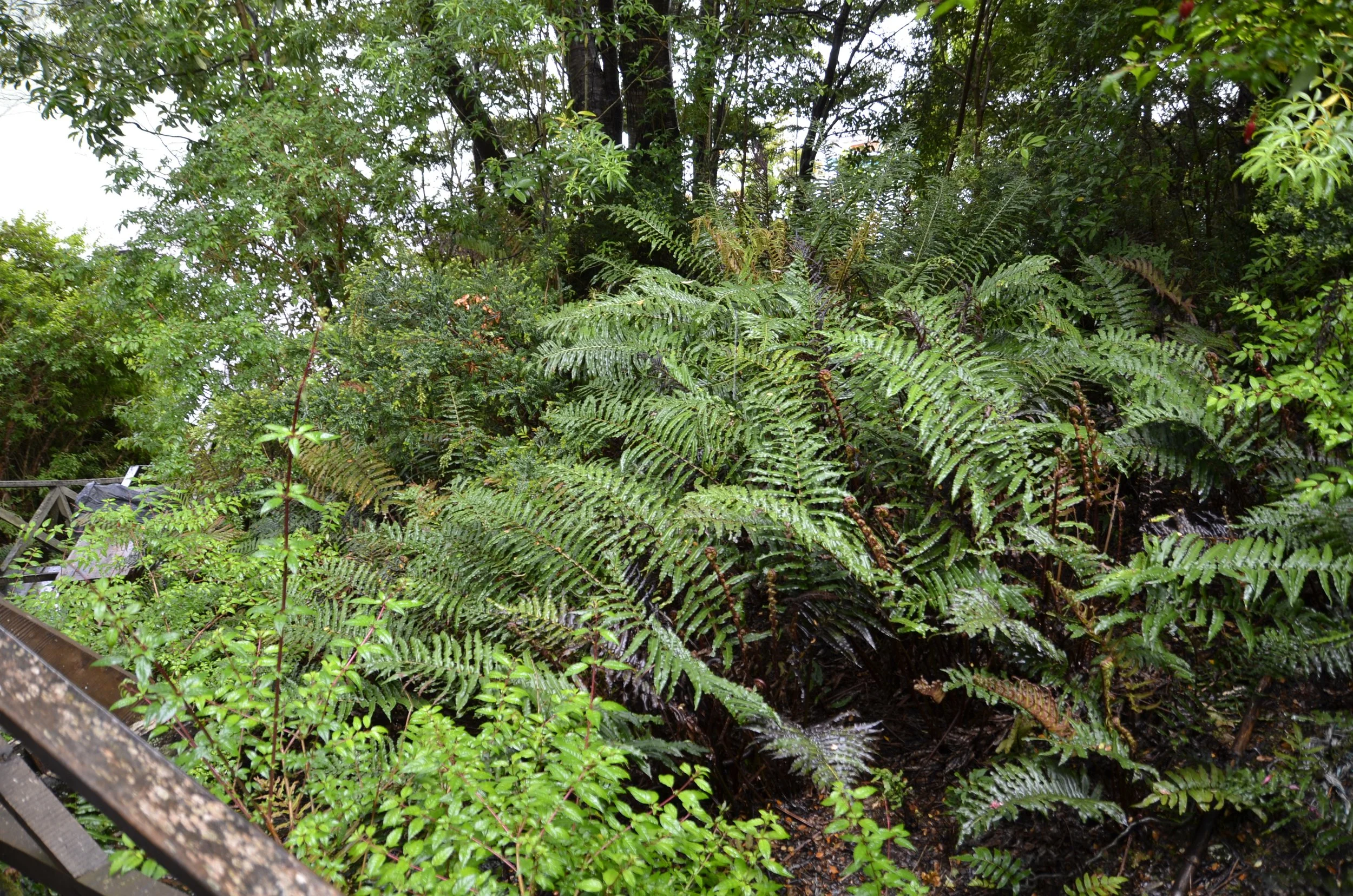
… that fed the prolific ferns and Giant Rhubarb.  Steve was deluding himself that he needed this big of a “fig leaf”.

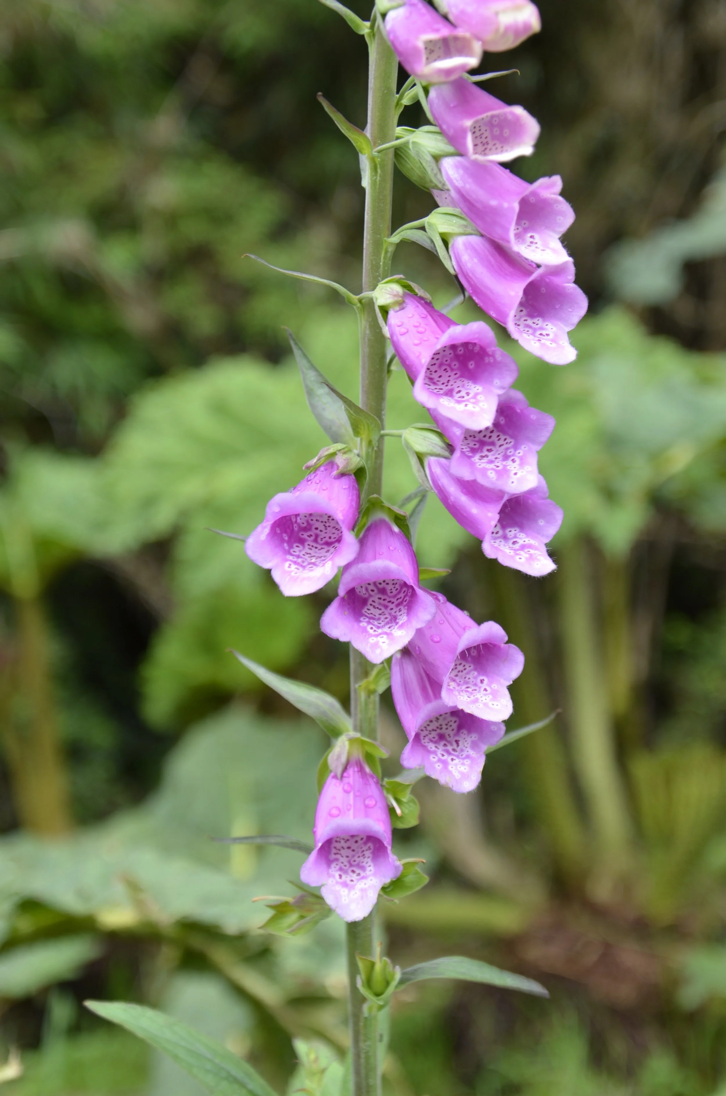
These plants are truly massive and grow everywhere in this climate.  They are also commonly associated with Foxglove, which are quite photogenic up close -

Our destination was Puyuhuapi Lodge, and it required a boat ride to get us over to the island and its thermal pools. This was the view from our room on arrival -

It rained our arrival afternoon and through the night, but was gradually clearing as the morning progressed. I wanted to go on a walk in the rainforest, but Steve declined because of the need of wearing rubber boots due to mud. I soldiered on, and had a very interesting outing. There was a lot of deep mud on the trail…

… and at times, the mud was over ankle deep, making it challenging to retrieve the boot after I nearly pulled my foot free from it! There were ferns everywhere…

… as was the water -

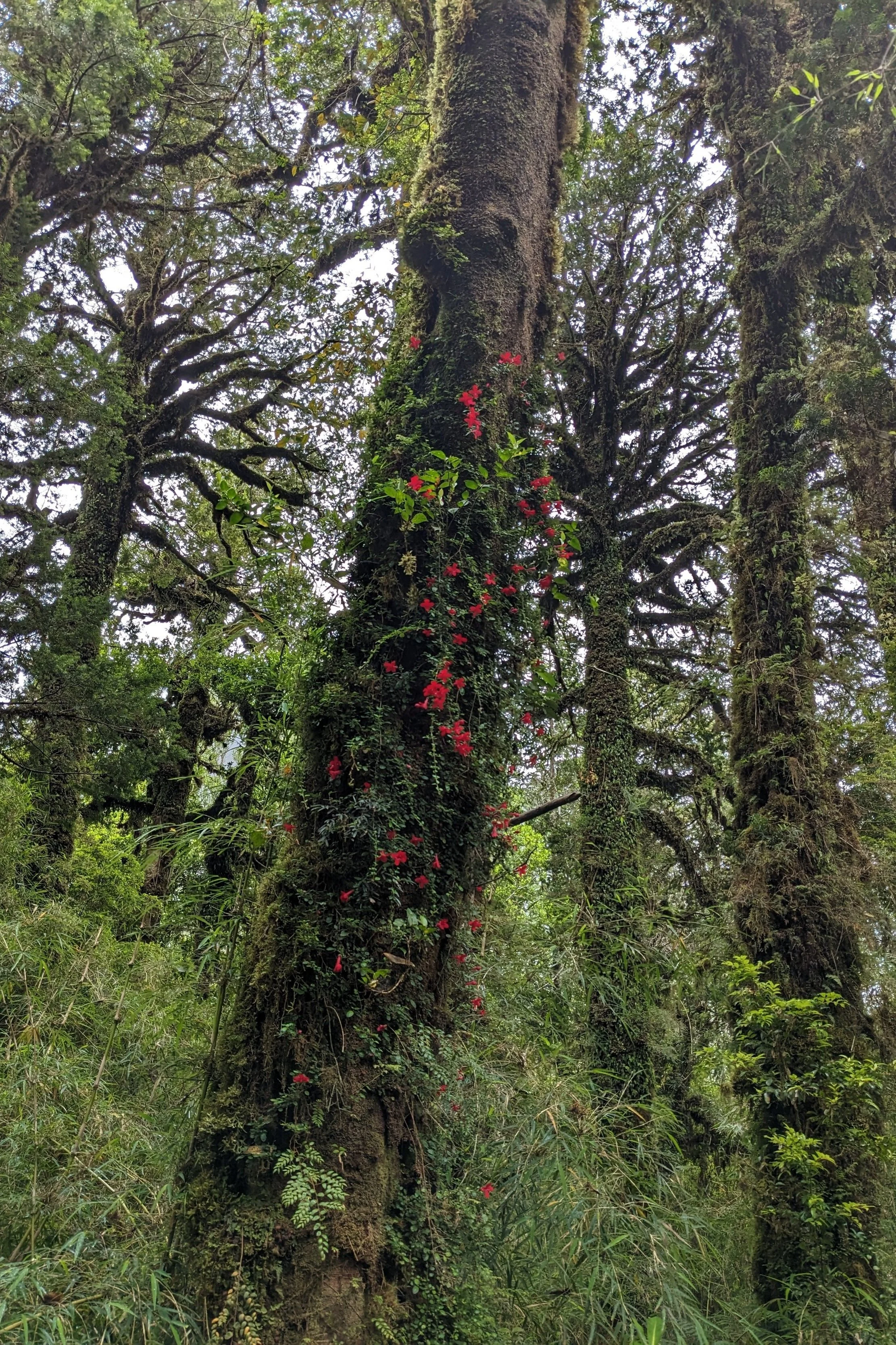
This vine had nearly taken over this trunk -

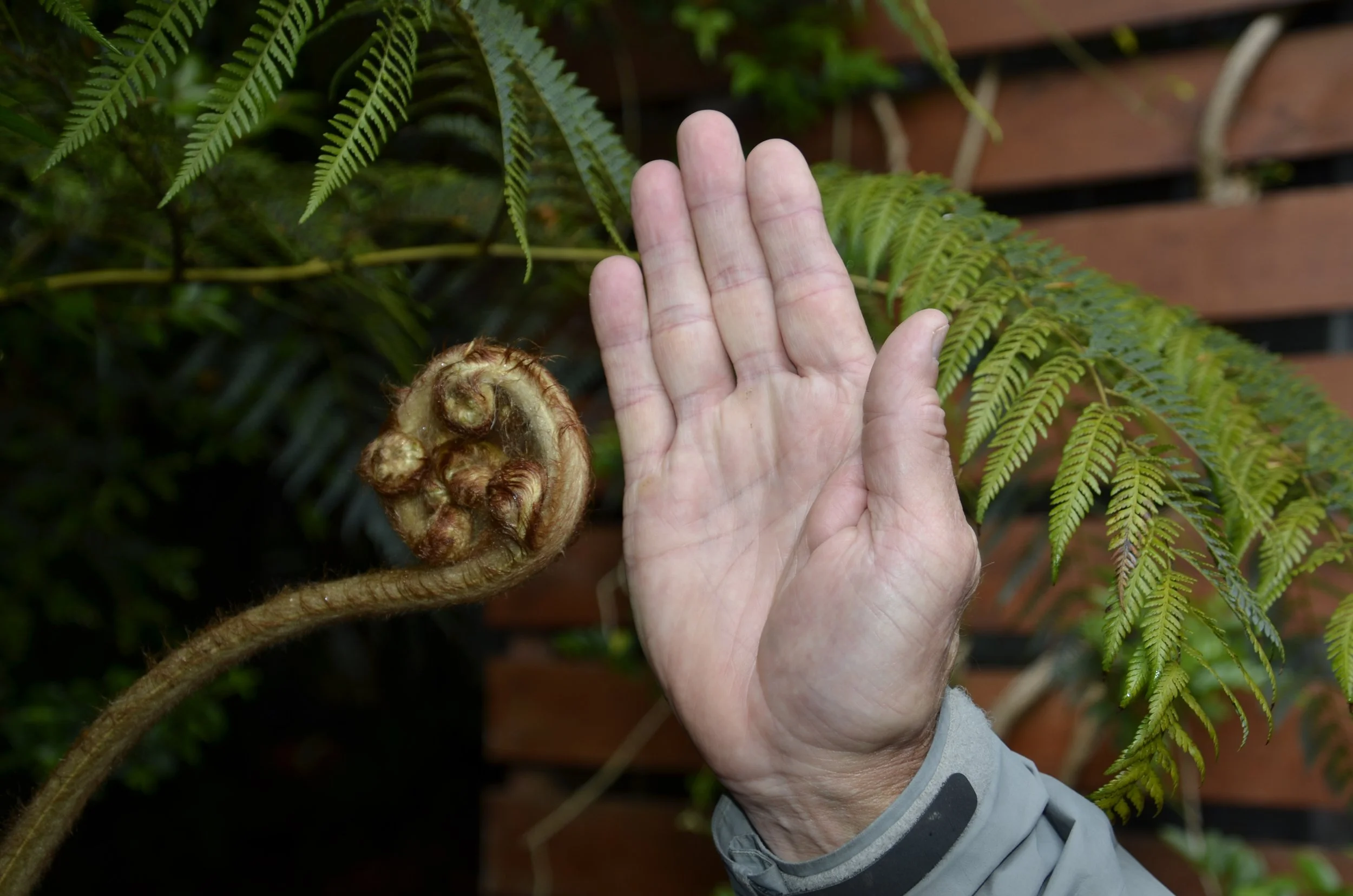
New fern fronds came out red -

Our travel agent had recommended that we stay at this lodge because of the thermal baths and spa. We had checked out all of the “hot tubs” and this was our favorite because it was so natural and was secluded -

Our second night granted us this nice reflection…

… but the morning we left blew it out of the water!

Laguna Cerro Castillo

So we stayed in a tiny town called Villa Cerro Castillo that has the mountain overlooking it -

This was another pretty big hike to get up there and see a beautiful lake, so of course we had to go for it! This was our first hint of our goal, as we started -

As we carried on, the skies continued to clear…

… and we got to see more and more of the valley below us -

As we climbed higher, we got above tree line…

… and into some really neat rocks -

I thought it was really cool that at the end of the valley, way down below, there were turquoise, as well as aqua, blue lakes -

Woohoo! We reached the top!

Laguna Cerro Castillo -

What an amazing blue! And we had the entire place nearly all to ourselves! (for the next video, be sure to open this post in your browser)

We felt like this hike, somewhat shorter and easier than Torres del Paine or Fitzroy, was just fantastic, as the views were as stupendous, and it had so few people. Our elevation gain was 3600 ft, and the total hike took us 5 1/2 hours to cover 8 miles.

We actually waited around for the skies to clear, so I took pictures of pointy mountain peaks…

… glacier edges with waterfalls…

… and neat valleys -

The blue was mesmerizing for me -

As clear of peak as we could get, with blue sky background -

As we headed down, the valley was lit up and gorgeous -

Steve was able to show the slope of the hill we were crossing -

What a great day!

Catedral de Marmol

We had to leave our lake reflections…

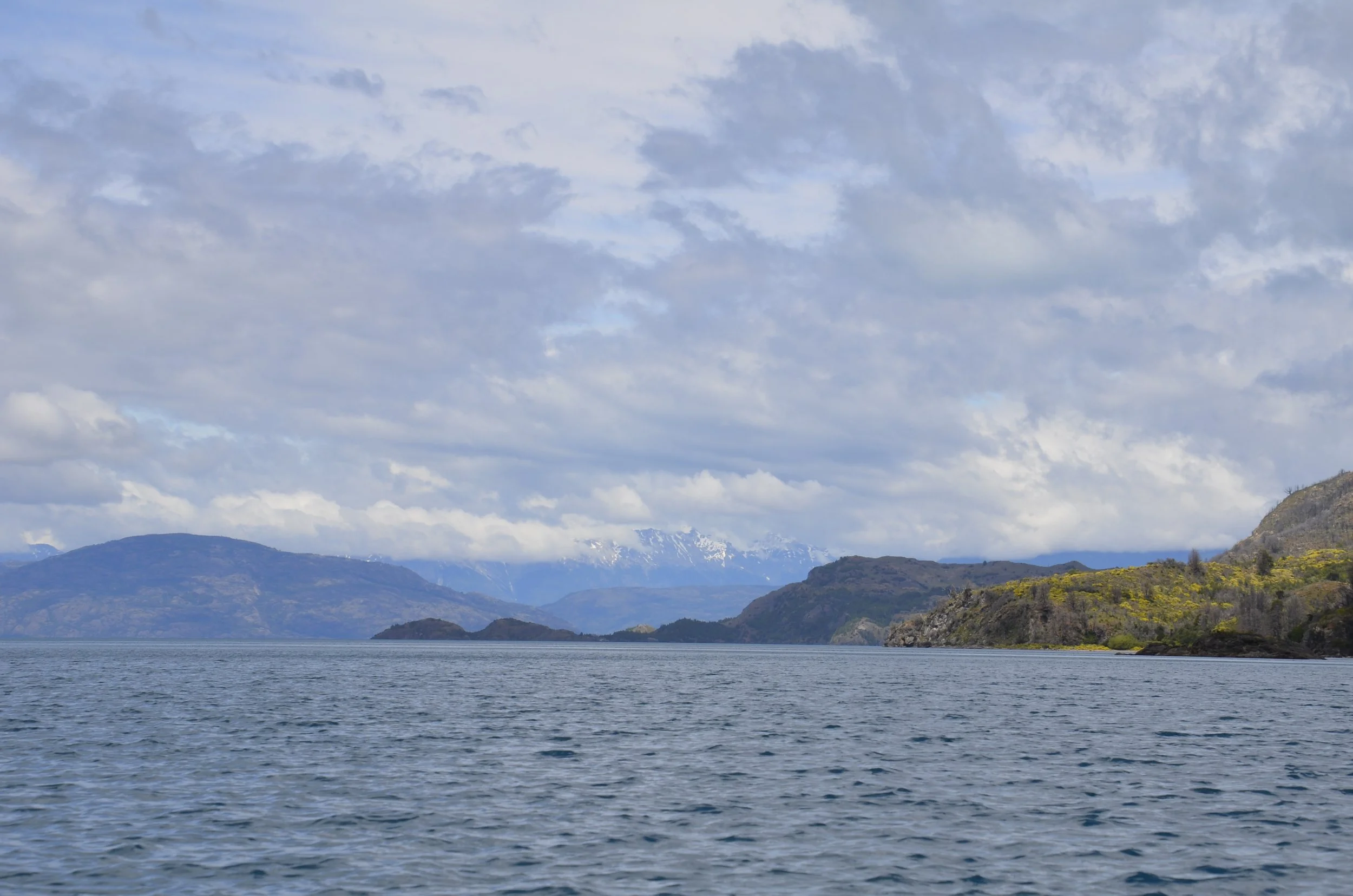
… but drove along Lago General Carrera for over an hour -

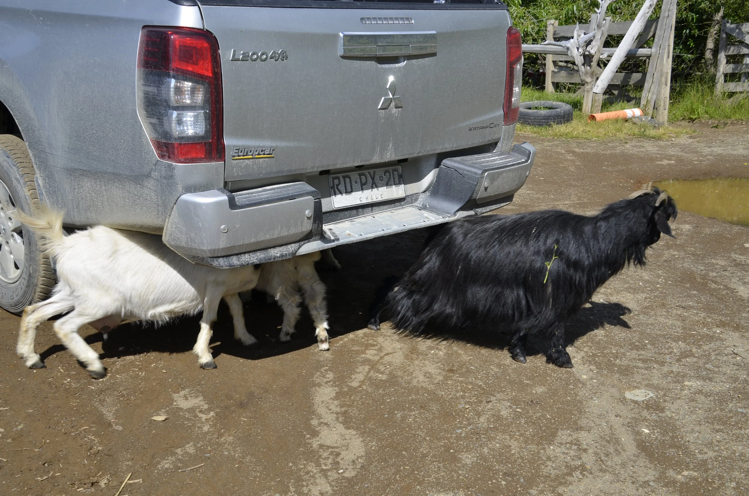
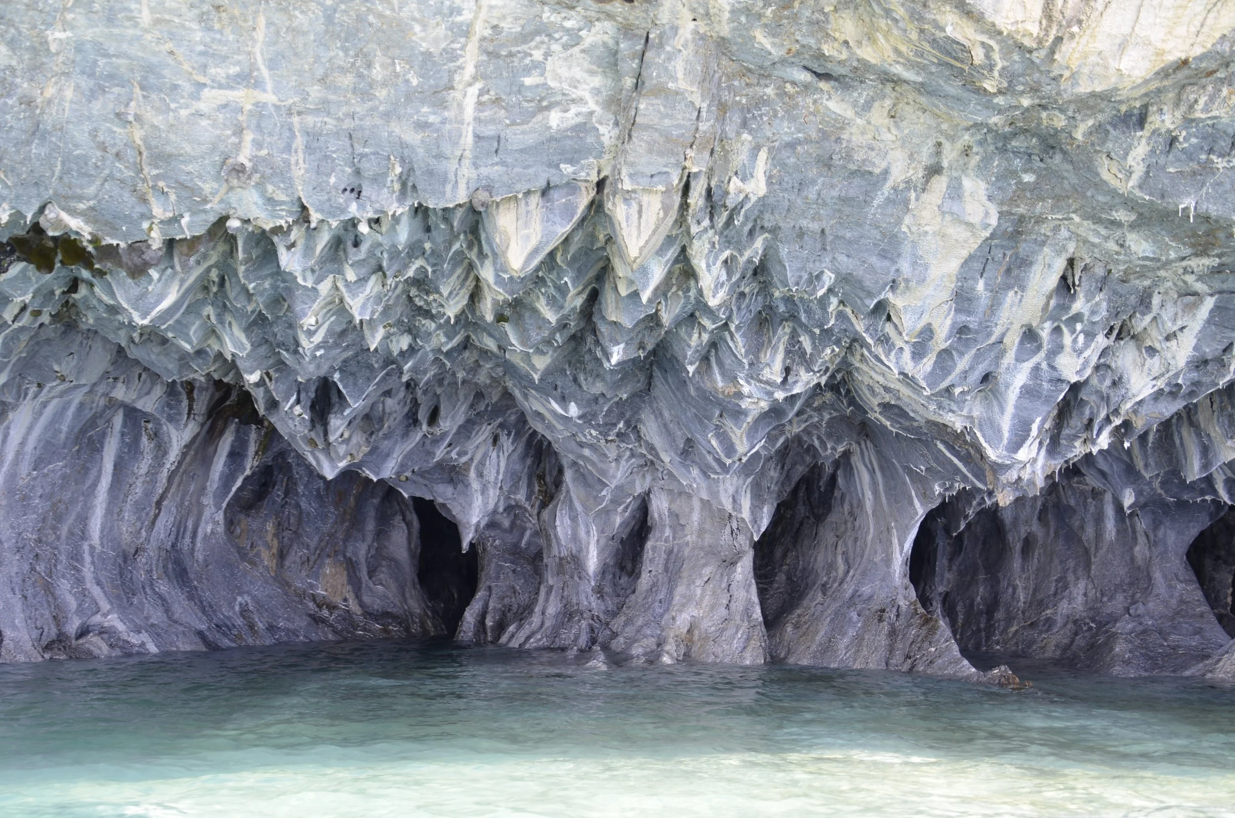
Our next destination was to visit Marble Caves (the title of this post).  As Steve was paying for our boat ride, I noticed the goats were very interested in the truck.  The young lady said it was the salt from the road –

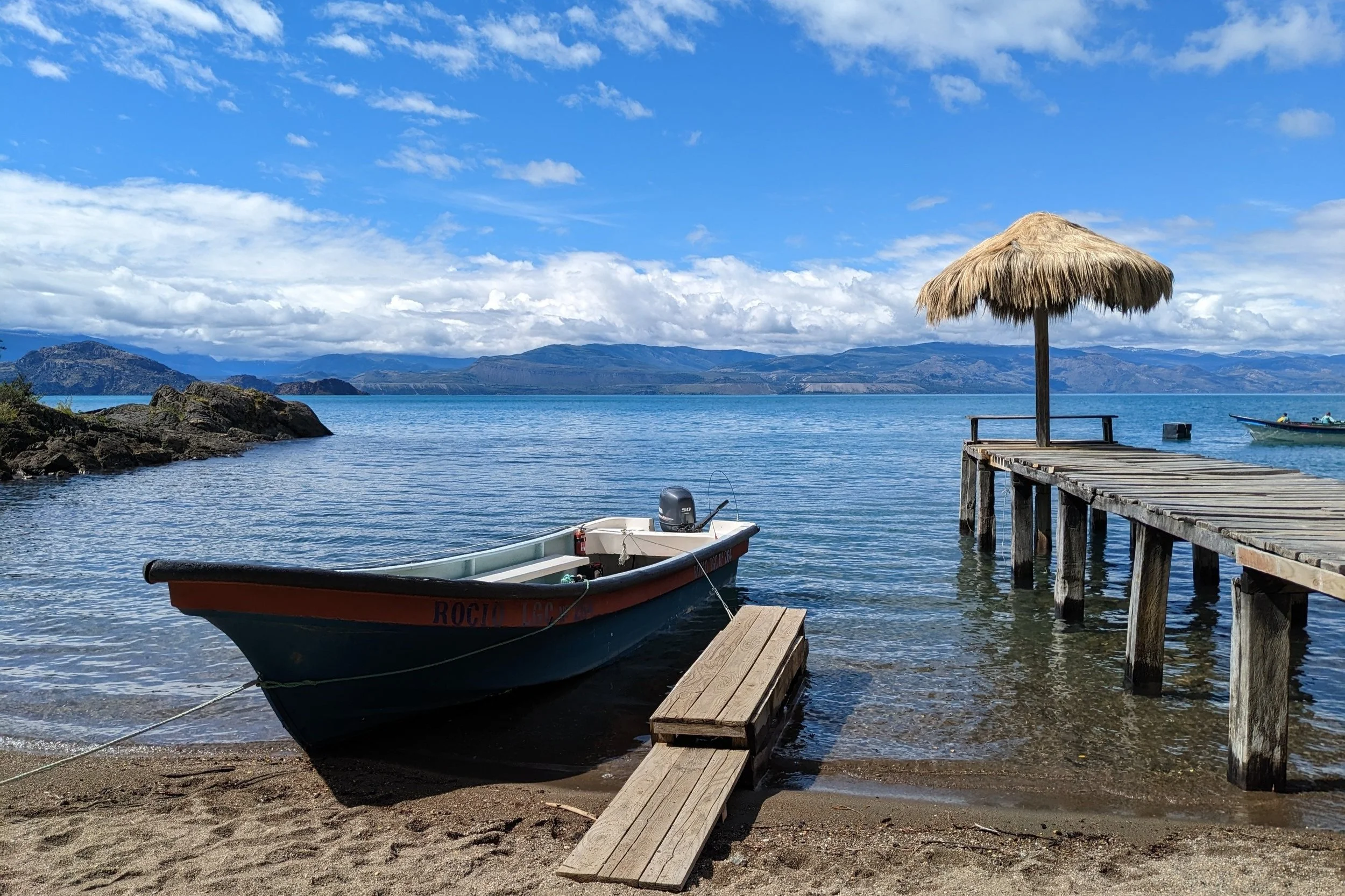
The ambiance was quaint –

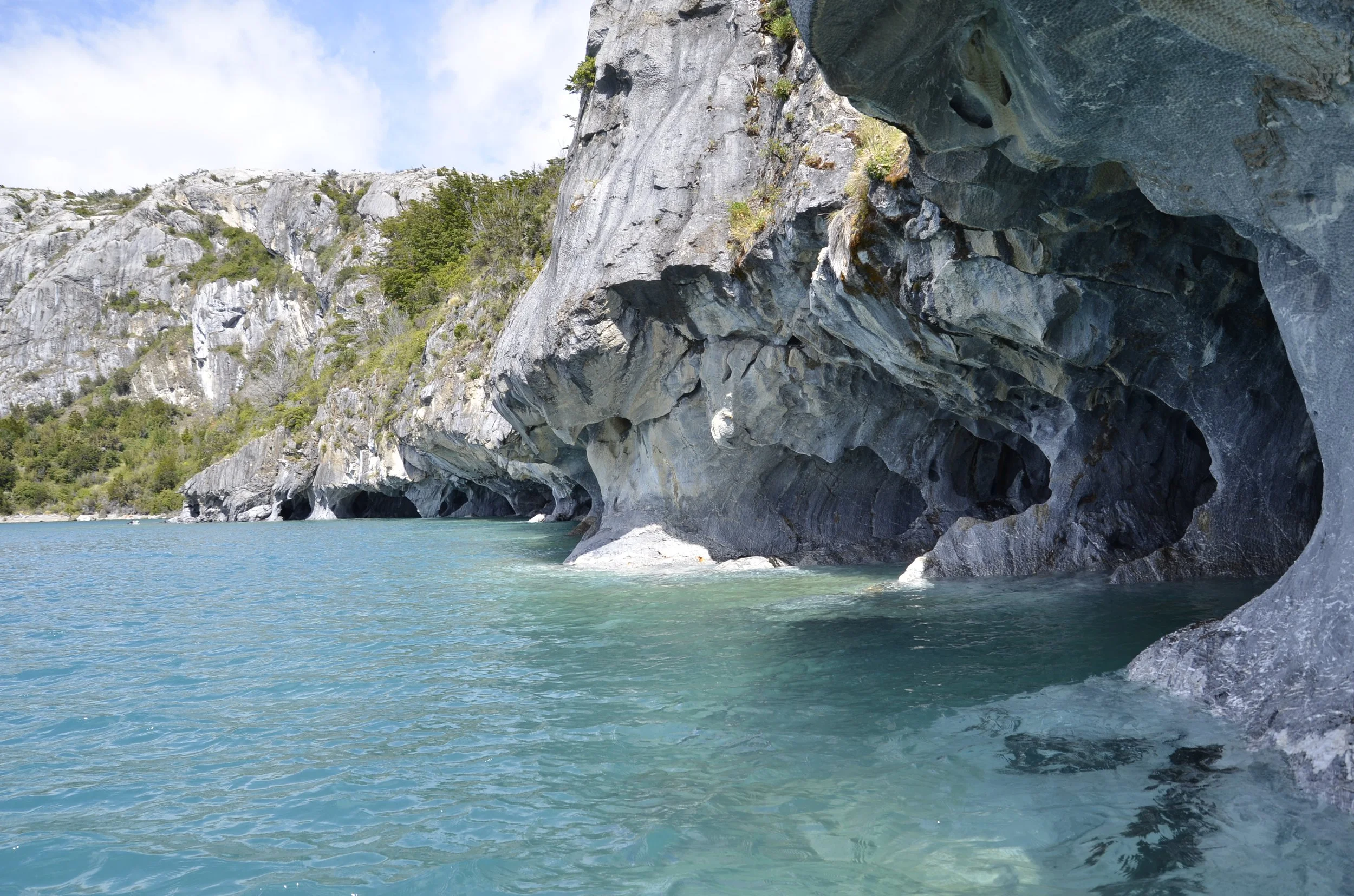
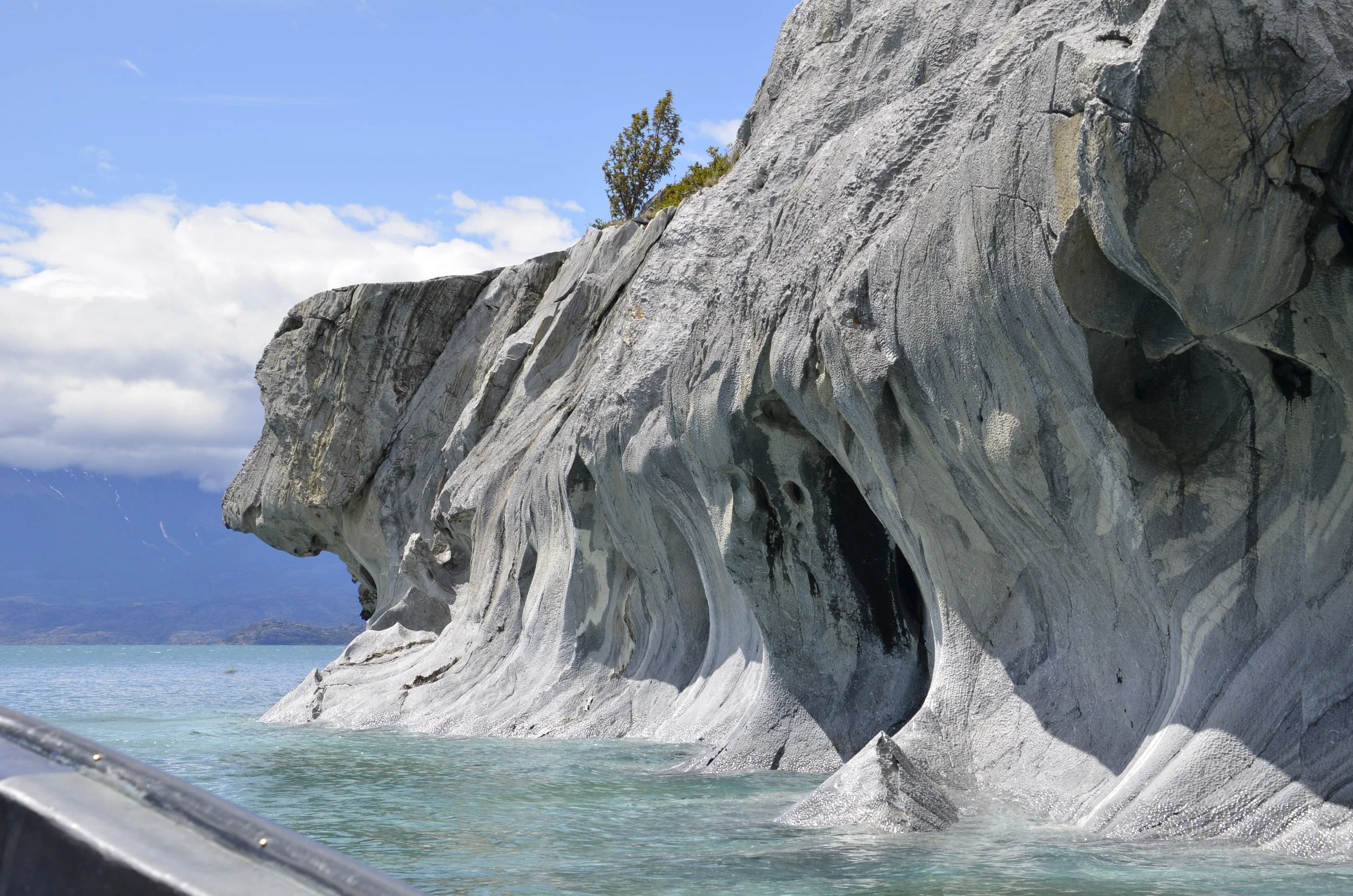
The caves were amazing -

That was the view after we backed out of the cave that the boat captain carefully maneuvered us into.  This is along the row of caves –

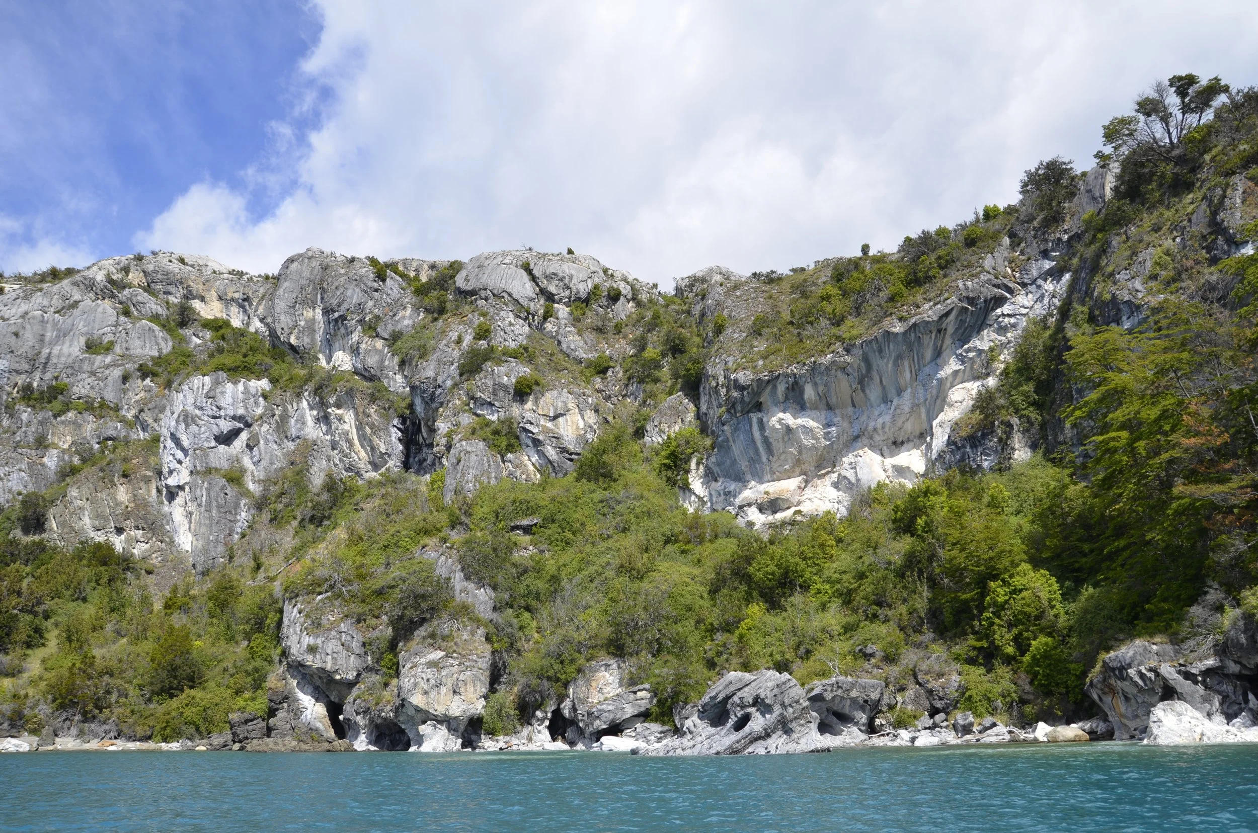
There are 30 KILOMETERS of marble bluffs here!

The “stone” is not really marble - it’s actually calcium carbonate, and it’s been eroded over the last 6,000 years by the waves on the lake.

Our guide pointed out several fanciful formations, and this “dog” was my favorite -

I just read that the best time to visit these is between Oct. and Feb., when ice melt feeds the lake and gives the water the gorgeous turquoise hue.

Take a ride with us, as we glide through the “Tunnel” - (for the video, open the post in a browser, and if you have your sound on, you can hear our guide)

As we toured into various tight spots, the guide took my phone…

… and made some awesome keyhole shots (I think he’s done this before) ;)

I just loved the color variations in the walls -

Enjoy another video as we slowly slid by a beautiful area -

We then headed back up the lake, to continue our journey for the day.

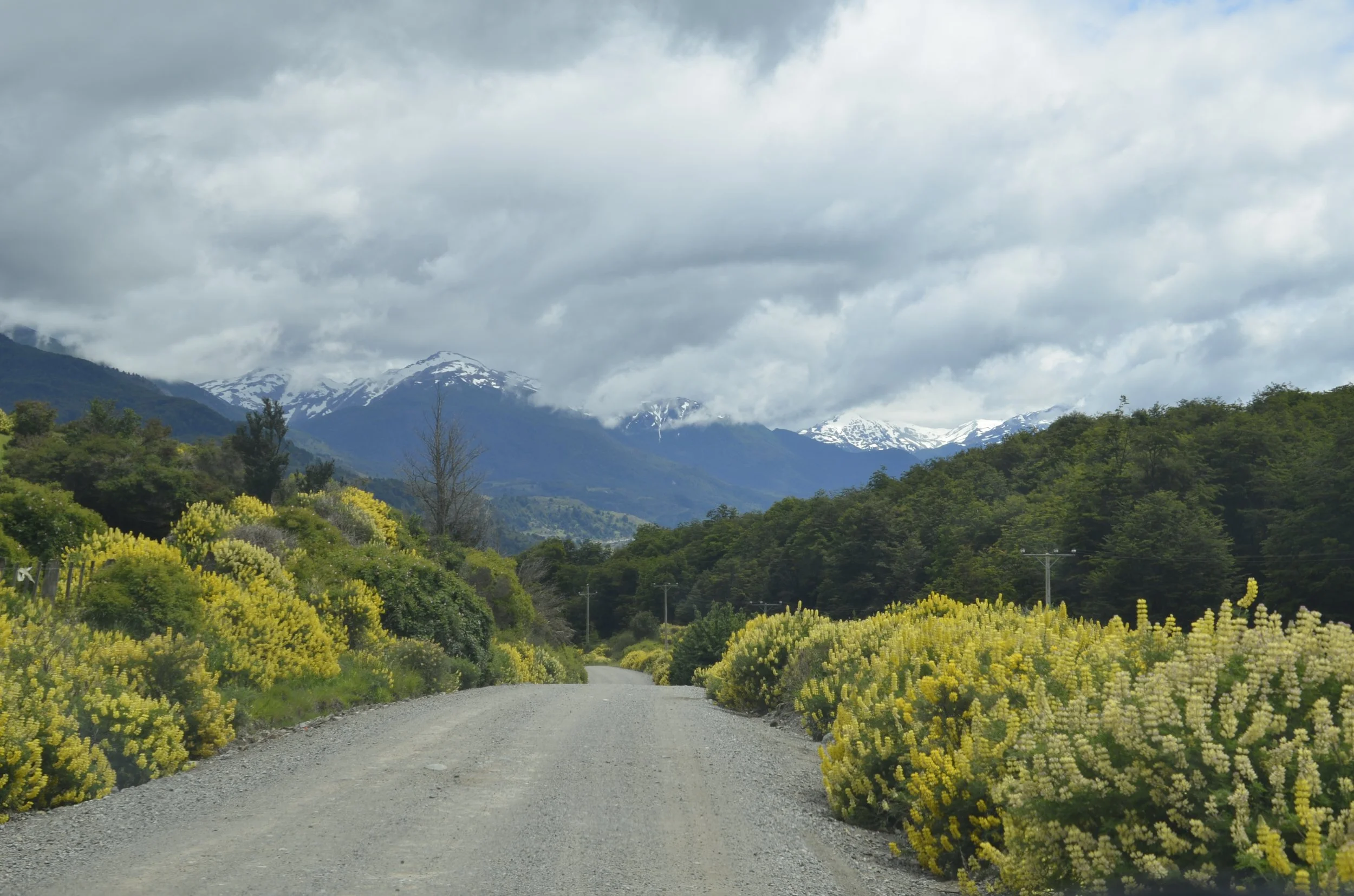
Yep…lupines -

After we finally left the lake (after another hour of driving), we were passing through a wide valley…

… of course, complete with ringing mountains -

We rounded a corner, and our jaws dropped -

We were headed for Villa Cerro Castillo, which will be a story for another day…

Tortel to Puerto Guadal

 It rained nearly the entire 18 hrs that we spent in Tortel, so I wasn’t too sorry to say goodbye.  As we drove back north, the skies were clearing and we started seeing more mountains…

… rivers…

… and more mountains –

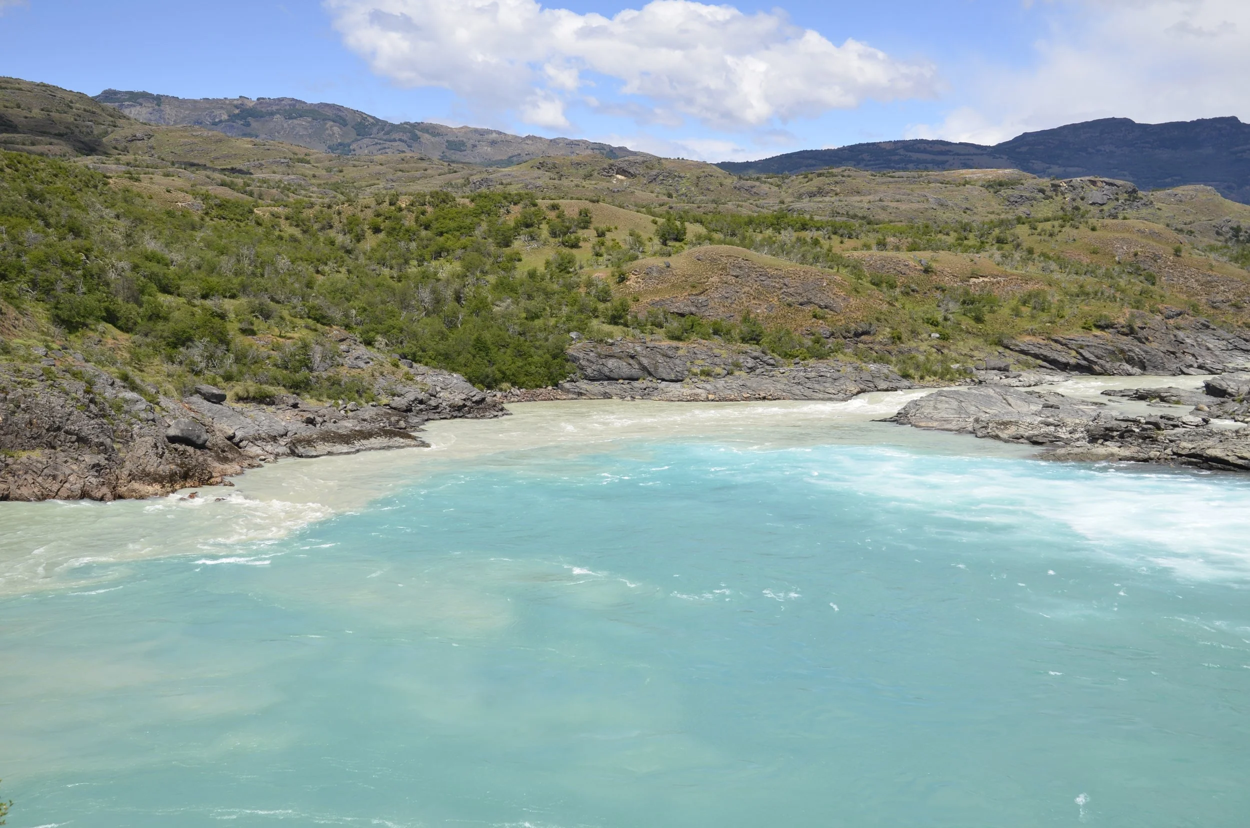
We were specifically headed to the confluence of the Baker and Neff Rivers –

But first, I couldn’t resist more snow-capped mountains, just before we walked down to the river –

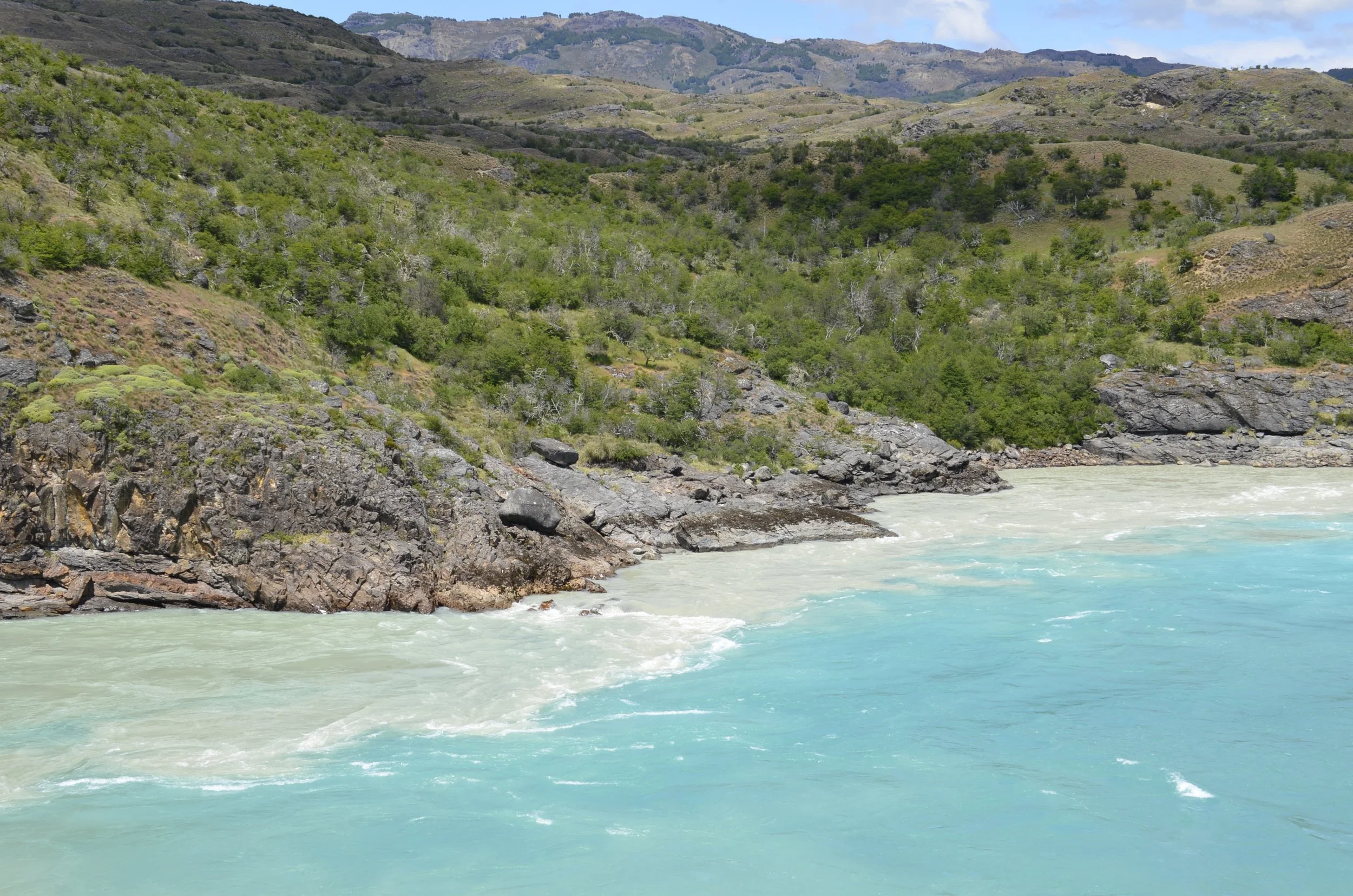
It was really interesting to see where the rivers joined…

… but the waters didn’t mix for awhile –

The gorgeous blue!
We were about to start down the road again, but needed to pause for a few minutes –

All of the gauchhos we passed on the roads wear the same type of clothing – wool beret, poncho, and sheepskin chaps – and are accompanied by several dogs keeping the cattle in line.

Earlier in the day, we had had another roadblock –

I think I mentioned before that lupines are everywhere now –

We were heading to Lago General Carrera…

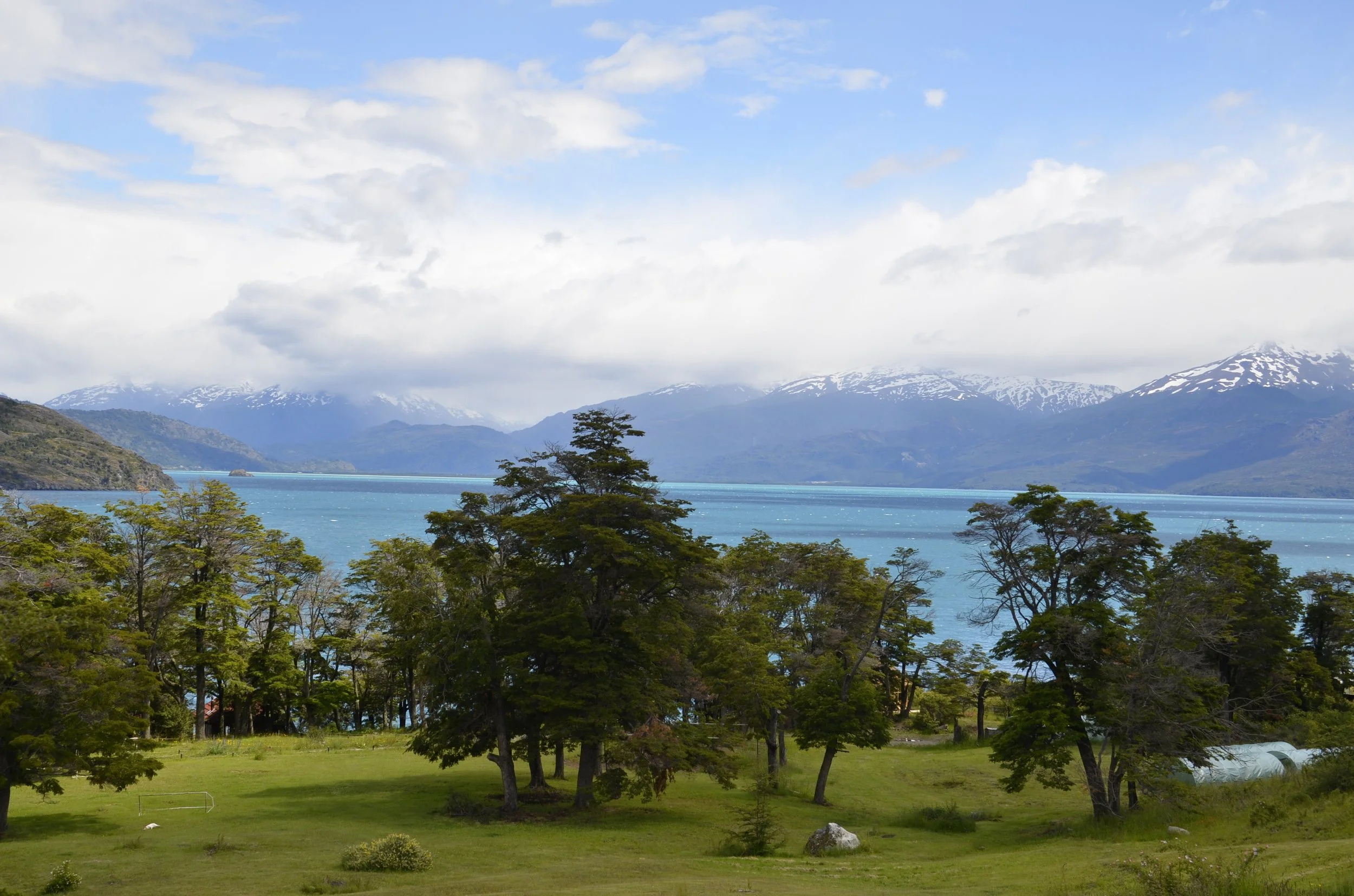
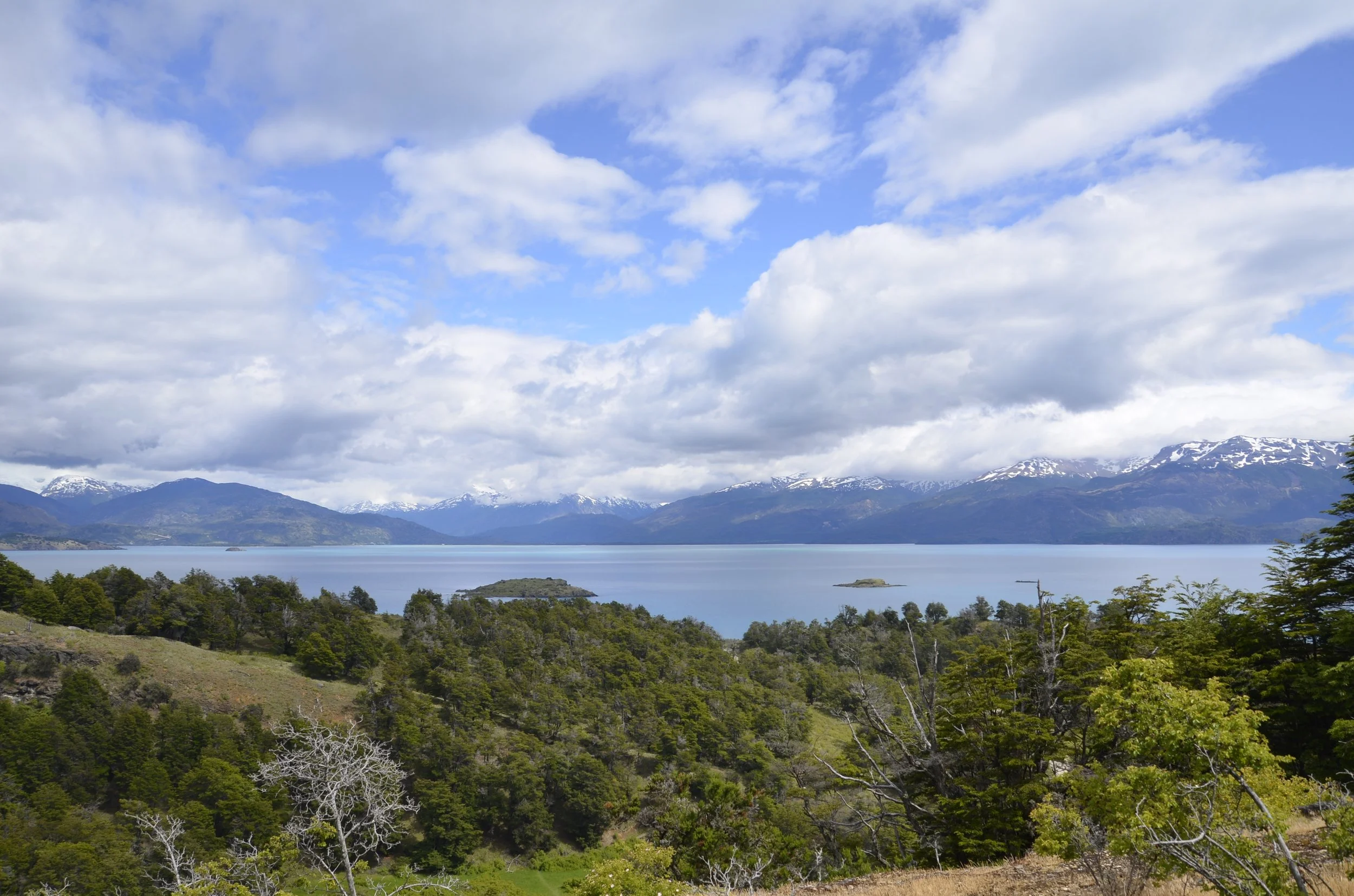
The picture above was just a neat shot of a road around a nameless lake.  Lago General Carrera is the largest lake in Chile, and the second largest in South America.  We were staying at a place on the lake, and this was the view from our cabin balcony on our first evening…

… and this was the next morning –

We went for a stroll along the lakefront after breakfast…

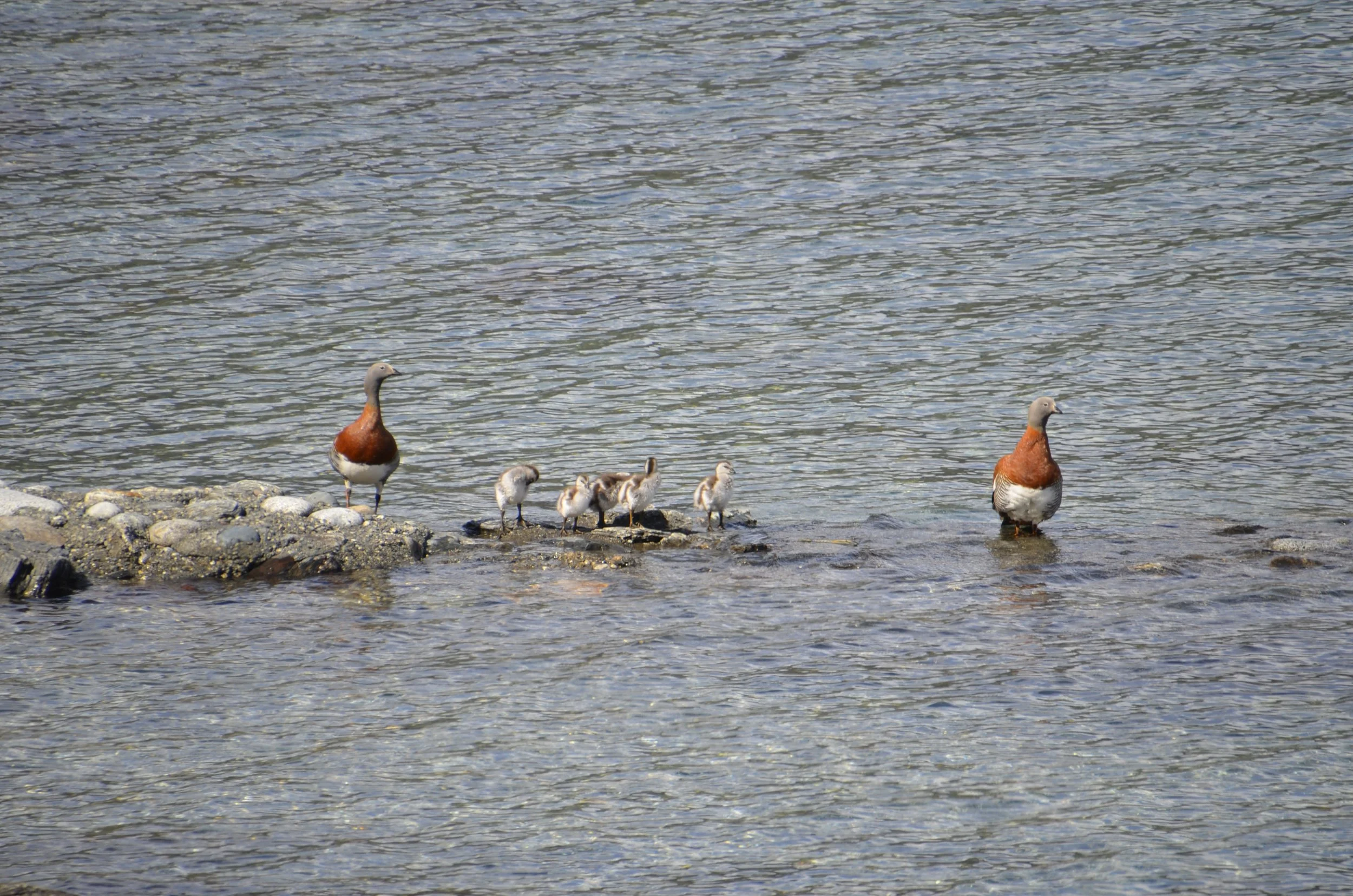
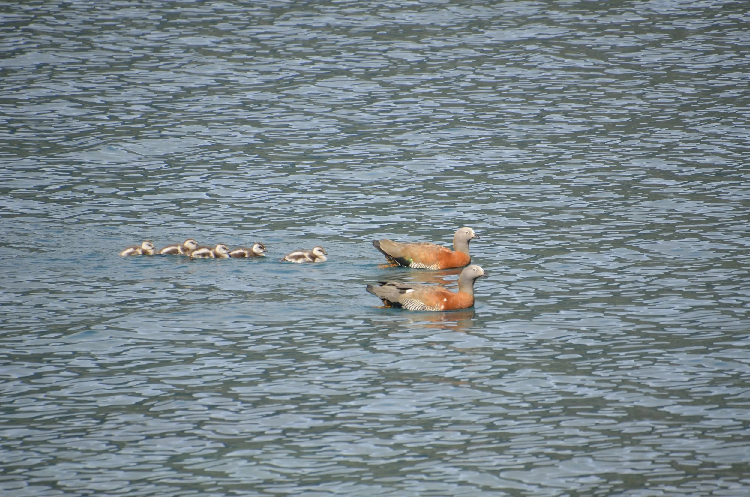
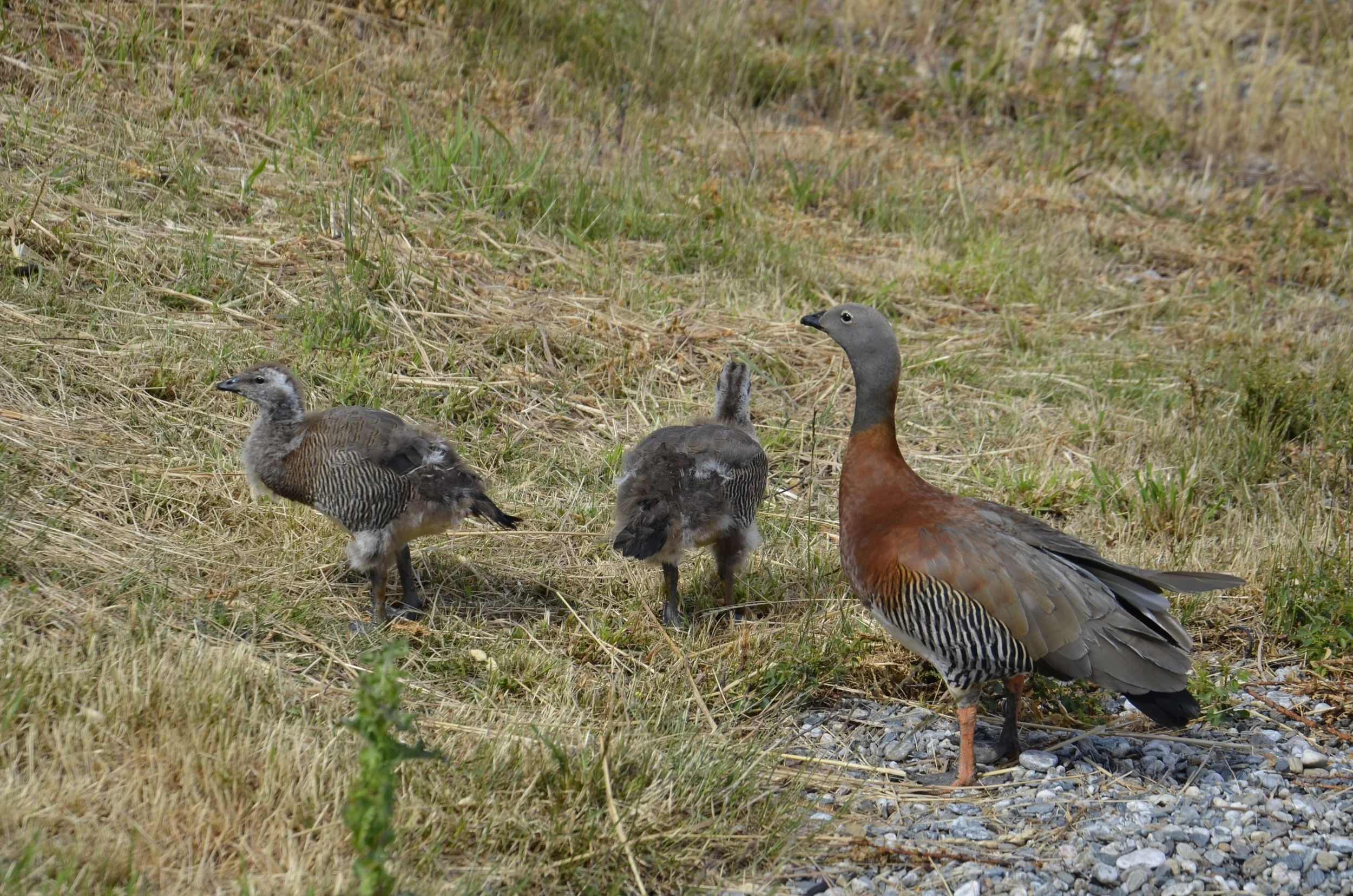
… sharing it with a family of Ashy-headed Geese –

Another family had a  pair that were nearly fledged –

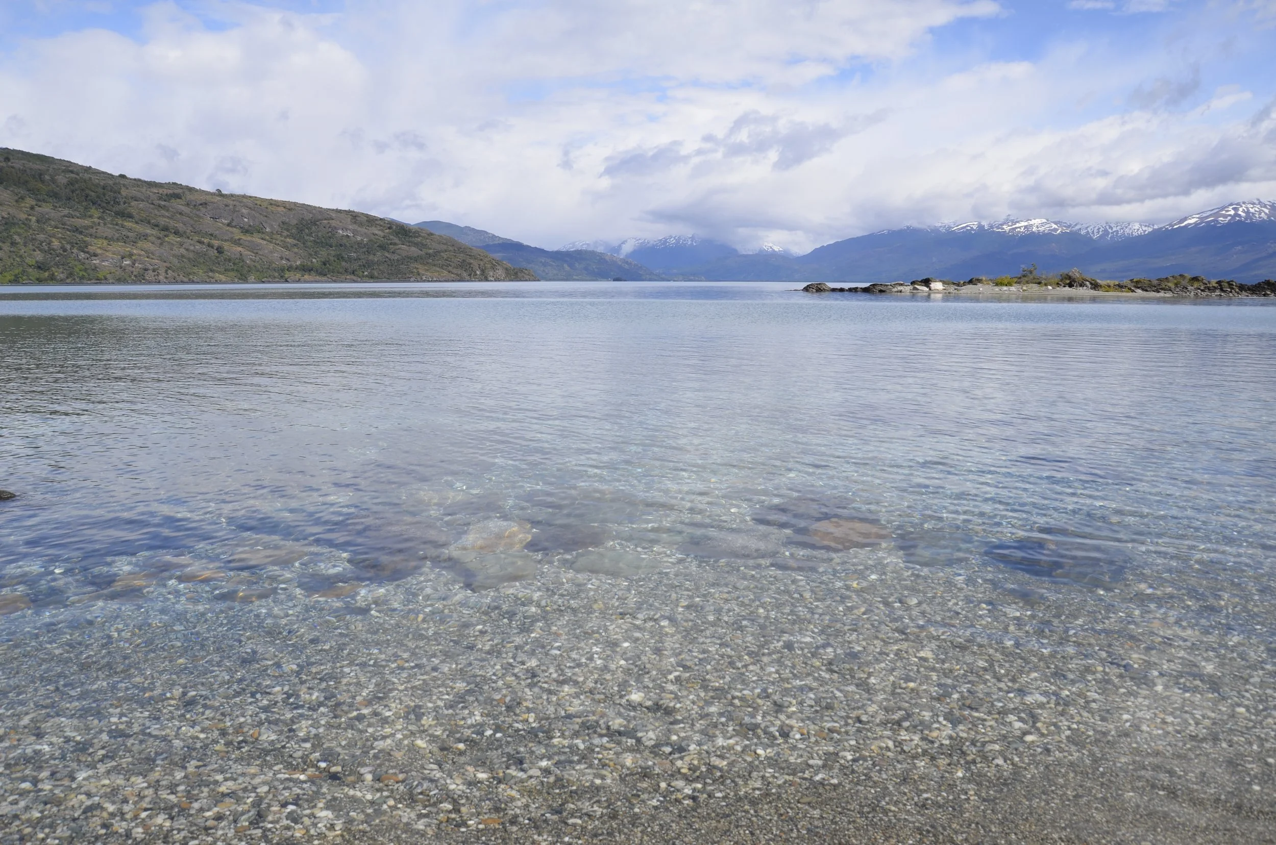
The water was extremely clear..

… and blue.

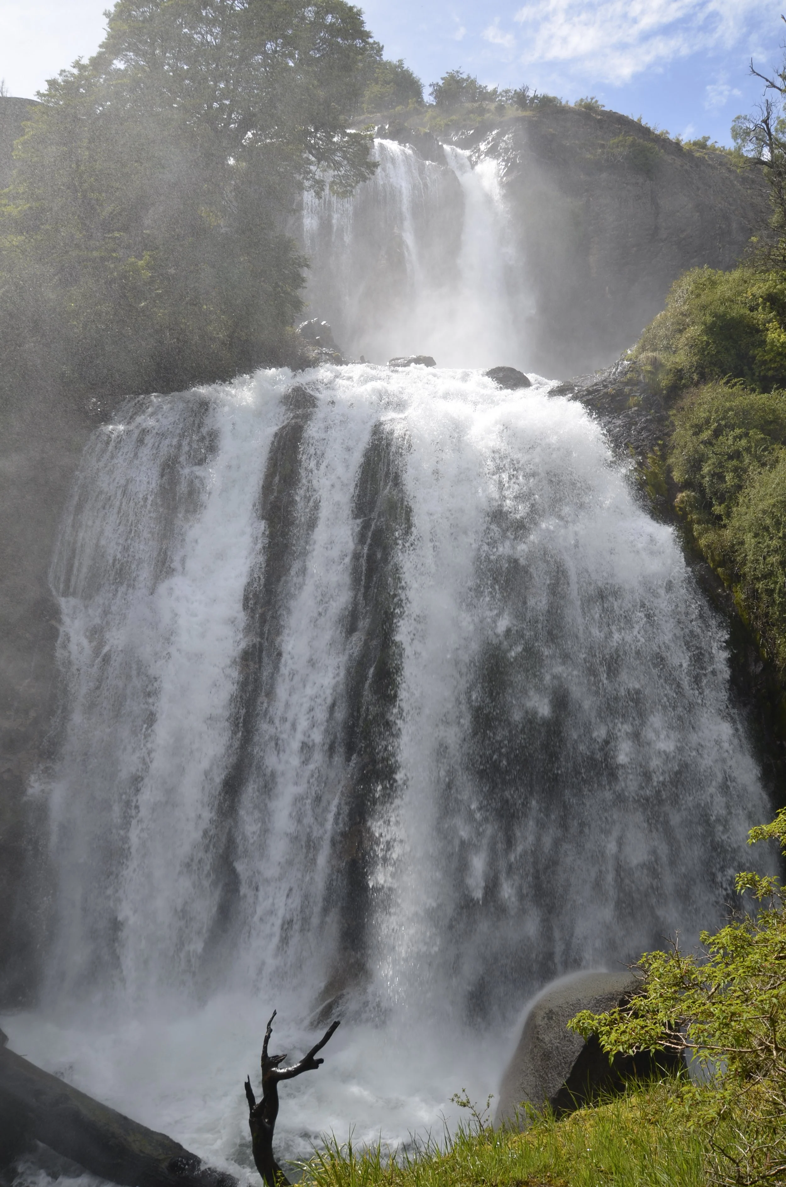
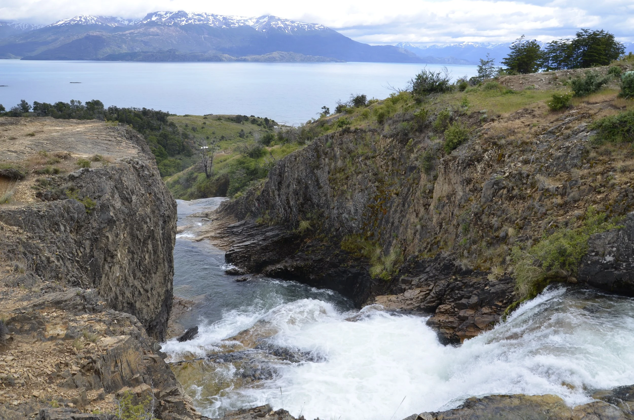
We also went for a short hike to a nearby waterfall, Los Maquis, and wandered around a little bit, before finding the real trail. We’re intrepid explorers, remember?  This one was just thundering!
We had seen pictures that people had taken when it had little flow, and the difference was amazing. 

On the way to the top, we had this view…

… and at the top –

This video shows it from the top (remember to open the email in a browser, and have your sound on) –

Back at the lakeshore…

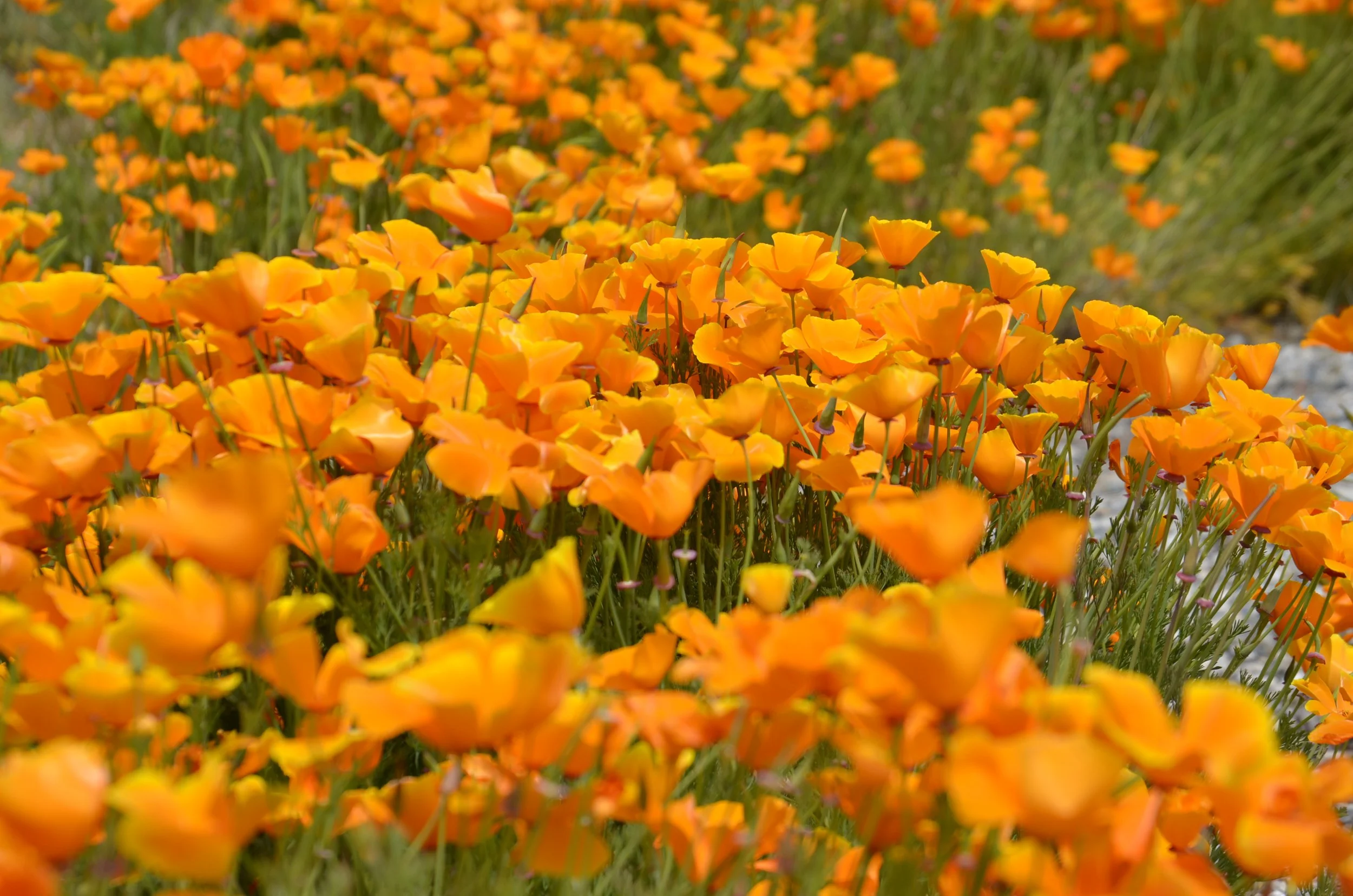
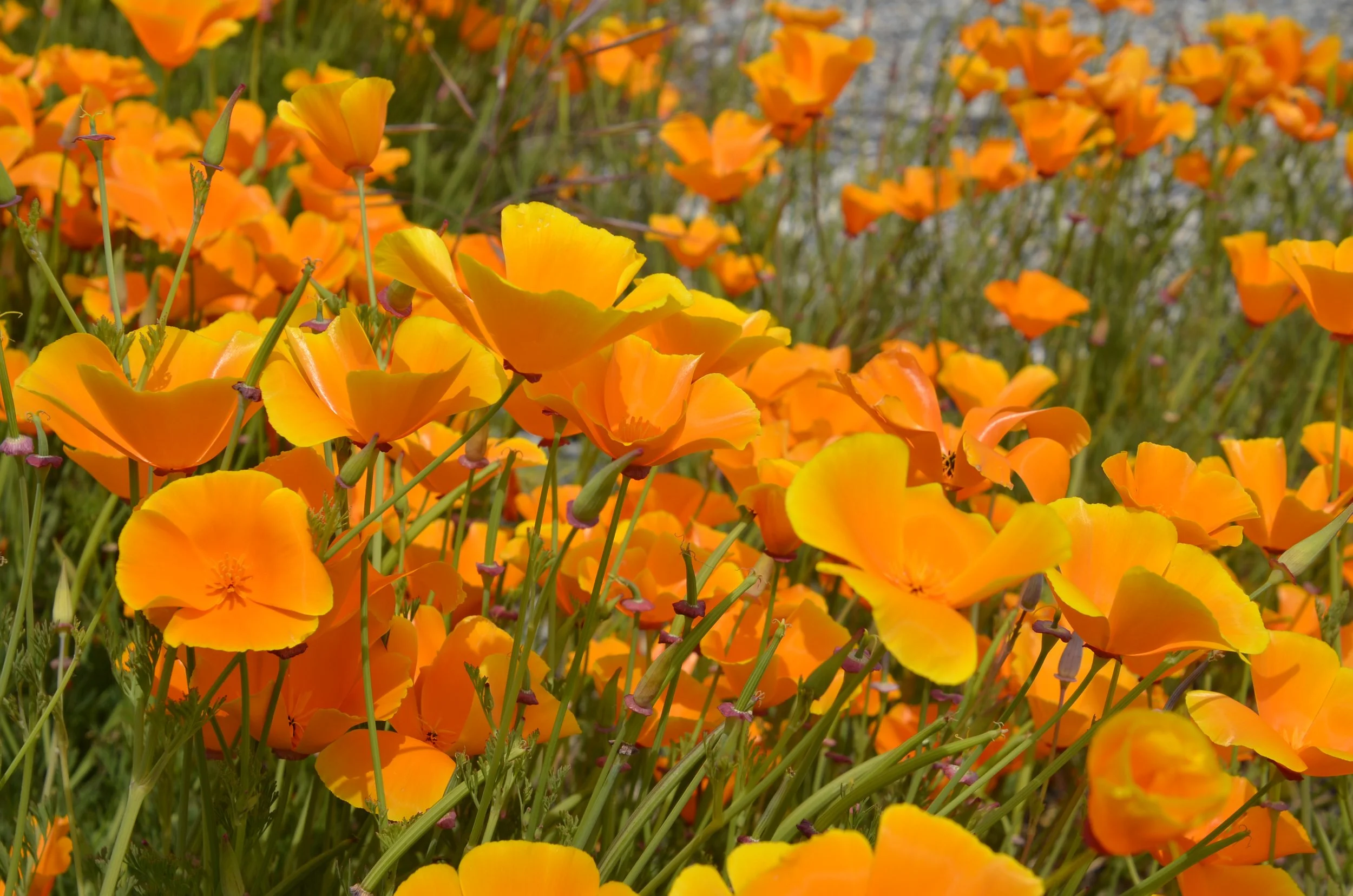
… these beauties (California Poppies?!) were blooming -

I’m ending with one of the neatest reflection shots I think I’ve ever taken.  I don’t think I’ve ever seen this before.

Cochrane & Caleta Tortel, Chile

We stayed in a riverside cabana in Cochrane, with this view –

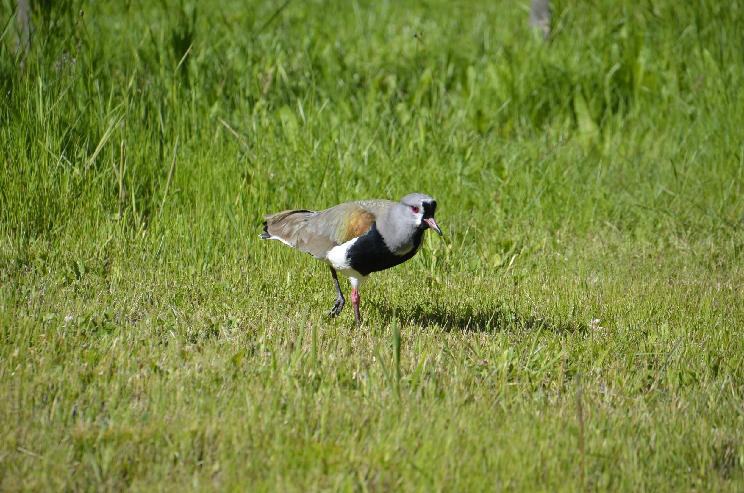
I think the Southern Lapwings are beautiful birds, but they have a loud raucous call that served as our wake-up call each morning (and they even sounded off at night sometimes too) –

We went hiking (no…really?!) just outside of town in Tamango National Reserve, hoping to see the elusive Huemul deer. These are an endangered species that live in the southern Andes.  We never did see any, but the hike started beautifully along the Cochrane River…

… and alternated between rocky outcroppings…

… and lush forest…

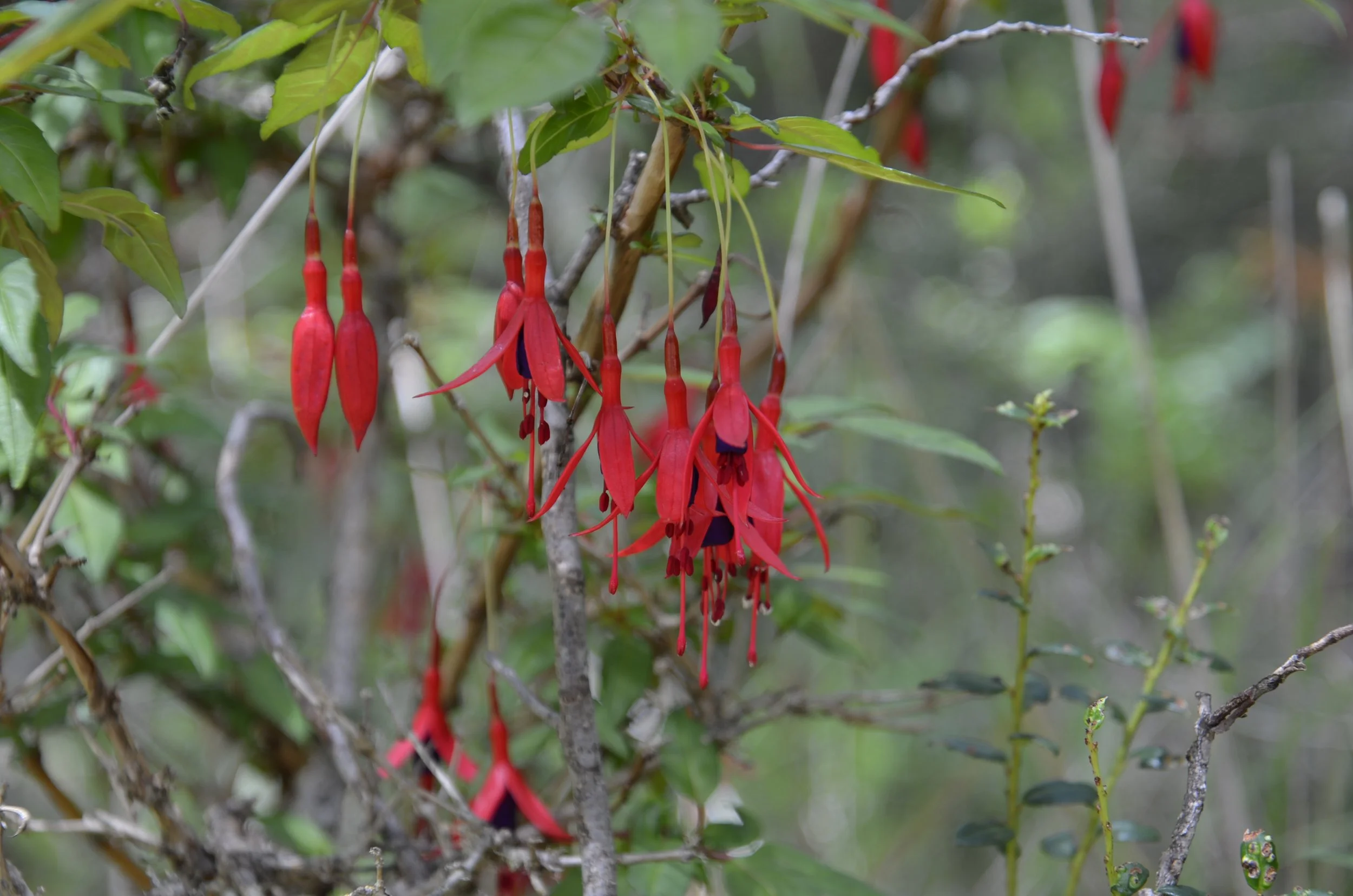
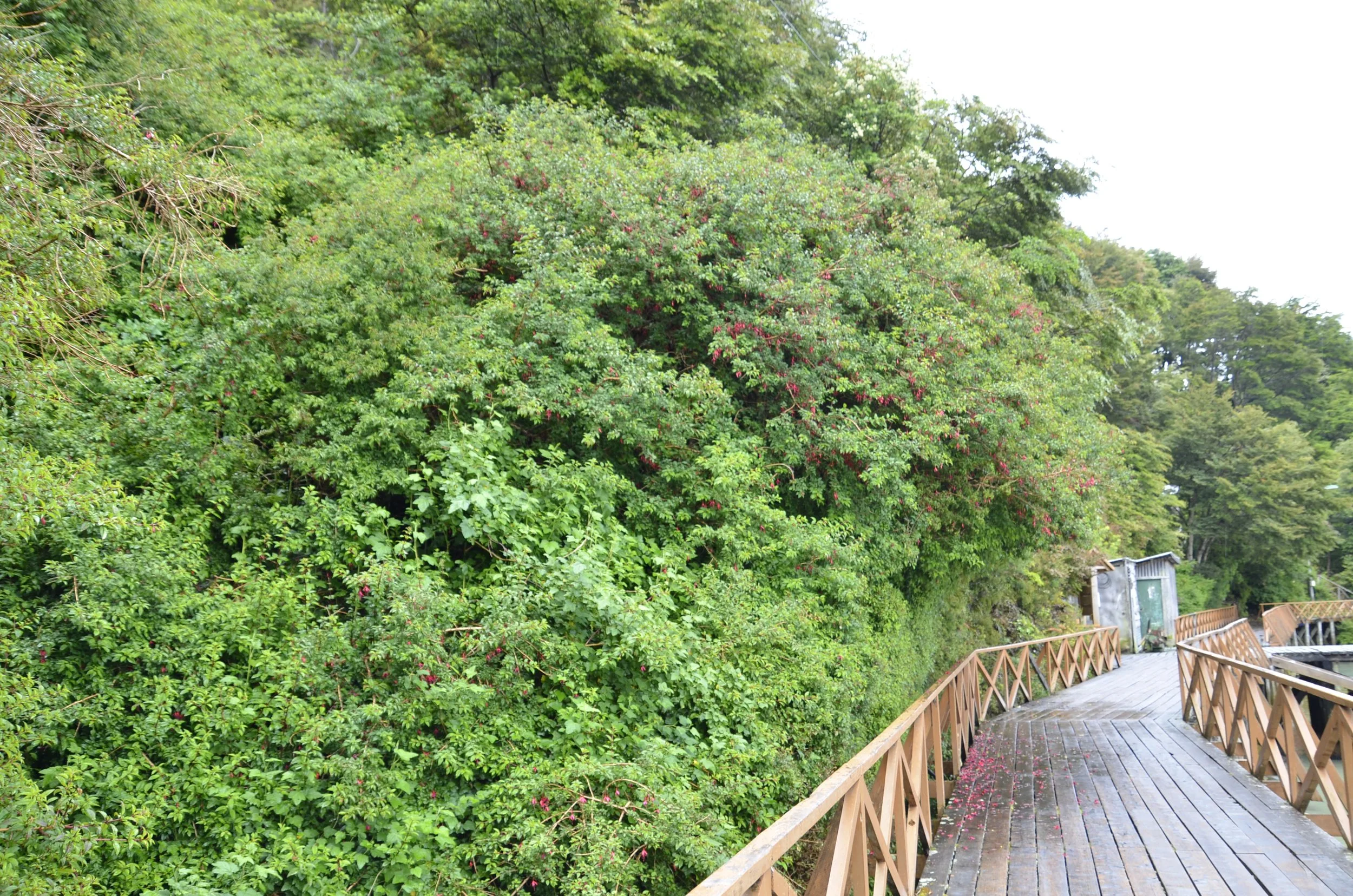
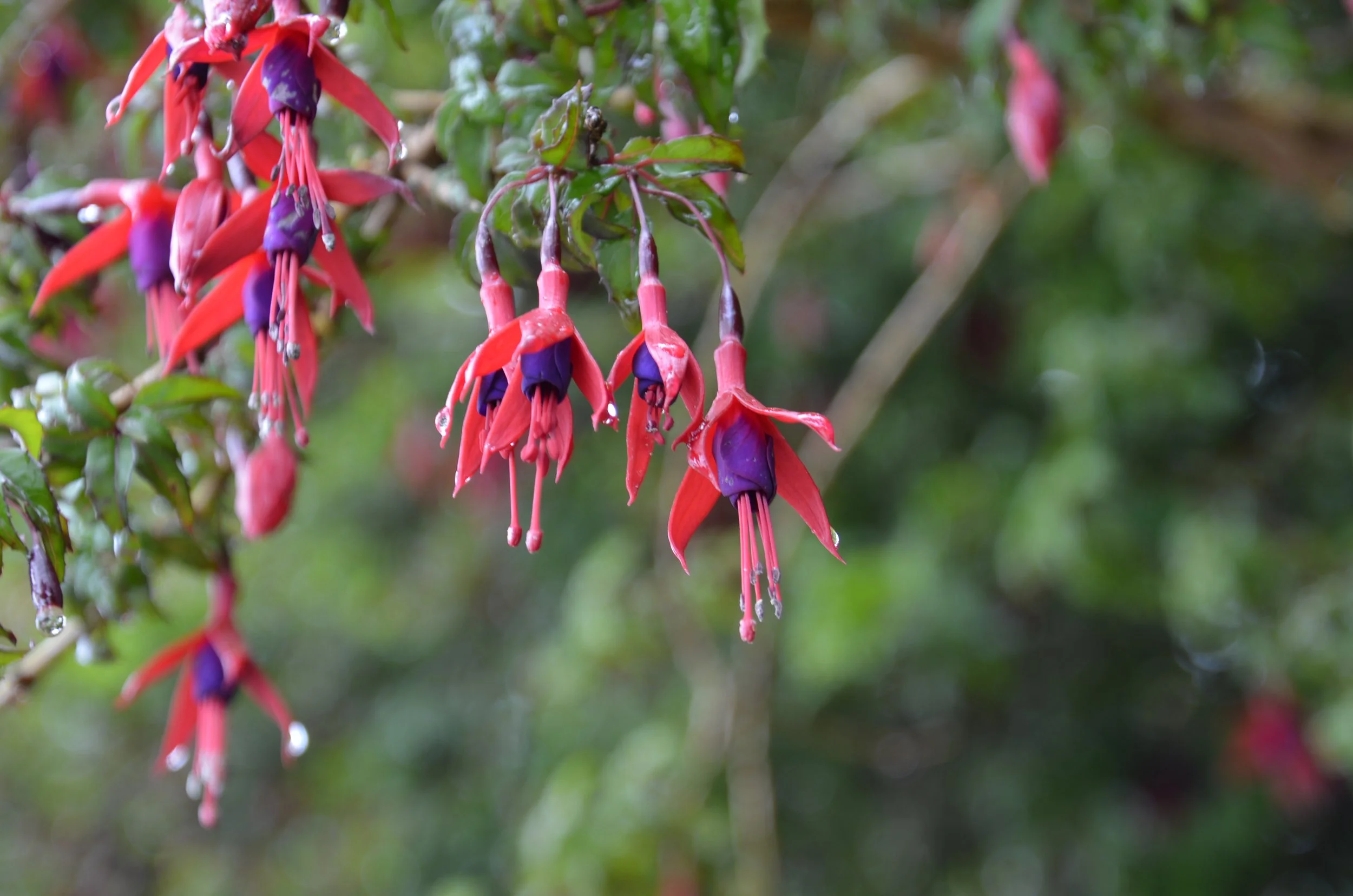
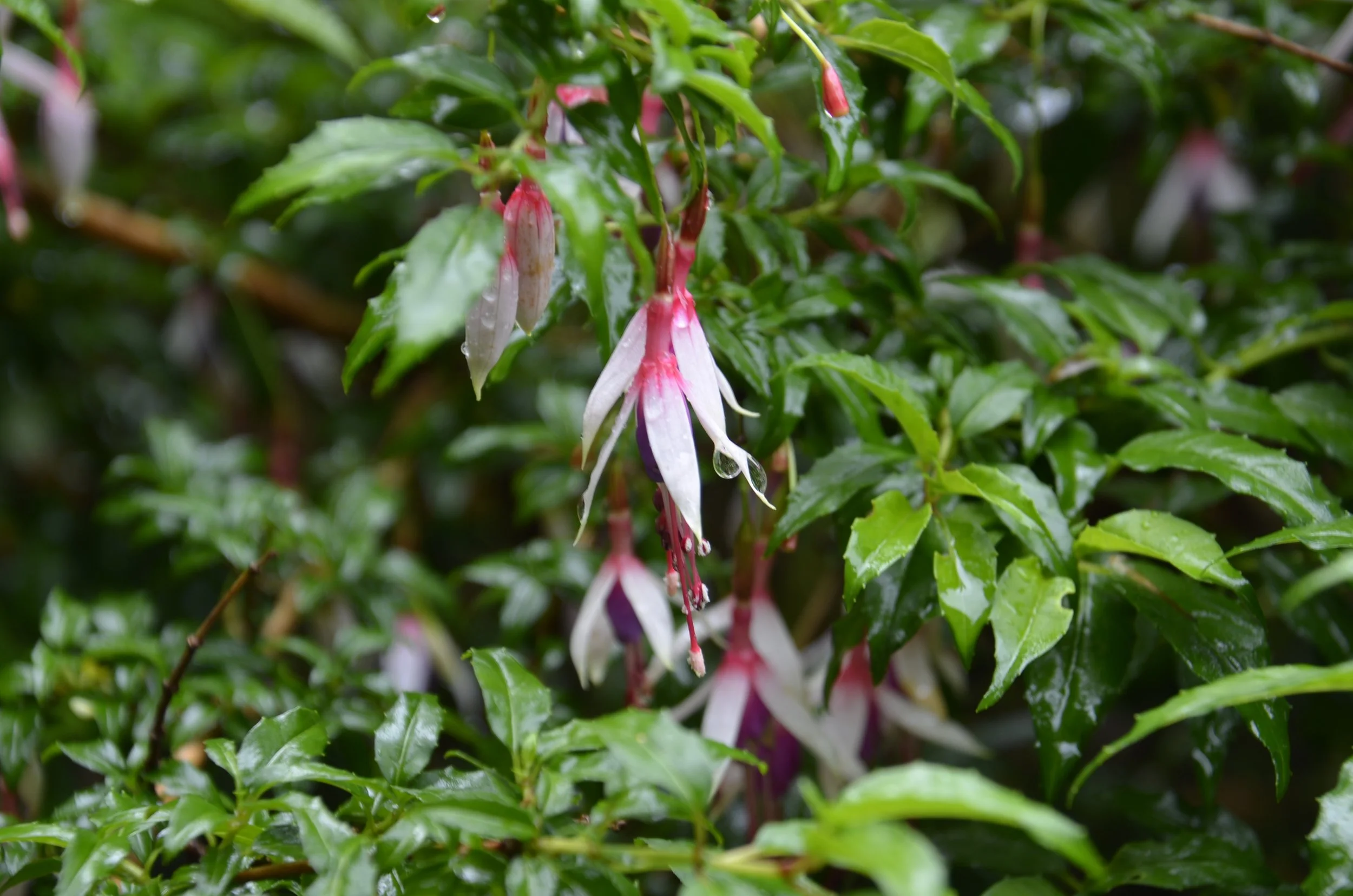
 … where we found Fuschia.  This was a plant I grew in hanging pots on front porches in the Midwest, but that we found growing wild in Chilean Patagonia in moist climates.

As we climbed higher, we were treated to far off mountains -

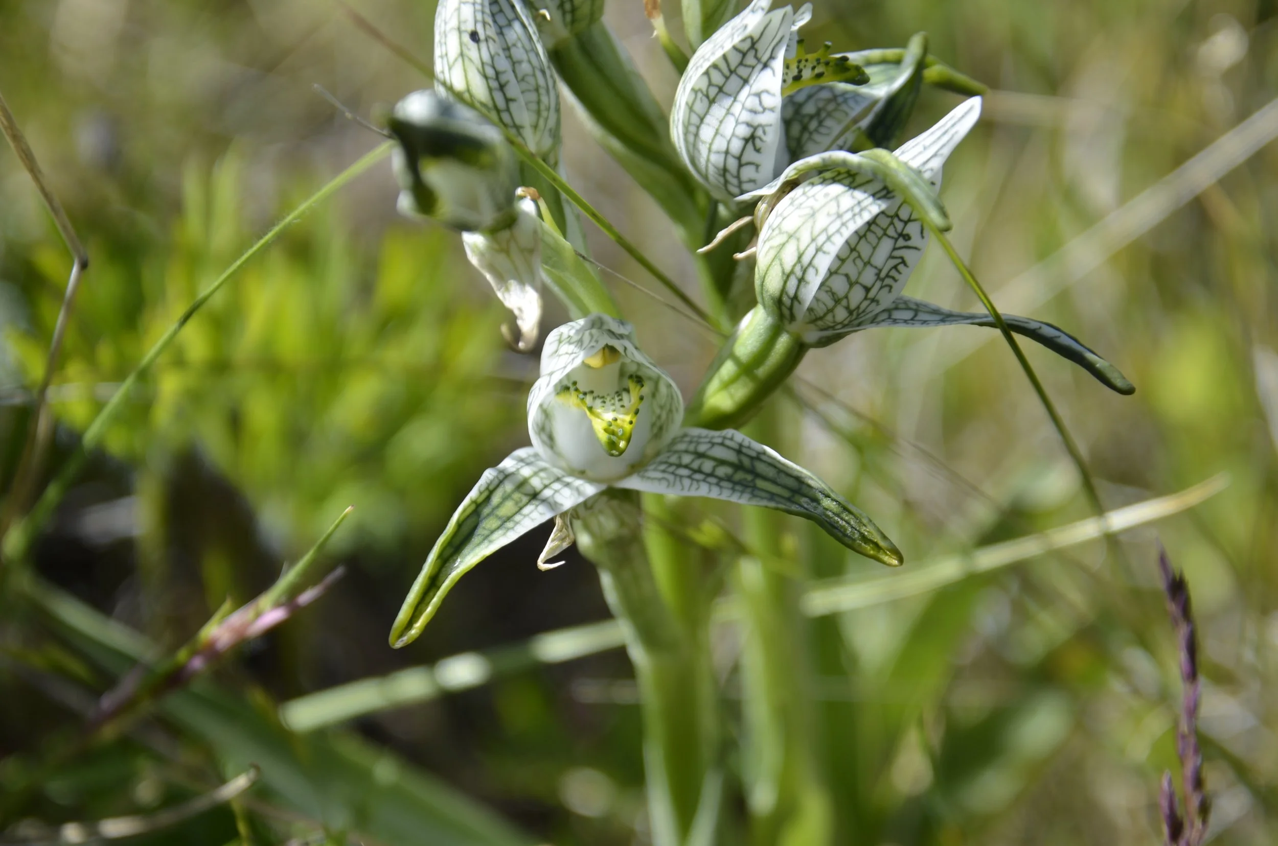
I found another orchid!  The Porcelain Orchid -

The combo of the snow-capped mountains and the deep blue of the river was just magnificent –

This river was just amazingly clear and so blue -

We looked down at the end of the hike and were gob-smacked:

Just before the river emptied into the lake, it formed this blue pool –

I loved the look of this plant.  It looks like a fern, but the stalks are firm and fairly thick –

Doesn’t this look like petrified wood?  I sure thought it did, but Steve wasn’t so sure.  It was underfoot on a lot of the trail.

OK.. so now we head a little SW to visit a unique town, Caleta Tortel. It was a rainy day, and there were swollen rivers along the way –

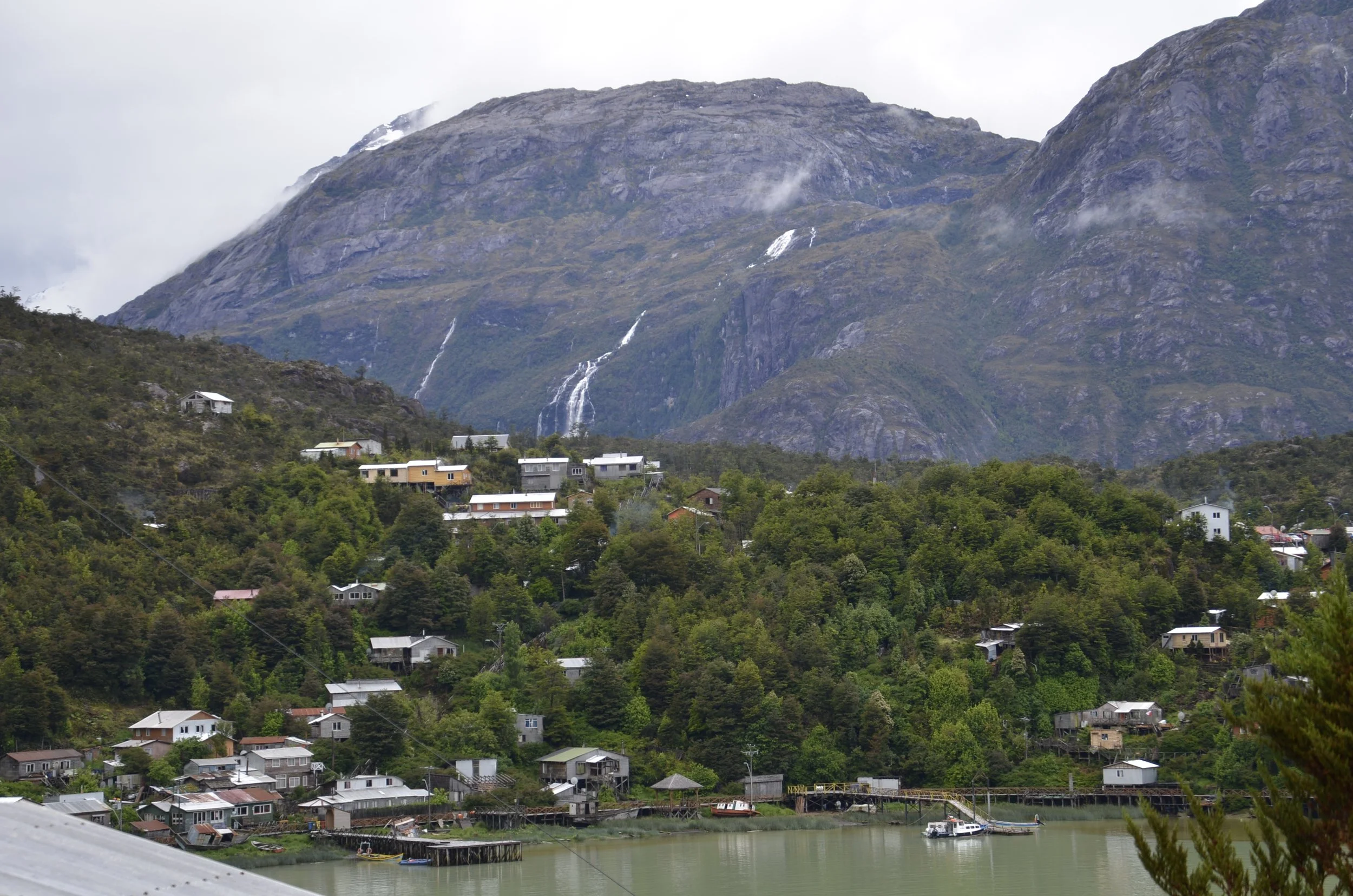
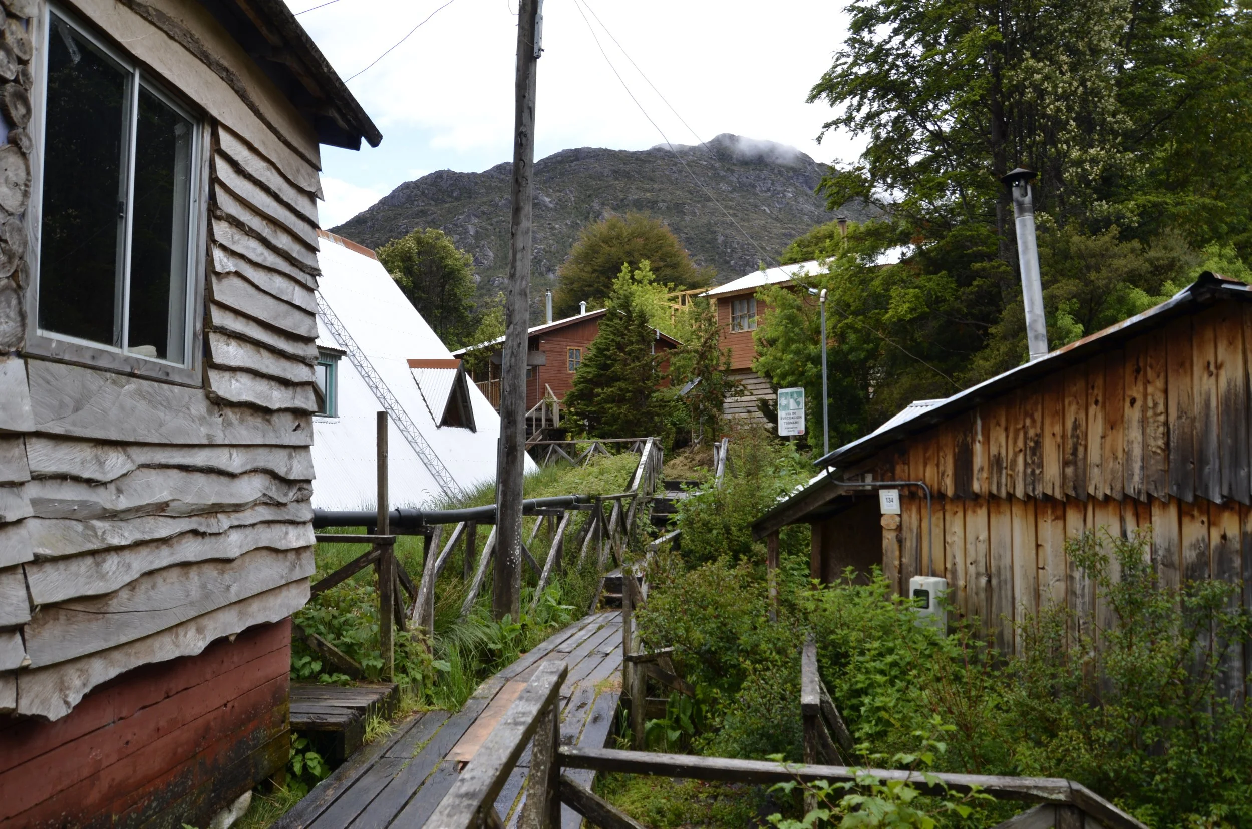
There are no roads in town, just boardwalks (of cypress – it doesn’t rot very easily).

You parked your car in a general parking area, and walked to your house or hotel.  In our case, we walked about ½ mile, in the rain (carrying only small backpacks for our 1 night stay)…

… and it rains a lot there.  There are lots of ferns…

… that are massive.

Remember what I said about Fuschia and moist climates?

They were everywhere….

… and in interesting color variations –

The sun broke free and the rain stopped for a short time in the afternoon…

… so we went out for a (short) walk before the rain started again.

This is what an area between houses looked like –

I thought this was a pretty flower, but I haven’t been able to find out what it is –

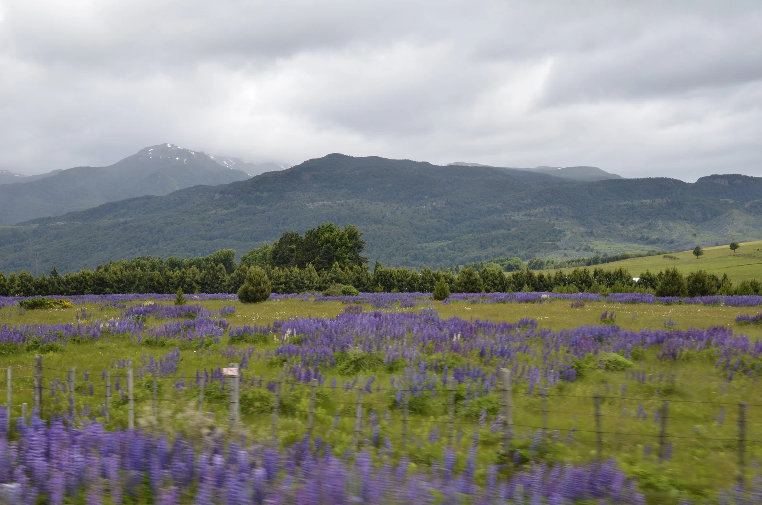
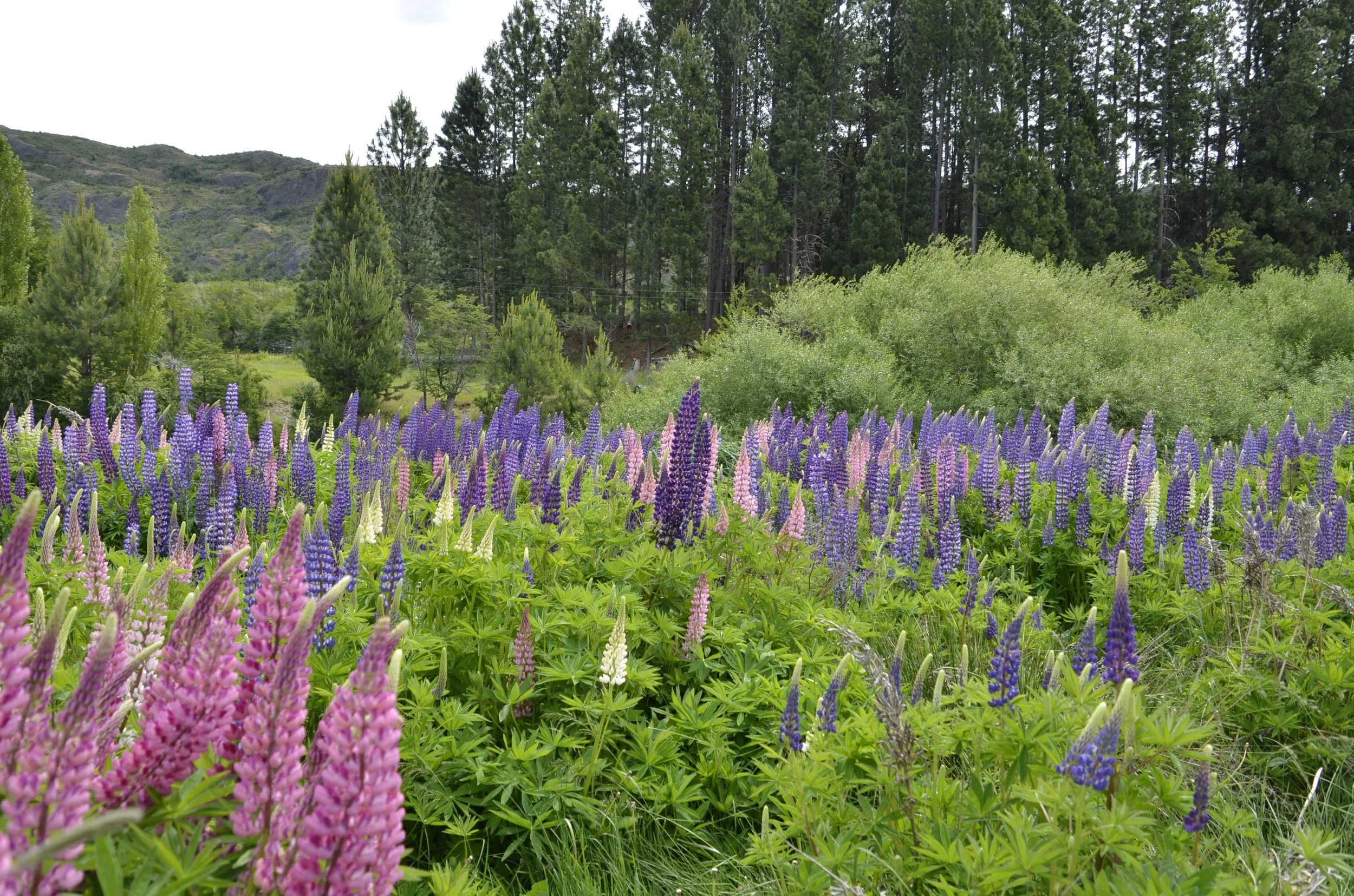
I’ll jump back to our river cabana in Cochrane to close.  Lupines are totally lining the roads now, and filling fields.  This small field, with all the colors represented, backed by stately pines says it all.

Crossing back into Chile

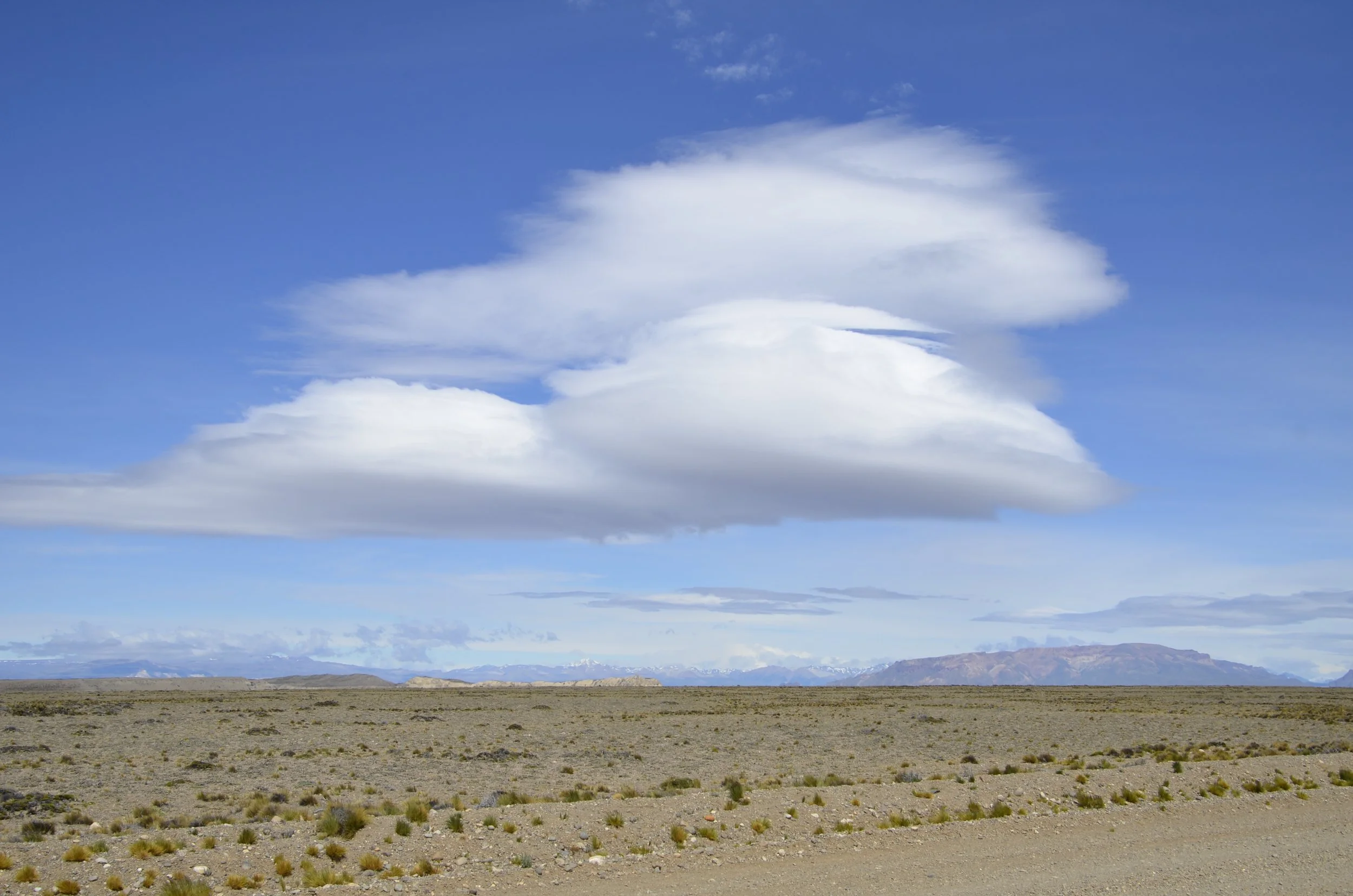
As we left Parque Patagonia and the colored hills, we were driving over the arid steppes again, and I was enjoying the neat cloud formations -

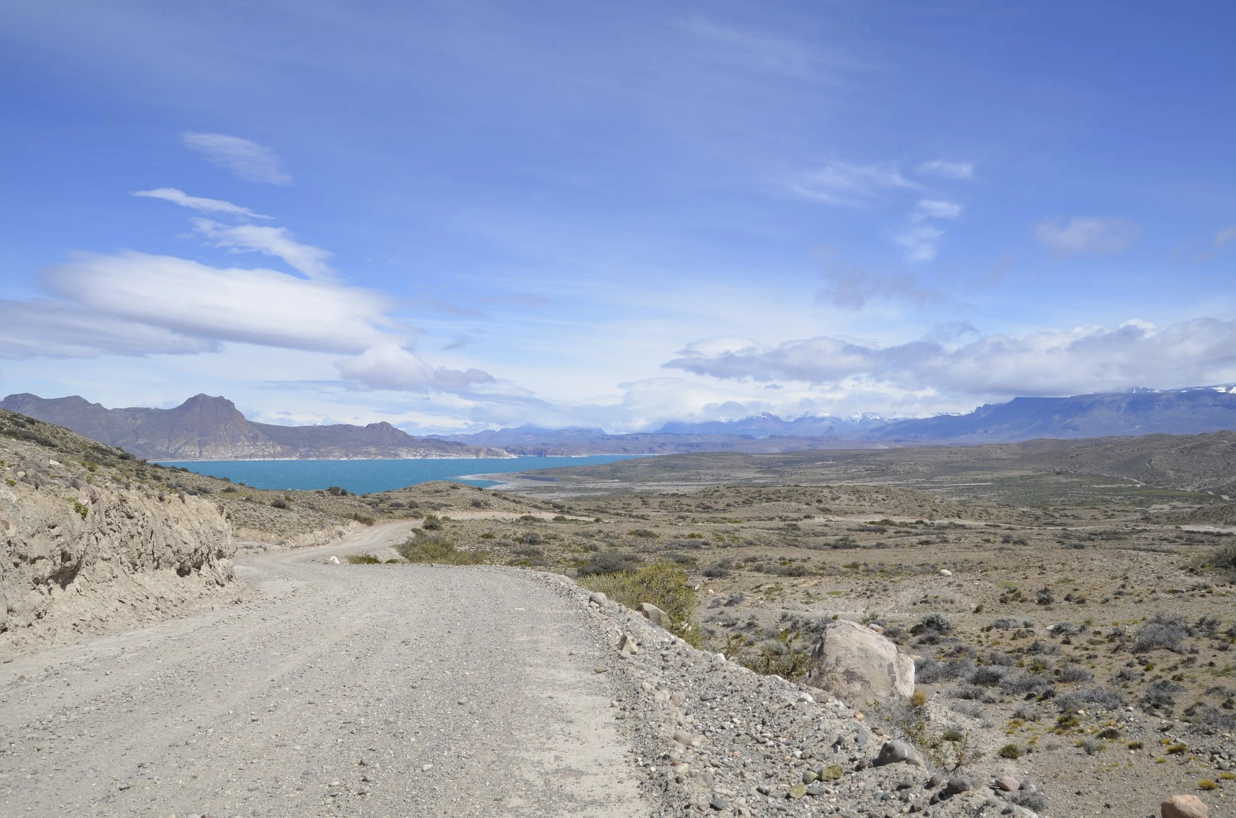
We rounded a bend and were blown away by the colors -

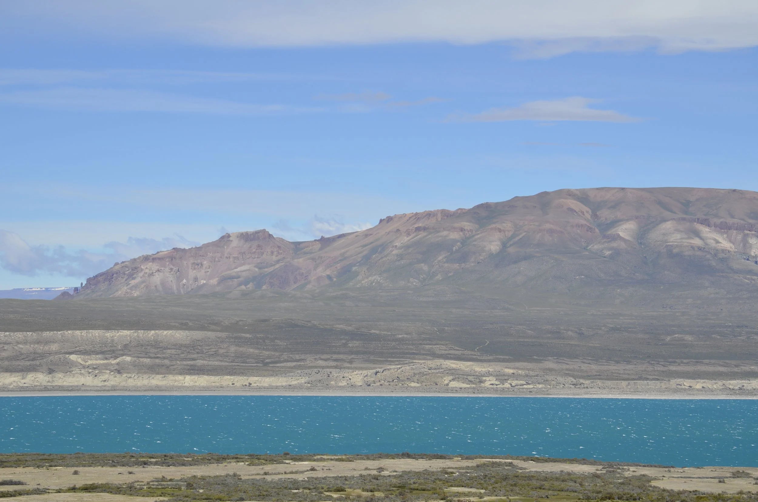
The lake really was that blue!

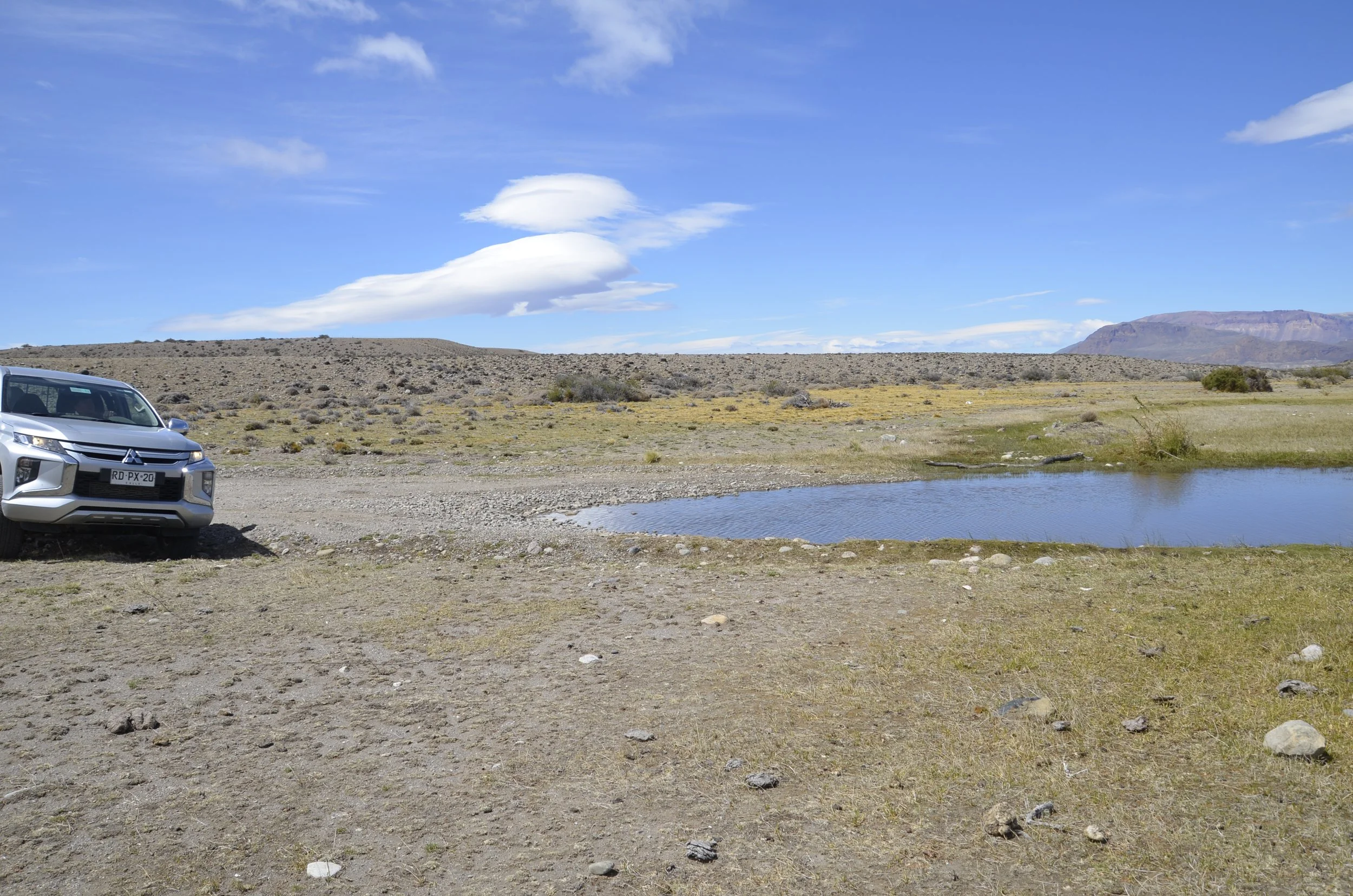
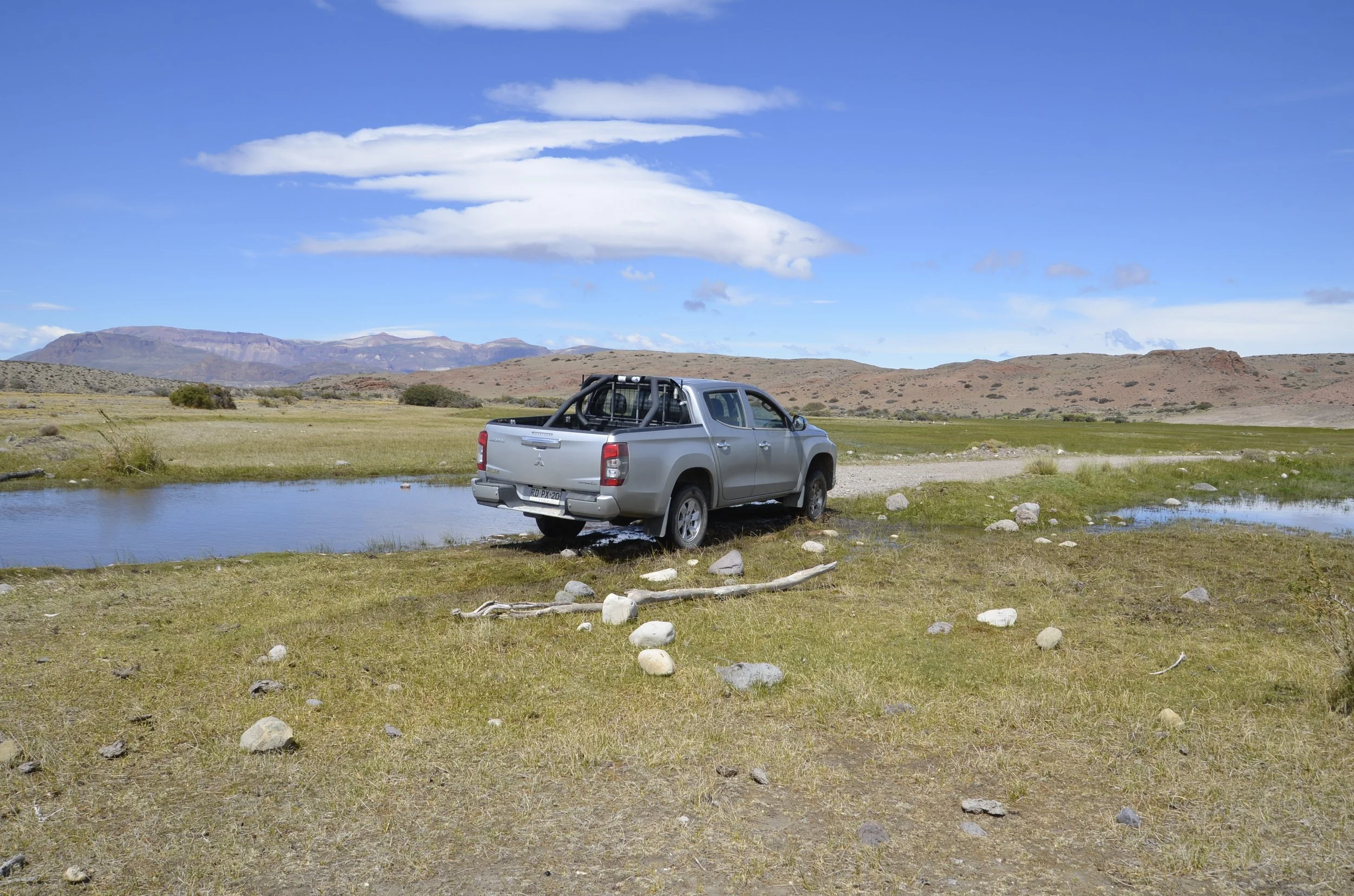
As we continued driving on the gravel highway that provided the best route between Argentina’s main north/south national road (Ruta 40) and Chile’s great southern road (the Carretera Austral, aka Ruta 7), we came upon this large area of water across the road, with no idea how deep it was…

… and I convinced Steve to drive around it, rather than through it -

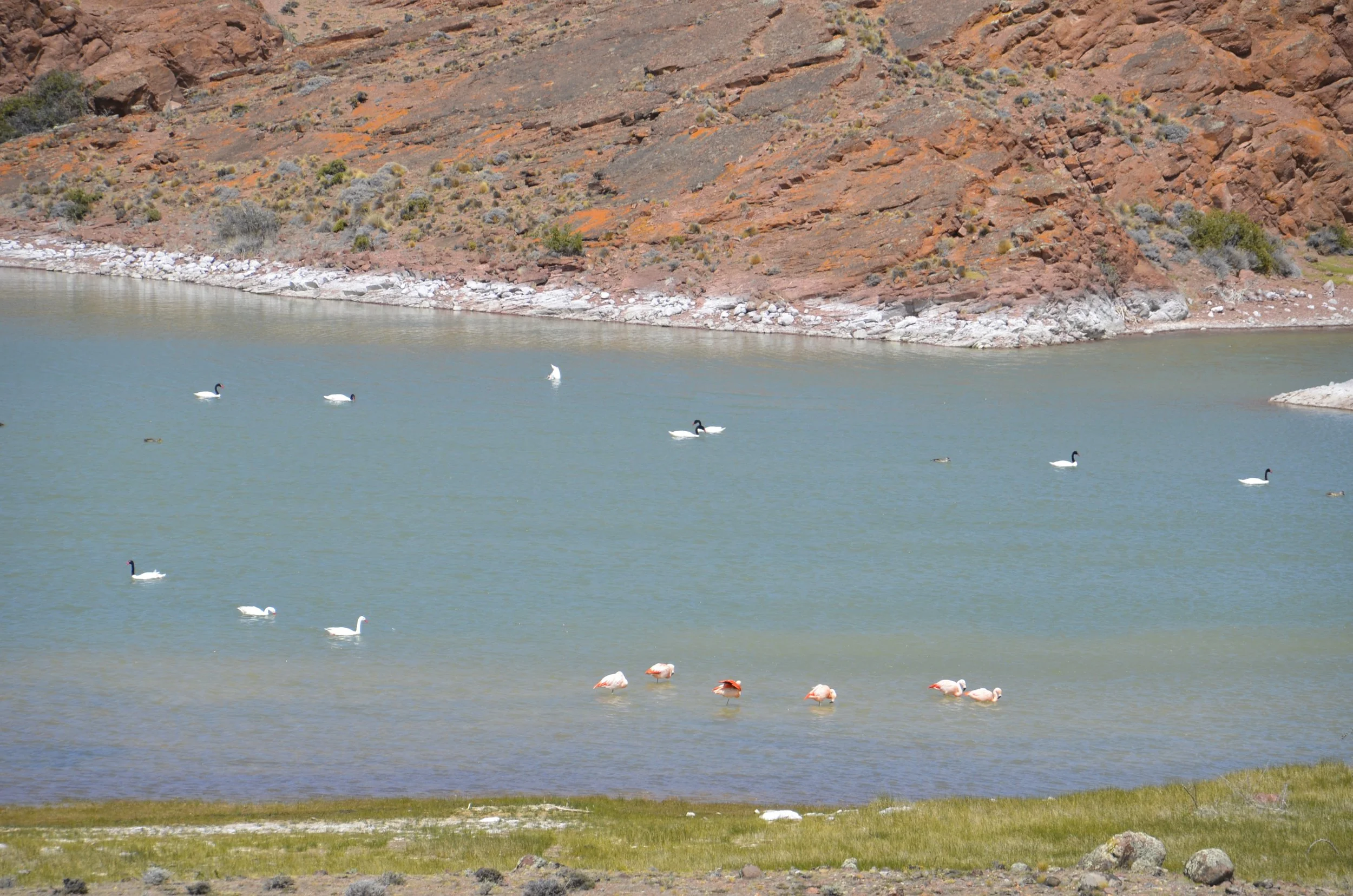
We stopped for lunch near this lake, and I enjoyed seeing all the different water birds - Chilean Flamingoes, Black-necked Swans, and a couple of Coscoroba swans

(did you see the one upended swan?)

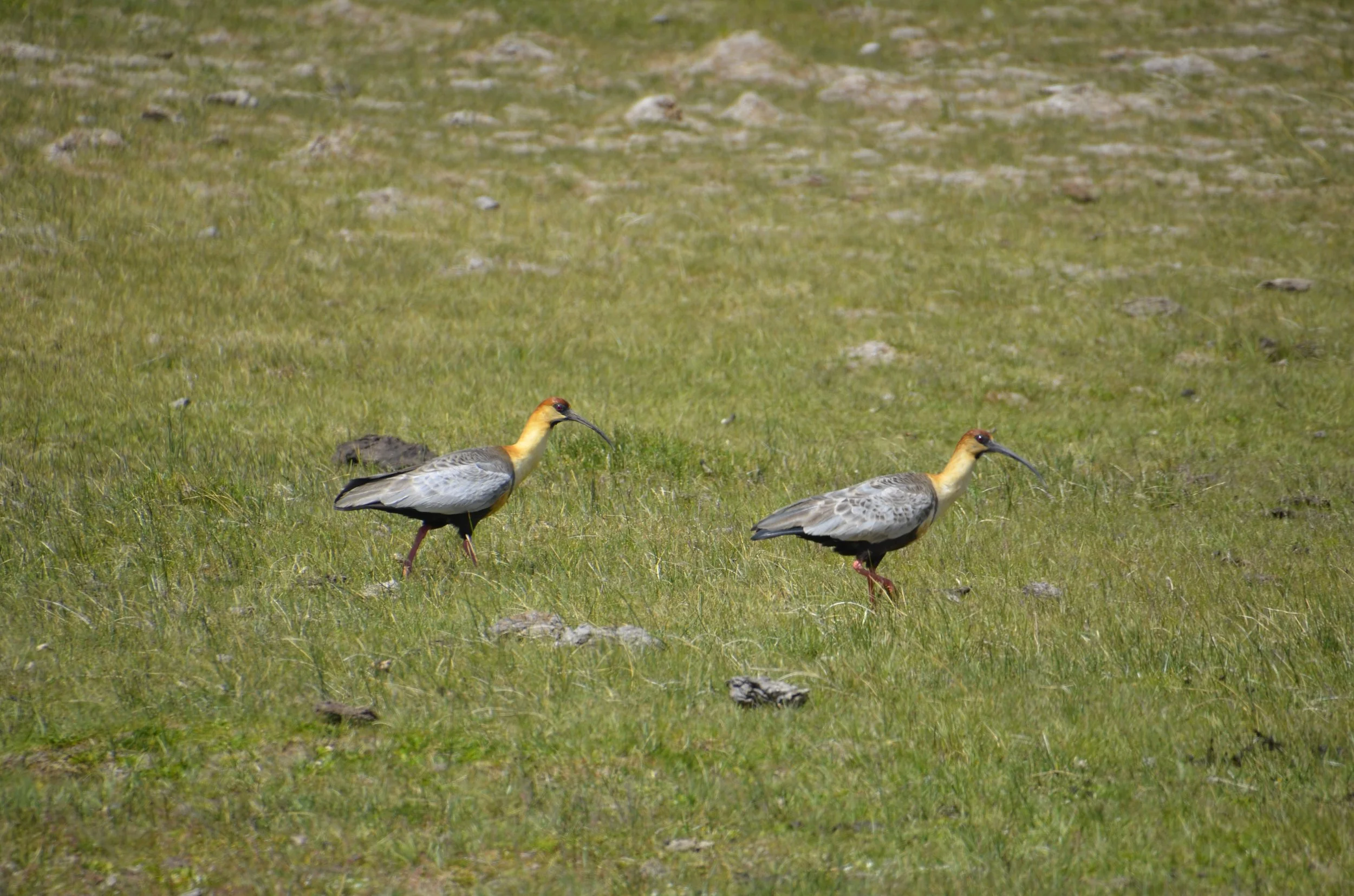
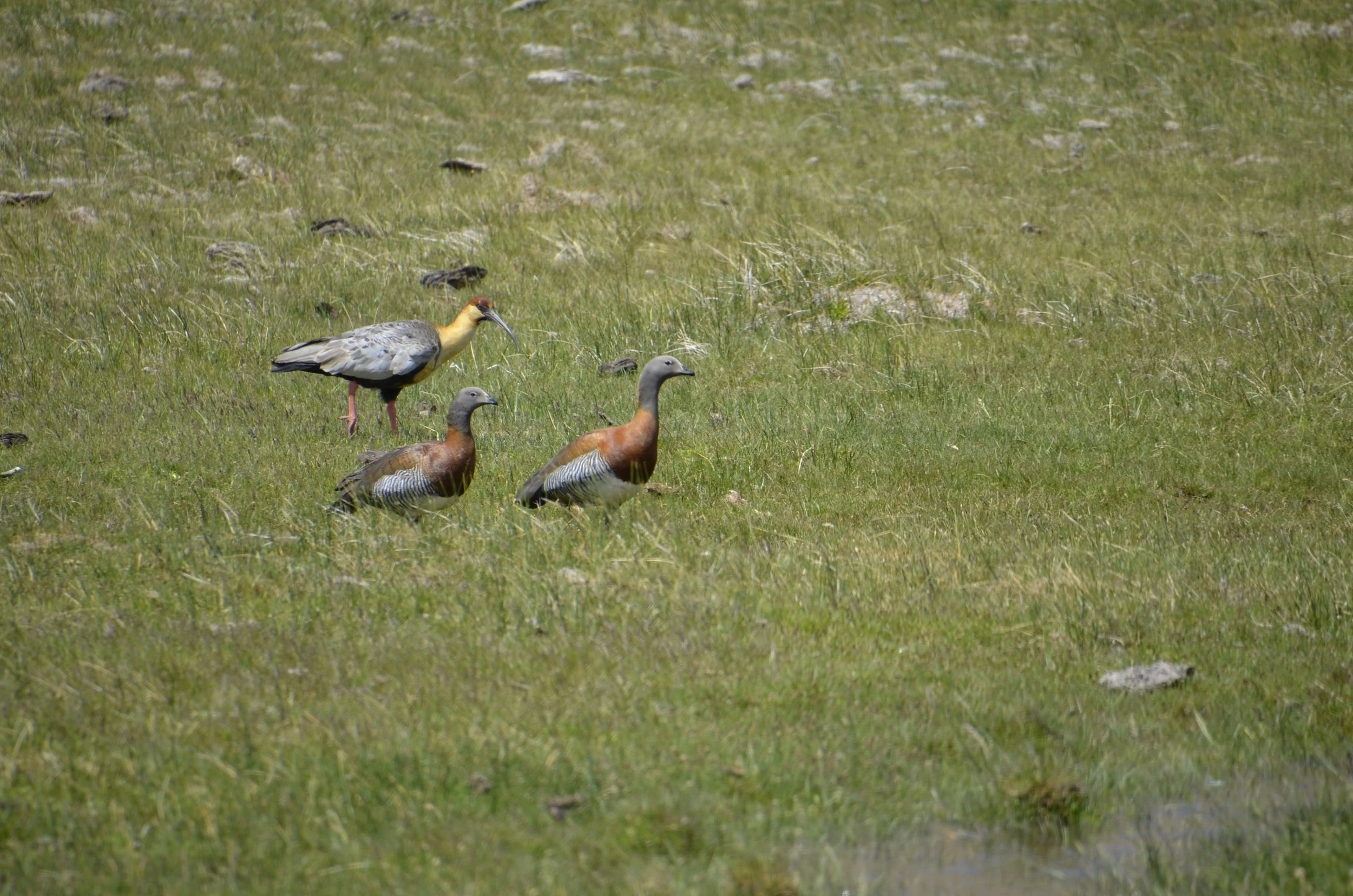
We saw these Black-faced Ibises come in for a landing…

check out their bills!

… near these Ashy-headed Geese -

Sorry, the birder came out for a minute - I’ll shove her back away. :)

The colors in this bluff were amazing, and we liked the different colored boulders that had fallen off -

(you may need to enlarge this to appreciate the pastel colors)

Another welcoming committee -

As we neared the Chilean border, the mountains really started rising…

… and there was more green and water around -

As we passed through Paso Roballos, through a very sleepy border crossing (Steve will have more on this in a later post), we started into Chile through the Chacabuco Valley…

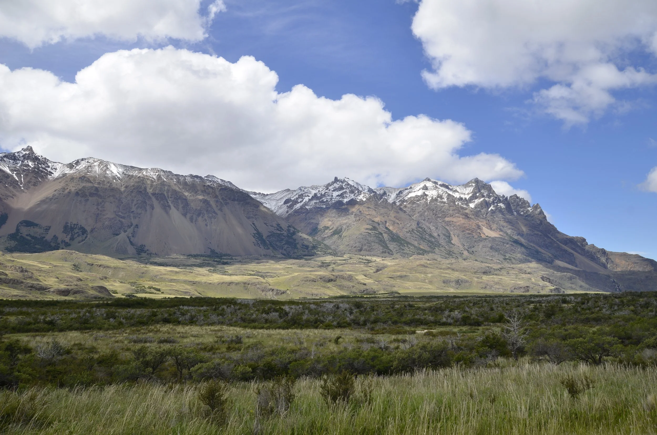
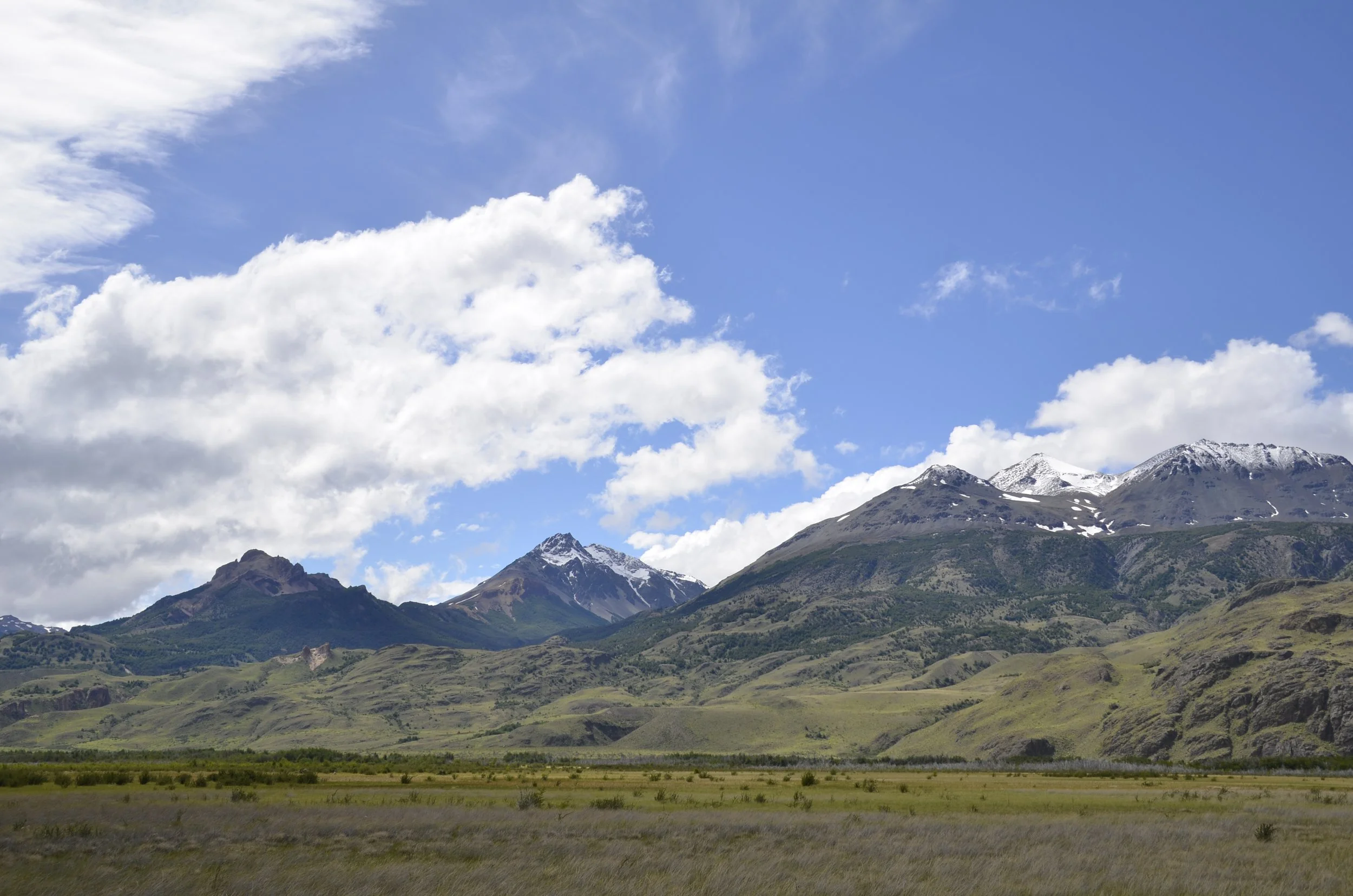
… which was jaw-dropping in its immensity and beauty -

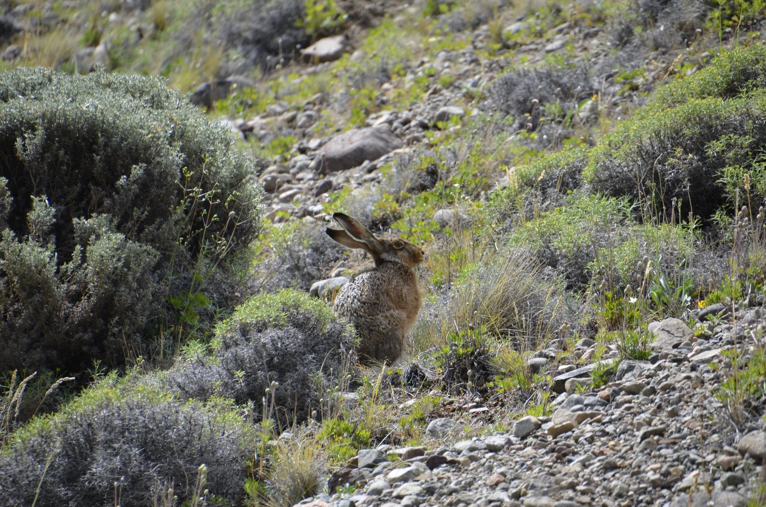
It was here that I was finally able to capture one of the large rabbits we’d see dashing across the road. These things are huge! They are the size of a Spaniel, I swear.

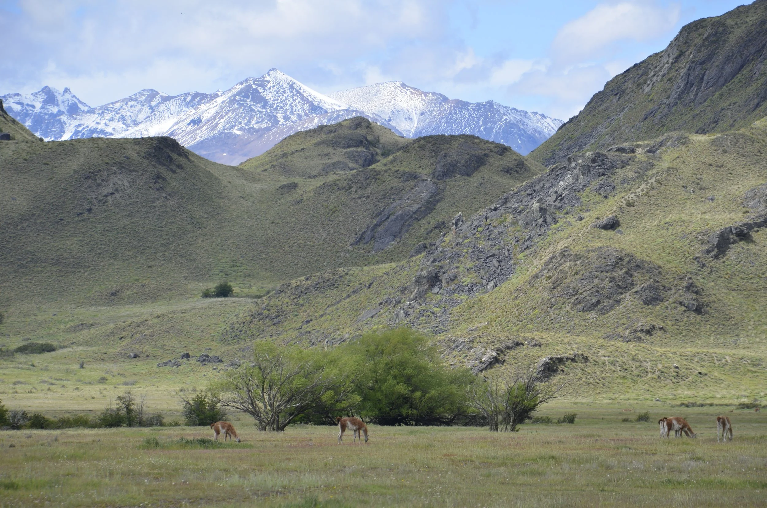
These may be the last Guanacos we saw, as we arrived into a much greener and rainy environment…

… and we started seeing primroses everywhere, along roadsides and on many hikes -

We were really glad to smell moisture in the air, after almost a week in very arid and dusty conditions. However, I’ll close with a parting shot from the desert -

Parque Patagonia, Argentina

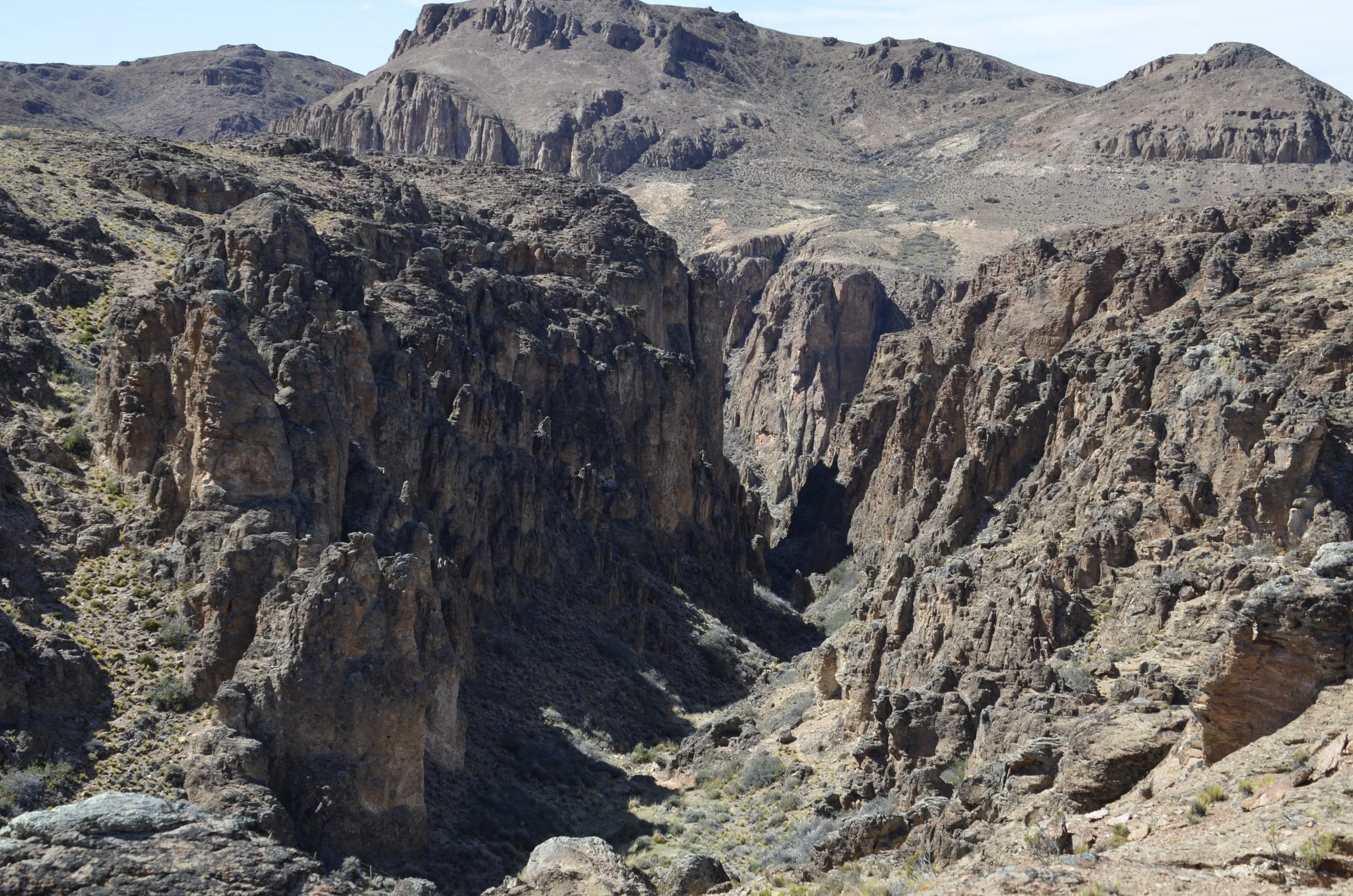
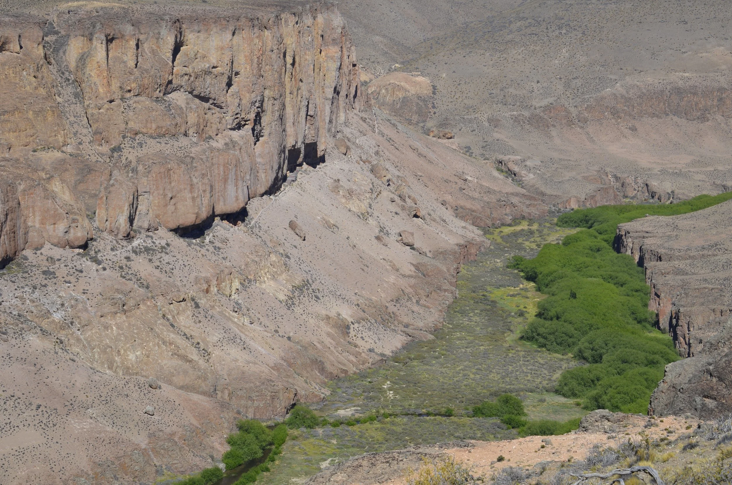
We went on two short hikes during our stay in the desert. The first day we combined several trails that the hotel told us about. The first part was along the top of the Pinturas River canyon, and had spectacular views. As we started down the dusty trail, it looked like the ground was moving!

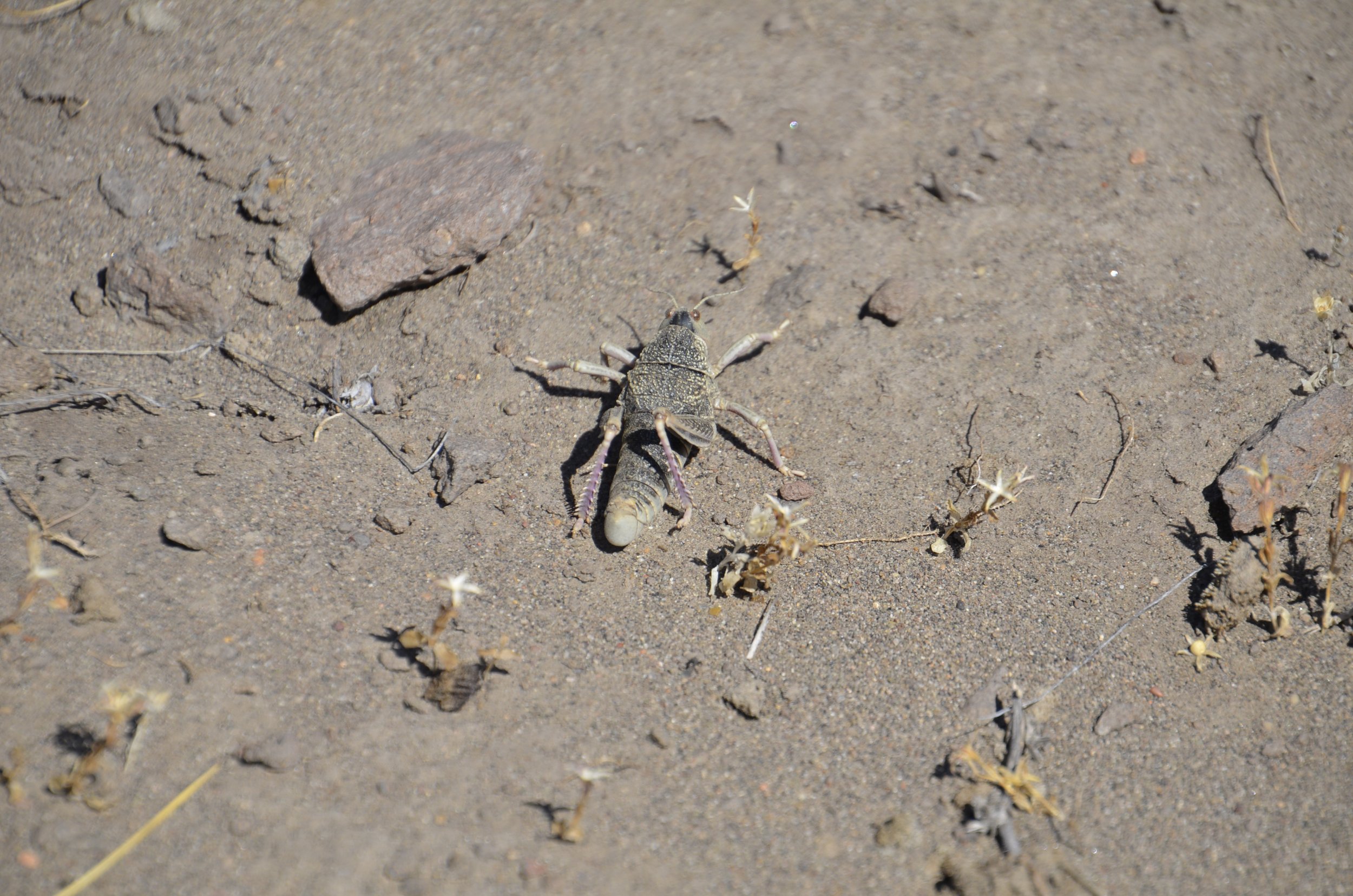
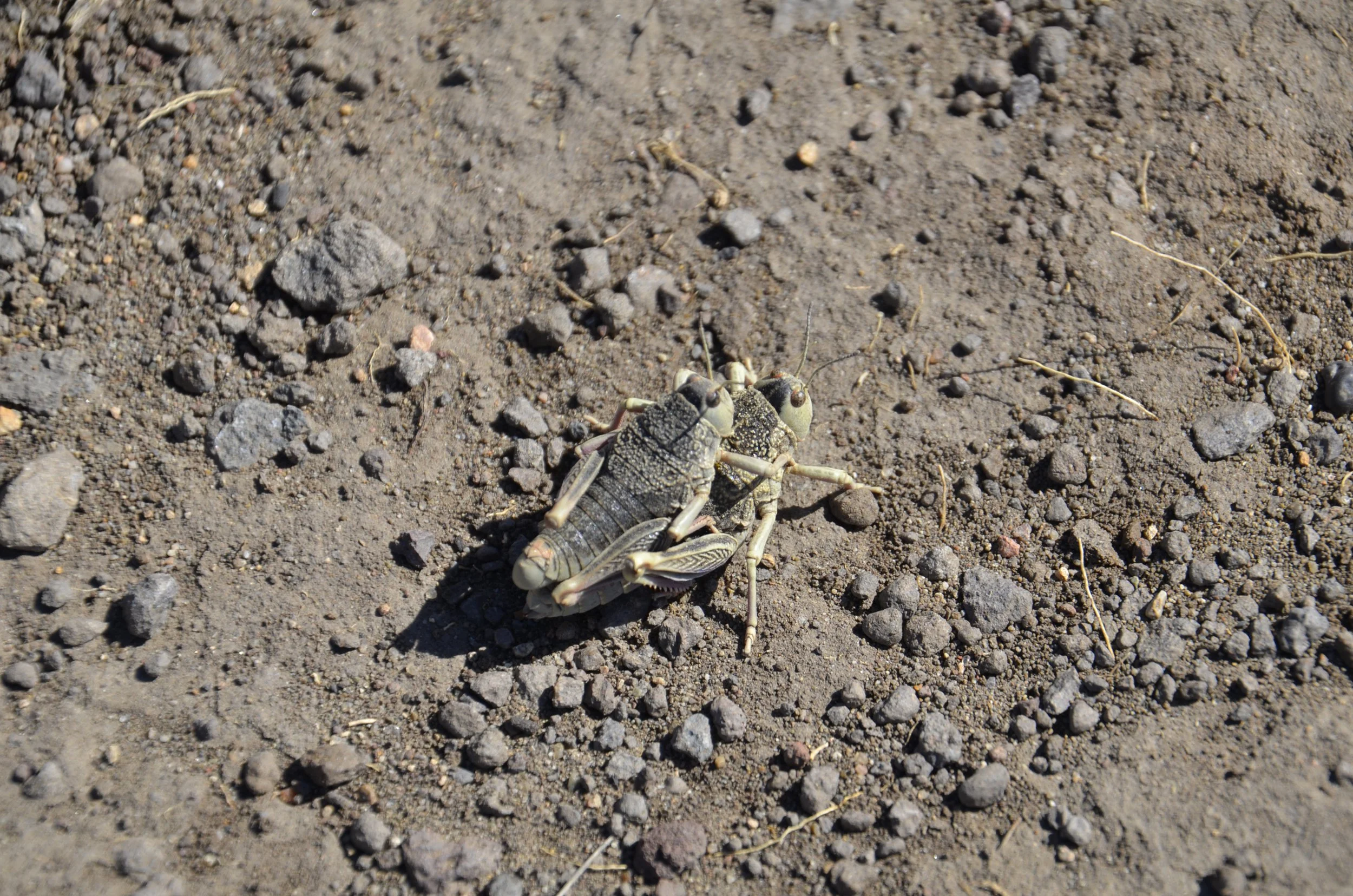
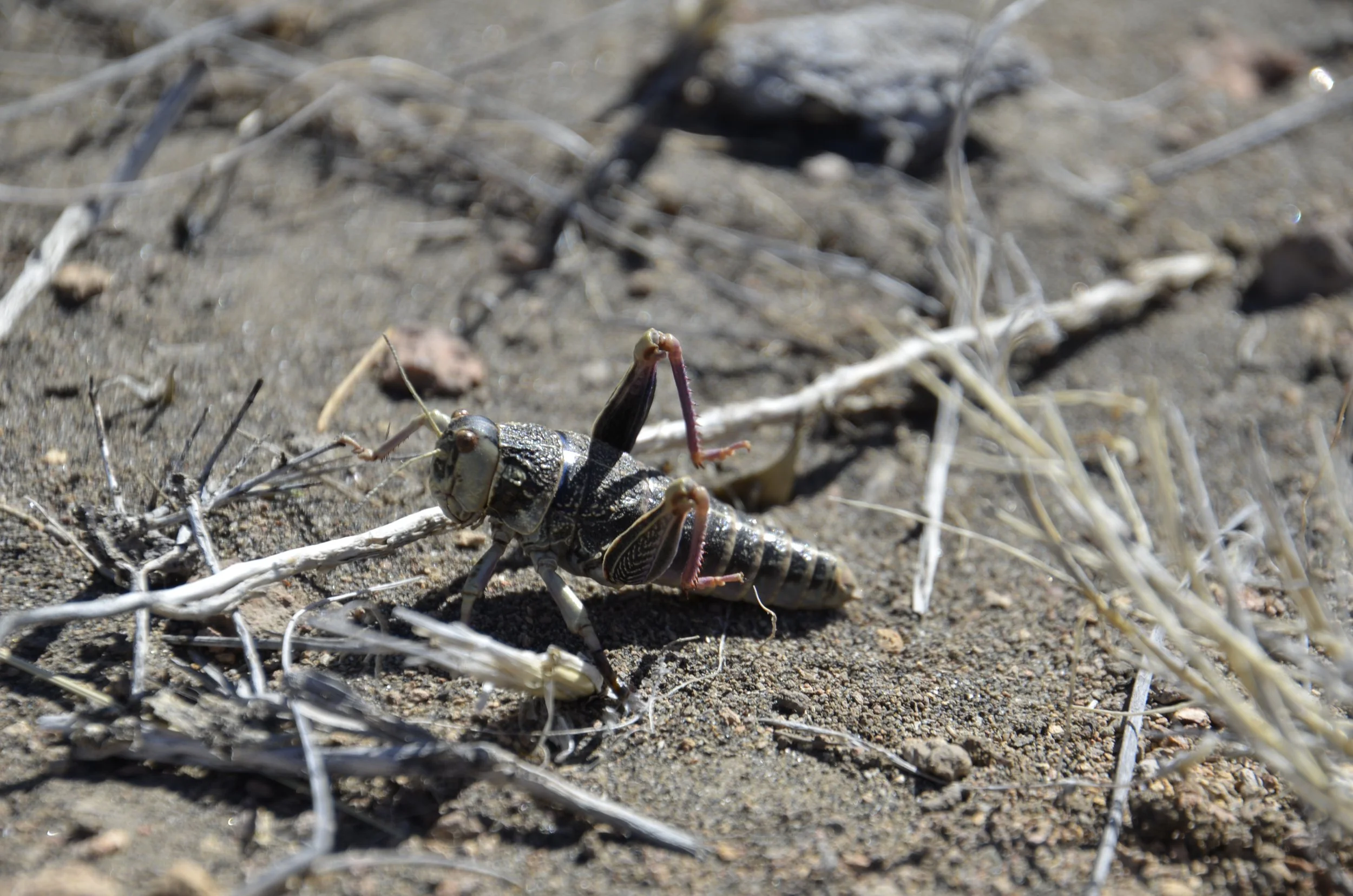
There were thousands of massive grasshoppers doing their thing…

These were easily the length and thickness of your thumb! For the next video, you don’t need the sound on - it’s only wind blowing. (remember to open this email in your browser)

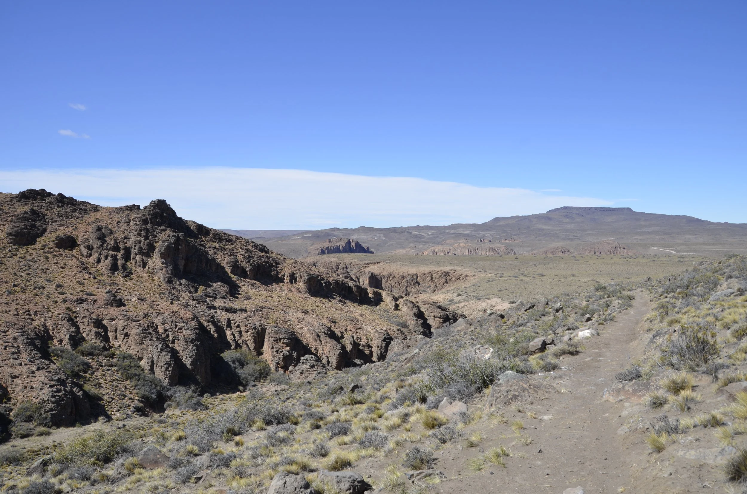
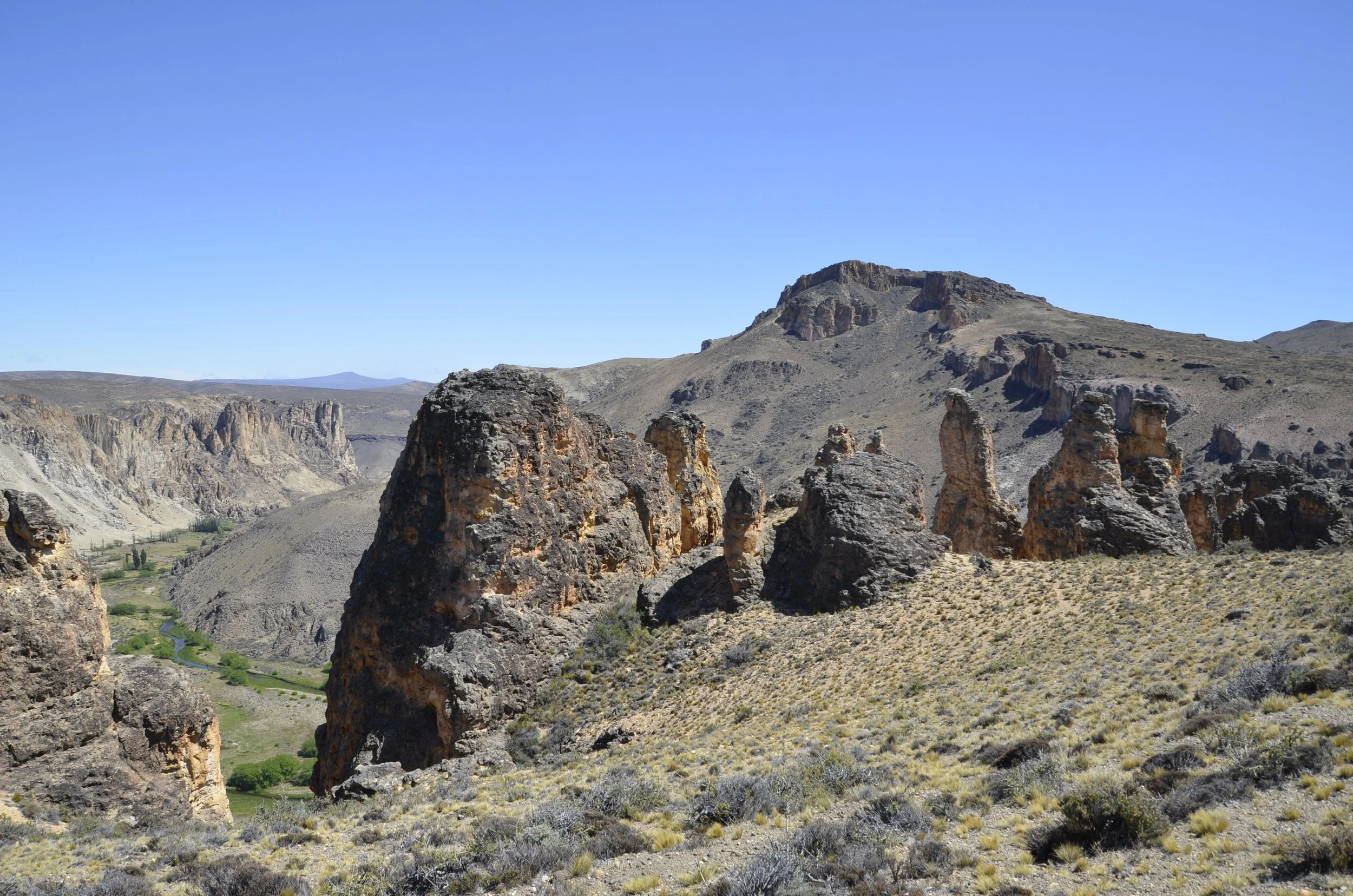
This was the country we were hiking in…

… and we even had a welcoming committee to start!

Everything was very dry and rugged…

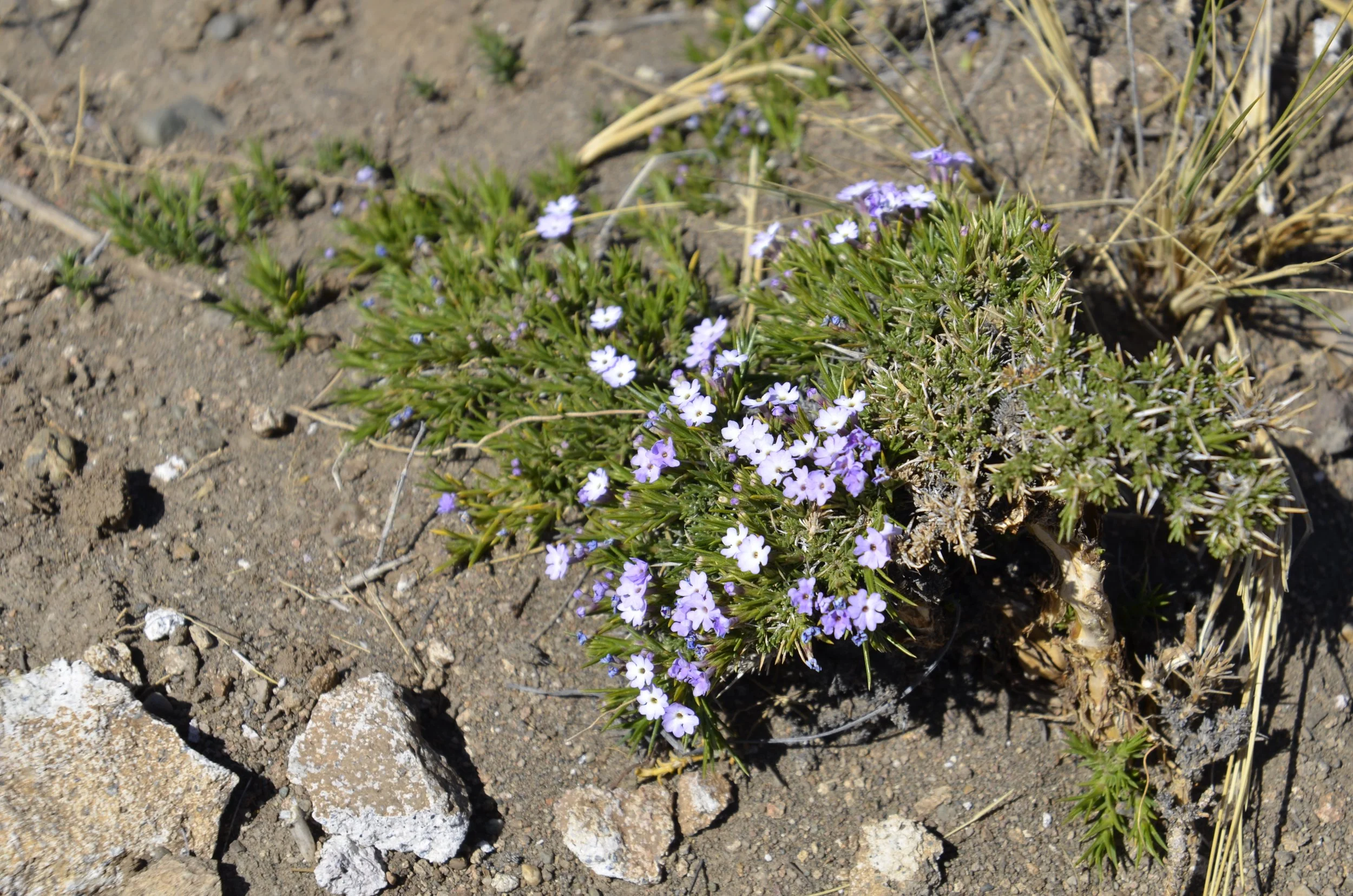
… but there would be sudden patches of green and color -

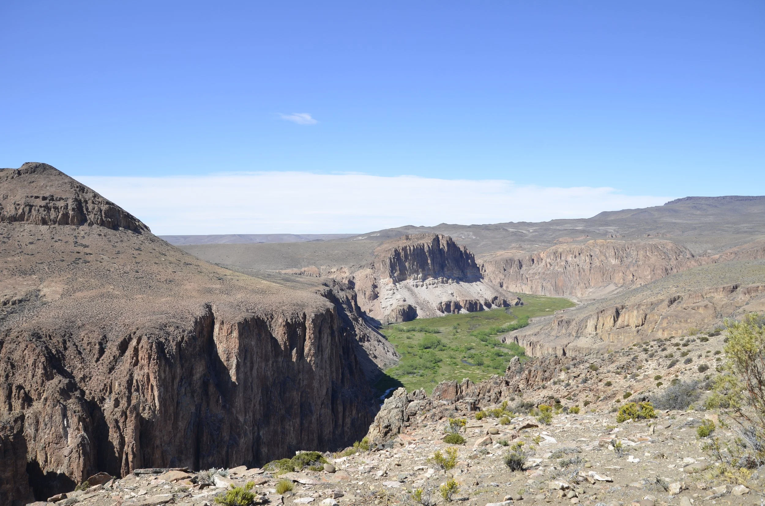
Rounding a corner, though, revealed the Pinturas River valley…

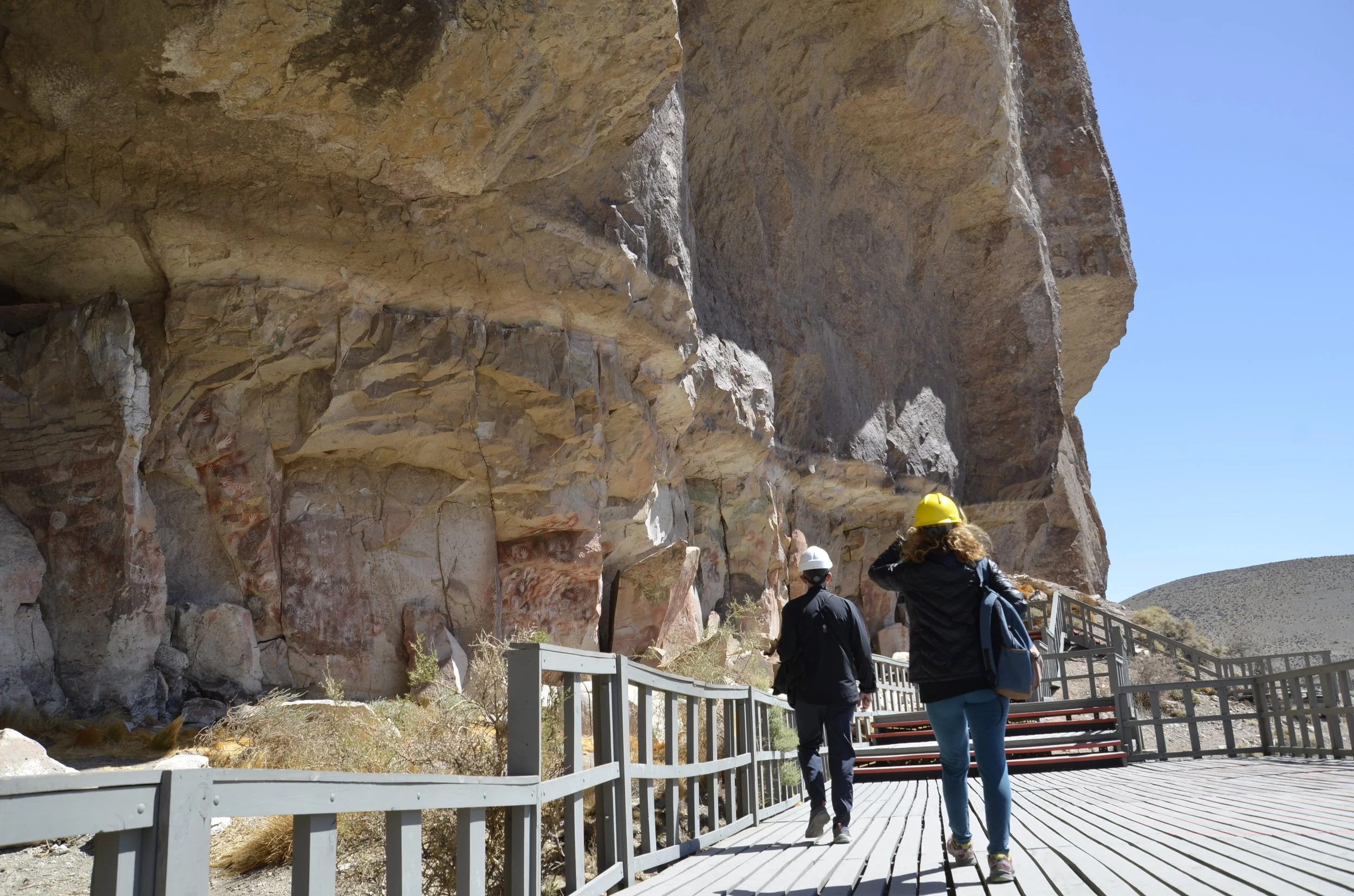
… and further on, we could see Cueva de Los Manos that we had visited the previous day -

(see the path and boardwalks under the rock overhang on the left?)

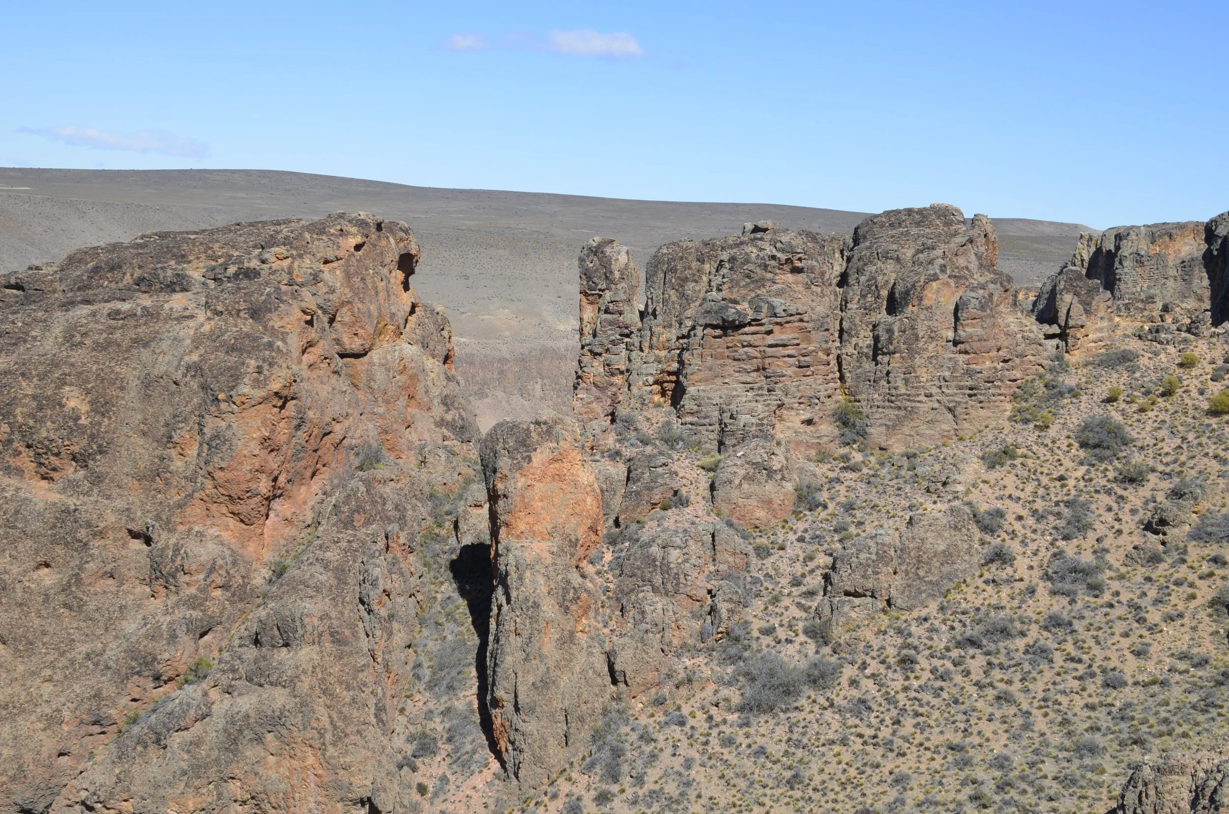
I thought these formations were neat, with both their vertical, as well as horizontal lines -

Another big fella to point out the way -

Another cool view of the contrasts we saw -

Along the trail would be sudden pops of color…

… and then even a double -

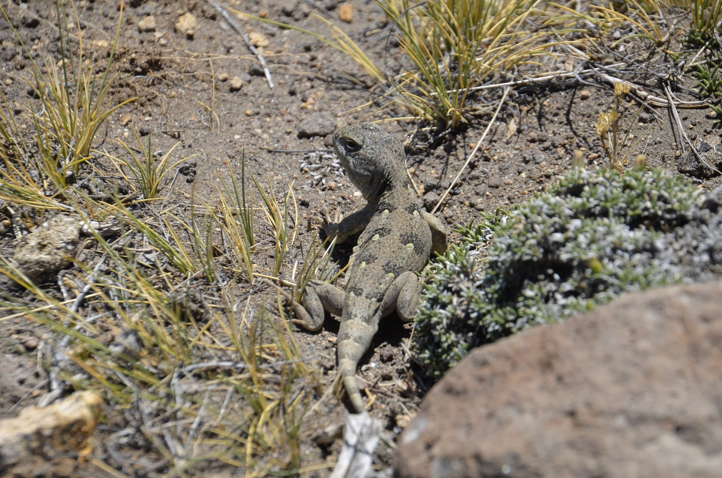
We were surprised that this was the only reptile we saw -

Ok, so much for that hike -

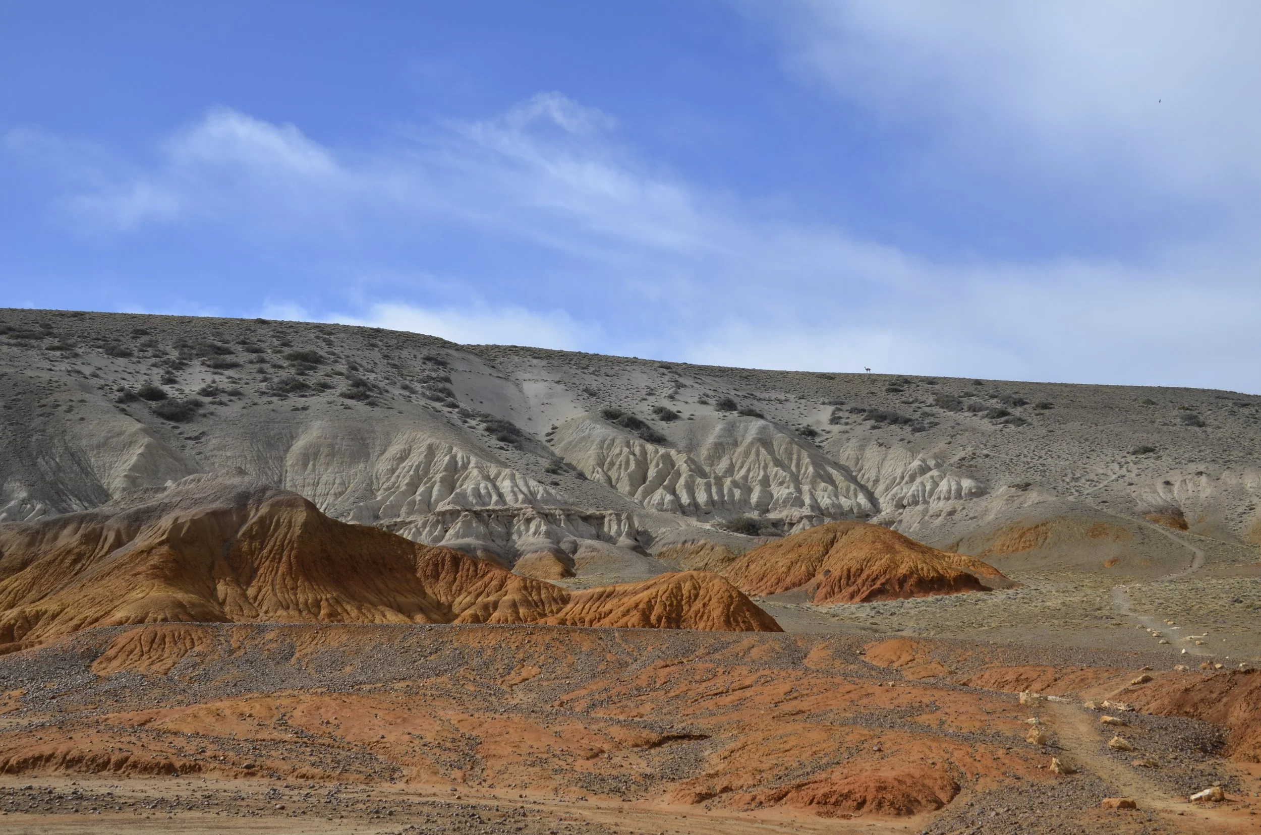
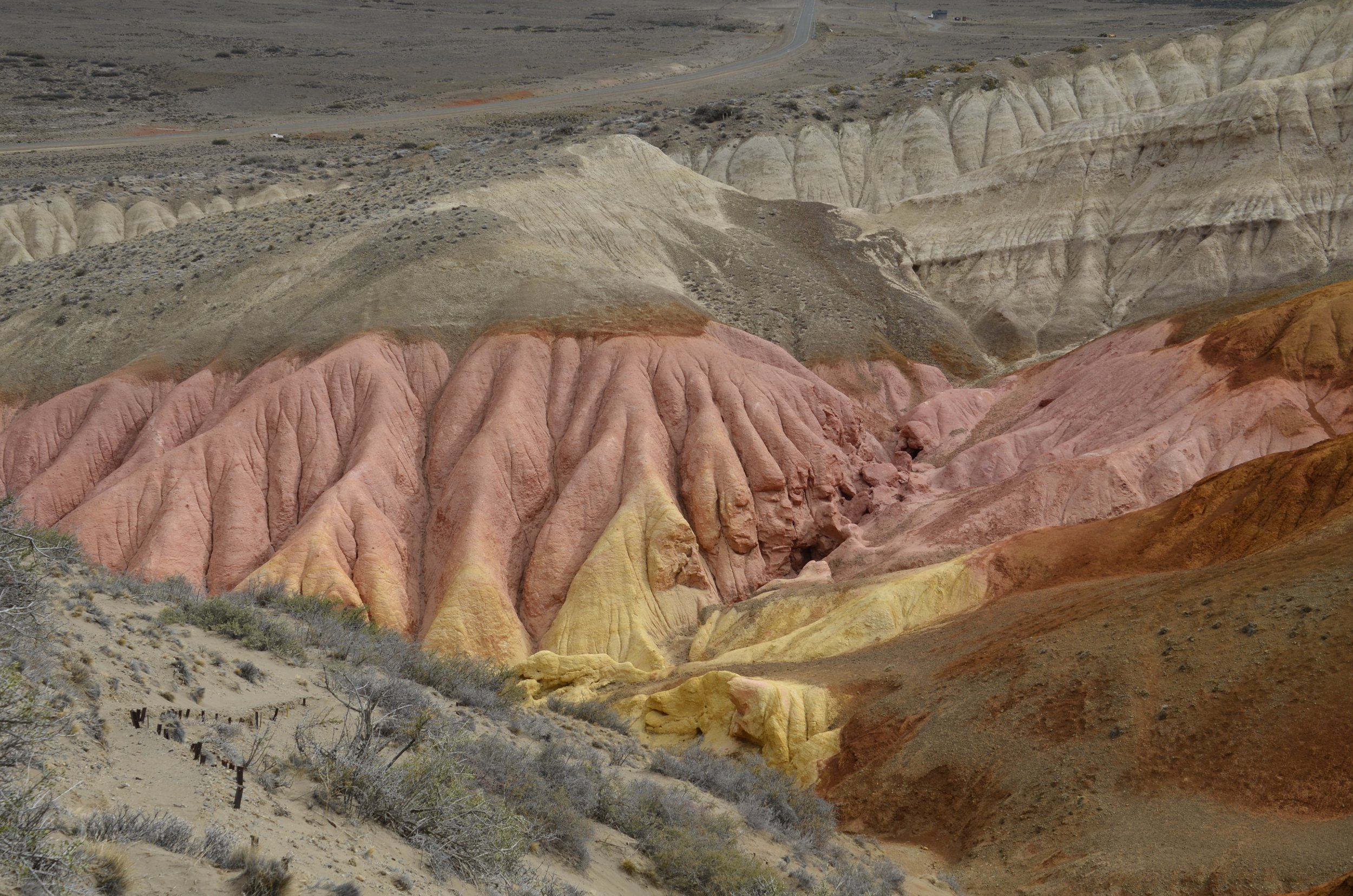
The second hike we did was through the colored hills we had seen from the highway as we drove in -

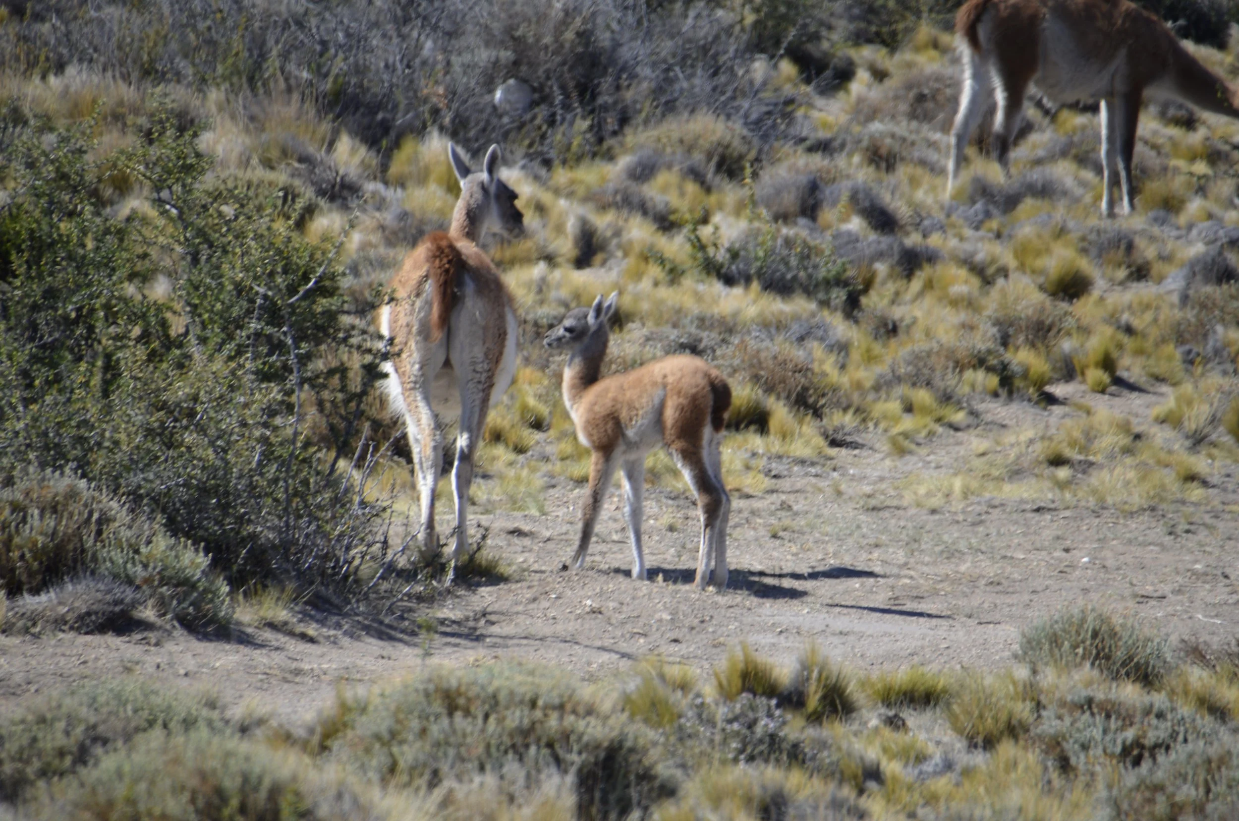
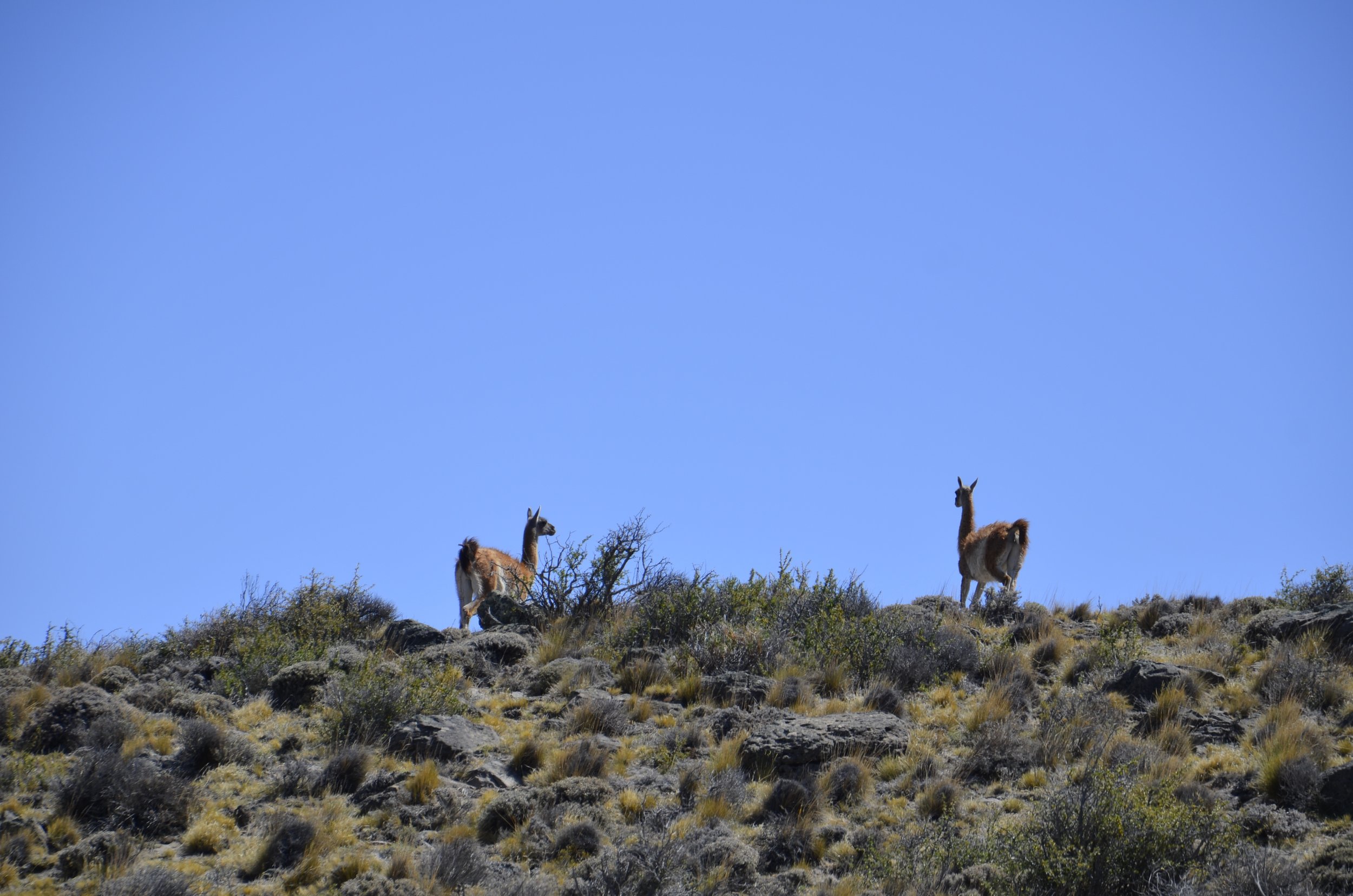
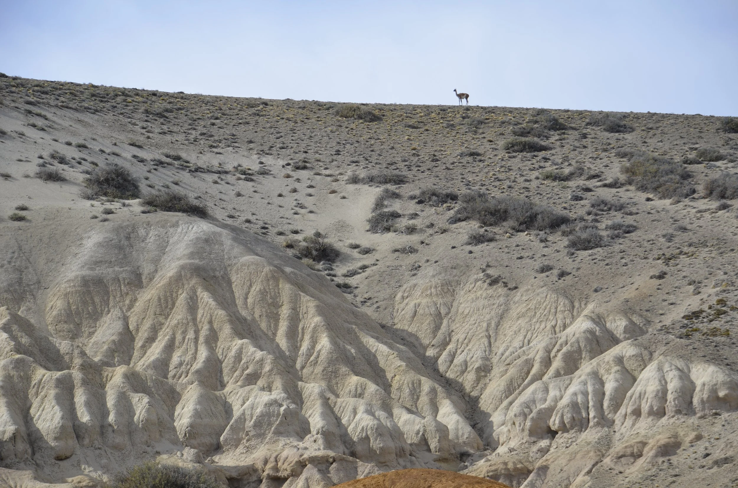
Guanacos were ever present (just not very numerous) -

When the sun was out…

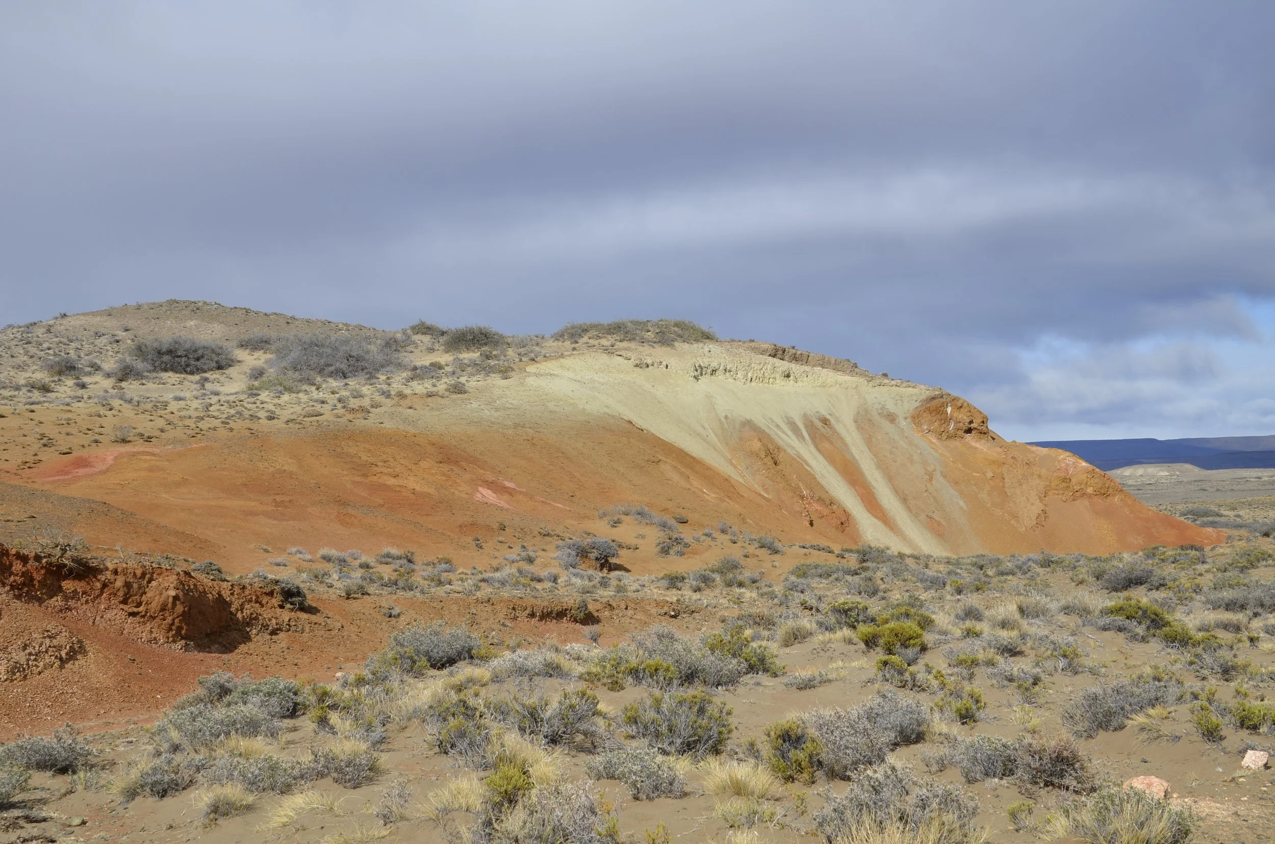
… the colors really shone, but I also liked them against dark skies and the hills in the distance -

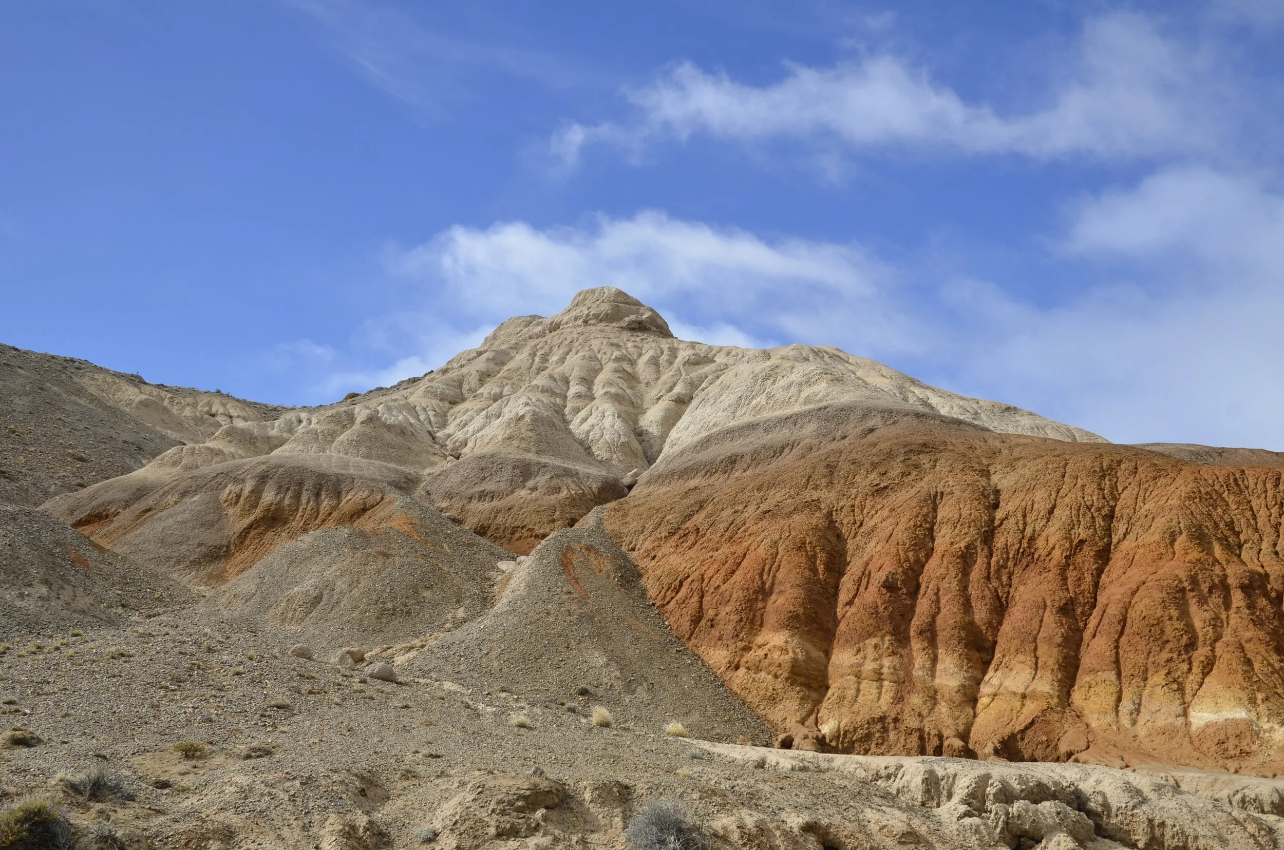
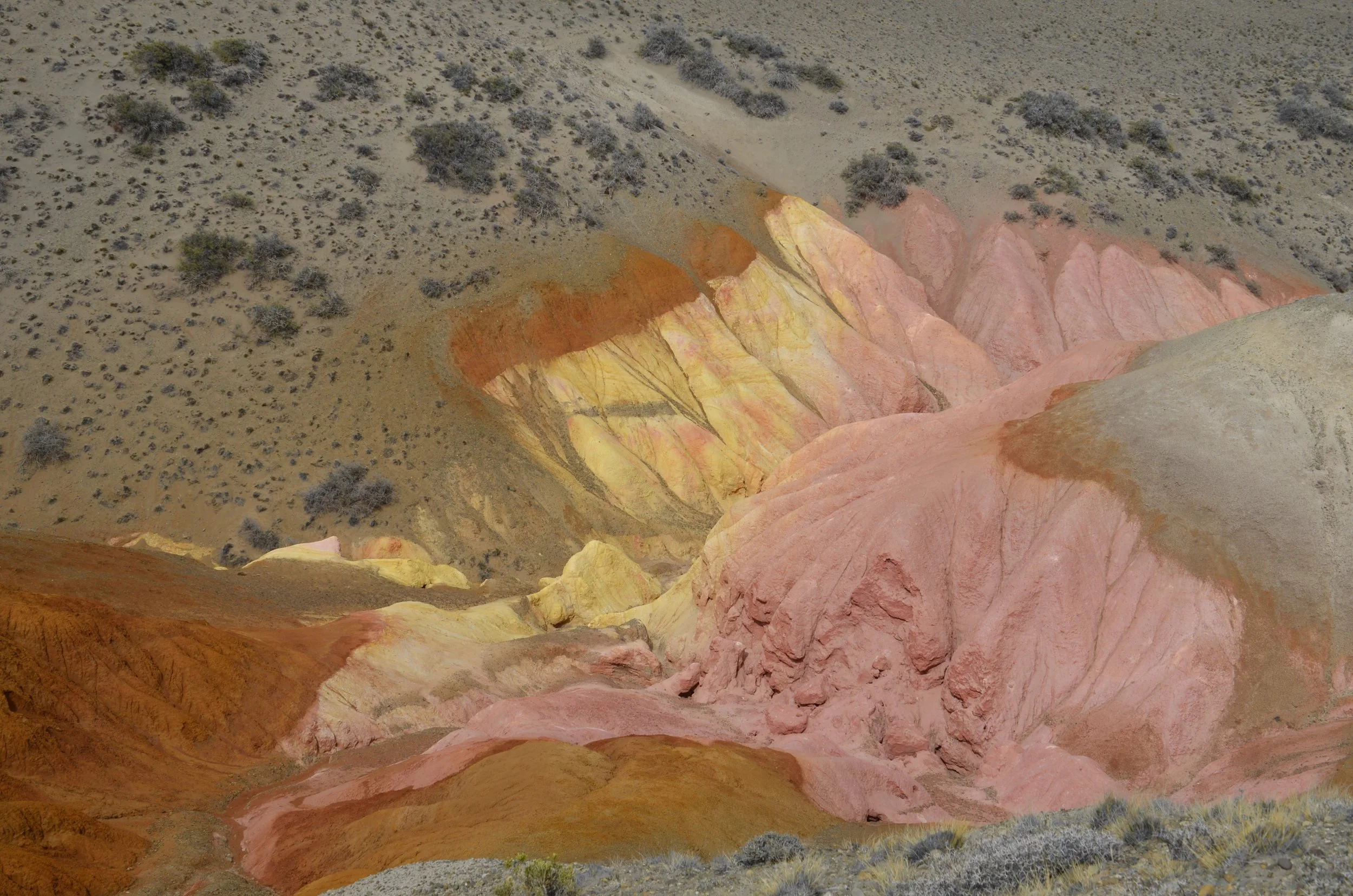
Very neat folds of color…

… which looked even better when seen from the mirador on top, and lit by the sun -

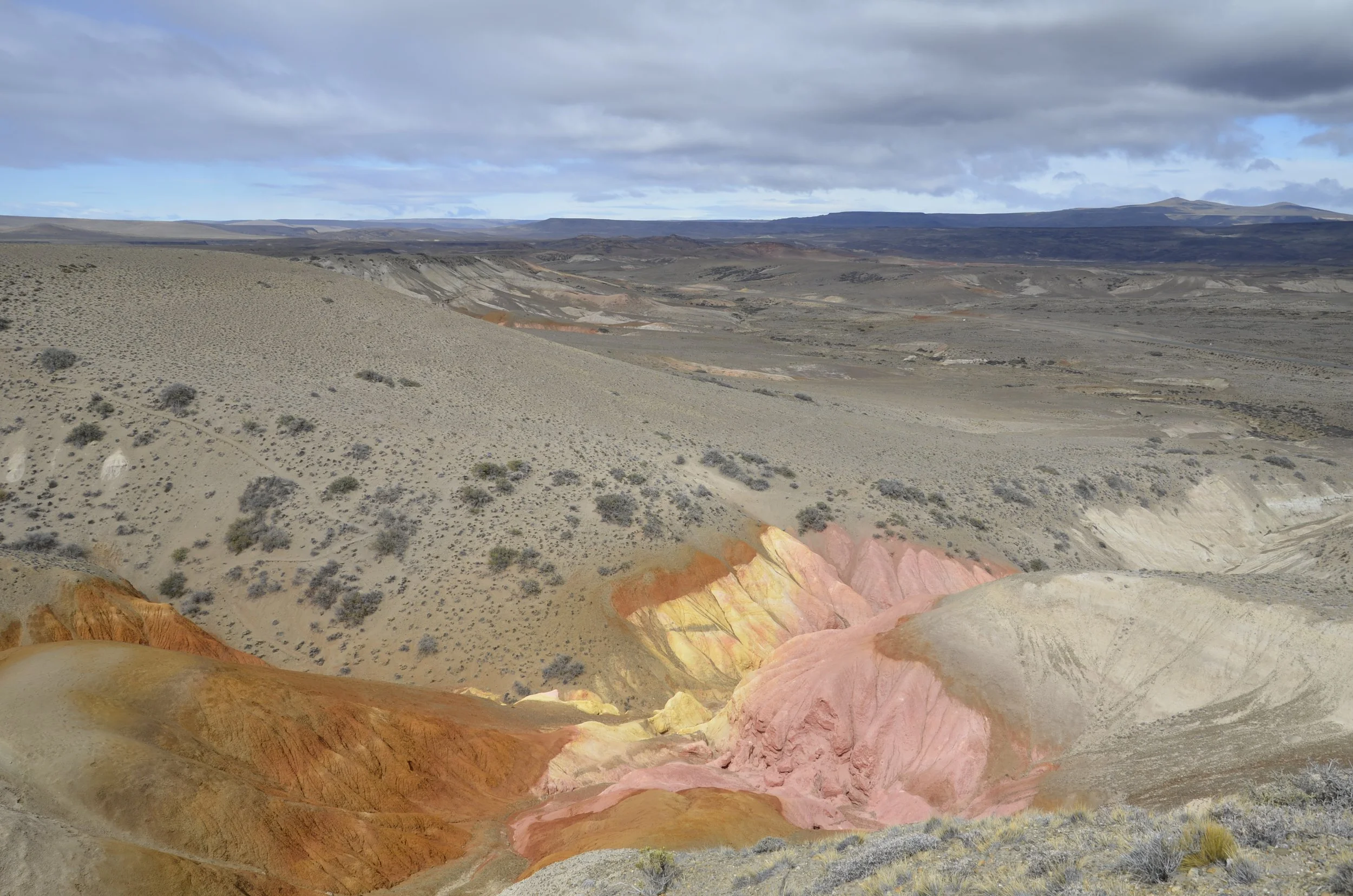
Now, pulling back to see the bigger picture -

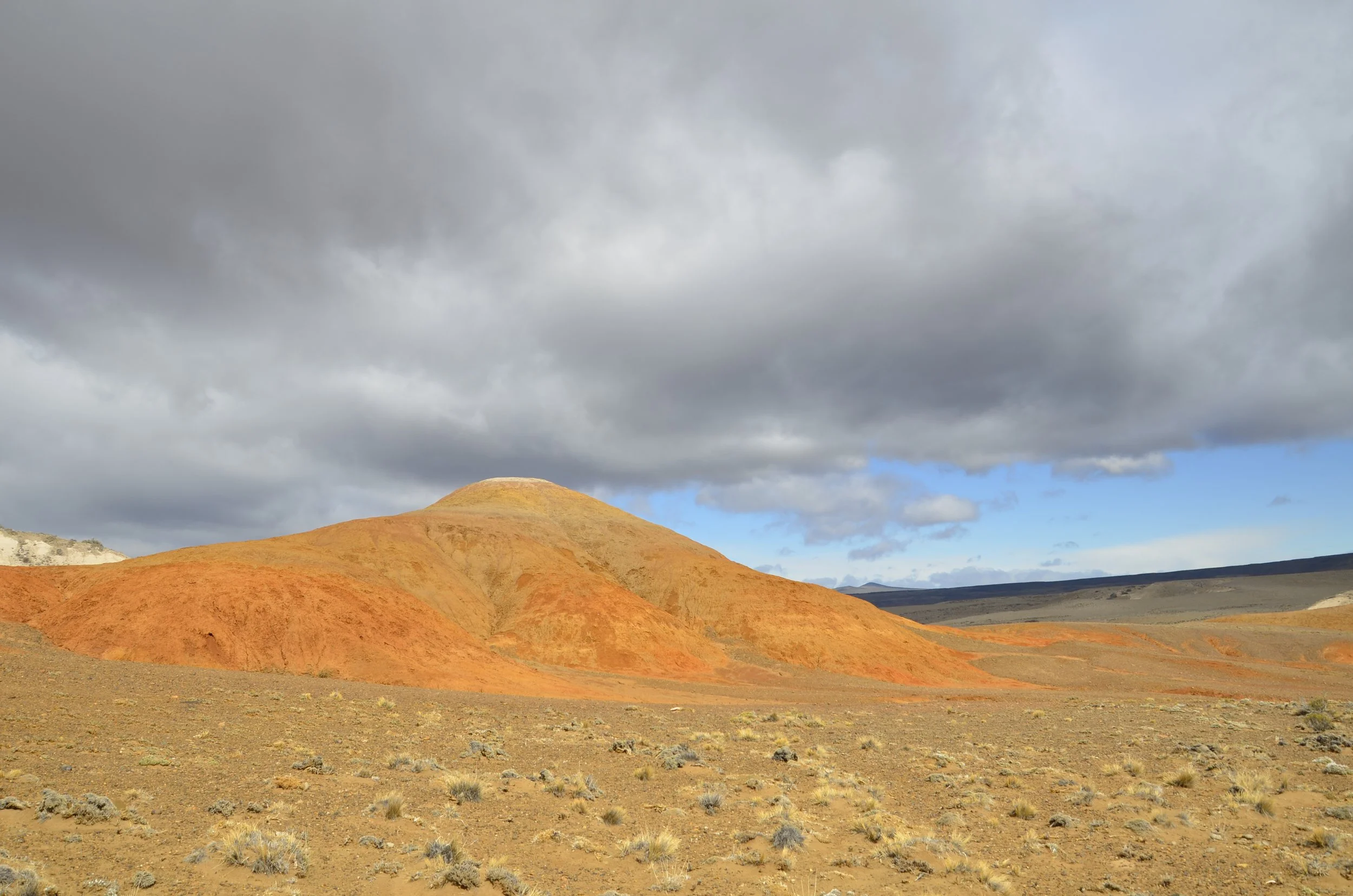
I decided to close with this picture because of the lighting and color -

Cueva de Los Manos

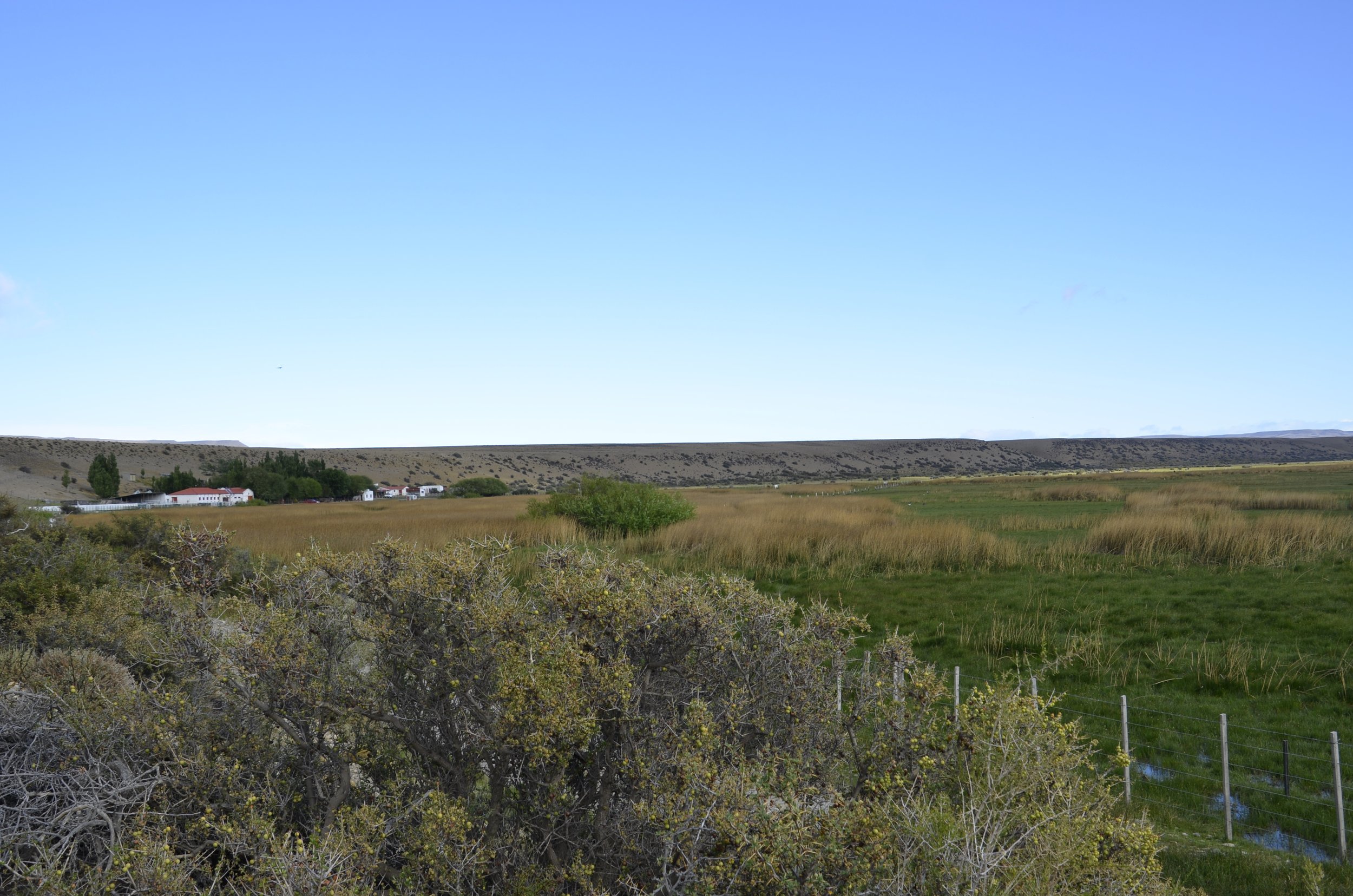
As we drove away from the Villa La Angostura estancia, there were some wetlands right alongside the gravel road…

… and that sight above just made me smile.

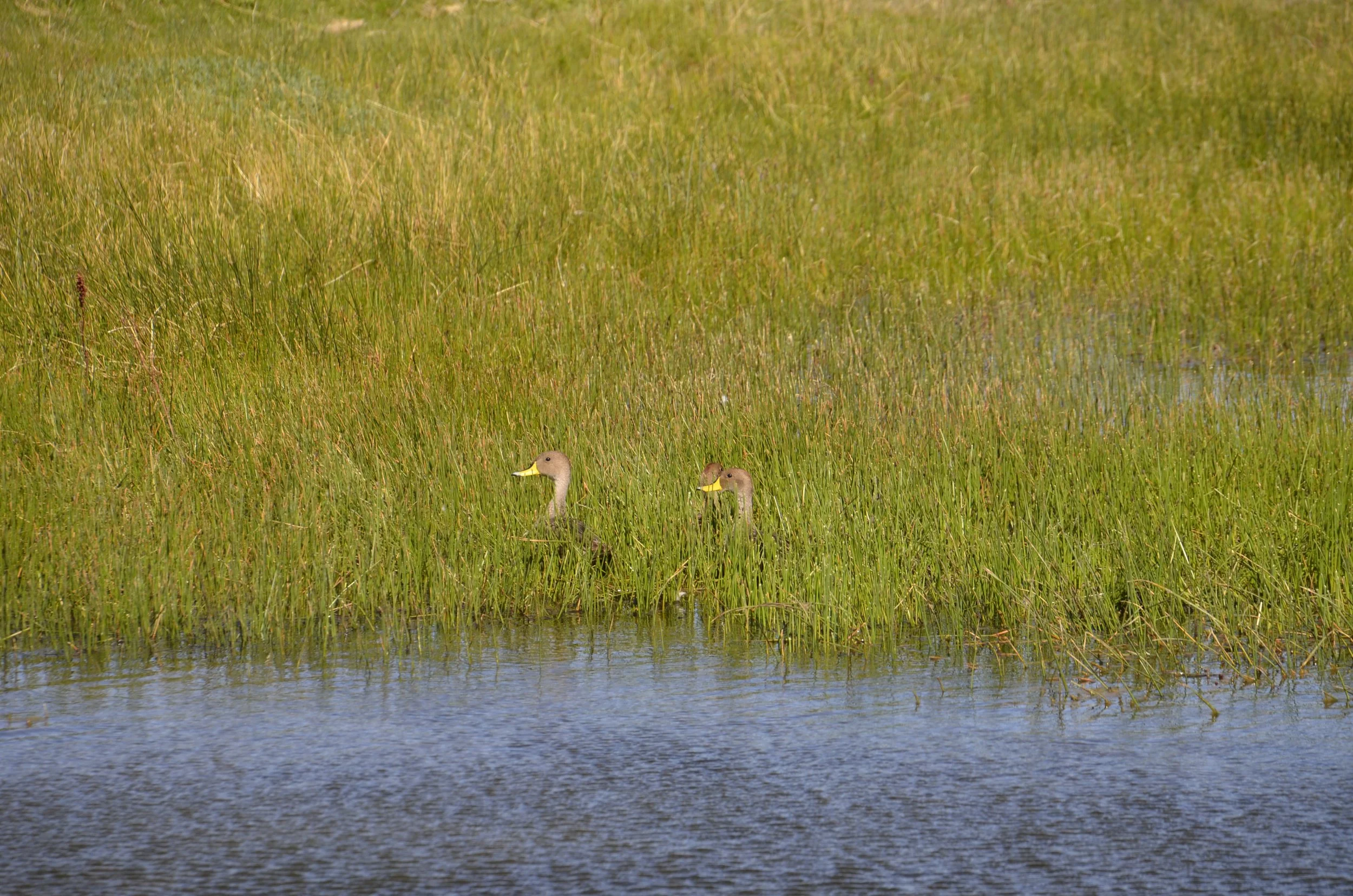
There were gorgeous Chiloe Wigeons shimmering in the morning light -

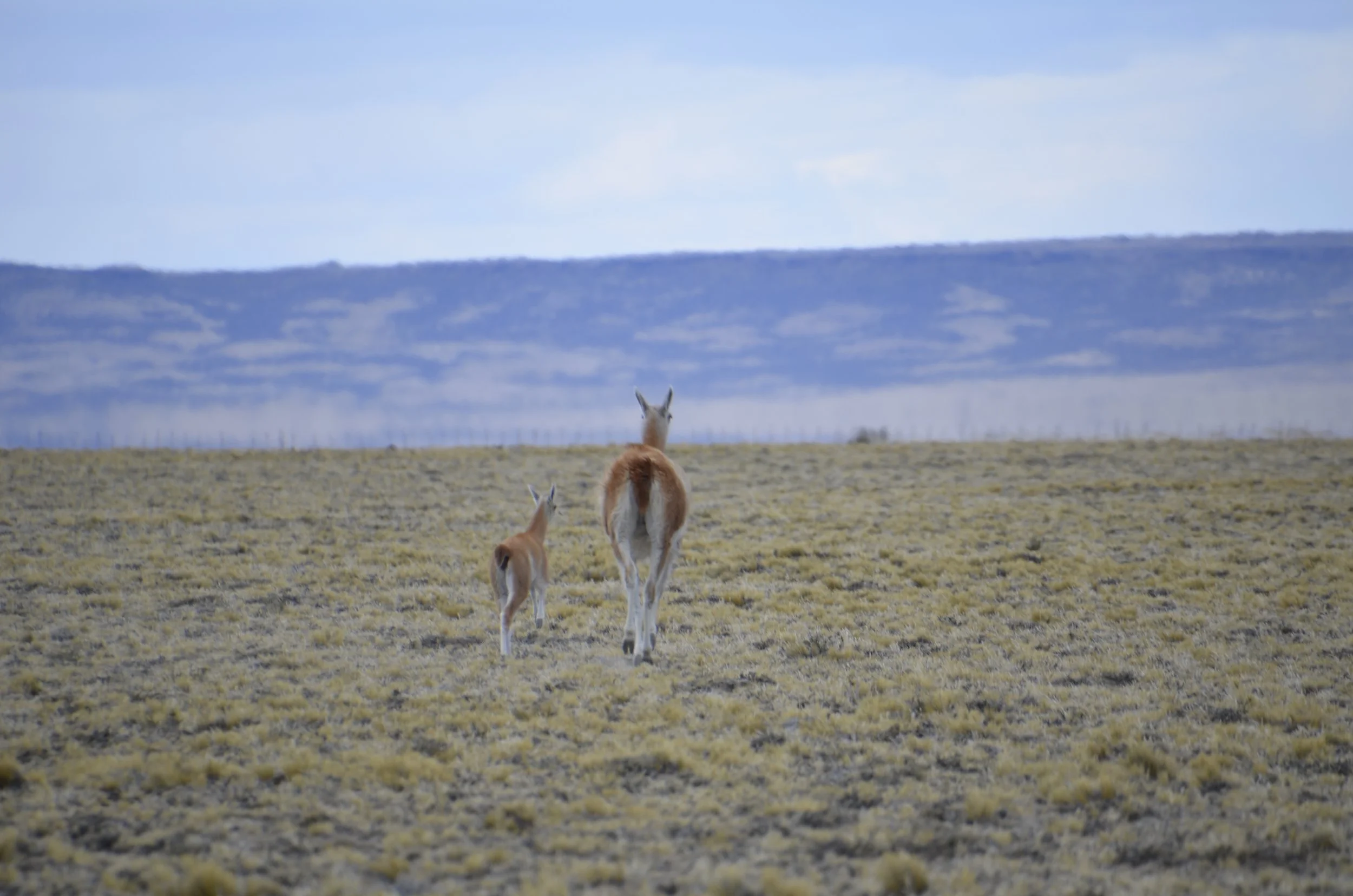
Very quickly, the land turned barren and contained Guanaco butts…

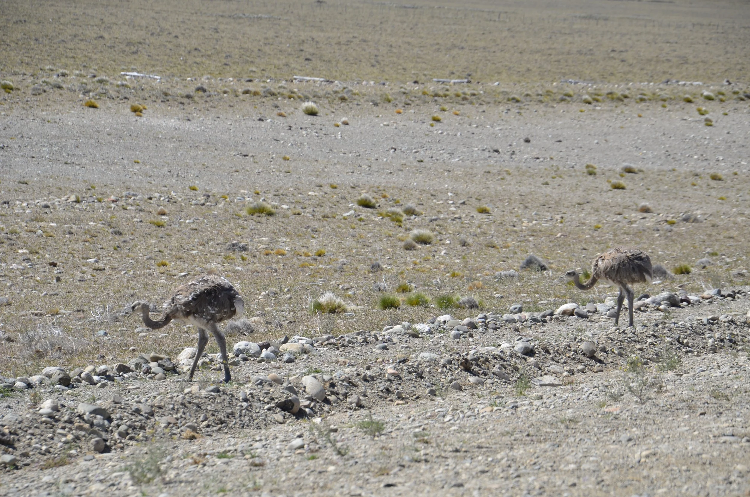
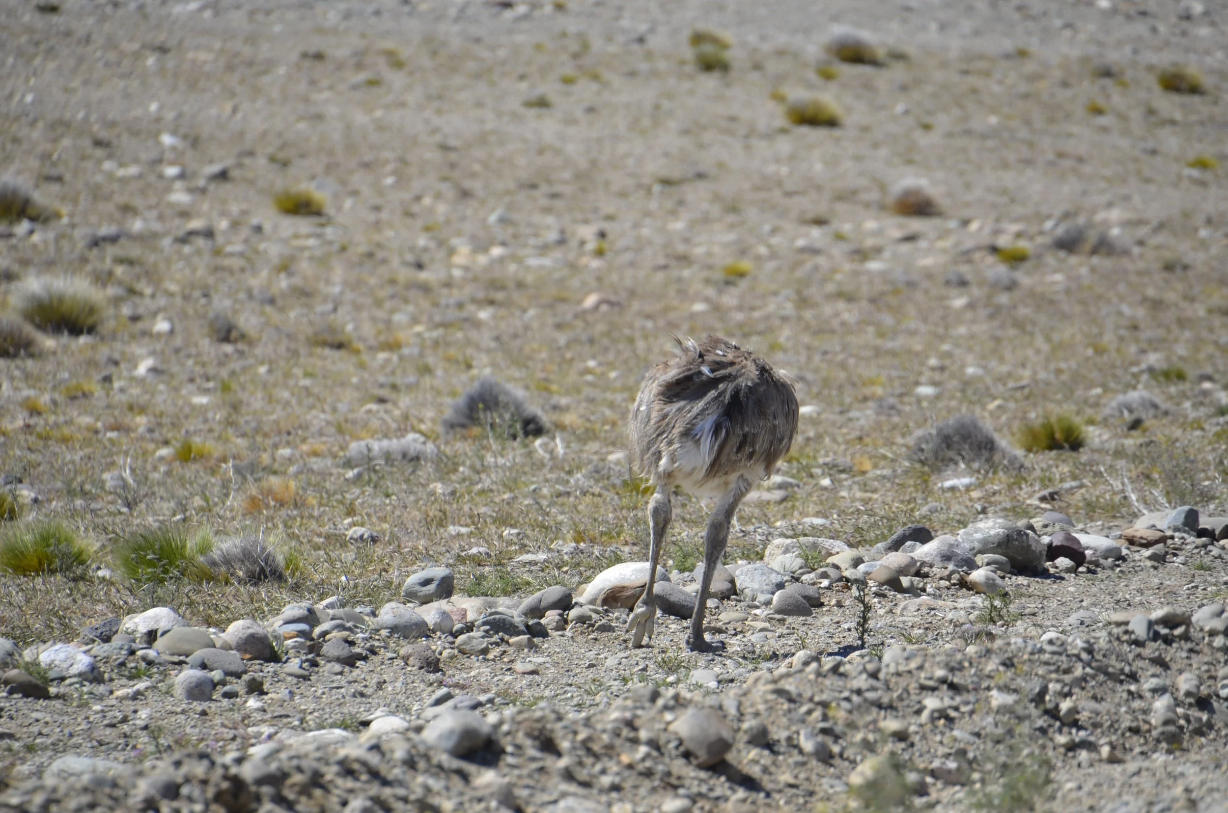
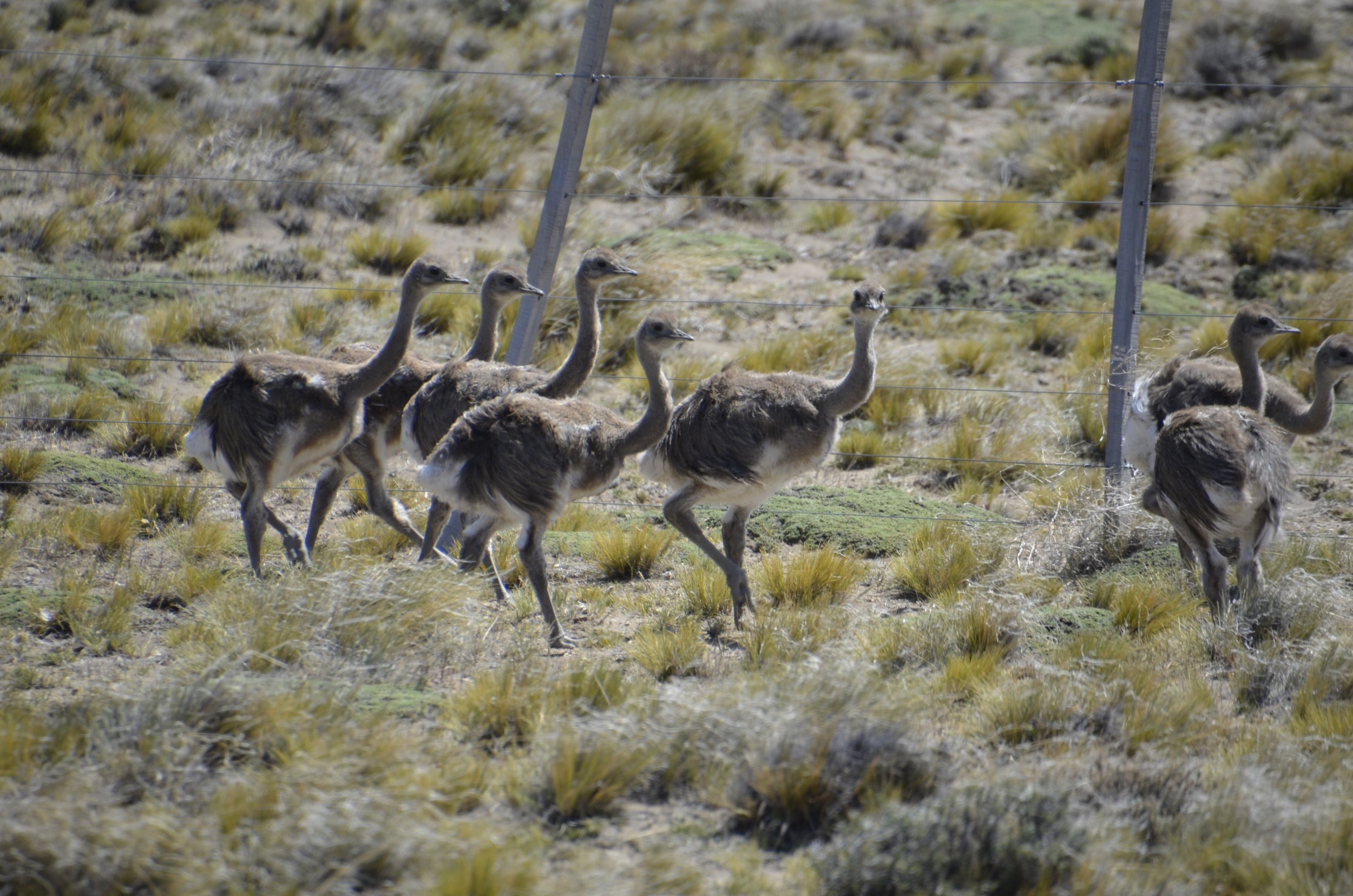
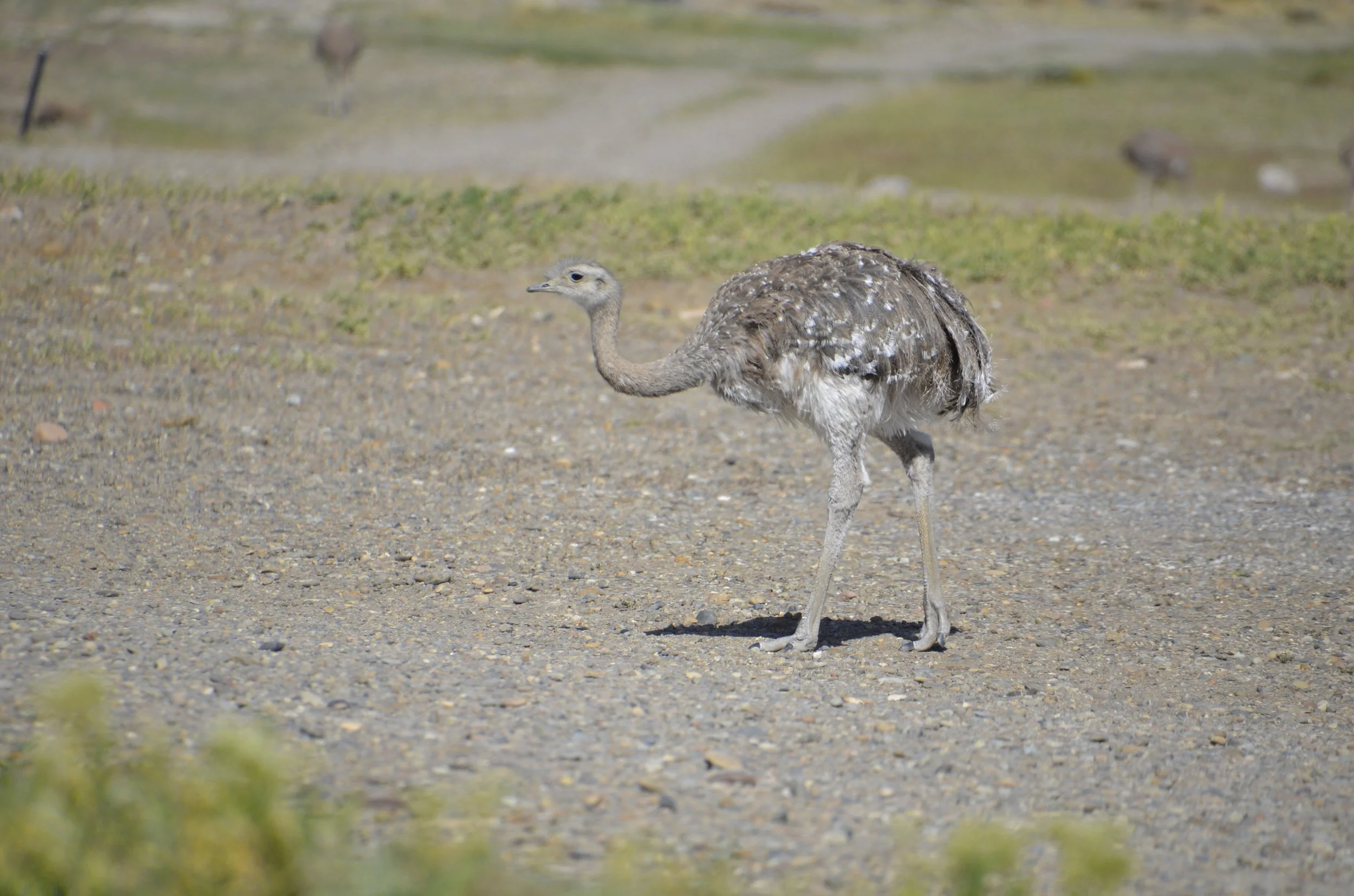
… and Rheas. These are Darwin’s (Lesser) Rheas and they live on the steppes of Patagonia, in both Argentina and Chile -

We were surprised at how fleshy the foot was -

In this species, the males incubate the eggs and raise the young. This was a large group of “adolescents”…

… that we surprised as we were driving by -

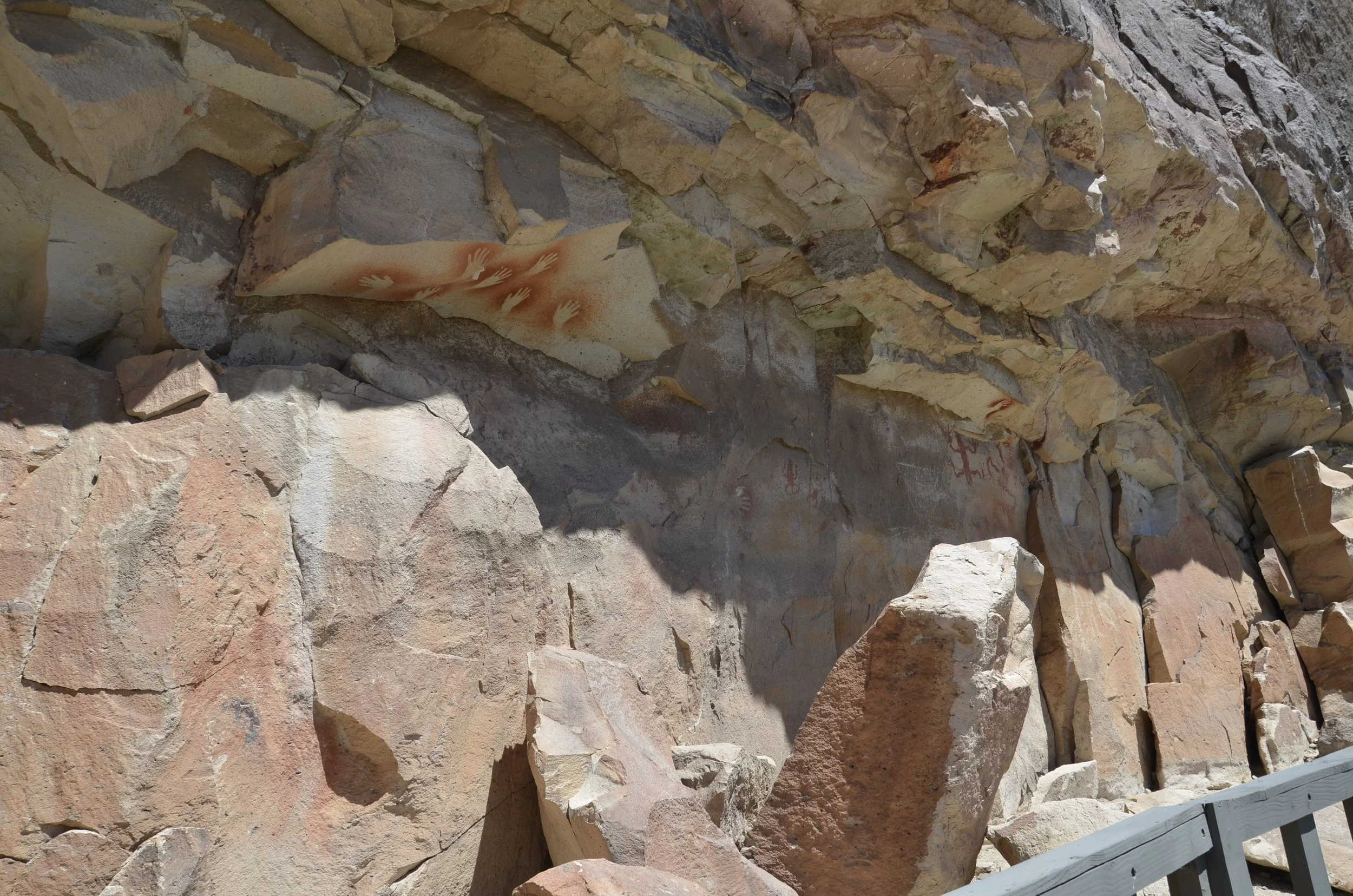
Our next destination was Cueva de Los Manos (Cave of the Hands)…

… and it was quite challenging to get to.

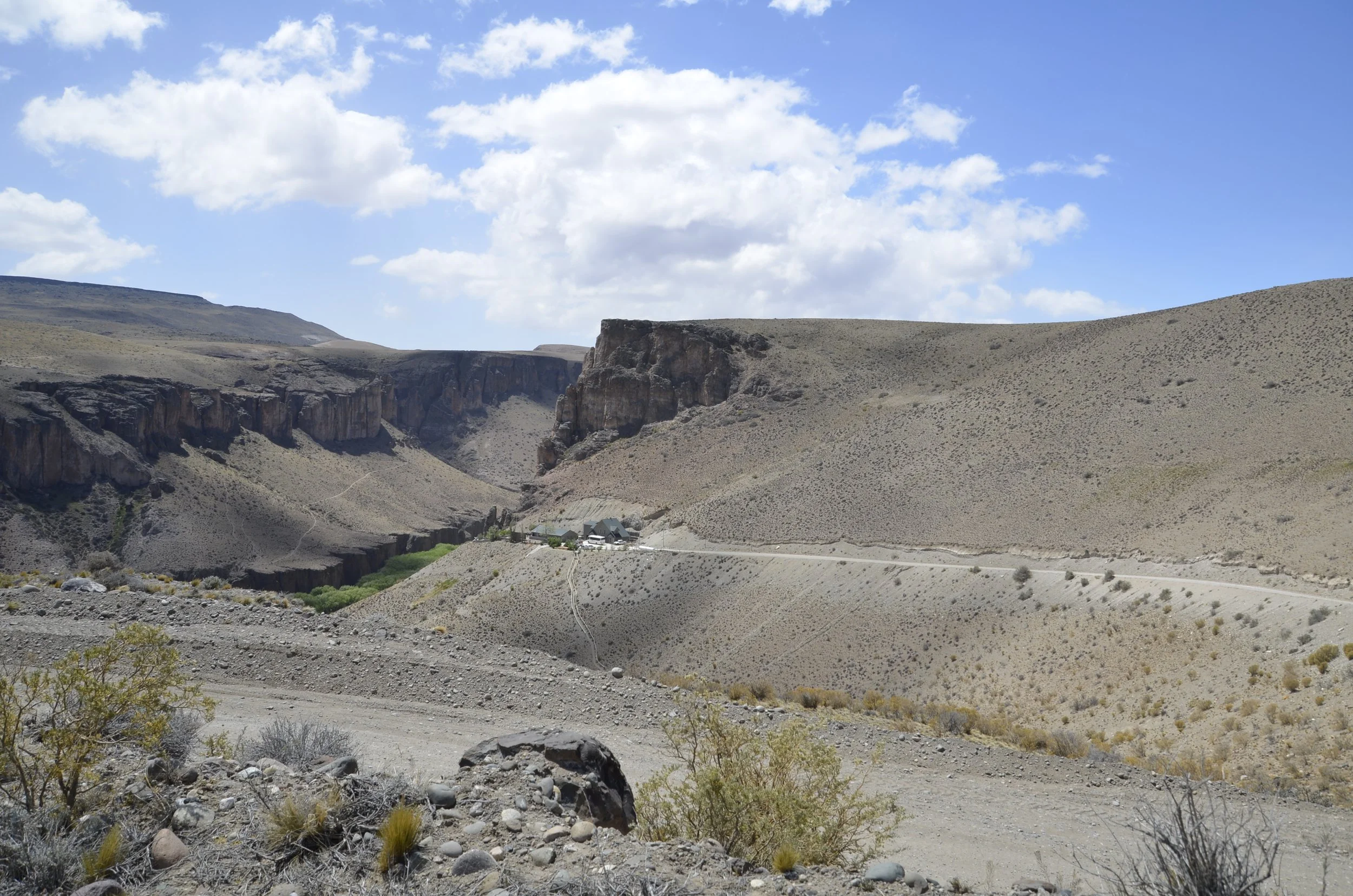
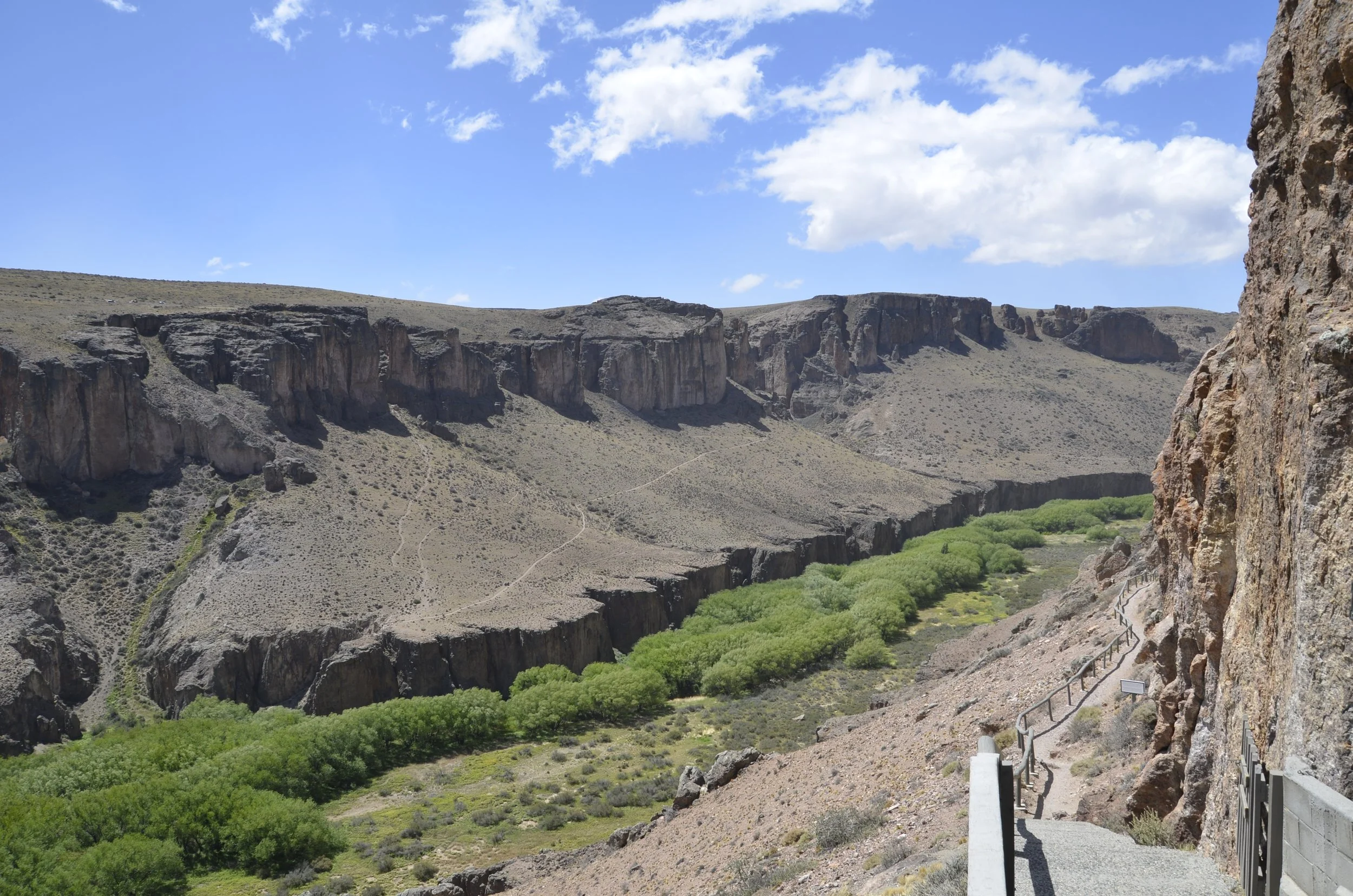
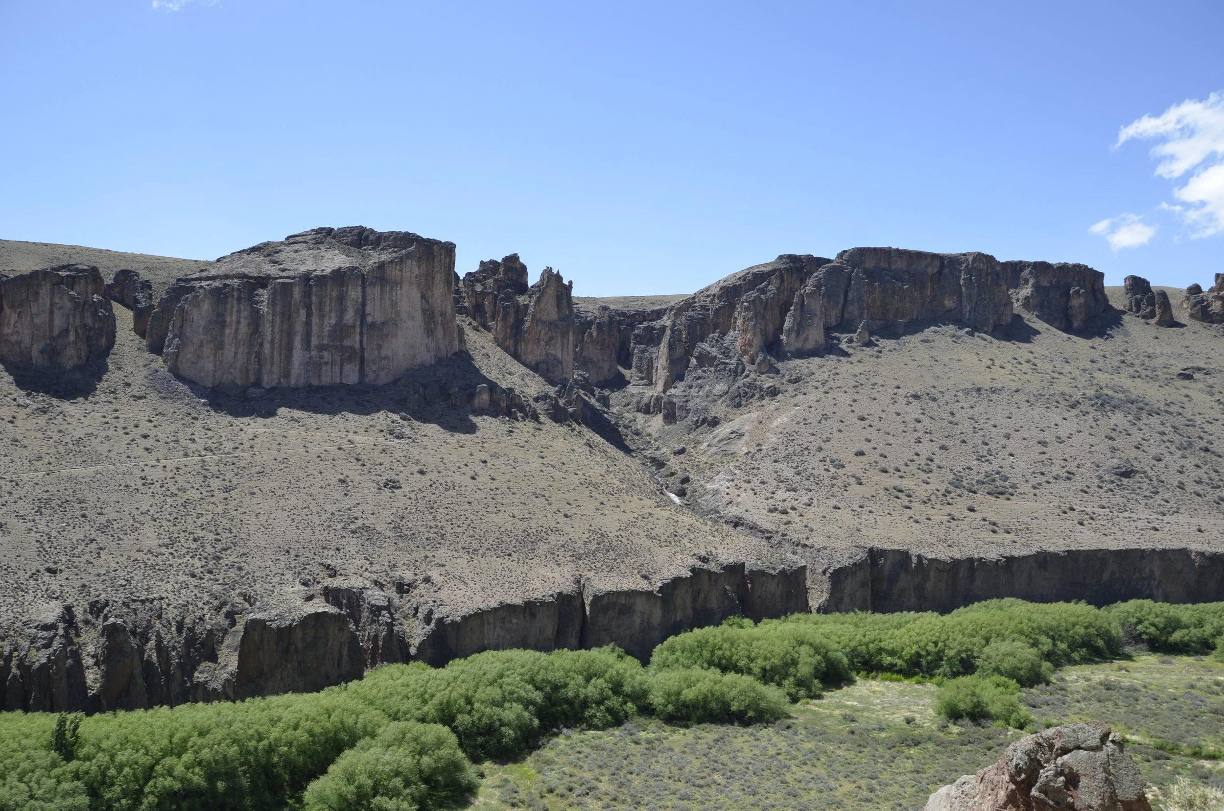
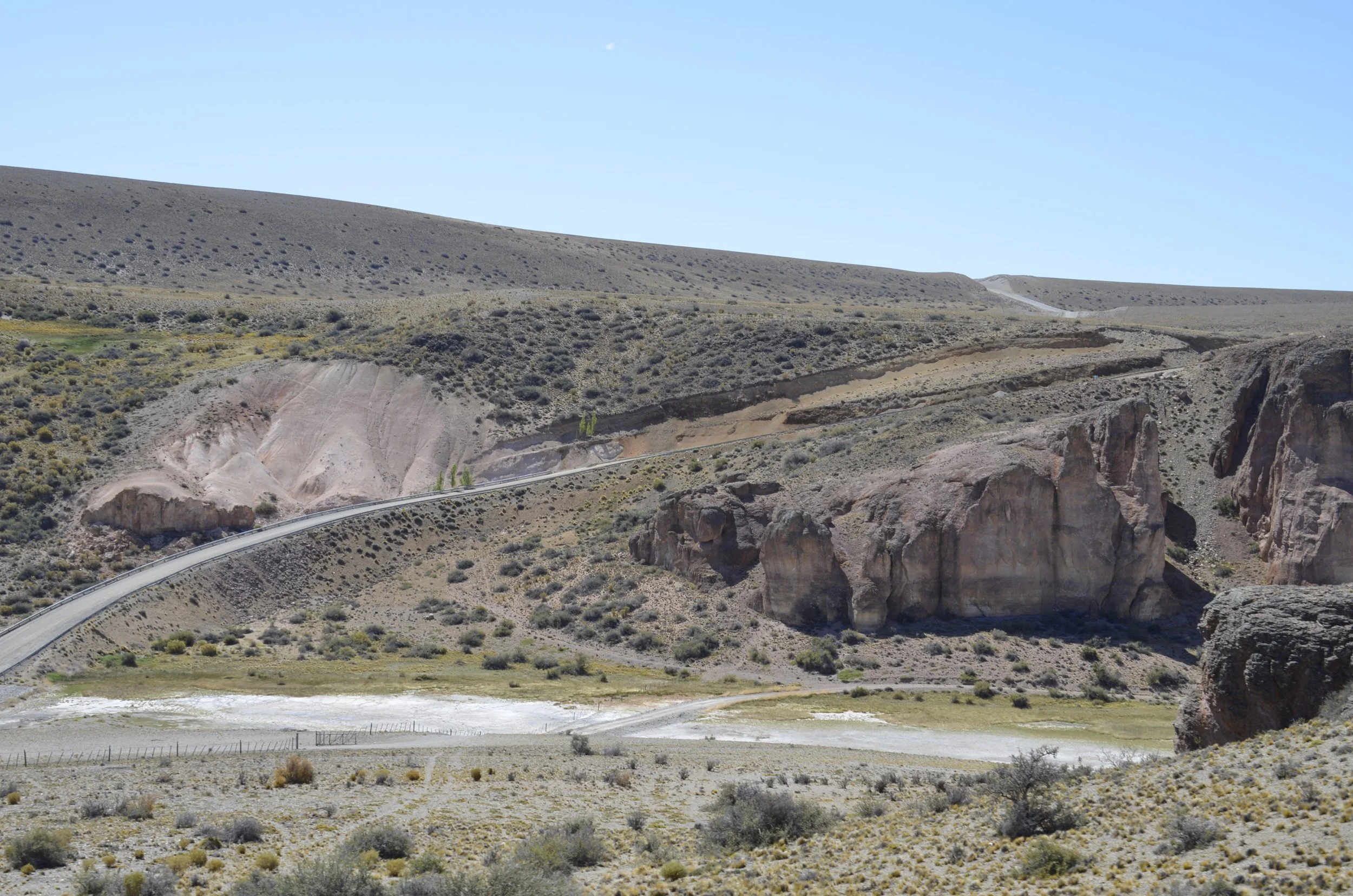
This is a glimpse into the canyon of the Rio Pinturas -

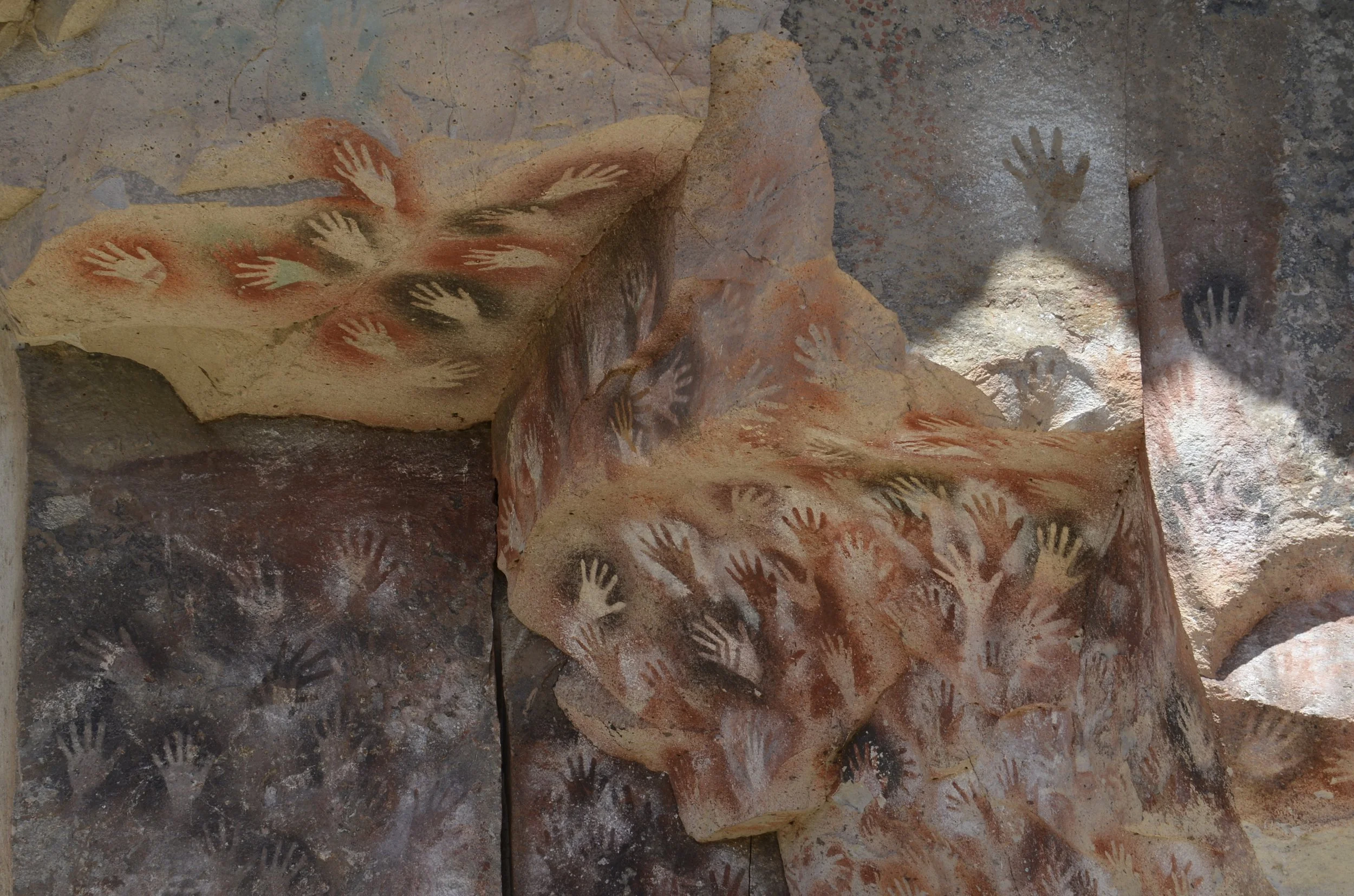
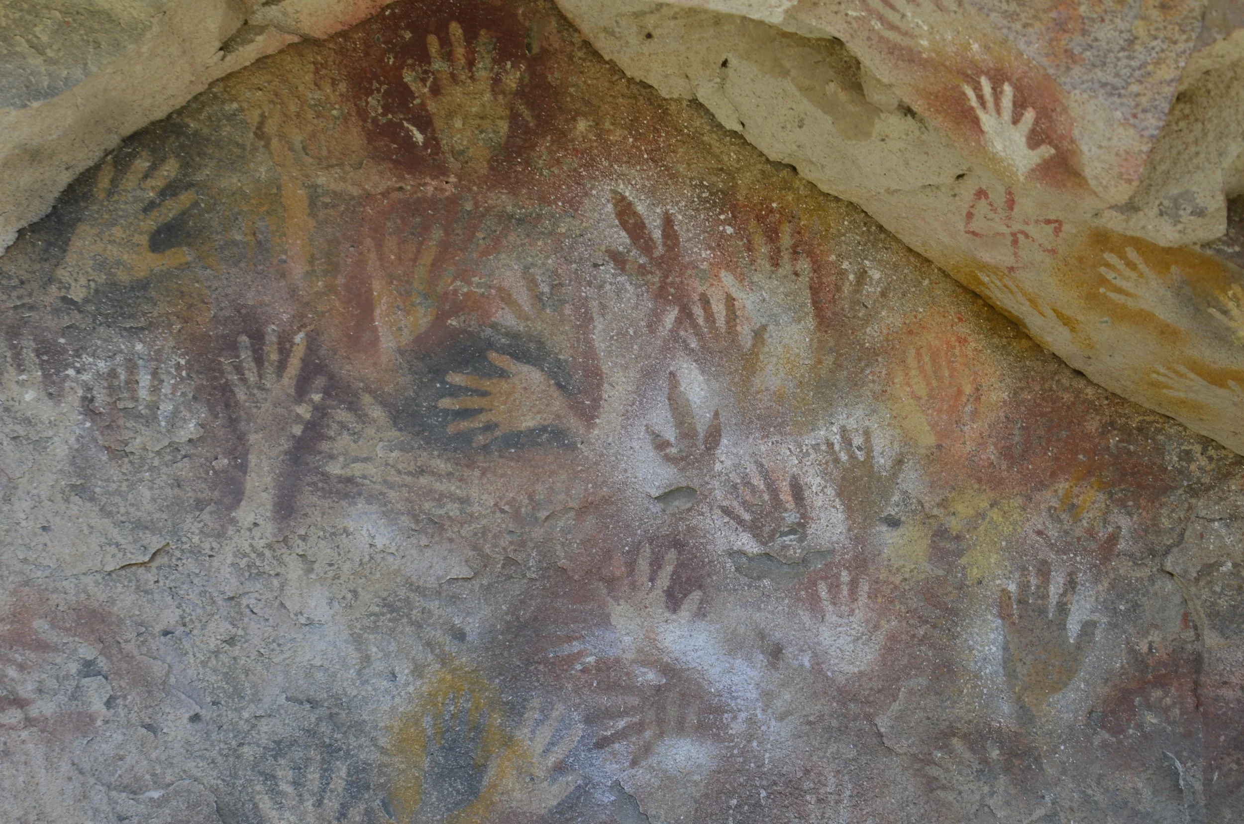
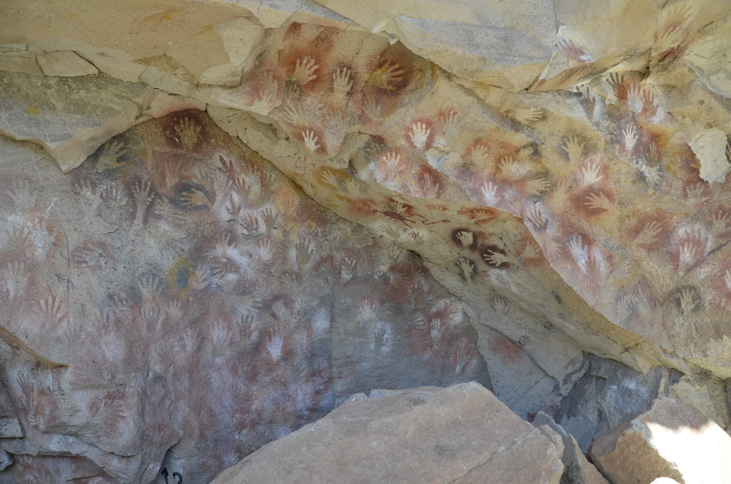
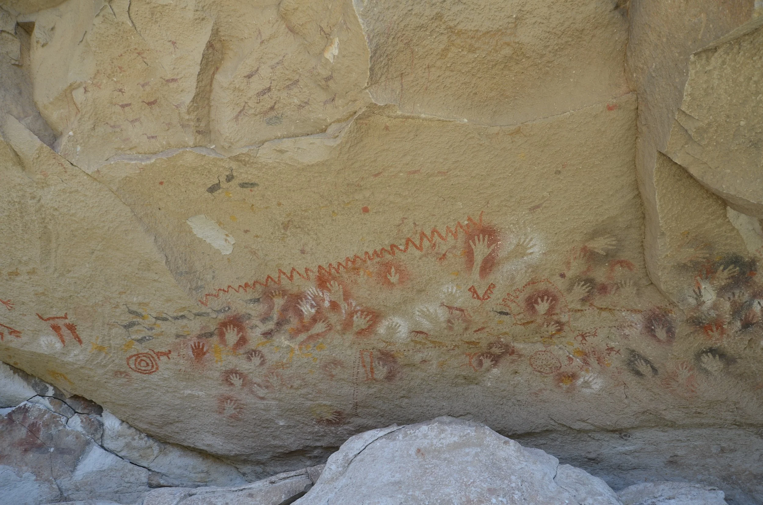
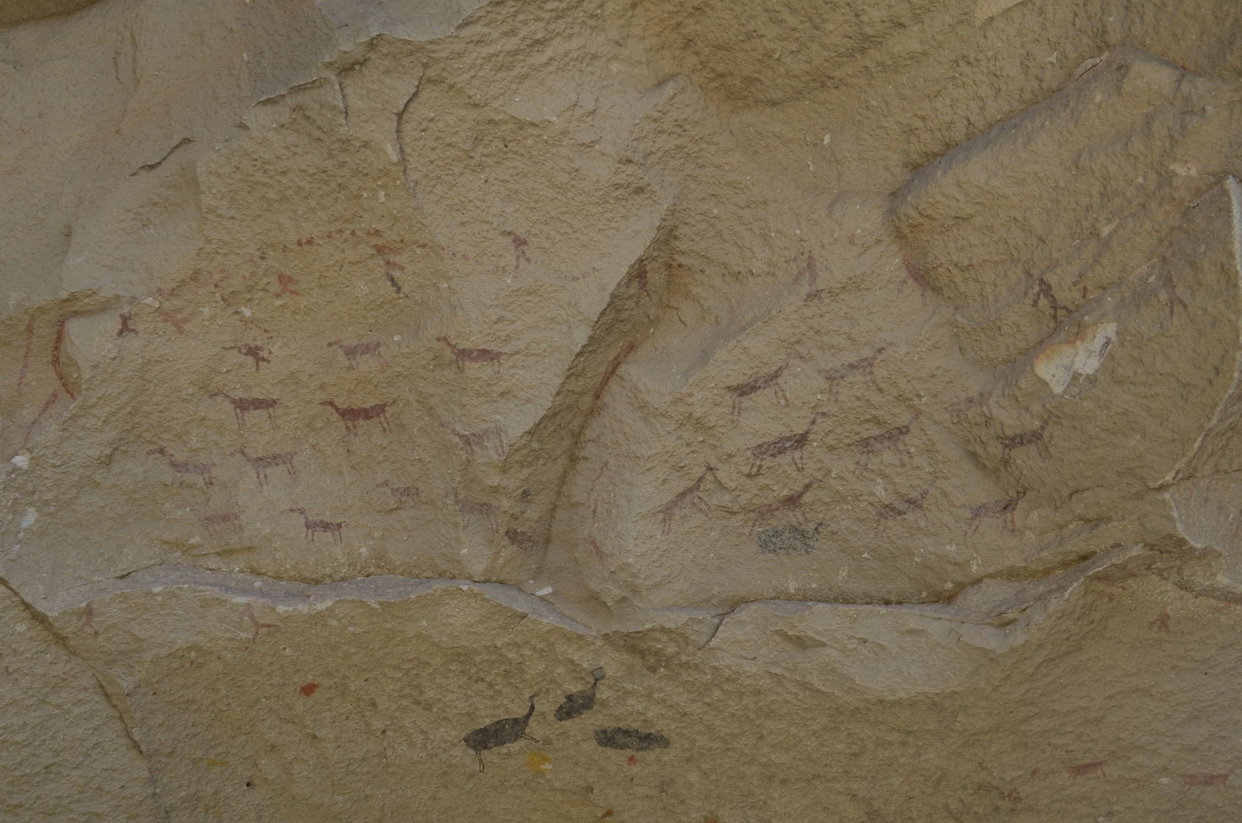
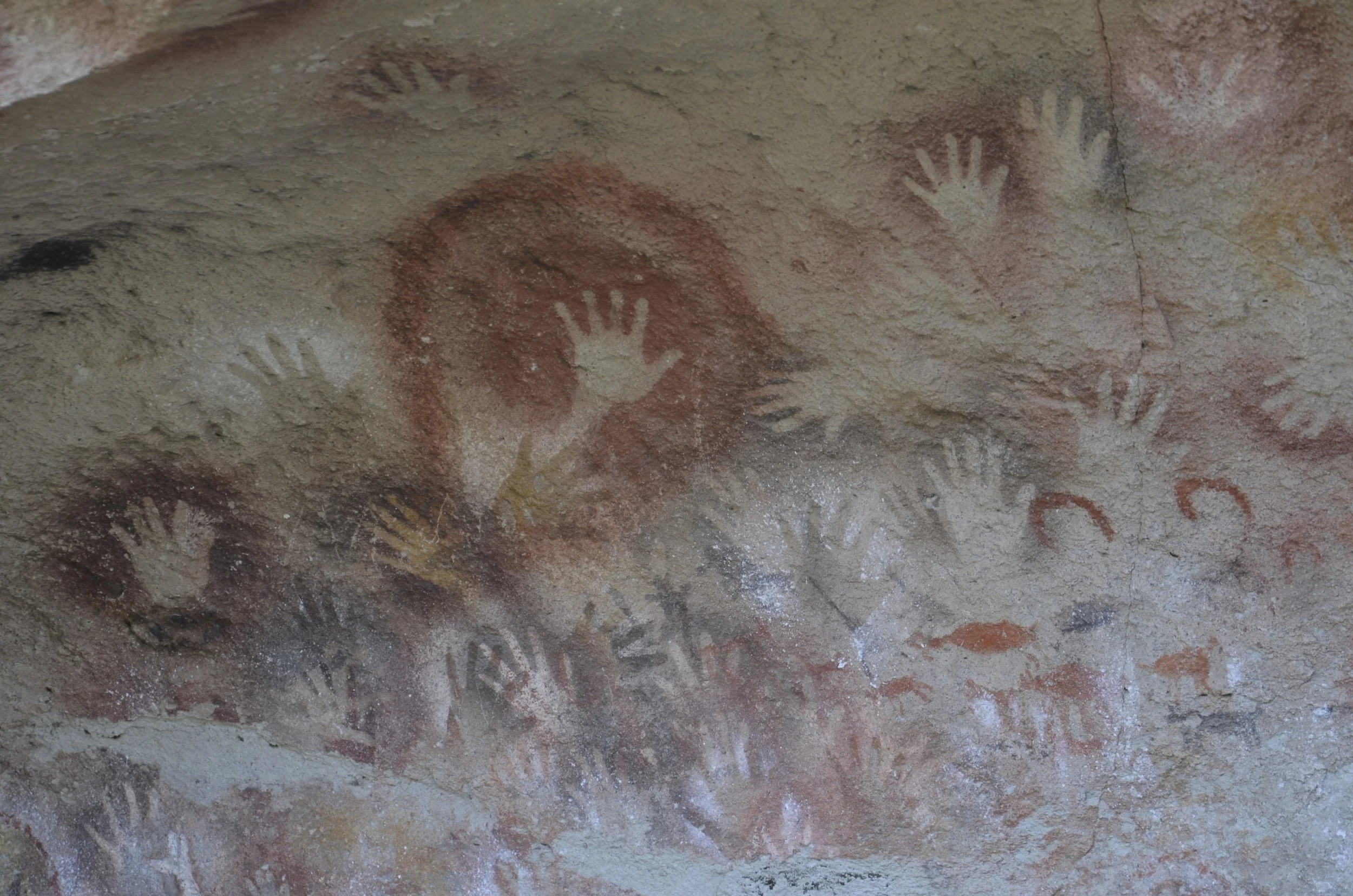
We had to go with a guided tour, but we learned quite a bit. These paintings are between 13,000 and 9,300 yrs old, and there has been no restoration here.

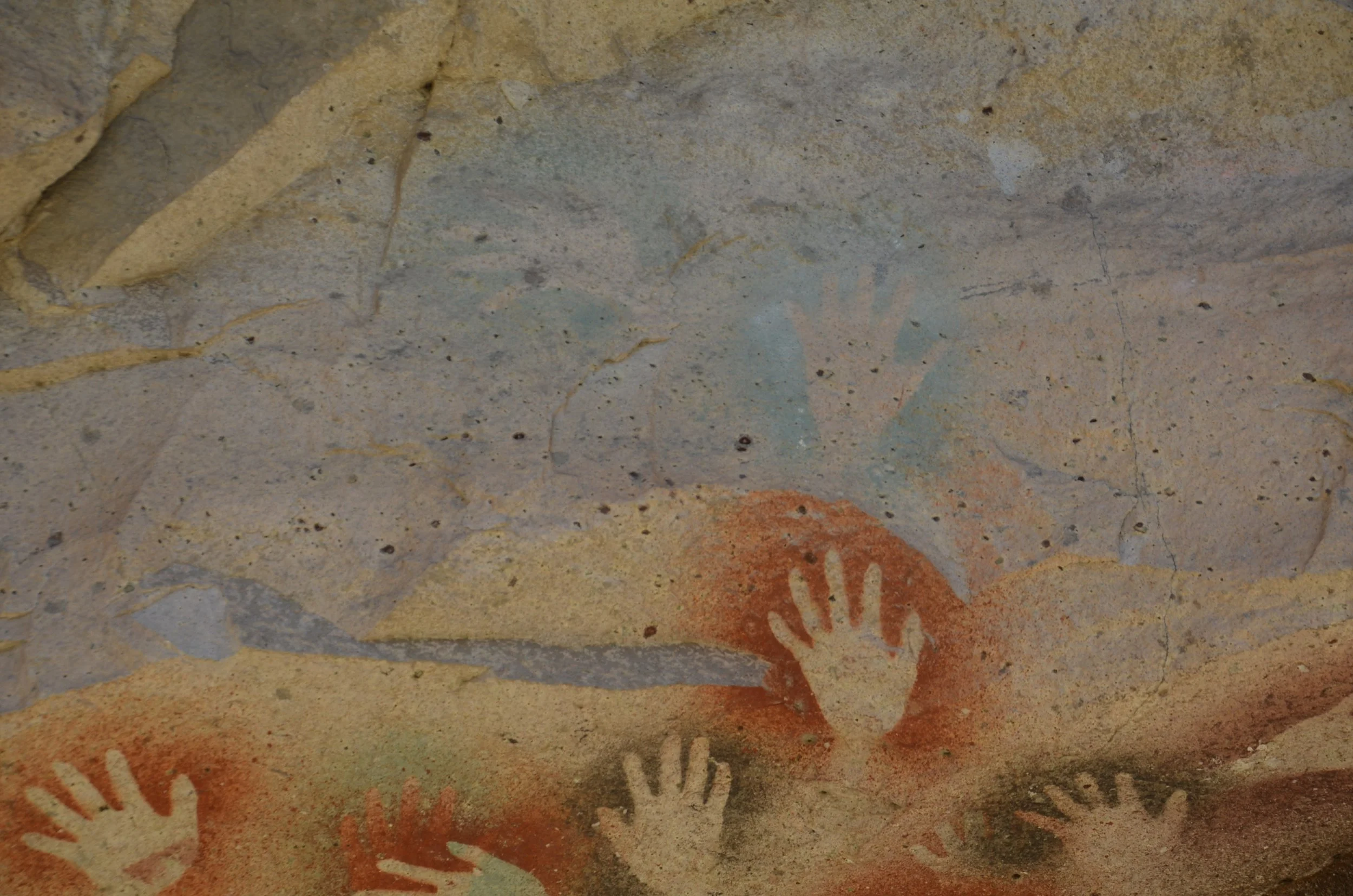
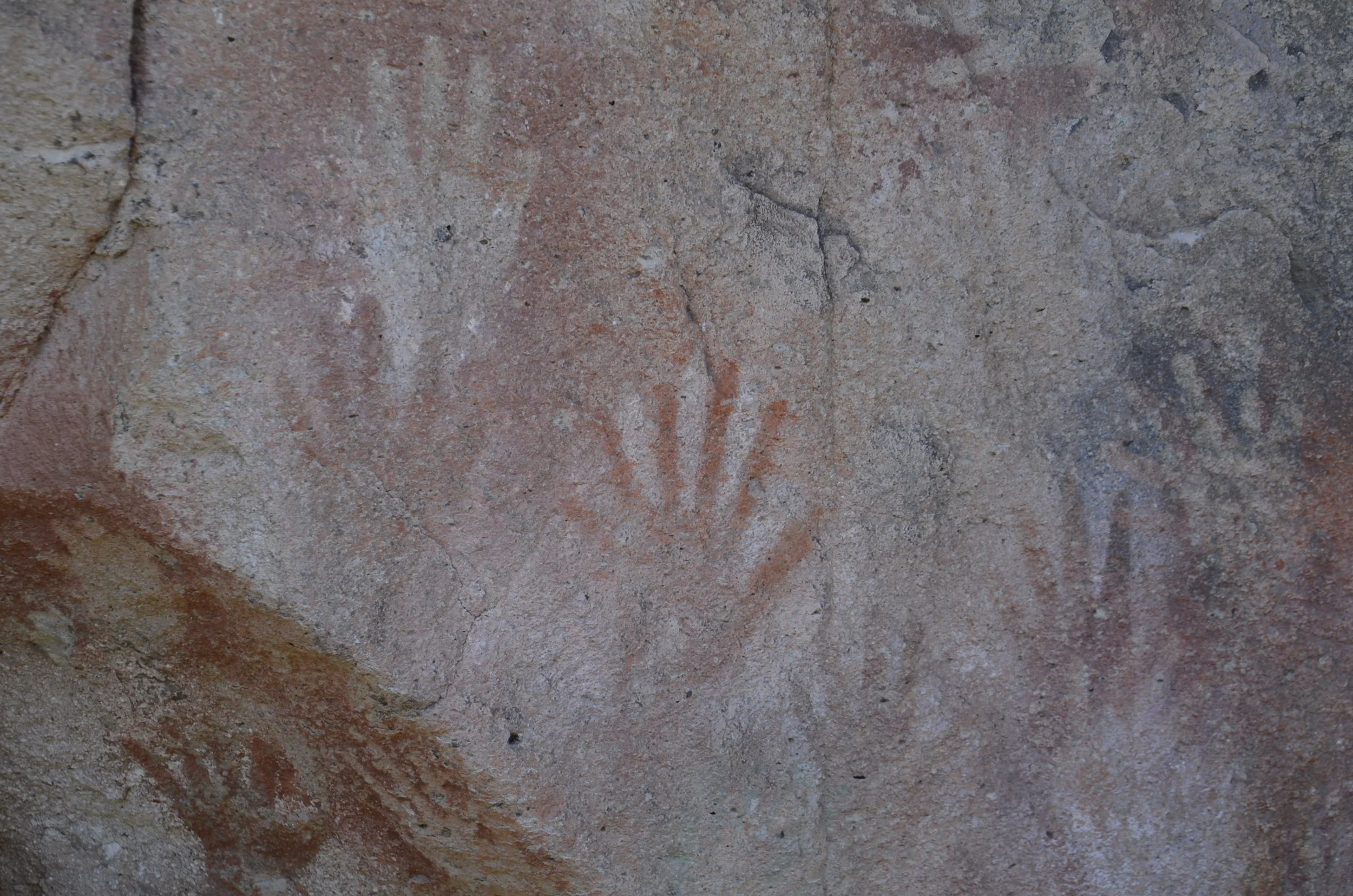
These are called “negative” paintings, because the hand is placed upon the rock, and the pigment is blown through a hollow bone over the hand.

The pigments are yellow/ochre (oldest), red (iron oxide), white (limestone), black (manganese or charcoal) or green (youngest). You’ll see samples of these colors in later blogs from a different/nearby site.

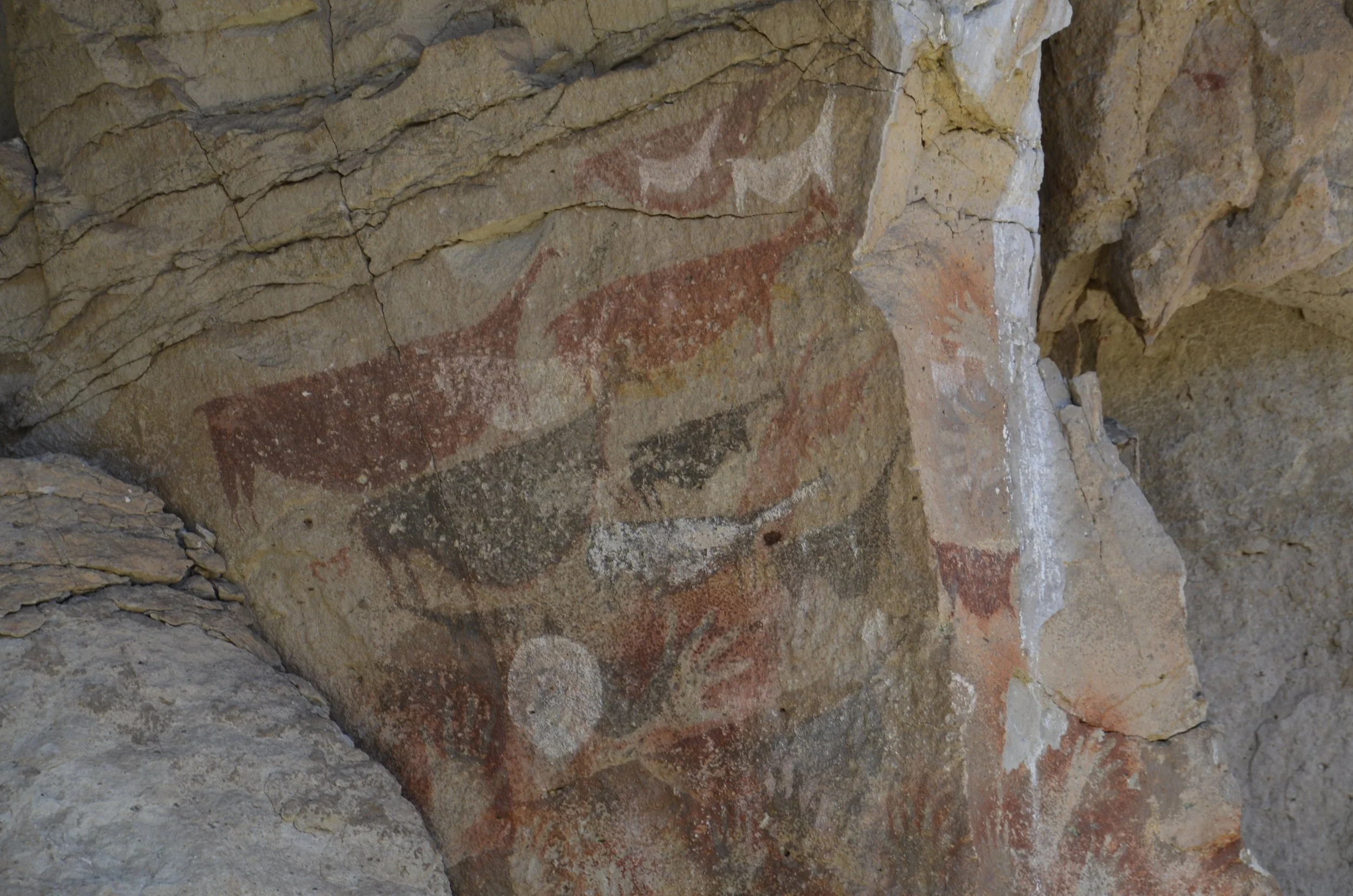
The guide told us that in the picture above, the guanacos are pregnant, and the white circle depicts the full moon, when they give birth.

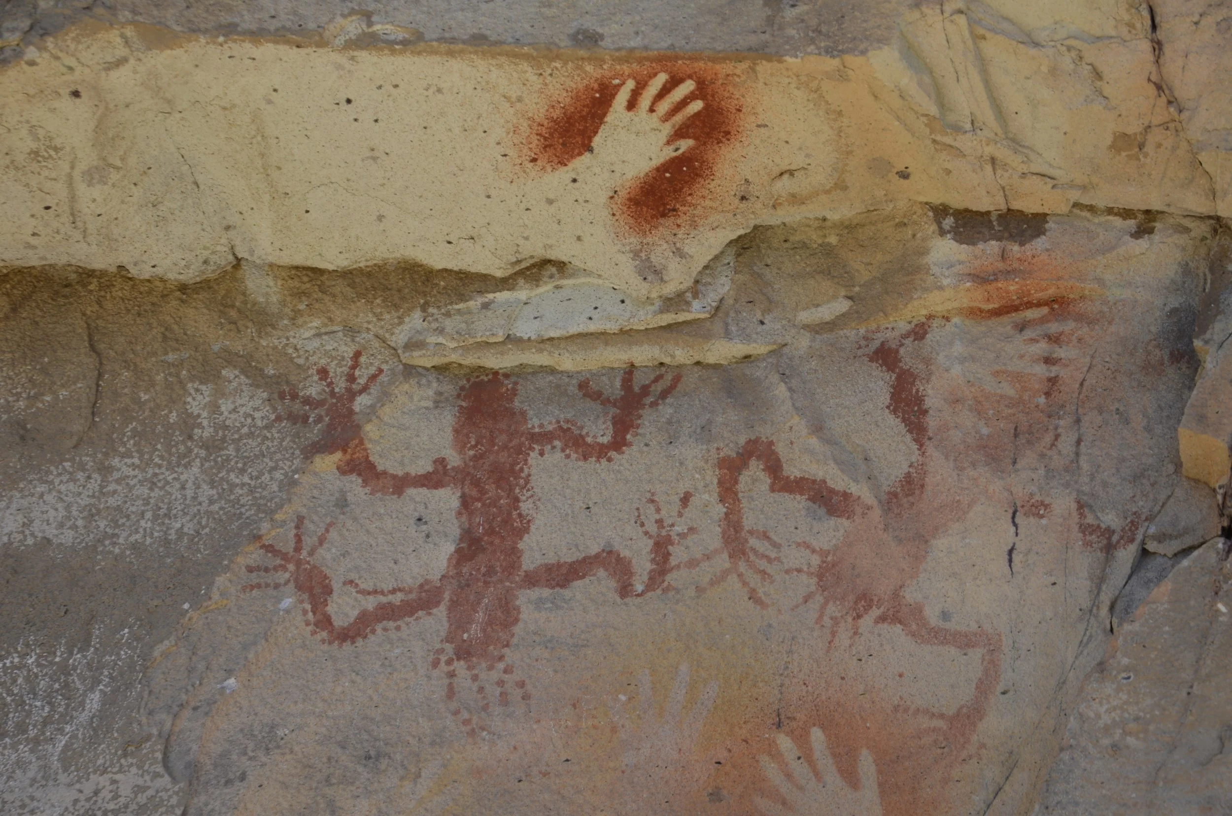
More recent drawings were more abstract, or depicted objects such as a lizard…

… that were painted onto the rock. The paint was a mixture of pigment, liquid (water, milk or blood) and some type of adhesive.

This was a look at how the site looked to us -

In this next picture, you can see the paintings of the Rhea feet (in the middle) -

I just loved the large panels of numerous hands -

The six-fingered man (oh no!) -

More recent panels had abstract depictions…

… and told stories of rounding up guanacos for a hunt -

The guide said that this large red circle around this hand meant it probably signified the shaman or elder at the time -

This was the valley that we were looking into as we walked along the rock wall with the art -

This is what the site looked like to us, as we toured. We were impressed with how close we could be (without touching, obviously) and how well it had been preserved, despite the harsh climate -

Just a quick explanatory note - these paintings are the oldest in the Americas, but there are negative paintings of hands like these that are 45,000 yrs old in Indonesia!

Quite the forbidding location — that’s all gravel road, despite the guardrails -

As we proceeded to our lodging for the next few nights, we passed some gorgeously colored hills…

… which were probably the location of the pigments for the paintings we saw. We actually stayed within the park…

… and had rheas near the front porch -

G’night from the desert -

Laguna Torre and Onwards

Our next day in El Chalten was cloudy, blustery and threatening rain. Far be it for these intrepid hikers to turn down an “easy” hike to supposedly stellar views. We started with our quarry in our sights…

We were aiming for the cloud covered peaks in the center of the picture above. That was supposed to be Cerro Torres. You might remember I had it pictured as the single spire in the last post.

As we ventured further along, you could at least see the glacier that fed the laguna we were heading for -

This was the best picture I got of Cerro Torres (you can just make out the top of the spire above the clouds, on the right) -

So, like in French Valley, since we couldn’t see the big picture, I focused on the details, like Lady’s Slipper Orchids…

… and the Firebush flowers -

The sun came out occasionally…

… and I could sneak a peek at some blue hints in glacier snow…

… but overall it was a pretty boring walk/hike. We knew it was a little over 12 miles out and back (“only” 12, compared to the 14+ of the day before!), and had only 800 ft of elevation gain.

As we neared the lake (up over that rocky/sandy ridge on the left)…

… the wind was really picking up. There were times when we were nearly blown over or backward by gusts, especially if they caught you with one foot raised. There’s no way I could get video of this to portray the howling winds, but just know that the following pictures were taken by hiding behind boulders, waiting for a slight lull…

… and then sticking my head and camera out to try and get a shot.

I just loved this impression -

On our way back, we were able to see a valley that we couldn’t on our initial pass through -

Six and a half hours later, we were glad to be finished!

Leaving El Chalten behind, we headed back into the barren landscape of the steppe…

… where desert co-exists with empty turquoise lakes, and guanacos thrive -

We drove about 180 km on gravel roads, with views like this…

… until we reached this side road that was to lead to the estancia (ranch) where we were spending the night -

Google Maps was telling us that it was just 4 km away, but we could see nothing. We rounded the end of that mesa you can see in the picture above, and found…

… an oasis - complete with flamingoes!

The estancia was tucked in behind the ridge…

… and had seemingly endless acres of water and grass in front of it -

There was even a family of Upland Geese -

That night, along with a Canadian motorcycle “gang”, we had fresh roasted lamb that had probably been with its mother that morning. (The gang was a group of 8 retirees on a multi-week curated tour.) -

I’ll close with a peaceful, “golden hour” scene -

El Chalten

This town is the “Capital of Argentina Trekking”. On the drive from El Calafate to El Chalten, we kept passing gorgeous blue lakes…

… with desert on our side, and snow capped mountains on the other -

I just loved the clouds in Patagonia. They were in shapes I’d never seen before. Maybe because of the constant high winds? Whenever I got out of the truck to take a picture, I had to be really careful not to let the wind literally rip the door off. We were warned about this when driving in Iceland, but they have nothing on the winds of Patagonia!

As we approached El Chalten…

… we got a hint of what we’d be exploring in the next few days -

The tall towers in the middle belong to Mount FitzRoy…

… and the spire on the right in the picture below is Cerro Torre -

Little did we know that was the best look we were ever going to have of Cerro Torre. I’m so glad I kept to my vow of always taking a picture when I have a chance, for I can always delete poor pictures later, if I get a better one.

That evening, the clouds were doing an amazing dance…

… that became surreal with sunset -

Our next day dawned gorgeous and clear, so we headed out early to hike to Laguna de Los Tres (the lake at the foot of Mount Fitzroy). Our stats for that day : 14.5 miles total hiking in just at 8 hrs, with 2500+ ft of elevation gain. It starts innocently enough…

… and we soon were overlooking a wide valley with Las Vueltas River in it -

About halfway along the trail, we saw our goal for the first time -

The hanging glacier in the bottom right of the next picture…

… had an awesome waterfall cascading from it -

Continuing on…

… we got to cross a marshy area on an interesting “boardwalk”…

… and see a cloud that looked like the feathered ends of a bird’s wing -

This one-person-at-a-time “bridge”…

… was right before a sign that said in the last kilometer, there is a 400m ascent. Estimated time to complete this 40% grade was 1 hr…

… and we did it in just that!

Rather than staying on that first ridge, where we first caught our breath, we headed down to the lake shore…

… where I kept looking for reflections…

… found pretty boulders…

… and took tons of pictures of snow fields -

Of course we had done our research ahead of time, and knew to hike “only 15 more minutes” up a small hill to the left of the laguna, to find…

… a second laguna that was just off the charts on blueness, complete with its own waterfall -

This was our view for lunch, which we had for over 20 minutes all by ourselves! (reminder again, open this email in your browser to be able to see the video) -

Also included was a neat cloud -

Steve took an awesome panorama so you can share with us the beauty of this place -

We were so thrilled with the weather conditions, the lack of crowds, and how good we felt even at the end, that this goes into the books as one of two of our favorite hikes of our lives!

Perito Moreno Glacier

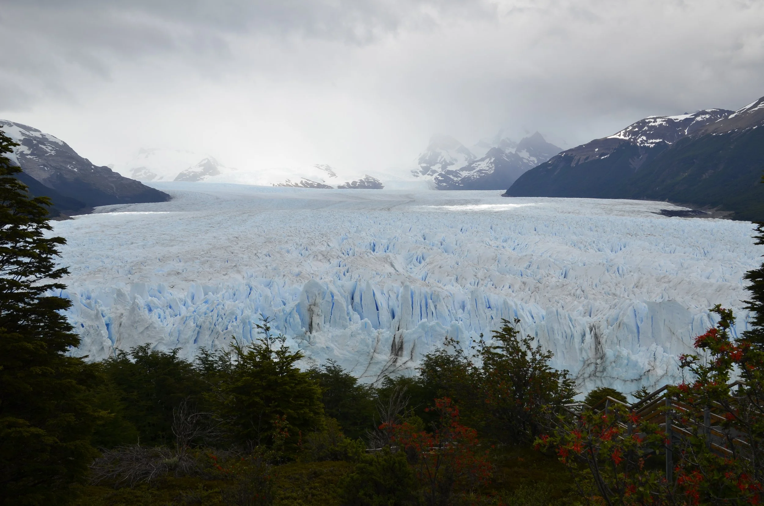
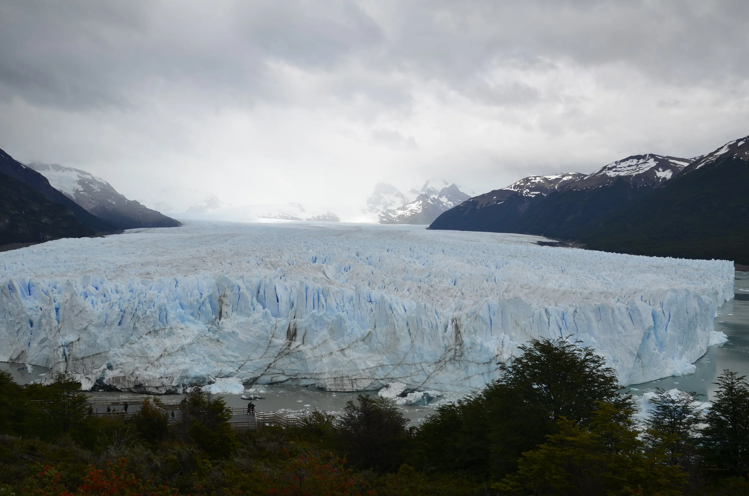
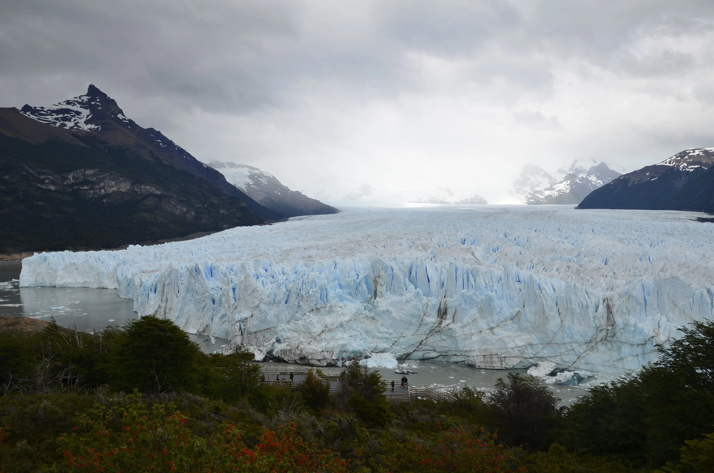
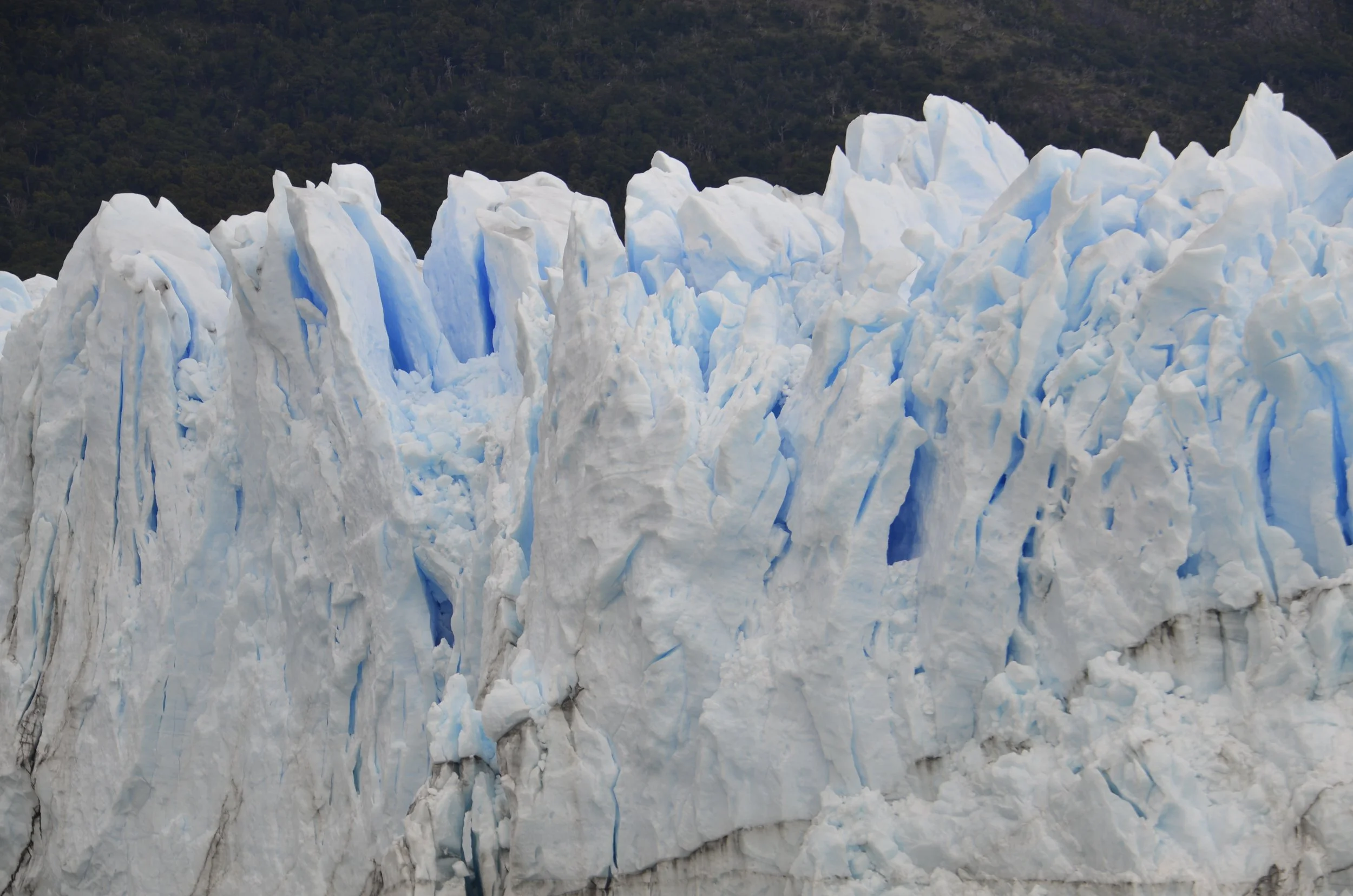
This one is truly massive! (~100 square miles)

It is 19 miles long and 3 miles wide (at its terminus) -

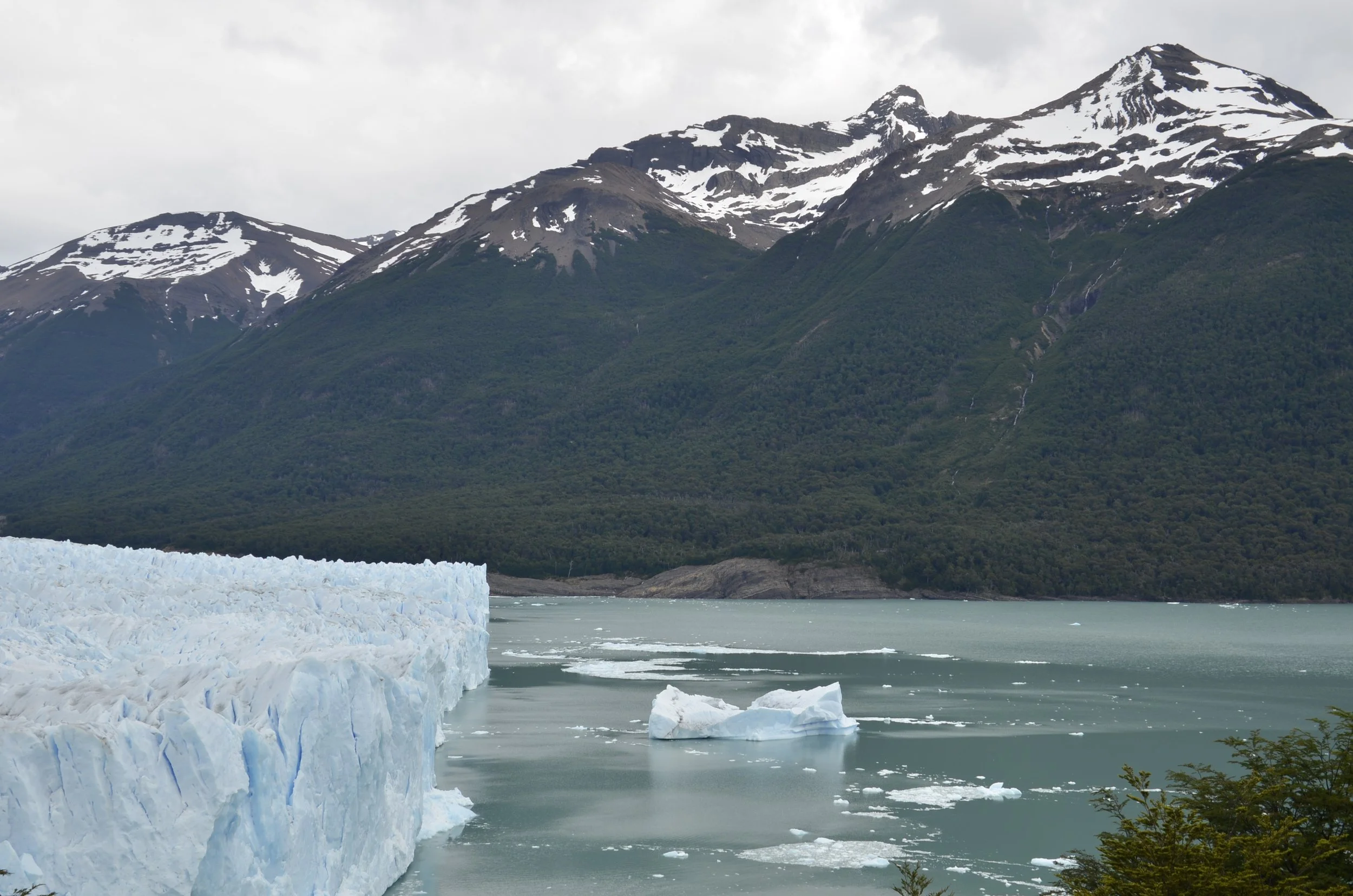
The boardwalks at the bottom of the picture can give you a slight bit of scale. This is the other side -

The surrounding mountains were beautiful -

The sun broke through the clouds only rarely, but I tried to capture it occasionally -

This was my favorite location, at the “corner” -

See the dark pieces of ice in the water? Do you remember what we learned in Antarctica?

They are super old, from the bottom of the glacier, and have had all the air compressed from them -

I kept searching for the reflections…

… but it was difficult on a dreary day.

The streaks of blue definitely kept drawing my eye (and camera) -

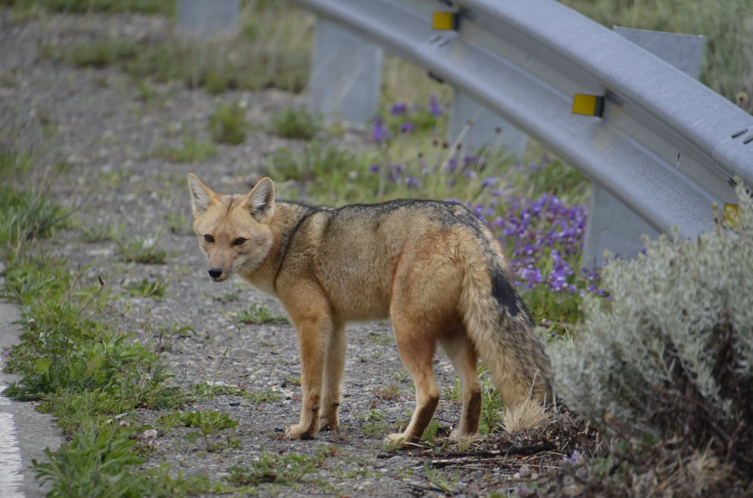
As we left the park, we had a lucky encounter with one of the residents…

… that decided to stop and pose -

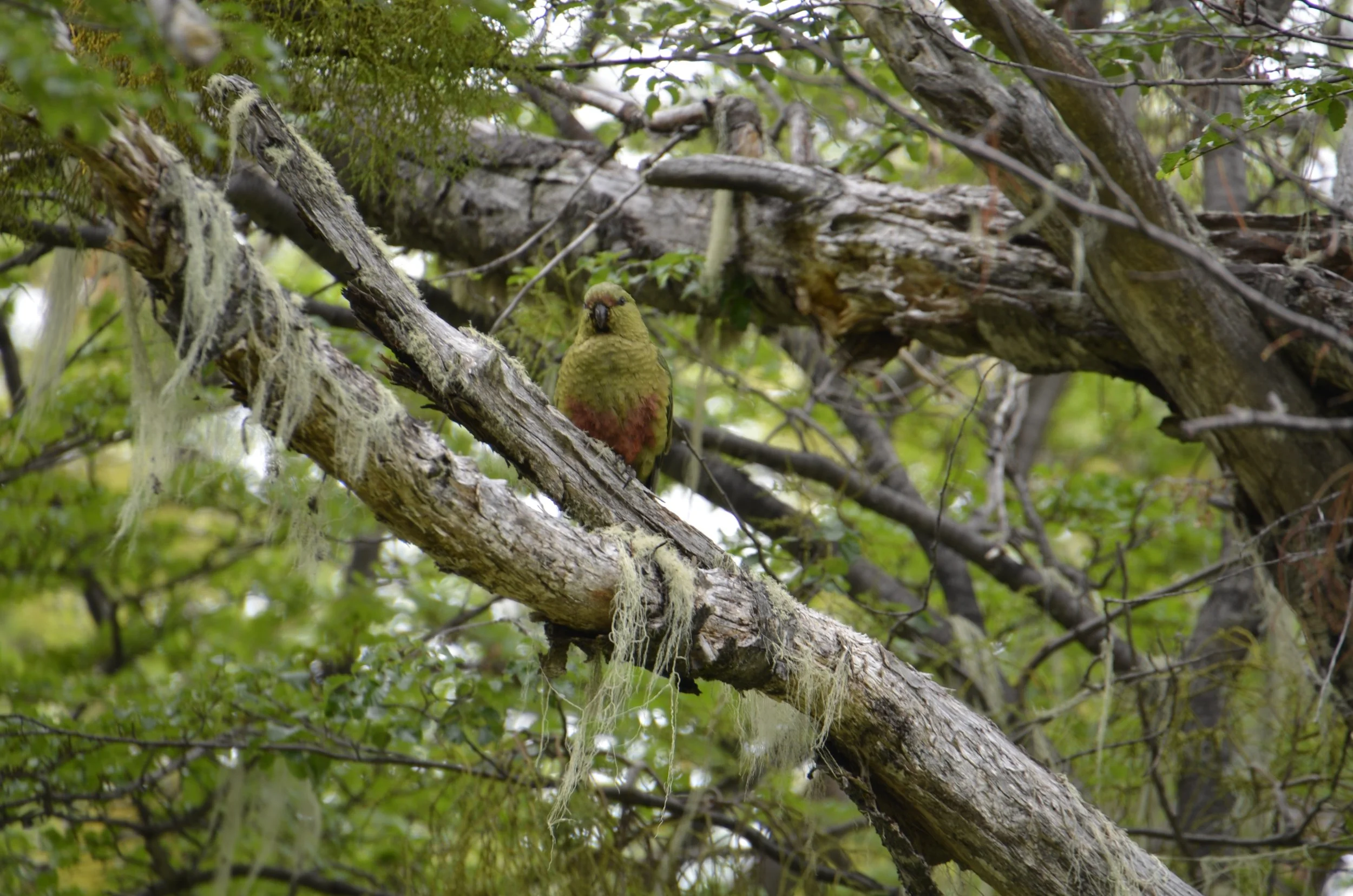
Since I’m sure you expect at least one bird per post (?!), this is an Austral Parakeet, the southernmost parrot in the world -

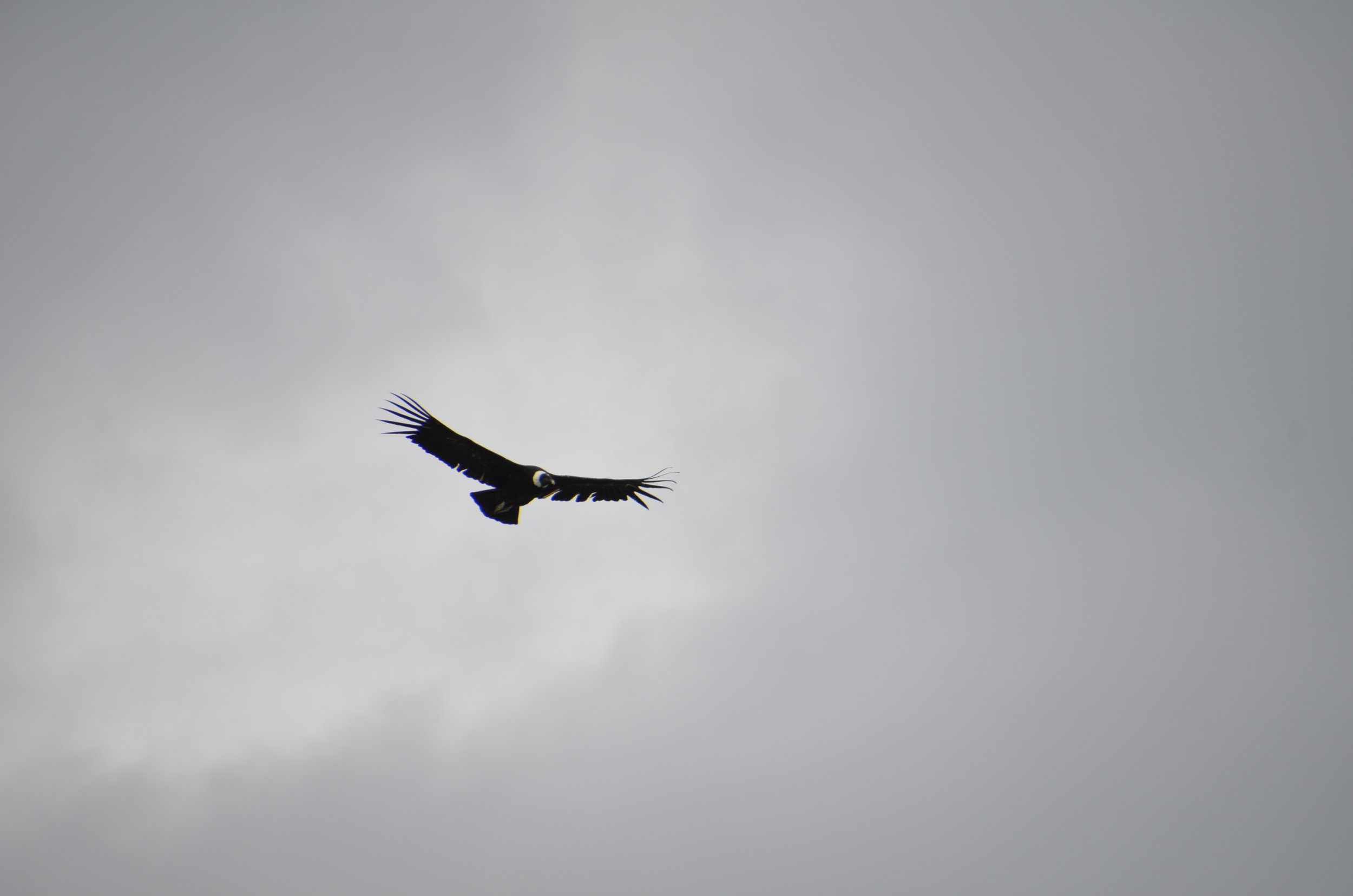
… as well as our favorite Andean bird -

yep, a Condor

This view from El Calafate, over Lago Argentino (the largest lake in Argentina), looks almost like an Impressionist painting -

Next up… more hiking!

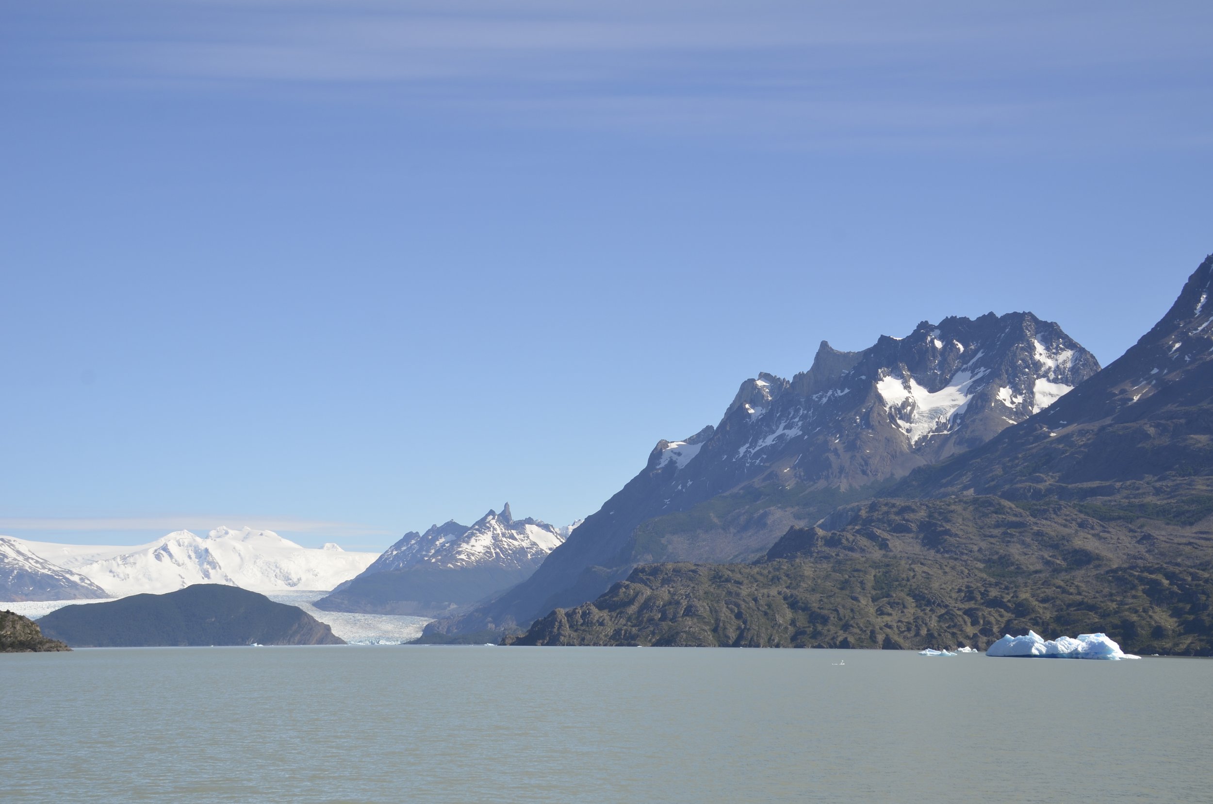
Grey Glacier & on to El Calafate

We stayed at a hotel within Torres del Paine National Park that was on Lago Grey, so the day we left the area, we were able to go on the boat to tour Grey Glacier.

That was the view from our hotel. As we walked along the beach, we could see a bit of the glacier, as well as icebergs from it.

As the boat got closer, we could see the two arms of the glacier…

… and my favorite - - reflections!

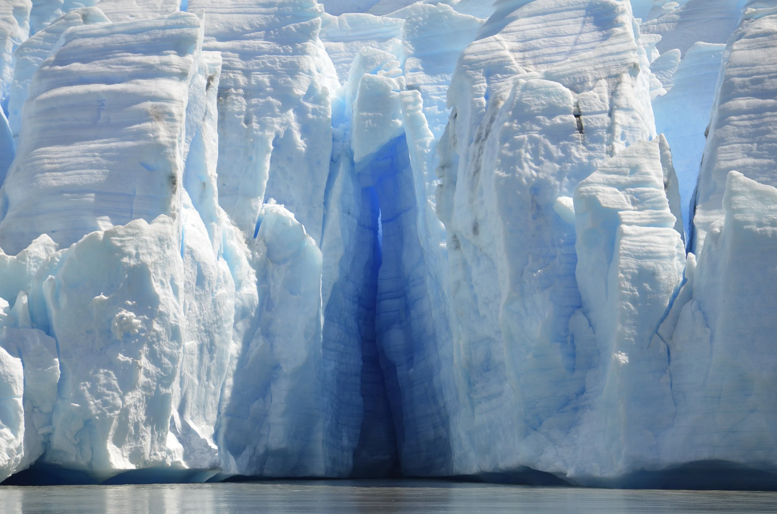
I loved all the different colors - brown, green, white, blue…

Just a pretty juxtaposition:

Looks like some kind of Pokemon to me(!)…

… and I really liked the contrasts -

Here’s one just to give you a little scale -

What a view!

This looked like a chapel to me -

This next one has a number of neat things (very interesting rectangular face, blue light peeking through in the upper right, and scalloped edges of the ranks extending back) -

Even though I think of the black as being “dirty”, it provides a neat contrast to the white and blue -

As we bade goodbye to Torres del Paine…

… we came into areas that were completely different -

a whole lot of nothin’!

As we meet the denizens of the desert…

Guanaco and Darwin’s Rheas

… I’ll bid you adieu -