Lanzarote
Lanzarote is a fascinating mix of agriculture and volcanoes.
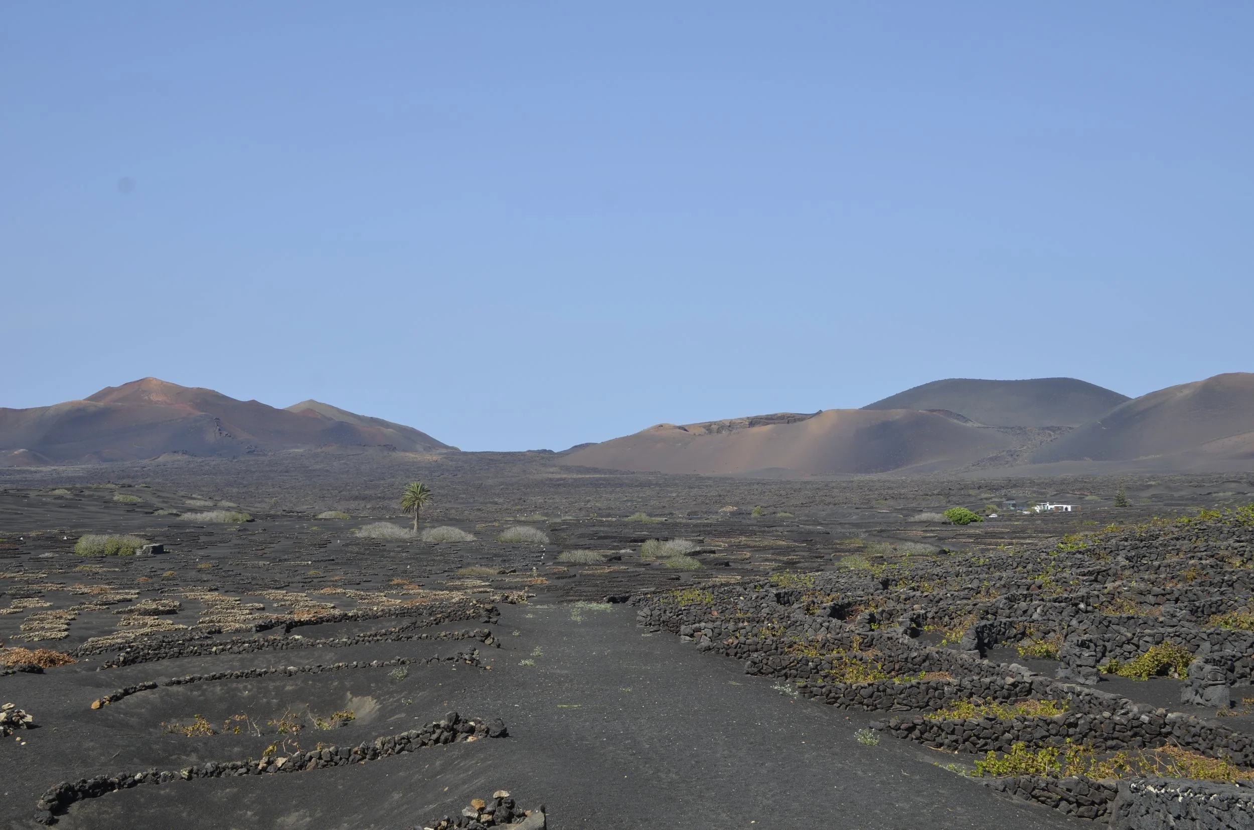
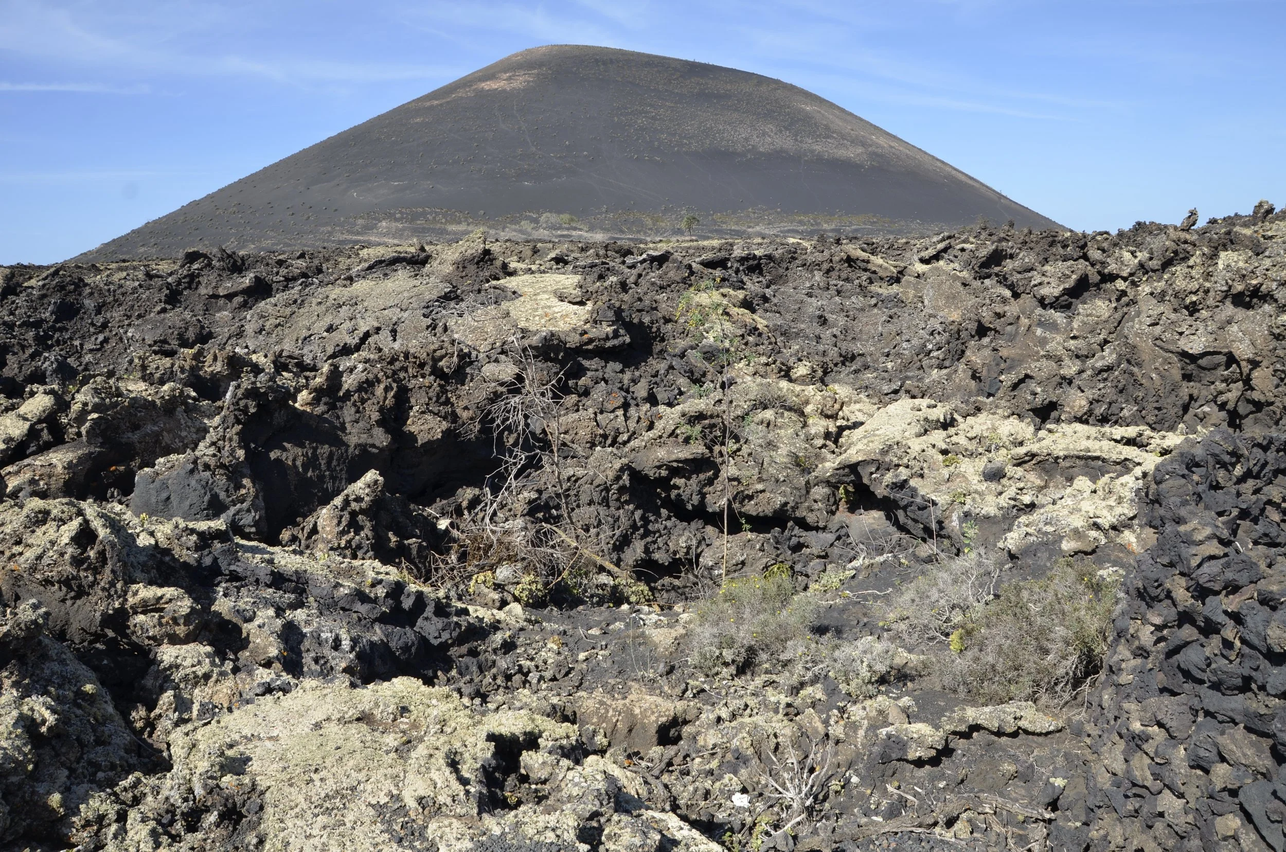
The valley in the middle of the island was a very rich agricultural region until devastated by the Timanfaya volcano that erupted for 6 years between 1730 and 1736. After the people dug back out from under the “ash”…
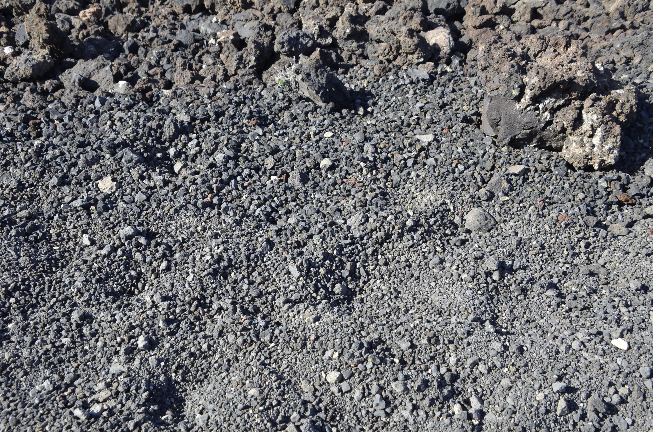
… (which actually looks like tiny pebbles), they found that in places, the still rich dirt was only slightly covered by ash…
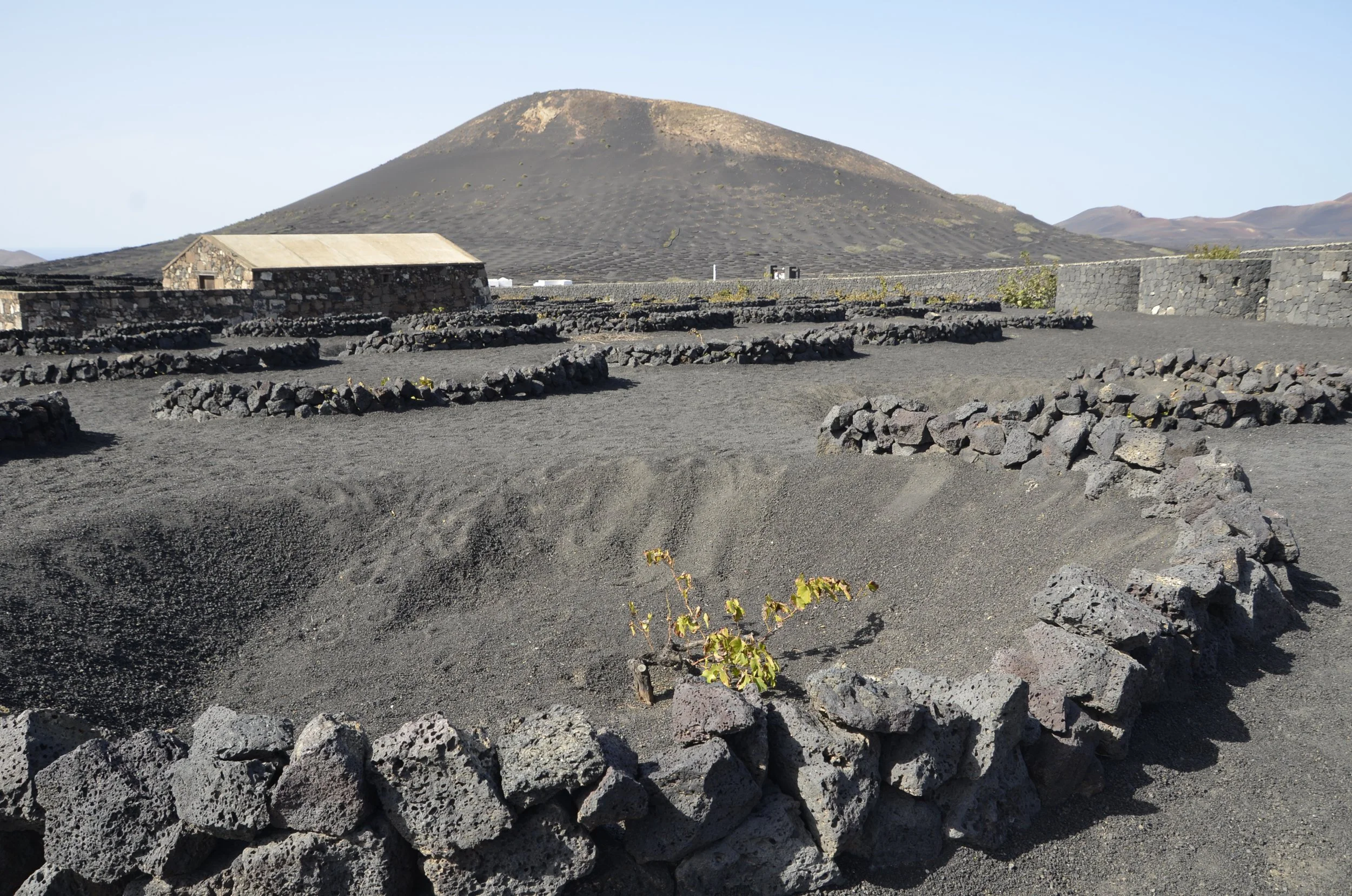
… but in others, they had to dig deep to find dirt -
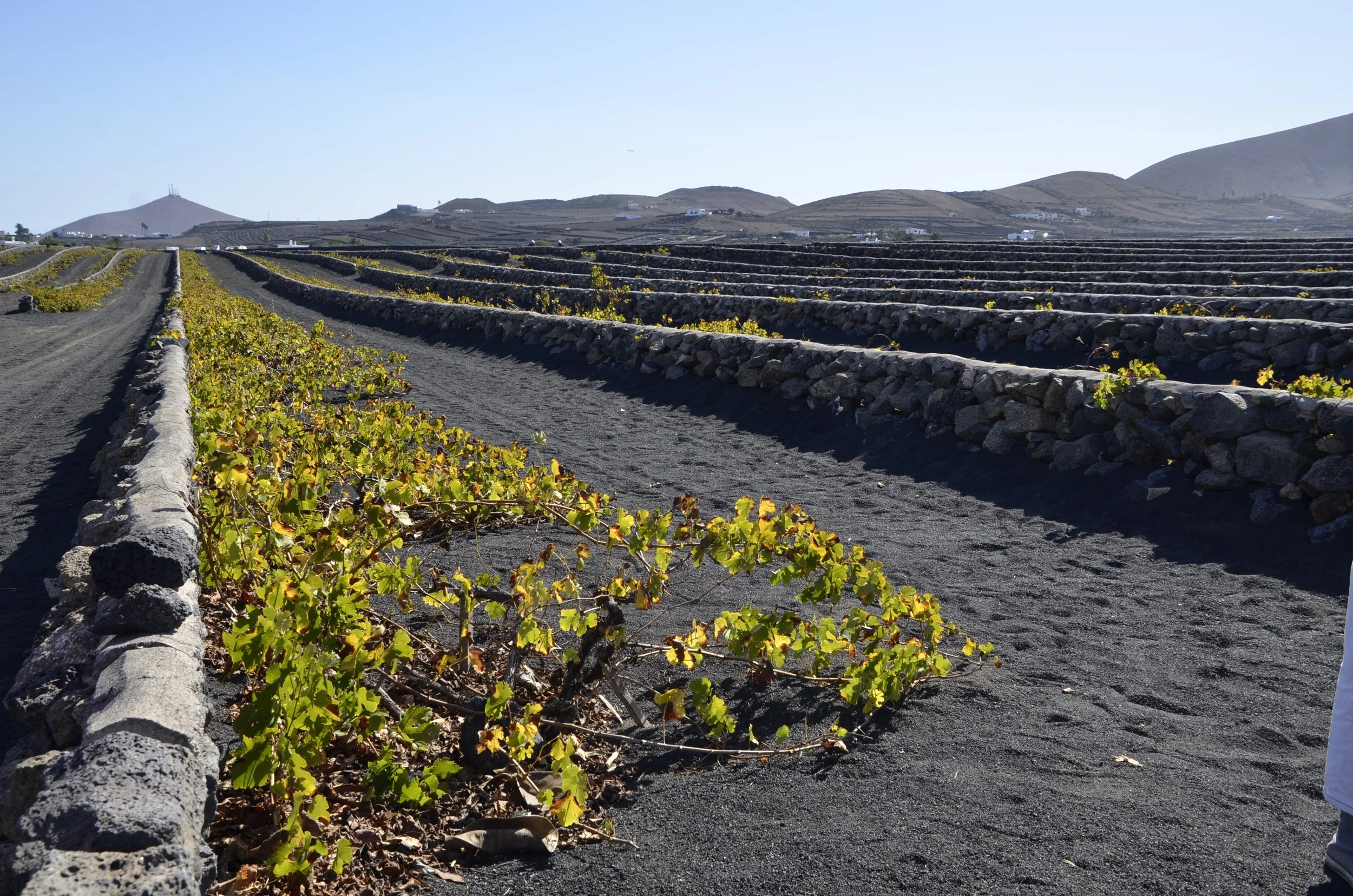
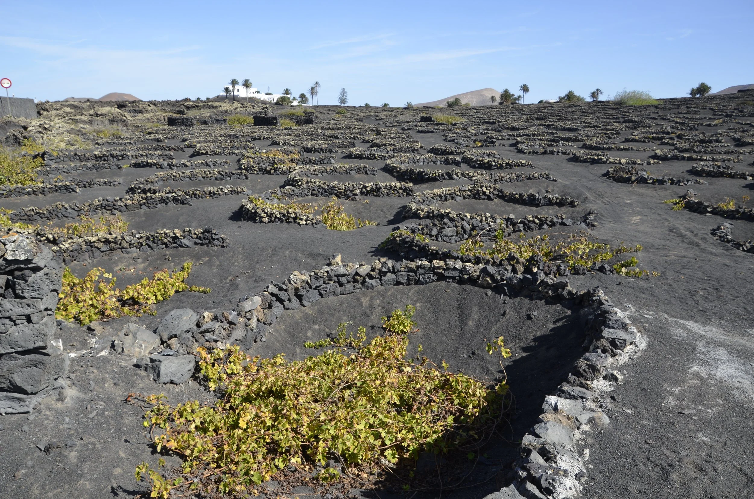
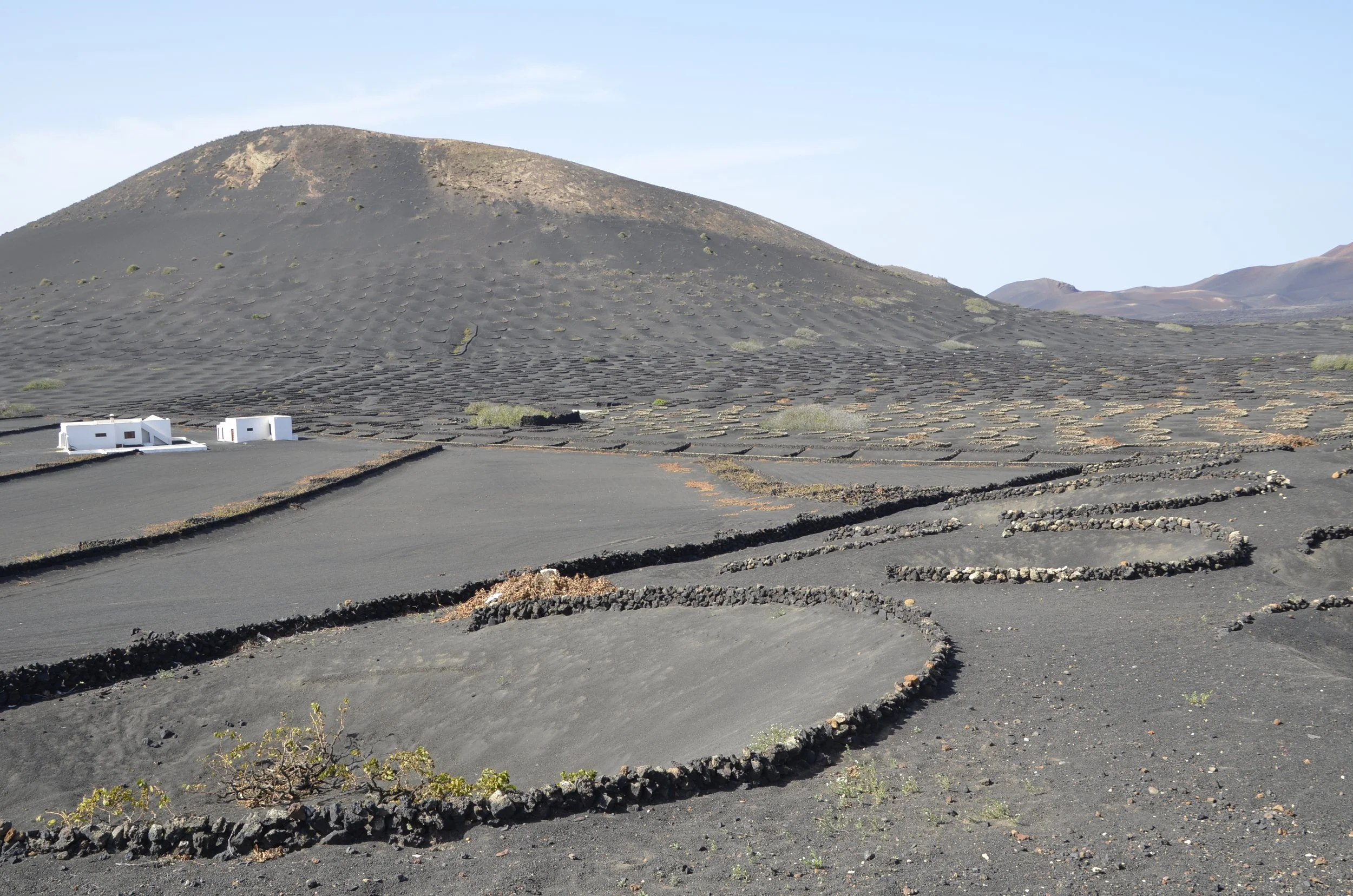
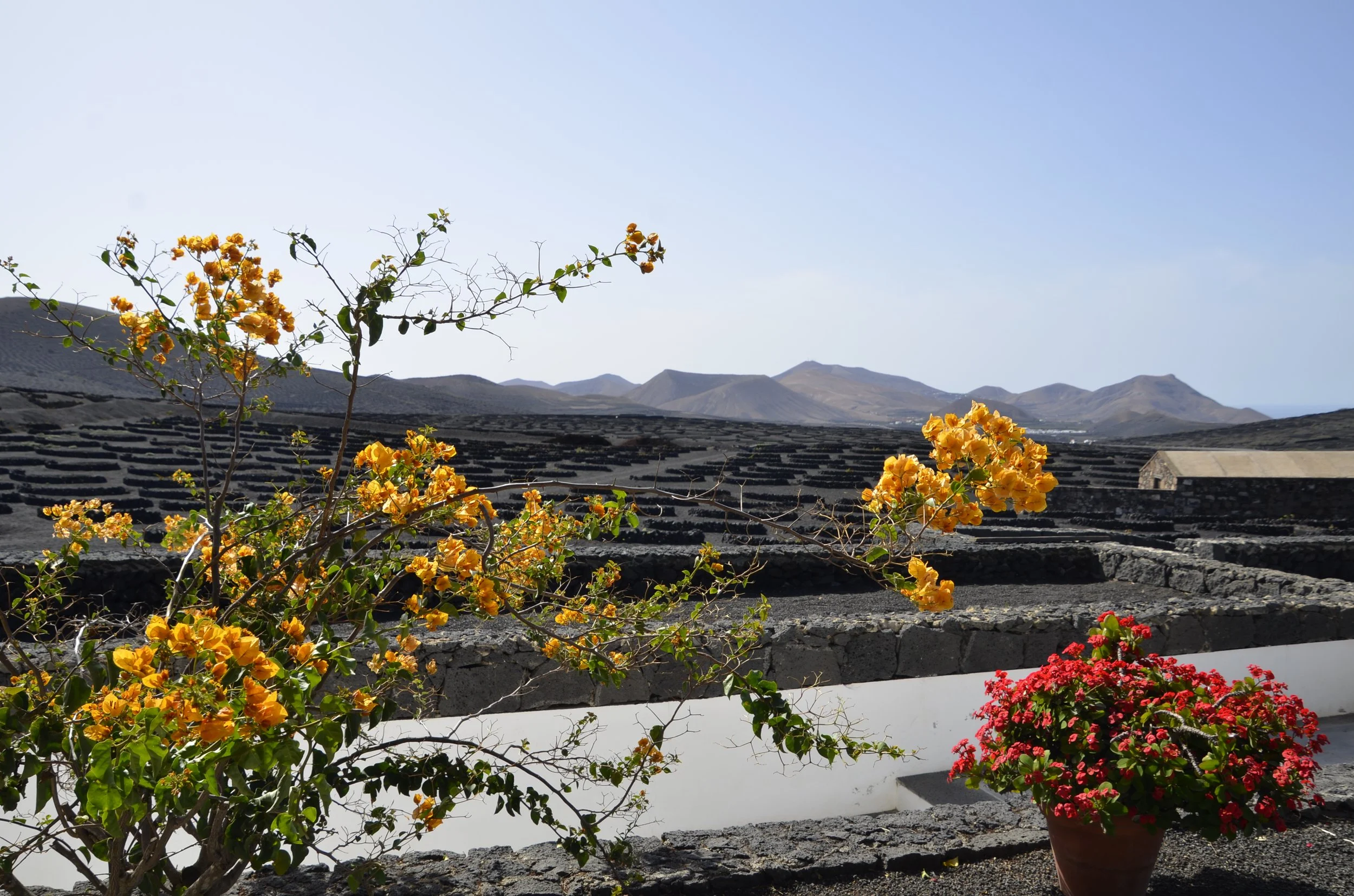
There are 3 main ways that grape vines are grown and protected here. The walls are hand built of native stone that provide a wind break, but also have spaces between the rocks to allow some air flow. Both the large rocks and ash have tiny holes that collect dew overnight, that then runs down to the plant, providing the only moisture. There is no irrigation of the vines on the entire island.
The straight walls are used in the valley where the ash wasn’t so deep, and the semicircular “terraces” are needed where the dirt was found deeper. The third area where a small amount of grapes are grown, usually Muscat for sweeter wines, are natural ravines surrounded by large blocks of broken lava -
Harvest is July - Aug., so there were no grapes for us to see on our tour. The white wines made with Malvasia Volcanica grapes are only fermented for 15-20 days in steel tanks and then bottled. They are meant to be drunk the year they’re produced, and they are quite tasty!
The yield in the vineyards are low due to having to space the vines at least 3 feet apart, so that they don’t compete for the precious moisture. We were told that one vine produces only enough grapes for one bottle of wine!
Now, moving on from wine to hiking - our next favorite topic. :)
The first hike we did on this island was quite the challenge. The viewpoint at the top was killer -
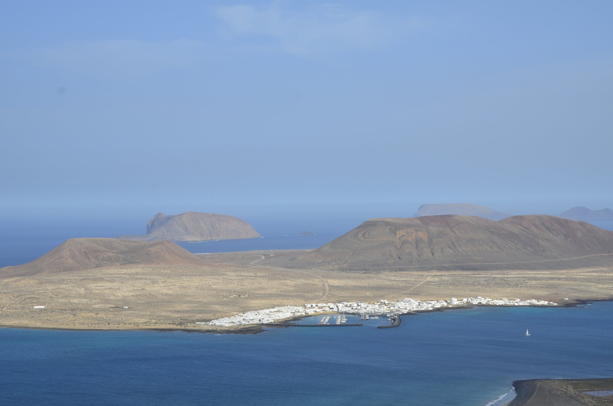
That panorama showed everything very well, but the tint was off. This is what it really looked like -
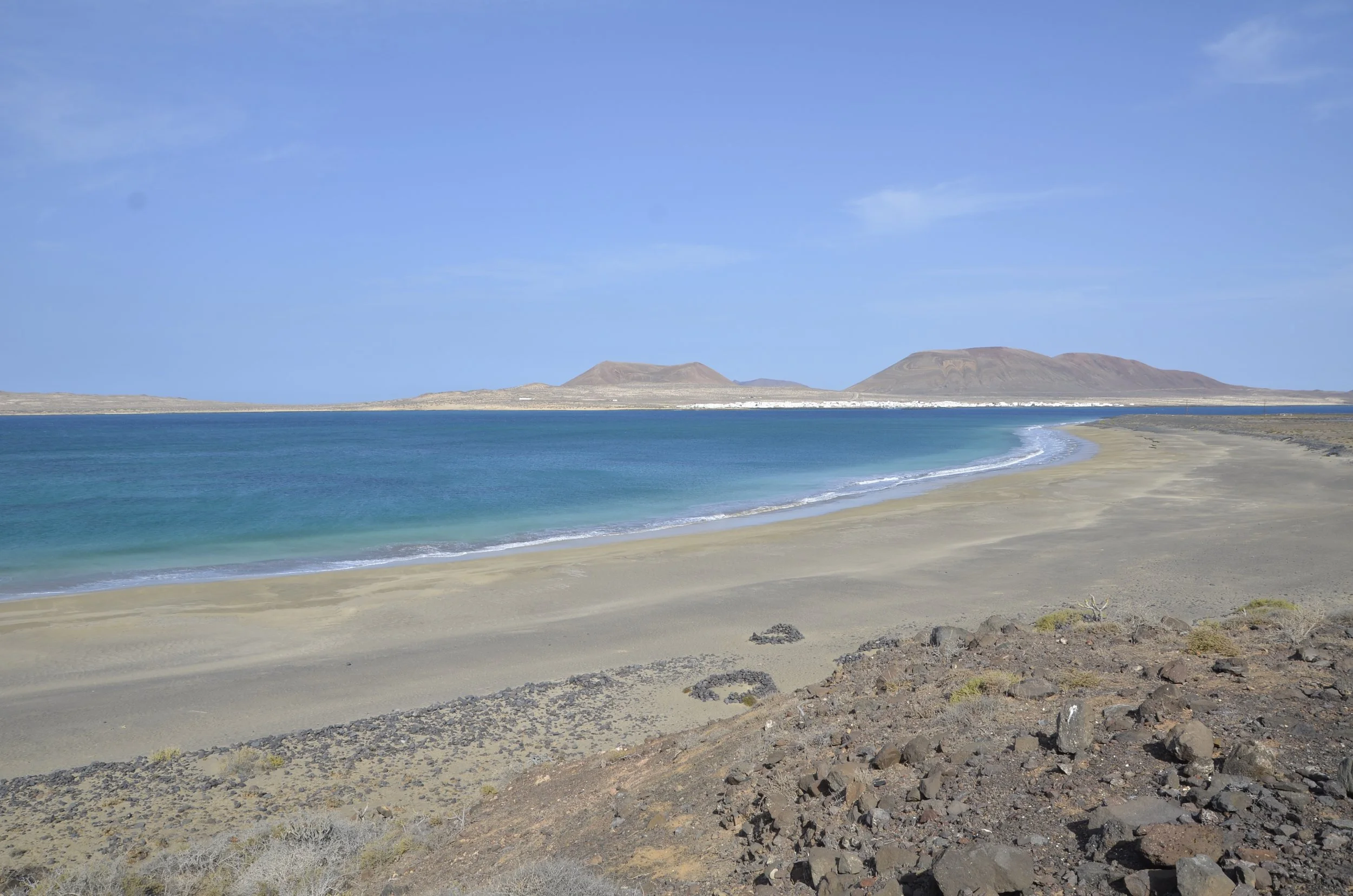
The water was really that blue. It kept me going as we hiked down over a thousand feet in just about a mile (and remember, we had to repeat that back up at the end!).
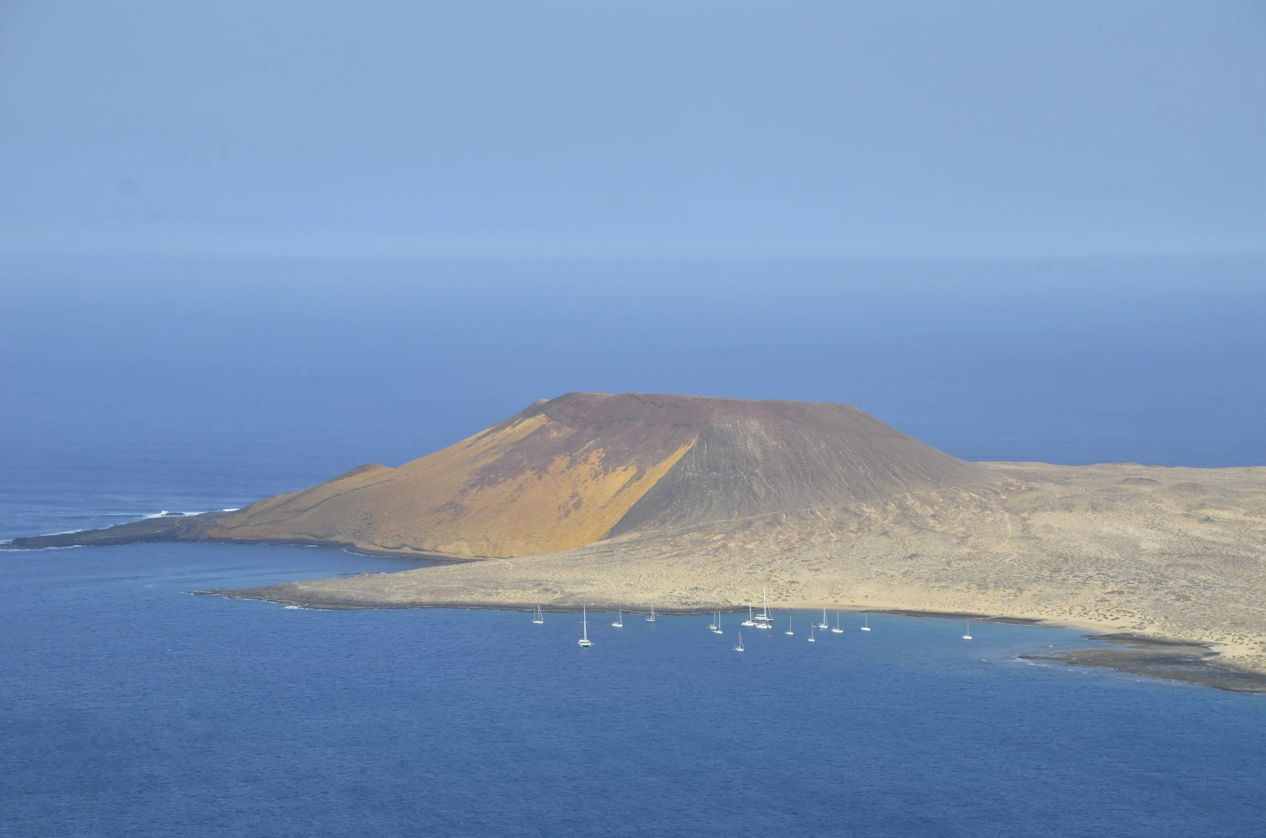
That island is La Graciosa, and it was declared the “eighth” Canary Island in 2018, but it has no paved roads, only 2 small towns and a few hundred residents.
I liked this colorful end of it -
Once down at the shore, we walked along Playa del Risco…
… but the pictures don’t really do it justice, both in the length of beach and in the color of the sand. Because it was such a daunting task to get to, it was as empty as you can see.
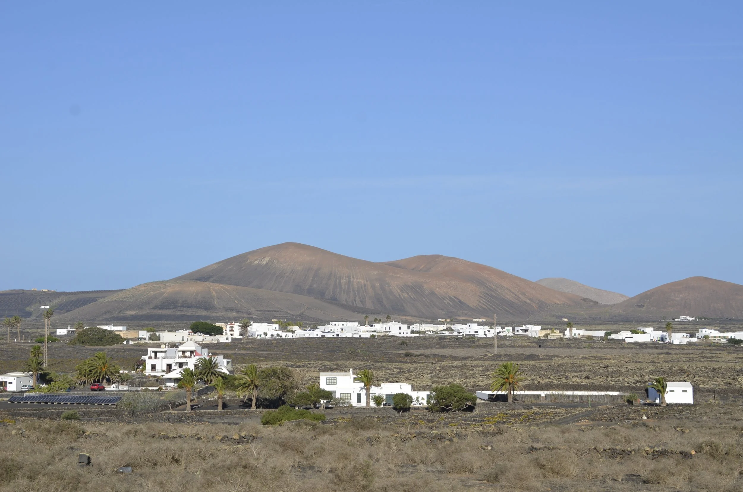
The next day, we gave ourselves a break and did an easy walk. On our way, we continued to pass sights that were super unique to us, but everyday for the residents here -
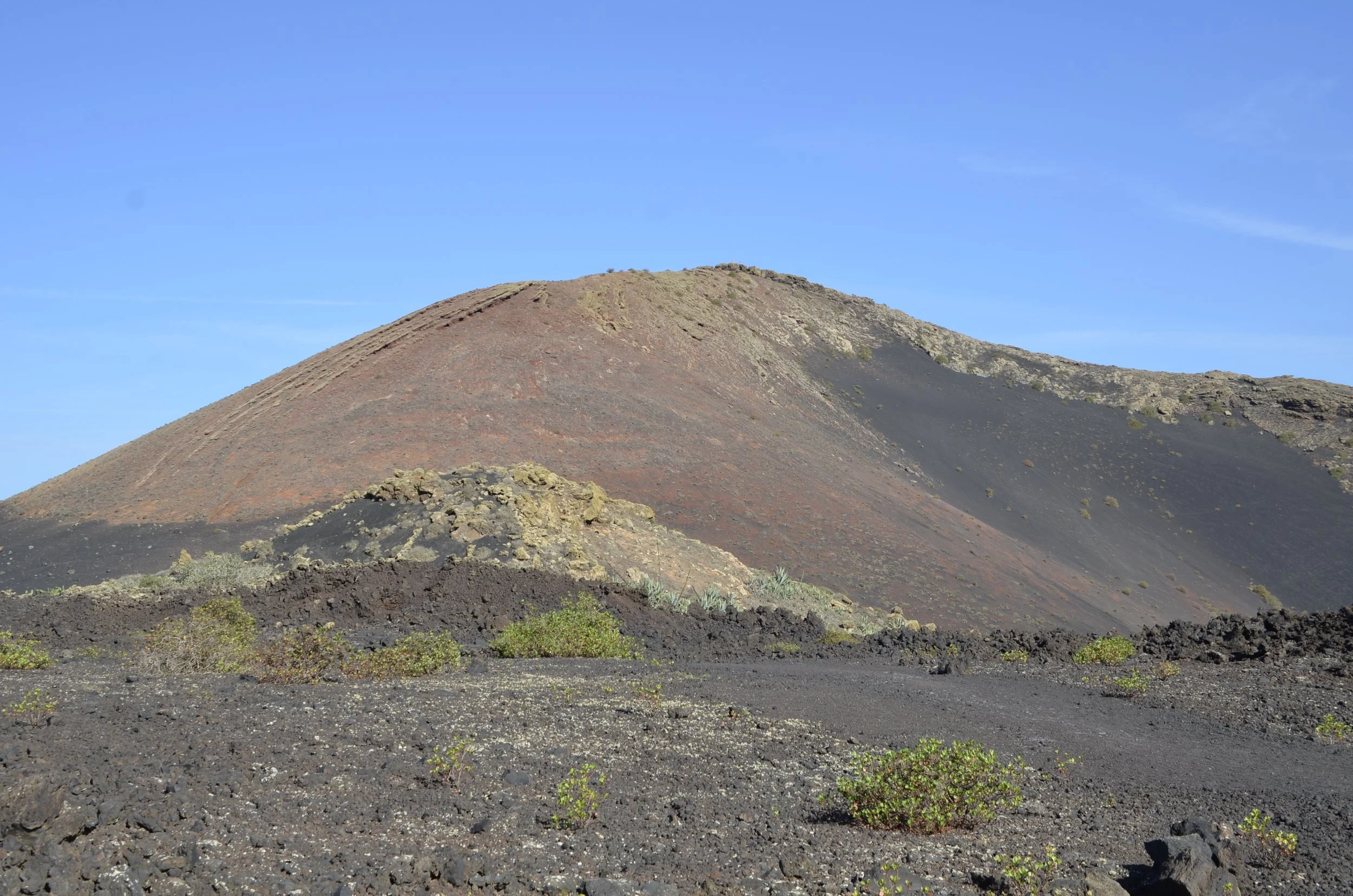
We headed to the land of volcanoes -
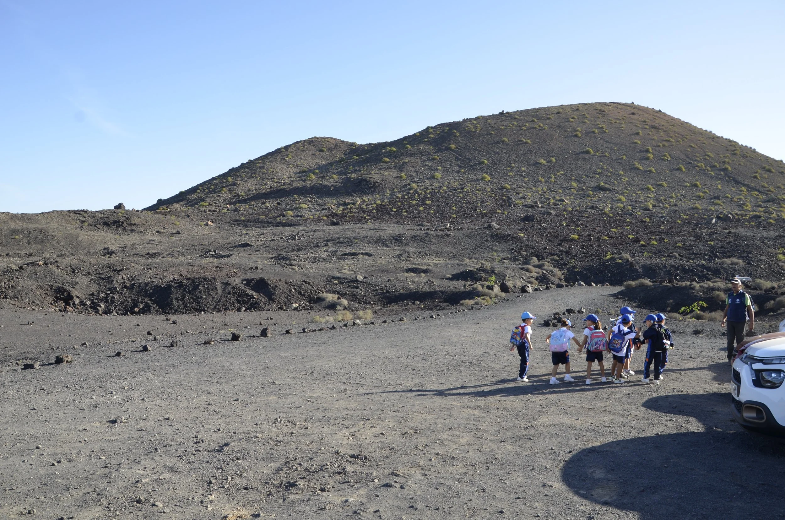
When we reached the trailhead, we concluded that we were definitely going to have an easier day :) -
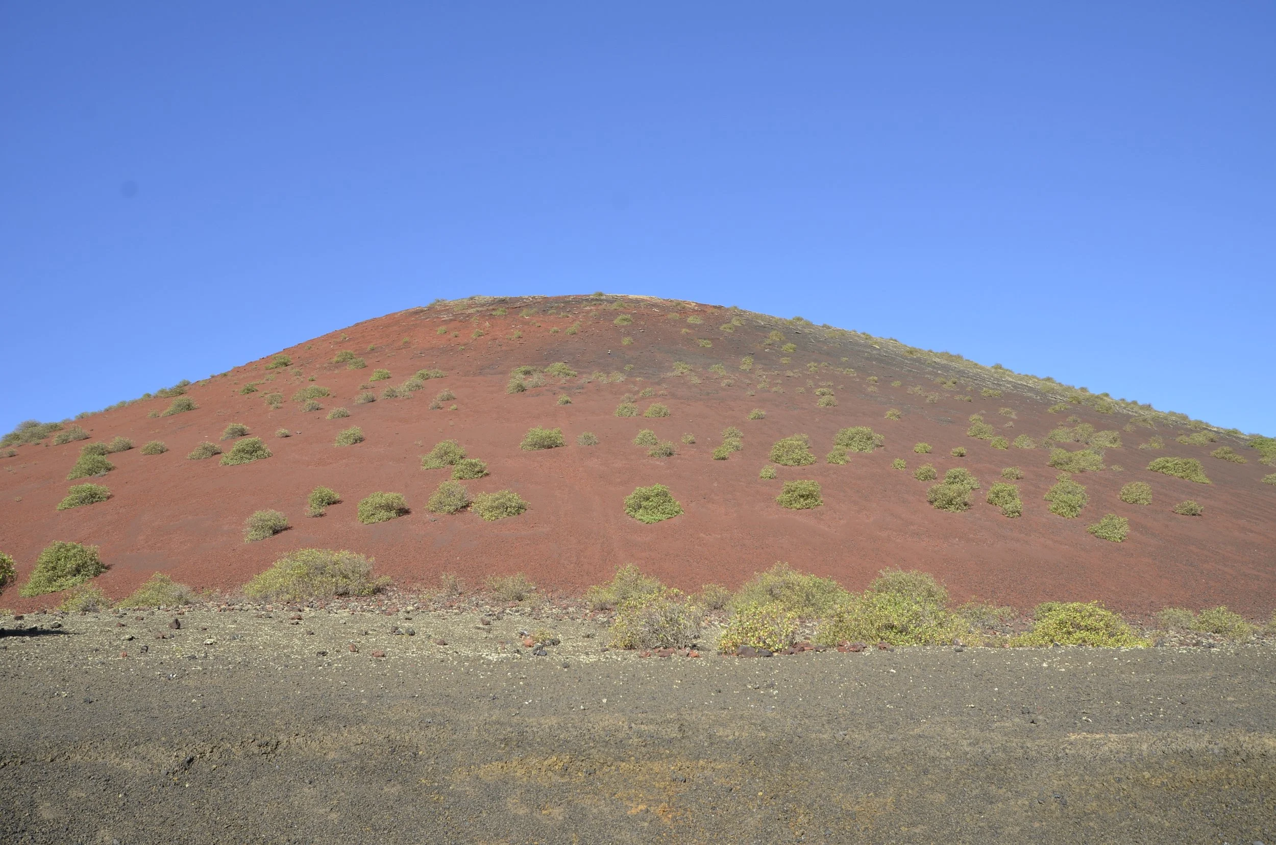
We learned tons of info from signboards while walking around Montaña Colorada…
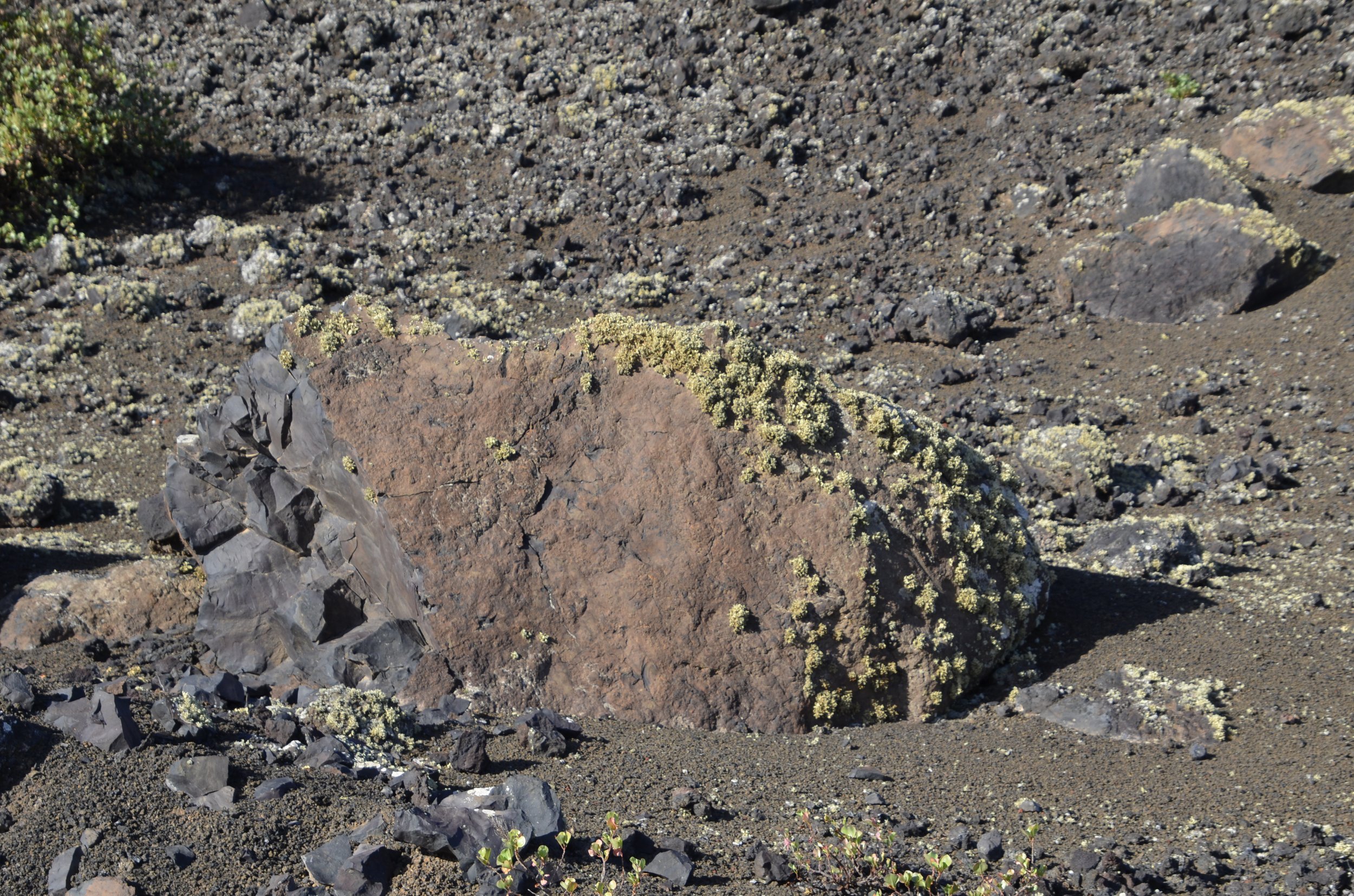
… like the fact that lichens are the first life form to colonize an area after an eruption, but they can only grow on the sides of rocks that face the trade winds that bring moisture -
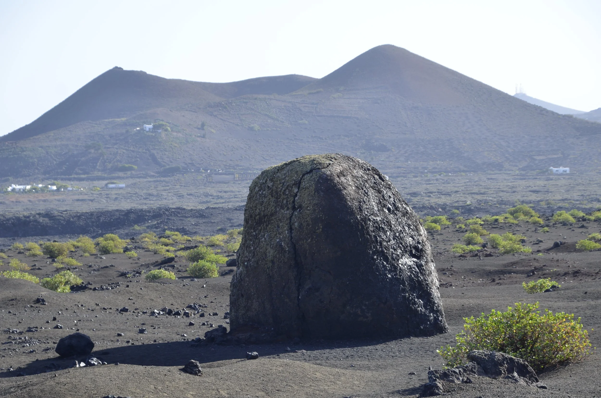
There are such things as “lava bombs”, which are huge projectiles hurled during an explosion, that can cool and solidify before they land. This one was roped off, so I couldn’t get anything next to it to show scale, but just know that it was quite large -
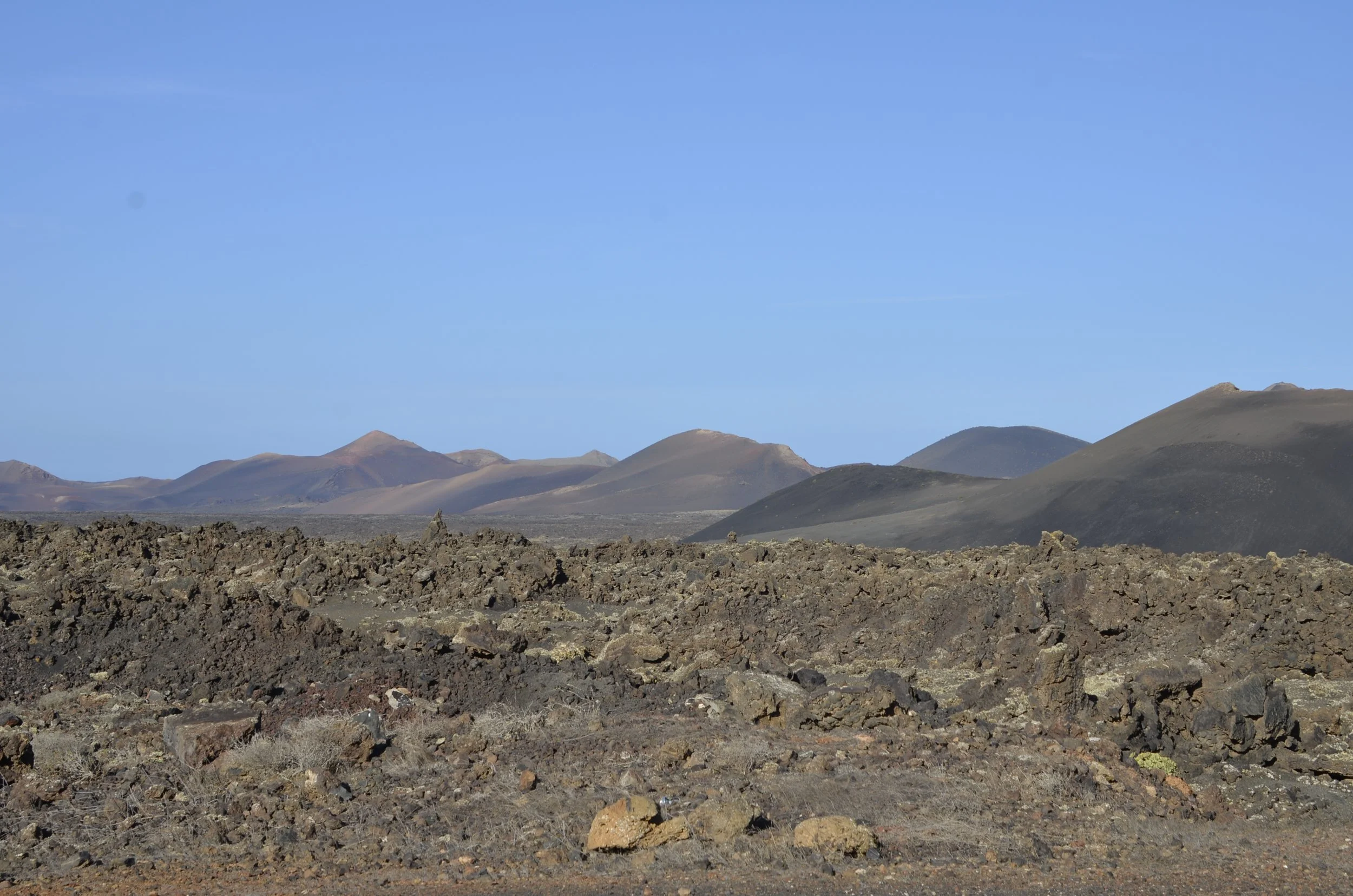
As we walked around the volcano cone, I was admiring the varying hues…
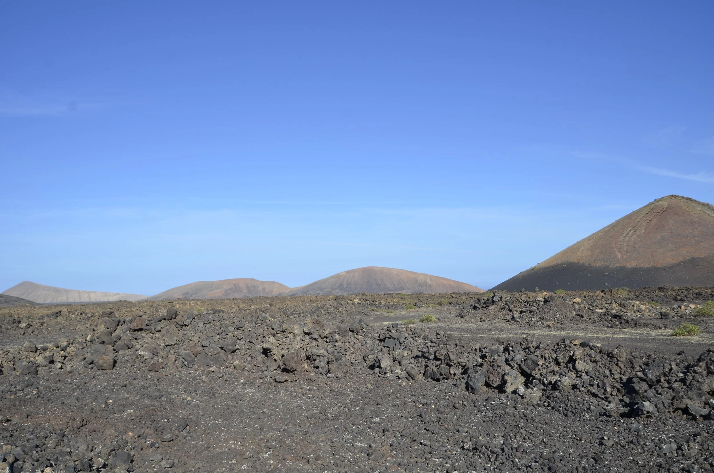
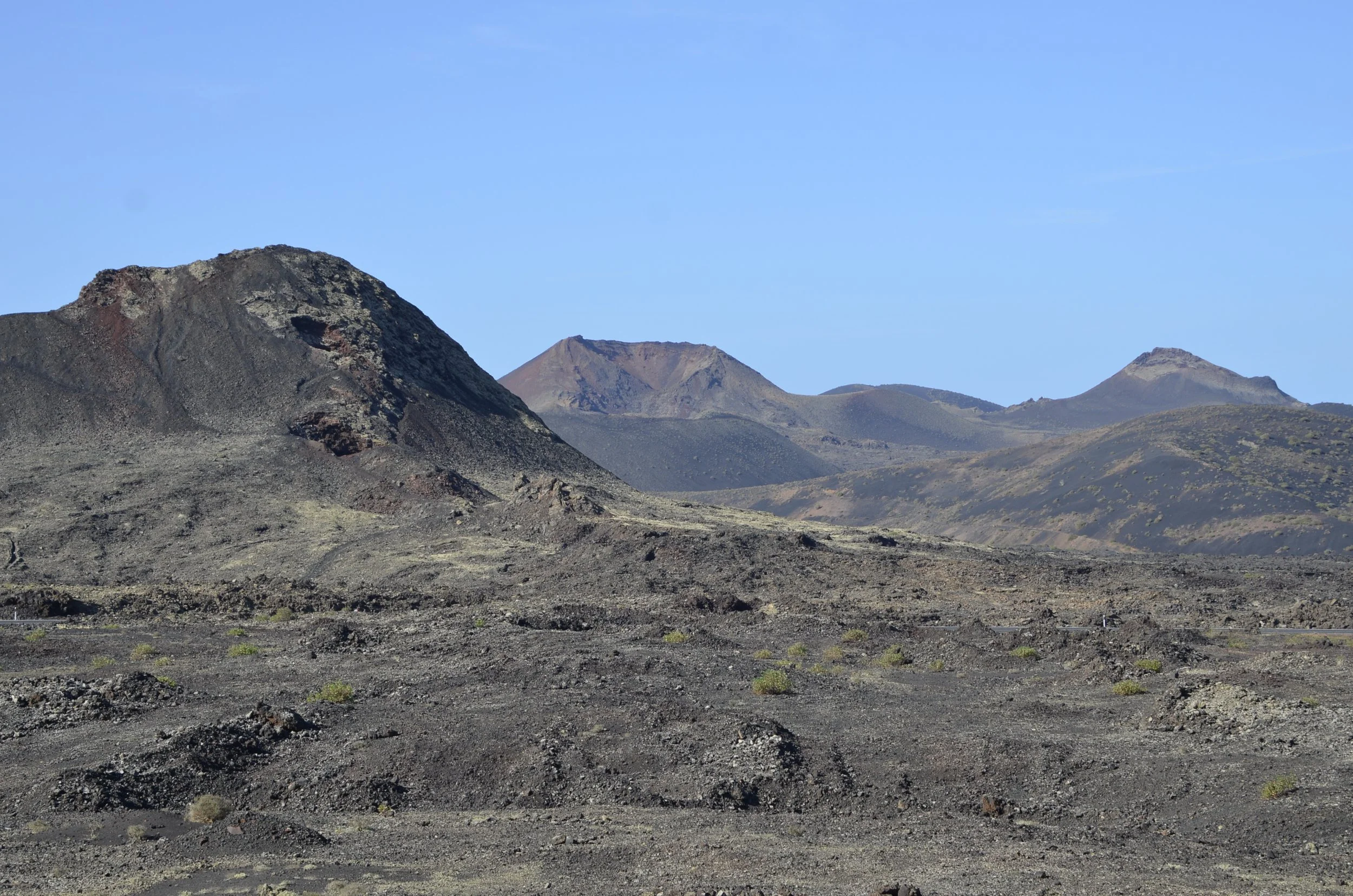
… as well as the strings of cones in the distance…
… and just the amazing number of cones all around us -
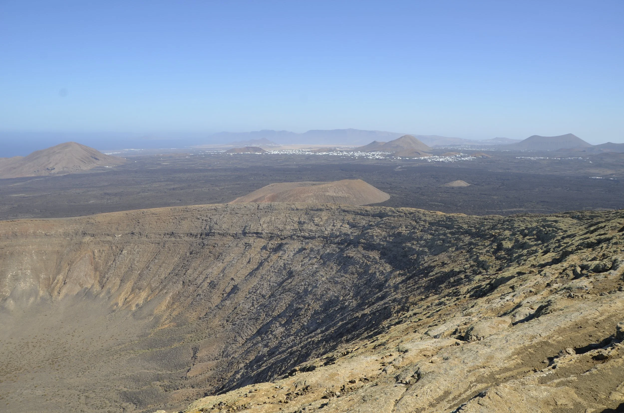
… Now for a bird’s-eye view -
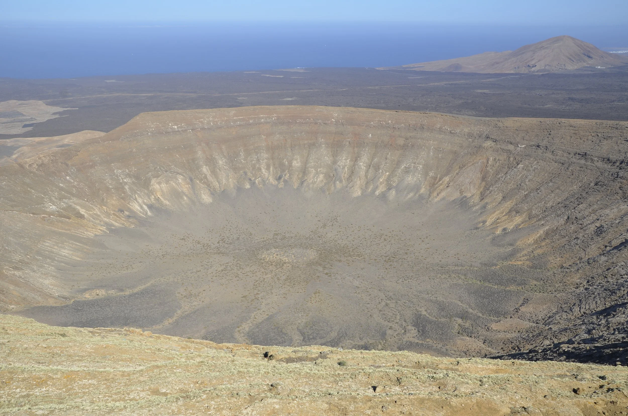
This was from our hike on our last day on the island - to the top of Caldera Blanca (because, why not?!) -
diameter is 1200 meters (almost 4,000 feet across!)
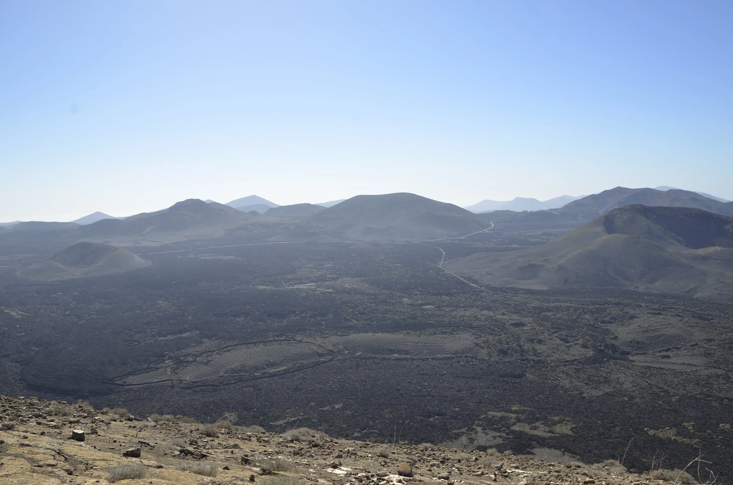
From here we could see the Timanfaya volcano complex that wreaked so much havoc on the island in the 18th century -
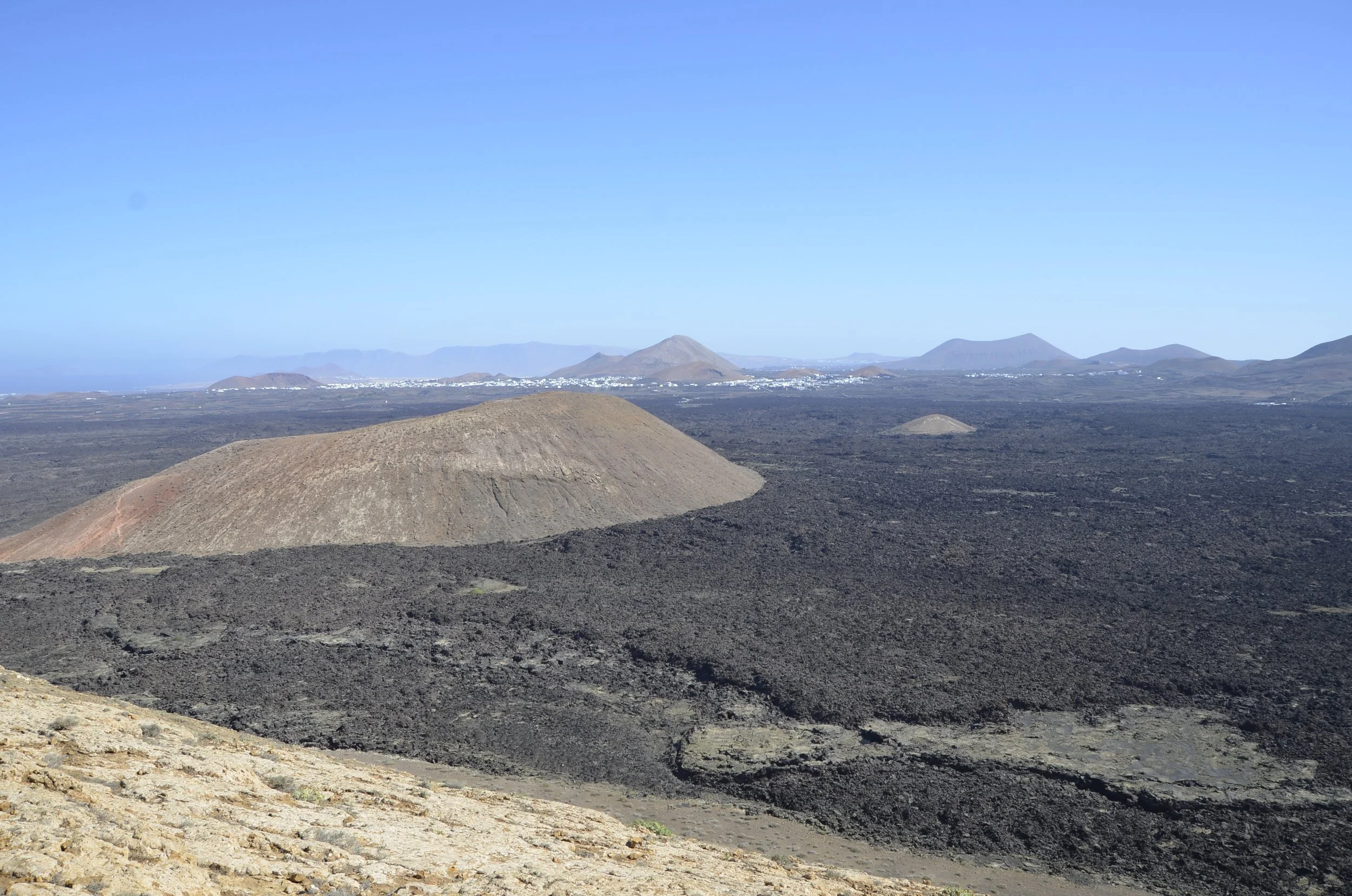
It was really interesting to see how the older, paler volcanoes stood out from the black lava that flowed from Timanfaya -
See you on the next island!
