Teddy Roosevelt National Park
Well, we’re off again, and first it’s to the wilds of North Dakota. In our travels through our enormous country, we’ve usually aimed for national parks as a goal, and then explore the states they’re contained in. This was our first trip to North Dakota, and most likely our only. There’s a whole lot of empty with big pickup trucks, lots of dirt and huge machinery for the oil and gas industry. It reminded us of west Texas. The eastern half of ND has huge fields of corn and wheat, as well as grass bundled into round bales.
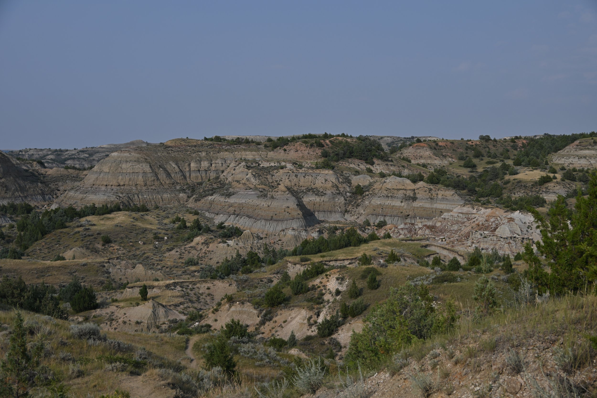
Along US 94 (that runs straight east-west through the middle of the state), the land suddenly drops away and you’re treated to the Painted Canyon in the SE corner of Teddy Roosevelt NP –
We arrived in the late afternoon, so took the time to amble along a short trail…
… and drop down a bit to see the layers and colors up close –
I just loved the variety of colors and the very specific layers, all being modified by vertical erosion –
The national park is divided into 2 main areas, a South and North unit separated by about 80 miles. There is also a third unit comprising the Elkhorn Ranch that Teddy Roosevelt operated in the late 1880’s, but it takes a lot of driving on uneven dirt roads to reach abandoned buildings. We passed on that opportunity.
We first explored the South Unit by driving along the Scenic Drive and stopping at pullouts to admire the local denizens…
… Black-tailed Prairie Dogs that lived in several spacious “towns” along the drive. I tried taking pictures of the town, but taken as a whole, they were boring, other than the closeups of the inhabitants –
This next shot has a nice tableau of the prairie dog town in the foreground and the bison and badlands further back –
We rounded a corner near the Peaceful Valley Ranch (no longer a working ranch)…
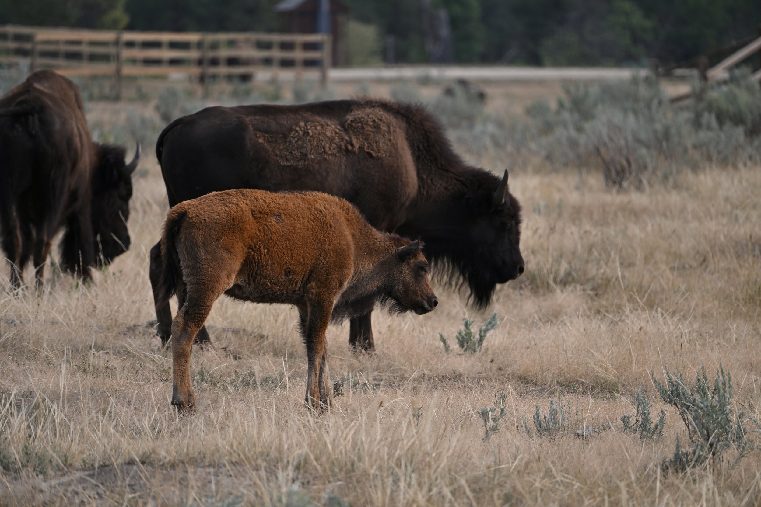
…and I got all the Bison close-ups I had just been wishing for.
I liked his pantaloons!
We saw several big boys taking dust baths…
… and marveled at the size differential –
Steve captured a good video of the vocalizations, noting that they stick out their tongue when “talking”. As usual, click the link at the bottom of this email to open it in a browser so you can view the video (be sure and have volume up to hear the big guy) -
Crossing the next prairie dog town were a fine pair of Pronghorn Antelopes –
We were really glad we had gotten an early start on our drive, as the air was cool, and the animals were roaming about, like this Mule Deer –
Our next stop was Wind Canyon…
… with nice views of the Little Missouri River –
Did you notice all the bison tracks in the mud?
We moved on to the Boicourt Overlook, with a nice big picture of the park –
This was the only area in both units of the park that you can see coal seams –
My eye and camera kept being captured by neat geologic and erosive features along the road –
It took us an hour to drive up to the North Unit, and we were really glad we decided to check it out, because it was beautiful in a different way (there was more vegetation) –
Cannonball concretions…
… are formed when mineral-rich water seeps through porous sediment layers and deposits the minerals. These act like glue, binding the sediments together, but scientists still don’t know why various shapes are formed.
Near the end of the scenic drive through this unit, was another nice view of the Little Missouri River…
… with “Bentonitic Clay” capping the outcropping in the center. From an interpretive board in the park – “this blue-grey clay flows when wet”.
I’ll let this last picture sum up the park for me –


