Guadeloupe (deuxieme partie)
…that’s “part two” for you non-Francophiles. Out of all the countries we’ve visited so far, this has been the one to have the largest language barrier. After having such an easy time in Italy (and not knowing a shred of Italian when we went) because essentially everyone spoke fairly good English, we’ve been pulled up short by our minimal French vocabulary. I found out that 85% of tourists here are from mainland France, so why should they bother knowing English? We have found only rare menus in English, so we’ve relied on Google Translate quite a bit, until we internalized some of the more common terms. It sure has lead to some giggles by both us and waitstaff. It’s been very heartening at how much they have tried to understand us, rather than just disdaining us. Dinners have been very entertaining affairs (even before alcohol is served)!
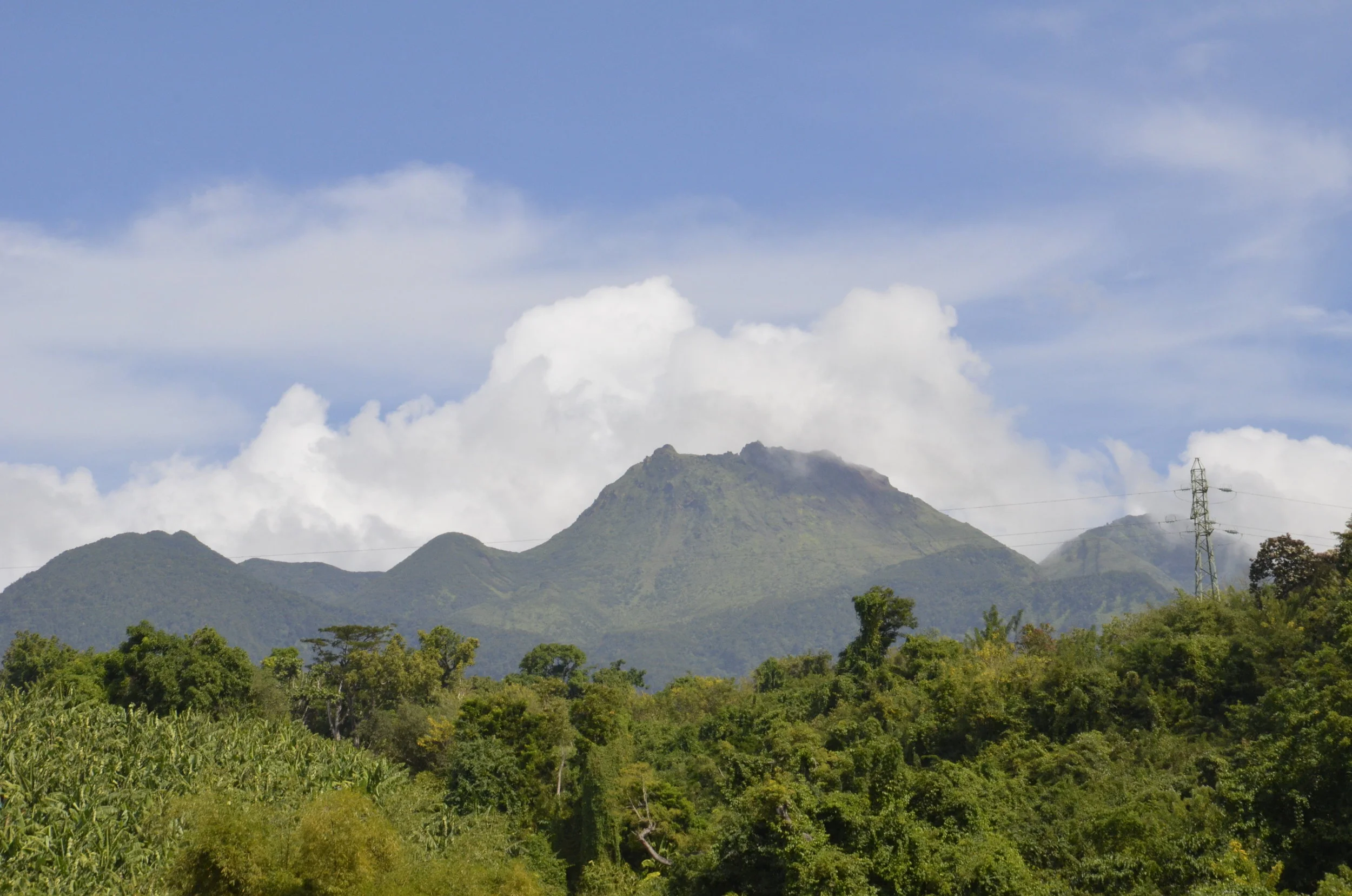
Our next big excursion was to tackle La Soufriere. This is the still active volcano on the south end of Basse Terre island, that you can “easily” hike to the top. We could actually see this from our apartment, and all week had watched it wreathed in clouds. This is apparently true but for 30 days a year. So, imagine my joy, when I awoke one morning and saw:
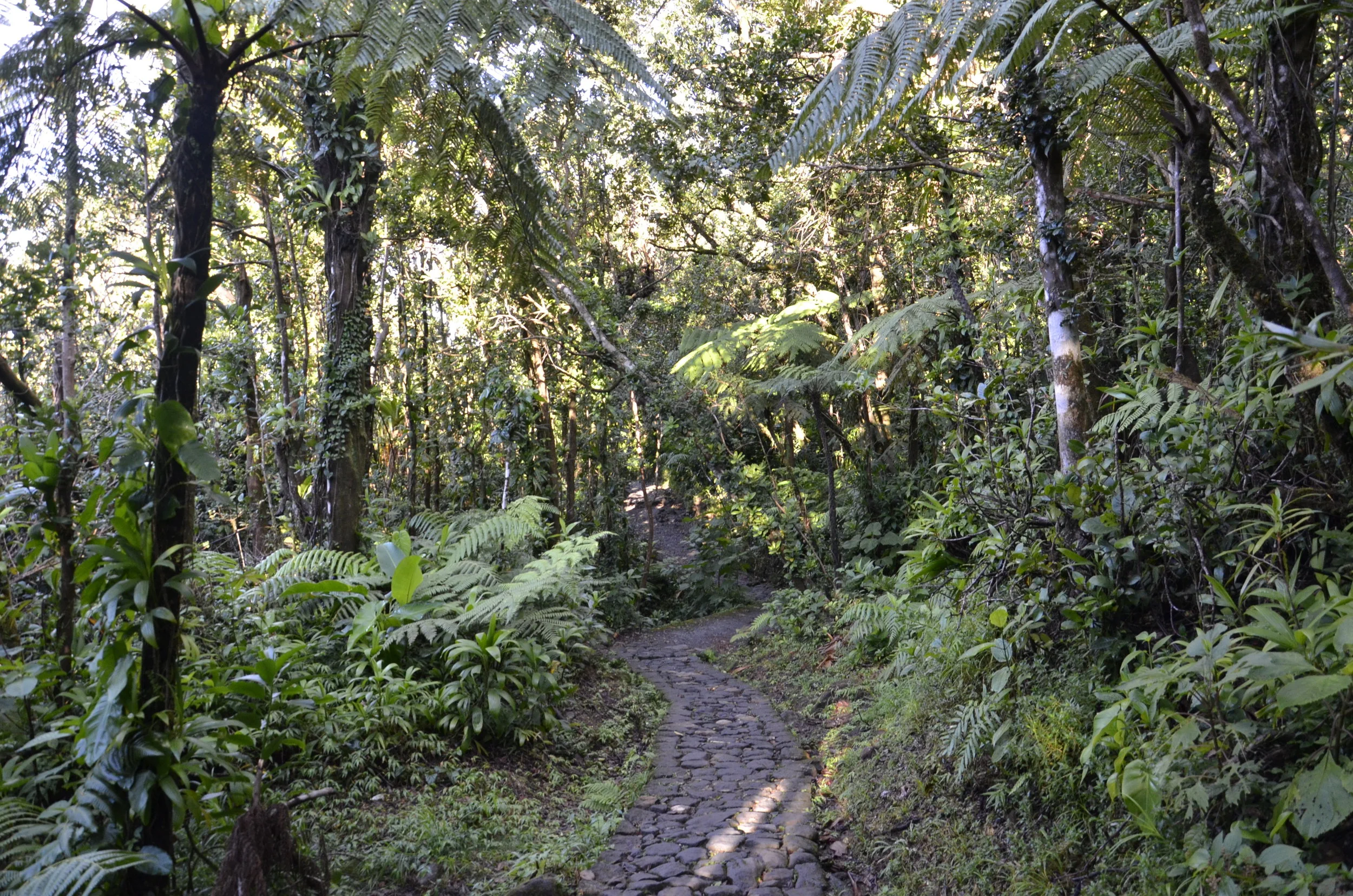
We quickly set out and got to the parking area by 0800, which was such a blessing, as we got a spot right near the trailhead, rather than having to walk a half mile or more uphill, even before beginning the formal trail. It was “only” 2 miles of hiking up, but we gained 2200 ft over that distance, topping out at 1467 m (4,813 ft). We started in the rainforest:
but fairly quickly came up out of it to see our goal -
(This shot was actually taken later, but if you expand the picture, you can see the people on the trail across the lower half):
We took about 1 1/2 hours to go up, and there were some narrow spots along the way -
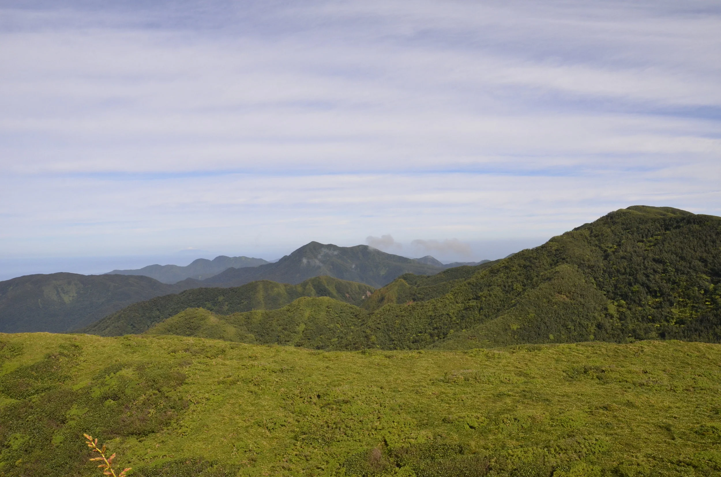
as well as gorgeous views across the interior of the island.
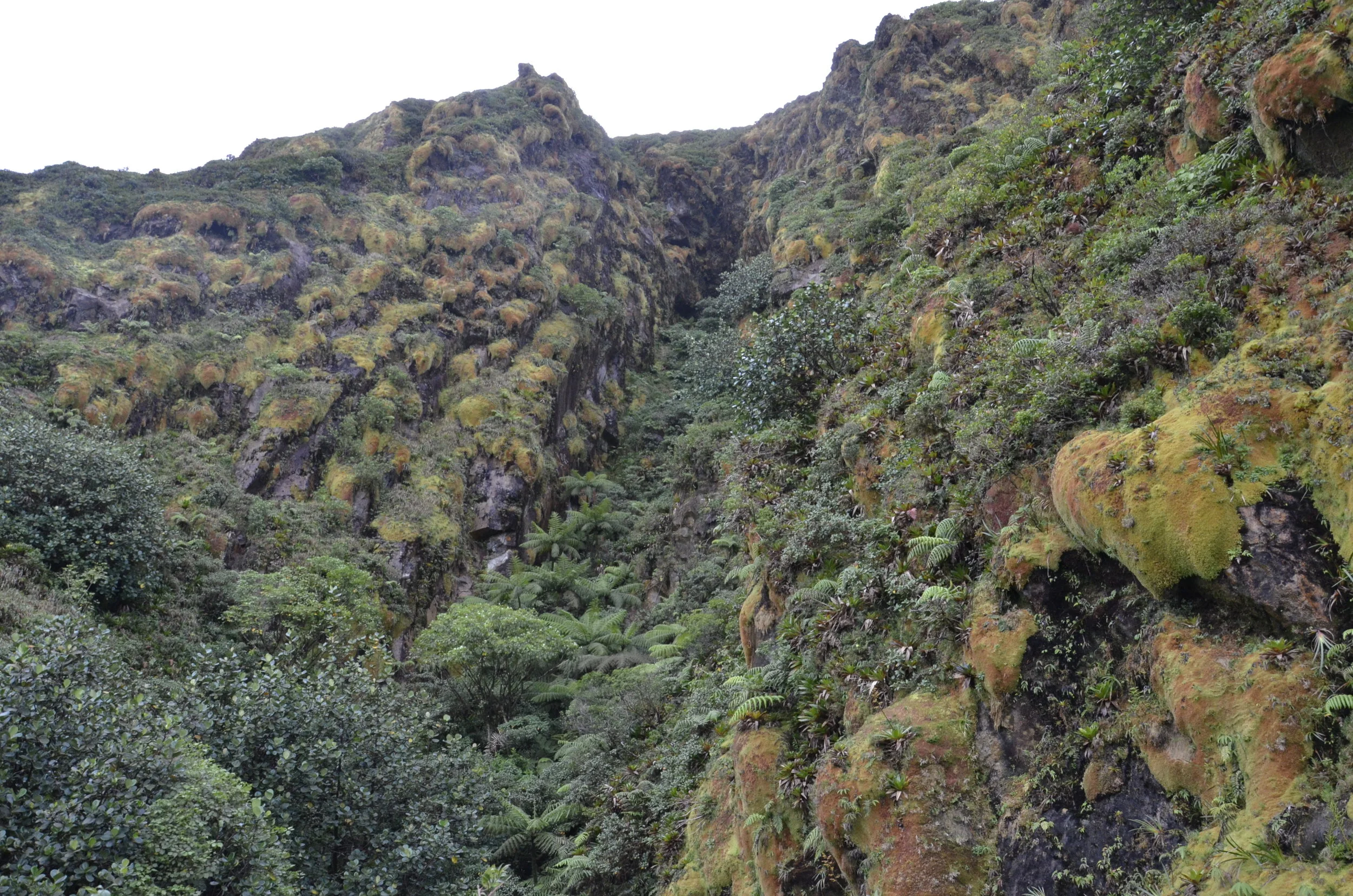
There was a large rift near the top that has been filled in over the years with mature palm trees (giving you the scale of the cleft) -
After clambering with both hands and feet over the last 20 minutes, nearly straight up, we reached the top, and boy, was it worth it!
The ocean you see here is actually where the Atlantic and Caribbean meet.
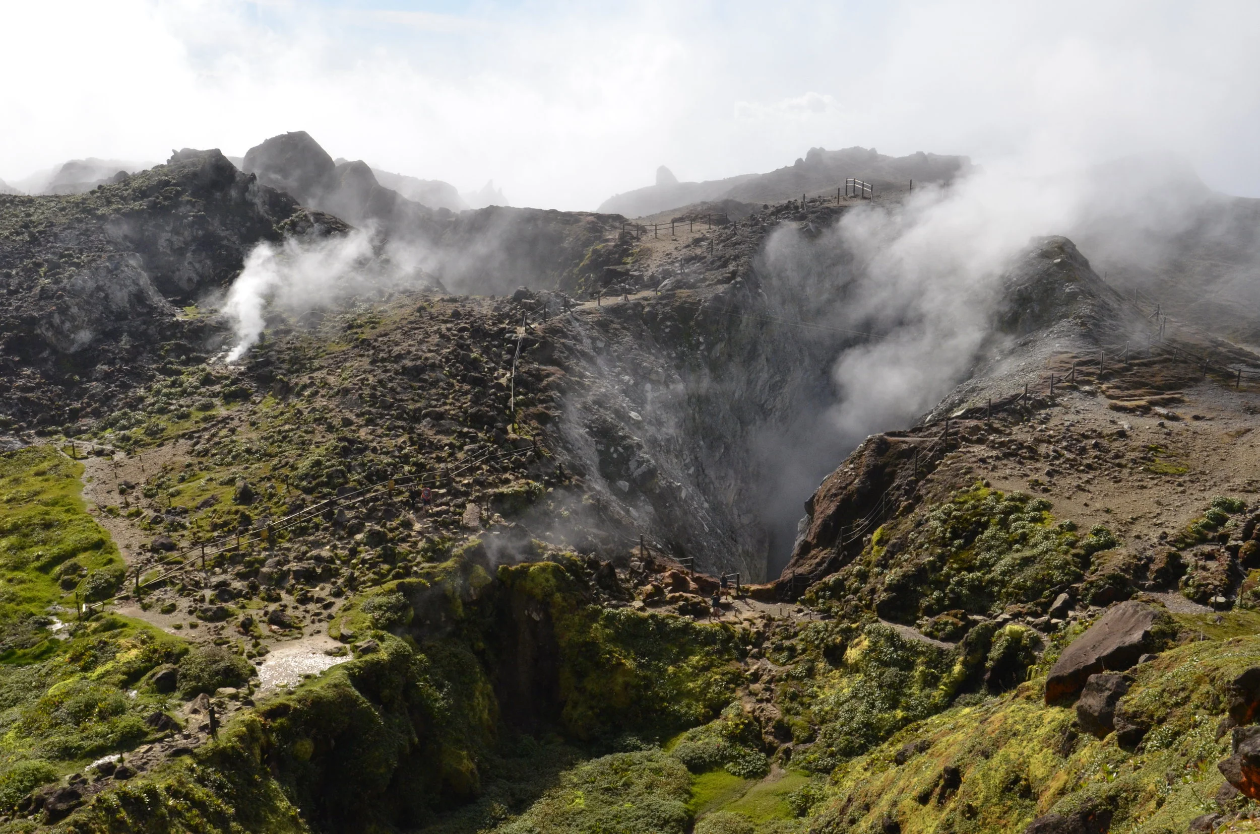
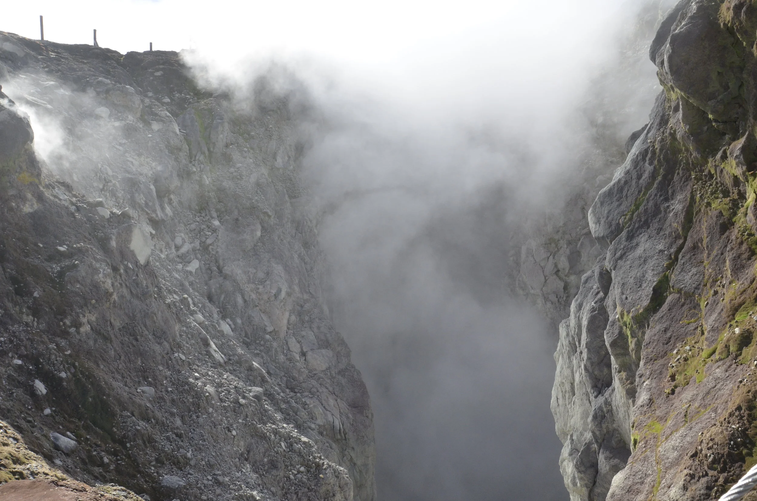
There are several small vents, as well as the big ‘un:
(there’s a person on the trail at the mouth of the crater to give scale)
This was a “little” point that we didn’t feel we needed to climb up, after we saw the young people having a tough time with it. Again, enjoy the view:
We decided to treat ourselves to a little rest and relaxation the next day by joining an all day boat tour exploring the mangrove lagoon off the north end of the island (Grand Cul-de-Sac Marin).
There are numerous islets, both tiny and large, of mangroves in the 330,000 acres of marine reserve. This is one island that is slowly being reclaimed by the sea:
where we stopped to have a drink -
We also did some snorkeling at several spots, but again, there wasn’t anything that was really novel for us. It was pretty cool to see the kids on our boat get excited by stingrays and starfish, so we enjoyed their discoveries vicariously.
The water was such a brilliant blue because it was only about 1-3 feet deep over much of the lagoon.
Now we’re off to St. Lucia!

