Guadeloupe (part one)
This year “we” decided to take it easier on our exploration of Caribbean islands (meaning visiting only 4 islands, rather than 7, over about the same period of time). Guadeloupe is an overseas region of France, that is actually a number of islands. For the first 10 days of our trip, we stayed on the largest island, Basse-Terre, and just outside of the capital city of the same name. From there, we explored the mountainous, rainforested part of the nation, while at the end of our journey, we’ll return to Guadeloupe to stay on the more beachy island of Grand-Terre.
We first hiked along the southern coast,
and came upon the remains of a windmill:
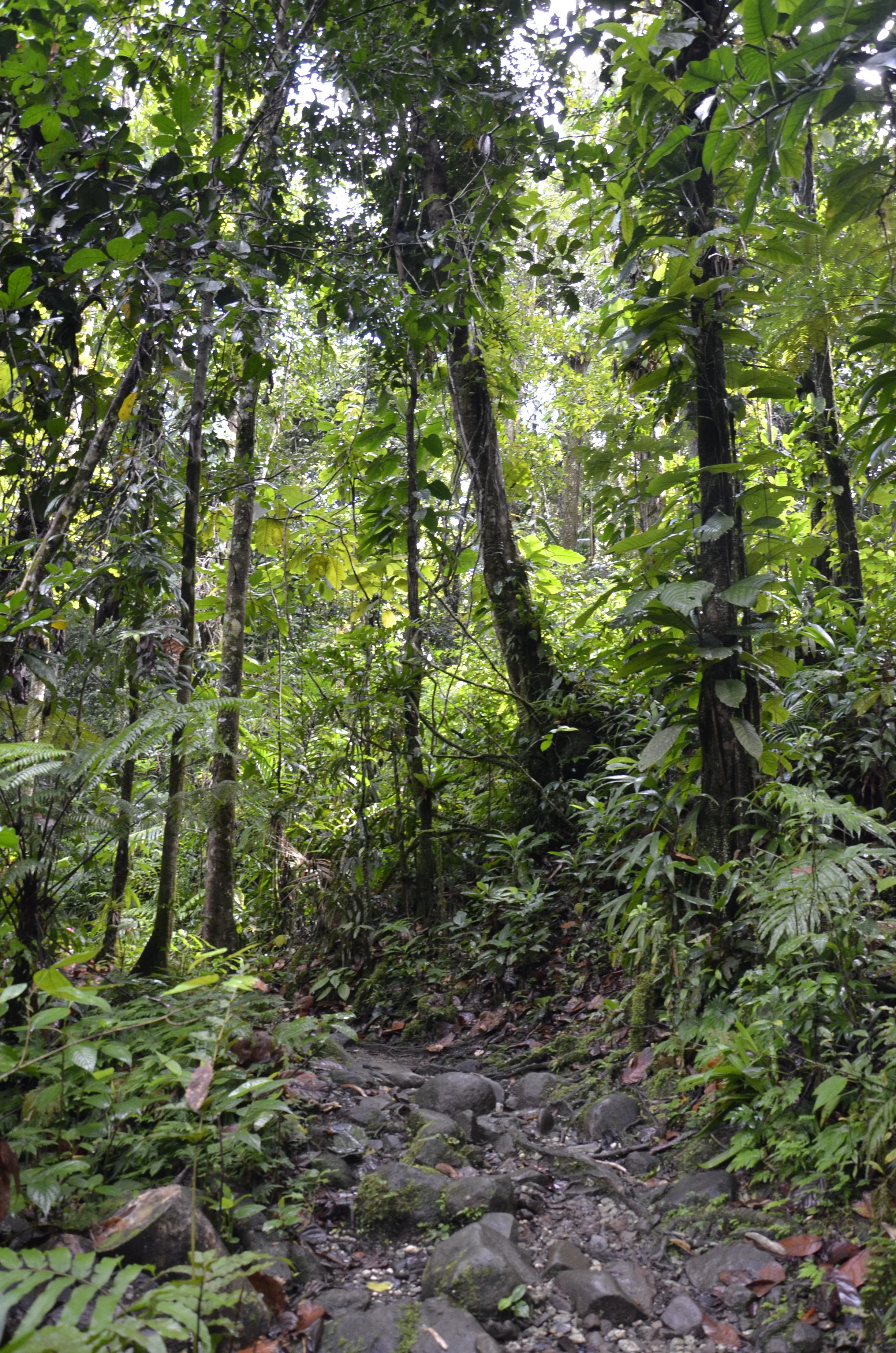
On another day, we headed up into the rainforest in the center of the island and in the center of the National Park that encompasses almost half of the island. This was the path:
that led to the “cascade” (basically, French for little waterfall):
Here’s a common scene as we drove around the coast:
One morning, we rented kayaks to snorkel at these offshore islands in the Cousteau Reserve. It was about a 20 minute trip out, and 30 minutes coming back against the wind. Given our past diving, we didn’t consider the underwater life that great, but it was a fun diversion.
Next up was visiting the Carbet Falls. We were SO glad we got there early, as we were by ourselves at the overlook for several minutes; and then came upon numerous people on our way back out.
As you can see, this island is very lush.
(I actually included people on the path to give some scale - can you see them?)
From the overlook:
110 metres high
Tomorrow we plan to hike up the (still active) volcano, Mt. Soufriere, and explore mangrove islands by boat and snorkel the next day. Au revoir!


