Capitol Reef Nat'l Park and Kodachrome Basin State Park
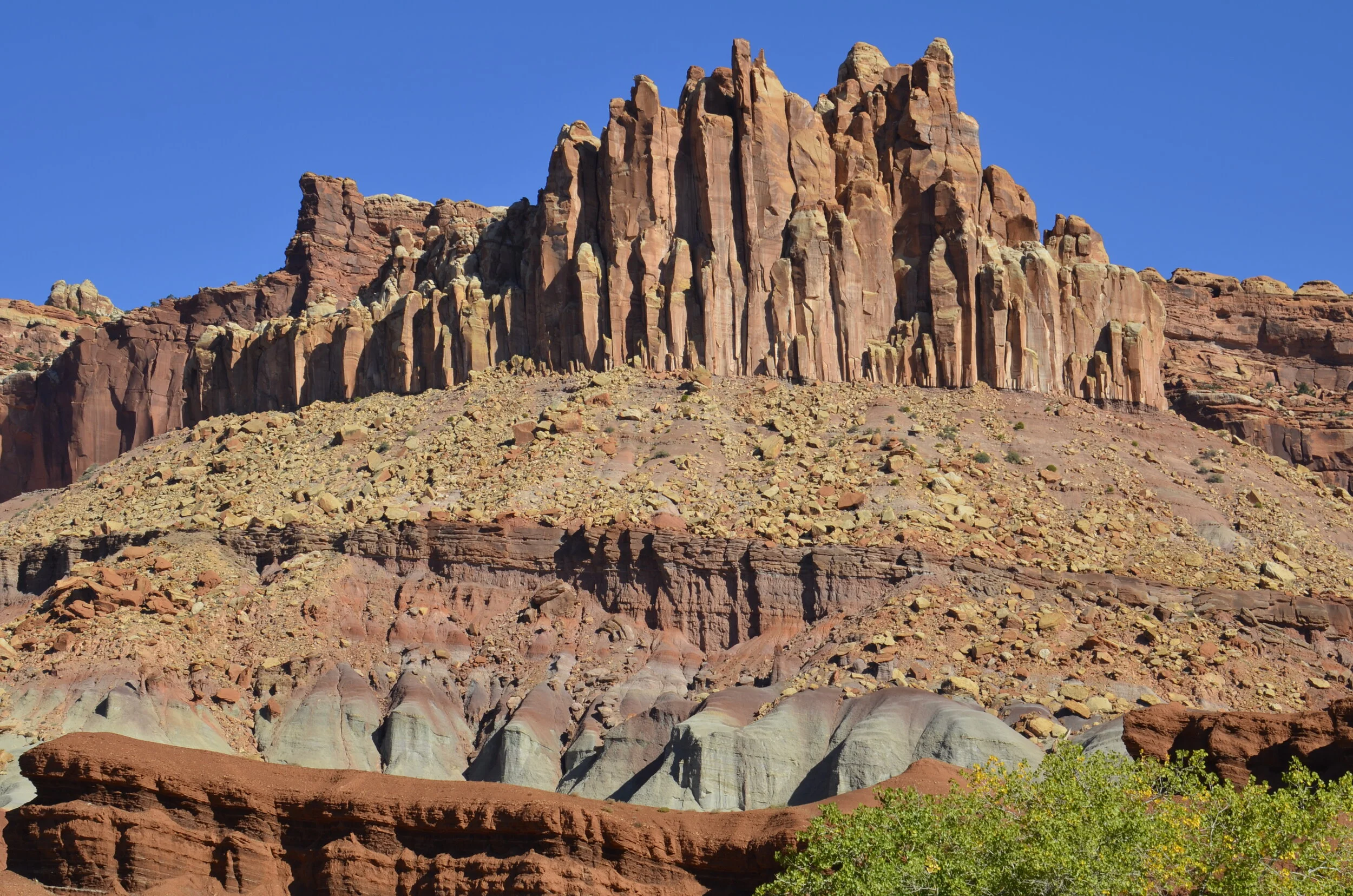
Since we were in southern Utah, we were obligated to visit “the mighty five” national parks. As you remember, we explored Arches and Canyonlands, so the next one further west was Capitol Reef. It’s not nearly as widely known as the others (with Bryce and Zion rounding out the five), but it sure has some pretty layers of rock…
…and some interesting signs:
Alas, we didn’t see any in the flesh.
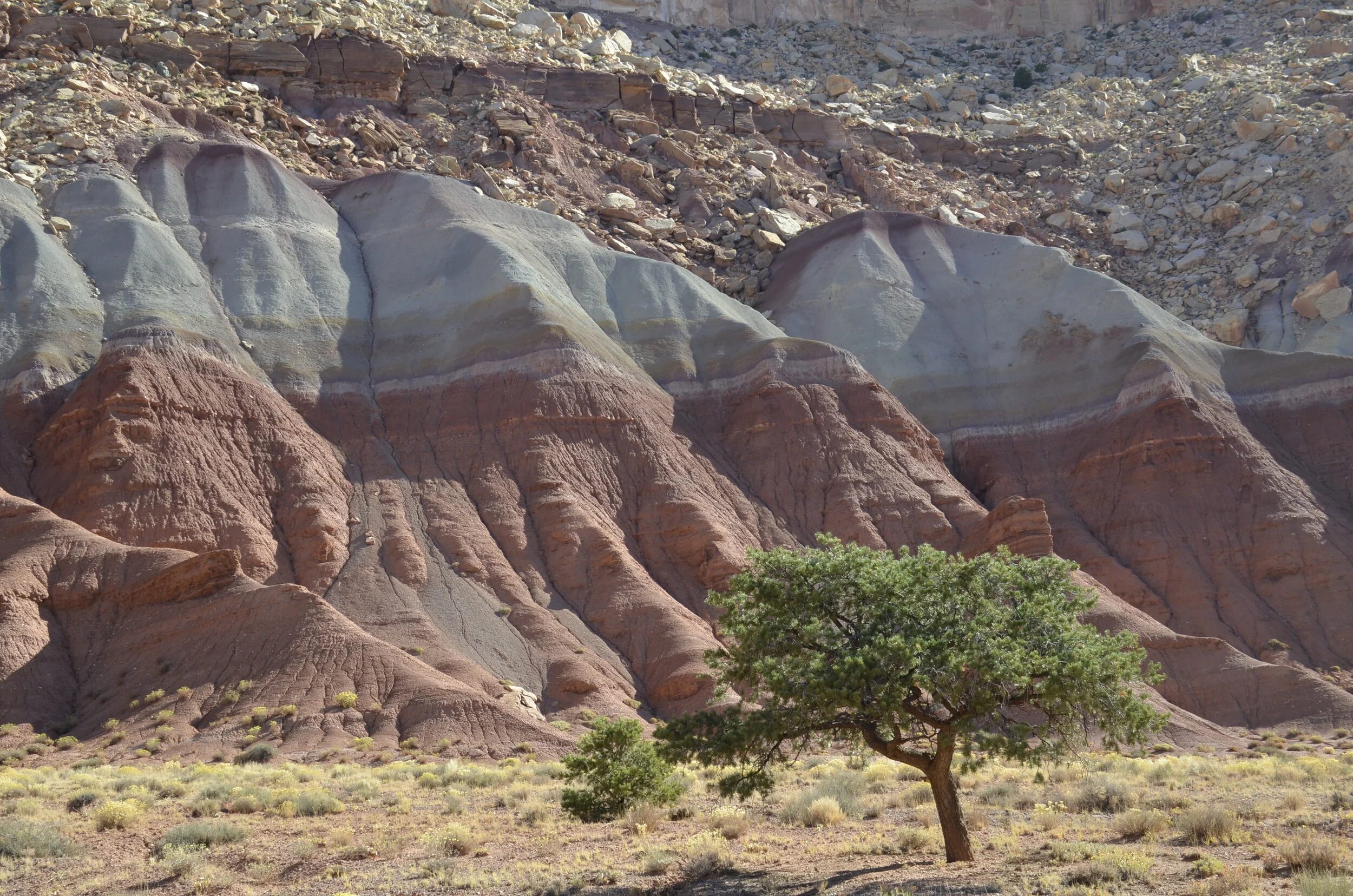
I really liked the purple cap on the blue:
A beautiful wall…
…that led into Capitol Gorge. This dirt road was actually used until 1962 to traverse the park, before the paved state highway 24 was built and made the park much more accessible.
Some “desert varnish” (present on stable rock surfaces, caused by oxidation of iron and manganese) at the top of the walls:
On the road between Capitol Reef and Bryce was Kodachrome Basin State Park. I wanted to check it out, because I had read that the rock formations occurring there are found nowhere else in the world.
They are sedimentary pipes, and there are several theories on how they were formed - which means scientists don’t really know. They may be remnants of ancient springs that became choked with sediment, which cemented together and were more erosion resistant than the surrounding rock.
This one was nicknamed “Big Stoney”. Wanna guess why?
Another unique formation:
A quick reminder - none of my pictures have been enhanced; the colors are really that dramatic.
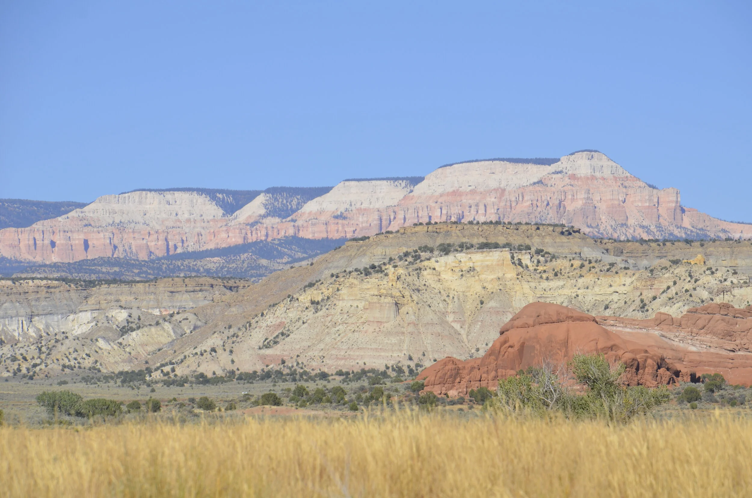
Now, on our way to the next post about Bryce, we must keep driving through this countryside -


