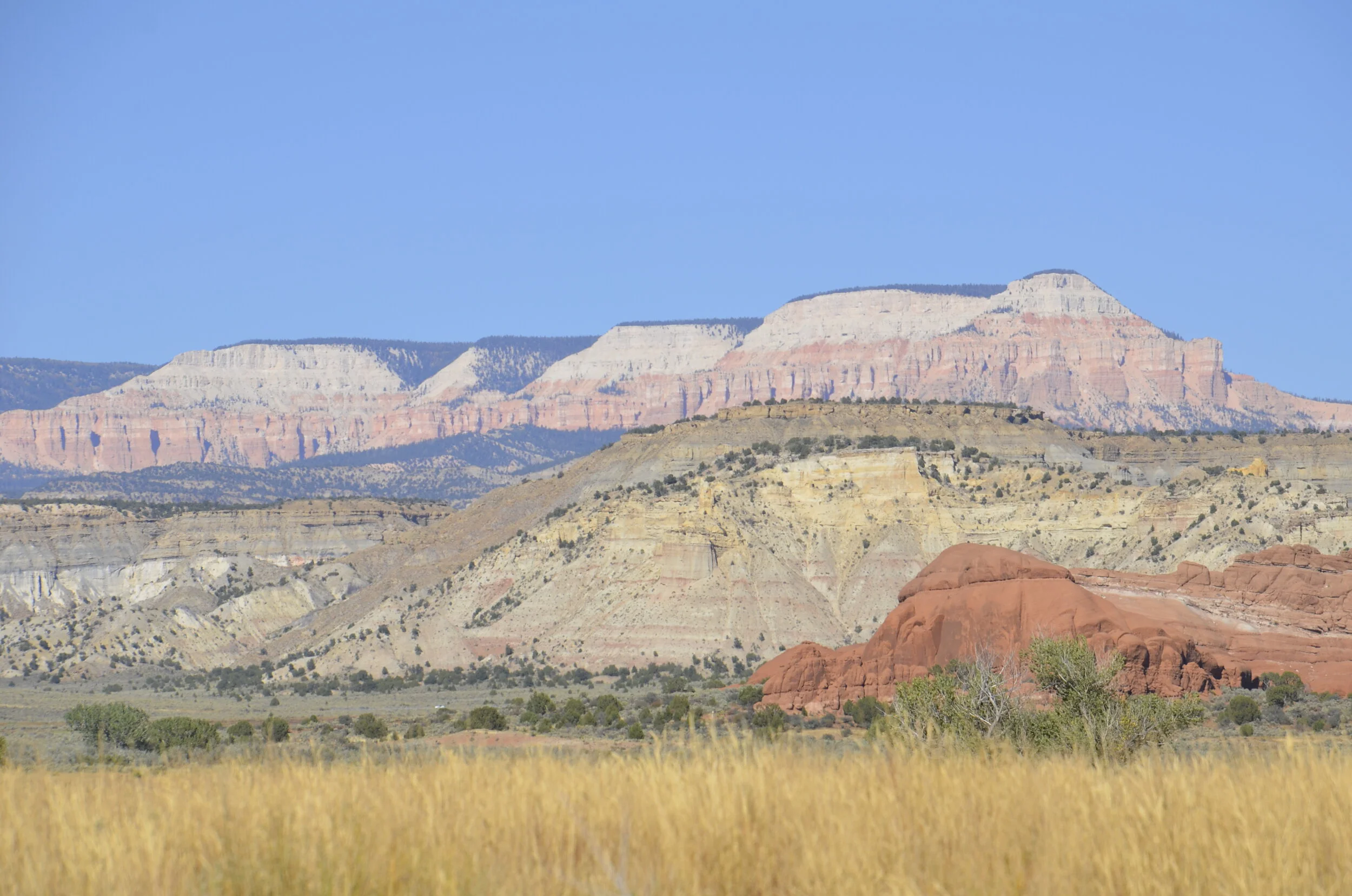
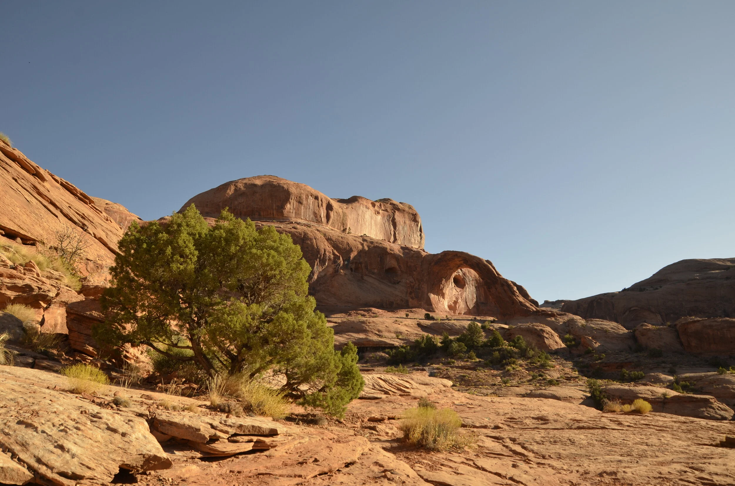
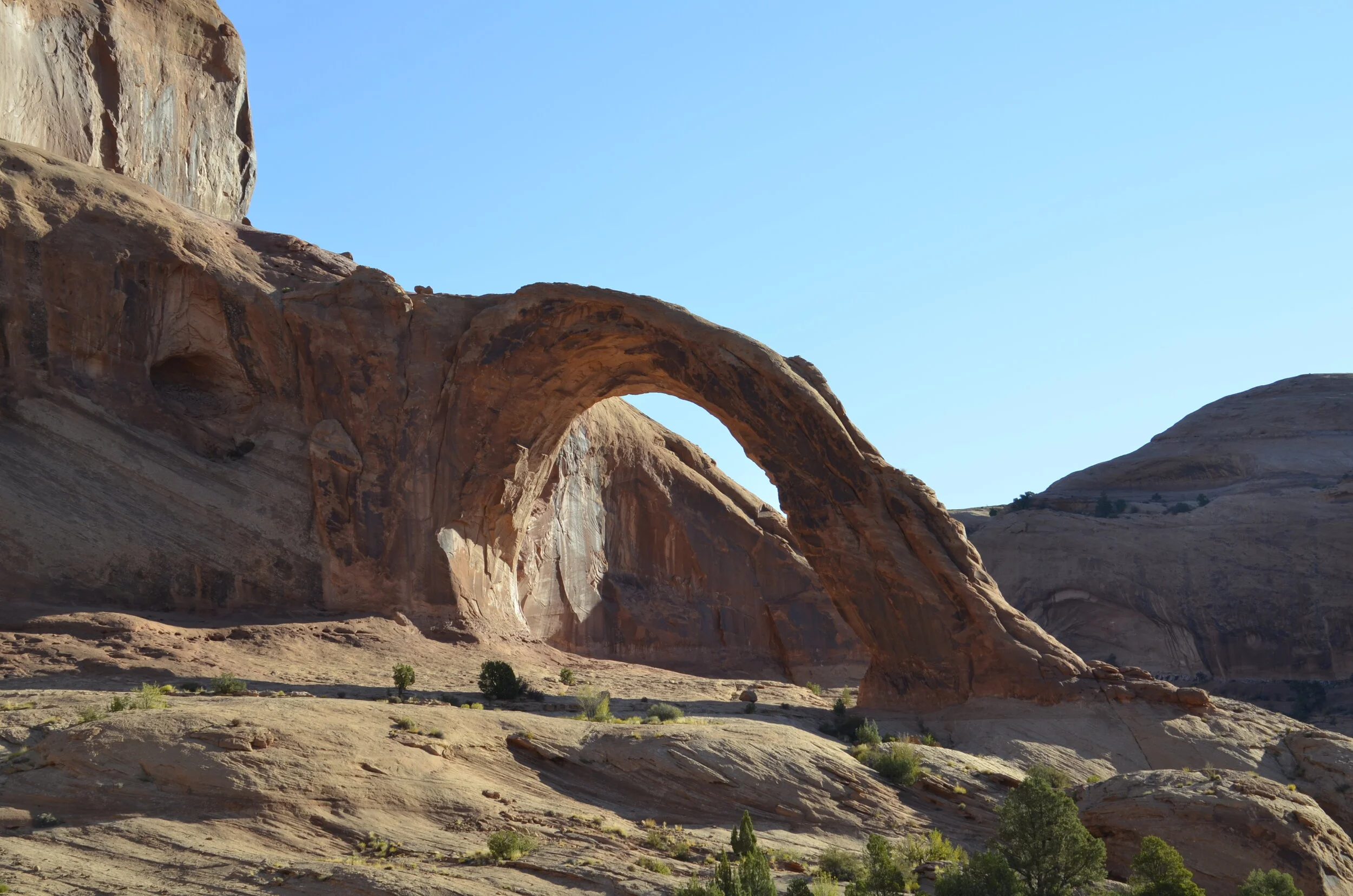
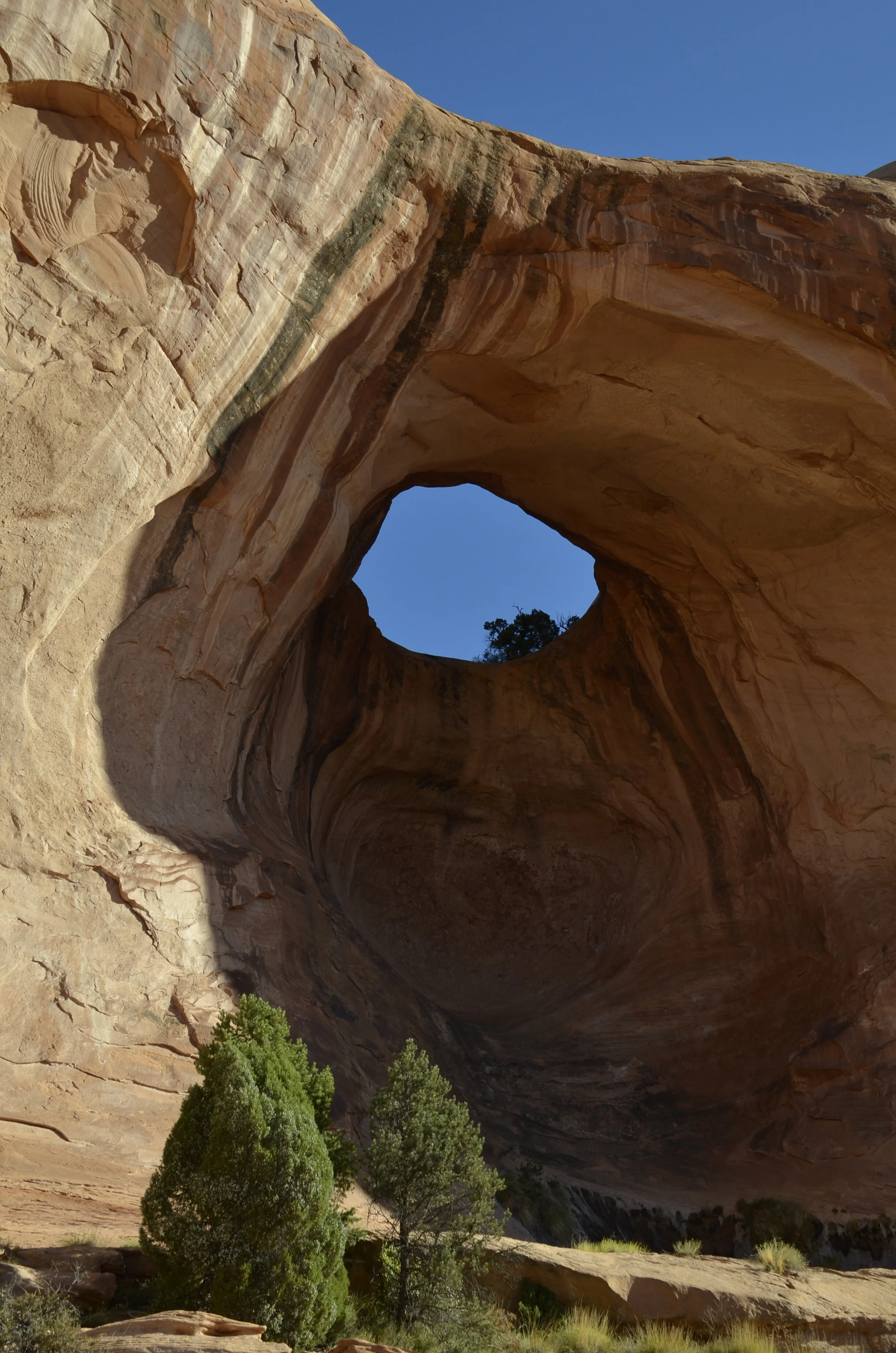
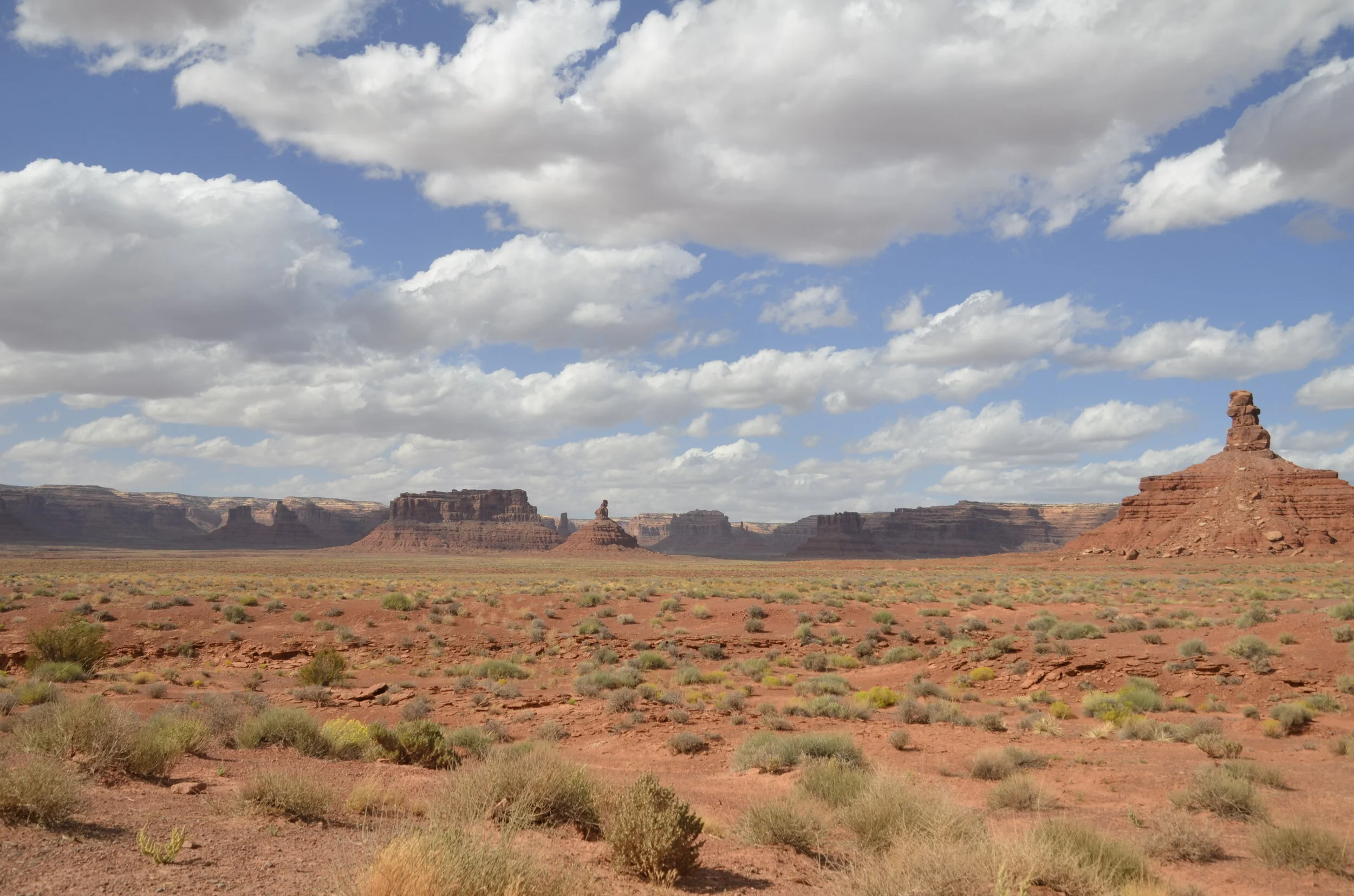
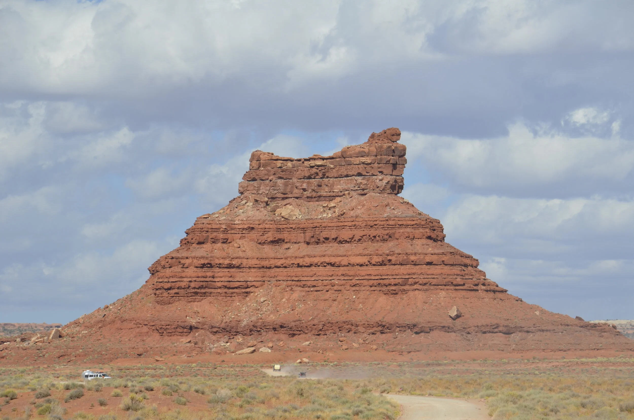
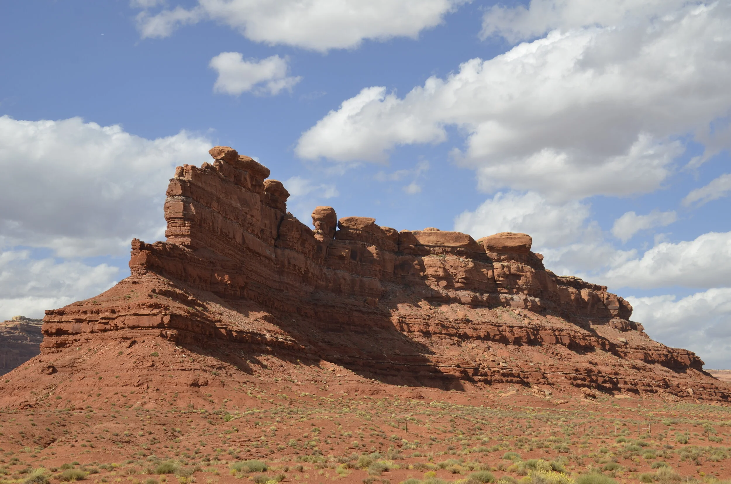
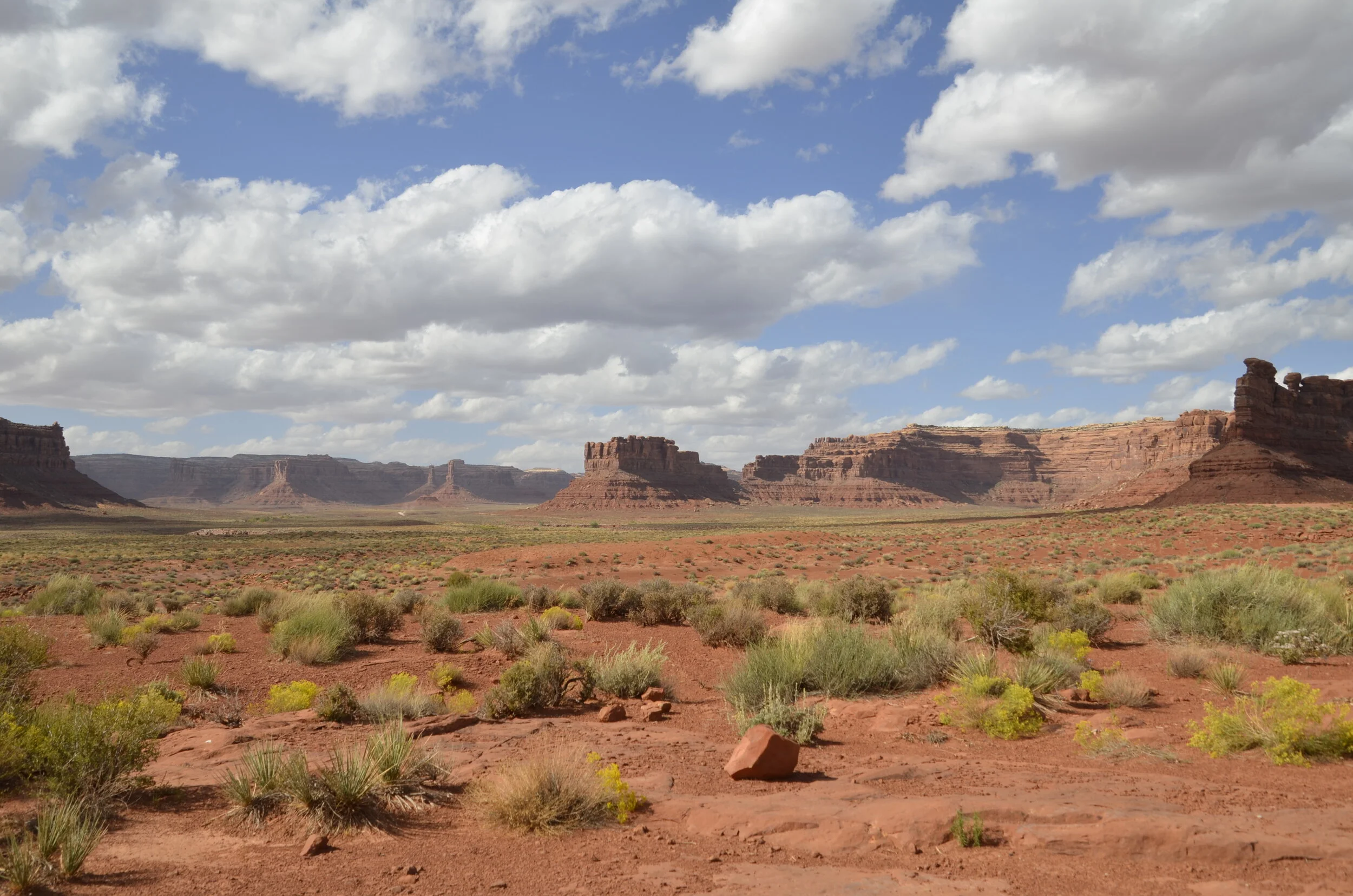
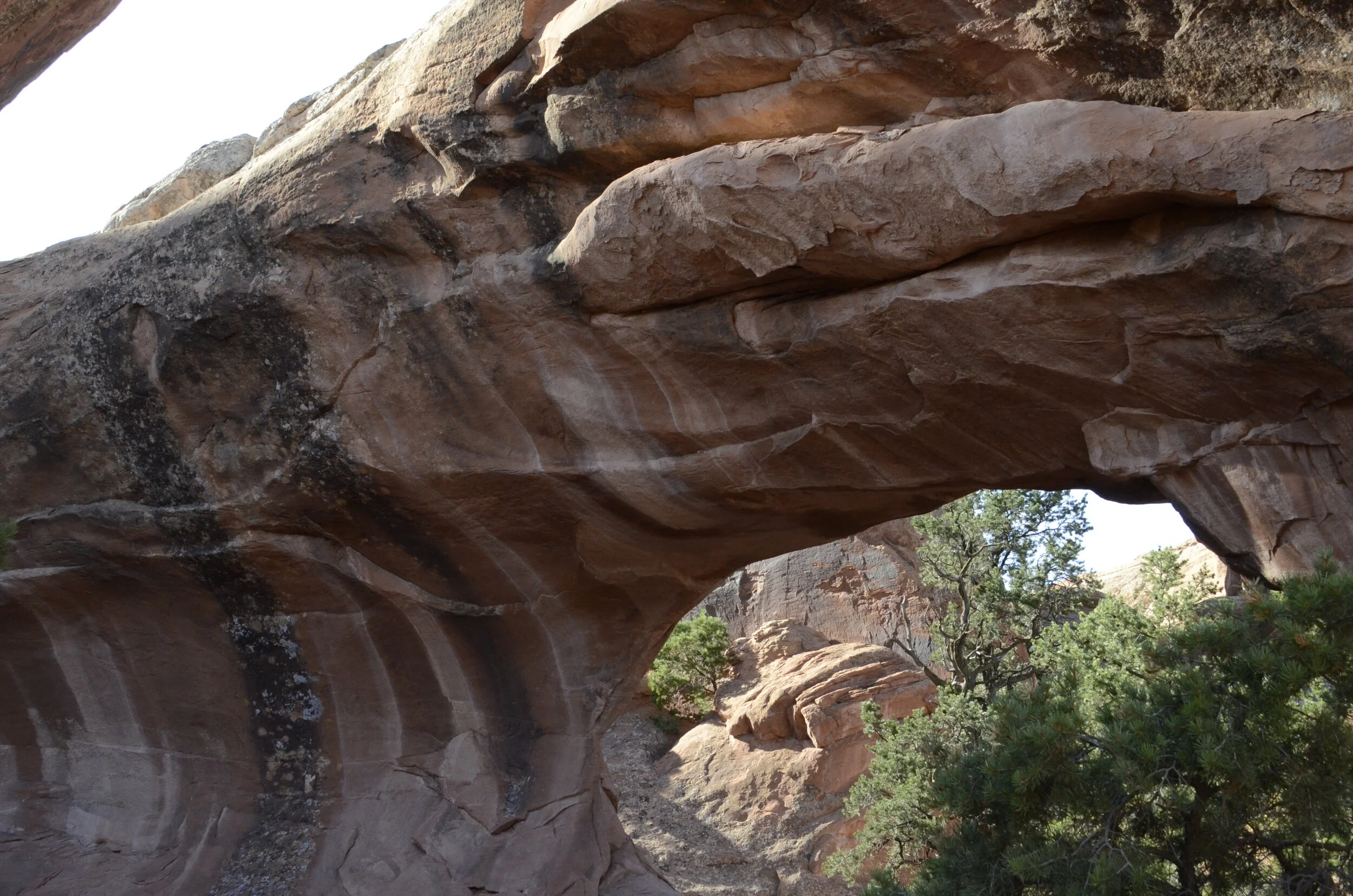
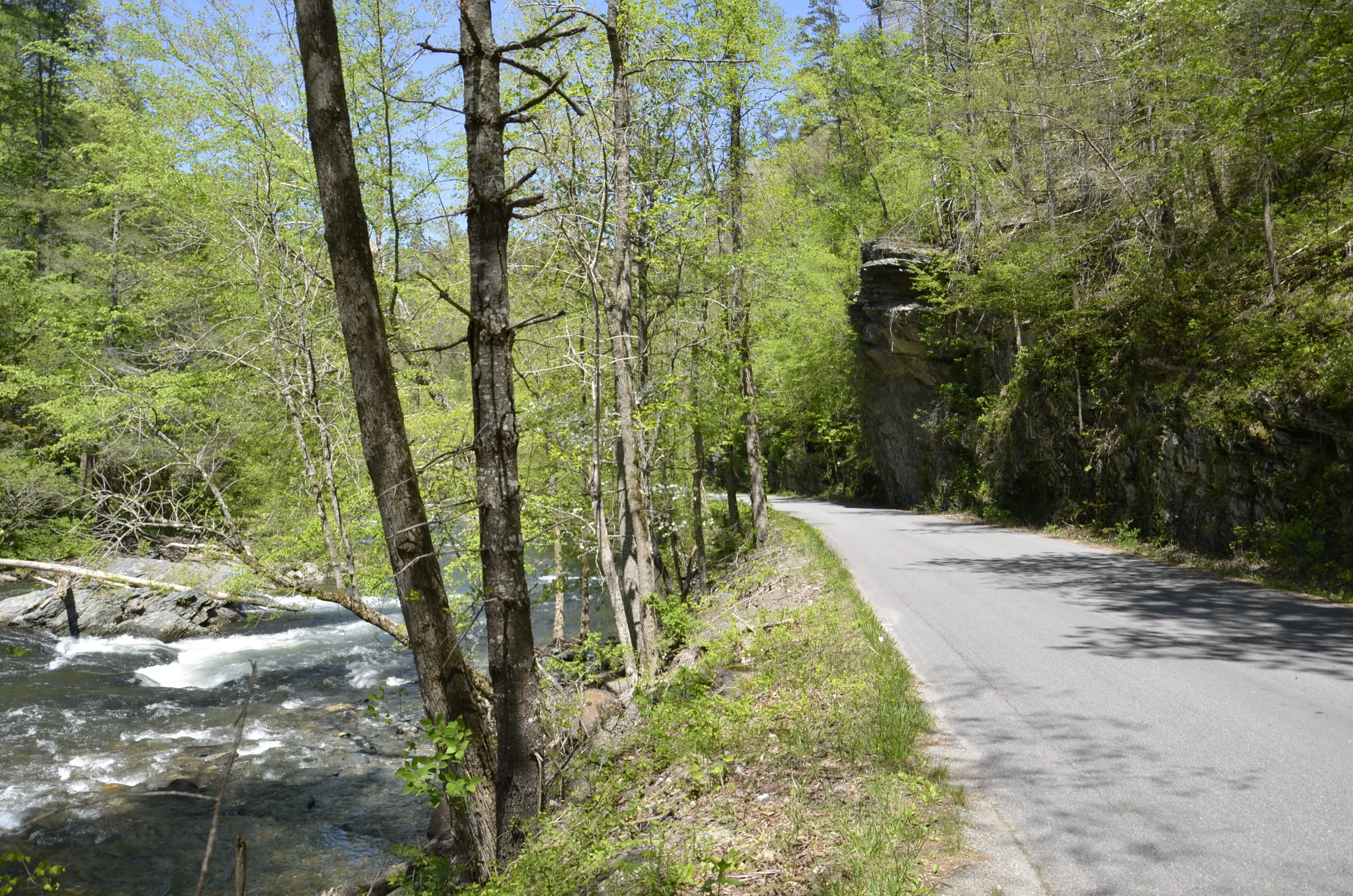
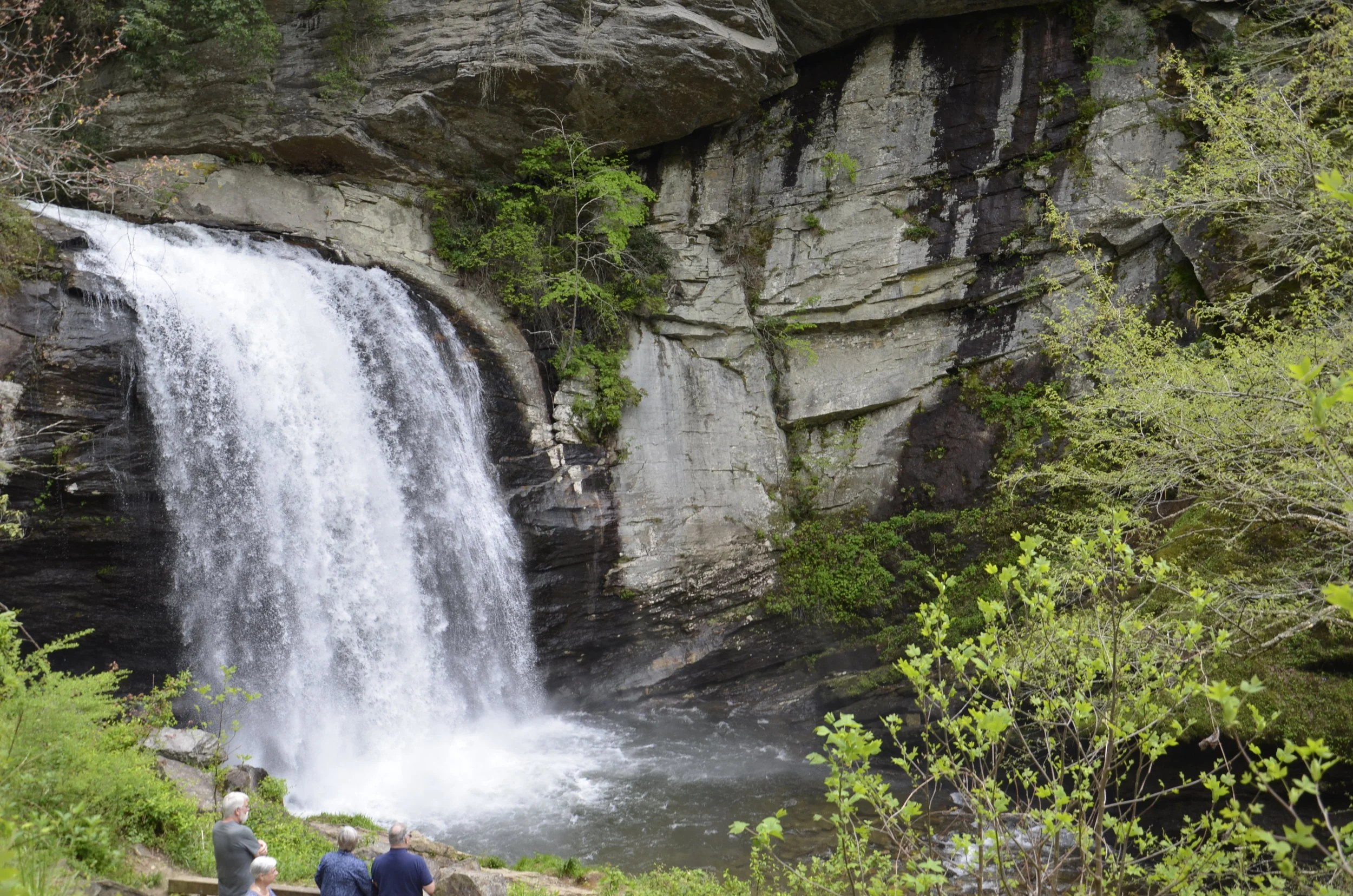
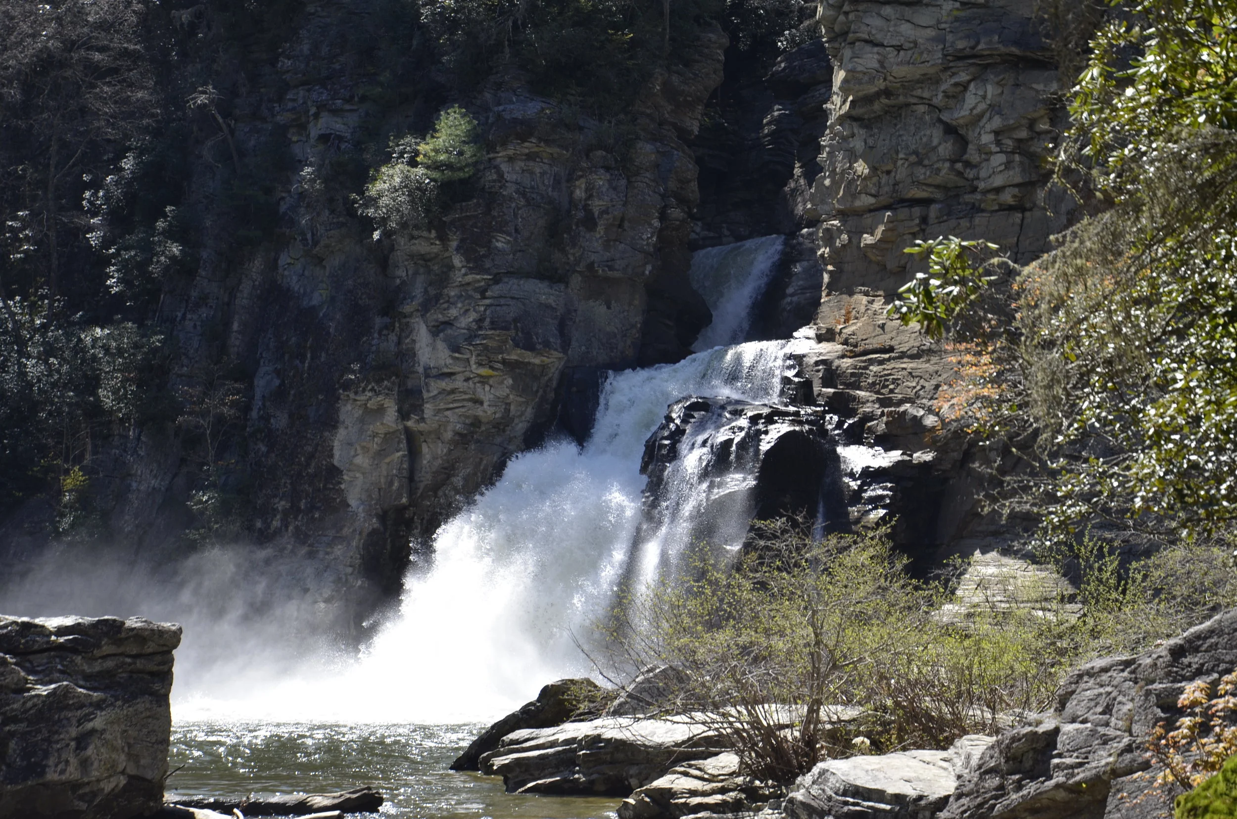
End of an 8,400 mile road trip

That sounds impressive. And 2 weeks of that we only covered 225 miles (by raft). We pretty much beat to death Utah and Arizona. Last year, it was Idaho, Wyoming and New Mexico. At this rate, we may actually cover the US before either of us becomes incapacitated. Here’s to trying!

We’ve set a goal of visiting all 61 National Parks. We started this after falling in love with the unique beauty that was showcased in the ones we visited, and so decided that that was a designation that was worthy of visiting. With just about every one that we’ve been to (28 so far, with 16 on this trip alone!), we’ve been very impressed with the special topography that you can’t find elsewhere. The one exception so far was Hot Springs Nat’l Park in the town of the same name in Arkansas. We can understand maybe making this a National Historical Site, but a National Park? The history of the baths and Bathhouse Row was interesting, and seeing the hot springs that bubble up through town was pretty unique…but…we’d recommend Thermopolis, Wyoming for its free public baths and gorgeous travertine basins and walls. (Head back to the Archives tab if you’re interested in revisiting those sights from last year.)

Because I wanted to end with the best, the layout/timeline of this post is backwards - starting with Hot Springs.

IMG_20191105_103022.jpg

We were so sure that we wouldn’t see anything of note, that we only had Steve’s phone to document our visit (and his incomparable skill at incorporating his finger into a picture).

IMG_20191105_101814.jpg

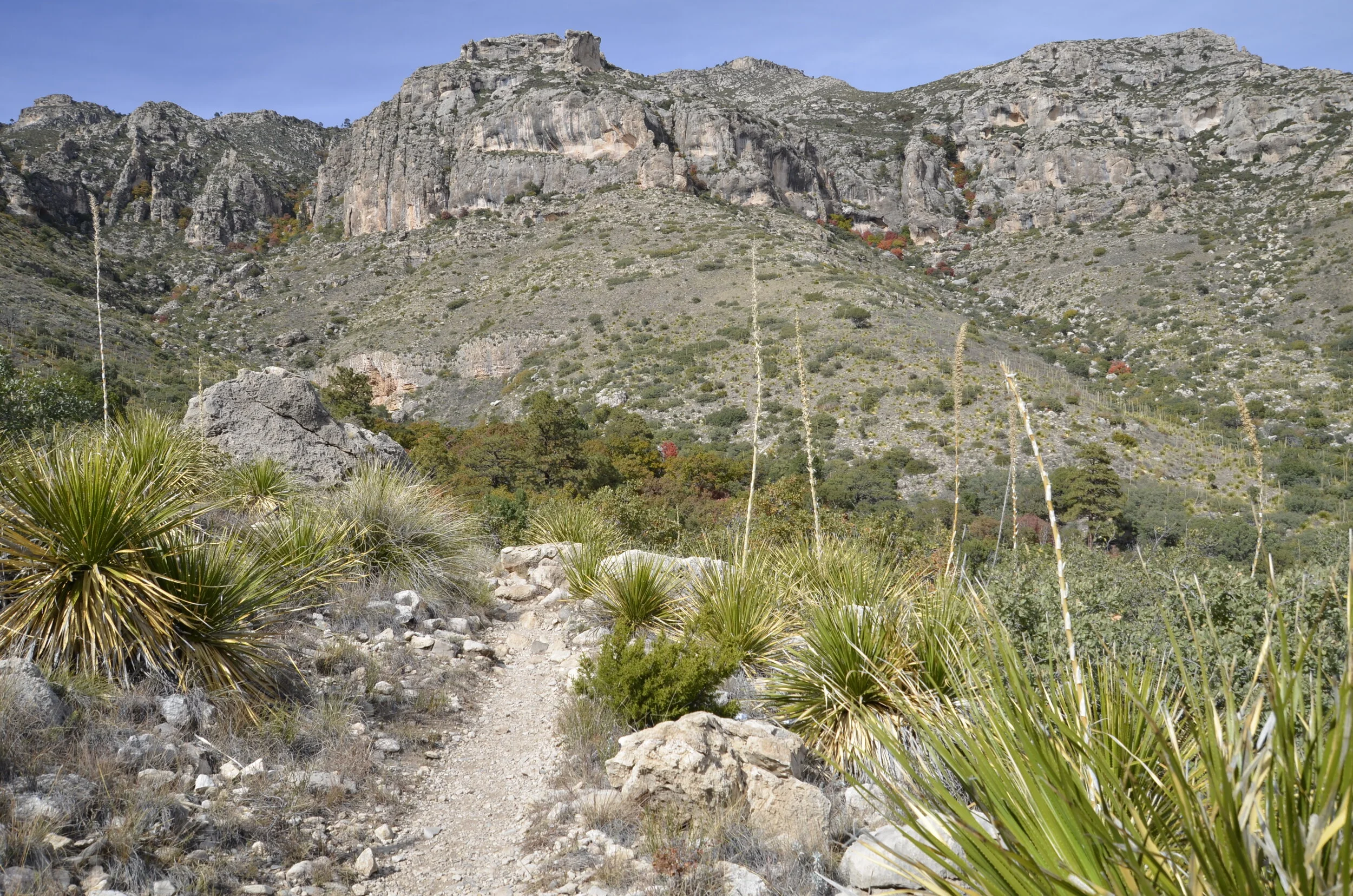
As we came back home through Texas, we visited Guadalupe Mountains National Park. West Texas is really flat and boring, then these mountains pop up.

_DSC9709.JPG

With it being fall, the few maples present gave a brilliant red accent to the surrounding grey-green.

_DSC9731.JPG

We went on a 2-3 mile hike, and were pleasantly surprised with the cool beauty of the oasis tucked up in the valley.

IMG_20191103_121913.jpg

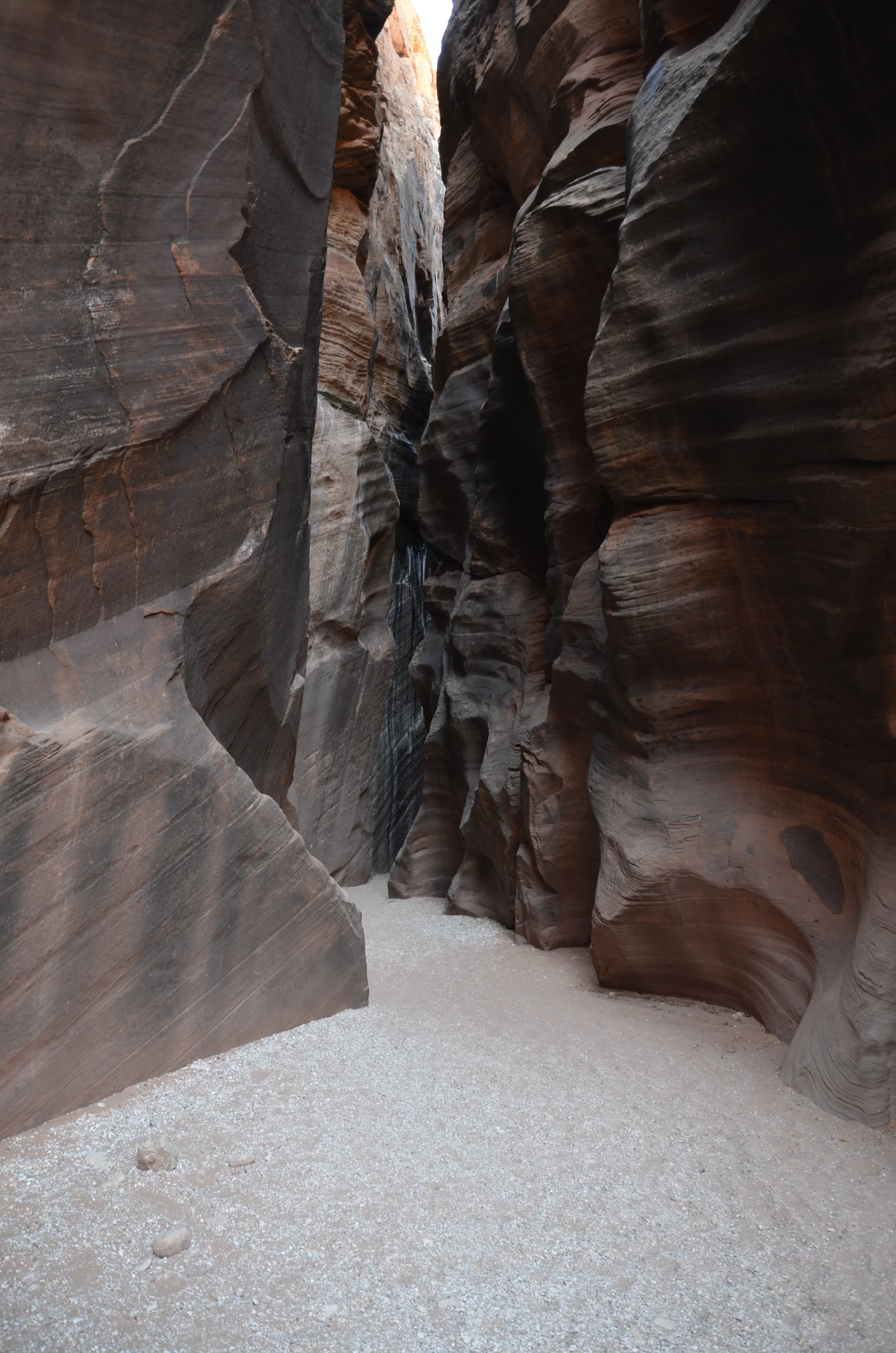
Now for the crowning glory. I had found a slot canyon hike in southern Utah that was open to all, in contrast to Antelope Canyon of Instagram fame. Wire Pass Trail to Buckskin Gulch was reached by an unbelievably rutted 9 mile long dirt road (that we couldn’t drive more than 20 mph and keep our teeth in our head).

_DSC9655.JPG

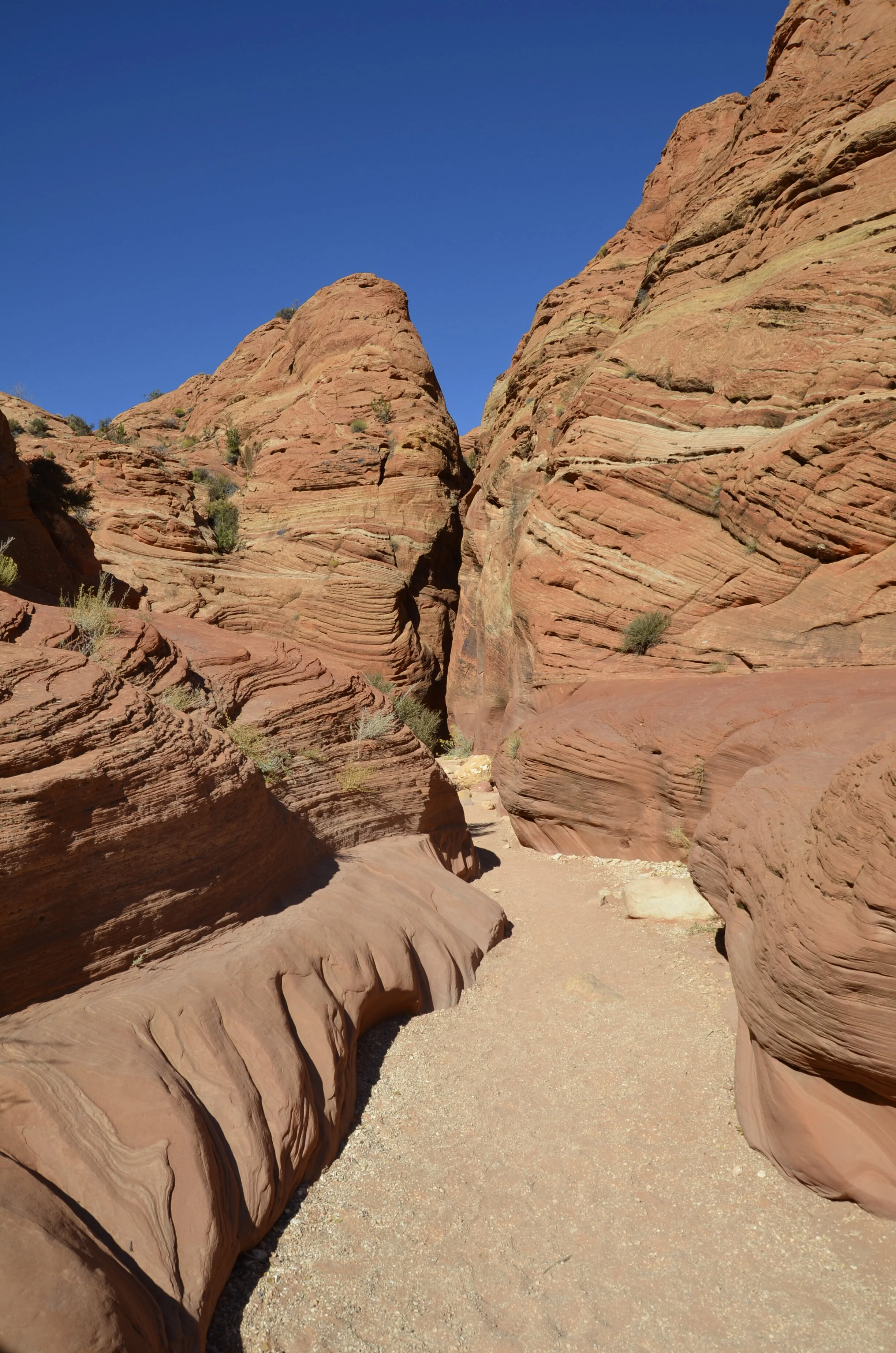
We had to walk over a mile before we even got to the first area of slot canyon, but the scenery was pretty nice along the way -

_DSC9651.JPG

Wire Pass Gulch was narrower, and one of the narrow parts is on the far left of this next picture:

_DSC9638.JPG
_DSC9632.JPG

It was so cool to be able to see and hear birds while in the slot -

We came out of that narrows -

_DSC9582.JPG

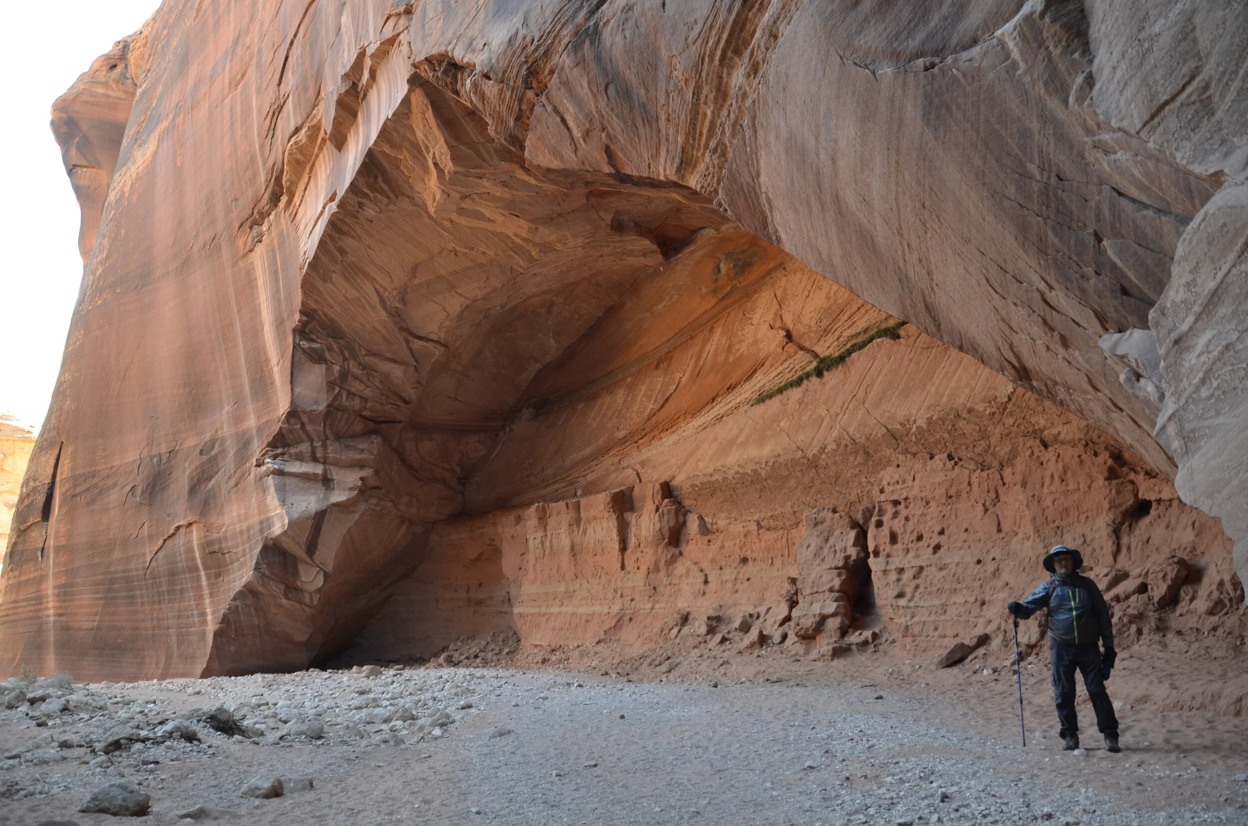
…to this beautiful arch (Steve there for scale, and yes, it was really cold when we set out that morning).

_DSC9583.JPG

Now on to Buckskin Gulch -

_DSC9599.JPG

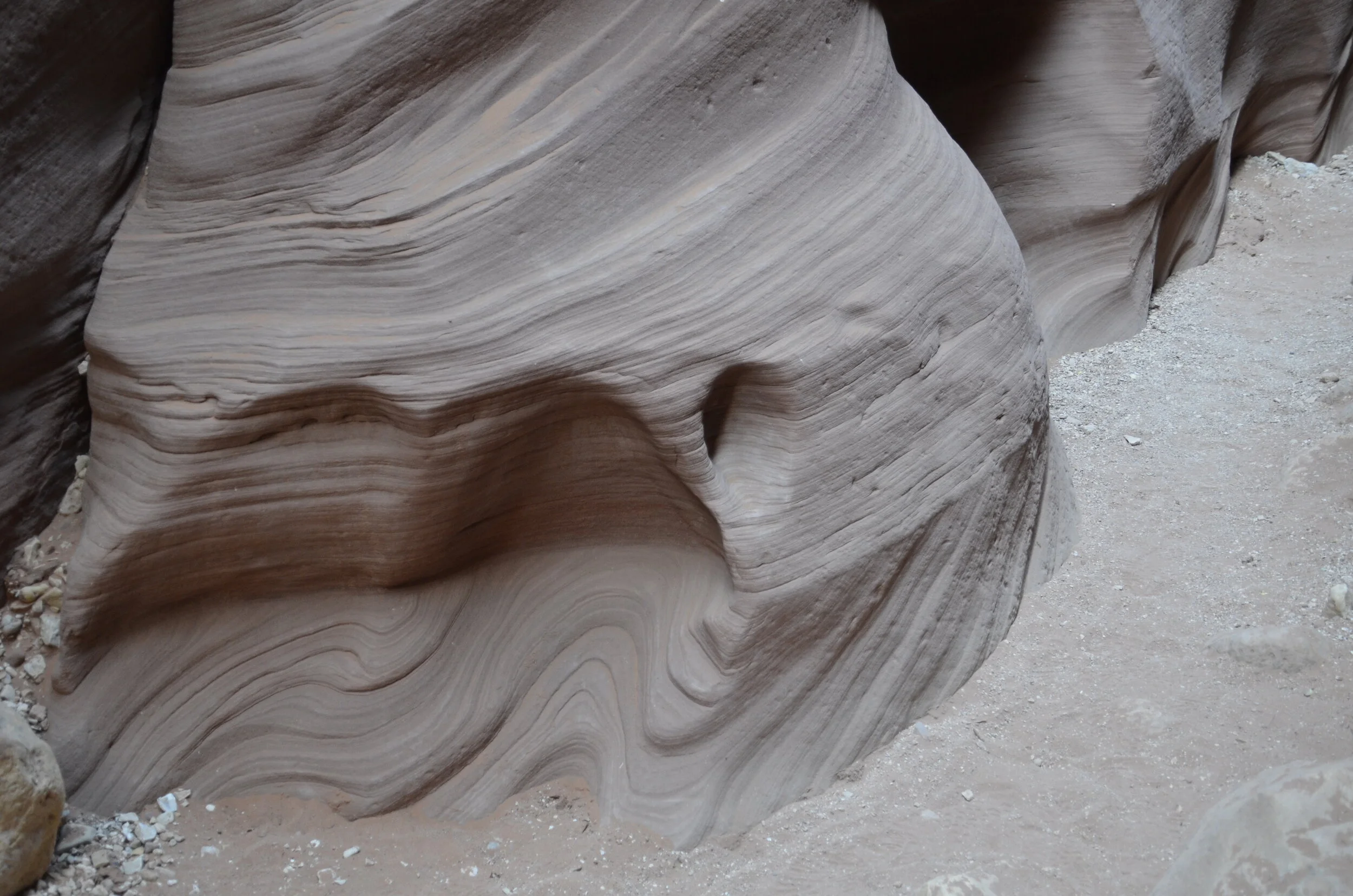
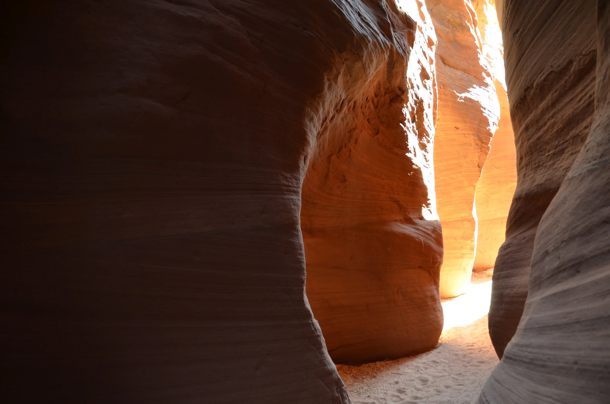
It was really hard to get good pictures because of the light. Most of the time, there was very little, so I’d focus on details…

_DSC9604.JPG

…because the next shot would be “blown out” with too much light -

_DSC9597.JPG

…but you could still see the cool contrasts. Buckskin Gulch had much taller walls than Wire Pass…

IMG_20191101_110335.jpg

…and Steve had some difficulty with the uneven footing and stepping over rocks. As we headed back -

IMG_20191101_115206.jpg

…we came back out into a wide spot in Wire Pass Gulch.

_DSC9625.JPG

I’ll end this post and this extended treatise of our rambles with my favorite slot canyon picture -

_DSC9634.JPG

Zion National Park

It was fascinating to us to see that southern Utah (as “small” as it is) has 5 National Parks, and they are quite distinct from one another in topography.

We drove in from the east on Utah State Hwy 9, and were blown away by the colors in the sandstone and the afternoon light.

_DSC9344.JPG

The hills and formations were massive.

_DSC9355.JPG
_DSC9359.JPG

The pink striations were widespread and gorgeous.

_DSC9362.JPG

We stayed in the little town of Springdale (pop. 692) that sits just outside of the park. This was our view from the deck at our B&B:

_DSC9363.JPG

I just love the “Golden Hour” -

_DSC9366.JPG

The weather really changed from when we were deep in the Grand Canyon. Sunrise here wasn’t until after 0700, and it was almost pitch black until right before the sun cleared the hills. Temperatures had plummeted, and were below 30 in the morning! Needless to say, we didn’t walk to the shuttle in town to try to get sunrise pictures.

This park is centered around Zion Canyon, and as such, there’s little area to allow parking. So, until Nov. 1, there’s no entrance into the park other than by shuttle buses. This was so different than all the other parks we’d been exploring. So, the first day there, we rode the buses into the canyon and explored the various stops and took short hikes. At the far end of the canyon was the Riverside Walk trail.

_DSC9373.JPG

This was so much more lush and green (albeit with fall colors showing up) than the area just outside the park that is desert scrub.

Along the path, we could easily see where the water seeped through:

_DSC9374.JPG

At the end of this trail, you could continue on into The Narrows…

_DSC9385.JPG

…but I didn’t feel like renting a drysuit, complete with boots, to wade through the river as far back as you’d want to go.

_DSC9391.JPG

So, we headed back down the canyon -

_DSC9398.JPG

…and were treated to an adolescent California Condor across the canyon:

(you can blow up the picture, but i apologize for the blurriness - this was shot on the fly, at the farthest zoom I could)

(you can blow up the picture, but i apologize for the blurriness - this was shot on the fly, at the farthest zoom I could)

I loved the contrasting colors -

_DSC9451.JPG
_DSC9458.JPG
those are full size pine trees, for scale

those are full size pine trees, for scale

The second day started at 20 F, but I was determined to hike Angel’s Landing. This has been variously described as “the scariest hike in America” to “one of the most dangerous hikes in the world”. Steve was still coddling his ankle, so he justifiably didn’t want to attempt it. The first 2 miles is paved, but it is relentlessly up -

_DSC9467.JPG

The switchbacks of Walter’s Wiggles continue the upward climb, but steeper:

_DSC9482.JPG

As noted before, the people in both of the preceding pictures give scale.

From Scout’s Landing, at the 2 mile mark up the trail, the view was pretty awesome -

see the shuttle bus waaayyyy down there?

see the shuttle bus waaayyyy down there?

I loved the mix of vertical and horizontal lines of color and rock scouring -

_DSC9493.JPG

The last 1/2 mile used chains:

_DSC9494.JPG

Yes, that’s where I hiked:

_DSC9496.JPG
_DSC9498.JPG

It was both scary and exhilarating. As long as I told myself to concentrate on the area right in front of me, and not look down while I was walking, I did fine, and felt like I was walking on fairly flat ground (ignoring the thousands of feet drop on either side).

At this point, I thought, “I made it"!”…

_DSC9500.JPG

…then I looked around the corner -

_DSC9502.JPG

Finally!

_DSC9503.JPG
_DSC9507.JPG

At 1500 ft above the canyon, the view is pretty mind blowing.

_DSC9508.JPG

This gave me such an amazing sense of personal accomplishment. I wanted to jump up and down and scream, but I was too nervous.

On the way down, I could enjoy the views of the canyon that I had trudged by earlier -

_DSC9518.JPG

Where I came from:

enlarge it and see the teeny-tiny people

enlarge it and see the teeny-tiny people

I found a video on YouTube that shows what it’s like to hike to Angel’s Landing (definitely not for the faint of heart) - https://www.youtube.com/watch?v=jy6K0KoMrco , for those who might be interested.

On our way out of the park the next morning, we hiked to Inspiration Point, for some more amazing views:

_DSC9539.JPG
_DSC9540.JPG

And back on Highway 9…

_DSC9557.JPG

…I was loving the colors and sandstone swirls.

_DSC9553.JPG

Just a quick mention of Coral Pink Sand Dunes State Park. Since we were driving by it on our way to the slot canyon hike, we stopped in.

_DSC9562.JPG

I’ll close with one of my favorite shots - wind caused the grass to draw feathers in the sand.

_DSC9561.JPG

How could I forget?!

I specifically shot this video to let you see and hear the peacefulness of floating on the Colorado River deep in the Grand Canyon.

I guess I was so focused on getting out the blogs, and making sure the best stills were included that I completely blanked on the videos I have.

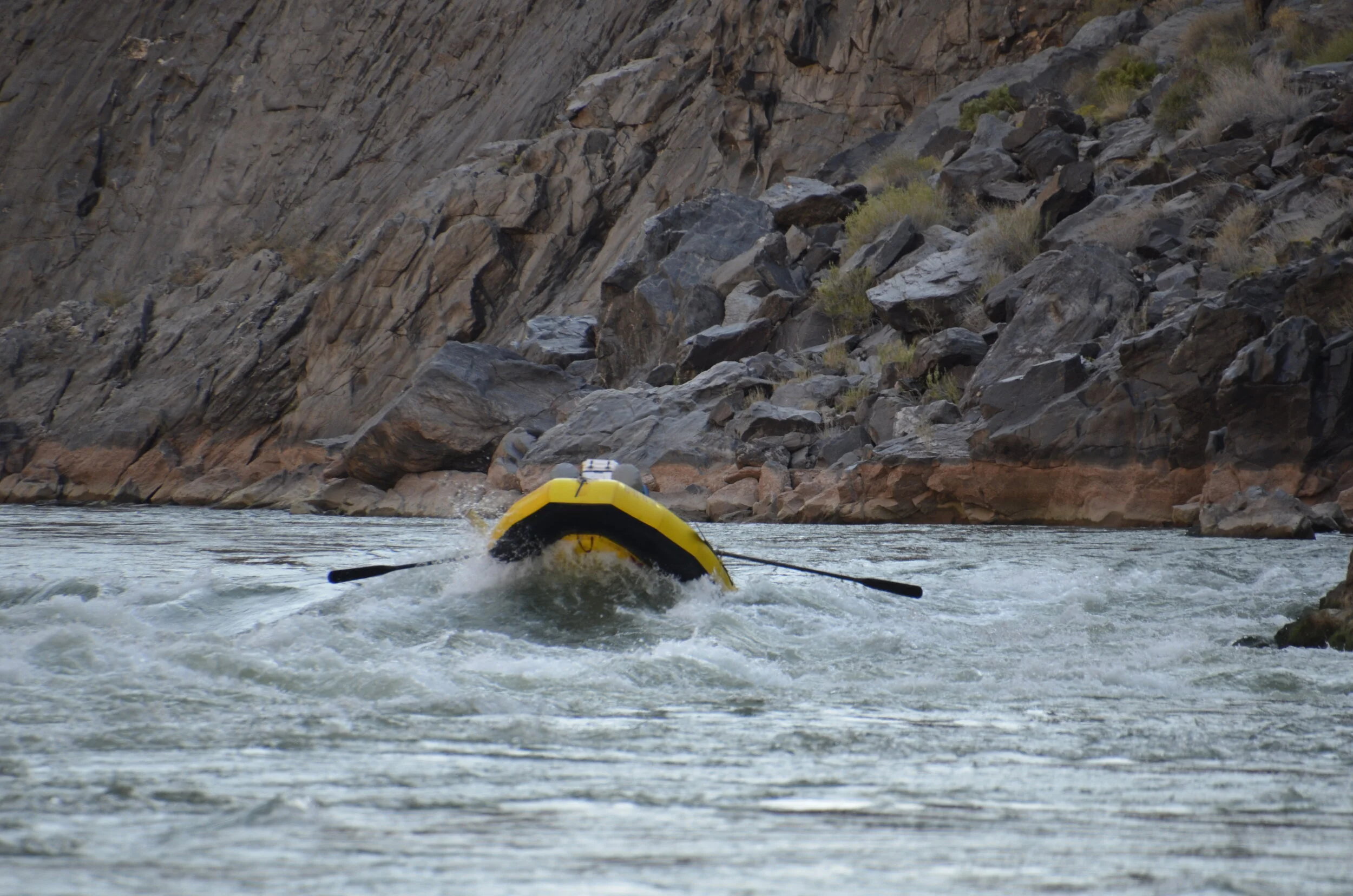
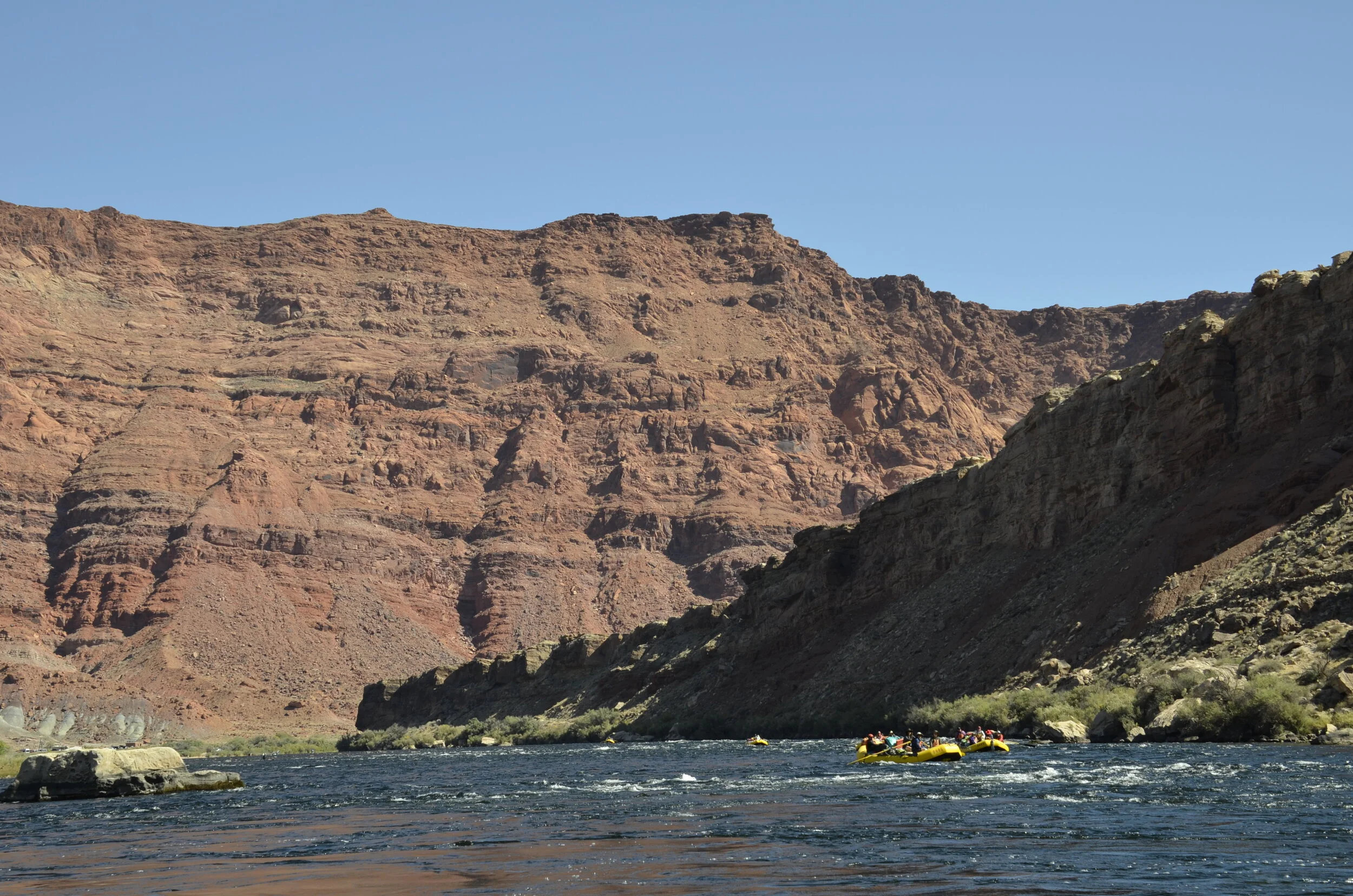
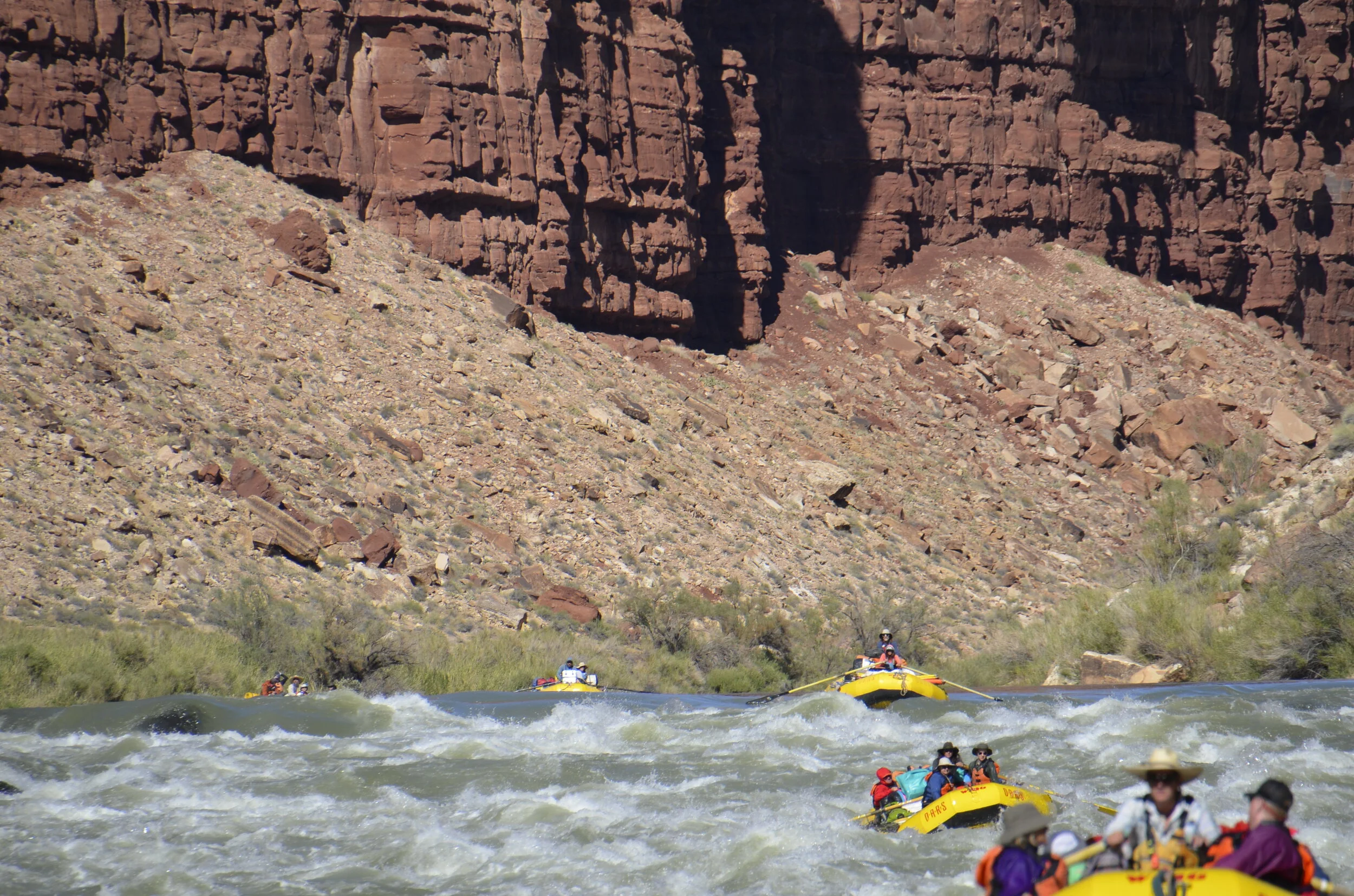
That was just a “riffle” (so no splashing on my camera) to let you see and feel the speed pick up, before watching the next short bit from the infamous Lava Falls. Unfortunately, the first 3 boats with passengers that went through were out of focus, and I couldn’t fix it while I was filming. (I’m definitely cut out for still photography) This raft is one of the gear boats that is super heavy and loaded down, and doesn’t carry passengers -

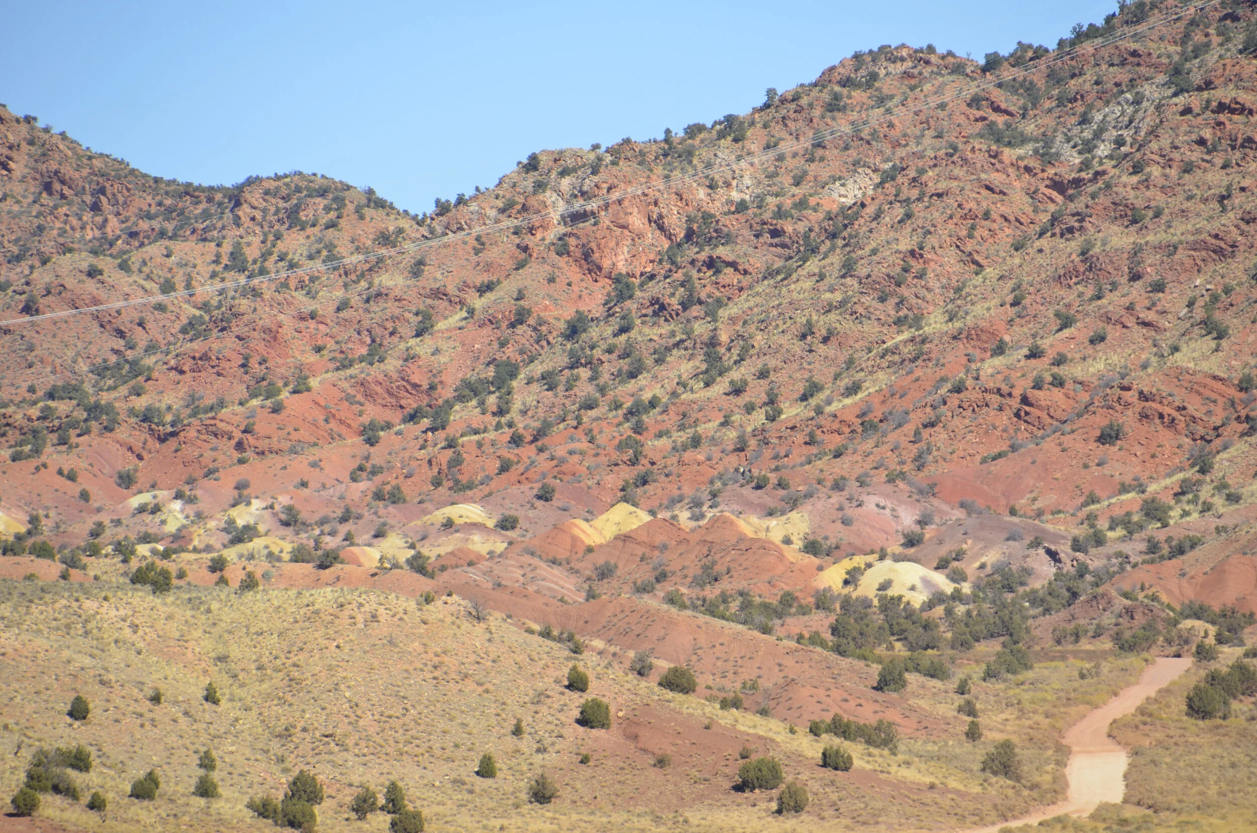
After we left the river, we drove by the Vermillion Cliffs. That crack in the ground at the bottom of the picture is actually the beginning of the Grand Canyon.

_DSC9320.JPG

The cliffs are hazy because they are miles away, and we had to be that far back to get it all in. Those cliffs are nearly 3,000 ft high! I just love the color variations in the layers.

_DSC9322.JPG

We were on our way to the North Rim of the Grand Canyon. We wanted to see it from that perspective, after just having seen it from the depths. I was kinda disappointed (but maybe it was the light or time of day). I don’t know if you remember me saying, but the river does run closer to the South Rim — so much so that you can’t see the river from the North Rim.

_DSC9333.JPG
_DSC9335.JPG

After we visited Utah again (next post, I promise), we retraced our route back to the Grand Canyon, this time stopping at the South Rim. We actually only went to the Desert View Watchtower, as we wanted to avoid the crowds near the main visitor center. We had seen the Watchtower from the river, so we wanted to see the same area from a different viewpoint. {As an interesting side note, we ran into one of our fellow river travelers there! And this was just about a week after we got off the river.}

_DSC9659.JPG

Again, these views disappointed us. I guess after spending so much time getting up close and personal, this big-picture view left us cold.

The canyon that you can just see at the very top of the next picture is the Little Colorado entering the main Colorado. (Remember that turquoise blue stream that we floated down its little rapids?)

_DSC9662.JPG

I’ll close this quick post with a scrub jay, whose brilliant blue color just made me smile.

_DSC9667 Woodhouse's Scrub Jay.JPG

Last Grand Canyon post

Awwww….really? All good things must come to an end. Most of you are probably saying “it’s about time!” right about now. I wanted to give a shout out to the great company OARS that organized this trip, and the awesome guides who kept us safe, well fed and as comfortable as you can be camping beside a river. We can highly recommend this organization for just about any river trip you’d want to take. Yes, they’re pricey, but literally everything is provided, and lets those non-campers experience true wilderness without having to buy the gear.

Overall, we felt 16 days was about 4 days too long. We definitely wanted to raft the entire Grand Canyon, but the last few days had lots of flat water, interrupted by only a few big rapids. If pressed, I’d recommend rafting the upper half of the Canyon for a week long trip. Pros: getting to see the various rock layers coming in at river level, and rising in height as you descend the river (this still was the highlight of the trip for me, because it was so unique); “Roaring Twenties” series of rapids in the 20’s mile markers, occurring about every half mile; numerous side canyons for hiking. Cons: hiking out (or riding a mule) at Phantom Ranch; missing some really big rapids (starting just below the ranch); missing the majority of the big waterfalls. You could do the lower half of the Canyon to get the big rapids and waterfalls; you’d hike down to Phantom Ranch; but the last half of your trip gets really slow. Knowing what we do now, I’m really glad we were able to do the entire thing, for all those varied experiences.

Enough chatter! On with the pictures -

_DSC9175.JPG

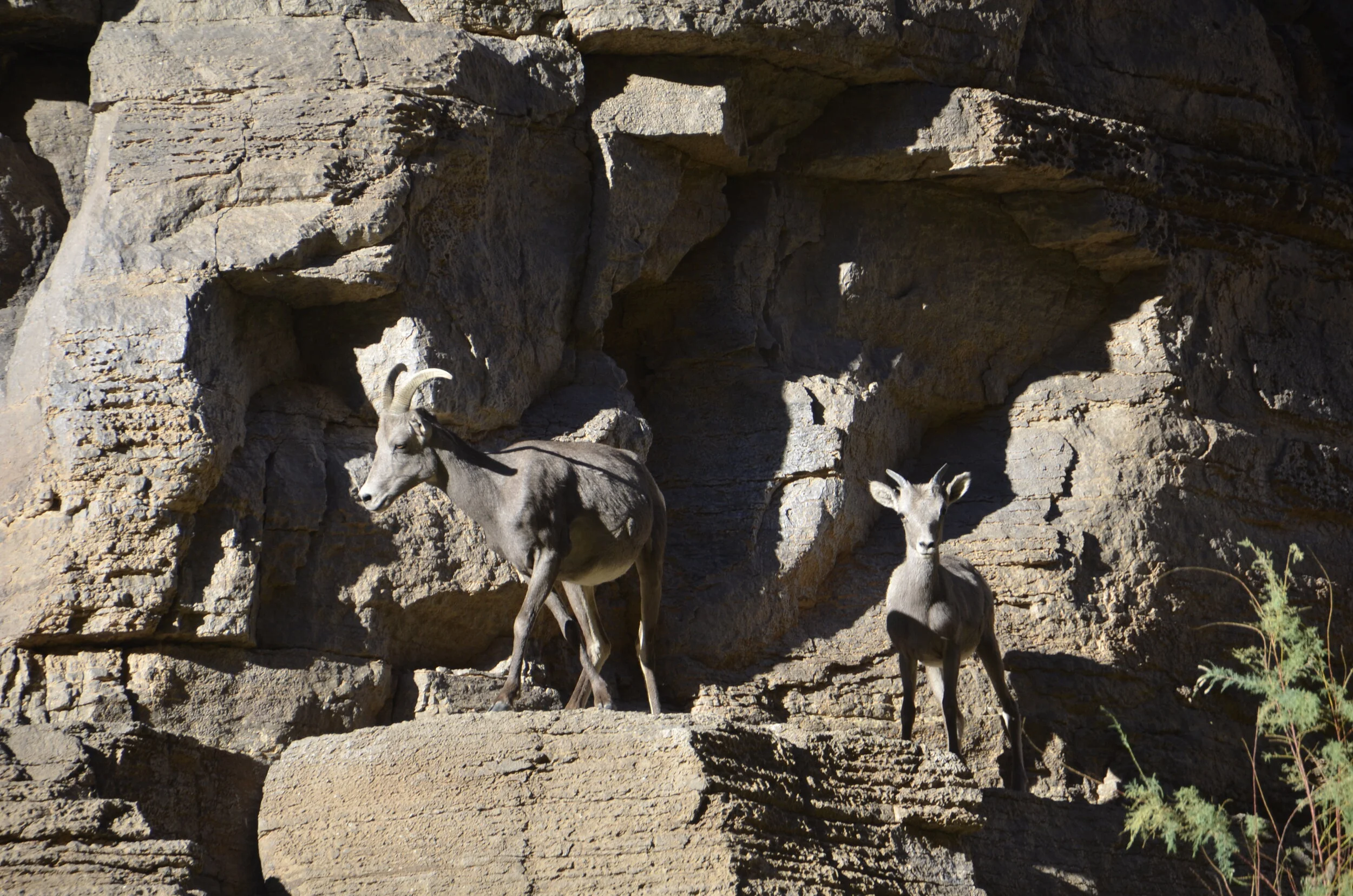
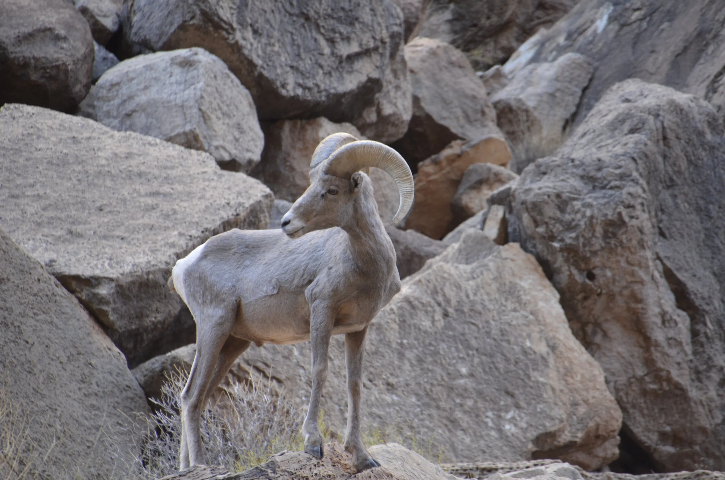
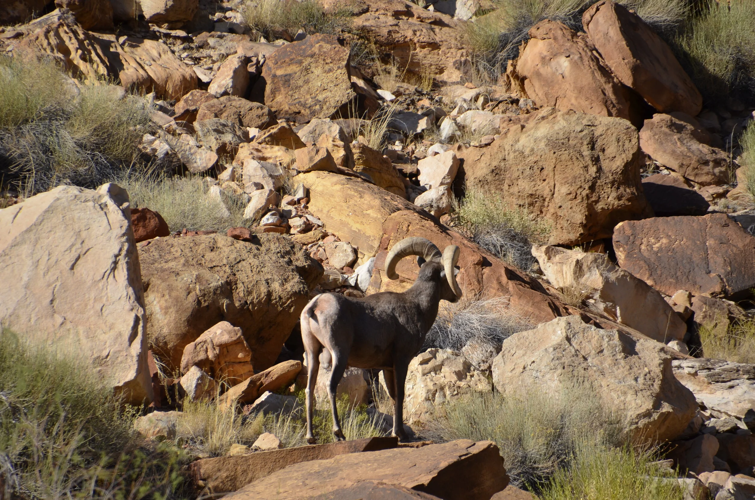
The next morning we were greeted by this young male (check out how thick the base of his horns are compared to the female in the next picture) and his little family.

_DSC9176.JPG

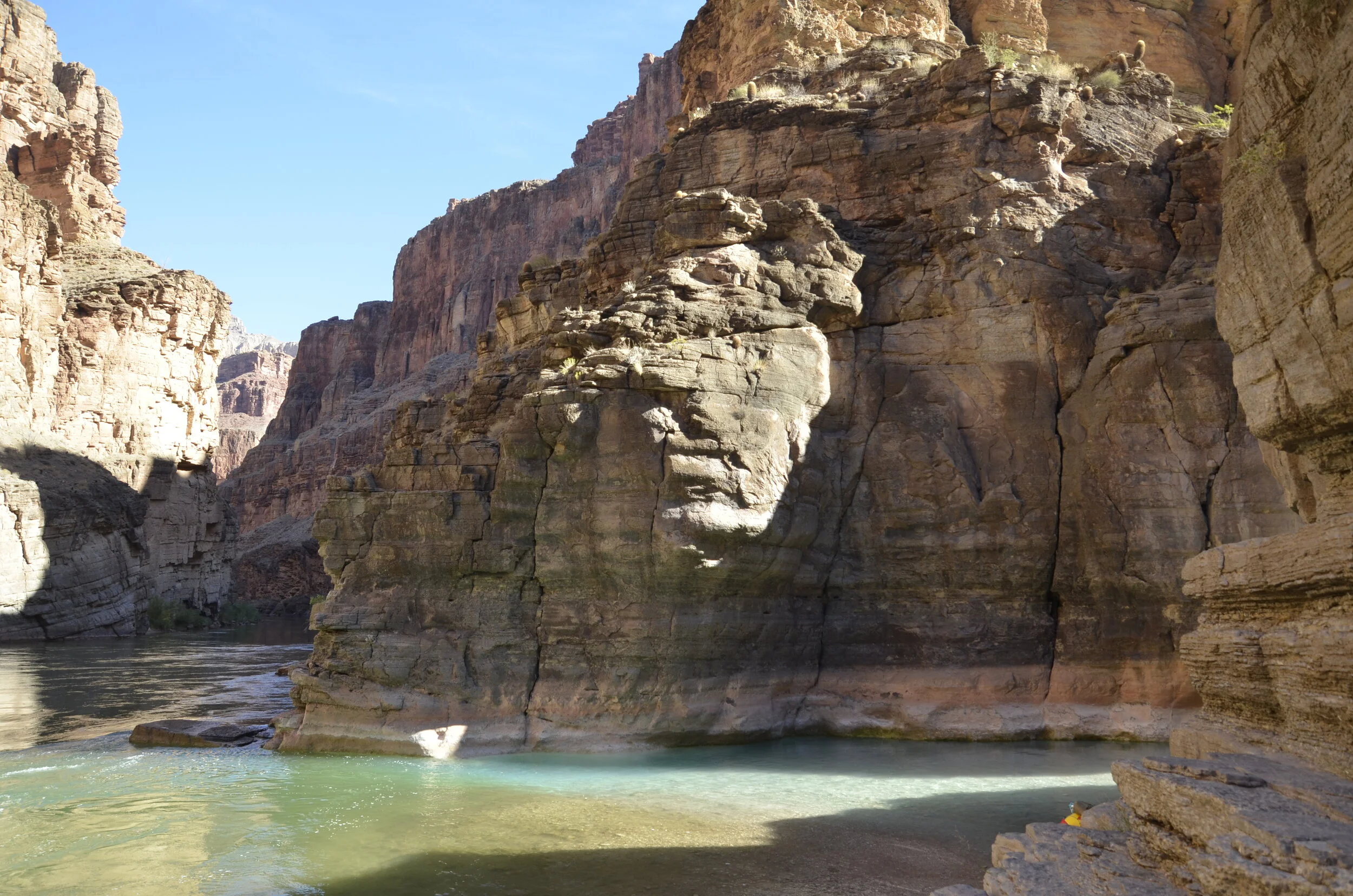
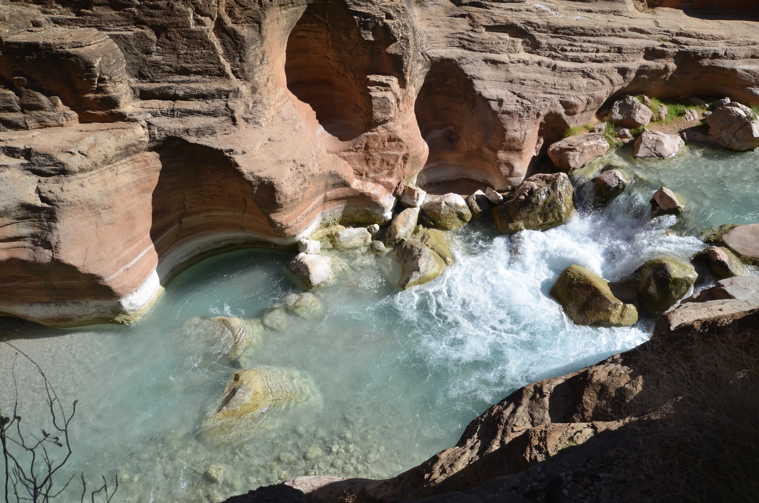
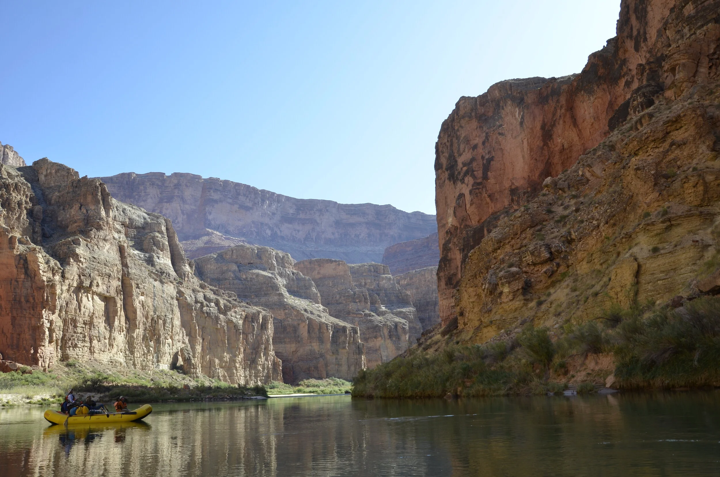
We then stopped at Havasu Creek (another brilliant turquoise tributary) -

_DSC9193.JPG
_DSC9200.JPG

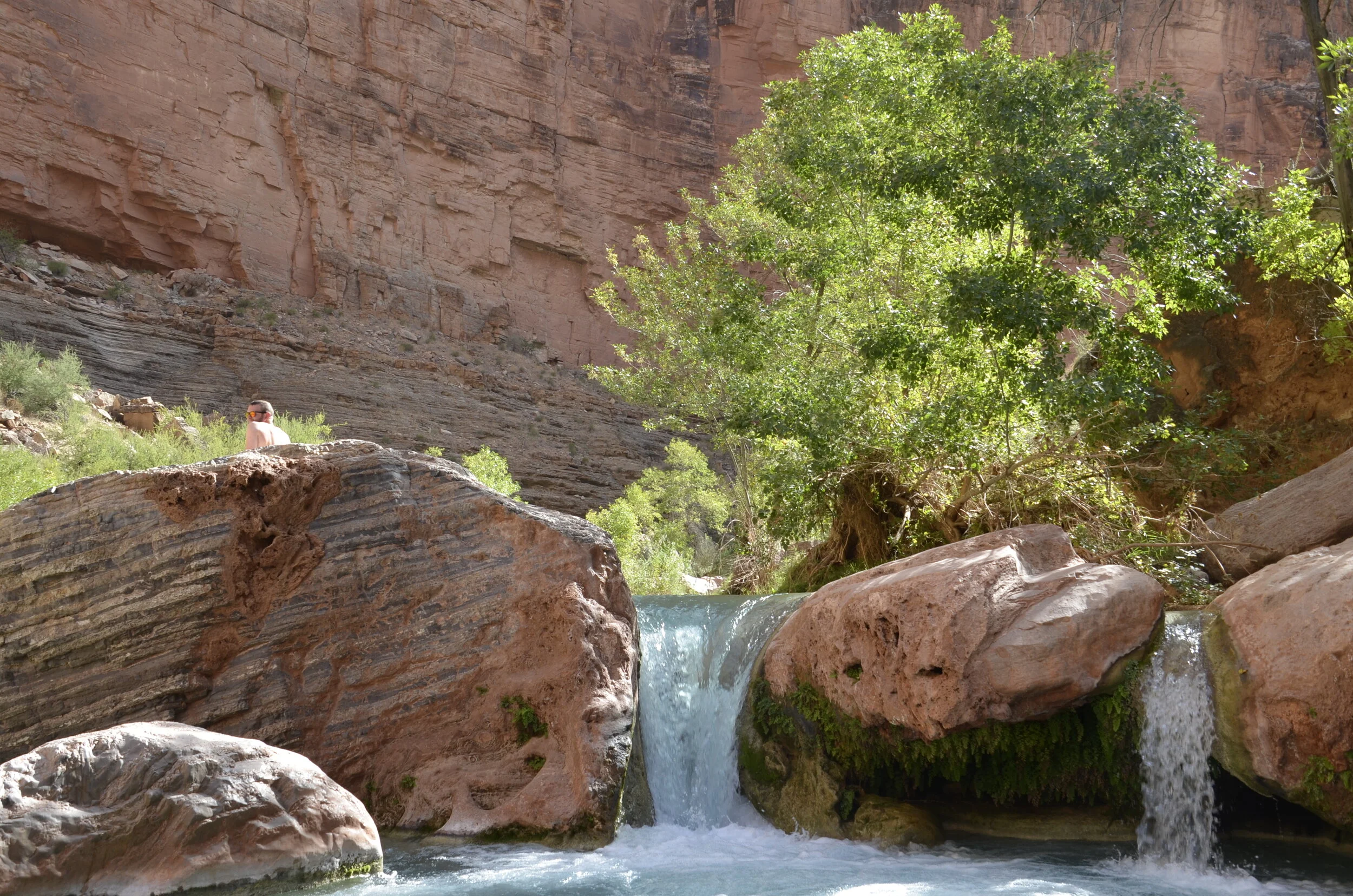
We hiked up the canyon for about a mile…

_DSC9207.JPG

…before stopping at this pool to while away a few hours resting, reading, eating lunch and listening to the sounds of water falling.

_DSC9212.JPG

Some of you may have heard of Havasu Falls. This is located in Havasupai tribal lands, and was at least 4 miles hike away from the river.

We sure got our fill of Bighorn sheep that day -

_DSC9226.JPG

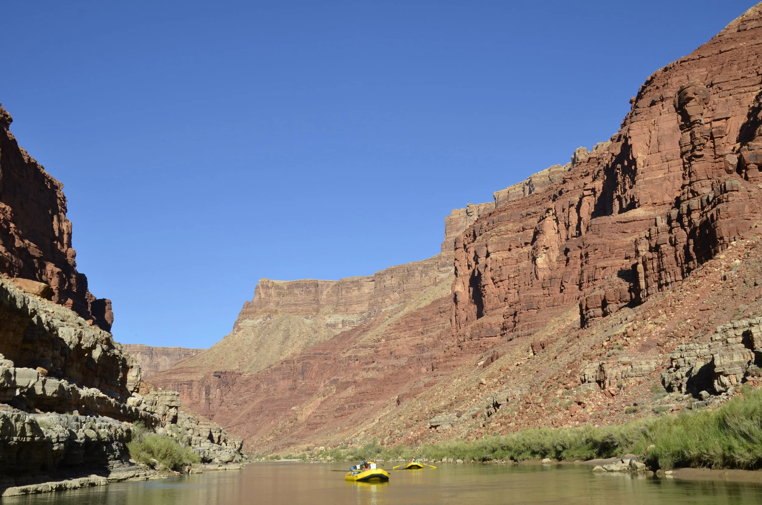
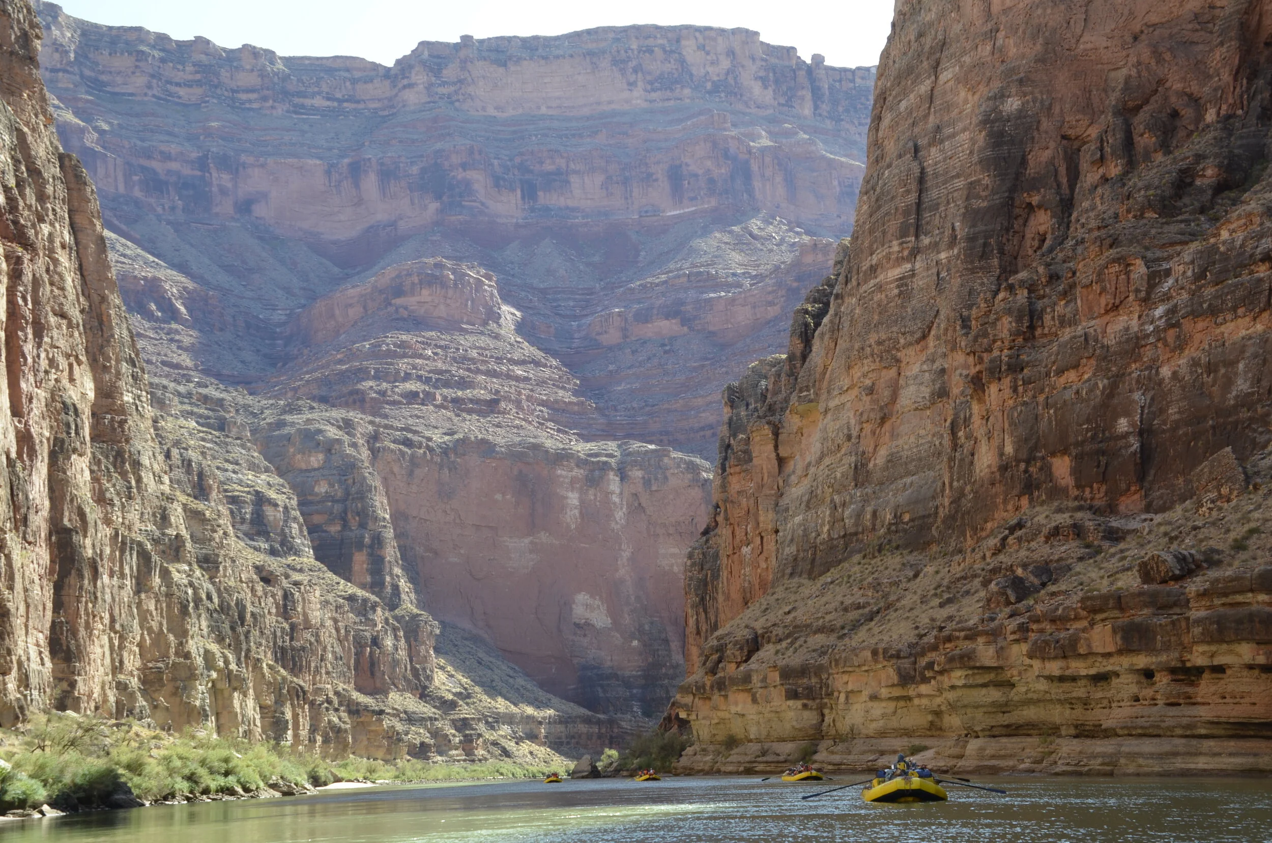
Even though the canyon was opening up, we still found some really high walls.

_DSC9236.JPG

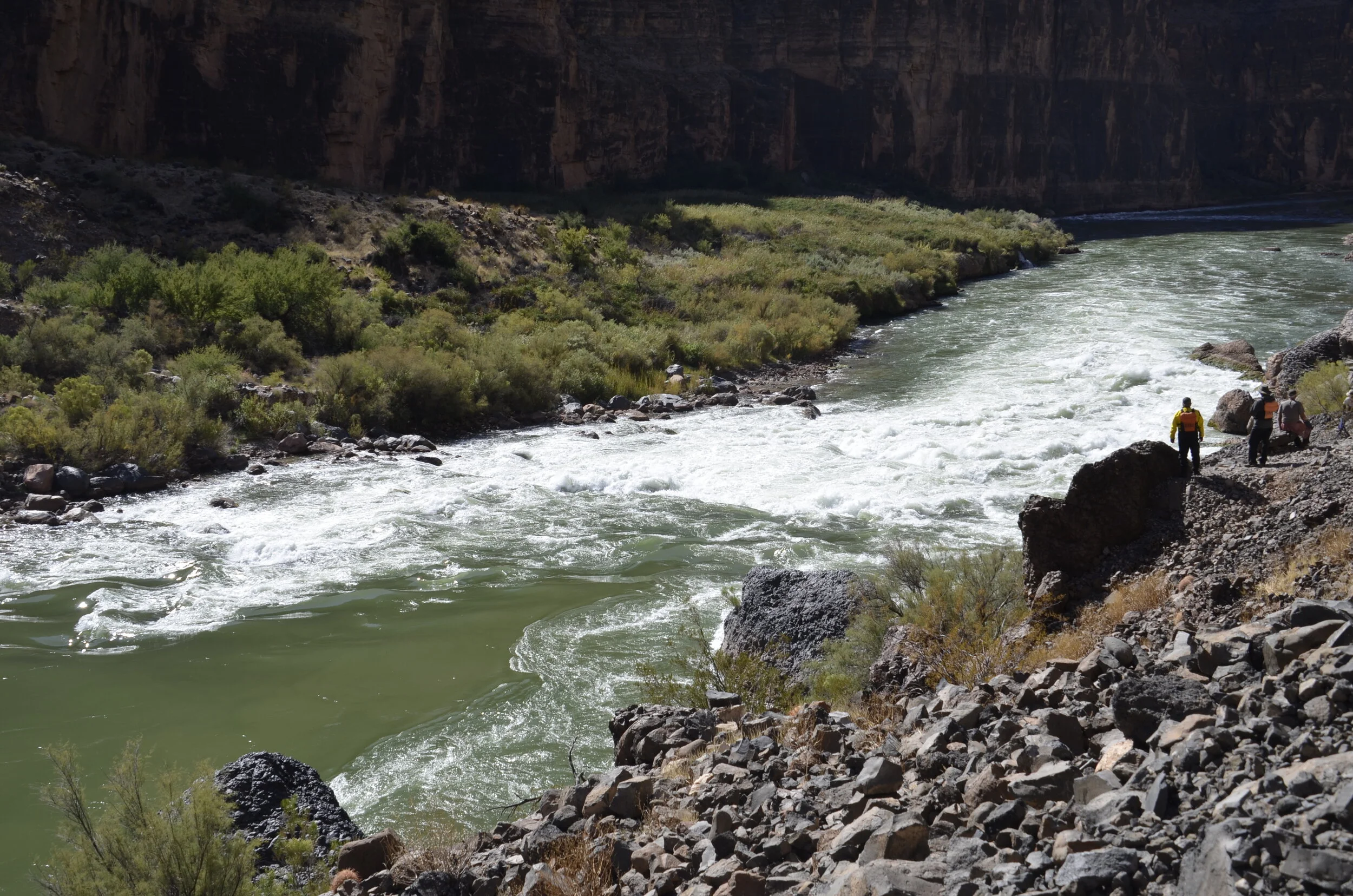
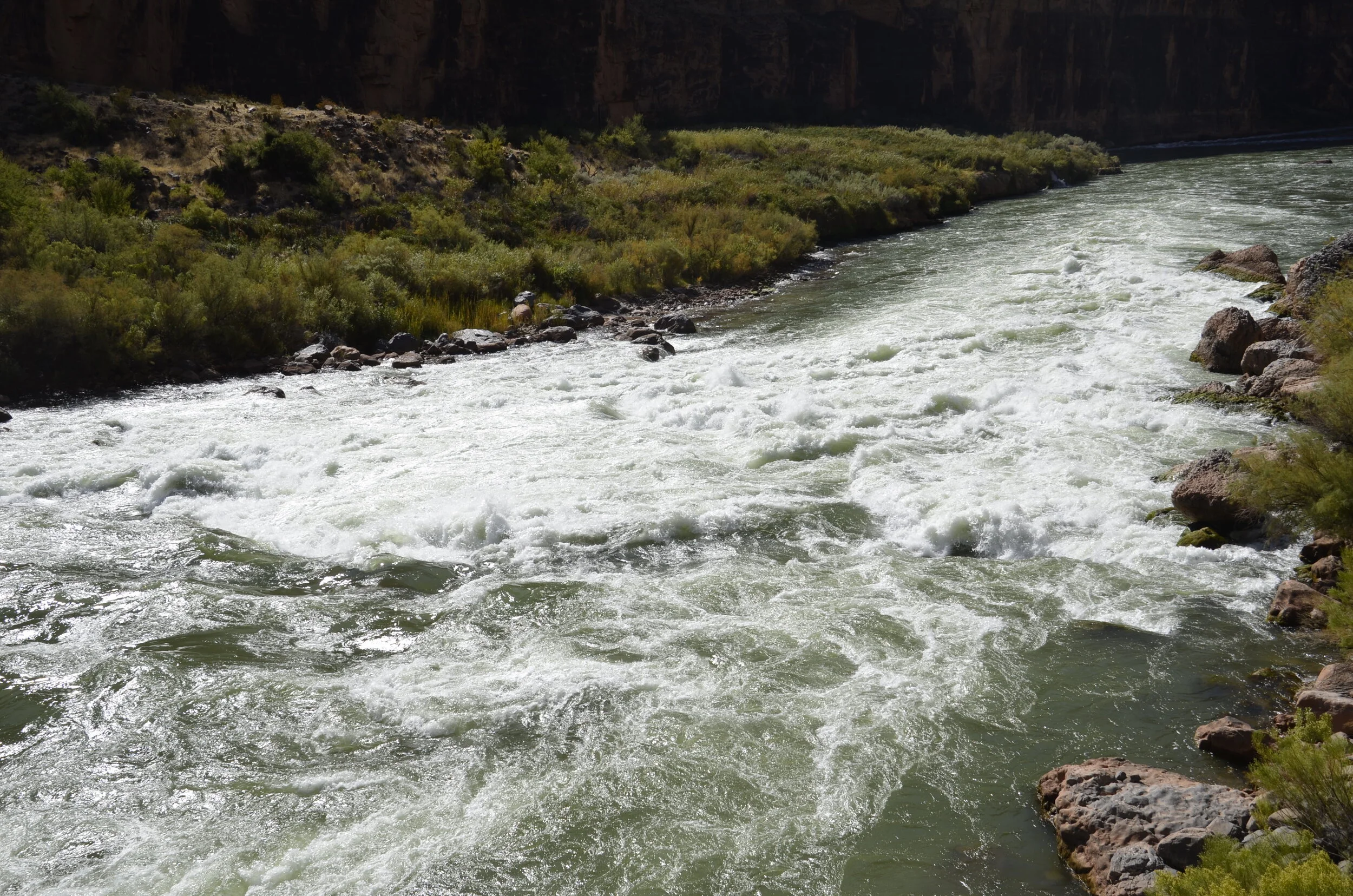
Lava Falls Day! This is a famous (?infamous) rapid that has the highest rating given to any rapid in the Canyon - highest meaning most dangerous. Scouting the rapid:

_DSC9237.JPG

Plenty of rafts have flipped here, so before we entered it, we had to cinch down our life jackets super tight, ensure our helmets were on firmly, recheck all bags were securely tied down (and wouldn’t flop around and hit us in the face as we were bucked in the waves).

_DSC9242.JPG

We were also reminded what to do if we became “involuntary” swimmers - lay on your back with your feet pointing downstream, and if you can hold your breath for 17 seconds, it’d all be over that quick, and you’d be through it.

We all got through it unscathed, and it actually was kinda anticlimactic because it went by so fast, and didn’t seem like it was any rougher than some others we’d been “Maytagged” by (tossed around and drenched from all sides) - however, I wasn’t rowing the boat through the waves, holes and rocks. The raft we were in that day was piloted by a big, bearded guy who wore skirts every day. He asked that we give the boat good “mojo” by all wearing skirts, and to his surprise, all four of us did, including the 70 year old guy from Minneapolis. No one was surprised that Steve did. That night in camp we had Lava Festival, where everybody wore costumes. We had a lot of fun singing songs, playing horseshoes and telling bad jokes.

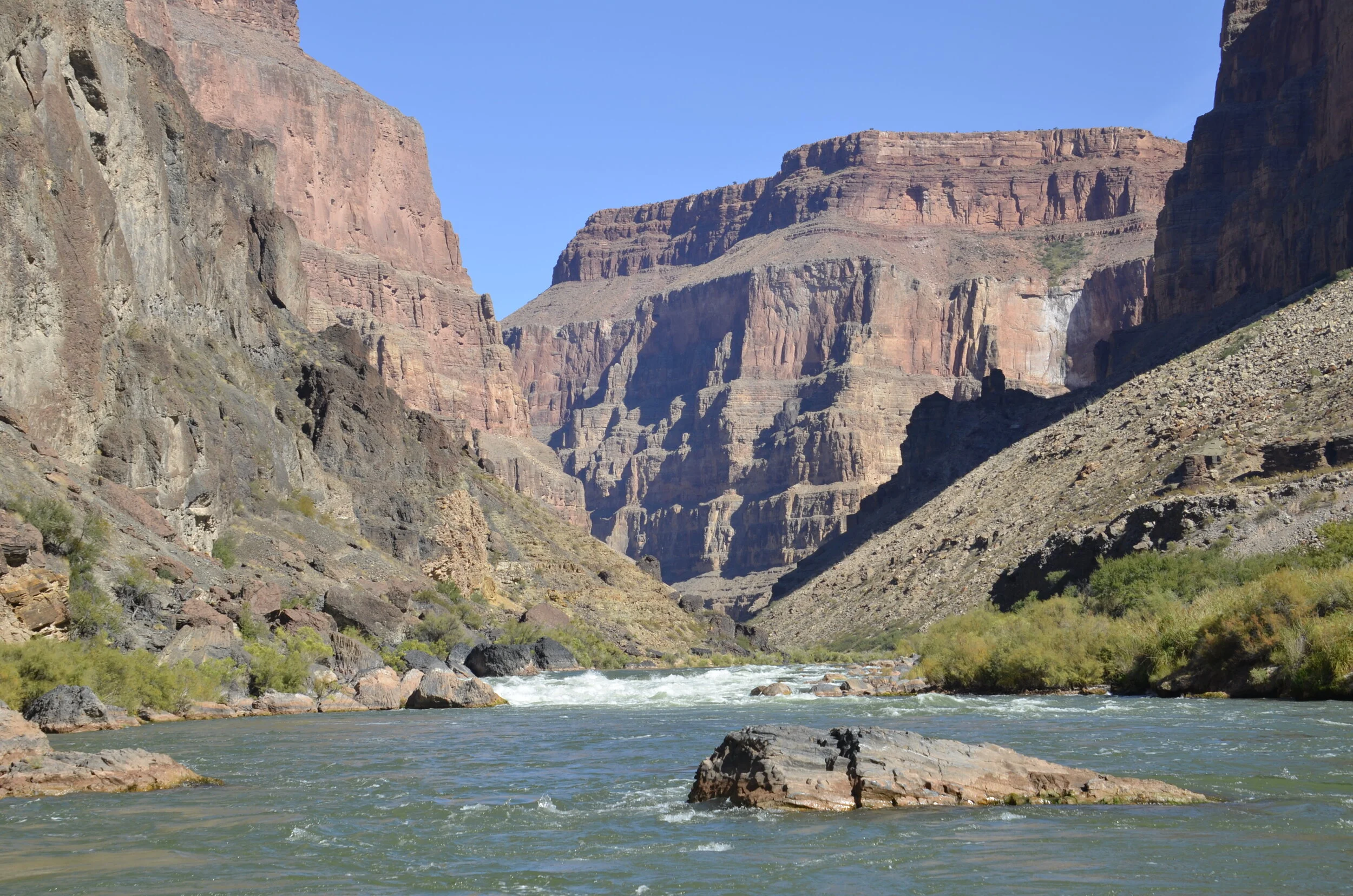
doesn’t look like much from the downstream side, does it?

doesn’t look like much from the downstream side, does it?

The next day, we hiked up Whitmore Trail, that wasn’t much scrambling, but just kept going up and up - 1000 ft.

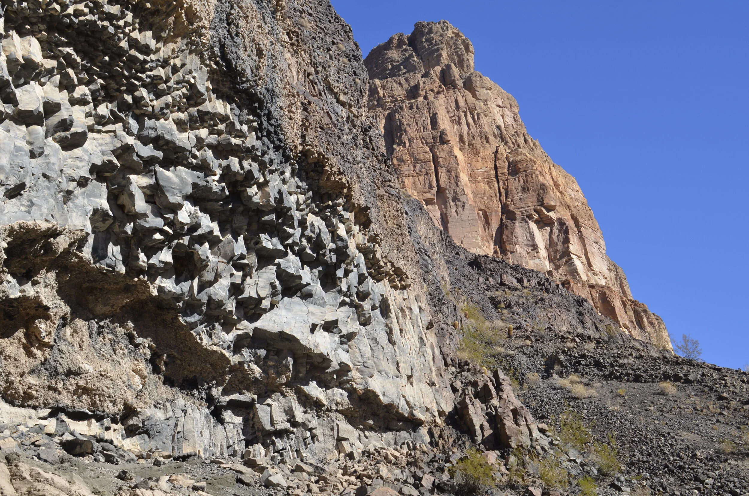
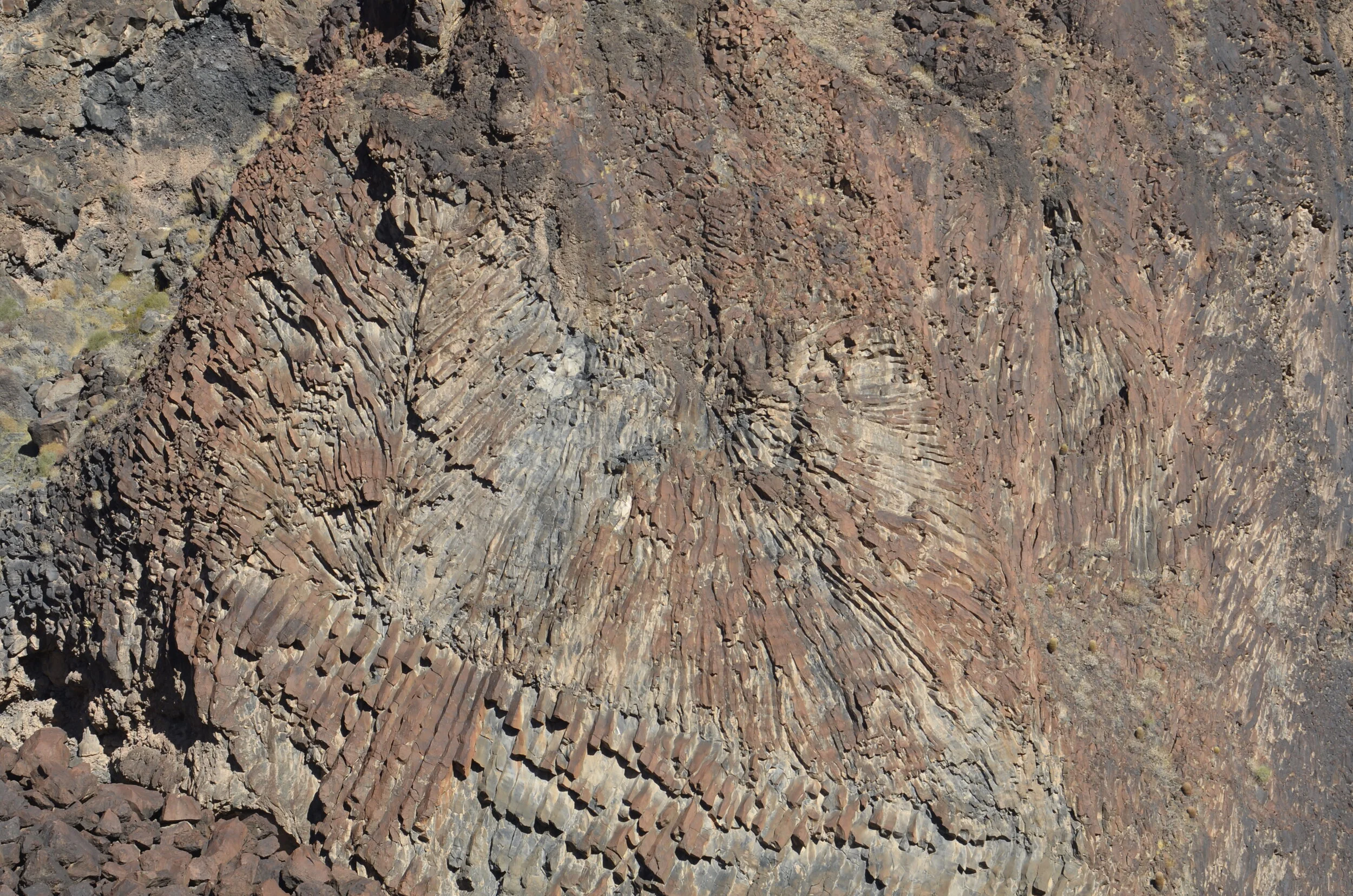
On the way, we passed by columns of basalt -

_DSC9249.JPG
_DSC9251.JPG

…that resulted from a huge volcanic eruption “only” 200,000 years ago. You can still find volcanic rock more than 70 miles downstream, where they were thrown by the blast (and not just carried by the river)!

Neat “sunburst” effect on these basalt columns:

_DSC9252.JPG
_DSC9253.JPG

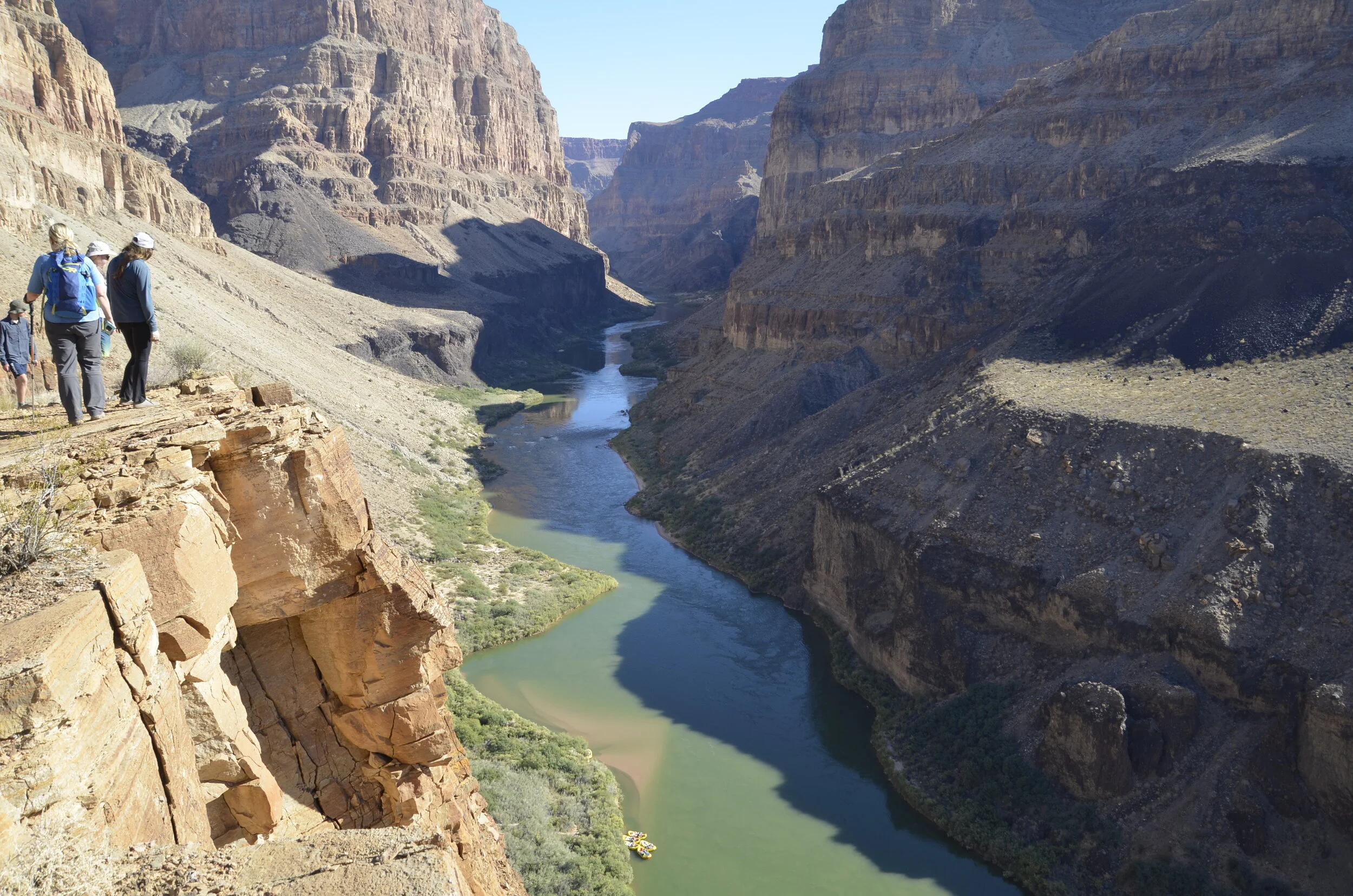
Great views from up here!

note the rafts waayyy down there

note the rafts waayyy down there

_DSC9257.JPG

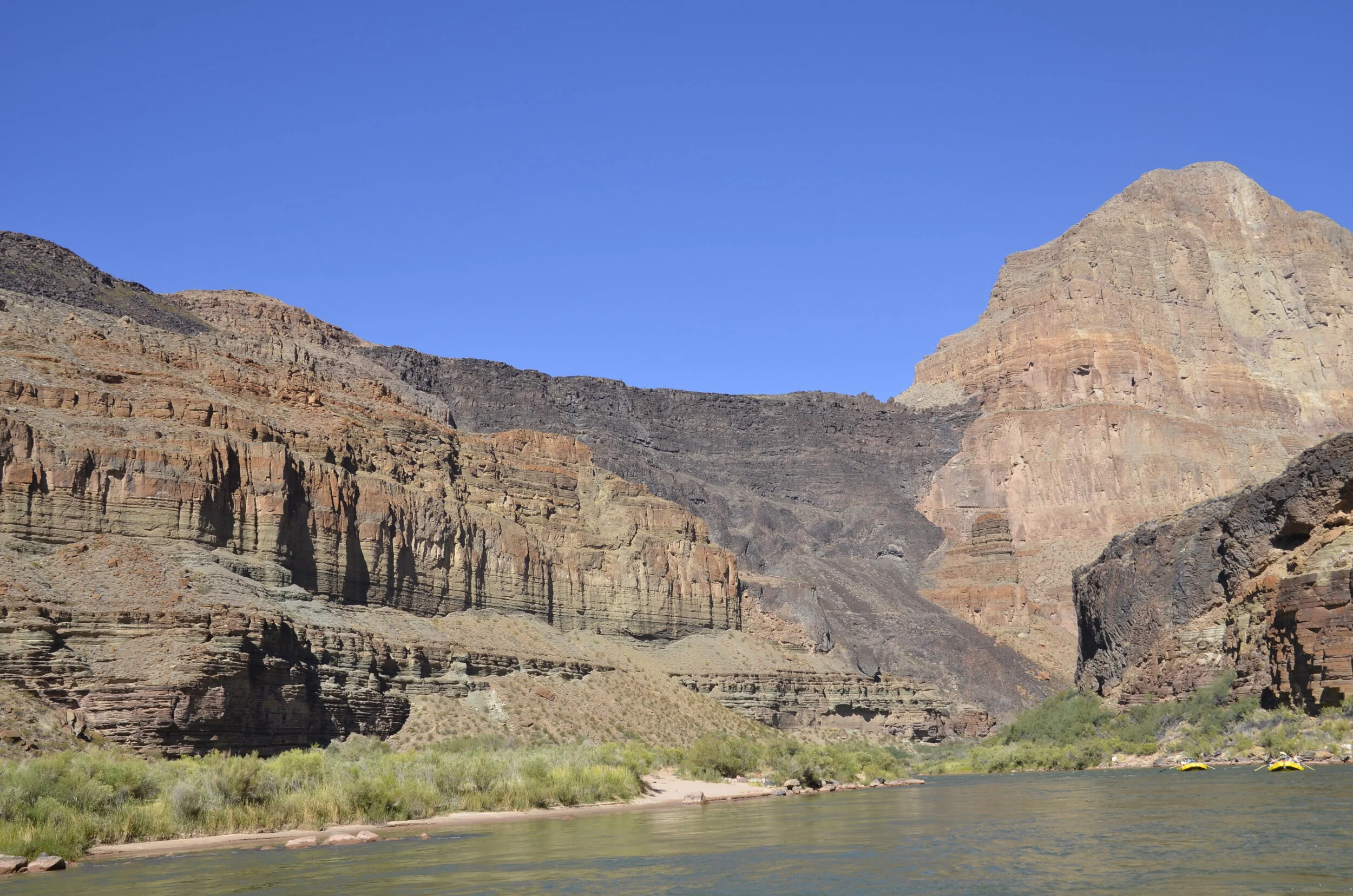
View of the lava flow from the river aspect -

_DSC9264.JPG

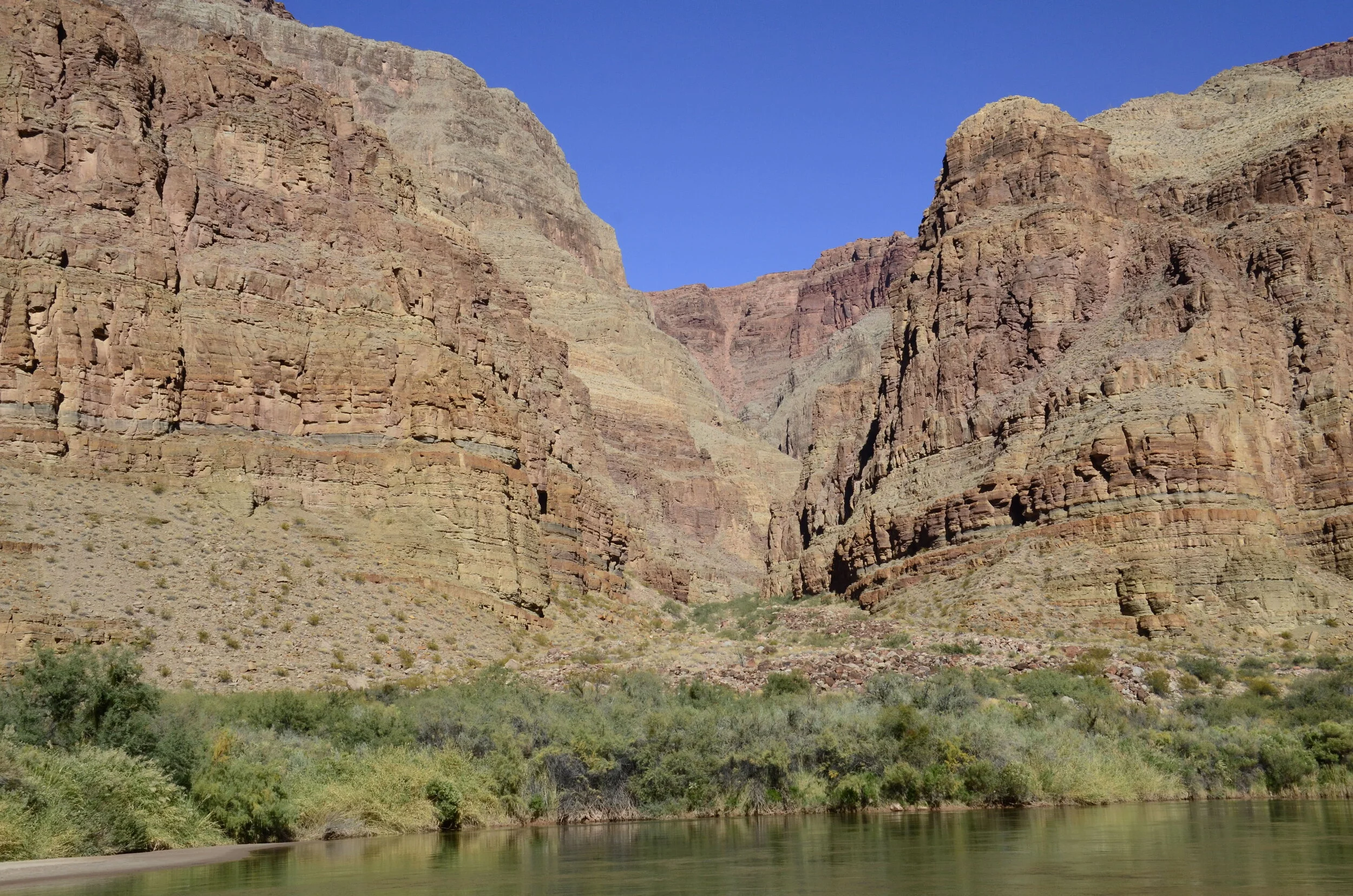
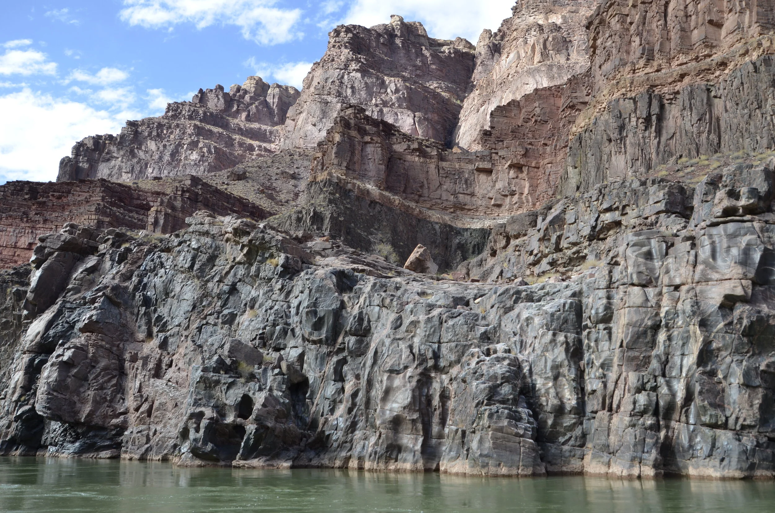
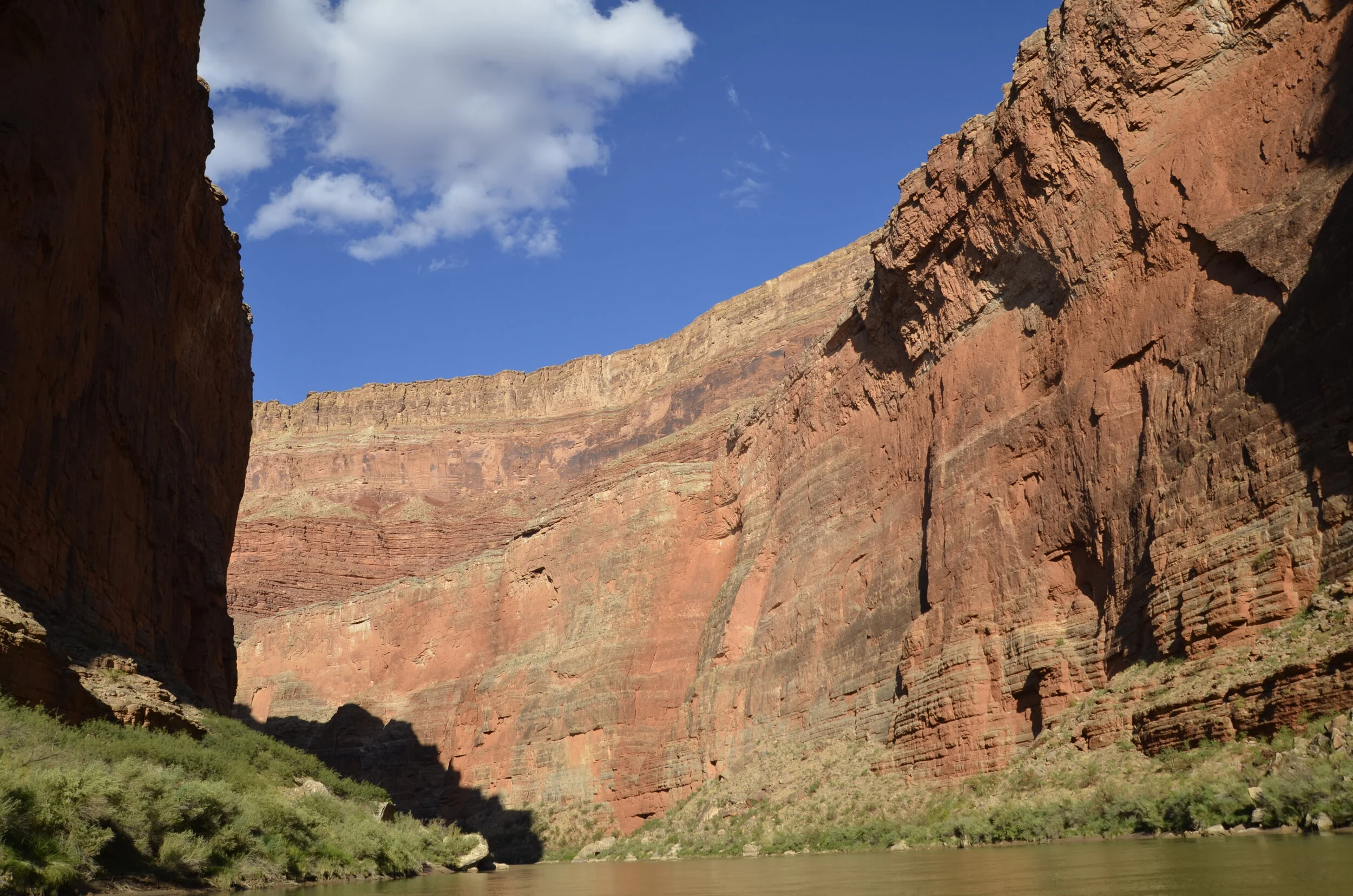
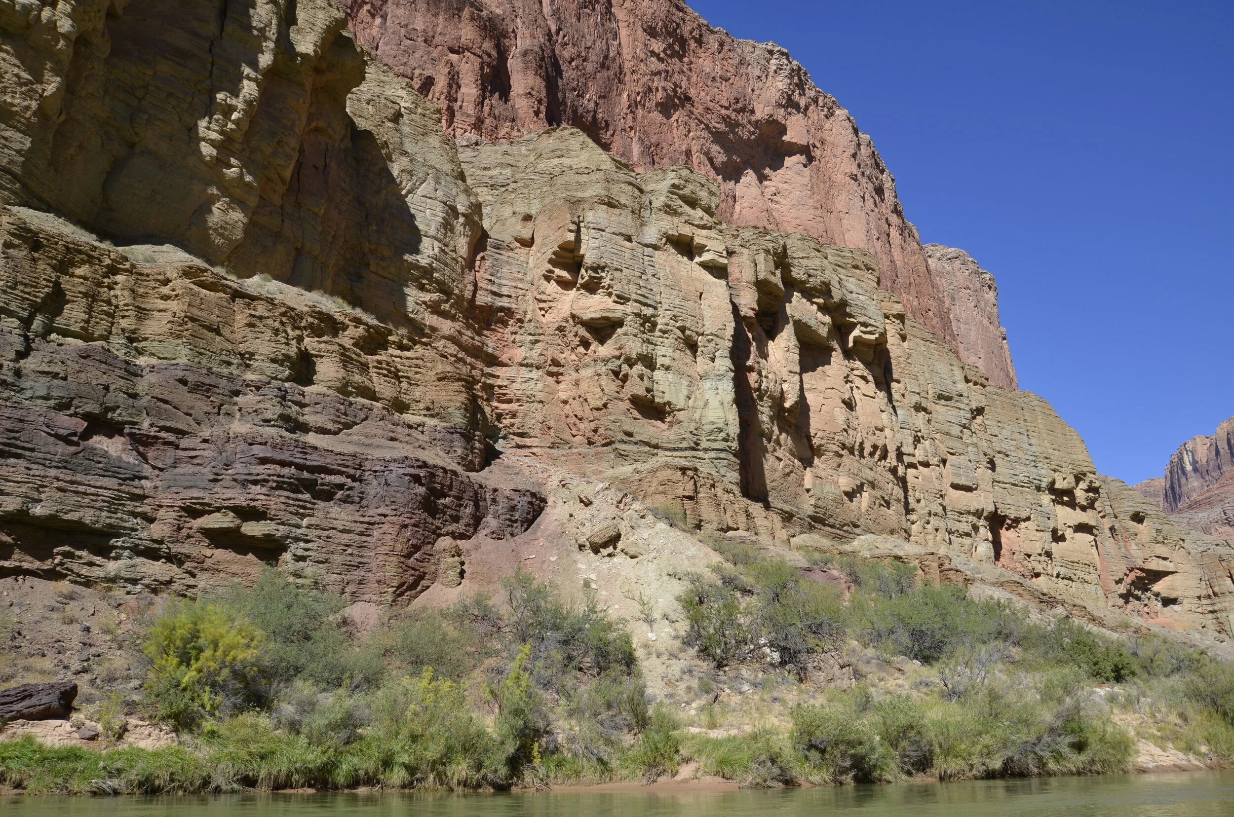
Last of the gorgeous multicolored walls -

_DSC9267.JPG

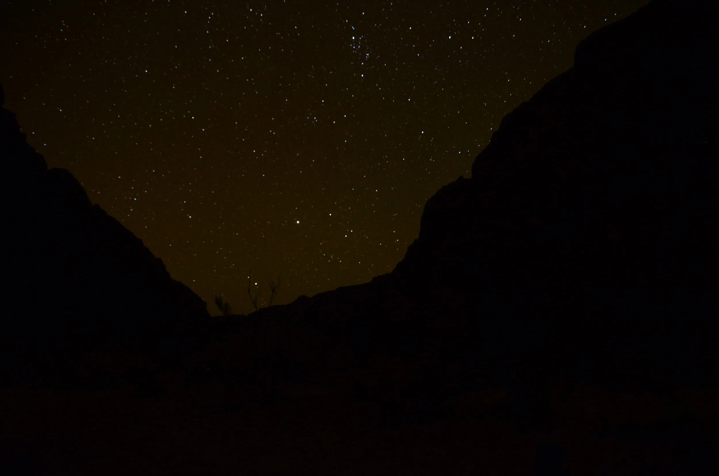
Every night we could see tons of stars and the Milky Way, but this was the only picture that turned out halfway decent, with canyon walls as framing.

_DSC9276.JPG

Several last comments:

- If you go on one of these trips, be in really good physical shape so you can enjoy all the hiking.

- Believe them when they say to bring extra heavy moisturizer (20% humidity and you wash your hands in cold river water a lot) - we did bring it, but didn’t slather it on at first like we should have, and suffered deep splits in our fingertips (that so messed up our fingerprints that we had to reset our devices when we got back!).

- This was the longest we’d ever been without WiFi/cell service (including the South Pacific and Africa).

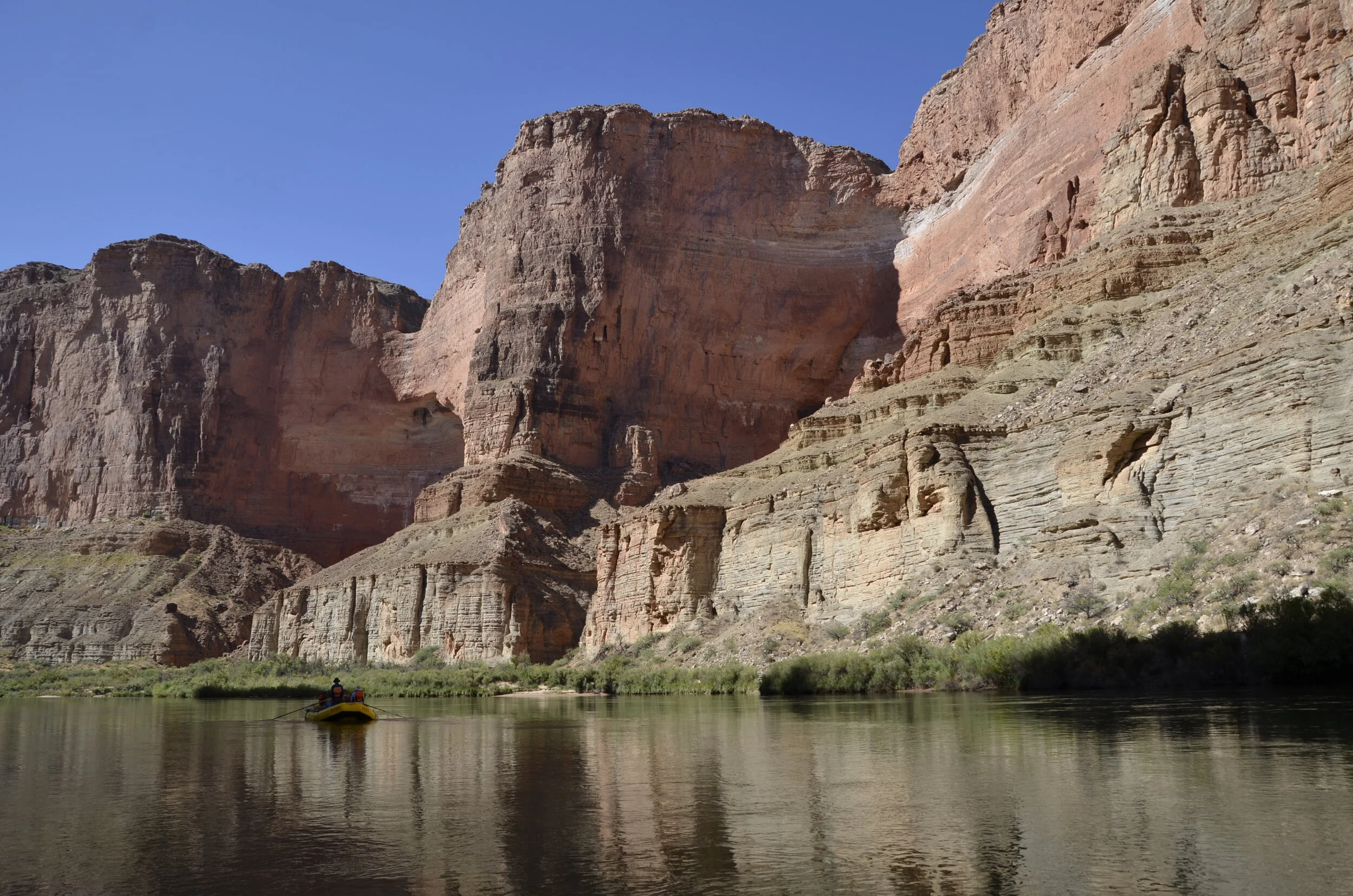
I was going to finish this post with shots from both rims that we visited after we left the river, but I’ll save those for another one.

_DSC9272.JPG

“Reflecting” on this trip, it was a pretty cool ride!

Hiking and waterfalls

After Elves Chasm from the last post, we were granted a layover day where we stayed at the same camp for 2 nights. Everybody was thrilled to not have to pack everything up right after breakfast, as we had been doing for over a week. After a leisurely breakfast, we went on our longest hike of the trip (6-7 miles) to and from Stone Creek Falls. It was pretty tough hiking/scrambling but there was a series of gorgeous falls along the way.

_DSC9075.JPG

Again, the little people for scale:

_DSC9080.JPG

This second fall is where Steve tapped out, choosing to wait and read, rather than scrambling on and wading barefoot through the river to reach the third fall.

_DSC9081.JPG

He was doing fine with good ankle support in hiking boots, but around camp in flip flops, he continued limping.

_DSC9086.JPG

So, those of us hiking on, went up and around that little fall you see in the picture above to reach the third (and most beautiful) fall -

_DSC9097.JPG

To reach this point, I had to climb up and over some really big rocks and wade through thigh high cold water barefoot!

_DSC9103.JPG

As we hiked back to camp, we saw someone being carried out over somebody’s shoulder, fireman-carry style. We learned that he had been climbing in that same canyon we were in, and fell and broke both ankles! A Medivac helicopter flew in to take him out, and actually arrived very quickly - within an hour of him reaching the main river. He apparently was doing some serious free climbing, not the hiking and scrambling we’d been doing. He was on one of the private trips that we had seen occasionally on the river. We learned from our guides that during the main season (Apr - Oct), there was a helicopter evacuation essentially every day for either hikers or rafters. In case you were wondering, no one in our group was injured during our entire trip, and no raft flips occurred either. It was awesome! On our hikes, we all suffered lots of scratches and scrapes, and one man sat back against a cactus (and begged us not to have photographic evidence).

_DSC9110.JPG

Back on the river the next day, we stopped at the Granite Narrows (the narrowest point of the canyon at 76 feet) to hike around that corner in the picture above, just below that beautiful blue rock layer. We walked for 3 miles along an Indian trail and were treated to awesome views of the canyon and river.

_DSC9121.JPG

It was a hot, sunny walk…

_DSC9122.JPG

…so when we reached the Deer Creek “platform”, it was blessed relief.

_DSC9150.JPG

Deer Creek kept dropping through this slot canyon -

_DSC9137.JPG

…that just kept getting deeper and deeper…

_DSC9144.JPG

…until it reached the Colorado as this fall.

_DSC9165.JPG

The spray coming off of this was like air conditioning!

_DSC9166.JPG

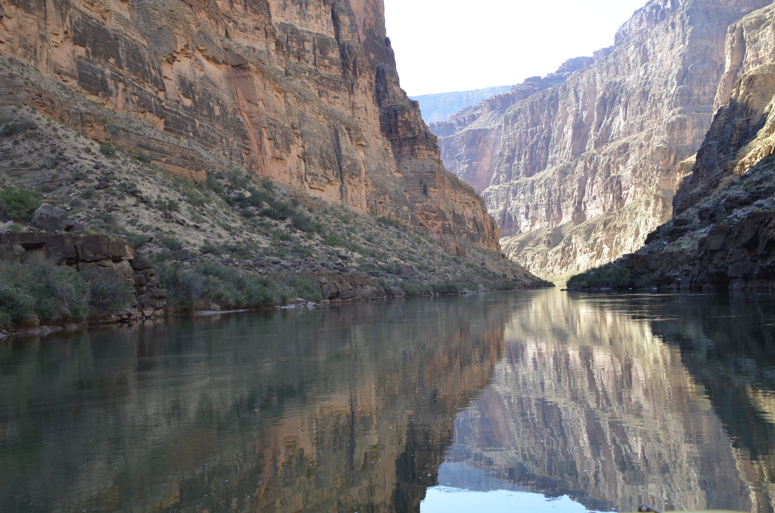
As I was going through all my 600+ pictures for this part of the trip, I realized that I captured quite a few reflections after all.

_DSC9171.JPG

More Grand Canyon!

For those who are wondering just what it was like to spend 16 days/15 nights rafting and camping — the operative word was SAND. We were amazed at how much and how fine it was. And how it got into everything (“in all the wrong places” as one of our fellow rafters put it). There was one camp where really strong winds kept blowing all night, and even with all our flaps zipped and the fly tarp over the tent, we still woke up covered in a fine layer of dust. That was gross; and gritty. That was our worst camp, and so all others compared favorably to it - even the one called “Terraces” which was an area of large flat rock terraces above the river (that was pretty hard sleeping!). Other than those two camps, all the others were large areas of sand and rock bars (with trees or bushes) where there were plenty of flat areas to set up tents, and even spaced relatively far apart for some privacy.

A great comment made by our trip leader at the beginning: “there’s little privacy on the river, but you can give each other a lot of privacy”. This was most evident at “pit stops” along the way. The motto is “the solution to pollution is dilution”, so we were all expected to pee in the river. As you can imagine, this is much easier for guys than gals. The guys would head toward one end of a beach and turn their backs on the boats, and the gals would go the other direction, and squat behind/beside the rafts.

Enough with the details! Where are the pictures?

_DSC8964.JPG

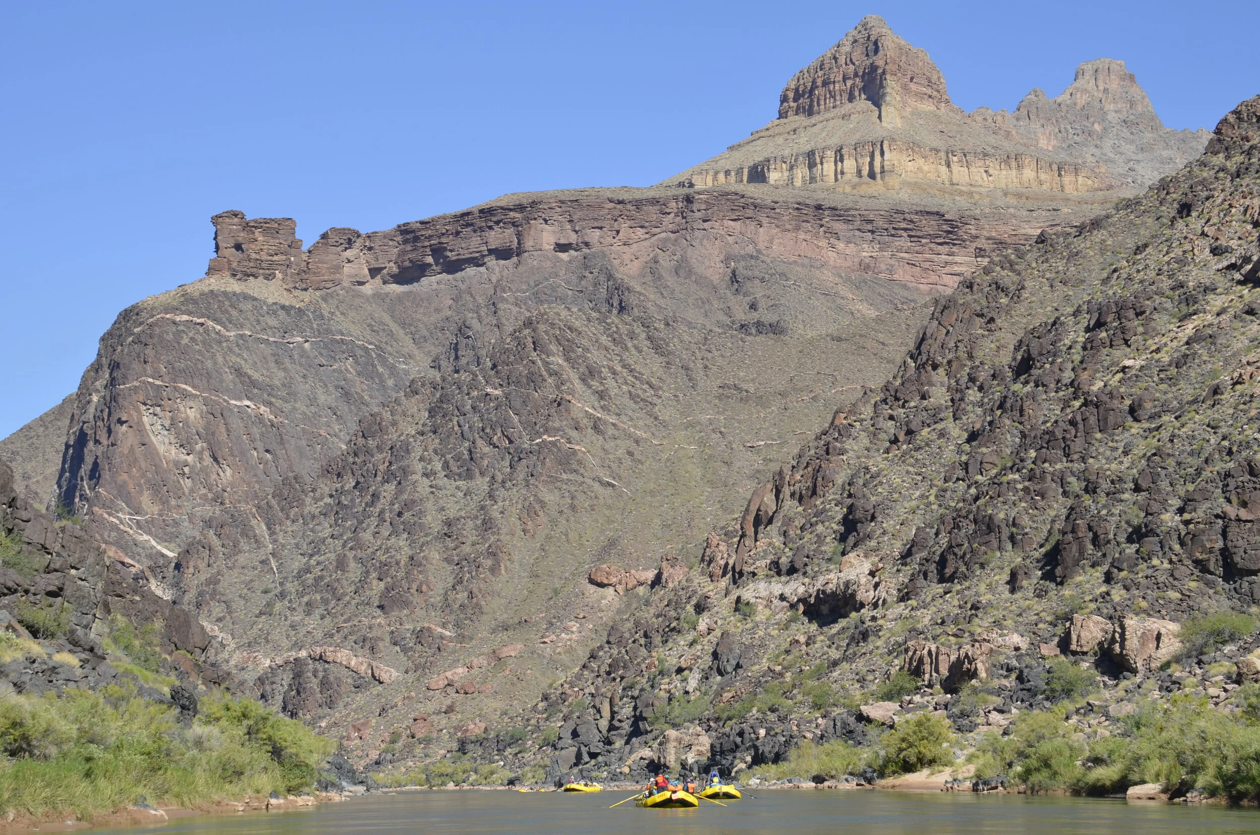
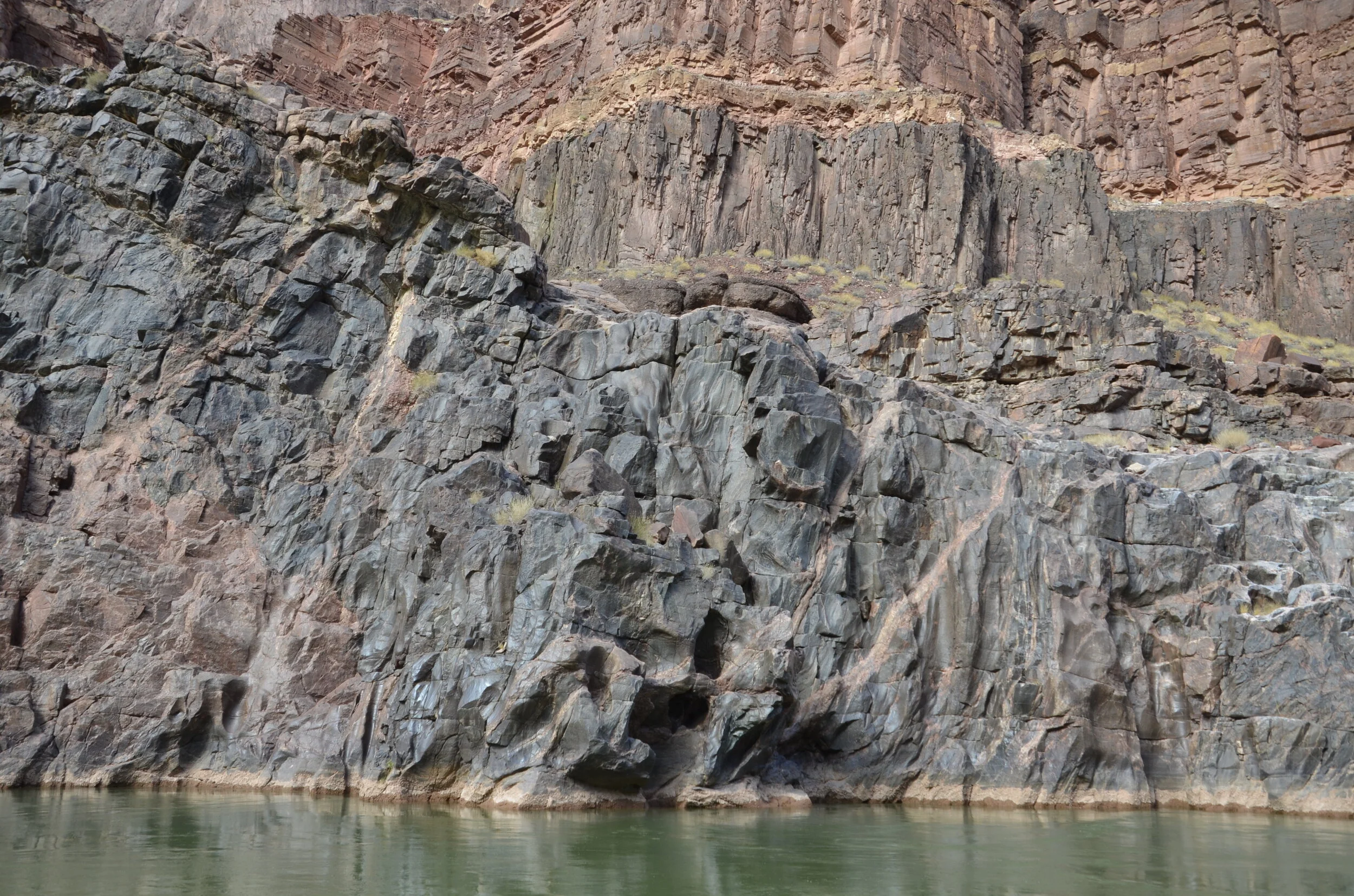
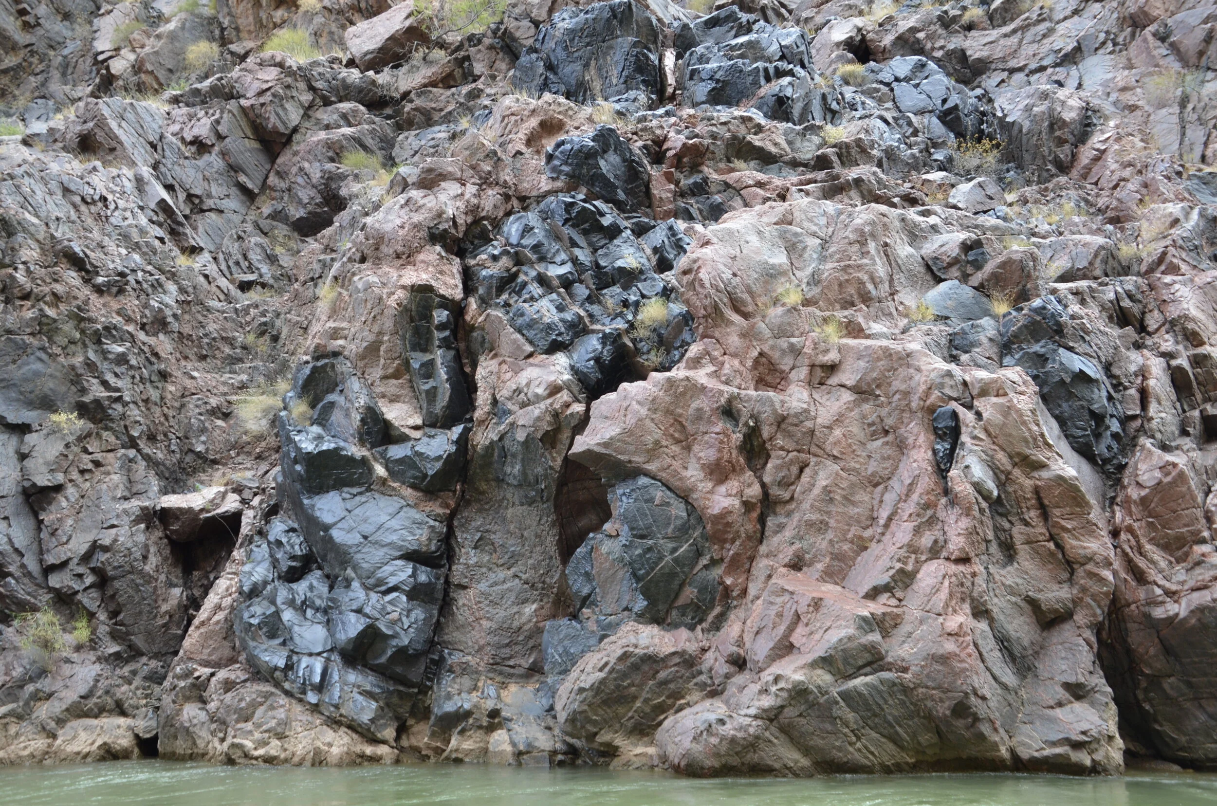
In the picture above, check out the veins of pink granite in the darker schist. Also, the little man on the river bank was one of the few other people/groups we saw during our trip. Interestingly, we gave a ride across the river to a pair of hikers. In another camp, two men appeared suddenly, walked through our area to the river, waded in it, and turned around and walked back off toward the rim they came from.

looked like a fortress with a wall around it, and again…the veins of granite

looked like a fortress with a wall around it, and again…the veins of granite

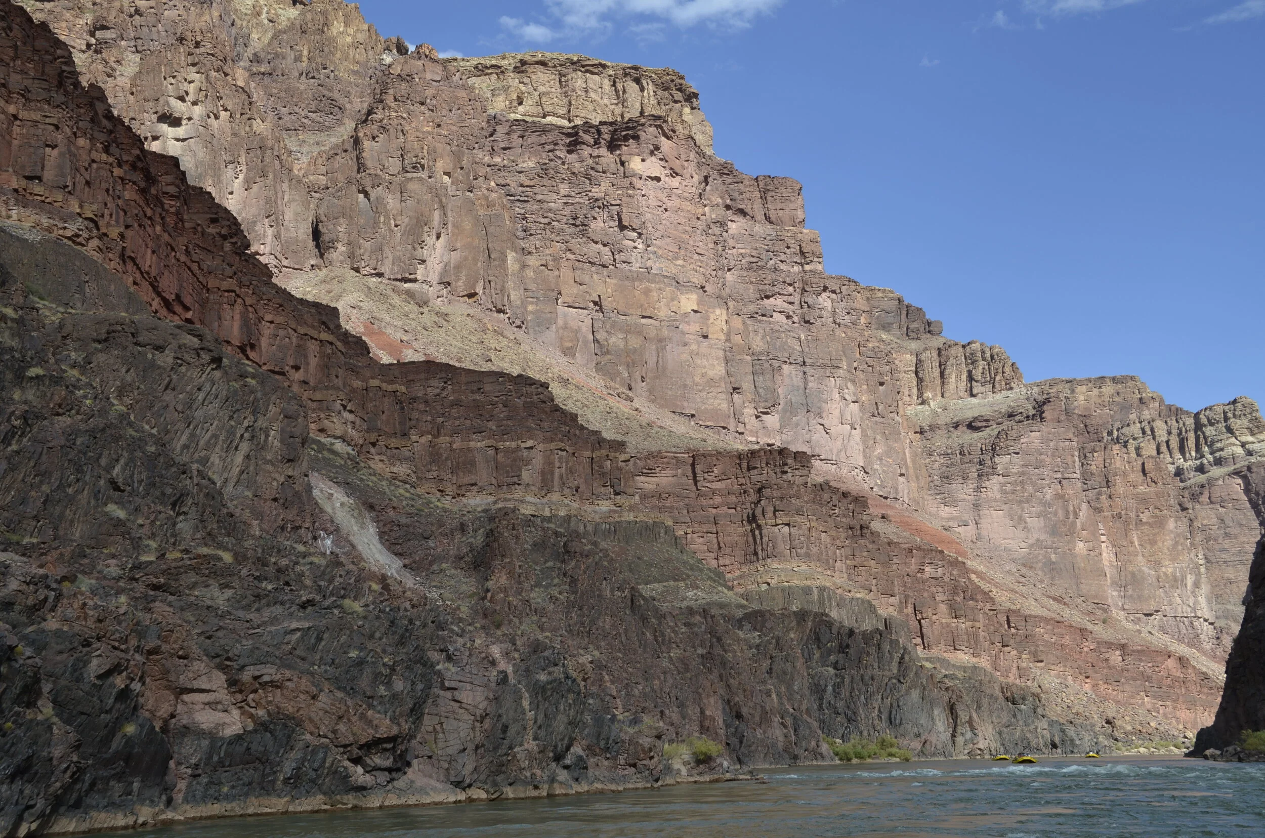
More layers!

_DSC8976.JPG
_DSC8991.JPG

More rapids!

_DSC8999.JPG
_DSC9002.JPG

More granite veins!

_DSC9005.JPG
_DSC9006.JPG

More bent rocks!

_DSC9008.JPG

One of the places I had read about ahead of time was Elves Chasm.

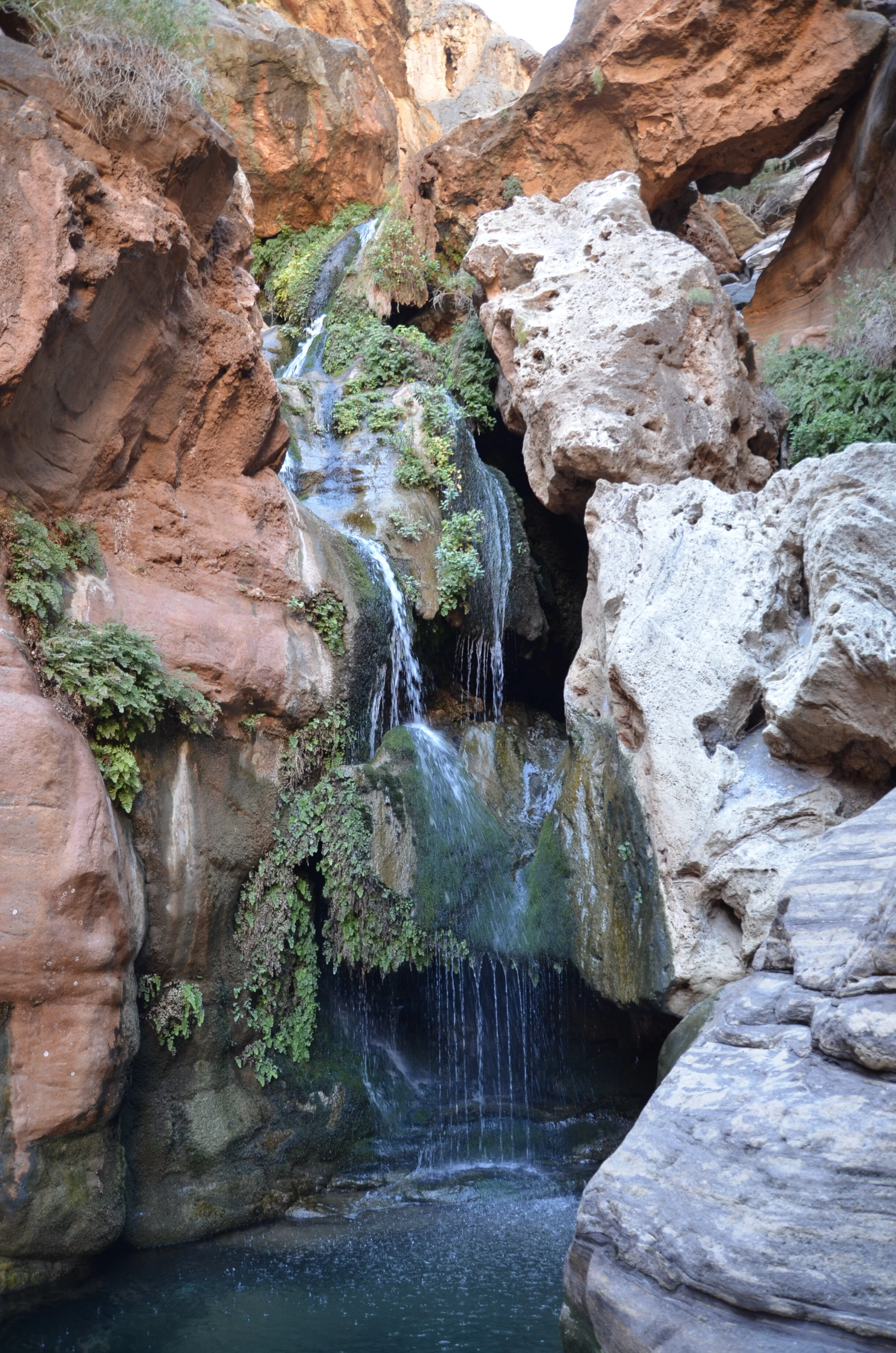
_DSC9022.JPG

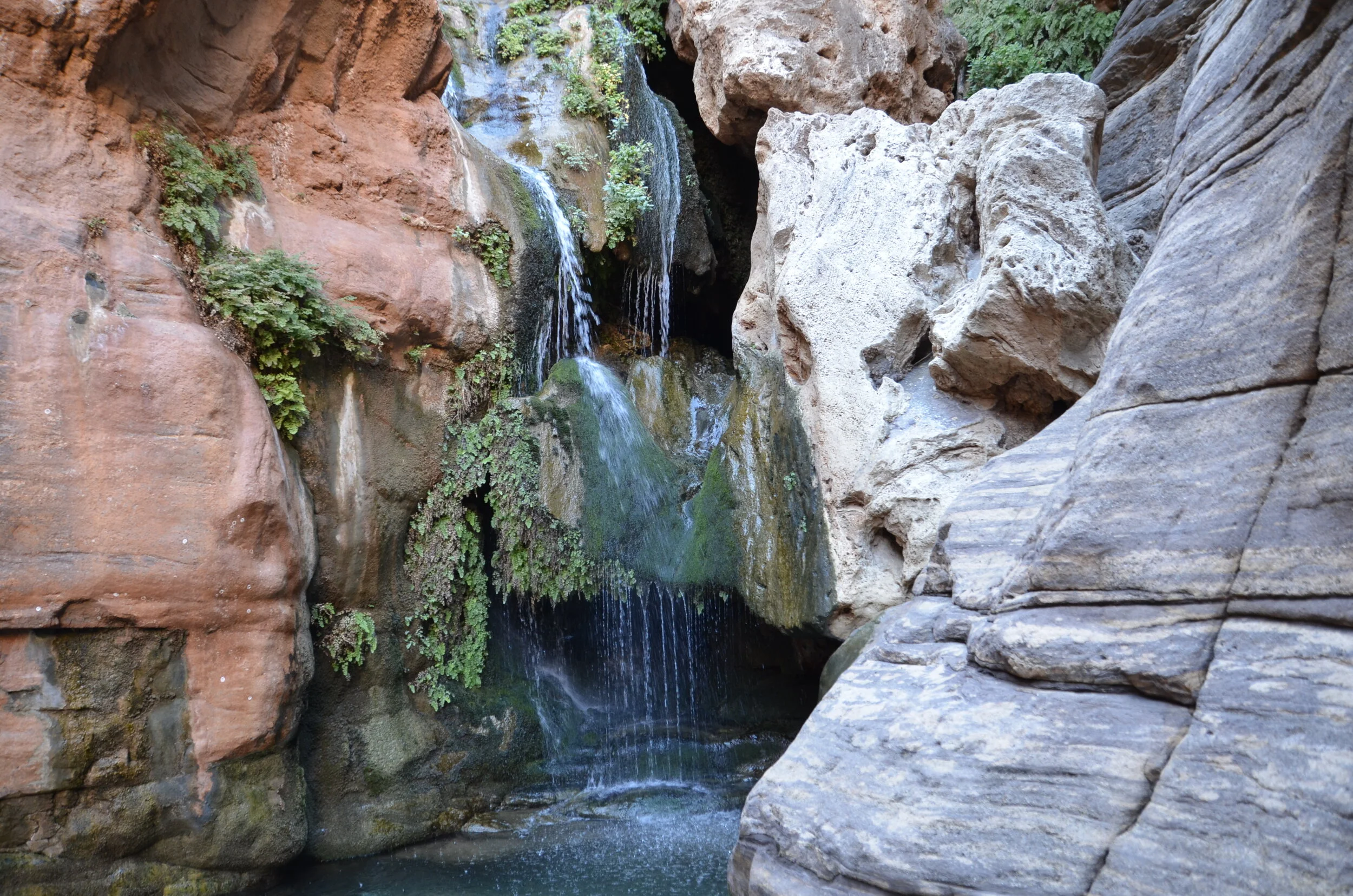
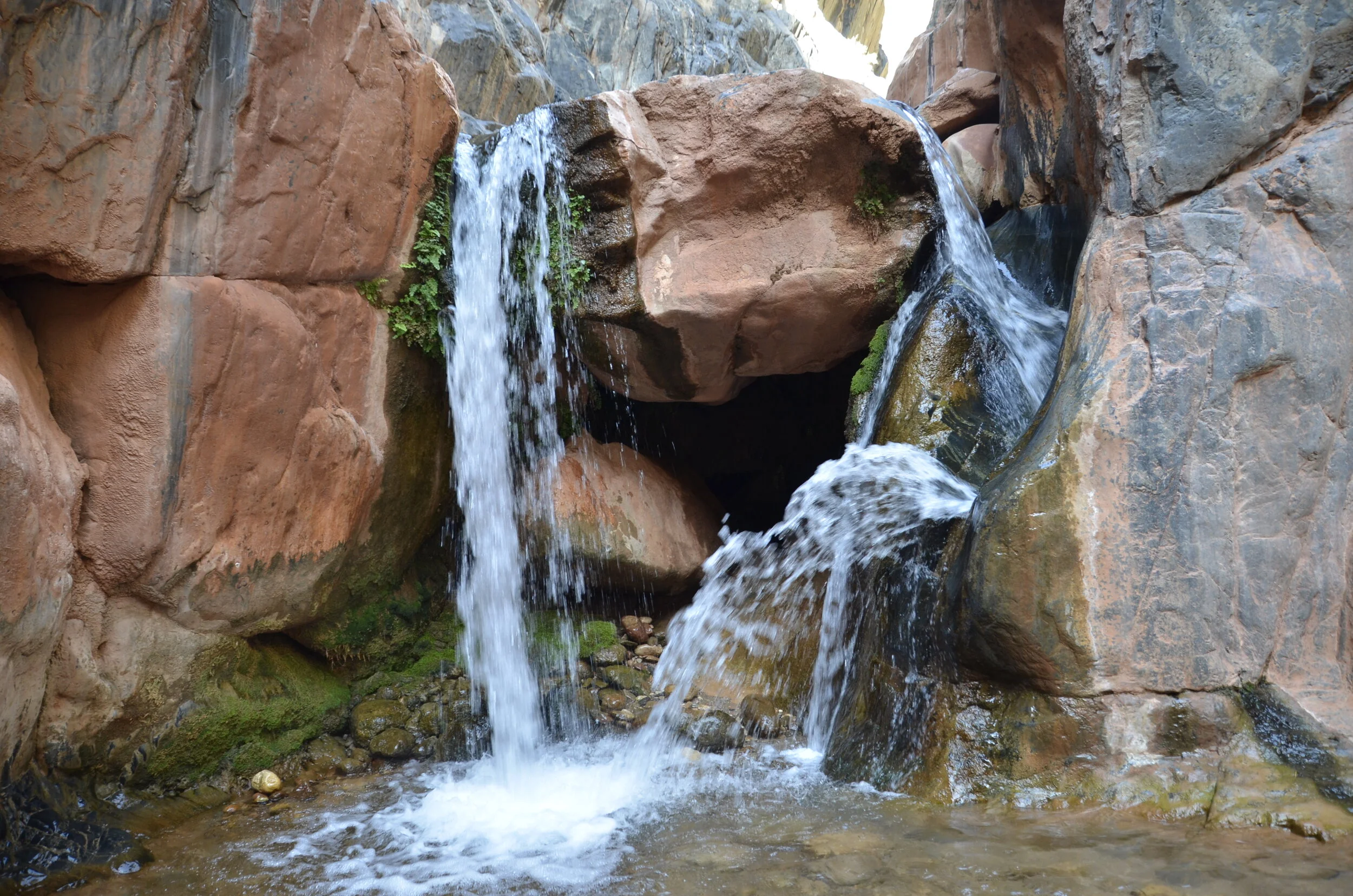
What a lush oasis of blue water and green ferns, in such contrast to the desert conditions all around us.

_DSC9024.JPG

The “youngsters” climbed up behind the rocks and jumped just above the lowest fall into…

_DSC9025.JPG

Back on the river, we were treated to yet more layers!

_DSC9037.JPG
who you lookin’ at?

who you lookin’ at?

I loved the different angles of rock - vertical, closer to the camera on the right, oblique in the middle, and horizontal in the back:

_DSC9059.JPG

More reflections!

_DSC9068.JPG
_DSC9064.JPG

Closing with a sunset (of course!).

_DSC8982.JPG

And another...

Oh no… yet more Canyon photos?

_DSC8861.JPG

This was taken from a site above the river where there were petroglyphs (you can see how the “rock varnish” has been chipped away) :

_DSC8858.JPG

Ok - just some more neat shots -

_DSC8868.JPG

Reflection pictures were really rare, as either the water was always rippling, or it was shaded.

_DSC8874.JPG

Time for another slot canyon hike -

(note the scale?)

(note the scale?)

_DSC8879.JPG
_DSC8882.JPG

That’s how we felt after scrambling up this wall at the end:

_DSC8887.JPG

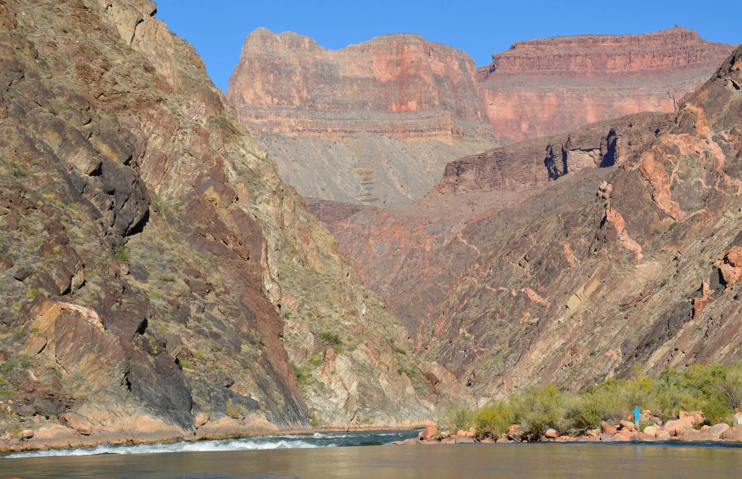
Here comes another one of my favorite rock layers - Vishnu Schist:

_DSC8895.JPG

…shot through with pink Zoroaster Granite. These are the deepest layers of rock in the canyon.

_DSC8897.JPG
_DSC8903.JPG

Such gorgeous layers -

_DSC8901.JPG

On our next hike we were promised “the world’s only sideways waterfall”.

_DSC8917.JPG

The secret revealed:

_DSC8920.JPG

Check out this big fella!

_DSC8929.JPG

Thus, the previously promised bighorn sheep pictures.

_DSC8932.JPG

And we arrive at Phantom Ranch, the halfway point. That bridge is for hikers coming down from the rim to cross the river and head up the other side (if they so wish). After a week of just our group in the solitude of the canyon, the horde of people at the ranch was quite jarring.

_DSC8943.JPG

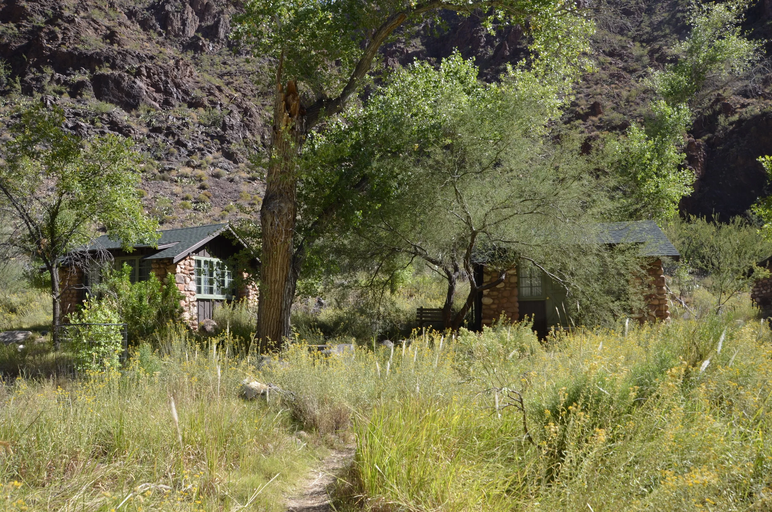
Cabins that you can reserve (probably a year in advance) -

_DSC8950.JPG

A groaner from the river: “don’t take the schist for granite”.

(here, topped by sandstone)

(here, topped by sandstone)

How did they get the rock to do that?? -

_DSC8961.JPG

Another day draws to a close on the river (and so does this post) -

_DSC8963.JPG

Another Grand Canyon post

I don’t know how many posts I’ll do about this part of our travels - probably until I run out of pictures (oh nooooo!).

Ok - so I had told you about the air temps in the upper 70’s to 80’s (in the afternoon), but when we started each morning, we were almost always in the shade and just about everybody was wearing layers (Steve wanted it noted that he din’t, nor did another guest from Australia). The water is a constant 50 degrees (coming from the bottom of Lake Powell through releases at Glen Canyon Dam). If you got splashed in an early morning rapid, sometimes you didn’t warm up until lunch time. You see, the low angle of the sun at this time of year, kept a lot of the canyon shaded.

_DSC8688.JPG

One day Steve and I saw a “sunbow” (a rainbow around the sun peeking over a cliff), but I couldn’t get a picture due to approaching rapids. Imagine there’s a rainbow around the sun in the next picture:

_DSC8695.JPG

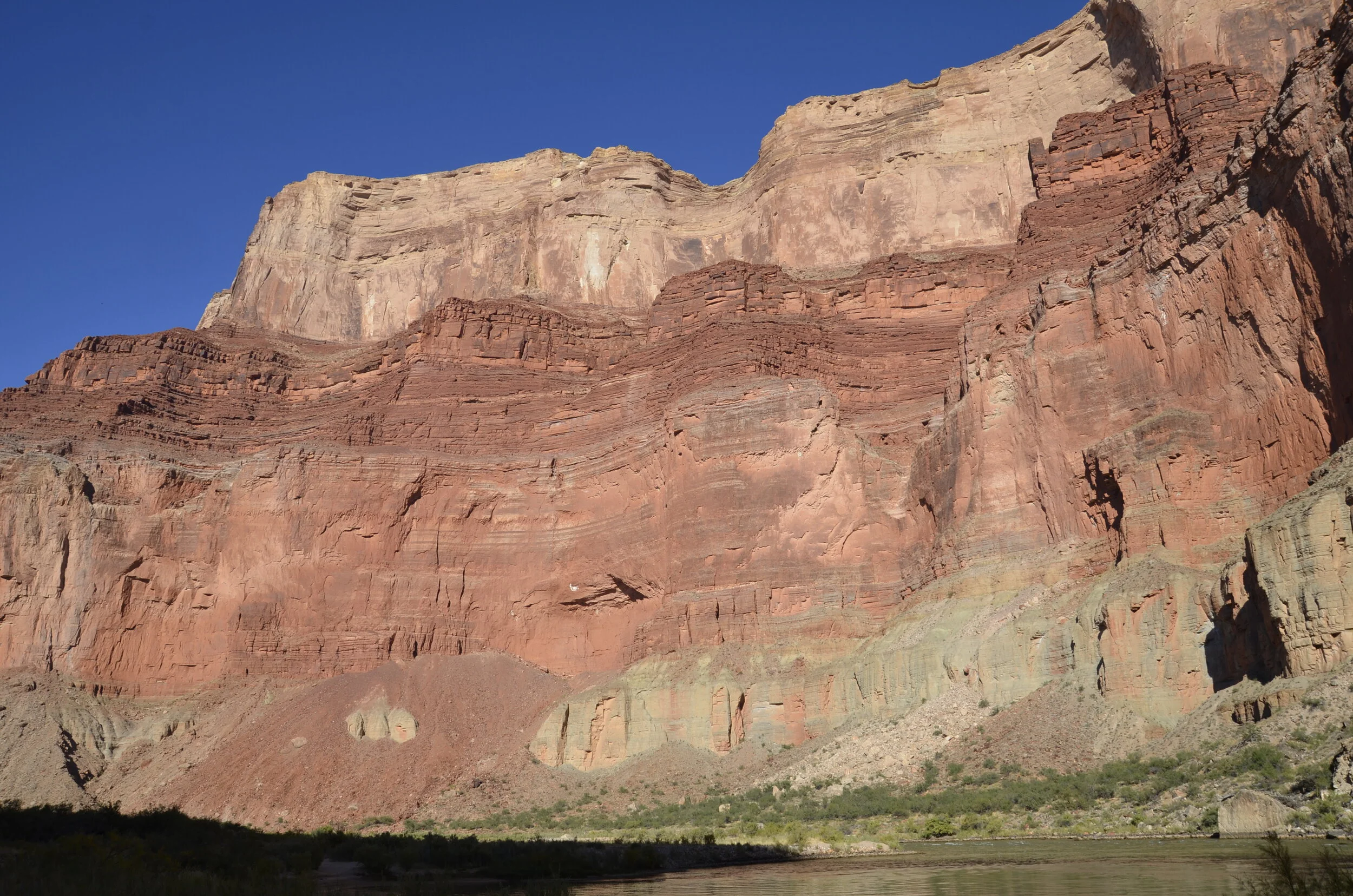
This multicolored layer was my favorite - Bright Angel shale - because of the varied colors and compact layers. Redwall limestone is the broad expanse of red above it.

_DSC8697.JPG

It was amazing how much geology I learned, and fascinating to see each new layer of rock emerge as we passed downstream (and deeper into the ages).

More Bright Angel shale -

_DSC8711.JPG

The starting of the Tapeats sandstone (here at water level, and later in our trip, towering above us) -

_DSC8714.JPG

The walls are getting tall:

_DSC8716.JPG

Our next stop was where the Little Colorado River came in. You can see how light blue the Little Colorado is, as it enters to the left of the green main Colorado River:

_DSC8728.JPG

Calcium carbonate is carried down the Little Colorado, and settles down on the bottom, making a white reflective base for the clear blue water to flow over. We’d seen pictures of the main Colorado River at very high flow, and it was a frothy muddy brown, due to all the sediment and rocks it was churning up in its flow down the canyon. Luckily, we had clear green water the whole trip. As we floated on it, it looked”dirty”, but in buckets we’d scoop out at camp to do laundry or splash baths in, it was very clear.

_DSC8733.JPG

We hiked up the canyon of the Little Colorado, so we could float down it aways. The guides told us to put on our life jackets like diapers, wade in and have fun “riding the rapids”!

_DSC8751.JPG
_DSC8753.JPG
_DSC8754.JPG

Steve had fun with my camera, taking all the guests’ pictures as they floated by him, until I told him that he needed to take a turn in the water. He was a little leery, given his tender ankle, and his antipathy toward cold water, but in the end he did try it.

_DSC8802.JPG
_DSC8809.JPG
_DSC8811.JPG
_DSC8812.JPG

Speaking of cold water, the guides had told us that this river was warmer than the main, so we were all excited to try it. It WAS NOT. That was the last time we voluntarily swam in a river. We would stand in the water at the edge of camps, and splash ourselves clean most afternoons. Unfortunately, the solar shower we had brought fell apart after the first day. I actually didn’t mind the bracing splash baths, but Steve really hates cold water, so it was always a struggle for him.

As we left the pretty turquoise river, I had to get a final shot upstream -

_DSC8818.JPG

Later that same day, we hiked up a slot canyon:

_DSC8835.JPG

…alongside some gorgeous rocks -

_DSC8842.JPG

…to exit at the top of the canyon in a wash that showed some major upheaval in the rocks:

those rocks are “bent” at 90 degrees!

those rocks are “bent” at 90 degrees!

We then crossed out of that canyon, and returned back to the river via another canyon, with some pretty views too.

_DSC8850.JPG

The North Rim of the canyon is that very distant formation at the center left of this next picture -

_DSC8852.JPG

Interestingly, the Colorado River cuts down closer to the South Rim of the canyon. Maybe because you can see the river from that rim, rather the North, is why it’s so much more popular and built up. In a later post, I’ll share pictures from each rim, that we took on our visits there, after having spent all this time in the Canyon itself.

As we exited the side canyon, this was our view of camp for the night:

_DSC8855.JPG

Rafting the Grand Canyon

What you’ve all been waiting for (especially my sister)! After two years of planning and waiting, it was finally here. We were setting off from Lee’s Ferry down the Colorado River through the Grand Canyon. As you know, to this point, we had been focused on southern Utah parks and loving the scenery there. But before we left Nashville, we had to pack for 16 days on the river - warm clothes for cold nights, headlamp for camp after dinner, solar shower, alcohol to last over 2 weeks… ;-)

_DSC8515.JPG

At the introduction meeting in Flagstaff, AZ, our trip leader, Billie, confirmed that everybody had the alcohol that they had ordered ahead of time, and we were confident in the 2 liter plastic bottles of Jameson and aged rum that we brought. It sure seemed like a lot, but if you drink over 100 ml every day, for 15 nights, it adds up… We got comments from the river guides that it was rare to have guests ration their liquor like we did. Anyway, on to the sights -

_DSC8519.JPG

This was the Navajo bridge that we crossed to get to Lee’s Ferry, and is the last crossing of the Colorado by car, for over 250 miles.

We quickly learned the difference between a “riffle” and a rapid on the river.

_DSC8523.JPG

That was a minor rapid. You can tell by the amount of whitewater that you see. You won’t see any “major” whitewater pictures from me, as I wanted to keep my Nikon protected from splashes, unless we stopped and scouted a rapid for the safest passage through (not needed, except rarely).

_DSC8541.JPG

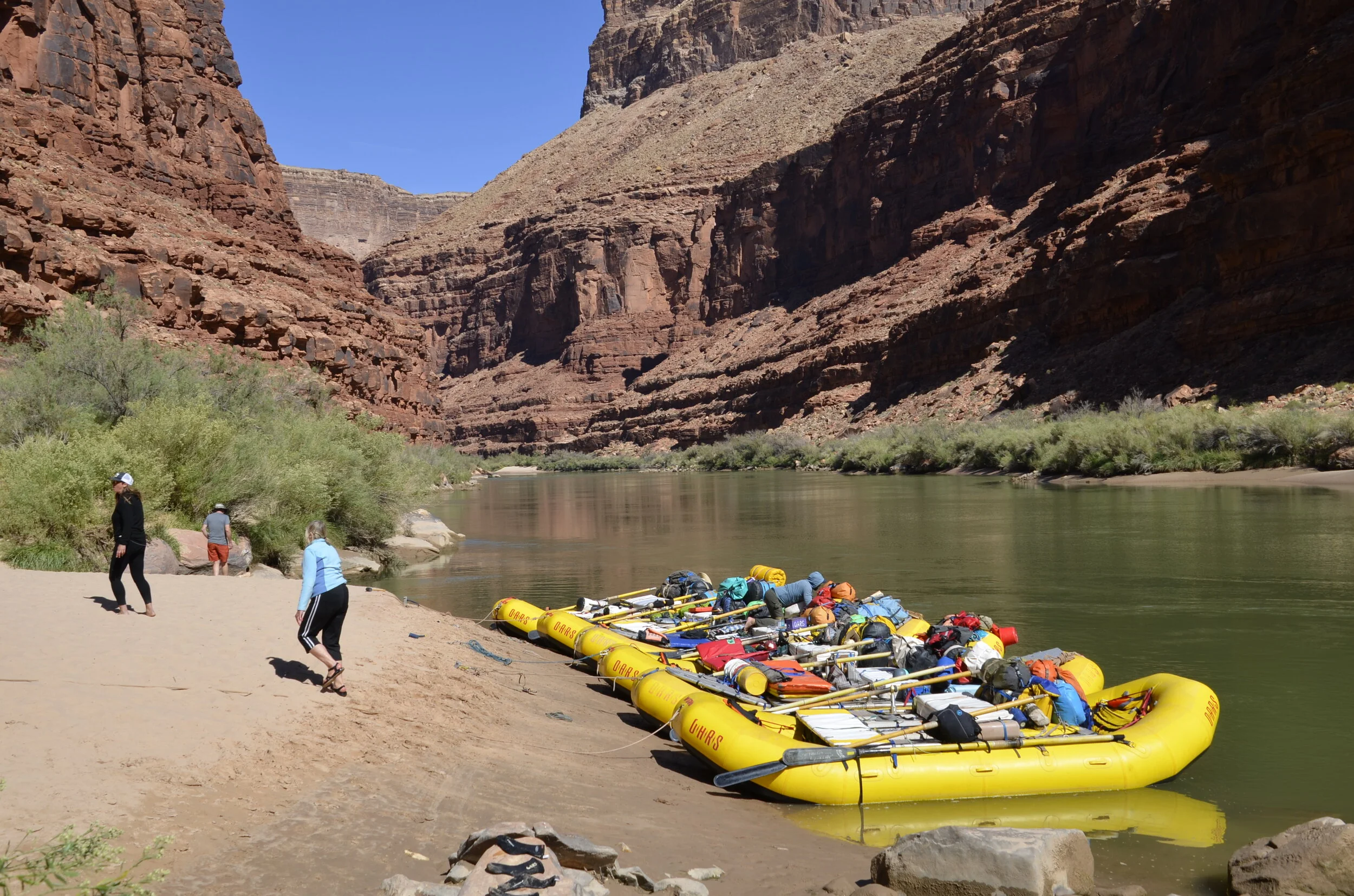
This is what it looked like when we came to a sand bar for either a lunch stop or camp for the night. We had 6 of the 14-18 ft rubber rafts that carried the 15 of us passengers and 6 crew, and all of our gear, as well as kitchen and food.

It was amazing how quickly we became accustomed to jumping out of the rafts, clambering up the sand, and finding a flat, relatively private place to put up our tent for the night. And then, returning to the rafts, to help the guides empty the rafts of gear, kitchen, folding chairs and toilet for our stay that night.

The guides were amazing in what they were able to “whip up” for dinner each night. Entrees ranged from lasagna, to burritos to ribeye steaks (cooked perfectly!) to chili to pasta alfredo with shrimp! We were expected to serve ourselves from the VERY ample amounts of food served; wash our dishes in the prescribed order of hot soapy or bleach water; and leave the clean dishes in a hanging bag to dry. Several evenings we even had fresh baked cake or brownies for dessert. Breakfast was commonly eggs and bacon, bagels and cream cheese or oatmeal, and gallons of strong, hot coffee.

_DSC8533.JPG

We saw bighorn sheep every day as we floated along, and I’ll have better pictures than this camera -shy ram, as we go on.

The geology was fascinating, as we floated down, to see the different layers come into sight, the deeper we passed into the canyon. I found this was the most interesting and unexpected highlight of the trip for me.

_DSC8561.JPG

We had absolutely gorgeous weather the whole trip - Oct. 12-27. There were only 2-3 days of some clouds, but otherwise, every day had beautiful, clear blue skies and temps in the high 70s - low 80s.

_DSC8549.JPG

We had expected a fair amount of hiking, but we did a LOT of hiking up side canyons. And yes, Steve was able to go on most hikes, as his ankle sprain was healing (somewhat). We saw some really neat rock formations -

_DSC8557.JPG

…as well as cool waterfalls.

_DSC8583.JPG

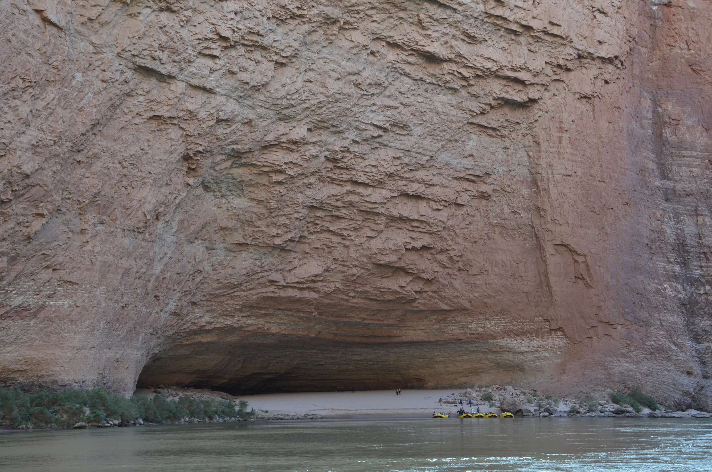
On our second morning, we stopped at Redwall Cavern -

_DSC8586.JPG

…to wander and play frisbee for awhile, before we settled on a sandbar downriver to tackle what was to be our most challenging “hike” of the trip. We climbed up Martha’s Crack, gamely following our leader across rock faces where we had to feel for our toe and finger holds…

_DSC8598.JPG

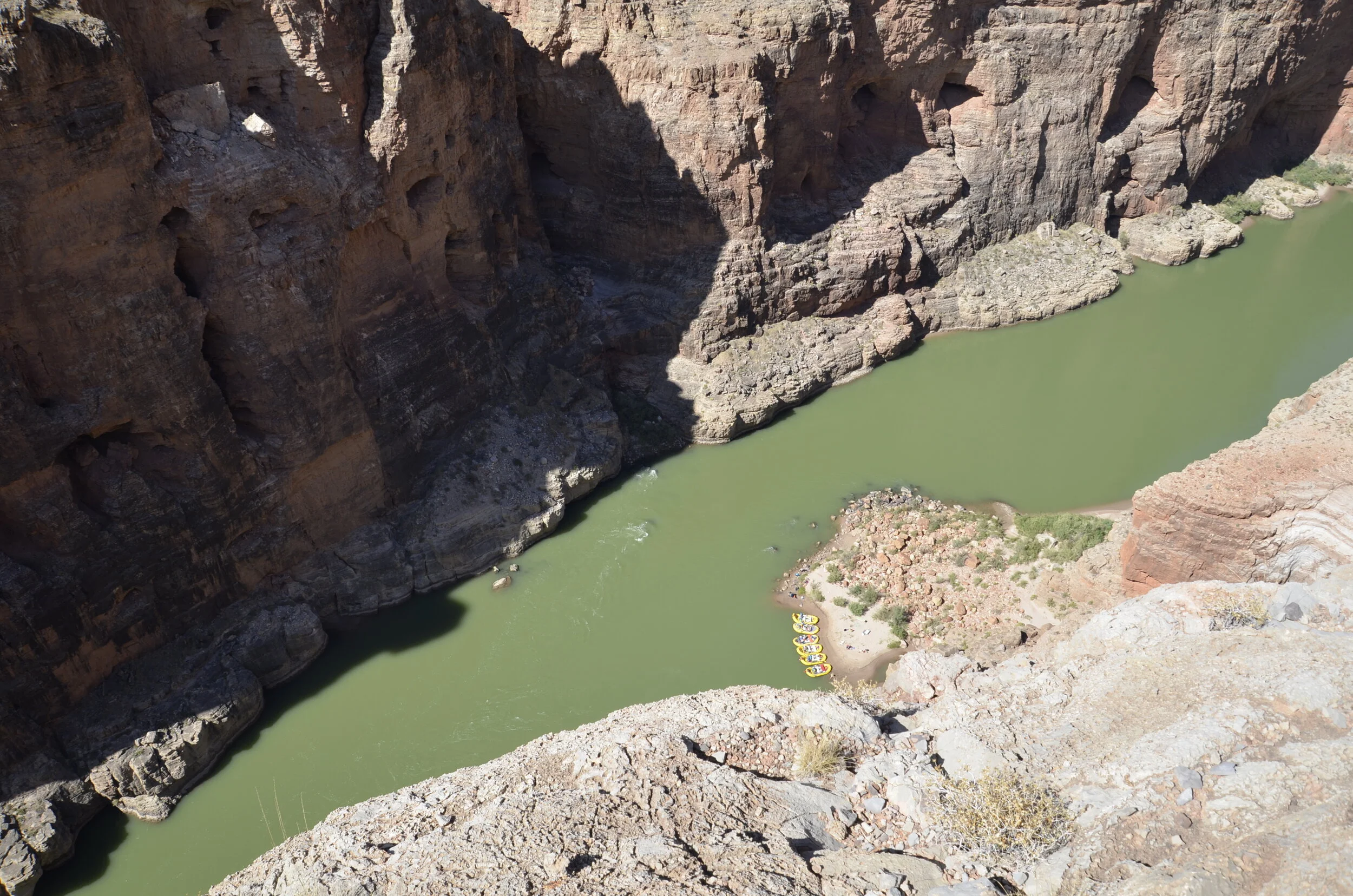
…and were rewarded by awesome views of the river…

_DSC8602.JPG

(and tiny boats)

_DSC8603.JPG

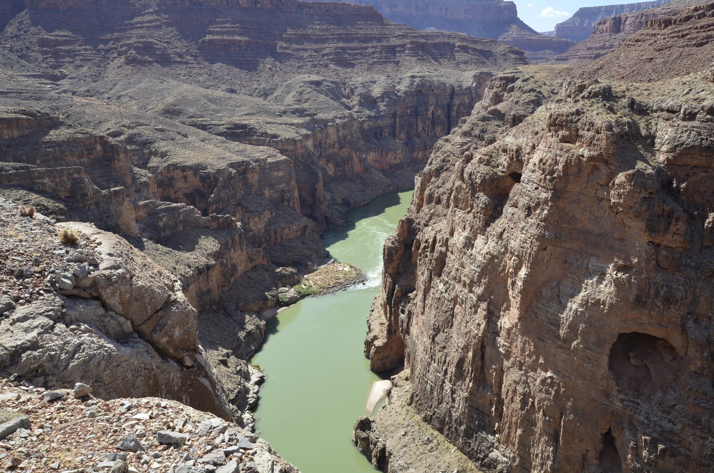
and canyon.

_DSC8605.JPG

As we continued downstream, there were constant awesome pictures of “wedding cake” cliffs -

_DSC8628.JPG

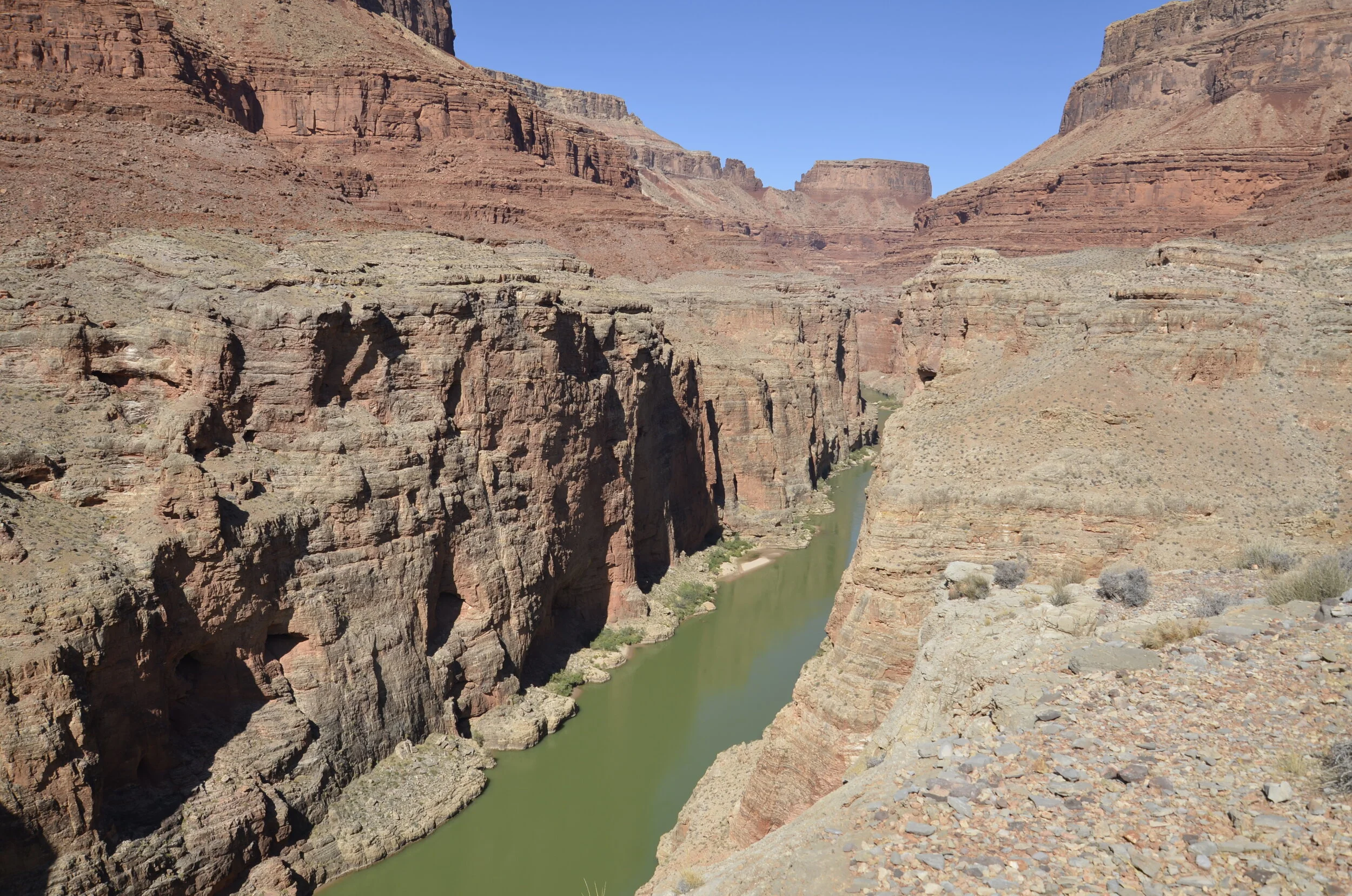
Throughout these posts of the Grand Canyon, there will be multiple views of sheer walls and the river (because I just kept saying “OMG, it’s so beautiful!”) -

_DSC8632.JPG

I also got some neat reflection pictures (more to come).

_DSC8644.JPG

The different colors in the walls due to the different types of rock were continually amazing.

_DSC8670.JPG
_DSC8682.JPG

This was our view from our camp one evening, so I’ll close this post with it.

_DSC8685.JPG

Sequoias, saguaros, Joshua and petrified trees

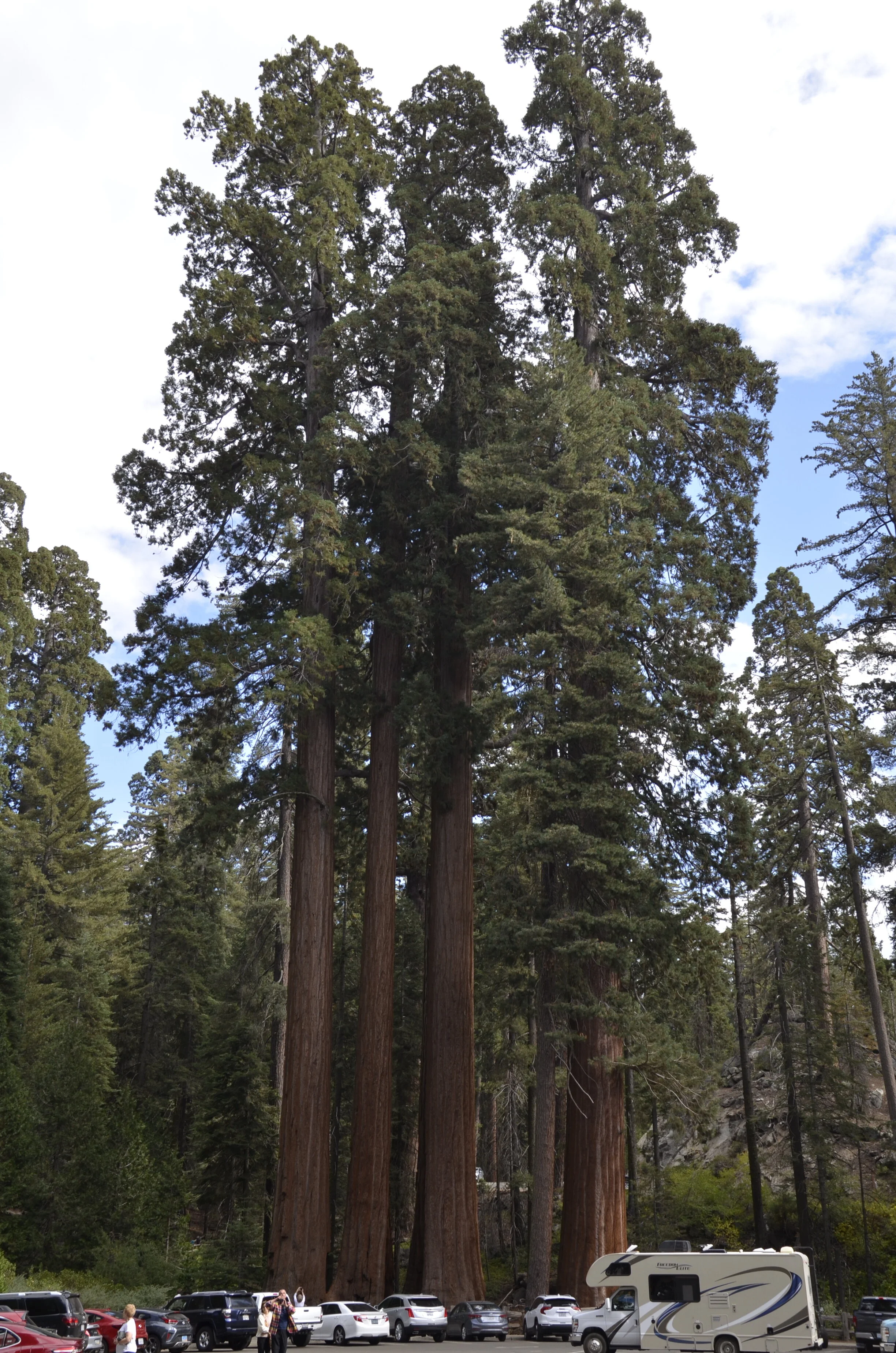
After Yosemite, we headed a little south to visit Sequoia Nat’l Park and King’s Canyon Nat’l Park. Man, those sequoias are some big dudes!

_DSC8275.JPG

The General Sherman tree is the largest known living single-stem tree by volume. It is estimated to be about 2,000 years old. (for scale, see the tiny human in the bottom left corner of the picture?):

_DSC8269.JPG

Fire damage and lichens created pretty contrasts -

_DSC8285.JPG

Their sheer size kept me walking around with my mouth open.

_DSC8288.JPG

I just liked this composition -

_DSC8286.JPG

Also in this park was Moro Rock, with a stair filled trail up it. At “only” 6,725 ft, I just had to climb it.

(enlarge the picture and find all the tiny humans)

(enlarge the picture and find all the tiny humans)

_DSC8209.JPG

The views were pretty spectacular for a relatively easy climb.

_DSC8223.JPG

Moving on to King’s Canyon, the drive was gorgeous, but it was hard to capture in a picture. It didn’t help that the clouds moved in and created large shadows.

_DSC8294.JPG
_DSC8298.JPG

From there, we headed south and east, still in CA, to Joshua Tree National Park.

_DSC8317.JPG

These aren’t really trees, but rather the largest variety of yucca in the US.

_DSC8324.JPG

They are said to have inspired Dr. Seuss’ Truffula trees in his book The Lorax.

_DSC8325.JPG

They dominate the area in the northern and more elevated portion of the park, but drop a few thousand feet and you’re suddenly in desert with lots of cholla cactus and nary a Joshua Tree.

_DSC8341.JPG

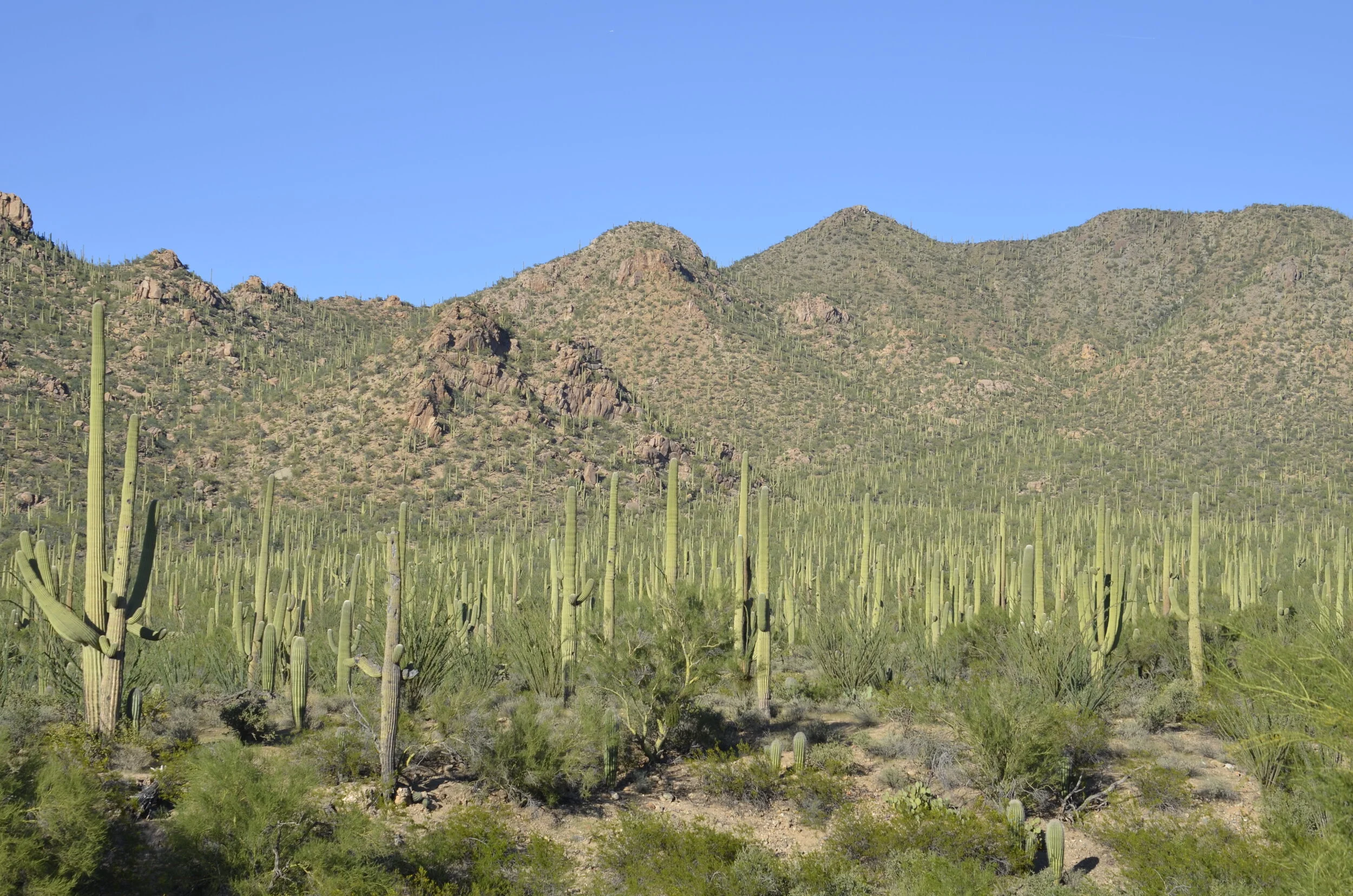
Now we headed east into Arizona and ended up in Tucson, so we could visit the Saguaro National Park (sensing a pattern to our travels?). There was a veritable forest of them!

_DSC8360.JPG

In the next picture, you can see 6 different cacti (counterclockwise from left) - ocotillo, prickly pear, chainfruit cholla, (tiny) fishhook cactus, barrel cactus and saguaro.

_DSC8375.JPG

Even the fruit of the prickly pear have spines.

_DSC8404.JPG

This picture is for Steve. He really likes when the moon is out in the day.

_DSC8426.JPG

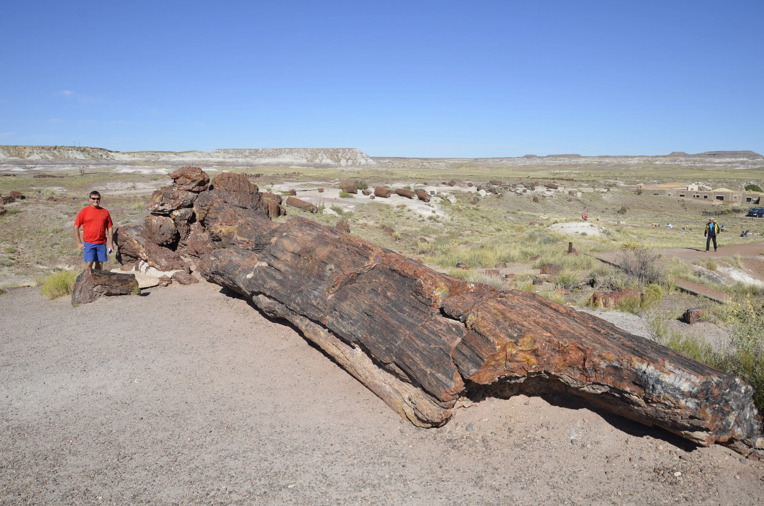
Heading north in AZ, we visited Petrified Forest National Park. It was amazing how much wood was just lying out in the open…

_DSC8475.JPG

and how big some of them were.

_DSC8460.JPG

We walked by some gorgeous cross sections…

_DSC8469.JPG

…as well as others that looked like they had fallen just recently (yes, that’s stone. I tapped on it to be sure.)

_DSC8482.JPG
_DSC8484.JPG

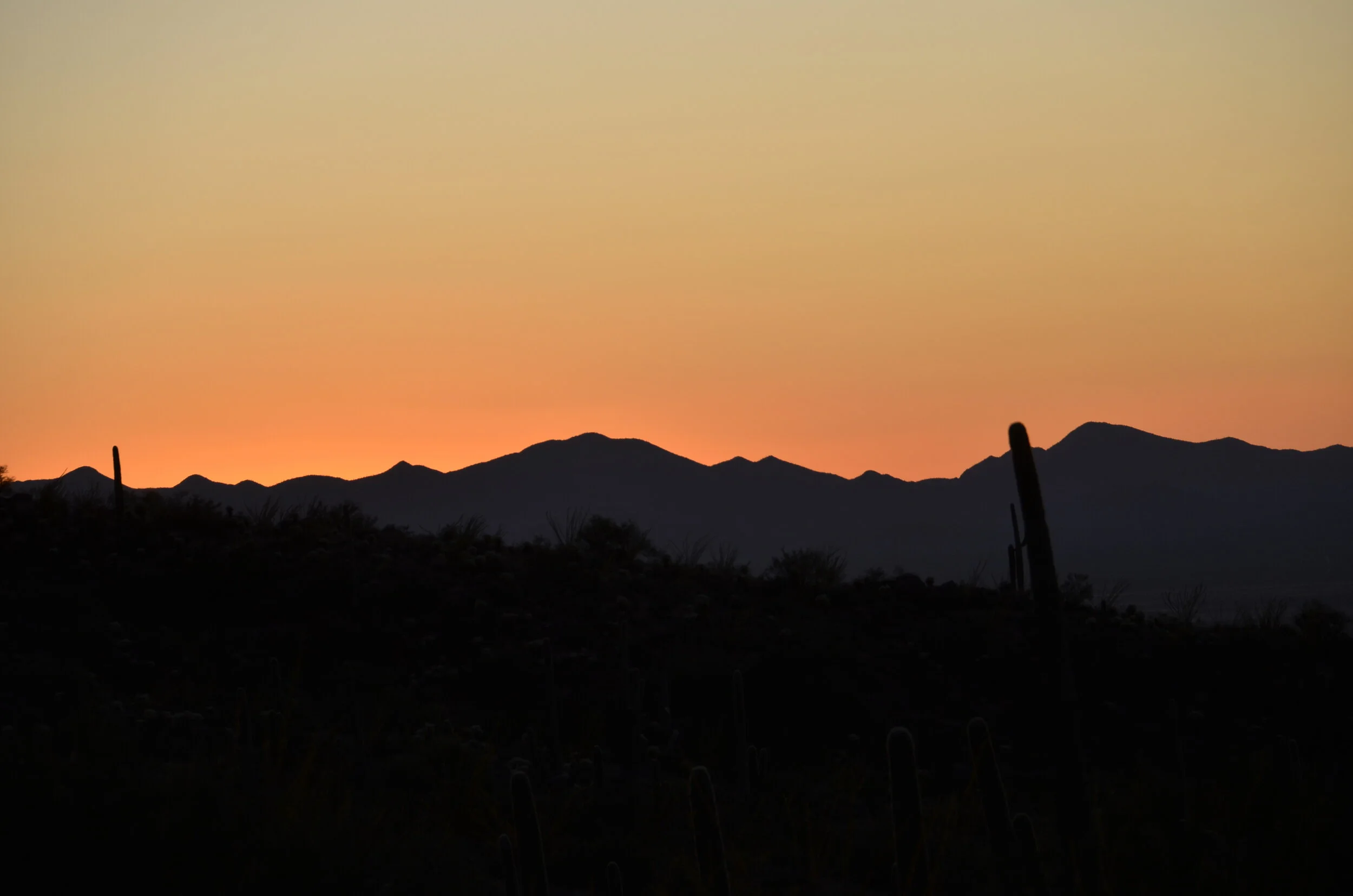
I’ll leave you with a sunset shot back in Saguaro Nat’l Park.

_DSC8447.JPG

From mountain top to desert basement

Over two days, we traveled from Great Basin National Park in eastern Nevada to Death Valley National Park in southern California. Great Basin is described as a “desert mountain island”. There are many high desert basins between the Sierra Nevadas and Utah’s Wasatch mountains. On the road to Wheeler Peak, we started with desert sagebrush and ended over 10,000 ft, passing aspens in snow on the way.

IMG_20191003_145628.jpg

I have to throw in a shot of Wheeler Peak (13,063 ft).

_DSC8032.JPG

I hadn’t seen the really ancient Bristlecone pines that Steve had (on a previous RV trip with the boys in 2002), and since his ankle was still bum, he again sat in the car and read, while I hiked up to a grove of Bristlecones.

_DSC8049.JPG

The trail was a bit challenging at times, to say the least.

I was waaayyyy above the desert basin we left that morning -

_DSC8060.JPG

Bristlecones are some of the longest lived life forms on the planet. A number of trees in this grove were over 3,000 years old.

_DSC8063.JPG

I thought their branches looked like bottle brushes, and you can see why they have the name, bristlecone:

the bristlecone is on the right, and a limber pine is on the left

the bristlecone is on the right, and a limber pine is on the left

_DSC8071.JPG

This one looked nearly dead, but there were still live branches on it. It’s 3200 yrs old.

_DSC8093.JPG

Another natural work of art:

_DSC8098.JPG

Nevada is pretty empty -

_DSC8141.JPG

Steve was kept entertained by tracking how many miles of absolutely straight road was ahead of us.

yes, I stood on the center line of the highway, with no cars for miles

yes, I stood on the center line of the highway, with no cars for miles

There were numerous stretches of 15 - 20 miles without a single curve or bend, and the longest one was over 23 miles!

Death Valley actually was quite hilly…

_DSC8153.JPG
_DSC8162.JPG

…and had some gorgeous formations.

_DSC8152.JPG

You could be looking at a moonscape in front of you, and when you raised your head you saw the “Artist’s Pallete”.

_DSC8163.JPG

On to the basement -

_DSC8176.JPG

You could walk for however far you’d like on the salt flats.

_DSC8177.JPG

Interesting salt patterns:

_DSC8180.JPG

Not sure how to end this post, I’ll include a couple of shots from Yosemite, where we spent a couple of days with our son, his wife and friends.

Late afternoon light on Half Dome -

_DSC8194.JPG

Until next post…

IMG_20191004_190542.jpg

Bryce Canyon National Park

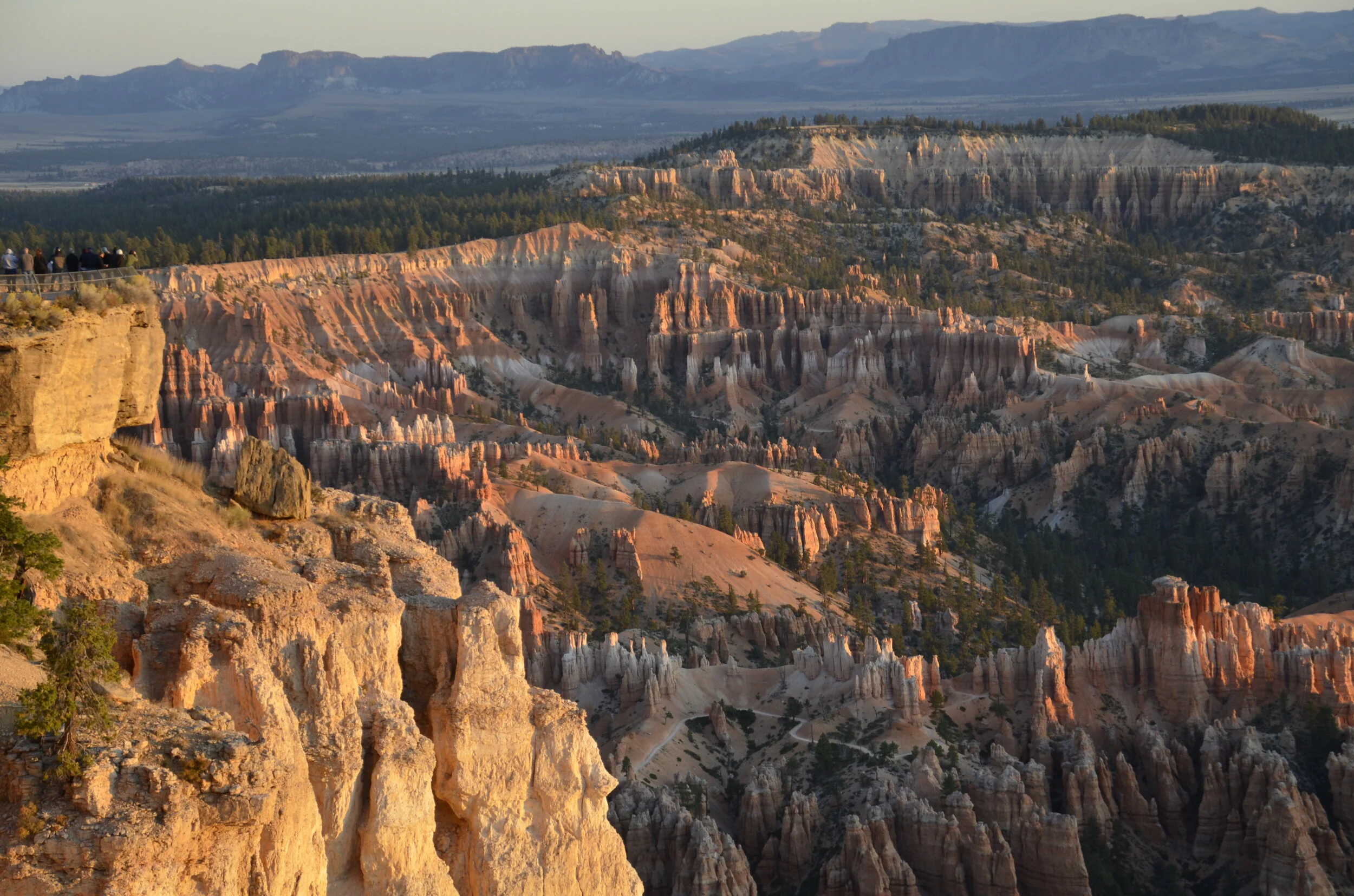
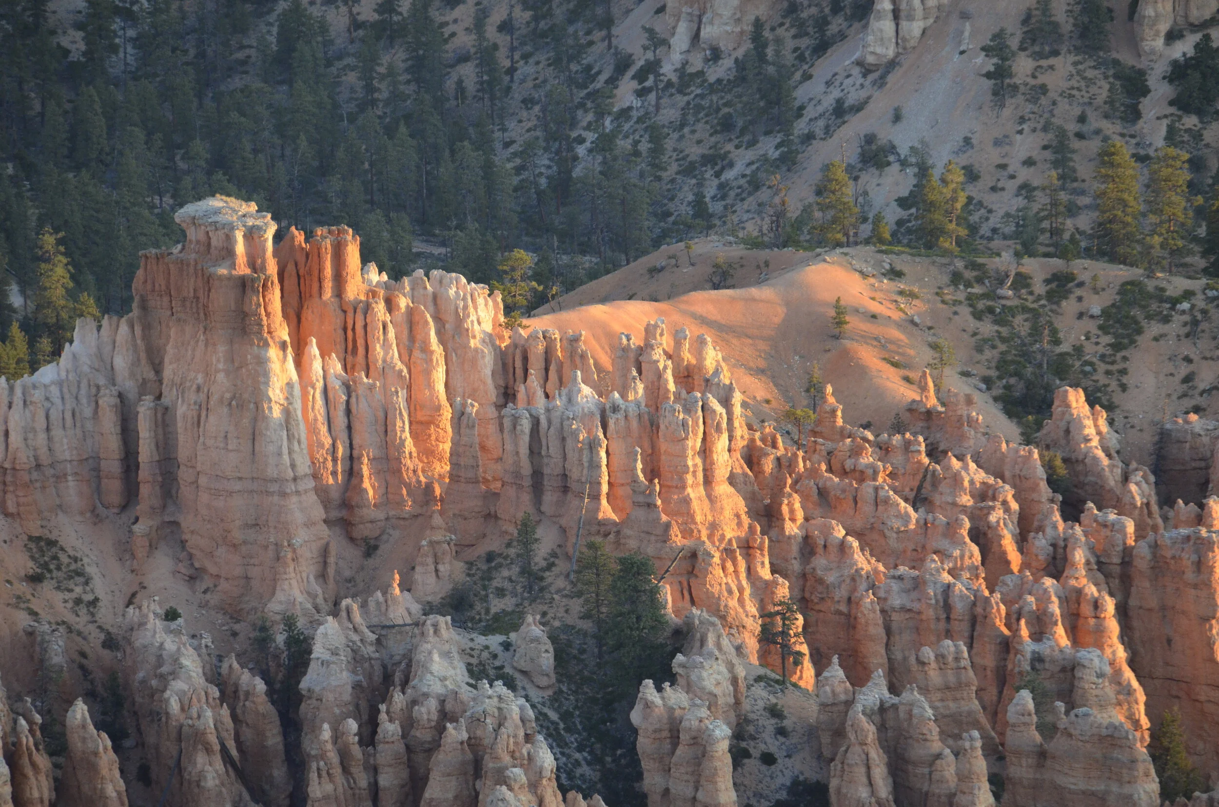
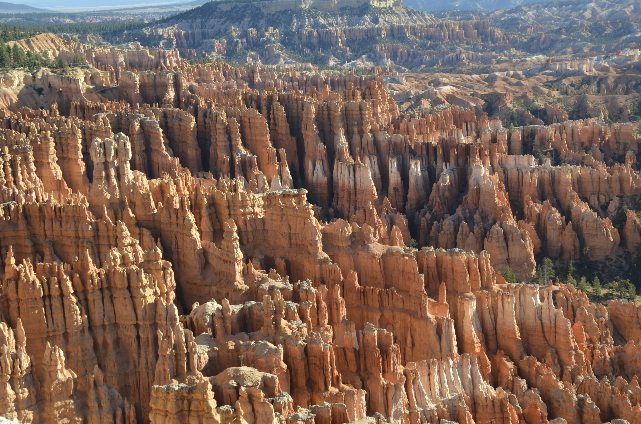
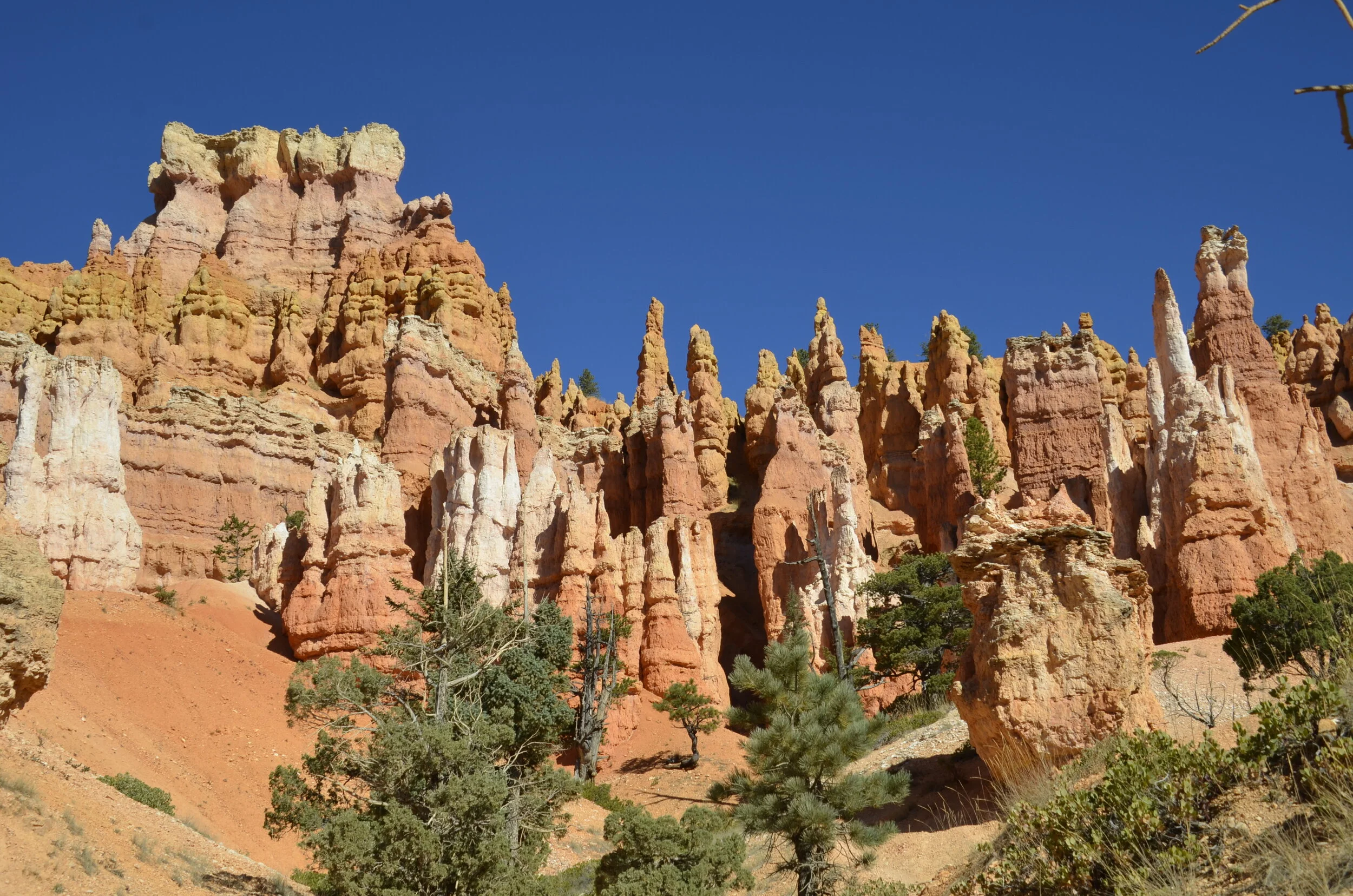
The rock formations here are called hoodoos. They are super numerous and gorgeously colored. This was our first view as we approached the park from the east -

_DSC7757.JPG

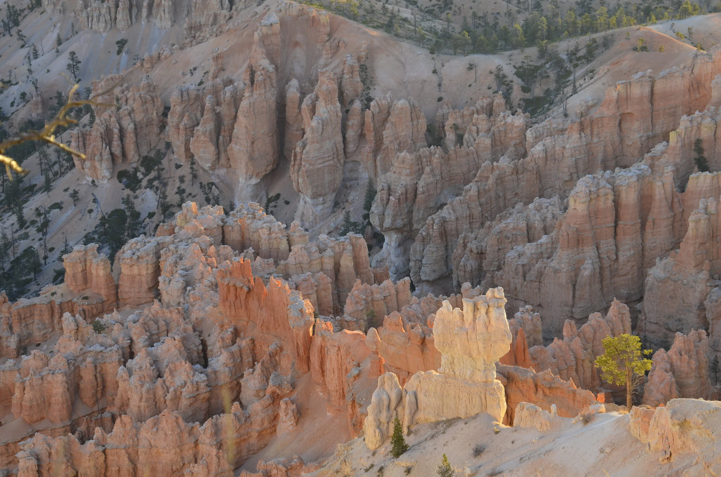
The colors would morph from white to peach to orange.

_DSC7760.JPG

The lengthening sun’s rays on our first afternoon’s drive really made the stone glow.

_DSC7768.JPG

Kudos to Steve for this great picture of the Natural Bridge:

IMG_20191001_171702.jpg

Shadows were getting long, as we headed to our room for the night -

_DSC7790.JPG

Steve reluctantly went out early the next morning with me, to catch sunrise….

_DSC7804.JPG

…and as it hit the Amphitheater:

_DSC7808.JPG
_DSC7809.JPG

This formation really shows the early rays lighting it up -

_DSC7820.JPG

We drove on into the park to catch other areas in the early light.

_DSC7846.JPG

Some areas had such numerous formations that it was mind blowing.

_DSC7853.JPG

Again, Steve had to let me go by myself on a hike “below the rim” while he nursed his sprained ankle and gamely read a book for a few hours.

_DSC7865.JPG

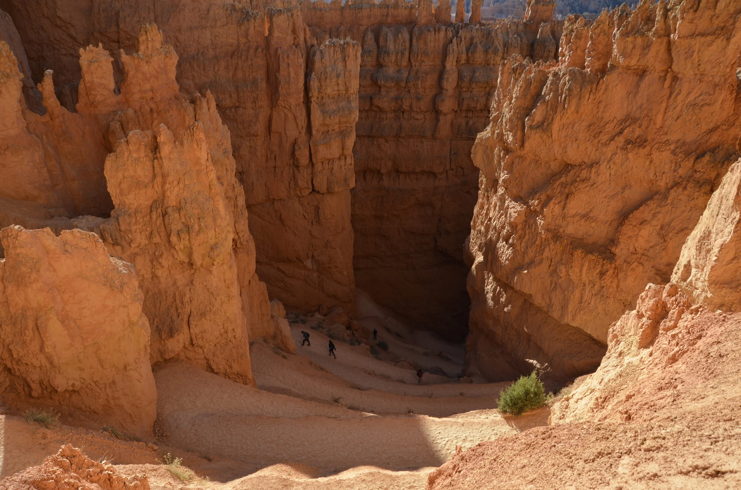
I proceeded down through Wall Street -

_DSC7869.JPG

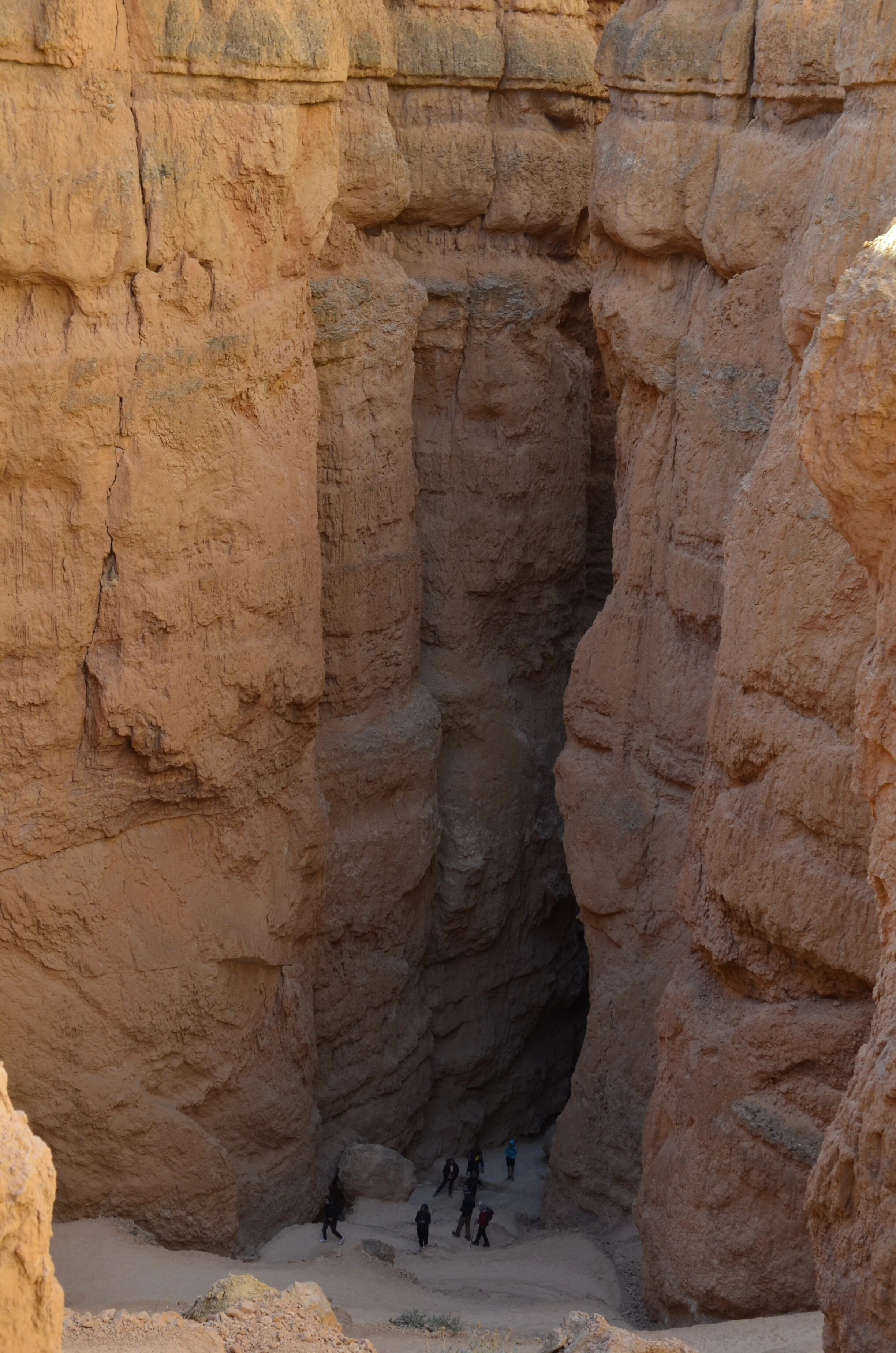
and enjoyed the views back up -

_DSC7878.JPG

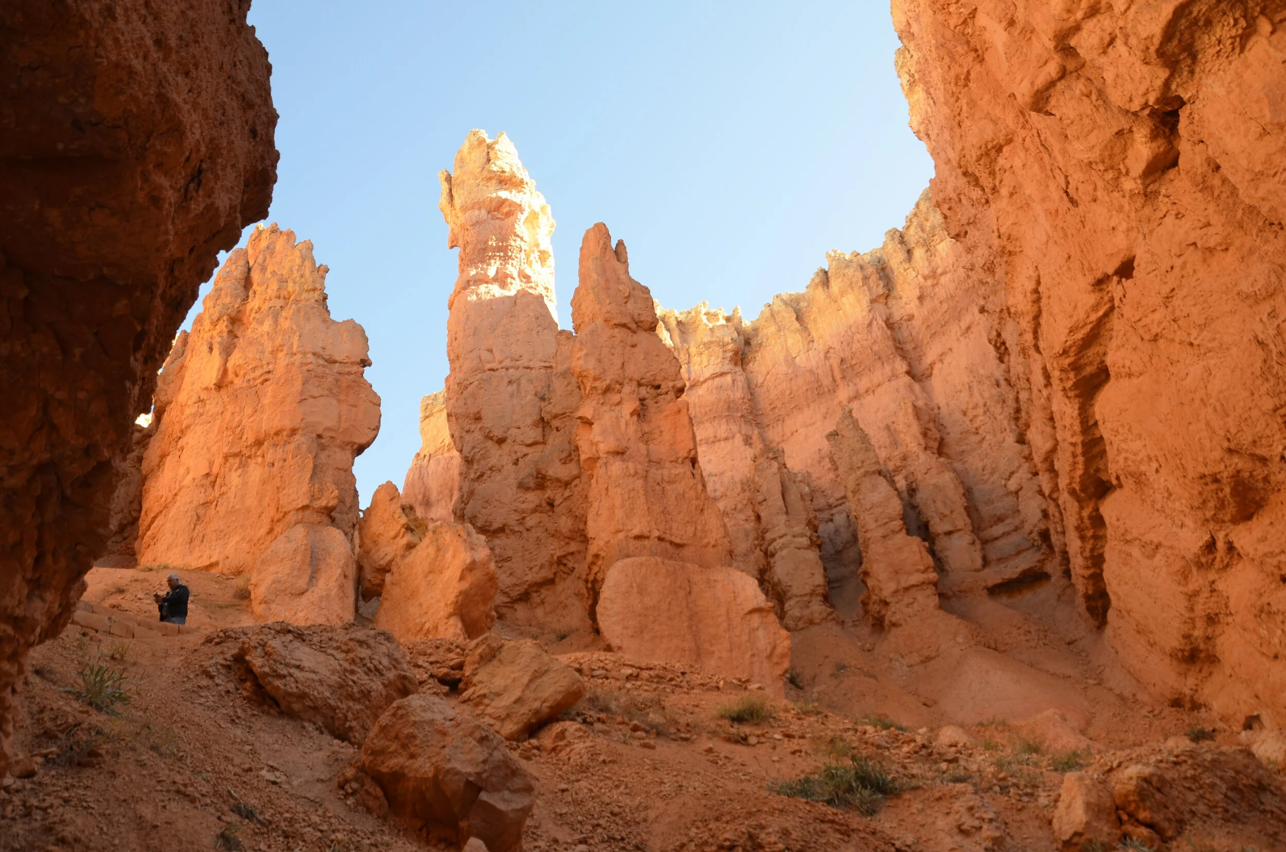
This is aptly named for the high walls and narrow canyon:

_DSC7871.JPG

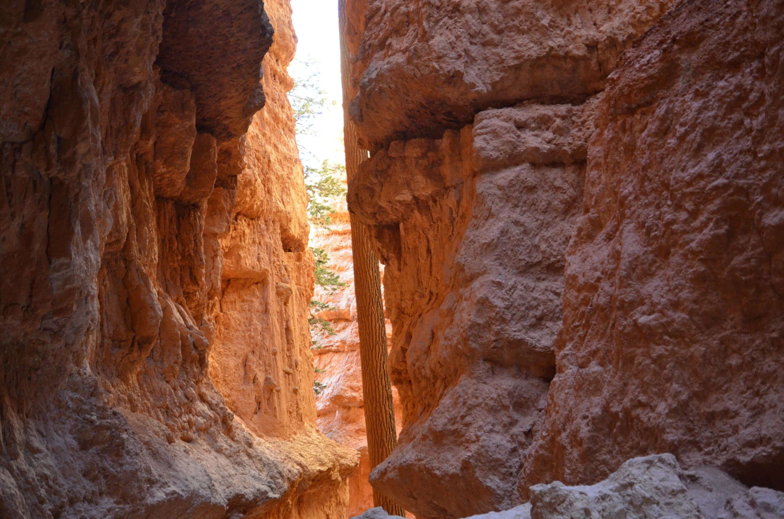
It was really cool near the bottom how the early morning sun made the exit glow -

(the walls are straight; it’s the tree that’s leaning)

(the walls are straight; it’s the tree that’s leaning)

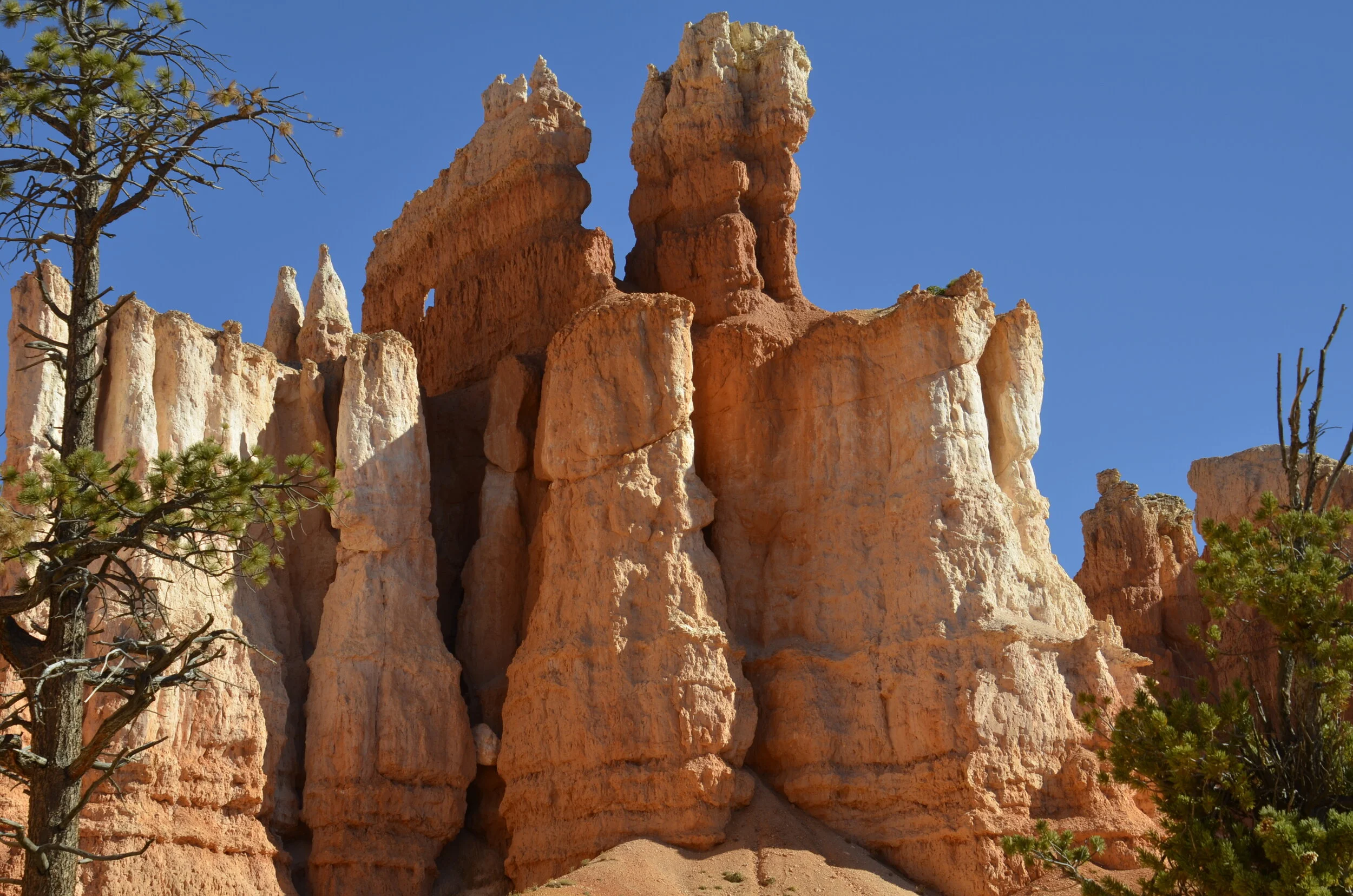
Again, the white, pink and orange:

_DSC7892.JPG

Walking down into the valley, I kept coming across neat formations and windows.

_DSC7907.JPG

In the Queen’s Garden, I even found some yellows -

_DSC7920.JPG

Natural art:

_DSC7928.JPG

For scale, see all the little people at the top and in the center left of the next picture?

_DSC7934.JPG

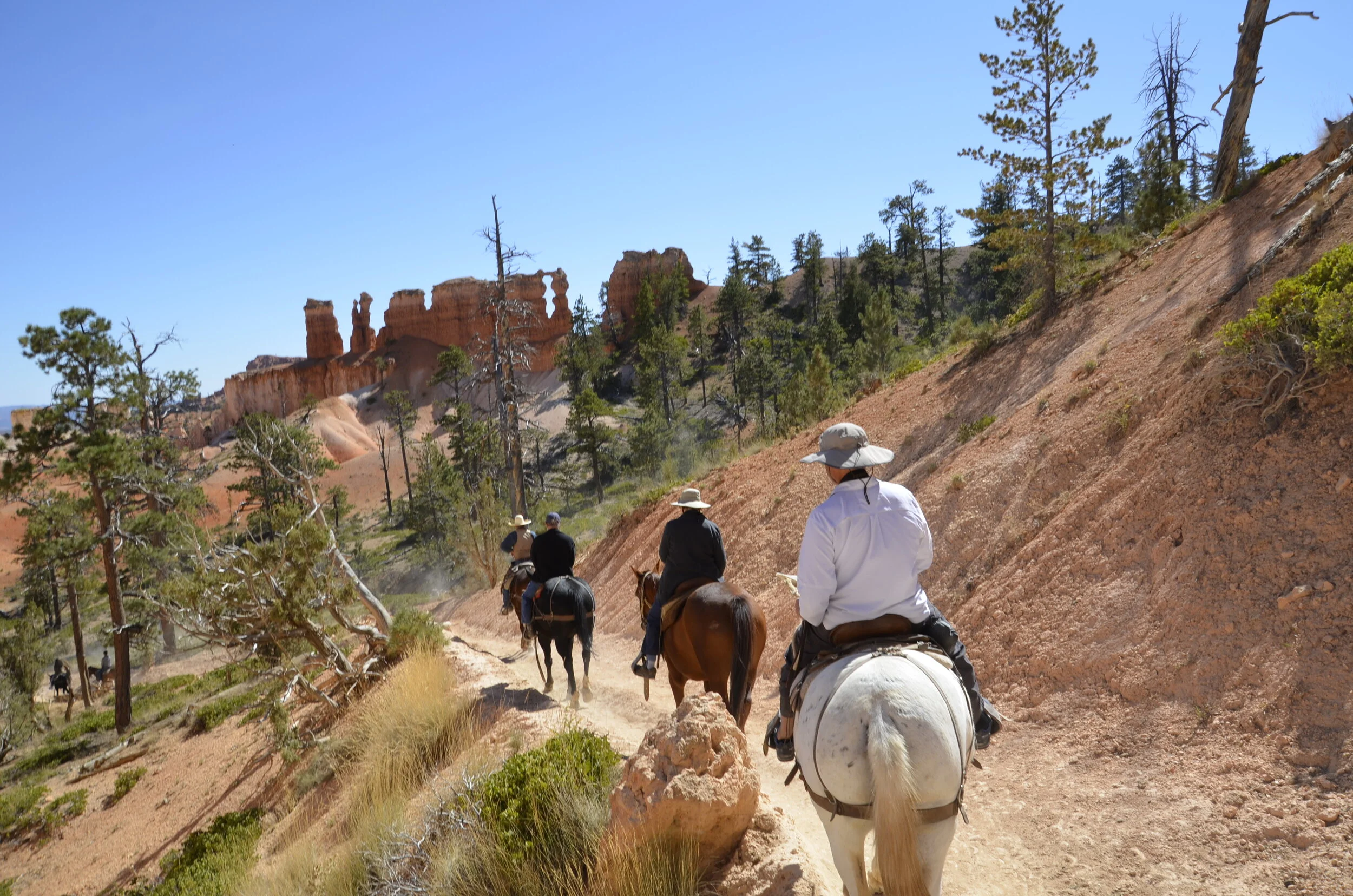
We went on a mule ride into the canyon, so Steve could share in some of the beauty. First, he had to get his steed to move -

_DSC7969.JPG

Can you find the “naked lady window” that we rode by?

_DSC7979.JPG

Looks like “Rock Power” to me -

_DSC8005.JPG

Neither of us fell off, but I walked bowlegged for the rest of the afternoon!

I’ll close with another piece of natural art:

_DSC7951.JPG

Capitol Reef Nat'l Park and Kodachrome Basin State Park

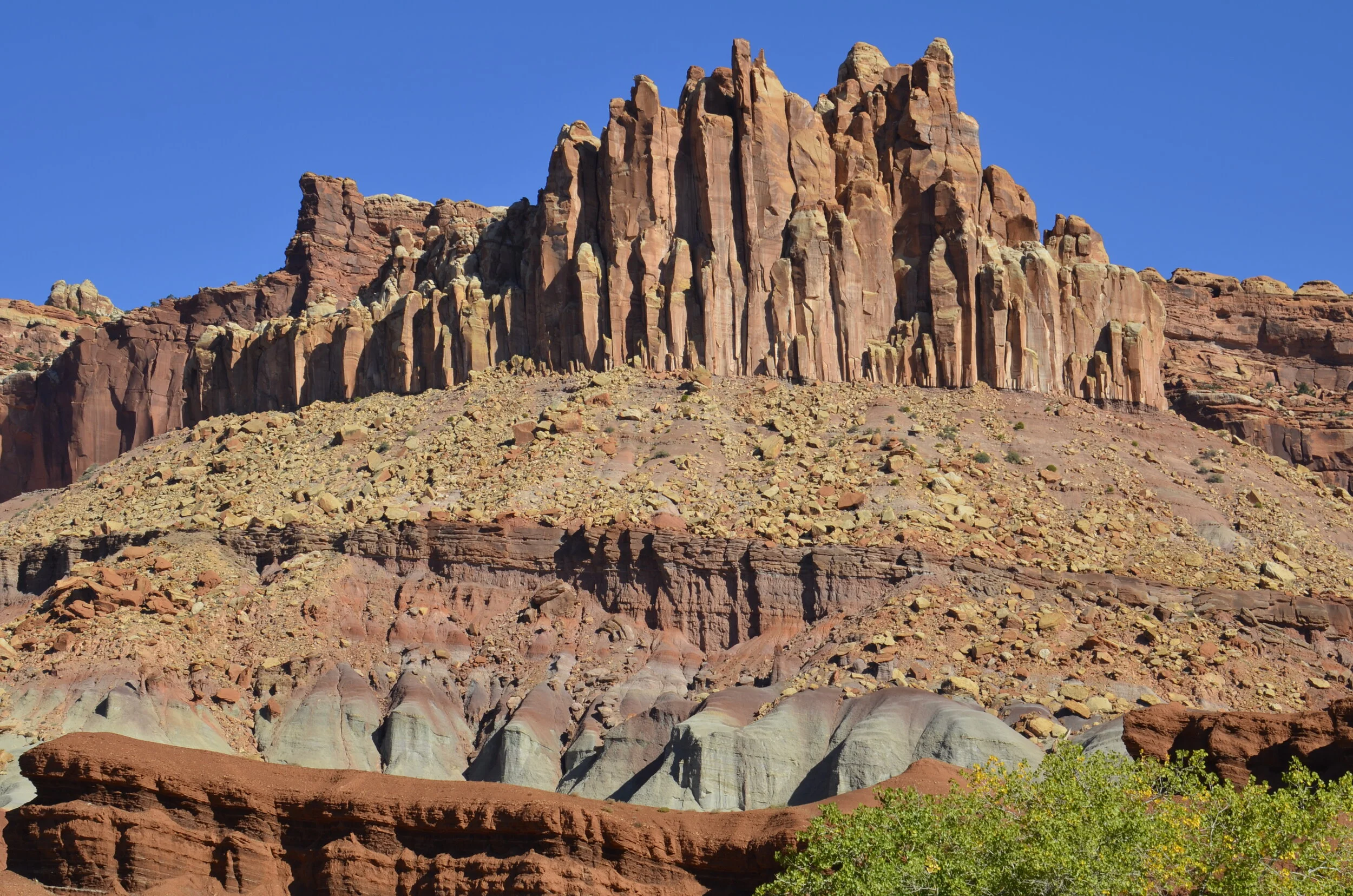
Since we were in southern Utah, we were obligated to visit “the mighty five” national parks. As you remember, we explored Arches and Canyonlands, so the next one further west was Capitol Reef. It’s not nearly as widely known as the others (with Bryce and Zion rounding out the five), but it sure has some pretty layers of rock…

_DSC7687.JPG
_DSC7689.JPG

…and some interesting signs:

_DSC7692.JPG

Alas, we didn’t see any in the flesh.

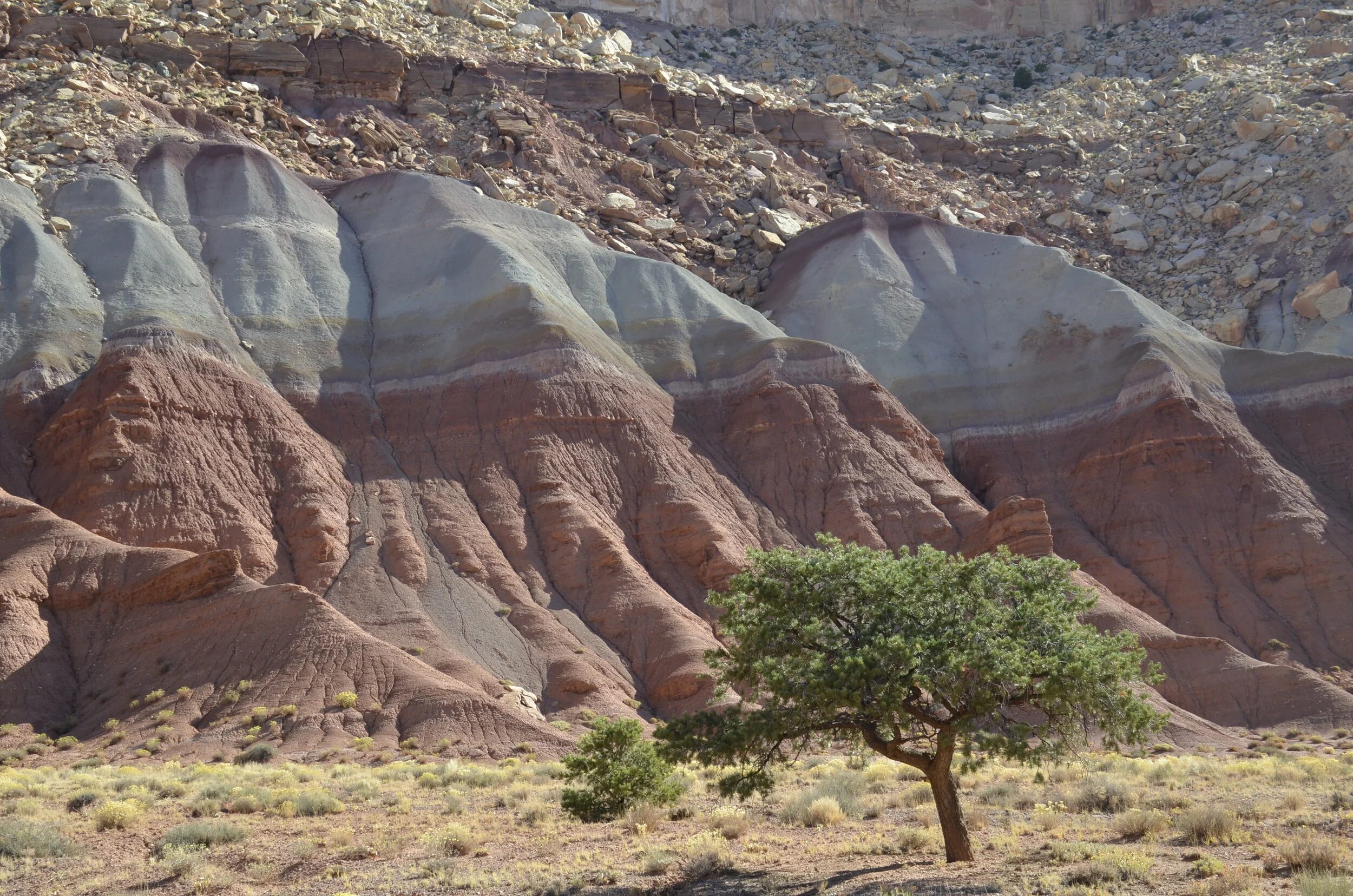
I really liked the purple cap on the blue:

_DSC7697.JPG

A beautiful wall…

_DSC7701.JPG

…that led into Capitol Gorge. This dirt road was actually used until 1962 to traverse the park, before the paved state highway 24 was built and made the park much more accessible.

_DSC7715.JPG

Some “desert varnish” (present on stable rock surfaces, caused by oxidation of iron and manganese) at the top of the walls:

_DSC7713.JPG

On the road between Capitol Reef and Bryce was Kodachrome Basin State Park. I wanted to check it out, because I had read that the rock formations occurring there are found nowhere else in the world.

_DSC7732.JPG

They are sedimentary pipes, and there are several theories on how they were formed - which means scientists don’t really know. They may be remnants of ancient springs that became choked with sediment, which cemented together and were more erosion resistant than the surrounding rock.

_DSC7736.JPG

This one was nicknamed “Big Stoney”. Wanna guess why?

_DSC7744.JPG

Another unique formation:

_DSC7748.JPG

A quick reminder - none of my pictures have been enhanced; the colors are really that dramatic.

Now, on our way to the next post about Bryce, we must keep driving through this countryside -

_DSC7755.JPG

Goblin Valley State Park and Little Wild Horse Canyon

I’ll resume my posts on beautiful southern Utah, now that we’ve returned from our rafting trip through the Grand Canyon. Of course, that will be covered in future posts!

I really liked the name of this state park, and it took some doing to get there. We drove up from the SE corner of UT, to nearly the center of the state, to visit this interesting place. The alternating layers of hard sandstone and soft siltstone created goblins after wind and water erosion, while the formations in Arches occur because the substrate was mostly hard sandstone.

_DSC7595.JPG
_DSC7602.JPG

I went wandering down into the valley, and thought that a lot of the formations looked like they were made from Silly Sand (remember that from the late ‘60’s?).

_DSC7605.JPG

The erosion created some pretty fanciful shapes:

_DSC7620.JPG
_DSC7621.JPG

The road leading away was gorgeous in its own right -

_DSC7626.JPG

Nearby… down yet another long dirt road, we came to probably my favorite place we’ve visited so far. I had read about Little Wild Horse Canyon as a slot canyon that was accessible to everyone, and that you didn’t need technical gear to get through it.

The cottonwood sentinel in the wash leading to the canyon:

_DSC7657.JPG

The beginning of the canyon:

_DSC7627.JPG

I loved the variety of both colors and textures -

_DSC7630.JPG
_DSC7637.JPG

As I advanced further in, the trail became narrower…

_DSC7636.JPG

…and more sinuous.

_DSC7645.JPG

Steve had recently sprained his ankle, and couldn’t accompany me. So, I shot some video to share the experience with him (and you!).

More shots to share the curves and the colors:

_DSC7650.JPG

(the narrowness surprised me)

_DSC7651.JPG

This beautiful wall showed me the way out of the wash -

_DSC7658.JPG

As we headed to our B&B near Capitol Reef National Park, we took the roundabout way (taking 3 hours) on a dirt road…

_DSC7664.JPG

…and reveling in the gorgeous scenery:

_DSC7659.JPG

We climbed out of there on some pretty tight switchbacks -

_DSC7668.JPG

…and said goodbye to yet another breath-taking vista.

_DSC7670.JPG

Various Utah Parks and Monuments

We have been to so many different places in such a short time, but of course I took LOTS of pictures. I’ll share a smattering with you, in this post.

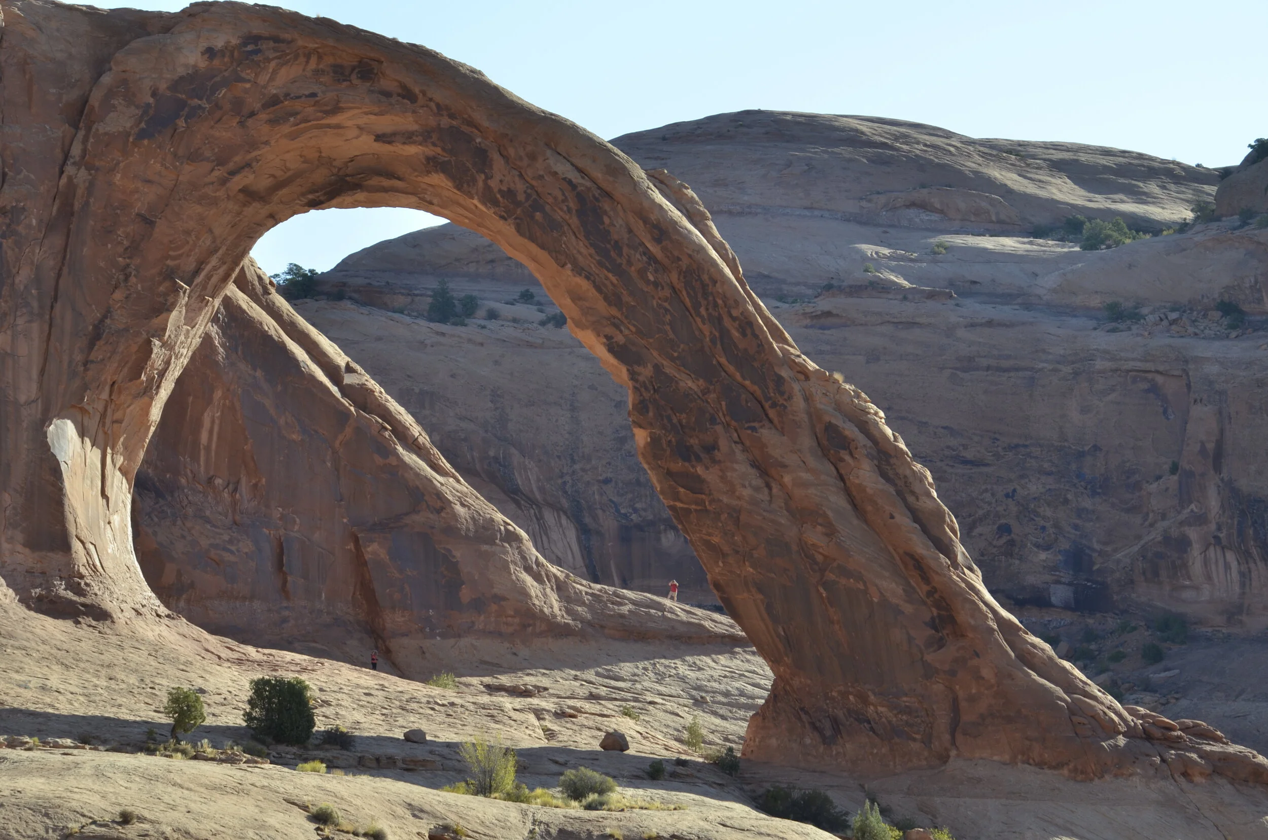
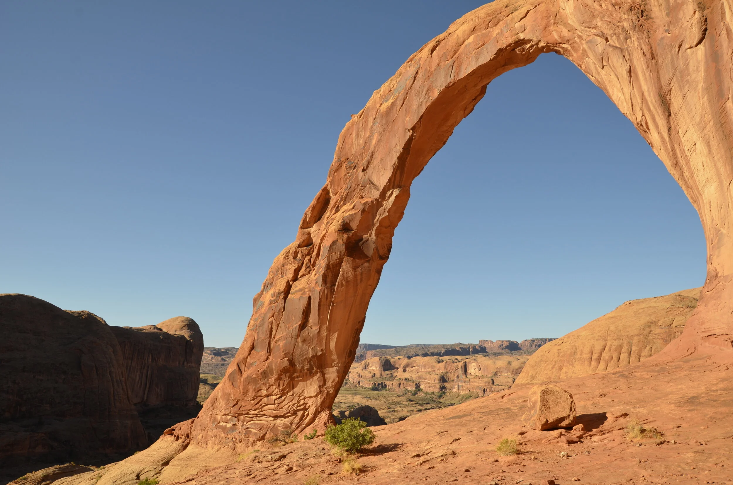
While still in Moab, we went on one of our favorite hikes - for the destination. Unfortunately, it was the site of Steve’s ankle sprain. Corona and Bowtie Arches aren’t even in a park or monument, but are easily reached outside of town. Our first glimpse of Corona Arch was an optical illusion, hiding the arch in the background rock.

_DSC7407.JPG

As we walked closer, you could see the arch clearly…

_DSC7411.JPG

…as well as rounding the corner, and finding Bowtie Arch (a pothole type).

_DSC7422.JPG

This was a massive arch (as you can see by the tiny person in the picture below), but because it wasn’t in the national park, we only had to share it with a few other hikers.

_DSC7418.JPG

Steve took this video to show the isolation and beauty of the surrounding area, including the “secret grotto” that was around behind the arch:

A last shot, before we move on -

_DSC7441.JPG

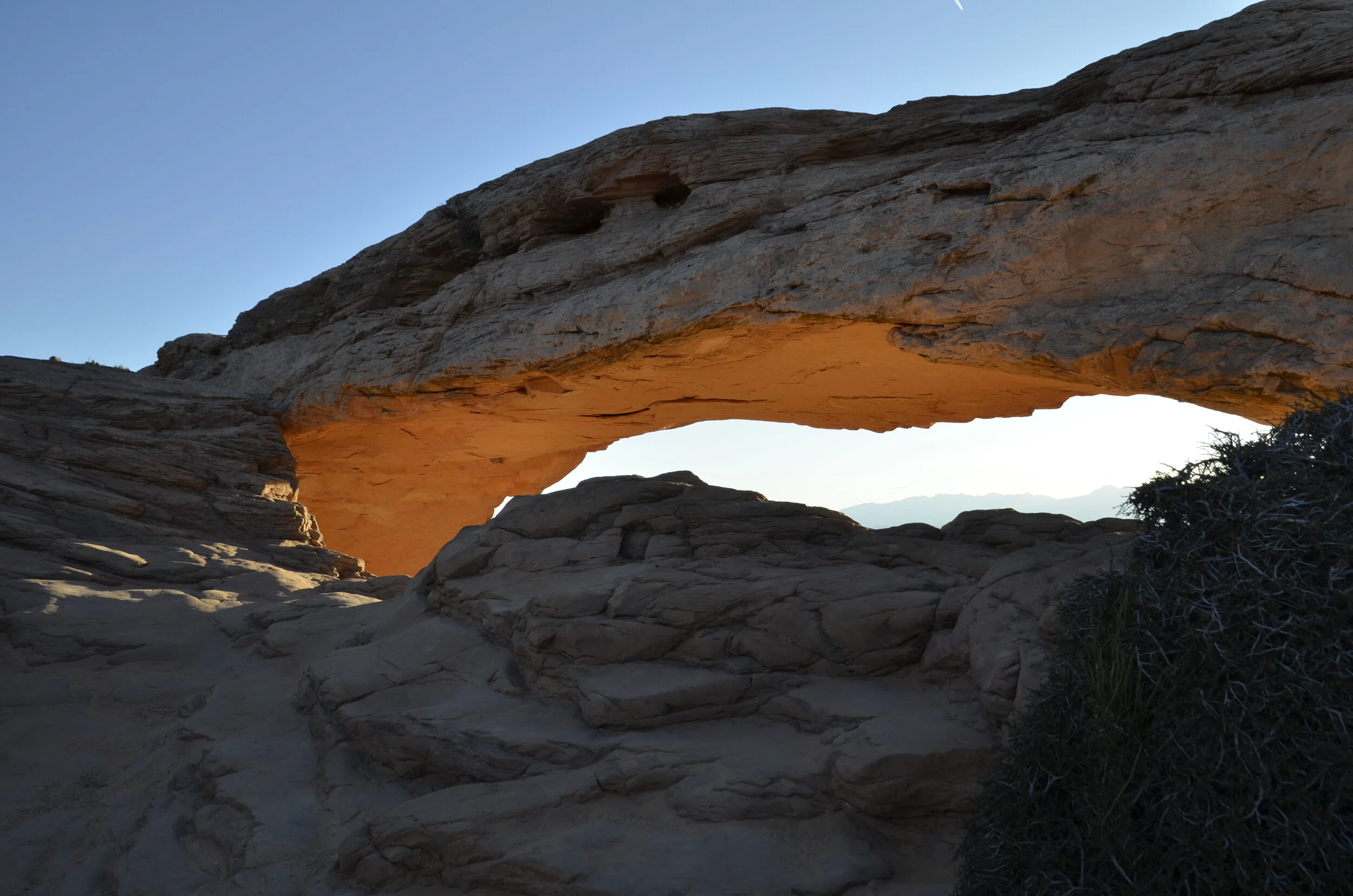
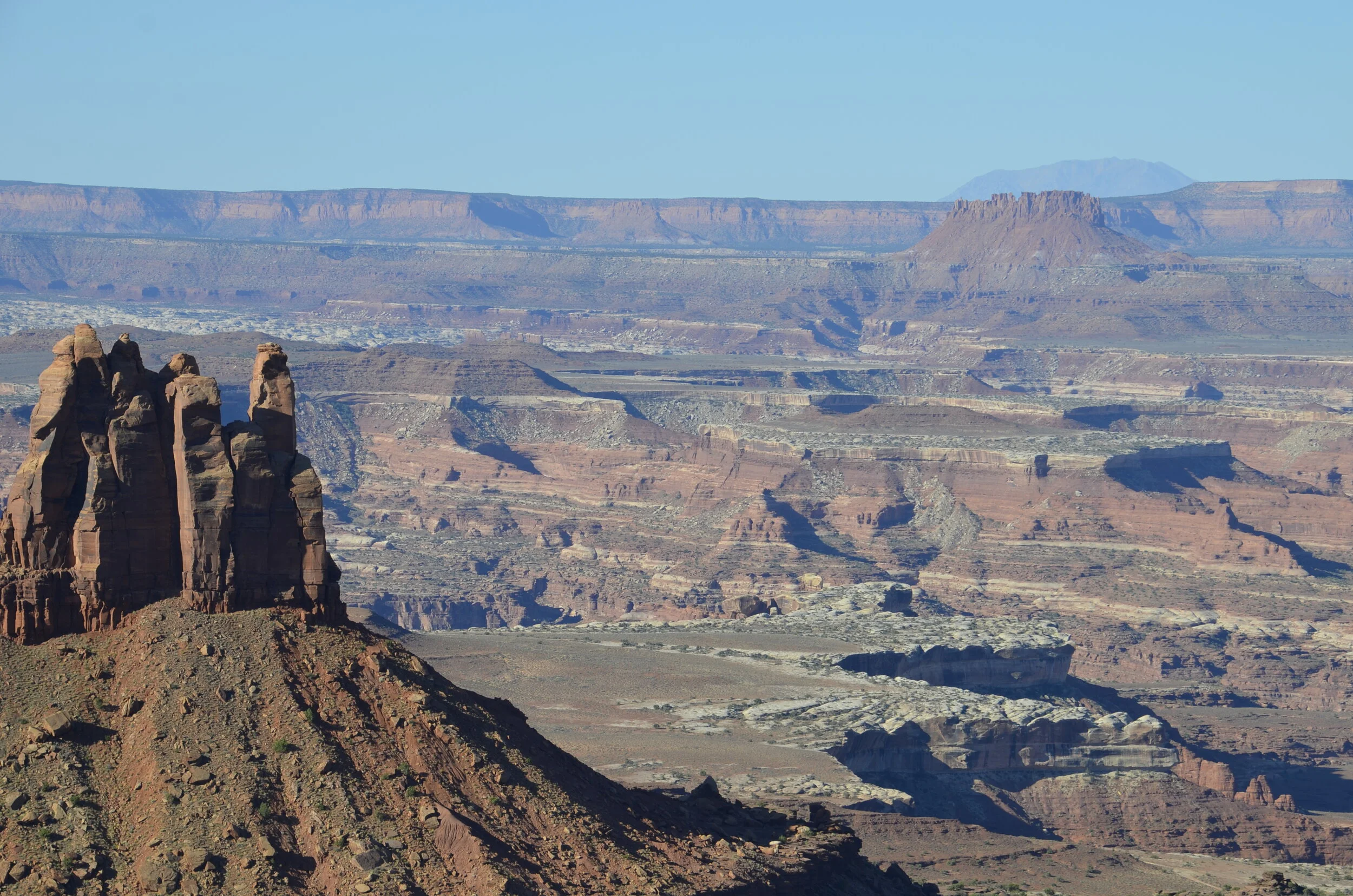
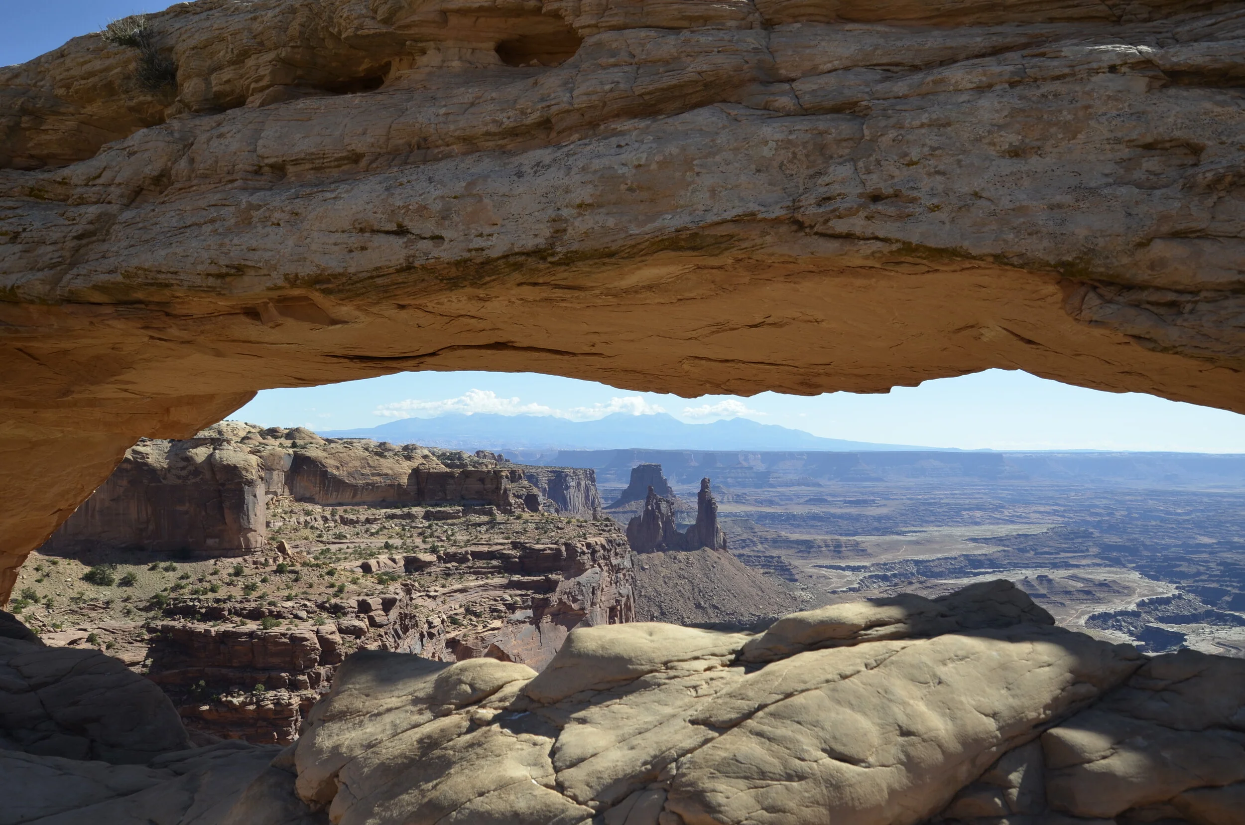
Canyonlands is an enormous national park, with several different sections, spaced many miles apart. We went to Islands in the Sky part while we were in Moab, and caught early morning light on Mesa Arch there.

_DSC7201.JPG

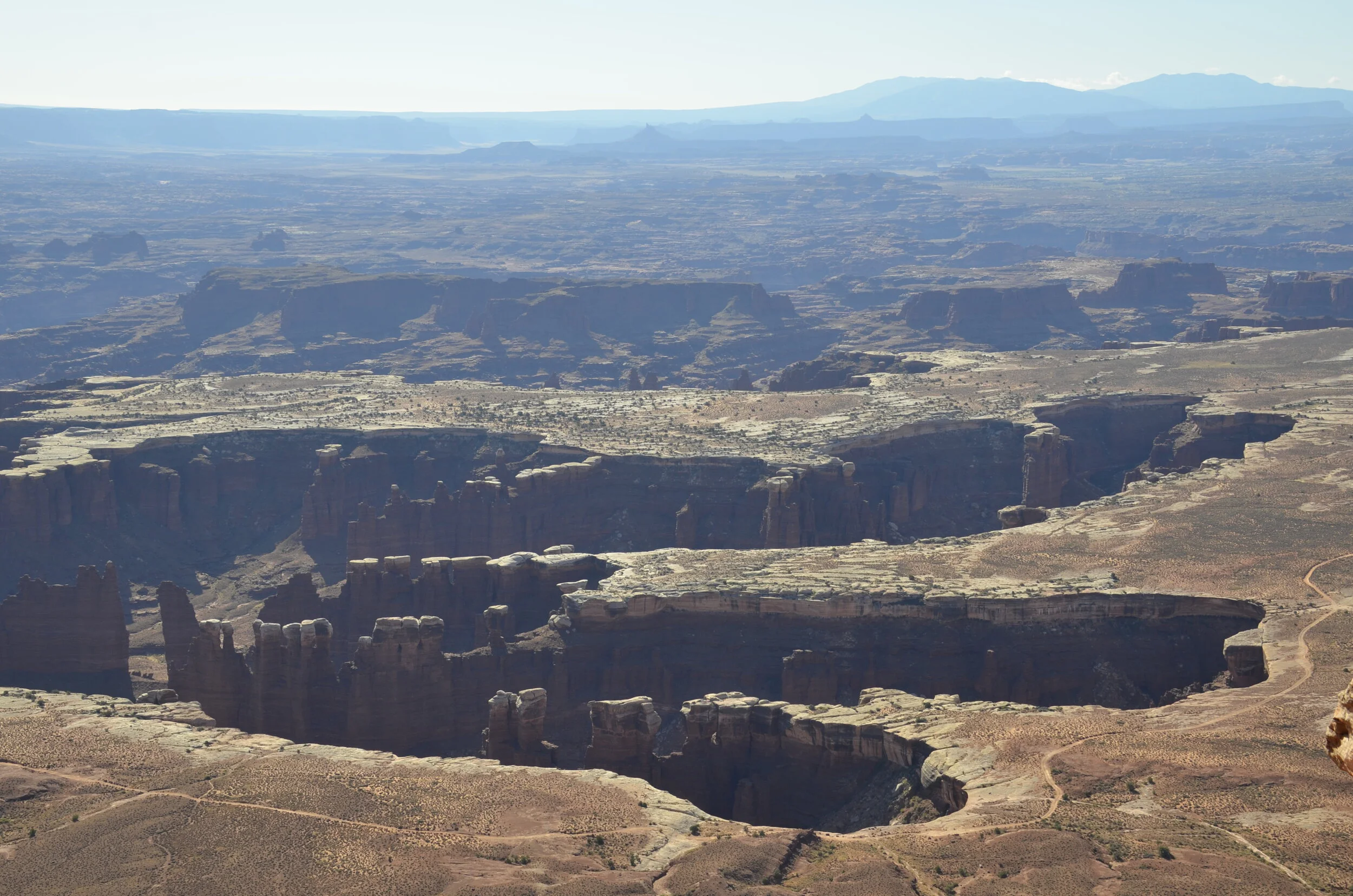
We went on to hike along the rim…

_DSC7260.JPG

…and got great shots down into the valley.

_DSC7274.JPG
_DSC7308.JPG

We could finally see the Colorado River that helped carve this area.

_DSC7325.JPG

We then headed back to Mesa Arch to see what it was like in mid-day lighting.

_DSC7331.JPG

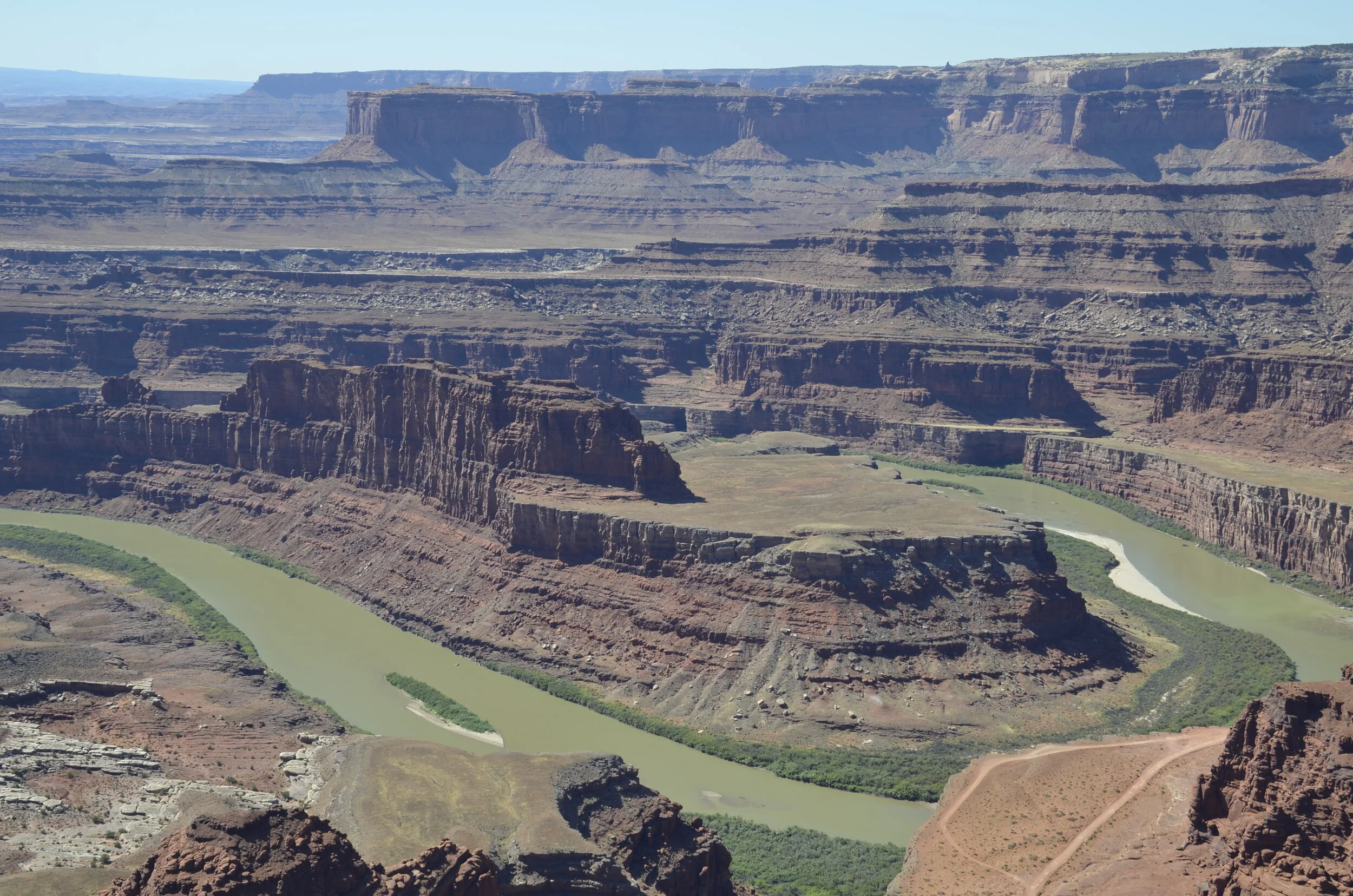
Driving down the road to Dead Horse Point State Park, we found the Colorado again -

_DSC7349.JPG

This was supposed to rival Horseshoe Bend at the Grand Canyon, that Instagrammers have mobbed, but we weren’t that impressed. I’ve got another place that I think you’ll like better (as we did).

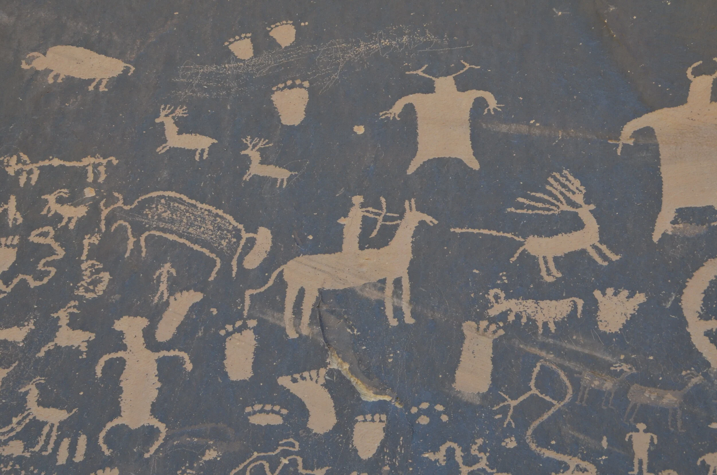
Now, driving further down the road, we stopped by Newspaper Rock, which is a state historical site. Apparently the oldest petroglyphs are around 2,000 years old. They are carved into the dark “desert varnish” (manganese-iron deposits that form on exposed sandstone) exposing the lighter rock underneath.

_DSC7488.JPG

Moving on yet again, we were treated to some awesome vistas -

_DSC7491.JPG

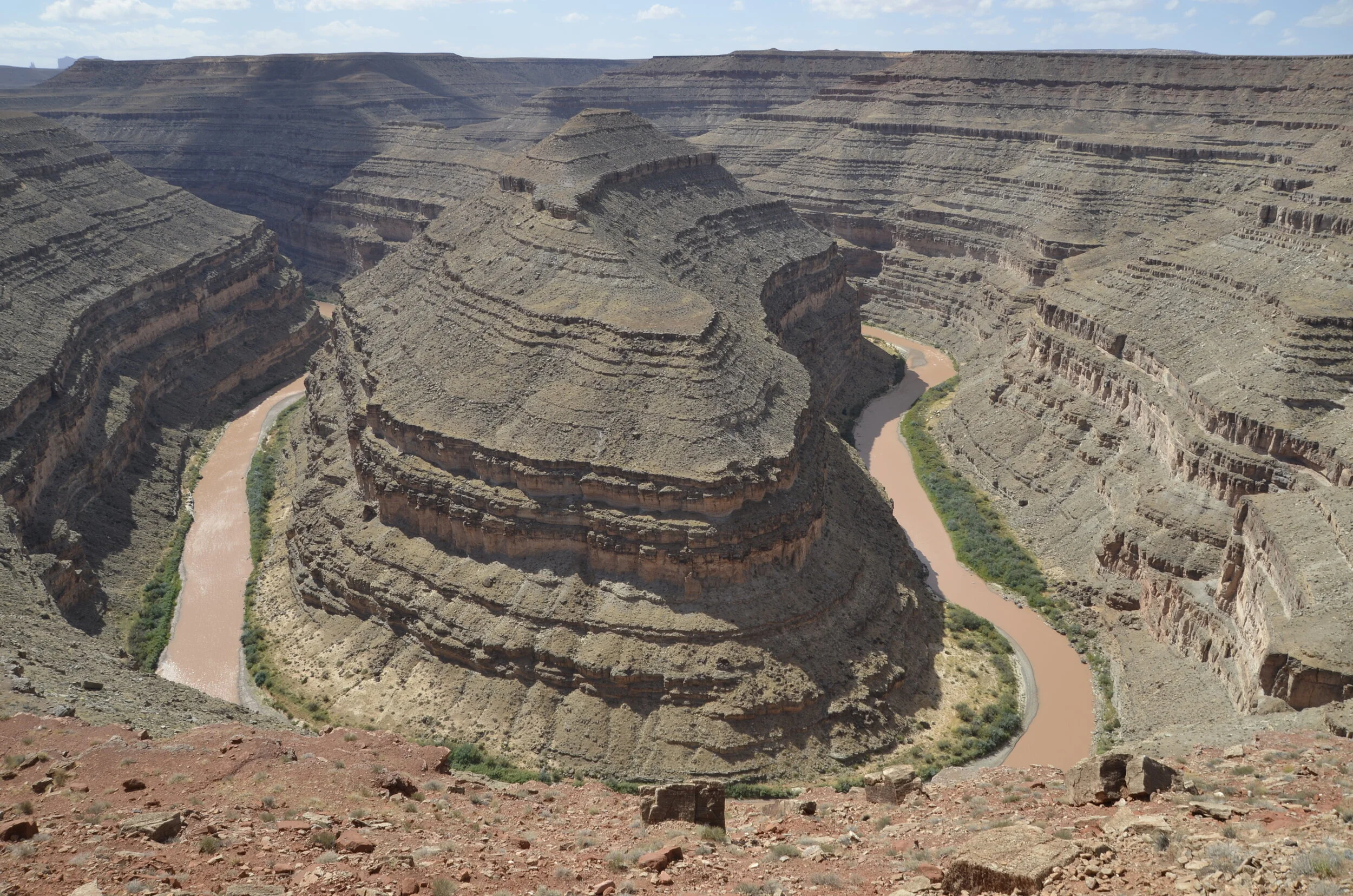
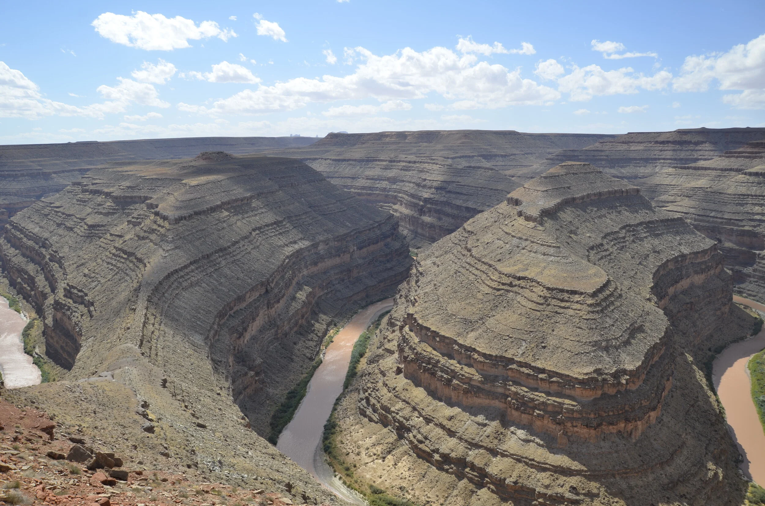
…before coming to Goosenecks State Park. This is the San Juan River in extreme SE Utah.

_DSC7509.JPG
_DSC7508.JPG

It was horrendously windy that day, as you’ll hear in Steve’s video:

Now, don’t you agree that that’s better than the ol’ single Horseshoe Bend?

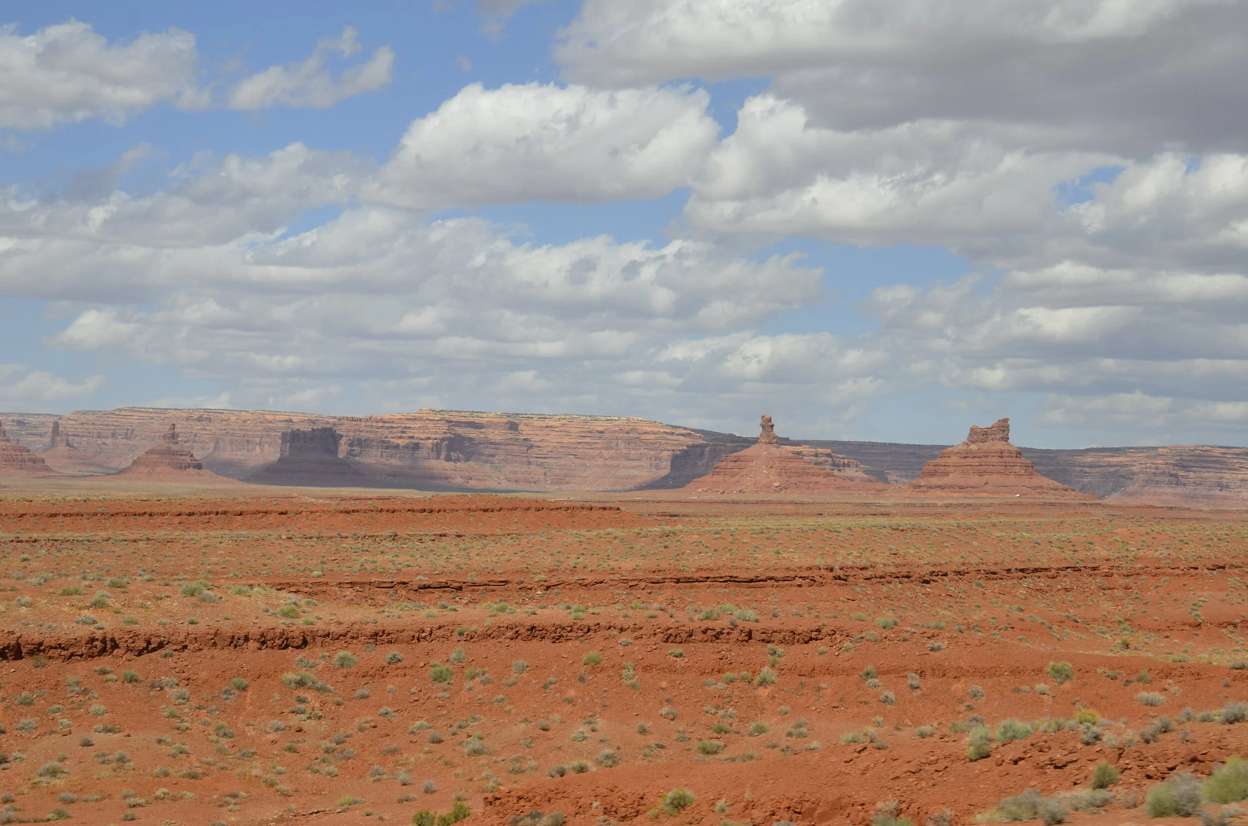
We’re still not done with this day! We moved on to Valley of the Gods, (which is apparently a condensed version of Monument Valley in northern AZ, that we’re skipping on this 5500+ mile tour).

_DSC7533.JPG

Cars included for scale:

_DSC7531.JPG
_DSC7540.JPG

I just couldn’t get enough of the contrasting colors and “big sky” feel.

_DSC7536.JPG

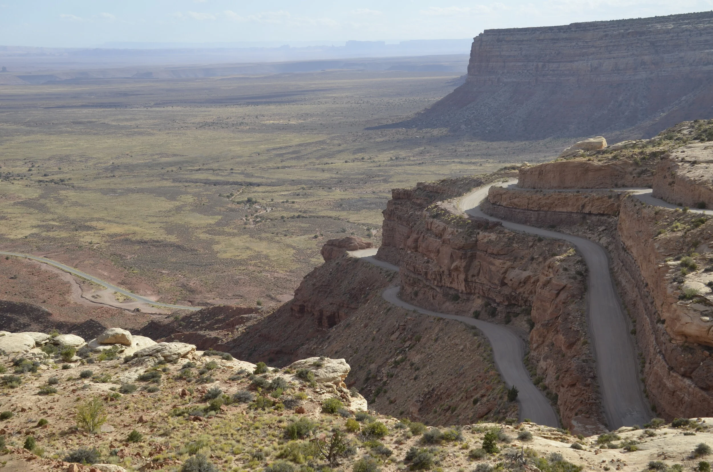
We drove up and out on the Moki Dugway, which is a 3 mile dirt and gravel road with 10% grade on average throughout.

_DSC7572.JPG

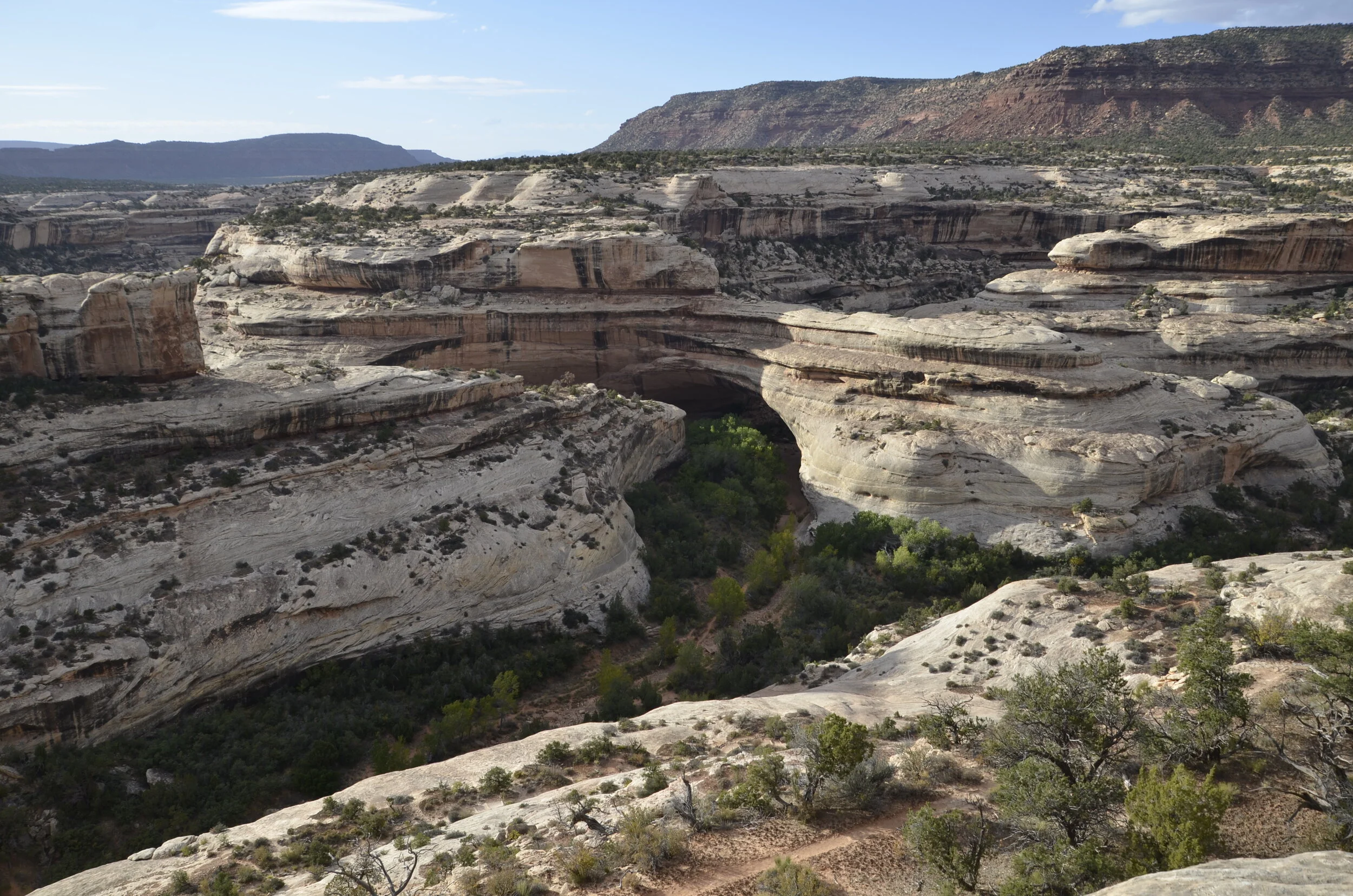
As the light was fading, we flew through Natural Bridges National Monument to check out the three bridges there and snap a few pictures.

Sipapu Bridge

Sipapu Bridge

_DSC7582.JPG

Kachina Bridge is the shadowed area in the center of the picture.

Bridges (in contrast to arches), as you may have already surmised, are carved by water.

Owachomo Bridge

Owachomo Bridge

Whew! Enough for one day and a single blog!

Arches National Park

This was the first of 11 (!) National Parks that we visited in our nearly 3 weeks of traveling before the Grand Canyon. I REALLY liked this one, because of all the time we were able to take through it, as well as all the variety of arches and land forms contained within it.

Morning light (just before the 7 mile hike I previously wrote about):

_DSC7021.JPG

Cool erosion along that trail:

_DSC7078.JPG

A tiny spot of beauty along the trail -

_DSC7133.JPG

That evening we went back into the park (after chilling at the apartment we rented, through the heat of the day) to catch evening light on the rocks.

_DSC7143.JPG

That was how it started, and then it progressed…

_DSC7167.JPG

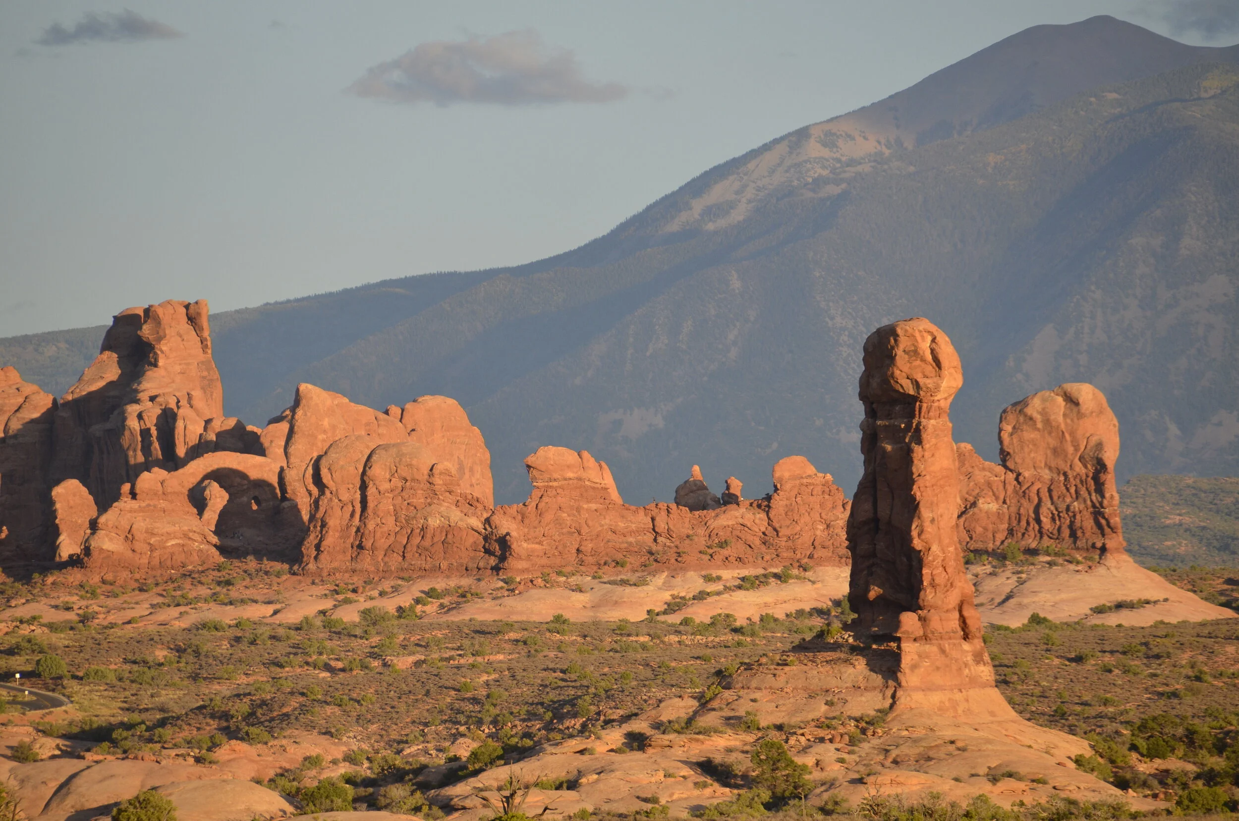
I took this next picture just because the light was pretty and the hills in back were nice. I then found out later when I looked at it on the computer, that I got the backside of Turret Arch (at the left side of the picture):

_DSC7172 Turret Arch.JPG

This was the “front” side of Turret Arch, the next evening…

_DSC7403.JPG

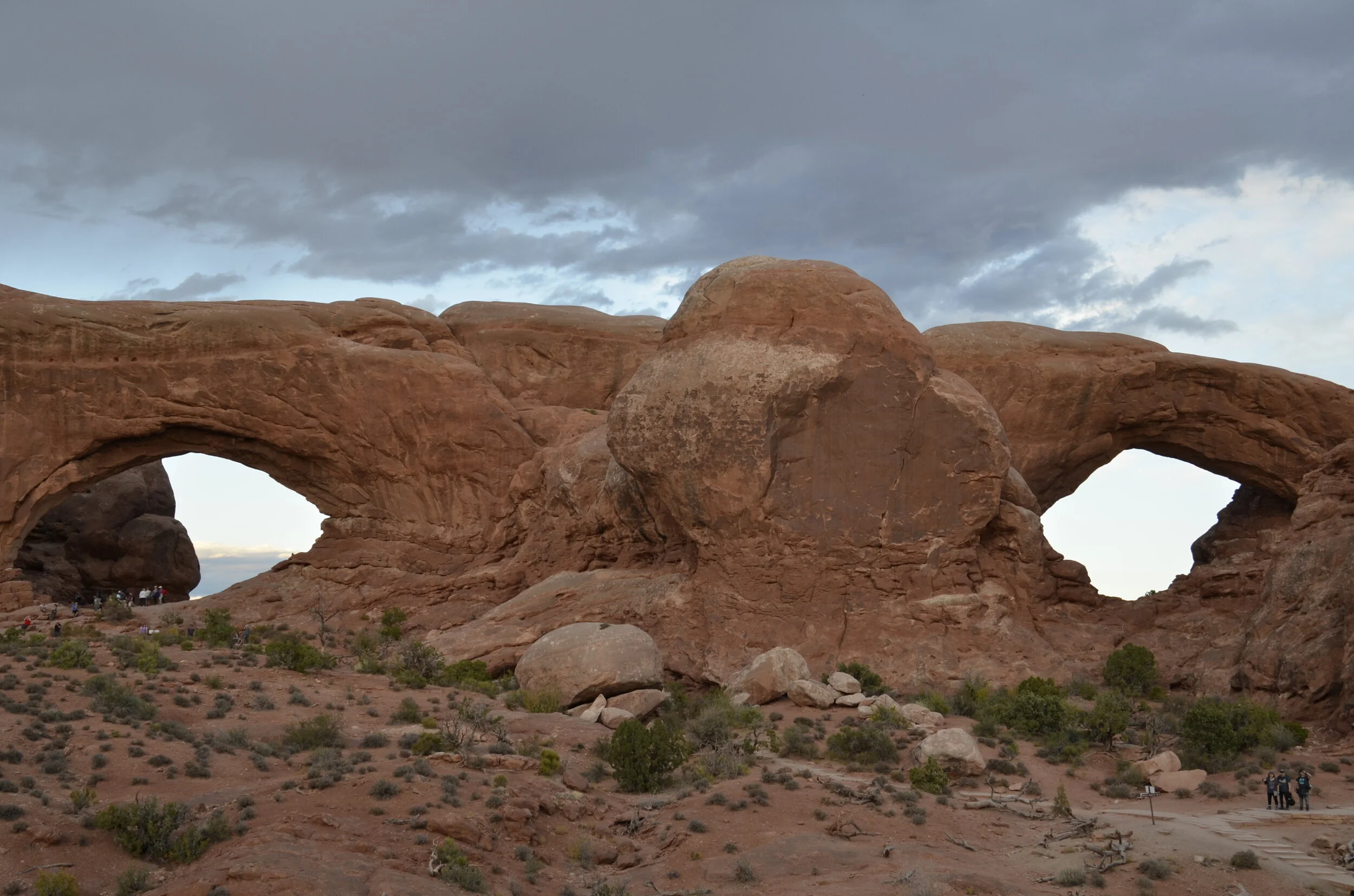
…when the clouds obscured the sunset light (after we got there an hour before sunset, to capture the “magical” light). :( This was the best picture I got of Windows -

_DSC7404.JPG

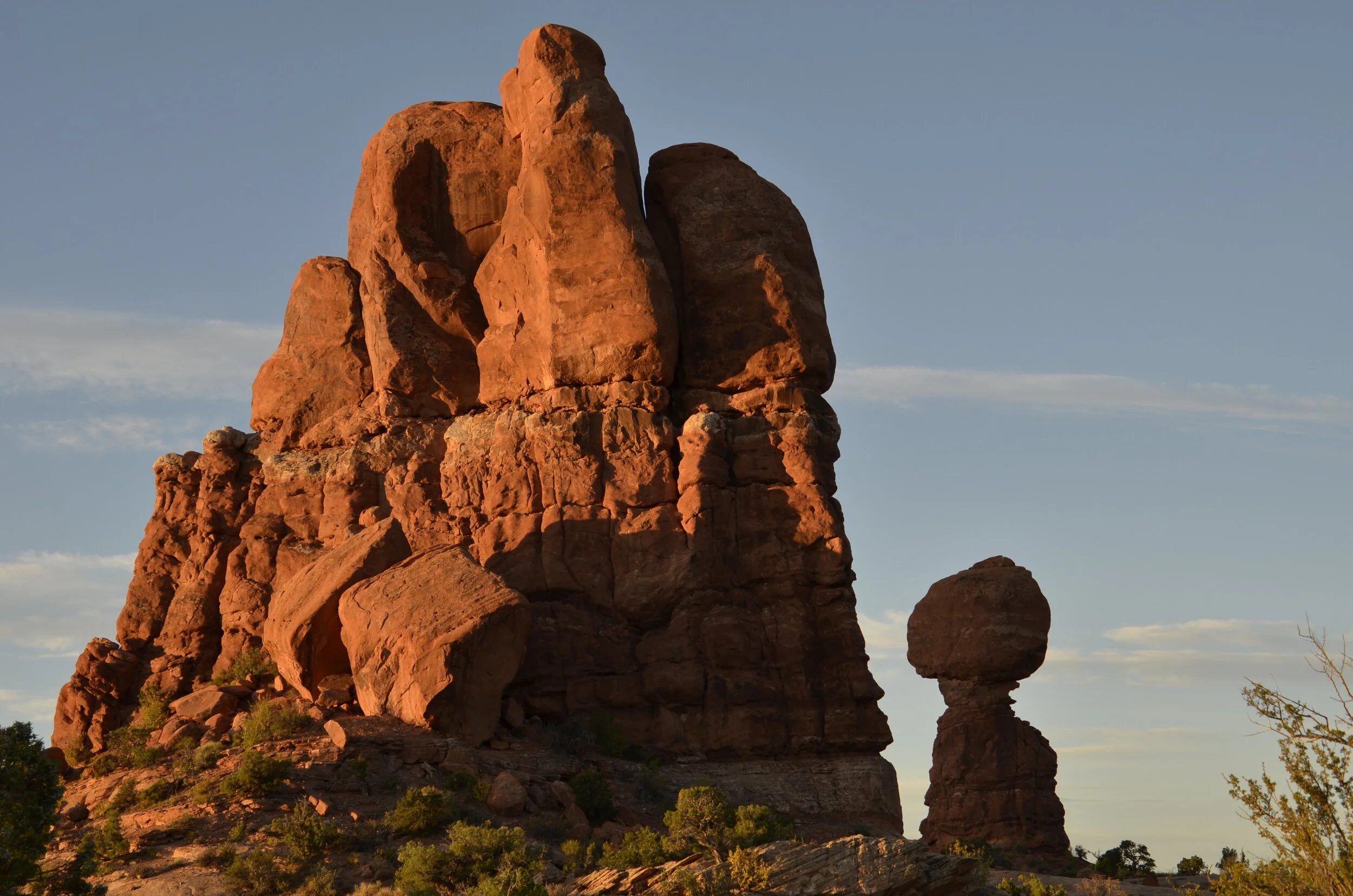
It was the previous evening that gave me tons of neat lighting photos, like this one of Balanced Rock:

_DSC7175.JPG

Just as the sun was disappearing -

_DSC7185.JPG

…there was a small shower over the nearby hills:

_DSC7181.JPG

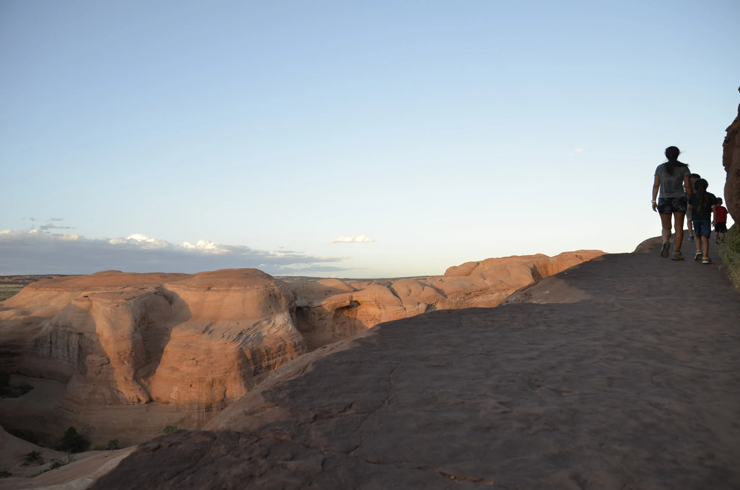
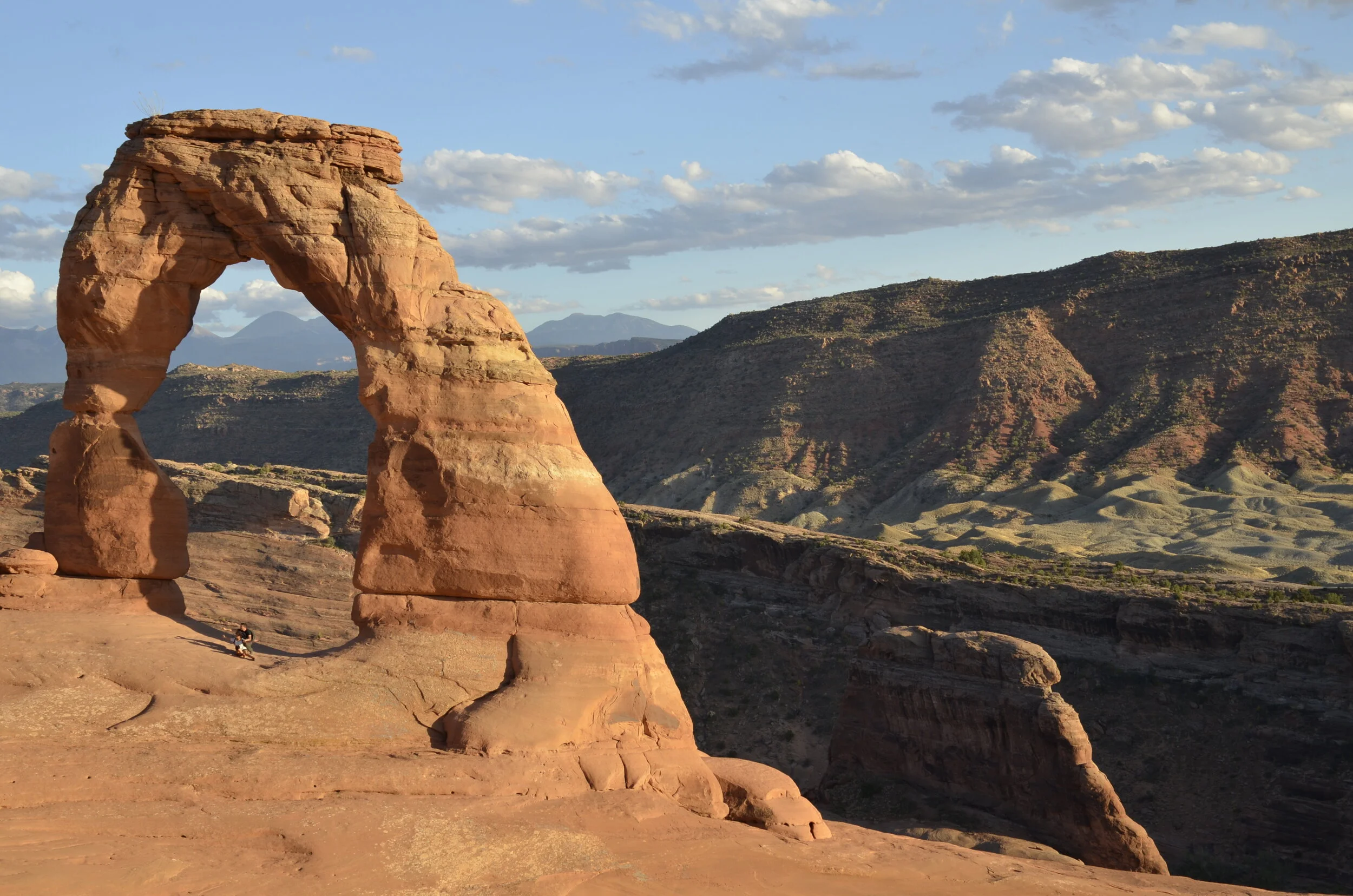
We saved the most famous arch in the park for our last evening - Delicate Arch. It required a 1.5 mile fairly strenuous hike to reach. Unfortunately, earlier that day, Steve sprained his ankle pretty severely. He was still determined to see this arch, so sent me ahead to walk at my usual brisk pace, and said he’d catch up to me. As I was nearing the last curve of the trail -

_DSC7478.JPG

…there were literally gale force winds (with gusts that nearly blew me over) coming up the bowl in front of the arch.

_DSC7461.JPG

I very carefully crawled my way over the lip and dropped down out of the wind to take some pictures.

_DSC7459.JPG

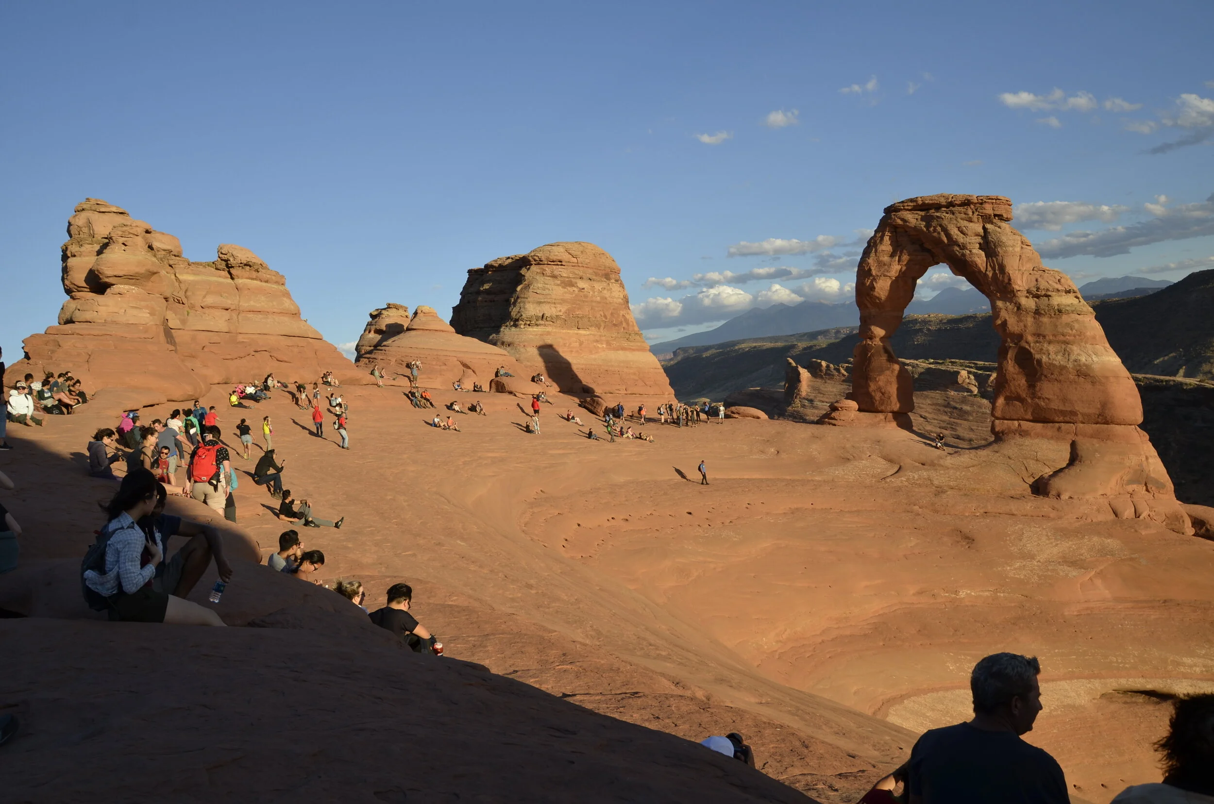
That person (above) was crouched down to minimize the wind blasts coming up out of the canyon. There was a line of people waiting to get their picture taken under the arch:

_DSC7466.JPG

To end this post, I’ll share my favorite Delicate Arch picture (timed just right to avoid a person in it!).

_DSC7463.JPG

We're off again!

This next expedition is through the wilds of the American Southwest. The linchpin was our two week rafting trip through the entire length of the Grand Canyon (reserved 2 years ago!). So, since we were driving so far, we padded that with over 2 weeks of exploring Utah, California and Arizona before, and planning nearly 2 more weeks after coming off the river (before we head back to Nashville in time for a concert that we have tickets for!).

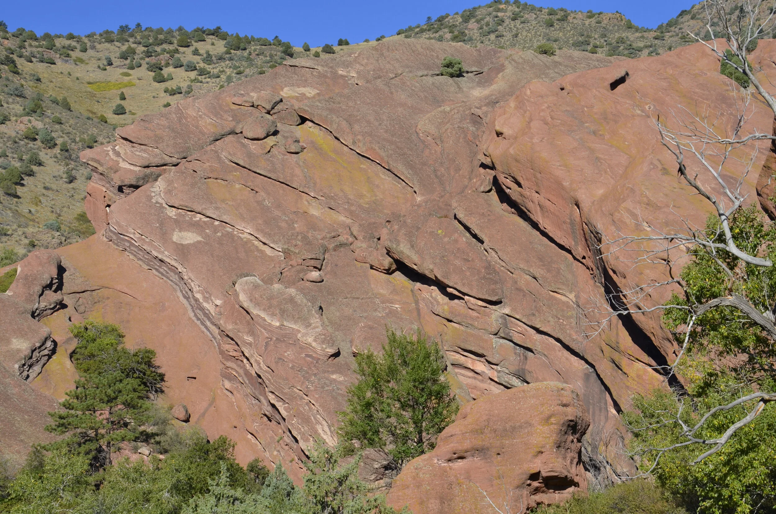
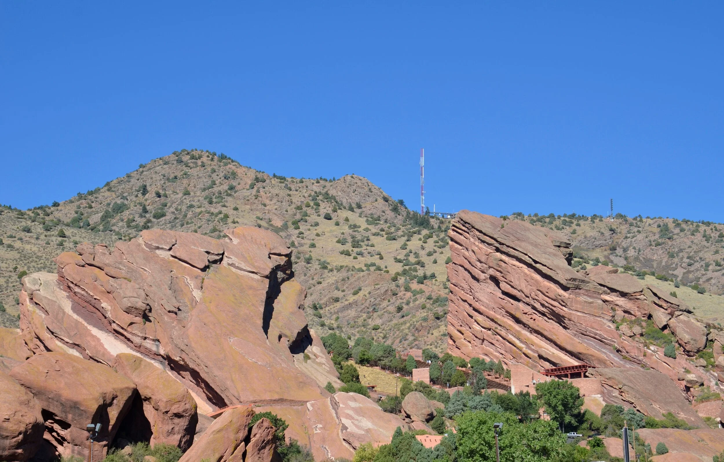
As we drove through Colorado, we happened to spend the night near Red Rocks, and so hiked around it before heading off to Utah.

_DSC6968.JPG

The colors and angles were awesome.

_DSC6970.JPG

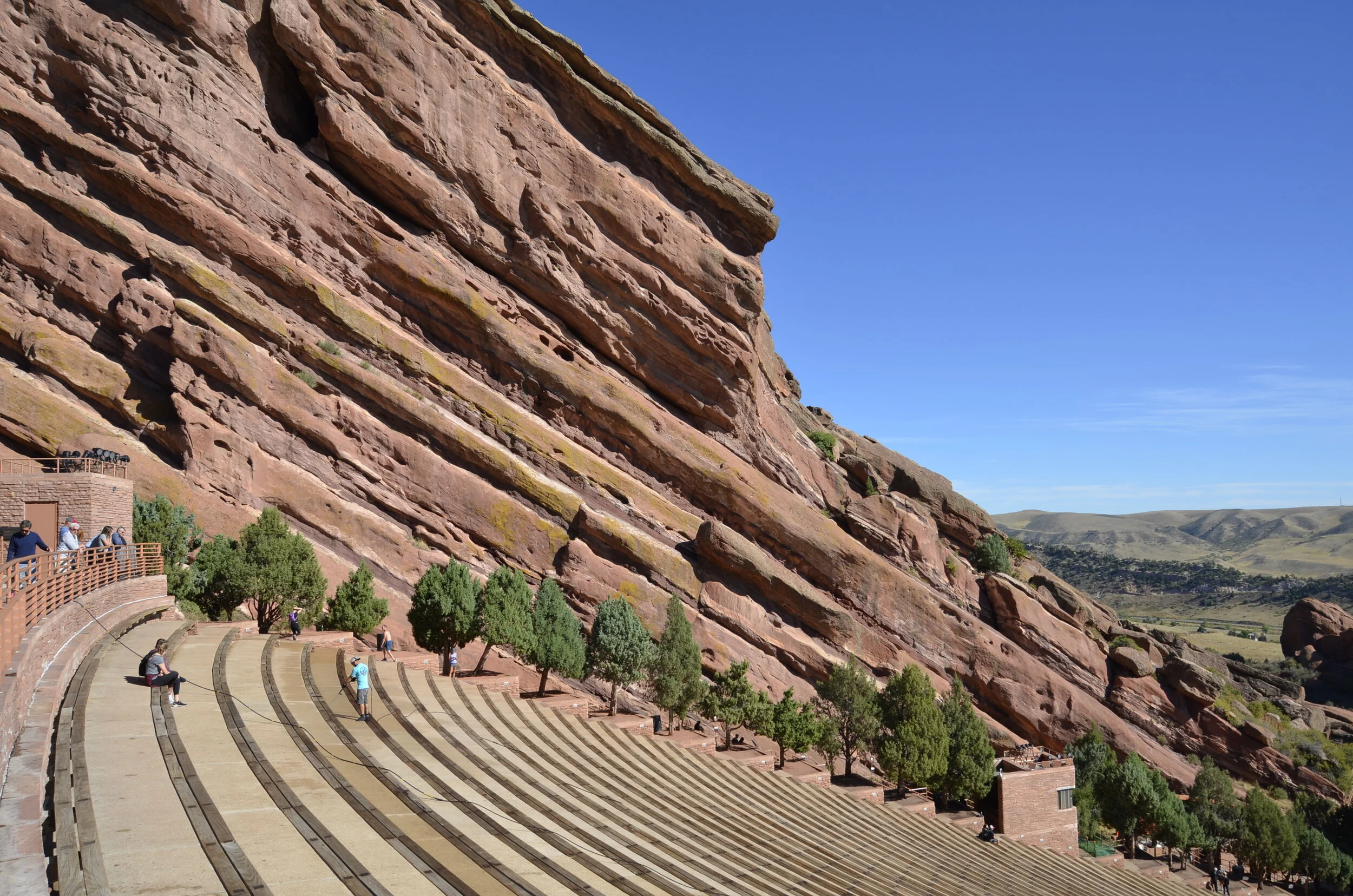
We had never been to the amphitheater -

_DSC6984.JPG

but we really want to go now!

_DSC6986.JPG

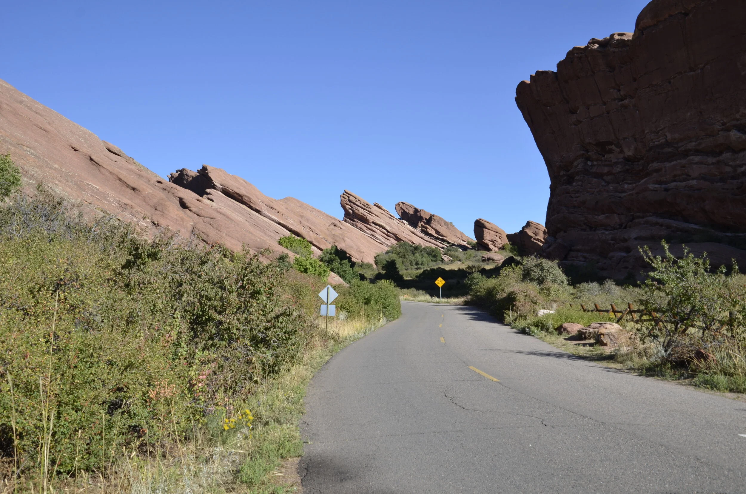
This picture is from the road below Red Rocks Amphitheater, showing the gorgeous natural setting -

_DSC6991.JPG

What a great start to our trip!

Next stop was Moab, UT, where we stayed for 4 glorious days exploring Arches National Park, as well as Canyonlands National Park. Because we were staying essentially just outside of Arches, we could hop in and out of it, especially to capture the “golden” light of morning and evening.

(you’ll see Balanced Rock again, later)

(you’ll see Balanced Rock again, later)

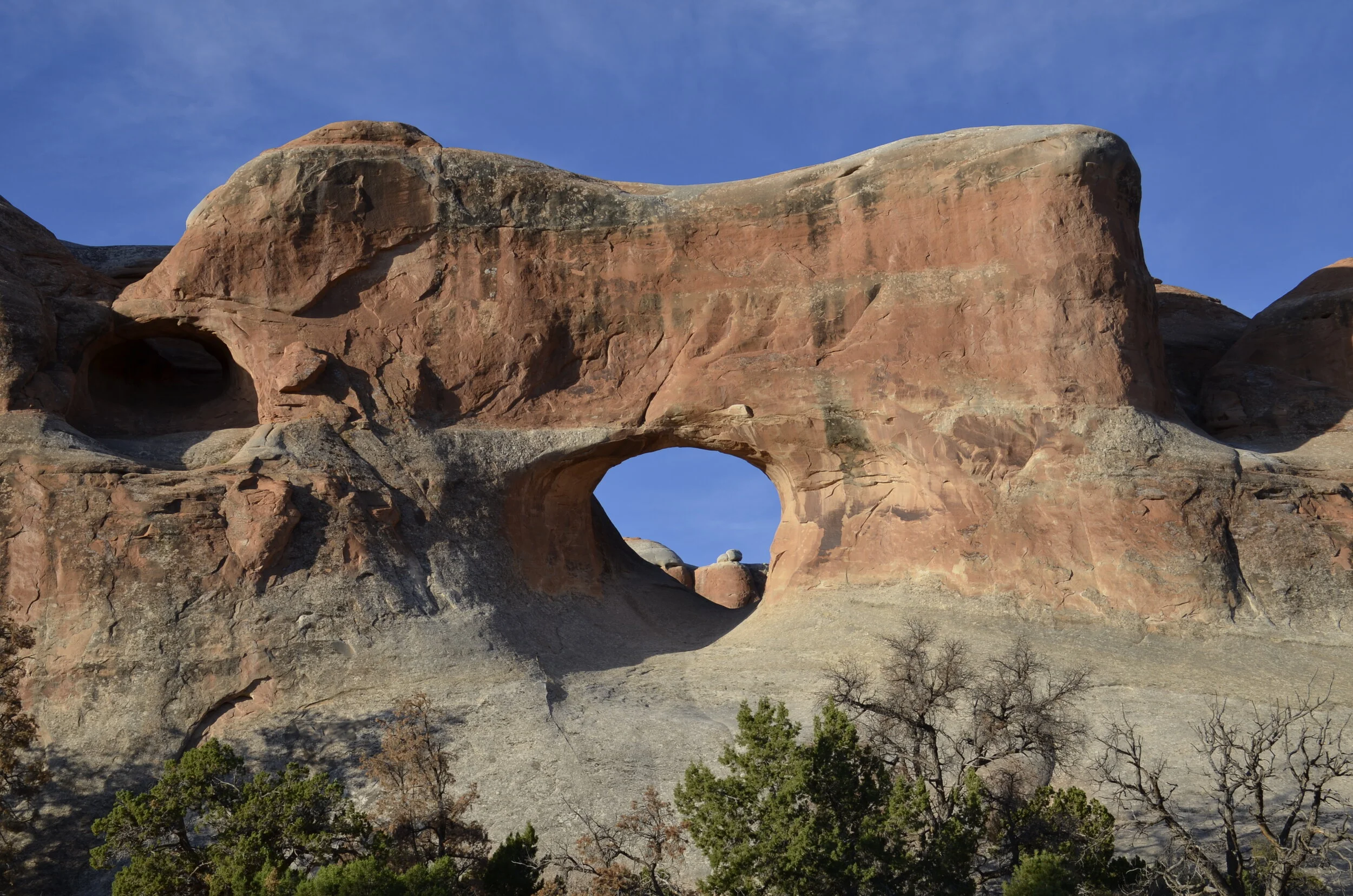
That first day, we hiked over 7 miles to see 7 different arches, that you can’t see from the road. Tunnel Arch was the first:

_DSC7033.JPG

Pine Tree Arch was named for the pine tree that used to be in the middle of it:

_DSC7043.JPG

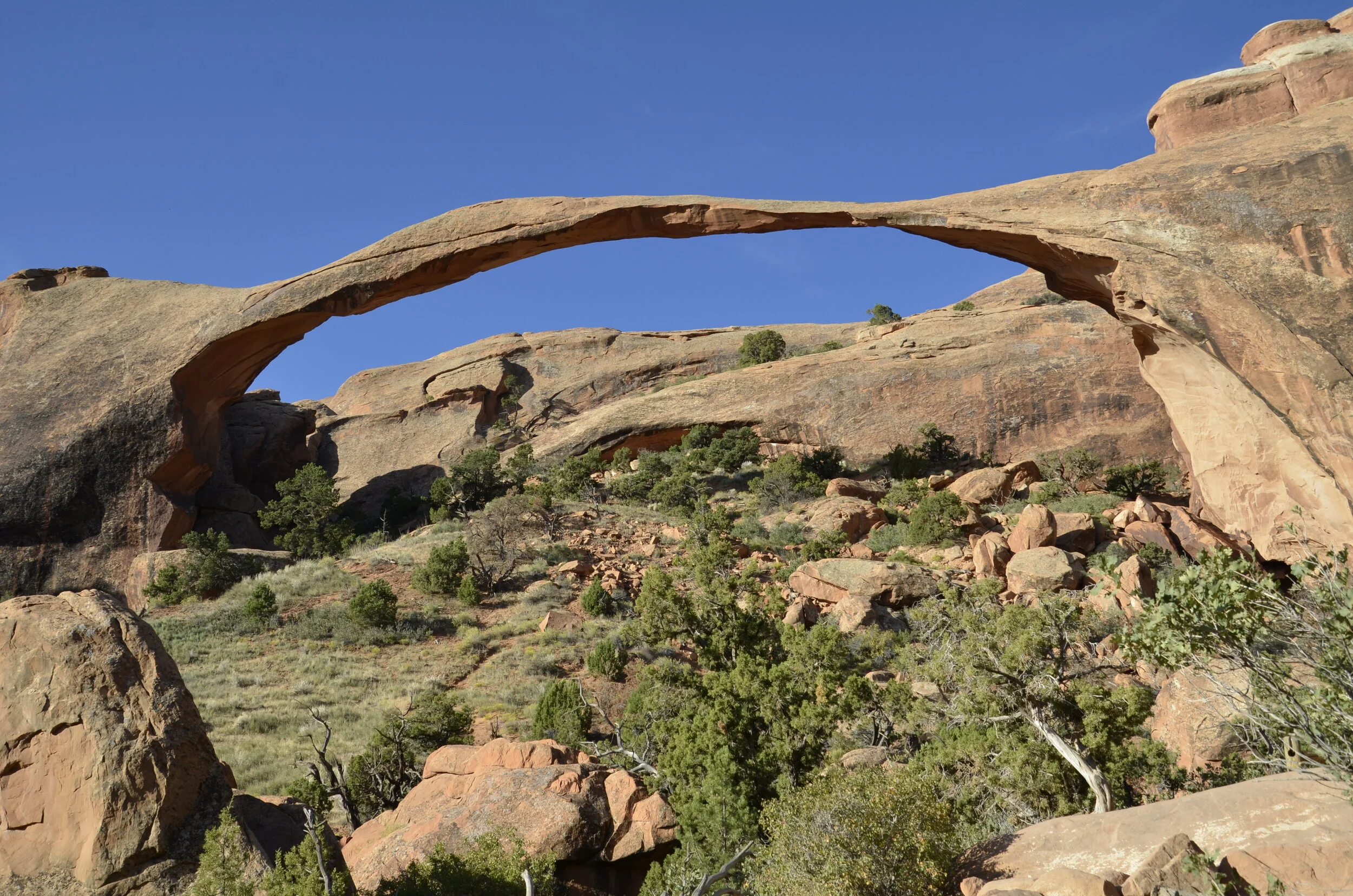
Landscape Arch is the largest in the western hemisphere with a 290 ft span.

_DSC7067.JPG

This is one of only a few arches that people can’t walk under or around, because a huge slab of rock fell from that narrow point about 25 years ago, and the trail under it was closed.

a zoom lens comes in handy sometimes!

a zoom lens comes in handy sometimes!

As we traveled through this park (and others), I kept being torn between frustration at all the people around things I wanted to get pictures of, and satisfaction to have them there for scale.

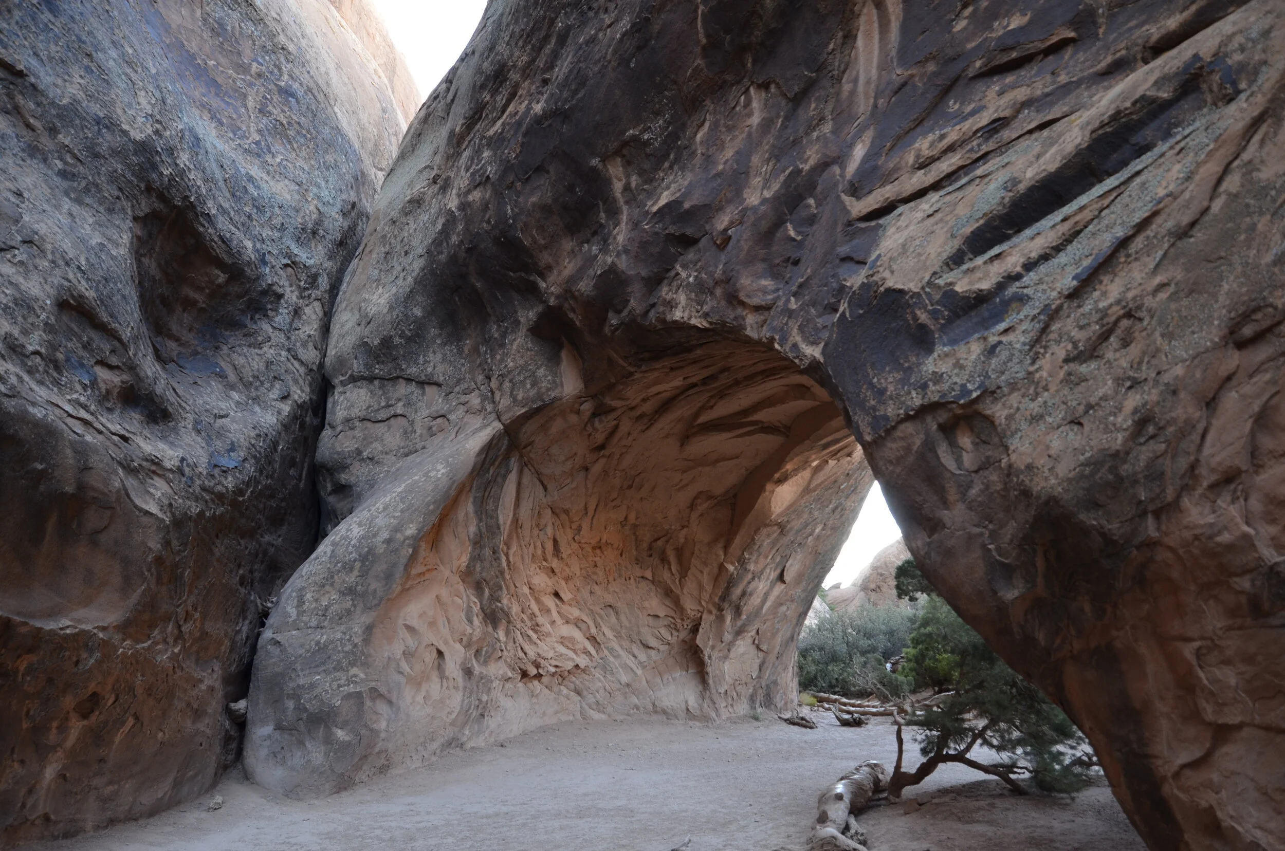
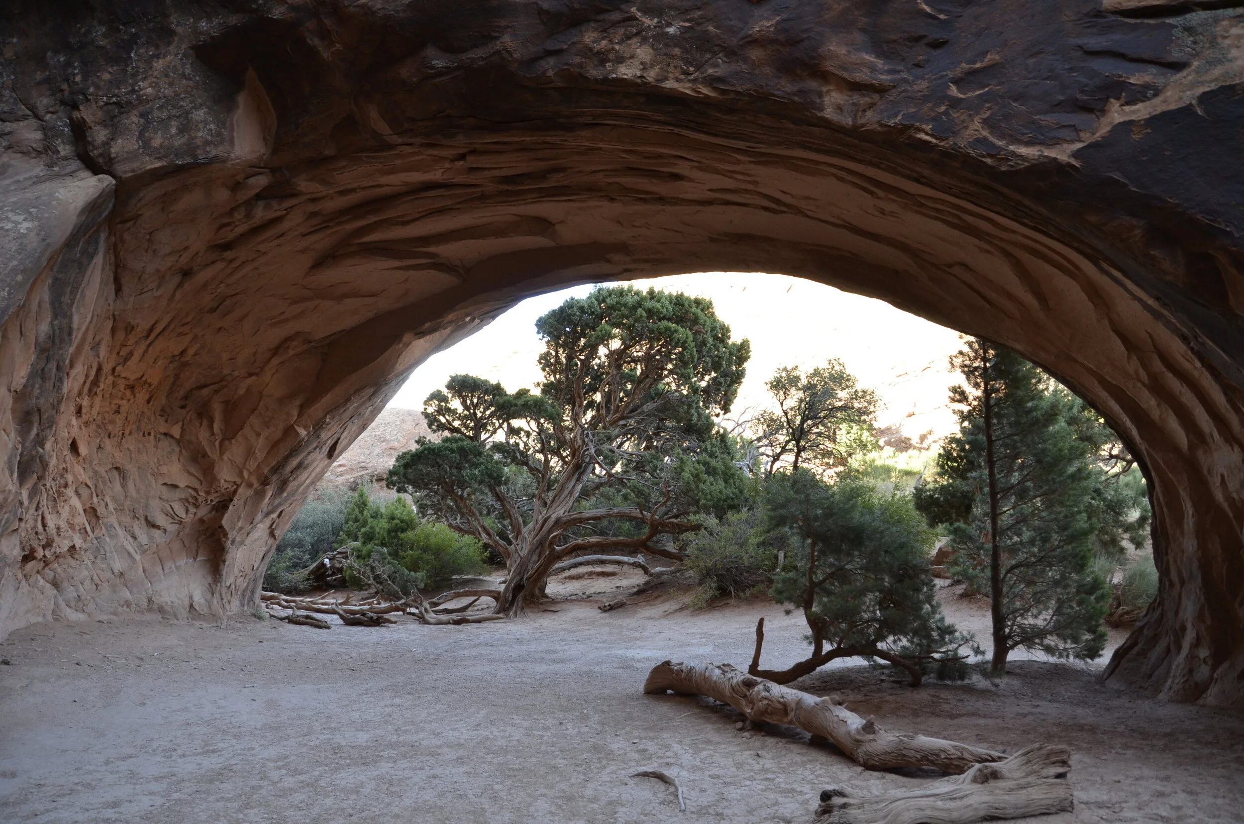
My favorite arch on this hike was Navajo Arch because it was so different with having a cul-de-sac behind it.

_DSC7083.JPG

The greenery around it and its dark coloration made it quite photogenic.

_DSC7085.JPG
_DSC7086.JPG

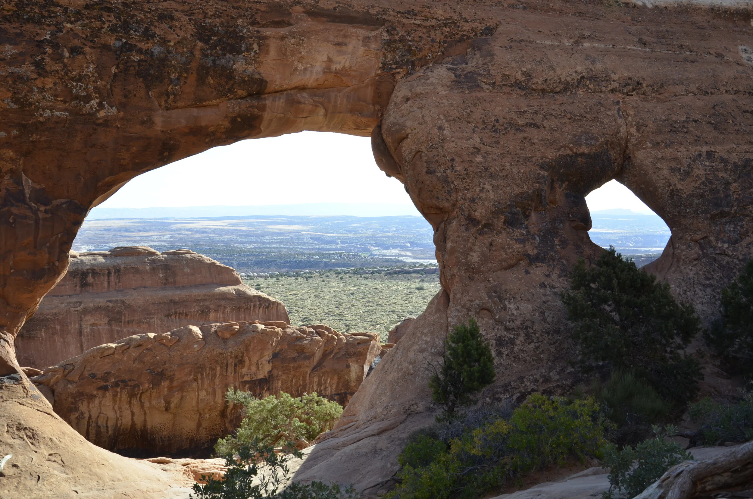
Partition Arch is easy to see how it got its name:

_DSC7093.JPG

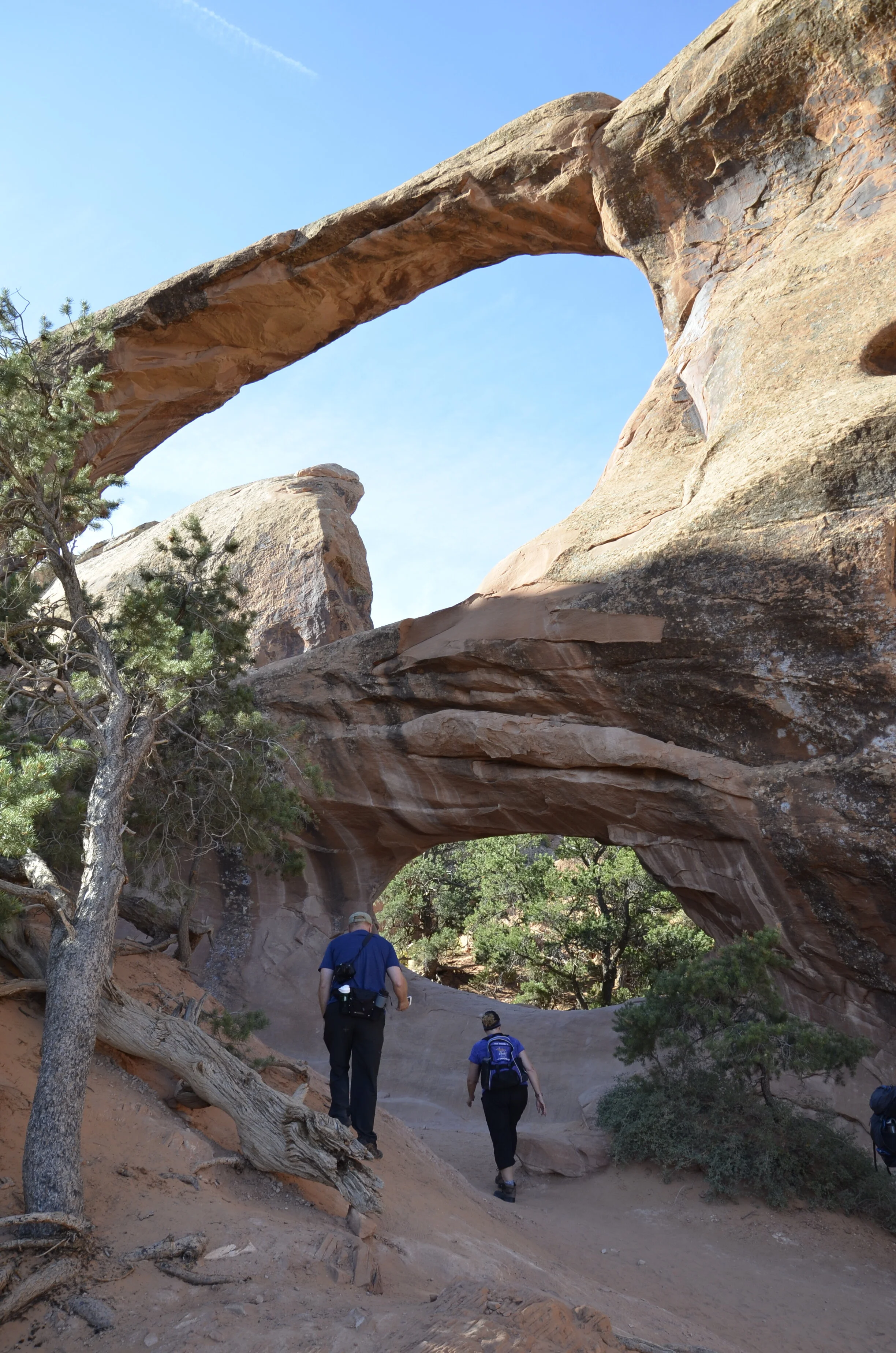
…as does Double O Arch -

_DSC7110.JPG

The striations of color kept grabbing my attention (and lens):

_DSC7120.JPG

And that was just our first morning!

Here’s the big picture that I’ll pursue further in future posts.

_DSC7135.JPG

Virginia and North Carolina

After we left the cherry blossoms in DC, we headed north on the George Washington Memorial Parkway to the Great Falls of the Potomac.

_DSC1597 Great Falls of Potomac.JPG

There were several observation points that gave us different views -

_DSC1606.JPG

I almost liked the granite in the river more than the actual falls.

_DSC1605.JPG

We decided to head home via the Blue Ridge Parkway. Shenandoah National Park has Skyline Drive, which blends into the Parkway’s northern end. As you could see from the previous pictures, it was barely spring in this area. We thought that as we drove south, we’d encounter more and more spring.

_DSC1608.JPG

Unfortunately, the day was very cloudy, and this was the first hint of sun that we saw. You can also see the Shenandoah Valley spread out way below us. We quickly discovered the importance of altitude on temperature and season arrival. We saw only bare trees, and then got enveloped in clouds that closed us in, until we were going only 30 mph and barely able to see 10 feet in front of us.

_DSC1610.JPG

So we gave up on that episode of exploration.

About 3 weeks later, we headed east again, this time to explore both western and eastern NC. First, we came upon some neat waterfalls and rivers in the Cherokee National Forest -

_DSC1619.JPG

The sudden outcroppings of rock were a neat punctuation to the newly green trees and rushing water -

_DSC1624.JPG

I discovered how much I enjoyed the warmer air, greener trees and flowers of lower elevations.

_DSC1631.JPG

Linville Falls from above:

_DSC1625.JPG

…and after a rugged hike to the base -

_DSC1629.JPG

OK. now on to the Outer Banks. I had been interested in seeing them, after hearing the term for years, wondering just what all the hype was about. It mostly was a narrow strip of sand dunes, with a fair amount of different migrating bird species.

_DSC1665.JPG
_DSC1675 Cape Hatteras.JPG

At the southern end, after driving about 100 miles, we came to Cape Hatteras lighthouse. Of course we had to climb all 257 steps. After the bell towers in Italy, this felt like a breeze. Looking back north -

_DSC1685.JPG

…and coming back down:

_DSC1690.JPG

On the way back, we enjoyed watching kite surfers in a shallow bay:

_DSC1669.JPG

and walking along the beach.

_DSC1710.JPG

Bodie Island lighthouse was actually several miles inland, and had a different paint job.

_DSC1718.JPG

Much to my delight, we got up early one morning and drove the “auto nature trail” through Alligator River National Wildlife Refuge, just east of Roanoke Island.

_DSC1731.JPG

Irises were blooming in the still, dark reflecting waters right next to the road. We were thrilled to meet several of the area’s inhabitants.

Red-bellied turtle

Red-bellied turtle

Great Egret

Great Egret

_DSC1765.JPG

I didn’t think that one needed a caption! We never could see its head.

Stand off -

_DSC1774.JPG

We’re off to central Africa in a few weeks. See you then!

Eastern box turtle

Eastern box turtle

A quick word from the cherry blossoms

I’m still working on finishing up even the first week from the Galapagos, but since we’re briefly in Washington D.C. to enjoy the cherry blossoms, I wanted to share.

_DSC1502.JPG

We arrived in mid-afternoon to gorgeous weather, but unbelievable crowds.

_DSC1497.JPG

I loved the really gnarly old trees,

_DSC1496.JPG

as well as the contrast of the branches to the flowers.

_DSC1492.JPG

Compared to all the Instagrammers and selfie hounds, Steve and I don’t quite have that down yet…

_DSC1510.JPG

Close ups just make me smile -

_DSC1511.JPG

in either white or pink.

_DSC1530.JPG

We went on around the Tidal Basin to the Jefferson Memorial,

_DSC1509.JPG

…and while walking up the steps, overheard a young boy saying, “yeah, you CAN see “X” from here.”

_DSC1543.JPG

This was the picture I was taking, so I switched lenses:

_DSC1538.JPG

Cool!

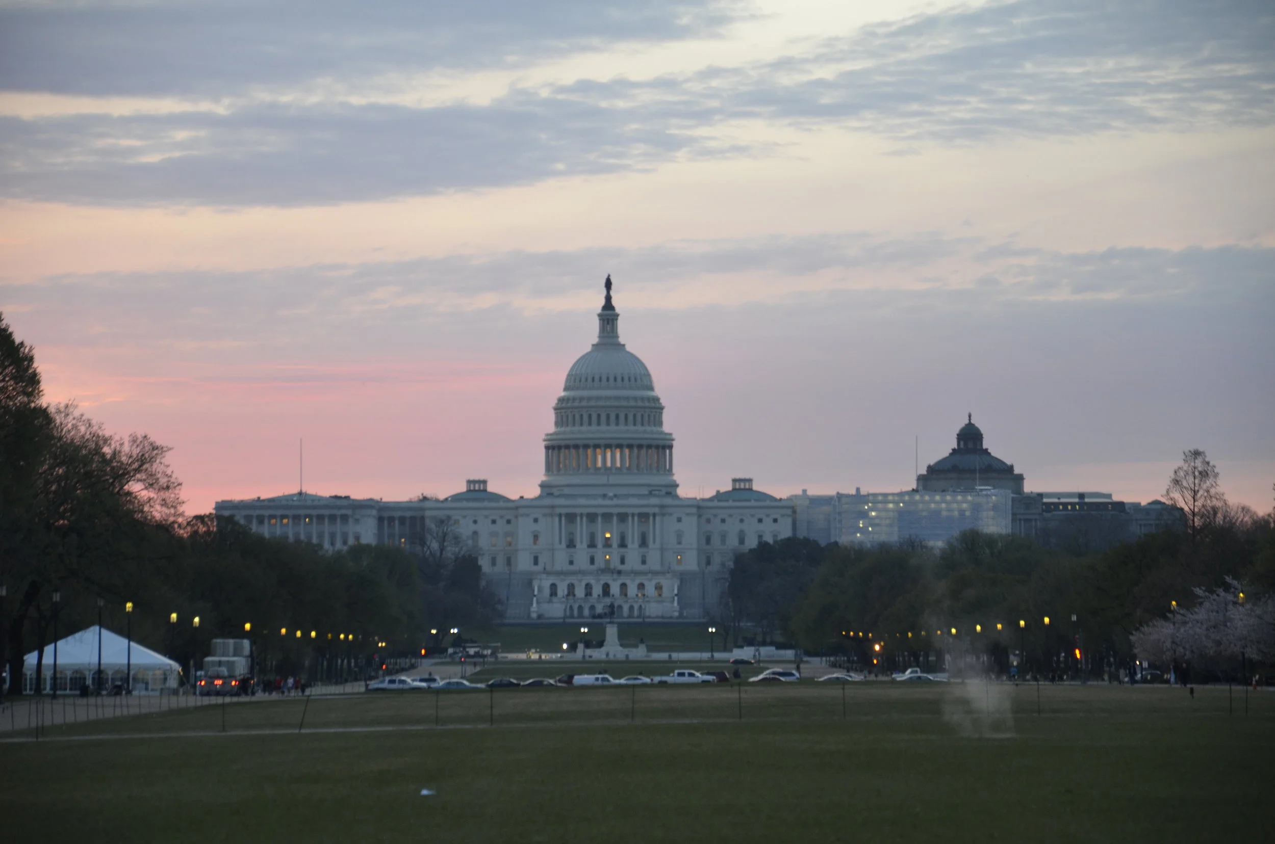
As we walked back across the Mall, I wanted a picture of the Capitol

_DSC1546.JPG

that was then in quite a different light when we went out the next morning for sunrise pictures.

_DSC1547.JPG

Even with Steve grumbling about the early hour, we both greatly appreciated the lack of crowds.

_DSC1553.JPG

Both the lack of wind,

_DSC1548.JPG

and the lighting, made for some gorgeous shots.

_DSC1556.JPG

I was waiting around to see how things might look in a different light.

_DSC1561.JPG

About 5 minutes later, the sun came up and changed everything.

_DSC1562.JPG

Only a few more -

_DSC1583.JPG

It was a good morning!

_DSC1592.JPG