Michigan
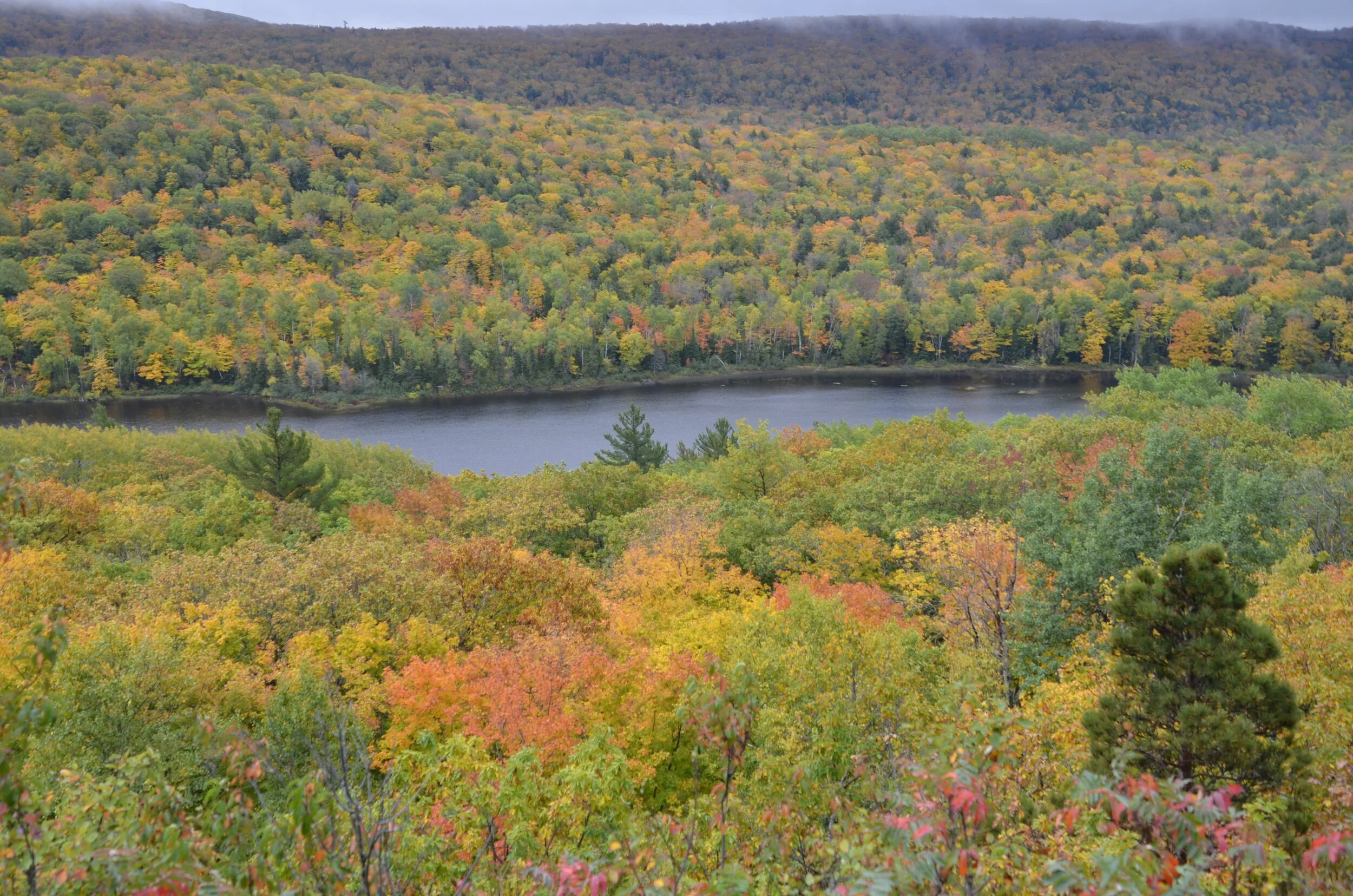
As we were leaving WI, a chatty fellow in the parking lot of the motel told us about a beautiful area in the western UP (Upper Peninsula) with gorgeous overlooks and vistas that included Lake of the Clouds, in the Porcupine Mountain Wilderness State Park.
We truly were in the clouds that day, as they rolled in, and proceeded to rain on us from the middle of our hike to the end and beyond.
hopefully, you can appreciate the variety of colors, despite the gloomy lighting
But what’s a little rain to intrepid travelers, eh?
We continued driving along the shore of Lake Superior…
…to reach the Keweenaw Peninsula. When I was perusing the atlas before our trip, I was taken by the little spine sticking up into Lake Superior, as the northernmost point in Michigan. Of course we had to drive to the end of the road!
And we’re so glad we did. We took in some of the most beautiful hillsides of our entire trip.
I really hope that whatever device you’re looking at these pictures with, brightens up the colors. It’s depressing to me that what I see on my computer from my pictures file (gorgeous!) gets really dulled down once I post it to the blog. Ah well…on with the story.
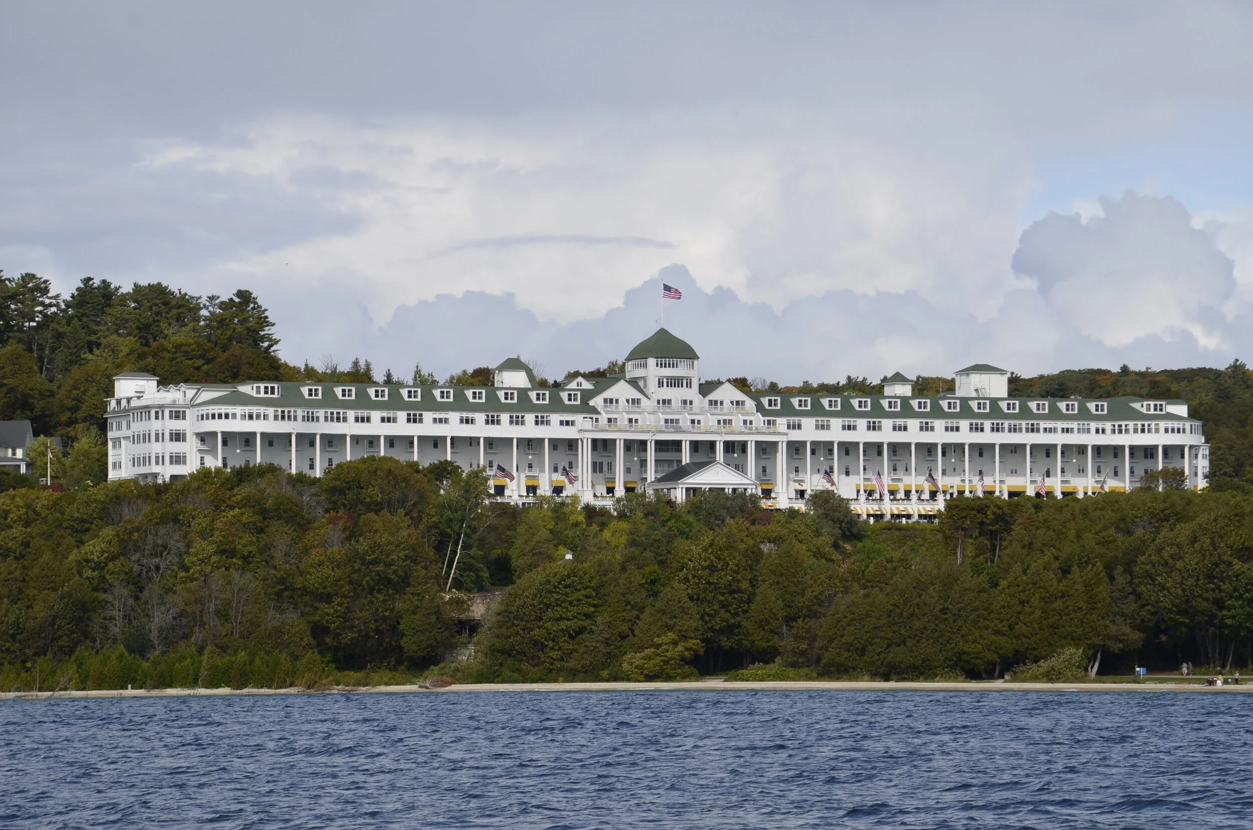
We wanted to go to Pictured Rocks National Lakeshore, but the weather for the next several days was predicted to continue cloudy and mostly rainy. So we headed to Mackinac Island for a couple of days of R&R. On the ferry ride over, we were treated to a magnificent view of the Grand Hotel (“the world’s largest summer hotel”) where we did NOT stay due to the $500+ room charge…
We enjoyed the B&B where we stayed, on Main Street…
…and because we had sunny clear skies, we rented bicycles to ride around the circumference of the island (8 miles).
Lake Huron
Two miles into the ride, a squall approached us:
…and soaked us for the rest of our ride. Heading into the brisk wind off the lake wasn’t very fun, either. The weather really didn’t cooperate very well with us on this trip.
Well, the next day brightened up some, so we walked up on paths and roads through the middle of the island. Mackinac (pronounce Mack-i-naw) does not allow motor vehicles on the island (other than some emergency ones), so transportation is by foot, bicycle or horse drawn conveyances.
Also, for unknown reasons, fudge shops are prolific along Main Street, and tourists are referred to as “fudgies”. A woman we met out walking said she wants to make a scratch-n-sniff for the island - horse manure, lilacs and fudge.
So, we then headed back up into the UP, again trying to visit Pictured Rocks Lakeshore, but were again thwarted by dark skies and impending rain. Soooo…we then headed east on the UP, and visited Tahquqmenon Falls State Park.
The water has a brown cast due to the tannins from the cedar swamps which the river drains.
Continuing on along Lake Superior…
…we were curious about how locks work, so ended up in Sault Ste. Marie. The Soo Locks, as they’re locally known, have been used since 1855. They bypass the rapids of the St. Marys River between the Great Lakes of Superior and Huron. Obviously locks built in 1855 couldn’t handle the enormous ships of today, but the engineering idea is the same. They work by gravity.
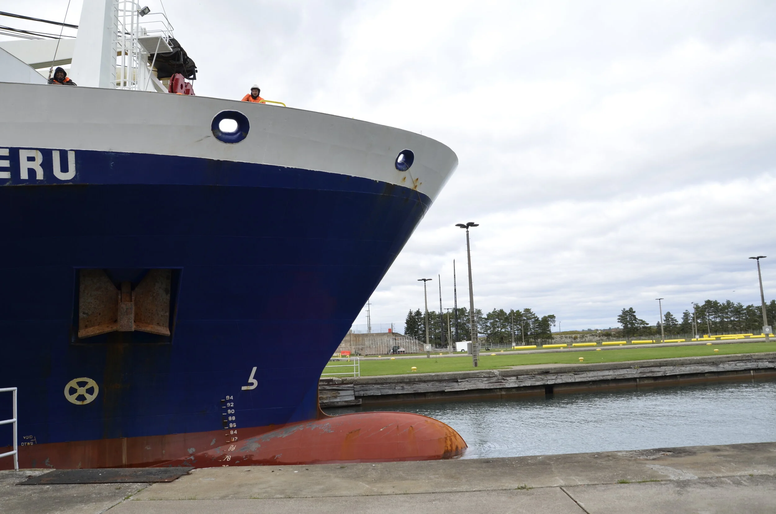
Unfortunately, the observation deck overlooking the locks was closed due to COVID, so I had to settle for pictures taken between bars of the retaining fence erected around the works. This is what we saw as the 400+ ft ship entered the lock:
note the yellow clad worker to sort of give scale
The control bridge of the ship towered at least 7 or 8 stories above its deck, while the deck was several stories above our position. After the ship entered the lock, the massive doors behind it in the water shut.
This is what we could see at the beginning of the process. Then the doors in front of the boat opened slowly…
…and after about 10 minutes, the boat had dropped about 20 feet in front of our eyes. Once the gates were opened fully in front of it, the massive ship moved on.
The largest ships that can be accommodated through the locks are over 1,000 ft long! It was a fascinating way to spend an hour.
The next day, we tried a third and final time to head toward Pictured Rocks, but yet again were thwarted by bad weather. That coastline will just have to wait until our next trip up north to see Isle Royale and Voyageurs National Parks. Before abandoning the Yoopers (people who live in the UP), we had to try the local delicacy of a pasty (pronounced pass-ty).
It’s like a hand-held pot pie, with a marvelously flaky crust enclosing a rich mixture of caramelized onions, chopped carrots, “gravy” and ground beef. It made a very hearty lunch to power our drive down into the Lower Peninsula.
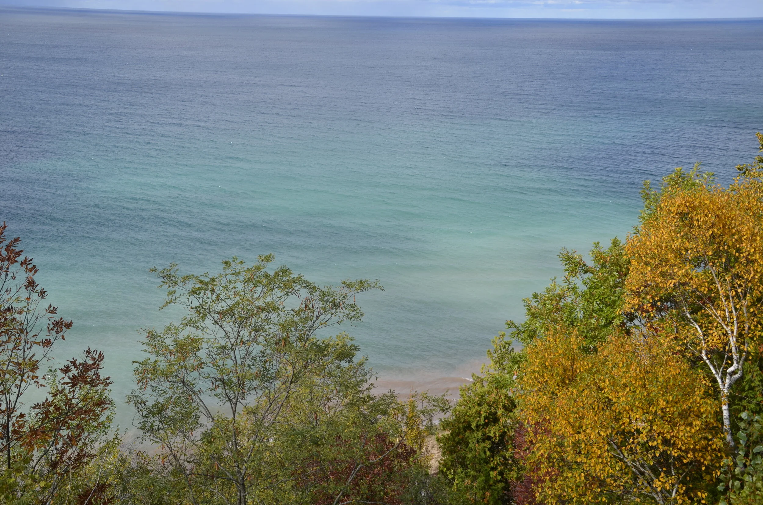
We finally got some clear skies as we headed over to the Lake Michigan coast (about halfway down the “mitten” of the state - look at a state map, and you’ll see what I mean about the shape of MI).
Again, this was hard to process that this is a freshwater lake. The gradations of blue were mesmerizing -
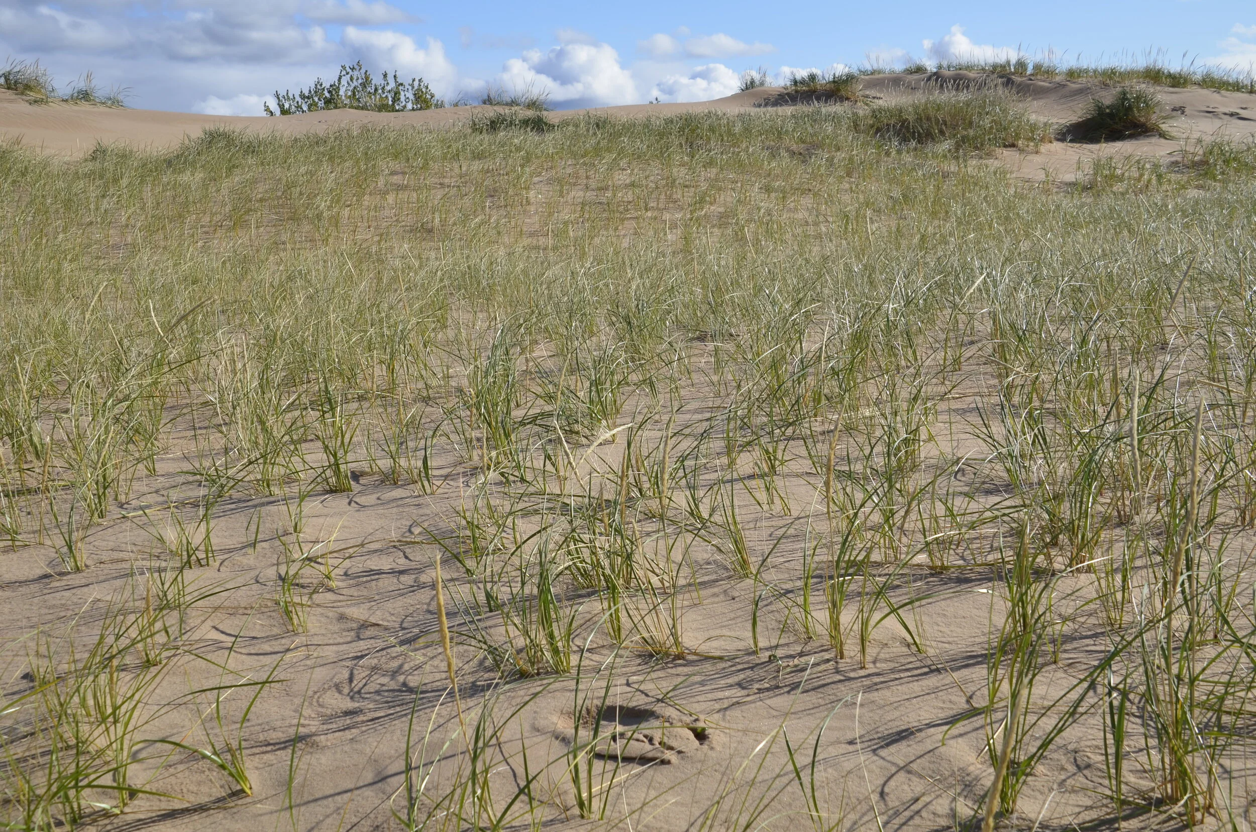
Our goal on this side of the state was Sleeping Bear Sand Dunes National Lakeshore. The eponymous shape has apparently eroded away, but the sights were still pretty awesome.
(the person in the upper right portion gives scale)
We enjoyed our hike amongst the dunes and various vegetation types -
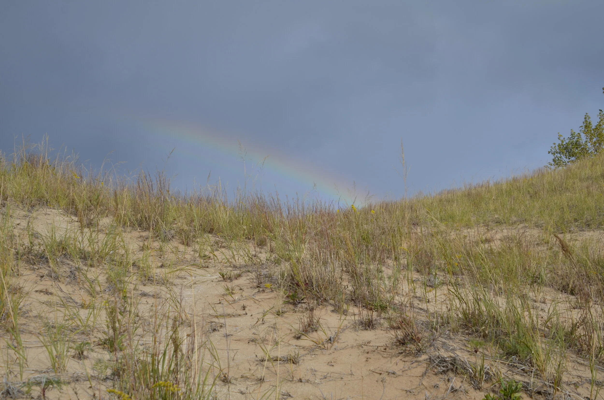
…but as we saw what we were meeting at the top of that hill:
…we knew we were in for yet another soaking. Man, we got tired of rain!
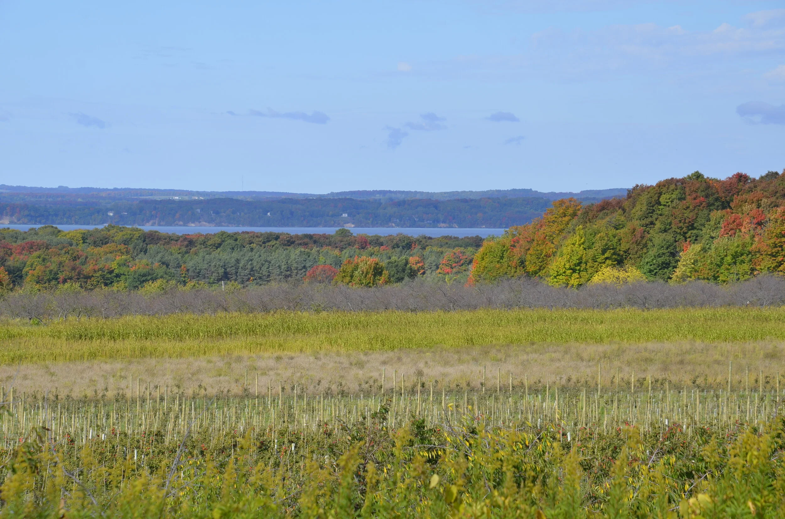
Near the top of the state mitten, still on the Lake Michigan side, we found a narrow, beautiful peninsula, Old Mission, that has a great climate for growing apples, cherries and grapes.
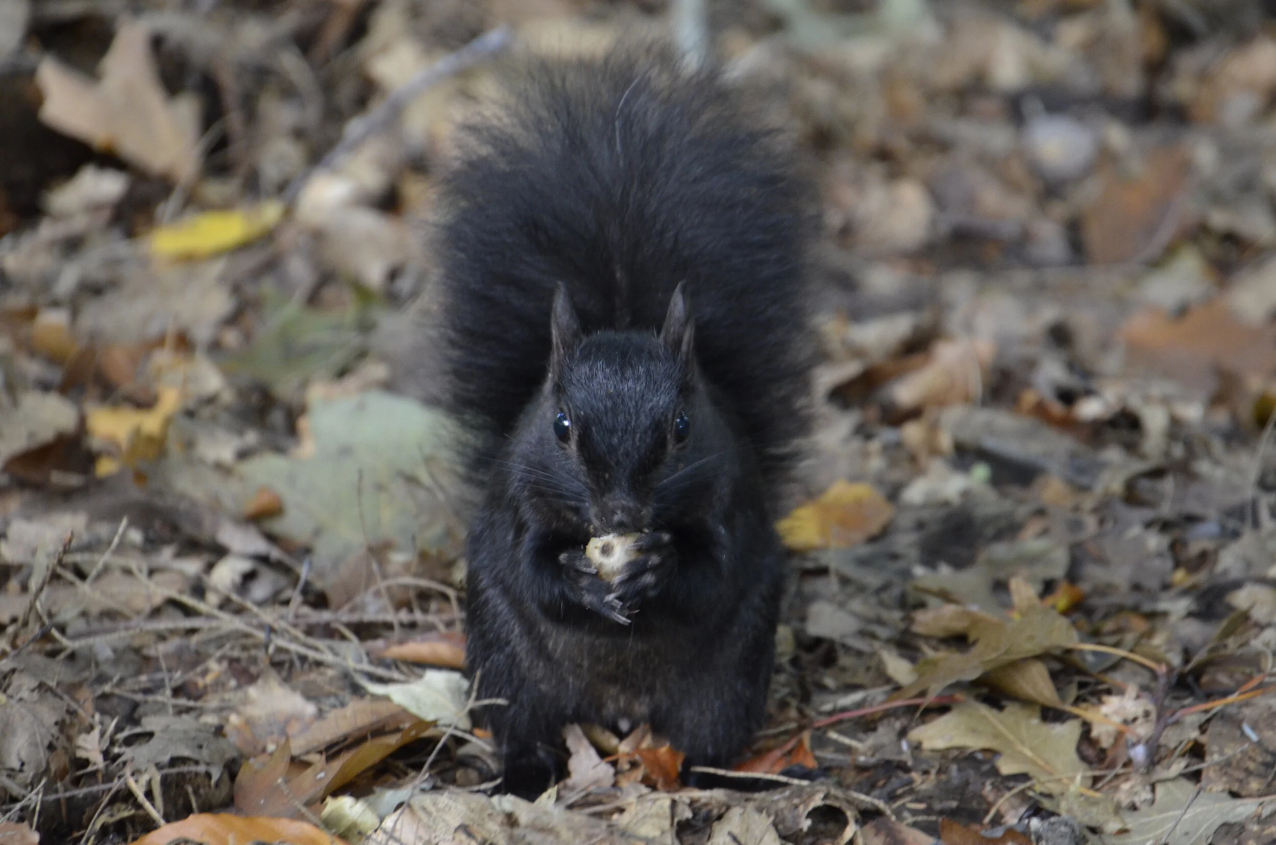
While hiking there, we encountered one of their unique inhabitants:
Black squirrels are found in the upper Midwest, and just have a genetic variation in fur color from their more drab counterparts further south.
Driving over to the Lake Huron side of the state, we found much less tourism and much calmer waters -
Lighthouses are apparently quite numerous along the shores of the Great Lakes, but we just weren’t that impressed, after touring North Carolina’s Outer Banks last year.
On our way back home, we swung by Indiana Dunes National Park, our nation’s newest N.P.
Especially after having just enjoyed Sleeping Bear Dunes, Steve quipped that the rangers at Hot Springs National Park (our previous front runner for worst N.P.) had voted in Indiana Dunes, so they wouldn’t be last.
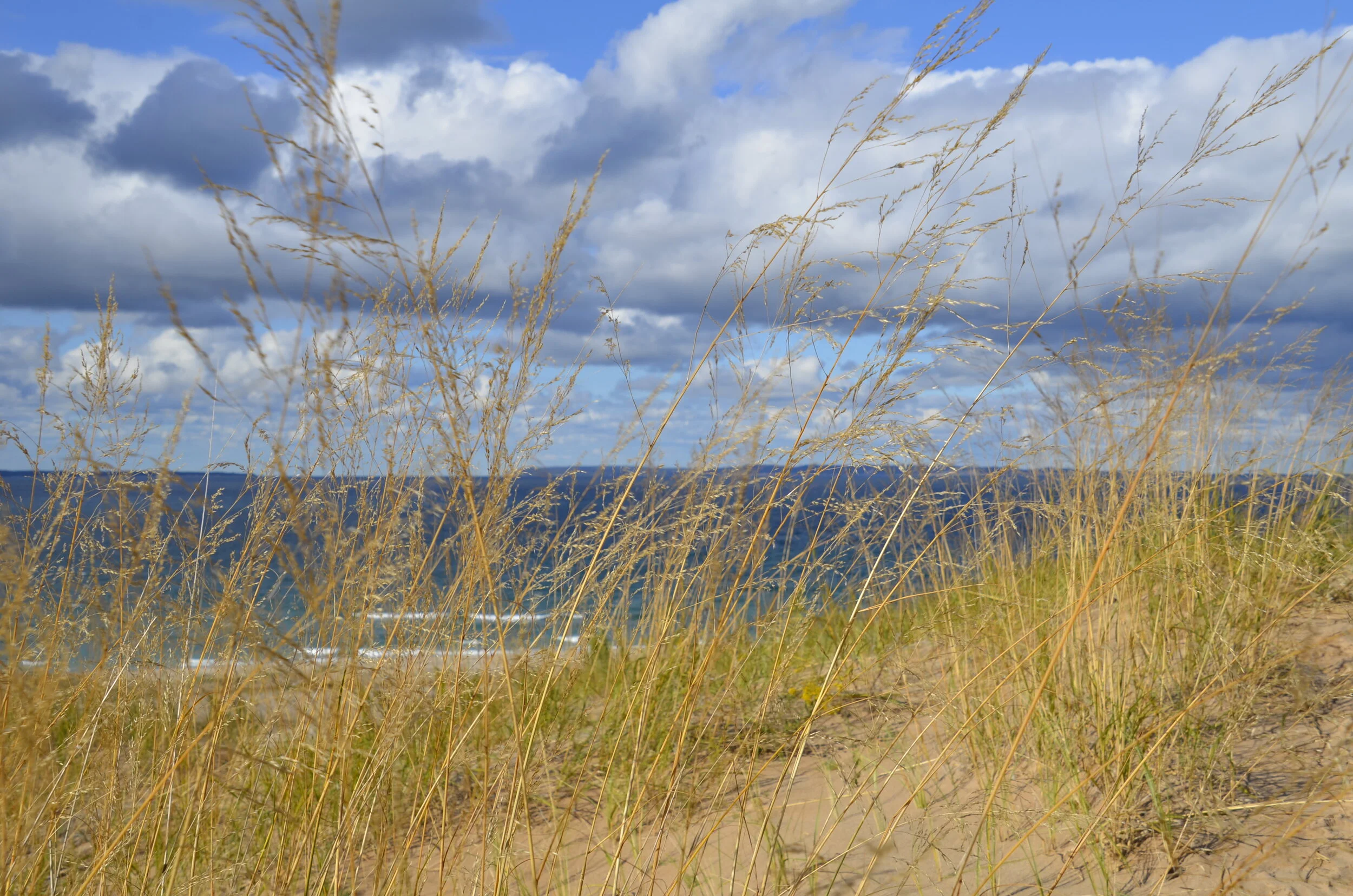
Speaking of Sleep Bear, I’ll close with my favorite “arty” picture from this state:


