Michigan

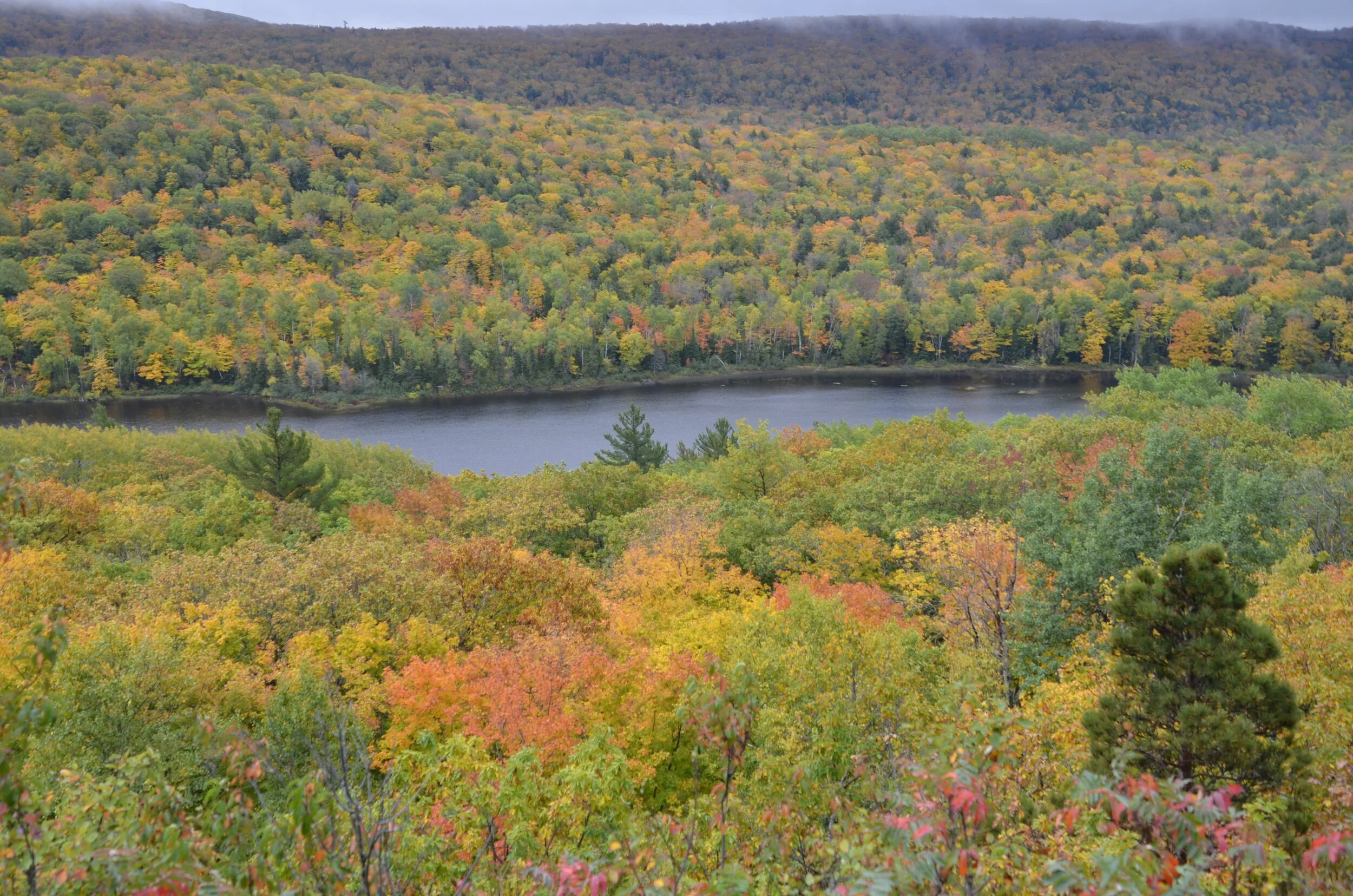
As we were leaving WI, a chatty fellow in the parking lot of the motel told us about a beautiful area in the western UP (Upper Peninsula) with gorgeous overlooks and vistas that included Lake of the Clouds, in the Porcupine Mountain Wilderness State Park.

_DSC5286.JPG

We truly were in the clouds that day, as they rolled in, and proceeded to rain on us from the middle of our hike to the end and beyond.

hopefully, you can appreciate the variety of colors, despite the gloomy lighting

hopefully, you can appreciate the variety of colors, despite the gloomy lighting

But what’s a little rain to intrepid travelers, eh?

_DSC5294.JPG

We continued driving along the shore of Lake Superior…

_DSC5305 Lake Superior.JPG

…to reach the Keweenaw Peninsula. When I was perusing the atlas before our trip, I was taken by the little spine sticking up into Lake Superior, as the northernmost point in Michigan. Of course we had to drive to the end of the road!

_DSC5314.JPG

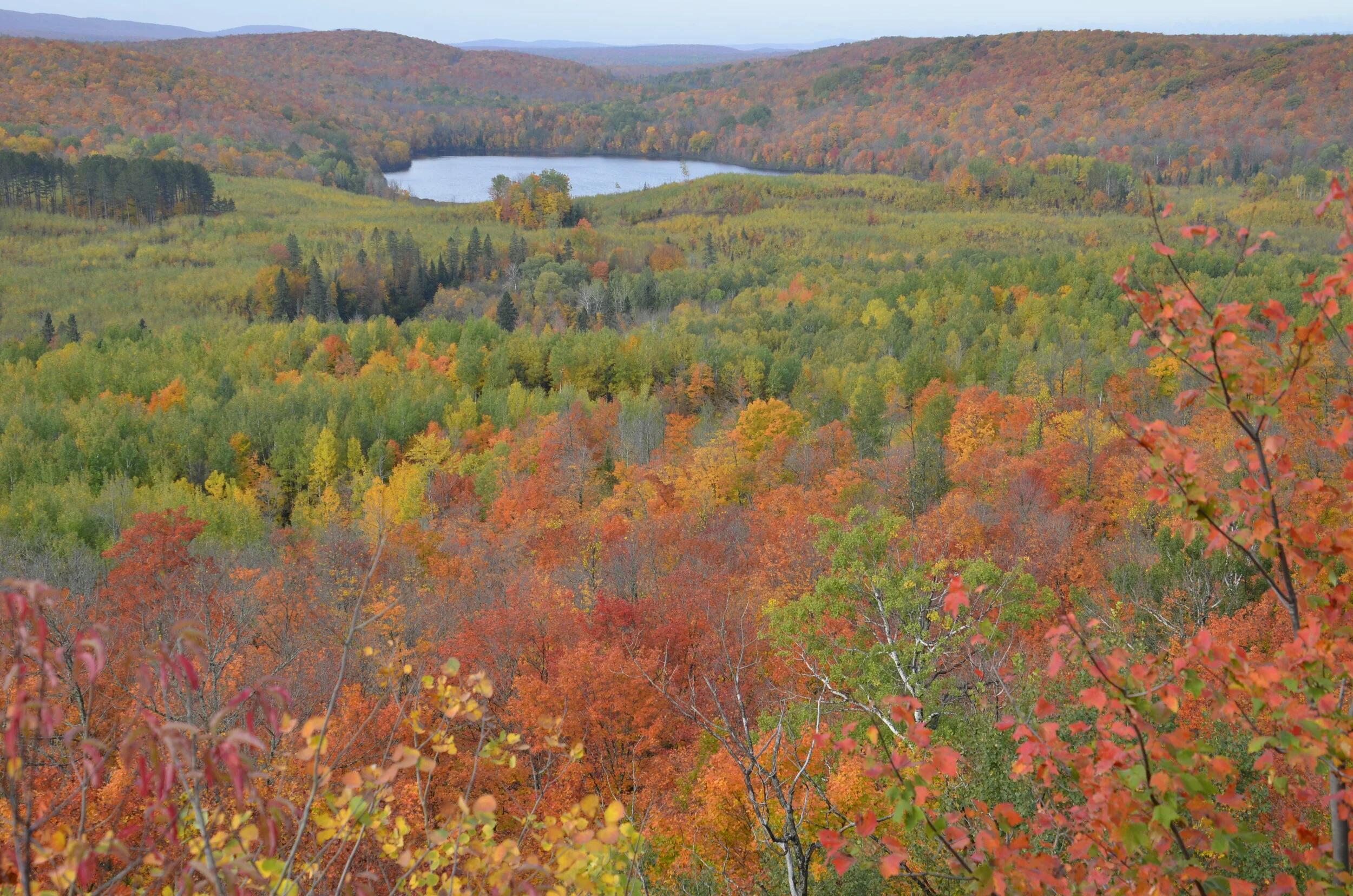
And we’re so glad we did. We took in some of the most beautiful hillsides of our entire trip.

_DSC5308.JPG

I really hope that whatever device you’re looking at these pictures with, brightens up the colors. It’s depressing to me that what I see on my computer from my pictures file (gorgeous!) gets really dulled down once I post it to the blog. Ah well…on with the story.

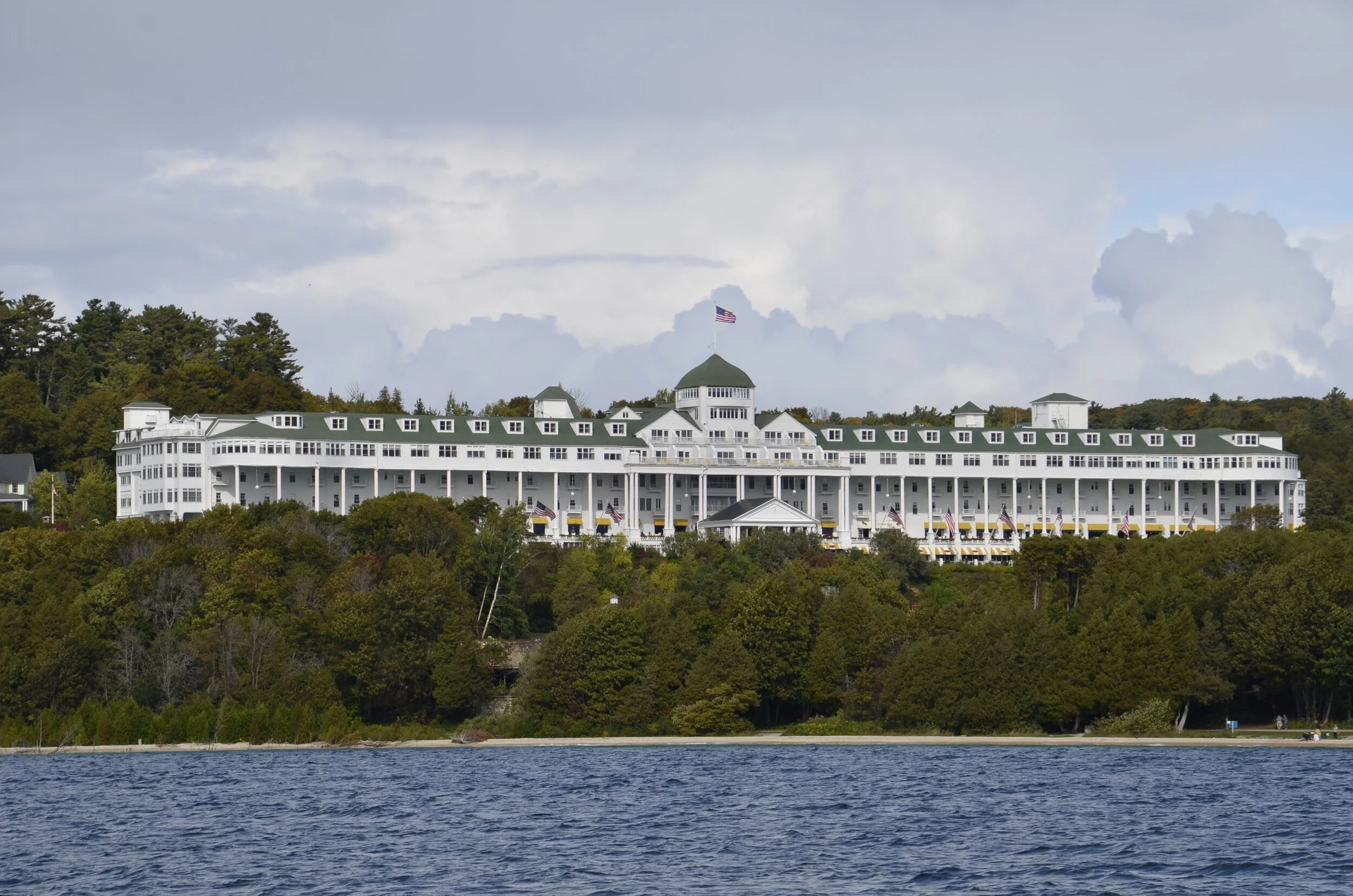
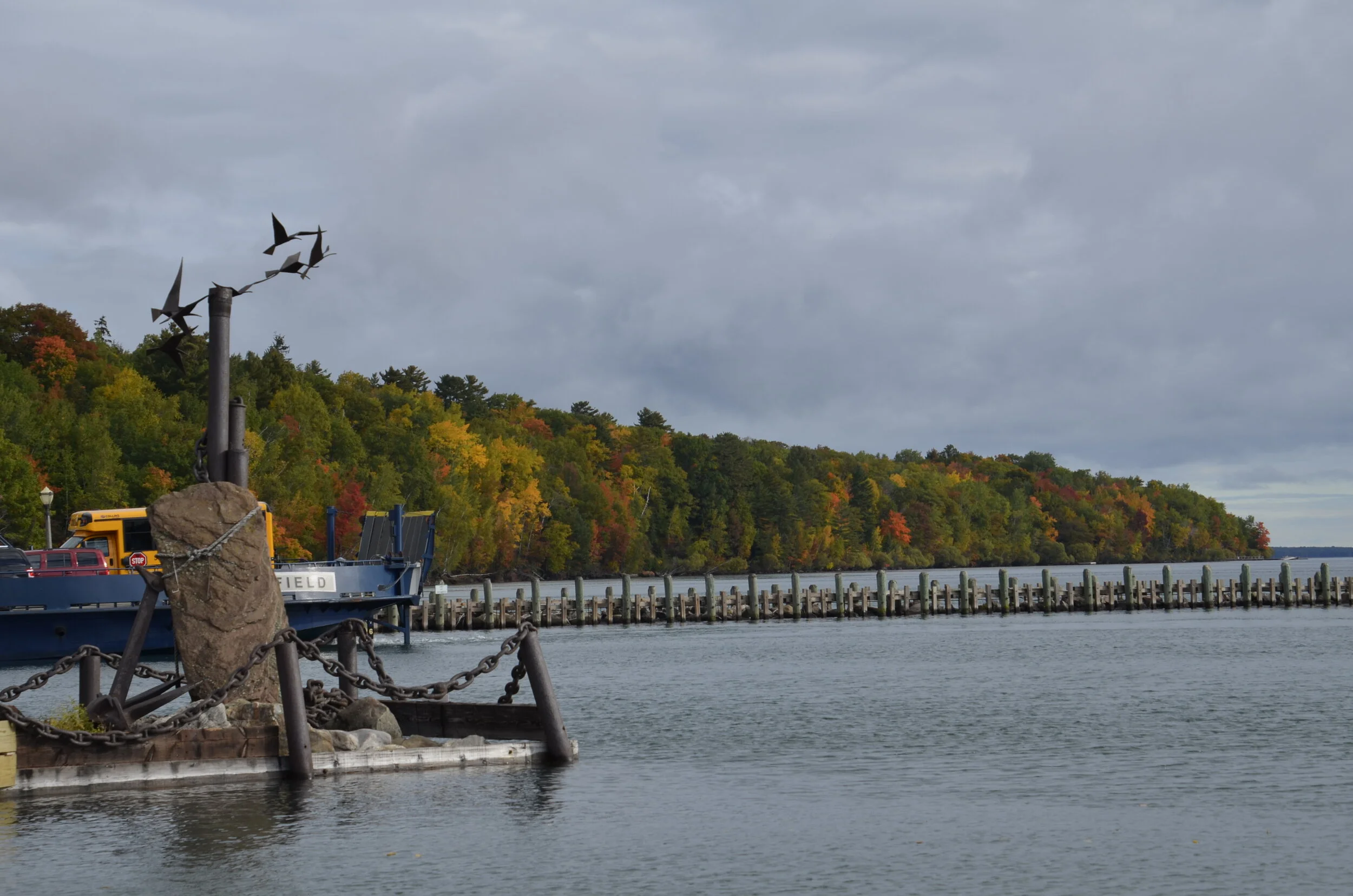
We wanted to go to Pictured Rocks National Lakeshore, but the weather for the next several days was predicted to continue cloudy and mostly rainy. So we headed to Mackinac Island for a couple of days of R&R. On the ferry ride over, we were treated to a magnificent view of the Grand Hotel (“the world’s largest summer hotel”) where we did NOT stay due to the $500+ room charge…

_DSC5329.JPG

We enjoyed the B&B where we stayed, on Main Street…

_DSC5338.JPG

…and because we had sunny clear skies, we rented bicycles to ride around the circumference of the island (8 miles).

Lake Huron

Lake Huron

Two miles into the ride, a squall approached us:

_DSC5353.JPG

…and soaked us for the rest of our ride. Heading into the brisk wind off the lake wasn’t very fun, either. The weather really didn’t cooperate very well with us on this trip.

Well, the next day brightened up some, so we walked up on paths and roads through the middle of the island. Mackinac (pronounce Mack-i-naw) does not allow motor vehicles on the island (other than some emergency ones), so transportation is by foot, bicycle or horse drawn conveyances.

IMG_20201001_155923656.jpg

Also, for unknown reasons, fudge shops are prolific along Main Street, and tourists are referred to as “fudgies”. A woman we met out walking said she wants to make a scratch-n-sniff for the island - horse manure, lilacs and fudge.

IMG_20201001_161137831_HDR.jpg

So, we then headed back up into the UP, again trying to visit Pictured Rocks Lakeshore, but were again thwarted by dark skies and impending rain. Soooo…we then headed east on the UP, and visited Tahquqmenon Falls State Park.

_DSC5390.JPG

The water has a brown cast due to the tannins from the cedar swamps which the river drains.

_DSC5368.JPG

Continuing on along Lake Superior…

_DSC5422.JPG

…we were curious about how locks work, so ended up in Sault Ste. Marie. The Soo Locks, as they’re locally known, have been used since 1855. They bypass the rapids of the St. Marys River between the Great Lakes of Superior and Huron. Obviously locks built in 1855 couldn’t handle the enormous ships of today, but the engineering idea is the same. They work by gravity.

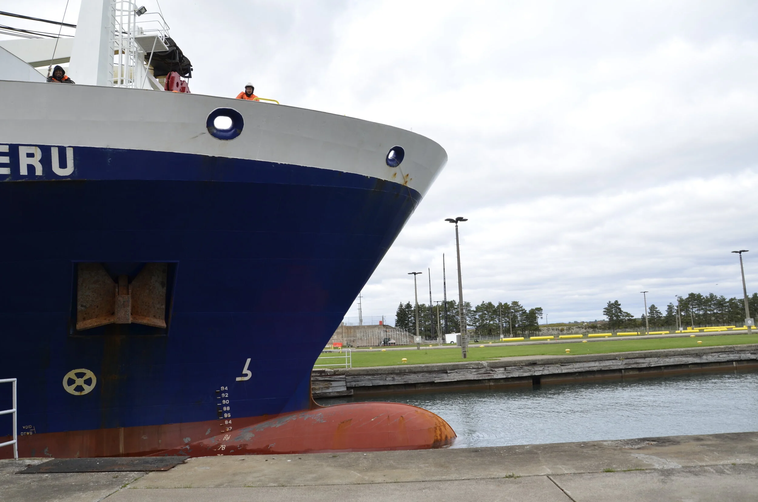
Unfortunately, the observation deck overlooking the locks was closed due to COVID, so I had to settle for pictures taken between bars of the retaining fence erected around the works. This is what we saw as the 400+ ft ship entered the lock:

note the yellow clad worker to sort of give scale

note the yellow clad worker to sort of give scale

The control bridge of the ship towered at least 7 or 8 stories above its deck, while the deck was several stories above our position. After the ship entered the lock, the massive doors behind it in the water shut.

_DSC5428.JPG

This is what we could see at the beginning of the process. Then the doors in front of the boat opened slowly…

_DSC5429.JPG

…and after about 10 minutes, the boat had dropped about 20 feet in front of our eyes. Once the gates were opened fully in front of it, the massive ship moved on.

_DSC5436.JPG

The largest ships that can be accommodated through the locks are over 1,000 ft long! It was a fascinating way to spend an hour.

The next day, we tried a third and final time to head toward Pictured Rocks, but yet again were thwarted by bad weather. That coastline will just have to wait until our next trip up north to see Isle Royale and Voyageurs National Parks. Before abandoning the Yoopers (people who live in the UP), we had to try the local delicacy of a pasty (pronounced pass-ty).

PXL_20201003_165120953.jpg

It’s like a hand-held pot pie, with a marvelously flaky crust enclosing a rich mixture of caramelized onions, chopped carrots, “gravy” and ground beef. It made a very hearty lunch to power our drive down into the Lower Peninsula.

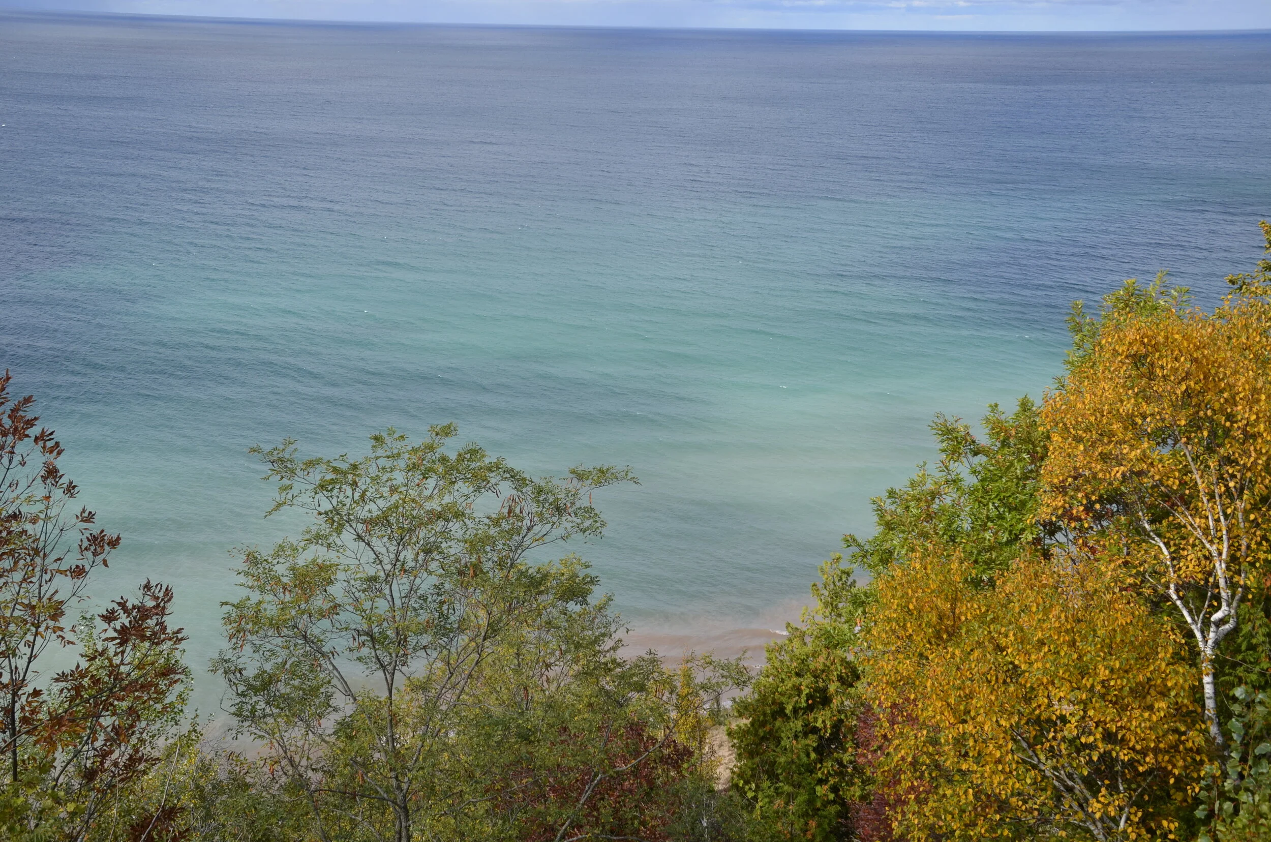
We finally got some clear skies as we headed over to the Lake Michigan coast (about halfway down the “mitten” of the state - look at a state map, and you’ll see what I mean about the shape of MI).

_DSC5453.JPG

Again, this was hard to process that this is a freshwater lake. The gradations of blue were mesmerizing -

_DSC5456.JPG

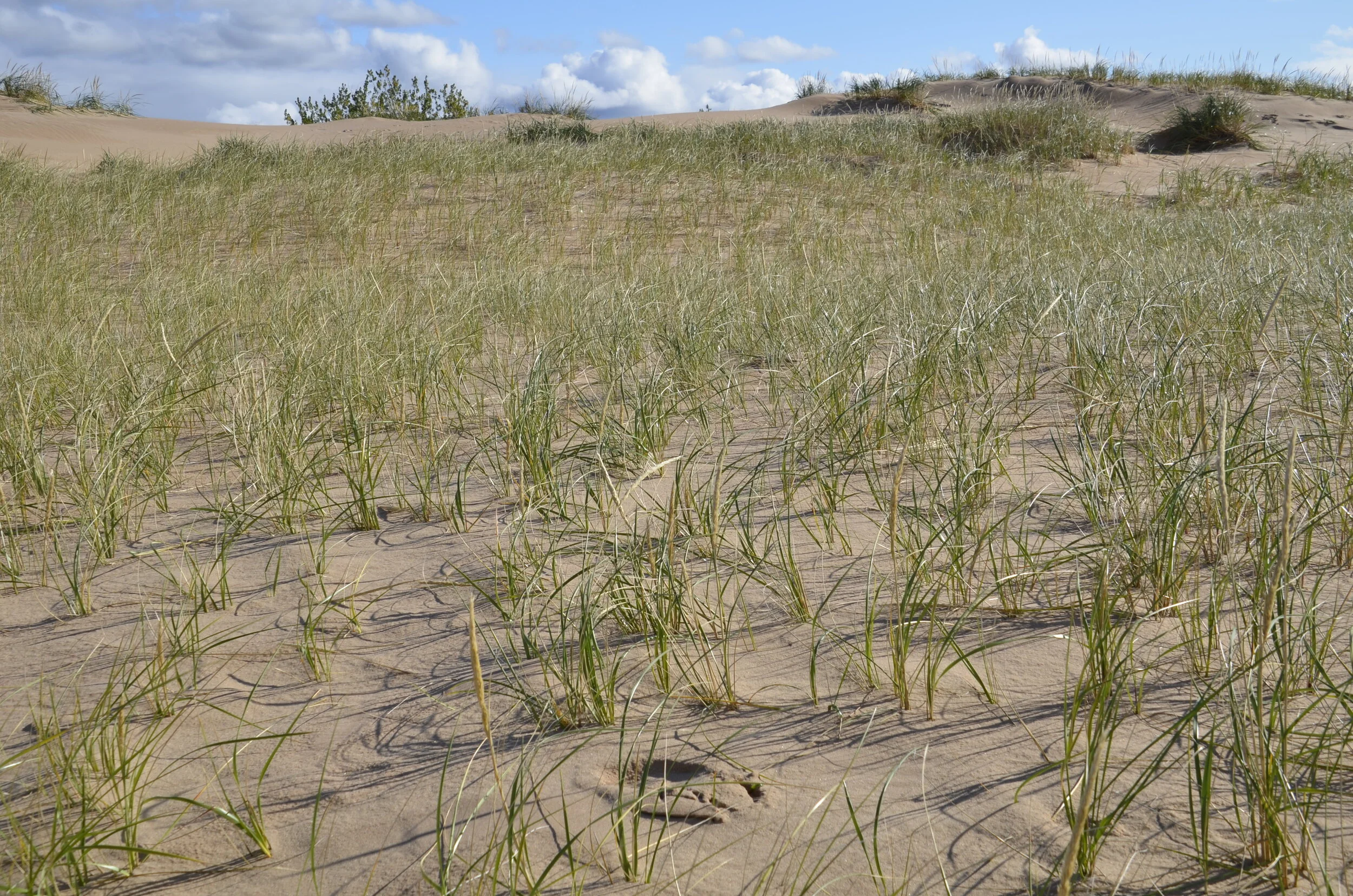
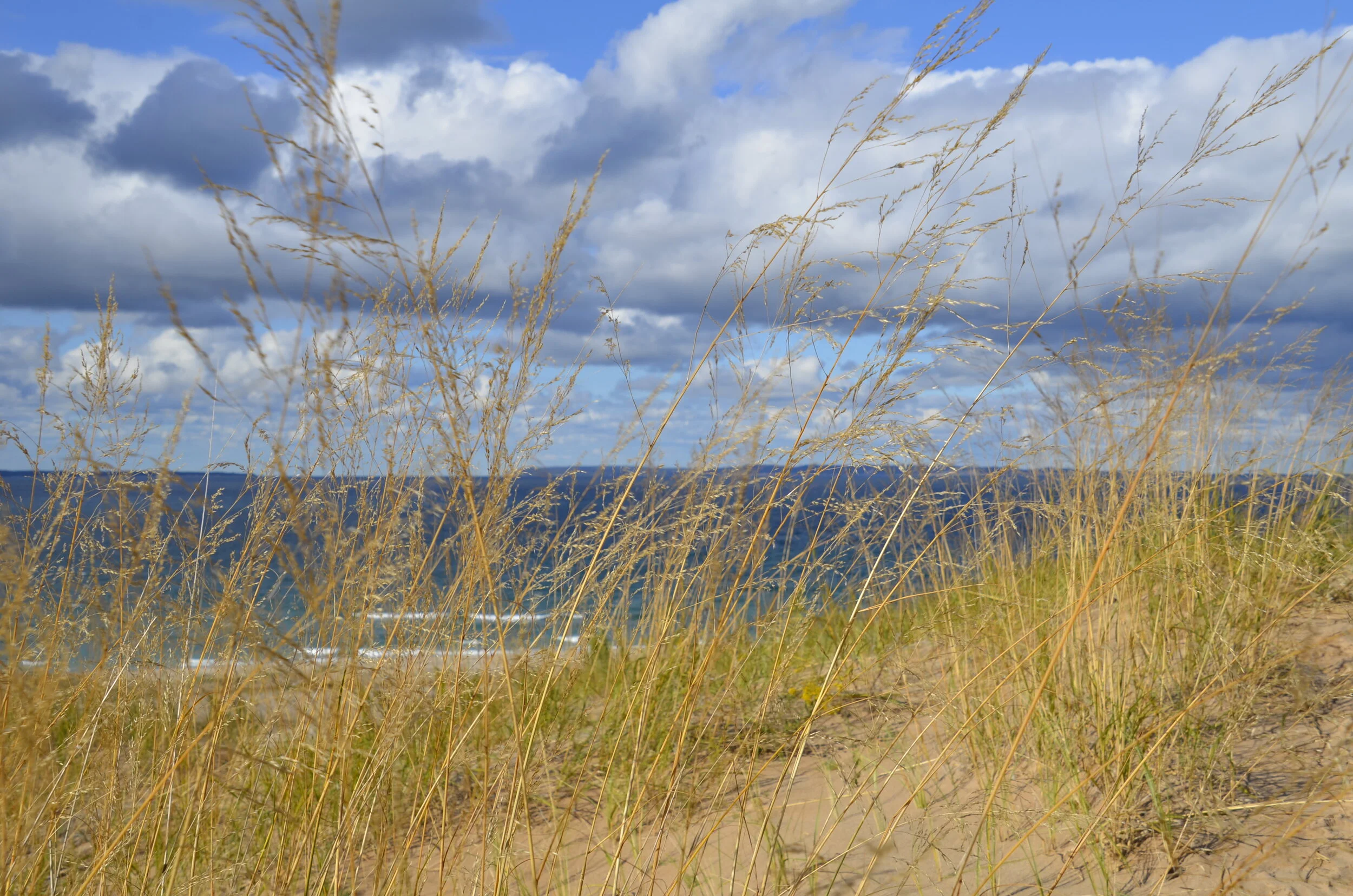
Our goal on this side of the state was Sleeping Bear Sand Dunes National Lakeshore. The eponymous shape has apparently eroded away, but the sights were still pretty awesome.

(the person in the upper right portion gives scale)

(the person in the upper right portion gives scale)

We enjoyed our hike amongst the dunes and various vegetation types -

_DSC5503.JPG

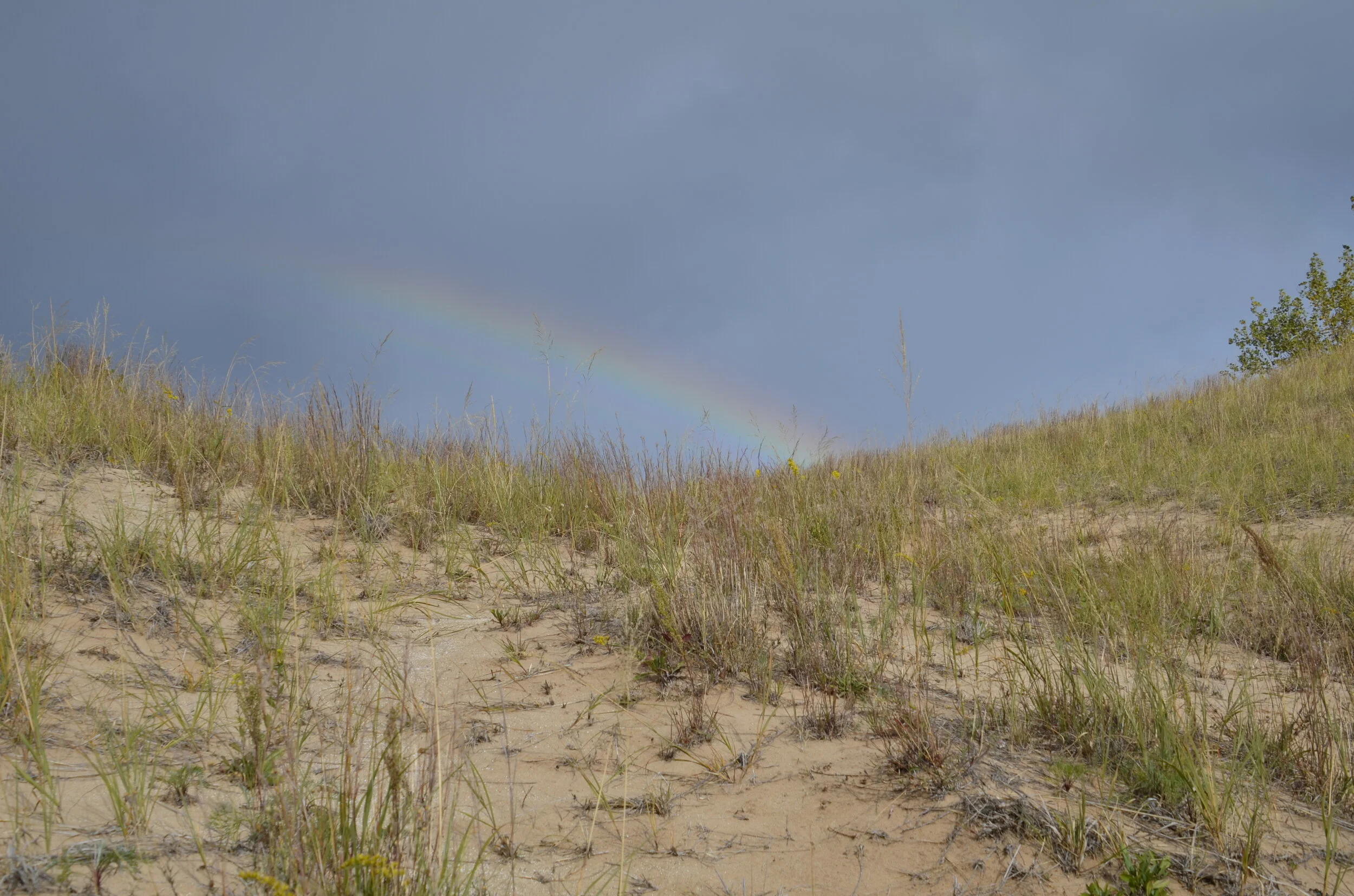
…but as we saw what we were meeting at the top of that hill:

_DSC5514.JPG

…we knew we were in for yet another soaking. Man, we got tired of rain!

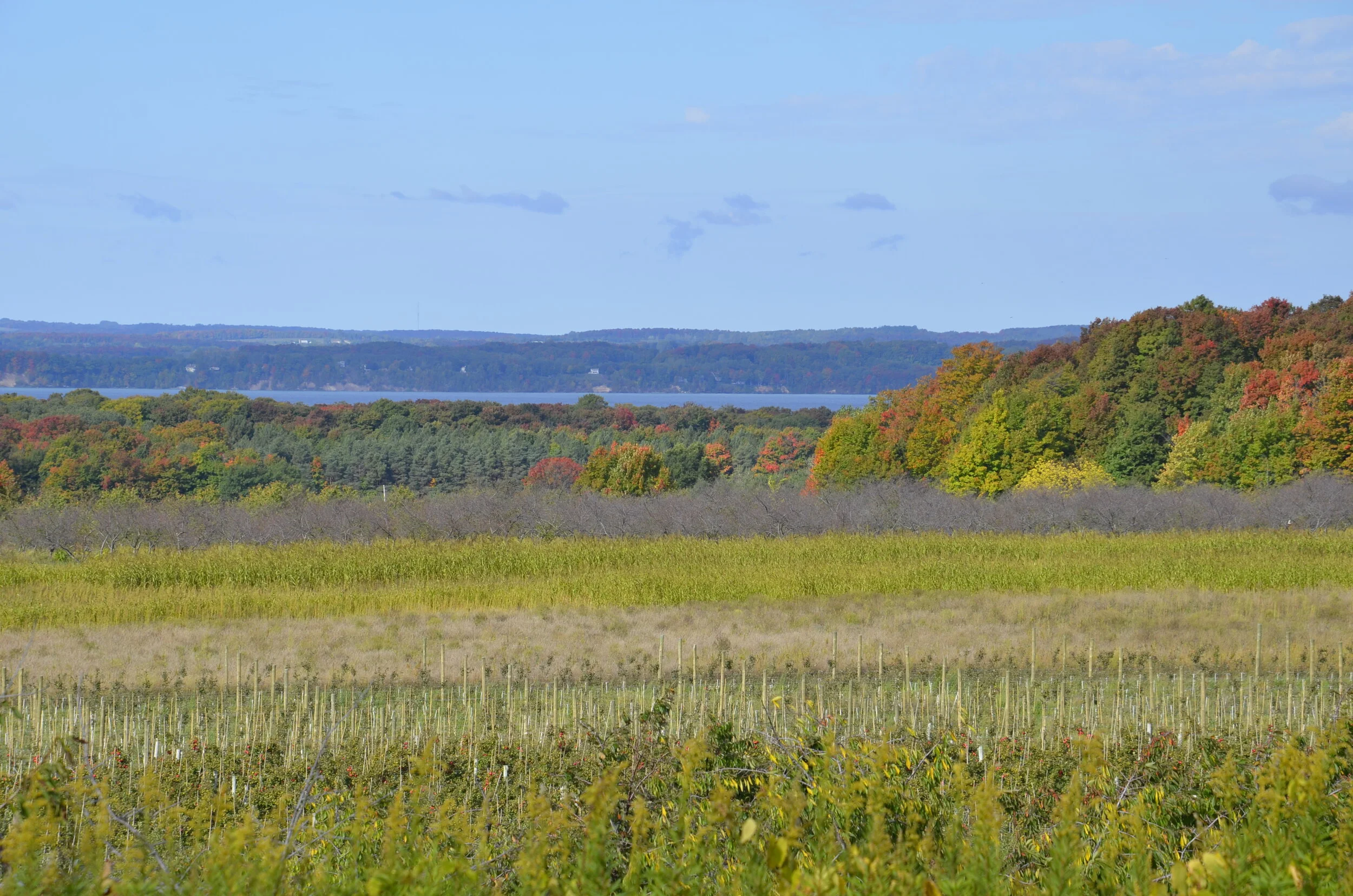
Near the top of the state mitten, still on the Lake Michigan side, we found a narrow, beautiful peninsula, Old Mission, that has a great climate for growing apples, cherries and grapes.

_DSC5534.JPG

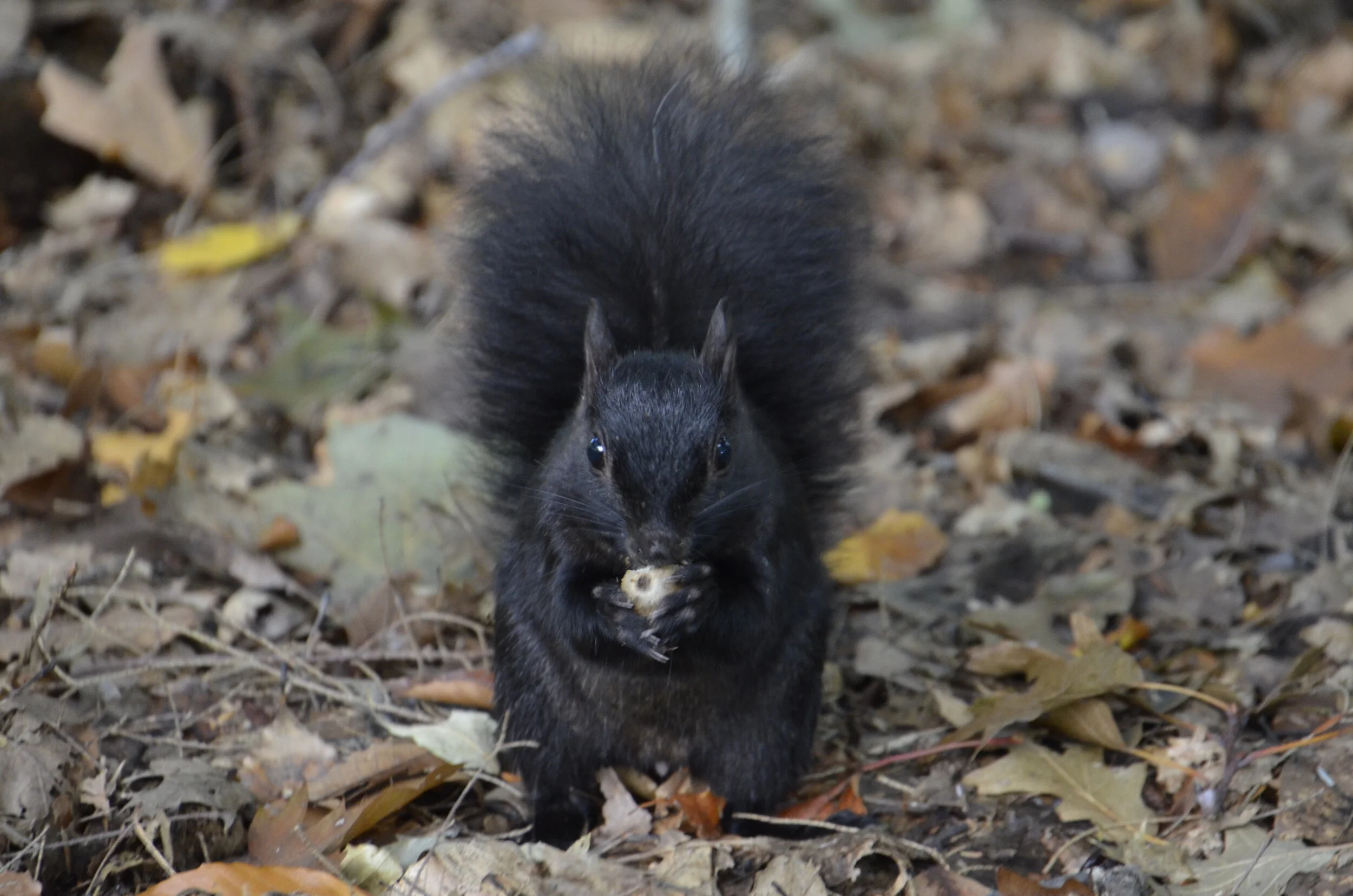
While hiking there, we encountered one of their unique inhabitants:

_DSC5516.JPG

Black squirrels are found in the upper Midwest, and just have a genetic variation in fur color from their more drab counterparts further south.

Driving over to the Lake Huron side of the state, we found much less tourism and much calmer waters -

_DSC5549.JPG

Lighthouses are apparently quite numerous along the shores of the Great Lakes, but we just weren’t that impressed, after touring North Carolina’s Outer Banks last year.

_DSC5553 Presque Isle Lighthouse.JPG

On our way back home, we swung by Indiana Dunes National Park, our nation’s newest N.P.

_DSC5588.JPG

Especially after having just enjoyed Sleeping Bear Dunes, Steve quipped that the rangers at Hot Springs National Park (our previous front runner for worst N.P.) had voted in Indiana Dunes, so they wouldn’t be last.

Speaking of Sleep Bear, I’ll close with my favorite “arty” picture from this state:

_DSC5508.JPG

Wisconsin

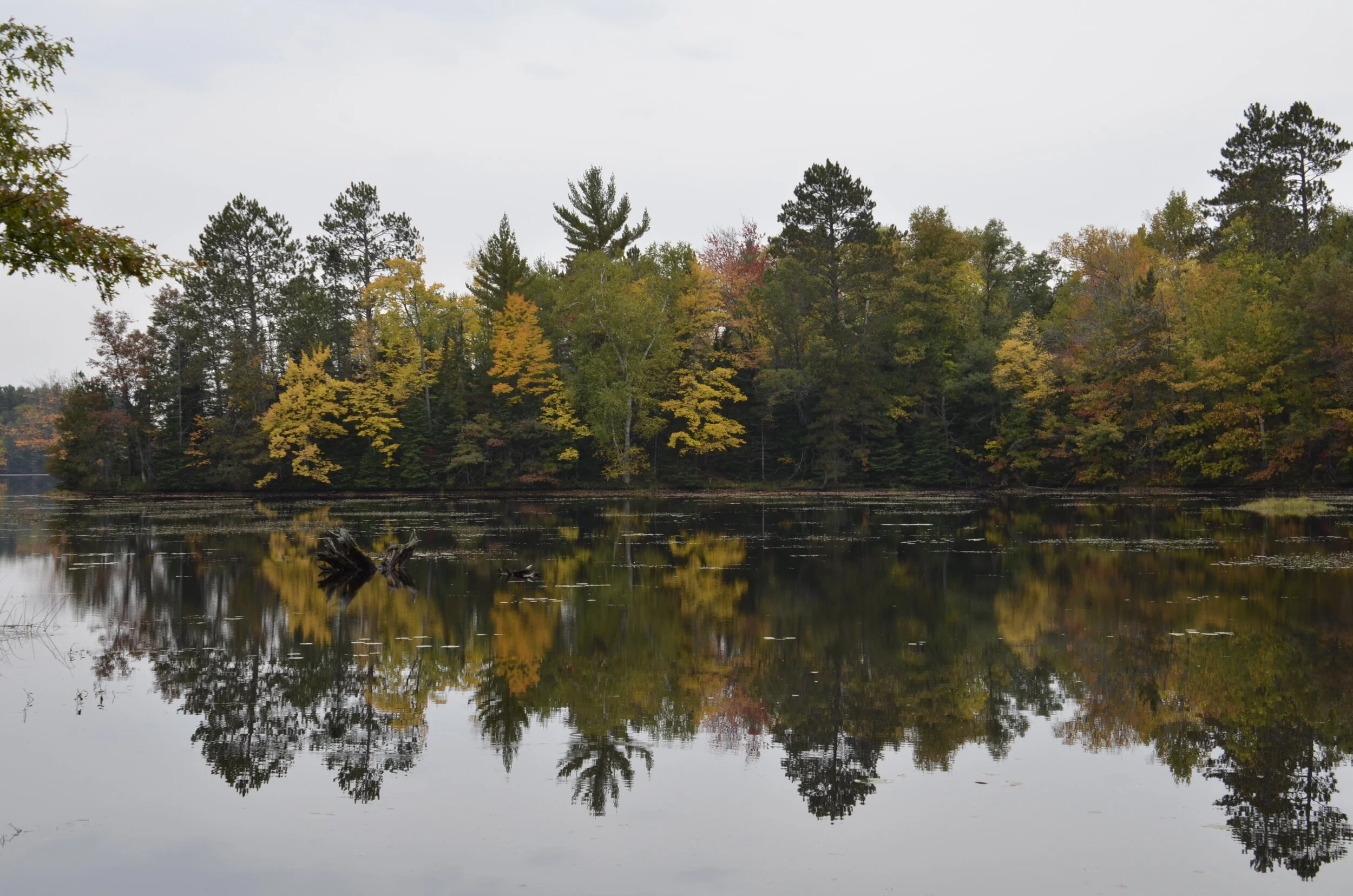
Yep, after Honduras, we headed to the wilds of WI! I was hoping that we timed our travel to track the color change ok, and it turned out more than ok!

_DSC5129.JPG

But, I’m getting ahead of myself. I just wanted to lure you in with a pretty picture up front! ;)

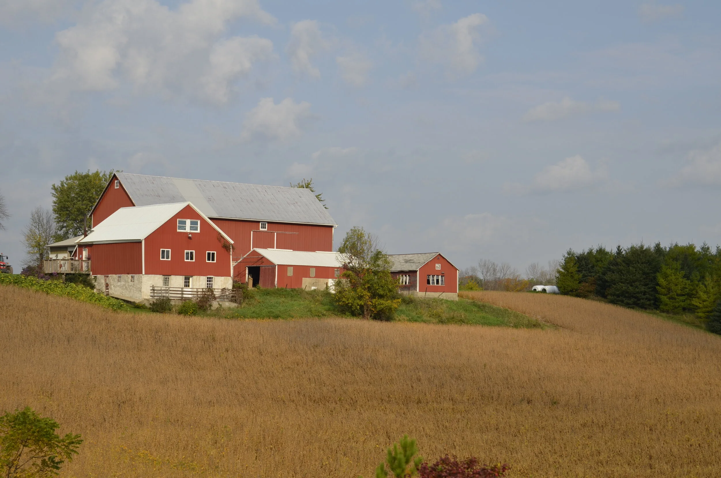
In one day’s drive, we made it into southern WI. It was very refreshing to see rolling hills, barns and cows grazing. This is Dairyland USA after all. Unfortunately, there was never a “perfect” picture of everything I wanted to capture, so I’ll share a few:

_DSC4987.JPG

Most of the barns we saw had silos (for storing corn for the cows during the winter) and interestingly had stone or brick bases - in contrast to the Midwest where they are all wood. Also, many had arched or rounded roofs, I guess to shed snow easier.

_DSC5154.JPG

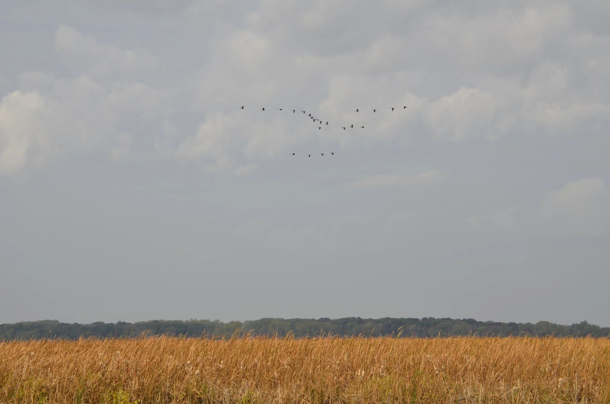
We stopped at Horicon Marsh Natural Wildlife Refuge in central WI and were treated to long lines of honking geese:

_DSC5008.JPG

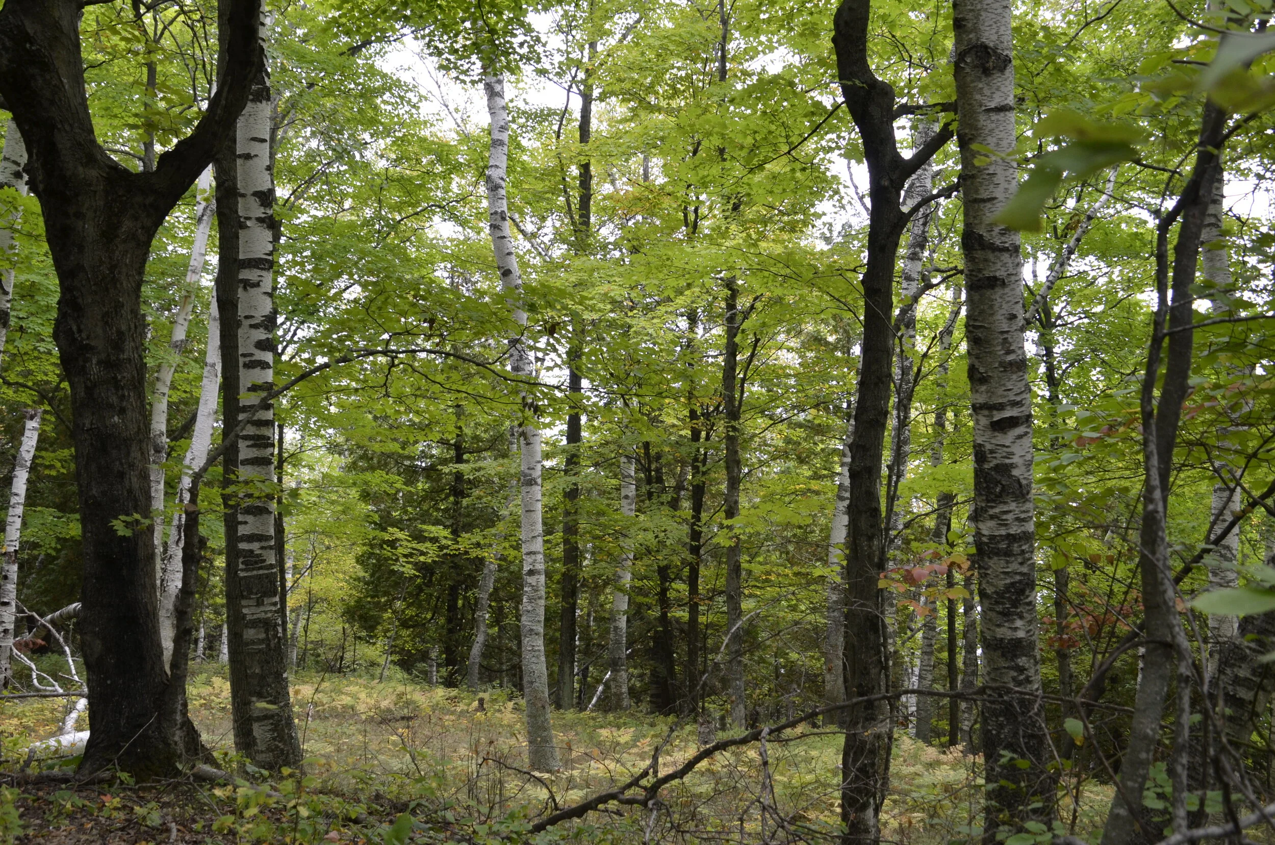
We went for a walk in the woods, and I fell in love with the beeches that proliferate around water, including the Great Lakes.

_DSC5016.JPG

I also fell in love with the accents here, don’t cha know? If you don’t know what I’m talking about, you need to watch the movie “Fargo”. The “ooo” sounds are accentuated, and they say things like “do you want me to warm this up a smidge?”

Sorry, I digress…as we drove north into Door County, we started seeing some colors, but it was early.

_DSC5022.JPG

Around Lake Michigan, we started seeing more:

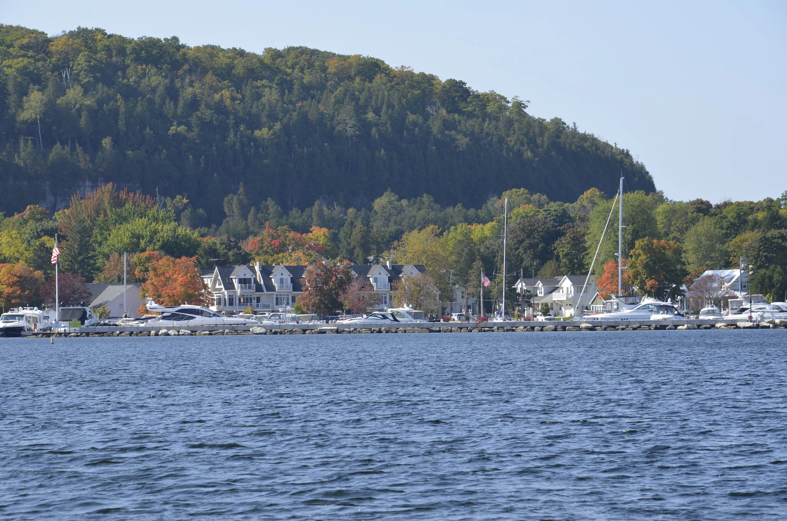
_DSC5036.JPG

It was odd for this Midwesterner to see lake water so clear (and to see a rocky bottom, instead of mud) -

_DSC5047.JPG

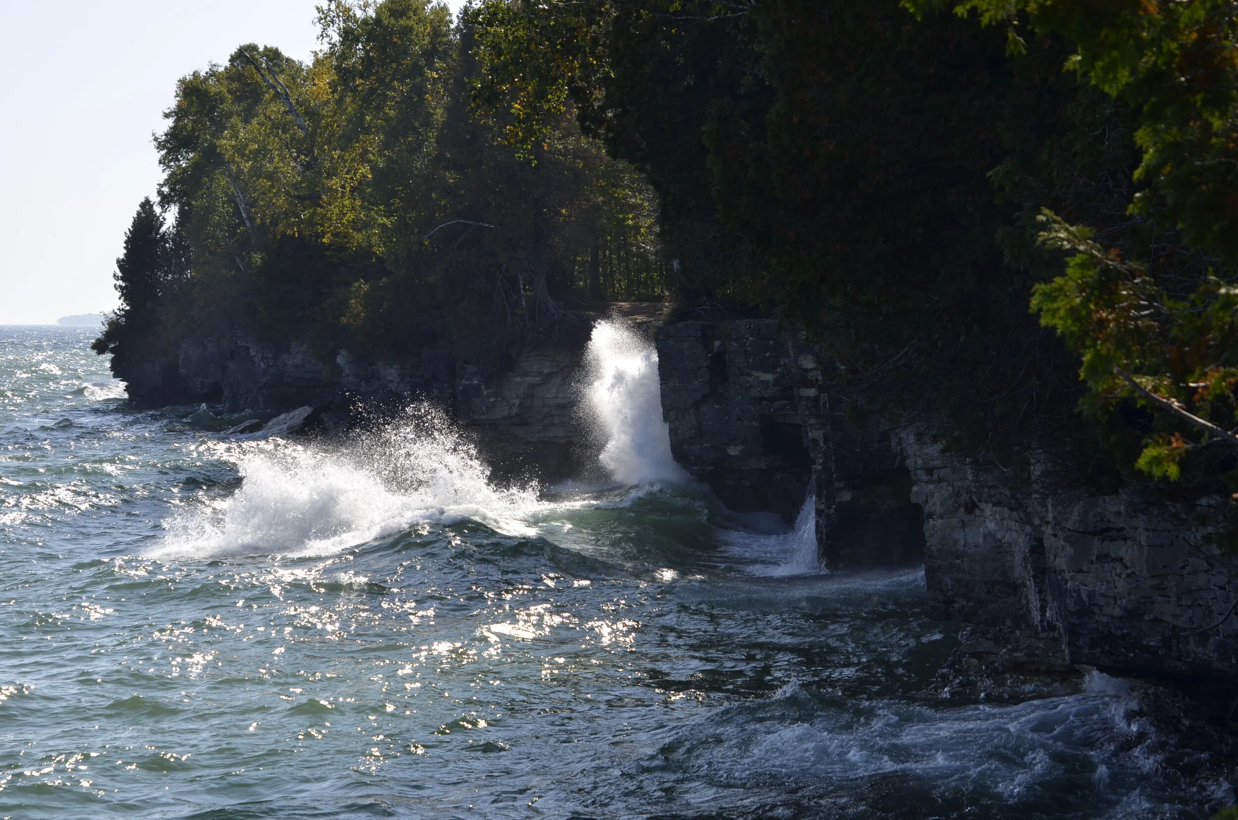
…and to see waves crashing against the shore (this is a lake?) -

_DSC5053.JPG

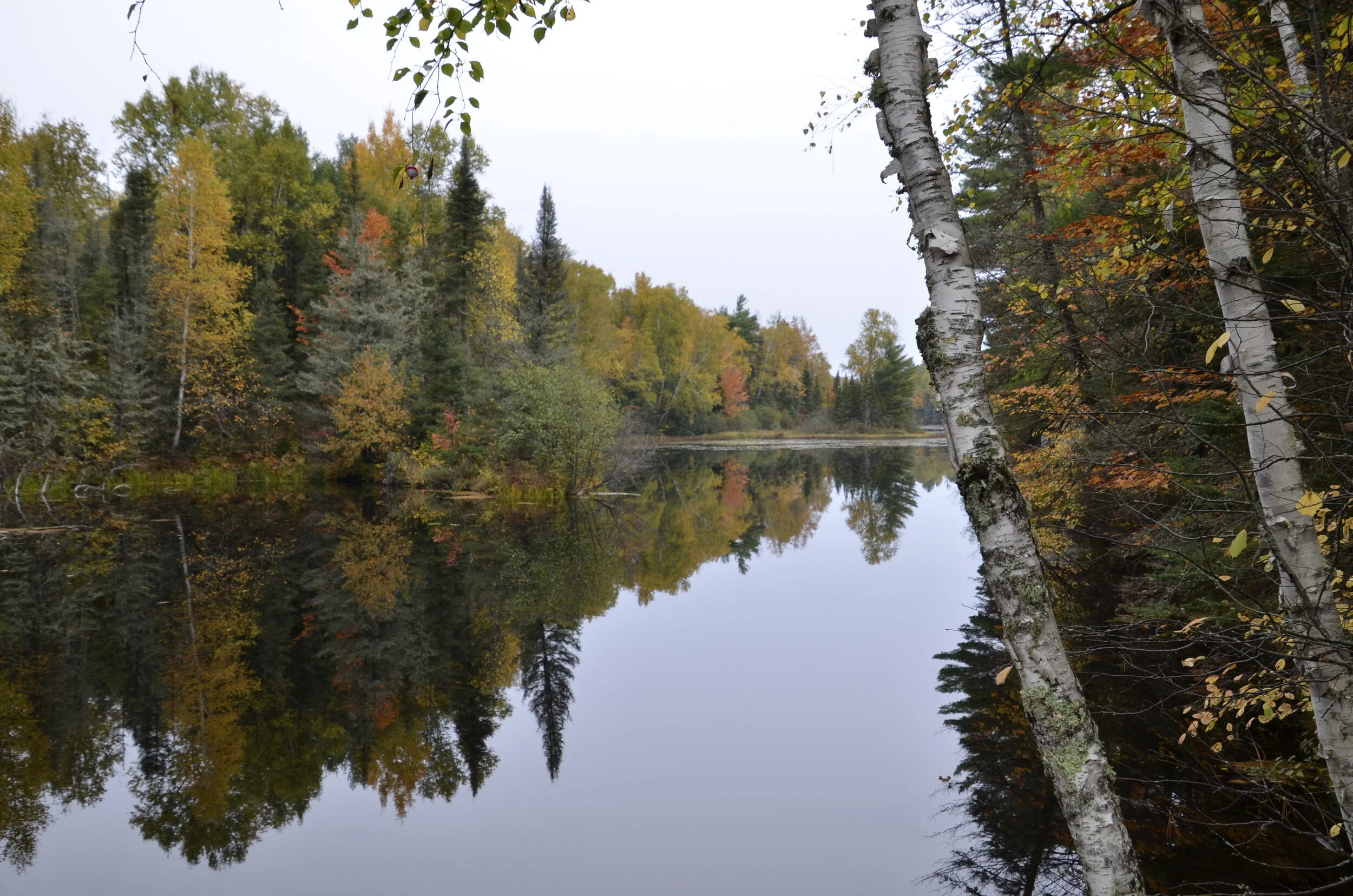
We continued driving north into the Northwoods… and just wow!

_DSC5075.JPG

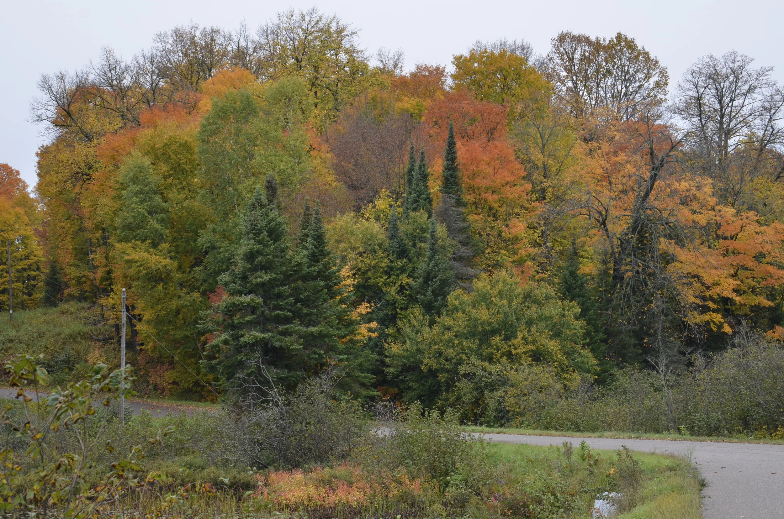
Even with overcast skies, the colors were just eye-popping.

_DSC5106.JPG

And then we came to “land o’ lakes” -

_DSC5092.JPG
_DSC5091.JPG

And we still drove north…

_DSC5118.JPG

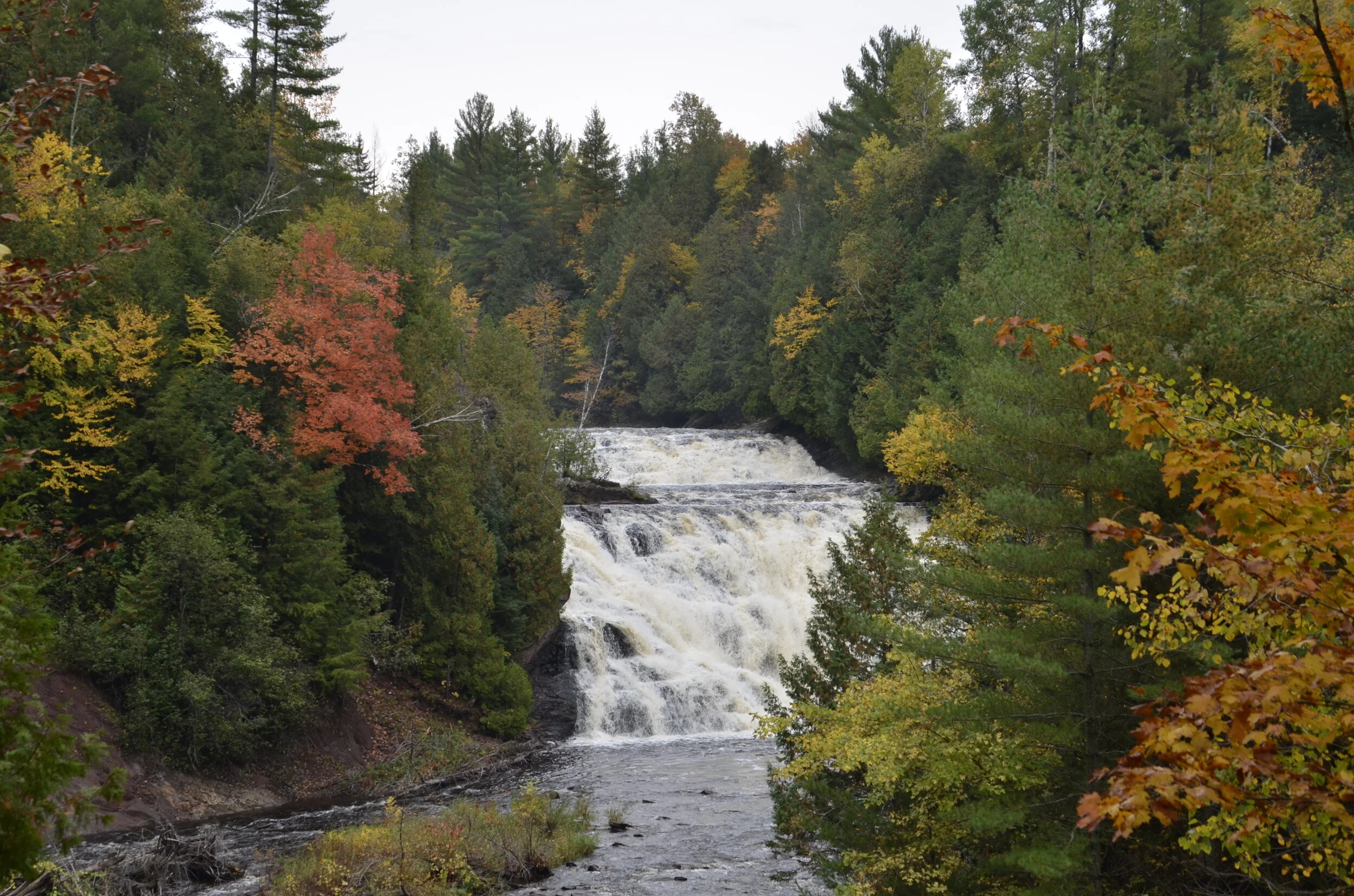
…seeing waterfalls -

_DSC5124.JPG

…and vistas -

_DSC5135.JPG

…reached by meandering paths -

_DSC5132.JPG

…until we reached Lake Superior:

_DSC5177.JPG

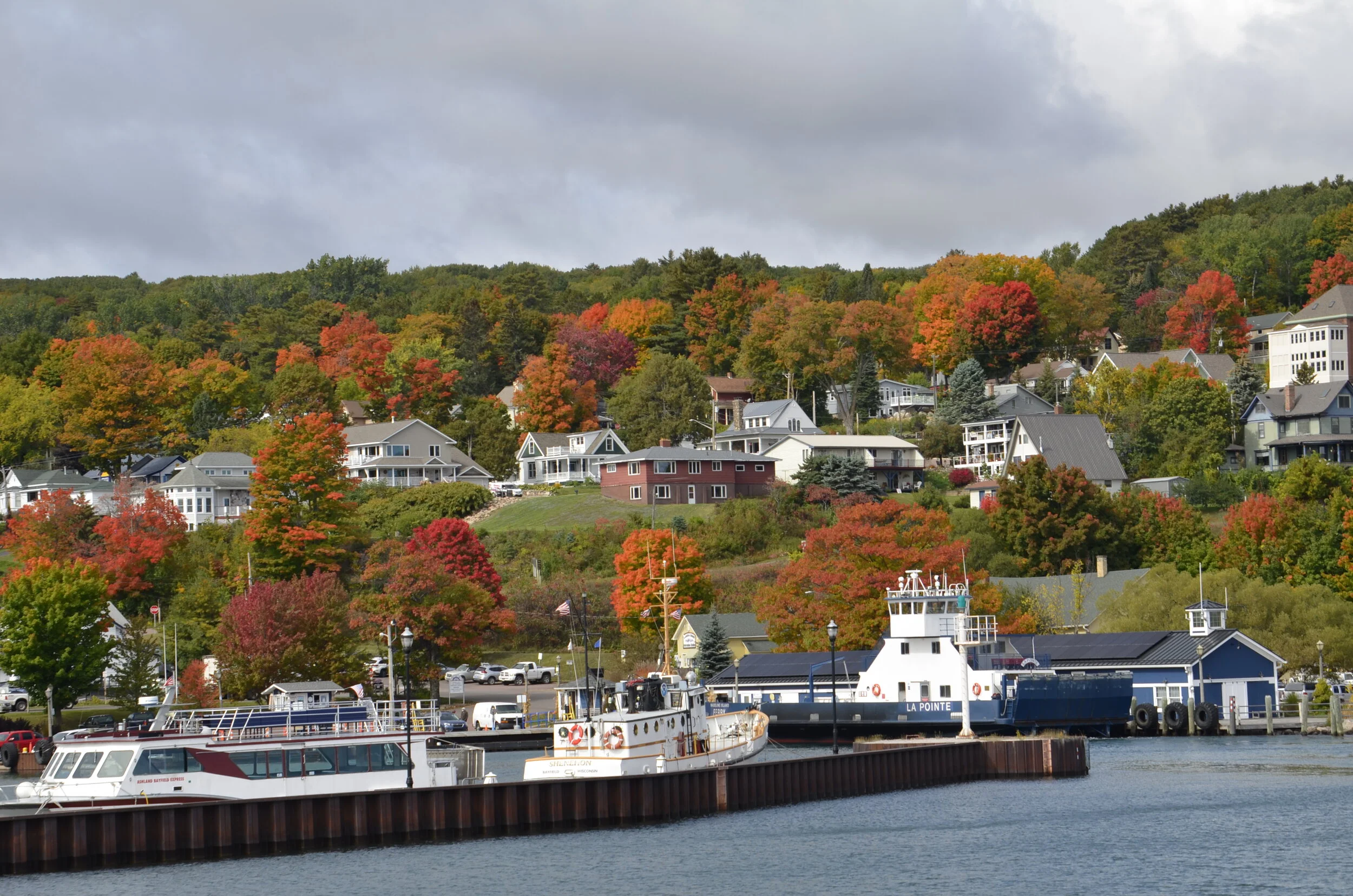
…and the pretty little town of Bayfield -

_DSC5278.JPG

…from where we took a boat tour into Lake Superior among the Apostle Islands (National Lakeshore).

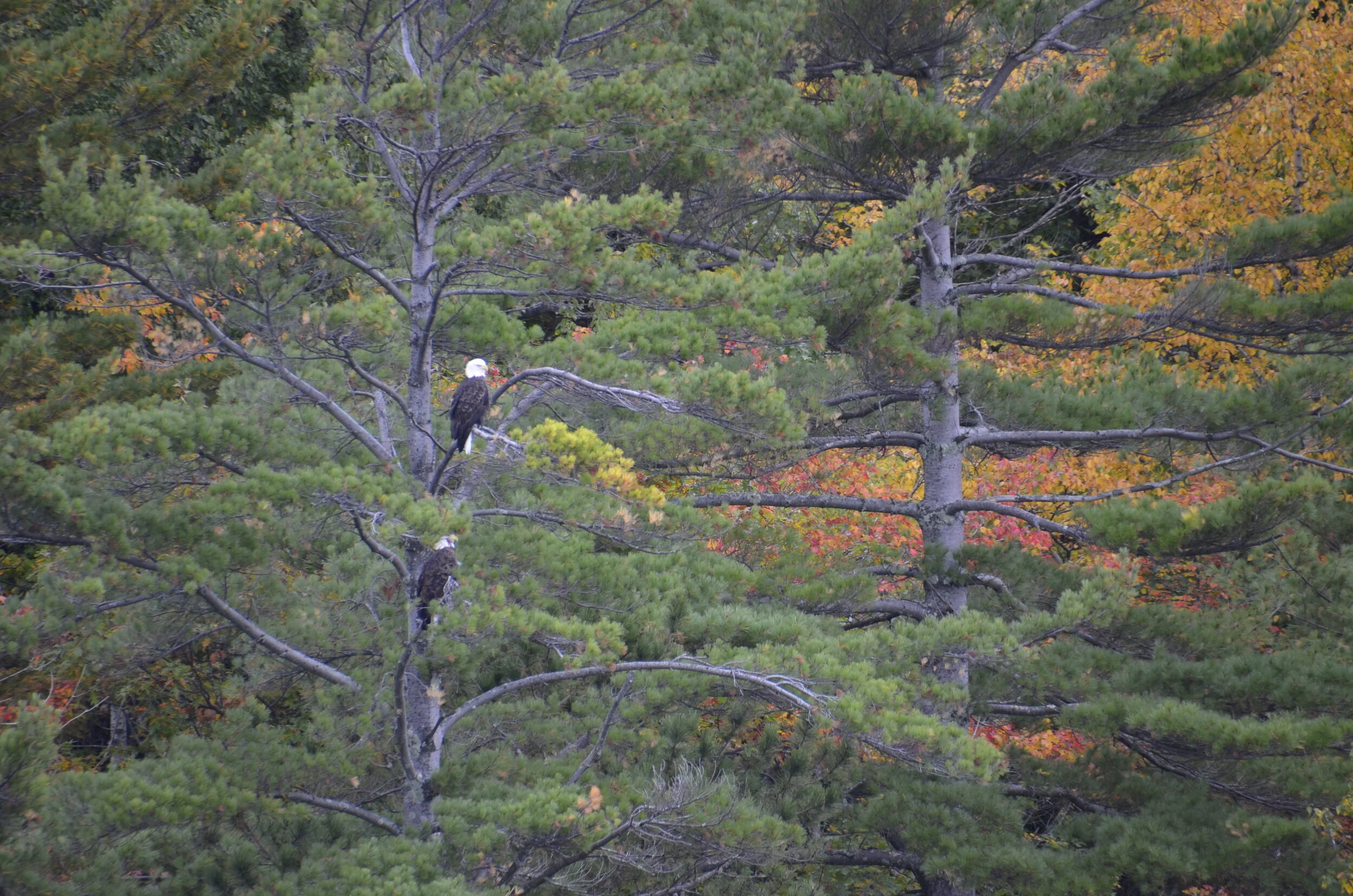
We got to see a number of bald eagles (no, I’m not tired of them from Alaska) -

_DSC5186.JPG

…but most of the 3 hour tour was overcast and very windy (read cold).

_DSC5196.JPG

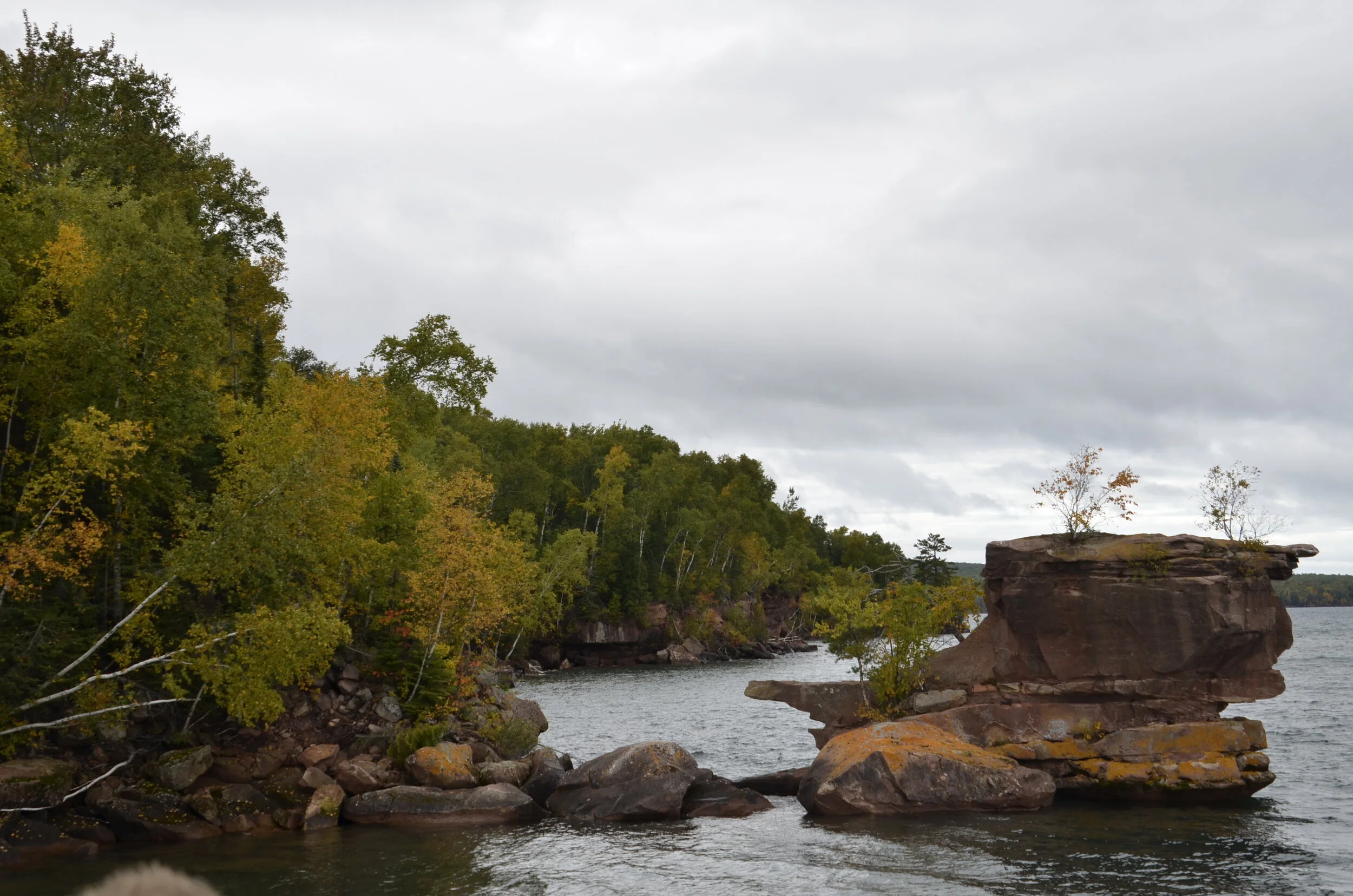
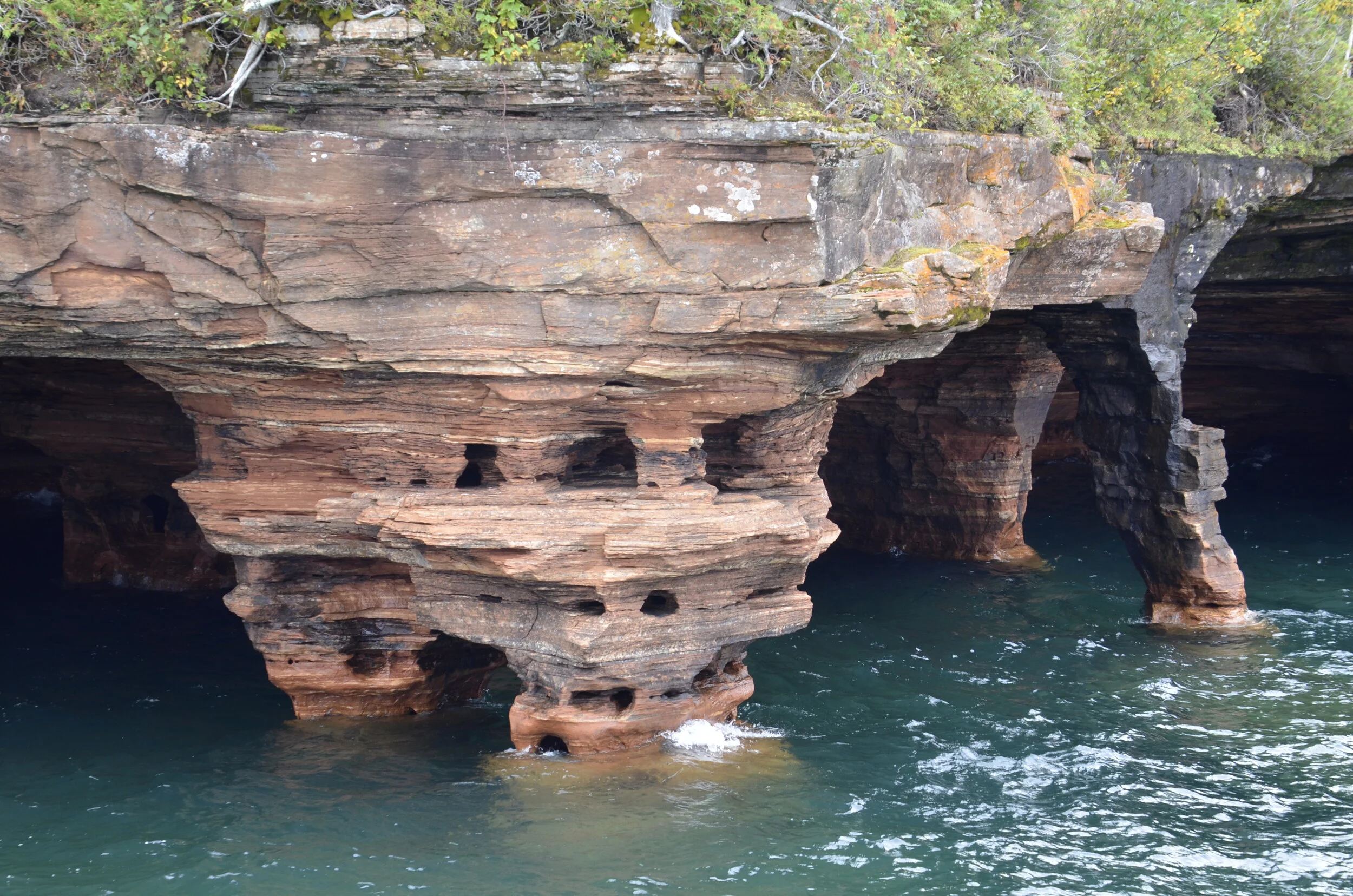
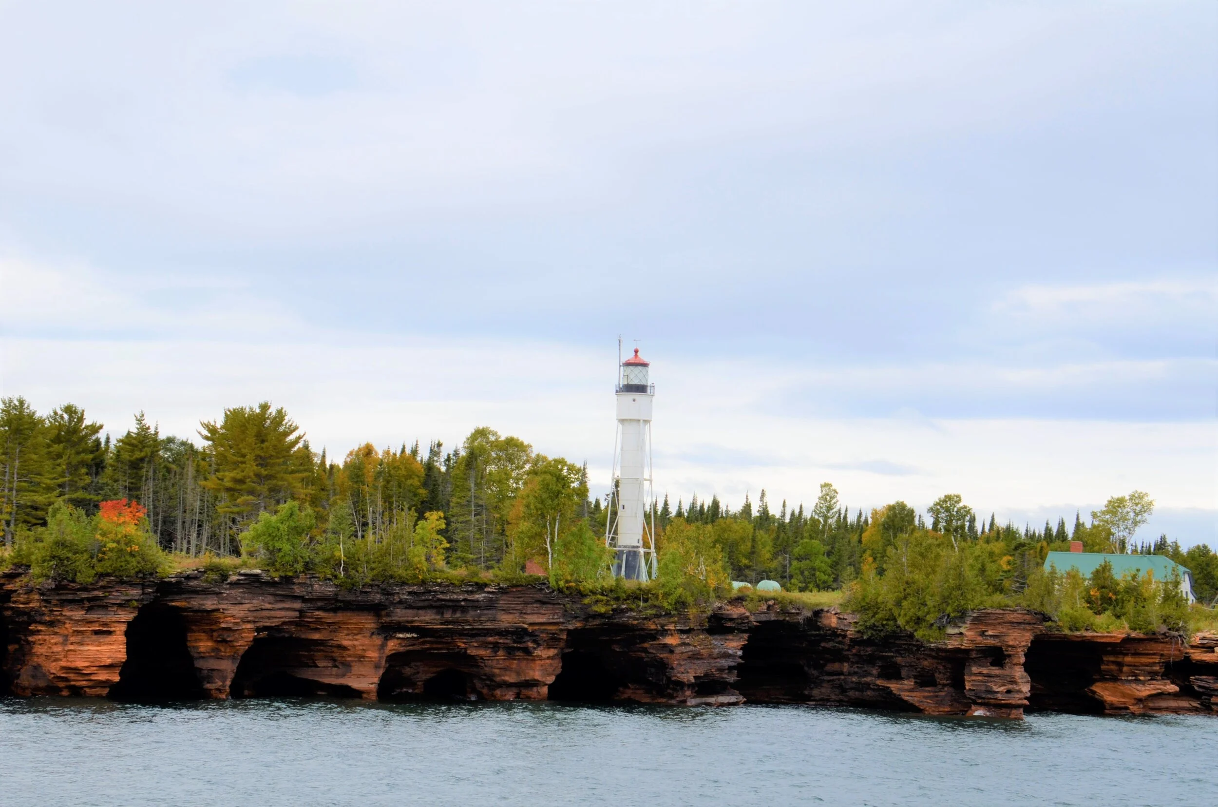
We did make it out to the northernmost island, Devil’s Island, which has the beautiful sea caves, and erosion caused by millennia of crashing waves and wind.

_DSC5204.JPG
_DSC5206.JPG

I just can’t imagine being a lighthouse keeper out here.

_DSC5240.JPG

As we came back to town, the sun came out…

_DSC5267.JPG

…lighting up the hillsides:

_DSC5275.JPG

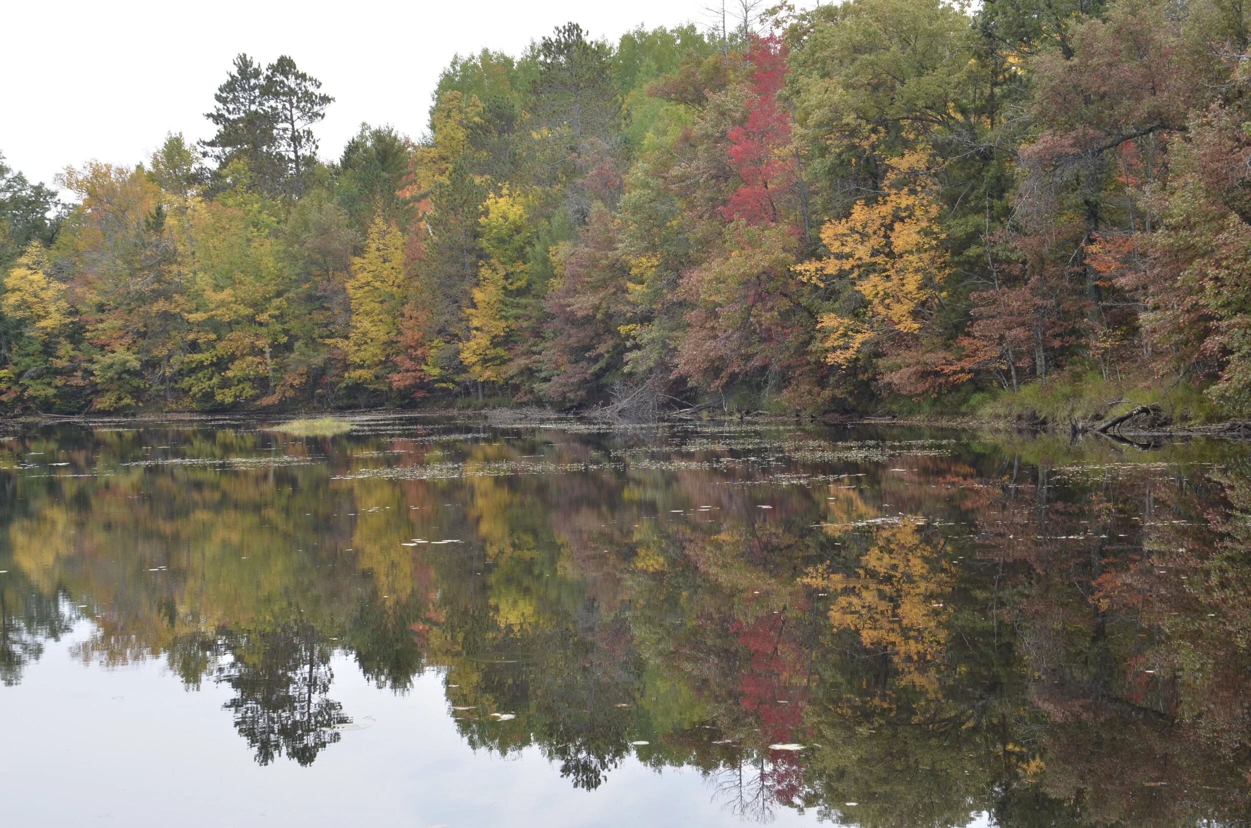
I’ll close with my favorite picture, back from the lakes region -

_DSC5110.JPG

Rocky Mountain National Park

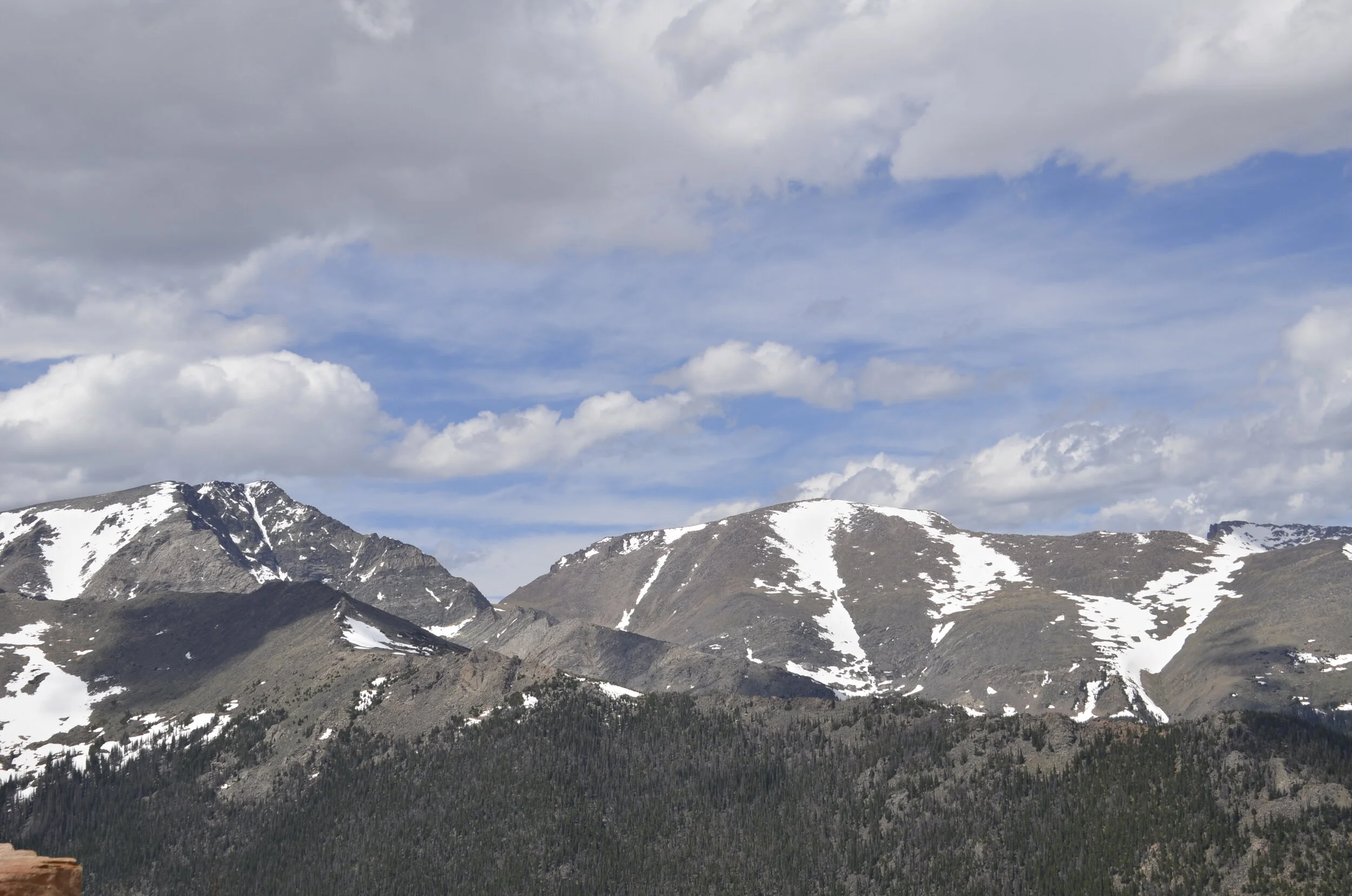
Despite (or maybe because of) travel restrictions of the past few months, we were SO glad to be getting on a plane and heading to Colorado to join up with friends for a 4 day get away. We mainly stayed in Boulder, and made day trips out to hike and explore. Our main trip was to Rocky Mountain Nat’l Park, just an hour away. Timed entry tickets are the new norm now, but traffic wasn’t too slow due to this. We were just happy to be in the cool dry air and seeing the gorgeous mountains and pines.

_DSC1655.JPG

Having the peaks be snow capped in early June made it even more special.

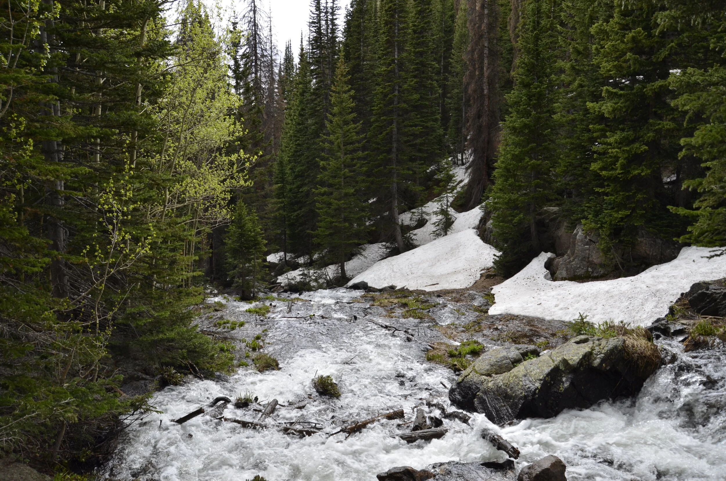
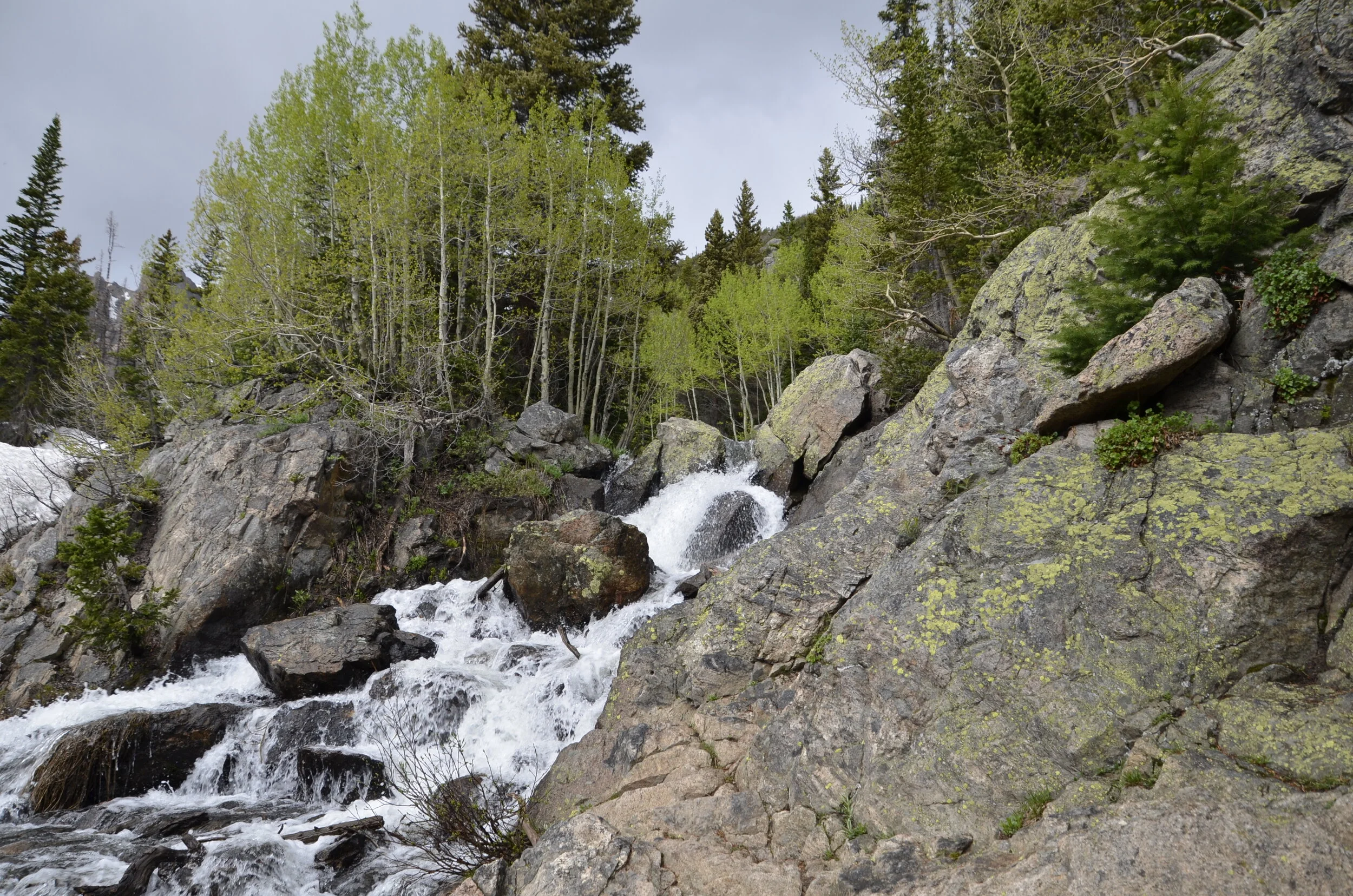
Our first order of business was hiking. When we left Boulder, it was predicted to be 80 and sunny, but we were prepared by dressing in layers, and having rain jackets,. As we started the hike, we crossed a full flowing stream of snow melt.

_DSC1513.JPG

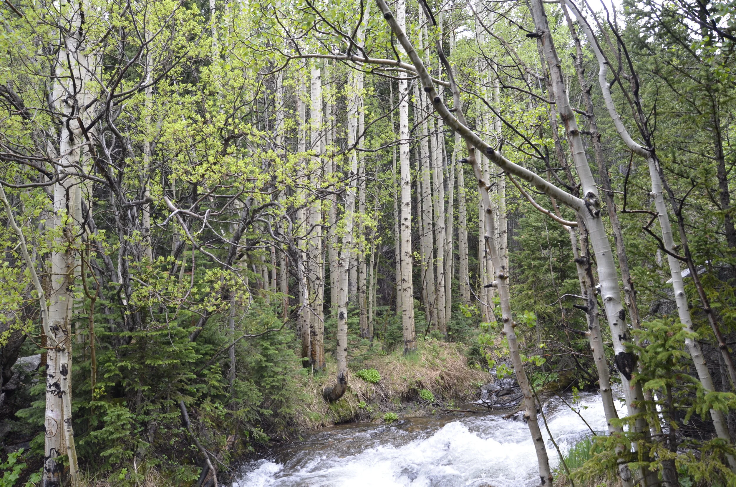
The aspens had just recently leafed out, and it was a neat contrast to see them in their spring green, compared to the beautiful fall yellows we had seen last year.

_DSC1514.JPG

The first lake we reached, Nymph Lake, was underwhelming, but it was probably due to the low hanging clouds and rain starting.

_DSC1517.JPG

I was surprised by the number of mosquitoes at 8,000 ft and temps barely in the 60’s.

We pressed on, as the rain was only light and intermittent.

_DSC1518.JPG

However… (you knew there was a ‘however’ didn’t you?) as we continued climbing, the clouds kept gathering. Before we reached the second of the three lakes’ destination, we were starting to hike through snow, then the HAIL started!

This video was courtesy of our friend Rick (I didn’t want to get out my Nikon). Luckily, we had just stopped for a water break in a small group of trees off the main path, as the hail started. This mostly saved us from being pelted by the marble sized hail. What ones did hit us stung quite a bit!

As the hail slowed down, and became a steady rain, we were watching younger people ahead of us on the trail slipping and falling frequently on the snow packed route. We wisely decided that we’d seen enough for one hike and headed back down. The top of the ridge never cleared, so we were glad of our decision, but as we descended the rain finally quit.

_DSC1522.JPG

Our friends headed back to Boulder, but Steve and I went driving on through the park on Trail Ridge Road. The highest point on the road was over 12,000 ft. but we had to turn back before reaching that, as we had thought we didn’t need to fill up the gas tank before we entered the park (what a novice mistake!). I have found that until I get acclimated to altitude over several days, I have an altimeter in my head that starts giving me a headache starting about 10,000 ft. - so I wasn’t so sorry about having to turn back a little early. ;)

As we started on the road:

_DSC1529.JPG

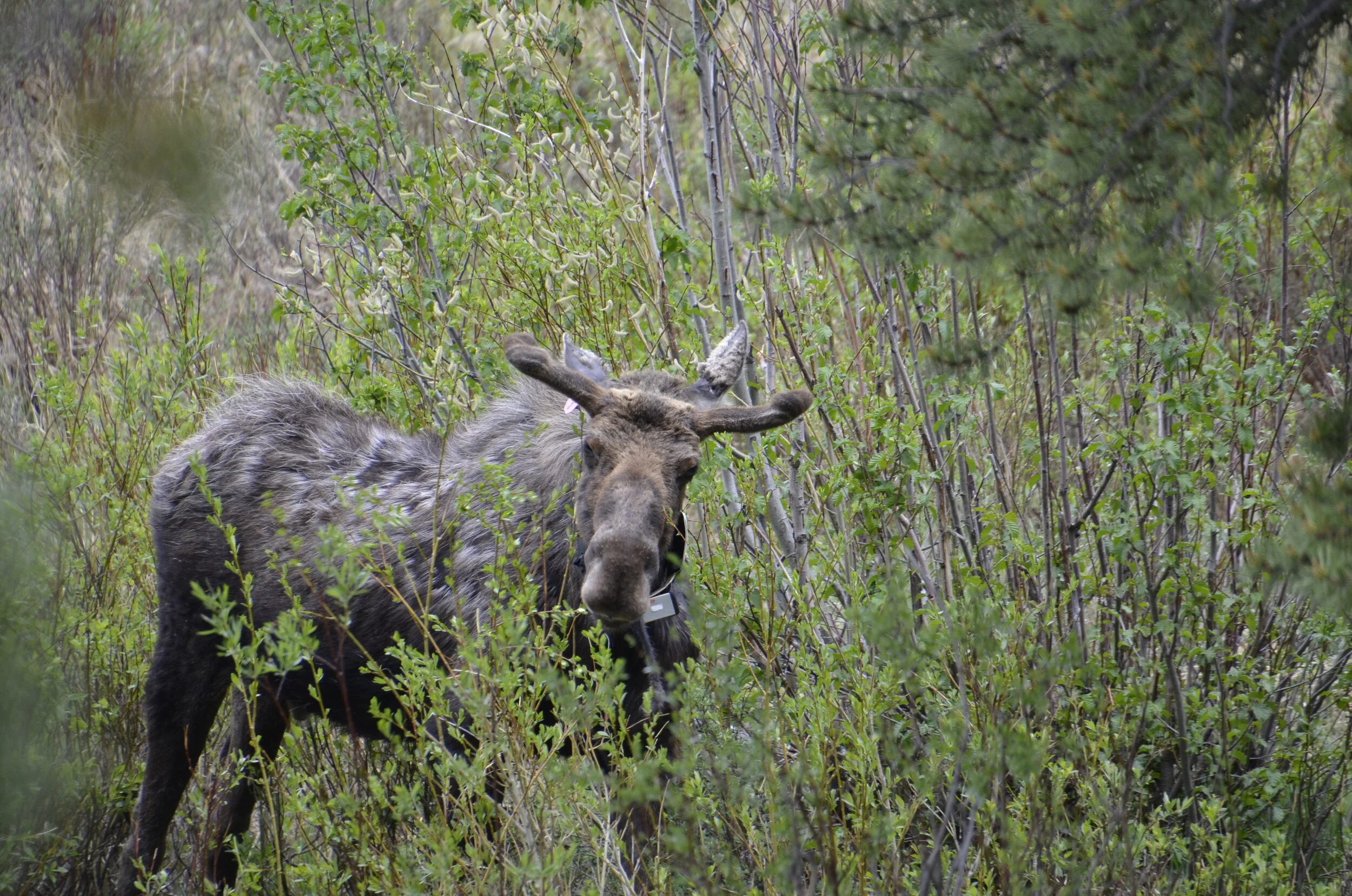
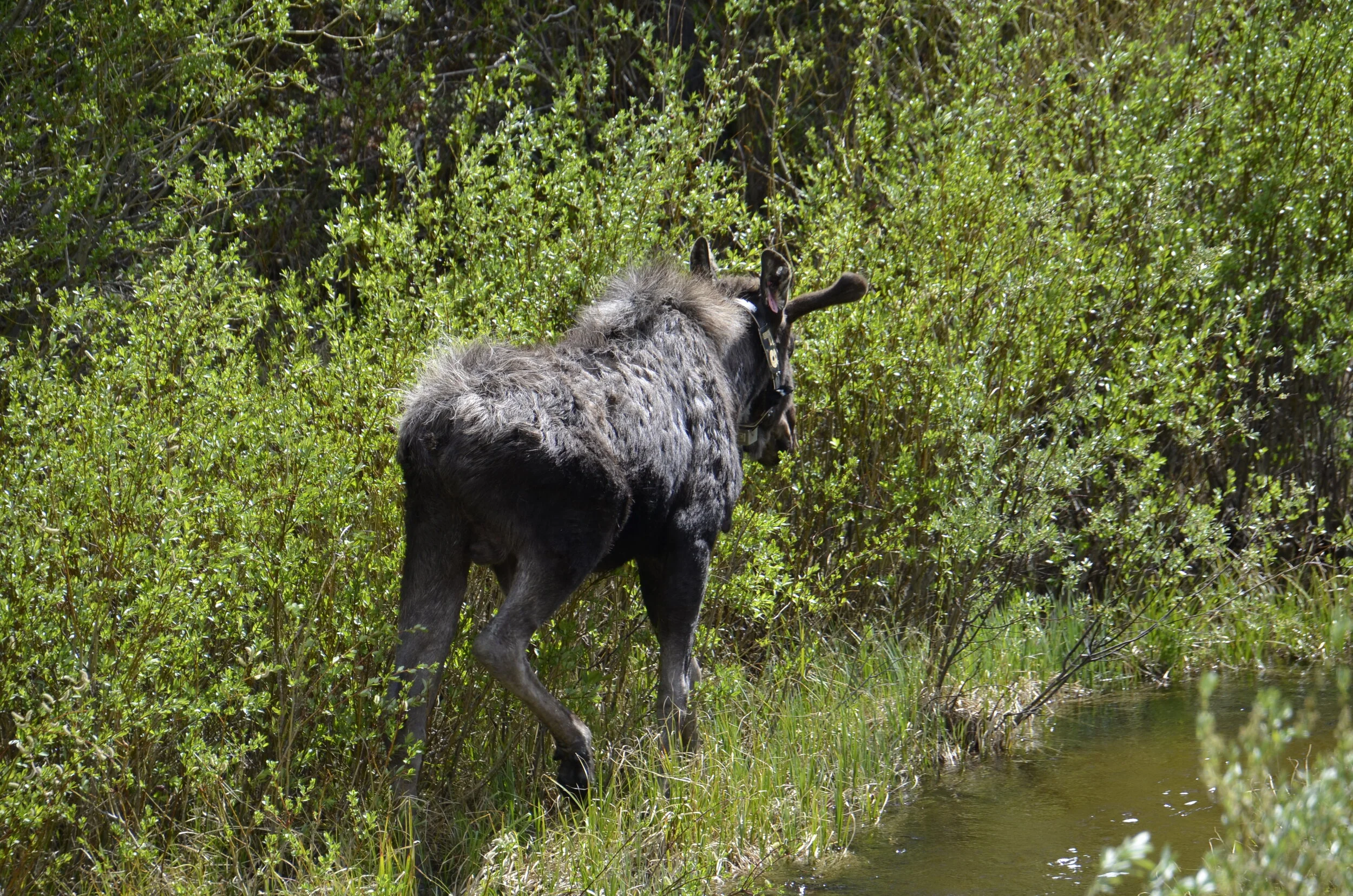
We then came upon a bunch of vehicles pulled off the side of the road, so we knew there was some kind of wildlife spotting going on. I was thrilled to find it was a young male moose! (only the second moose I’ve ever seen, and the first male)

_DSC1563.JPG

He had both a tracking collar and ear tag. As you may be able to tell, his antlers are small and covered in velvet.

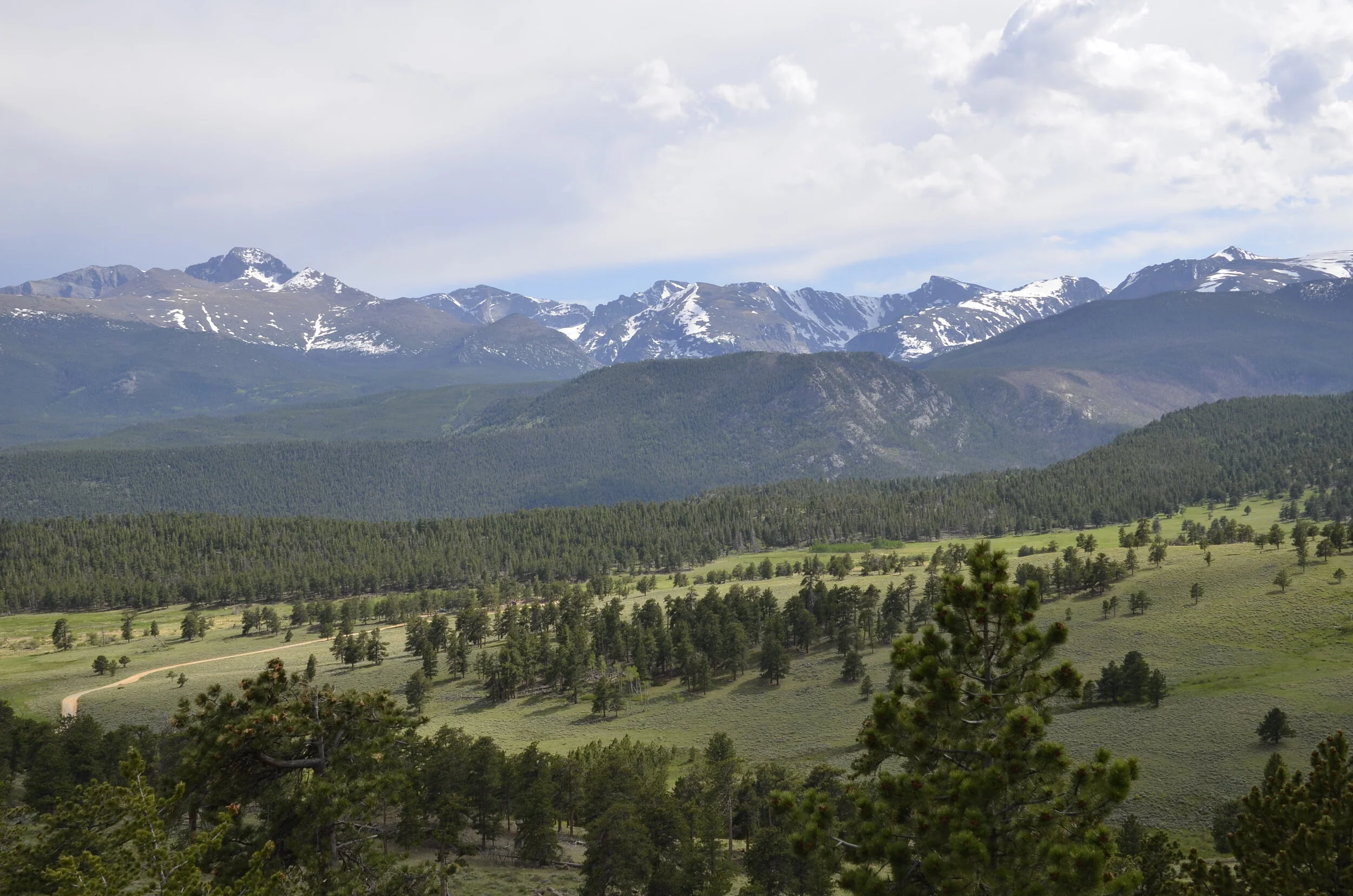
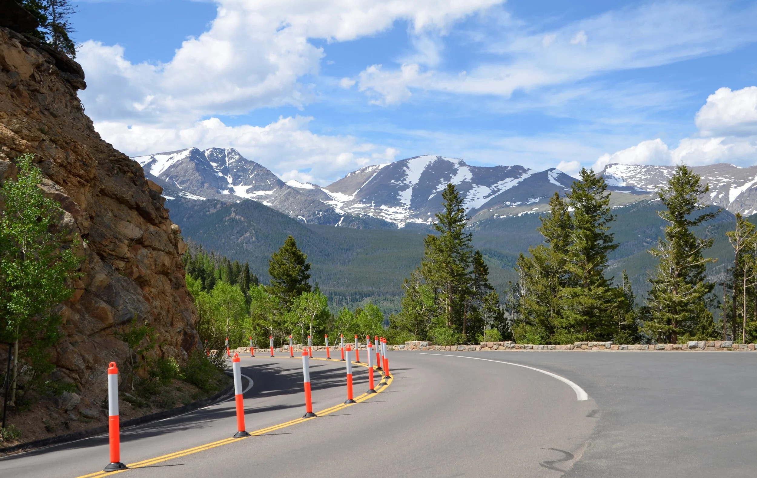
As we climbed up the road, we were treated to some great vistas -

_DSC1571.JPG

For awhile, the skies appeared to be clearing -

_DSC1573.JPG

…but as we got above tree line -

_DSC1580.JPG

…the clouds were really lowering -

_DSC1583.JPG

…so we happily headed back down to partly cloudy skies

_DSC1587.JPG
_DSC1589.JPG

Again, as we passed through the low lying area where we had previously seen the moose, there were more vehicles pulled off to the sides of the road, so of course I went to investigate. This time it was 2 male elk with velvet-ed antlers grazing.

_DSC1605.JPG
_DSC1627.JPG

The young moose was still there, and I got more close up pictures, as well as a good look at the dewlap under his chin. I just looked it up, and scientists aren’t sure what it’s used for (but like a lot of things on males, it probably has some purpose in impressing the ladies).

_DSC1645.JPG

So now I’ve added to my collection of animal butts, both the elk and moose.

_DSC1649.JPG

Like our friend there, I’ll say goodbye for now, and hope to post soon from Alaska!

There and Back Again

The title of this post is the “secondary” title of The Hobbit by J.R.R. Tolkein. Steve thought it would be appropriate for this series of home bound travels of re-visiting.

Our first trip through Peru opened the birding world to me. I’ve tried very hard not to bore those of you who might not be avian-centric, by severely limiting my depictions of my feathered friends. Since being at home for so long now, I’ve turned my binoculars and camera to the woods surrounding our house. It’s been very interesting to note that the Barred Owl is active during the day. They have a very loud hoot, as well as totally silent wings. We had seen one before on a hike in a park outside of Nashville, and I’m thrilled that there is a pair on our property.

_DSC1503 crop.jpg

Contrast this with birds we’ve seen on our travels:

Tanzania

Tanzania

Galapagos

Galapagos

Now back to the slideshow:

northern Chile

northern Chile

southern Oregon

southern Oregon

Sydney Opera House

Sydney Opera House

Colorado

Colorado

Machu Picchu, Peru

Machu Picchu, Peru

Death Valley, CA

Death Valley, CA

Some selfies and photos taken of us, including our very first selfie EVER, in Lima, Peru in 2017 -

Lima selfie.jpg
on top of the volcano on Guadeloupe

on top of the volcano on Guadeloupe

canyoneering on Vanuatu (look closely to see the mud face paint we were given to “protect” us)

canyoneering on Vanuatu (look closely to see the mud face paint we were given to “protect” us)

Yellowstone

Yellowstone

Dominica

Dominica

Point Reyes, CA

Point Reyes, CA

our first (and only, to date) moose sighting; Colorado

our first (and only, to date) moose sighting; Colorado

Ica, Peru

Ica, Peru

Washington, DC

Washington, DC

Wyoming

Wyoming

Grand Canyon

Grand Canyon

Tuscany, Italy

Tuscany, Italy

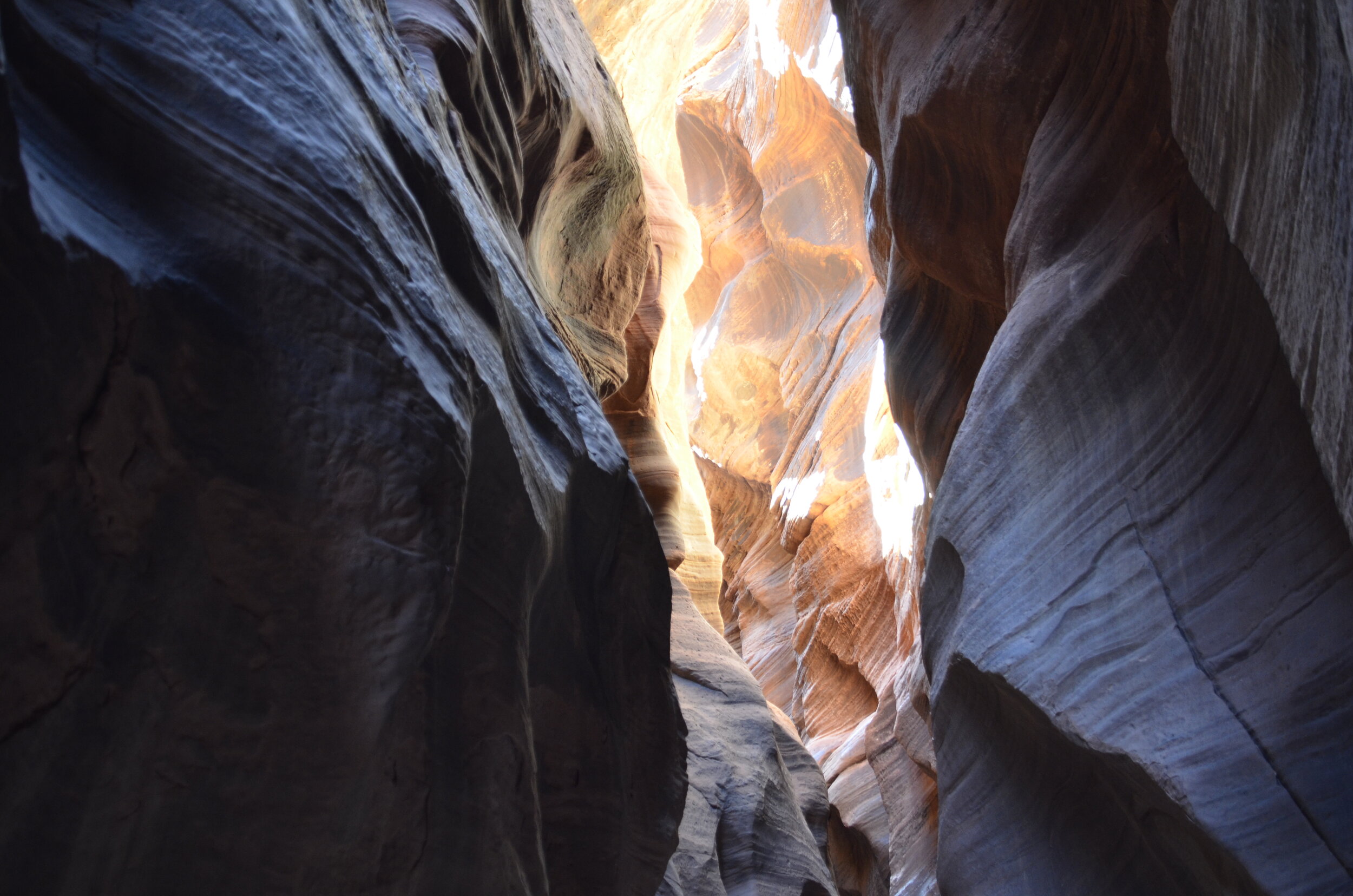
Buckskin Gulch, southern Utah

Buckskin Gulch, southern Utah

Albuquerque Balloon Festival

Albuquerque Balloon Festival

Before I finish with my requisite sunset pictures, I wanted to share a glimpse of what “we” have been doing while home. Steve has done all the heavy lifting, while I direct.

_DSC1506.JPG

Luckily, we had planned on planting a new asparagus bed this spring, causing us to be home in March, rather than touring the big wide world and potentially have difficulty getting back, once everything started shutting down.

northern Peru

northern Peru

Zion National Park, Utah

Zion National Park, Utah

You know we’ll be out on the road just as soon as possible! Until then, enjoy this video that I don’t think I shared before, showing just how close we were to these beautiful creatures and enjoy their singing (that’s Steve and I at the end):

Traveling from Home

As I have been doing my yoga stretches nearly daily (helping the aging/aching back to stay supple), I’ve been seeing a slideshow of random pictures from our various trips to date, and thought you might want to revisit some, like I have. No? Well… tough.

I’ve pondered various ways to do this, from running chronologically starting with our first trip to Peru nearly 3 years ago (has it really been that long/short?); grouping photos in different ways, rather than by country or timeline (rooms we’ve stayed in, sunsets/sunrises); or just random, as I’ve been experiencing them on the screensaver slideshow. The latter option won. I also wondered if I should just post a whole series of pictures without any writing, or include at least a location, so if you want to revisit a post in the Archives tab, you could know where to start hunting. Here goes…

starting with sunrise in the Galapagos

starting with sunrise in the Galapagos

Sydney harbor

Sydney harbor

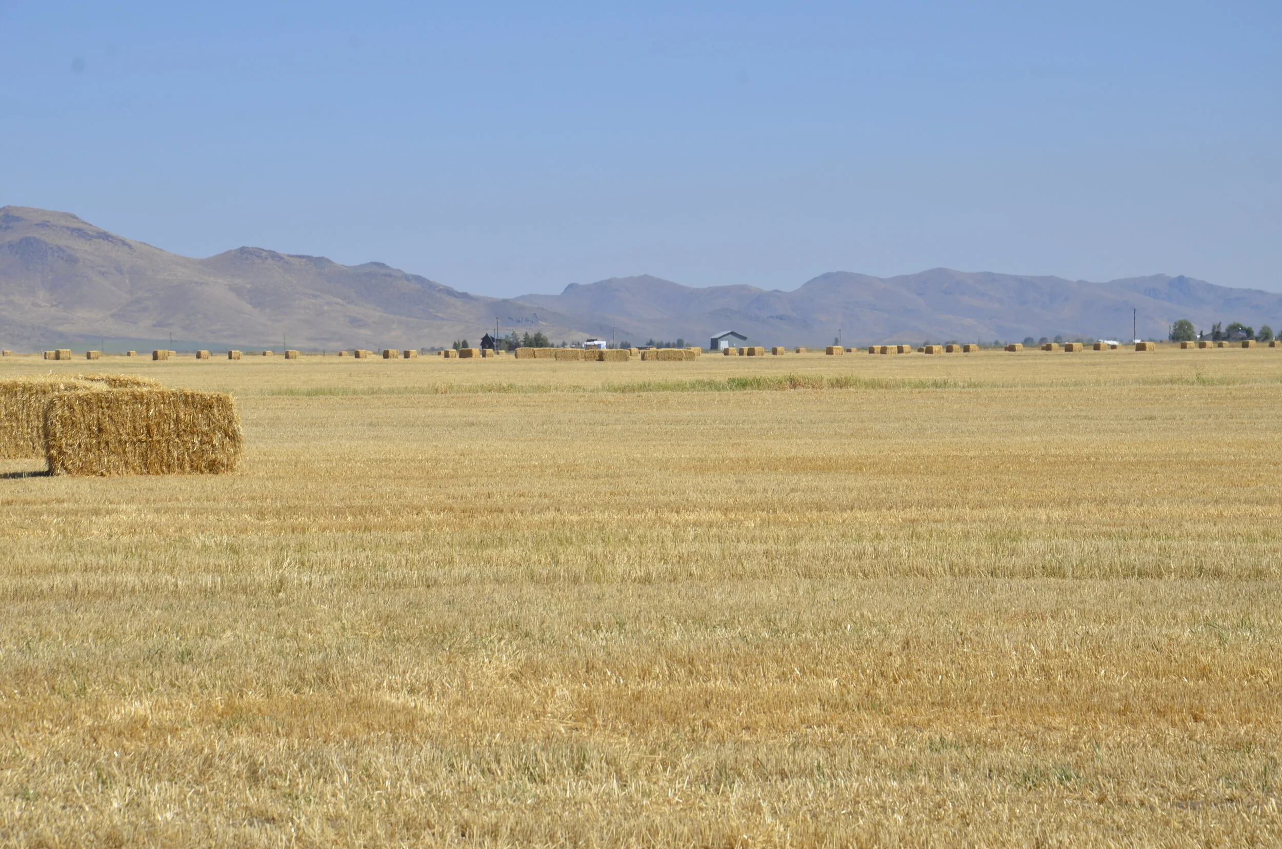
eastern Idaho

eastern Idaho

on the Salkantay trek in Peru

on the Salkantay trek in Peru

Some places we’ve stayed:

IMG_20171024_135748.jpg
our most rustic, in northern Peru

our most rustic, in northern Peru

St. Lucia

St. Lucia

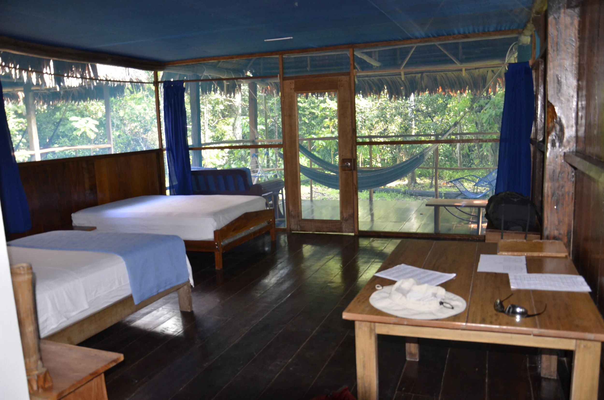
rainforest lodge on the Amazon

rainforest lodge on the Amazon

Tanzania

Tanzania

Tanna island, Vanuatu

Tanna island, Vanuatu

Galapagos

Galapagos

Oregon coast

Oregon coast

Siena, Italy

Siena, Italy

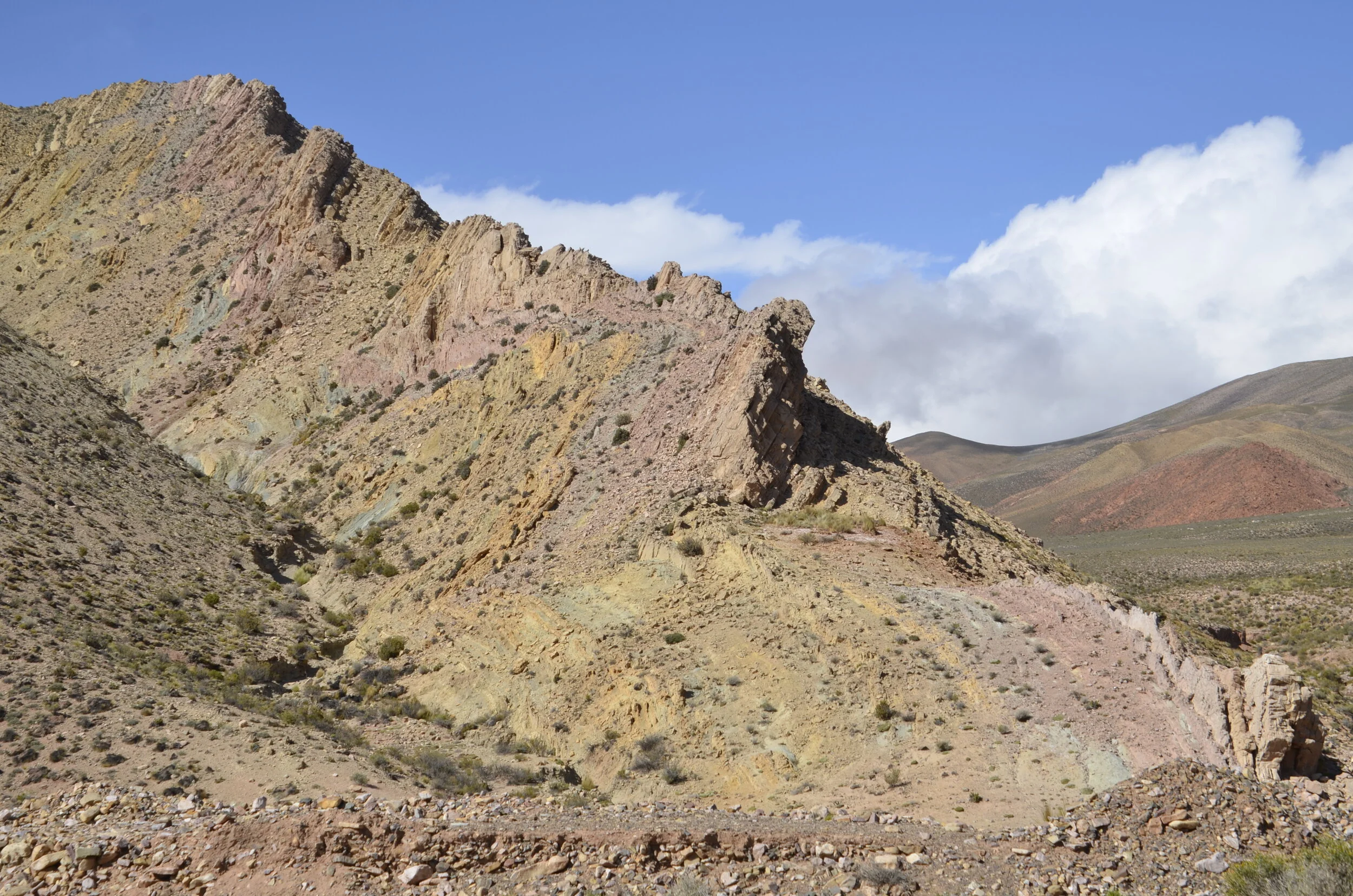
northern Argentina

northern Argentina

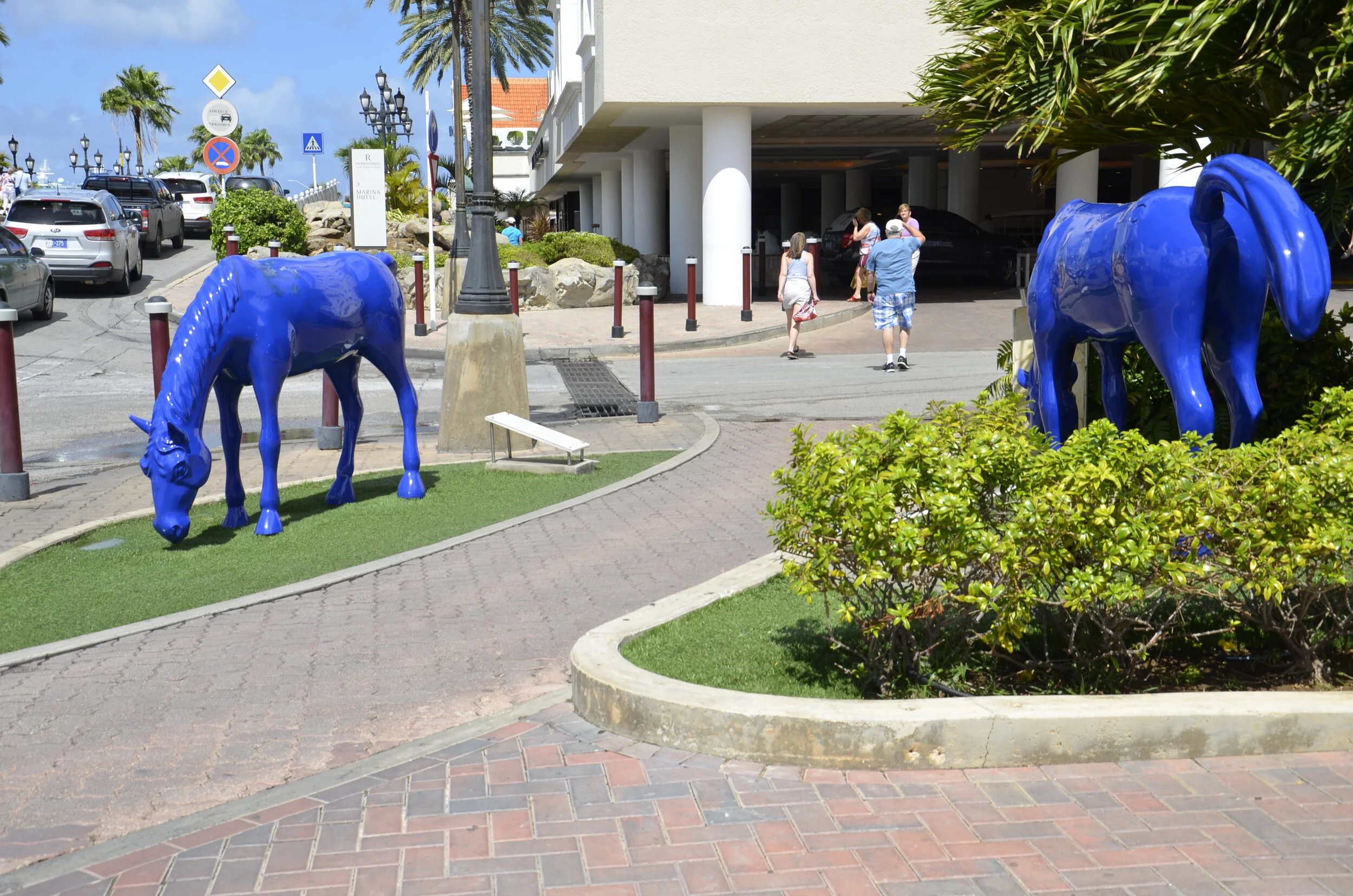
Aruba

Aruba

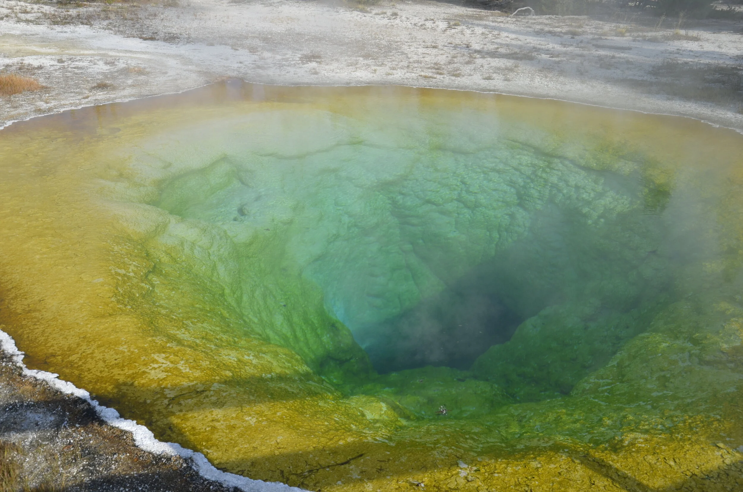
Yellowstone

Yellowstone

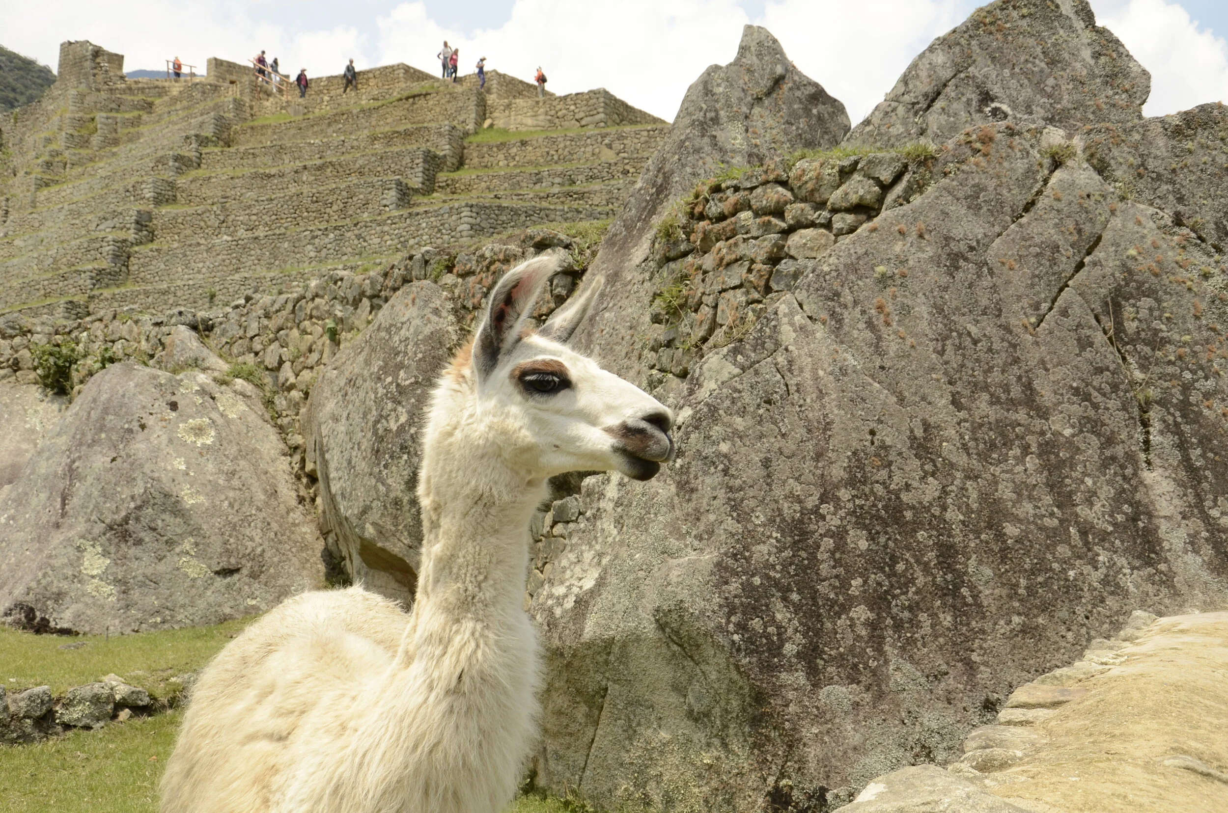
a different perspective of Machu Picchu, Peru

a different perspective of Machu Picchu, Peru

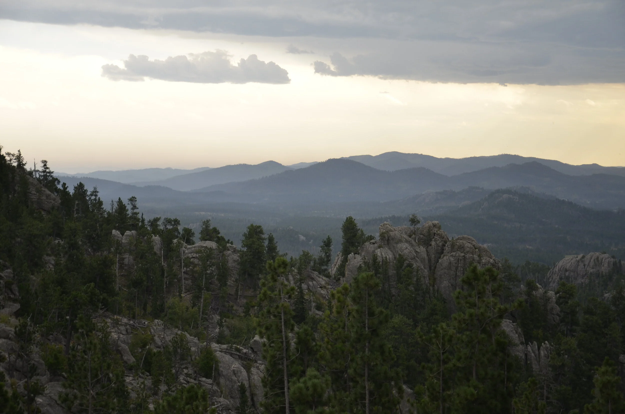
this is South Dakota?

this is South Dakota?

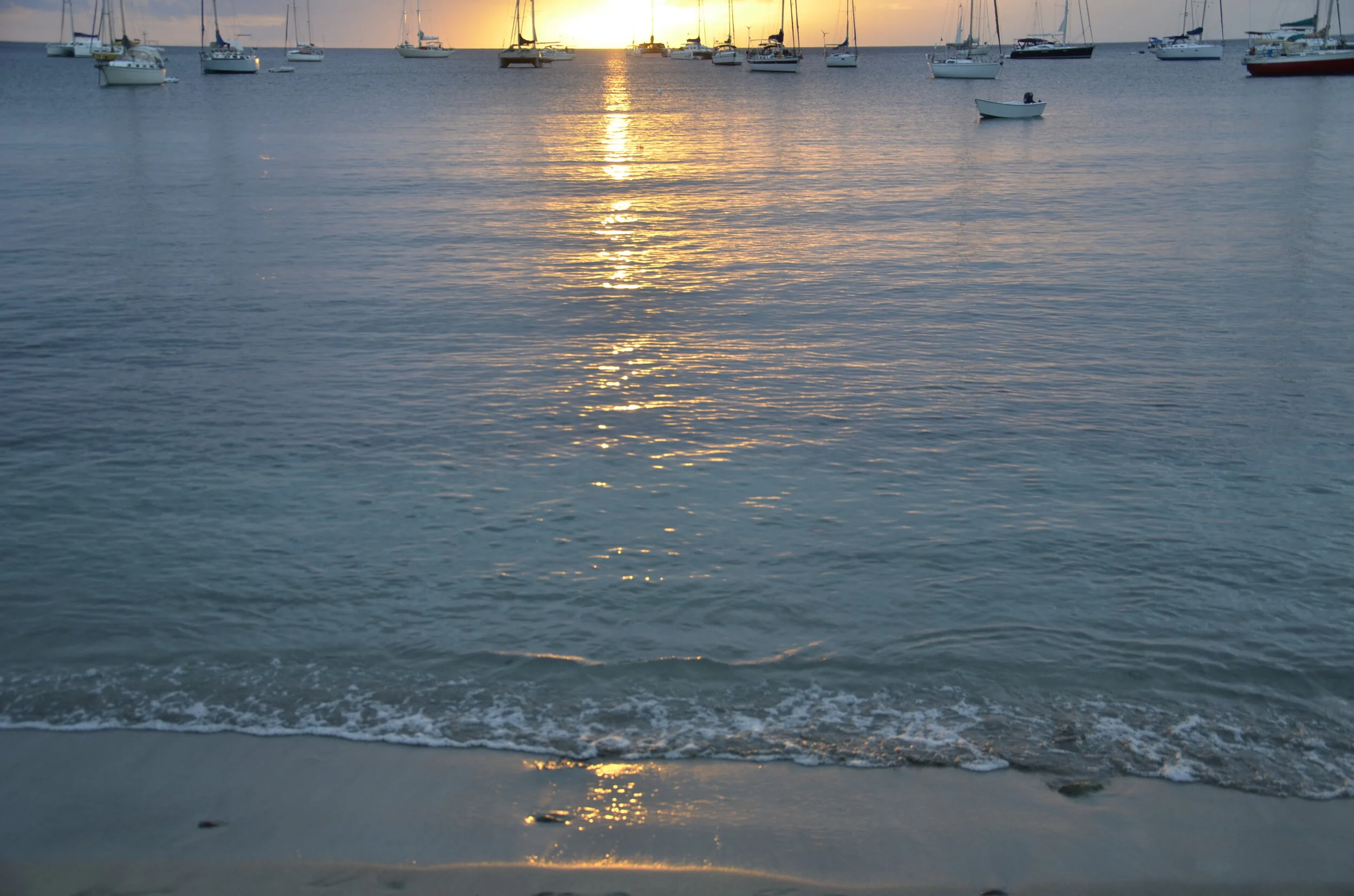
_DSC9135 Martinique.JPG

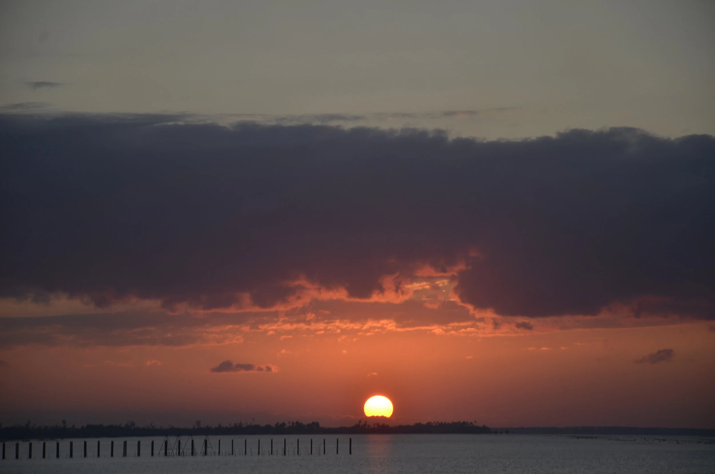
I pulled a number of sunset pictures, but rather than put them all together, I thought I’d sprinkle in a few here. The one above is from Martinique. Below is Yosemite:

IMG_20191004_190542.jpg
Valley of the Gods, Utah

Valley of the Gods, Utah

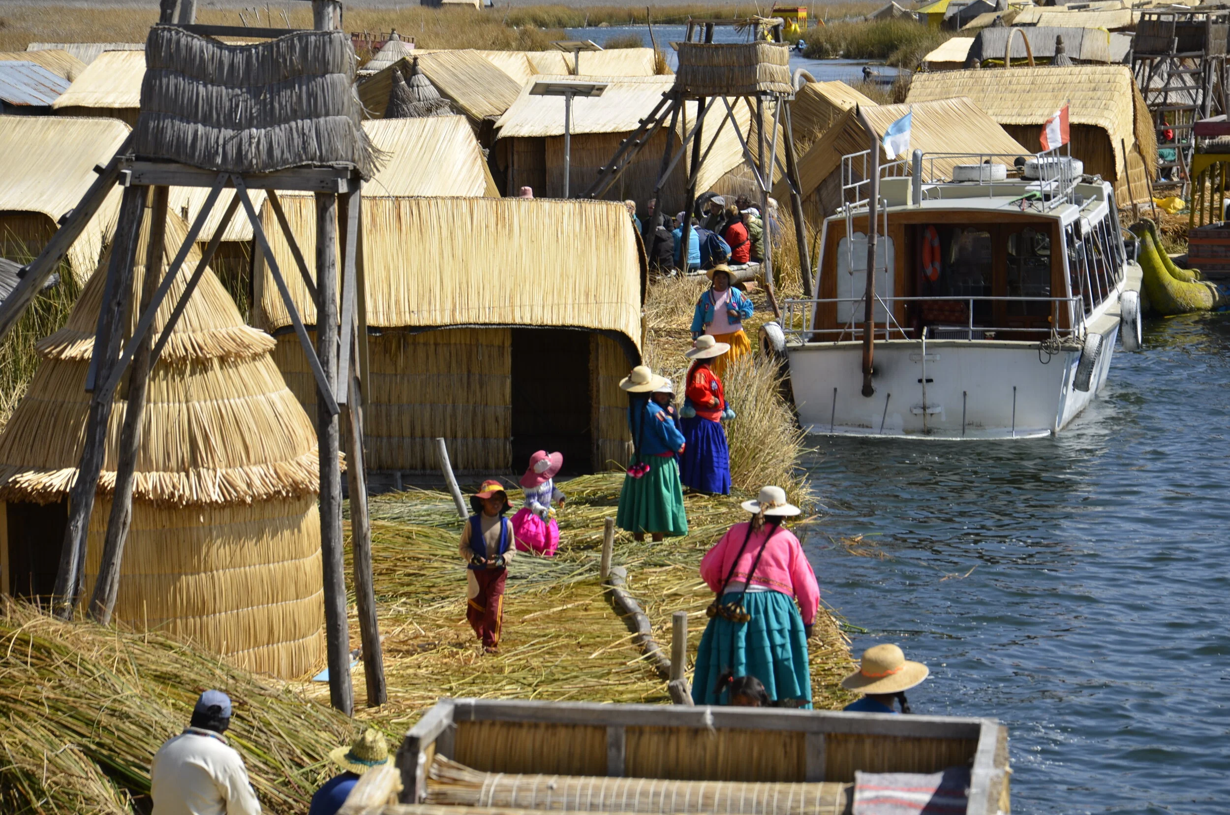
Lake Titcaca, Peru

Lake Titcaca, Peru

I plan to put another one of these posts up next week, to try to break up some of the tedium of this world wide shutdown.

Tonga

Tonga

Tanzania

Tanzania