Santiago, Chile to Mendoza, Argentina
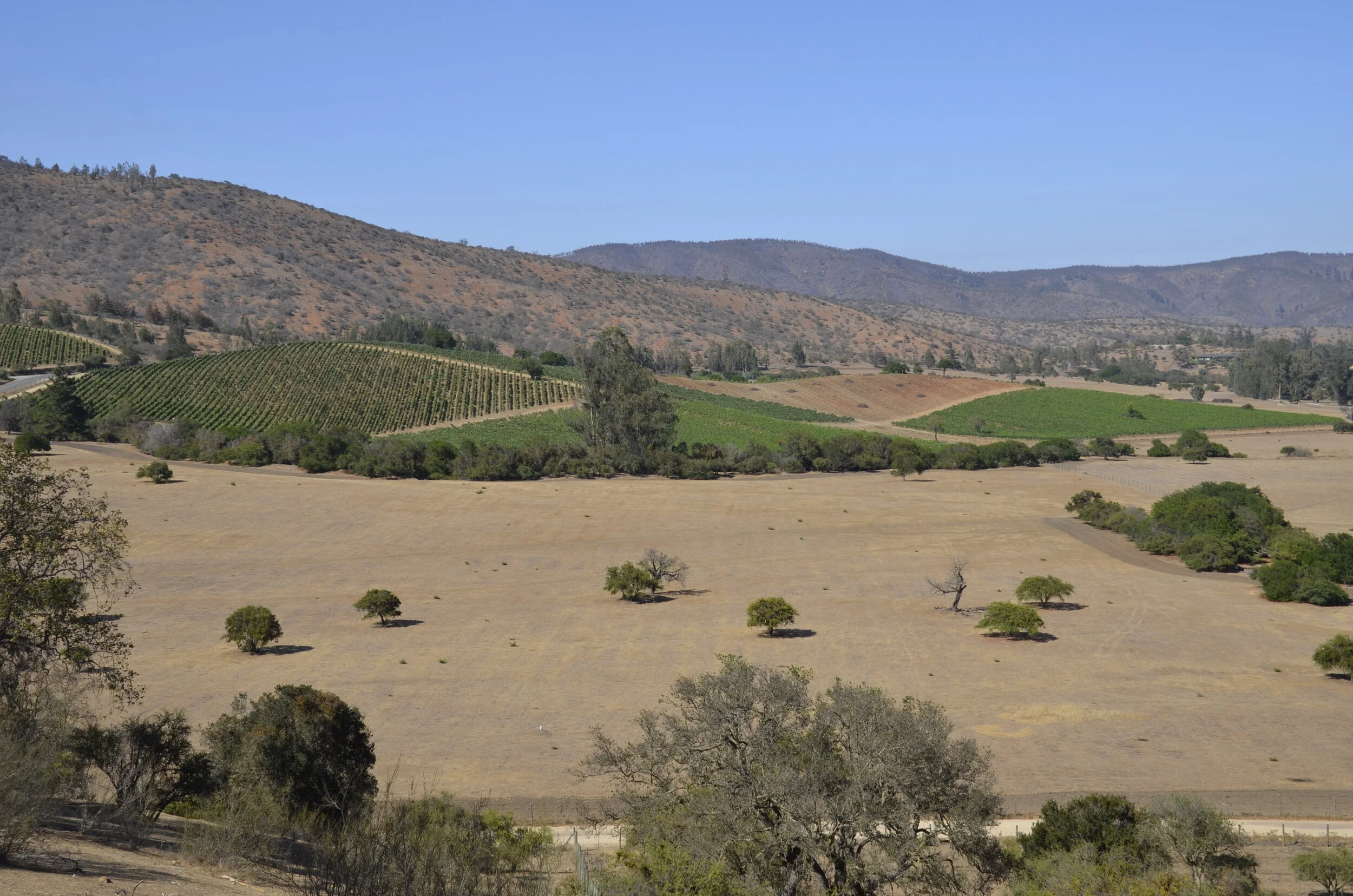
We toured several wineries around the Santiago area, before driving up and over the Andes into Argentina. The Casablanca Valley was more arid…
…while the area around Concha y Toro in the Maipo Valley was more lush (read irrigated, as both valleys are naturally deserts) -
I didn’t take many pictures through here, as we were mainly enjoying the wines and extensive lunches we had.
Our drive to Mendoza climbed into the mountains relatively quickly -
…and it was cool that they numbered the hairpin curves (the last was 29)
You may want to enlarge the picture below to see the details better. Note the semi-trucks in the left lower corner. The orange rectangles are like tunnels that shield the road from landslides.
At the top of the pass, at 9,450 ft, was Inca Lake:
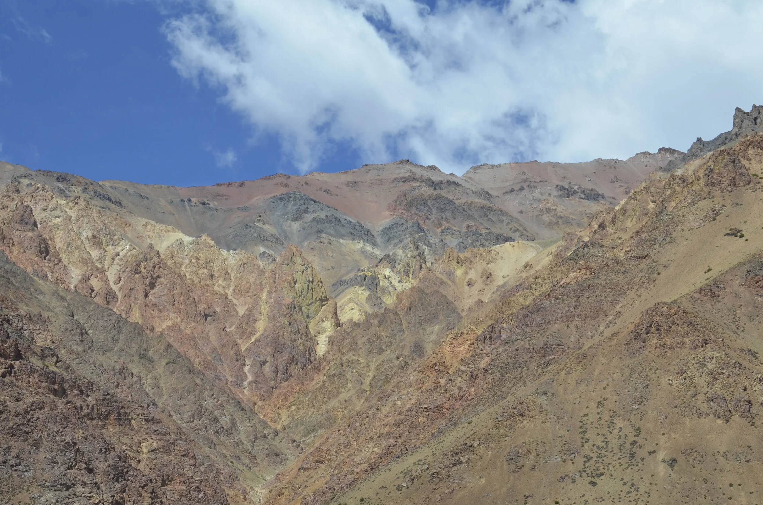
Coming down the Argentinian side, colors in the hills starting coming out -
We also saw a very small glacier (but no snow), and neat veining in the rock -
I guess I have a thing for colored rocks -
Mount Aconcagua (22,837 ft) is the highest peak in the Southern and Western hemispheres (so, outside of Asia). I bet you can figure it’s the one in the back with the snow on it.
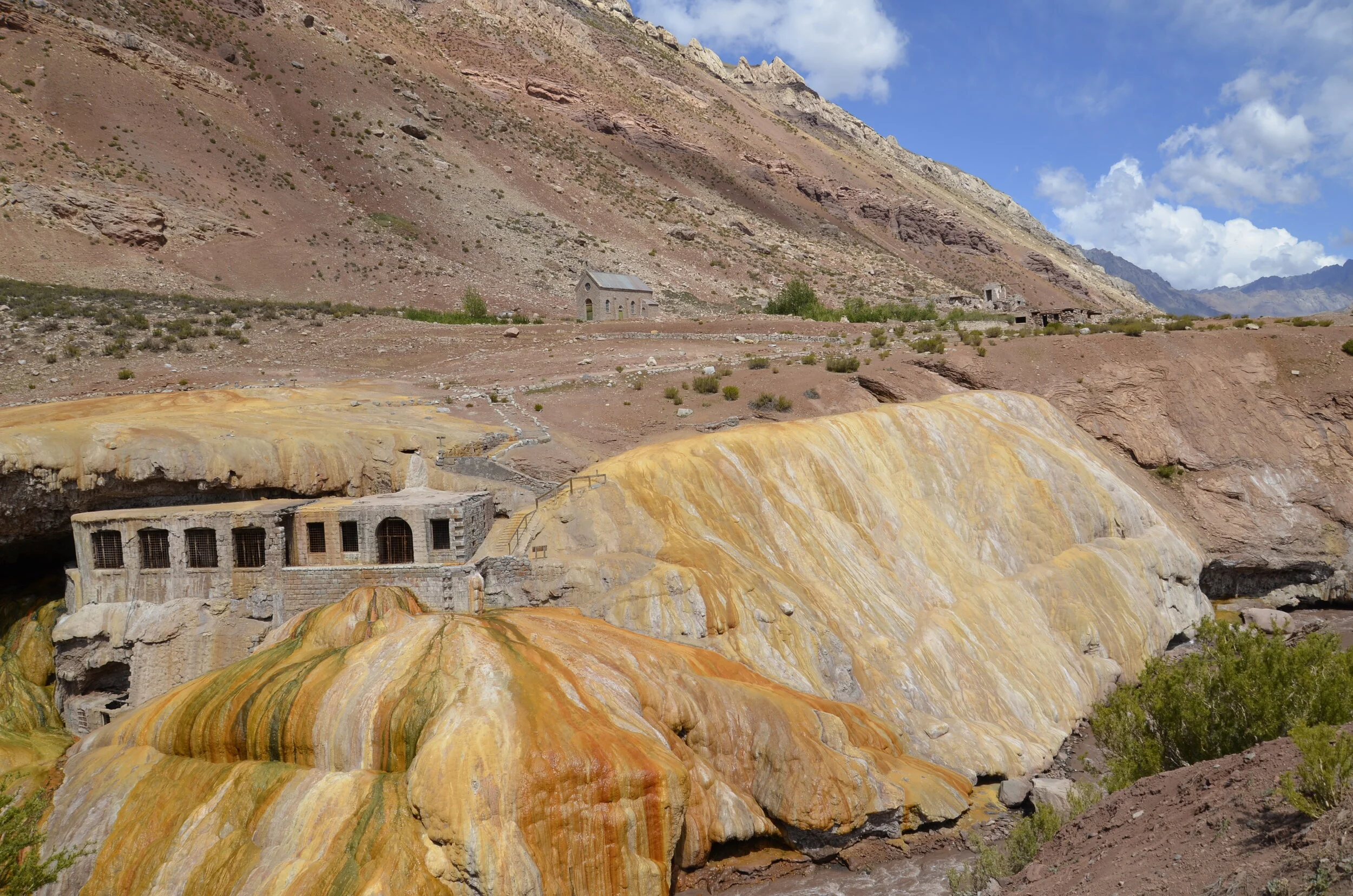
As we descended, the sky cleared, so we could appreciate the vivid colors of the Inca Bridge.
The bridge formation is on the left in the picture above. The travertine flows are formed by minerals leaching out of the hot springs. The buildings were part of a resort and spa built in the early 1900’s. The colors were the most brilliant where the water is still running over -
Did you notice that the river at the bottom of that picture was brown? It was a running joke that all the rivers in Argentina are brown. The only clear ones we saw were high in the mountains when we were hiking.
Further down the valley… guess what? Yep, more colored rocks.
Here you can see where the brown river water meets the lake:
The next day after arriving in Mendoza, we went hiking up Mt. Arenales, with a guide and our friends. It was a pretty bleak trail. We climbed very slowly because we started at over 9,000 ft and reached the summit at 11, 300 ft. Along the way, we met some friends…
…and we decided that the views justified the hike.
You know by now that besides pretty colored rocks, I have a thing for “ends”.


