Iguazu Falls

Since we were in Argentina… we decided to add on a side trip at the end of our wine tasting with our friends, to see “the largest waterfall in the world”. Upon seeing it, Eleanor Roosevelt reportedly exclaimed, “poor Niagra”.

_DSC1343.JPG

This is just a part of the falls. When you turn to your right, you also see:

_DSC1367.JPG

These falls are in the extreme NE corner of Argentina, at the juncture with Paraguay and Brazil.

wtg-map-argentina-600px.jpg

On the map you can see where we started this trip, in Salta, as well as noting where Mendoza and Buenos Aires are in relation to the rest of the country.

The number of waterfalls varies from 150-300, depending on water flow.

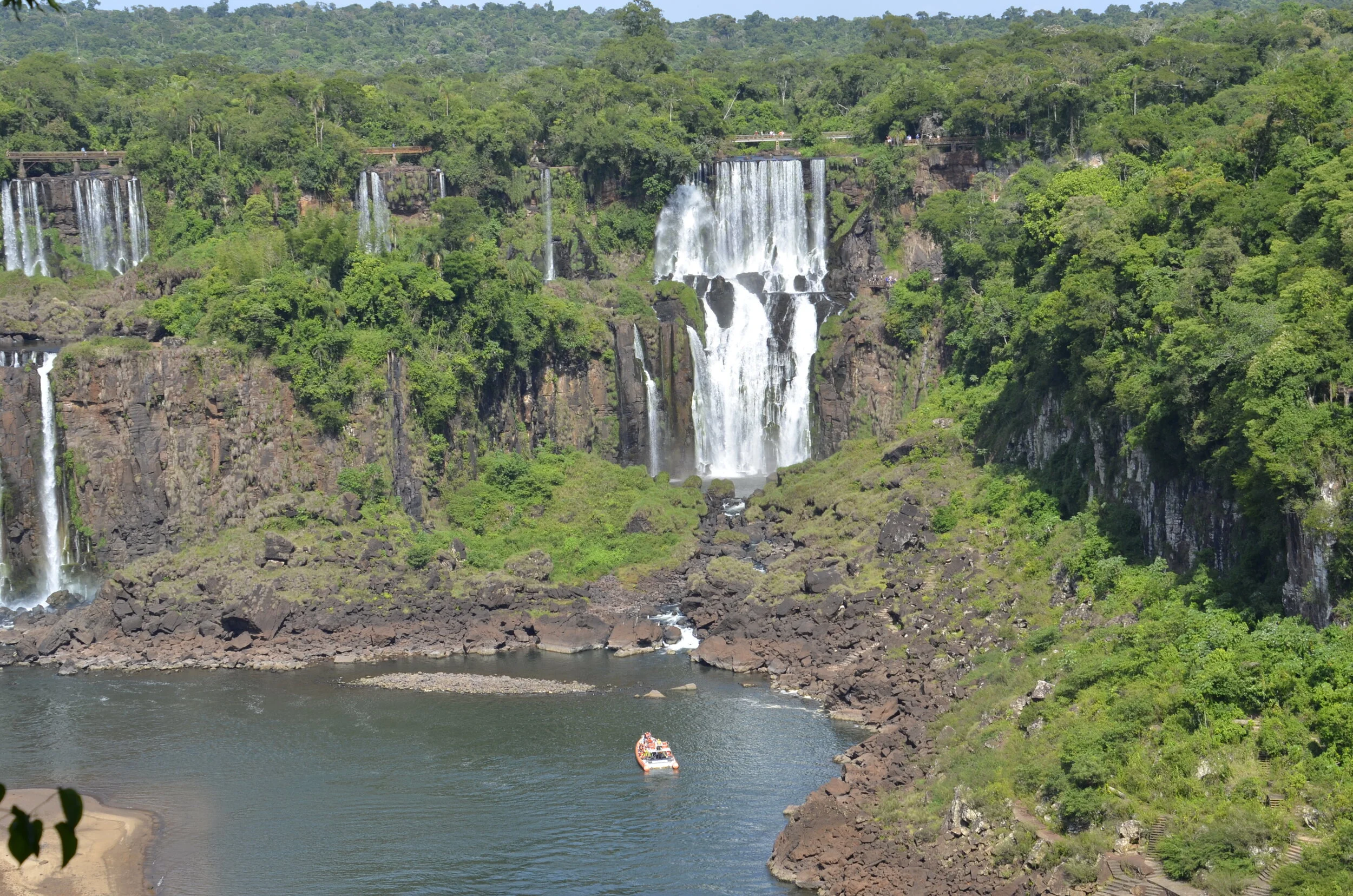
_DSC1407.JPG

Since we were visiting during their summer, the water levels are much lower, than say in Aug., during spring flooding. The bare rock and wispy falls you see in the picture above, would be completely covered in white. Even so, standing next to the rushing water lets you appreciate their power and beauty.

_DSC1280.JPG

Ok… I’ll go chronologically now, as it helps me tell the story better. I just wanted to give you a taste of the falls, to see why we wanted to visit them.

The afternoon we arrived, we got settled into our hotel, and this was the view from our room!

_DSC1192.JPG

You can better appreciate the extent of the falls from this view, as well as see the hotel on the Brazil side, on the left side of the picture. We were staying in the only hotel within the National Park on the Argentine side.

The beginning of the falls is called the Devil’s Throat, and about half of the river’s flow falls down this narrow, 250 ft drop.

Devil’s Throat, from the top

Devil’s Throat, from the top

The spray was so heavy on the walkway there, that I couldn’t get any pictures, for fear that my camera would be drenched (as we were). Steve, however,used his phone to get some neat shots…

IMG_20200223_085634.jpg
(panorama)

(panorama)

… as well as a video:

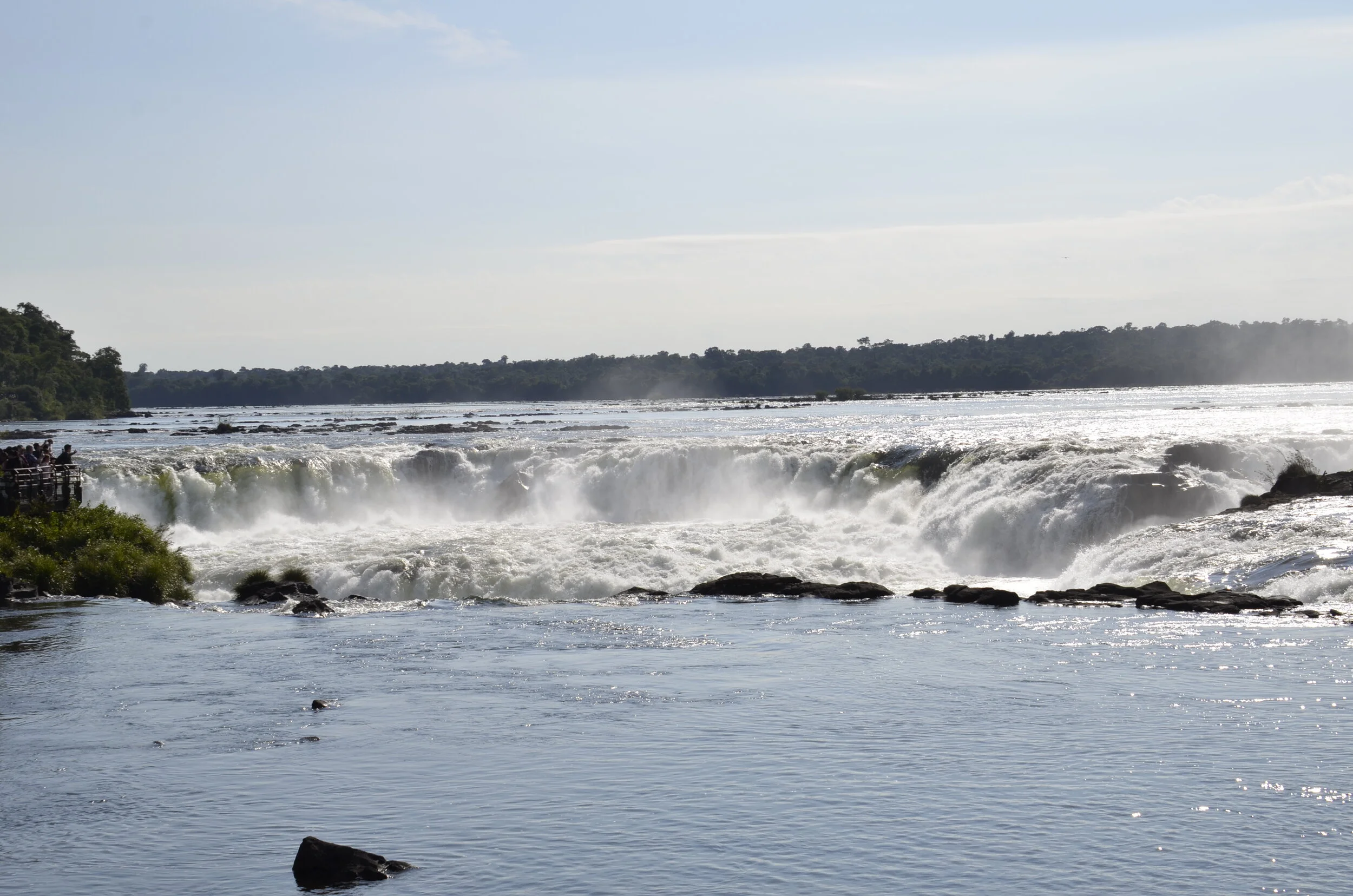
This is the view of the Devil’s Throat, looking upriver -

_DSC1344.JPG

In the far upper right of the picture above, you might be able to make out the walkway through the mist, where Steve’s pictures were shot. The Argentine side has many km of walking paths to get different views of the falls, and are divided into the Upper and Lower Circuits.

_DSC1268.JPG

This Upper Circuit allowed us to appreciate the breadth of the falls…

_DSC1287.JPG

… as well as the power of them by standing at the top.

We also received visits from hungry/curious coatis -

_DSC1319.JPG

Despite numerous signs in both Spanish and English warning visitors not to feed or pet the wild animals, they were routinely ignored, and I even saw some kids reaching out and petting their backs, as the parents watched on.

_DSC1335.JPG

I think I enjoyed the Lower Circuit views the most -

_DSC1360.JPG

- as you were closer (especially with a zoom lens).

_DSC1361.JPG

We also got to see some neat rainbows:

_DSC1373.JPG

… and despite the crowds (we didn’t realize that for Carnival in Argentina, people are given off both Mon. and Mardi Gras Tues.)…

_DSC1376.JPG

… get a good video of this broad fall:

Back at the hotel for the afternoon, we received our visitors -

_DSC1387.JPG

We had been warned at check-in, to keep our balcony door locked when we weren’t in the room, to keep our belongings safe.

_DSC1391.JPG

These are Black Capuchins, and they came out of the surrounding forest each afternoon to scour the balconies for food.

On our last day, we visited the Brazilian side of the falls, and got very different views.

_DSC1397.JPG

We could see where we had been the day before -

_DSC1401.JPG

We could have opted to take a boat ride under some falls, but I declined, deciding that the drenching by the gentle mist at the top of Devil’s Throat was enough for me.

_DSC1403.JPG

The different layers of falls was pretty neat:

_DSC1417.JPG

As there was only one path along the Brazilian side, it was quite crowded, especially at the best point to view the Devil’s Throat:

_DSC1422.JPG

You just had to patiently make your way along the walkway, enjoying the views on the way -

_DSC1428.JPG
_DSC1429.JPG

When I finally reached the optimal corner…

_DSC1440.JPG

… I got some beautiful shots.

_DSC1439.JPG

Steve hung back from the scrum, to show me in the middle of it (see my blue hat?) -

IMG_20200224_105254.jpg
_DSC1443.JPG

Well, so long for now… (until our next trip)

IMG_20200224_105845.jpg

Moving on to Buenos Aires

Along with our friends, we enjoyed touring (and tasting!) a number of wineries in the Uco Valley, about an hour south of Mendoza.

_DSC1125.JPG

The setting of the vineyards with the backdrop of the Andes, made for some picturesque strolls among the vines.

_DSC1132.JPG

We were surprised at several vineyards to find rose bushes blooming at the end of many rows of grapes. They told us that these attract some pests naturally (rather than using chemicals) away from the grapes. But mainly they act as an early warning system. The rose leaves react quickly to a fungal infection, so the grape vines could be sprayed with sulphur, to prevent them from becoming infected.

_DSC1140.JPG

We also learned about the use of concrete vessels to ferment and age wines, when they didn’t want to impart any oak flavors, but wanted more gradual oxygenation of the wine than with steel tanks.

IMG_20200220_201726 El Enemigo.jpg

The walls of the concrete eggs are very thick, and can keep the wine cool even when outside. This winery also had the ability to pump in cold water through the surrounding walls, if the temp in the egg was rising too high [the water was just in the concrete walls, not in the wine ;) ].

The little town we stayed in just outside of Mendoza had many streets lined with sycamore or plane trees.

IMG_20200220_124854 Chacras de Coria.jpg

Our next stop was Buenos Aires. What a big, bustling city! And we were there over the long weekend holiday of Mardi Gras - government and many business offices were closed on Monday and Tuesday. We decided not to venture into downtown for the parades and gatherings, since we speak only minimal Spanish.

The city has beautiful neo-classical architecture, like many major cities in the world, from the 1860’s to the 1920’s.

_DSC1160.JPG

There were concrete balconies and wrought iron everywhere -

_DSC1172.JPG

I had read that their Opera House, the Teatro Colón, is considered one of the best in the world, so of course, we had to take a tour. Unfortunately, they don’t have performances during their summer in Jan. and Feb.

_DSC1165.JPG

Inside, the height of the ceilings was awesome…

_DSC1176.JPG

… as were the trimmings -

_DSC1183.JPG

There are 7 levels of seating, as you may be able to appreciate from this picture of the boxes:

(the orchestra was rehearsing for an upcoming show)

(the orchestra was rehearsing for an upcoming show)

During our wanderings, we happened onto this “pretty pile of bricks” -

the Faculty of Engineering building

the Faculty of Engineering building

The Recoleta Cemetary is where many prominent Argentinians and celebrities are interred (including Eva Perón). It was established in 1822 and has over 4600 vaults. It was like a mini-city within the city.

_DSC1450.JPG

It was a little creepy down some of the narrow paths…

_DSC1462.JPG

…especially when you could look into some of the vaults and see the coffins stacked on shelves.

IMG_20200225_153159.jpg

Steve thought this was the most optimistic denizen of the place; he apparently hoped that if someone knocked, he would be able to answer:

IMG_20200225_153347.jpg

At a nearby park, there is a famous sculpture - Floralis Generica, which is supposed to open and close with the passage of the sun.

_DSC1466.JPG

And I will close this post with a last view of the city -

_DSC1473.JPG

Santiago, Chile to Mendoza, Argentina

We toured several wineries around the Santiago area, before driving up and over the Andes into Argentina. The Casablanca Valley was more arid…

_DSC0853.JPG

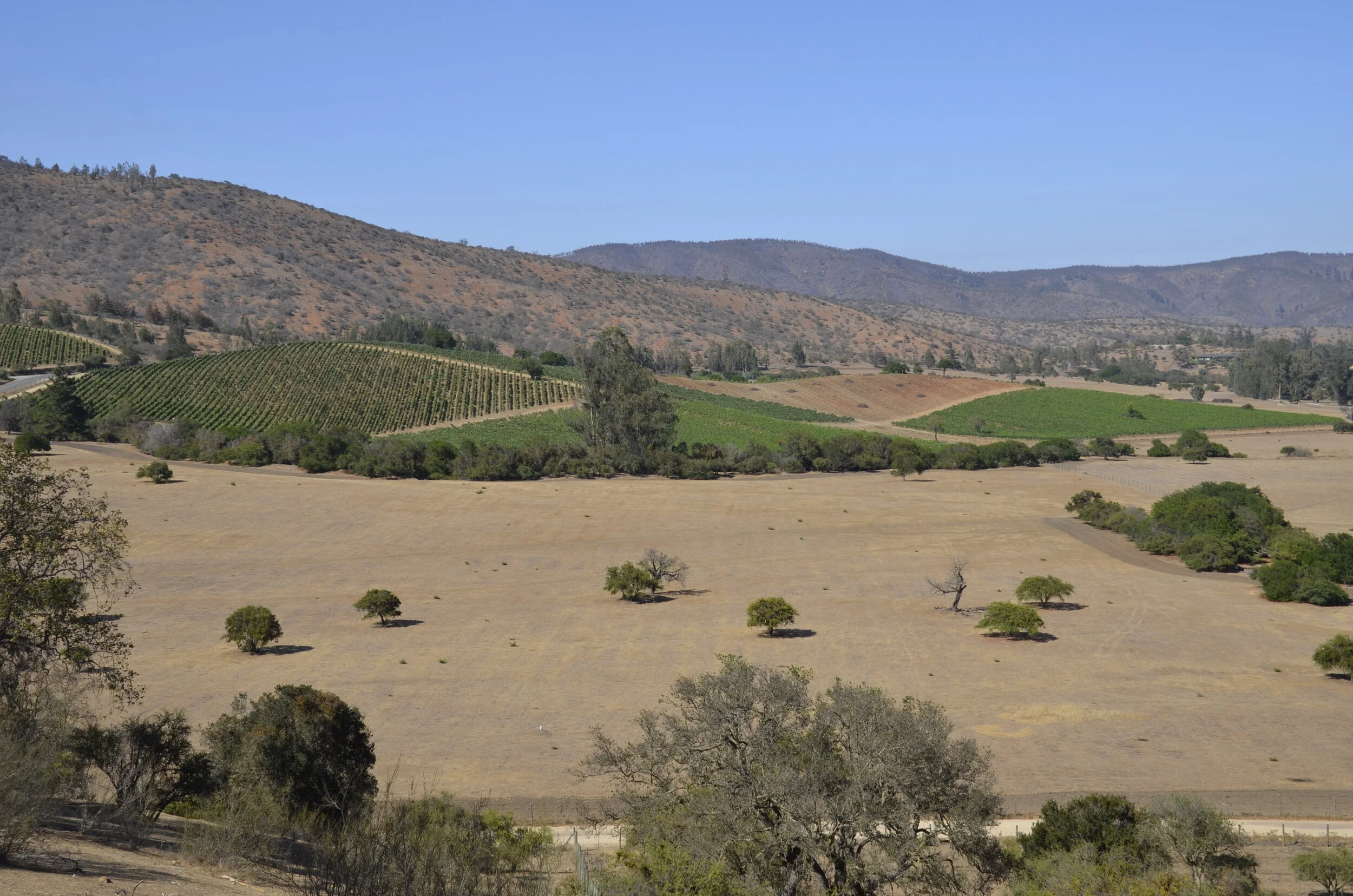
…while the area around Concha y Toro in the Maipo Valley was more lush (read irrigated, as both valleys are naturally deserts) -

_DSC0872.JPG

I didn’t take many pictures through here, as we were mainly enjoying the wines and extensive lunches we had.

Our drive to Mendoza climbed into the mountains relatively quickly -

IMG_20200217_102049.jpg

…and it was cool that they numbered the hairpin curves (the last was 29)

_DSC0912.JPG

You may want to enlarge the picture below to see the details better. Note the semi-trucks in the left lower corner. The orange rectangles are like tunnels that shield the road from landslides.

_DSC0920.JPG

At the top of the pass, at 9,450 ft, was Inca Lake:

_DSC0934.JPG

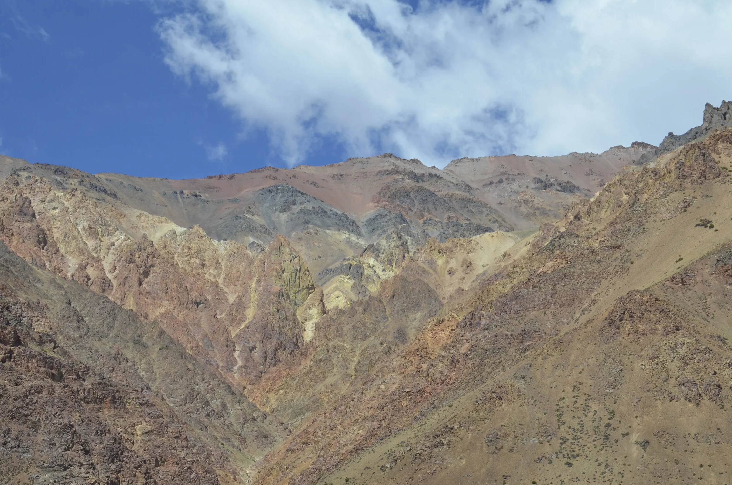
Coming down the Argentinian side, colors in the hills starting coming out -

_DSC0938.JPG

We also saw a very small glacier (but no snow), and neat veining in the rock -

_DSC0944.JPG

I guess I have a thing for colored rocks -

_DSC0959.JPG

Mount Aconcagua (22,837 ft) is the highest peak in the Southern and Western hemispheres (so, outside of Asia). I bet you can figure it’s the one in the back with the snow on it.

_DSC0980.JPG

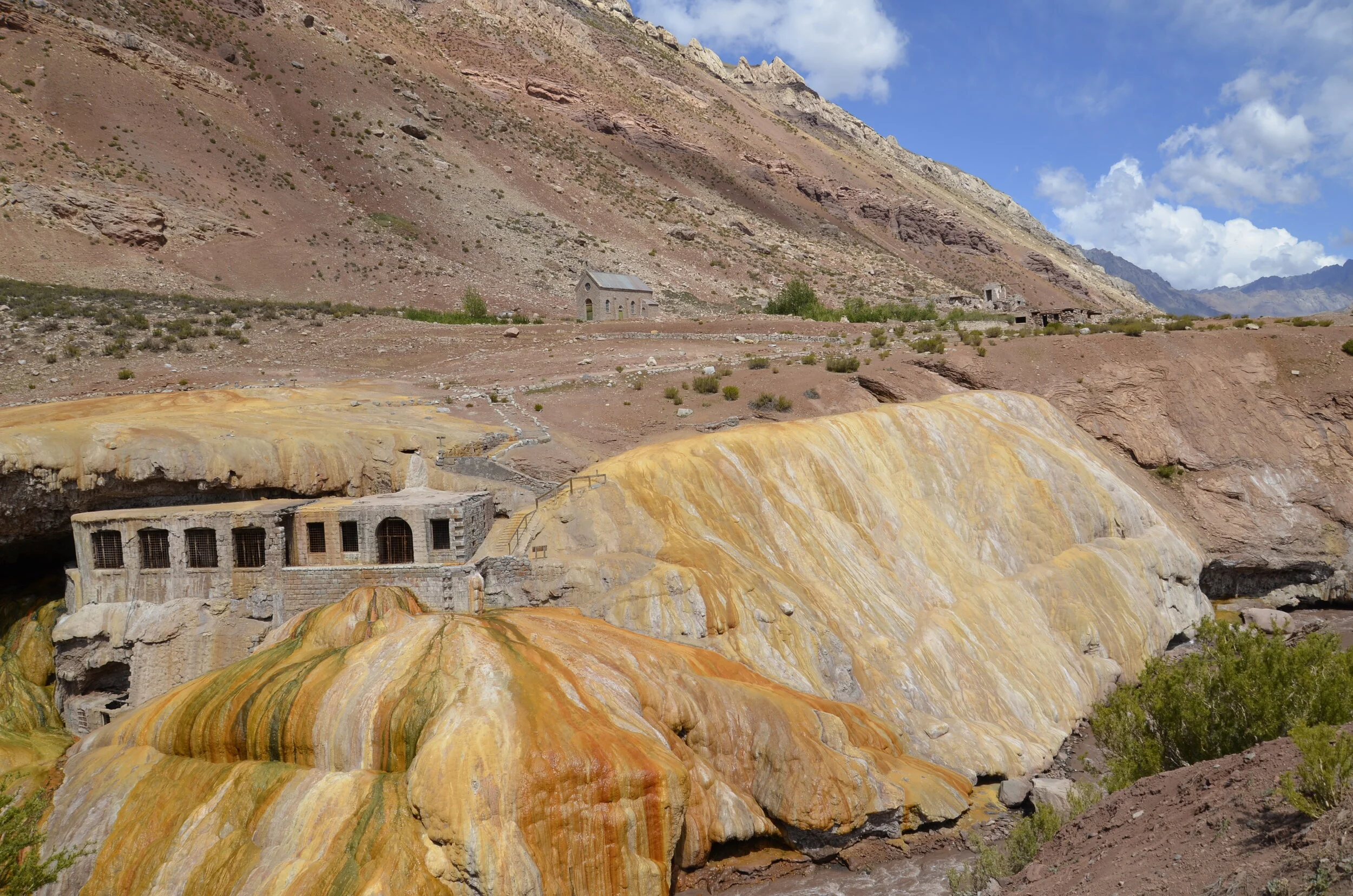
As we descended, the sky cleared, so we could appreciate the vivid colors of the Inca Bridge.

_DSC0991.JPG

The bridge formation is on the left in the picture above. The travertine flows are formed by minerals leaching out of the hot springs. The buildings were part of a resort and spa built in the early 1900’s. The colors were the most brilliant where the water is still running over -

_DSC1002.JPG

Did you notice that the river at the bottom of that picture was brown? It was a running joke that all the rivers in Argentina are brown. The only clear ones we saw were high in the mountains when we were hiking.

Further down the valley… guess what? Yep, more colored rocks.

_DSC1011.JPG

Here you can see where the brown river water meets the lake:

_DSC1028.JPG

The next day after arriving in Mendoza, we went hiking up Mt. Arenales, with a guide and our friends. It was a pretty bleak trail. We climbed very slowly because we started at over 9,000 ft and reached the summit at 11, 300 ft. Along the way, we met some friends…

_DSC1098.JPG

…and we decided that the views justified the hike.

_DSC1103.JPG
_DSC1108.JPG

You know by now that besides pretty colored rocks, I have a thing for “ends”.

_DSC1106.JPG

Santiago and Valparaiso, Chile

Big cities were an adjustment, after the solitude and dryness in the north. However, the bustle and energy revived us in different ways. We first hiked up a hill overlooking Santiago, for our daily exercise, and got great views of the sprawling Santiago metropolis.

_DSC0748.JPG

Unfortunately, the city was covered with a brown haze, due to recent fires in the surrounding countryside. The next picture shows the path we hiked up Cerro San Cristobal, up 1,000 ft, and shows how there are multiple hills popping up within the city proper.

_DSC0755.JPG

At the summit of the Cerro (means hill) was a little church and a huge statue honoring the Immaculate Conception of Mary.

_DSC0757.JPG

With this being mid summer, the city was gorgeously in bloom -

_DSC0777.JPG

As we walked along the streets, we found some fantastic street art…

_DSC0779.JPG

…but nothing to compare to Valparaiso, on the coast.

_DSC0819.JPG

We were to have some good friends join us for the next week of our trip at this point, but their plane was delayed by 12 hrs, so we went on the tour of street art and graffiti by ourselves. It was fascinating, and exhausting, hiking up and down many of the hills in the city for 3 hours.

_DSC0825.JPG

For those who might have some knowledge of graffiti artists, INTI is the painter for the one above.

_DSC0827.JPG

It was fascinating to see all the different styles of graffiti art.

_DSC0832.JPG

This was the view from our hotel:

_DSC0850.JPG

At times, the hills were crazy steep, but also picturesque -

_DSC0810.JPG

Like the San Francisco cable cars, Valparaiso has “touristic” means of transport called ascensors. This one was built around 1900:

_DSC0830.JPG

The density of housing up the hills was pretty significant -

_DSC0837.JPG

When our friends arrived that evening, we were all treated to the experience of pepper spray wafting up into the neighborhood where we were staying, from the riots down on the streets of downtown. Man, that burns the eyes!

But like the phoenix, we rose again the next day, to push on…

_DSC0849.JPG

Valle de la Luna and Elqui Valley

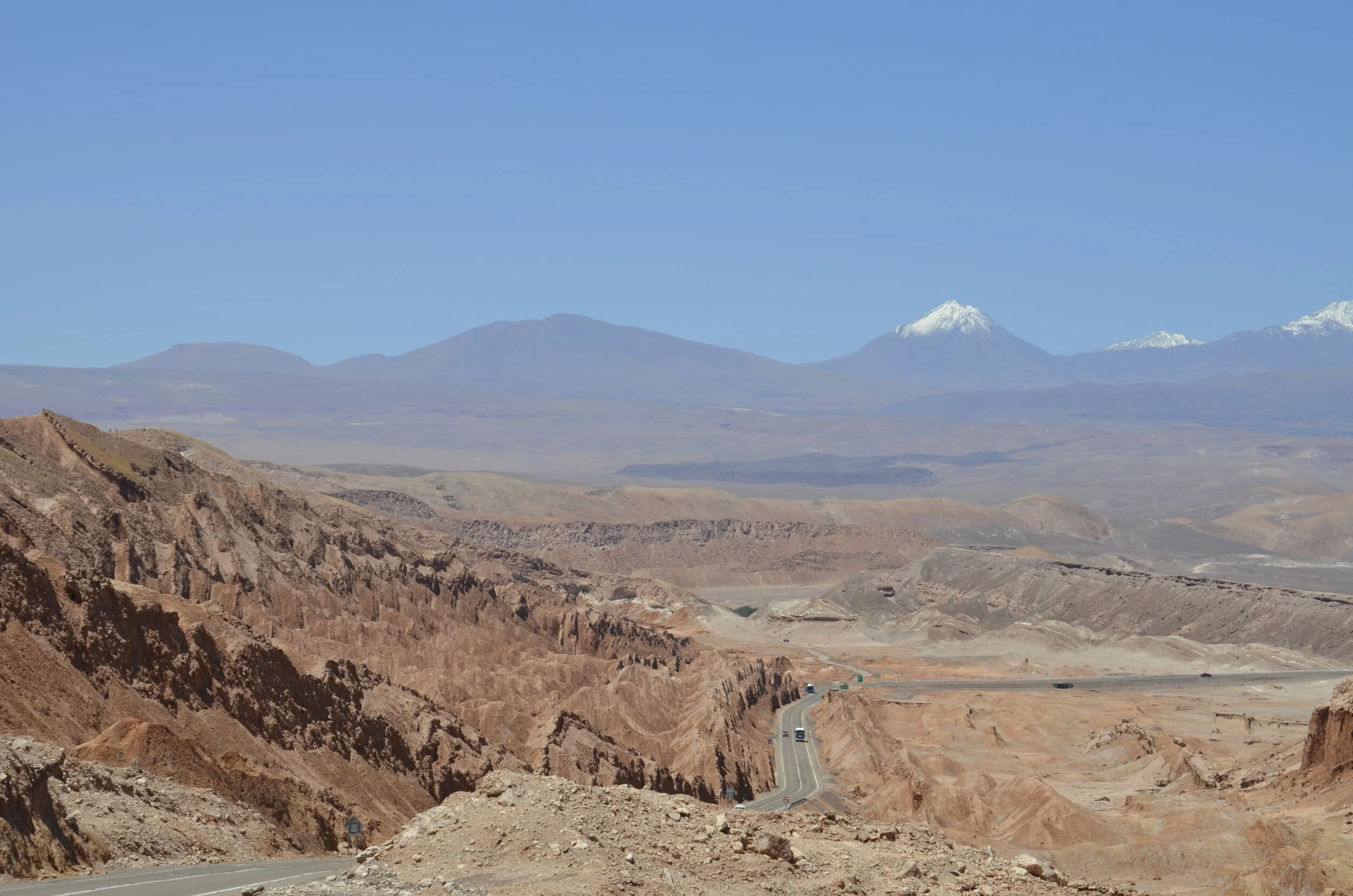
“Moon Valley” was the most hyped tour in all of San Pedro de Atacama, and it was only a few km outside of town, so we weren’t necessarily all that excited to see it… We were blown away!

_DSC0632.JPG

It had one of the more massive sand dunes we’ve ever seen. The “small” rock formation on the right side of the picture above is called the Amphitheater, and I’ll have a picture later, much closer.

_DSC0637.JPG

You really can’t appreciate the immensity of this dune unless you have people in it for scale…

(enlarge the sand to see the neat ripples)

(enlarge the sand to see the neat ripples)

…or see it from different angles.

_DSC0668.JPG

The surrounding terrain was definitely other-worldly -

_DSC0656.JPG

The white areas are salt that leached out of the surrounding soil/rocks.

_DSC0650.JPG

That path above is where we could see the dune the best, as well as the jagged landscape.

_DSC0657.JPG

Ok, the promised Amphitheater (I couldn’t get anything near it to show scale, but just know it’s huge, like football field huge):

_DSC0666.JPG

My favorite shot of the sand dune:

_DSC0649.JPG

We took a “sleeper” bus from San Pedro de Atacama to La Serena, a seaside town near the Elqui Valley on the central coast of Chile (the ride was 16 hours), and on our arrival, we were reacquainted with humidity.

_DSC0691.JPG

Elqui Valley is known for its dark skies for astronomy, and growing grapes for pisco - a national liquor that’s distilled into something like brandy.

_DSC0707.JPG

They make pisco sours with it, and argue with Peruvians on who invented it first.

_DSC0739.JPG

That evening we took a tour to an observatory, 30 minutes ride back into the hills, to get away from light.

IMG_20200211_211646.jpg

This was the 13 inch telescope that the two astronomers used to show us awesome sights in the sky like nebulae, collapsing stars, and the dimming star Betelgeuse, that has astronomers the world over, all aflutter.

IMG_20200211_212117.jpg

I really wanted to get pictures through the telescope, but couldn’t. We just oohed and ahhed, and I took some long exposures with my camera. This was the best, showing the voids in the Milky Way -

_DSC0744.JPG

Interesting adventures in northern Chile

One day we drove a short way out of town, to hike in a canyon with both cacti and a river. The views and topography were very unique to the area. San Pedro de Atacama is in a desert, but as you approach this canyon, you notice that there’s something different here…Green!

_DSC0535.JPG

We first started hiking on that narrow trail you see on the right side of the picture above. We only got about 1/4 mile in when the trail petered out, and I tried scrambling up a rock wall, to see if it might continue around a bend, but it was a long drop to the river, with no clear path to be seen. So… we backtracked, and tried the left side of the river. See, the hotel reception guy told us it was “easy hiking - start at km 24 mark”, and we had no other trail map to go on, other than reports on Trip Advisor that said how beautiful it was, and how they went with a guide. A guide for these two intrepid world travelers? Pshaw!

our beginning treat

our beginning treat

farther in the canyon

farther in the canyon

After hiking about 45 minutes, the scenery was remaining about the same, but the trail was getting harder to follow.

IMG_20200207_112739.jpg

So we turned around, satisfied that we had gotten some hiking in, as well as experienced this special area.

Another day, we drove 1 1/2 hours to the altiplanic Lakes Miscanti and Miniques, at 4150 m (13,600 ft). I just looked up the definition of Altiplano - a term that was tossed around in both Chile and Peru. It refers to the plateau where “the Andes are at their widest” and is the most extensive area of high plateau in the world, outside of Tibet.

_DSC0571.JPG

The views were quite striking…

_DSC0589.JPG

But after snapping the obligate shots…

_DSC0586.JPG

…we were decidedly underwhelmed by the destination after driving so far. The only “hiking” was along a very limited trail that paralleled the dirt road, and didn’t approach the lakes nearly close enough for my liking. Also, there was very little bird and animal life to be seen.

_DSC0600.JPG

The three dots in the water were the only flamingos we saw, and I believe they were the pale Chilean flamingos. They were each standing on one leg, with their bills tucked under their wings.

_DSC0591.JPG

Since we had driven so far, we decided to check out Laguna Aguas Calientes that was “nearby”, and purported to have numerous flamingos. We followed Google Maps’ first recommendation for a road that would be a shorter trip, but turned back after 3 km, when the road was washed out for the second time, and the way around had boulders the size of our car tires. Soooo… not to be thwarted, we followed the next map that was on paved road for ~15 km, ‘til we reached a village and where the road was washed out (a theme here?). Intrepid (foolhardy?) explorers that we are, we continued on the WORST washboard dirt road we have ever been on, bar none (including in the Serengeti in Africa) for a bone and teeth rattling 30 minutes, before we called it - given that we still had another hour of that torture to reach the destination, then face the daunting 1 1/2 hrs back on the same stuff. We at least got to see Volcan Laskar:

_DSC0621 Volcan Laskar.JPG

Later that evening, we were treated to a gorgeously colored sky on our way to dinner. Whew! Enough adventures for now.

IMG_20200207_201809.jpg

Geysers, flamingos and viscachas

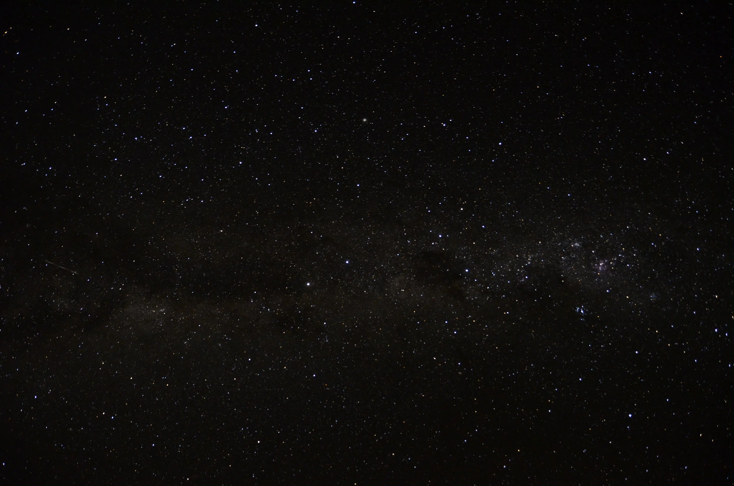
It is recommended to get to the geyser field before sunrise, because the plumes of steam are much higher and photogenic in the cold night air. We left our hotel at 0500 so that I could take some Milky Way pictures, and we figured that we’d just pull off the side of the road, set up the tripod and snap a few pictures before driving on. Well…we didn’t count on the huge line of tourist vans and cars heading out the same dirt road. So, we drove on, until we met a spur road (in much worse condition) and drove 4 or 5 km to get up on a rise and out of the sweep of oncoming headlights.

_DSC0205.JPG

That picture was the best I had of the Magellanic Clouds, so just ignore the headlight and hill in the bottom.

_DSC0204.JPG

As we then headed on to the geysers we were at the end of the long line of vans, but they were luckily quite a ways ahead, so their dust didn’t bother us. We had to drive 1 1/2 hrs on a packed dirt road in the dark, but did get to see the sky slowly lighten as we neared our destination.

_DSC0216.JPG

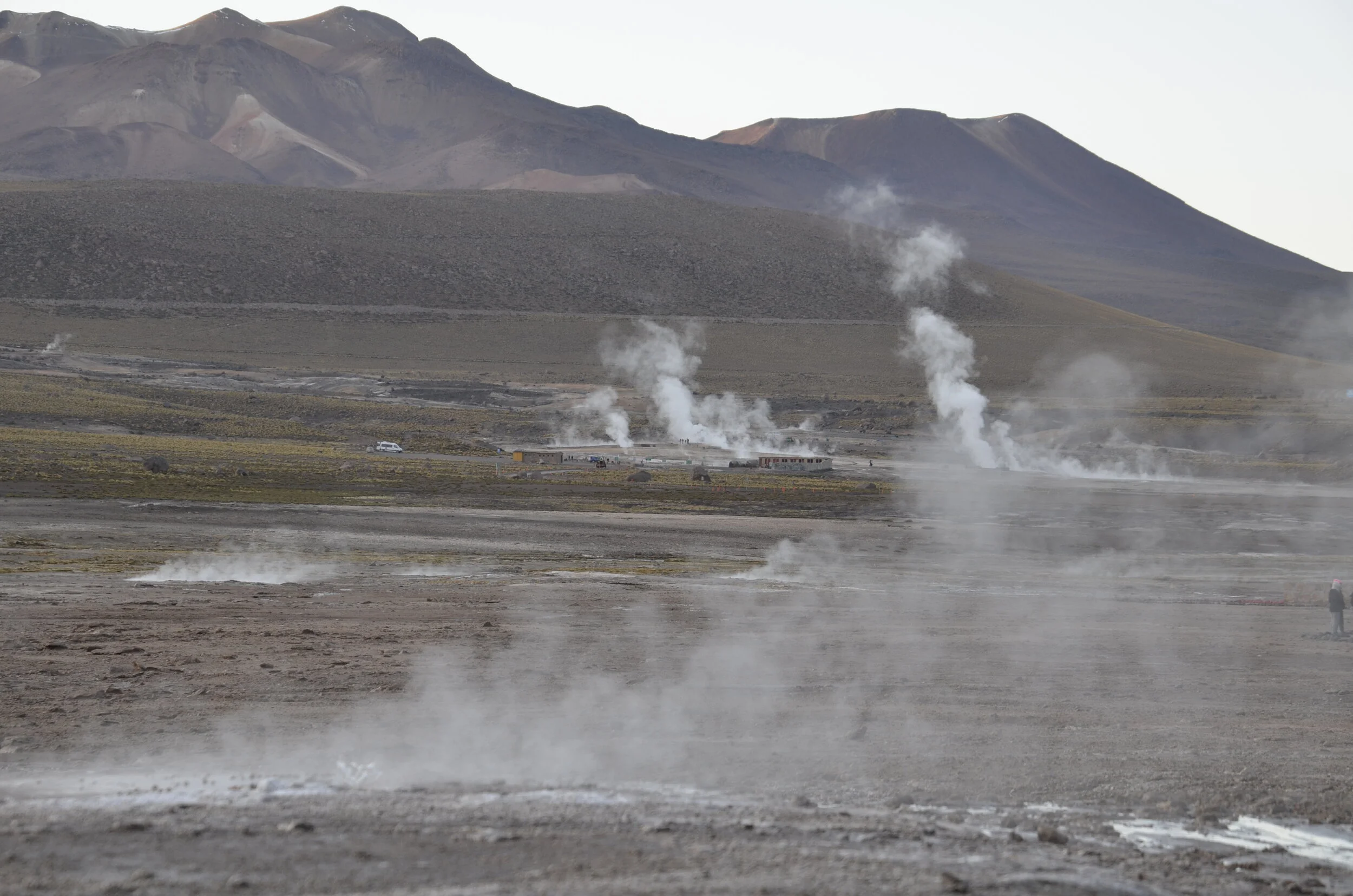
The El Tatio geyser field has over 80 active geysers, making it the largest field in the southern hemisphere and the third largest in the world. It sits at 4320 m (14,173 ft) of elevation.

_DSC0234.JPG

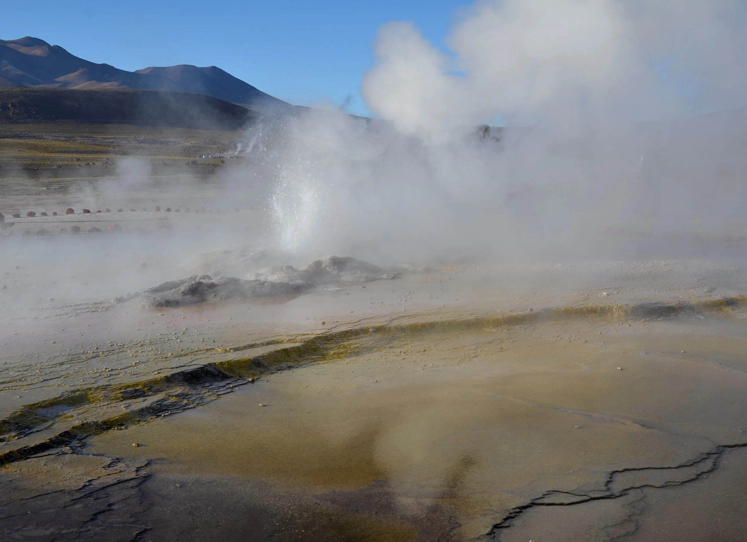
There were shooting geysers like that one above, and others were just steaming pools.

_DSC0220.JPG

This helps give the atmosphere - think puffy jackets, down gloves and balaclavas/buffs on all (but us silly gringos):

_DSC0257.JPG

I just really liked this shot:

_DSC0264.JPG

As the sun cleared the surroundings mountains, the scene changed remarkably -

_DSC0301.JPG
_DSC0317.JPG

The blue of the sky was suddenly much more prominent…

_DSC0342.JPG
_DSC0380.JPG

…and the shadows in the steam, way cooler.

_DSC0360.JPG

The audio from these burbling pools just made me smile - (if the video doesn’t play in your email, click through to the site)

Driving back from the geysers, we could see what we had missed in the dark, and it was substantial.

_DSC0389.JPG

First, I saw some viscachas at the waters’ edge (for those of you who may remember, we first spied these cute bundles of fur on our high altitude crossing in Peru to see the condors). They are in the chinchilla family, and actually not closely related to rabbits -

_DSC0394.JPG

Then we saw some Andean Flamingos, and I swear, they are the most beautiful of all 6 species in the world.

_DSC0478.JPG

The Chilean Flamingo is much paler -

_DSC0499 Chilean Flamingo.JPG

Again…just makes me smile -

_DSC0504.JPG

This makes for a great last shot, showing the differences between two extinct volcanoes:

_DSC0521.JPG

Moving on to Chile

We took a bus (that picked us up on the side of the road outside our hotel in Purmamarca) to San Pedro de Atacama in Chile. It was purported to be a 7 hour trip, but after wasting 1 1/2 hours in multiple lines at immigration at the Argentina/Chile border, it was much longer. We’ve decided that, in comparison, the slowest airport customs and immigration look downright lightning fast. Unfortunately for some, the altitude of the border crossing at ~14,000 ft caused acute altitude sickness. It seemed to hit younger folks - 2 teenage girls sat on the floor or laid down, while we stood in the interminable lines, but got markedly better after receiving oxygen at the infirmary. Two little kids vomited. To add insult to injury, after waiting all that time, we then had to collect our bags that were unloaded from the bus, and haul them into the station for the customs agents to rifle through by hand. After the bus was all reloaded and we headed on our way, we continued to climb to ~16,000 ft. I later learned that this is the highest paved road in the world.

Interestingly, at the outset, we were the last ones to board the bus, and the 2 front seats with great window views were open. I’ll share a few pictures that Steve took with his phone, but please excuse any bug smears, or window reflections you might see. ;-)

IMG_20200204_161622.jpg

This was usually the type of view we had, for a number of hours in the middle of the trip. Then random rocks would pop up -

IMG_20200204_163332.jpg

Then other, more majestic structures would pop up.

IMG_20200204_164843.jpg

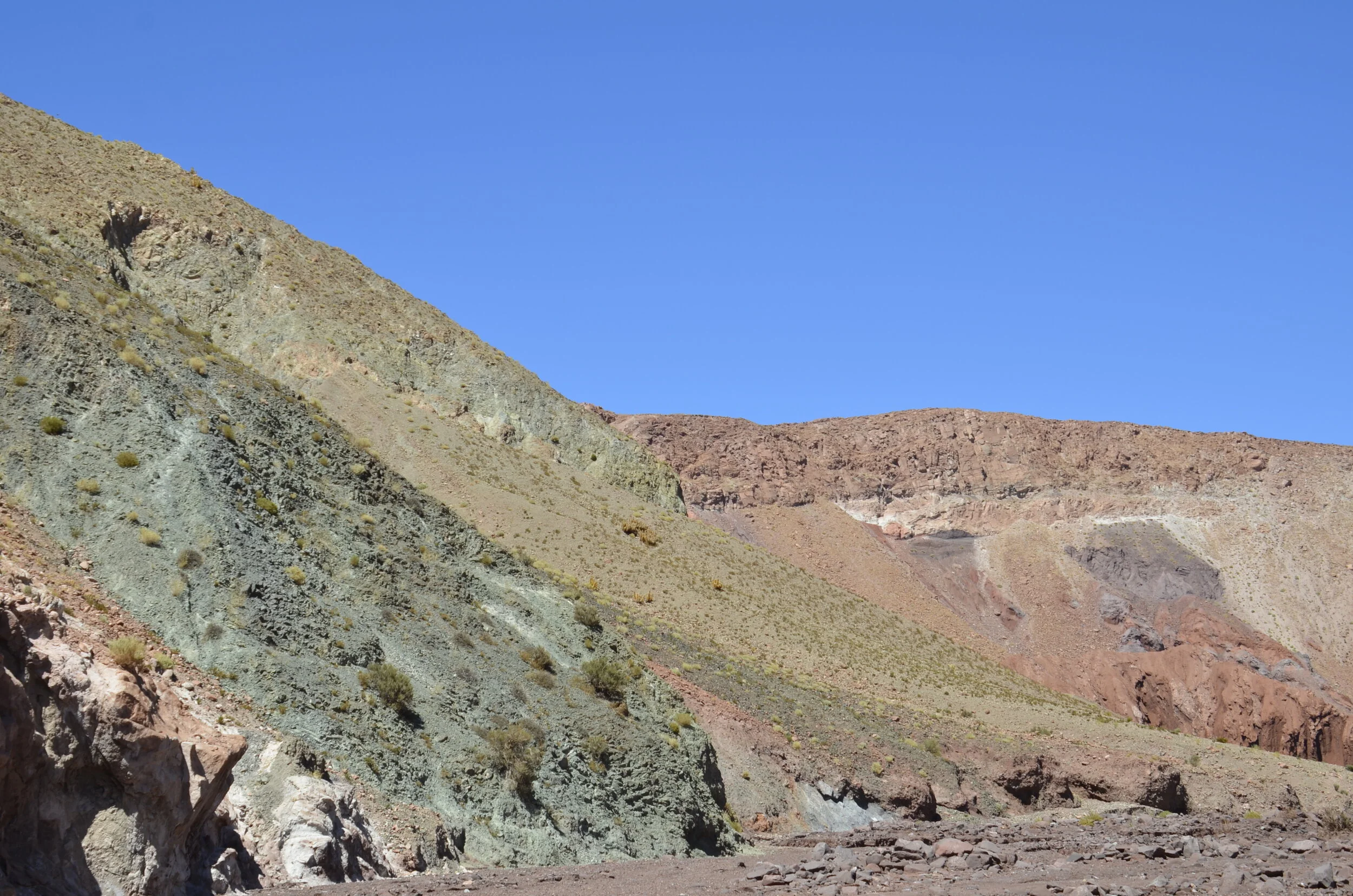
On our first full day in San Pedro de Atacama, we drove our rental pickup truck to Valle Arcoiris (Rainbow Valley), and I think you’ll see that it was aptly named. But first, along the way, a guanaco posed like he was gracing a tourist pamphlet:

_DSC0095 Guanaco.JPG

Then the llamas did it -

_DSC0105.JPG

The roads in Chile are ever so much better than Argentina.

_DSC0097.JPG

Ok, ok… Rainbow Valley -

_DSC0123.JPG
_DSC0124.JPG

Our trusty steed:

_DSC0126.JPG
_DSC0149.JPG

On our way to see some petroglyphs, we noticed that the cacti here at 15,000 ft don’t grow very tall:

_DSC0156.JPG

We were really glad that we had become acclimated to the altitude back in Argentina, because most of our jaunts around this area involved climbing up to “nosebleed” heights. On another note, about cacti, we had noticed in Argentina that they had a cactus line, like we have tree lines in the US at altitude. It appeared that the tall cordones (like saguaro) couldn’t thrive above 12,000 ft.

As we drove on to see the petroglyphs, we passed a herd of llamas very close to the road. We’ve learned that llamas and alpacas (I haven’t gotten any pictures of the latter yet) are domesticated, while vicunas and guanacos are wild. Thus, the first poser in this post is wild, as are the vicunas you saw in earlier posts.

_DSC0162.JPG

This young llama had such soft looking fur, I just wanted to reach out and pet him. I loved the curly little tail. The variety of colors in the herd was quite interesting:

_DSC0158.JPG

There wasn’t a guide or any written information at the petroglyphs, but we had read that they are believed to have been made in 1000 B.C.

_DSC0175.JPG

I do believe that these are the first flamingos we’ve ever seen carved into rock! Also, the first seated human figures…

_DSC0181.JPG

…as well as the largest llama.

_DSC0186.JPG

Most of the area around here is sand and rocks, but there are some pretty neat formations…

_DSC0202.JPG

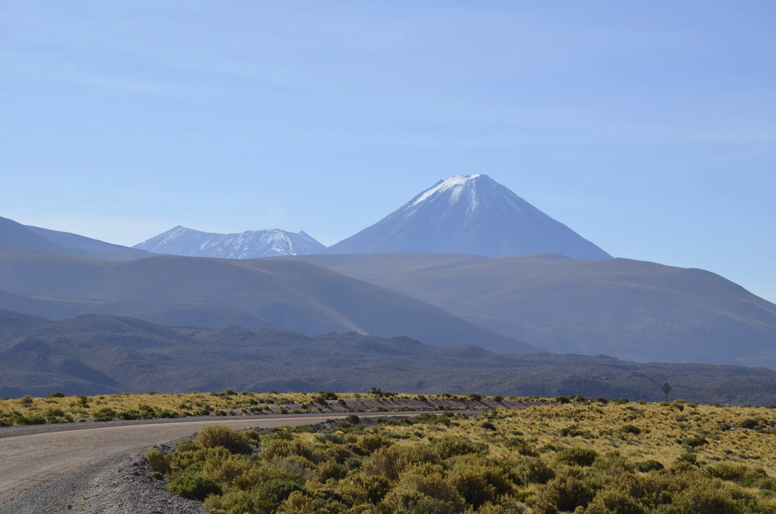
…and I keep oohing and ahhing over the snow capped peaks ringing us.

_DSC0192.JPG

We have now reached the end (of this post).

Guanaco butt!

Guanaco butt!

Colored mountains and salt flats

After spending one night in Salta again, we headed north to Purmamarca, home of the Seven Colored Mountain -

_DSC0034.JPG

This is actually considered the “poor cousin” to Fourteen Colored Mountain, but more on that later.

This is the little town of Purmamarca, nestled in along the gorgeous mountain chain -

_DSC0046.JPG

On our first afternoon here, we drove west (and up) to Salinas Grandes (salt flats). I thought we were high the previous day, but this area topped that at 4170 m (13,680 ft)! Along the way, there were beautiful hillsides…

_DSC0015.JPG

…as we climbed into the clouds.

_DSC0025.JPG
_DSC9945.JPG

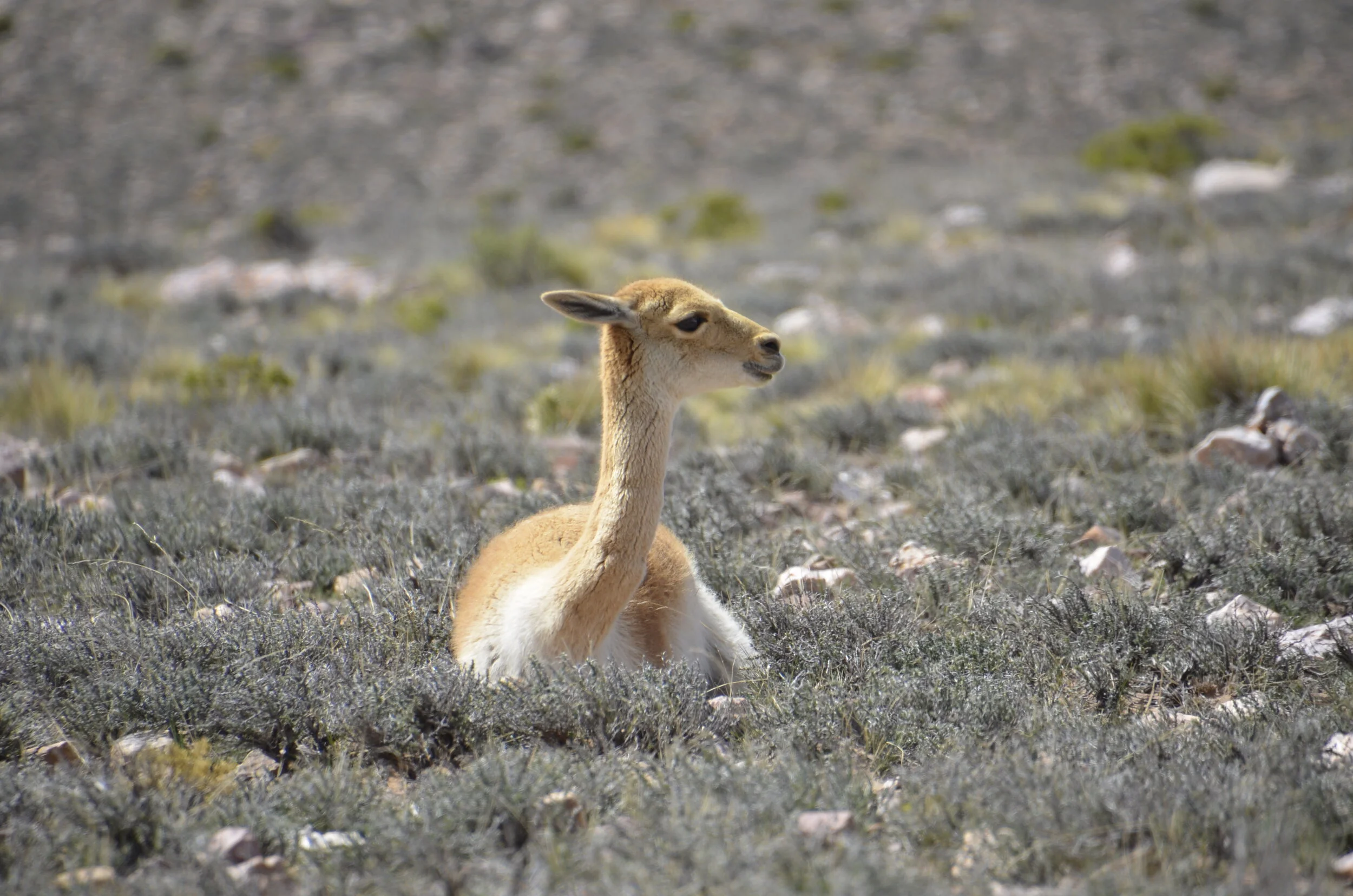
The vicunas along the road were blasé about our passing.

_DSC9960.JPG

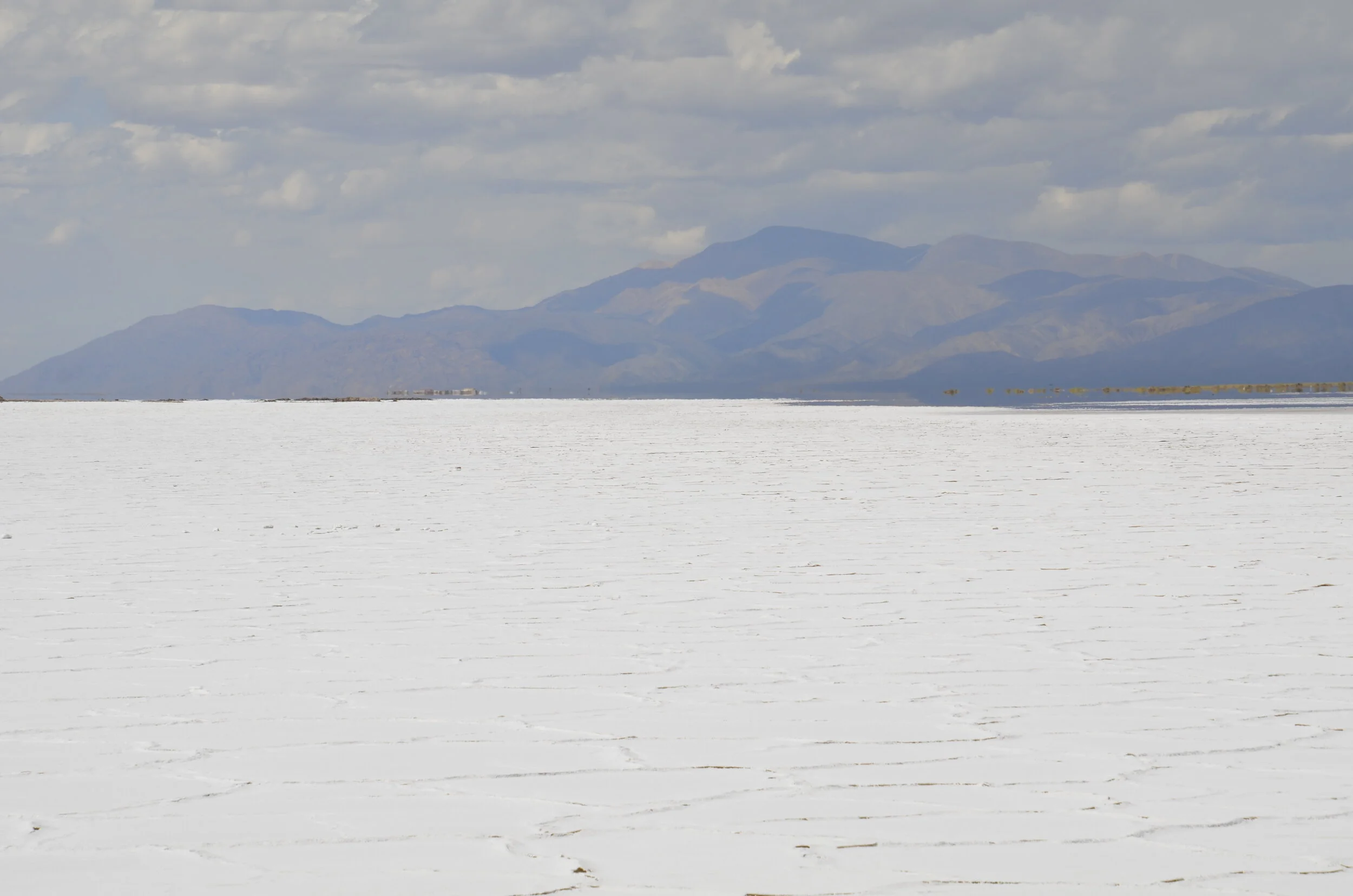
As we descended from the heights to approach the salt flats (still high at 13,440 ft), we could see the blinding white for miles. We drove out on the flats on a road used by salt mining trucks (which weren’t there on the Sunday we visited).

_DSC9969.JPG

The geometric shapes made by the salt were pretty cool -

_DSC9975.JPG

As we left, we came upon some more vicunas, and I just couldn’t resist more pictures (I just loved the little bent knees) -

_DSC10003.JPG

On the way to the Fourteen Colored Mountain, we passed this adobe bus stop literally out in the middle of nowhere:

_DSC0073.JPG

This time we did some serious climbing into the clouds…

_DSC0071.JPG

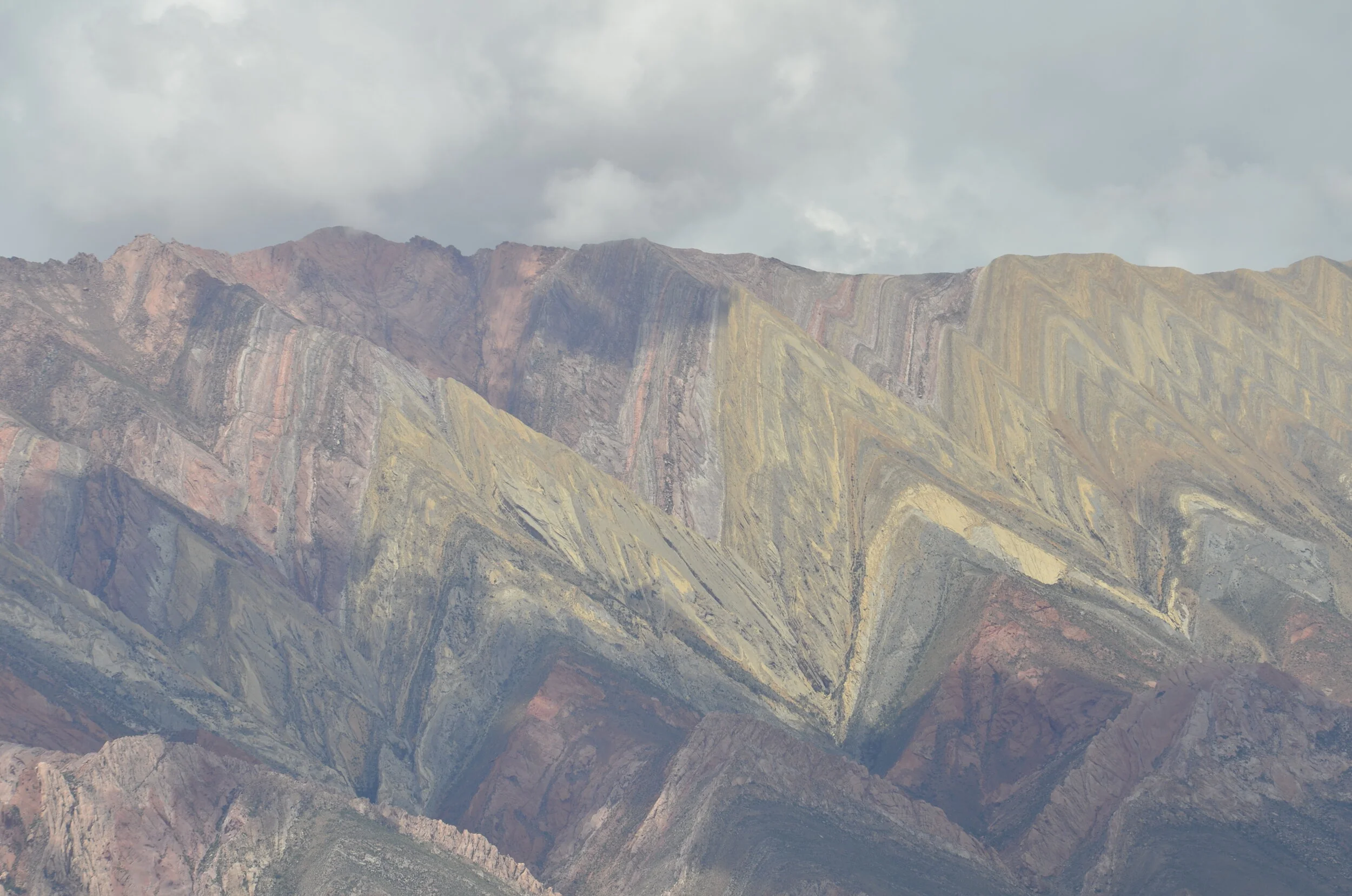
…to top out at 4350 m (14,270 ft). Fourteen Colored Mountain was spread out in all its glory, but unfortunately, clouds blocked the sun intermittently.

_DSC0054.JPG

It was really impressive, but because it was so far away, it kinda lost something in comparison to its poorer cousin, back down the valley. It sure was a lot easier to get to than Rainbow Mountain in Peru, where we had to hike several km at 16-17,000 ft!

_DSC0062.JPG

I was glad I had my long lens, to capture the detail of the layers.

_DSC0066.JPG

On the way back to Purmamarca, the afternoon light was just right for the Painter’s Palette:

_DSC0084.JPG
_DSC0081.JPG

Next, we’re off on a 7 hr bus ride, crossing into Chile to stay in the Atacama desert area for several days.

Driving and geography in NW Argentina

I think you know that “geography” is a euphemism for pretty pictures. ;-)

_DSC9818.JPG

As we drove from Cafayate to Molinos (a tiny “one horse” town - not really, there were 20 horses tied up outside the church for Sunday morning Mass), we passed through Quebrada de Las Fleches, which means the Canyon of the Arrowheads.

_DSC9825.JPG

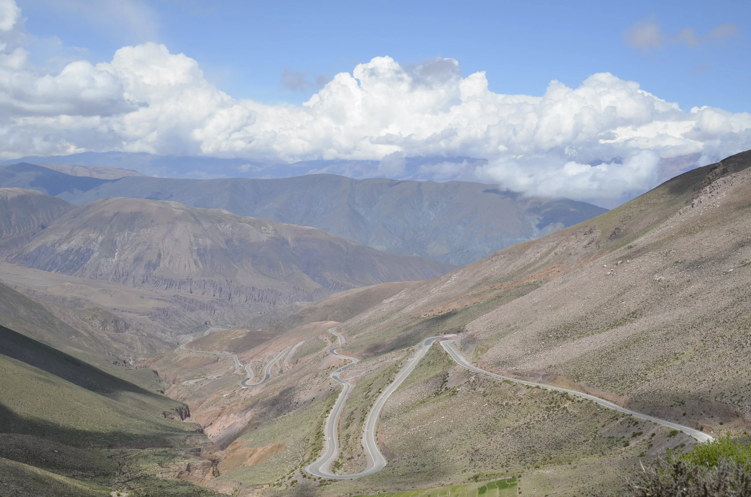
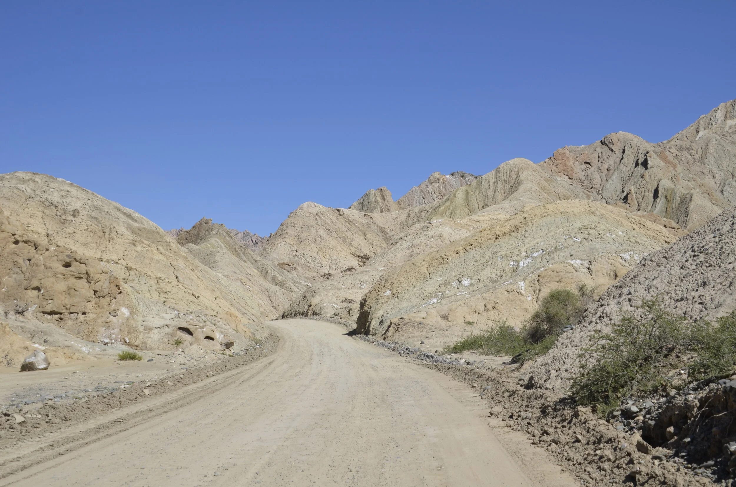
It was 100 km of dusty, bumpy driving, but with gorgeous views around almost every turn:

_DSC9823.JPG

If you had a big rock on your property, wouldn’t you fence it in? -

_DSC9829.JPG

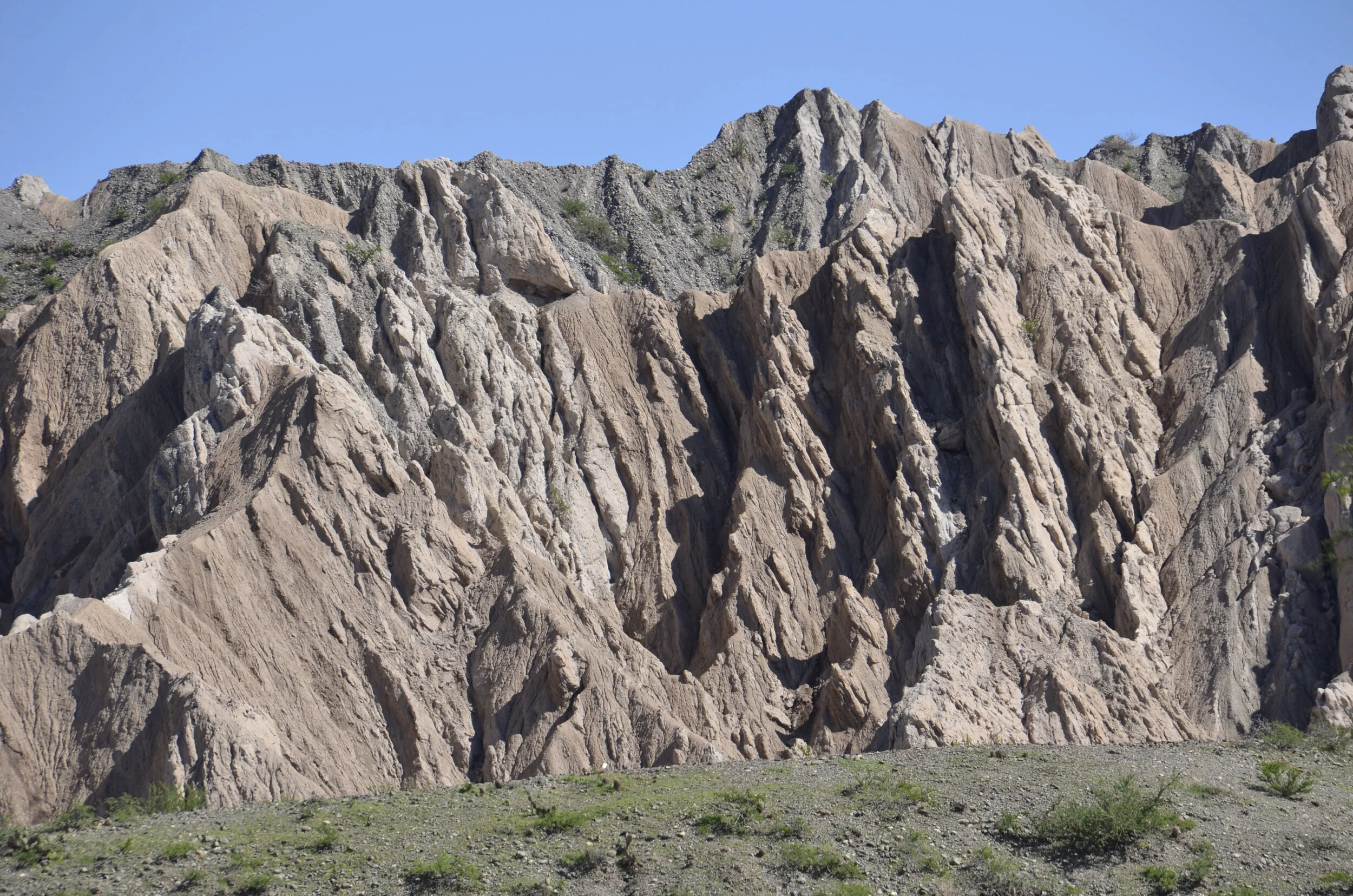
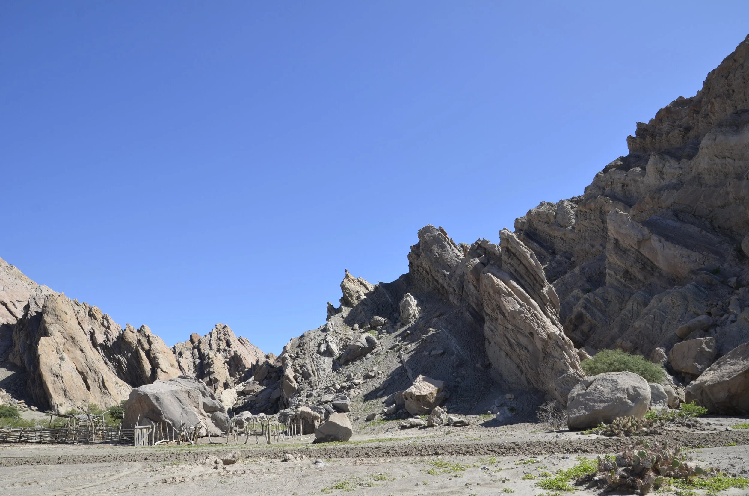
As we progressed down the road, we passed through some pretty impressive formations…

_DSC9835.JPG

…before leaving the area -

_DSC9844.JPG

We then had lunch at a fabulous winery (which to reach, we had to drive 30 minutes on an even bumpier, narrow, winding dirt road than we’d just been on). It was like an oasis:

_DSC9850.JPG

I took lots of pictures of different grape varietals, and it was fascinating to see the different shapes of grape clusters. I liked this one the best because it was so colorful (I have no idea what varietal it is):

_DSC9861.JPG

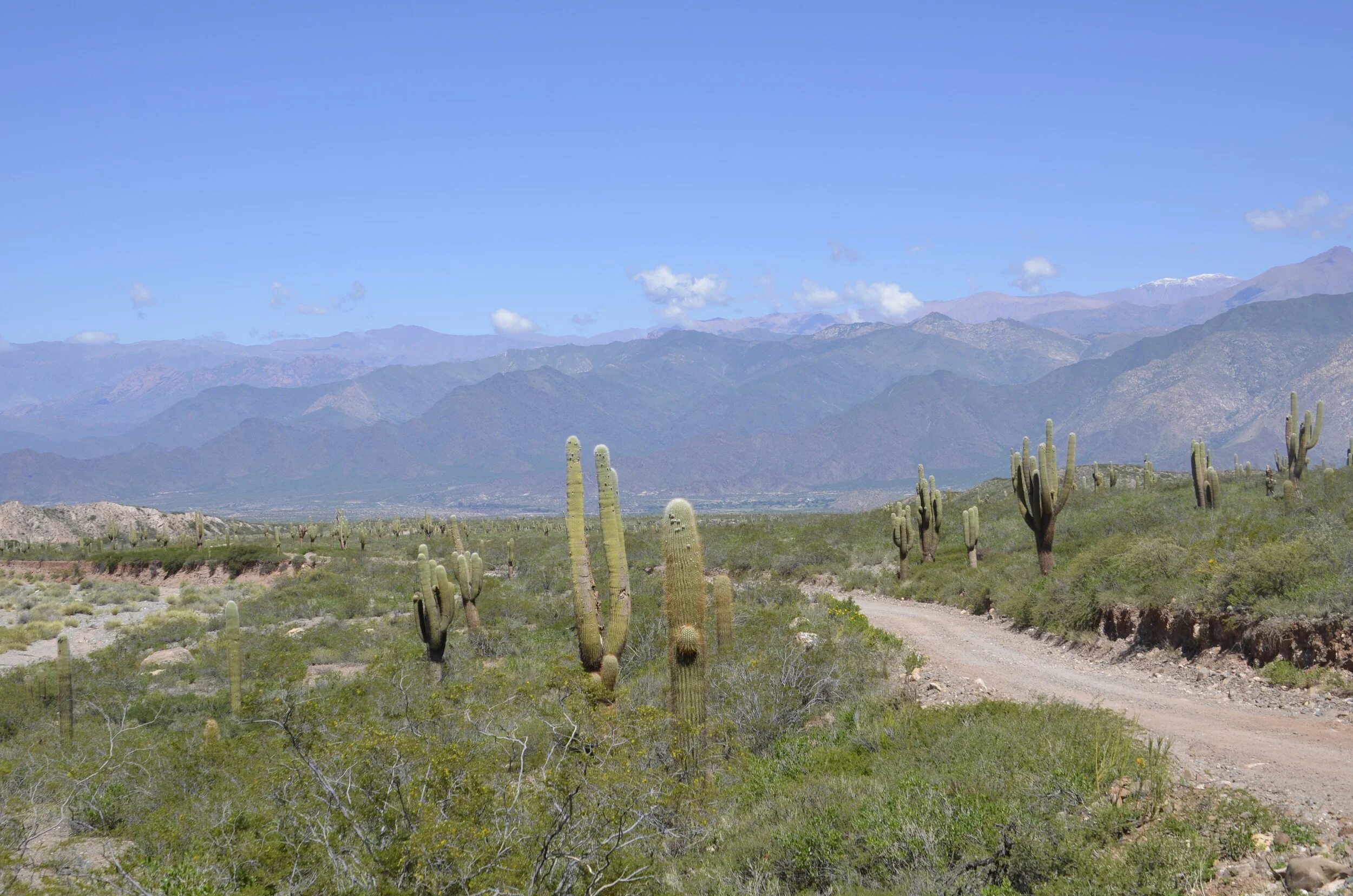
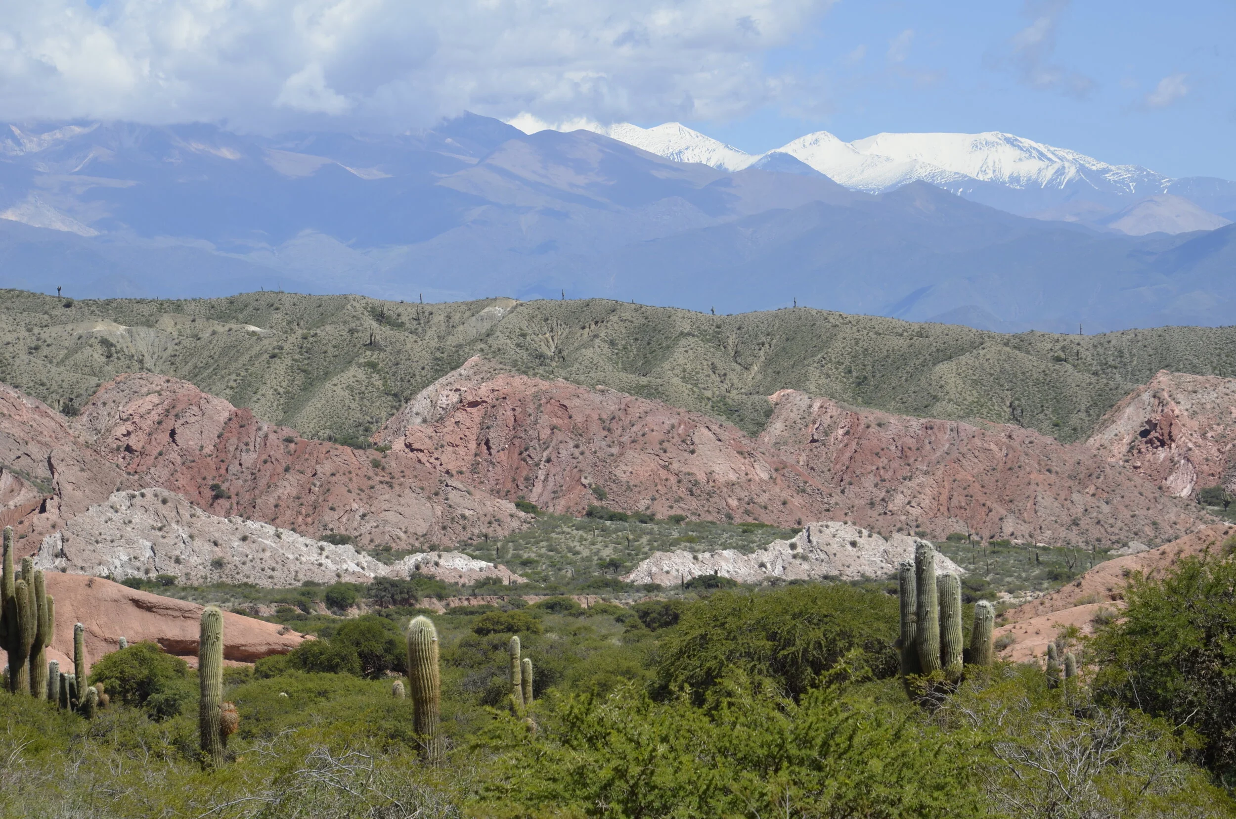
On our way back to Salta (the first town in Argentina that we stayed in), we drove through the National Park of Los Cordones (a cactus species). Still the dirt roads continued, but we got our first glimpse of snow capped peaks…

_DSC9933 Salta  (9).JPG

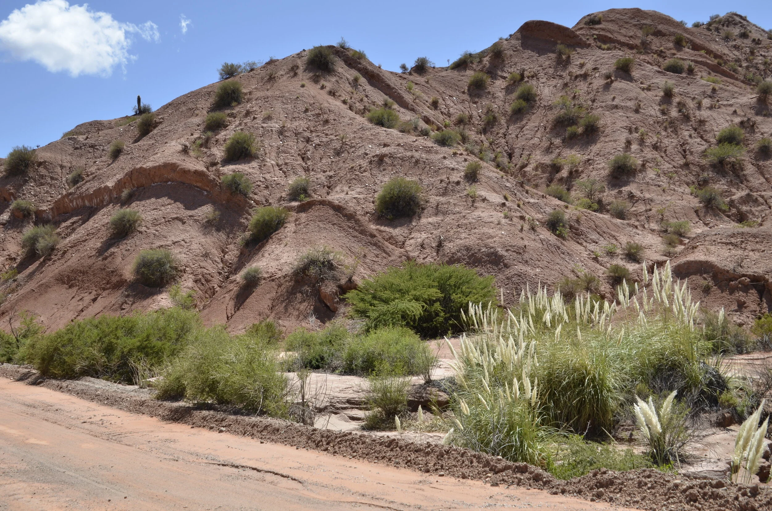
…and pampas grass -

_DSC9933 Salta  (16).JPG
_DSC9933 Salta  (19).JPG

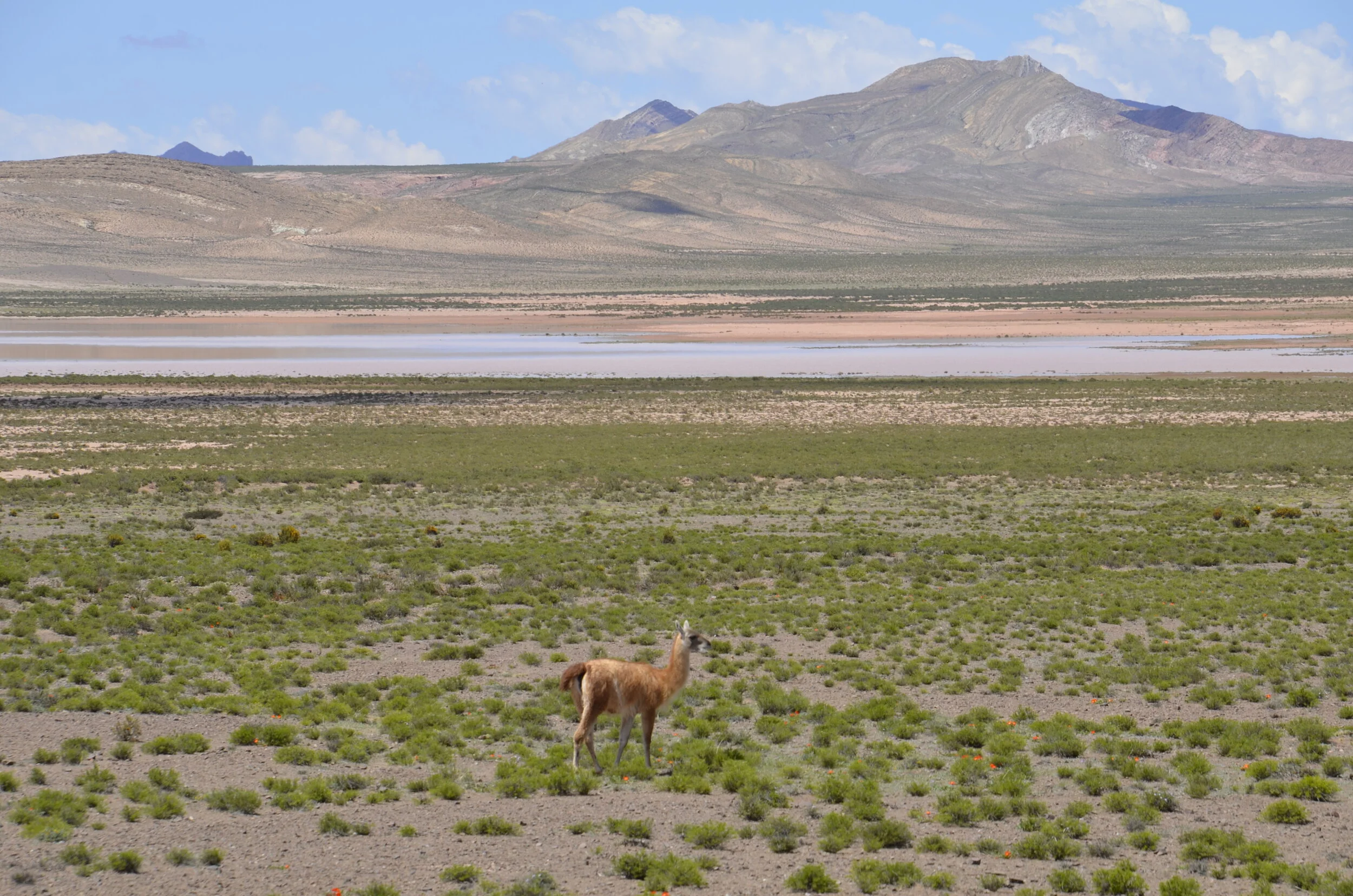
As we passed out of the park, we began climbing to 2900 m (9500+ ft) and saw our first guanaco:

_DSC9933 Salta  (29).JPG

We also were stopped for our first time by the Argentinian police, to check our papers, and they even wanted to look in the back of the car. Later, there were numerous traffic stops or slowdowns on various roads, and one even included a Breathalyzer test. This was on Sunday morning! Steve found out later that this is common because of people driving home after celebrating a lot the night before.

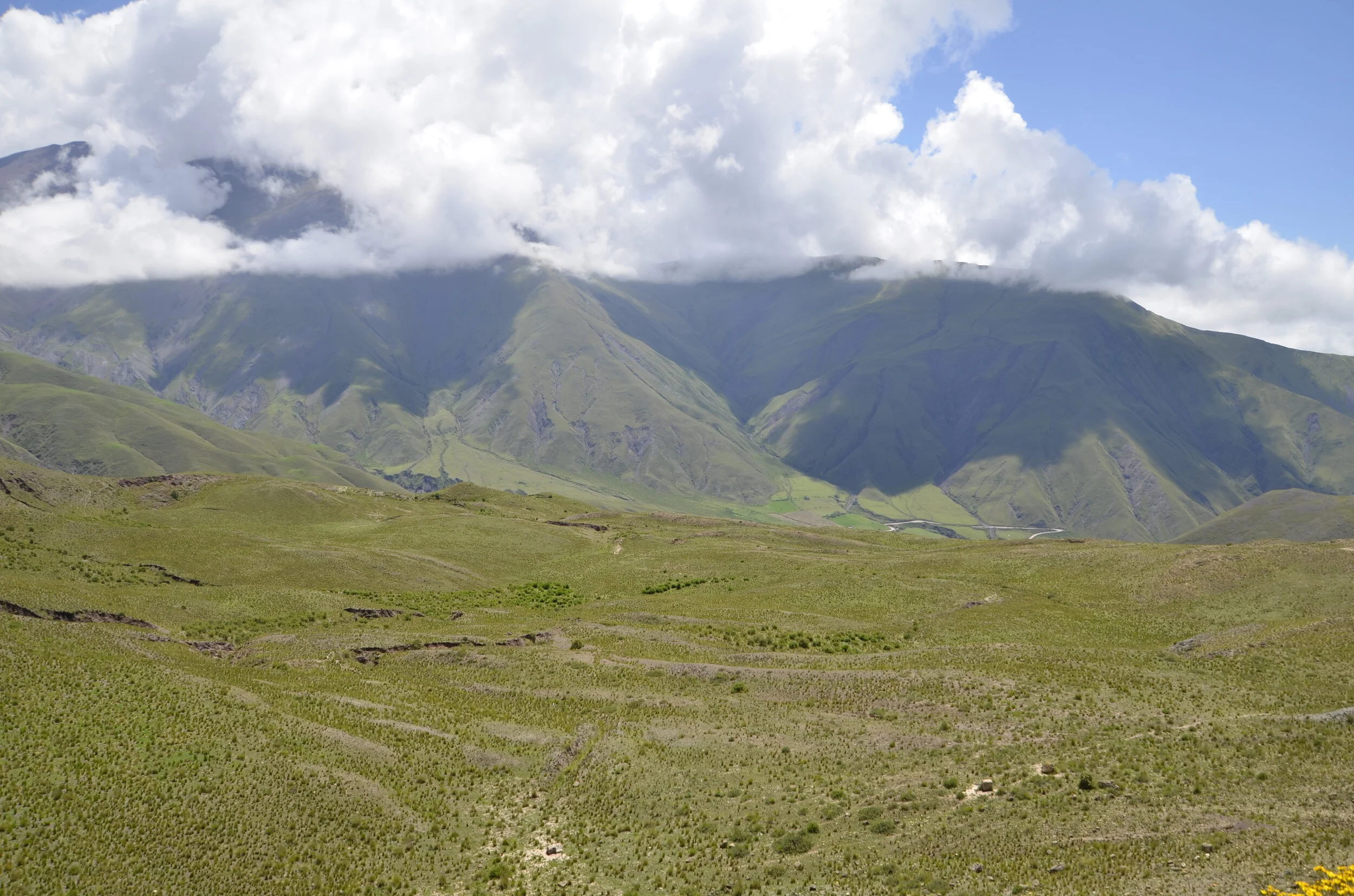
Returning to the drive… we topped out at 11, 340 ft… (we were level with the clouds)

_DSC9933 Salta  (39).JPG

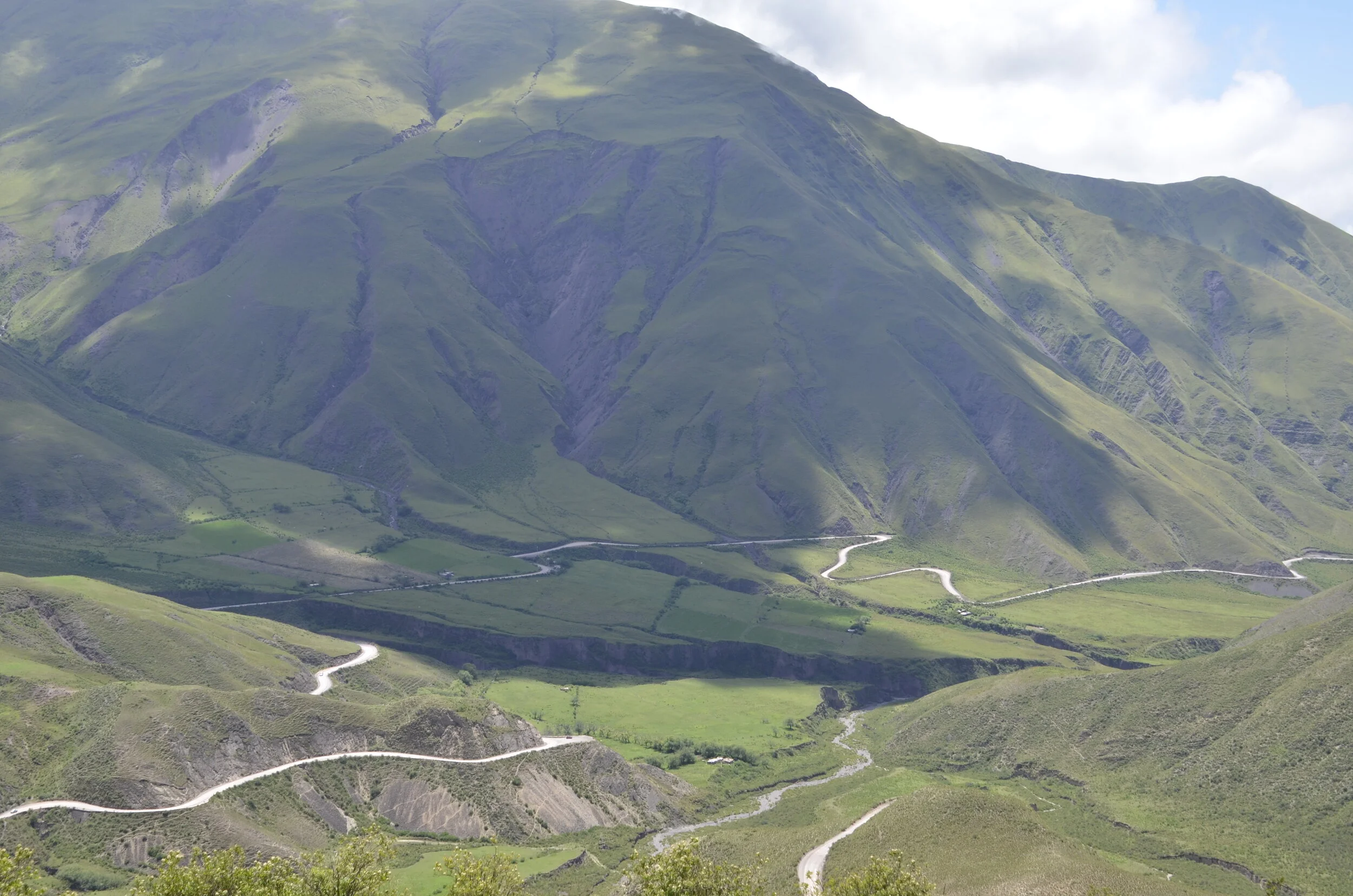
…before descending a very narrow, curvy, dirt road (noticing the common points here?) -

_DSC9933 Salta  (43).JPG

Some more driving tidbits - in Argentina, even in the bigger cities, there are no stop signs or lights at most intersections. We found out that the legal rule is that the person on the right has the right of way. In reality, it’s the person driving faster, more aggressively or in a bigger vehicle (i.e. bus). Basically, you slow down as you approach an intersection (if you are timid or foreign), and if no one is coming, you proceed on. If someone is approaching, and you can beat them to the punch, you proceed, or you can hesitate (and throw in the towel) and anger the drivers behind you.

You know what solid double yellow lines on a highway mean, right? Well, in Argentina, they are basically ignored if you are behind a very slow semi-truck, even on a curve, or going uphill. The few traffic lights we’ve seen are pretty cool, with a yellow light showing up beneath the red, just before it turns green.

One last pretty picture before shutting down for the night -

_DSC9933 Salta  (52).JPG

Northwest Argentina

We landed in Buenos Aires after an overnight flight, and caught the shuttle bus from the International airport, crossing the city to the domestic airport. Our first night was spent in Salta and we slept very well. ;-)

The next morning, our rental car was brought to our B&B outside the city, and we spent the first hour driving around town trying to find an ATM that would accept our card, so we could get local pesos. No luck there, so I went into a supermarket chain that we recognized, while Steve stayed in the car, parked at the curb with his flashers on (it was not a designated parking zone), and bought a 2 liter bottle of water (for 68 cents) with a credit card, because I wasn’t sure if they’d take US dollars. So, thus fortified, we headed down the road to Cafayate, a drive of 135 km (84 miles) that took 4 hours (taking into account the ATM search, as well as photography).

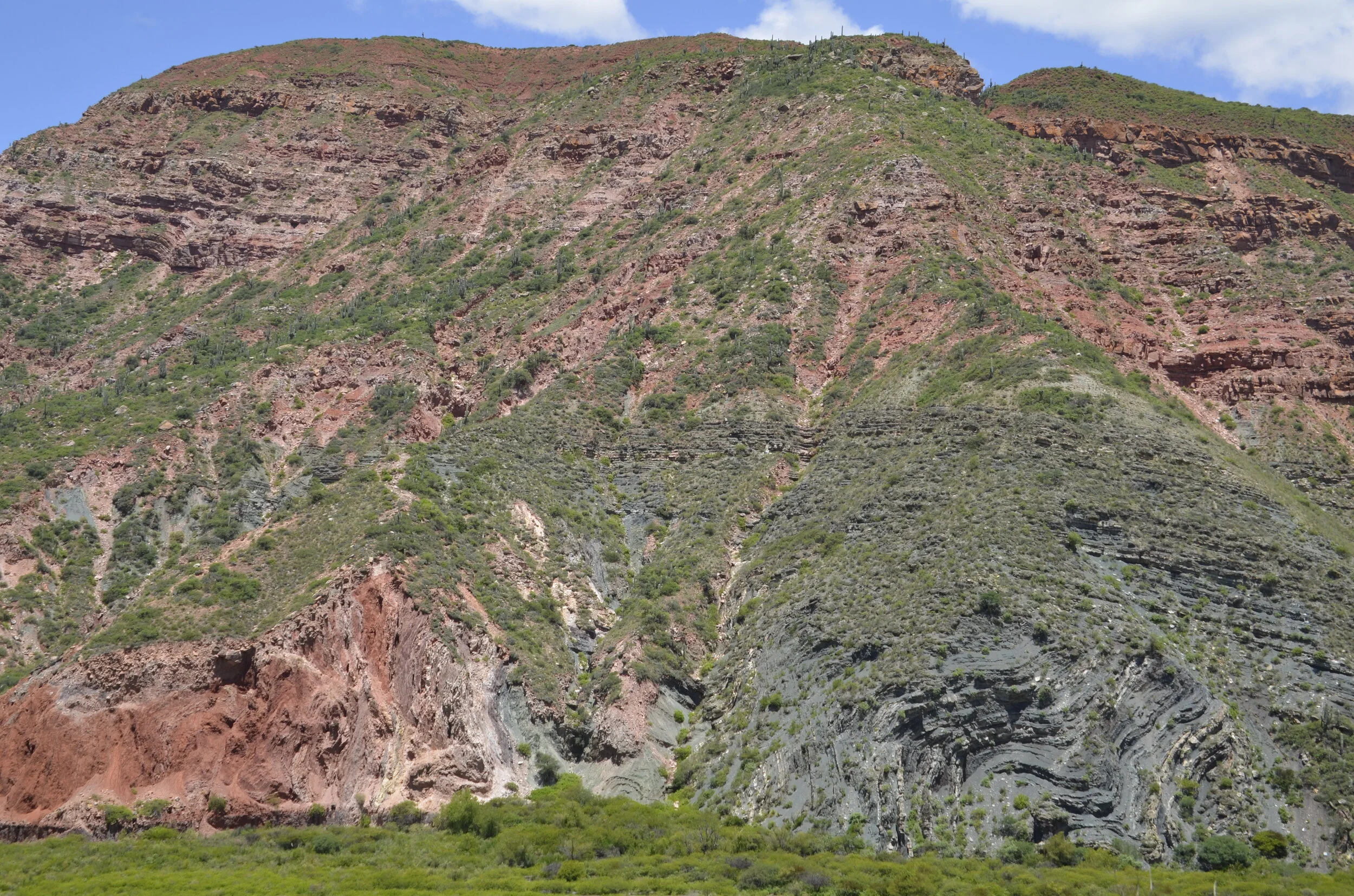
Initially the scenery was of small rural towns, but it later morphed into the Argentinian version of Utah.

_DSC9736.JPG

The tan stripe at the bottom of the hill on the left is a river. All the rivers that we’ve seen throughout the northern half of the country (even by air) are brown. Across the road from the vista above, was another common Argentinean sight - vineyards worked into every little bit of arable ground:

_DSC9742.JPG

I liked this next shot just for all the pretty colors -

_DSC9743.JPG

On the right, in the next picture is another brown river, along with the beautifully colored hills:

_DSC9749.JPG

Turning 180 degrees, while standing in the same spot, you can see where we had come from:

_DSC9751.JPG

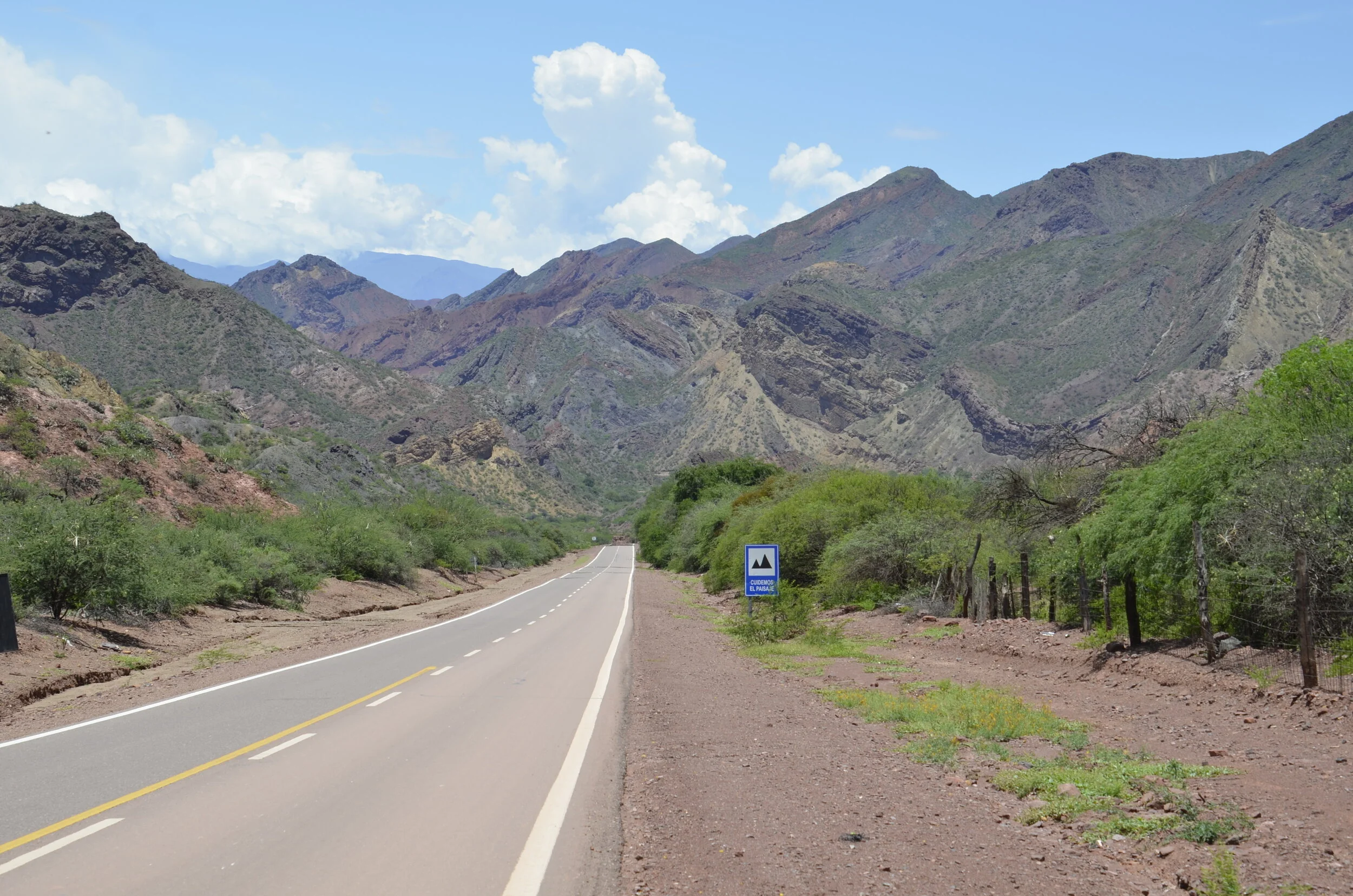
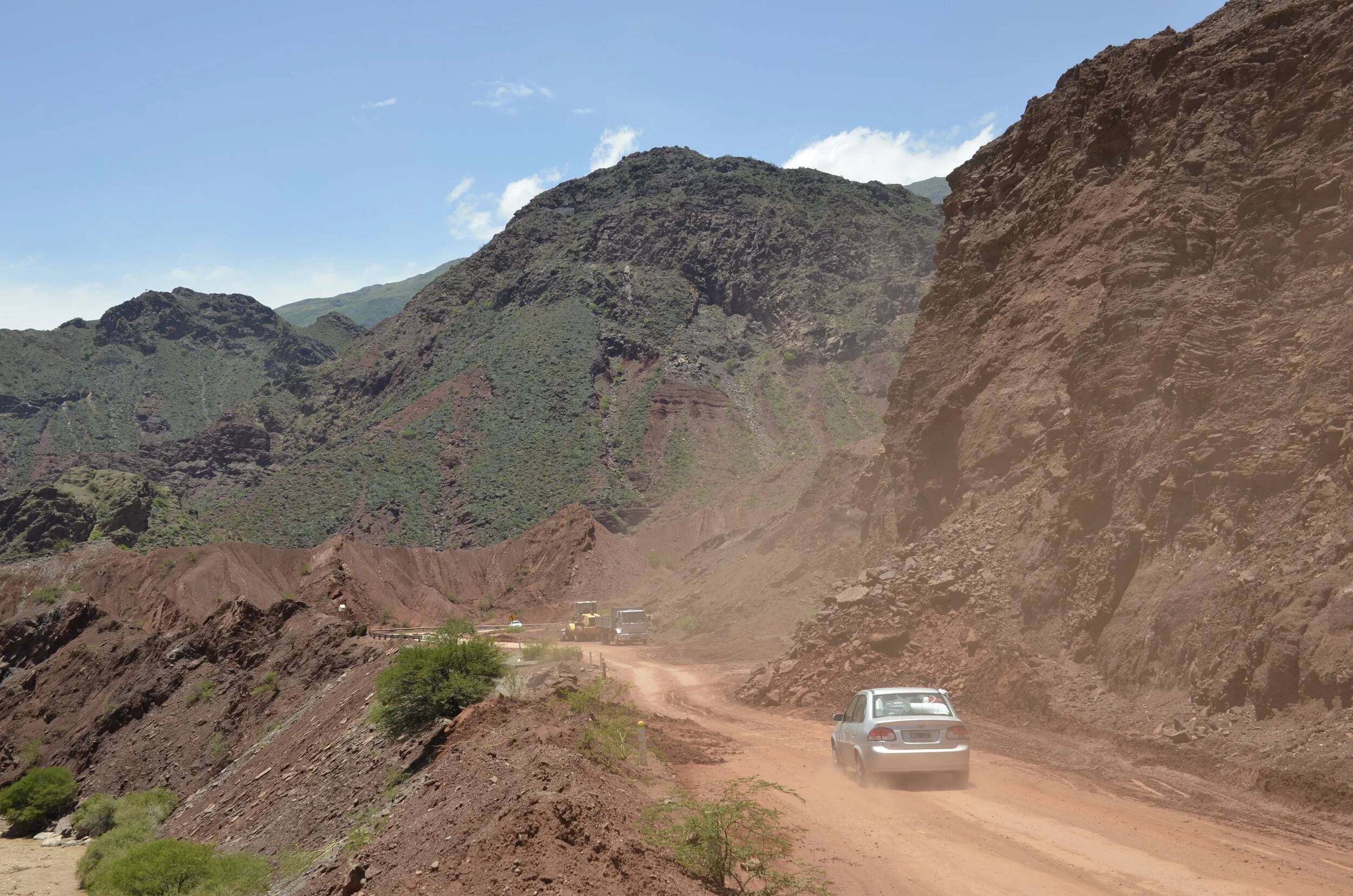
This highway (and I use the term very loosely) had frequent areas of dirt and rock slides, that were sometimes graded smooth and open to 2 lanes of traffic, but more often than not, there was only one passable lane, as shown above.

_DSC9759.JPG

As we continued down the road, we were treated to colorful rock formations (seen above and below) that reminded us of Utah or the Grand Canyon.

_DSC9760.JPG

This formation that was dubbed “the castles” definitely reminded us of Bryce Canyon:

_DSC9767.JPG

We happily settled into the Wine Resort of Cafayate, with this view out our back balcony:

_DSC9769.JPG

…and this out our front door -

_DSC9794.JPG

We really enjoyed the winery tours and tasting that we attended in the Cafayate region, especially the white wine, Torrontes, and the red, Malbec. The views from the vineyards were sweet!

_DSC9775.JPG
IMG_20200130_182423.jpg

I’ll try and send another post soon!