Wandering on the Kenai Peninsula
We left Seward and headed north and then west across the Peninsula. Kenai Lake was a startling turquoise.
Here is a map of the Kenai Peninsula, so you can see places I’ve referred to:
We spent the night in Soldotna at an RV park on Funny River Road (we liked the name). The promised RV picture:
The town of Kenai was off the main highway, but we took a side trip to it, to check out the sights. Russians settled there in 1791, building a fort that was an outpost for trading fish and furs. The Russian Orthodox religion took root, and Kenai’s oldest buildings are Orthodox related.
Holy Assumption of the Virgin Mary Russian Orthodox Church (1894)
The Chapel of St. Nicholas (1906) was built as a tribute to Igumen Nikolai, the first missionary in the Kenai area, who is credited with bringing the smallpox vaccine to the Kenai Peninsula.
Across Cook Inlet you can see 3 large volcanoes (I was only able to get 2 in one shot), with the most prominent being Mt. Redoubt.
It last erupted in 2009.
I don’t know about you, but I had never seen the Alaska state flag. I’ve tried several times to capture it. It shows the Big Dipper and Polaris (the North Star).
Before we got to Anchor Point, where we took the bear viewing tour, we took a short detour to another picturesque church - Holy Transfiguration of Our Lord Russian Orthodox Church. It was sitting out on a bluff almost all by itself. It’s still an active church.
As we were driving, I was continually scanning for moose, that the roadside warning signs kept hinting of, with nary a one. But…I finally spied them, and it was a cow with her twin calves. Of course, by the time we got turned around and went back to get pictures, they were spooked and headed off into the brush.
Anyway, I got more candidates for my butt collection.
That beauty above landed in a tree just above us as we were out for one of our evening constitutionals.
After our bear viewing trip, we drove on down to Homer, which is on the southern tip of the Kenai Peninsula, on the west side (maybe look at the map at the beginning of this blog again?). There was a gorgeous approach from the highway…
The next picture shows the Homer Spit, which is a 4 mile extension into Kachemak Bay, that was most likely formed by a glacier pushing the land in front of it, then retreating.
Steve and I walked along this, marveling at the views across the bay -
…while trying to ignore the traffic, shops and too many tourists (even in COVID times!). We decided this reminded us of Myrtle Beach, SC, but with glaciers.
This was the view from our RV site. It felt like condo renting on the beach on the Gulf of Mexico…
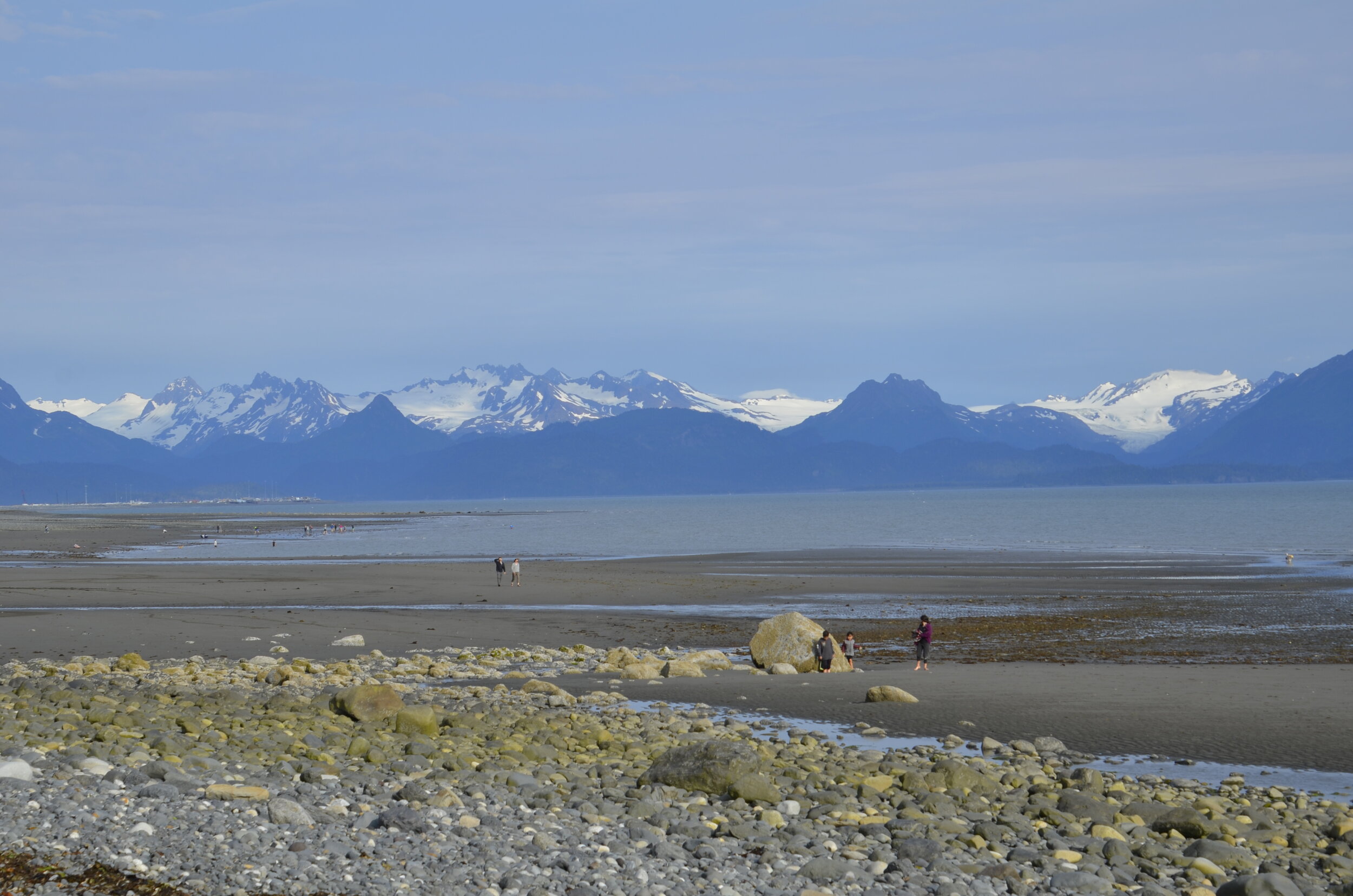
…but with a HUGE beach to wander for miles on, with awesome backdrops.
The pictures above and below were taken at low tide. How cool is that? —
Those pictures were taken about 7 pm. The “midnight sun” here has really done a number on my internal clock and sleeping. I have to wear a sleep mask, so I can sleep past the sunrise at 0400, and go to sleep by 11 pm, with it still twilight. This was taken at 10 pm:
The next morning we went out walking on a trail just off the beach in some wetlands…
…and were treated to a Sandhill crane and her chick. They drank in unison from the stream -
What cute stubby wings and knobby knees (and crane butt!) -
This is the same beach but at incoming tide:
We’re now headed for 4 days off the grid in Denali National Park. I’ll close with this neat shot of beach rocks that looked like some kind of painting.


