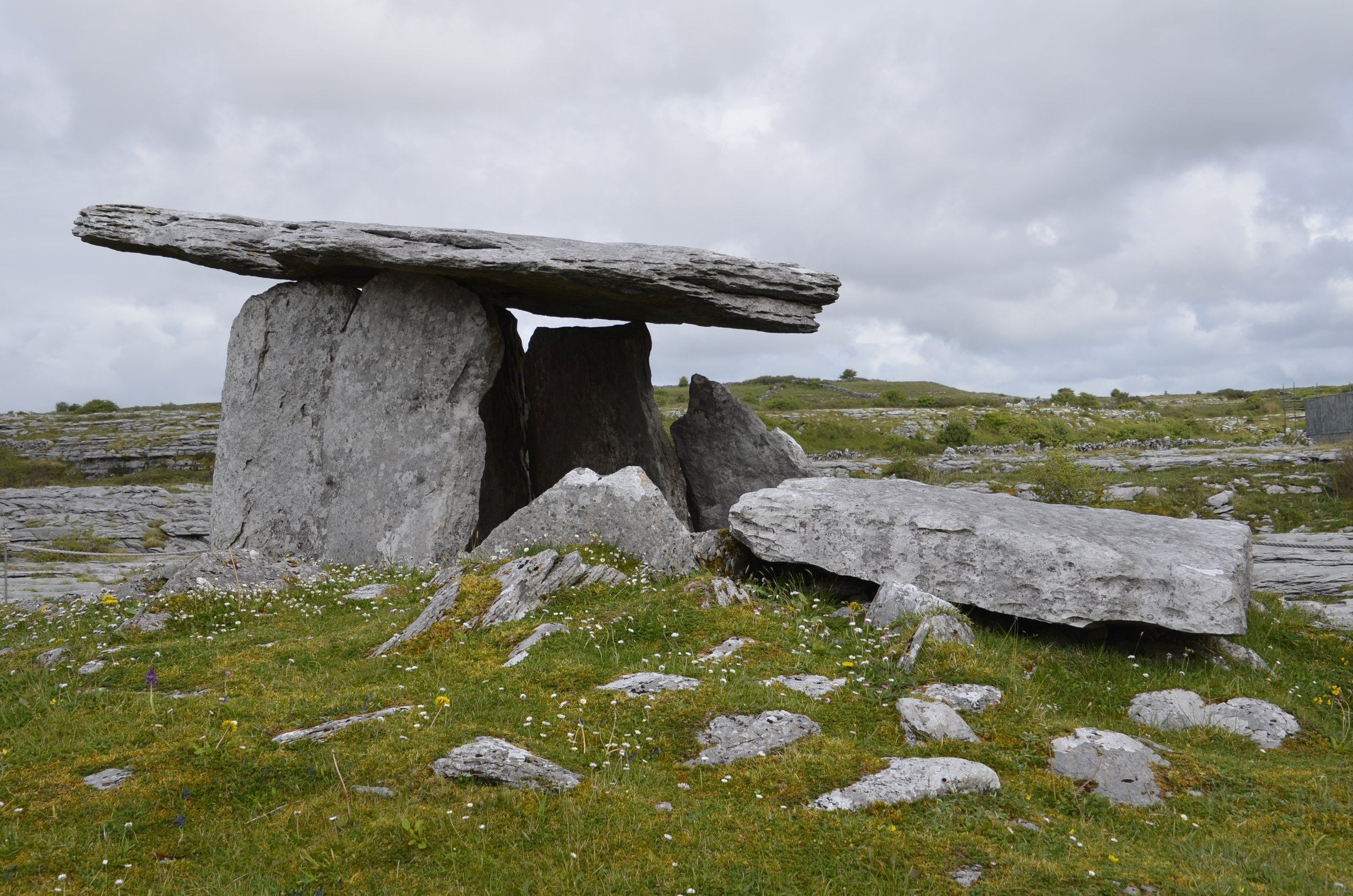
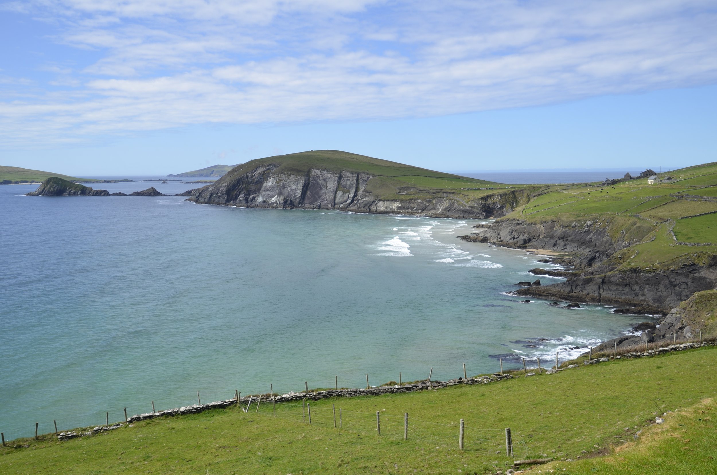
Interesting weather for hikes

“Interesting” is not a desired descriptor of weather when you’re hiking in Ireland. We visited Connemara National Park to hike Diamond Hill.

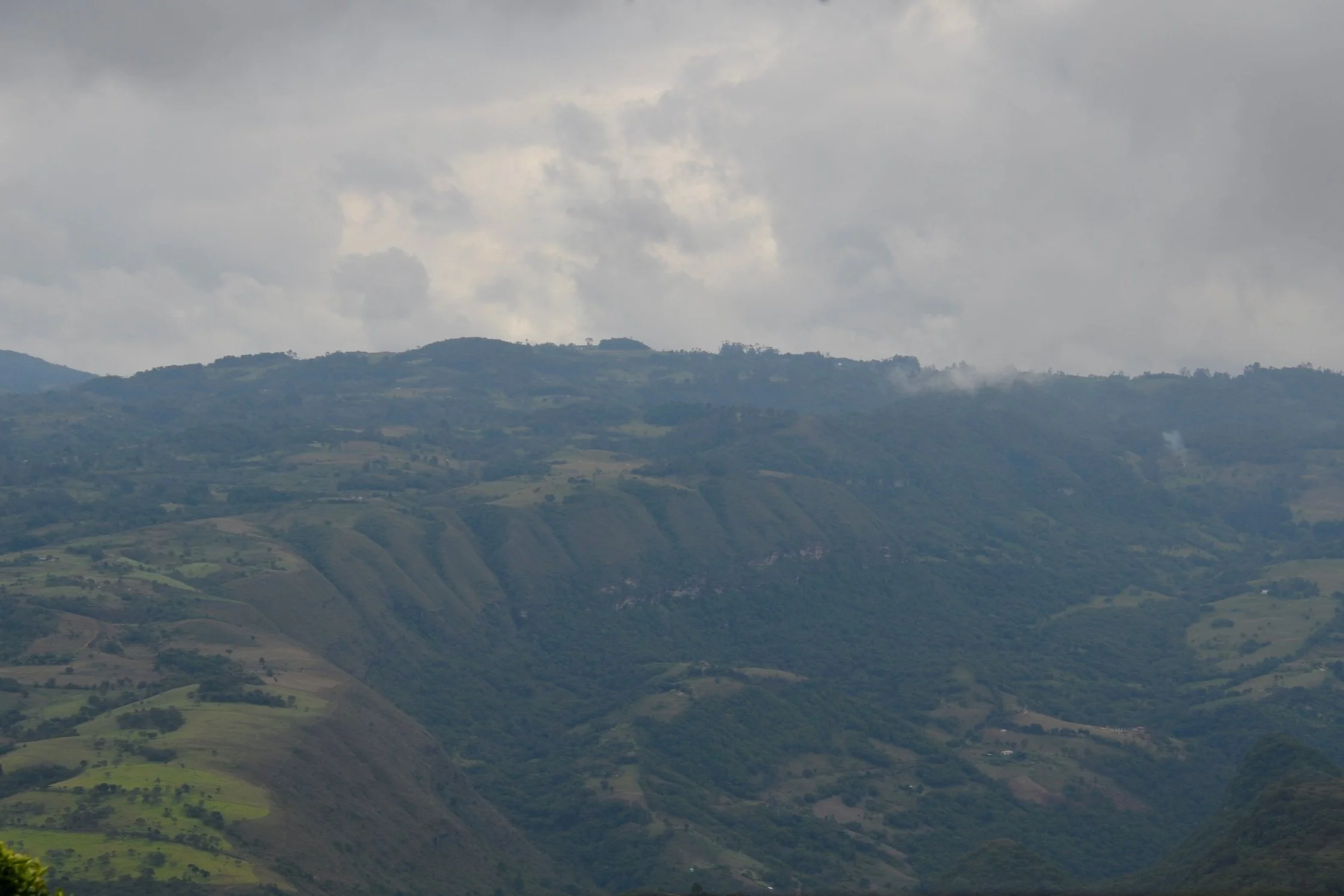
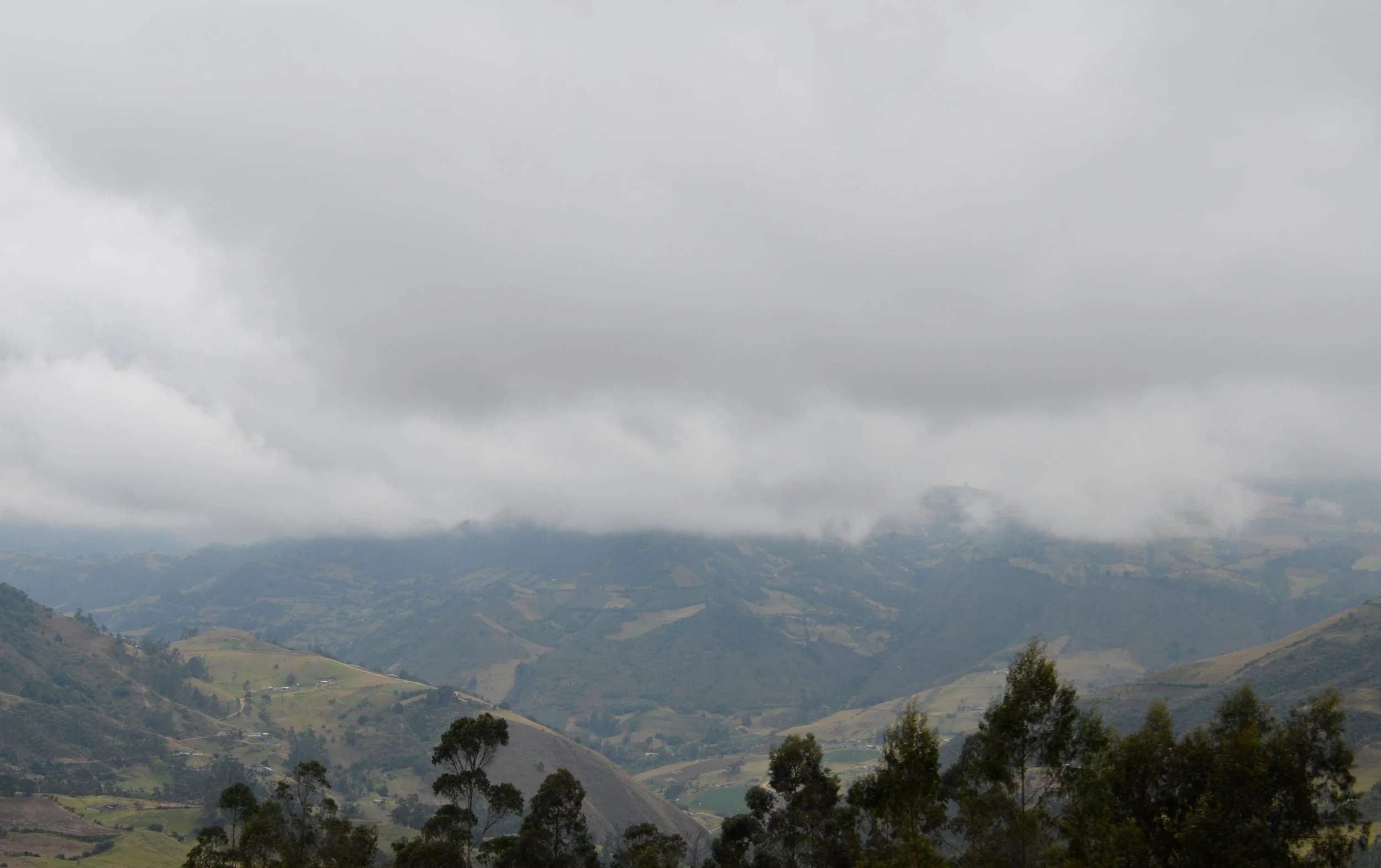
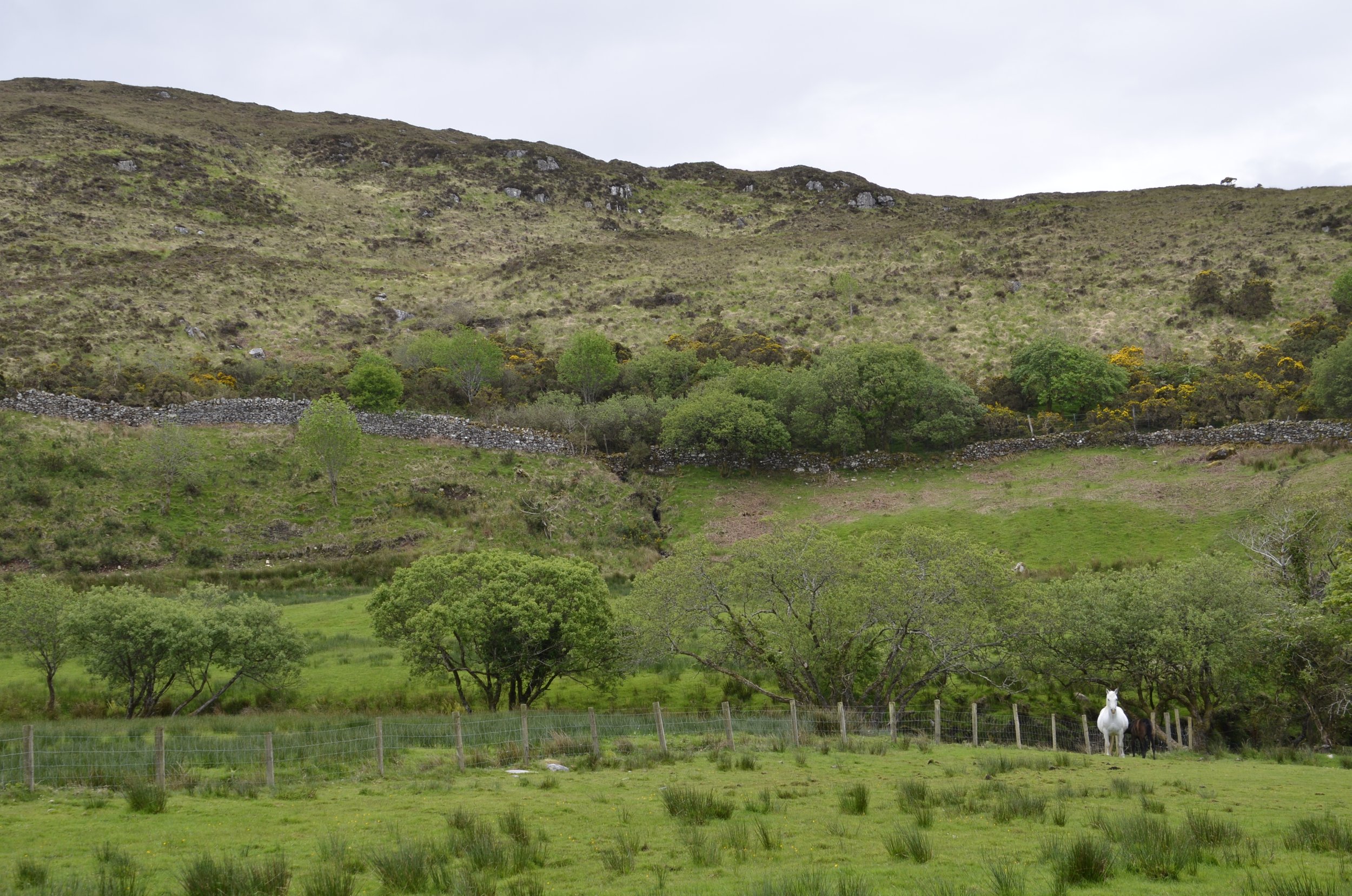
As you can see, the weather wasn’t very welcoming when we started, but it changes quickly here, so we set off. At the base, everything was green and inviting -

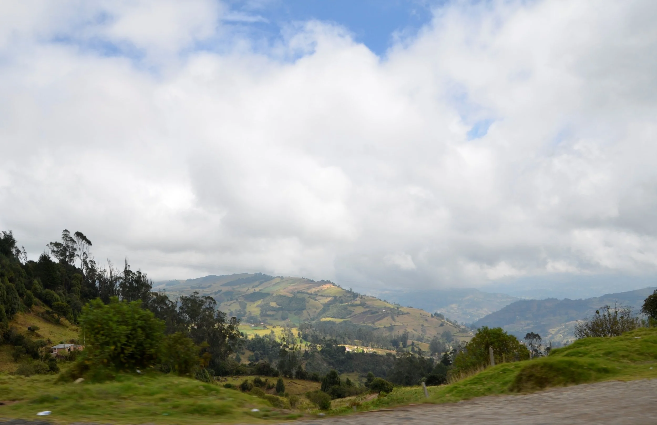
As we climbed higher, you could see farther and we took hope from the patches of blue sky -

Near the top…

… a fast moving line of clouds drenched our legs and (adding insult to injury) pelted us with sleet!

As quickly as it came, it was gone and the sun came out for the rest of our hike.

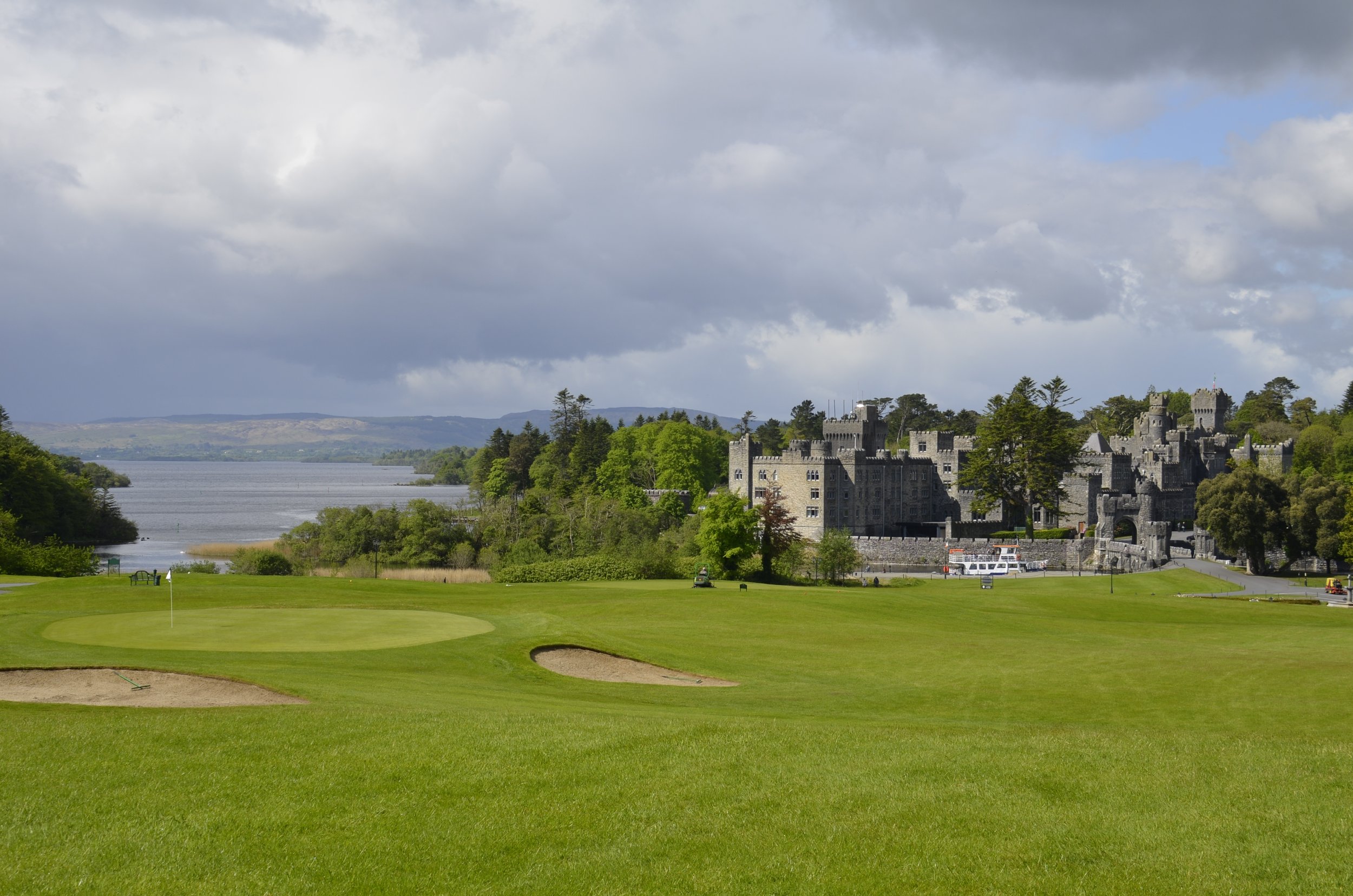
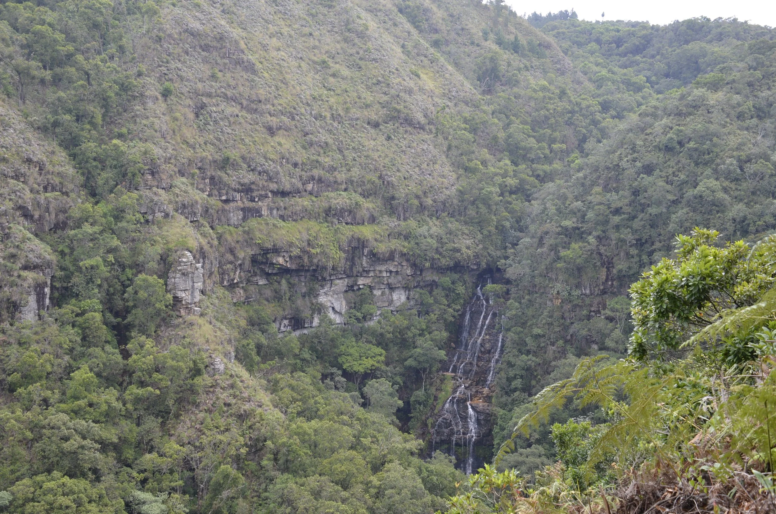
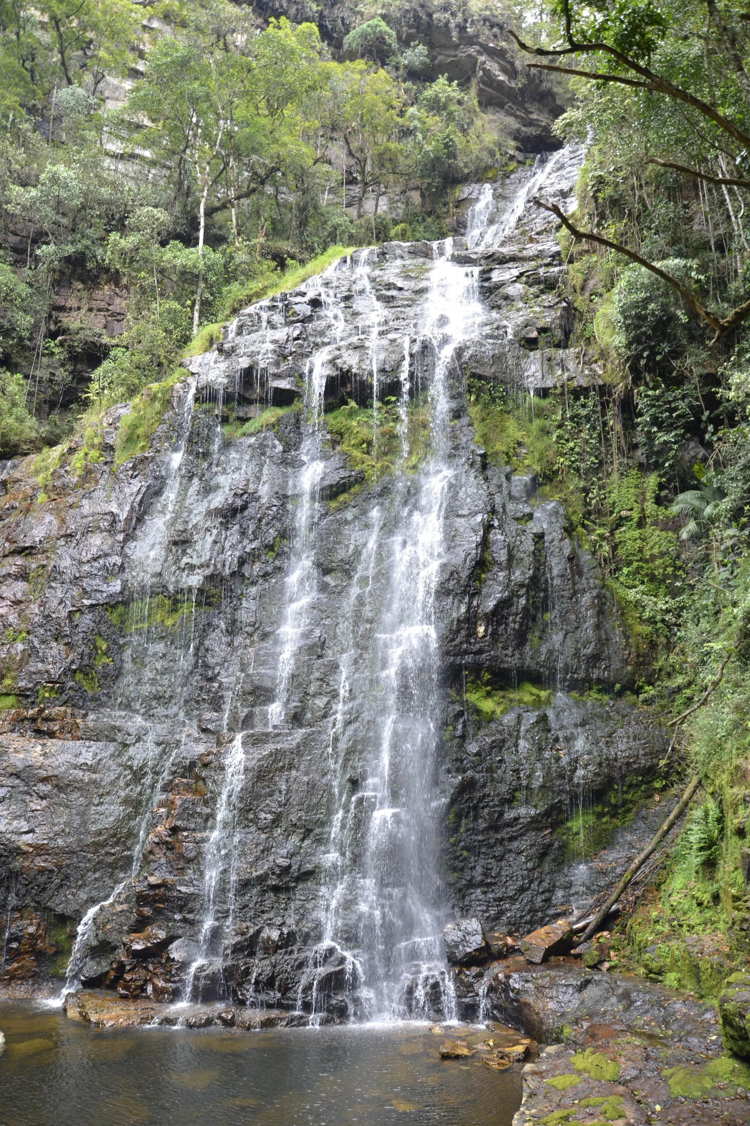
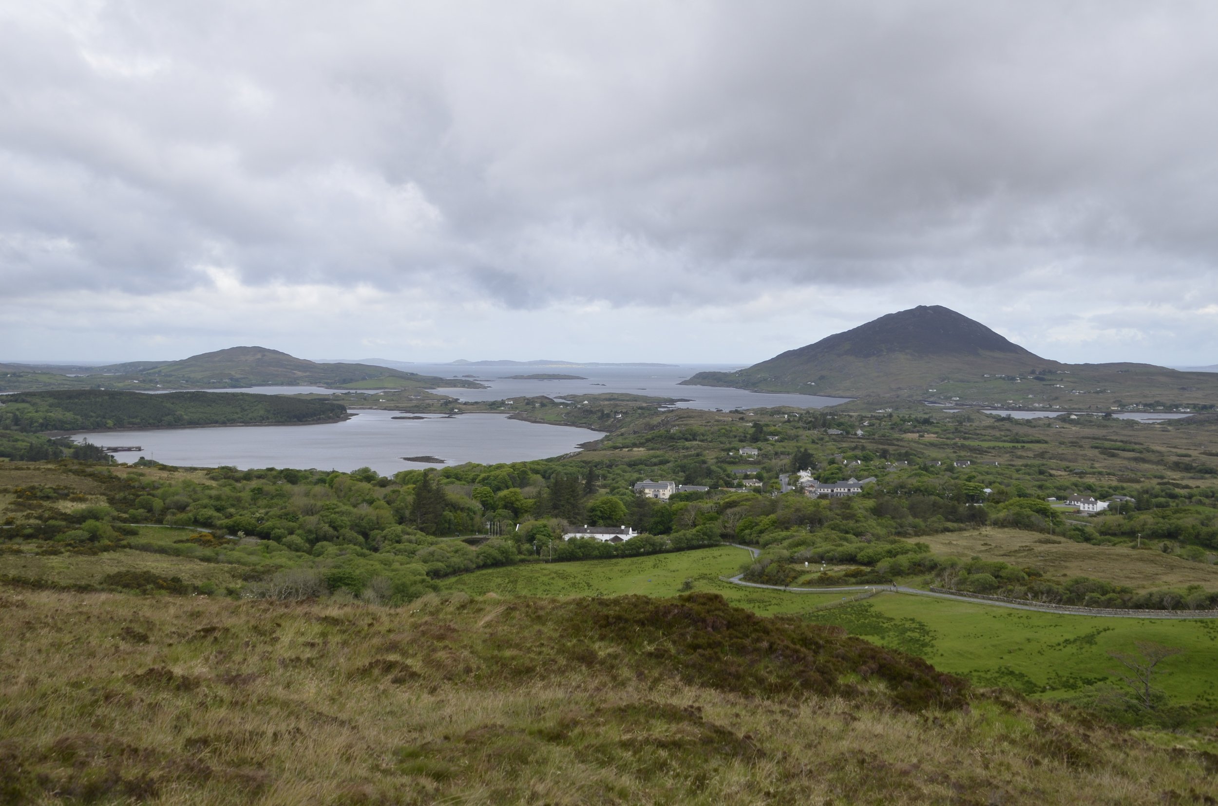
Kylemore Abbey from above -

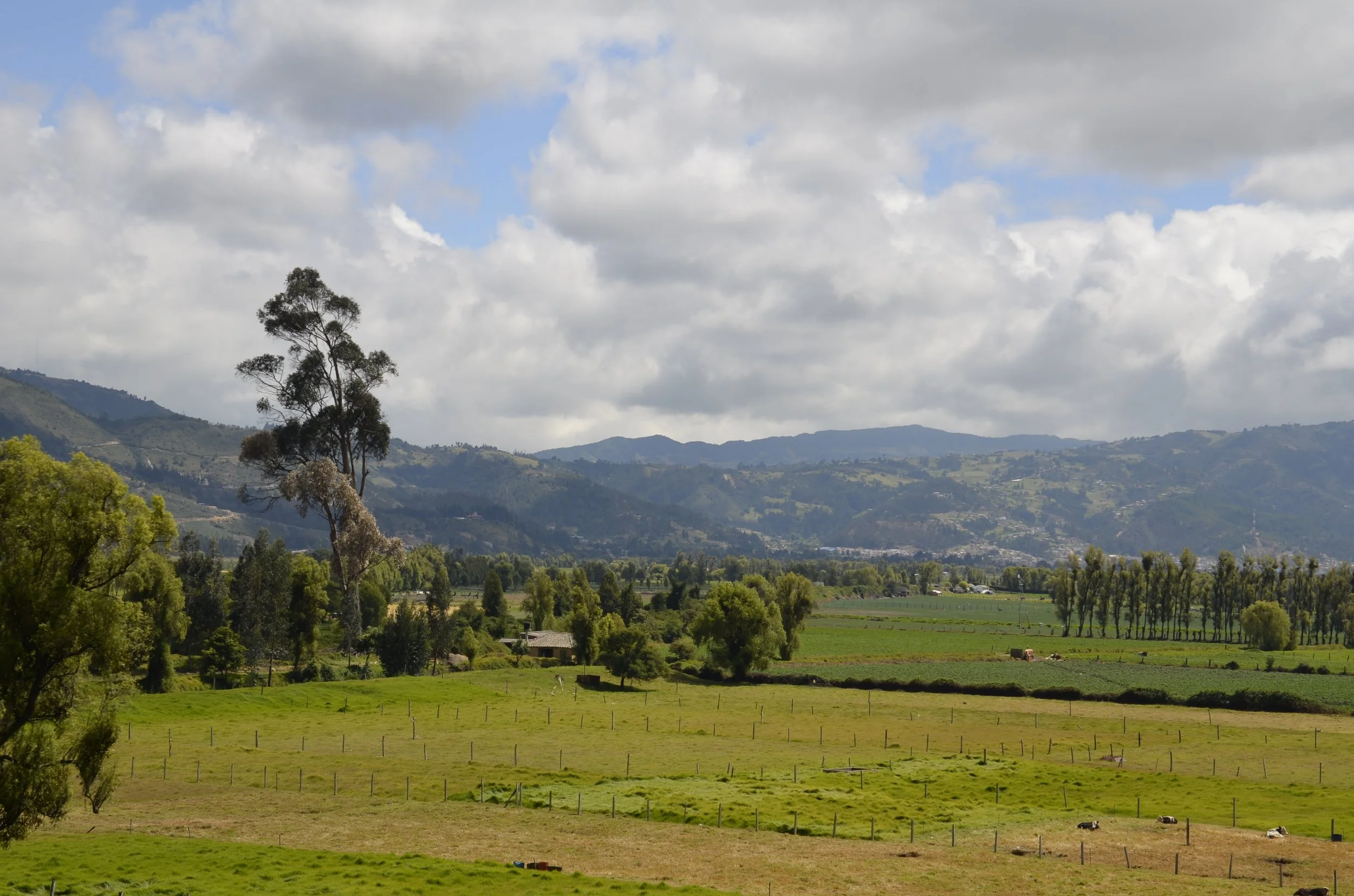
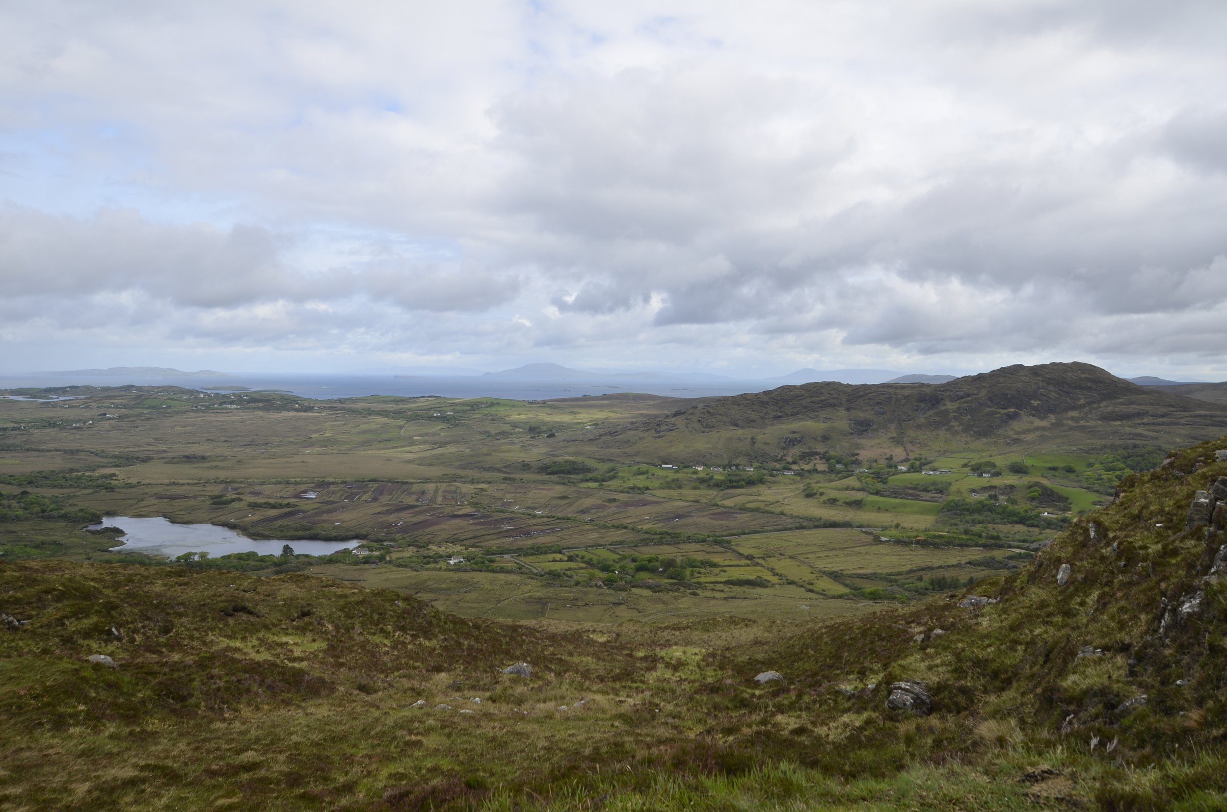
The path down off the hill on the back side wasn’t nearly as pretty, but it was sure expansive -

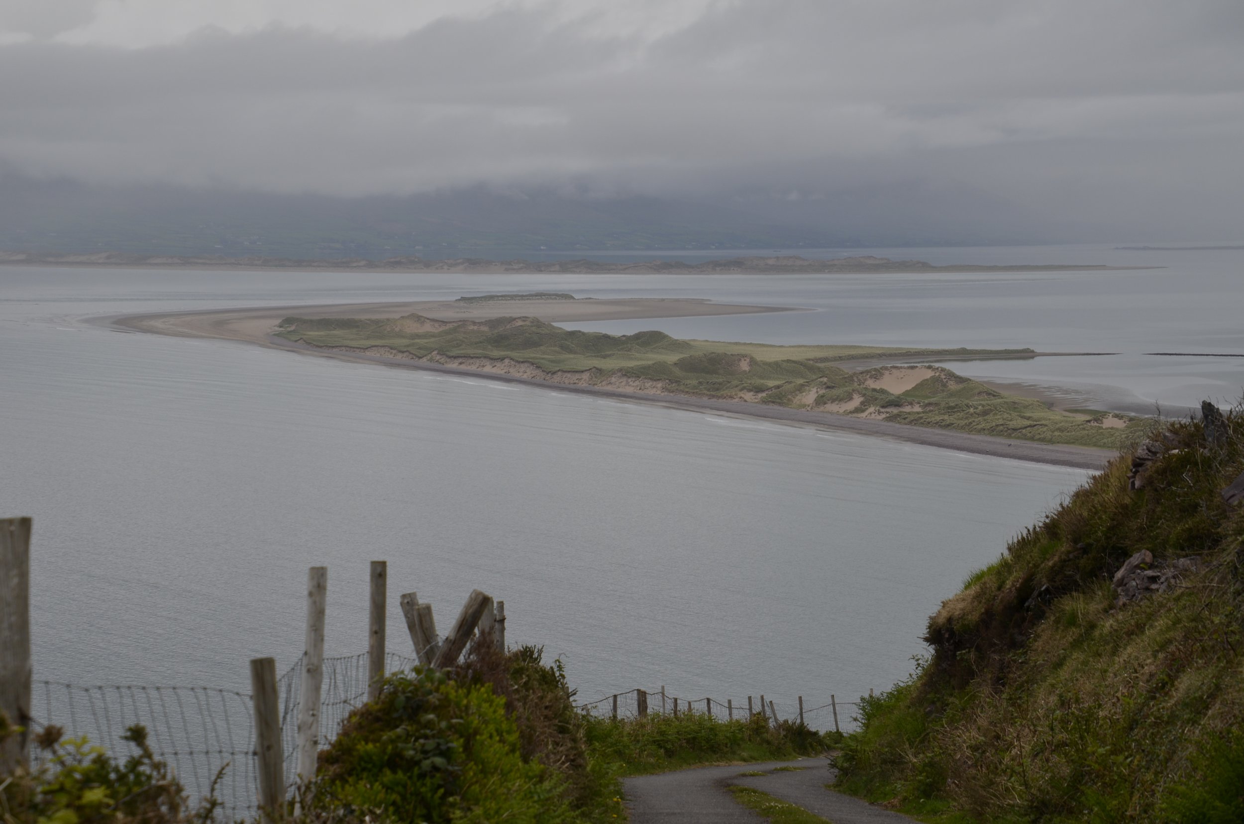
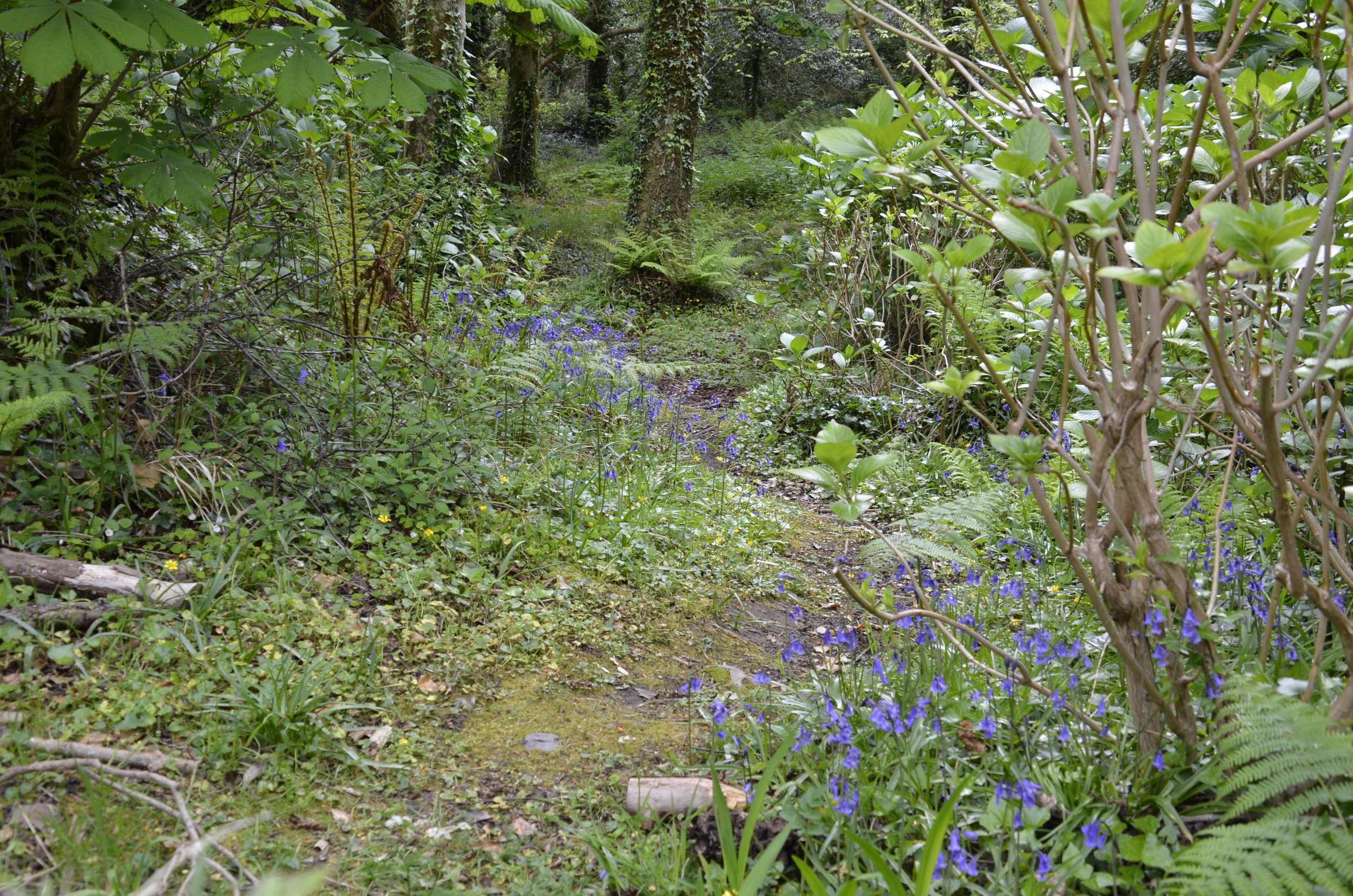
We then drove back along Killary Fjord…

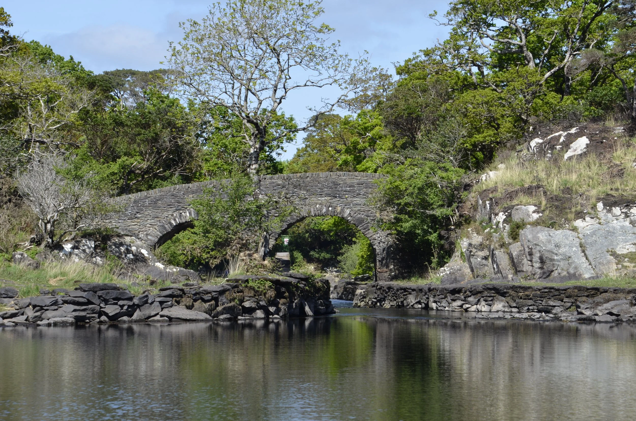
… and passed through pockets of lushness…

… before climbing up past loughs as the clouds moved in again.

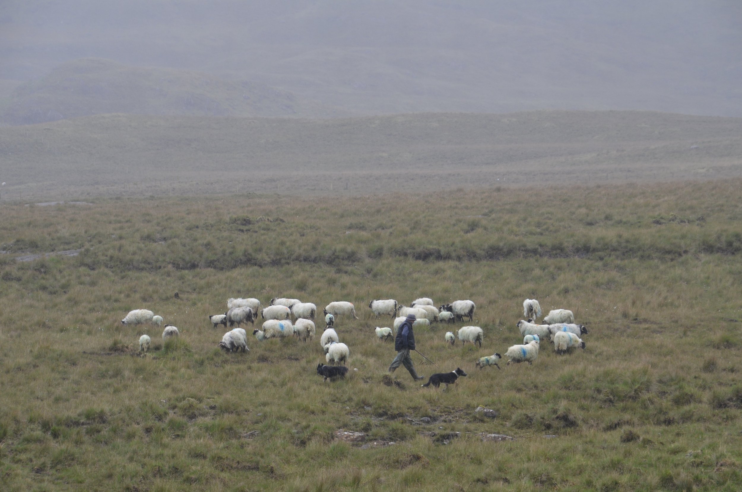
We also passed by a farmer working with his dogs -

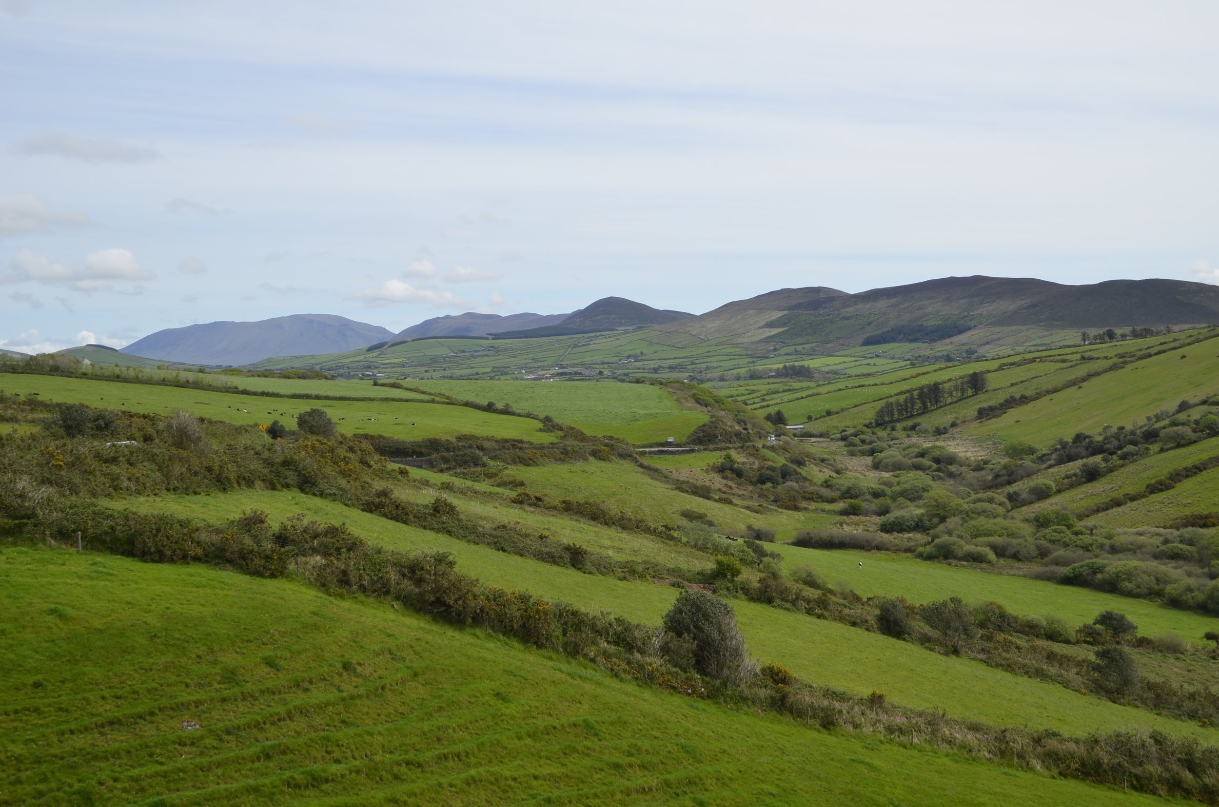
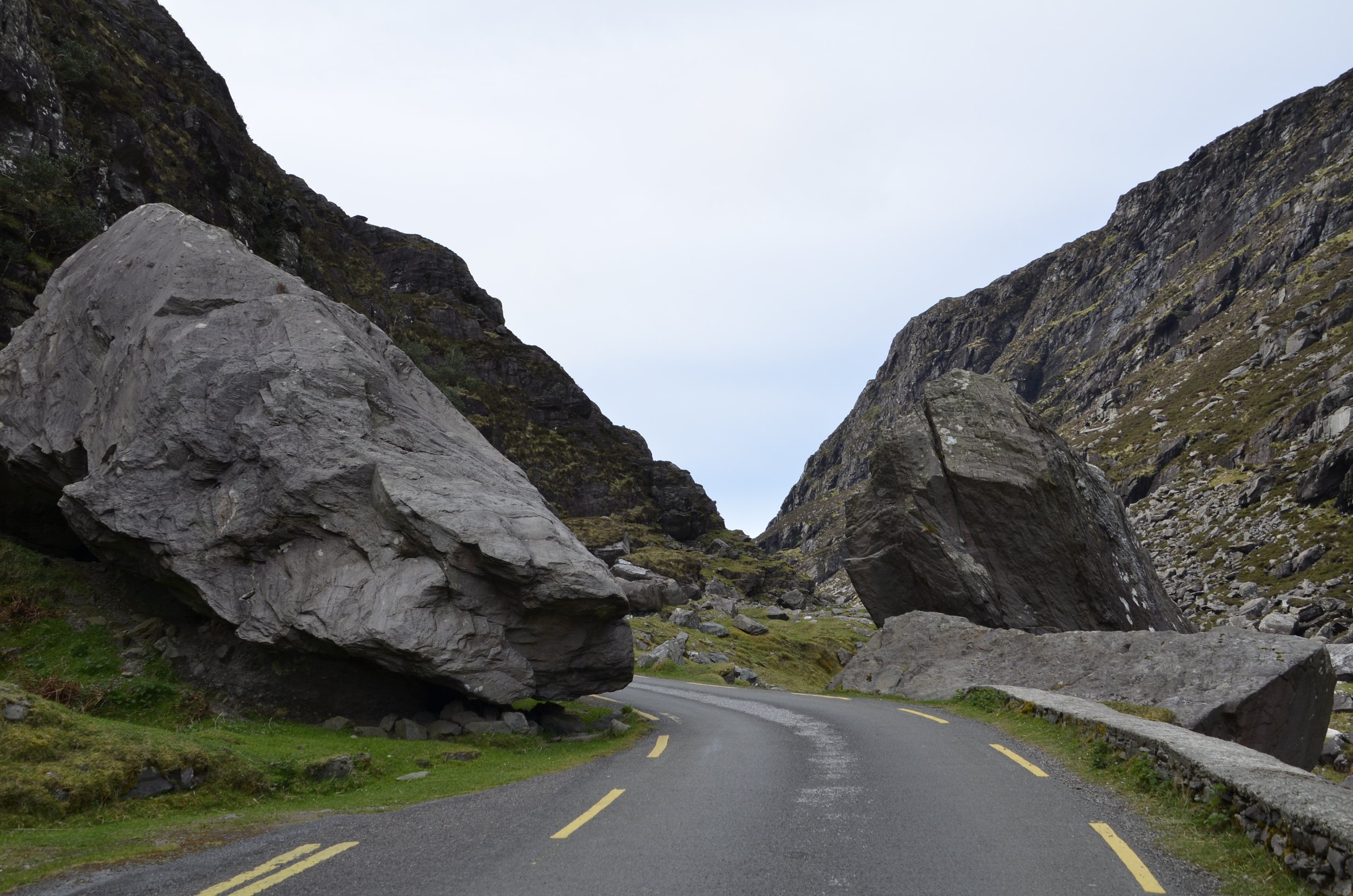
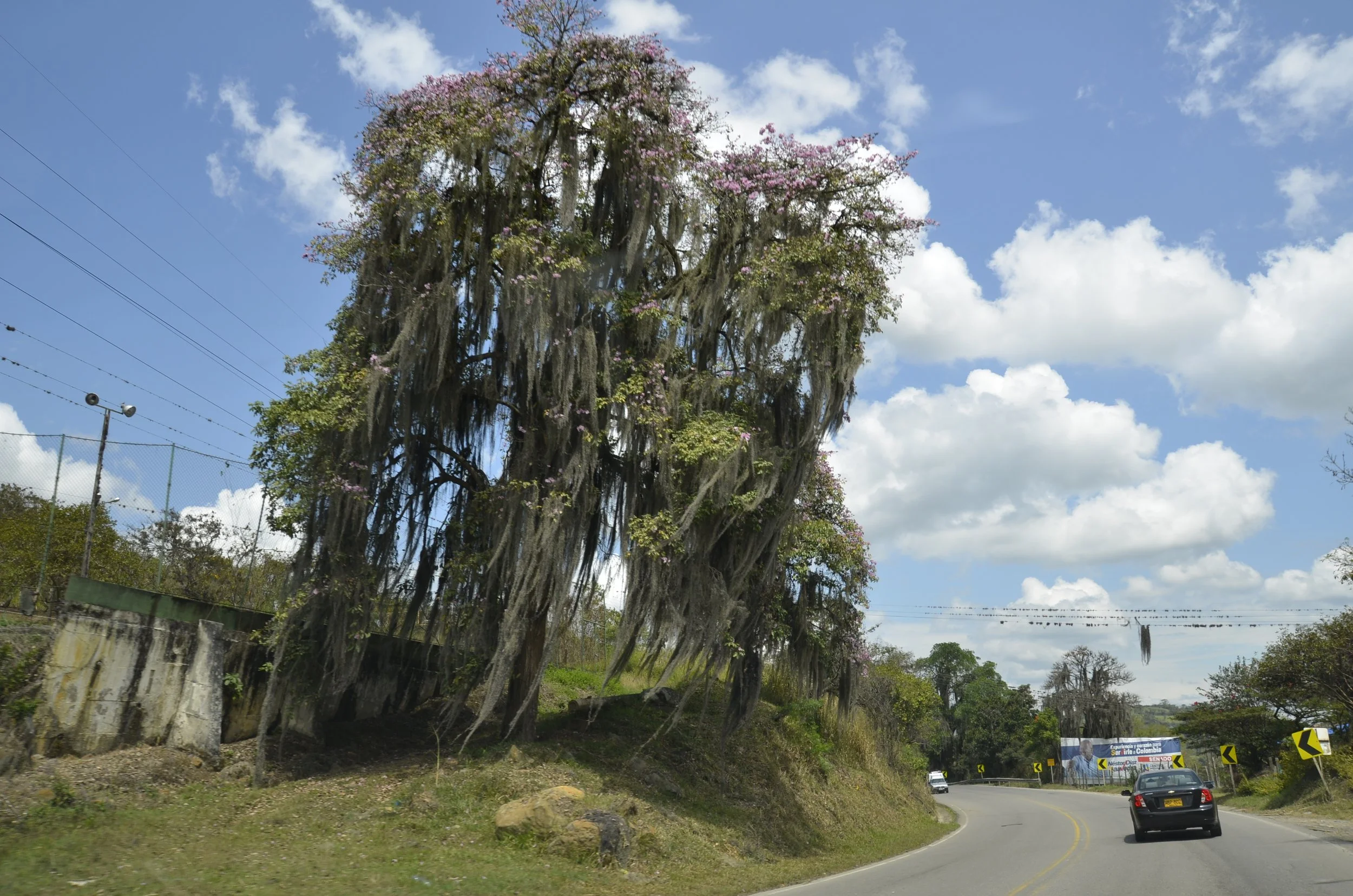
We drove on many narrow roads on our travels…

… and met or passed many tractors both out in the countryside as well as in small towns.

Our next day was another big hike - up Croagh Patrick. The Diamond Hill hike was a baby (1300 ft of ascent over 4 miles) compared to Croagh Patrick (2400 ft of ascent over 4.6 miles).

Croagh Patrick is considered a holy mountain. Legends note that St. Patrick spent 40 days there for Lent, and archaeologists have found that there have been chapels at the summit since the 5th century. Thousands of people summit the mountain in late July for an annual pilgrimage.

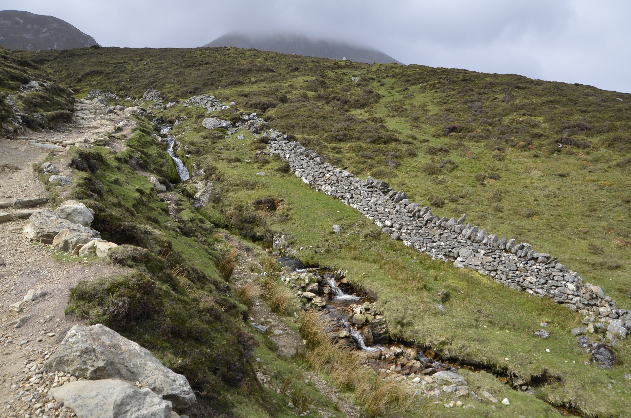
It was pretty enough when we started…

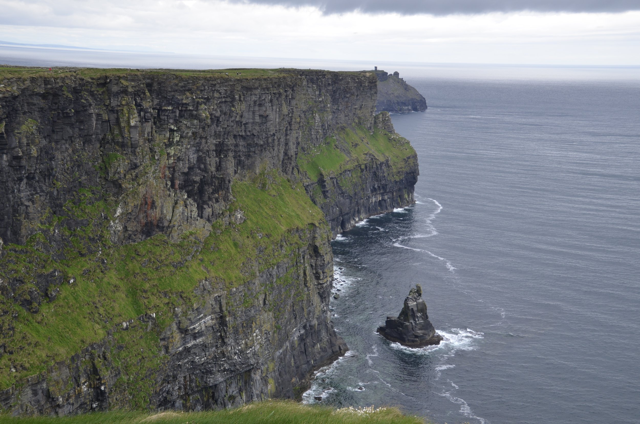
… and the beautiful blue of the Atlantic kept teasing us -

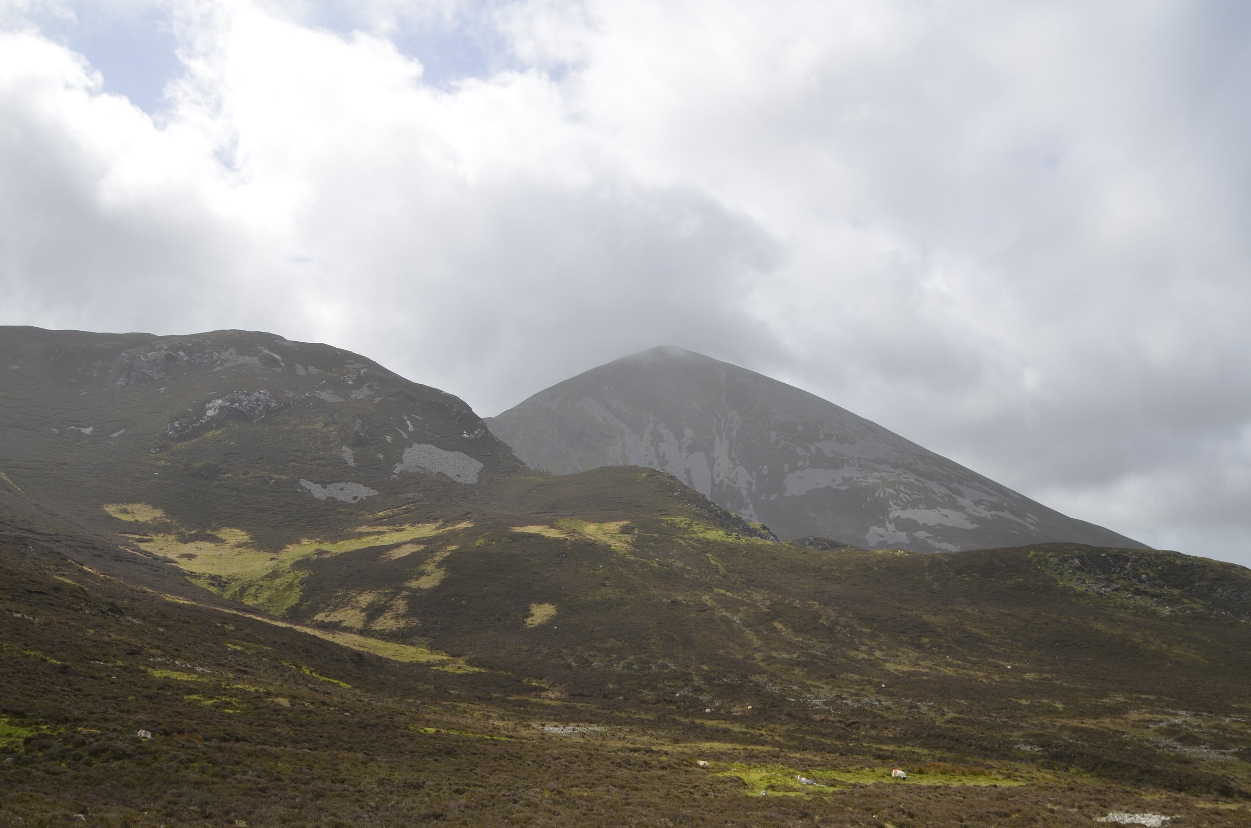
Soon enough, we were climbing into the clouds -

(see the tiny people on the path?)

Woohoo! We made it to the top!

Apparently, there are gorgeous views from up here…

As we descended, we started seeing green…

… and then beautiful blue skies -

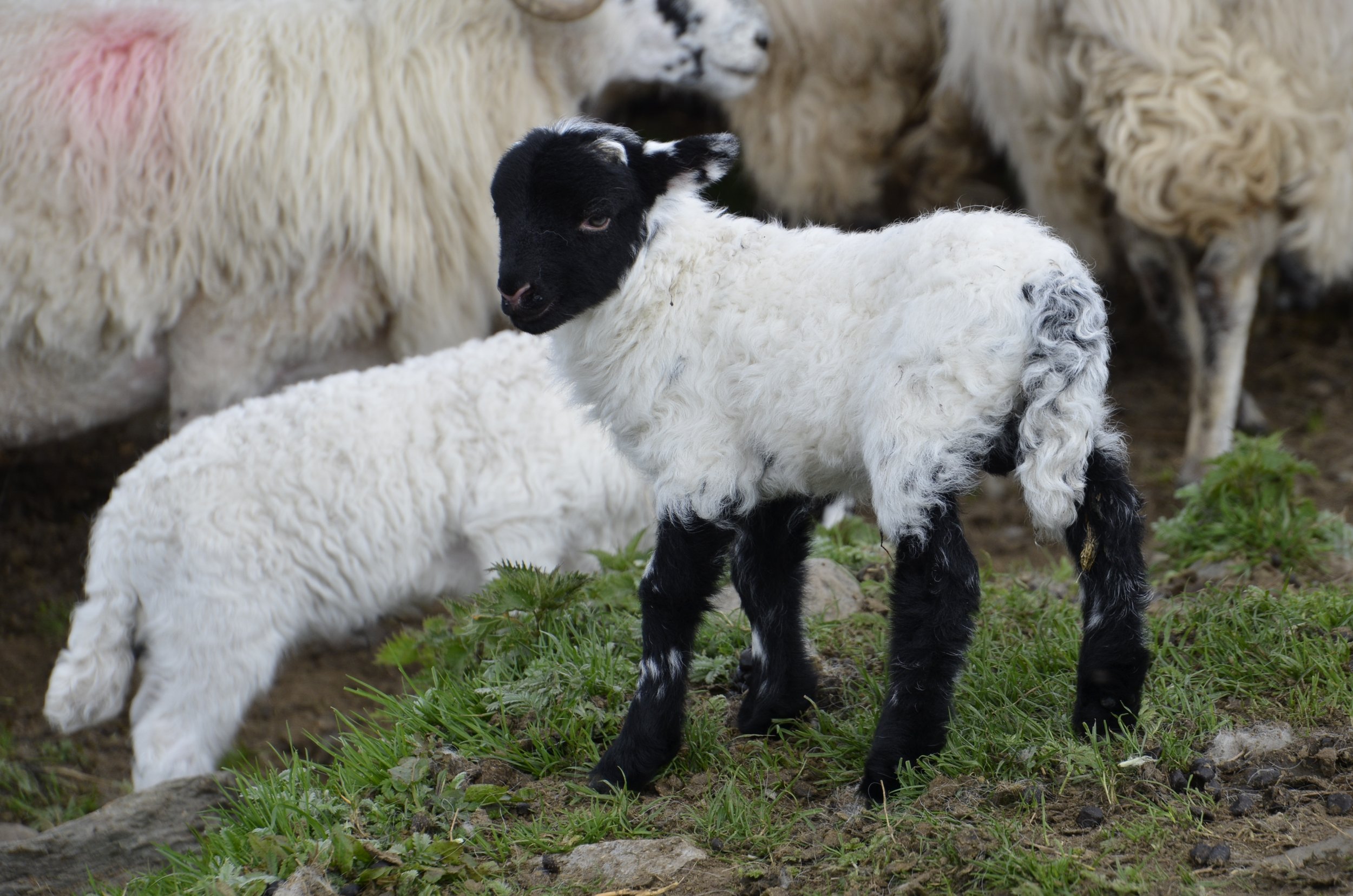
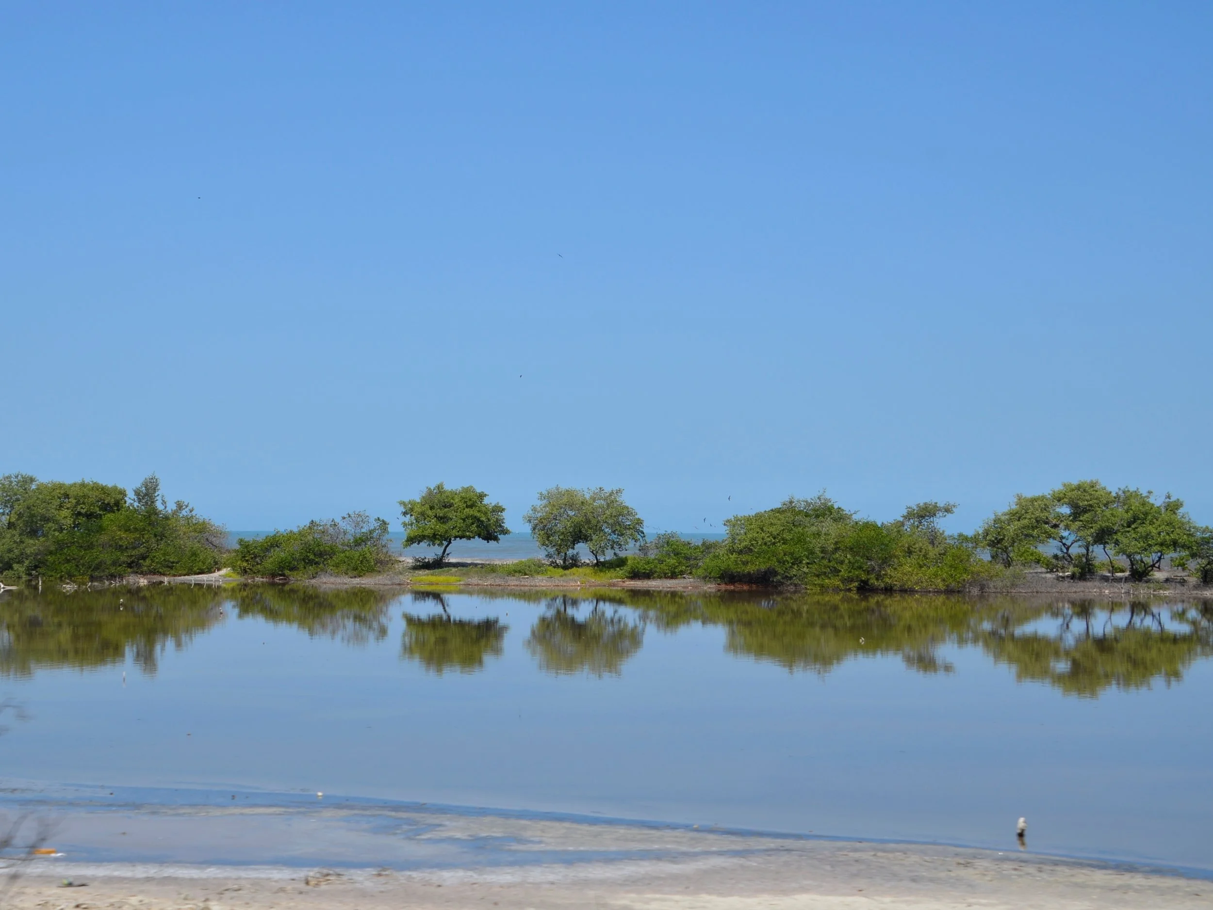
I guess I should have saved the picture of the little lamb to close this post, since I don’t have a real fitting one at the end of this long hike. You’ve also seen enough pictures of pints and whiskey pours, so instead I’ll give you a taste of a sunny day in County Mayo, which will be the focus of the next blog -

Unique activity

I need to start this post with a cute little guy that we saw a few days ago. He was so young that he still had his drying umbilical cord attached!

Now back to the topic at hand. Friends of ours who had been to Ireland before recommended that we visit Ashford Castle…

… because of their offerings:

Frodo was my buddy for an hour -

He is a Harris hawk, and they are used at the school because they are social birds, and easily acclimate to humans.

His talons look quite fierce, but I didn’t feel anything through the thick leather glove. He only weighs about a pound…

… and it would barely register when he came back and landed on my hand. I expected a much more forceful thump. :)

They come to associate an outstretched arm as a perch, and know that there will be bits of mice in the glove as a reward for returning.

In the picture above, you can see the bells that the handlers use to find them in the woods, but if they can’t hear or see them, there is also a GPS tracker, if one decides to roam a bit further afield. You can also see the jesses, or leather straps attached to his legs, that we held onto when we were walking to and from the barn/cage area.

For the next videos, be sure to have opened this post in a browser window -

Then Steve had a chance -

As you’ll see, it took a little longer to bring Frodo in, as the hour went by, because he was getting full.

After we headed back to the cages, we were treated to a meeting with Dingle, a Eurasian Eagle Owl…

… which had been taught to display his wings for a reward -

Hooo you lookin’ at?

I didn’t get a picture of it, but he can swivel his head 270 degrees!

We reluctantly left our feathered friends and drove along Lough Comb…

… which is the largest lake in Ireland, and reputed to have 365 islands. By the way “lough” is pronounced “lock”, similar to Scotland’s name for their lakes.

We kept on driving west through County Galway, through some gorgeous hills…

… to reach Ireland’s only fjord…

… Killary. This was the inlet, and the fjord stretched nearly 10 miles!

Nearby was Kylemore Abbey, where we just stopped to get some pictures…

… before reaching the small town of Clifden, where we were spending the night.

There was a short scenic drive above town…

… with some friendly guides at the parking spot.

There were quite the expansive views…

… as well as tidy cottages.

Closing with one of my favorite pictures of the day -

The Burren

After we left the town of Doolin and the Cliffs of Moher, we first headed east into County Clare to explore the other-worldly national park - The Burren.

I just read that it’s quite unique in its plant life, with Arctic, alpine and Mediterranean plants living side by side. I had taken a picture of these pretty purple-pink flowers…

… that I later found out are Marsh Orchids. That’s right - orchids in Ireland! Zoom in on the picture above and you’ll see the telltale orchid shape. All of the different wildflowers caught my attention…

… and they handled the strong winds very well.

This was a diverse collection -

… and then we wandered by a small grove of willow trees with bluebells under them.

The landscape here is described as karst, which we know in middle Tennessee as the open areas of limestone that can just pop up in the middle of a field. Well here, there’s miles of interesting formations -

We continued hiking upward…

… until we reached the top.

The winds were amazing. It was a windy day to begin with - probably 25-30 mph constant winds, but at the top, we’re guessing we were hit with nearly 60 mph blasts that almost knocked us off our feet.

We were left wondering why anyone would build rock walls in this bleak landscape -

As we descended, we were reminded we were in Ireland after all -

We then moved on to visit a dolmen.

Poulnabrone Dolmen is a portal tomb that contained bones around 5,500 years old. It is most likely that it originally was earth covered and topped with a cairn, but years of erosion have uncovered its structure.

It’s so cool that the upright stones are now only supported by the weight of the capstone.

We spent the night in Galway, but have few pictures to show for it. This was a multilevel bar we visited, continuing our roving tasting of Irish whiskies…

… and I wanted to show how perfectly a pint of Guinness can be poured, with the foam cap remaining in place above the lip of the glass. :)

Cliffs of Moher

Before we get to the main event, I want to share some pictures (no, really?!) on our way to County Clare. Leaving Dingle…

… we were headed toward Limerick…

… through the Conor Pass…

… which gets a bit narrow at times.

Yes, that is a “two-lane” road, with no pulloffs for quite awhile.

Luckily, we didn’t meet anyone coming the other way as we descended.

We stayed overnight in Limerick, and visited King John’s Castle (just ok), which gave us this great view over the countryside and the River Shannon -

So that was County Limerick. Now on to County Clare -

That’s Doonagore Castle above, with the Aran Islands in the background. They are the home of the famous sweaters you may have heard of. We unfortunately didn’t get to visit them, because the day we were planning to go, it rained miserably hard all day.

Luckily, as we drove to Doolin, the town that sits at one end of the Cliffs, the weather was decent (i.e., not raining).

The picture above is the south end of the Cliffs of Moher, where we started our 9 mile out and back hike along the cliffs. Looking north…

… you can see the scale by noticing the people at the top of the cliff in the next picture -

I think this was where…

… Steve took this picture -

[I was careful. I never stood right on the edge. ;) ]

The cliffs were just magnificent…

… and it just pains me that we couldn’t have had pretty blue skies and sun for our outing.

I loved the narrow spires -

As we approached the Visitor’s Center, which is about at the halfway point of the length of the cliffs, we started meeting hordes of people. I was still able to get the shots I wanted…

… but it detracted some from the beauty and expansiveness of it all.

We turned around when it started misting…

… because we had to return to our car. Just as we reached the end (our beginning), the sun came out briefly, brightening the colors -

This sunset the next evening helped us say goodbye to this beautiful area -

P.S. If you’re planning on hiking the Cliffs, please send me an email and I can give you good tips on where to park for your out and back trip (not relying on the shuttle bus).

The Dingle Peninsula

We started our travels this day under a very cloudy sky and rain.

Our first stop was supposed to be a gorgeous beach (and I’m sure it is on a clear day). We were surprised to see a group of surfers having a lesson -

As Steve commented, “If you’ve prepaid for surf lessons in Ireland, inclement weather is no deterrent.”

The Dingle Peninsula is one north of the Iveragh Peninsula (with the Ring of Kerry) and is still in County Kerry. Lots of stone walls, sheep and green spaces -

We stopped to see some Beehive Huts that were built with drystone corbelling about 1,000 years ago. Unfortunately, most of these were lacking intact roofs…

… but we did spy a couple up a hill on private land that appeared intact -

As we continued driving, the skies slowly cleared.

Coming around the western tip of the peninsula….

… we were treated to blue skies, sandy beaches and offshore islands.

It was just amazing how high up the hillsides that the stone walls continued -

Another beehive hut!

Just another pretty view of Coumeenole Beach -

Our next stop was Dunquin Pier (Cé Dhún Chaoin)…

… which served the Blasket Islands -

There was a placard here that had an old photo of a herd of sheep coming up that steep ramp.

Still moving on, Clogher Strand (beach) was gorgeous…

… and Sybil Head was dramatic -

Here are a couple of pictures from a typical small town (note the bright colors and the stones on the corners) -

… and this was the typical style of lettering for signage (although luckily, only rarely in Irish) -

Our final stop was the Gallarus Oratory -

This was built in the 7th or 8th century, and was so well constructed that the interior has remained dry to the present time!

This round window at the back was certainly unique -

I’m going to close with an example of some of the music we’ve been enjoying when raising a pint (of Guinness, of course!) in local pubs:

Ring of Kerry

This is a very popular drive, owing to all the beautiful sights and coastal roads.

This first place we stopped, Rossleigh Beach wasn’t too impressive…

… until we got up the road above it, and saw how extensive it was.

It sure wasn’t the prettiest day for sightseeing, but it’s Ireland after all. Ahhh, now here’s the Irish green we like -

… and some more -

The brooding look of Ballycarberry Castle fit the day well -

There were two stone circle forts nearby. Cathergall was the largest and best preserved. (The walls are laid in what’s called a dry stone method, i.e. without mortar.)

As you can see, there are steps within to reach the upper levels…

… and a round house in the middle. This fort is thought to be about 1,000 yrs old and was probably a farmstead of somebody important. The other stone fort had lower walls, but a nice view of the castle, and both a round and square house in it -

Heading to the southwest coast of the county, we reached the Kerry Cliffs.

They are not as well known as the Cliffs of Moher, which are one peninsula north, but at 1.000 ft high, they’re pretty dramatic -

Another cool ruin, on a nice beach, was Ballenskellig -

As we continued to drive around the Kerry peninsula, we’d marvel at all the stone walls. After I put the next picture on my computer, I noticed that I had captured a stone fort that just happens to be in the middle of somebody’s field.

It was also very interesting to see all the little offshore islands dotted around -

One last stone fort we visited, Staigue, had walls up to 20 feet high…

… and an awesome stone lintel -

Our last “sight” of the day was Ballaghbeama Gap…

… with the requisite stone wall -

Again, this is a two-way road, plus you have to watch out for sheep!

This was a special little spot during our travels today that made me smile -

Bluebells in Ireland mean spring.

Until next time…

Gap of Dunloe

The start of the trail was just a few minutes drive from the farm where our B&B was. The parking was at Kate Kearney’s Cottage. :) As we started, we got a close look at a gorse bush:

note the thorns!

We were a little dismayed to find the entire “trail” was along a road…

… and that we would share it with “jaunting cars”…

… as well as modern cars. Ah well, more’s the adventure! As we strolled along, we met this old codger -

… as well as watched this youngster enjoy a snack -

(reminder - if you don’t see a video below, open this email in a browser window)

As we continued to climb, the sun came out…

… to give us some pretty nice views of where we’d been.

A pause in the story here, to show you an example of some our driving conditions. The picture below was on this road that we were walking, but it is like some of the two-way roads we’ve been on -

Resuming our regularly scheduled story…

… and yet another bridge -

(I liked both the reflection and the running water)

Coming down the other side of the Gap…

… we were treated to views of this valley, and passed by jaunting cars -

After hiking 7+ miles, we were glad we had arranged a ride back by boat (rather than repeat our journey back through the Gap to return to our car), on the lakes…

… and rivers of the Killarney National Park.

I’ll close with a cute video of how we feel at the end of a long hike -

County Kerry

Continuing on with our road trip…

… we headed out of Cork Co. and up into the hills.

They grow a lot of stones here in Ireland. Everywhere the demarcations between fields are either stone walls or hedgerows (that are bushes grown over stone walls over the centuries). Sometimes the walls aren’t enough to keep the residents in:

At the top of Healy Pass…

… we looked back at Cork…

… and ahead to Kerry -

Rhododendrons and azaleas along the roadside are are common sight…

… as are subtropical plants that can live here due to the Gulf Stream preventing any frosts.

We passed a farm where the owner had just dropped off some food for the sheep, and I was thrilled to see a multitude of young lambs -

I loved the long, curly haired tail, as well as the horn buds -

Our next stop was “Ladies View” (the name stemming from the admiration of the view given by Queen Victoria’s ladies-in-waiting during her 1861 visit to Ireland) -

This is in the Killarney National Park (which has been one of my favorite areas so far, due to the sheer beauty and number of fine sights to see and wander in). Next up was Torc Waterfall, which had a gorgeous little path through the woods, up to it -

… and I kept expecting the trees to get up and start walking…

… a la “Lord of the Rings” -

Torc Waterfall —

Muckross House and Gardens was next on our list…

… and I truly fell in love with the peace and beauty there.

About a kilometer from the house (still on the grounds) is the remains of Muckross Abbey.

It was founded in 1448, and has been damaged and rebuilt many times.

The yew tree in the courtyard is reputed to be nearly 1,000 years old!

Our last stop on this busy day was Ross Castle…

… which was just ok (I think we’re getting “castled-out” already!), but it had a nice siting on a lake -

We finally got to put our feet up at the B&B that we’re to stay at for 3 nights (what a luxury!), and felt like this 3 week old calf - (if you can’t see the video below, open this email in a browser window so you can watch it)

Tipperary and Cork counties

We saw a number of sights this day and drove many miles before we slept…

The Rock of Cashel is quite impressive, even from a distance. It is reputed to be the site of the conversion of the King of Munster by St. Patrick in the 5th century. The oldest building is the Round Tower, dating from the early 12th century…

… while construction of the cathedral was begun in 1290. Cormac’s Chapel, built of sandstone, was consecrated in 1134, and is one of the earliest examples of Irish Romanesque architecture -

The interior is very unique, with bits of colorful frescoes still remaining, along with interesting carved heads -

Inside the cathedral are huge vaulted ceilings…

… that survive from the 13th century.

The surrounding countryside is peaceful farmland -

Down the hill is Hore Abbey…

… which gave us different views of The Rock -

… as the sun also played a part.

Moving on to Cahir Castle, we felt like the exterior was more compelling than the interior…

… although it did give us this great view up the River Suir -

(please forgive the blurriness, as this was shot through a window)

Leaving the lush countryside of County Tipperary, we headed to the southwest point of the country in County Cork…

… which is Mizen Head. Rather than a lighthouse, they have a “Signal Station” -

On the walk out, we were treated to some gorgeous coastline…

… and fascinating geology -

We also crossed a neat bridge…

… to reach the point.

There, we could see up the coast -

With a beautiful end to a long day…

… we spent the night in the quaint village of Bantry.

Kilkenny

On the way to our next stop, we enjoyed all the green new leaves popping up…

(those one lane stone bridges are nice to photograph but can be challenging to negotiate)

… but how you get all that green is with a fair bit of rain -

The town of Kilkenny had quaint little streets to explore -

… that were fun, even in the rain -

Once the rain broke, we wandered down to the river…

… to get our bearings.

We visited Kilkenny Castle…

… where the original part was built in 1195, and the building has been occupied in some way over the next 800 years!

(note all the chimneys - just about every room had a fireplace, or two)

There were beautiful grounds also -

As we explored more of the town, we found a familiar sight (to us) -

The Black Abbey is the name of a brewery in Nashville, and a depiction of the building is on the labels on the bottles. :)

It was originally built in 1225, with major parts added in the 14th and 16th centuries. The Rosary Window is the “largest of its kind in the country, and the last major work done in Ireland during the first half of the 14th century”.

(Sorry the corners are chopped off, but I had to edit it so it wouldn’t appear “stretched” in the post. Be sure and enlarge this to see the intricate details in the glasswork.)

St. Canice’s Cathedral and Round Tower are another set of very old buildings (built between 1202 - 1285) -

Returning to the River Nore…

… I wanted to share a picture of Matt the Millers, where we spent a very enjoyable evening listening to a blues rock cover band from San Francisco (!) who were in town for a roots music festival. We also sampled a few Irish whiskeys. ;)

I’ll leave you with my pretty picture for this post -

Spring is here!

Glendalough

We headed about an hour south of Dublin to the Wicklow Mountains National Park. It was a rainy/misty day and was definitely an early test of Steve’s driving abilities with a manual transmission and driving on the left.

As you can see, there is no center line on the road above, but it IS a two way road. It is about 1 1/2 cars wide, so when you meet a campervan…

… one of you pulls into a wide spot in the road, to allow the other to pass. This is easily done in wide open spaces, as you can see above, but it gets much trickier when you are on a narrow road between two high hedgerows or stone walls! (I’ll hopefully have a visual example of this later)

We stopped at Glendalough to get in a long hike (8 miles), and we didn’t have time to explore the ruins of an old monastic community that we walked right by.

The hike started easily enough…

… past a small lake,

… before reaching the bigger lake -

We climbed past a waterfall that showcased the variety of greens that I have been going gaga over, throughout this lovely country -

… and continued upward…

… where we met a climbing buddy -

I later found out that this is a Sika deer, which is a species originally from Japan, and was introduced by a rich landowner in the mid 1800’s as a “decorative addition”.

Looking back as we climbed upwards, the small lake is nestled in the valley -

As we reached the ridge, the “trail” became these boards with slightly elevated cable staples in them to provide traction. This was particularly welcome, as the day remained damp.

We proceeded along the large lake for a number of miles…

… meeting some more friends..

… as we continued along.

We had a brief moment of clearing, so we could admire where we’d come from…

… as well as how far we still had to go -

As we descended (we had climbed about 1800 ft), we saw yet some more furry friends but they remained at quite a distance.

This part of the hike was much rockier, but we had our finish in sight (although still several miles away) -

Finally, flat ground!

This was the last shot I got, as the rain decided to come down in earnest for our last 2 miles back to the car.

The yellow flowers are on gorse bushes, which are widespread throughout the country, and are a thorny evergreen.

Tata for now!

Dublin, Ireland

Our latest adventure brings us to the Emerald Isle. Our first two days were spent in Dublin checking out pubs…

… like the one above - with the characteristic signage and barrels out front (where locals gather, no matter the temperature, to chat and share a pint), and churches -

The one above is St. Patrick’s Cathedral, while the next one is Christ Church Cathedral:

We toured inside Christ Church, where the tile floors were really eye-catching…

… and old (about 1,000 yrs)!

(newer tiles adjacent to originals)

We also wandered around Trinity College a bit…

… and enjoyed the grounds of St. Stephen’s Green, on what we’ve come to find out was a rare sunny day.

Spring is bursting out all over…

… but if the weather isn’t conducive to outdoor wandering, you can always resort to the activity we literally started our travels with, right after dropping our bags at the hotel -

Sláinte!

Farewell to Colombia

We enjoyed our journey throughout the country, and wanted to conclude with observations that didn’t really fit into the storyline of earlier posts. This definitely is more stream of consciousness than the norm!

Lisa touched on the Bogota flower market (same parking lot as the fruit market), but didn’t mention that the ease of shipping is such that they actually package bouquets for US retailers in Colombia, which then ship from Bogota directly to your neighborhood Publix:

These apparently just weren’t good enough.

Flowers are far from Colombia’s only agricultural export. Of course, we all know about its coffee prowess, but what about blackberries? In Colombia, they are grown on a multitude of mostly small farms at slightly over a mile in altitude—and about 20% of the ~100 million metric tons produced each year are exported (mainly to the US and Europe). At first glance, we thought these were grape vines:

When you are serious about growing blackberries!

It is amazing what a bit of rain will do to your travel schedule when you are flying out of a minor airport. Our first week, before heading to the airport in Nuqui, we had fairly heavy rain—not unexpected for the Pacific coastal rainforest! But, no flights landed during the rain, which resulted in a 2 hour delay for our departing flight—which of course led to landing 2 hours late in Medellin. So instead of driving out of the Medellin Airport at 1:00p.m. on a Friday afternoon, we departed after 3:00. Then there was road construction, then blinding rain and hail in the midst of rush hour…. So, our 3 hour drive turned into 4.5 hours and we arrived in Jardin almost 4 hours later than planned. Ahh, man plans and God laughs!

During the period of our first car rental (Medellin, to Jardin, to Salento), we were continuously driving through the mountains, complete with periodic road signs warning of rockfalls and seismic activity. As a result, the roadway was frequently under repair with closures and alternating one way traffic—to the point where we began to wonder whether the patron saint of Colombia was “Our Lady of Perpetual Construction.”

Driving in Colombia is more “interesting” than Iceland or Spain, but not too bad. Many traffic circles, but people generally are alert and not only yield, but let others in. The speed limits are low, but the roads are generally too curvy and hilly to call for speed (in fact, they are so curvy that we unfortunately learned that it is possible for a driver to get motion sick).

Any speed limit is simply aspirational …

On the modern highways, 80 km/50mph starts to seem slow at times—but your car will beep annoyingly at you when you go faster. The road signs are mostly easy to decipher…

Well, except for this one. It doesn’t mean that you are getting sleepy…. Rather, “Dim your headlights!”

The one big wrinkle is the motorcycle traffic. There are many of them, they pass on both sides in slow traffic—and although they go only one way (at a time) on one-way streets, it isn’t necessarily the same way as the traffic flow, which keeps you on your toes as a pedestrian. If you are a motorcyclist, however, and can arrange to rent one in Colombia, it is probably the best way to get around—especially if you are traveling alone or moving horses.

Bonus is that motorcycles pay no tolls and and have a special diversion lane to skip the lines at the frequent toll booths. Everyone else should ensure that you have plenty of cash on hand before hitting the road. This also helps if you experience a small town with sneaky speed limits that assesses cash fines on the spot…. Not to admit that we have any personal experience!

Oh, and if you are like Steve and tend to cheat to the right when driving, Colombia has a nifty way to deter you from that:

This storm water diverter and its many siblings, some of which abut the white line, will easily win in the event you shade too far to the right!

Colombia also has a very active bicycling culture. No matter what type or pitch of road you are on, you will see bicyclists—ranging from lycra clad enthusiasts to farmers taking their goods to market on three wheelers.

Bogota has famously taken the country’s love of cycling to great heights with its Ciclovía:

A small slice of a VERY big event. I wish we would have had time in our schedule to rent a bike that morning!

Since 1974, the capital city closes down a good chunk of streets every Sunday from 0700 to 1400 for bicycles and other nonmotorized transportation. It now involves over 70 miles of streets throughout all sectors of the city and draws between 1 and 1.5 million people over the course of the day. Here is a good 2 minute youtube video on it, if you are interested in learning more: https://www.youtube.com/watch?v=WkaBHyVJ8cQ (And despite our fears, it wasn’t that difficult to get out of downtown by car during the event.)

How did the pride of Guatape not make it into the blog?!

No image description needed!

Flying in Colombia was very interesting, in a good way. On domestic Avianca flights, they deplane by rows (and by right/left side of the rows), probably due to Covid. In any event, everyone remained seated until their row was called; we haven’t seen passengers consistently follow those type of directions anywhere else! (Oh, if you plan to fly within Colombia in the near future, you’ll need a surgical or N95 mask. Cloth masks are prohibited on flights.)

And a word to the wise: if you fly internationally into Medellin, do not use Uber from the airport. It is not licensed at that location, and you end up having to sneak through the parking lot behind your driver and will be instructed to lie to the police if the car gets pulled over! Not worth the hassle for the minimal savings.

Finally, this picture was just too cute to not include:

They won’t be taking you to Cartagena’s jail in this police car.

Mountains and beaches

We headed north from Cartagena to Sierra Nevada de Santa Marta for cooler “jungle time” and birds..

… where an Andean Mot-mot posed for me even better than in Salento…

… and a Crested Oropendola posed on one of the nests.

This is how we got to the area to see the birds…

… as well as to the lodge that we stayed in:

(note the lack of helmet for the passenger)

This Red-bellied Woodpecker was quite brilliant

… as was the Oropendola -

(love his blue eye!)

So, after chilling out in the mountains, we headed to the coast to check out the national park - Tayrona:

The park entrance opened at 0800, but the lines we waited in didn’t get us in until 0900. We then had to hike one hour until the view noted above…

… but we got to commune with the monkeys along the way. Because it’s so popular, there was always someone in front of us or behind us for the whole 2 hours that we were walking.

Yes… it was two HOURS of walking…

… but the views were pretty nice along the way…

… until we got to the camping area (where tents are reserved months in advance!) -

I liked the contrast of the cacti and palm trees -

At the end, we found a beach that remained pretty deserted…

… but because we had to hike 2 hours back, we decided to wait and get wet back in the pool at our hostel. :)

It was a LOT more crowded on our way back…

… but we still enjoyed the views we had to ourselves -

On our drive back to Cartagena, we were solicited by roadside fisherman…

… caught some neat reflections…

… but also saw some pretty poor living conditions…

I prefer to remember the area as -

That’s it for Colombia. Until next time…

Cartagena

The last 10 days of our Colombian adventure were along the Caribbean coast. We flew into Cartagena -

This is the clock tower on the old city walls (in the morning)…

… and the evening. It is VERY hot and humid here during the day (90 degrees and 80+% humidity), so everybody gathers after the sun goes down.

We escaped to the Rosario Islands which are about an hour’s boat ride SW of the city. We got some interesting pics on our way out (both of buildings and of boats)…

… as well as just the sense of lines of condos -

I actually took very few pictures while on the island because we just basically hung out…

… read, and enjoyed the solitude.

view from our bungalow

Steve enjoyed watching the drink vendor who, while wielding his machete for drink preparation on the canoe, was very careful to avoid stepping on the resort’s private beach.

Once back in Cartagena, we went out early while it was still sorta cool…

… to wander the streets…

… and check out daily life…

… admiring the fruit…

… and the door knockers…

… and doors…

(did you notice the “human sized” doors within the massive ones?)

This was actually a working door knocker, and my favorite! -

As the morning wore on, the streets definitely got busier…

… so we retreated to the park across the street from our Airbnb, which had monkeys (Cotton-top Tamarins)…

… and a sloth!! (in the middle of the city!)

Did you find it?

This was WAY better than the Amazon in Peru! :)

The parrots and parakeets were unbelievably noisy (but pretty)-

The next morning, we wandered along the walls of the old city…

… which had nothing on the walls of Avila, Spain, but the juxtaposition with the new city was kinda neat:

… as well as being right on the coast -

We found a Botero sculpture (remember those from Medellin?), in front of a church!

And then we wandered into the more “artsy” area, just outside of the old city…

… with great murals…

… colorful buildings…

… and artists displaying their work -

Okay… we’re finished for today.

Barichara

This was a quaint colonial town about 4 1/2 hrs drive north of Villa de Leyva (remember the town with the huge cobblestoned square?). Barichara is smaller and quieter.

On the way there, we passed some colorful little villages, complete with acres of “greenhouses” under sheets of white plastic…

… beautiful vistas…

… and trees loaded with Spanish moss -

This was our hotel, showing the half door that many residents of the town had open and were hanging on, watching people and the world go by -

I didn’t feel right taking pictures of people hanging out their doors, but I had no qualms about this guy -

The hills in this town were quite impressive to climb…

… and the bright colors contrasted nicely with all the white walls -

One of the main things to do when in Barichara is to walk down a 6 km trail to the next town of Guane. We started at the top of the hill of Barichara…

… and enjoyed the views…

… including checking out the local farms…

… as we carefully managed the cobblestones -

As we descended, the vegetation was changing…

… but the epiphytes and bromeliads continued to festoon the trees -

We saw a number of these really cool looking trees (I tried searching for this, but came up empty — sorry to you die hard fans who were looking for identification ;) …

… and I also was taken with these gates, at even the most run down of properties -

I discovered that any walk or hike in Colombia was an opportunity to spy some pretty neat birds -

Straight-billed Woodcreeper

Tropical Parula

The height of the surrounding mountains was striking (note the tiny village nestled up against the mountain flank in the left half of the picture)…

… and the multi-hued hills were beautiful -

Guane is the town at the end of the hike, and is even smaller than Barichara…

… and it had a tiny, tidy square…

… with a nice little church…

… that gave me this neat shot:

I had to include this picture for my sister, who was wondering what a tuk-tuk was. We took one back to Barichara for the princely sum of $5, to avoid the hot 6 km walk back up the hill.

Back at our hotel we enjoyed the end of another beautiful day -

Chicamocha Canyon

This is an impressive canyon, no matter how you look at the stats. It is 6600 feet deep (the Grand Canyon is about a mile) and 141 miles long (Grand Canyon is 277 miles long).

It is about a 5 1/2 hr drive NE of Villa de Leyva. We actually stayed in a beautiful village about an hour and a half away, Barichara, that I will write about next time. Besides just wanting to see this awesome place for its views…

… I wanted to fly over it!

Yep - paragliding. Steve and I had done hang gliding at Georgia’s Lookout Mountain, but this was WAY more cool! The winds are so good here that you can takeoff and land at the same spot.

After a relatively brief briefing ;), our names were called one by one to go flying!

I don’t have pictures of all the steps to take off, but I’ll explain a little, then have a short video.

You step into a harness that is in front of the pilot (attached of course!), and they tighten the straps for you while also putting on your helmet. You are instructed to face into the wind, while the pilot initially faces away from you, readying the parachute. As the wind catches it, he flips around, clips onto your harness, and you’re supposed to run to the edge of the cliff!

As you could see, that guy didn’t even have to run, they just got immediate liftoff.

A little bit of explanation here — Steve didn’t go with me. Two reasons - we were told it was a 2 hr van ride on curvy mountain roads just to get there (turned out to only be 1 hr), and we were both concerned that with his queasy stomach on roller coasters and motion sickness, it might not be pretty for either he or his pilot.

We were a big group flying that day - at least 20 people, so they had 5 pilots up. A flight was 20 - 25 minutes long.

My name was called! I really wasn’t scared… just excited. This was the first picture I took after getting airborne -

you can kinda get a sense of how high we flew by spotting the 2 tiny parachutes up against the clouds in the center of this picture

Interestingly, there was a couple from London that stayed at the same B&B as us in Villa de Leyva, and they flew the day before I did. I got some good info from them, like it was quite safe to take my big camera up with me (just had the strap around my neck), as well as handling a GoPro.

we didn’t usually fly near others, I just thought this was a neat shot

As I note every time, be sure and open the email in a browser so you can see (and hear) the videos -

At one point, vultures were soaring with us, but we were higher!

The expanse was breathtaking -

At our highest point, the pilot showed me the altimeter on his watch and it was over 2000 meters. The whole flight was actually very smooth and comfortable, sitting in the harness. The sudden drops or rises due to air pockets or thermals were a little unnerving, but not bad, nor frequent.

I think I was essentially grinning ear to ear the whole time.

The pilot then gave me the controls!

Now for the landing… see that bright green rectangle on the hilltop in the middle of the next picture? That’s our astroturf landing site.

I knew what to do from the briefing, and from watching others before I went up -

You put your feet up for the approach, and then you gently land -

And this is what it looks like firsthand:

An excellent adventure!

Villa de Leyva

On our drive north, we passed rolling hills covered with farms…

… and we were happy to leave the clouds and grey skies of Bogota.

This was definitely the breadbasket of the area…

… with the proverbial:

… and ponchos are a serious thing here -

We drove through a mountain pass with some unique geology…

… and the climate turned quite dry. Welcome to Villa de Leyva!

The picture above was actually taken after we had hiked a mile (nearly vertically it seemed) on our second day here. You can get a sense of that by finding the “tiny” Jesus statue in the next picture:

This town is known for the largest cobblestone square in Colombia, and possibly even Latin America…

… as well as its frozen-in-time architecture from the 18th - 19th centuries -

On our first full day here, we left our hotel at 0445 to go hiking and birdwatching. Steve wasn’t so thrilled at this hour, but he proved quite adept at spotting movement or color ahead of us. We did see some beautiful birds…

(Golden-rumped Euphonia, if you care)

… as well as the cool looking Acorn Woodpecker that is endemic to Colombia -

A trio decided to show off for us -

After hiking through dry scrub forest…

… we descended to the base of this waterfall -

Because it was the dry season, it wasn’t running particularly fast…

… but the vegetation was still quite lush -

Bromeliads were very common…

… but these tiny orchids also caught our eye, right along the roadside -

(with my finger for scale)

Back at our hotel, the feeder attracted quite a variety of brightly colored friends…

(Thick-billed Euphonia)

… and it even got two deep at times!

a Scrub Tanager on a Blue-gray Tanager

I’ll end on that light hearted note.

Bogota

Overall, this was a huge city (8 million population) with a grey, rainy climate and temps in the 60’s. I knew this from my research, but it still wasn’t very appealing in person.

Also, we ended up being very disappointed when we had planned to hike up Monserrate, the 10,000+ ft mountain behind the city, on Saturday morning. We headed out early to beat the crowds, but when the taxi dropped us off at the trailhead, we found it closed for the day due to a Red Bull sponsored downhill bike race. We later found out from others, that Saturdays are frequently the day when events are held there, thus closing it to hikers.

So we made the best of it, and wandered through the “Old Town”, La Candelaria.

We were surprised to find it nearly deserted, but there was some colorful street art we took in -

Besides climbing Monserrate, we had two other activities to do in the city, and we thoroughly enjoyed them.

The first was joining a fruit tasting tour in an enormous fruit market…

Mangosteen (tasted like a mix of lychee, strawberry and pineapple)

… where we tasted 25 different tropical fruits and juices.

Two notes here - that fruit above is Soursop, which is a neat mixture of sweet and sour. Also, every stand had their produce arranged in visually appealing displays. My favorite:

This was one of my favorite tasting fruits, Dragonfruit -

it tasted like a very sweet pear/kiwi mix

This cracked me up -

apples from Washington?? when they have all these wonderful local fruits?

There was also a flower market out in the parking lot of this building, and they start selling the flowers at 0400. Roses are almost literally a dime a dozen…

… as are orchids -

The next day, we went to the Gold Museum. As we headed to the ticket window, we asked for 2 tickets, and after a minute or so, the man asked to see our passports. We had just shown them at the front door (along with our COVID vaccine cards) to be able to enter, but we shrugged, and gave them to him. He handed them back and said, “no charge”. When we were given our tickets, they were labelled “Senior $0”. Nice surprise! :) We then went to the counter to sign up for an English speaking guide (it had been highly recommended in my research), and again were very pleasantly surprised that this was included in our entrance fee. (without the Senior discount, a ticket cost $2 USD) There were some gorgeously cool pieces…

… and the piece de resistance, which is slightly larger than Steve’s hand and depicts a pre-colonization legend that a chief loaded a raft up with gold to deposit in a lake as an offering to the gods:

This was made in the “lost wax” method, where a model is made in wax first, then surrounded by clay. The wax inside is melted and allowed to run out, and then the molten metal is poured in. After it cools, the clay mold is broken, thus making these objects one of a kind. They can be very intricate and detailed, as you can see above.

This museum also had a stone statue from the San Augustin region in southwest Colombia (an area that we decided not to visit on this trip). This was how Steve and I felt after spending 2 1/2 hours in a fascinating museum for free:

Coffee country

The second day’s activity from Salento was to visit a small, family owned coffee farm. We learned so much! It all starts with a bean:

The red bean on the right is a ripe coffee “cherry”. It is placed in a hole in sandy soil…

… allowed to grow for a couple of months, and then transferred to plastic bags to continue to grow bigger…

… before being transferred to a hillside…

… to grow and produce for 21 years. They are then cut down and replaced with new bushes.

This picture shows a hillside with a variety of ages of coffee bushes…

… but also banana trees. Other crops are grown alongside coffee for additional revenue, as well as to provide some shade for the coffee plants -

Can you see the man on the hillside? He’s picking some of the early ripening beans. With him on the hillside, you can use him for scale (and this is “just” a small family farm). The majority of the coffee ripens in April and May. The beans start from these flowers -

… and grow along the branches.

The ripe red ones are picked by hand. On the tour, they had us walk down the hillside some (it was pretty steep) to collect any red cherries we could find. There were tons of tiny mosquitos, but amazingly the bug cream I had on completely protected me, while Steve was just eaten alive on his arms and face.

Once the red cherries are collected, they are brought to this “huller” that removes the red skins from the actual bean inside, neatly separating them into separate buckets -

The beans are then dried in the sun for 24 -72 hours…

… before the final layer of “parchment” is peeled away -

The “grey” beans in that group above are the coffee beans before roasting, and are called ‘almonds’.

This grinder was made in 1898, and still works fine, so they see no need to replace it!

I just can’t leave you without sharing some bird pictures… :)

Every morning I communed with these Blue and White Sparrows as they zoomed around the area in front of our balcony.

My thrilling achievement was getting a couple of decent pictures of an Andean Motmot…

… on the trail through the jungle behind the lodge, that we would take as a shortcut to get into town.

I’ll leave you with morning light in the valley…