Last word on Nepal trekking
I’ll open with the flag, so I don’t forget to share -
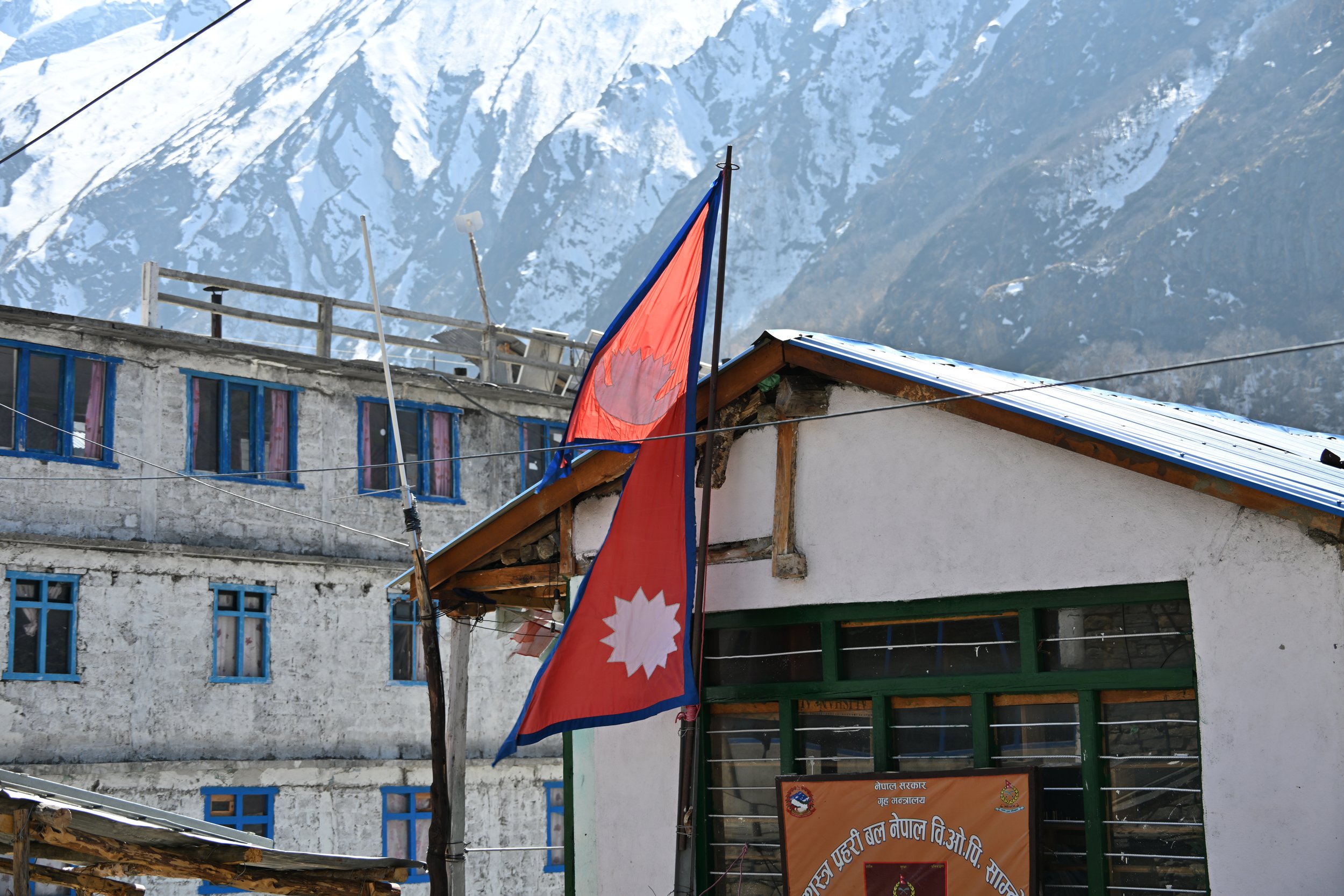
It’s the world’s only non-rectangular flag. The red stands for bravery and the rhododendron, the national flower, while the blue border represents peace. The moon and the sun are included in hopes that Nepal will have the same longevity.

Ok, back to hiking… we took a last look around at the pass, before tackling the descent. At the pass, we actually didn’t know what the back side was going to be like until we were in the thick of it. It was steep, with innumerable switchbacks loaded with snow and ice. It was also beautiful.

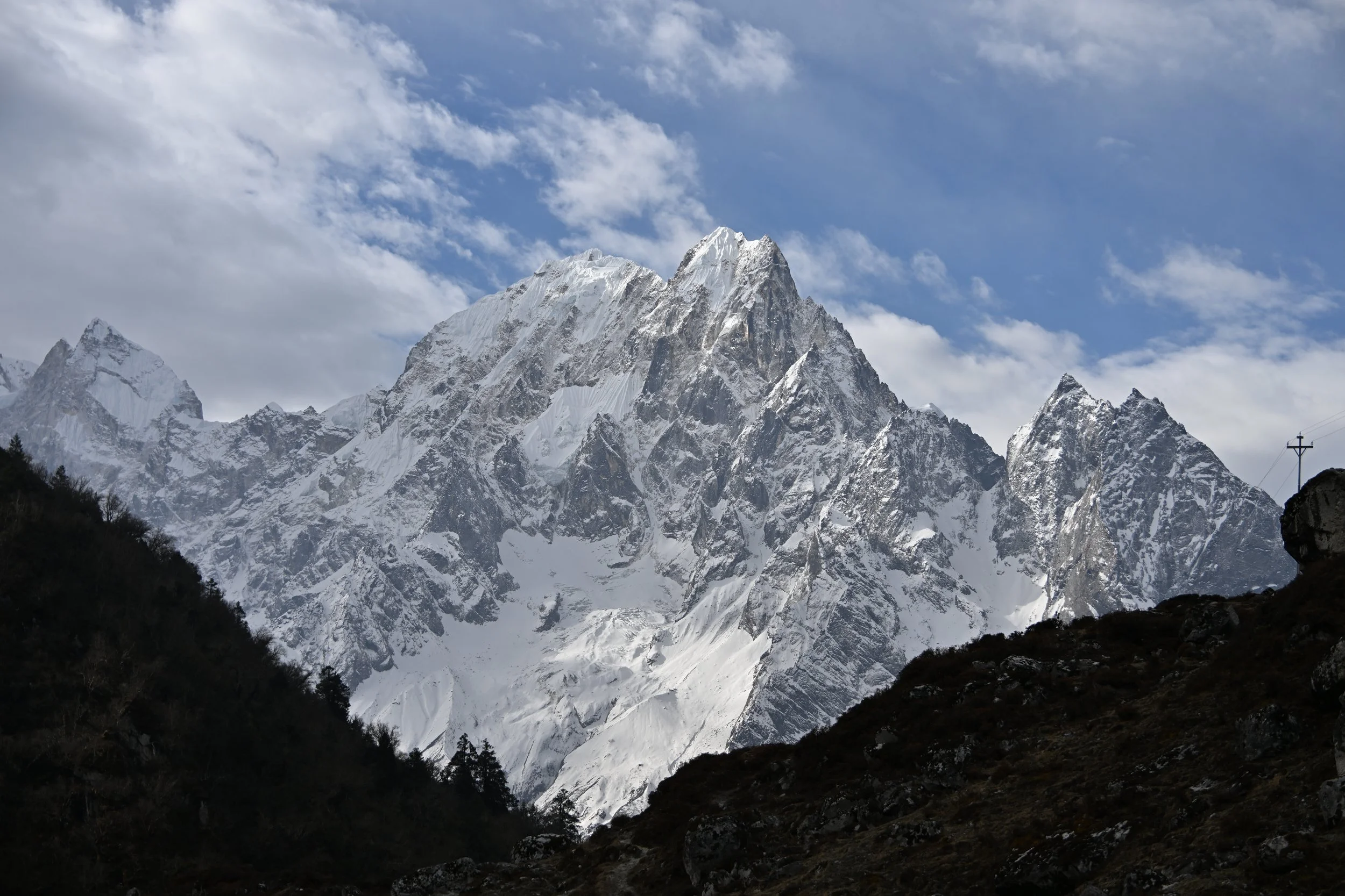
These shale looking hills with glaciers behind them were striking -

Speaking of “hills”… our guide told us that, in Nepal, names are only given to mountains higher than 7000 meters. All the others are just hills. :)
As we continued descending, we started to see trees again -

Just to summarize… the day of the Pass crossing, we hiked a total of 22 km (13.67 miles), taking 12 hours (including an hour break for lunch), while ascending 2,000 ft, then descending 5,000 ft. Whew! Did we sleep well that night!
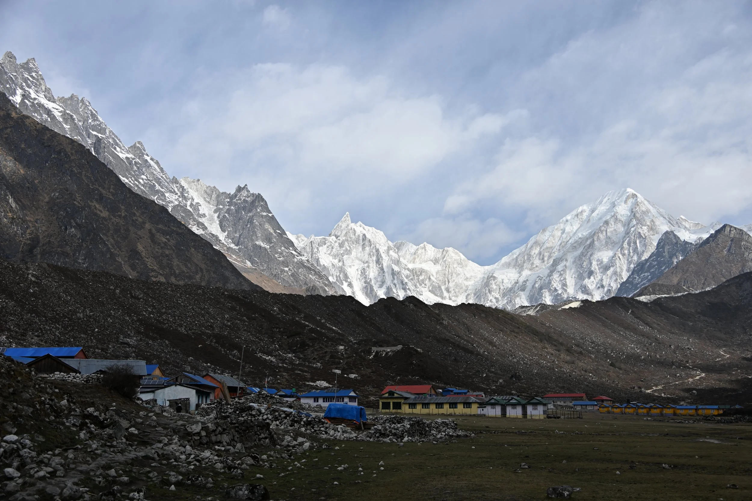
Above is the little village we spent the night in, and you can see the mountains we descended from, while the next picture shows the view we had as we left the next morning -
Now, this day’s hike was probably my favorite of the whole trek. We were heading down and out of altitude (no more thin air and panting), the pines surrounding us were bathing us in fantastic aromas, and flowers started showing up.
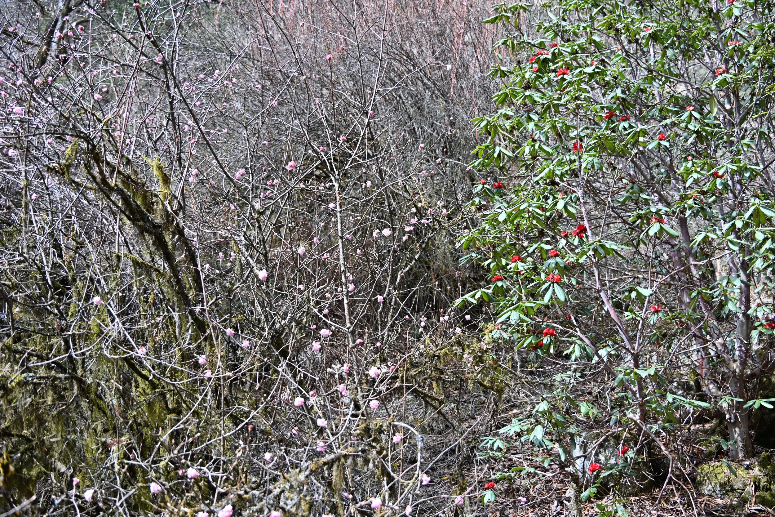
Rhododendrons, cherry blossoms and ‘old man’s beard/Spanish moss’
We had already seen the bright red rhododendrons, but when we saw magenta…
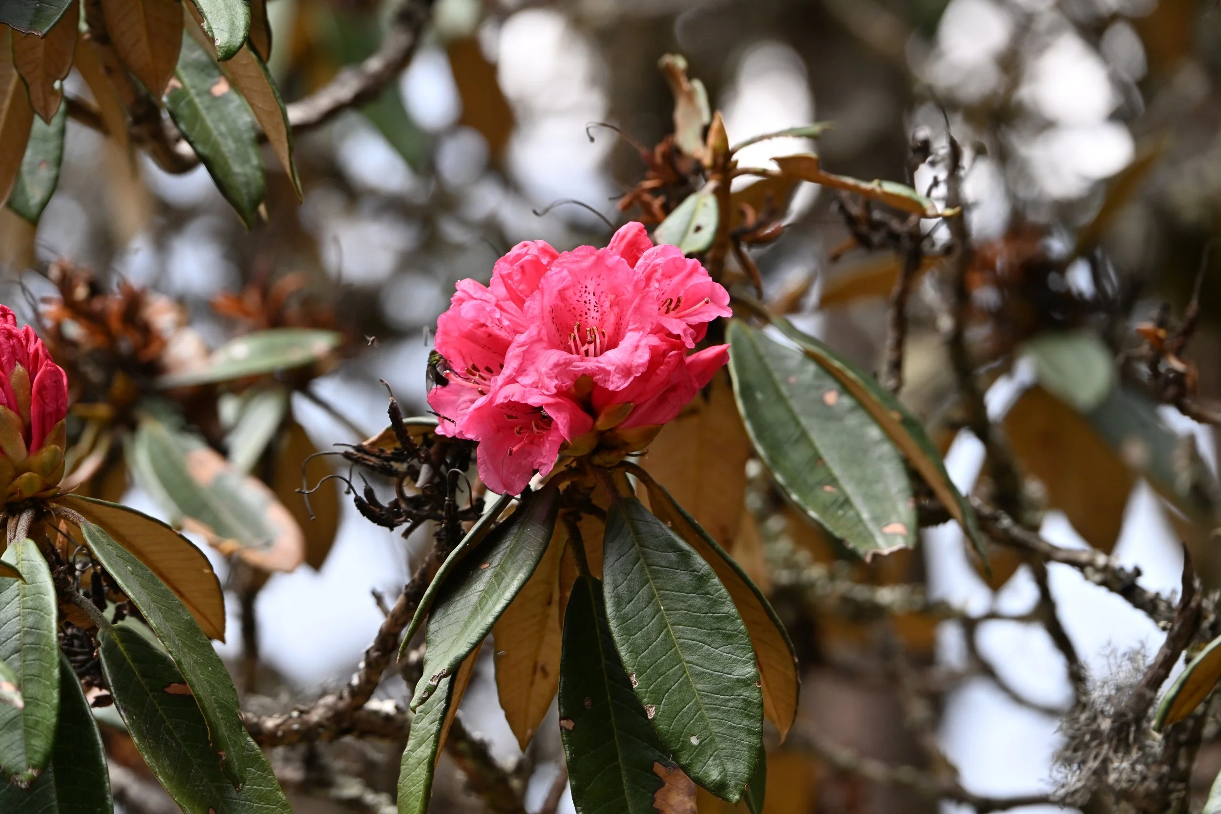
… and then pink…
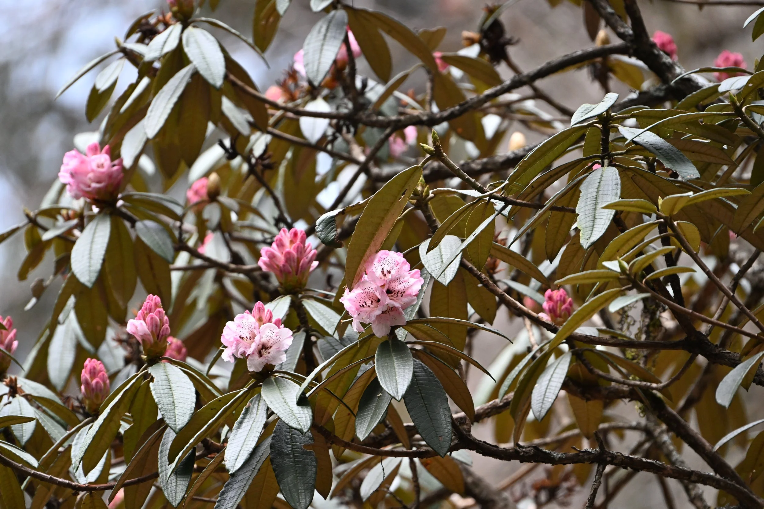
… I was in seventh heaven! I had already resigned myself to only seeing a few red rhododendrons, because we were too early for the hillsides to be covered in the variety of colors I was dying to see. Needless to say, I was a happy woman… until I saw what the trail was like ahead -
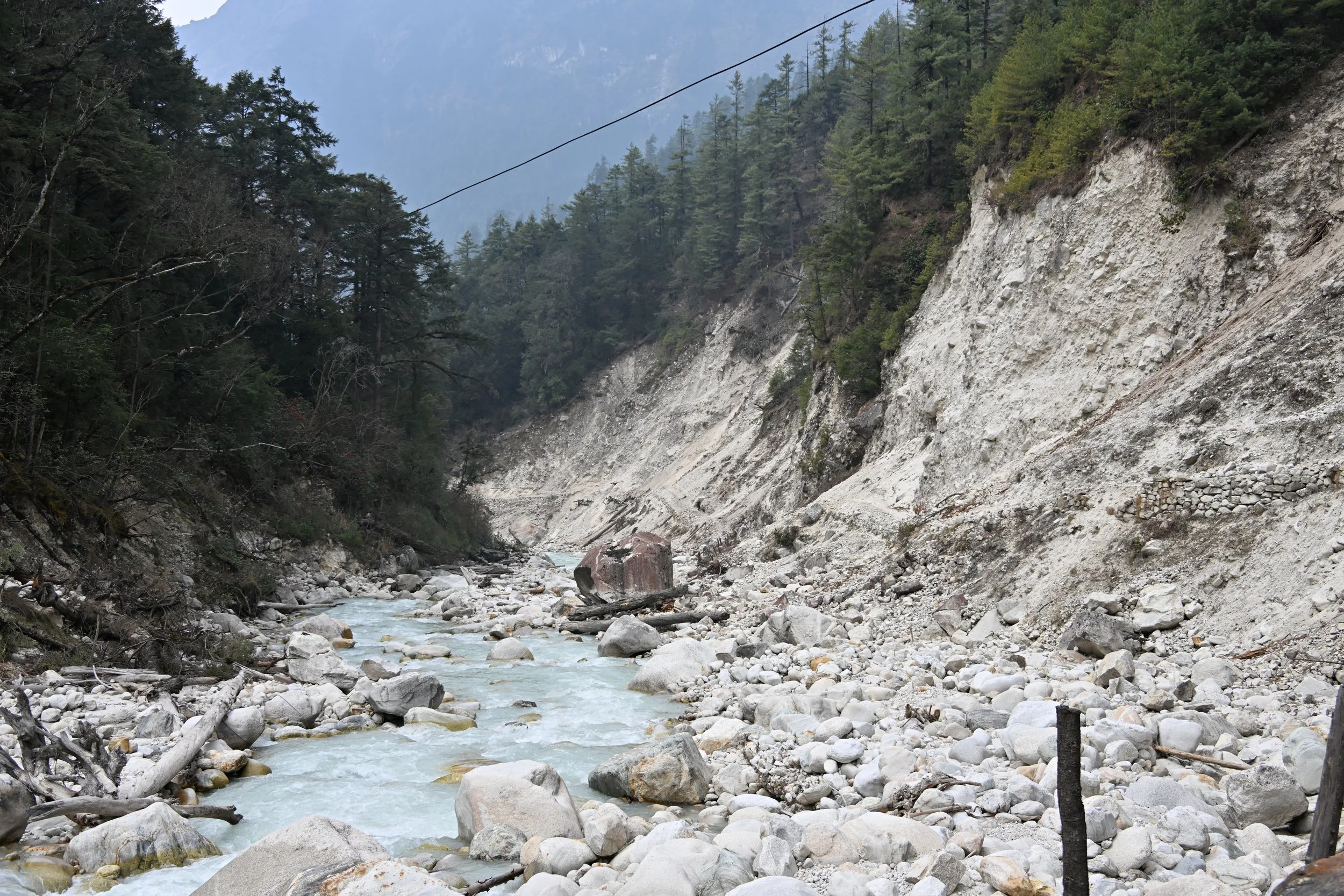
There had been multiple rock- and landslides…

… but luckily, plenty of boots had trod a fairly well demarcated path until we got to…
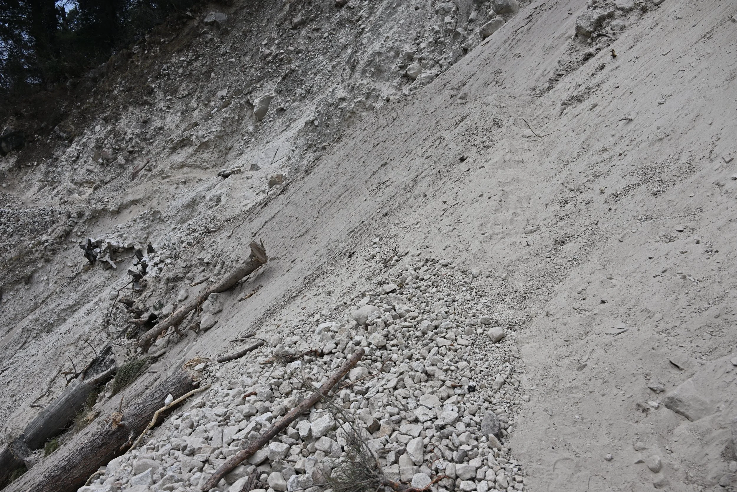
There actually was a trail there, heading upwards in the sand, but I sure didn’t like walking on a thin ledge of shifting sand that was only as wide as one boot -

This was truly the hairiest part of the whole trek!
Here are some random pics that didn’t fit the storyline, but I wanted to share -


Our stats summary - 11 days of hiking, totaling 148 km (92 miles), starting at 930 m (3051 feet) elevation and peaking at 5130 m (16,831 feet).
