Bhaktapur, Nepal & Trip Musings

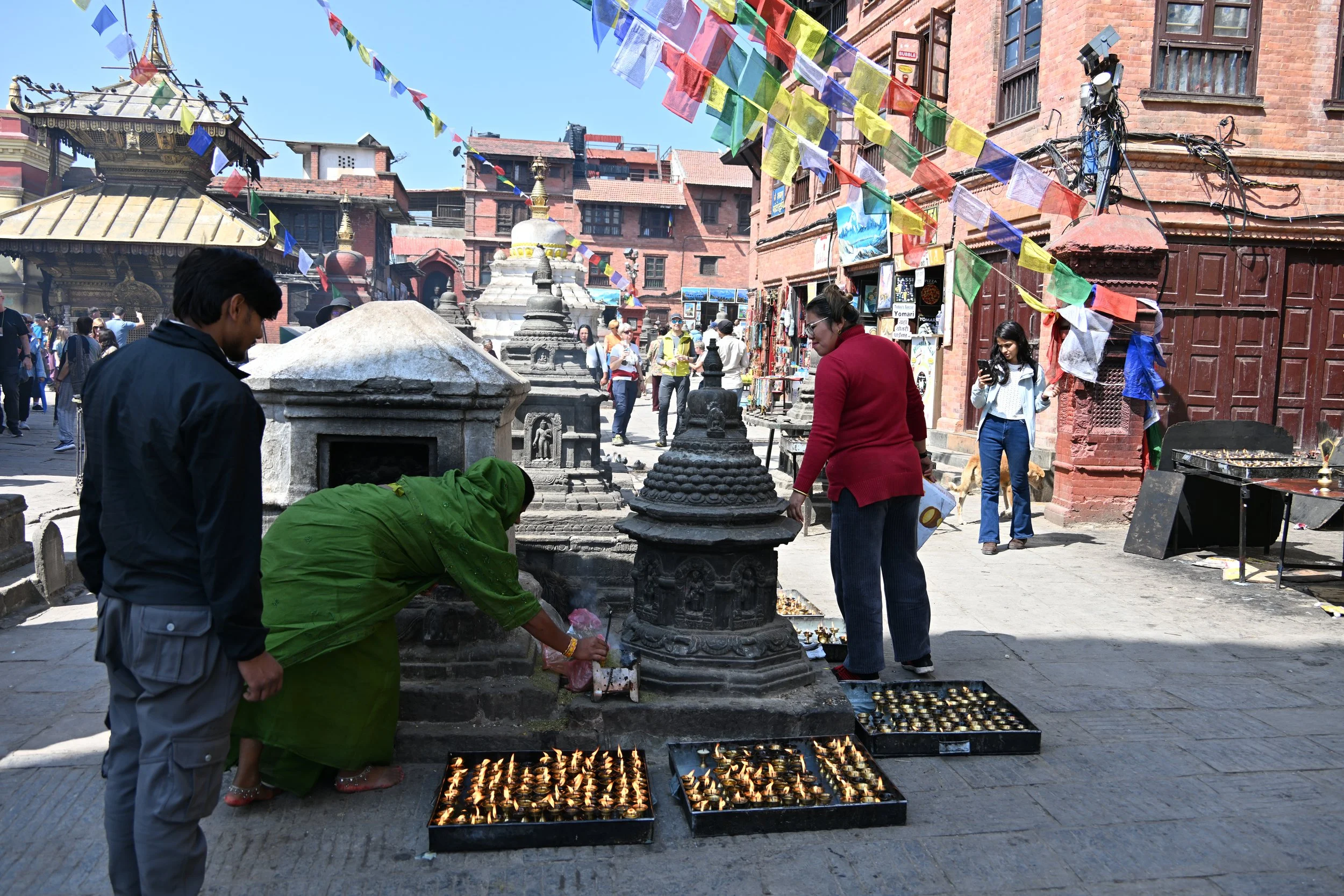
So our last day in Nepal was spent in a town just outside of Kathmandu with a really neat “old town”. As I just found out from online research, Bhaktapur has been settled since around 1000 AD.

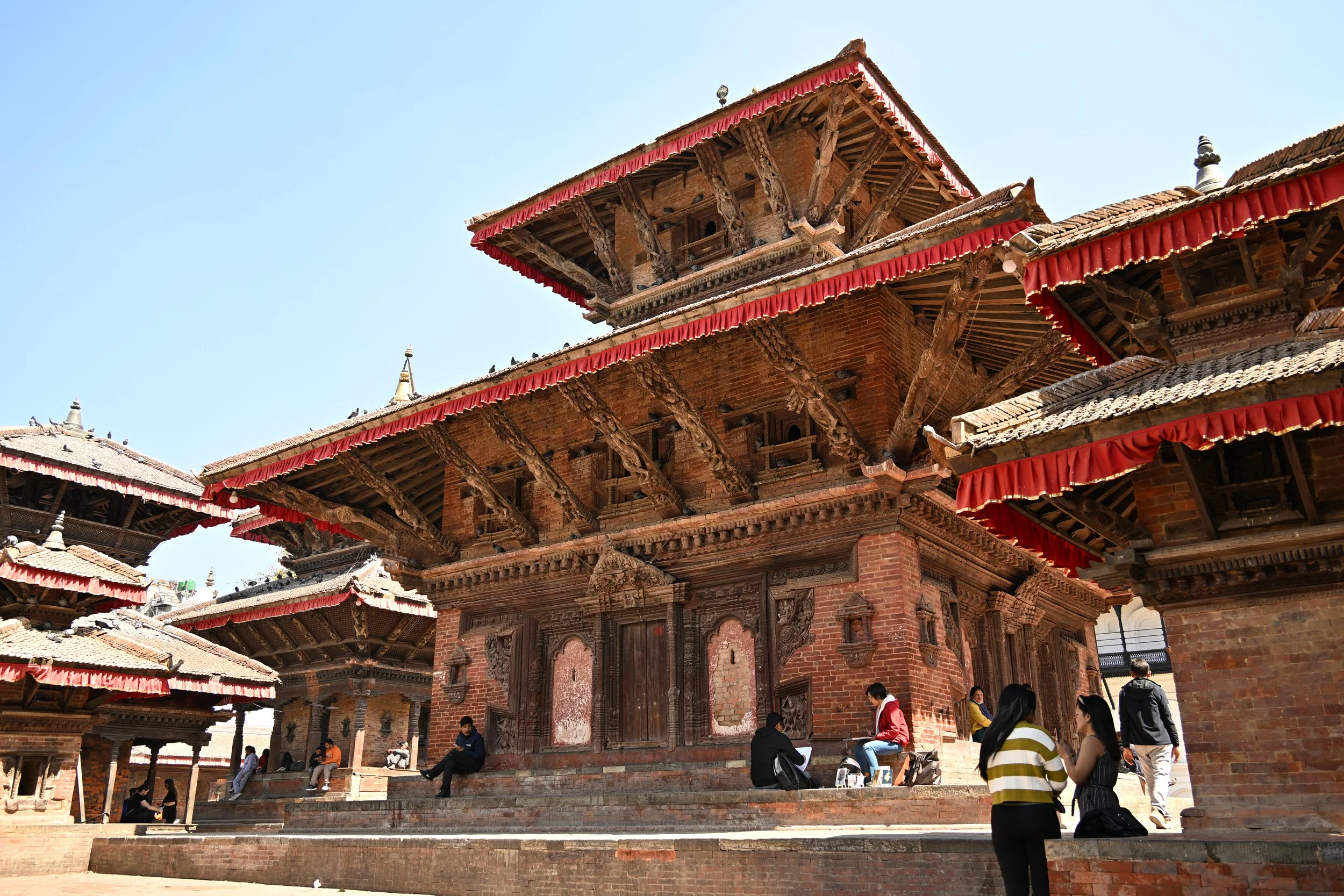
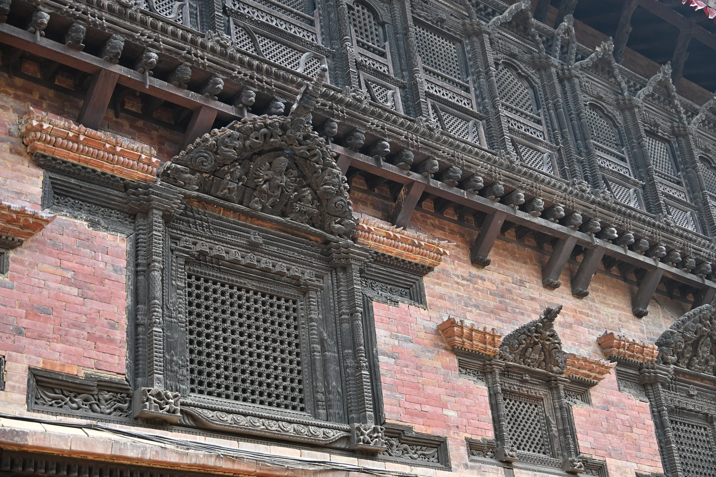
It is known for its woodcarving…
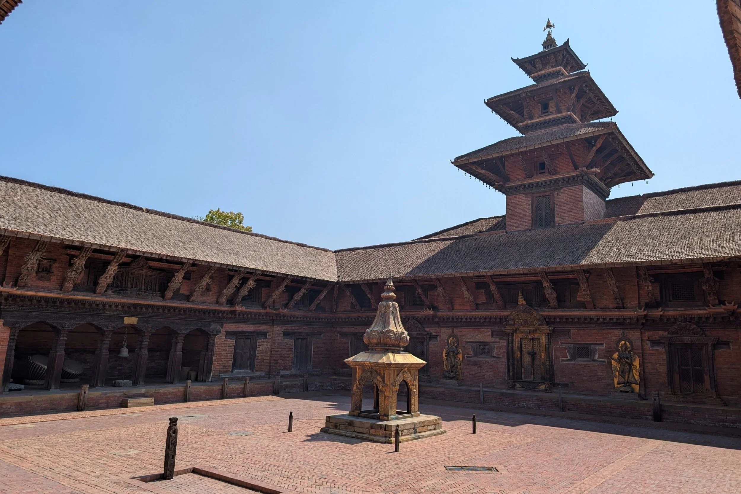
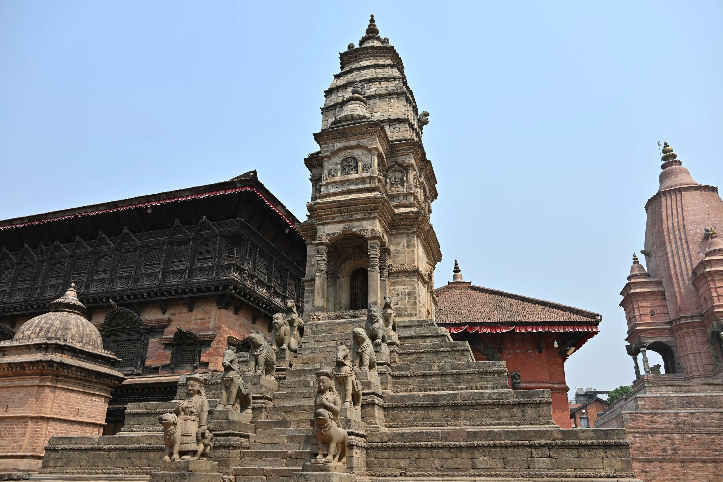
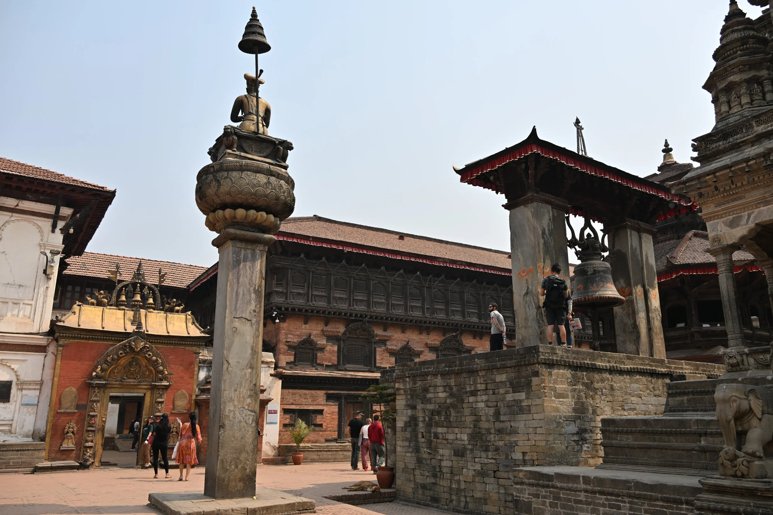
… and temples -

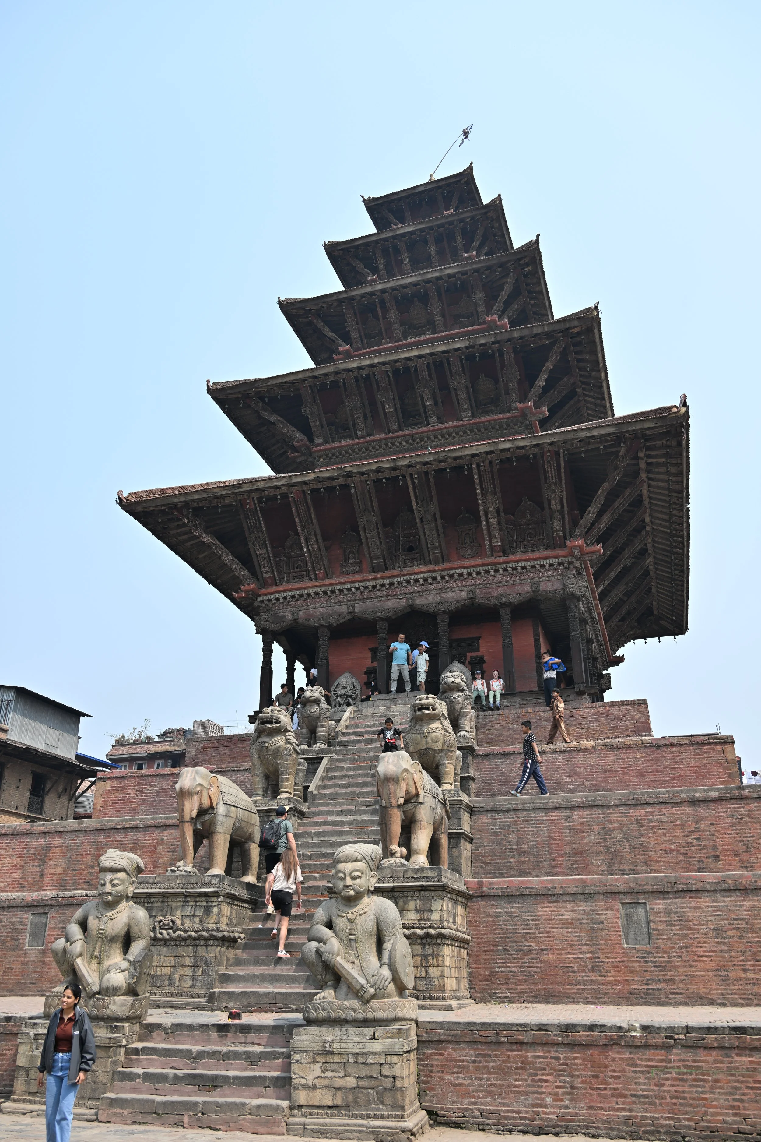
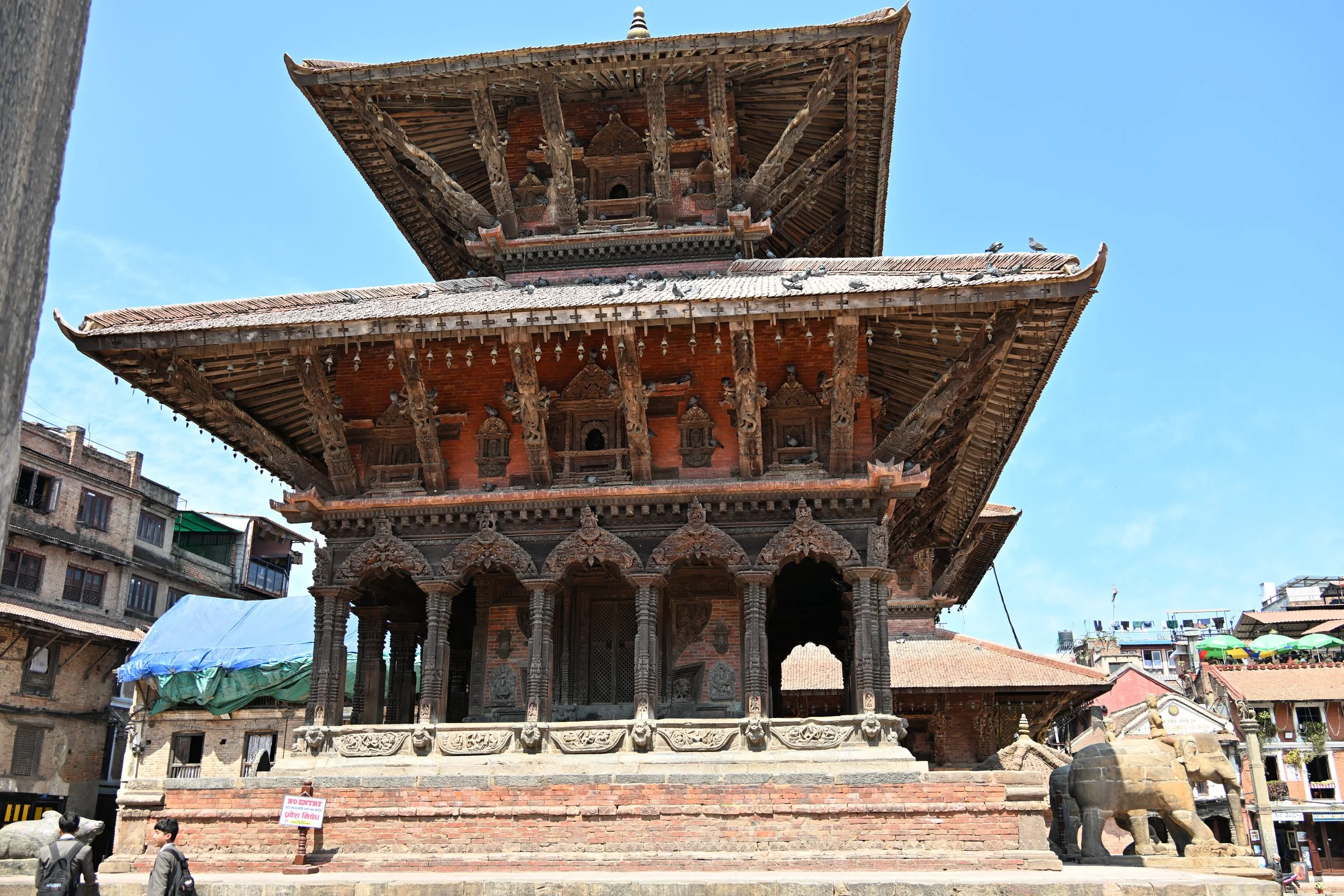
This Nyatapola Temple is one of only two five-story temples in the the Kathmandu Valley, and is the tallest building in Bhaktapur, as well as the tallest temple in Nepal, at 108 ft. It was built in 1702, and has withstood 4 major earthquakes.

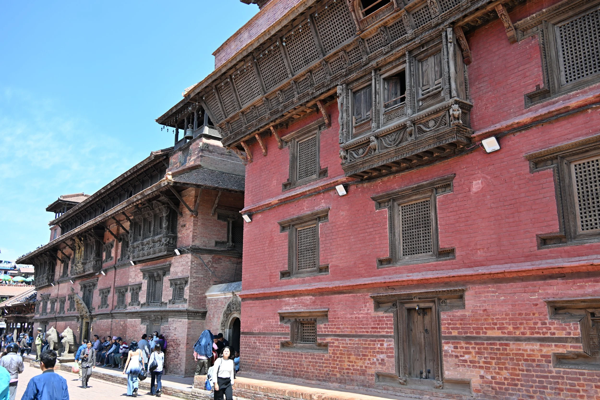
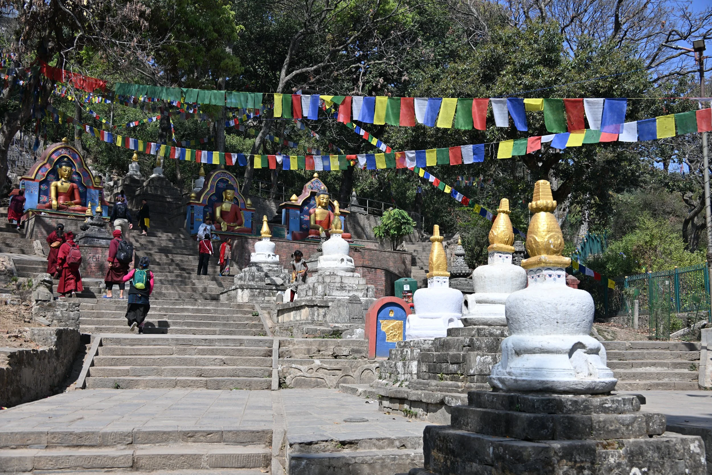
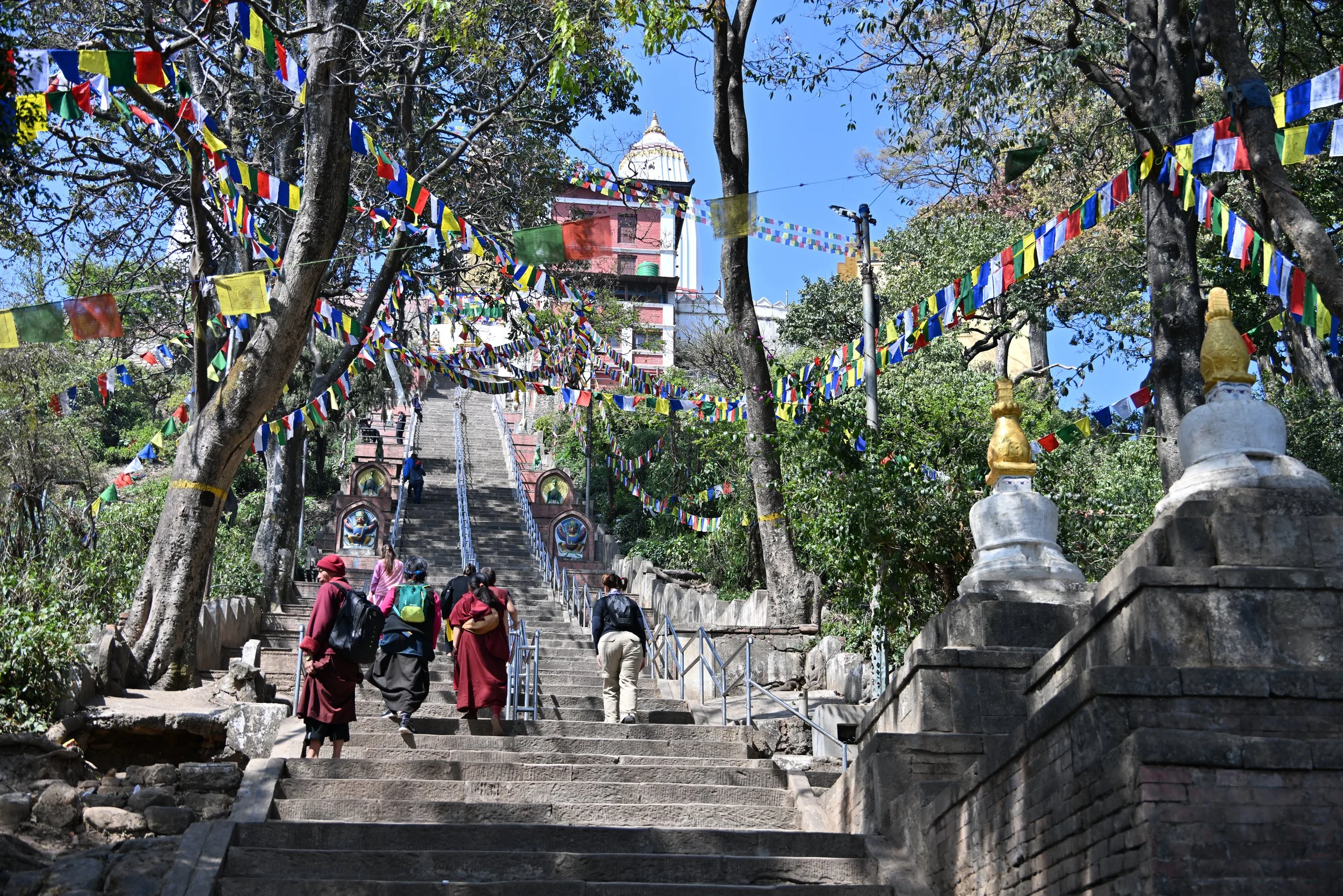
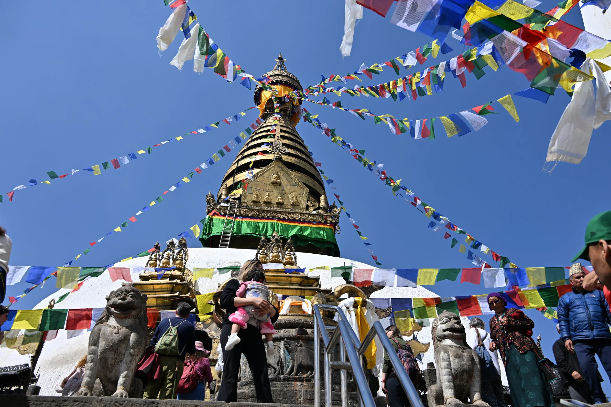
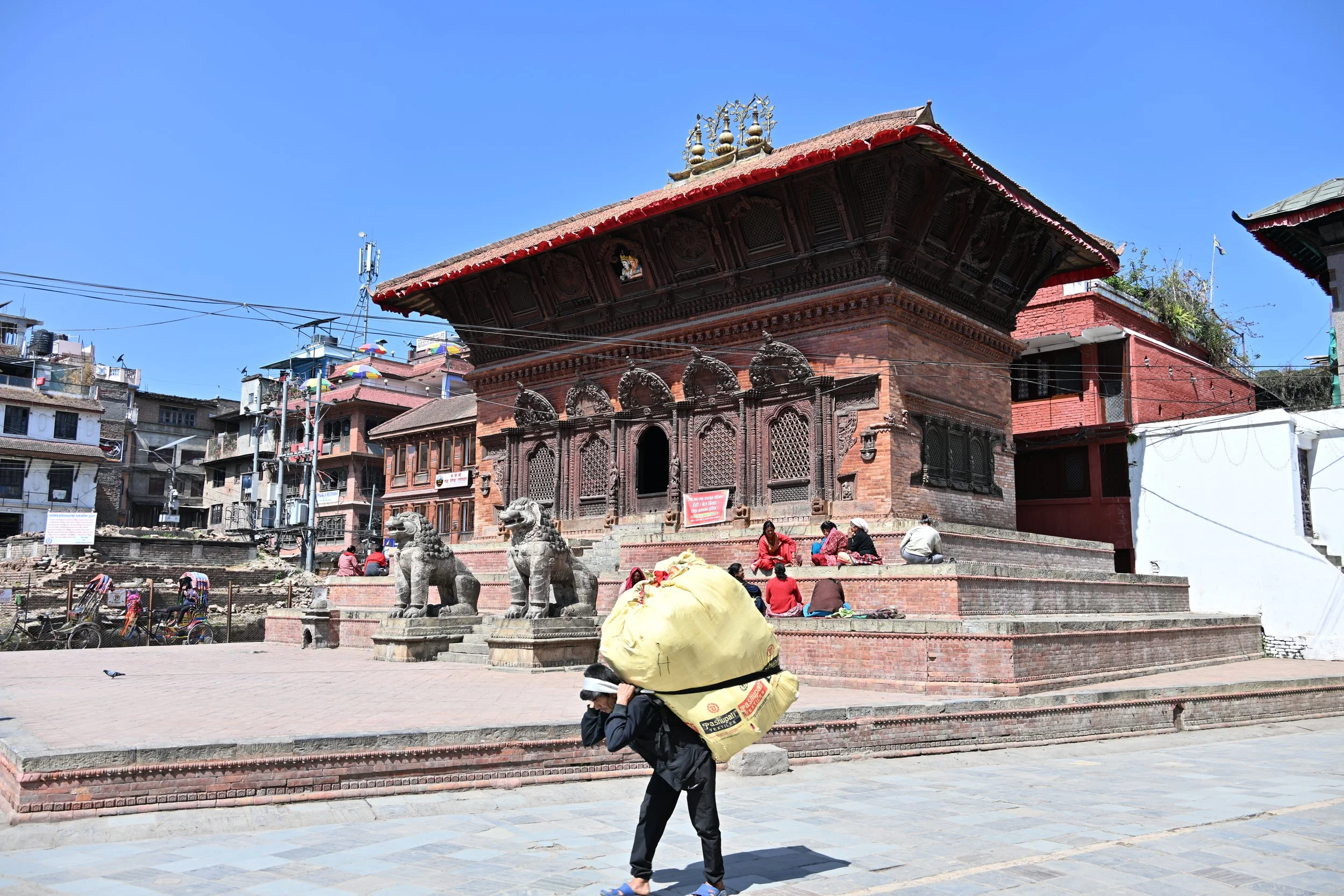
Many temples and buildings in the various squares were unfortunately destroyed or damaged in both 1833 and 1934 by earthquakes…

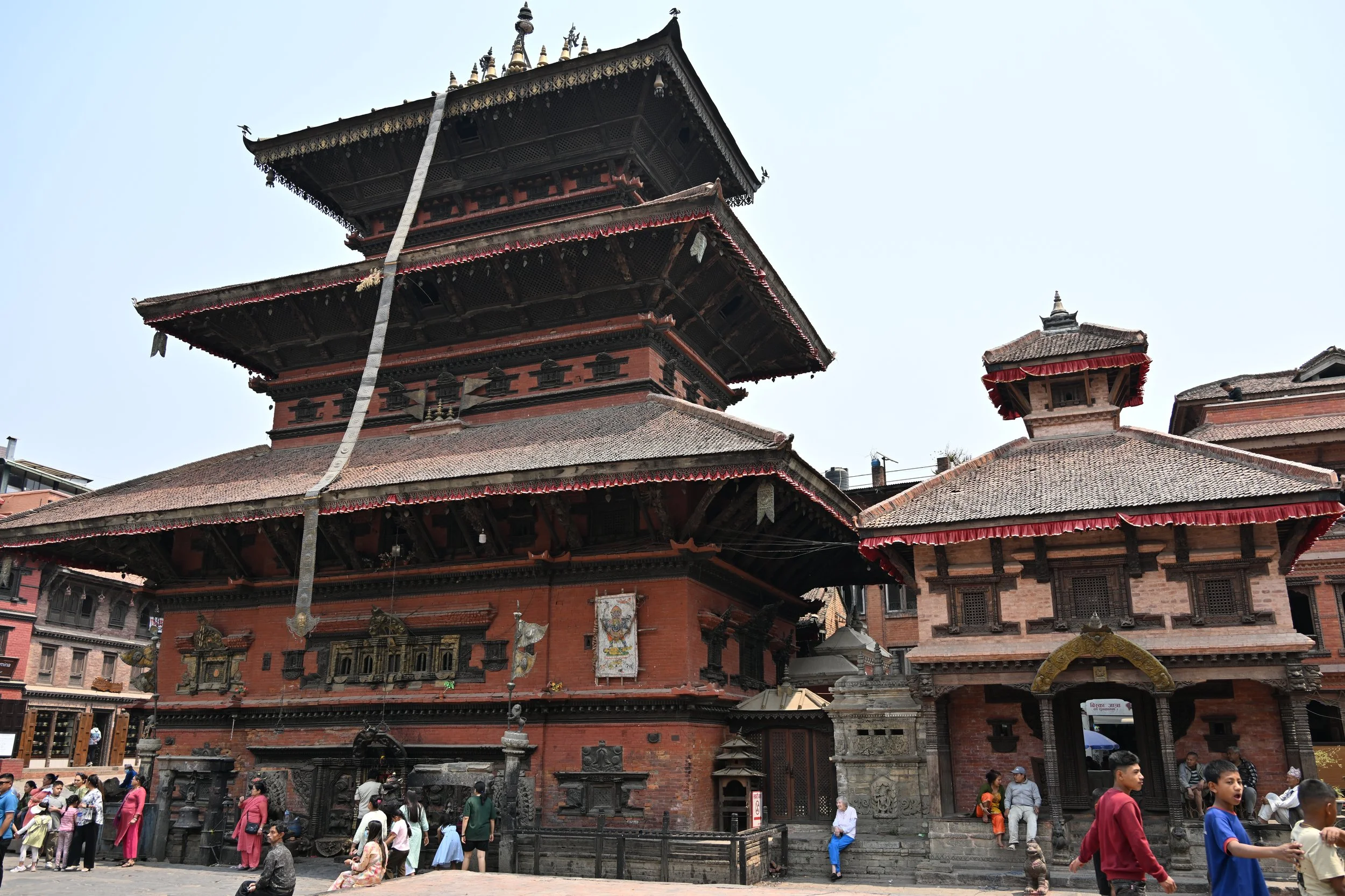
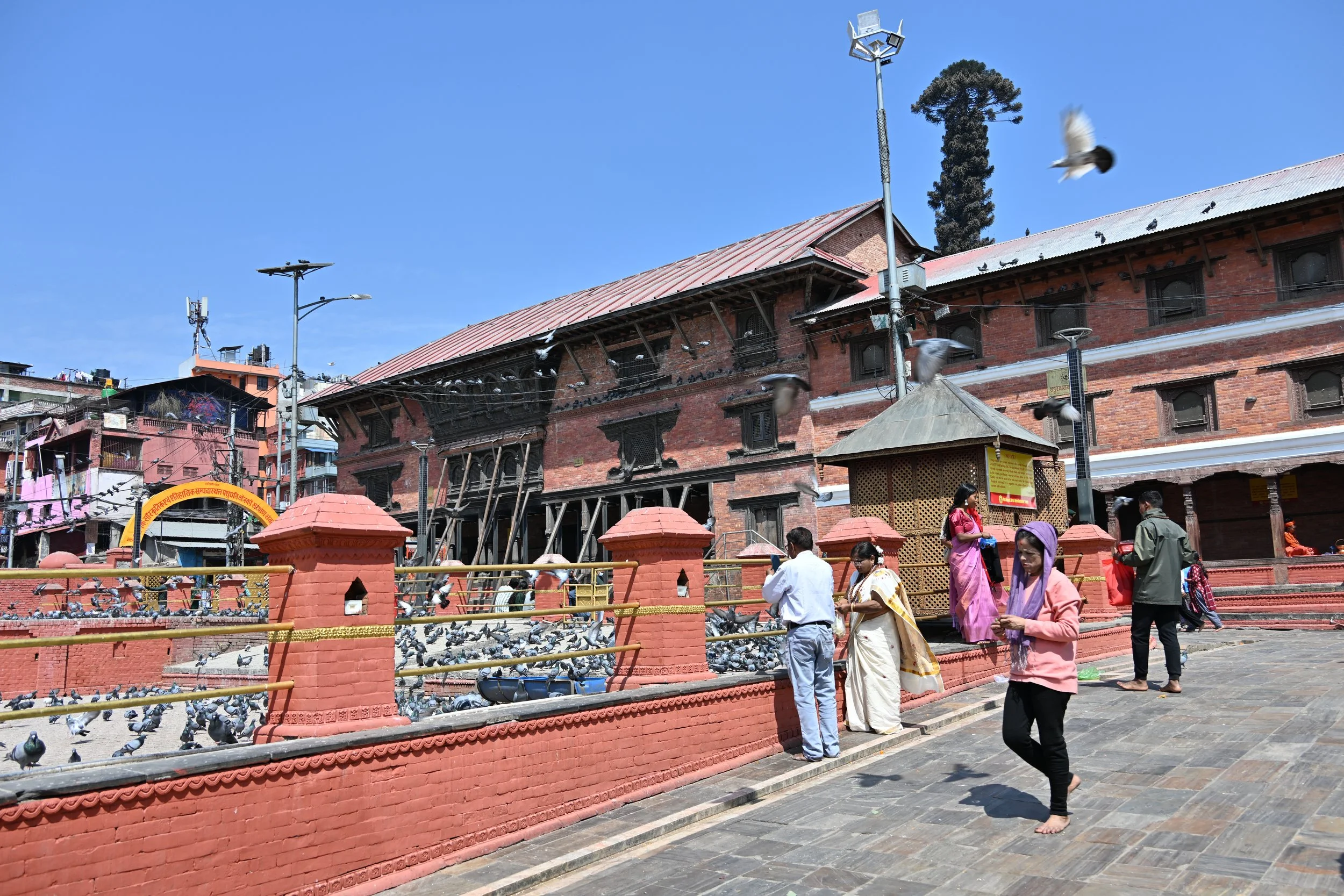
… and you can see both old and restored buildings side-by-side throughout the city -

There was also a major earthquake in 2015, and reconstruction continues…

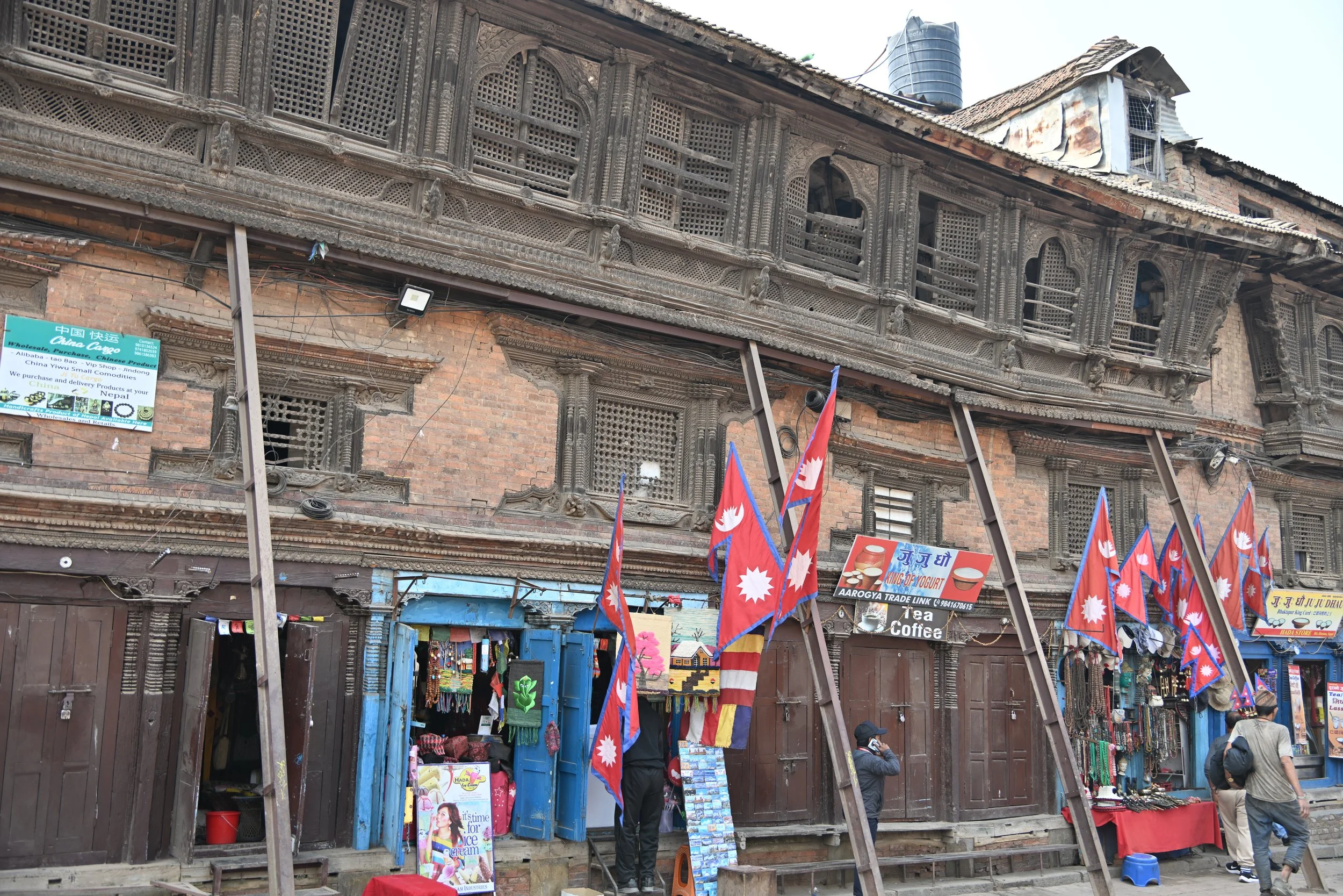
I happened upon this neat shop during our wanderings -

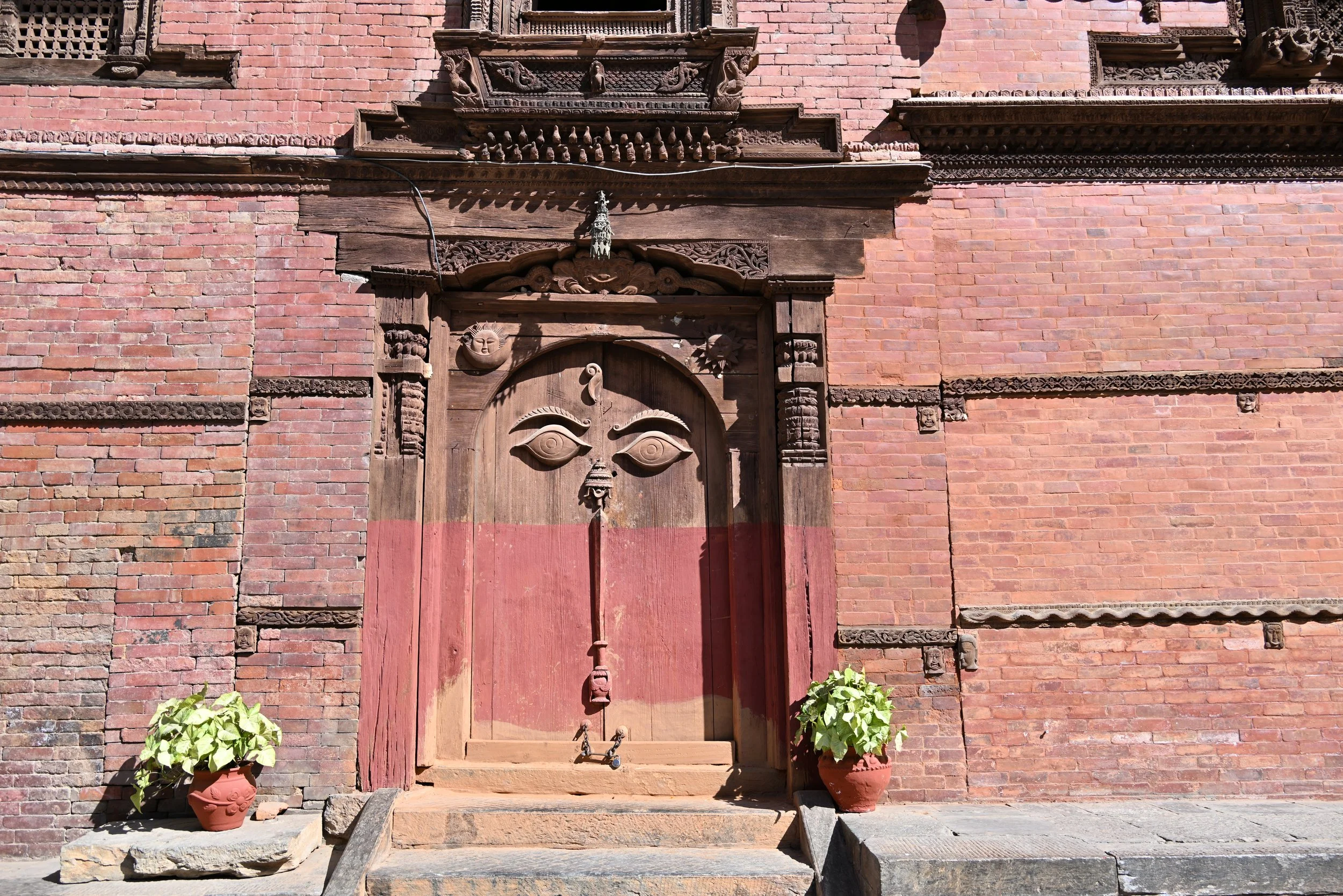
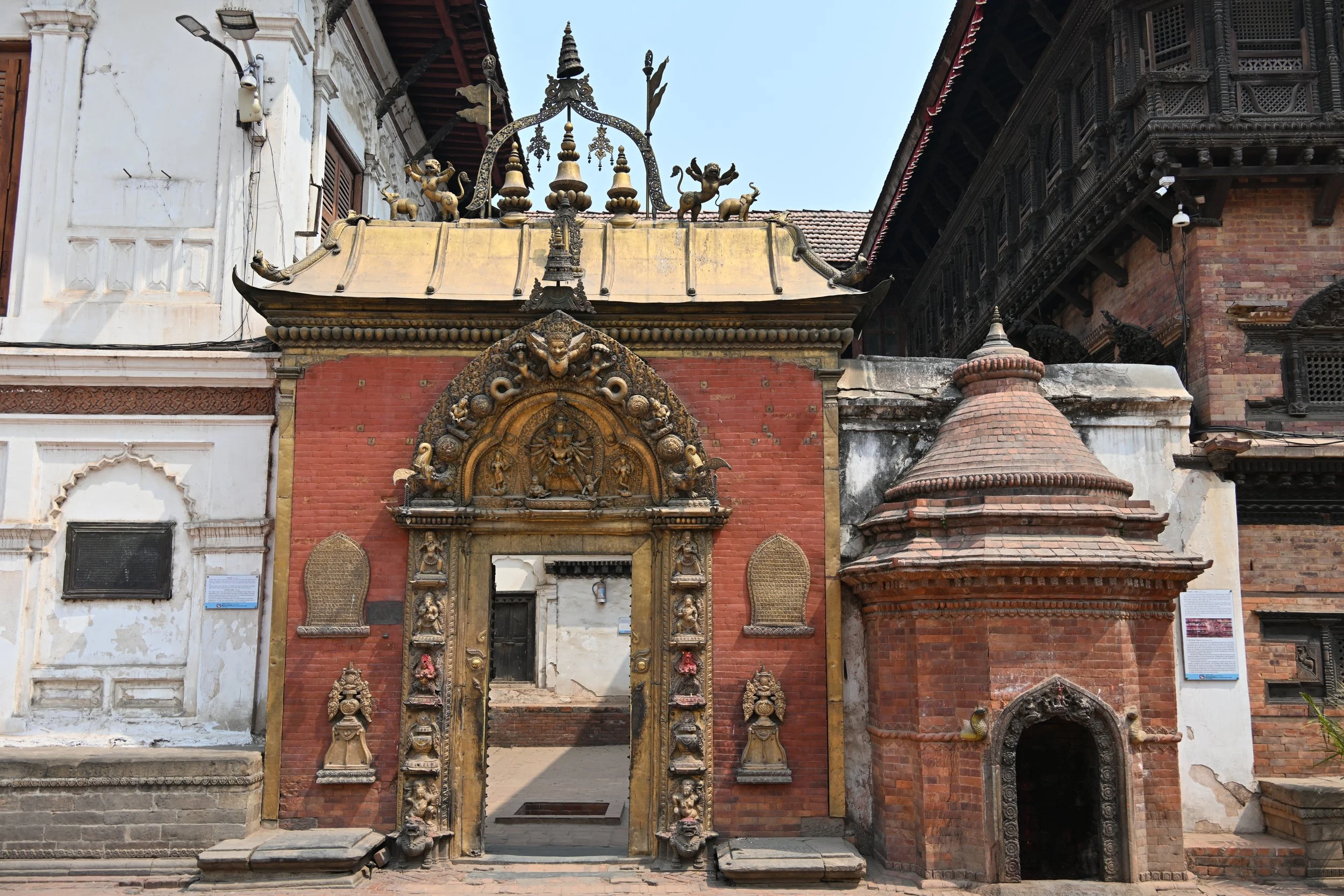
This Peacock Window dates from the early 15th century, and I found it by perusing Google Maps for places to see as we explored -

Speaking of earthquake damage, I’m not sure I’d visit this second story -

Some beautiful stone and bronze work -

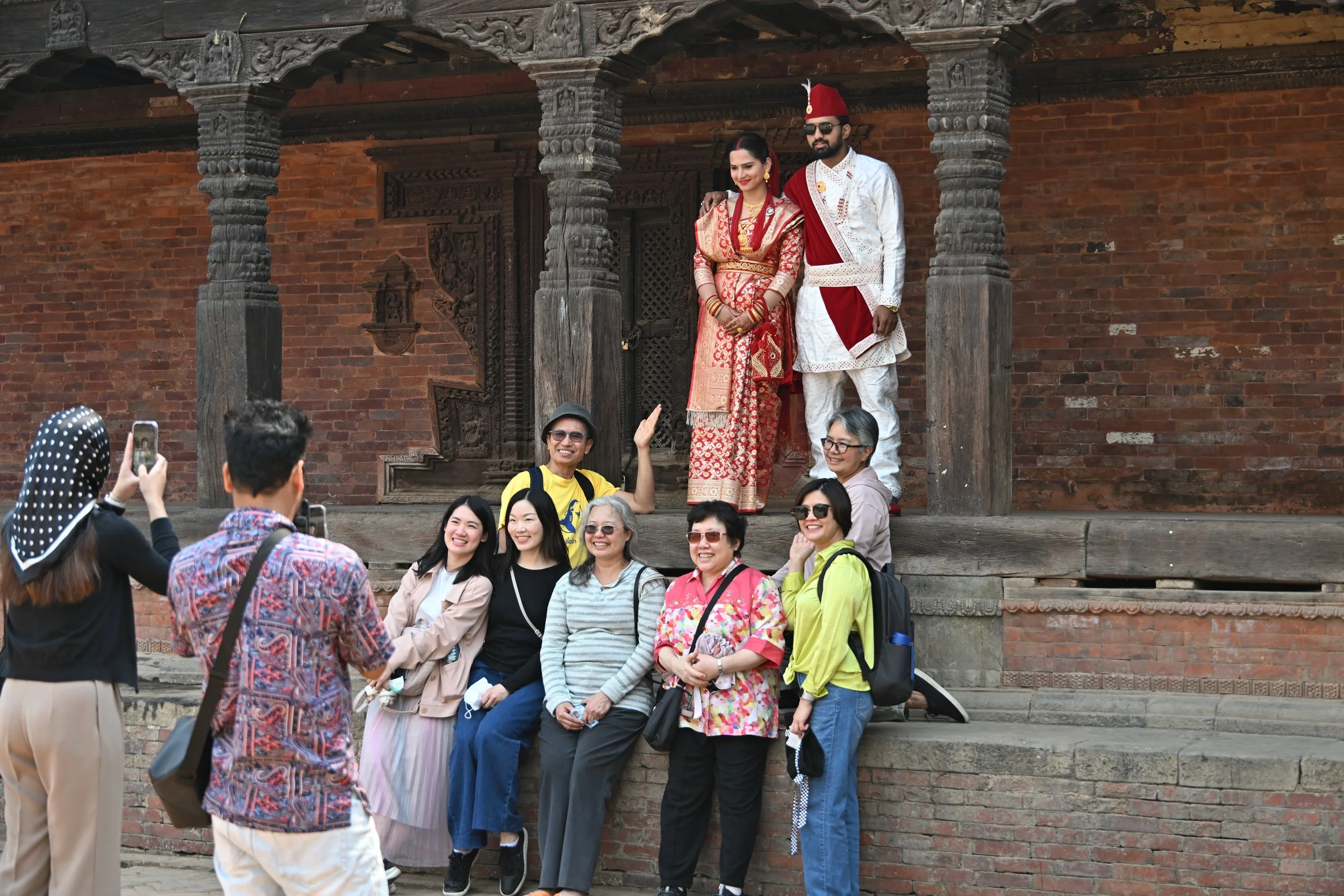
Here was something that made us laugh. This couple had their wedding photo engagement crashed by some Asian tourists! (so of course I had to grab a photo too)

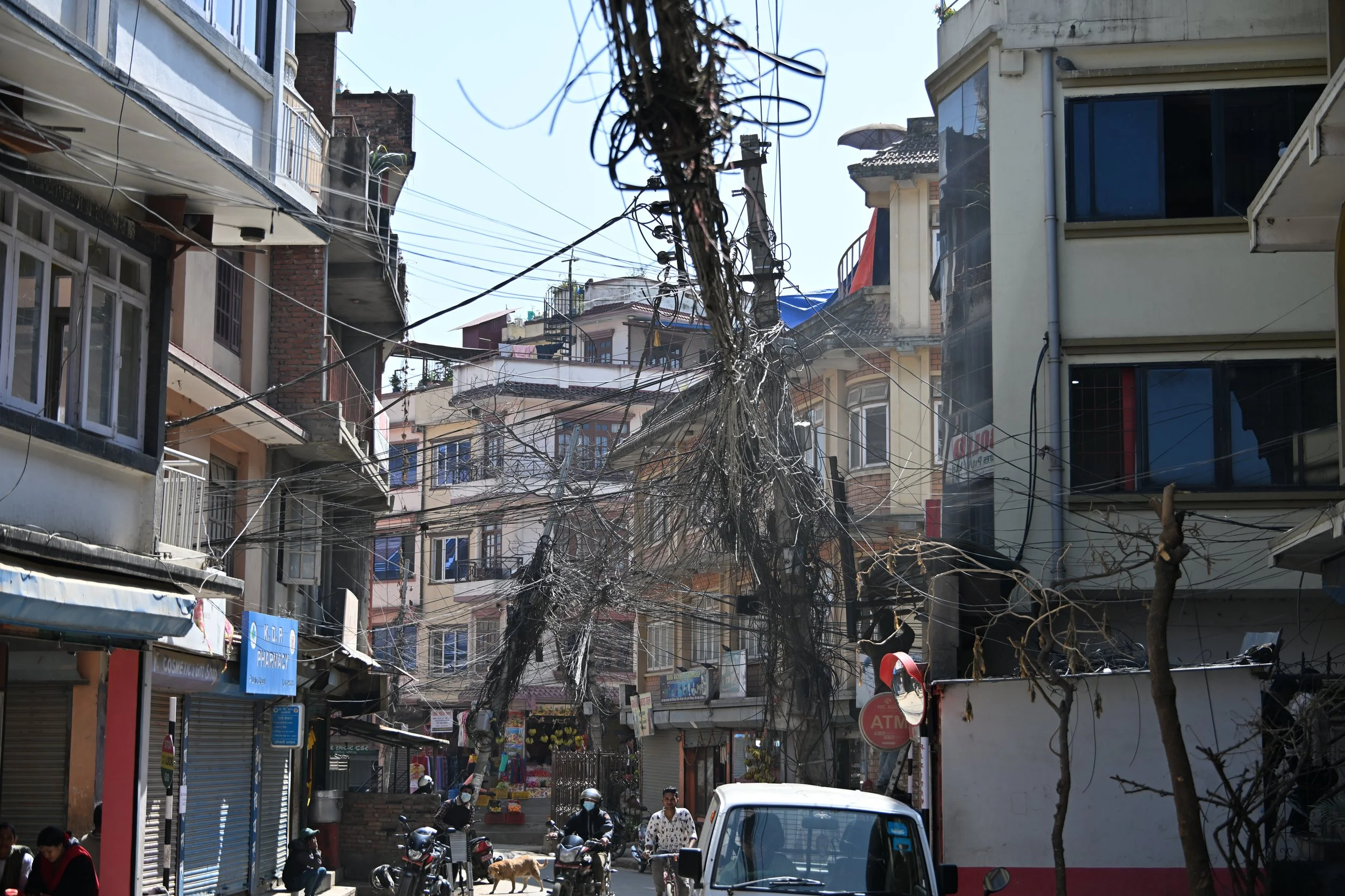
An interesting tidbit about Nepal — nearly all buildings, and even rooms in hotels and tea houses, are secured with a sliding bolt and padlock, from the very simple…
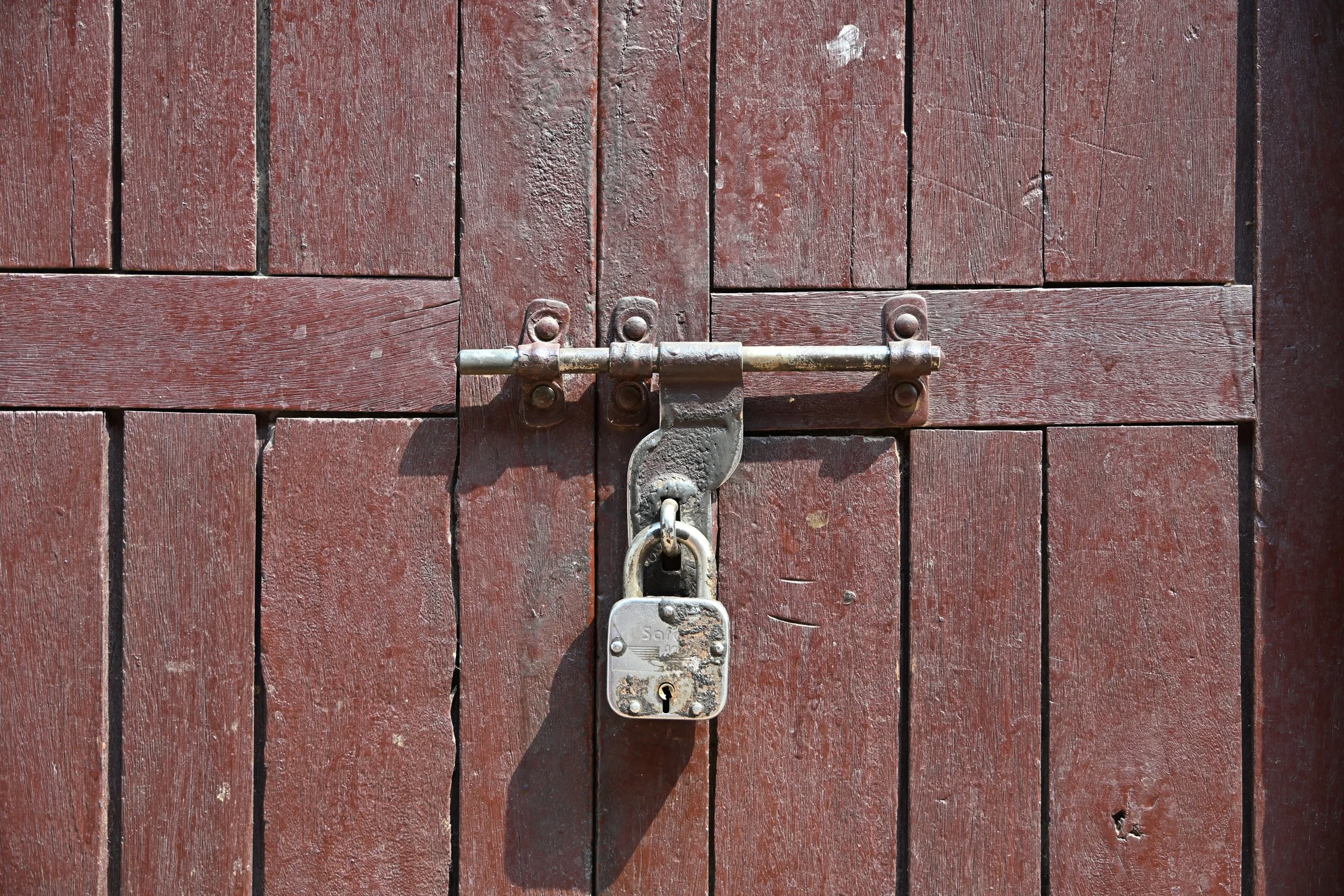
… to quite ornate -

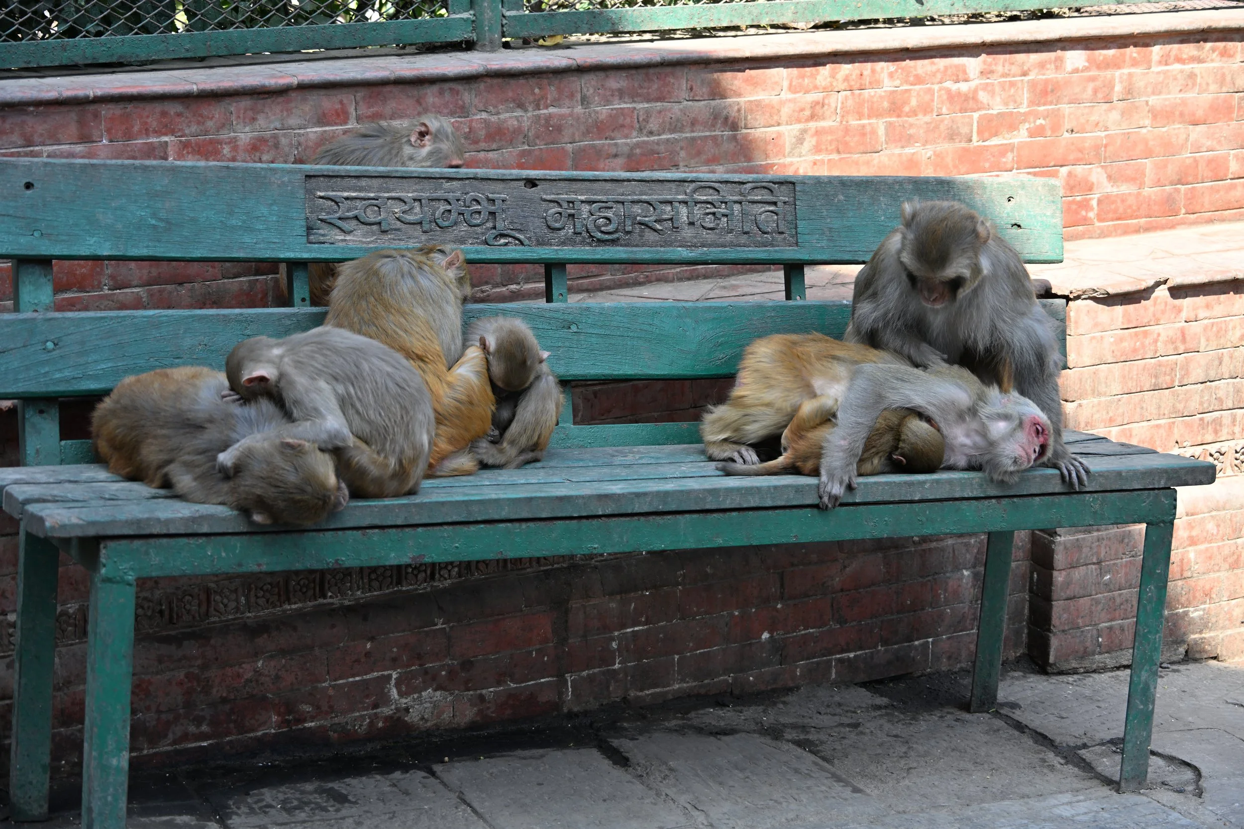
Odds and Ends from the Trip 

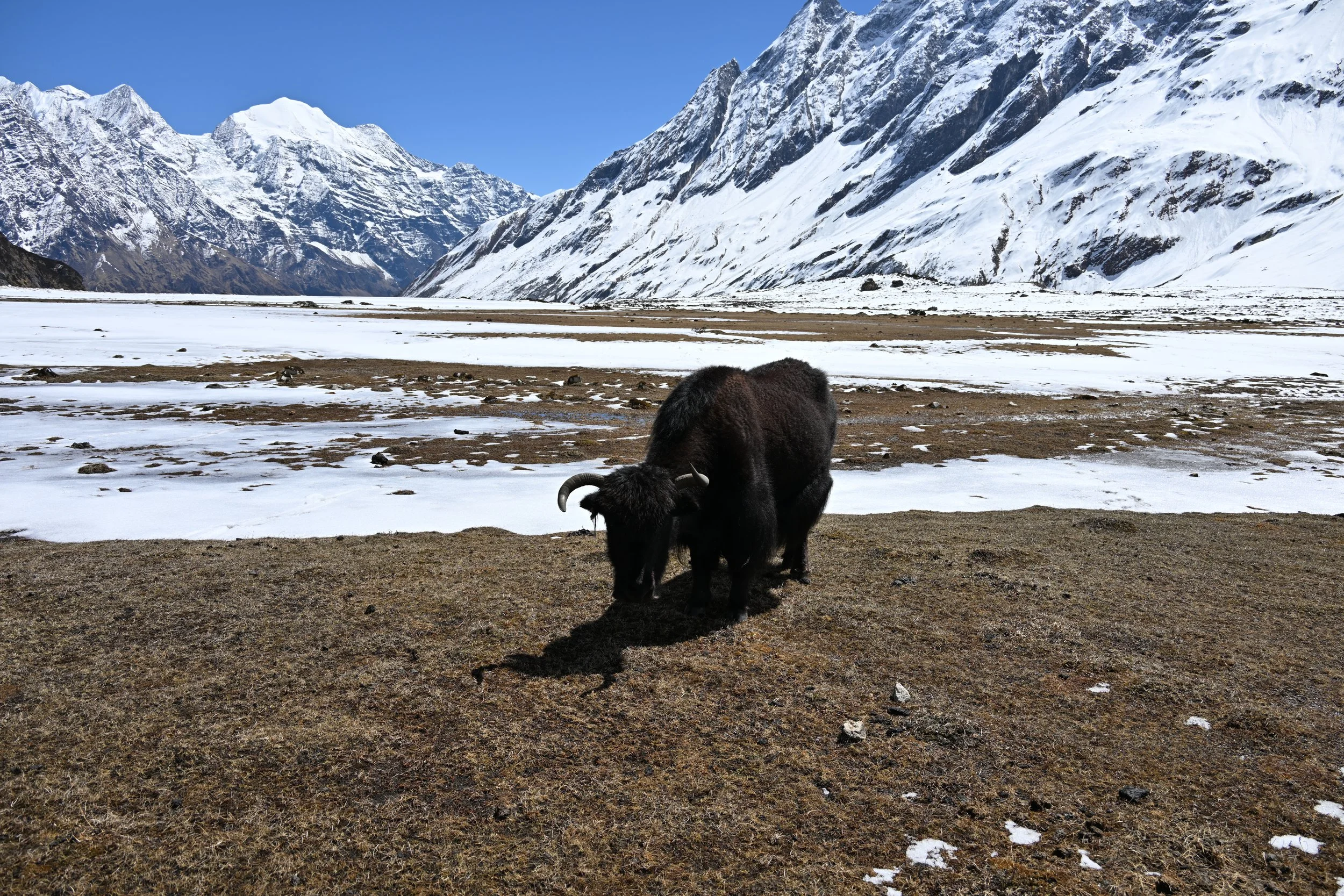
 With the extreme differences in altitude and geography during this trip, at times we forgot that we had started off by diving!  That made some folks a little bit crabby: 

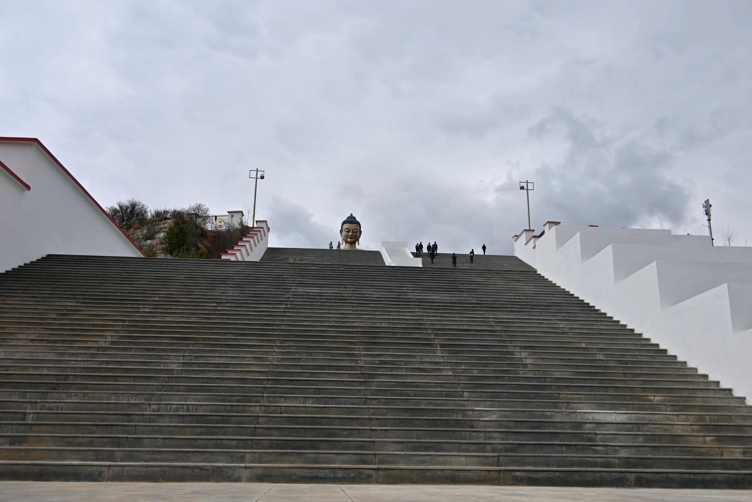
Midway through Bhutan, we visited the country’s tallest statue of Buddha, which is over 50 meters/170 feet tall, and watches over the capital of Thimphu:

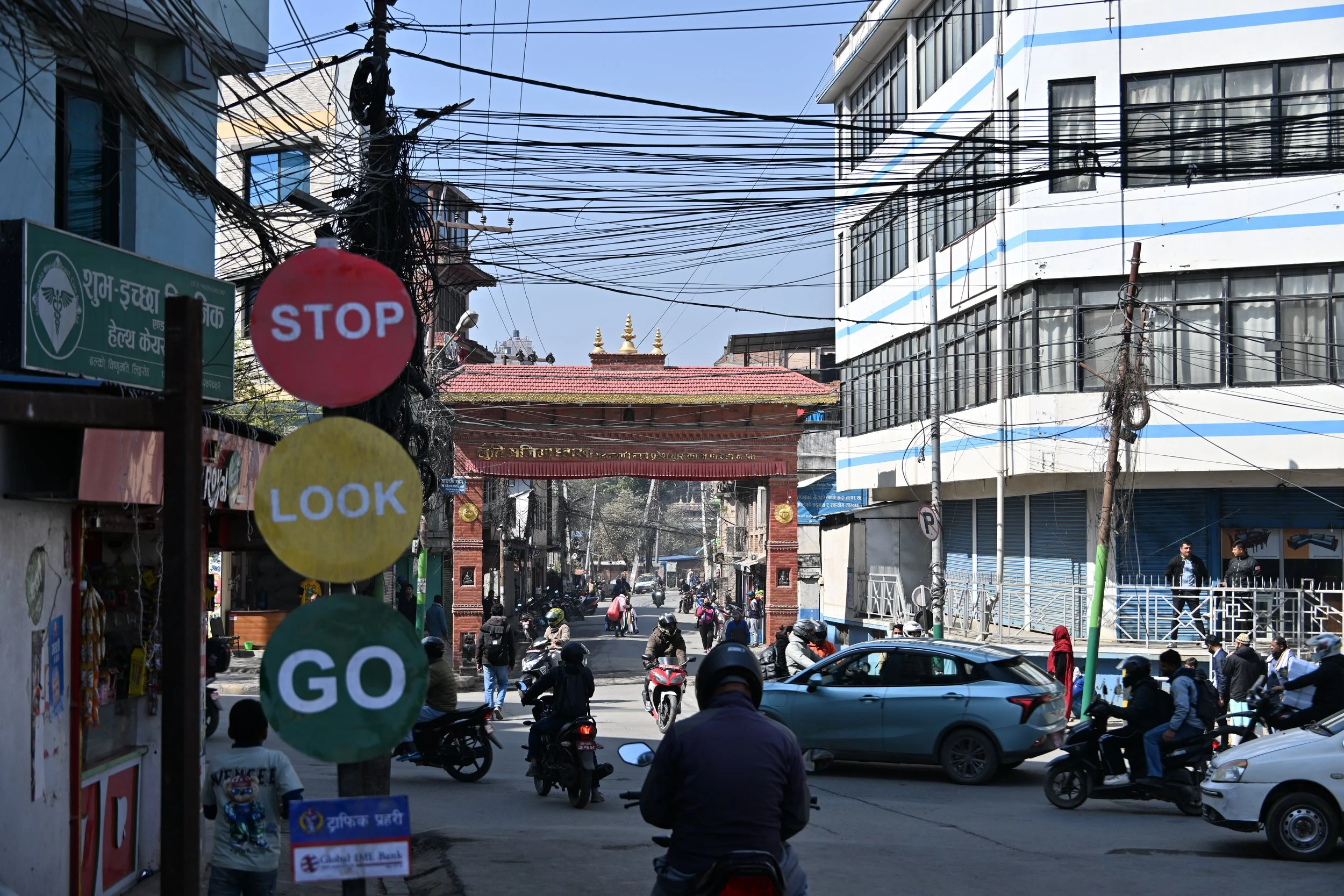
Our flights on this trip were uneventful despite traveling in the Himalayas—albeit with one exception.  Our Bhutan domestic flight from Bumthang to Paro (as part of our return to Kathmandu for the trek) was cancelled due to wind concerns.  Thus, we unexpectedly received the opportunity to travel 300 kilometers by car that day—which was around 50% of the width of the country.  Between that and our other automotive travels, we are comfortable in agreeing with our guide that the country does not have a single traffic light!  Overall, Bhutanese roads were in good condition, and I don’t know that we heard more than a handful of horns over the 17 days we were there. (Nepal, on the other hand….)

Another interesting thing, which apparently is consistent with Indian practice as well, is that the people in both Bhutan and Nepal commonly eat without utensils—even when dinner consists of rice heavy meals with sauces.  At first, this struck us as a bit strange, but we quickly became used to it.

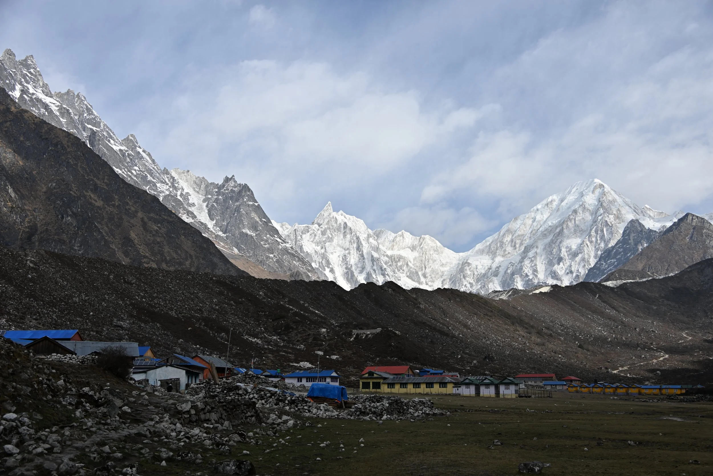
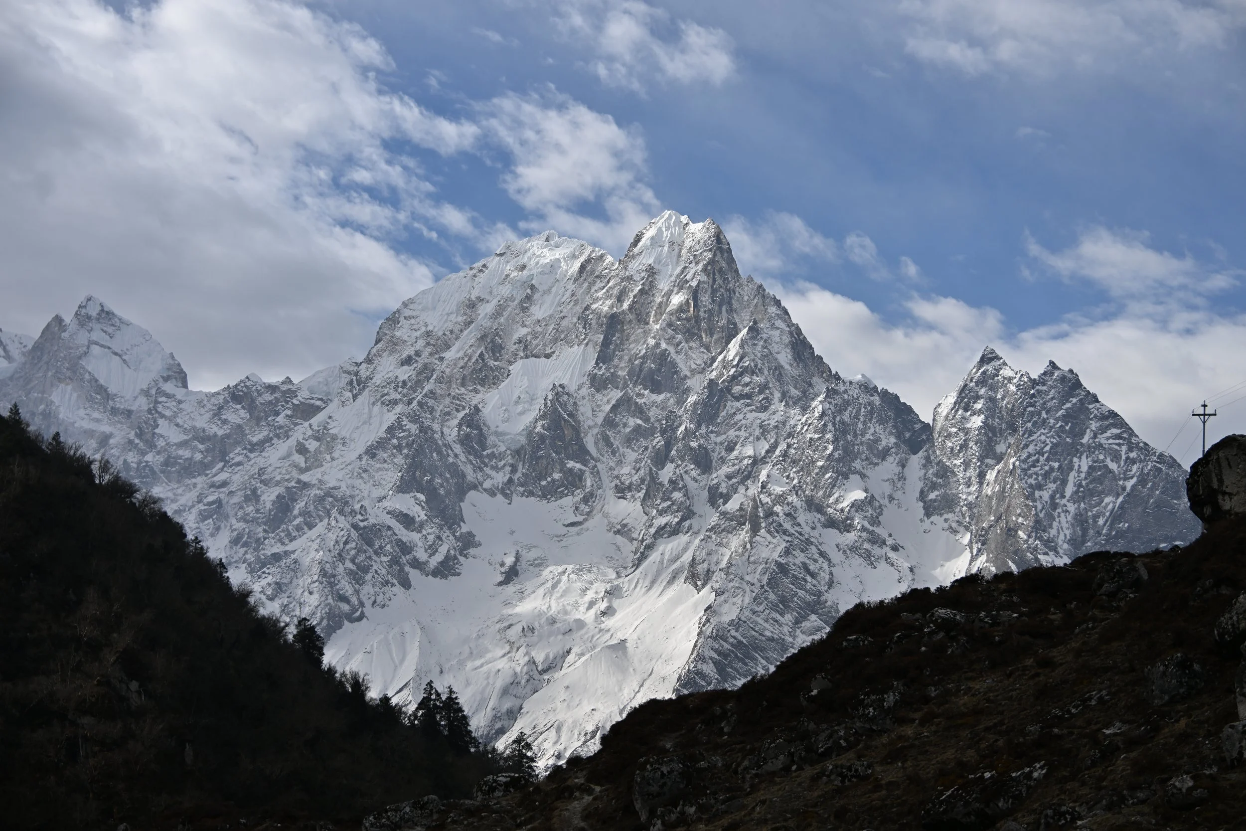
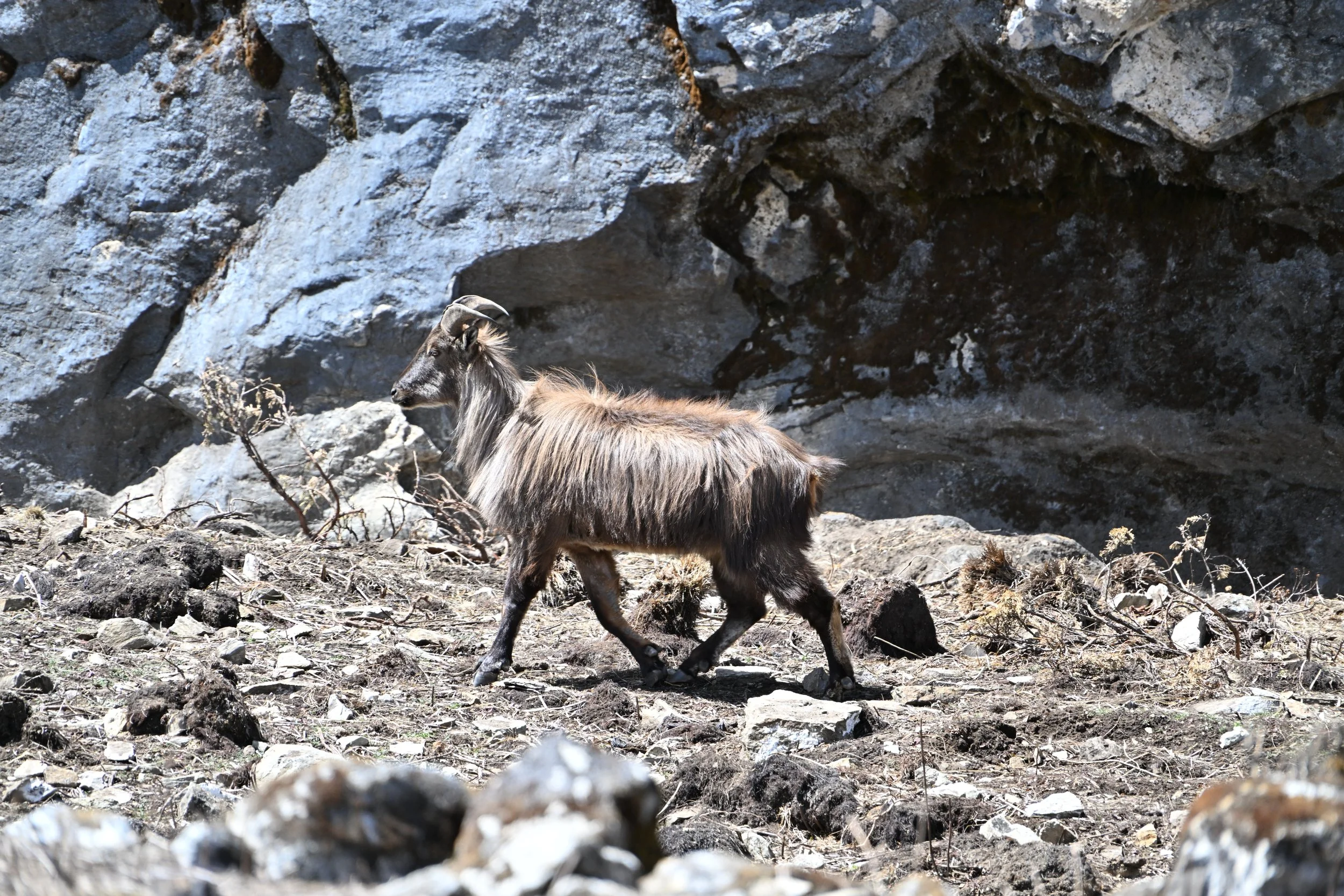
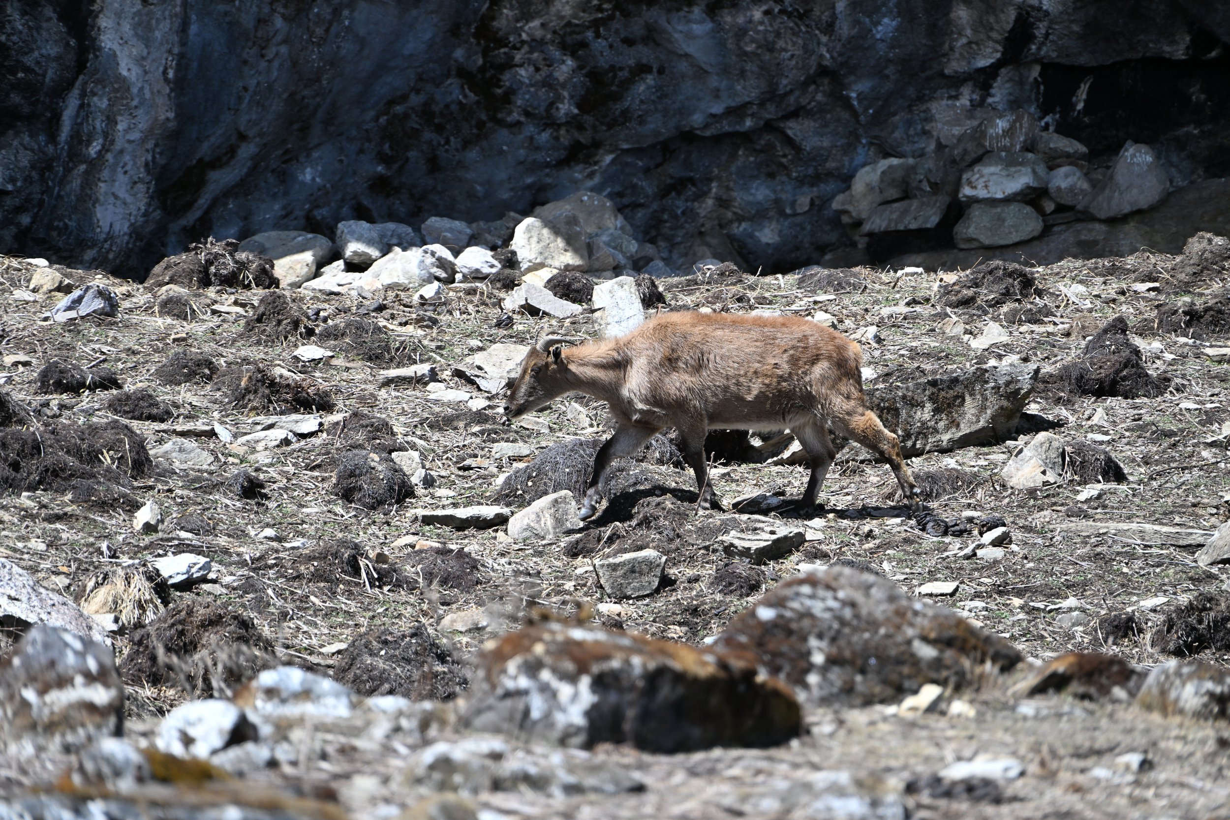
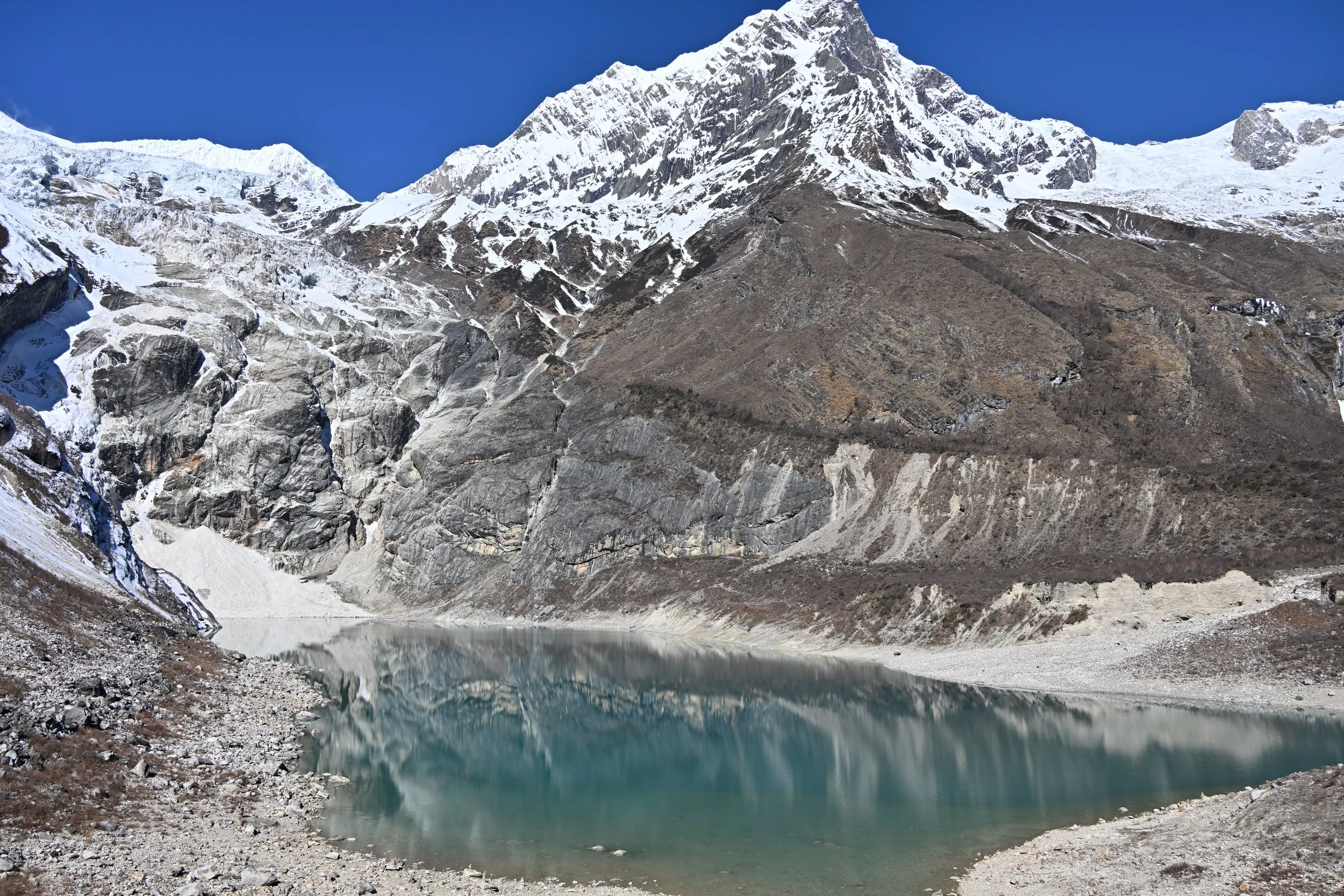
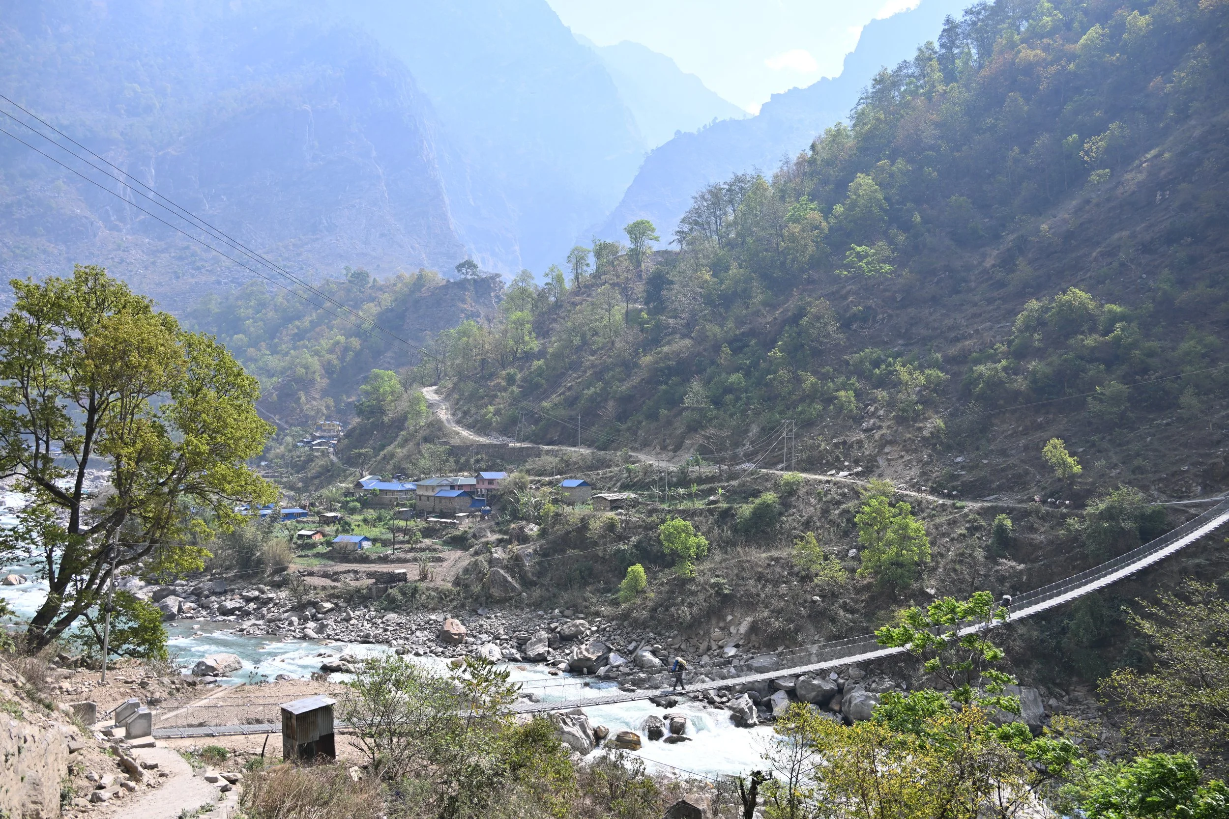
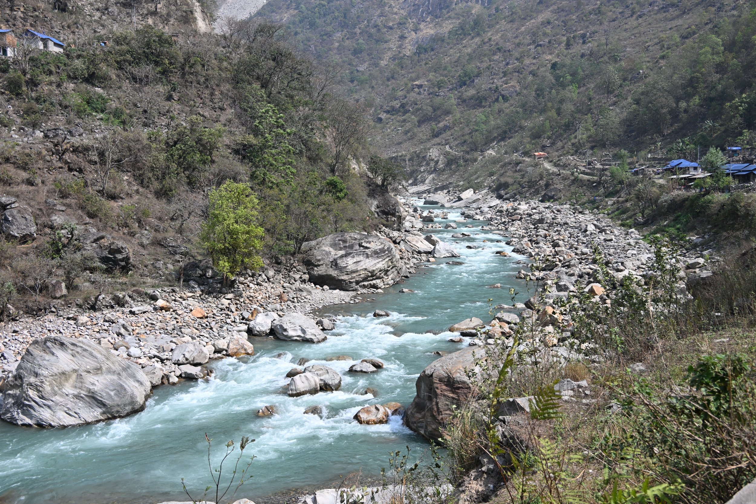
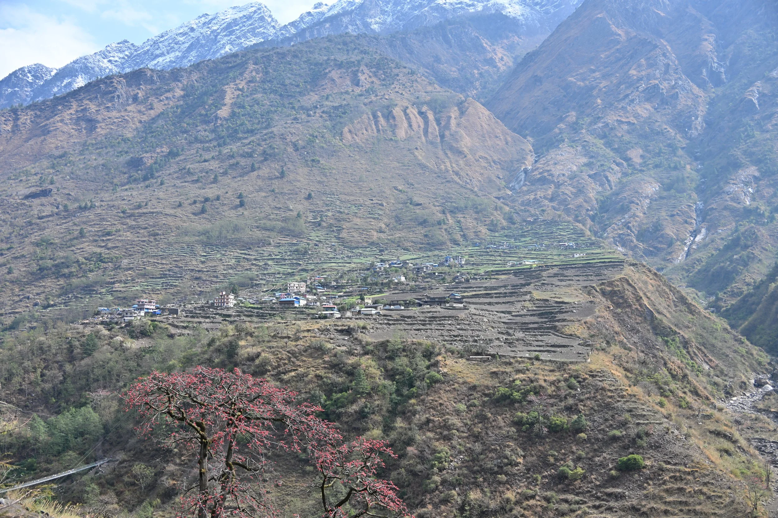
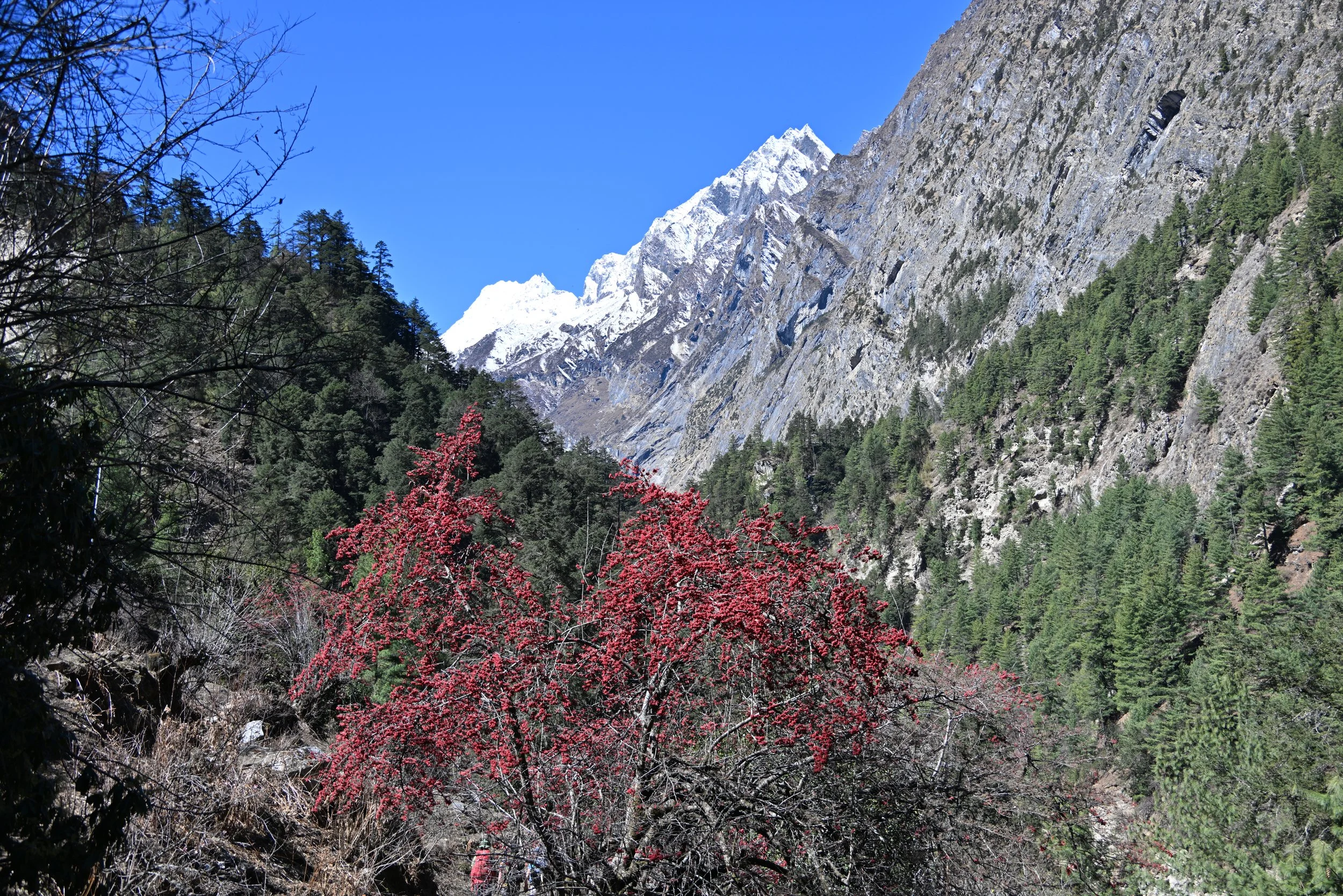
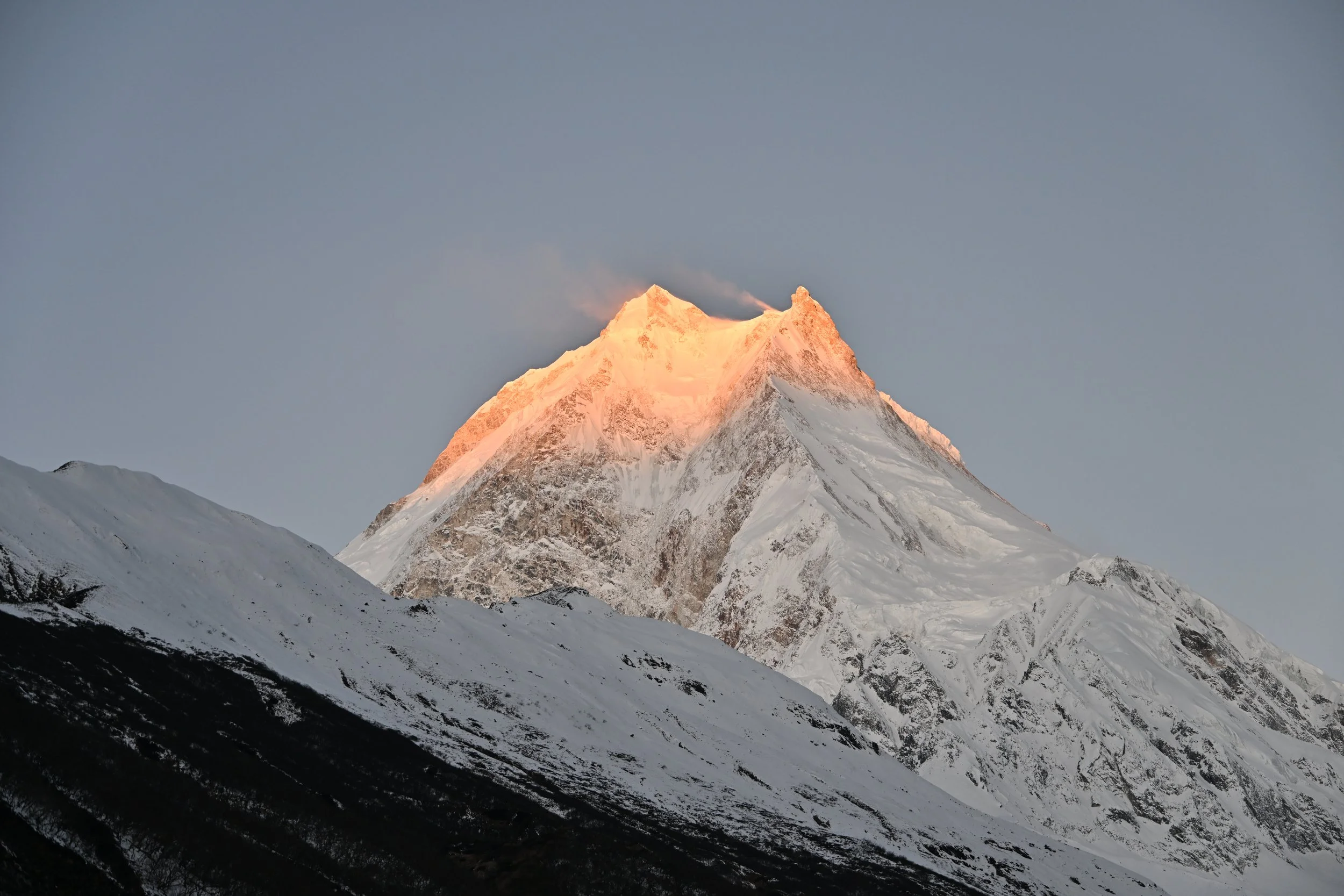
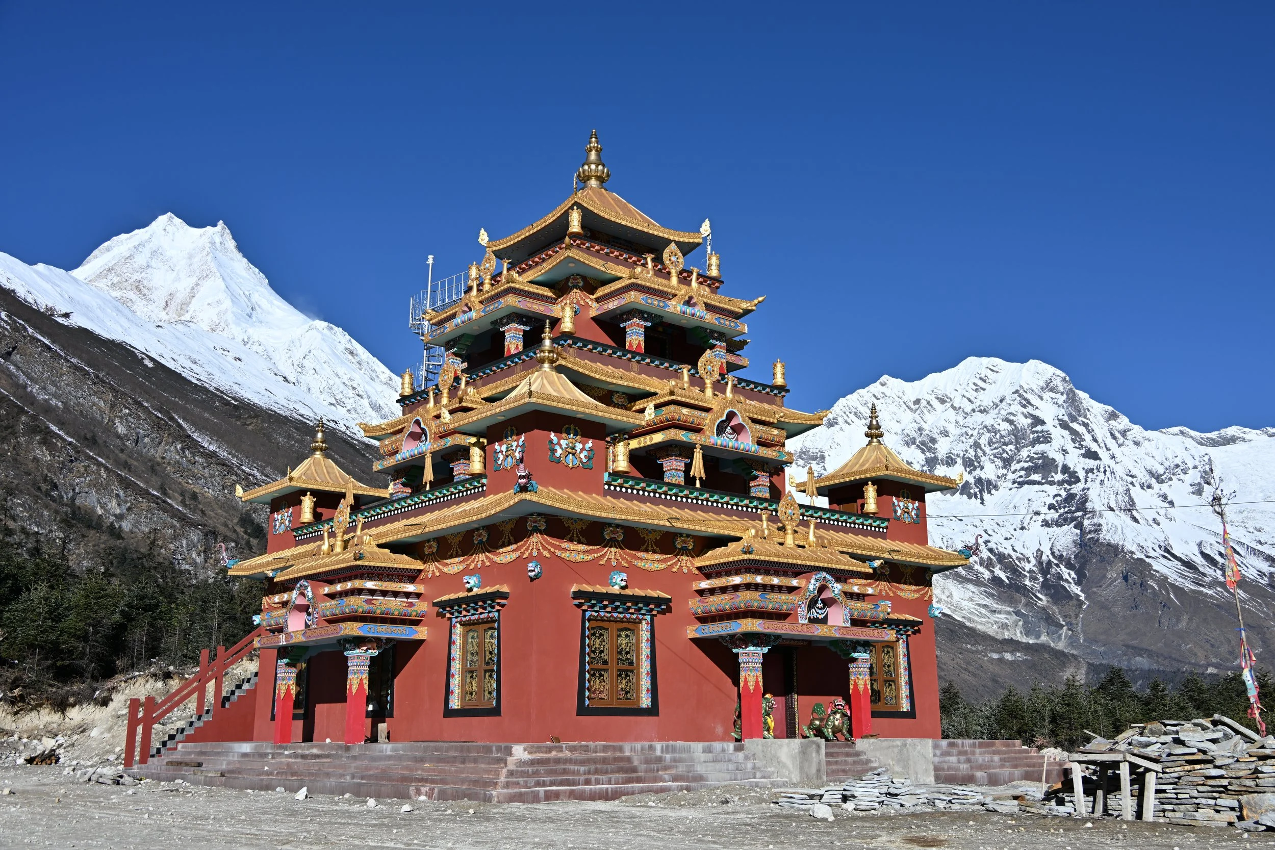
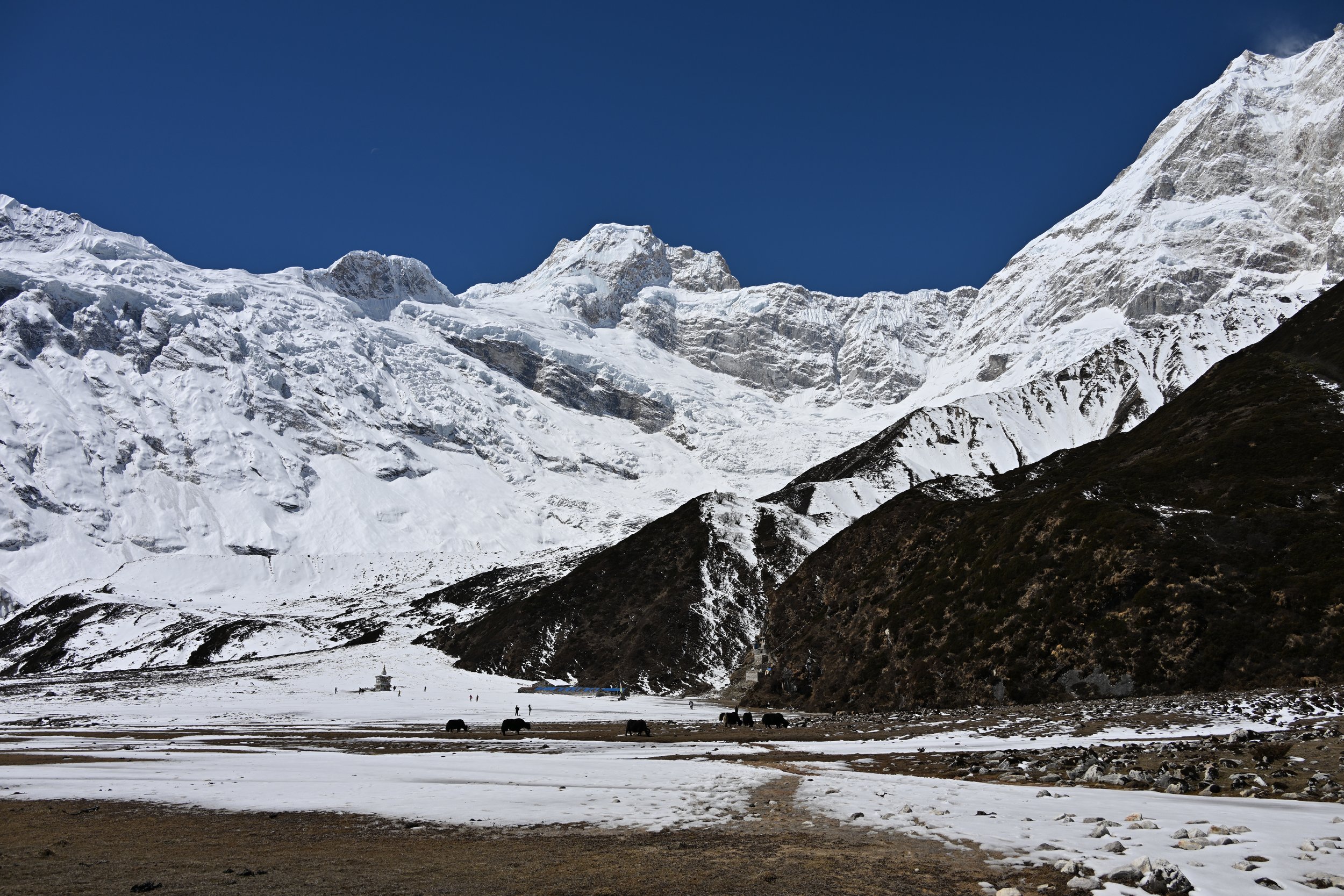
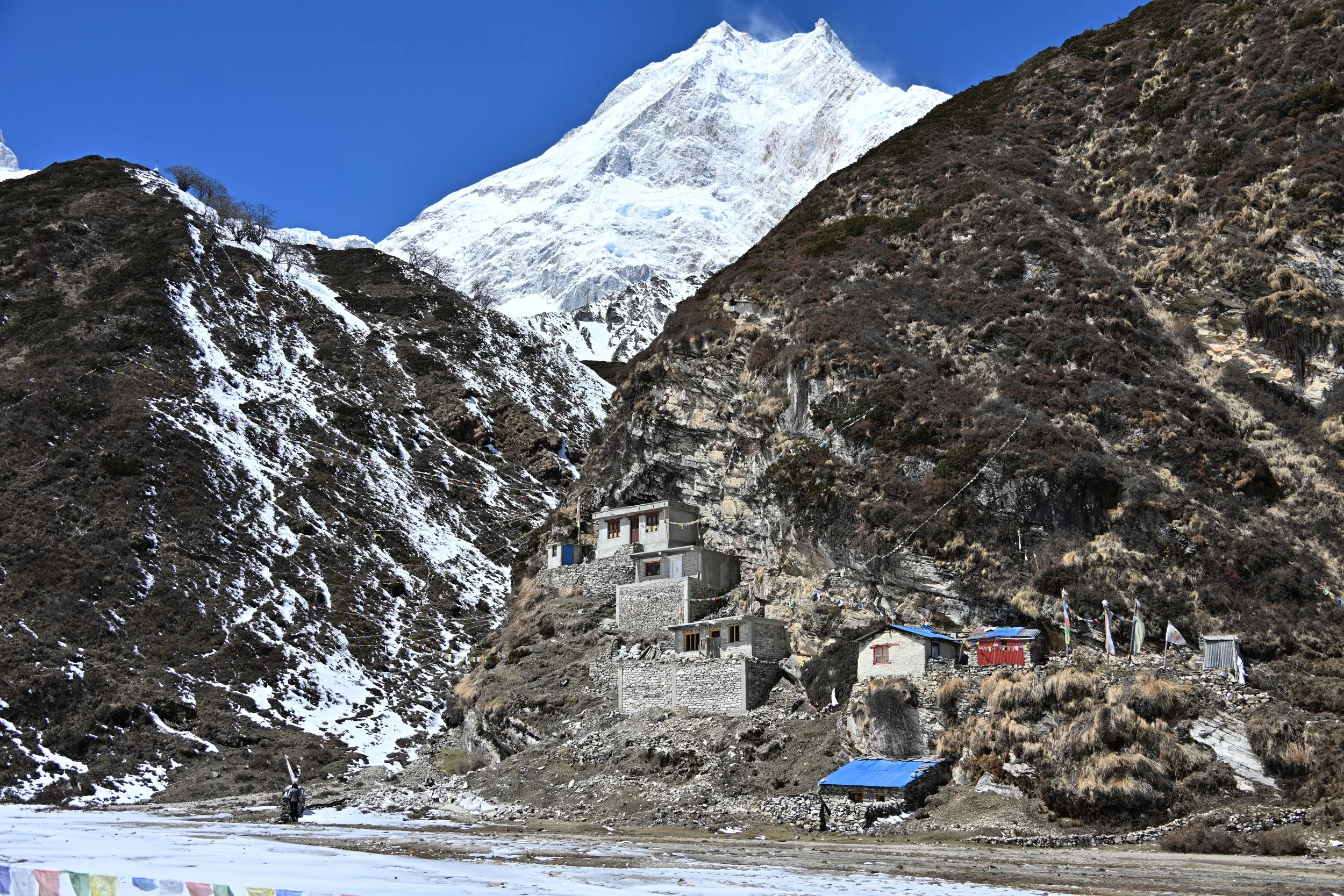
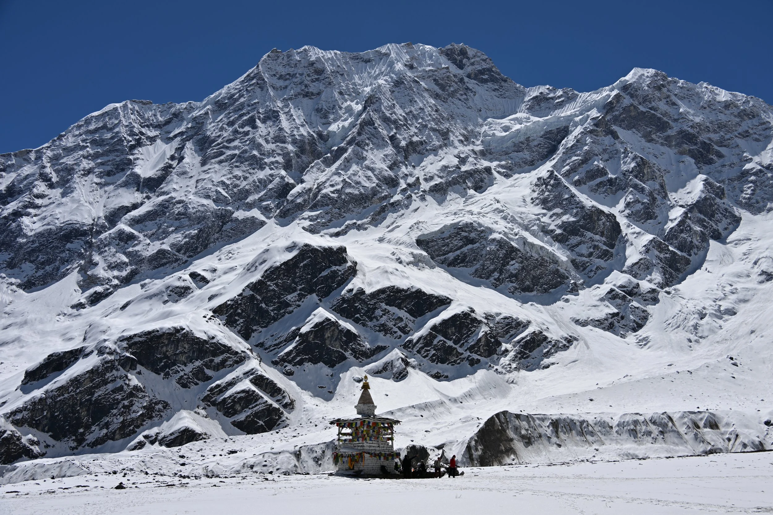
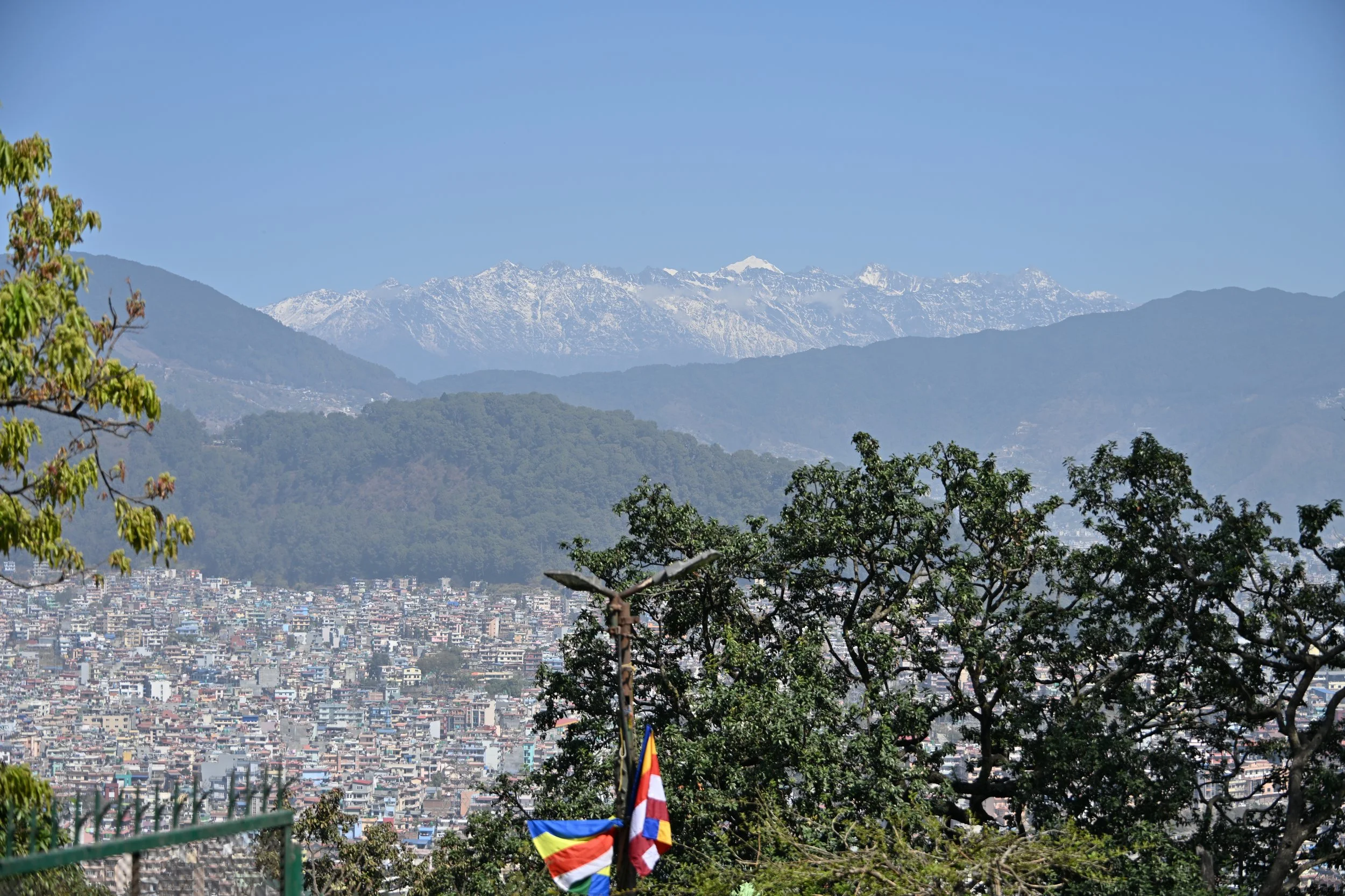
Lisa previously provided many beautiful pictures of towering mountains from our trek.  Just how high were they?  During the trek, we saw ten separate mountains that were at least 6500 meters (21,325 feet) tall--more than 1000 feet higher than Mount McKinley (Denali)!

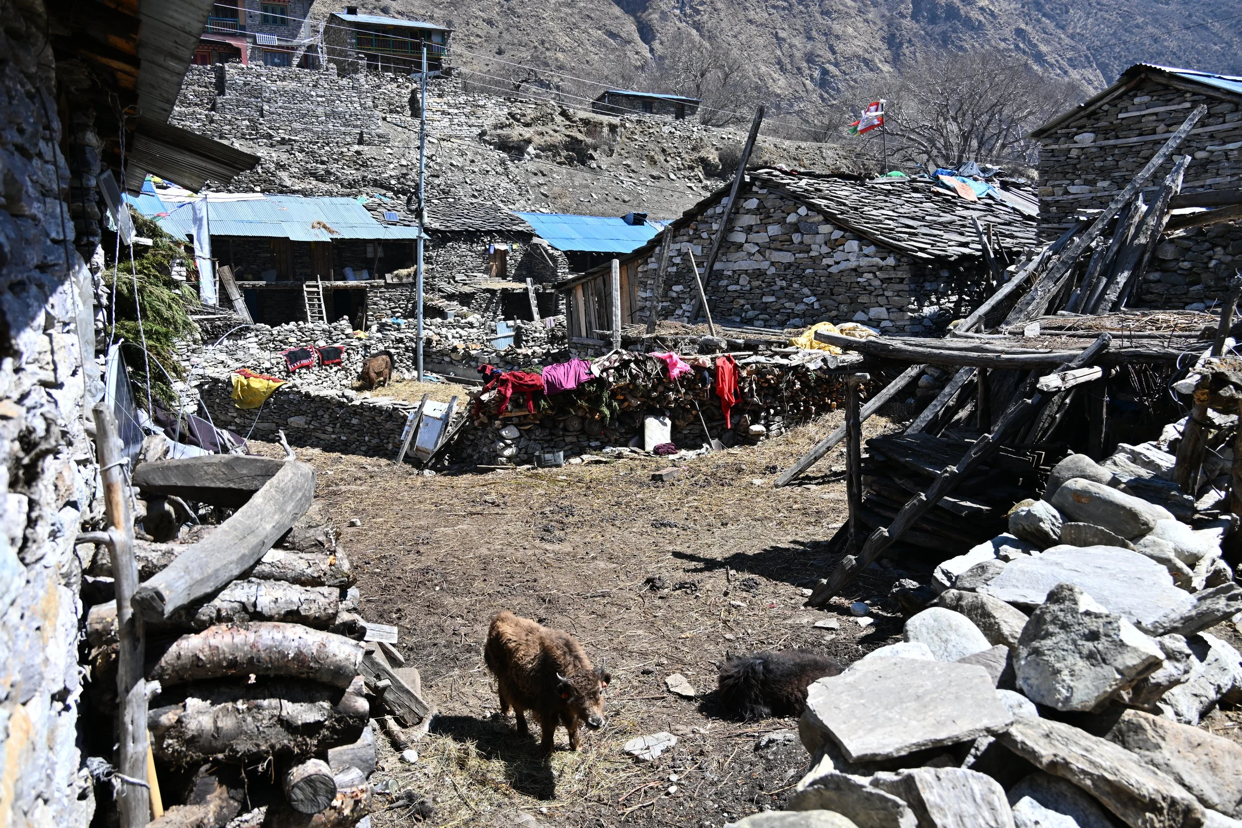
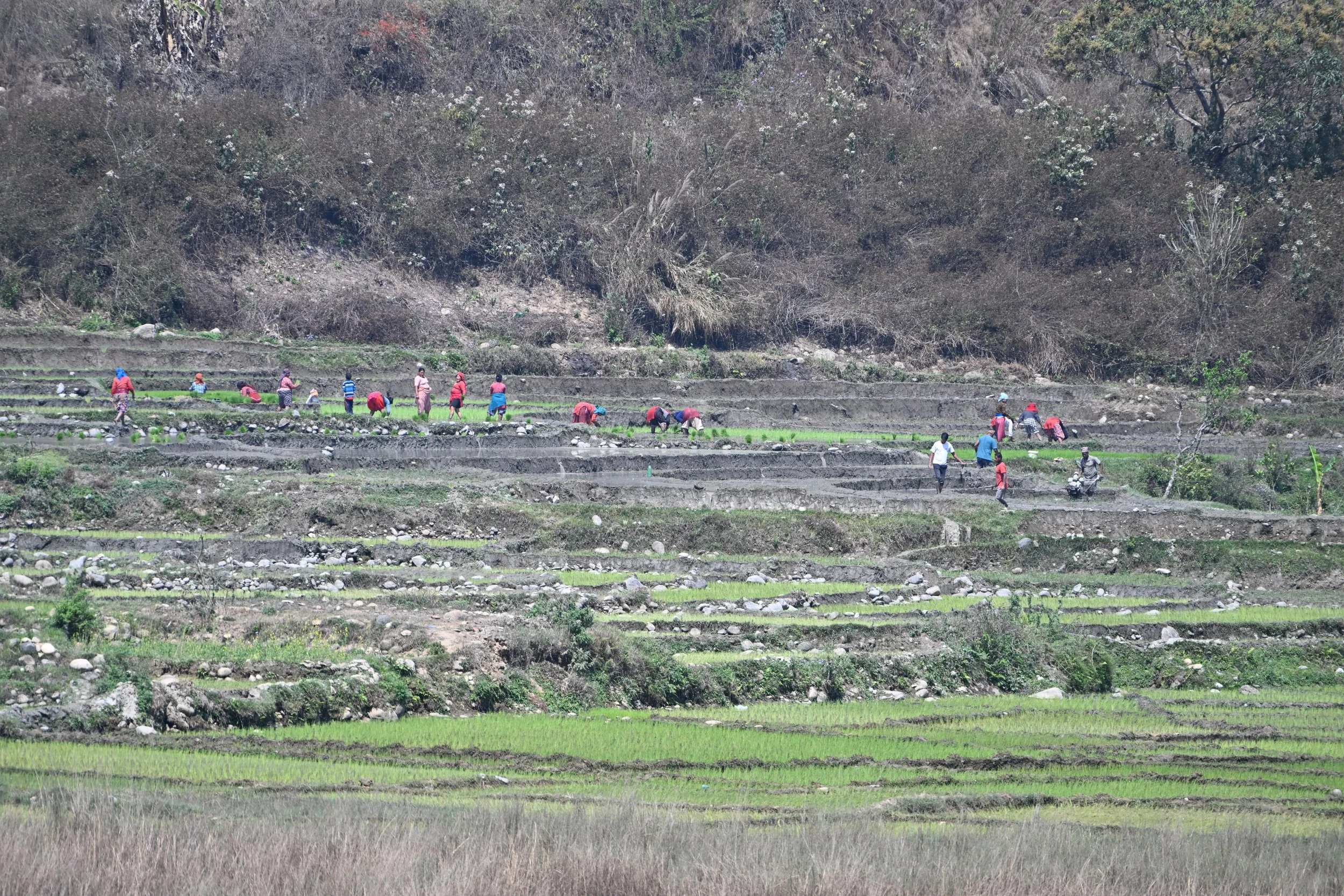
The trek also made us realize how lucky we all are to live in wealthy countries.  As you could see by the previous pictures of porters carrying such things as construction supplies and water tanks up the mountain (and, in one unphotographed case, a queen size mattress!), mechanical assistance is at a premium in Nepal.  Even our guide, however, was surprised at one instance of human ingenuity overcoming the lack of a donkey or ox:

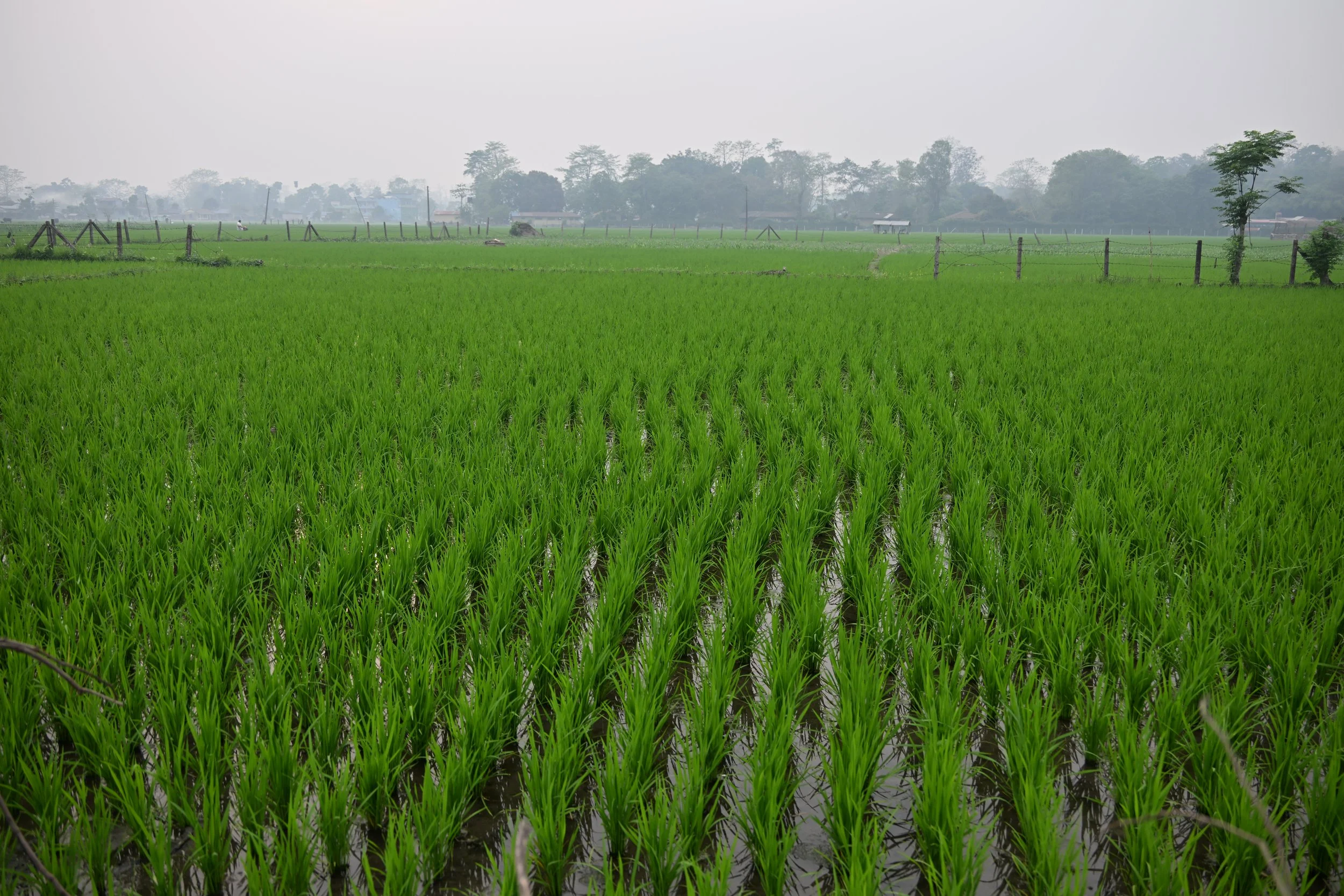
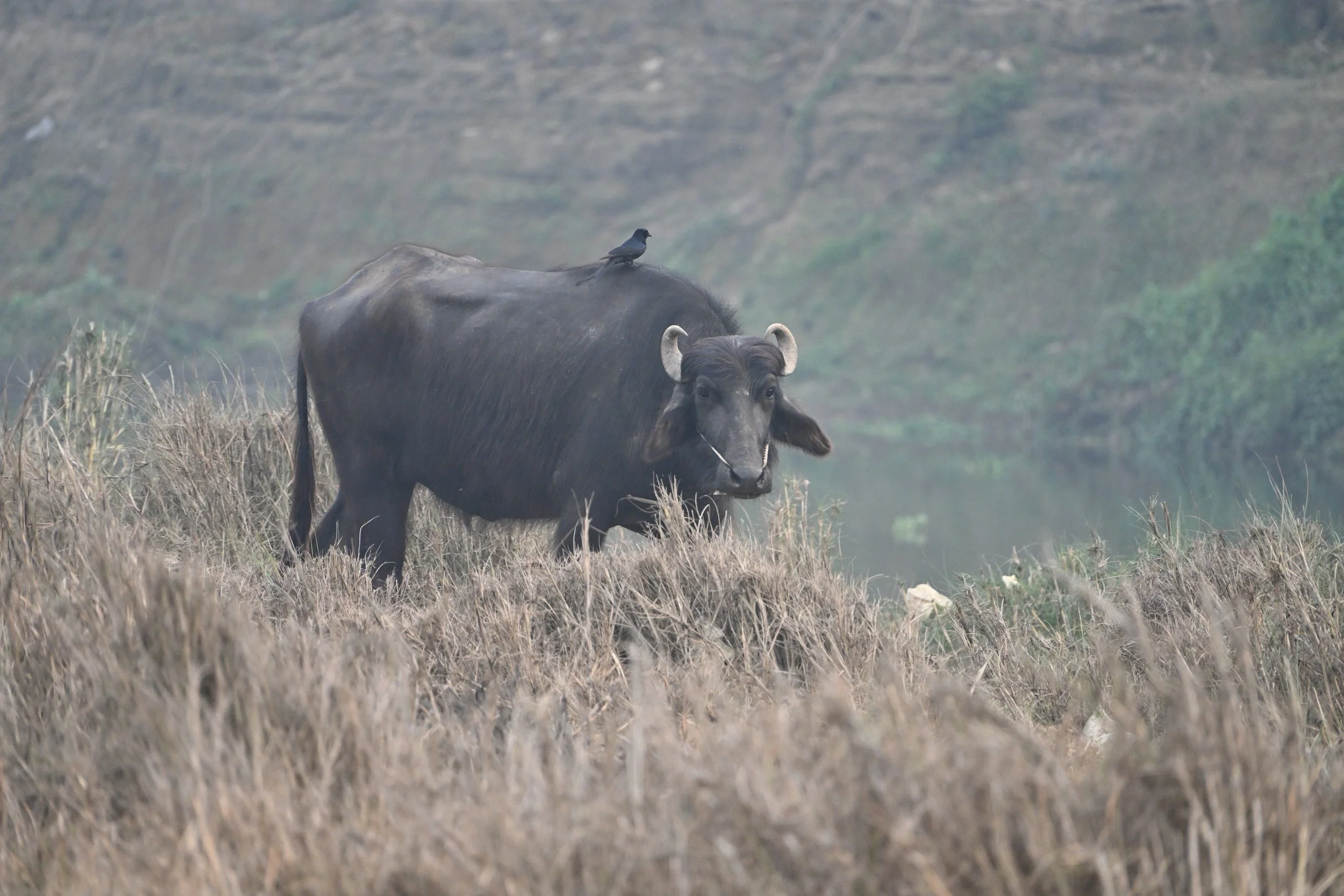
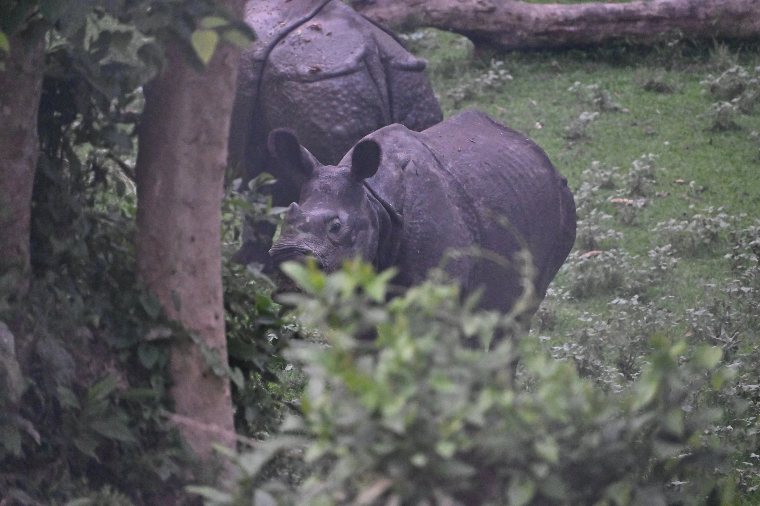
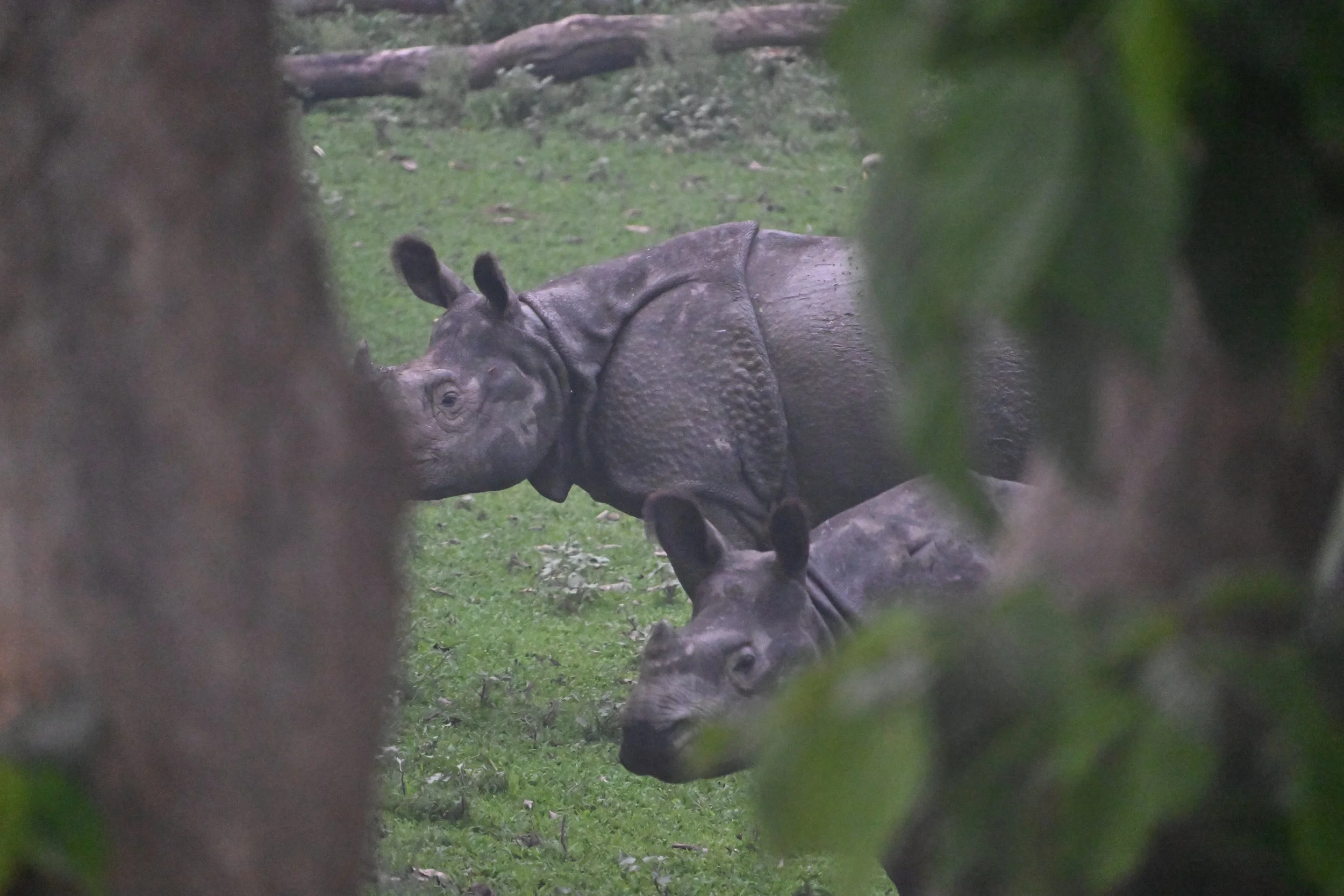
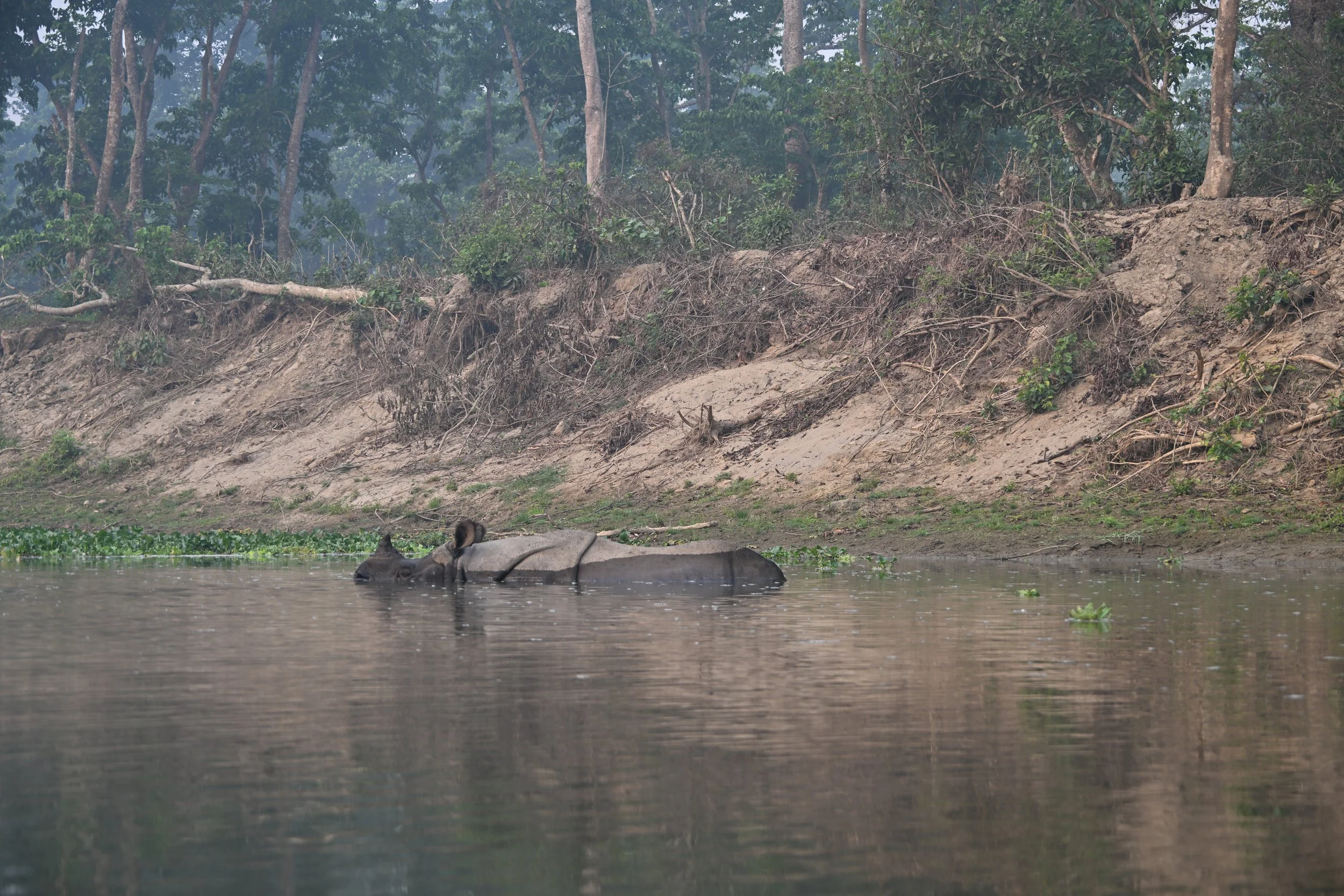
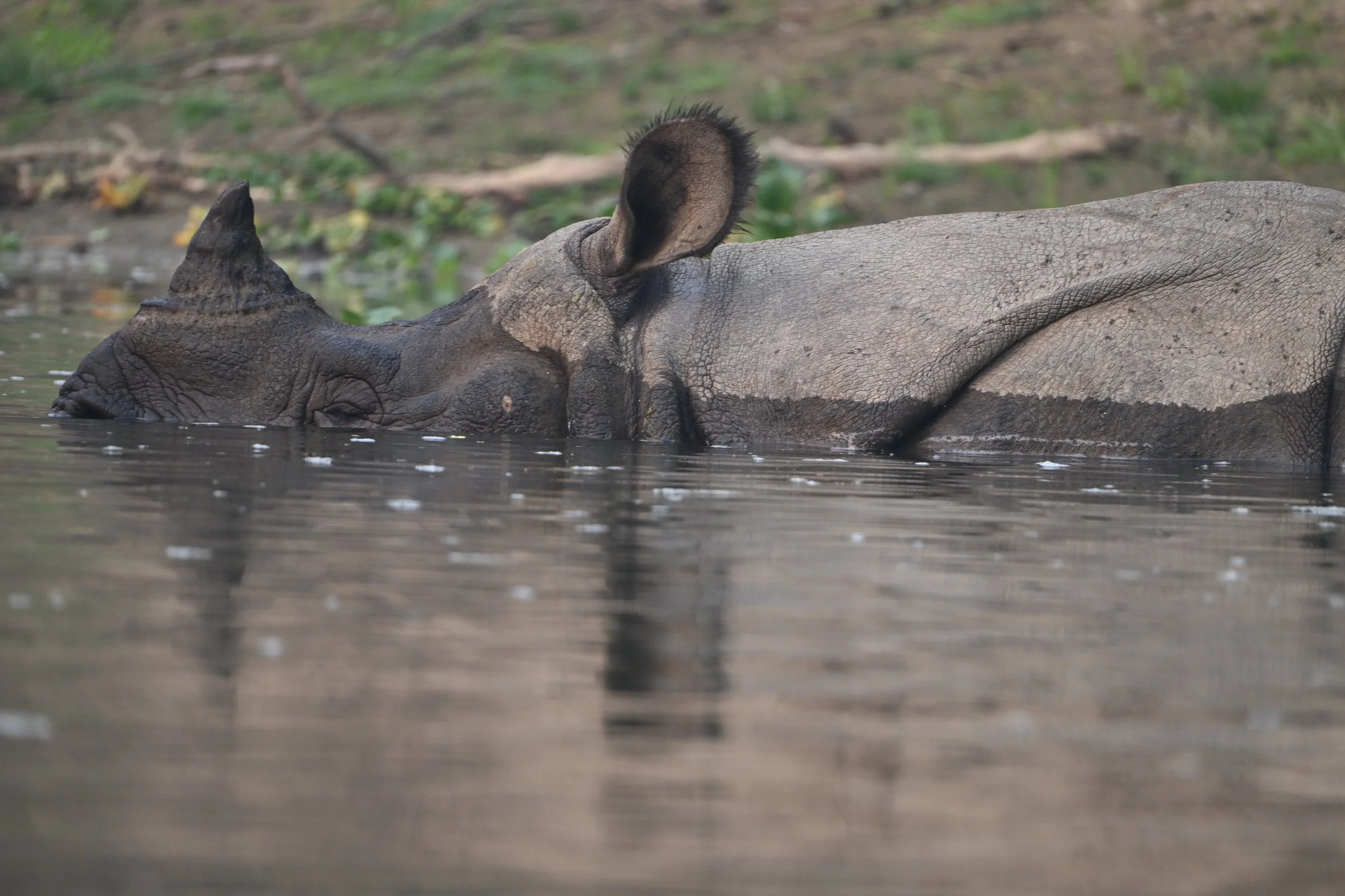
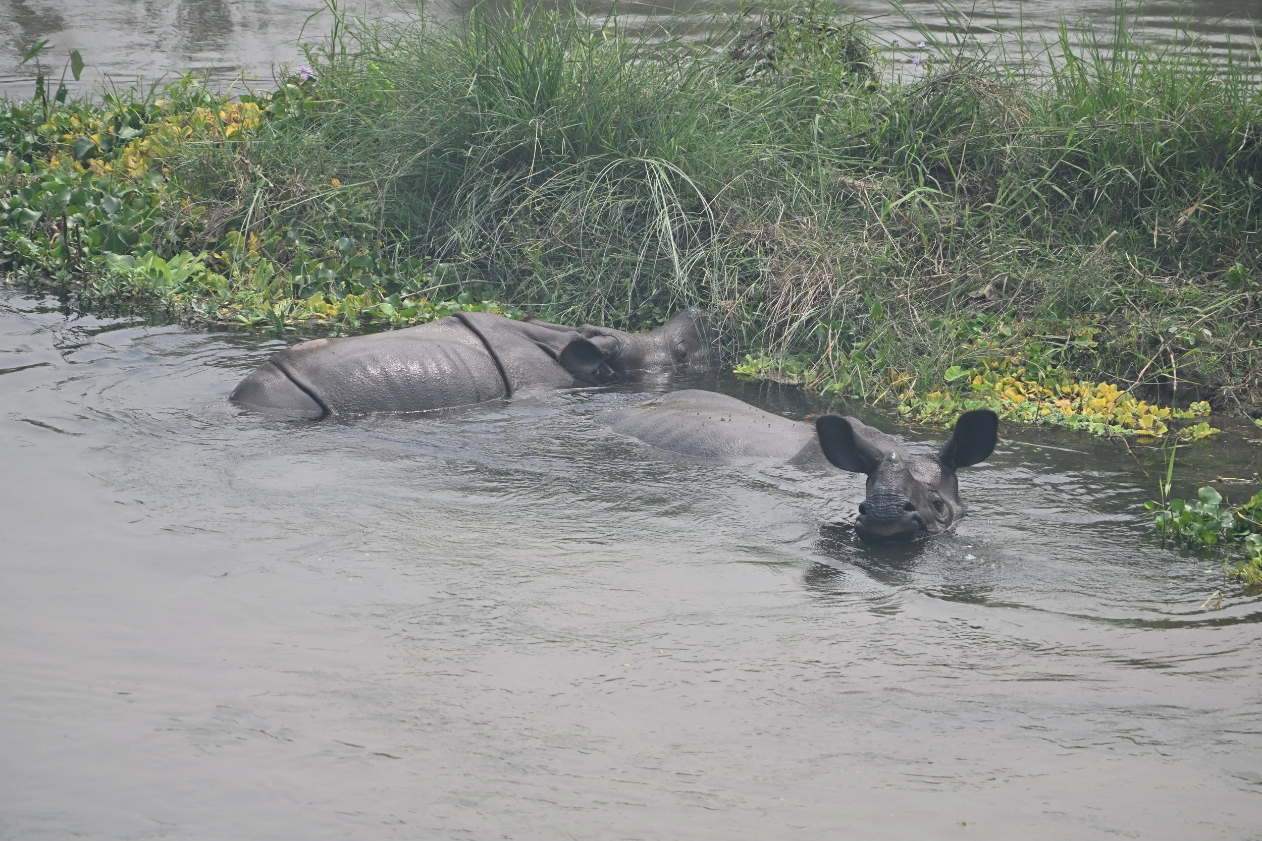
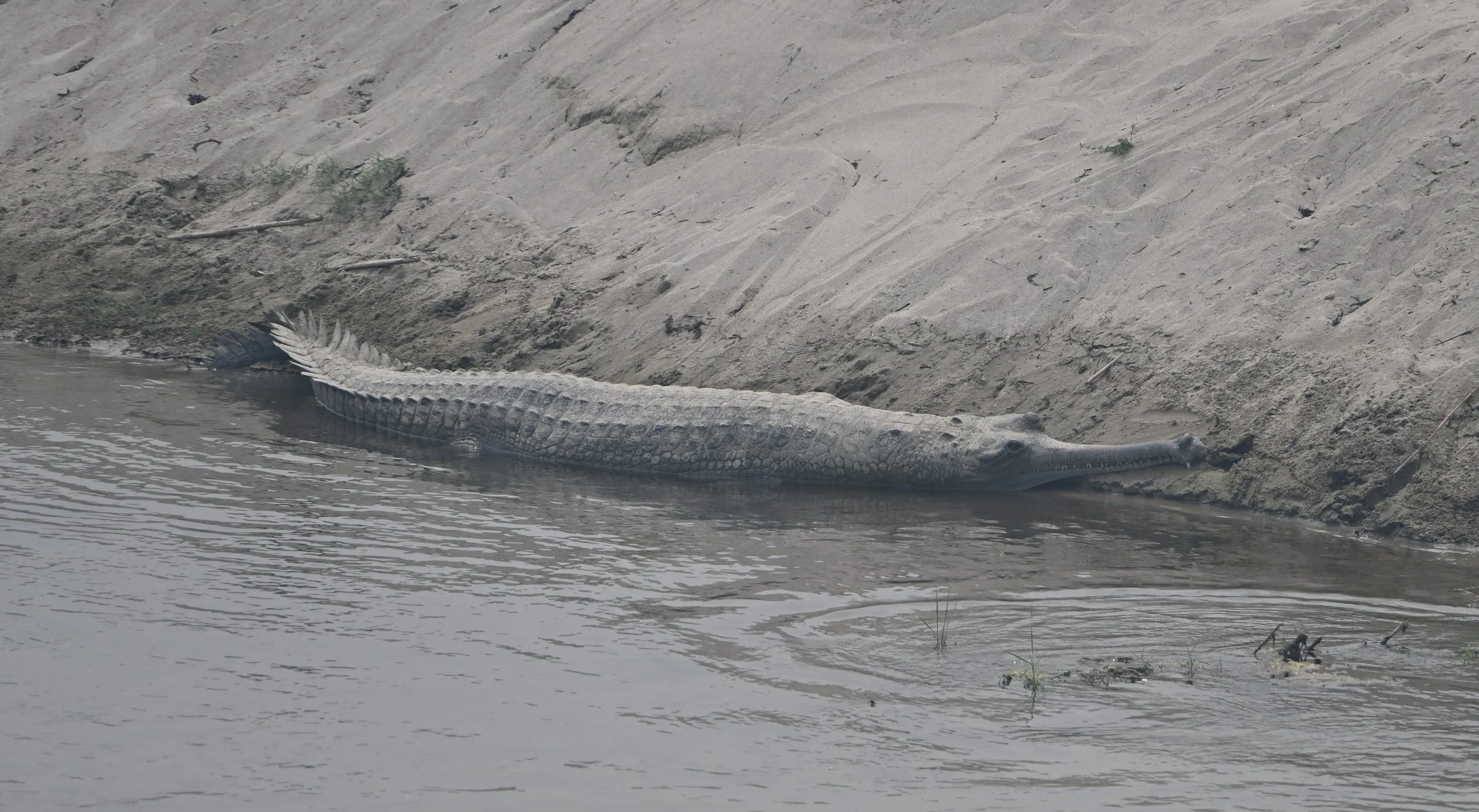
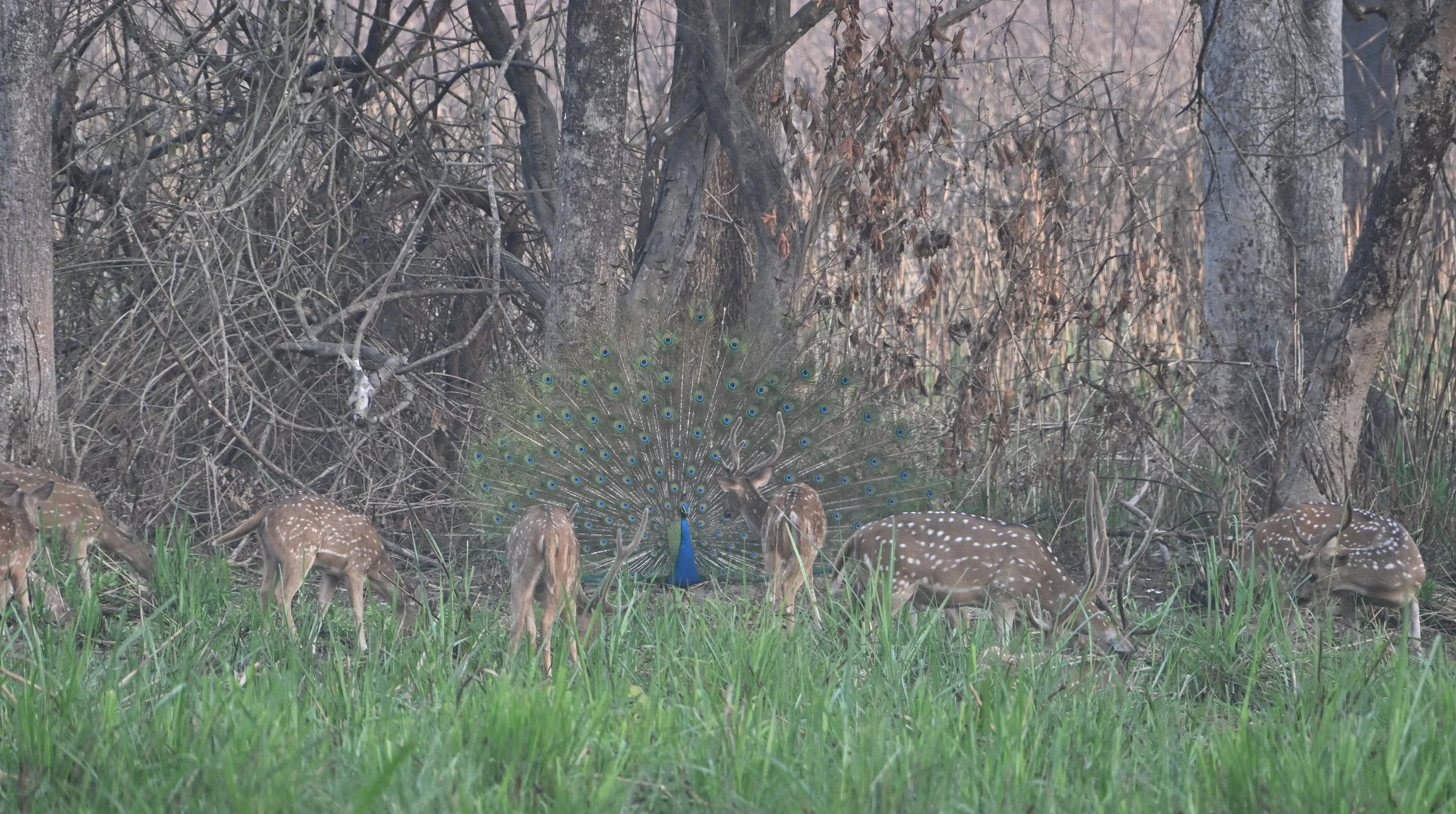
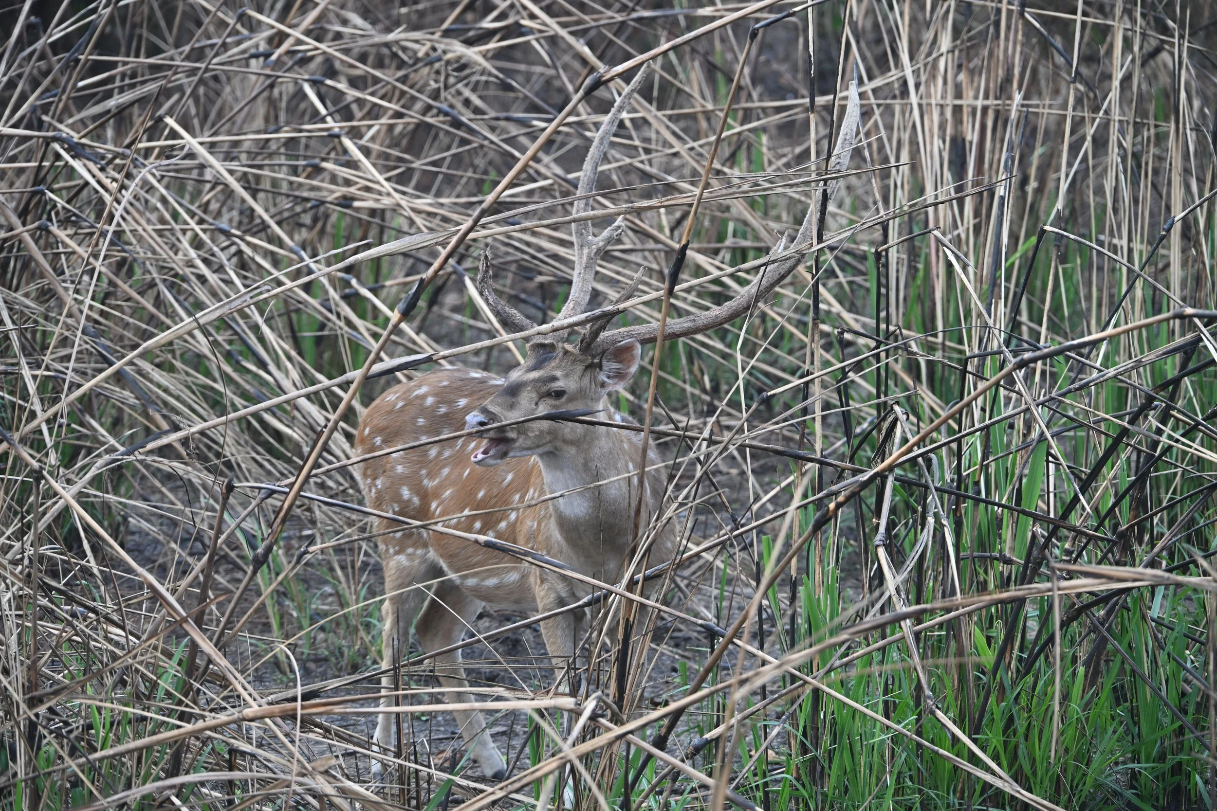
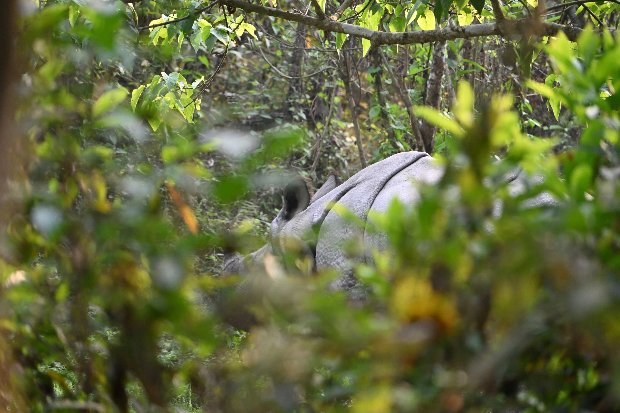
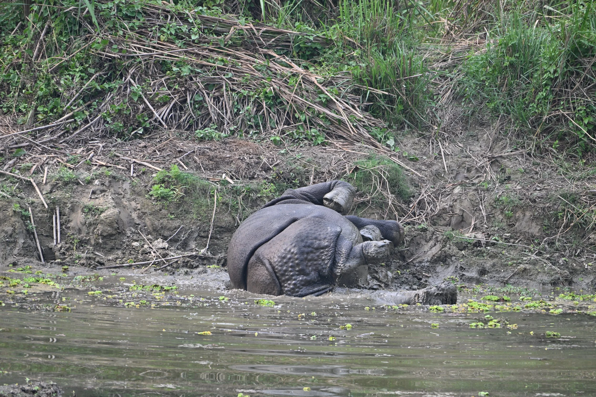
Two things that surprised me about this trip were: 1)Both Nepal and Bhutan have rhinos and elephants in their low-altitude southern regions (I’ve always just thought of them as being the home of towering mountains); and 2) Both countries, despite their snow-capped peaks are basically in the same latitude as Florida—with most of our travels ranging between the latitudes of Orlando and Tampa.

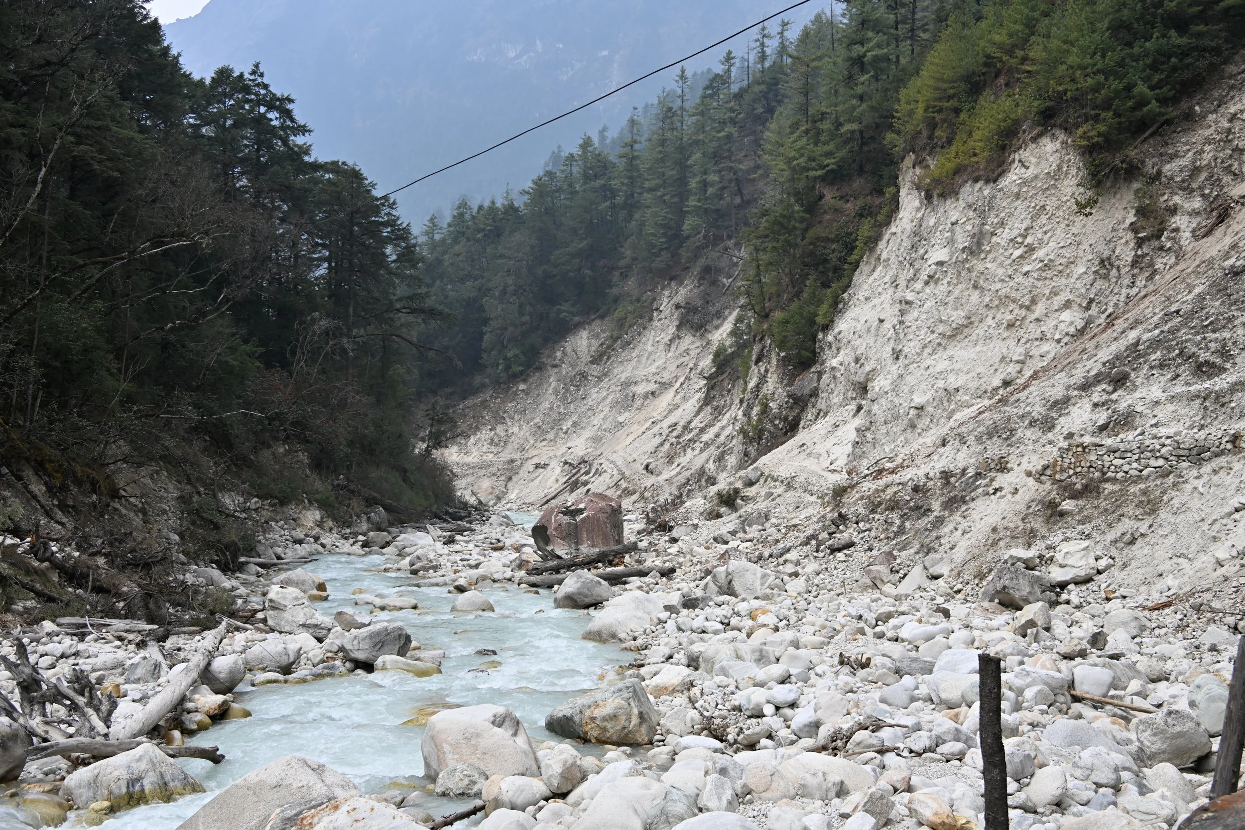
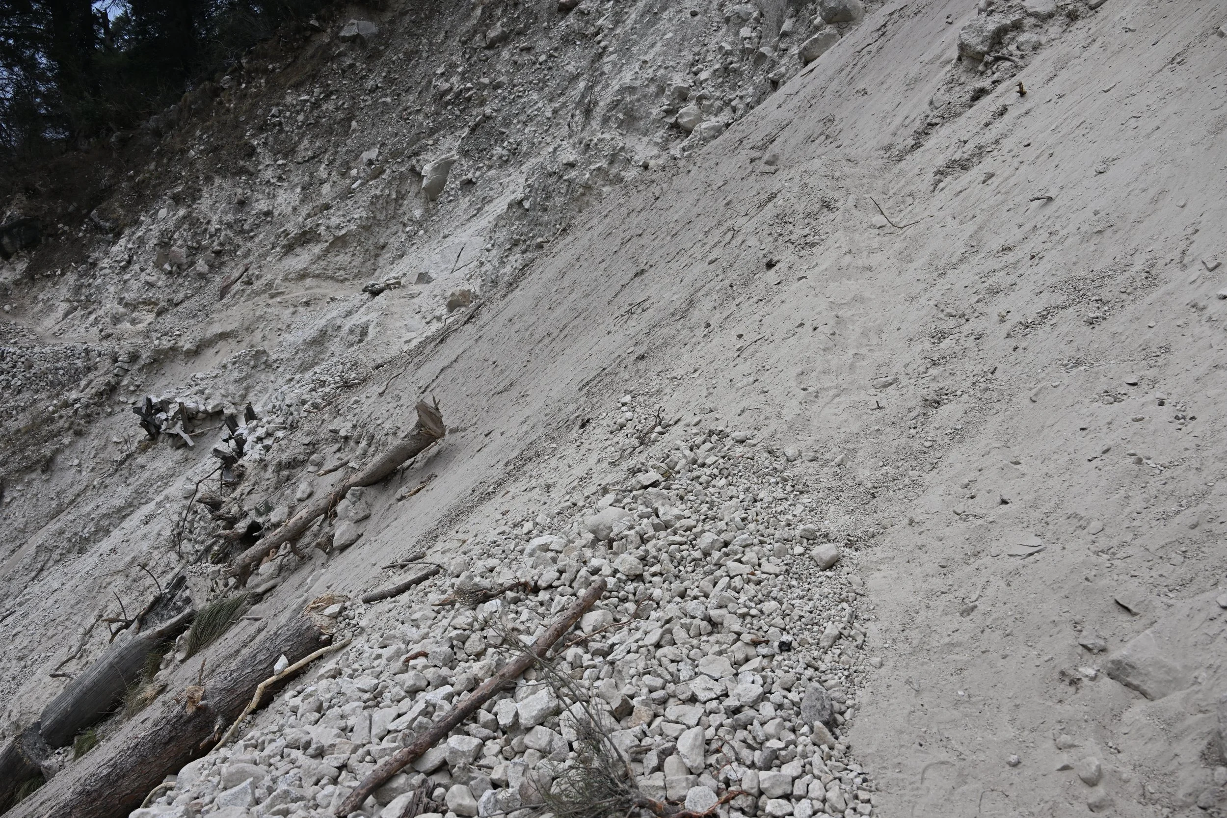
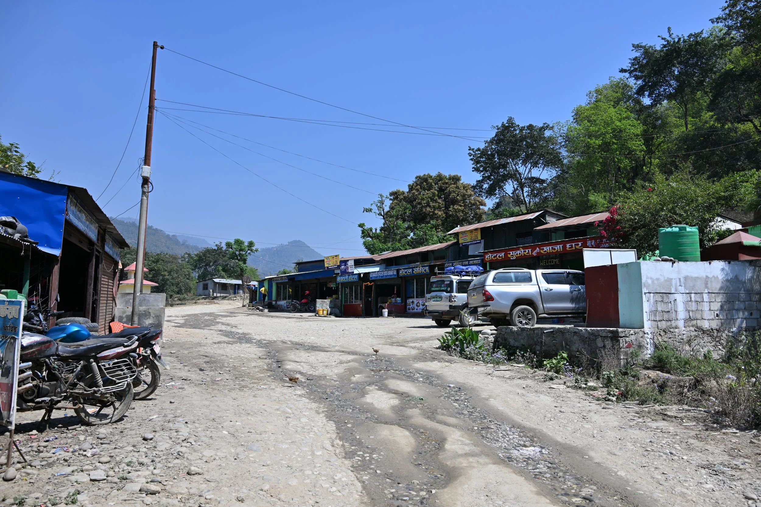
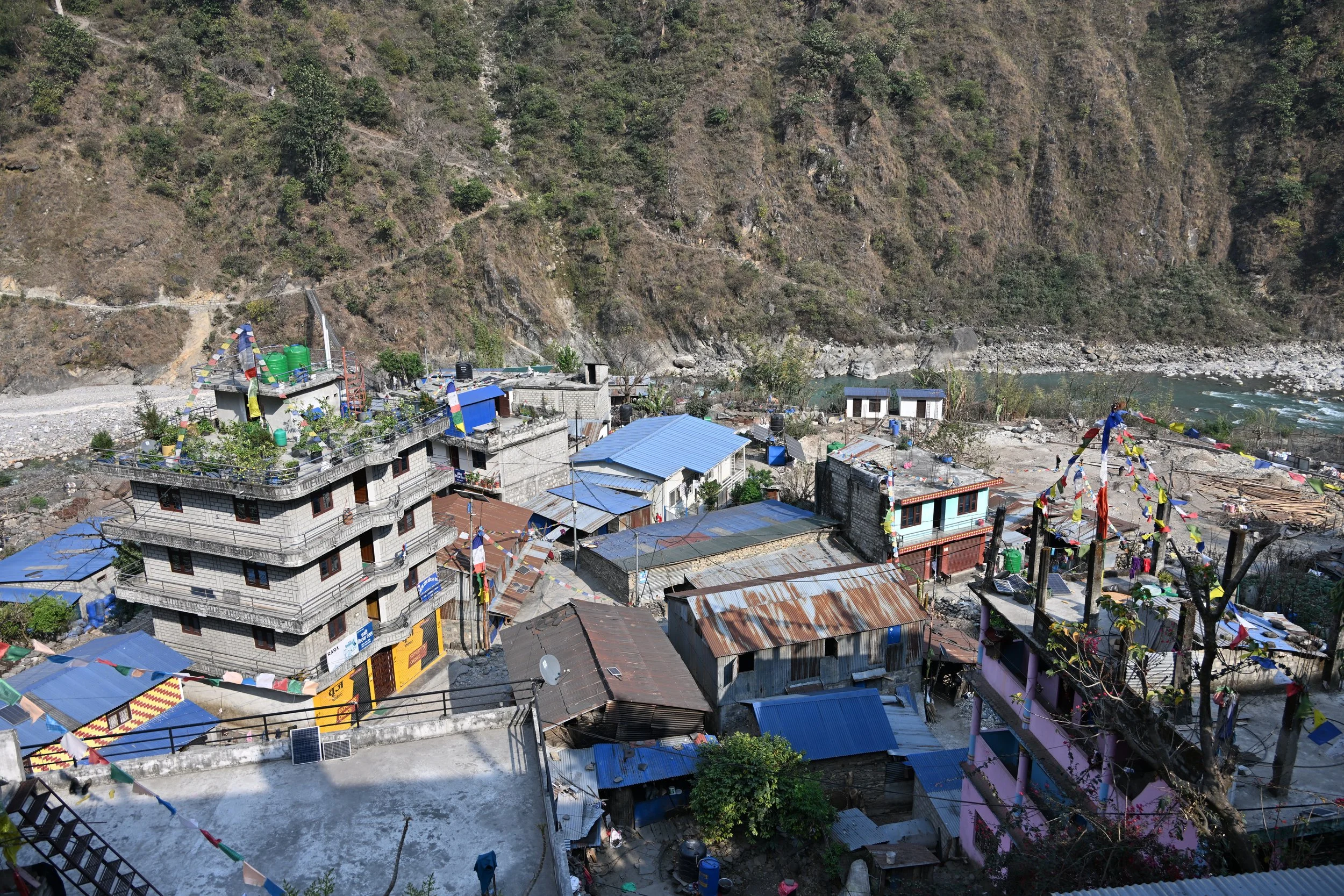
Finally, in a 2022 post, we remarked that because of the impact of tectonic forces under the Andes, the patron saint of Colombia should be “Our Lady of Perpetual Construction.”  To which Nepal says “Let me introduce you to Lord Vishwakarma, our god of engineering and construction.”  Between the forces uplifting the Himalayas and the annual monsoons that attack the most recent improvements, the roads all seem to be under repair and construction—and progress is slow.  Our 190 Km (118 Mile) trip from Chitwan National Park to Bhaktapur on the main highway took 6 hours…  And when you got off the main highway in the mountains, things became interesting:

 Luckily, the jeep driver in that video was a local who knew the road and his vehicle well.  Over the course of a 2 hour drive, we were comfortable even as he took phone calls, and drove with one hand in our seatbelt-less vehicle!  Perhaps someone was looking over us that day:

In any event, that is it for this trip, and we will be back with something completely different in the not too distant future.

Chitwan National Park

This is the first national park of Nepal, established in 1973. It is located southwest of Kathmandu, near the Indian border, and has an area of 368 sq. miles. We stayed in a hotel just outside the park, and on our first evening there, went on a walk along a river and through a local village. The rice paddies were lush and green…

… and the animals along the river…

… were quite varied -

The fearsome guy above is a Mugger Crocodile. That common name comes from the Hindi word “magar” meaning water monster. These live in fresh or stagnant water, in contrast to saltwater crocodiles. The latter have a much narrower snout.

We next encountered Eurasian Hoopoes…

… and a White-throated Kingfisher -

And just as we were about back to the hotel, we spied a mother and youngster…

… Greater One-horned Rhinoceros! We were told very emphatically by our guide that they are not called Indian rhinos.

In 1950 there were an estimated 800 rhinos in the Chitwan area, but after the area was opened to settlement by farmers, that number had dwindled to 95 by 1970. With the establishment of Chitwan park and strong anti-poaching work, their numbers are back up to near 800 again.

The next morning we went on a river in a dugout canoe -

… and silently floated by…

… our closest encounter during our entire stay.

We also saw lots of neat birds, including this uncommon Lesser Adjutant Stork…

… and this regal Little Egret -

At the Elephant Breeding Center (which breeds elephants for use by the army and park rangers), it was very difficult to see them chained up, but the 10 day old baby was pretty cute -

That afternoon we were to go on a jeep safari, but even before we boarded the jeep, the river treated us to another mother and youngster…

… as well as a Gharial, another type of crocodile -

Our guide told us they need fresh, flowing water, rather than the stagnant water that the Muggers prefer. We visited the breeding center in Chitwan, where eggs laid in the wild are collected and hatched, and the gharials are allowed to grow undisturbed for 5-6 years before being released. This species is considered critically endangered.

Ok, back to the jeep safari…

(of course a reflection) :)

We saw several large herds of Spotted Deer, which are fairly small (see how they compare to the peacock in the next picture)…

… while they sport quite impressive antlers -

when they raise their heads, the tips of the antlers nearly reach their tail!

On our second afternoon, we had another jeep safari in a different portion of the park, and we came close to three different rhinos deep in the bush -

This was my attempt at video -

(as usual, click the link at the bottom of the email to watch the video in your browser)

We also spied some Black-faced Langurs…

… with their amazing tails -

Since I don’t have a spectacular ending photo, I’ll just wish you a happy roll-in-the-mud!

Last word on Nepal trekking

I’ll open with the flag, so I don’t forget to share -

It’s the world’s only non-rectangular flag. The red stands for bravery and the rhododendron, the national flower, while the blue border represents peace. The moon and the sun are included in hopes that Nepal will have the same longevity.

Ok, back to hiking… we took a last look around at the pass, before tackling the descent. At the pass, we actually didn’t know what the back side was going to be like until we were in the thick of it. It was steep, with innumerable switchbacks loaded with snow and ice. It was also beautiful.

These shale looking hills with glaciers behind them were striking -

Speaking of “hills”… our guide told us that, in Nepal, names are only given to mountains higher than 7000 meters. All the others are just hills. :)

As we continued descending, we started to see trees again -

Just to summarize… the day of the Pass crossing, we hiked a total of 22 km (13.67 miles), taking 12 hours (including an hour break for lunch), while ascending 2,000 ft, then descending 5,000 ft. Whew! Did we sleep well that night!

Above is the little village we spent the night in, and you can see the mountains we descended from, while the next picture shows the view we had as we left the next morning -

Now, this day’s hike was probably my favorite of the whole trek. We were heading down and out of altitude (no more thin air and panting), the pines surrounding us were bathing us in fantastic aromas, and flowers started showing up.

Rhododendrons, cherry blossoms and ‘old man’s beard/Spanish moss’

We had already seen the bright red rhododendrons, but when we saw magenta

… and then pink

… I was in seventh heaven! I had already resigned myself to only seeing a few red rhododendrons, because we were too early for the hillsides to be covered in the variety of colors I was dying to see. Needless to say, I was a happy woman… until I saw what the trail was like ahead -

There had been multiple rock- and landslides…

… but luckily, plenty of boots had trod a fairly well demarcated path until we got to…

There actually was a trail there, heading upwards in the sand, but I sure didn’t like walking on a thin ledge of shifting sand that was only as wide as one boot -

This was truly the hairiest part of the whole trek!

Here are some random pics that didn’t fit the storyline, but I wanted to share -

Our stats summary - 11 days of hiking, totaling 148 km (92 miles), starting at 930 m (3051 feet) elevation and peaking at 5130 m (16,831 feet).

Keep on Trekking...

As we descended from the yak pastures and the Pungan Gompa monastery, we passed a herd of Himalayan Tahr (mountain goats). The males are much hairier and with bigger horns…

… than the females -

We had not only donkeys pass us on the trail, but yaks too. (another video here, so click the link at the bottom of the post to open it in your browser so you can watch)

(note the variety of horn sizes and orientations above)

Now a few words on accommodations on the trek. We were told we’d be staying in “tea houses” but had no idea what that meant, other than it wasn’t camping in tents. We had to provide our own toilet paper, shampoo and soap for the trip, as well as bring our own towels. A ‘luxurious’ room would have a double bed and in room electric socket to charge our devices, while less fancy places had a bed and hopefully an “en suite” bathroom -

For those who might not recognize it, the attached bathroom above had a squat toilet. These are everywhere in Nepal, and our thighs got very strong on this trek! Sinks and running water are a rarity, and soap and towels are not to be found. Locals think nothing of running their hands under a pipe at the side of a trail and then letting them airdry in freezing temps. We were lucky to have hot showers at a number of our stays, but most of the time, they were in a separate shed away from our room, and if there was a window, it was just a square opening in the wall with minimal cover over it. Try getting all wet standing on a cold concrete floor with 40 degree wind blowing on you, and I’ll bet you won’t be too happy with your “hot” shower. So we treated this trip as glorified camping (but definitely not glamping). Nicely, every bed had clean sheets and comforters with clean duvets, even if none had heat.

On an acclimatization day, we stayed at our tea house (at 12,000 ft) for 2 nights, and only took a short hike to Biendra Lake (above). There we met a cute little guy sharpening his pencil to practice writing his English letters -

We also strolled through the village, discovering that the locals lived in the house level above the yaks and chickens in the yard, and laundry was always hung out to dry everywhere on a sunny day -

This was also where we saw yak dung drying on walls…

… and higher up the trail warmed up next to stoves in tea houses (above the treeline) powered by dried patties.

Our hiking next led us to a stop around 12,700 ft where we did a short walk above the village…

… to sit and watch for marmots -

We were surprised at how stocky and muscular they were -

From what I read about Himalayan Marmots - they are among the largest in the world, weighing 9-20 lbs! I found their long tails, legs and toes fascinating.

Onward and upward was the plan every day. Our itinerary originally had us spend another rest day at this altitude, but because we hadn’t developed any signs of altitude sickness, and the weather was forecast to be great for the next 2 days, our guide recommended we push on. We were game for this, so we just kept climbing…

… past glacial moraines…

… until we found the Stairway to Heaven. :)

At this altitude, we were just crawling up the mountain. I just kept putting one foot in front of the other at an unbelievably slow pace (about 1 mile per hour) so I wouldn’t be panting, and we always finished our planned hikes. We were among the oldest people we saw during this trek, with most hikers being 20 - 40 year olds. The younger ones would blow past us, but then take longer breaks, and we would be the turtles, just plodding by them, not stopping.

This was the camp where I started the Nepal posting…

(sorry it’s kinda distorted - I must have tapped the ultrawide option on my cellphone)

… and there definitely were no en-suite cabins. In fact, the stone hut in the left side of the picture above contained the only 2 squat toilets for the 15 or so hikers spending that night, at over 14,000 ft. Of course, that would be the night that I had to get up three times during the night!

So that we would be at the pass the next day before winds would pick up, we had to leave at 0430. Steve took a reasonably good selfie -

And we hiked on… and up … and on…

It was brutal, but gorgeous -

there were hanging glaciers everywhere we looked

The Larke La Pass was anticlimactic…

… as we still had to climb higher…

(see the tiny people near the right side of the picture?)

… before we could start to descend. Steve’s tracker marked our highest elevation gained at 5133 m (16,840 ft). Thus, this is officially the highest we have ever hiked. It took us 5 hours to get up, and more than that to descend to our tea house for the night. We were completely wiped out by a grueling descent in snow, ice and loose rocks, which made us glad we had brought micro-spikes to attach to our boots. As our toughest hike ever, we were glad that this is now in the books. I didn’t take many pictures as we cursed, slid and trudged our way down, but I’ll close with this one, and take up the rest of the story later -

(did you notice the glacier at the right side of the photo?)

Nepal Trekking

I wanted to hike in the Himalayas to truly experience their majestic and rugged beauty.  We signed up with an experienced trekking agency that was very thorough in describing the hiking, and ensuring that we had all the appropriate clothing and gear for a successful journey.  Our English speaking Nepalese guide took excellent care of us all along the way, and prepared us well for each day’s undertaking.  Our porter was a man smaller and thinner than me who carried our 50 lbs of clothing and gear along all the miles of trails that we covered.

That picture above was the first of many suspension bridges we crossed.  For our first two days, we basically parallelled the course of the Budhi Gandaki River.

I’ll summarize all the stats at the end of our trip, but just know that we covered 38 km (24.5 miles) in those first two days, and sweated a lot as we hiked.  We started at about 3,000 ft of elevation.  They grow bananas here!

The ranks of hills…

…definitely grew more imposing as we hiked on –

This was a common sight…

… and we quickly learned how to safely pass donkey trains heading at us – stay on the side of the trail that is against the mountain, so they won’t nudge you off. For the next video, click the link at the bottom of the post to open it in your browser, so you can watch it.

As that train passed us, I was telling the one donkey that got out of line and headed for me, “This is my rock and I’m staying here”.  As you probably noticed, none of the donkeys had lead ropes or were tied to another.  The driver of the train always brought up the rear, and usually there were one or two stragglers walking slowly after him.  The driver in the video said “Namaste!” as he passed.  This is a common greeting in Nepal.

one of those stragglers I mentioned

We saw several interesting things being carried by people (rather than donkeys), like rolls of tubing…

… and a large water storage container (1,000 liters) -

This bridge was called Long Bridge, and it truly was the longest one we tramped over -

Here’s another view of Long Bridge after we crossed it and continued upriver -

As we slowly climbed higher, we saw more snowy peaks -

The trek we were on was called the Manaslu Circuit. It is a less traveled trek than Everest Basecamp or the Annapurna Circuit, and that is exactly why I chose it. Mt. Manaslu is in the western portion of Nepal and is the 8th highest mountain in the world at 8163 m (26,781 ft). My favorite morning (our fourth) was when I got up to catch sunrise lighting up Manaslu…

… and the peaks around it -

That day we started by visiting a new Buddhist temple…

… that wasn’t occupied yet -

My favorite day continued with us climbing really high into yak pastures…

can you see the yaks and stupa in the lower center?

… to reach the Pungen Gompa Monastery at 13,175 ft (4016 m). The yaks were as peaceful as the surroundings -

The monastery was very simple…

… but the setting was just superb -

I’ll share more pictures in the next post, as we continued climbing ever higher.

Return to Kathmandu

As I type this post, I’m sitting looking over a desolate hillside at 14,750 ft. waiting until tomorrow morning, when we set off at 0430 to cross the Larke La Pass, at 16,751 ft.  This is the view from our (unheated) shed:

But I’m getting ahead of myself – After we flew back from Bhutan into Kathmandu again, we went on a day tour of areas in the city that we had not explored on our own.  Our first stop was the Boudhanath Stupa, the largest in Nepal and one of the largest in the world –

We had a nice breakfast in a restaurant overlooking it –

Our next area to visit was the Pashupatinath Temple, one of the most revered Hindu places in the world.  According to our guide, many Hindus try to make a pilgrimage here at least once in their life.  It was a huge complex…

… that became very crowded in places -

Also included in the complex was a crematorium…

… where we watched one family…

…send their recently departed member on to the next life –

(as usual, to watch the next video, open this post in your browser by clicking the link at the bottom of the post)

Our final place to visit was Patan Durbar Square.  We had seen the Kathmandu Durbar Square (Royal Palace), and this one was in a neighboring enclave –

There were numerous temples…

… and buildings originally built in the 1600s (but rebuilt over the years due to earthquake or fire damage) –

The actual palace grounds had been turned into a museum -

Now the next day, we set off on an 8 hr road trip to the west…

… through the Nepali countryside covered in terraces…

… and got to see rice planting –

It was actually early in spring that we arrived, and there were few fields planted and even fewer blooming plants.

We drove on rough gravel roads…

… until they literally ended in this town of Machha Khola, where we spent our first night –

As I was doing my yoga (to keep my back limber enough to withstand hiking) out in the common ground of our “tea house” (read rustic hostel), these local girls wanted to have their picture taken –

Their smiling faces are a good place to end this post.  I’ll continue our trekking adventure in the next one.

Kathmandu, Nepal

When we were heading here, the Bob Seger song kept playing in my head…”I think I’m going to Kathmandu - that’s really, really where I’m goin’ to”. :-)

It is very smoggy…

… chaotic (to see the video - click link at end of post to open in browser)…

… and crowded -

It was pretty intimidating at first to walk in the street where motorbikes and cars were passing right by you, as well as pedestrians and bicycles (some going in the opposite direction on the same side of the street as you), but we actually quickly got the hang of it, mostly just by following locals. Crossing a street, or heaven forbid, entering a four way intersection, remained unnerving and a bit like a live version of Frogger.

The sign on the left in the picture above made me smile, because that’s what you do to cross that intersection, which we had to. You have to do it in 2 steps - get to the thin middle line, standing there while cars and motorbikes zip by you on both sides, honking all the time, then cross the other half when a rare break in traffic occurs. (since I was concentrating so hard when we’d do this, I didn’t get any video - sorry)

We were heading for that temple on the hill, commonly referred to as the Monkey Temple, but its formal name is Swayambhunath Temple.

We climbed a lot of stairs, then they got steep -

At the top…

… were numerous temples and worshippers…

… as well as the namesake mascots. They were much less numerous than in Bali, and more skittish around humans (which was fine by me).

Prayer wheels are turned clockwise…

… while the faithful recite the mantra there -

The “Eyes of Buddha” are painted on all four sides of the stupa, symbolizing his all seeing wisdom -

this largest shrine was my favorite

We had a nice view of the city from up here -

As we headed back into the city, we thought we found the winner for the “OMG-look-at-those-wires” award:

We then headed to Durbar Square, which is a former royal palace complex. It is difficult to show in one photo because it’s not a compact area, and encompasses 50 temples.

The oldest area was constructed between the 4th and 8th centuries, and had intricate wood carving -

As I was photographing this temple, I noticed this amazing porter -

The intricacy and extent of the wooden carvings and screens we saw on many buildings was just stupendous -

I thought this little temple was very inspiring -

I’m gonna keep my eye on you!