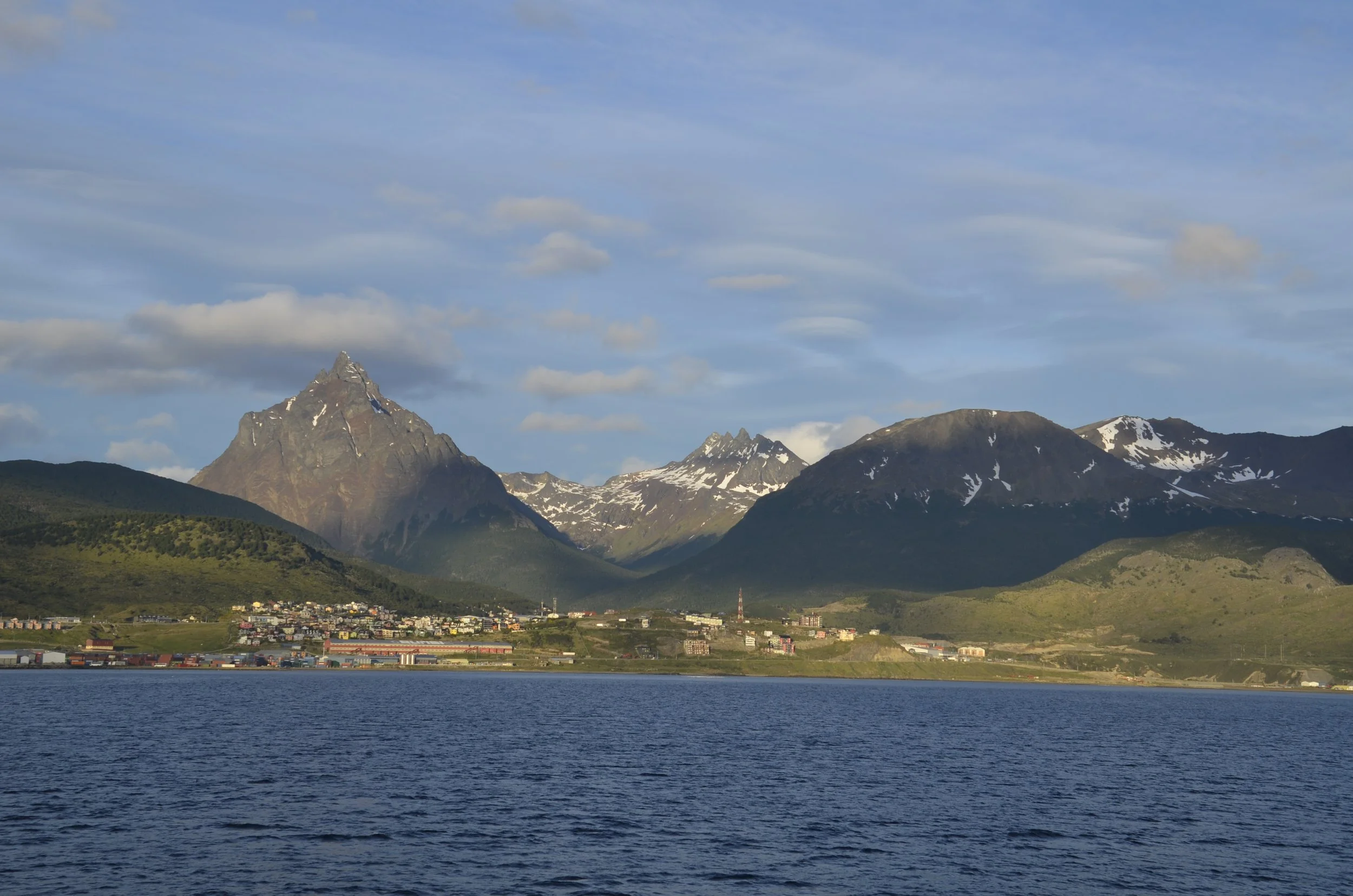
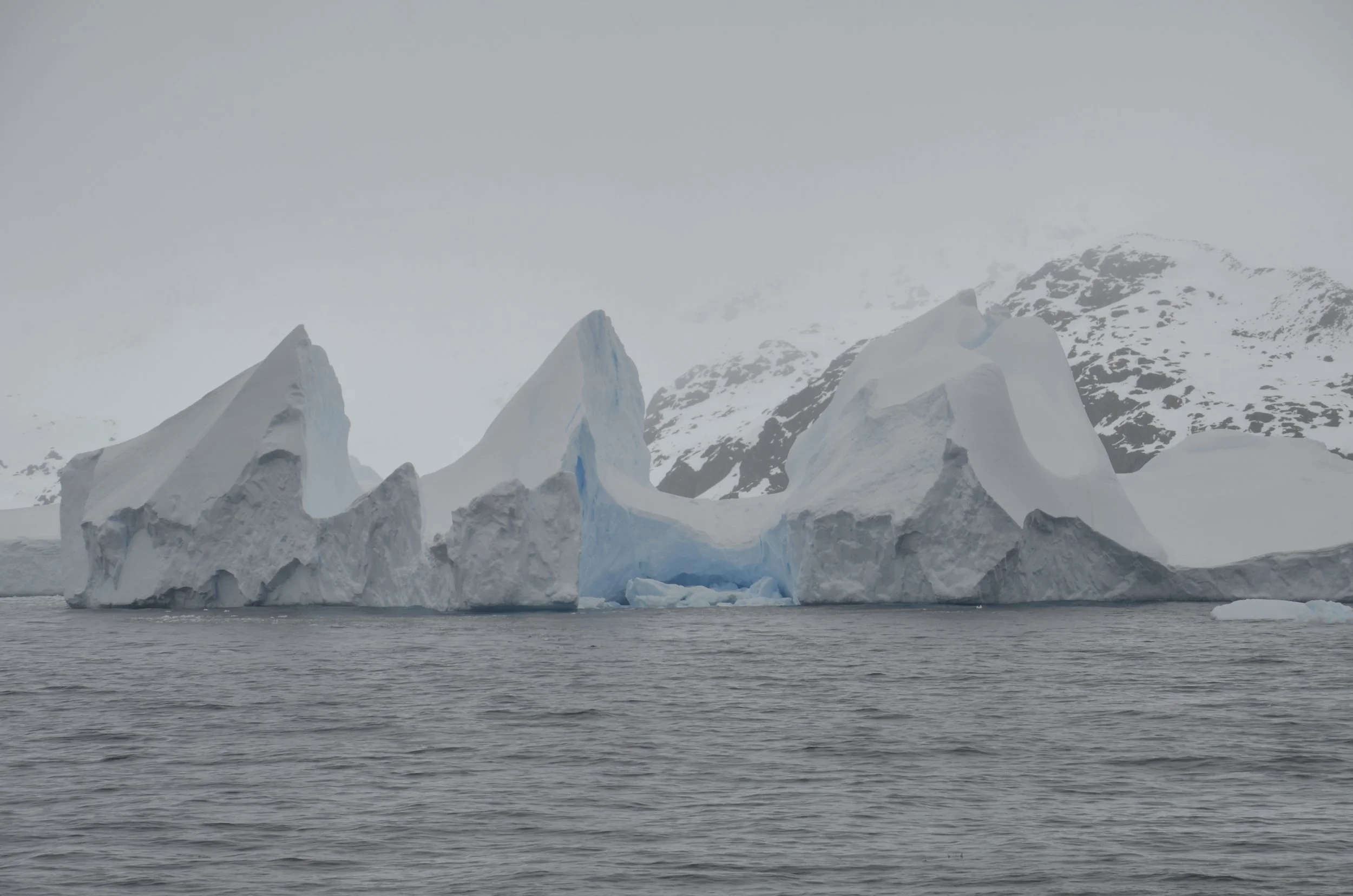
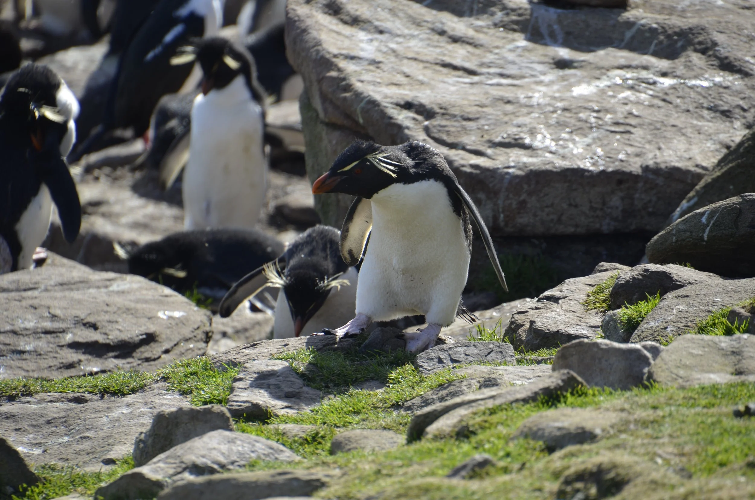
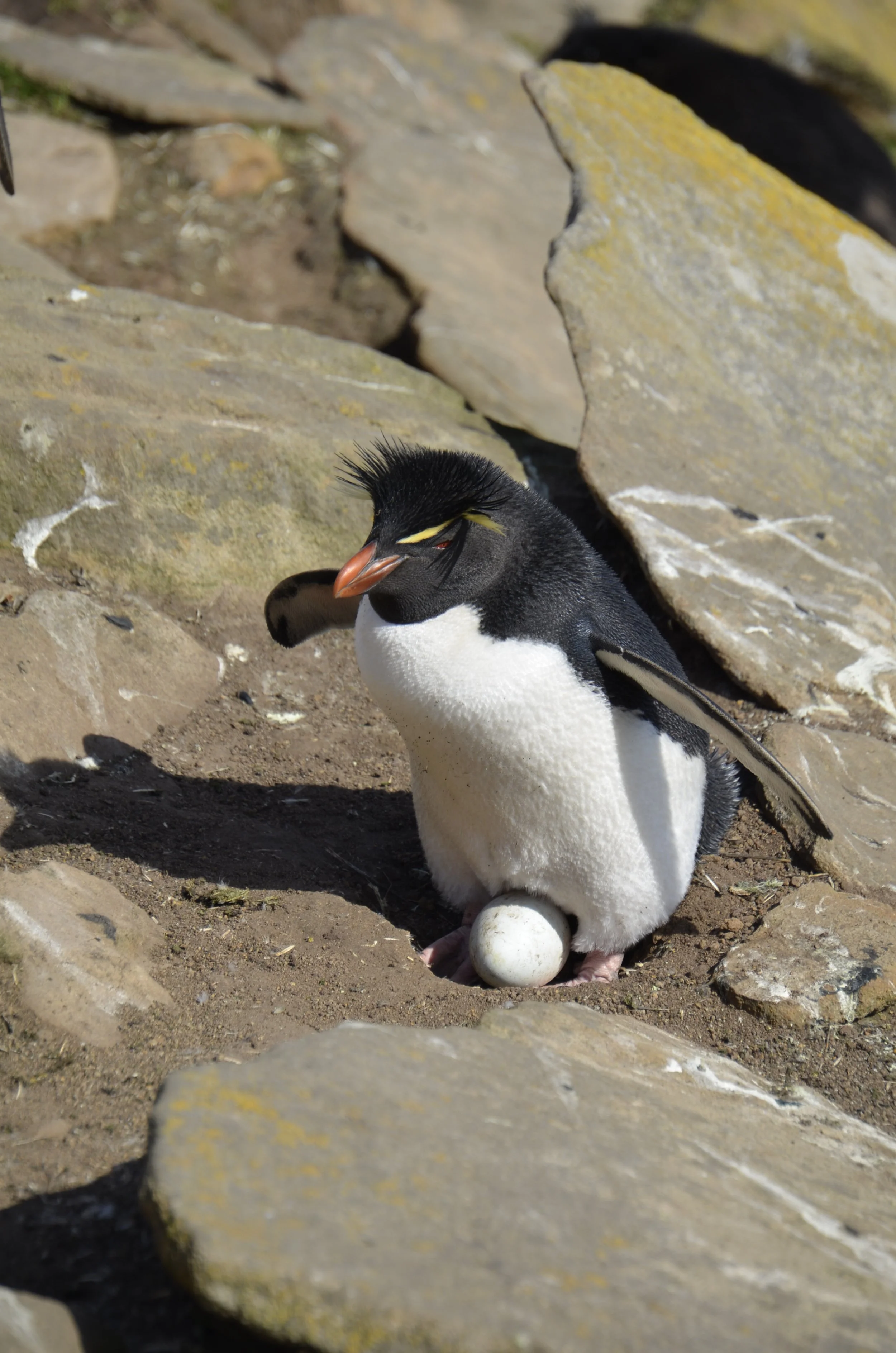
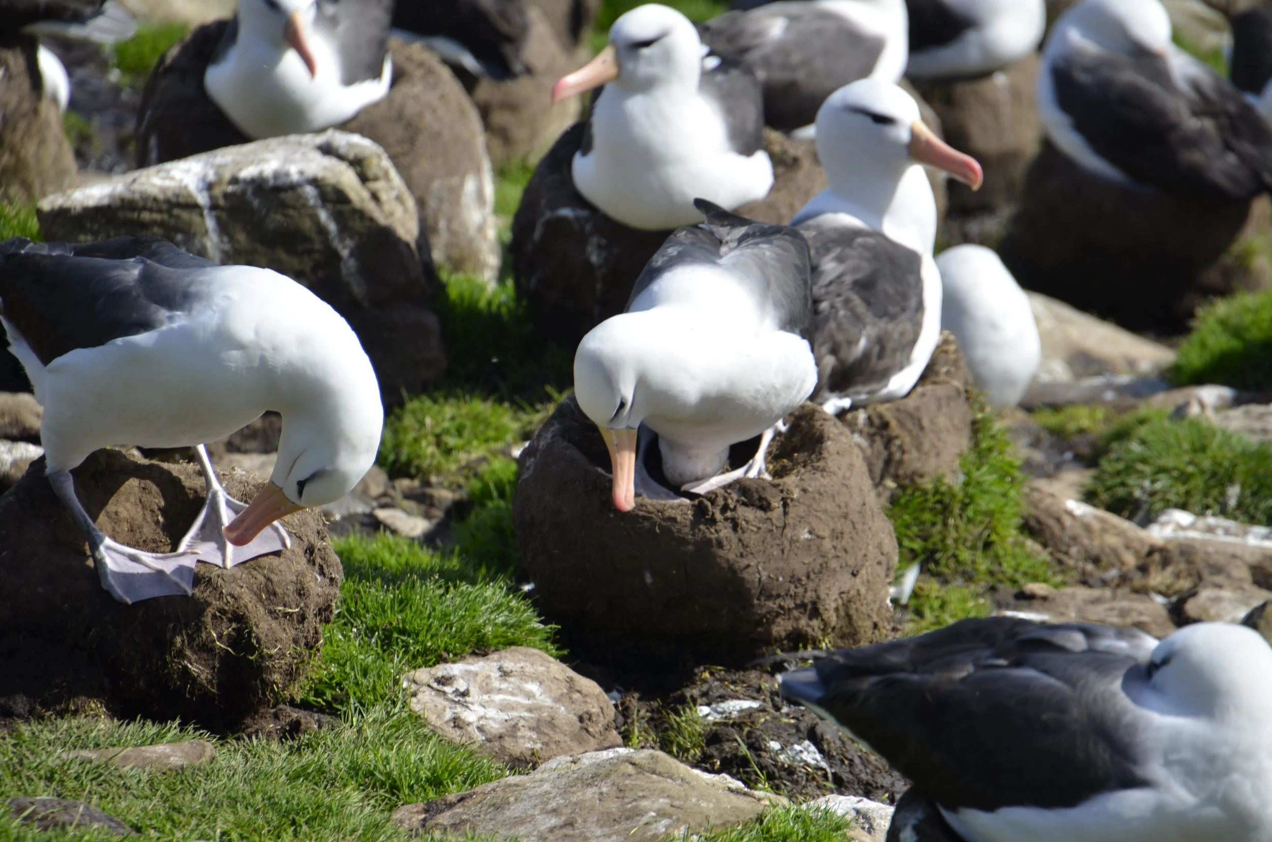
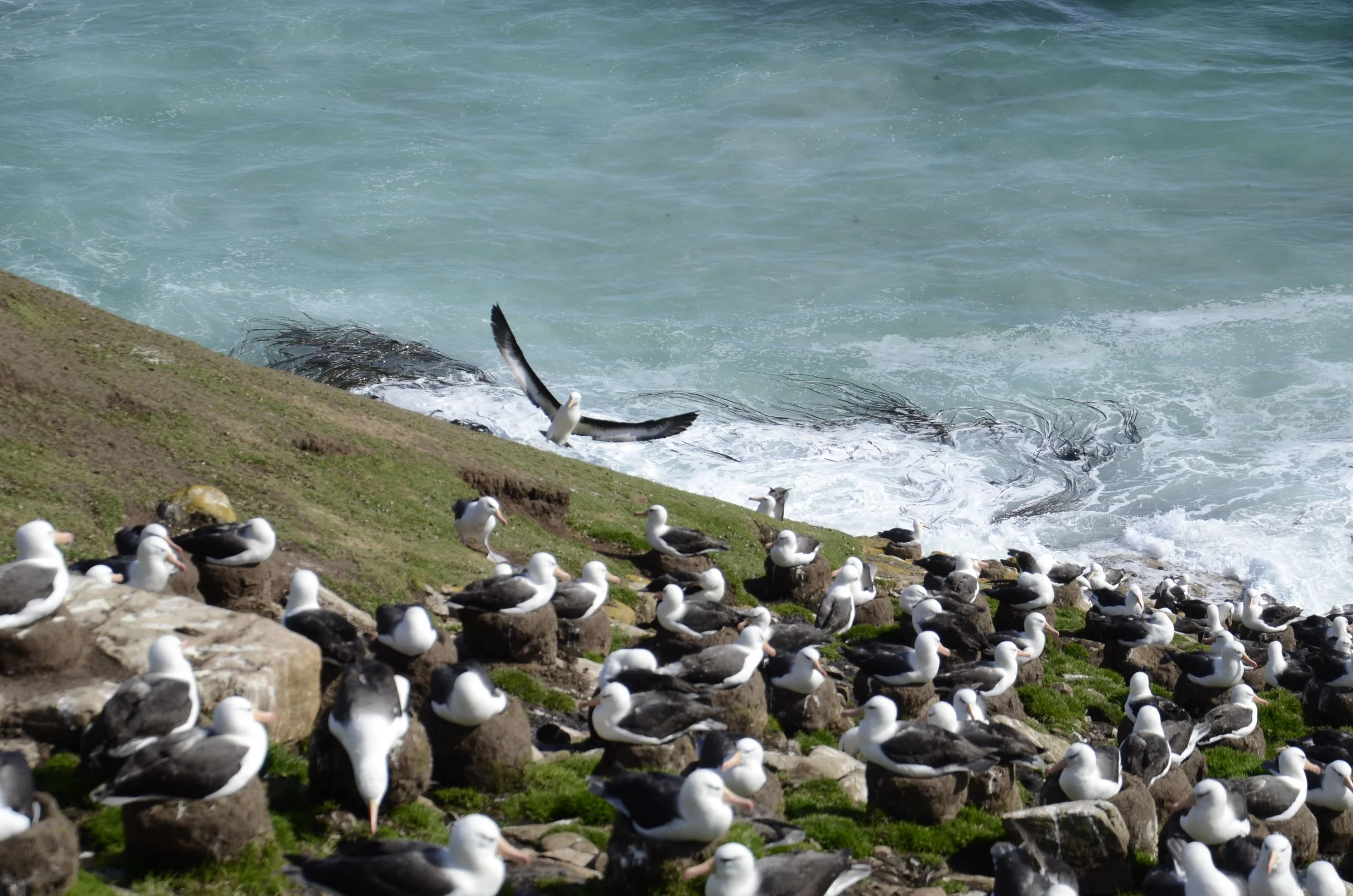
Torres del Paine

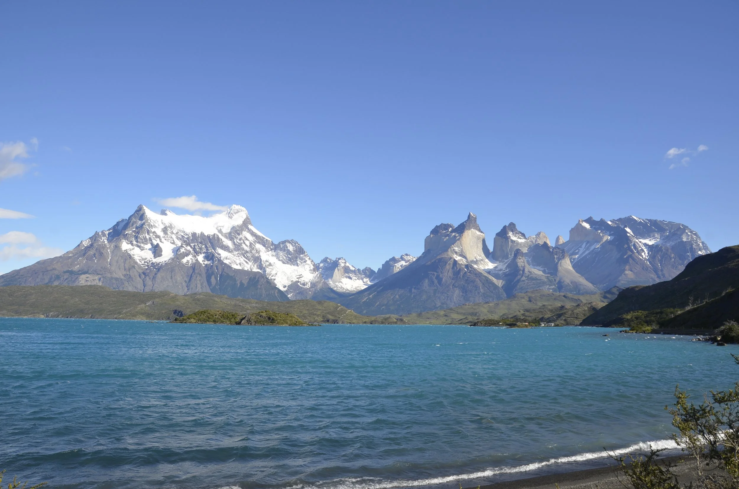
The day of my most highly anticipated hike of our entire trip dawned beautiful and sunny. Woohoo! This was the view from our hotel dining room -

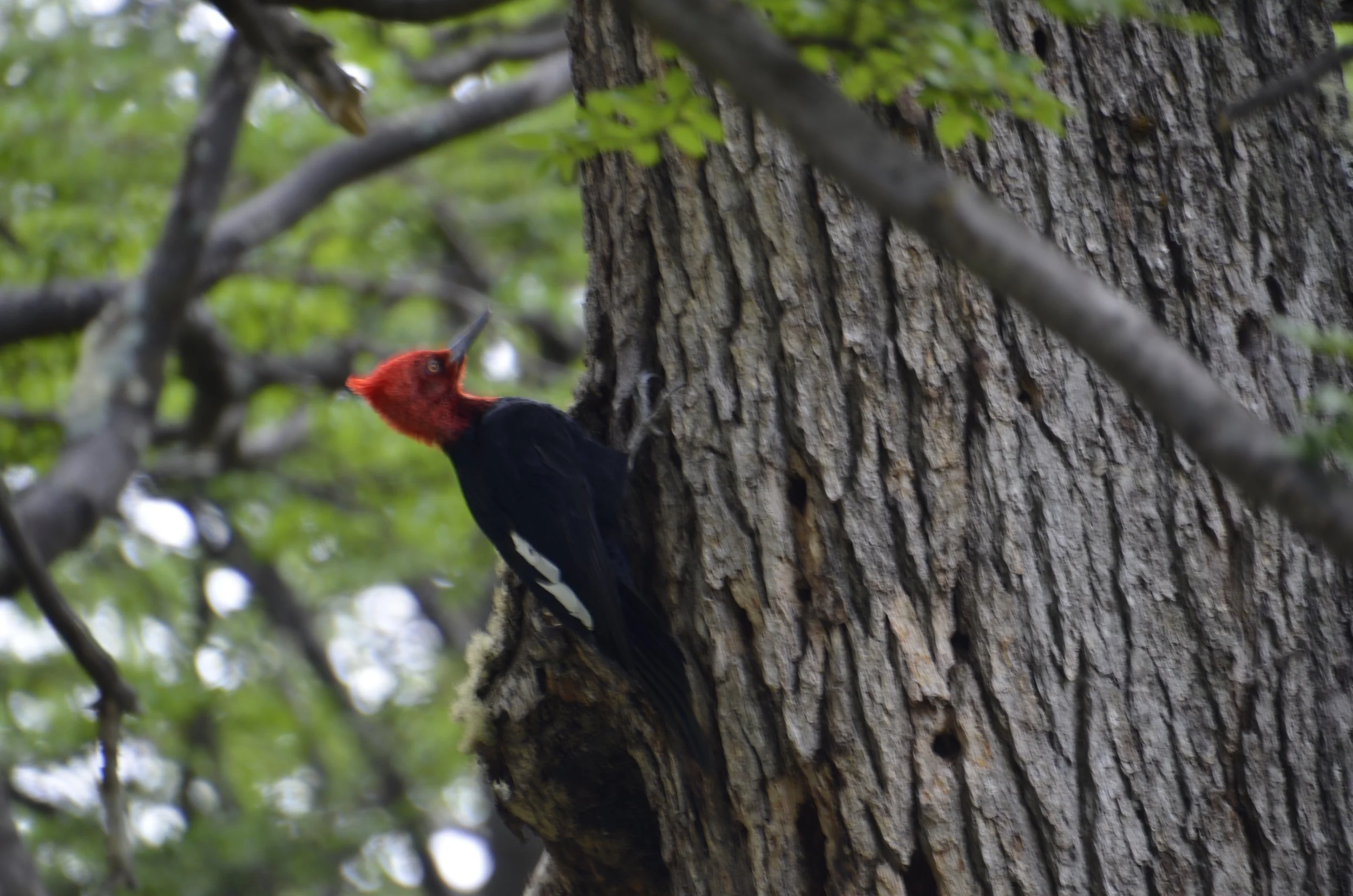
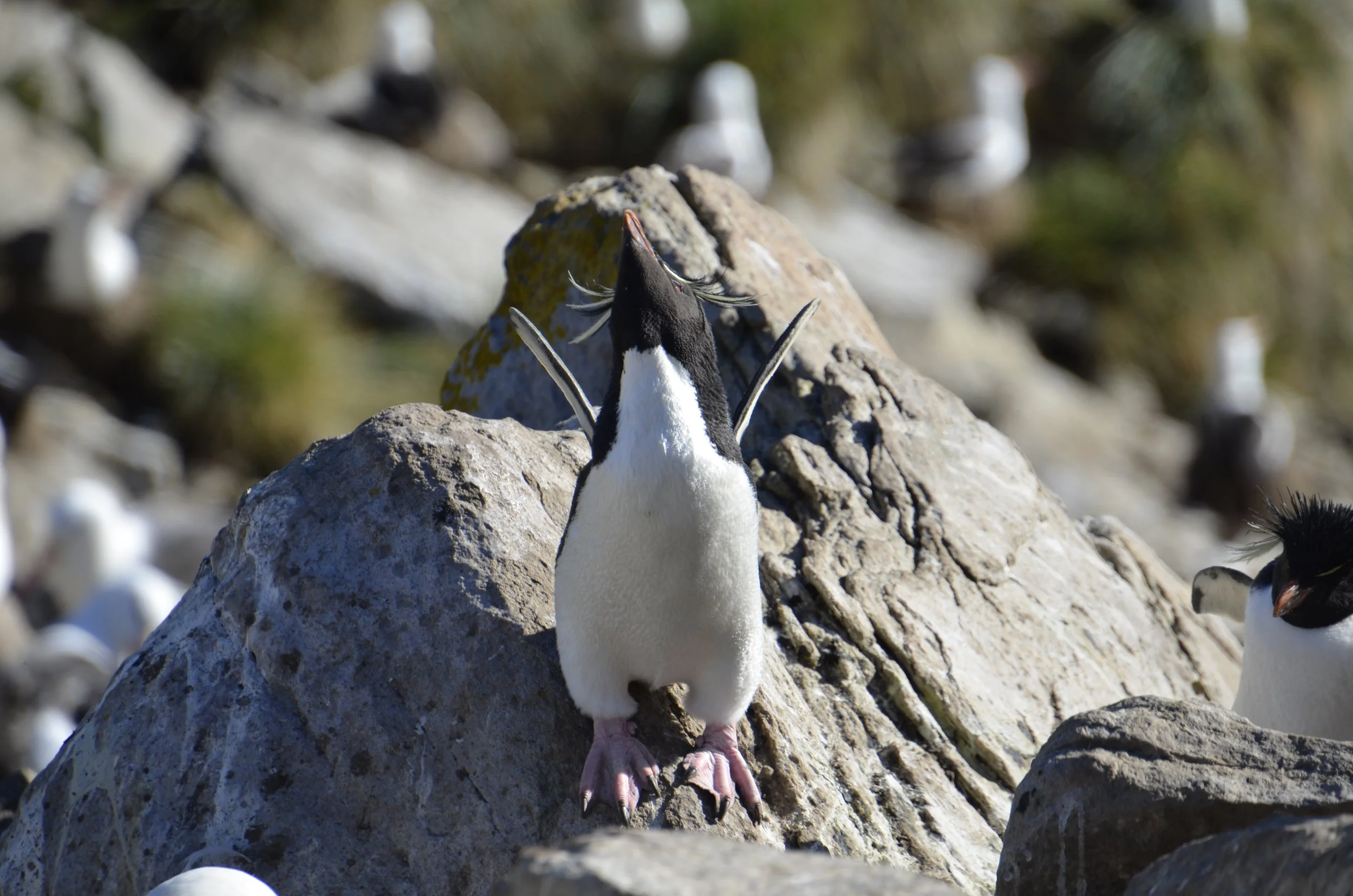
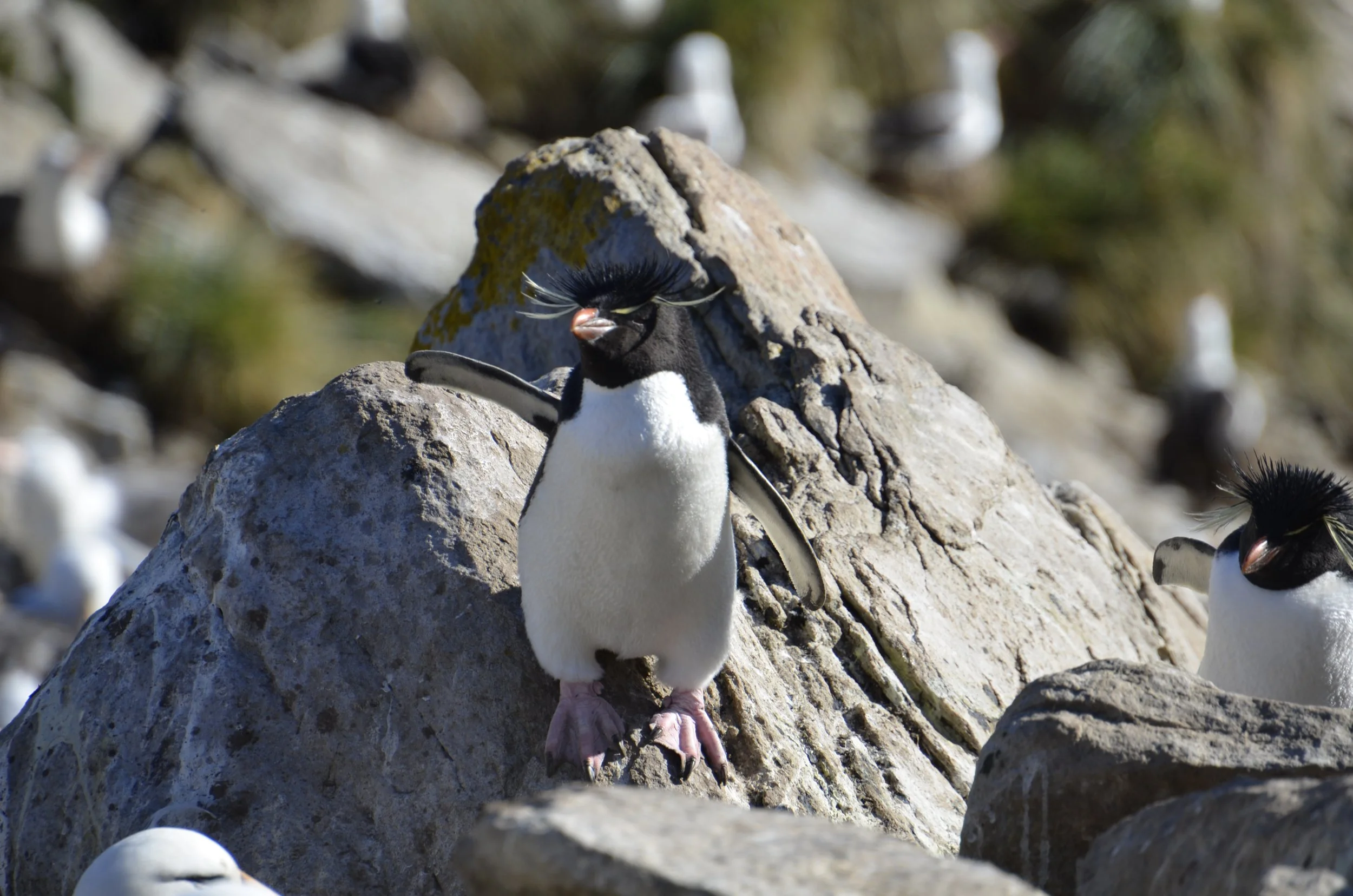
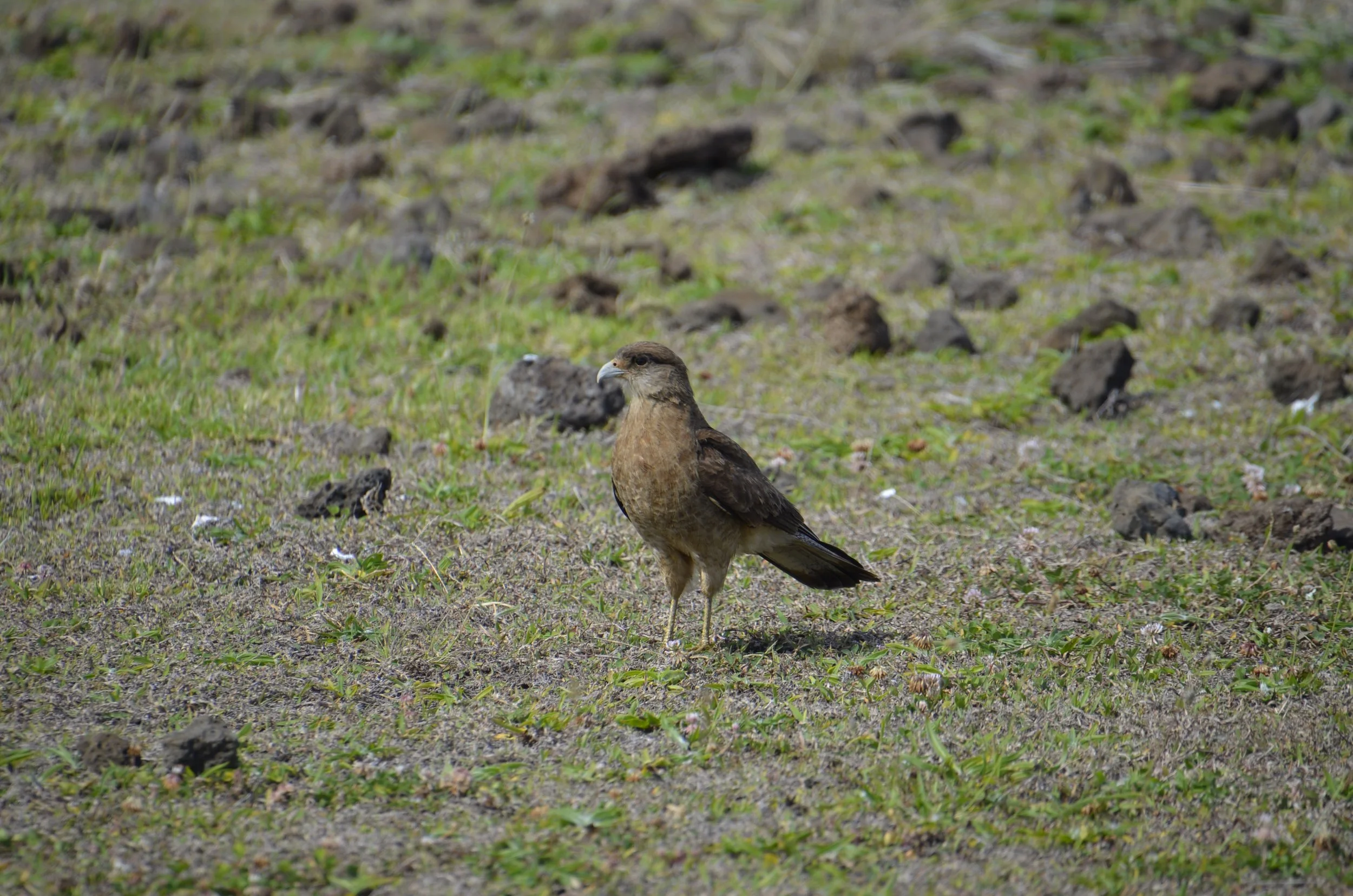
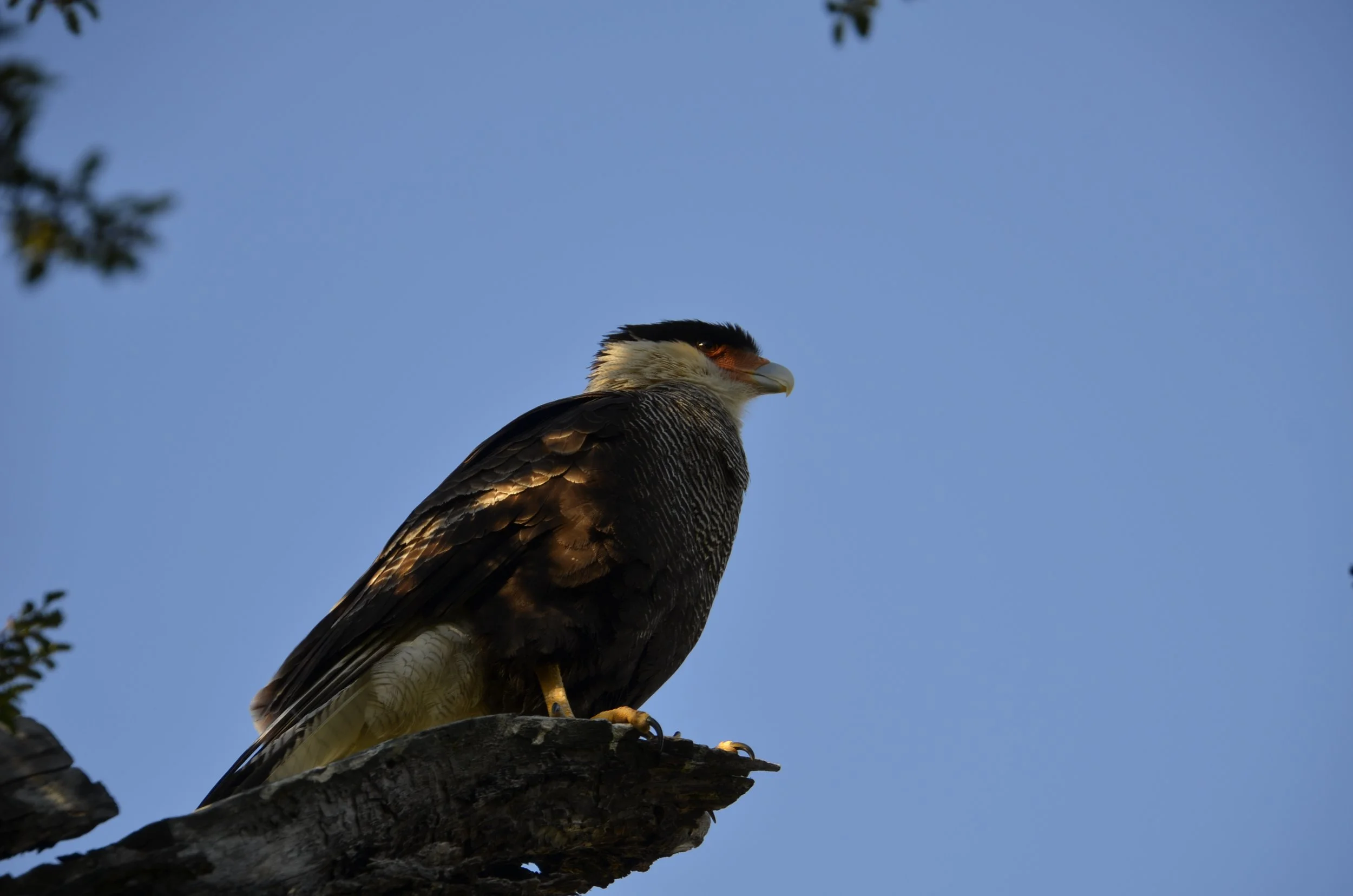
A Crested Caracara sat in a tree just above us as we set out -

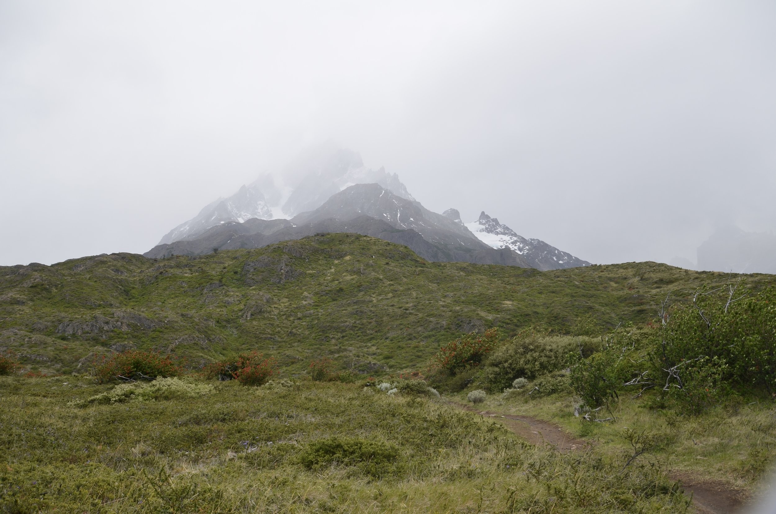
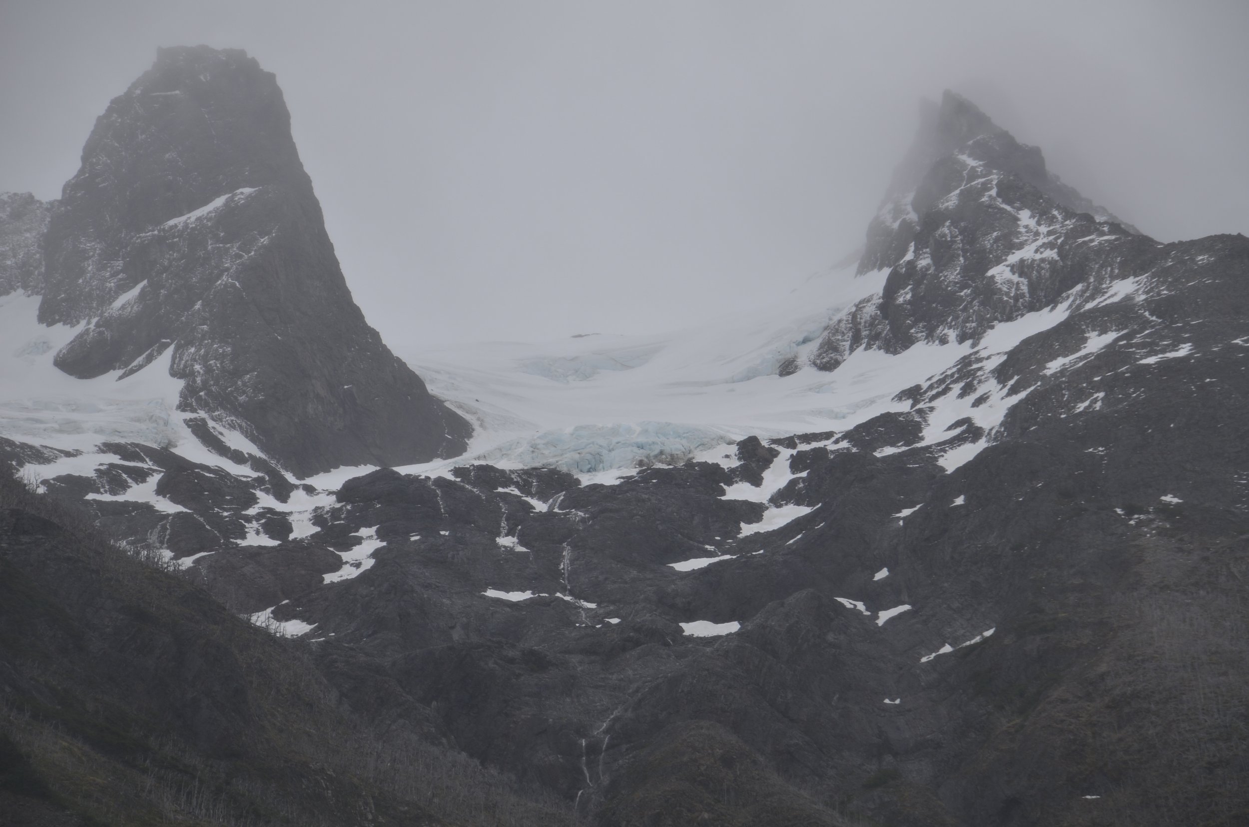
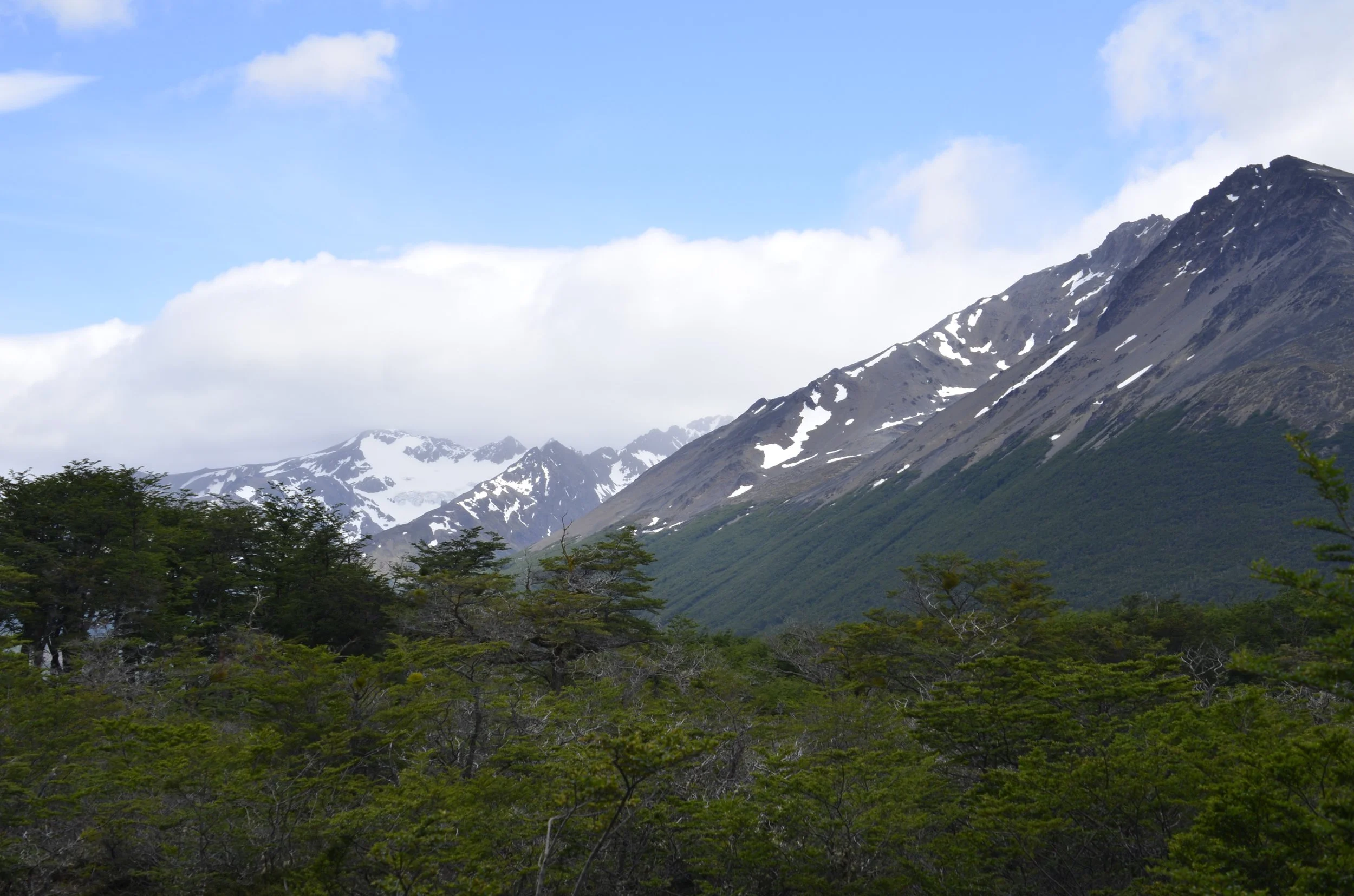
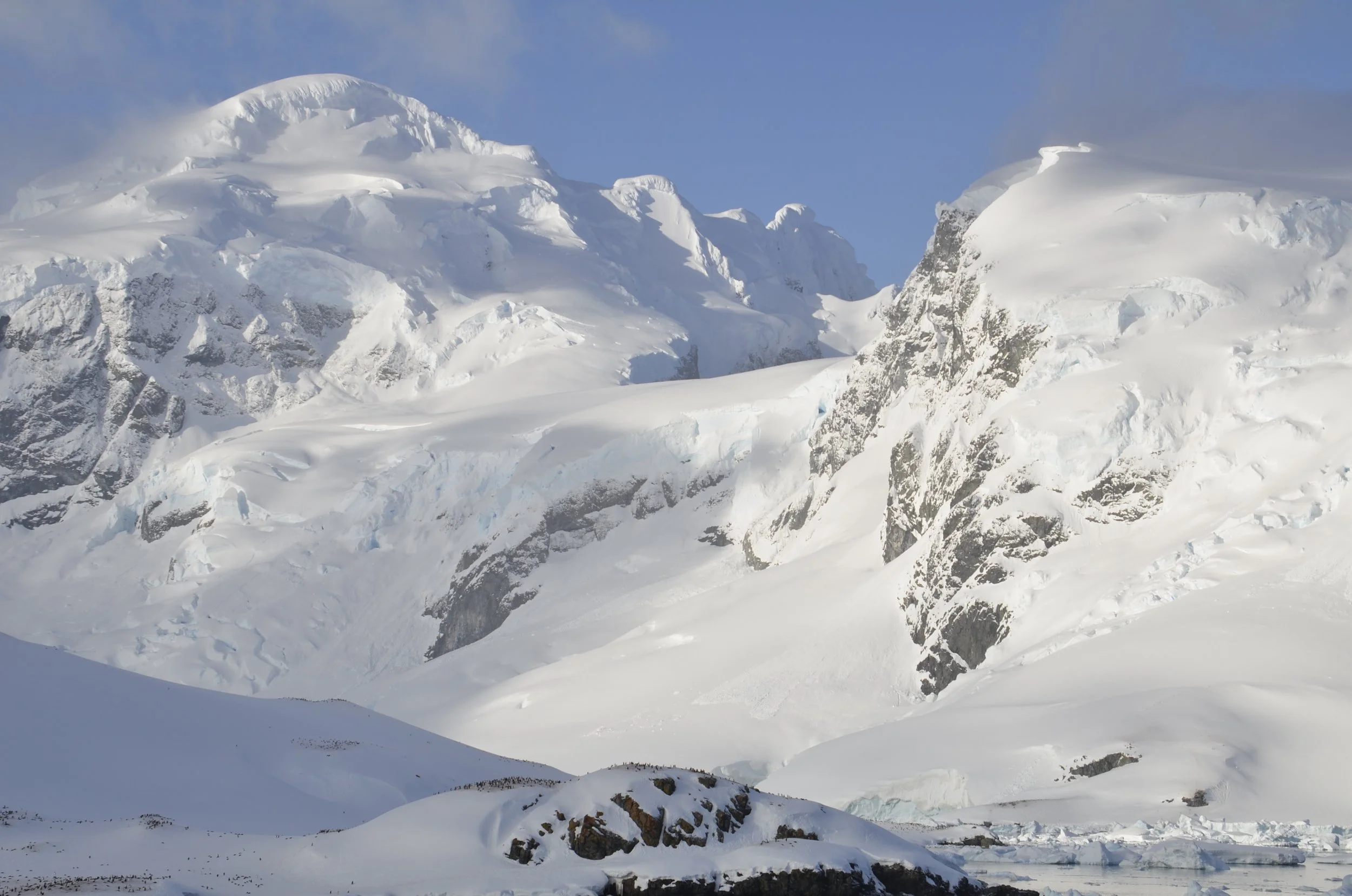
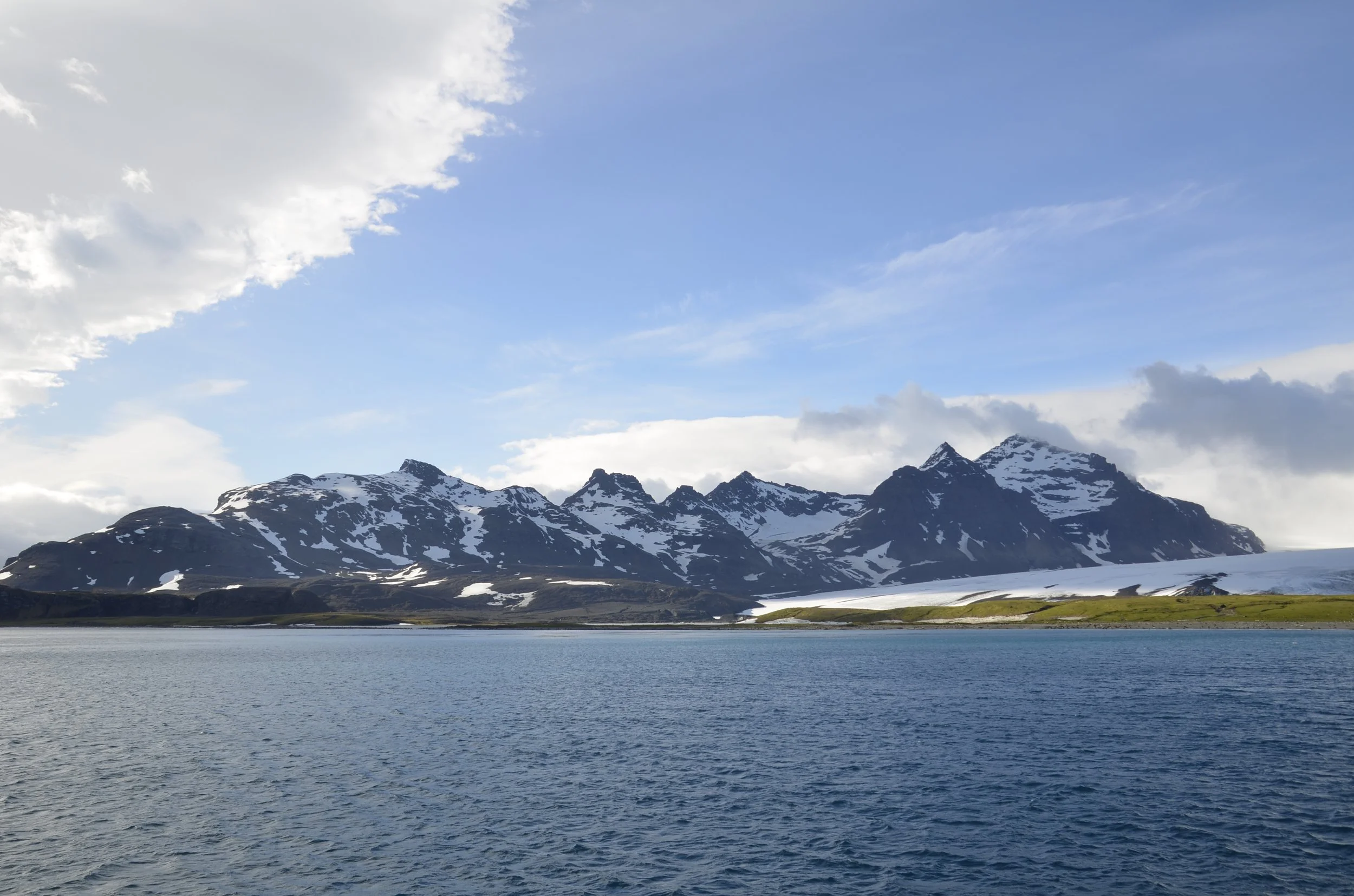
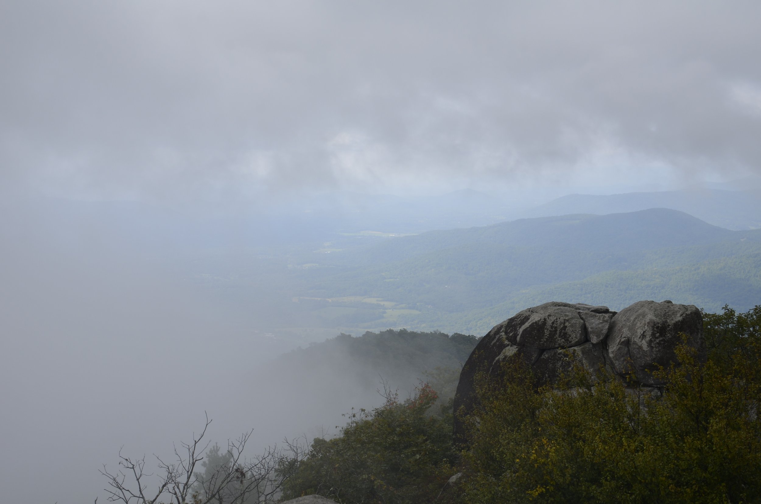
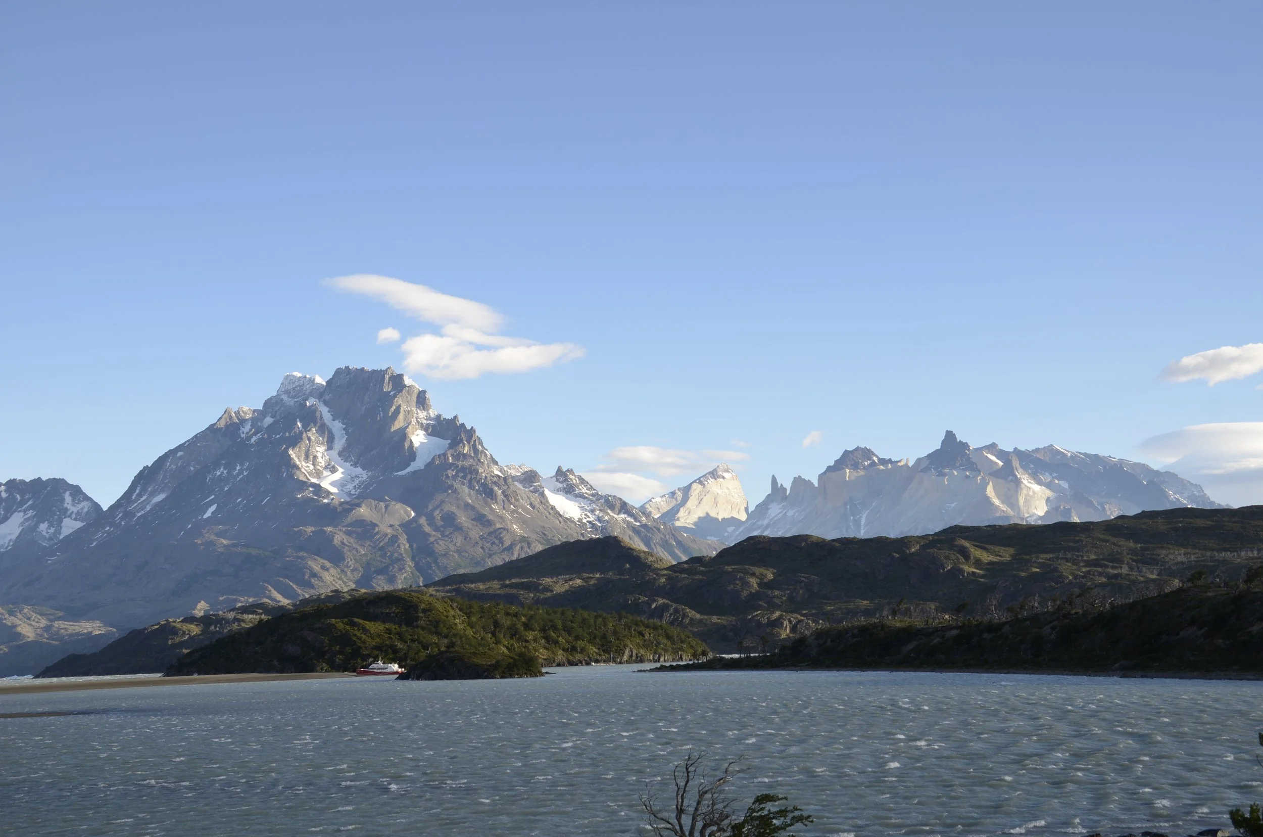
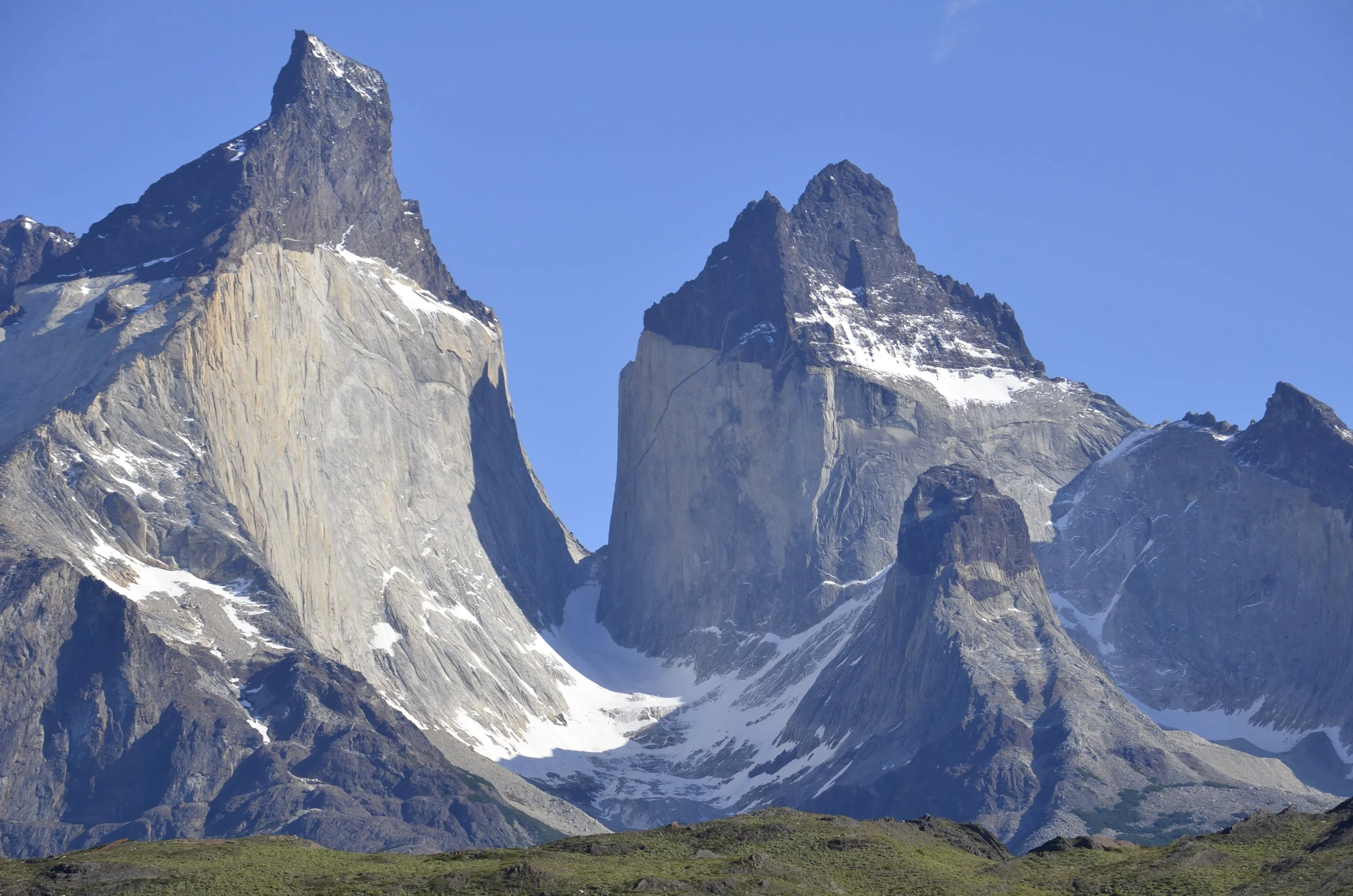
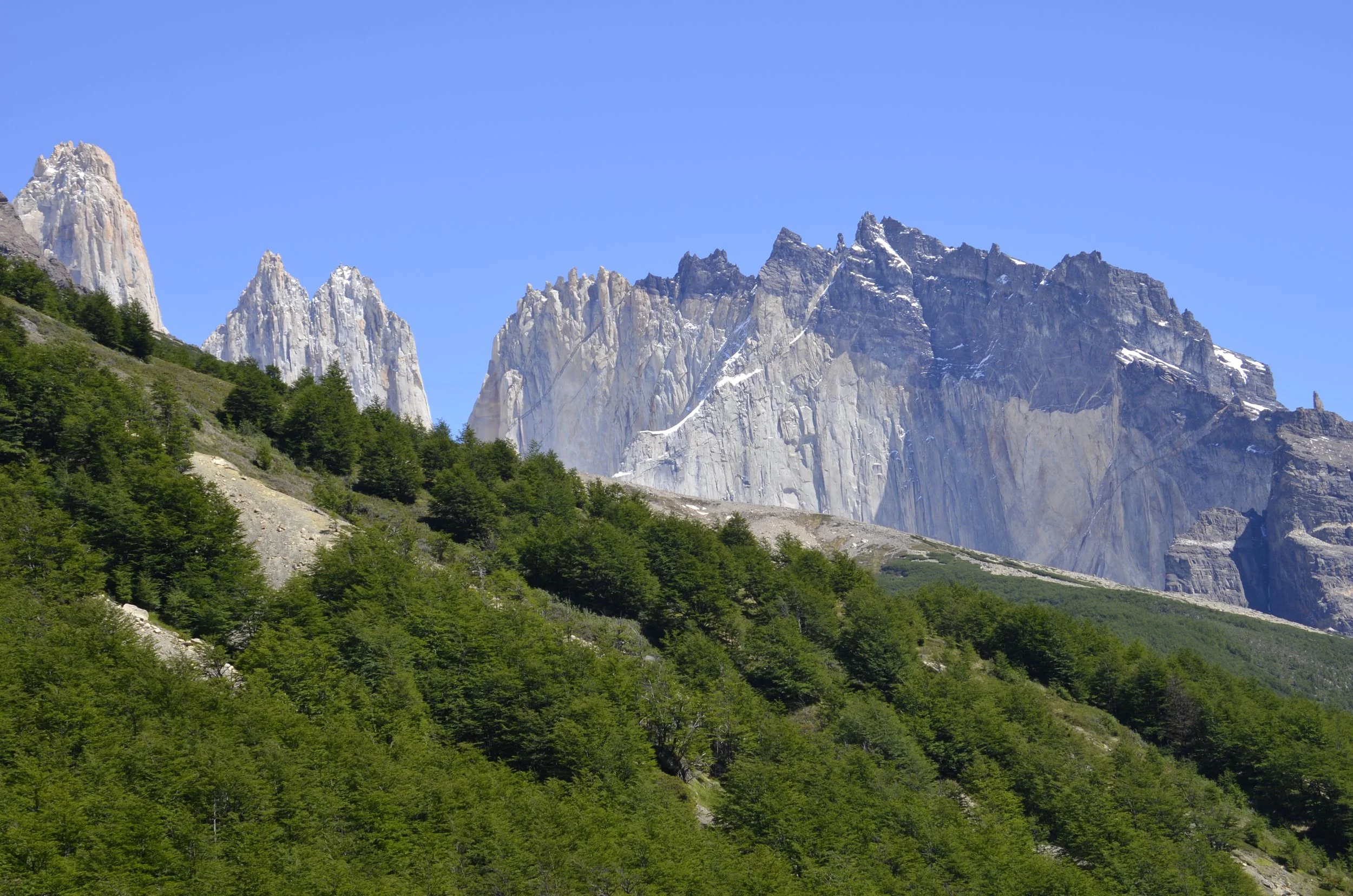
This was what was obscured by the clouds and storm of the previous day (when we hiked in the rain) -

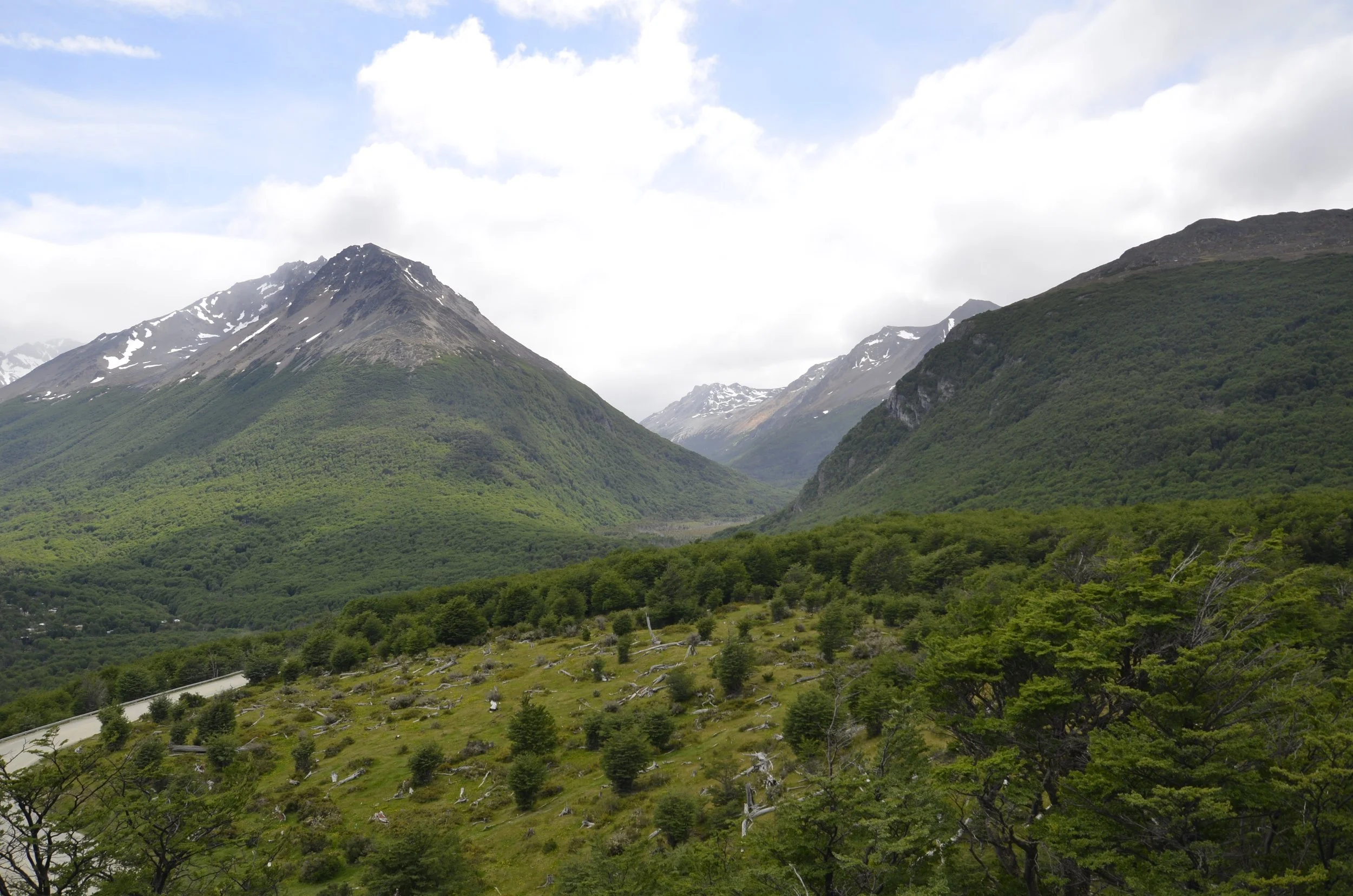
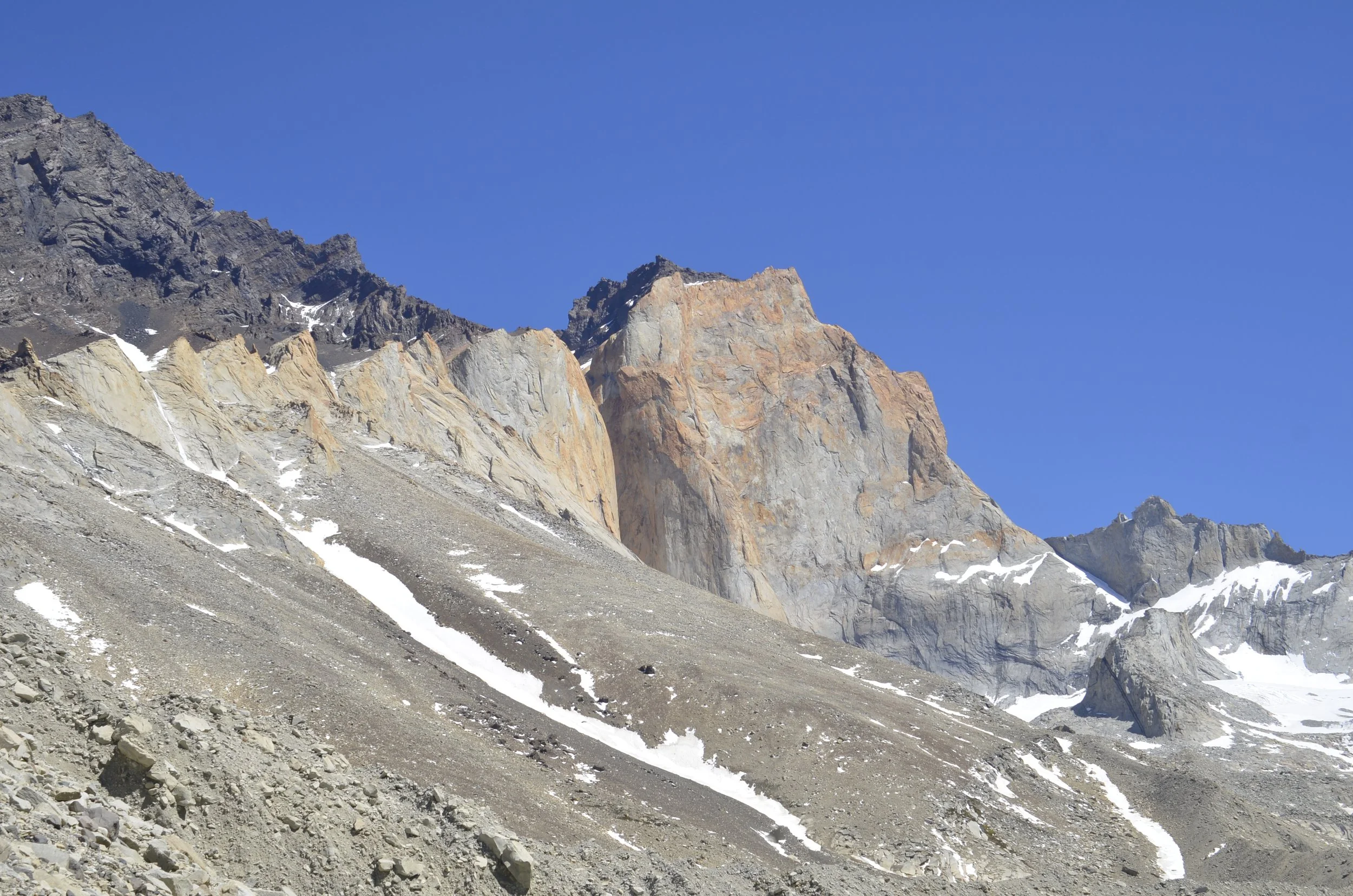
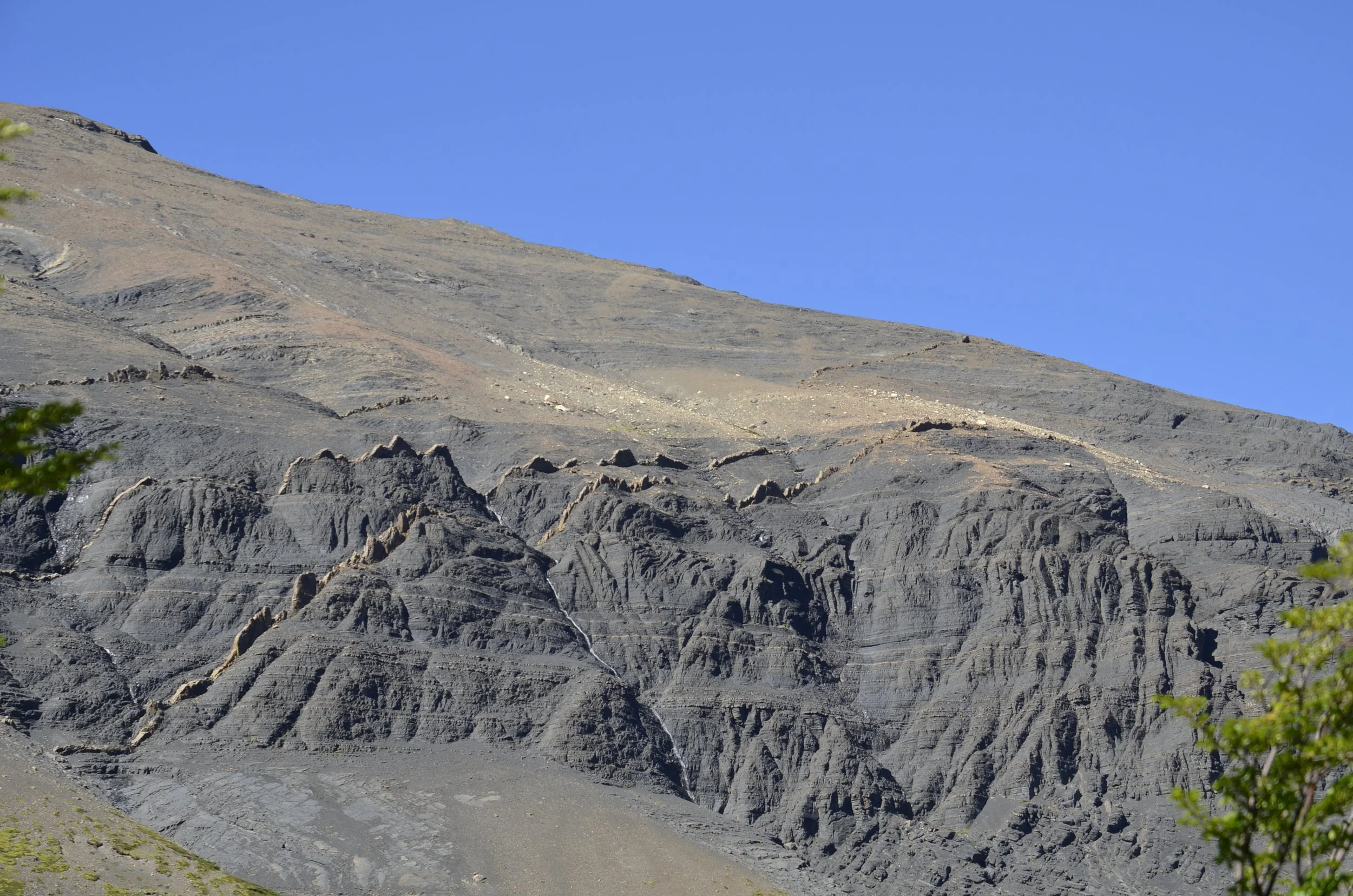
I just loved the “chocolate topped” mountains -

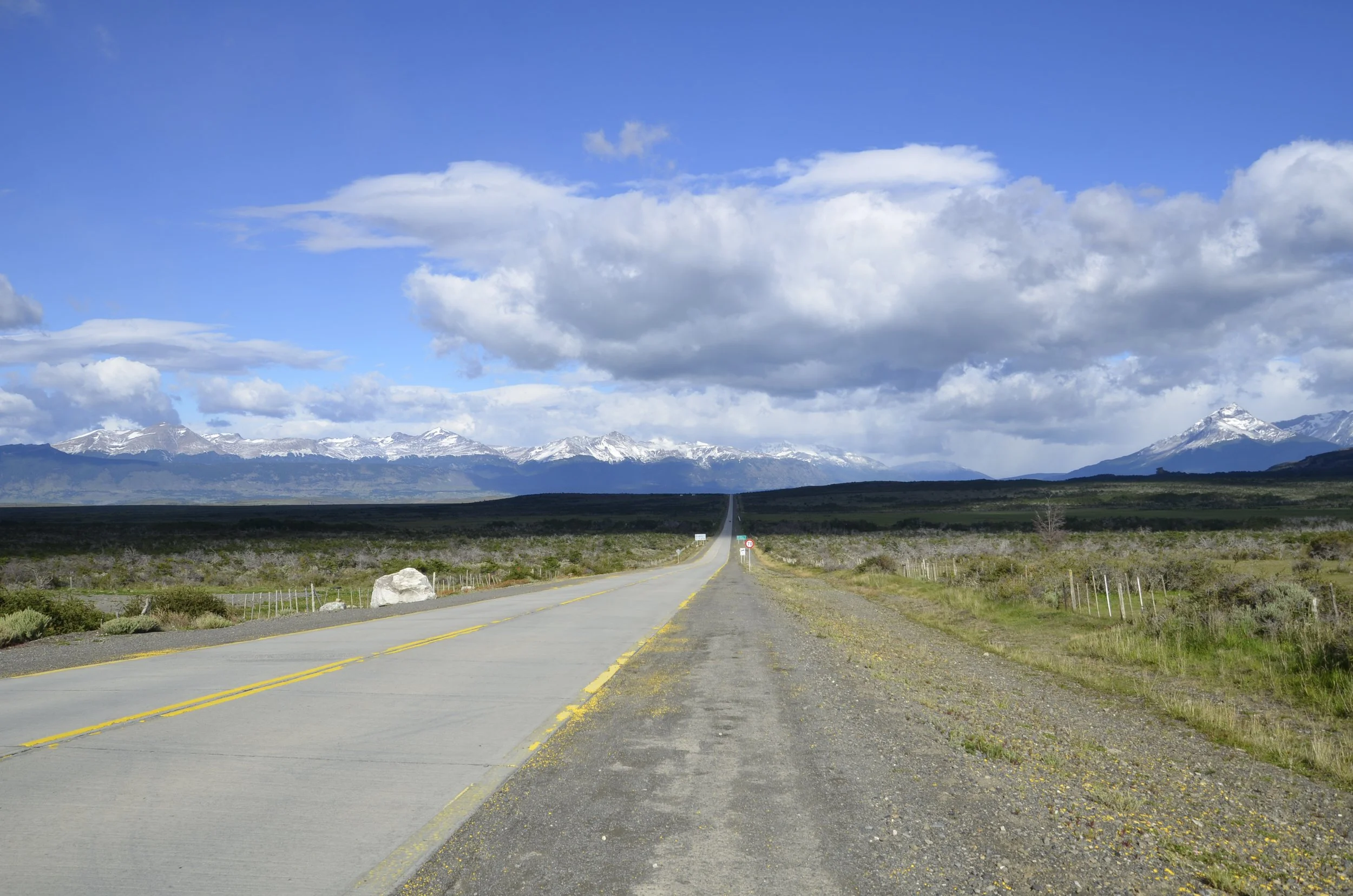
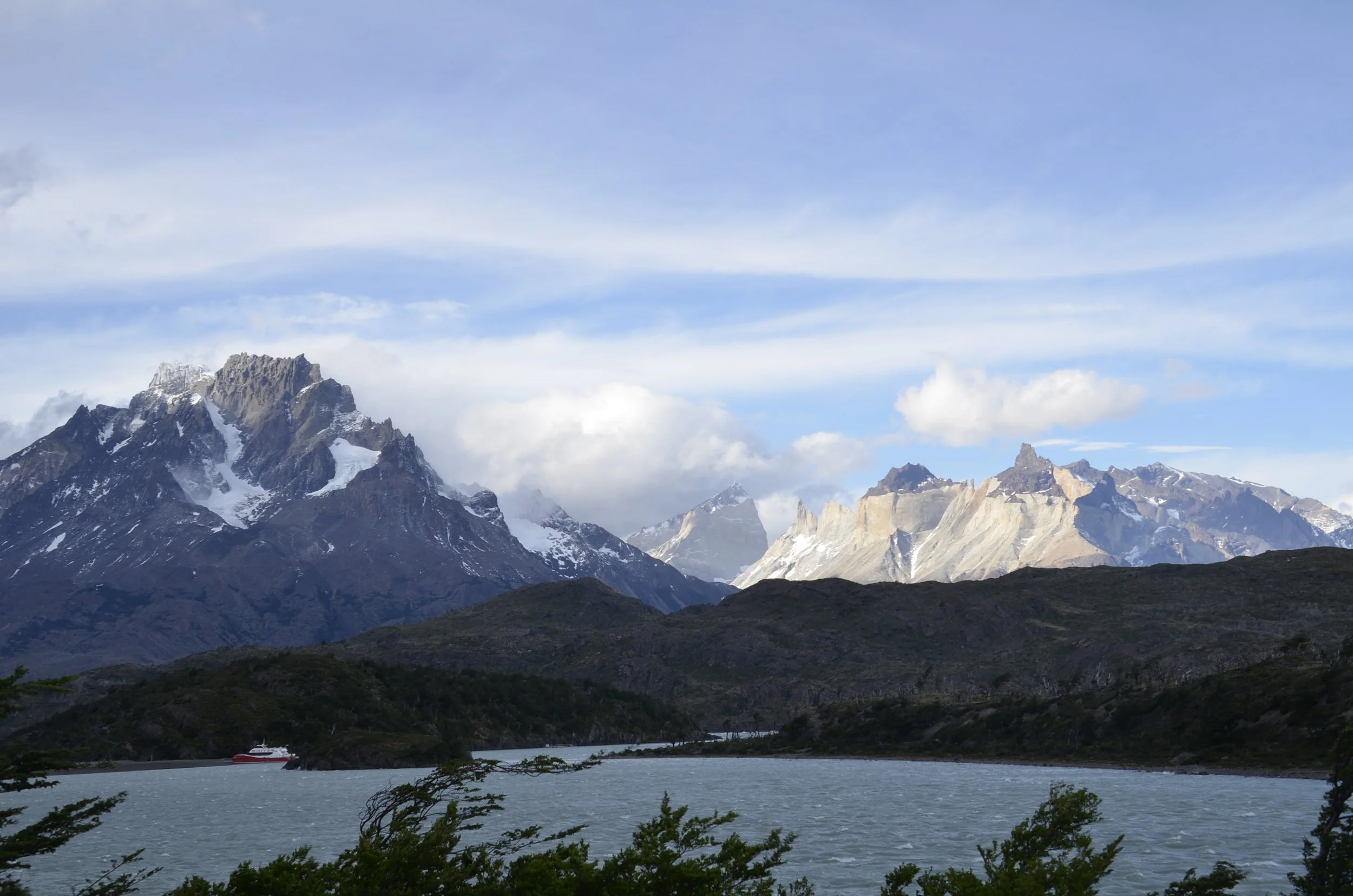
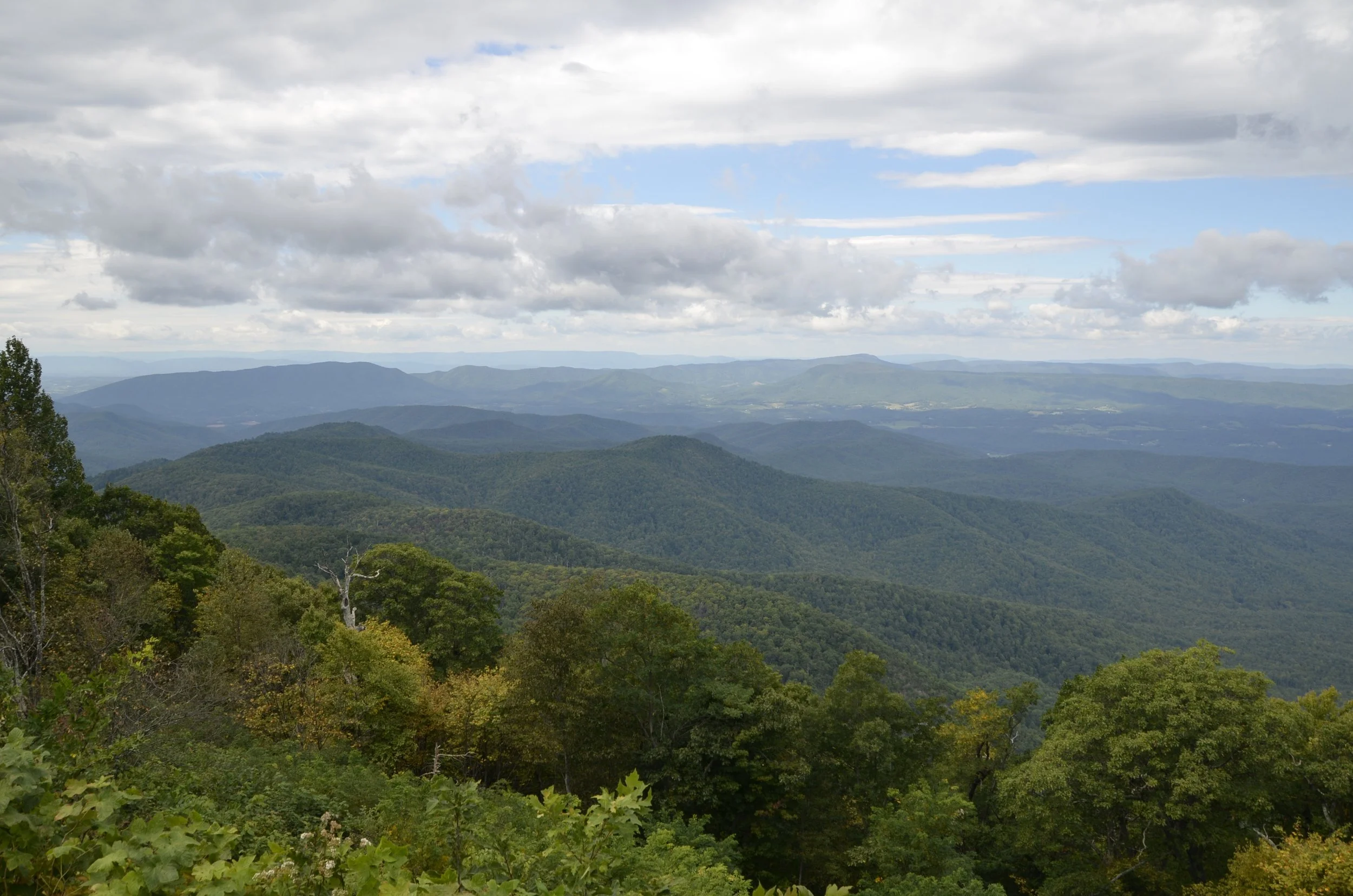
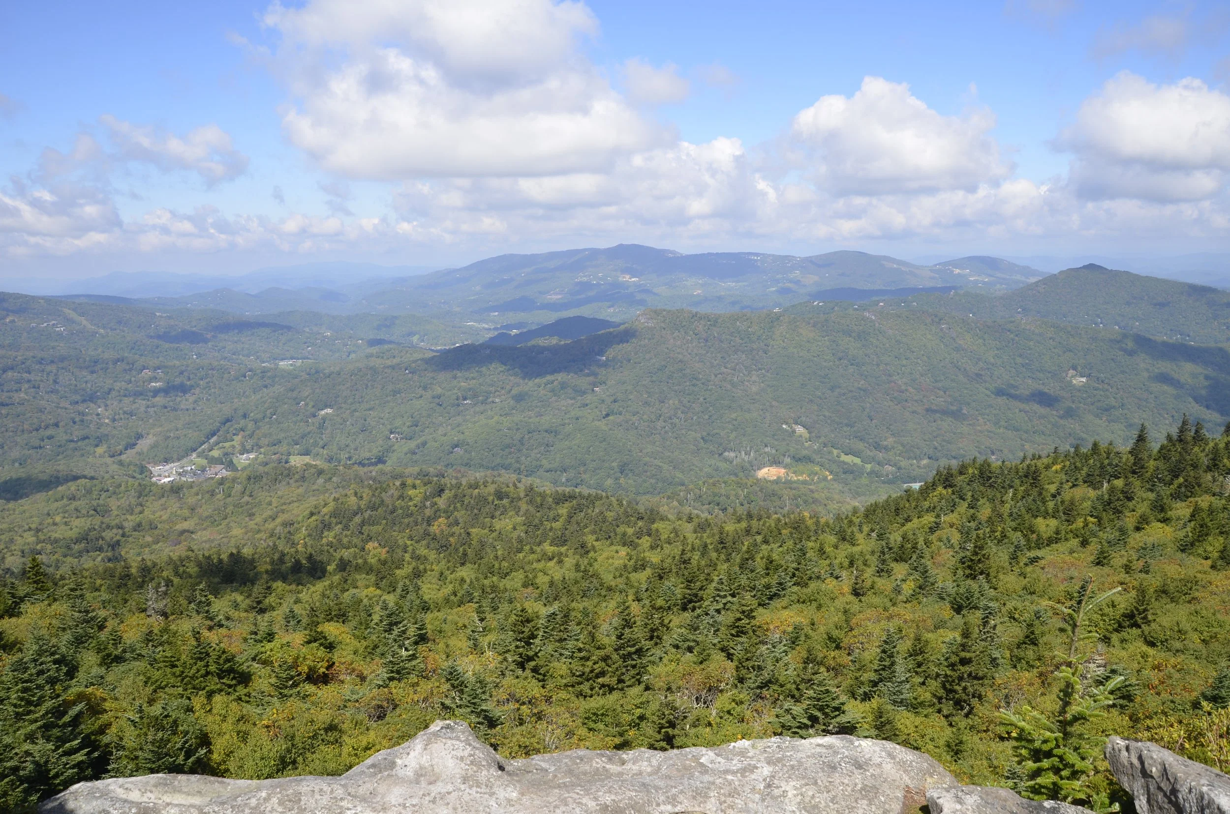
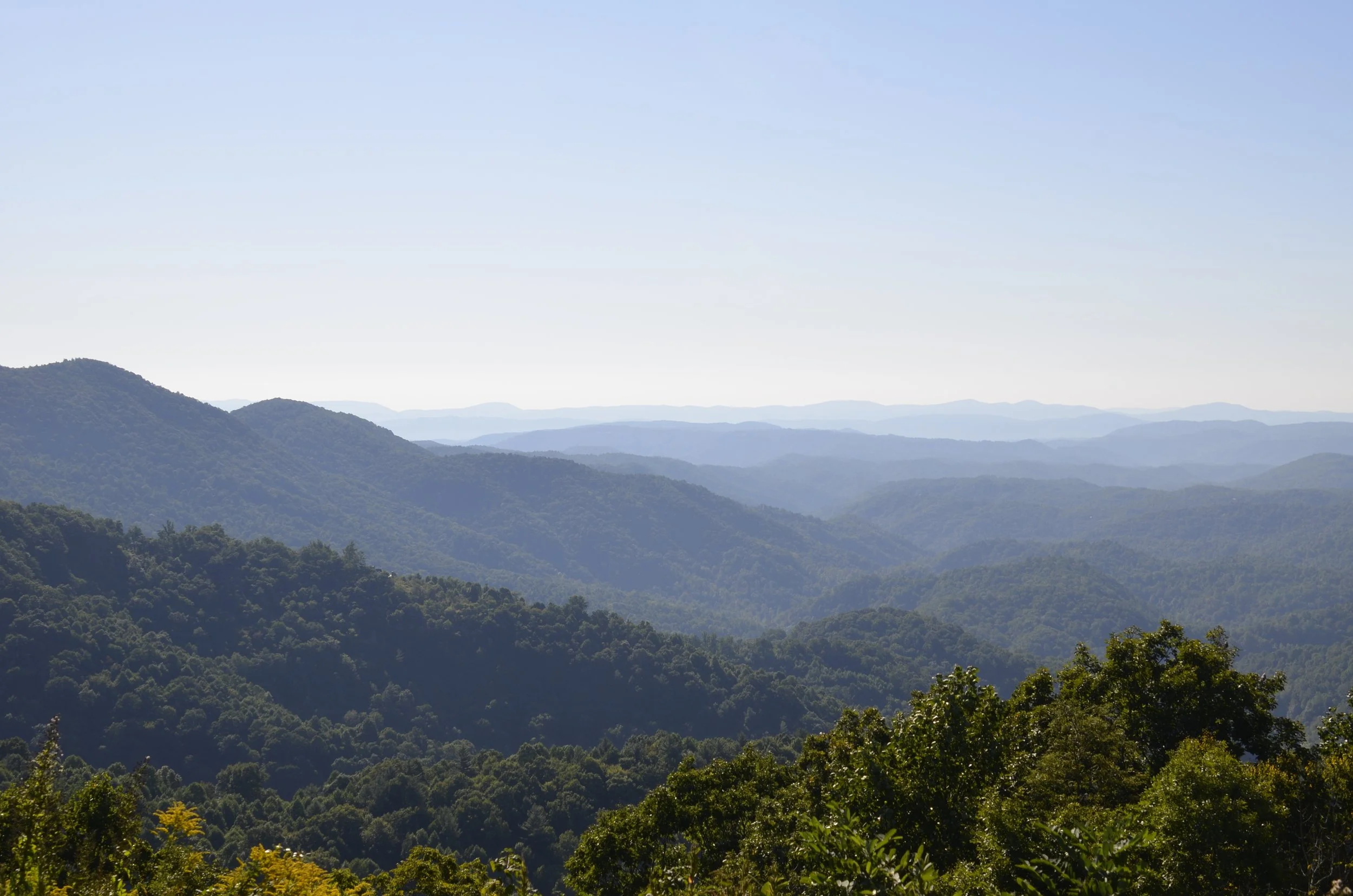
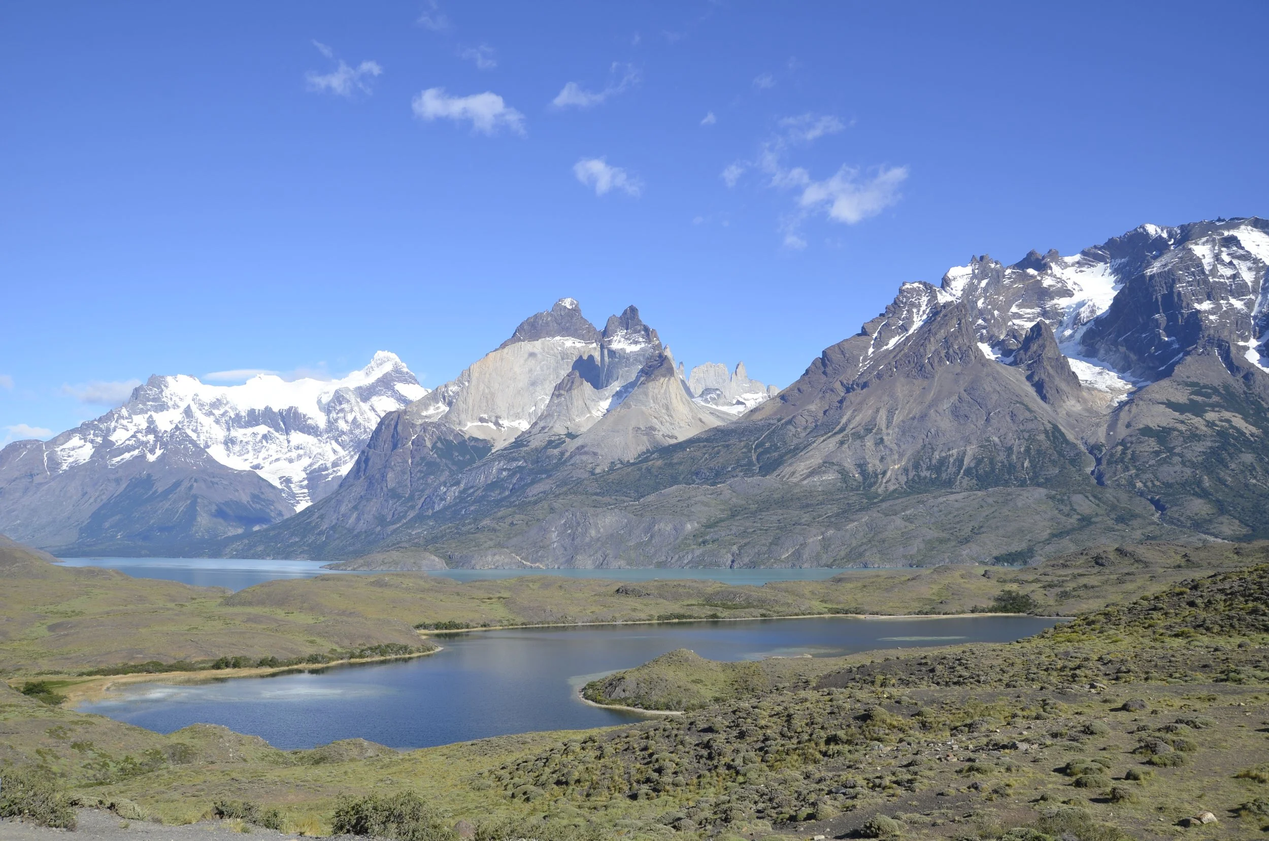
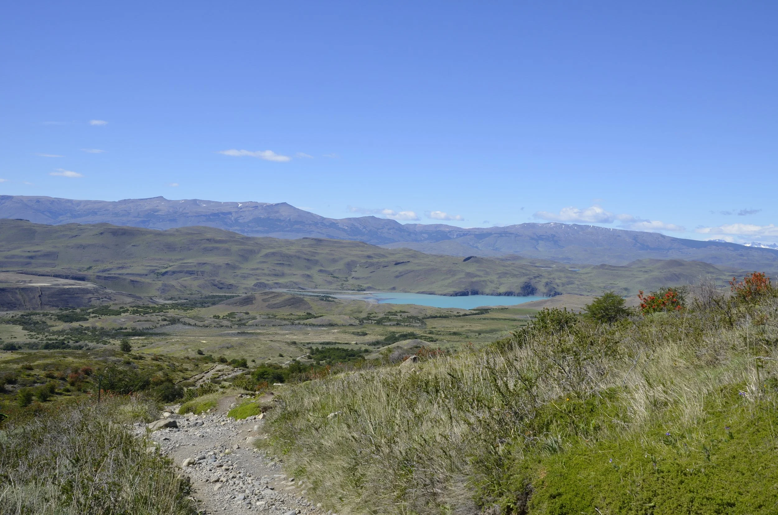
Even though we knew we had a very long hike in front of us, during the 1+ hour drive to the trailhead, Steve agreed to stop at this lookout for me -

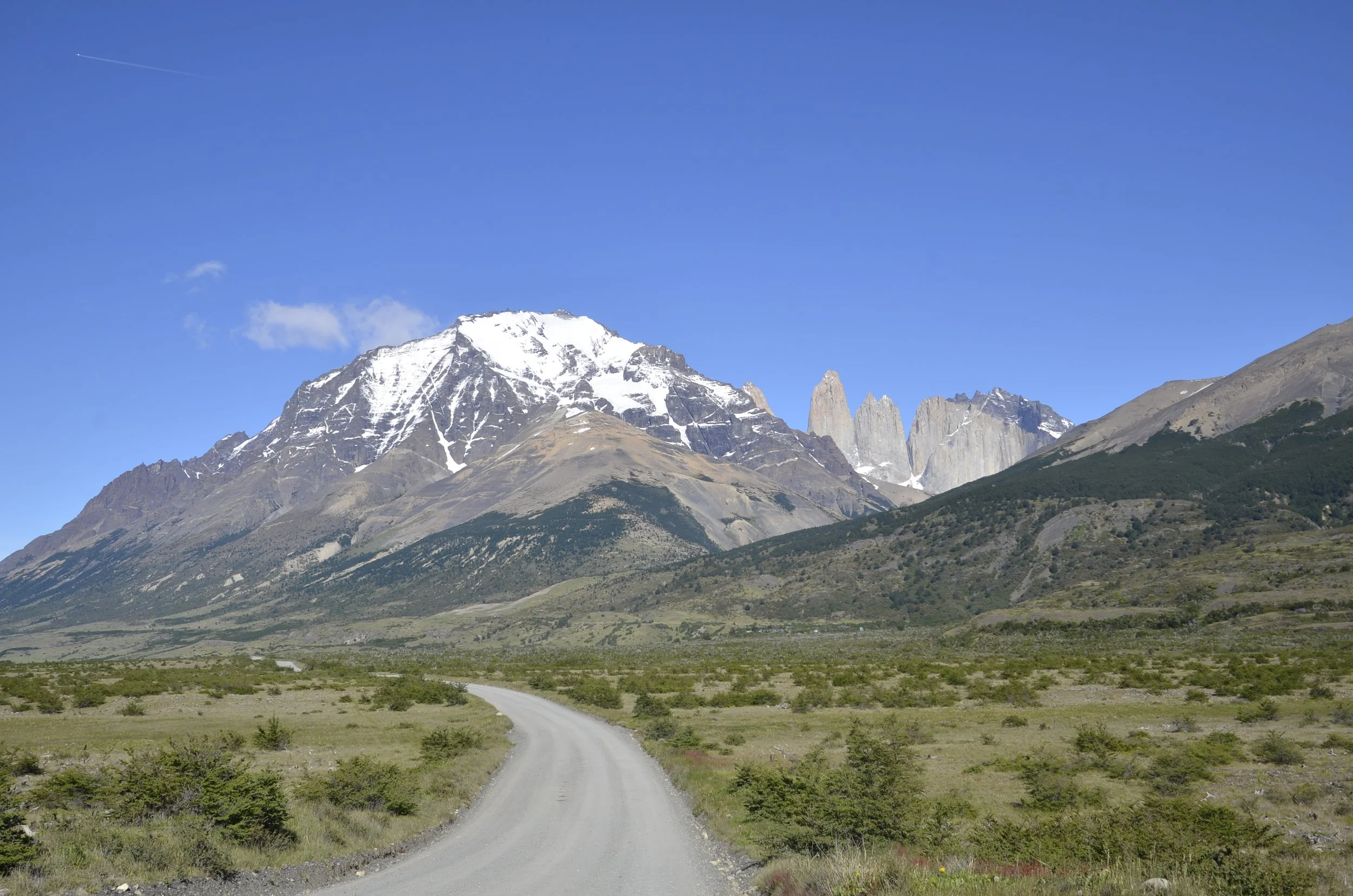
Our goal…(the spires just to the right of center)

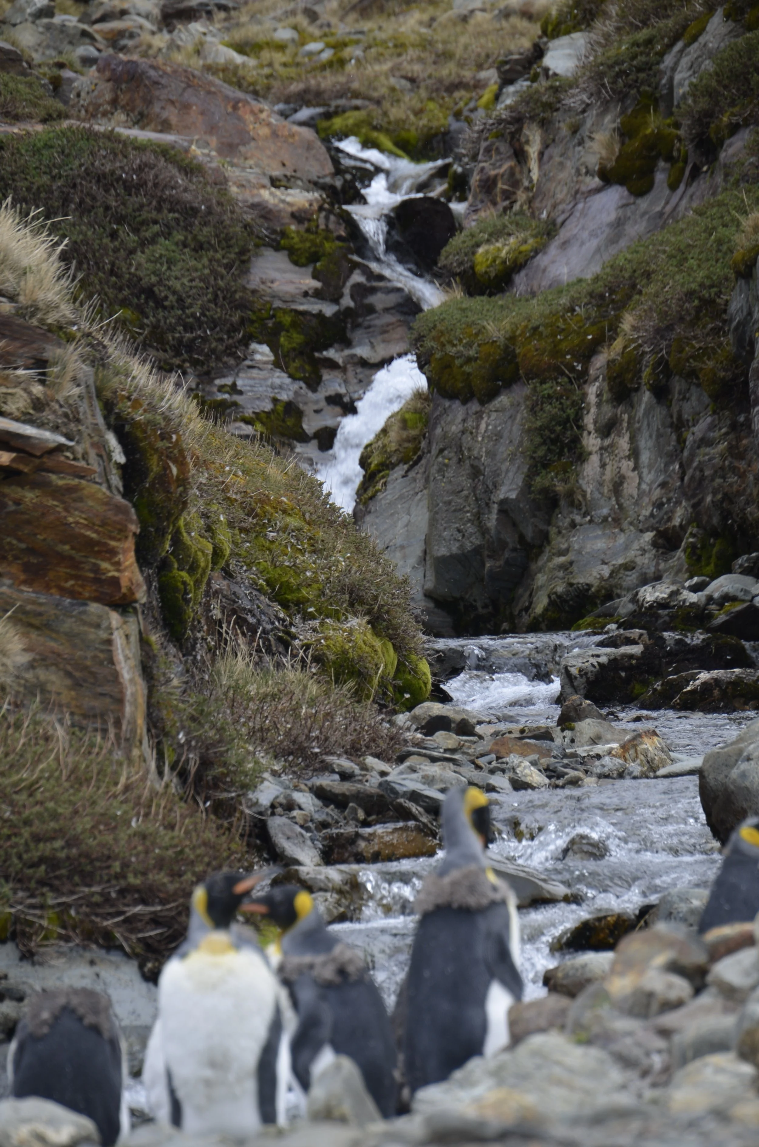
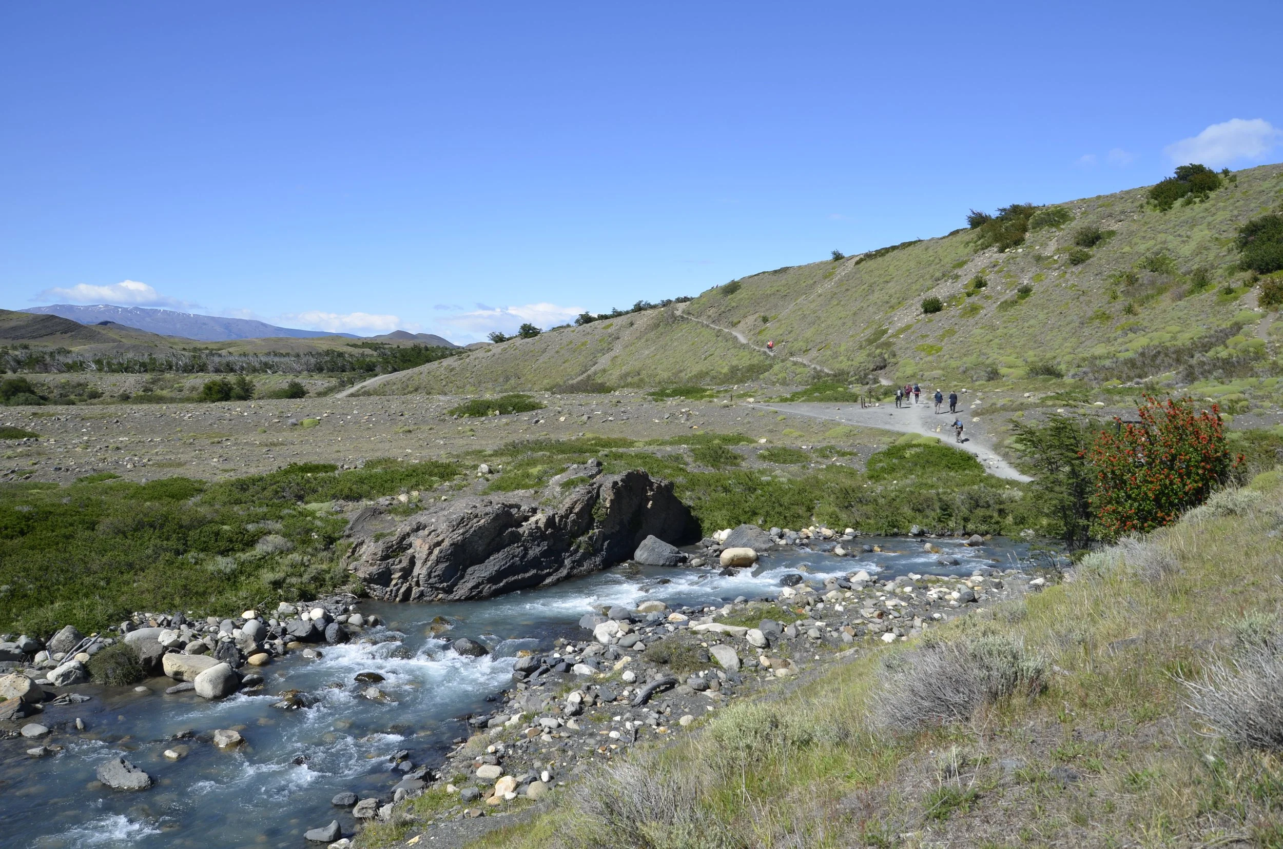
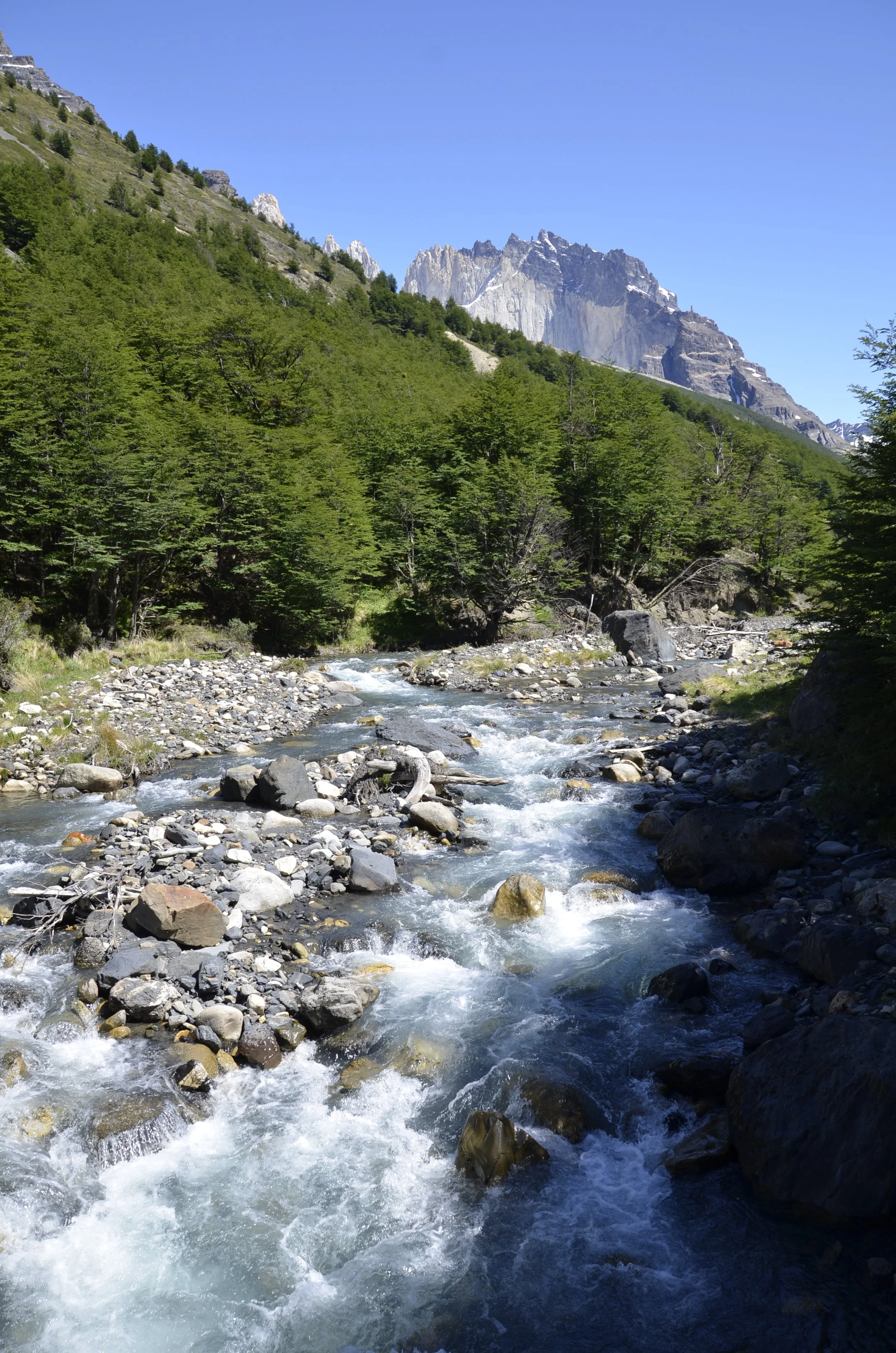
We crossed a stream before we started climbing…

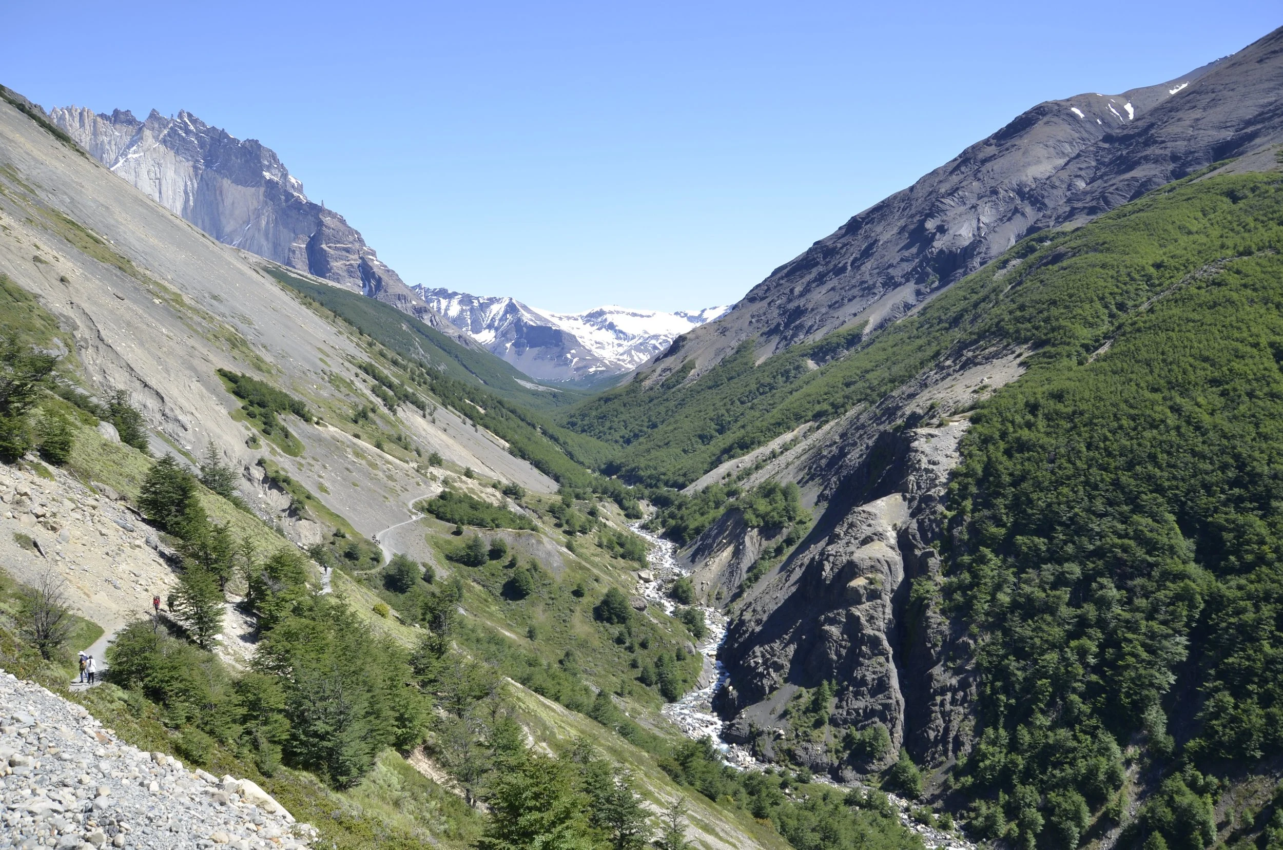
… and after a few kilometers, we looked back to see how high we’d gotten -

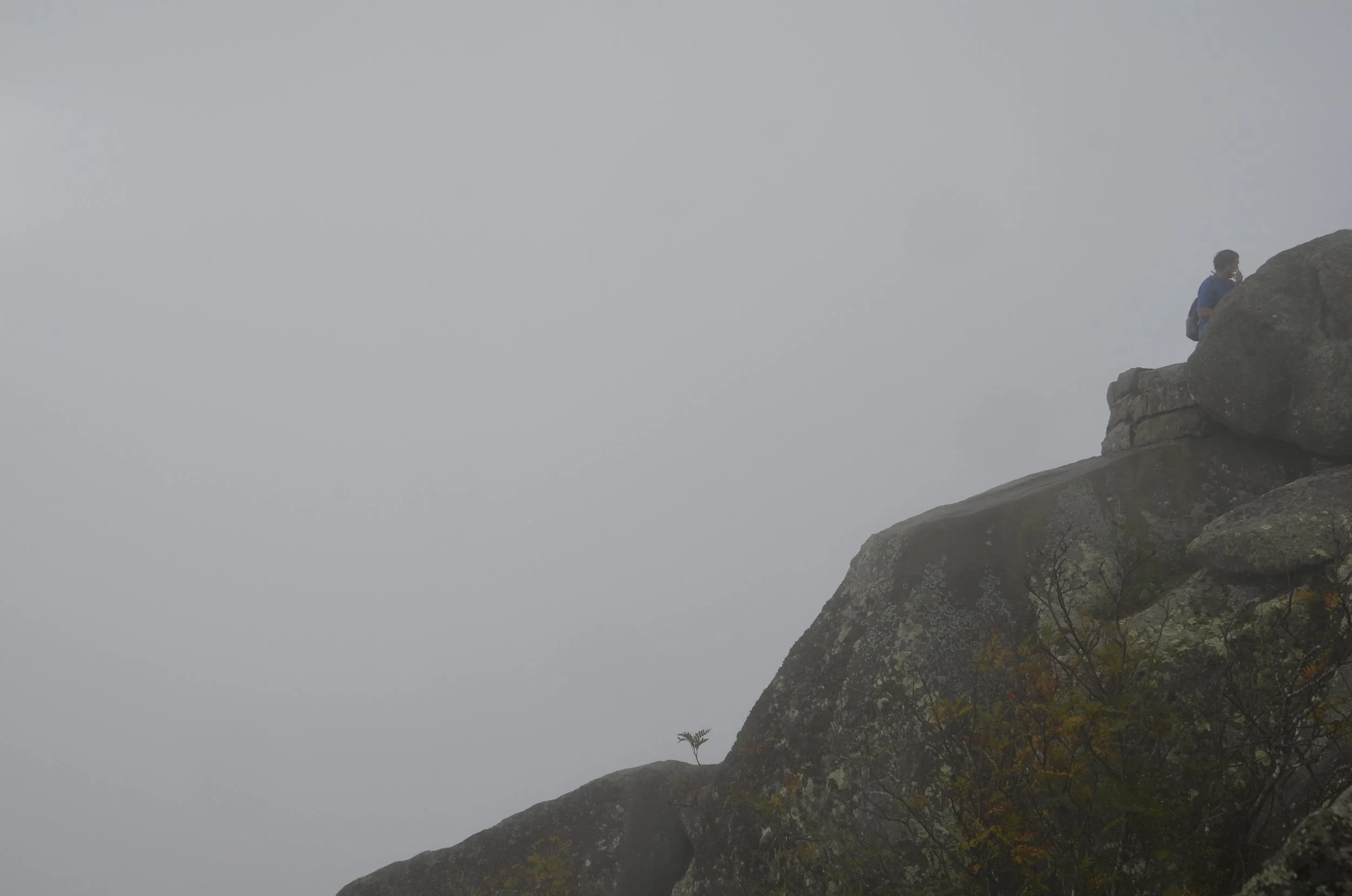
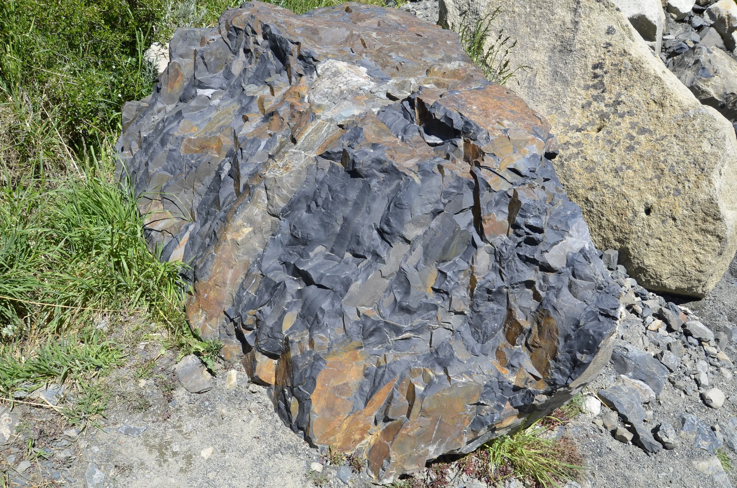
About 2/3 of the way there, we came to “Windy Pass” -

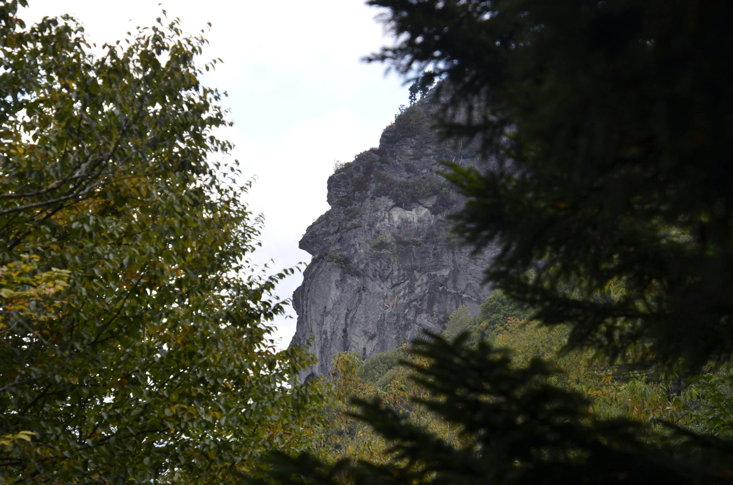
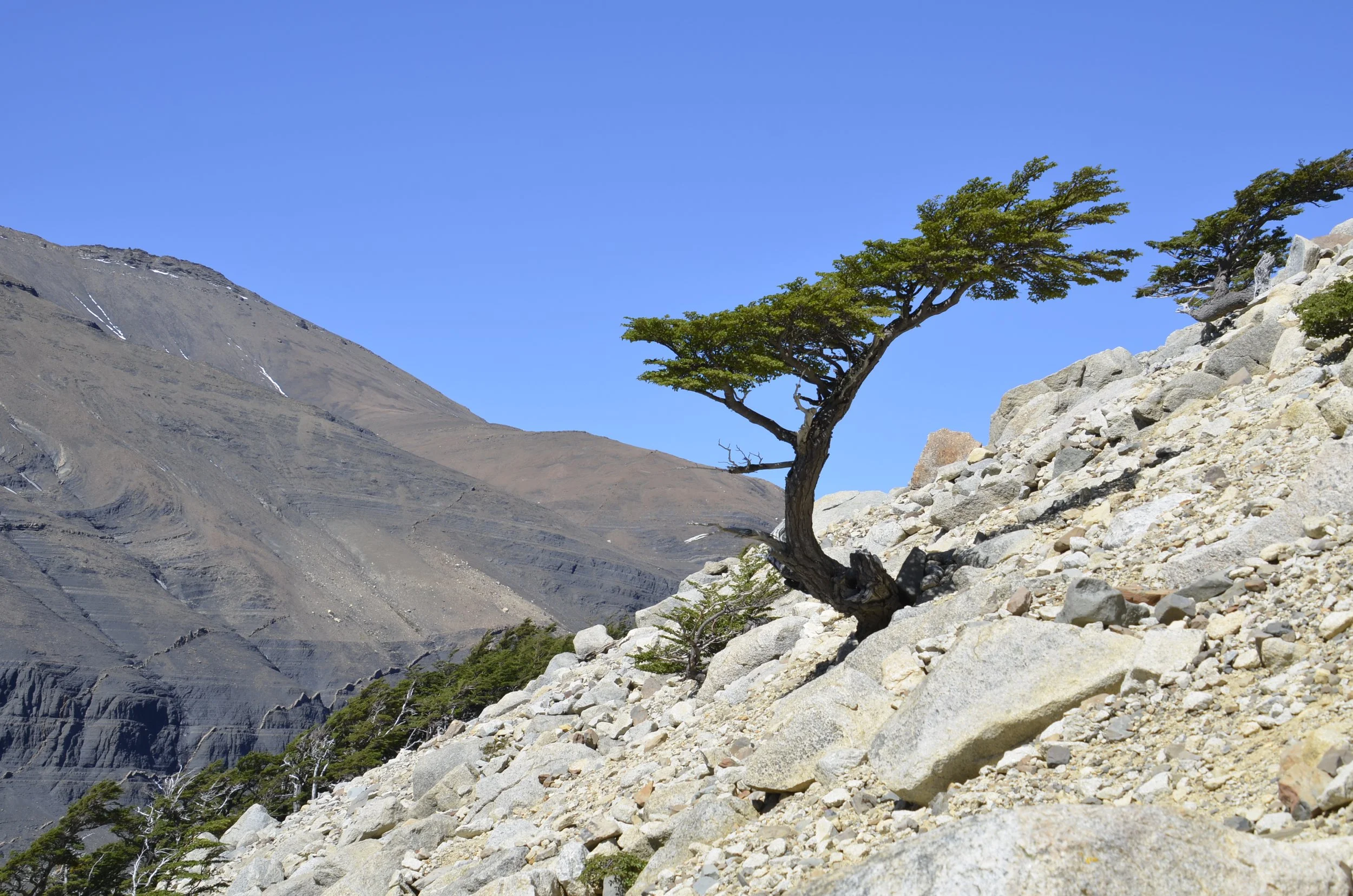
…which was luckily not very windy, but had this neat rock -

As we crossed this river…

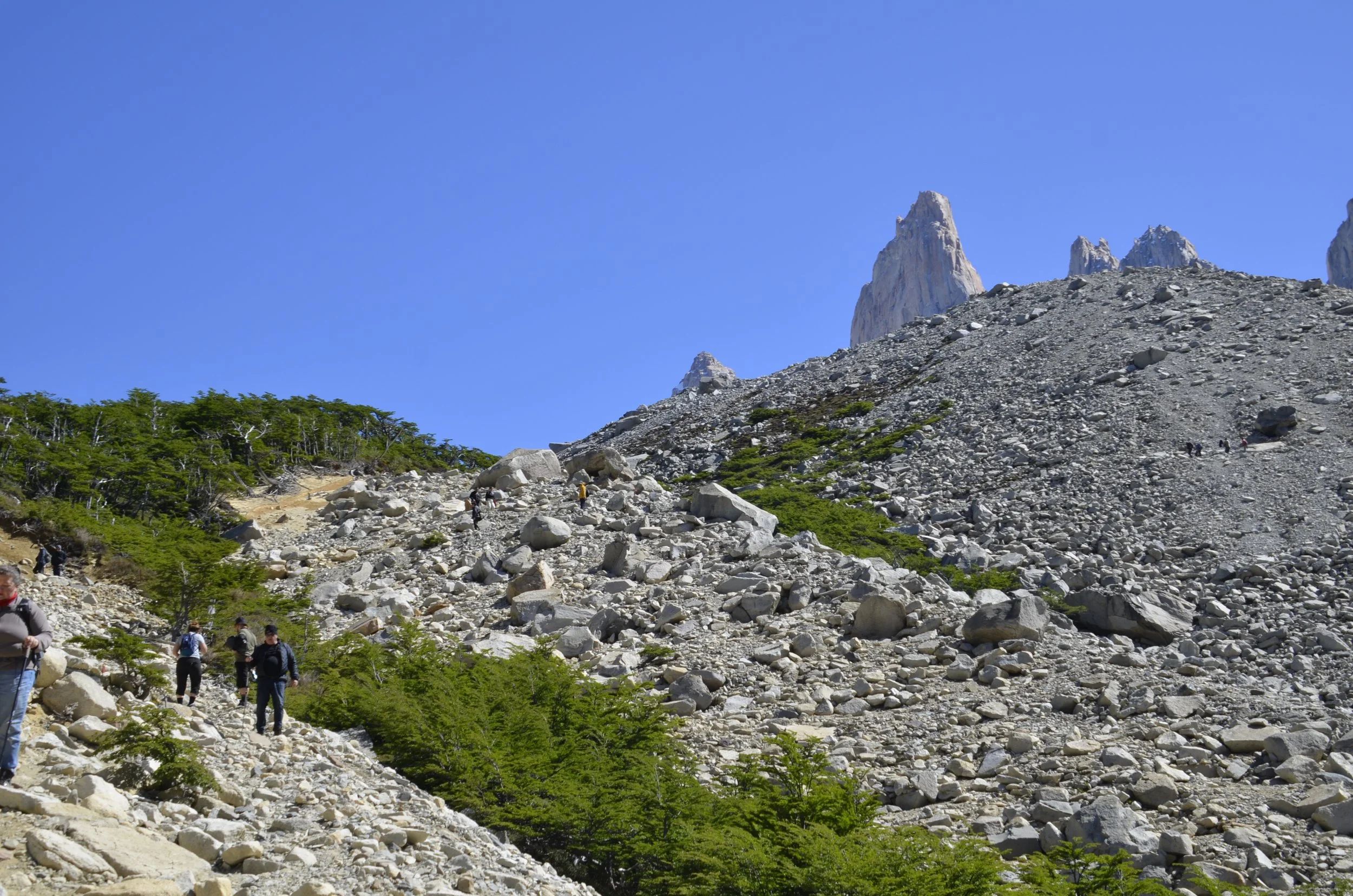
… we finally saw our goal, after hiking 8 km…

… but we still had a lot of elevation to gain. The total length of the trail to Mirador Base Las Torres (Viewpoint of the base of the towers) was marked as 10 km, but getting to and from the trail and our truck made our total hike (out and back) 21 km (13 mi) long.

The last 2 km was really steep and consisted of lots of rocks, and even boulders, and was crowded with hikers going both up and down.

I basically kept my head down and kept on trudging, so I took those pictures above on our way back down, when I had plenty of time and energy.
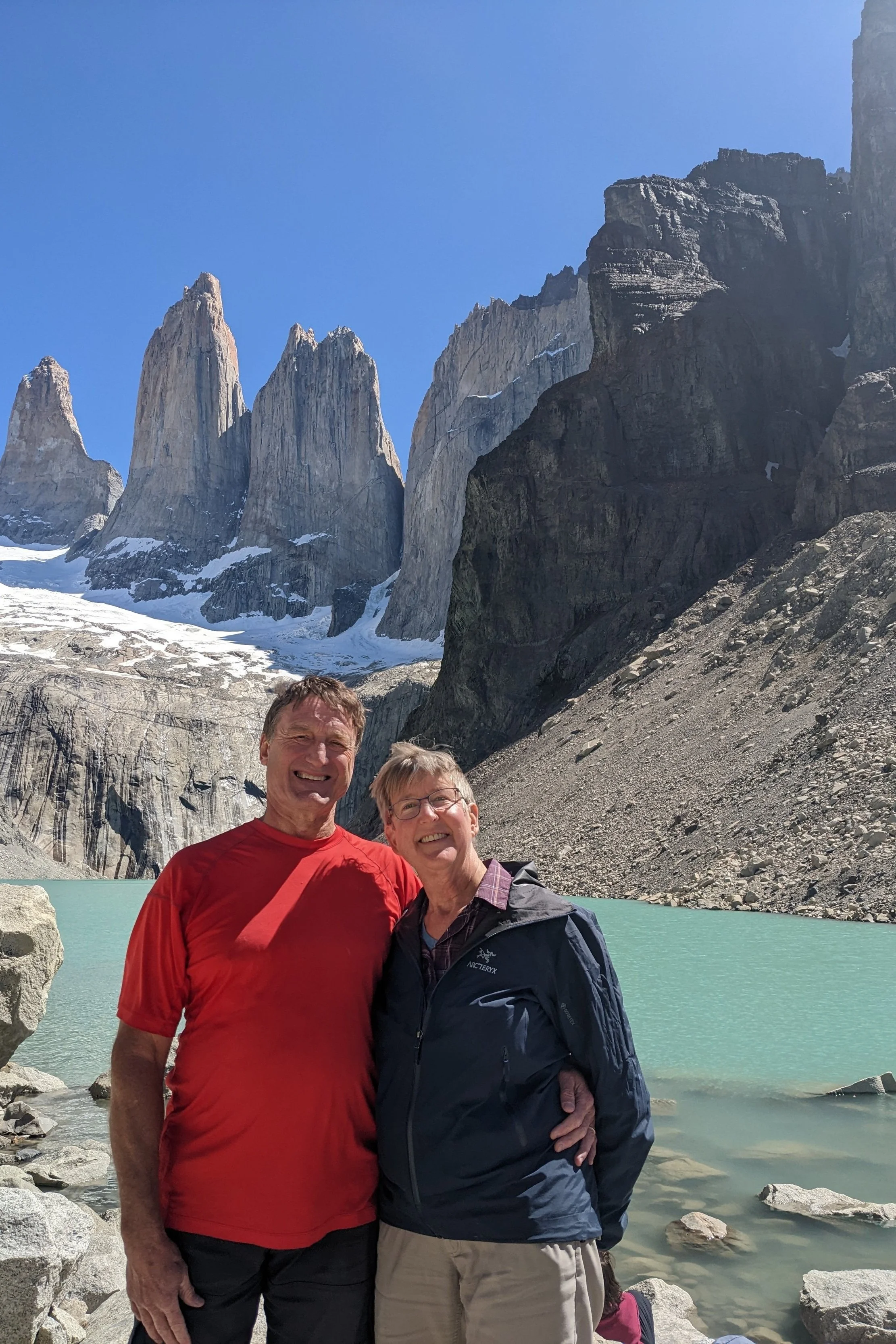
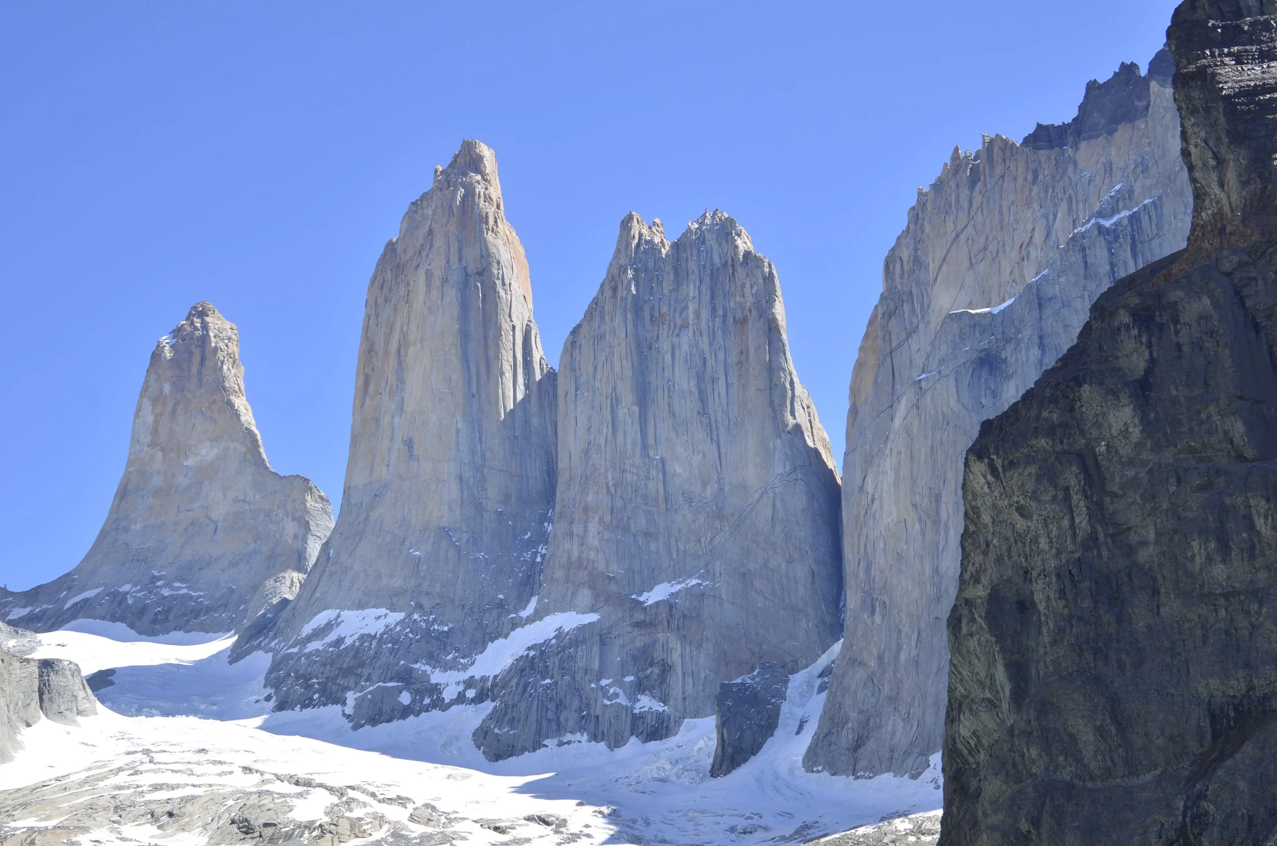
Success!

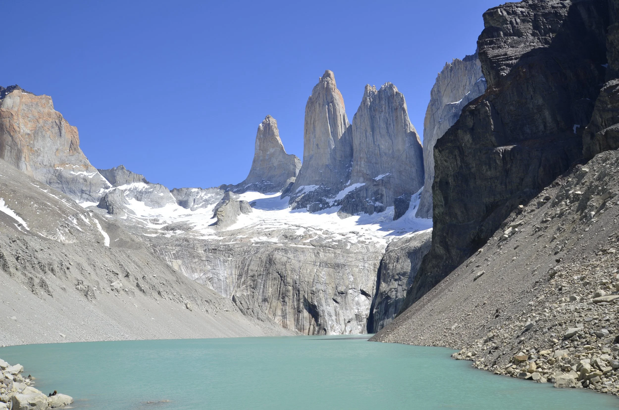
There were a lot of people there…

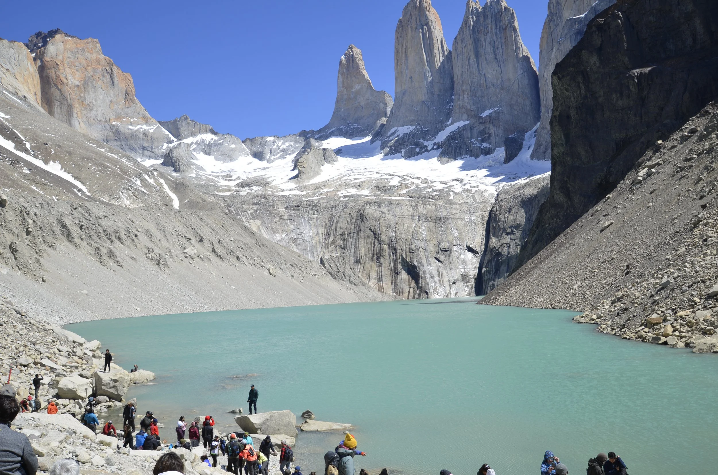
… which detracted from the sight for me, but I just kept taking pictures…

… trying to avoid…

… those pesky humans.

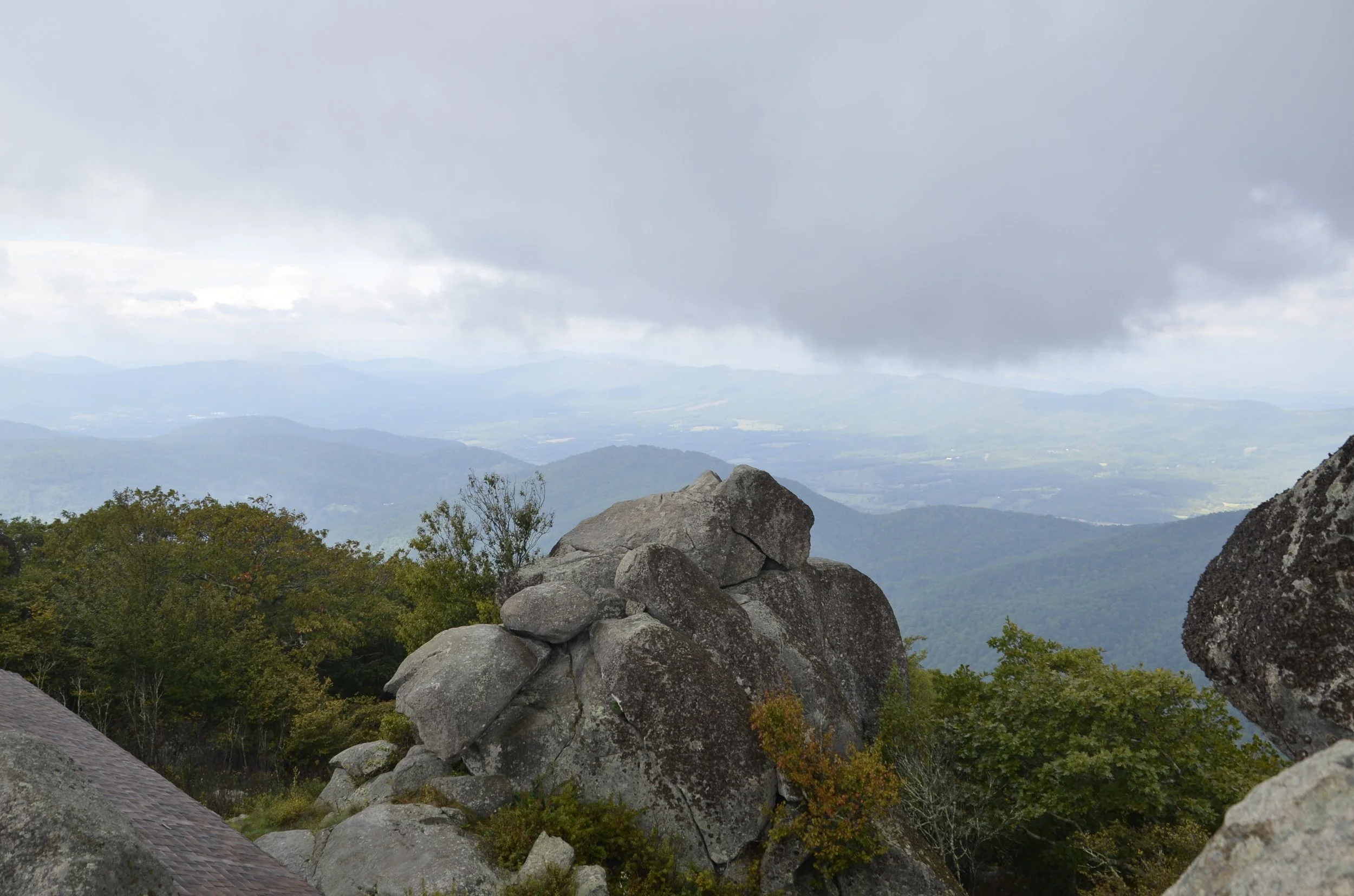
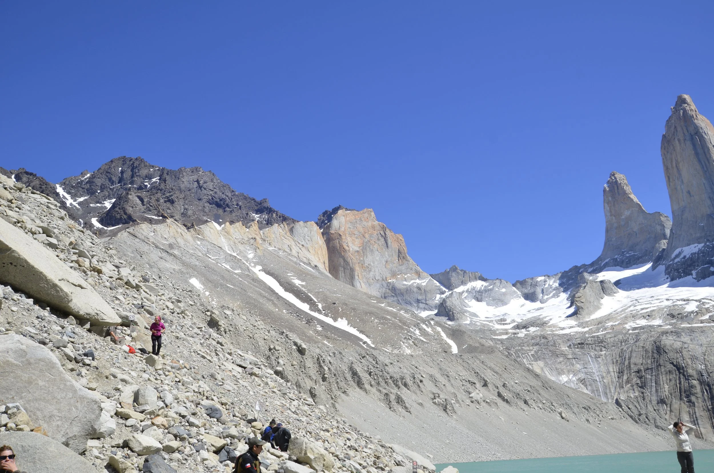
We actually enjoyed the hike back down more than we have on other trails, because we were basically alone…

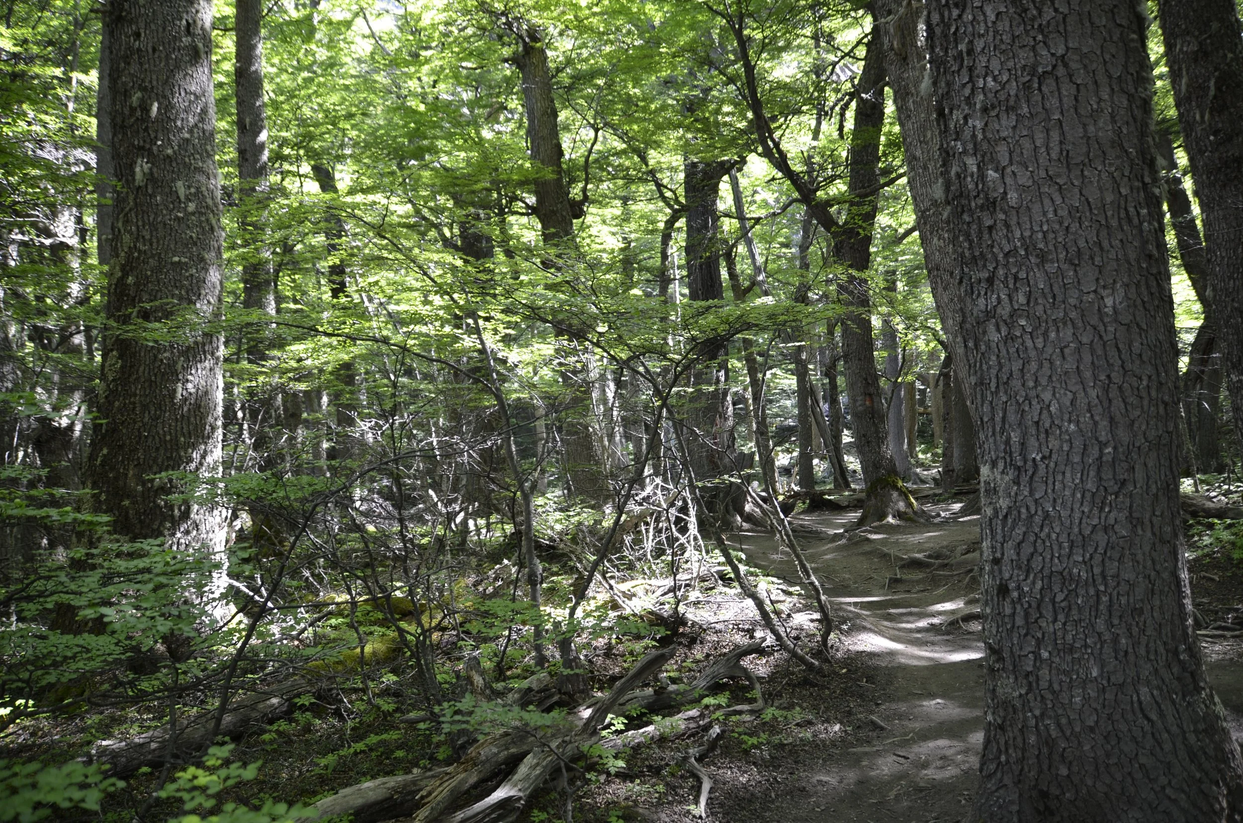
… and could take in the awesome topography -

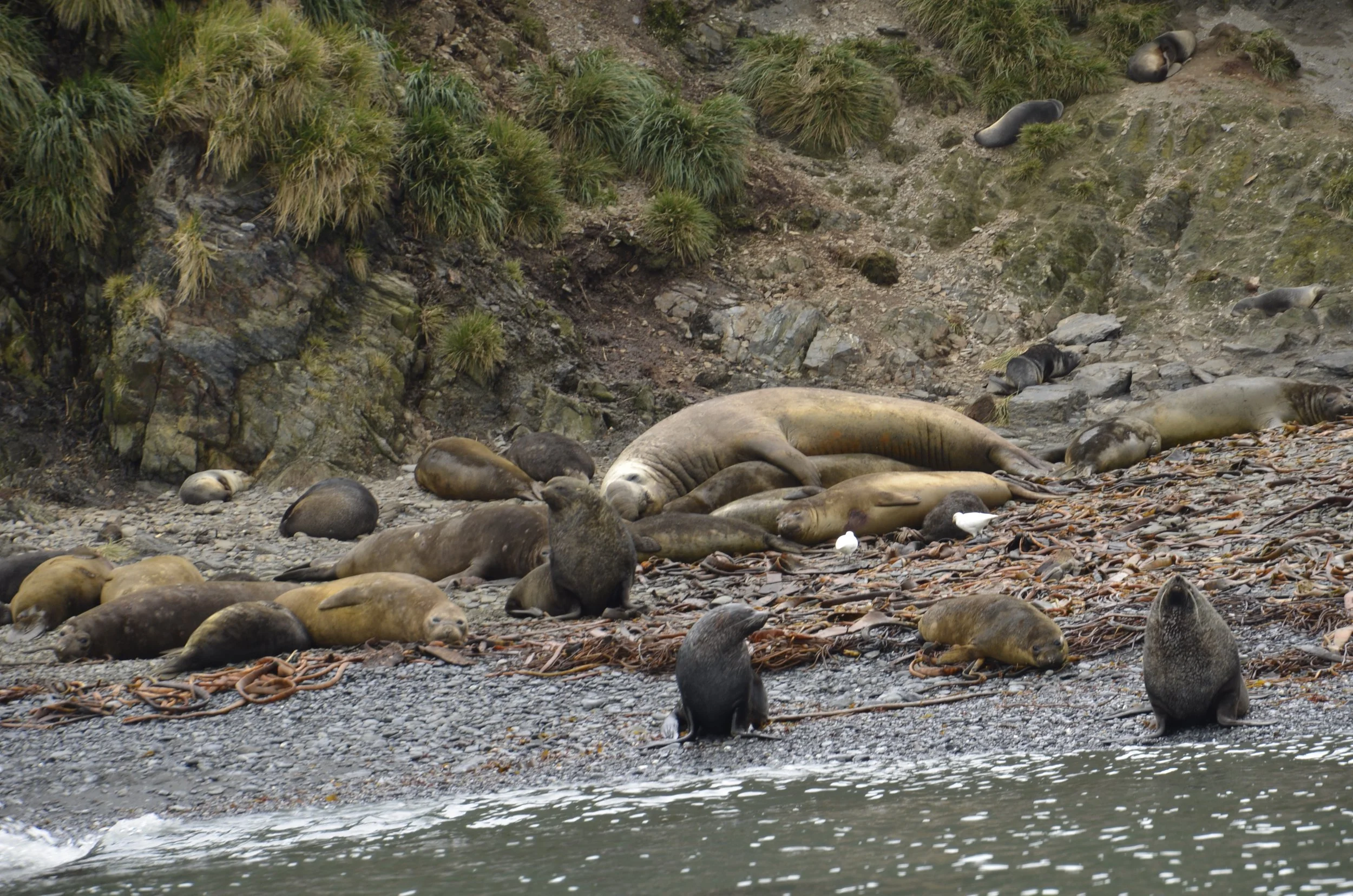
As we drove back to our hotel, we saw some of our first Guanacos…

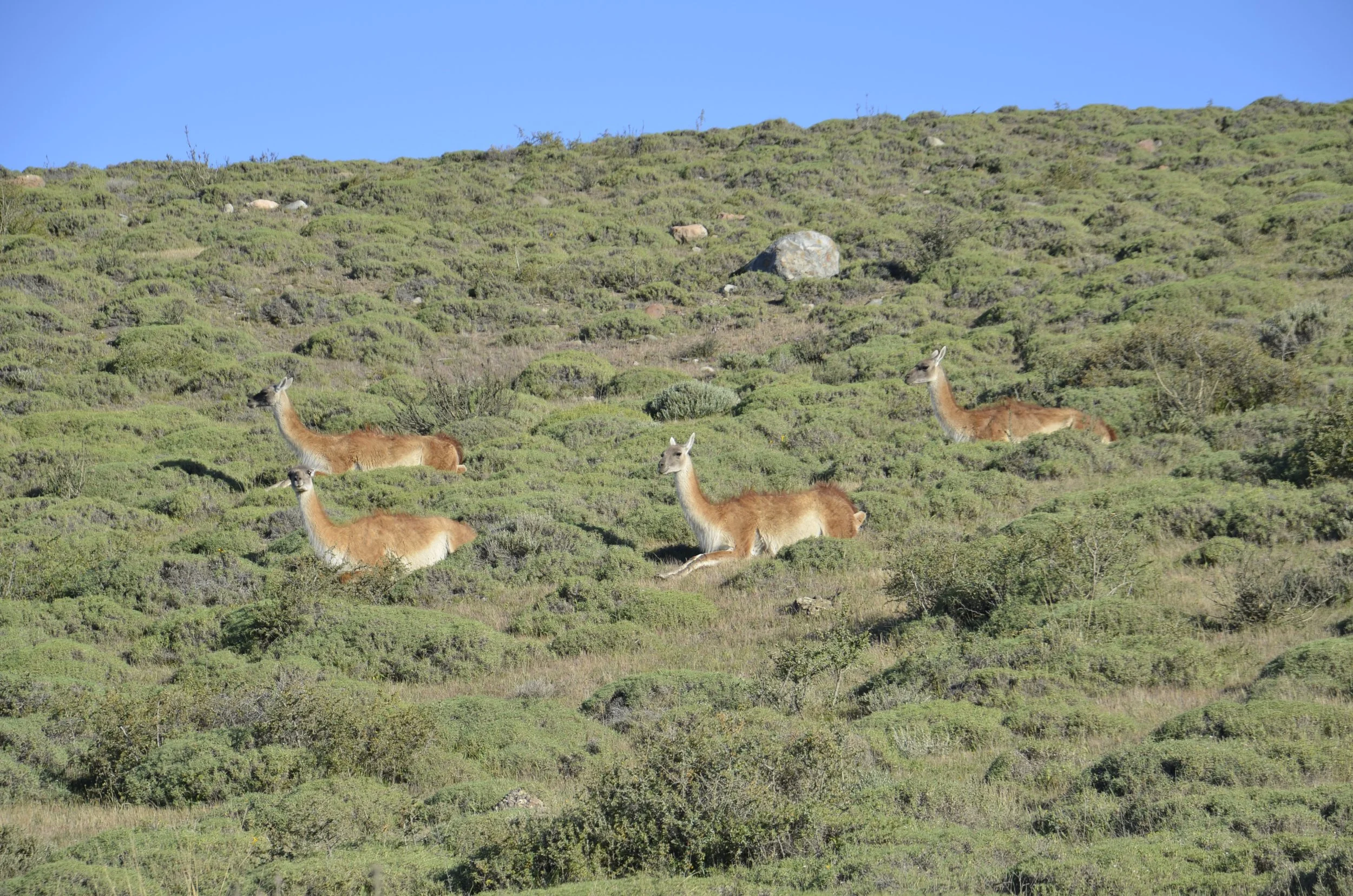
(I loved how that one was lying down with its feet in front of it)

…which became a common sight during our next several weeks of driving.

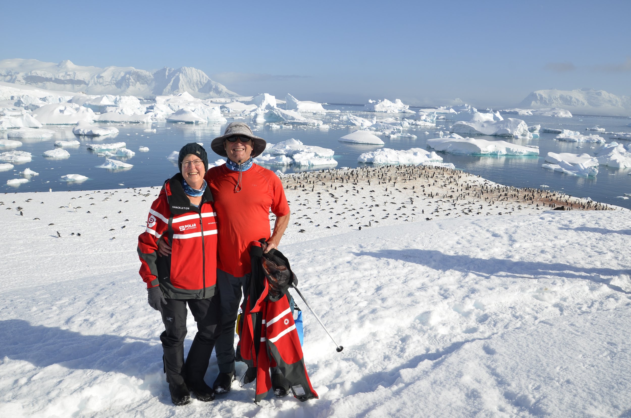
At the end of the day, after 8 hrs of hiking, and 2,460 ft of elevation gain, we were two tired, but happy “old fogeys”. :)

French Valley

Our first full day in Torres del Paine park dawned grey and intermittently rainy, so we decided to hike the French Valley. There is a trek in the park called the “W” that has three arms of long hikes, and is usually tackled as a 4-5 day camping/hiking trip. You may know by now that my camping days are probably over, but I had read about doing 2 of the arms as day hikes. Because the weather wasn’t the greatest, we chose the “lesser” of the two hikes we were interested in. Hiking the French Valley is “only” 18 km (11 miles) with “only” 450 ft of elevation gain (if you don’t go up to the glacier lookout)…

… and it took a catamaran ride across a lake to get to the trailhead. The start of our hike was rather dreary -

Because we couldn’t see the great vistas we were supposed to…

(this is usually a gorgeous mountain with a hanging glacier)

… I focused on the little things -

(these are the flowers on the Notro bushes you may see in some of my pictures)

White Dog Orchid

I was able to catch a glimpse of the hanging glacier above us as we walked -

The skies cleared somewhat, so we could see a little of the grandeur around us…

We crossed a glacier fed river on a slightly swinging bridge…

… and tried to get some pictures of the Frances (French) glacier…

… but the rain had really set in, in earnest by then…

… so we turned around and headed back.

As we reached the last few km, the skies were clearing…

… and we could really enjoy the beautiful blue of the lake that we had crossed in the morning.

As we drove back to our hotel, we passed by Lake Pehoe…

… and turned around to see the storm we had hiked in, coming out of the valley -

After 6 1/2 hrs of hiking, 5 of them in the rain, we were certainly glad to be finished. I’ll close with Steve’s great picture of the orchids -

Starting into Southern Patagonia

As our cruise ended, we sailed into Ushuaia, Argentina in the early evening.

Ushuaia is generally considered “the southernmost city in the world”. I was thrilled to see solid land and green trees! We went for a short walk around our hotel…

… and really enjoyed the views.

We were leaving the hotel early the next morning to catch our bus to Punta Arenas, Chile where we were going to pick up our rental car. The front desk called for a taxi, and we waited…and waited… and saw others be picked up by taxis… but ours never came. Finally, as we were nearly panicking that we would miss our bus, the hotel brought around a van and took us into town. We found out that Argentina was playing a World Cup soccer match that morning, and no one was doing anything (in the town of 70,000) other than watching the match. We did catch the bus, with 10 minutes to spare, and settled in for what we thought was a 12 hour bus ride. Nicely, the border crossing into Chile didn’t take nearly as long as we were expecting, and we arrived into Punta Arenas in time for dinner.

Part of the trip from Ushuaia included a ferry crossing (of the Strait of Magellan), in the bus. We were allowed out of the bus for the crossing, and I snapped this pic as we left. The road came down to the water, where the ferry would drop the ramp (unsecured) and cars, semi-trucks and buses would drive on, after the previous ones unloaded -

I thought the clouds blowing up and over a cliff just outside of Puerto Natales was pretty cool -

The wind was really fierce down here, shown by the whitecaps, as seen from our hotel room…

… and it was tossing the Black-necked Swans around -

This was the road heading into Torres del Paine National Park, our first big destination…

… and the first hint of the beauty we were going to explore -

This was our rental “car” for the next month, and you know it’s chilly/windy if Steve is wearing the parka from our cruise!

We arrived to our hotel fairly early, because we were going to take a cruise to see a glacier, but it was cancelled due to high winds. So, we went for a walk instead and were treated to the elusive Magellanic Woodpecker (that birders all over the world come to see, and aren’t always successful). We were just walking in the woods and I saw a flash of red -

Sorry for the blurriness, but I was shooting in low light. This was the best picture I got. (as I write this post, we’re now 2 weeks into driving and hiking, and have yet to see another one!)

I’ll close with a shot from our hotel, near sunset -

End of the World

As I gaped all around…

… and took picture…

… after picture…

… of pristine snow…

… I couldn’t stop saying, “WOW!”

Being one of the first boats down of the season meant lots of pure white snow…

… and tons of icebergs.

Our first morning excursion on the actual Antarctic Peninsula was on Cuverville Island…

… which had a large colony of Gentoo Penguins…

… and a lot of untrammeled snow for us to tramp in.

Note in the picture above that the penguin nesting areas are scattered all over the bottom of the photo.

Going ashore gave us a chance to stretch our legs…

… and meet the inhabitants –

Penguin couples were doing their thing…

… while others were taking the “penguin highway” to the sea.

Steve quickly overheated tramping through the snow, even though we were in Antarctica (fist pump!) and it was about 32 degrees –

You just can’t beat that setting, can you?

Hooray, we made it and it’s a glorious day! (bet you can’t tell I’m excited!)

This was the little hike we did…

… and it allowed me to get this shot (which was picked as a finalist on the boat’s photo contest!) –

I also liked this one’s style –

This was one of Steve’s favorites, with them heading right at us…

… but I liked the reflections on this one –

The lone Chinstrap among the Gentoos –

This next picture has a lot going on. Note the thickness of the snow at the shore, which had built up over the winter, and will apparently be completely melted away in a month or two. Also, the tracings of all the penguins going up the hill in back are cool. And the “sad” little guy at the shore –

We enjoyed a Zodiac excursion in the bay…

… where we got to sneak up on a Leopard Seal…

… who felt like showing off –

This helps you somewhat appreciate the extent of an iceberg underwater –

The fantastical shapes and colors were mesmerizing –

You know by now that there needs to be a reflection picture somewhere in here –

Little did we know that this was to be our last outing of the trip. We were supposed to have an afternoon with a Chinstrap colony, but by the time we sailed there, the winds had picked up so that a landing was unsafe. 

We started motoring north, as there was a monster storm brewing in the Drake Passage, and the captain wanted to try and run around the east side of it, if possible, before heading back NW to Ushuaia.  So, we actually had one day less on Antarctica than had originally been planned.  We did get to the 64 degree South latitude line, with sunrise occurring at 0330 and sunset at 2040.

The Drake Passage is the body of water between Antarctica and South America and the seas are unimpeded by any land all around the globe.  This area is often referred to as the “Roaring 40’s”, hinting at windspeeds, as well as noting the latitude  location.  When crossing the Drake, you can either have the “Drake Lake” or the “Drake Shakes”.  Unfortunately, we experienced the latter.  For two full days, the boat pitched and rolled, while passengers and crew tried mightily to remain upright, and not let things slide off tables.  The second night was the worst, and we found out the following morning that we had over 8 meter waves (27 feet)!

Ah well, we arrived safely in Ushuaia, fondly remembering our visit to such a special place.

Cierva Cove, Antarctica

The next day dawned grey and foggy…

… but there were some gorgeous icebergs floating by –

By the time of our Zodiac expedition, it was raining, sleeting and snowing. I wasn’t super thrilled to be sitting on a rubber boat for an hour or more in that, but I/we soldiered on and saw our first colony of Chinstrap Penguins –

They lived way up on top of a rocky island, but I was glad I had my long lens, and a few happened to be down near the shore as we motored by – (I’m sure you can figure out how they got their name)

We continued slowly touring the bay in the Zodiac…

… and marveling at pieces of ice like this:

This is probably 10,000 year old ice that had been at the bottom of a glacier, and all the air had been compressed out of it, making it so clear.

The afternoon slowly brightened and the precipitation stopped…

… so we could really enjoy our stark surroundings.

We played a little bit of peek-a-boo with the ship as we toured around the iceberg garden –

You’ll have to excuse the bit of talking in the next video, but just take in the sound of the rustling ice –

(sorry I keep reminding you about opening the post in a browser, but in case there are new readers, or dear ones who forget from time to time ;), I’ll just keep reminding before every video I post)

We moved on out to the Gerlache Strait, and as the sun was setting…

… the whales decided to put on quite the show.

(I know this is dark, but if you enlarge it, you should be able to see the 2 whale blows)

We were told that there were 3 species of whales all feeding and blowing in front of us – Fin…

(that dorsal fin is back near the tail)

… Orca (but I didn’t get any pictures of them) and Humpback. I think this was a Humpback mother and calf…

…. mainly because of their showing off as they dove –

Closing now with my super lucky shot of the trip -

Finally, ANTARCTICA!

Well, it wasn’t really the Peninsula yet, but close enough. We stopped at Elephant Island, which is where Shackelton’s expedition group remained on a tiny spit of beach to await rescue (if it were to come at all).

It was a foggy, grey morning when we reached the island, thus the brooding mood in the pic above. Note the relatively small black rock above. That was where the 22 men waited for Shackelton to come back and rescue them, after he and 5 of his men set out for South Georgia (800 miles away) in a small lifeboat. They were there for 4 months, using 2 overturned lifeboats as their shelters.

I thought it was really neat that the closest rock/mountain had a hanging glacier -

As we continued cruising southward, the weather cleared nicely, and this was our view from the window at our lunch table –

After lunch, whales were spotted, and the entire ship emptied onto the prow to marvel at them. They were Fin Whales, which are second only to Blue whales in size – (be sure to open this post in your browser so you can see the video)

Continuing on south…

… we passed more and more beautiful landscapes –

We sailed on through the night, and arrived in Mikkelsen Harbour in the morning to go ashore on a small island and wander among penguins and seals. Do you see the island with the emergency shelter hut down in the left of this next picture?

From a distance, I thought the vertical blue stripes were ice, but in fact they were just cracks in snow -

There was a Gentoo Penguin colony to visit…

… and Weddell Seals to gawk at –

I loved watching them waddle (and this group was fairly synchronous) …

… but this video was even more fun –

When the sun came out, you could really see the spots on the Weddell Seal…

… and s/he really seemed to enjoy a nap in the sun –

This was such a formal welcoming party –

All right… enough with the penguins… I’ll close properly with a sunset. This is truly how the sky looked; I did nothing to the photograph whatsoever.

Last of South Georgia

For our last stop on this fabulous island, we did a Zodiac tour of Elsehul, which is an inlet in the extreme NW tip of the island that has colonies of penguins and albatrosses high on the cliffs. But first, we did a quick sail through Prince Olav Harbour, which also had a whaling station. I took these pictures…

… just because the bay had such a stunning backdrop…

… and only when I looked at them more closely, could I see the whaling station at the foot of the mountain in the picture above.

Our main stop that day was Elsehul, and the weather was much more dreary there. However, it didn’t bother me for the close-ups I tried to get of Macaroni Penguins…

… as they hopped up the cliffs past fur seals… (sorry it’s a little blurry, but I liked the hop that I caught that last one in)

For those who might wonder about the similarities or differences between Macaroni…

… and Rockhopper Penguins –

You can probably see that the Macaronis have a bigger bill, and their crest is more orange and starts in front of the eyes, in contrast to the little spear of yellow coming out from behind the eyes of the Rockhoppers.

Moving onto Imperial Cormorants…

… nest building and courting was in full swing…

… as it was with the Light-mantled Albatross –

(check out their eye “make-up”)

I know most of you are not birders, but we saw so many beautiful and unique birds on this trip that I couldn’t help but share some of the pics with you. So for those of you who might be more into seals, here’s a very happy (or tired?) male Elephant Seal with his large harem (which nearly all had new pups) -

After this, we headed out to sea, on our way to Antarctica. This crossing was nearly 3 full days and nights, and was pretty rough. Early on, we passed a large iceberg…

… that had some gorgeous striations on top, and stark geometries left over from calving pieces –

Check out the penguins (tiny black specks) who hitched a ride, giving a stark scale to this behemoth –

On the day before arriving in Antarctica, we were supposed to pass by the largest iceberg in the world, which is roughly the size of Puerto Rico.  However, it was very foggy, and we couldn’t risk getting any closer than 4 miles from it, due to the likelihood that it was calving a bunch of icebergs.  We were told that super large icebergs create their own weather due to the fact that they are so large and much colder than the surrounding water, thus creating fog.

I don’t have a great picture for a blog closer, but on a nice sunny day, I took this picture of (actually small) waves beside our boat –

Next post is Antarctica!

More South Georgia

Our next stops were to whaling stations. I won’t go into the sad history of this, but the coves or bays they were located in were quite protected and beautiful. Grytviken is the first (and only) one to have been restored, and we could wander around it.

This is how we went out for excursions –

We would get dressed in waterproof jackets and pants, and pull on our tall rubber boots (on loan from the boat). We would then load 10 people per Zodiac, and because the Seaventure is pretty small, all passengers could go ashore at roughly the same time. If we went on land, we were given a quick briefing of where we could and could not go, as well as when the last Zodiac back to the boat left. Depending on the weather, we’d spend anywhere from 1-2 hours wandering and taking pictures.

At this site, we spent little time around the station…

… as we wanted to join the hike going up the hill above the station and bay. But first, this is how a Fur Seal sounds when he’s moving toward you. I was surprised by how high pitched it was – (remember to see & hear the video, open this email in your browser, with the link at the bottom of this page)

I kind of liked the rusting tank as a nice contrasting background for the Antarctic Tern –

In the next picture you can see the kelp as the dark patches in the water in the bay. The freshwater lake is in the hill above the station, and it provided both water and hydroelectric power for the station.

We hiked up quite a bit of broken shale, which along with the different colored patches of lichen, was pretty photogenic.

Rats “infested” South Georgia when the first whaling ships arrived 150 years ago, and unfortunately they thrived. They greatly depleted the endemic bird populations (including penguins) due to preying on eggs and young chicks that were in nests on or in the ground because there are no trees on the island. In 2011 the South Georgia Heritage Foundation began a rat eradication process by dropping poisoned food pellets by helicopter over any land with vegetation. A large percentage of the island is actually continually covered by snow and ice, thus limiting the areas that needed to be treated. Also, glaciers form a natural barrier that the rats can’t cross and reinfest an area that has been treated. In 2017 the island was declared rat free! This allowed this beautiful Yellow-billed Pintail Duck, which is endemic to South Georgia, to again be common on the island -

Our next stop was Stromness, which was a bigger whaling station. It is just now being assessed as to the viability of opening it to tours, but first asbestos has to be cleared, and falling down buildings need to be supported.

Again, the surrounding area was just stunning –

Because there were too many Fur Seals on the beach…

… it wasn’t safe to land, so we took a Zodiac tour instead. And an Antarctic Cormorant joined us! Our guide said she has been coming to South Georgia for 7 years, and she’d never seen this happen before.

S/he hitched a ride for 15-20 minutes!

This pair on the shore was courting –

Leith Harbour was a large station, but we just did a sail-by and took in the majestic surroundings.

Fortuna Bay -

… had a fairly large King Penguin colony back about 1 km from the beach. You reached it by walking down the broad plain left behind as the glacier in back is retreating. It was quite picturesque…

… and it was pretty fun walking beside lines of penguins also heading back.

A number of them were cooling off in the streams flowing down -

There were more “moulters” here than we had seen at previous sites, and we were cautioned not to encroach on them or cause them to move.This is because they can’t go in the water until they have fully shed their old coat and become waterproof again, and thus have to be fasting until then.

I liked this little side valley –

Another awesome vista (showing the glacier melt-water)…

… and this view showing the expanse of the valley and beach –

As we were leaving, the sharp peaks behind the glacier finally came free of the clouds and gave us a great send off.

St. Andrews Bay, South Georgia

After we visited this fantastic site, our cruise leader asked in the daily debriefing, “Did you feel like you were in a BBC documentary? Well, you were!” Sir David Attenborough visited this place, and the opening of the Frozen Planet 2 series was this picture (!) -

But I’m getting ahead of myself… We were awakened at 0500, to begin disembarkation at 0530 (sunrise was at 0400)…

… a bit of scale with the Zodiac – note all the little flecks on the beach – that’s thousands upon thousands of King Penguins –

What a glorious welcome!

This Giant Petrel looks almost prehistoric, and you can see why his family of birds are called “tube noses”:

St. Andrews is home to the largest colony of King Penguins on South Georgia, with an estimated 150,000 pairs! First, a panorama…

…then a video, to share the symphony that is St. Andrews – (note - open this in a browser by clicking the link at the bottom of the email)

I really liked the brown “river”…

… and this is what it is made of – hundreds of chicks -

We didn’t get close to this glacier, so I was glad to have my long lens.

This made me want to sing,”The hills are alive, with the sound of (penguins)” -

You can see the ground is covered with feathers, which the penguins have been shedding during their moult –

This one was taking a nap all by himself…

… while these Elephant Seal pups seemed to prefer a group nap –

These colors were truly brilliant –

I couldn’t stop taking vista photos, as well –

Now, back to the beach. As we came ashore (like this crowd)…

… we were treated to (literally) tons of Elephant Seals –

I spent a lot of time at the end of our visit, on the beach, to try and document the activity. First, the promised Elephant Seal. (these animals really must be the model for Jabba the Hut of Star Wars fame) –

Going out to hunt…

Warming up with a fully belly –

Walking is hard sometimes…

What a glorious visit! -

South Georgia afternoon

Right Whale Bay was our afternoon stop, but the seals were so numerous on the beach that we couldn’t land.  That’s a good problem to have, for the island in general, but it meant that we would instead explore the area by Zodiac. 

This shot reminded me of the Galapagos, with seals and cormorants sharing a rock, but the air temp was at least 40 degrees cooler!

Then this shot made me think of an alpine lake, with the snow-covered jagged peaks and waterfall –

However, you probably won’t find Elephant and Fur seals, penguins or tussock grass in Europe. ;)

Even though we couldn’t land on the beach, I nearly got my fill of Elephant Seal pictures, with this one obliging with a big yawn –

Any time the King Penguins would move along a beach, they tended to line up and look like a bunch of aristocrats on parade –

The muscle mass that these big guys must have to move their bulk is pretty impressive –

A nice family tableau…

… and an impressive “schnozz”.

Here you can see the recent battle scars on both the Elephant seal, as well as the Fur seal in the background –

We were treated to the sight of the poor female nearly being crushed by the male, who is four TIMES her size!

This beach was definitely packed with Elephant Seals…

… with many of them yawning in the late afternoon.

This is a pretty short post, since the next one will blow you away (I hope). I’m closing with this guy seeming to say, “Well, I think YOU’RE funny looking!”

South Georgia

This is a very special place because it is so isolated, and the birds and seals have been allowed to live and repopulate the area after suffering nearly catastrophic losses during the whaling and sealing years from the early 19th through the mid-20th centuries.  Whales were also hunted nearly to extinction, but we haven’t yet been blessed with sightings.  Hopefully this will change when we get into Antarctic waters.

Our first glimpse of South Georgia at breakfast was…

… breathtaking.

As we took in the scope of Salisbury Plain…

… I zoomed in from our perch on top of the boat, to find the beach and plain covered…

… and alongside the boat, groups of King penguins were returning from their fishing.

This is what we looked like when we went ashore -

There was always a “welcoming” committee of penguins and seals…

… but we were constantly on our guard for the Antarctic Fur Seals…

They were stinky and aggressive, and we were warned to give them a wide berth. A number of staff were always posted along walkways, holding a hiking pole. When a seal approached, they would stand tall and wave their arms and pole, to keep the seal away from those of us with cameras and binoculars.

The King Penguins were either oblivious or curious, but mostly self-absorbed in preening…

…because they were moulting.

There was an enormous King penguin rookery…

… that was noisy… (click link at bottom of email to open in browser to watch video)

…and full of curious (and hungry) youngsters.

As you could see from the pictures, we were blessed with a gorgeous sunny day to take in the sights (and reflections)…

…and many seals enjoyed napping in the sun -

Most baby animals are darling, and seal pups are no exception. Since we were early in the season, there weren’t many, but I did find this pair of fur seals…

… and an adorable whiskered face…

…but the Elephant Seal pups took the cake for sheer size. This one was only 3 weeks old!

Elephant seals constantly grabbed my attention because of their enormity. The next picture shows the size difference between males and females - the male has his flipper over a female (sorry it’s a little blurry, but this was the angle that showed the difference the best) -

On later landings, I have more pictures of Elephant seals, as well as videos of them moving.

As we were leaving, the sun was high overhead, giving a great view from our cabin…

… and gorgeously deepened the ocean blue.

Leaving the Falklands and heading back to sea

Our second day on the Falklands was spent exploring the capital of Stanley (population 2,200).

You see the ridgetop that the last row of houses is sitting on in the picture above? That’s actually the extent of the town. On the other side of that hill is barren sand dunes –

The morning was foggy and blustery, but I got lucky and snagged a picture of a pair of Magellanic penguins –

Apparently there’s a colony that lives just outside of Stanley, but they were very shy the day we visited, and we could only see their burrows –

I was quite happy though, with the duck butt…

… of a Flying Steamerduck.

I could spout a lot of facts about the Falklands, but I won’t, as we just weren’t that excited when we were there.

Getting back to sea meant another 60 hrs of sailing, and another 2 days to work on bird photography. This was the view out our window the next morning (grey and foggy) –

Even though we were out in the middle of nowhere, a number of bird species would give us a fly-by…

That pair of Cape Petrels kindly showed off both the beautiful pattern on the top of the wings, as well as the smooth coloration underneath. As I had said previously, I really liked the albatrosses as they would glide effortlessly by…

Black-browed Albatross

… and they came in a variety of colors –

Light-mantled Sooty Albatross

I think this pair was a Wandering Albatross (white) and a Petrel –

The next day started a little foggy, and gave us this really cool phenomenon off the back of the boat –

It quickly brightened up, and I got on with trying to capture the elusive Antarctic Prion –

(this is majorly blown up and cropped) ;)

These little buggers would barely skim the top of the water and were super fast. It was like trying to photograph a flying mosquito at a distance! Then, I’d breathe a sigh of relief when a Giant Petrel would come gliding by, like an aircraft carrier –

Land ho! Shag Rocks –

A shag is the British name for a cormorant, and these rocks in the middle of the South Atlantic were covered with them –

They came by to check us out…

… and hopefully you can appreciate the brilliant blue eye rings. The one above is an Antarctic Cormorant, while this squadron were South Georgian Cormorants -

We bid farewell to Shag Rocks, as the fog came rolling back in again –

Our next destination was South Georgia Island, which is a haven for innumerable birds and seals, and I can’t wait to share lots of pictures with you in the next post.

First Landing

The first land we came to was the Falkland Islands, and specifically Saunders Island. This guy seemed to give us the side-eye as we walked by:

This is a Gentoo penguin, and there were hundreds of them scattered on a wide sandy beach –

As we walked on, we encountered King penguins…

…and they were kept busy trying to keep their nearly grown chicks fed. The chicks would follow closely behind their parent, usually chirping incessantly – (remember to view the video, open this email in your browser by clicking the link at the bottom of this post)

I liked the story…

… that this told.

On up the hill, we were greeted by hundreds (thousands?) of Rockhopper penguins…

…that definitely lived up to their name –

They were also sitting on eggs…

… as were the Black-browed Albatrosses –

(the one on the left seems to be saying, “Where’s mine?”)

They had a pretty big colony that had a great landing spot for incoming –

Out in the surf, the Commerson’s Dolphins were having a blast…

…while the albatrosses were protecting their small patch of hillside –

The poor King Penguin chicks…

… were just so overheated, on what we considered a gorgeous sunny day –

The Gentoos were cool in their sand nests…

…as they also sat on their eggs –

So…that was just our morning landing! 

We then moved over to Westpoint Island where we hiked across the island, like these Kelp Geese…

…to visit a mixed colony of Rockhoppers and Black-browed Albatrosses –

They were amazingly high up a cliff (especially for the Rockhoppers!) –

I’ll close with this little guy, who sums it up…

“Thank you very much!”

Cruising

We spent a few days in Montevideo, Uruguay and Buenos Aires, Argentina before joining our Antarctic cruise. We’re already planning on returning to Montevideo some February, when weather is nicer than the grey skies and rain that we encountered this time –

The “palace” at the main plaza was interesting and ornate. I love to get pictures of a country’s flag when we visit, and this next picture included both that and the architecture –

Puerto Madryn is a fairly large (~100,000 pop.) city on the Atlantic coast of Argentina, about midway down the length of the country. Argentinian flag –

On the way from the airport to the city, we stopped at a representation of Titanosaur, the largest land animal to have ever existed. A femur was found in 2013, along with a number of vertebrae, and this model was erected in the desert near the site:

(of course we had to have Steve for scale)

The tidal change for Puerto Madryn is very significant, and at low tide in the evening, the exposed sand ripples had a beautiful geometric design -

We were very excited to finally be embarking on our very first cruise, and for it to be to Antarctica, no less! On our way out to sea, we were escorted by some Dusky Dolphins. They were quite acrobatic, but I wasn’t quick enough to capture their leaps on camera.

Our first night at sea gave us this glorious sunset –

We then had two full days at sea (or actually 60 hours of sailing by the crew). We filled our time by going to lectures on geology, history or the wildlife of the places we were about to see. I worked feverishly on trying to photograph the beautiful birds soaring by…

…but captured them best when they floated by, sitting relatively still.

Black-browed Albatross

After talking with the resident photo pro, I was able to catch them on the wing much more successfully –

Cape Petrel

I think my favorite bird (of the air) was the Wandering Albatross. It has the longest wingspan of any flying bird on Earth, measuring over 10 feet!

I’m making this post relatively short because I have literally TONS of pictures to share with you about our upcoming days. Our second night at sea also went out in a blaze of glory –

Last of the Rapa Nui stories

Steve and I had rented a car for 2 days and explored the island on our own. On the second day, we did sunrise at Tongariki, and then had plenty of time to wander at will. As I noted previously, we even went back to Anakena beach to get the morning sun on the moai faces -

Nearby was a gorgeous secluded beach called Ovahe -

There was a site that had petroglyphs, that were best seen in early morning light, so guess where we went next? It may not be too clear, but this is a nearly thousand year old carving of a tuna -

We decided to hike on an easy trail that followed a “moai road” from the quarry to the coast. One hypothesis of how the moai were moved was “walking” them along this road, using a series of ropes -

We started at the coast, and as we walked, we passed about a dozen fallen moai -

About halfway there, we started getting a glimpse of the quarry (in the green, underneath the hill on the left hand side of the picture) -

This pair of moai fell so that we could see the carving on the face very well -

Note the angular spaces for the eyes. Our guide told us that the last step done after erecting the moai on platforms was to carve the eyes into a smoother, deeper and more oval shape, in order to place the coral eyes that were apparently in all erected moai. Here’s an example from another site:

On our way back…

… we were repeatedly dive-bombed by a raptor - a Chimango Caracara - and I actually got hit on the top of my head (and it felt like the beak, not a talon)!

On our last full day on the island, we toured with a guide and were able to go in all the sites we wanted. We started with Rano Kao - the largest crater on the island, which is filled with fresh water and reeds.

Akahanga was another site with toppled moai and a large platform, but interestingly, it had some scoria within it (the red stone usually used for topknots) -

The rain clouds were moving in as we approached the quarry, so we detoured to Tongariki, to get a few closer up shots (than what we had on the circling road) -

This site included the “Traveling Moai” that was given to Japan for a number of years, in recognition of their time, money and the huge crane that was used to restore the platform and numerous moai of Tongariki -

One archaeologist believes that there were once 30 moai on this extensive platform -

Now on to my absolute favorite site on the island - Rano Raraku, commonly referred to as “the quarry”. As we first started walking in there, it was cloudy and spitting rain…

… but that didn’t stop this intrepid photographer! ;)

I felt like we were walking through a garden of growing moai.

All of these buried moai were actually complete and what we don’t see is 10-20 feet of covered stone!

There was only one kneeling moai ever found -

For some reason, this is the most famous moai in the quarry, as everyone seems to photograph and share this tilted one -

I just couldn’t get enough of these enigmatic stone figures, but you probably have. :) As we drove around the island, we encountered the free roaming horses…

… and cattle…

…that we had been cautioned about.

Alrighty then… I got these posts done just before we’re to join our three week Antarctic cruise (!) so you won’t hear from me for awhile. When I come back, I hope to have tons of “dazzling” pictures to share. Ta-ta!

More Rapa Nui

Continuing my Rapa Nui stories… one of the sites we happened upon in our drive around the island, Ahu Te Pito Kura, was a giant toppled moai against the gorgeous blue of the coastal water.

The people there give it scale. This was the largest moai to have ever been erected - at 33 ft! It was also one of the few to have a topknot -

This was our view as we drove around that first day, with gorgeous blue skies and essentially no one else around -

Tongariki was up next. This is the largest ahu (platform) on the island and has 15 moai -

They had all been toppled during the island’s civil wars, and the platform was actually moved inland by a huge tsunami in 1960 from the 9.5 earthquake that arose near the Chilean coast. The ahu and its maoi were restored in the 1990’s.

I liked this next view because you can appreciate the cliffs on the north end of the island, belonging to the extinct volcano - Poike:

Nearby is the “quarry”, Rano Raraku, where nearly half of the ~1,000 moai on the island still reside.

I’m so glad I have a long lens, because we weren’t allowed to go into this site without a guide…

…but I stood at the edge of the parking lot…

… and got some neat shots. I’m also super glad that I was able to get these that day, as the day we went with the guide, it was grey and rainy.

The next picture shows how the moai were carved out of the rock, and in the top part of the picture note the moai looking into the sky is still attached to the rock -

I was mesmerized by the blue water surrounding the island, as well as the crashing waves -

We never got into this site, even with the guide, but I loved the contrast of all the deep colors -

Now, I’ll go onto some special lighting situations that we sought out. Sunset at Tahai was supposed to be the equivalent of going to the cinema for the islanders. (ok, corny, but the idea was cute)

We got up early one morning to drive to the north end of the island (about 30 minutes from our cabana) to try and catch sunrise at Tongariki. Even at 0630, they had a guard posted so that we couldn’t enter the site without a guide. So we went back to the stone wall along the road where I had gotten my initial pictures -

I actually thought the colors on the clouds behind us were prettier!

Rapa Nui

That is the name of Easter Island in the native language. We arrived in South America in Santiago, Chile and had a few days to kill before our flight to Rapa Nui. For anyone who has followed this blog knows, we like to walk and hike…so we did. We climbed up Cerro San Cristobal (St. Cristobal hill) and got this great view of the city and the surrounding Andes…

… and the view from our hotel’s rooftop bar (Lisa & Steve in a bar? naaah!) at sunset was pretty sweet -

On Sundays, the city closes down a street that runs along the Mapocho River, for 5 hours in the middle of the day, so that bicyclists, skaters and runners/walkers can go for miles unimpeded.

It was a 5+ hour flight from Santiago to Rapa Nui. We found it very humorous that the most common carryon item was a box of Dunkin Donuts — and most people with them carried multiple boxes! Interesting fact about Rapa Nui - it is one of the world’s most remote inhabited islands. Closest land to the west is tiny Pitcairn Island at 1,289 miles away, and to the east is the coast of Chile at 2,182 miles away. This was our first glimpse of this isolated island -

I was surprised at how small it was - 14 miles long by 7 miles wide. The picture above is almost all of it, except for a small portion off to the left. How the first Polynesians found this speck in the middle of a vast ocean is way beyond me!

Across the road from our guesthouse, we admired the rugged coast in the golden hour before sunset…

… explored a sea cave all by ourselves…

… and were treated to a glorious sunset -

I usually end posts with sunsets, but I have so many neat pictures from our 4 days on the island, that I’m going to power on. :)

On our first full day on Rapa Nui, we rented a car and literally drove all around the island. There is currently a regulation that tourists have to have a local Rapa Nui guide with them when in the national park (which is 95% of the island), so we went to any site that didn’t have a guard shack or someone to tell us that we couldn’t go in.

Our first stop was to the site, Tahai, just north of the main town of Hanga Roa. This is a restored moai, with replica coral eyes (the only one on the island to have these):

Contrary to what you may have read in the past, moai do not look out to sea, but rather they are situated to watch over a village nearby -

One of my favorite places on the island was Anakena beach -

Just up the rise from the beach was an ahu (platform) with a set of restored moai -

I use the word “restored” because sometime in the 1700’s all moai on the island were toppled from their platforms, and most broken. This was believed to have been due to inter-tribal wars.

These are the only moai to still have the carvings on the back of the statues.

The statues are carved from volcanic rock called “tuff”, while the top knots (not hats) are carved from a different stone called scoria. This next picture shows the detail of carving -

The elongated ears and fingers denote a person of high rank. The long fingers actually depict fingernails, and it was interesting to see how many moai still had visible belly buttons.

Because this visit was in early afternoon, the fronts of the moai were in shadow, so we actually went back the next morning to get better pictures. (yes, I’m obsessive) :)

All of these have clearly defined arms and hands (see above), and I loved the detail on the noses and ears -

There are very few palm trees on the island, but because this beach had a grove of them, I’m going to close with a picture I think represents what most people think of when you say “Pacific island” -

West Virginia

We fell in love with this scenic state! It was probably helped by our meandering along “scenic roads” as noted in our large paper Road Atlas. There were interesting rock outcroppings…

… expansive rolling hills…

… and fun roads to drive on.

We also started to see the first real color changes of fall.

I had done some research on interesting things to see in the state, and Cranberry Glades looked promising. I’ll let you read the sign explaining it -

We walked along a boardwalk that let us see the extent of the glade…

… as well as a close up look at the flora -

yep… cranberries

The boardwalk also let us get up close and personal with the more liquid areas of the bog -

I just can’t resist reflections…

Just down the road was a series of three waterfalls at the Falls of Hills Creek. The first of the series was “only” 25 ft high, and there was no clear vantage point for a picture. We headed on down to the third fall, which had a drop of 65 ft -

I left the framing for the staircase in the picture to remind me of all of the stairs we had to descend (and then climb back up!) to visit these falls.

The picture above is for those who like the long exposures. The middle waterfall didn’t lend itself to good tripod placement, but it was still quite pretty -

The prime reason we came home through West Virginia was to visit our newest National Park - the New River Gorge.

The bridge you see at the bottom of the picture was the original one used until 1977 when the new bridge was completed.

This is a bridge of superlatives, beginning with the fact that it was the world’s longest steel arch (at 1700 ft) bridge for 26 years, and still is the longest in the US.

We drove on the narrow curvy road on both sides of the river that had been the only way to cross, and the drive alone takes 45 minutes

We took advantage of the fact that we had no time constraints…

… and so we enjoyed the beauty and calm of the river.

Luckily I had snapped the shot above just before the kayak came through. Afterwards, the water never got that still again (no matter how long Steve and I tried waiting it out). Steve, however, did get a nice shot himself -

We then headed onto Grandview for an entirely different vantage point of the area -

This area is renowned for whitewater rafting as well as climbing, but we aren’t into either sport at the moment, so we just admired the large views.

I’ll close with my favorite picture of this 2 week road trip. This was just a random bog at the side of the road -

Virginia

As we continued driving north on the Blue Ridge Parkway and further into VA, there were more cultivated or cleared areas…

… and the clouds were getting heavier (just as we were arriving at our next hike - of course)

We went ahead and started climbing Sharp Top Mountain, getting rained on (gently), and arriving at the top just as the rain clouds pushed on…

… but only on one side of the mountain -

Continued clearing…

… while the lee side had clouds continuing to swirl up the side of the mountain in circular eddies -

This is what we climbed past on our way to and from the peak (3 1/2 miles round trip with over 1200 ft of elevation gain) -

The multiple low rolling hills were neat…

… as was the stone work at tunnels and overpasses -

We got really excited by the first fall colors we saw (it was late Sept. after all) -

As we neared the end of the Blue Ridge Parkway…

… we were seeing the southern end of the Shenandoah Valley -

Skyline Drive in the Shenandoah National Park begins at the point where the Blue Ridge Parkway ends. Nicely, we weren’t finished with rolling hills yet -

An interesting feature was the “rock rivers” on some hills…

An informational sign at one of the overlooks said as the rocks break down due to exposure to elements, they slowly travel downhill, creating “rivers” of rock. This area was called Rocky Top (all you Tennesseans would recognize that term!) -

We hiked a large loop trail that let us visit two waterfalls, and meander along a babbling stream. First was Dark Hollow Falls…

… and then Rose River Falls -

By now, you’ve gotten to know my love of reflections…

… so I’ll share these…

… before ending this tour of the Shenandoah Valley, with its namesake river -

North Carolina

After 3 months of essentially staying home (other than for family visits to MO and trips to see granddaughters), I was really itching for a driving trip. We started by spending nearly a week on the North Carolina coast just north of SC with our 2 yr old granddaughter and her parents. Luckily we were there about 2 weeks before Hurricane Ian hit.

It was her first real visit to a beach and ocean (other than as an infant) and initially she was afraid of the noise of the crashing waves as well as the constantly moving water. So at first we just took long walks on the beach enjoying the lack of crowds at shoulder season -

All too soon, she was entranced with walking at the water’s edge and popping bubbles -

Moving on…

…Steve and I headed diagonally across the state (from the SE corner to the NW corner) to try driving the Blue Ridge Parkway again in better weather. We were here 3 years ago in the early spring and literally got fogged out.

Our first stop was the friendly town of Boone, so we could hike Grandfather Mountain. This is in a state park with several trails as well as a privately owned attraction with a “Mile High Swinging Bridge”. We’ve done enough high swinging bridges in our travels to date, that we took a pass on paying to hike. We hiked just about 8 miles with over 2,200 ft of elevation gained. The name of our trail was “Profile” Trail, and here is the eponymous view:

Along the way we enjoyed a number of flowering plants, including this beauty from the Impatiens family - Pale Touch-me-not:

As we climbed higher, we happened upon a small clearing at the perfect moment…

… the moisture in the air was captured by the sun’s rays. This was so ephemeral that literally less than a minute after I clicked the shutter, there was only brightness from the light, but no definite rays shooting down.

Red fungi among the leaf litter sure caught our attention…

… but then we reached the top of Calloway Peak and thoroughly enjoyed the vistas given to us…

… on this picture-perfect day.

On our way back down, we happily observed fungi colonies…

… along with the numerous shades of green and the quartz veining on this rock -

The next day we hopped on the Blue Ridge Parkway and pulled over at nearly every overlook to take in the ranks of hills that seemed to stretch forever -

Of course we stopped at Cascade Falls, which was just off the side of the road -

We also saw valleys or hollows where mist was trapped or just rising -

We crossed into southern Virginia as the afternoon wore on, and enjoyed some reflections at a roadside pond…

… as well as at Mabry Mill -

I really should have had Steve hanging out the window and waving goodbye, to signal the end of this post. Ah well, I’m sure you can easily imagine him doing that!