A quick word from the cherry blossoms

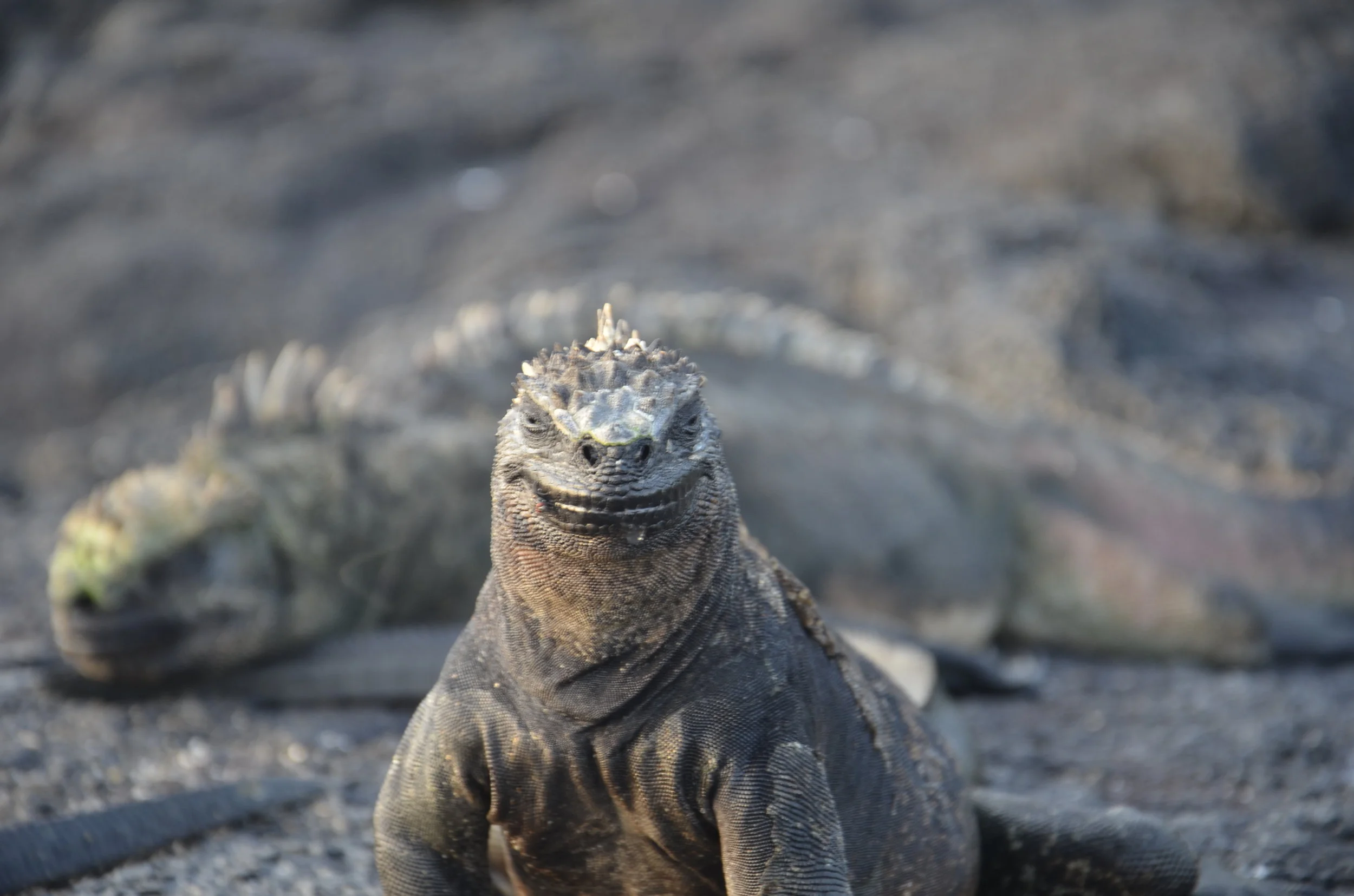
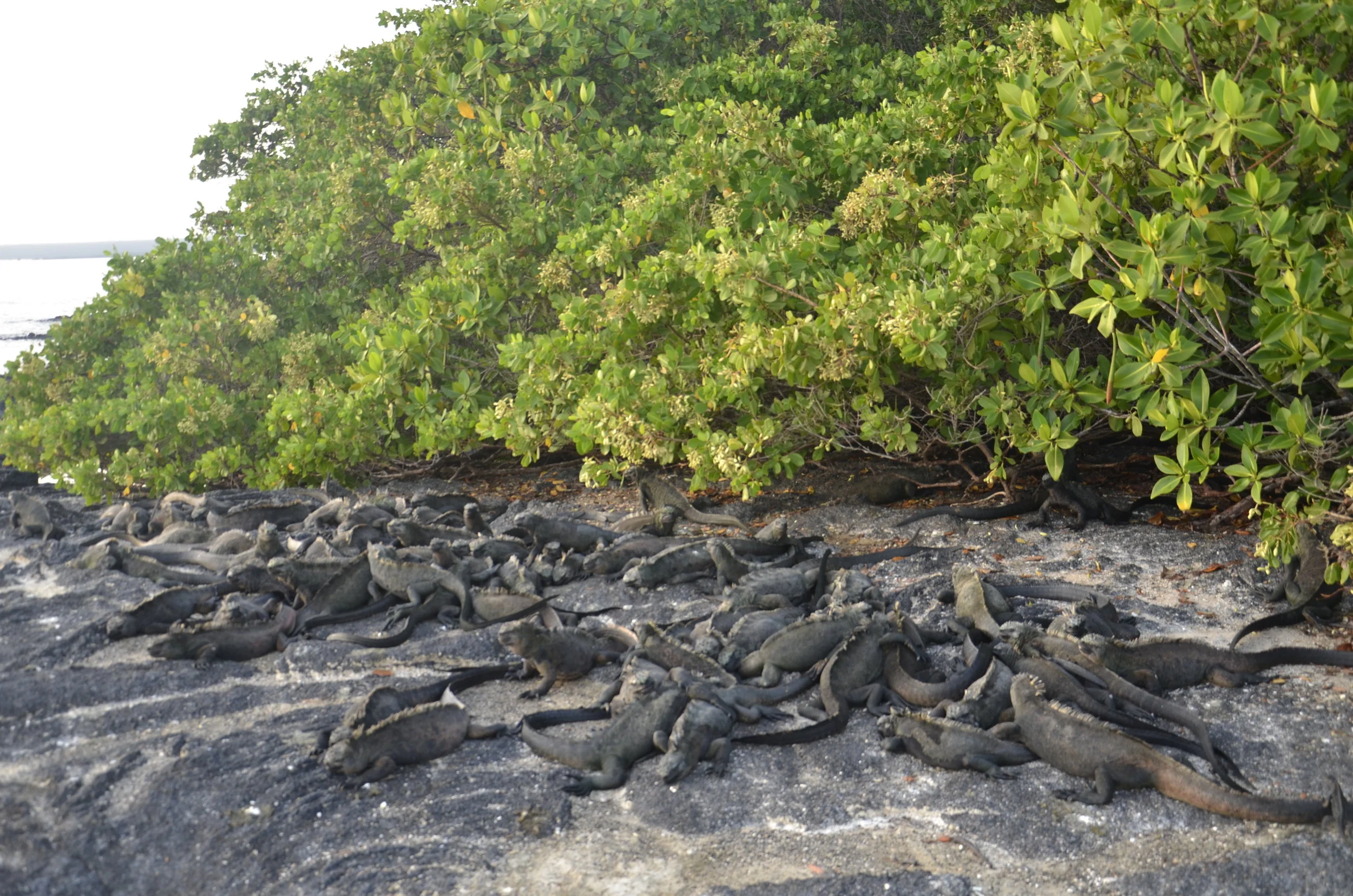
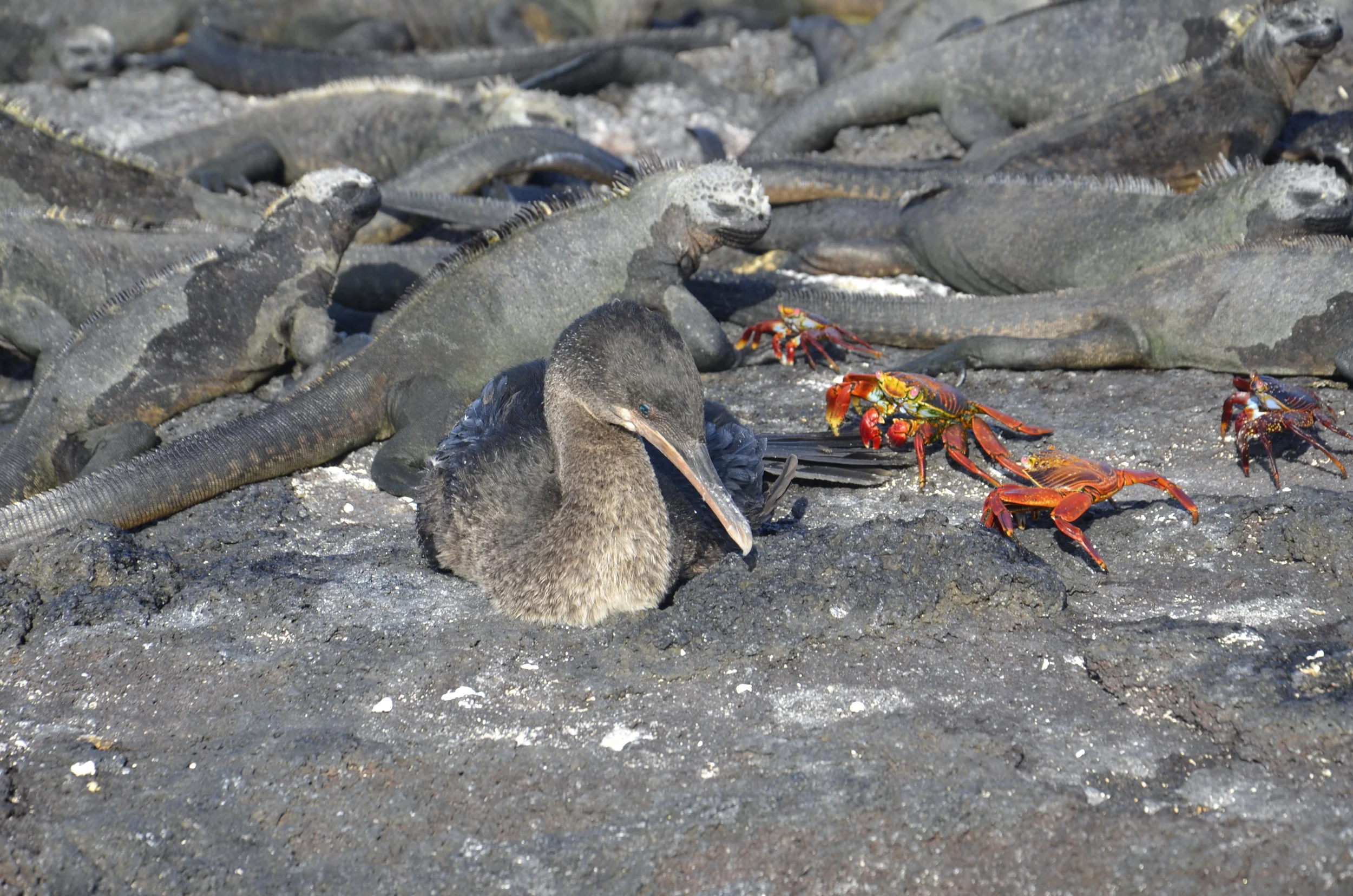
I’m still working on finishing up even the first week from the Galapagos, but since we’re briefly in Washington D.C. to enjoy the cherry blossoms, I wanted to share.

_DSC1502.JPG

We arrived in mid-afternoon to gorgeous weather, but unbelievable crowds.

_DSC1497.JPG

I loved the really gnarly old trees,

_DSC1496.JPG

as well as the contrast of the branches to the flowers.

_DSC1492.JPG

Compared to all the Instagrammers and selfie hounds, Steve and I don’t quite have that down yet…

_DSC1510.JPG

Close ups just make me smile -

_DSC1511.JPG

in either white or pink.

_DSC1530.JPG

We went on around the Tidal Basin to the Jefferson Memorial,

_DSC1509.JPG

…and while walking up the steps, overheard a young boy saying, “yeah, you CAN see “X” from here.”

_DSC1543.JPG

This was the picture I was taking, so I switched lenses:

_DSC1538.JPG

Cool!

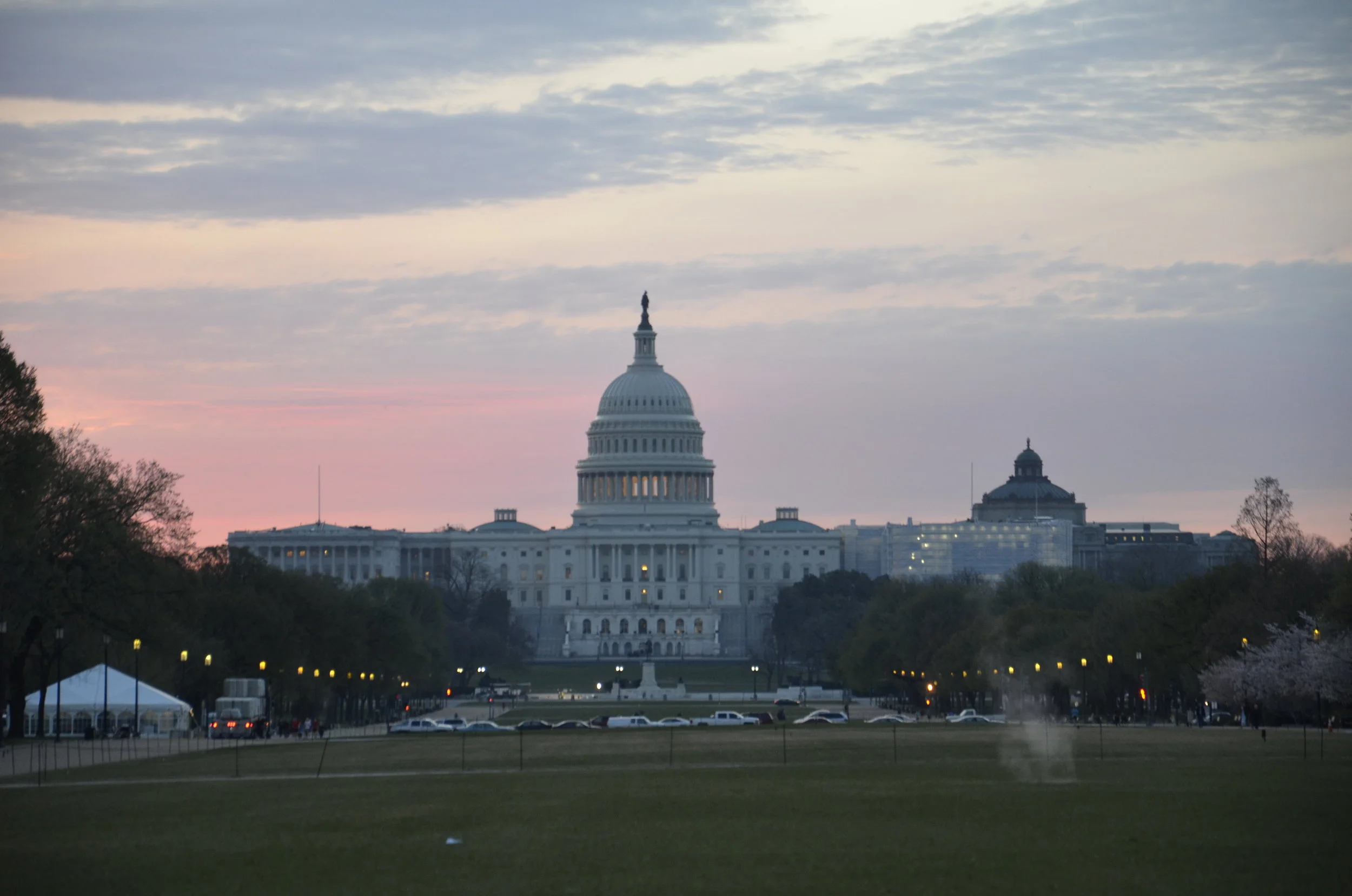
As we walked back across the Mall, I wanted a picture of the Capitol

_DSC1546.JPG

that was then in quite a different light when we went out the next morning for sunrise pictures.

_DSC1547.JPG

Even with Steve grumbling about the early hour, we both greatly appreciated the lack of crowds.

_DSC1553.JPG

Both the lack of wind,

_DSC1548.JPG

and the lighting, made for some gorgeous shots.

_DSC1556.JPG

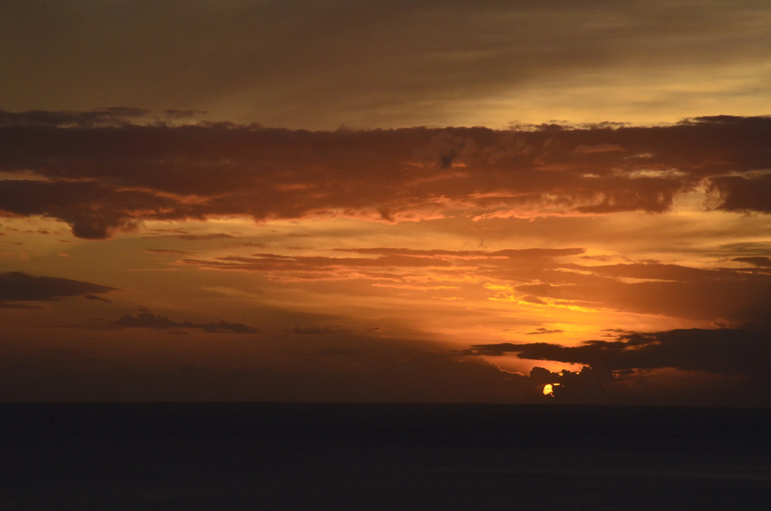
I was waiting around to see how things might look in a different light.

_DSC1561.JPG

About 5 minutes later, the sun came up and changed everything.

_DSC1562.JPG

Only a few more -

_DSC1583.JPG

It was a good morning!

_DSC1592.JPG

and now more from the Galapagos

What - you thought I was finished? Bwahaha

_DSC0452 Golden cowrays.JPG

Like a Monet print, these Golden Cowrays were mesmerizing on our early morning Zodiac ride through the mangroves; as was this turtle -

_DSC0464.JPG

Several other denizens who shared the morning with us -

Lava heron

Lava heron

_DSC0601.JPG
_DSC0529.JPG

…and the promised stubby wings (of the flightless cormorant):

_DSC0568.JPG

That was an exceedingly difficult shot to get, as they only extended their wings as they were rock hopping, lending a lot of blur to photos (not to mention balancing on a moving Zodiac).

_DSC0638.JPG

That afternoon found us hiking across a very rugged lava field, with really neat and different forms of lava.

_DSC0650.JPG

Our long, hot walk was rewarded -

_DSC0659.JPG

Flamingos are very pale when younger, and become darker pink with age, due to the brine shrimp and algae they eat.

_DSC0717.JPG

Hmmm… what next?

_DSC0697.JPG

Galapagos 3

So where were we? Ah yes, in the middle of the Pacific on the Equator…

_DSC0208.JPG

This was our welcoming party as we landed at dawn on Fernandina.

_DSC0205.JPG

The piles of marine iguanas are common in the morning, until they warm up enough to get into the chilly water, to eat algae When they were washed up on the shores of these islands over 4 million years ago, they were originally land iguanas, but there was little in the way of plant life on the barren volcanic ground they found themselves. They evolved to be able to eat algae underwater or at low tide, as well as developed salt glands near their noses to excrete excess salt. We encountered many “sneezing” iguanas (but I never was able to get an action shot).

_DSC0226.JPG

A lava lizard found a good vantage point:

_DSC0222.JPG

As we walked along the trail on the island, we kept meeting more of the inhabitants.

_DSC0323.JPG

The cormorant on the Galapagos is the only species to have become flightless (I’ll have more pictures later of their stubby wings). Note the gorgeous blue eye! The land crabs are Sally Lightfoots.

_DSC0327.JPG

Can you guess what is a predator of the iguanas?

_DSC0274.JPG

This Galapagos hawk was totally unfazed by our presence during his breakfast.

_DSC0295.JPG

This little fella was super curious -

_DSC0300.JPG

That’s our guide, who had settled on the beach to tell us about the “nursery” we were watching in the protected cove. The sea lion mothers leave the babies to go fishing all day, and somehow teach them not to swim out of the shallow protected areas, where they would be good snacks for patrolling sharks.

After going back to the boat for breakfast, we returned to the island to snorkel, hoping to find marine iguanas feeding underwater.

DSCI3646.jpg

Yep, we did.

I couldn’t have composed this group any better if I tried:

DSCI3674.JPG

While snorkeling, I popped my head up every once in awhile, and was thrilled to see these cormorants, blue-footed booby, and marine iguanas sharing a rock.

Later that same day (!), we crossed back to Isabela island and on just a short hike, found land iguanas…

_DSC0338.JPG

..and giant tortoises.

_DSC0371.JPG

For this lady (whose shell came up above my knees), we had to step off the trail into the bushes to let her continue on down the path we had been walking on. We stood in a pretty quiet line just watching her pass.

As we were motoring on down the coast, we had some friends join us. Because our boat, the Samba, was so small, the captain chose to “drive” in big circles keeping these guys, and scores of their friends, enjoying our bow wake for over 30 minutes! All I can say is “Man! They’re big.” (check out during the video how they turn on their side to check us out)

And all that was just one day! Whew. I’m exhausted. See you later.

_DSC0996.JPG

Galapagos 2

I don’t know how many of these posts in total that I’ll have, since there are so many pictures and stories I want to share! That’s why the titles of these blogs is not very inspired. Now, when we last left, I promised some video. Most likely, the underwater videos will be from Steve’s new GoPro, as the clarity and colors are gorgeous on it, compared to the ones I shot. However, the land videos will be from my Nikon.

As I hinted previously, we were absolutely thrilled to be seeing hammerheads so close. We had planned to dive in Galapagos, but then I had my little episodes of bends, and decided that the conditions there were not safe for me to contend with. Diving in the Galapagos essentially “guarantees” schools of hammerheads, as well as other sharks, but from quite a distance usually, as they’re skittish animals, and don’t like divers’ bubbles. Thus, seeing them right below us when snorkeling fulfilled a nearly lifelong dream.

DSCI3550.JPG

Their heads and eyes are just so cool!

OK… on to other species. The next day we were to go snorkeling near a deserted island (Marchena), when the crew spotted dolphins on the way. We dropped into the water to find:

We were amazed and thrilled at the sheer number in the pod. I don’t have anything to compare their size against, to show you, other than to say that they’re huge! Later, I’ll share another video when they were in front of our boat.

The next day found us off the NW coast of Isabela island, after a nearly sleepless night due to a rough ocean crossing, then an anchorage that had us rolling back and forth very sharply in our beds. Our hike that day was cancelled because the waves were too high for us to land. It was a pretty interesting island to see from a distance -

_DSC0141.JPG

Around lunchtime, we crossed the equator:

_DSC0175.JPG

and celebrated with a countdown and pisco sours. This is Isabela island at the equator:

_DSC0181.JPG

Many of the islands we visited on our trip looked like this. In fact, it was really weird when we encountered “civilization” of a town of 100 souls later in our voyage. Further down the coast of Isabela was a protected cove that had some of our neatest underwater encounters. We jumped in to find the water was remarkably colder than we had had previously. It was now 72 degrees, and on a later snorkel, registered 68 degrees. For those of you who probably snorkel in the Caribbean, the water there is close to 80 degrees. Jumping in literally took our breath away!

This bay gave us our first exposure to friendly and playful sea lions:

DSCI3590.JPG

… a tropical penguin…AND… marine iguanas -

DSCI3613.JPG

I couldn’t resist this photogenic crew:

DSCI3625.JPG

This bay also treated us to flightless cormorants underwater. These islands are the only place in the world where cormorants evolved to be flightless.

This cove also had the largest concentration of green sea turtles that we had ever seen (note how shallow)

I don’t have a blockbuster finish for this post. Here’s one of the many sunrises we were treated to on our 0600 excursions -

_DSC0196.JPG

Galapagos

We embarked on our 2 week exploration of most of the islands aboard a small boat, along with 12 other intrepid souls. Our first stop was this blindingly white strip of sand -

_DSC9861.JPG

where we literally had to tiptoe around the occupants.

_DSC9876.JPG

While walking along the beach, we came upon this marine iguana on a whale skeleton, as if he was posing for us:

_DSC9886.JPG
_DSC9881.JPG

And this was just the first afternoon after boarding the boat! Our group of 14 quickly bonded over 6 am excursions and ocean snorkeling trips.

Speaking of early morning hikes, the next day found us nose to beak with a noisy colony of Great Frigate birds.

_DSC0011.JPG

When a male is trying to attract a mate, he extends his neck pouch and wings and calls to her. These 2 pairs are seemingly happy, but a guy can’t be too sure, can he?

We also saw both morphotypes of red-footed boobies - white:

_DSC9911.JPG

and brown -

_DSC9915.JPG

The red-footed boobies nest in mangrove trees, while the Nazca boobies make nests of twigs and pebbles on the ground:

_DSC9946.JPG

Later that same day, we made another landing and hiked up onto a plateau where we were treated to a Short eared owl snoozing after a successful hunt. I was so glad I had brought my long lens to get these great close-ups, but sometimes the animals were so close, I had to switch back to my short one!

_DSC0069.JPG

In my next post, I’ll include a video of this guy:

DSCI3551.JPG

Steve and I felt like we’d died and gone to heaven to be just snorkeling and see several Scalloped Hammerhead sharks mere inches below us! Again, this was all on our first full day!! Awesome.

Quito, Ecuador

Before we headed to the Galapagos for our 2 week exploration, we had a day to check out Quito. The first thing we did was go up the aerial tram for awesome views of the city and surrounding mountains. Quito sits at 9350 ft. and the tram took us up to 12,950 ft. Since we had just flown in from Miami at sea level, this was quite a difference. Last year, I hadn’t noticed the altitude much, as we had plenty of time to become acclimated, but this time, I really noticed the headache, dizziness and breathlessness when just climbing a few steps after we got off the tram.

_DSC9790.JPG

Of course we headed on up to the swings that we could swing out over the edge of a cliff at 13,450 ft!

_DSC9793.JPG

For those who don’t read Spanish, that translates to “swing in the clouds”. I was thinking of my sister, Ann, when we had this picture taken:

_DSC9801.JPG

The views from the top of the world were breath-taking.

_DSC9787.JPG

We then wandered down into Old Town, and couldn’t figure out why everyone was spraying each other with foam, until we remembered that the next day was Mardi Gras (and at least in Quito, the Monday before is a holiday, and the streets were packed). We managed to not get too soaked, and saw a number of churches and nice government buildings from the 1700s, as well as the Plaza Grande, that reminded us of the square in Arequipa, Peru.

_DSC9828.JPG

The Basilica towered over the city, and this view begins to hint at the “verticality” of the city (we hiked up and down LOTS of streets).

_DSC9832.JPG

When learning there was the chance to climb up the clock tower, guess what we did?

_DSC9837.JPG

There were great views of the city:

_DSC9856.JPG

… as well as their version of gargoyle water spouts (different bird species). {expand the picture to get more details}

_DSC9858.JPG

The last 2 in the line, frigate and pelican, give a nice segue to our upcoming adventures in the Galapagos.

_DSC0008.JPG

Stay tuned, for many more little friends…

_DSC9878.JPG

More Dominica

Literally marching on… we went hiking several days with our hosts and got great views of the island and surrounding ocean from many vantage points.

_DSC9441.JPG

We hiked up to the clouds to reach Boeri Lake, one of 2 huge freshwater lakes near the top of the island, filled only by rainwater!

_DSC9452.JPG

Repeating what I said before about hiking conditions on Dominica, we went through a lot of mud and water at times:

_DSC9469.JPG

On other hikes, the sun came out and we were surrounded by beautiful flowers…

_DSC9488.JPG

…and treated to great views of the coast.

_DSC9494.JPG

That’s Guadeloupe on the horizon (about 50 miles away), where we’re headed next for a few days before returning to Nashville.

As Steve and I would drive around the island, I was particularly taken by the plantings of what we would consider in the States to be “ornamentals” on both sides of the road, even in very isolated areas. Apparently the volcanic soil is so rich here, and growing conditions so perfect, that you can just “put a stick in the ground and it’ll grow”.

_DSC9561.JPG

Another interesting point about the island is that several scenes from the second and third Pirates of the Caribbean movies were shot here. The road map we used to navigate even had filming sites noted, and what scenes were staged there. One of them was called “Chase scene” where Johnny Depp was chased up a river. Rivers all over the island empty into the sea after passing through lots of rainforest.

_DSC9571.JPG

Dominica is said to have 365 rivers, while Antigua and Barbuda (a Caribbean island country we haven’t visited yet) has 365 beaches.

I haven’t ever posted someone else’s video (and especially not a commercial), but this group that took us canyoning was just awesome. Everything you see on the video we did, but it was nice because we were just a group of 4.

20190210_092440.jpg

If you ever really want to test your limits (and stretch them), canyoning is the way to go!

Another neat sight right near us on the NE corner of the island was the Red Rocks area. We hiked on white sand and black sand beaches to get good views of it…

_DSC9529.JPG

…and then walked up over it and found a nice spot to have cocktails…

_DSC9534.JPG

…while watching the colors shift with sunset and night fall.

_DSC9582.JPG

Adieu for now. Next up - Galapagos!

Dominica

First thing we learned is how to correctly pronounce the name of the island: Dom - i - NEEK - a (not Doe- MIN - i - ca). It’s known as the Nature Island. We quickly came to appreciate this, as our “adventure travel hotel” hosts put us through our paces, while we gamely tried to explore a LOT of the island in our first 6 days with them.

_DSC9301.JPG

Our first day of hiking was deep along a hillside. Can you spot the cow that was tethered there? Most trails on the island are narrow, muddy and steep. In fact, I posted a review on Trip Advisor entitled “Steps, mud and wow!”

_DSC9303.JPG

We also snorkeled at several places, and this was one black sand beach that we enjoyed -

_DSC9316.JPG

On a hike that same day, I made a new friend:

IMG_20190201_163921.jpg

The next day we headed to Scott’s Head, which is the southernmost point of the island, and was cool because the Caribbean Sea (on the left) and Atlantic ocean (on the right) were only separated by a narrow spit of land.

_DSC9326.JPG

Dominica is characterized by sharp peaks and lush vegetation (even though Hurricane Maria literally stripped it bare of every single leaf in Sept. 2017, with 220 mph winds).

You can almost visualize the sunken caldera that formed this bay:

_DSC9335.JPG

So….the next day, we hiked to Middleham Falls, and here’s where the mud and steps and wow! came in.

_DSC9337.JPG

I had been warned by our guide that the trip was relatively strenuous, and most likely muddy. He encouraged me to walk through the stream at the beginning of the hike, to get my socks and shoes wet, and then I wasn’t so put off by all the “squishy” mud we slogged through (up over our shoe tops) on all the steps leading to the waterfall - yes, those logs were the “steps”.

Part of the trail became one of the creeks that fed into our goal.

_DSC9340.JPG

I got so far out of my comfort range on this hike, but then was so rewarded:

_DSC9345.JPG

The wind blowing off that pool from the force of the water falling 200 ft. was amazing.

_DSC9351.JPG

We had never swum in a waterfall pool before. What a blast!

_DSC9374.JPG

OK - next day… we were taken in a small motorboat to see several sights that you can only get to by water, as well as to snorkel.

the light green patch in the water was a snorkel and dive spot called Split Rock

the light green patch in the water was a snorkel and dive spot called Split Rock

_DSC9414.JPG

Secret Beach was a cool little spot all to ourselves -

_DSC9428.JPG
_DSC9429.JPG

On our way back to the dock, at the end of another long day, these fine feathered friends were just hanging out in the harbor amongst all the boats anchored there. They, and I, bid you farewell until our next posting.

_DSC9424.JPG

Martinique

We spent our first 4 days on the island at an apartment right on the beach at Les Anses-d’Arlet (in case anybody was interested in the name of the town). Sunset from our porch:

_DSC9102.JPG

A different “coffee buddy” -

_DSC9114.JPG

He was the size of my hand, and lived in a hole under our porch.

We spent our time on this southern part of the island driving around the coast and checking out beaches - rough life, I know. Very pretty and expansive beach that was abysmal for snorkeling - [No one else was doing so; we should have heeded that observation.]

_DSC9089.JPG

We found the best snorkeling on this island to be right outside our gate on the beach in front of us!

_DSC9129.JPG

Tired of pictures of palm trees and beaches? No?

_DSC9090.JPG

That’s Diamond Rock. Here’s another view:

_DSC9100.JPG

We then moved to the northern part of the island to stay in a rainforest B&B. And did it rain… every day, at least a fine drizzle. Then about every other day, constant rain or even downpours that lasted the entire day. This is the view from our balcony, on a pretty clear day -

_DSC9232.JPG

On the way here, we stopped at a botanical garden, as something to kill time before check-in, and we were super happy to have stopped. It was actually pretty large, and gorgeously maintained. As you walk in, there are hummingbird feeders that had me shooting way too many pictures that I edited down to:

_DSC9163.JPG

There was an elevated walkway that was a series of swinging bridges suspended between multiple trees, that allowed this view:

_DSC9200.JPG

As we drove around, I would tell Steve that the road ahead was “squiggly”:

Screenshot_20190125-082933.png

…this meant that there were a lot of twists and turns, as well as hairpin turns and switchbacks, with a lot being on an unbelievable grade and having sheer drop offs with little or no shoulder. Luckily most of the roads were wide enough for 2 cars to barely pass. Once both Steve and the other driver had to fold in the side mirrors.

_DSC9207.JPG

The vegetation was indescribably lush.

We hiked to a black sand beach, of which there are many along the west coast due to the volcanic origin of the island.

_DSC9227.JPG

The sand was so fine and dark it looked like mud:

_DSC9231.JPG

One morning, we drove across the island to Presqu’ile de la Caravelle - a long isthmus extending out into the Atlantic on the east coast, and hiked up to a lighthouse for awesome views:

_DSC9242.JPG

Hiking around the point gave us gorgeous views of the rugged Atlantic coast.

_DSC9263.JPG

The contrasts between water, land and sky kept me saying “wow”.

_DSC9272.JPG

This was the halfway point of the 6 mile hike, when I was still smiling:

IMG_20190125_112858.jpg

When we were wandering around the ruins of a sugar and rum plantation from the 1700’s, I suddenly started feeling very bad - nauseated, crampy, dizzy and lightheaded. I nearly fainted, but bent over in the shade until all that passed, and then felt much better after getting back to the car. As we enjoyed a great lunch at a beach restaurant, I looked up the symptoms of heat exhaustion, and found that I fit that to a “T”. During the hike I had felt strong and fine, but looking back, I probably didn’t drink near enough water along the way. I rehydrated that afternoon, and have had no issues since.

_DSC9293.JPG

These Heliconia grow wild all over the island. There are many different varieties and color combinations.

One of the activities I had planned for us was hiking up Mt. Pelee, a still active volcano. However, the one day we drove up there, everything was shrouded in grey cloud and mist. Apparently this is the way it is all the time. I just couldn’t see killing myself ascending 3000 ft, clambering over rocks and through mud, and getting soaked in the constant rain for 4 hours, just to see the inside of more clouds. As you may remember, we had the fantastic hike and views up Mt. Soufriere on Guadeloupe, so I hunkered down and asked Steve to drive to the beach instead. The sweetie swallowed his hiking desire and turned the car back down the mountain.

_DSC9212.JPG

This is the town of St. Pierre, with Mt. Pelee looming over it, with its constant cap of clouds. St. Pierre was the initial capital of Martinique, but lost that position after Mt. Pelee erupted in 1902, destroying the town and killing 29,000 people.

Here is another view of the volcano, from the town of Morne Rouge at its base:

_DSC9284.JPG

We plan to spend the day at the beach tomorrow, before heading on to Dominica and more adventures. I’ve always wanted to lay on a beach lounger under an umbrella, and have a nice young man bring me drinks in between swimming in the surf and watching these guys run in and out of their holes -

IMG_20190126_140057.jpg

Leaving you with one last jungle picture -

_DSC9209.JPG

St. Lucia

Now we’re back on “English” soil, and driving on the ‘wrong’ side of the road. So ordering at restaurants and buying at the grocery store is easier, but the driving is more challenging. Steve did quite well, as you can imagine.

_DSC8785.JPG

This was our view from the balcony at our apartment - this is Marigot Bay, a natural deep water inlet to escape hurricanes or invading French ships (apparently this bay hid an entire English fleet at one time). On our drive down the west coast, we frequently saw:

_DSC8789.JPG

…until we reached the Pitons and the town of Soufriere.

_DSC8794.JPG

These are the famous landmarks of St. Lucia, and are volcanic spires jutting out from the surrounding sea that is 2,000 ft. deep around them. We had decided not to go diving on this trip, so you’ll be spared yet more fish pictures. ;)

“We” decided not to climb Gros Piton, since we had just climbed La Soufriere on Guadeloupe, and my back was acting up. Instead, we went to a nature trail that was on a ridge between the Pitons, and had fabulous views with little effort.

_DSC9060.JPG

We also went snorkeling another day, at Anse Chastanet, which is a public beach to the high water mark, but otherwise is for the use of 2 exclusive resorts that are way out of our price range (think $600 - 1500 per night). We enjoyed being the poor cousins enjoying the really good snorkeling, while the “other half” lay on their lounges and drank tiki drinks.

IMG_20190114_145359.jpg

Another day trip had us heading to the north end of the island and hiking up little hills to a lookout point with great views of St. Lucia, as well as Martinique, just 24 miles to the north.

_DSC8839.JPG

This was Pigeon Island, and besides being turned into a local park, it also had remains of an English fort.

_DSC8853.JPG

Steve had a surprisingly good time on a birding hike, where we got up before 0600, and spent 3 hours in a rainforest trying to see different bird species. St. Lucia has 5 endemic species (meaning they are found no where else in the world) - St. Lucian parrot, oriole, black finch, warbler and peewee. We saw 2 parrots flying over a ravine, and I captured a blurry image of an oriole:

_DSC8932.JPG

We saw 4 out of the 5, missing the peewee, and saw a cool fresh water crab in the creek running through the property -

_DSC8979.JPG

Also while out driving, we passed many plots of banana trees, with blue plastic over most of the bunches:

_DSC9043.JPG

This was to keep them unblemished from weather and insects, for export. It was interesting to learn that after a banana tree fruits, it dies, and then another plant comes up next to it from runners under the dirt. The flower is the large red “pod” underneath the bunch, that initially grows straight up, until the weight of the developing fruit causes it to bend over. The fruits then grow up towards the sun.

_DSC9044.JPG

You know the roads are challenging when you see signs like this (pardon the blur, Steve was driving fast):

_DSC8793.JPG

One other stop we made was at a botanical garden that was very beautifully laid out and peaceful (except when loud speaking guides passed with tour groups). Diamond Waterfall is colored because of the minerals dissolved in the water from the surrounding hot springs.

_DSC9068.JPG

My morning coffee buddy on the balcony is here to bid you goodbye, until I next post from Martinique.

_DSC8805.JPG

Guadeloupe (deuxieme partie)

…that’s “part two” for you non-Francophiles. Out of all the countries we’ve visited so far, this has been the one to have the largest language barrier. After having such an easy time in Italy (and not knowing a shred of Italian when we went) because essentially everyone spoke fairly good English, we’ve been pulled up short by our minimal French vocabulary. I found out that 85% of tourists here are from mainland France, so why should they bother knowing English? We have found only rare menus in English, so we’ve relied on Google Translate quite a bit, until we internalized some of the more common terms. It sure has lead to some giggles by both us and waitstaff. It’s been very heartening at how much they have tried to understand us, rather than just disdaining us. Dinners have been very entertaining affairs (even before alcohol is served)!

_DSC8591.JPG

Our next big excursion was to tackle La Soufriere. This is the still active volcano on the south end of Basse Terre island, that you can “easily” hike to the top. We could actually see this from our apartment, and all week had watched it wreathed in clouds. This is apparently true but for 30 days a year. So, imagine my joy, when I awoke one morning and saw:

_DSC8740.JPG

We quickly set out and got to the parking area by 0800, which was such a blessing, as we got a spot right near the trailhead, rather than having to walk a half mile or more uphill, even before beginning the formal trail. It was “only” 2 miles of hiking up, but we gained 2200 ft over that distance, topping out at 1467 m (4,813 ft). We started in the rainforest:

_DSC8683.JPG

but fairly quickly came up out of it to see our goal -

_DSC8684.JPG

(This shot was actually taken later, but if you expand the picture, you can see the people on the trail across the lower half):

_DSC8735.JPG

We took about 1 1/2 hours to go up, and there were some narrow spots along the way -

IMG_20190110_091155.jpg

as well as gorgeous views across the interior of the island.

_DSC8698.JPG

There was a large rift near the top that has been filled in over the years with mature palm trees (giving you the scale of the cleft) -

_DSC8693.JPG

After clambering with both hands and feet over the last 20 minutes, nearly straight up, we reached the top, and boy, was it worth it!

The ocean you see here is actually where the Atlantic and Caribbean meet.

The ocean you see here is actually where the Atlantic and Caribbean meet.

IMG_20190110_101330a.jpg

There are several small vents, as well as the big ‘un:

(there’s a person on the trail at the mouth of the crater to give scale)

(there’s a person on the trail at the mouth of the crater to give scale)

_DSC8727.JPG

This was a “little” point that we didn’t feel we needed to climb up, after we saw the young people having a tough time with it. Again, enjoy the view:

_DSC8719.JPG

We decided to treat ourselves to a little rest and relaxation the next day by joining an all day boat tour exploring the mangrove lagoon off the north end of the island (Grand Cul-de-Sac Marin).

IMG_20190111_131407.jpg

There are numerous islets, both tiny and large, of mangroves in the 330,000 acres of marine reserve. This is one island that is slowly being reclaimed by the sea:

IMG_20190111_121244_1.jpg

where we stopped to have a drink -

IMG_20190111_124545.jpg

We also did some snorkeling at several spots, but again, there wasn’t anything that was really novel for us. It was pretty cool to see the kids on our boat get excited by stingrays and starfish, so we enjoyed their discoveries vicariously.

IMG_20190111_100357.jpg

The water was such a brilliant blue because it was only about 1-3 feet deep over much of the lagoon.

Now we’re off to St. Lucia!

IMG_20190111_124836.jpg

Guadeloupe (part one)

This year “we” decided to take it easier on our exploration of Caribbean islands (meaning visiting only 4 islands, rather than 7, over about the same period of time). Guadeloupe is an overseas region of France, that is actually a number of islands. For the first 10 days of our trip, we stayed on the largest island, Basse-Terre, and just outside of the capital city of the same name. From there, we explored the mountainous, rainforested part of the nation, while at the end of our journey, we’ll return to Guadeloupe to stay on the more beachy island of Grand-Terre.

We first hiked along the southern coast,

_DSC8585.JPG

and came upon the remains of a windmill:

_DSC8583.JPG

On another day, we headed up into the rainforest in the center of the island and in the center of the National Park that encompasses almost half of the island. This was the path:

_DSC8609.JPG

that led to the “cascade” (basically, French for little waterfall):

_DSC8610.JPG

Here’s a common scene as we drove around the coast:

_DSC8635.JPG

One morning, we rented kayaks to snorkel at these offshore islands in the Cousteau Reserve. It was about a 20 minute trip out, and 30 minutes coming back against the wind. Given our past diving, we didn’t consider the underwater life that great, but it was a fun diversion.

_DSC8637.JPG

Next up was visiting the Carbet Falls. We were SO glad we got there early, as we were by ourselves at the overlook for several minutes; and then came upon numerous people on our way back out.

_DSC8651.JPG

As you can see, this island is very lush.

(I actually included people on the path to give some scale - can you see them?)

(I actually included people on the path to give some scale - can you see them?)

From the overlook:

110 metres high

110 metres high

_DSC8670.JPG

Tomorrow we plan to hike up the (still active) volcano, Mt. Soufriere, and explore mangrove islands by boat and snorkel the next day. Au revoir!

_DSC8646.JPG